
Introduction
Publication
- Alexandre Robicquet, Alexandre Alahi, Amir Abbas Sadeghian, Bryan Anenberg, Eli Wu, Silvio Savarese. Forecasting Social Navigation in Crowded Complex Scenes
Dataset
Statistics
The dataset consists of eight unique scenes. The number of videos in each scene and the percentage of each agent in each scene is reported below.
| Scenes | Videos | Bicyclist | Pedestrian | Skateboarder | Cart | Car | Bus |
|---|---|---|---|---|---|---|---|
| gates | 9 | 51.94 | 43.36 | 2.55 | 0.29 | 1.08 | 0.78 |
| little | 4 | 56.04 | 42.46 | 0.67 | 0 | 0.17 | 0.67 |
| nexus | 12 | 4.22 | 64.02 | 0.60 | 0.40 | 29.51 | 1.25 |
| coupa | 4 | 18.89 | 80.61 | 0.17 | 0.17 | 0.17 | 0 |
| bookstore | 7 | 32.89 | 63.94 | 1.63 | 0.34 | 0.83 | 0.37 |
| deathCircle | 5 | 56.30 | 33.13 | 2.33 | 3.10 | 4.71 | 0.42 |
| quad | 4 | 12.50 | 87.50 | 0 | 0 | 0 | 0 |
| hyang | 15 | 27.68 | 70.01 | 1.29 | 0.43 | 0.50 | 0.09 |
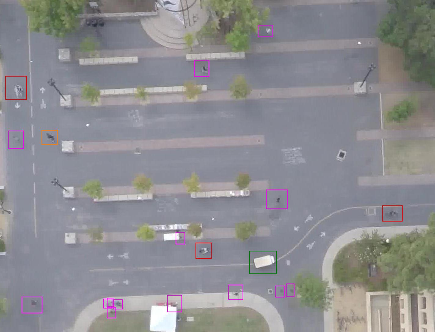
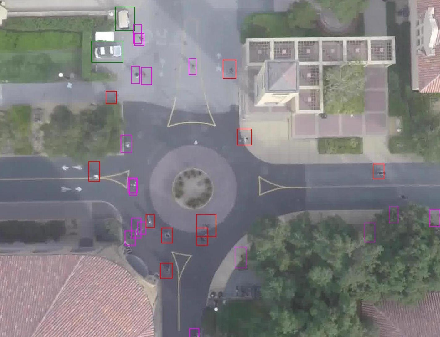
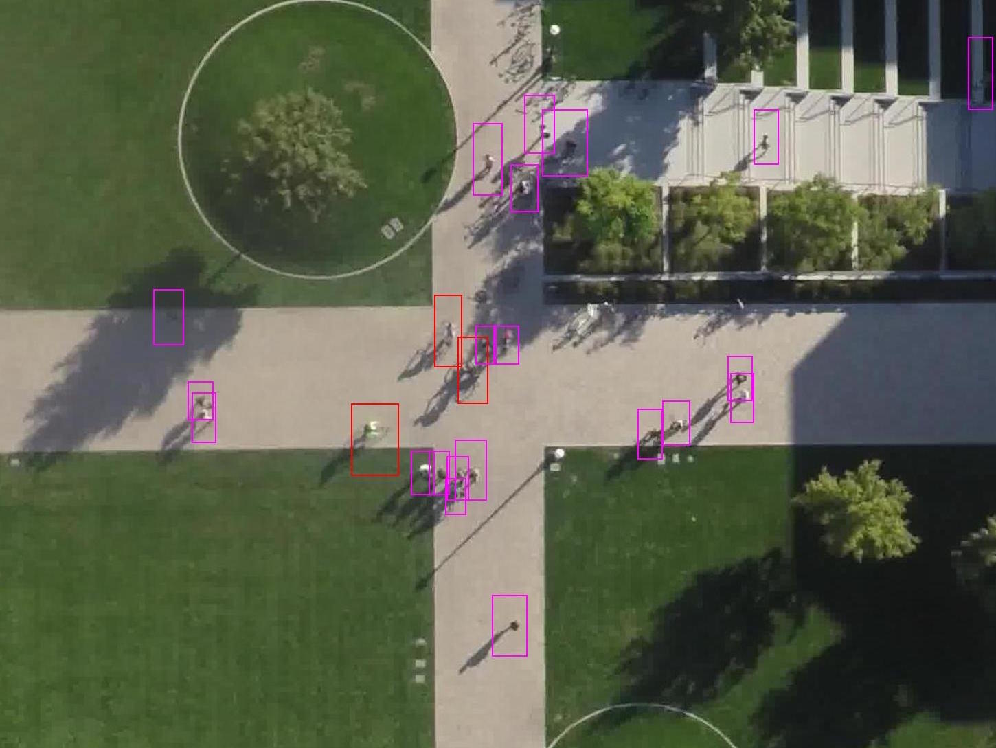
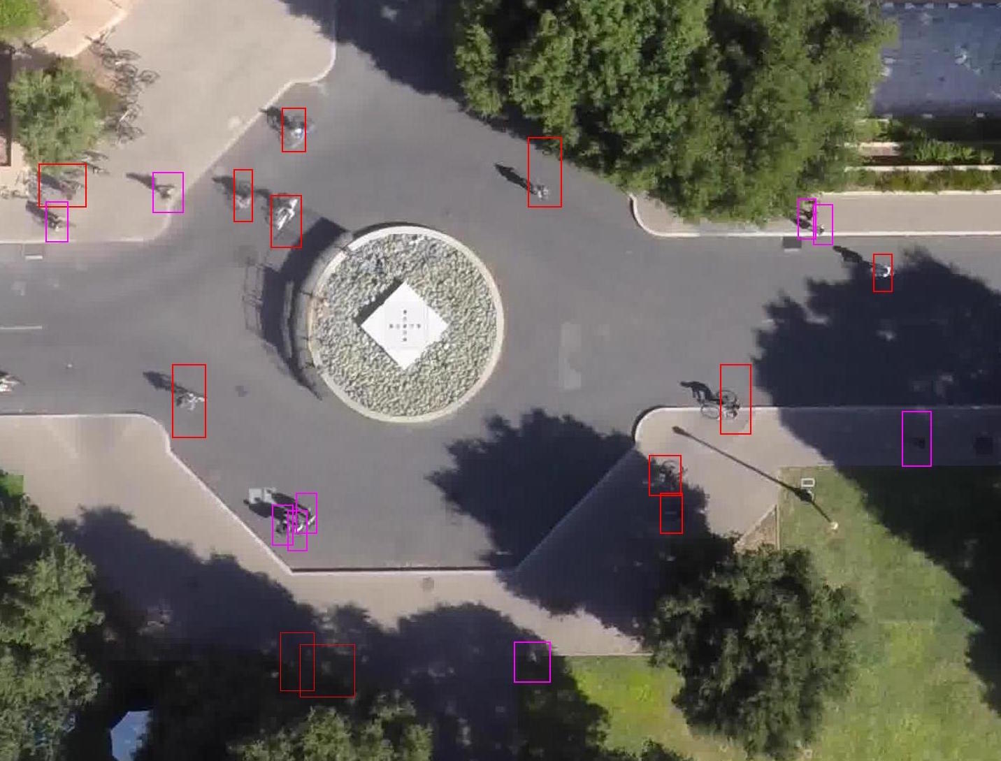
Annotation samples
Contact : anenberg at stanford dot edu
Last update : 12/19/2015