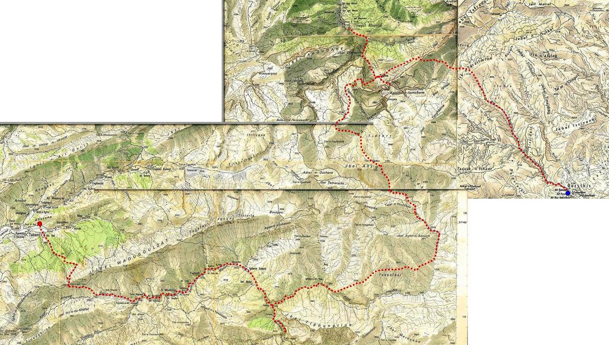
Tabant-Mgoun-Imejdag-Taghia-Oussikis (June 15-21, 2008): 2. From the Cirque of Taghia to Oussikis
![]()
Return
to main tabant-mgoun-imejdag-taghia-oussikis webpage
Click here for a high-resolution topographic map.
June 19: Descent of the cork-screw trail to Taghia and Agoudin
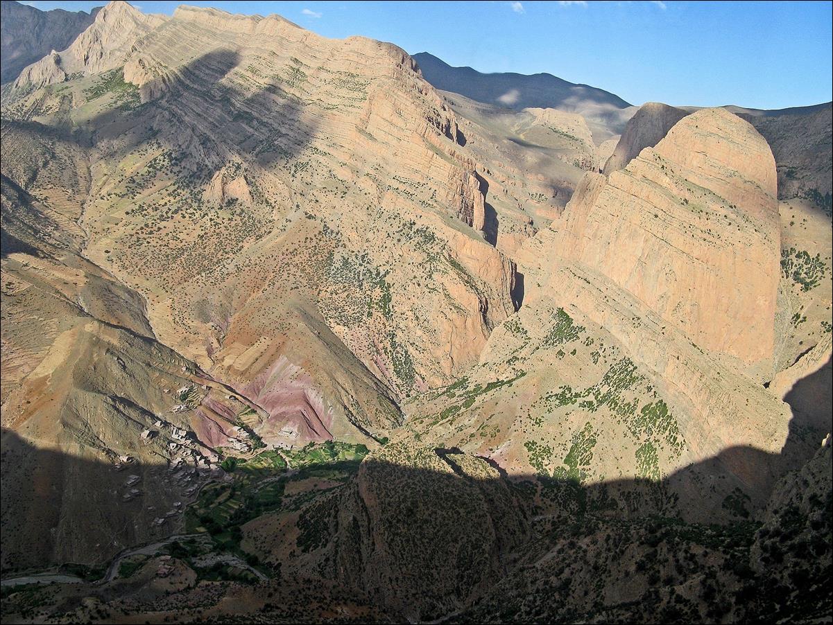
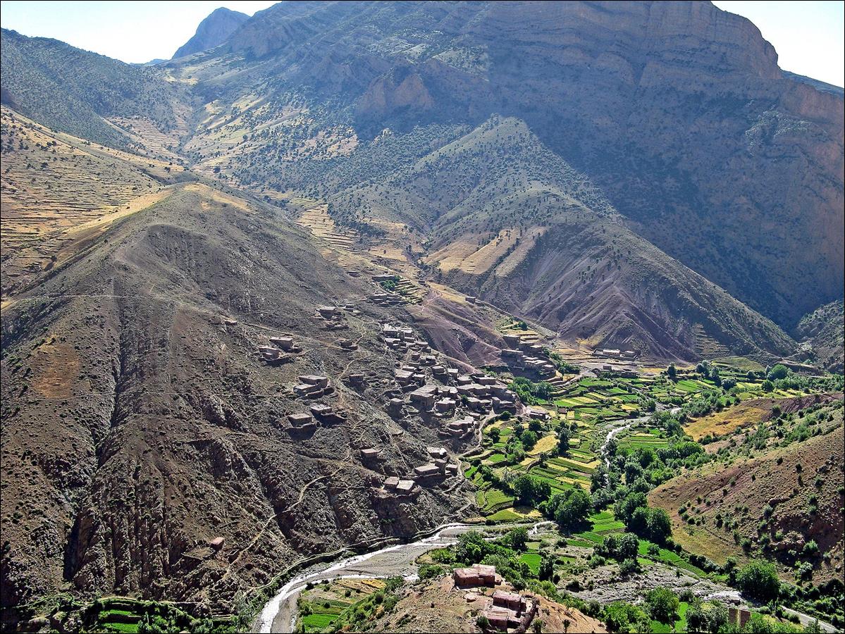
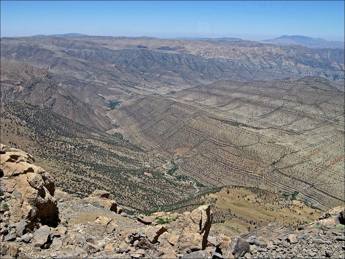
Another view
over the cirque of Taghia from the top of the
cork-screw trail.
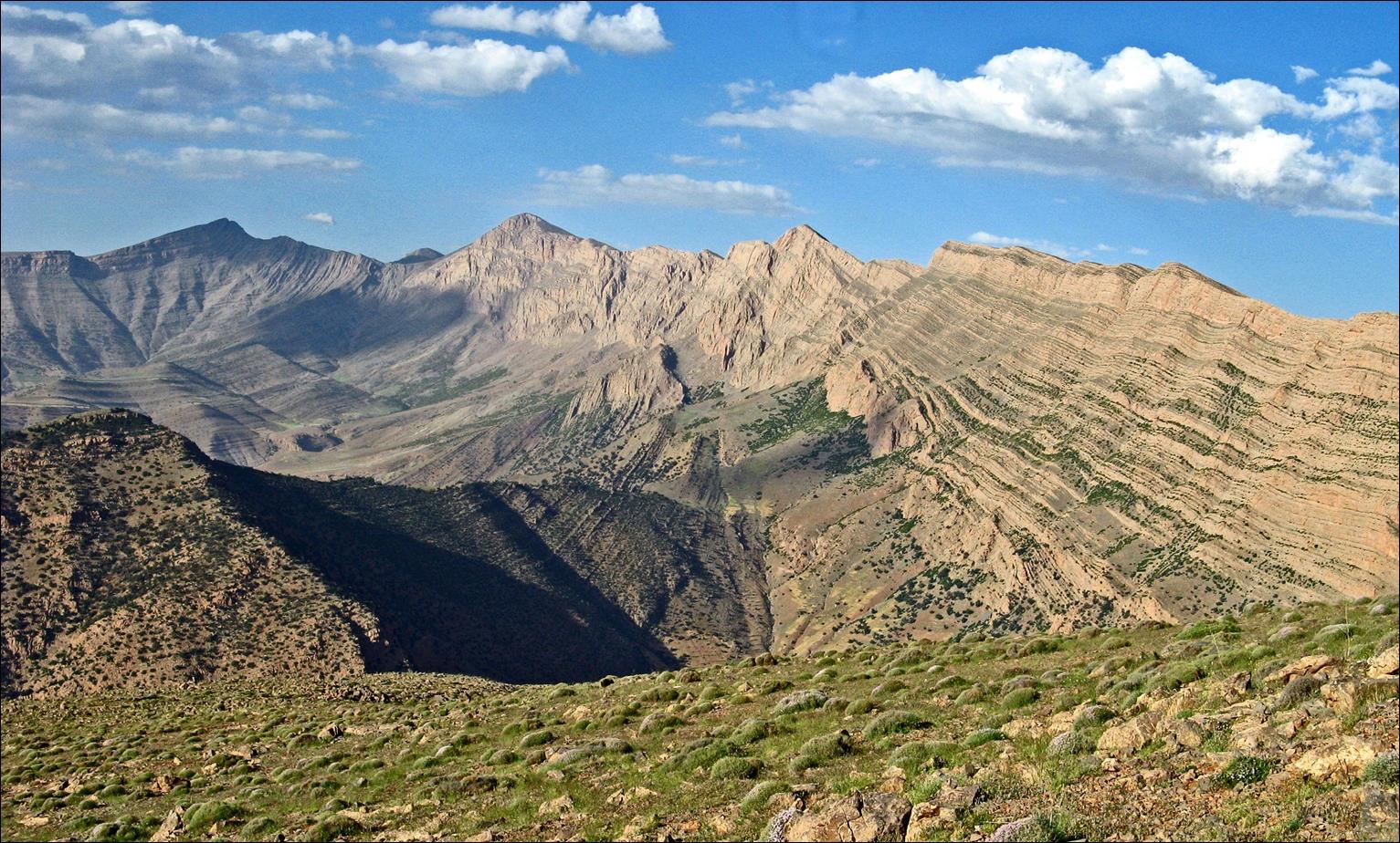
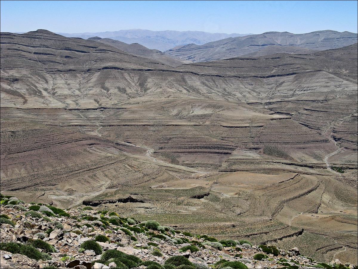
Jebel Timghazine, which I will cross two days later, also seen
from the top of the cork-screw trail.
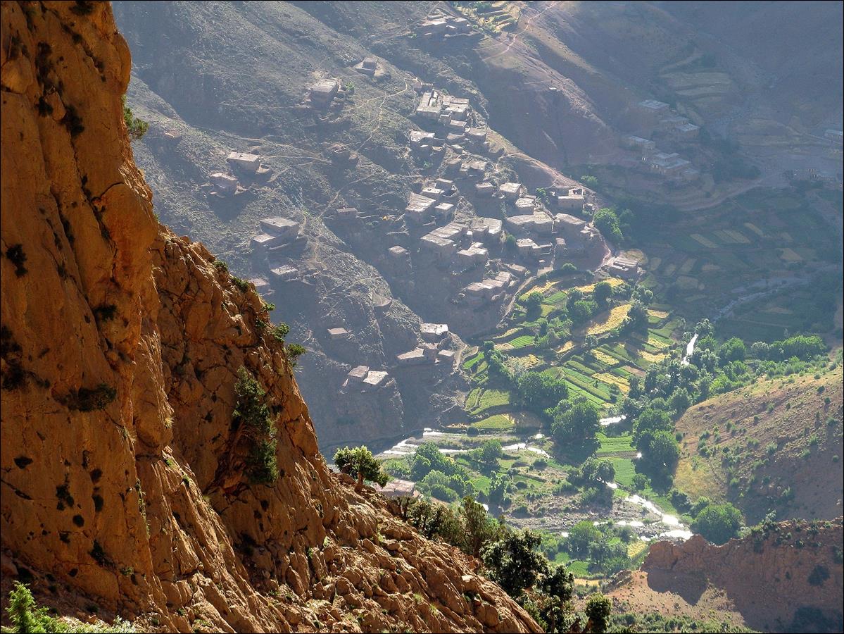
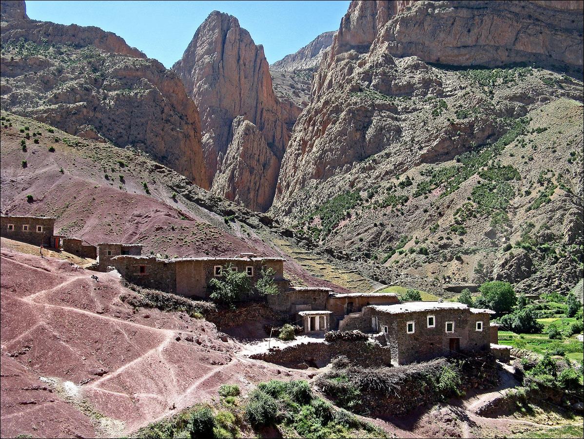
The village
of Taghia seen during the descent of the cork-screw
trail.
Left: the
cork-screw section of the trail. Right: Cliffs of the cirque of Taghia.
|
|
|
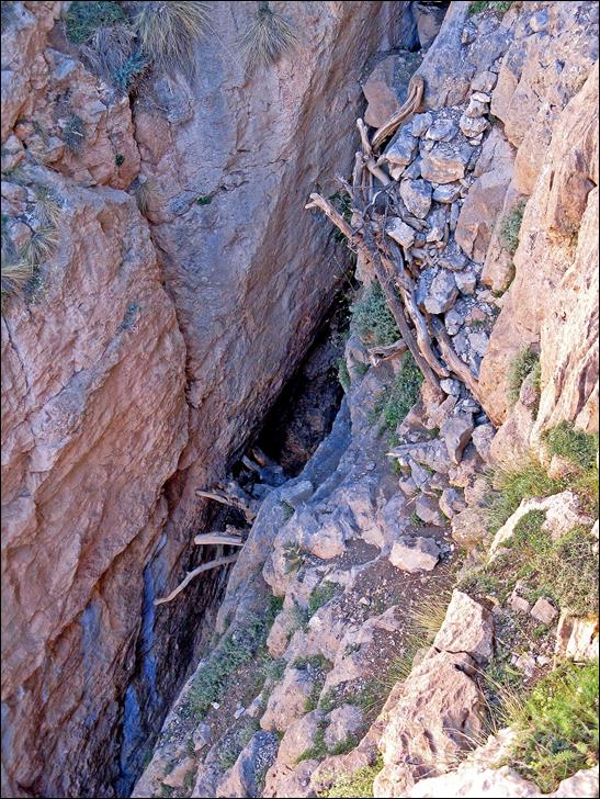
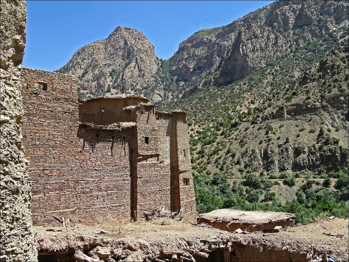
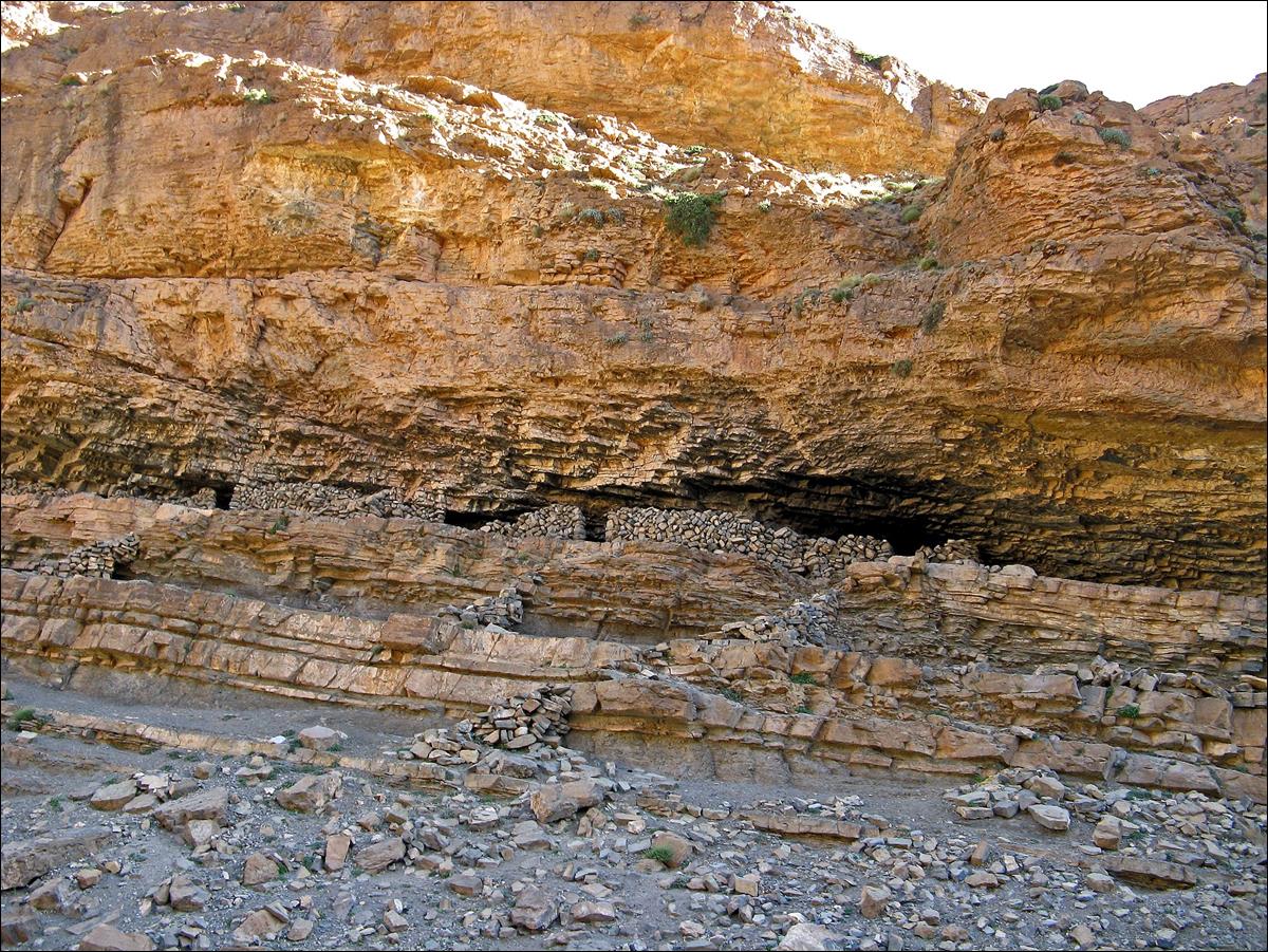
Cliff above Taghia.
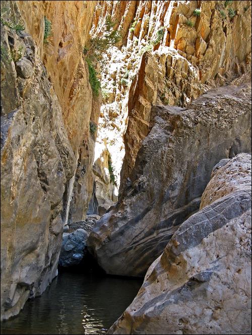
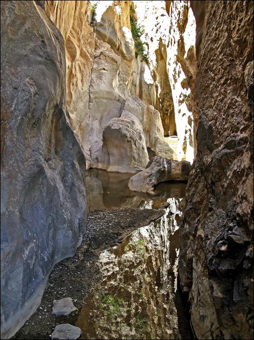
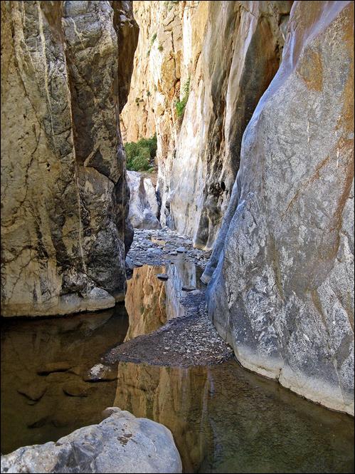
The canyon of Tafraout seen from Taghia.
In the
canyon of Tafraout.
|
|
|
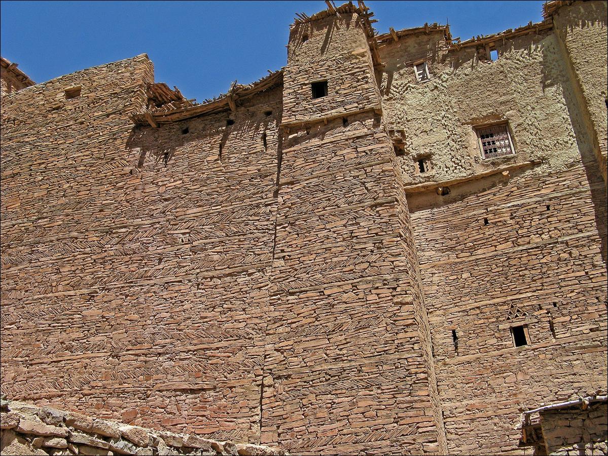
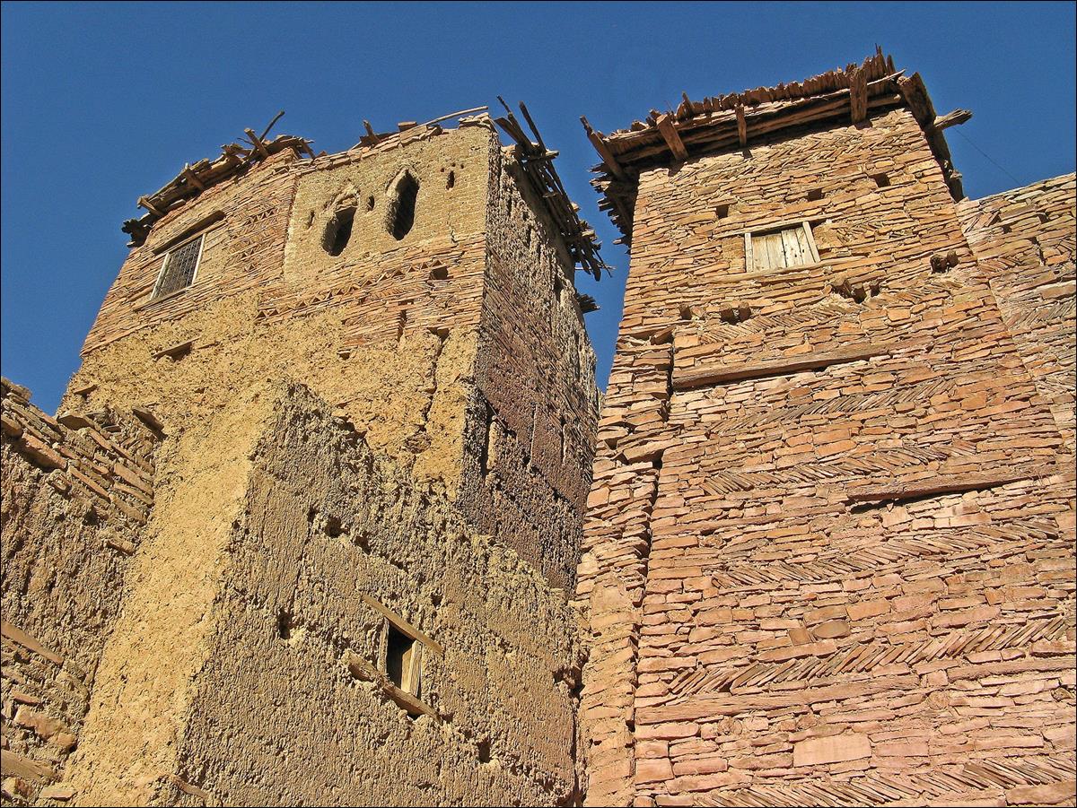
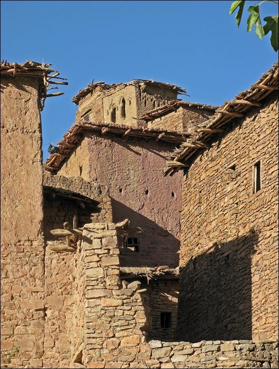
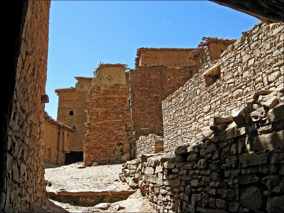
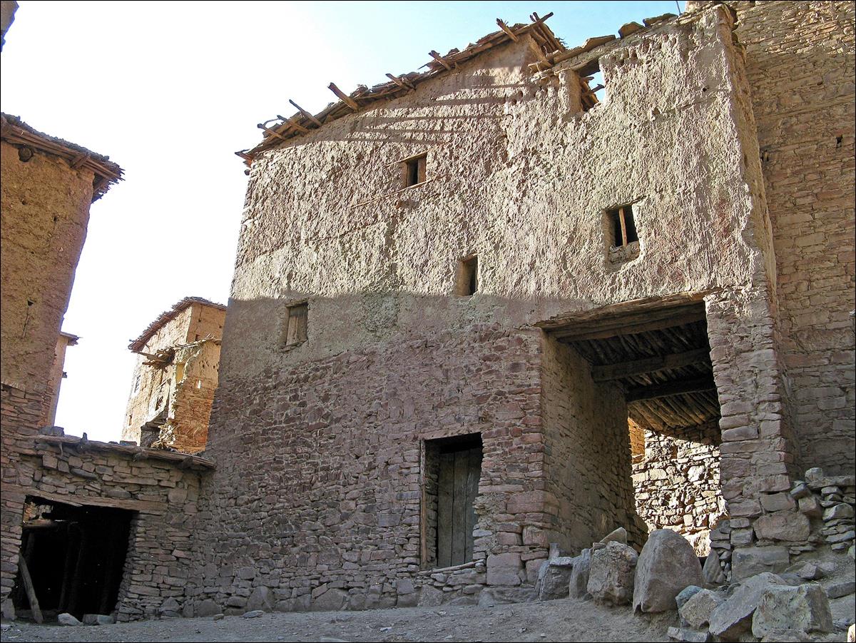
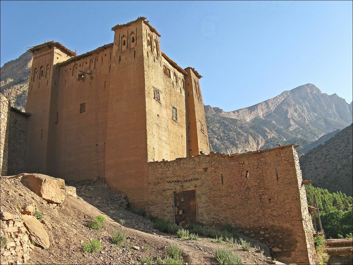
|
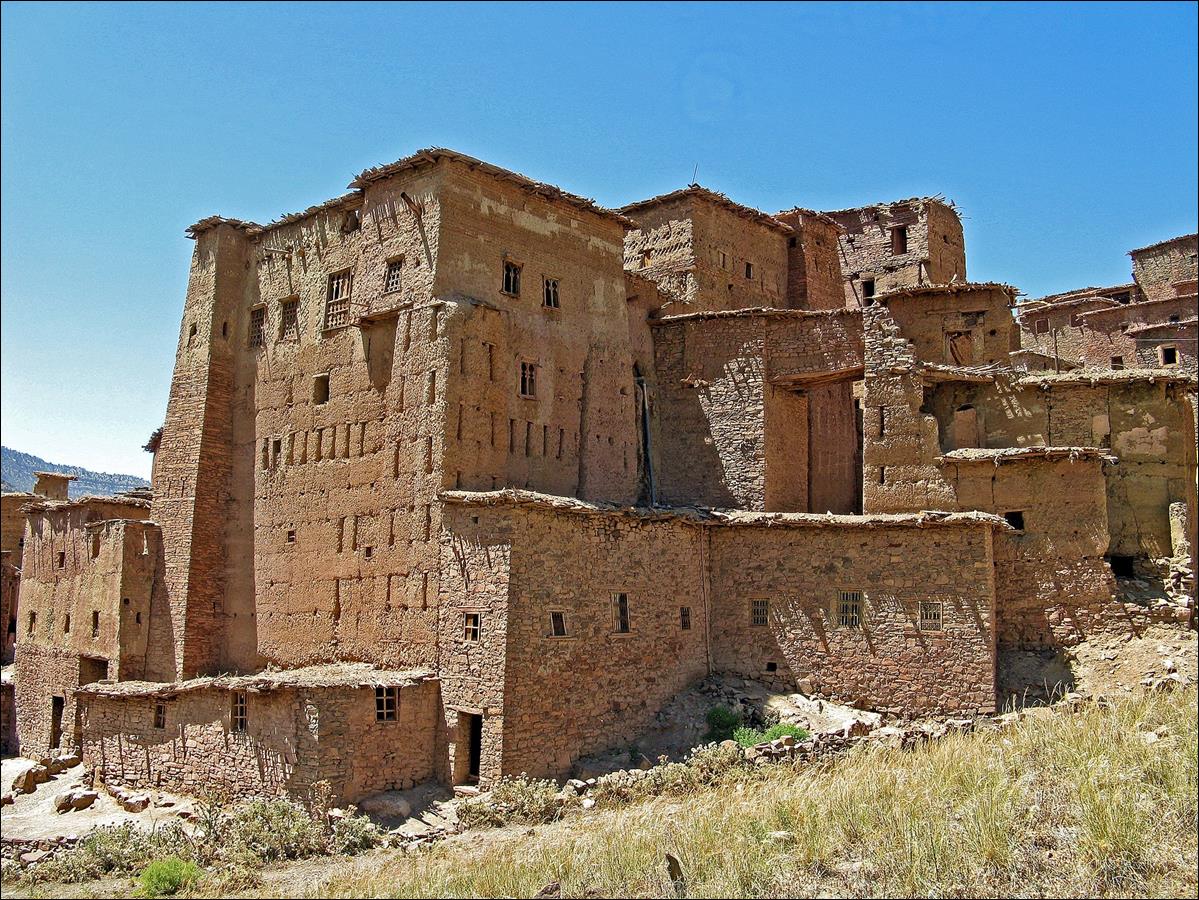
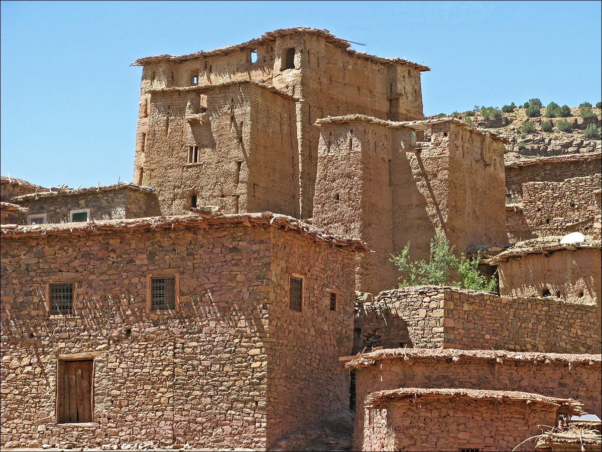
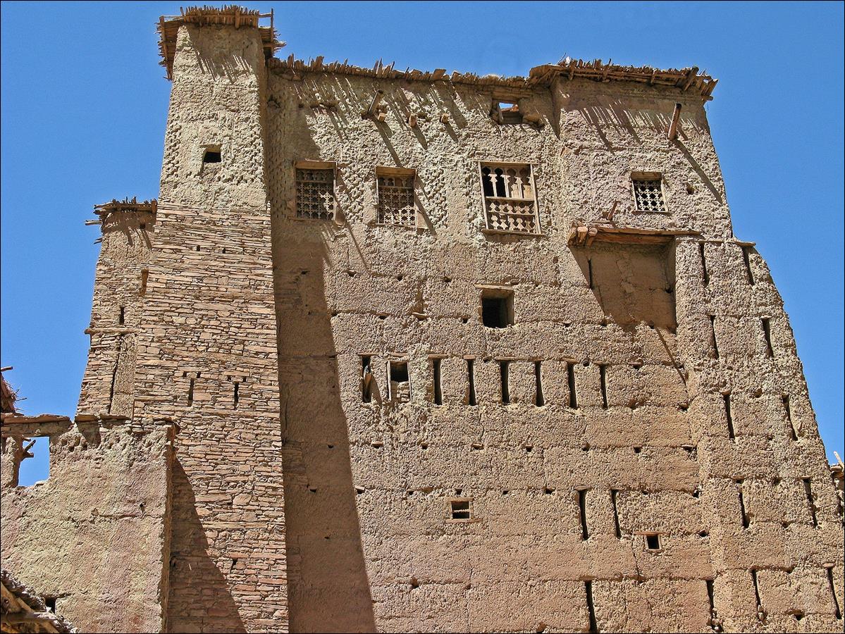
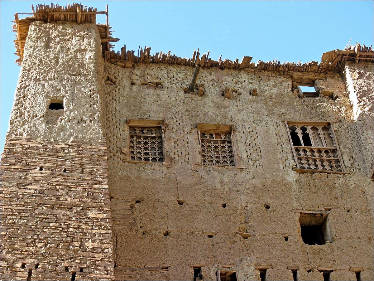
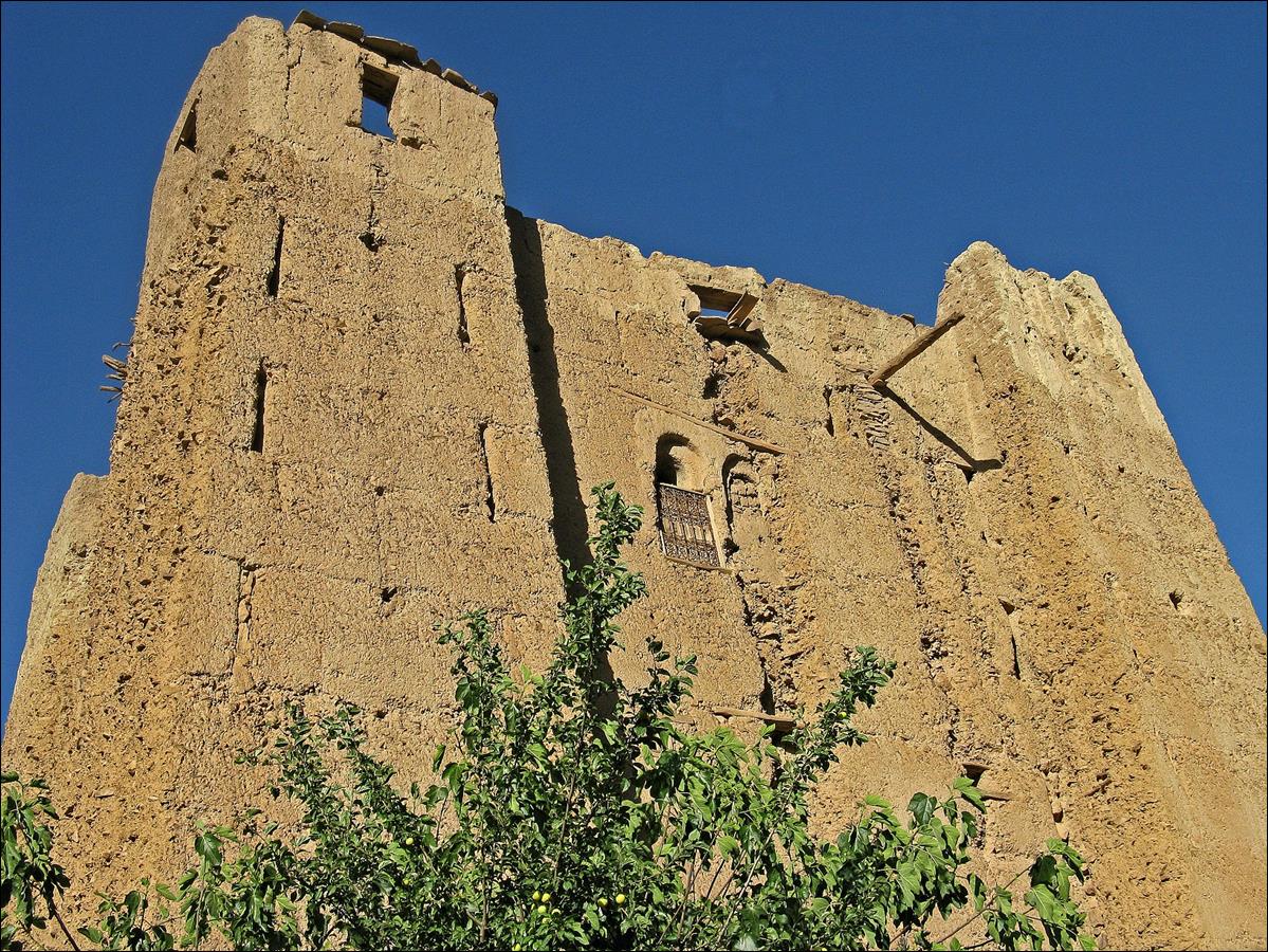
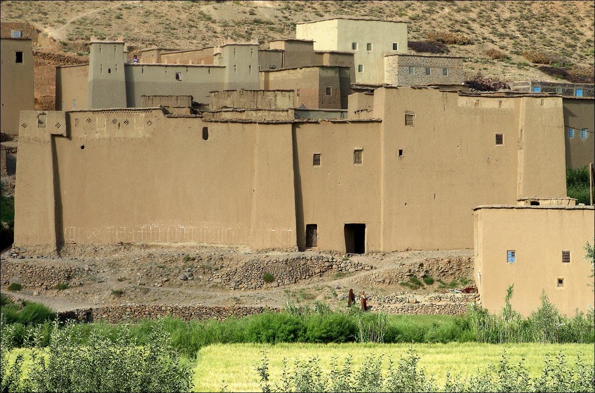
Kasbahs and
granaries in Agoudin.
|
|
|
June 20: Agoudin - Taghia (again) - Tizi Timghazine
- Assif Tafraout - Aqqa-n-Tarzilmine
From Agoudin I returned to Taghia to
cross Jebel Timghazine at Tizi Timghazine
(pass).
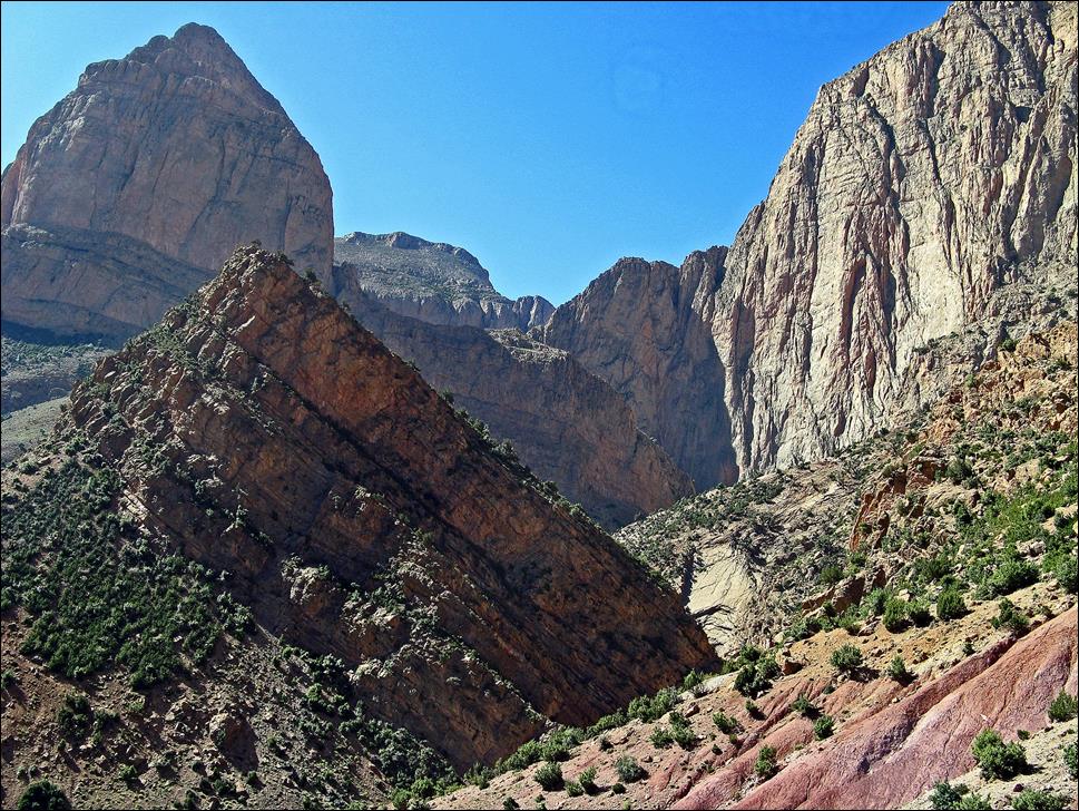
The cirque
of Taghia seen at the beginning of the ascent toward
Tizi Timghazine.
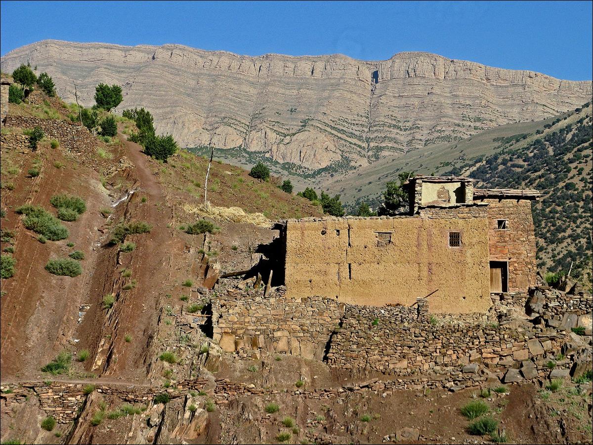
The village
of Toughed seen from further up on the trail to Tizi Timghazine.
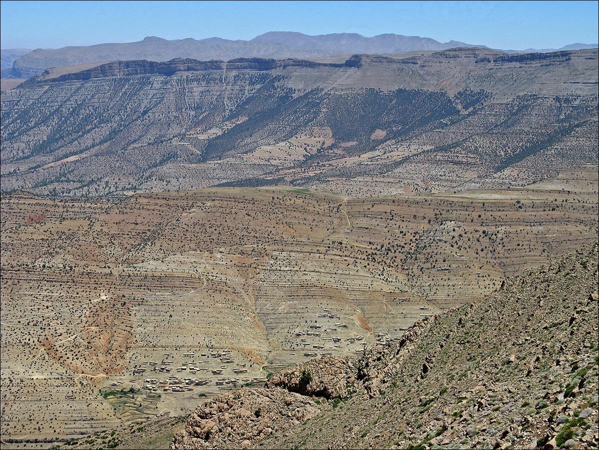
Views over
Aqqa-n-Toughed toward Zawyat Ahencal
from Tizi Timghazine.
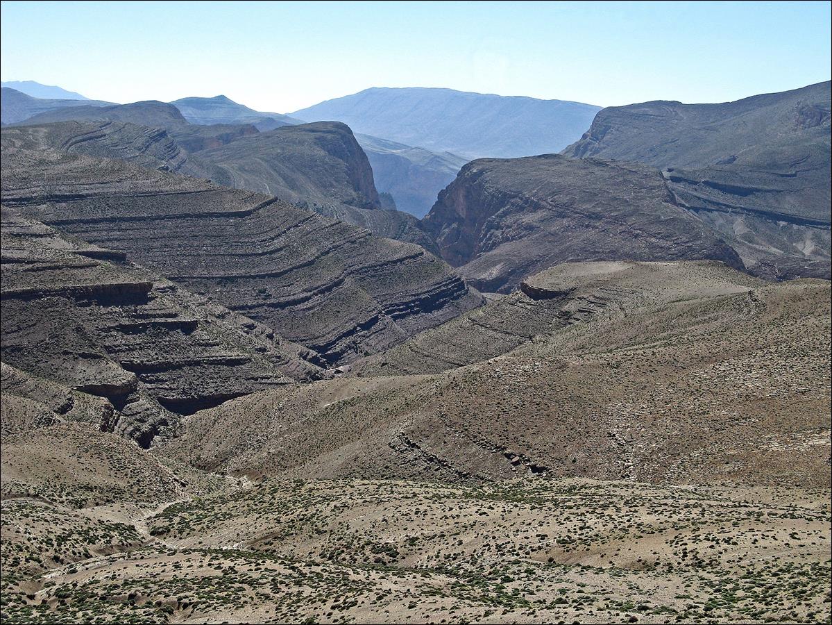
View over
the valley of Assif Tafraout from TiziTimghazine.
The low point in the middle of the ridge on the opposite side of the valley is
the entry point into the drainage of Aqqa-n-Tarzilmine
that later becomes the Oussikis river.
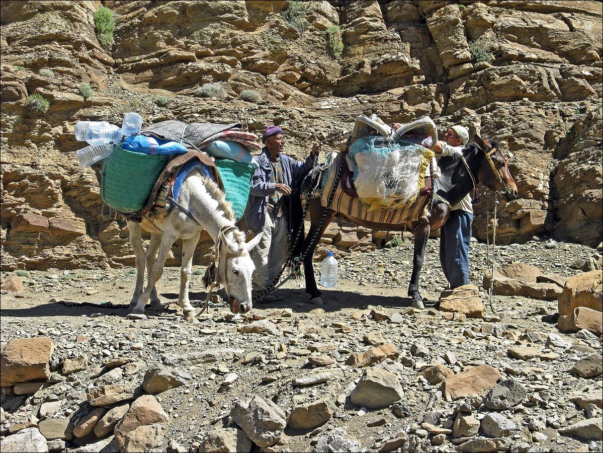
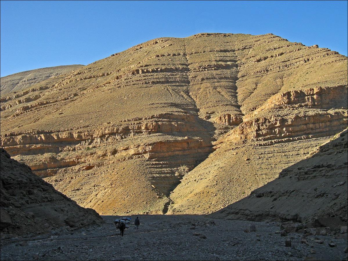
My two mules
at the bottom of Assif Tafraout valley.
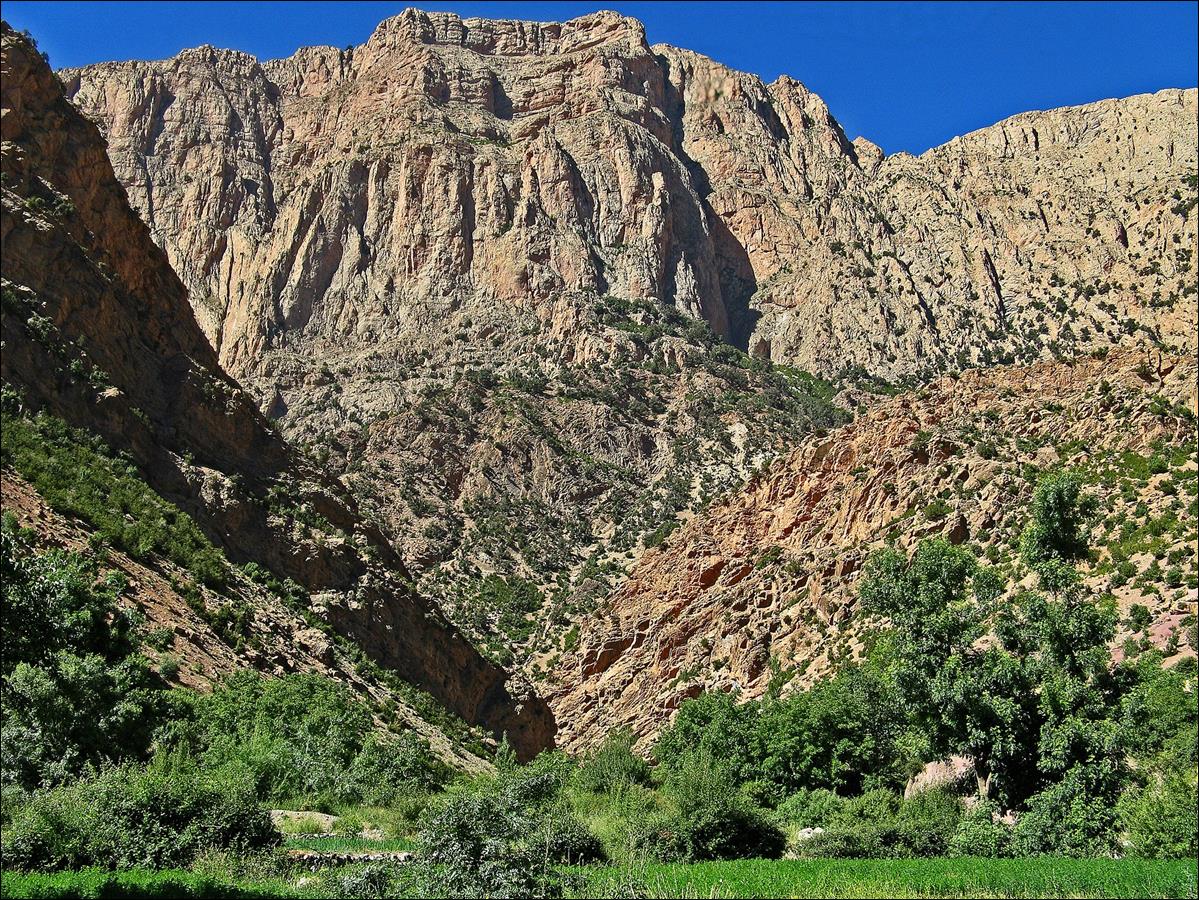
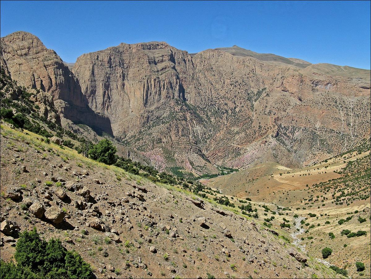
The canyon
of Assif Tafraout heading toward Taghia,
seen from the ridge before the descent into Aqqa-n-Tarzilmine.
June 21: Aqqa-n-Tarzilmine to Oussikis
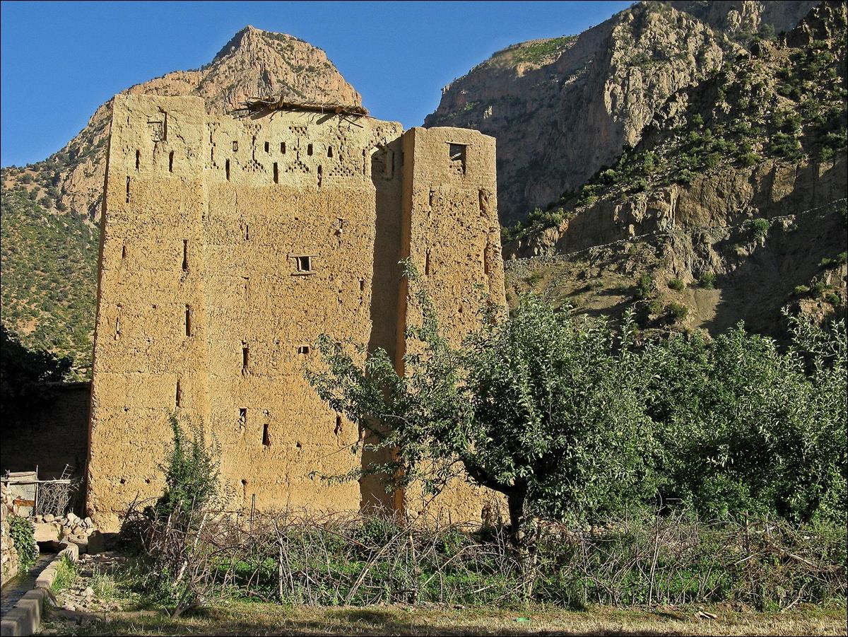
In Aqqa-n-Tarzilmine in the early morning.
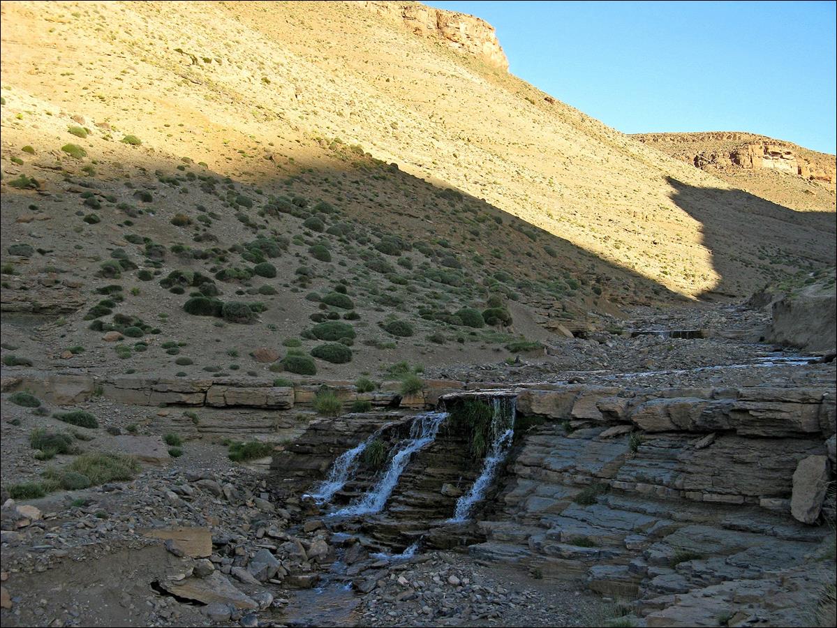
Azib in
Aqqa-n-Tarzilmine.
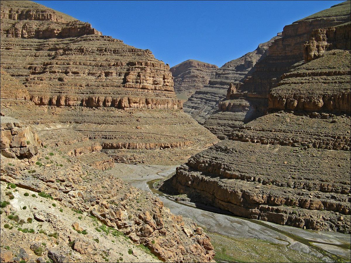
Further down
in the gorge of Assif Oussikis.
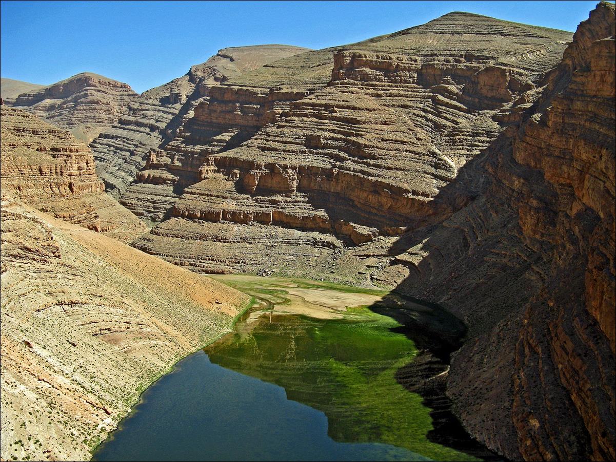
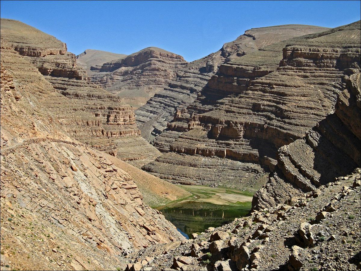
The
artificial lake above the villages of Oussikis.
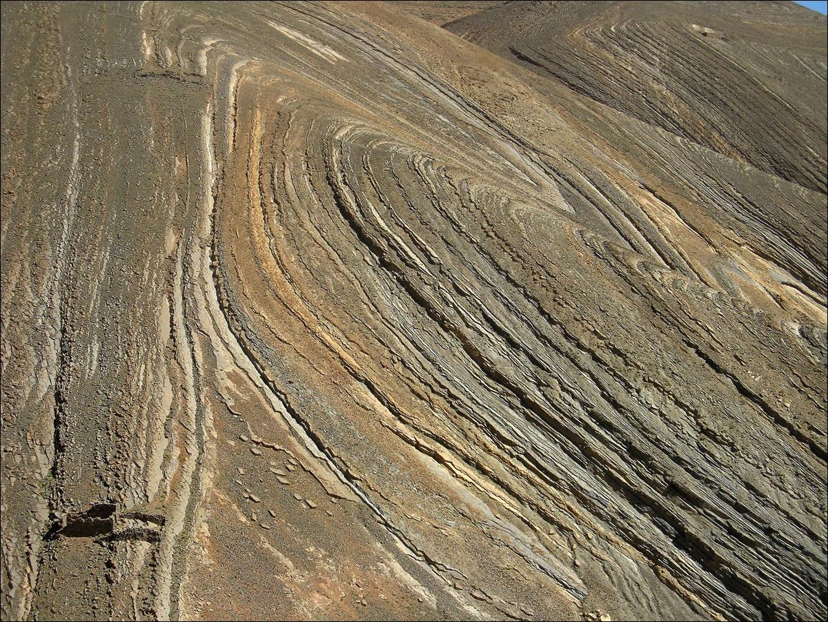
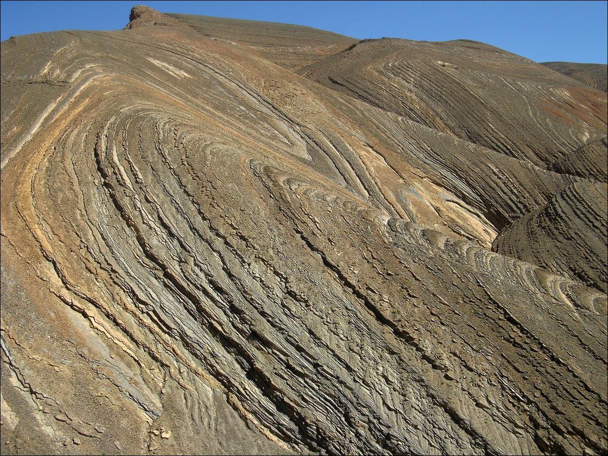
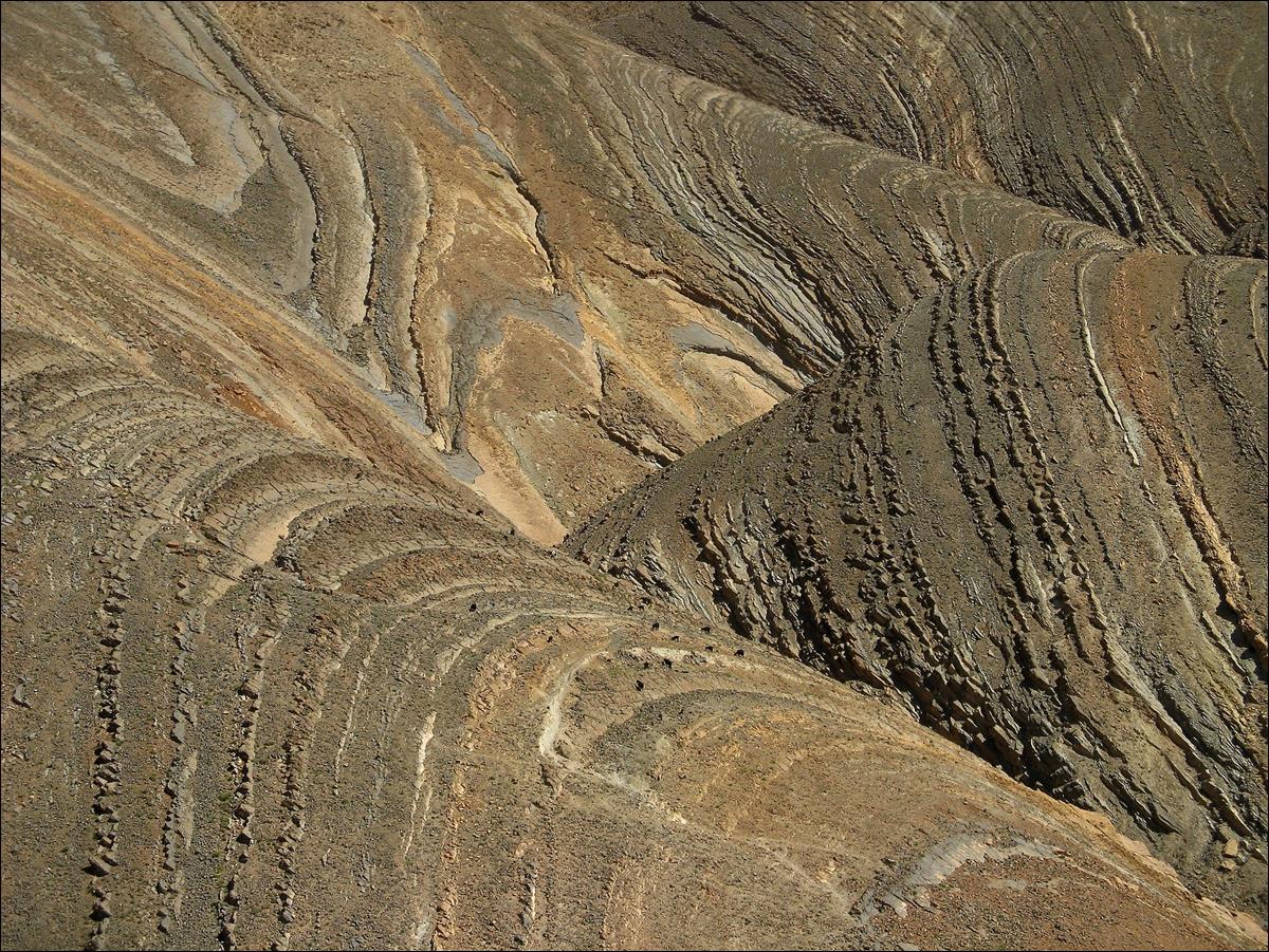
Interesting
landscape above the villages of Oussikis (note the
ruins in the first photo and the goats or sheep in the third photo).
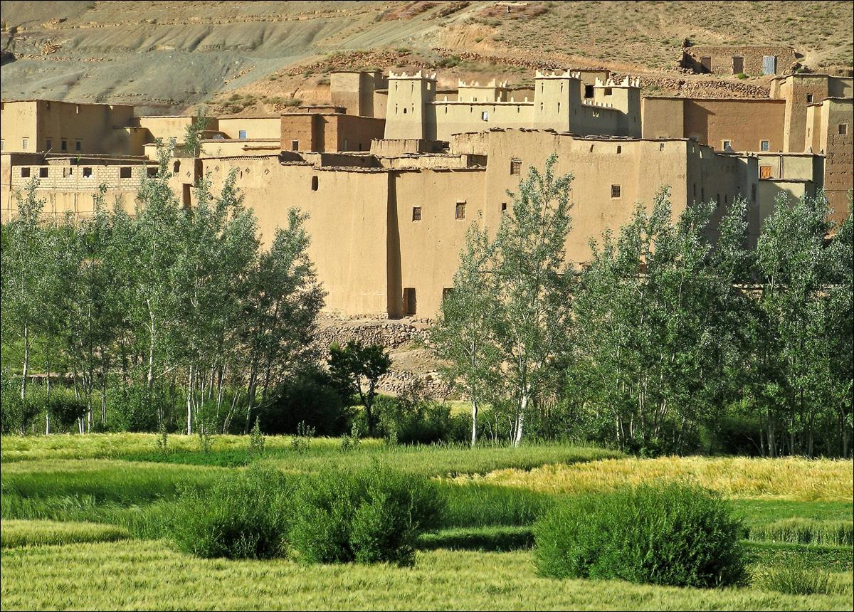
Tabouidant, one of the villages of Oussikis.
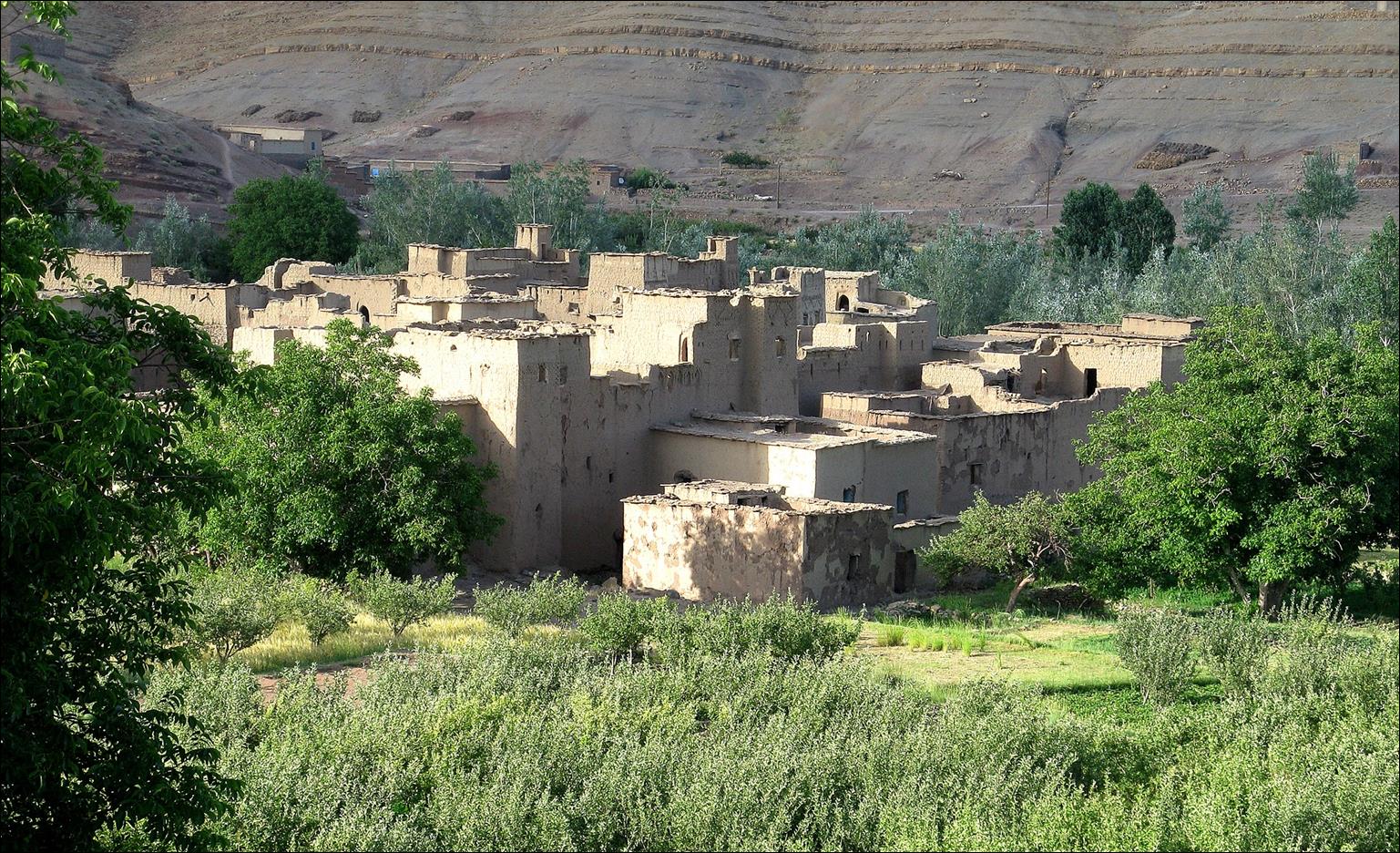
Another village of Oussikis.
![]()
Return
to main tabant-mgoun-imejdag-taghia-oussikis webpage