Central
Asia 2004: Fann
Mountain Trek
![]()
Return to Central
Asia 2004 main webpage
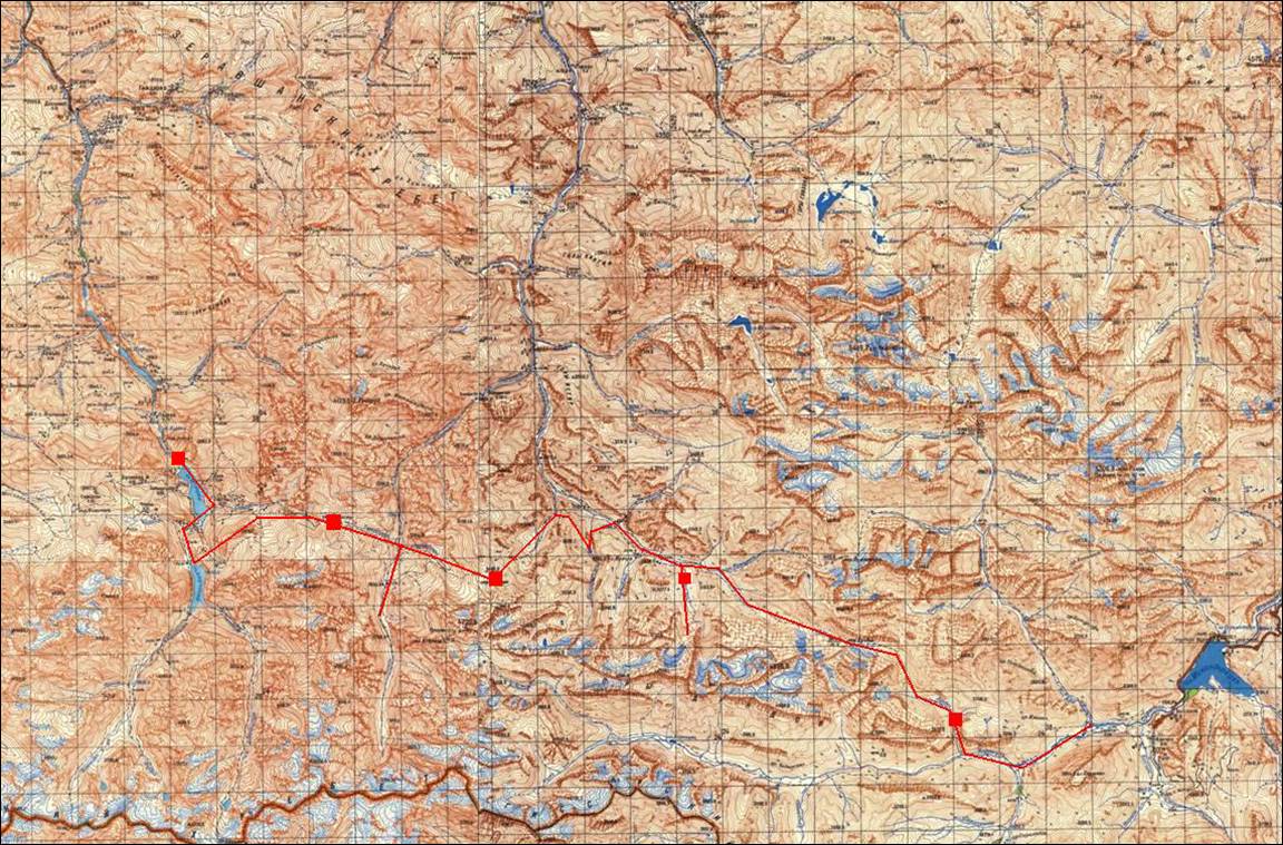
Map (itinerary in red). Each full square covers a 2km x
2km area.
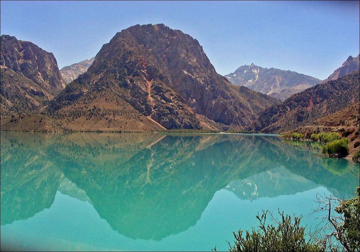
Lake Iskander reachable by car, just before the start of
the trek.
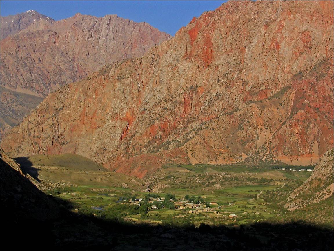
Sarytag village.
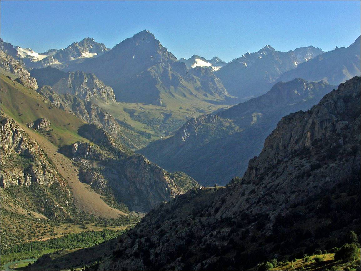
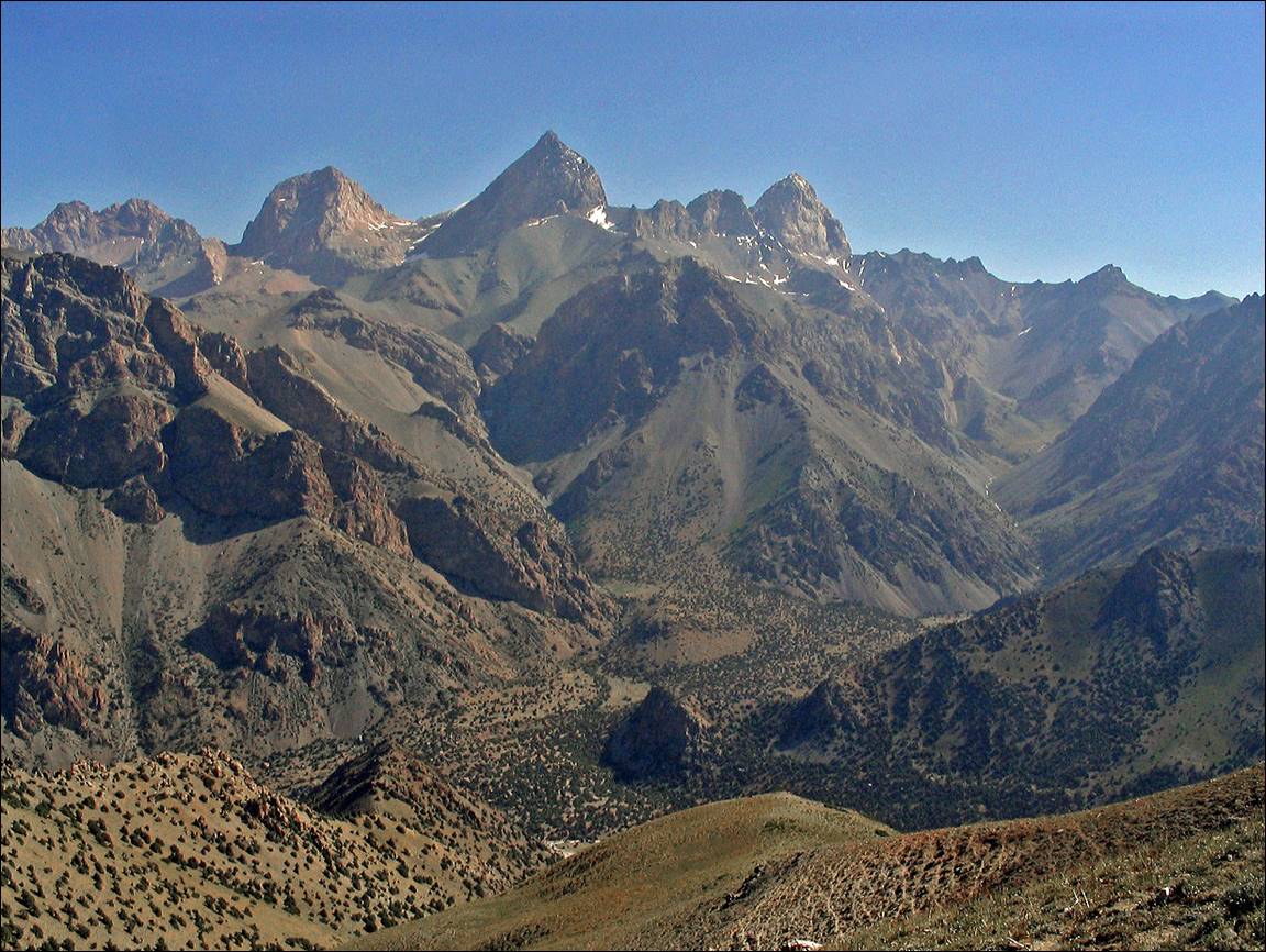
Southeastern
(Gissarski) range.
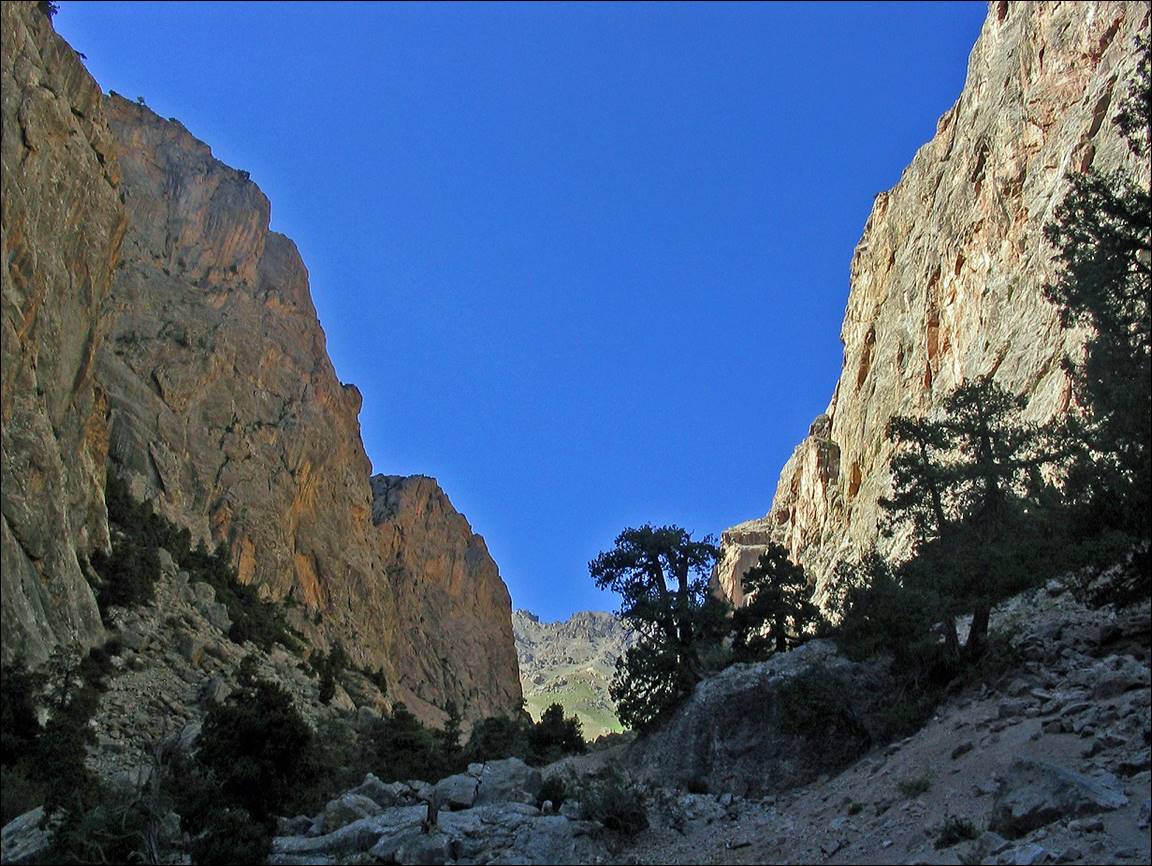
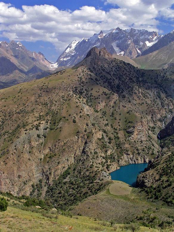
Canyon
of Dukdon river leading to Dukdon
pass.
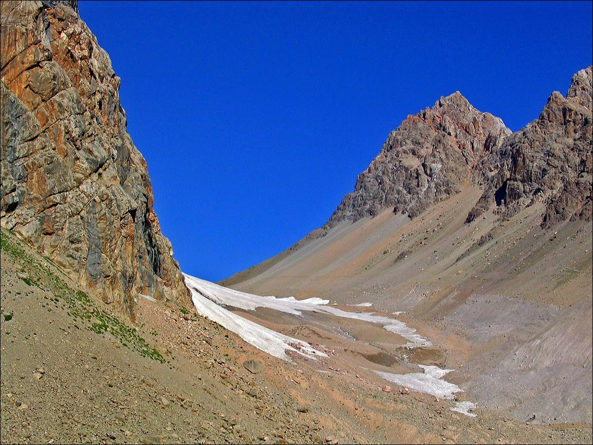
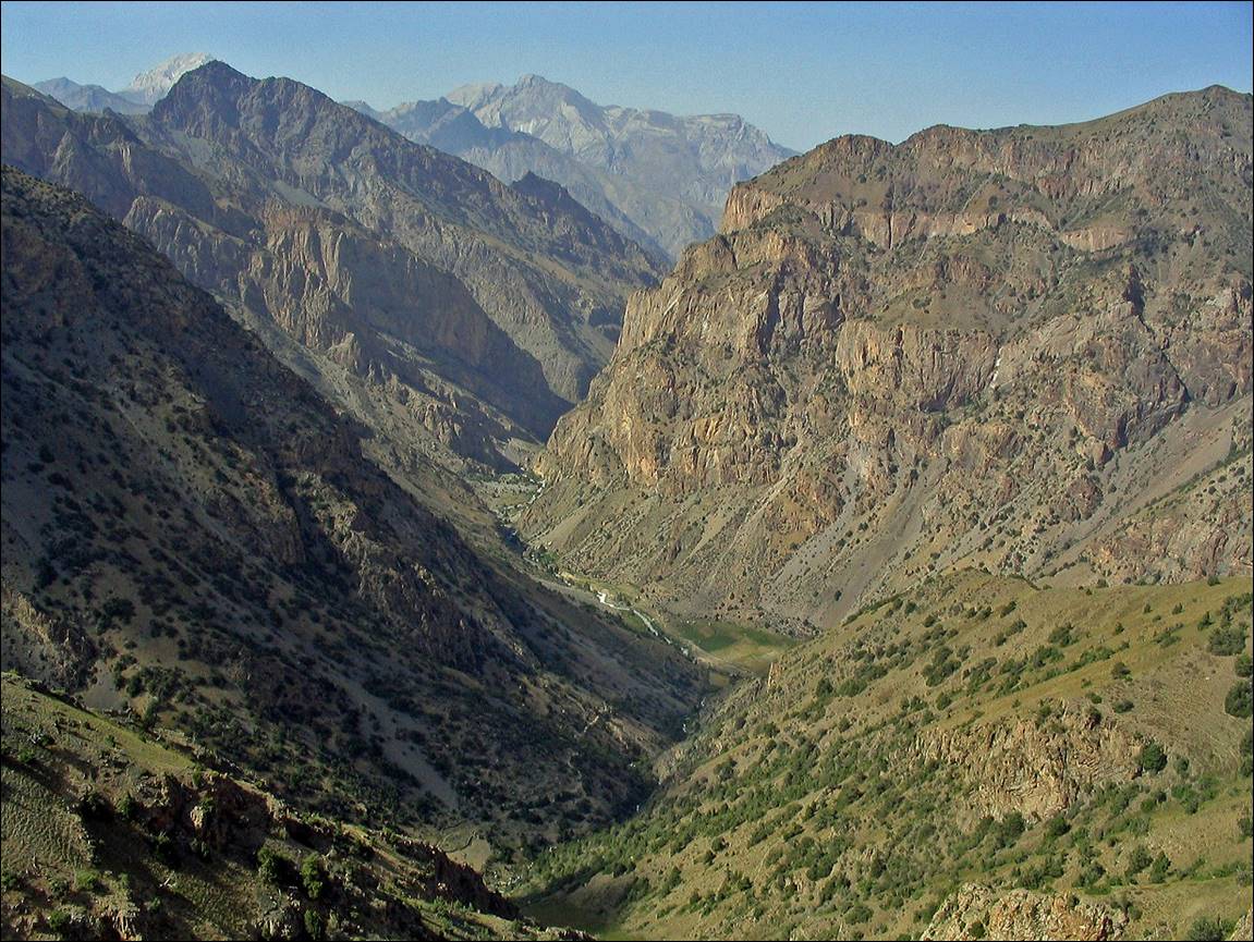
Toward
Dukdon pass (on its eastern side).
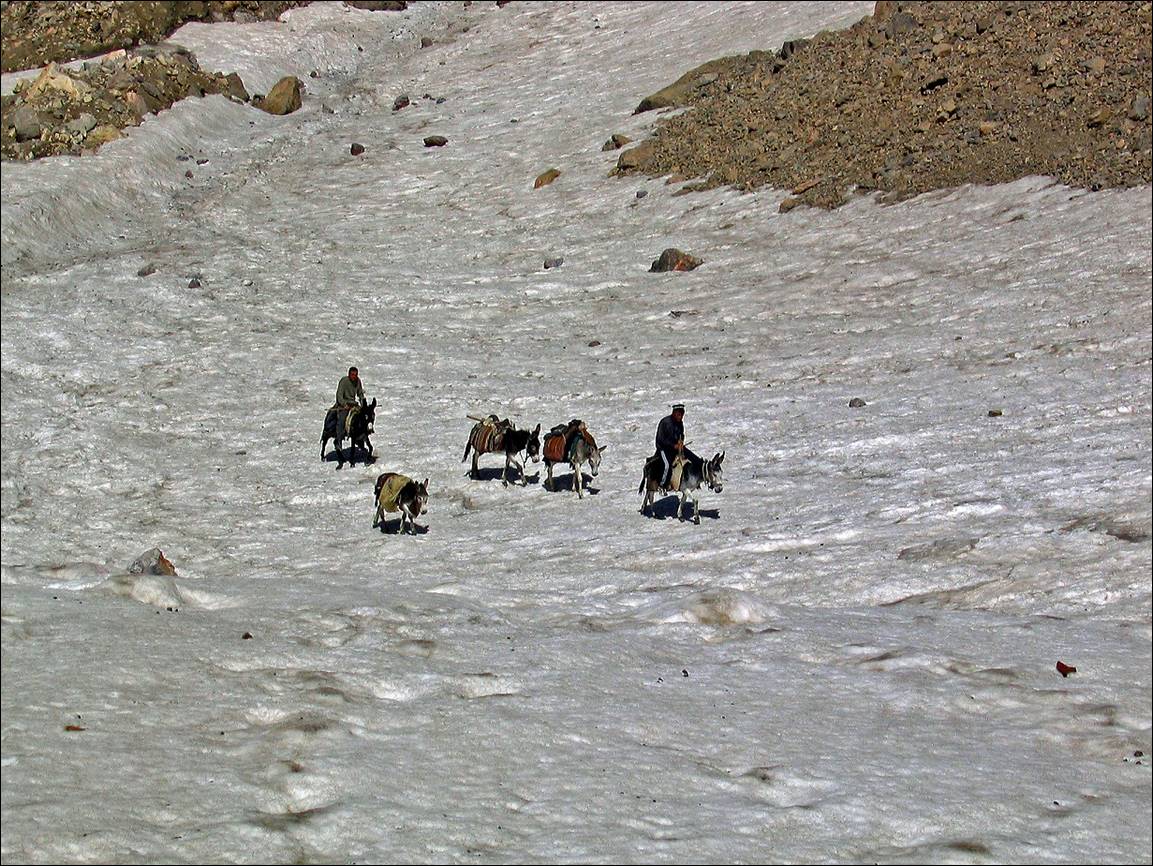
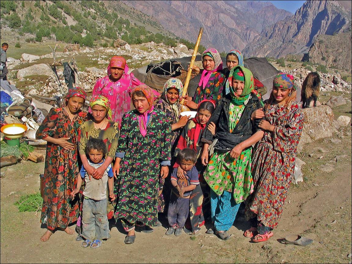
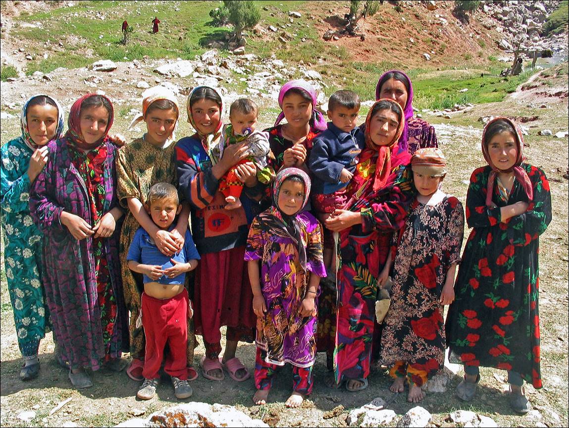
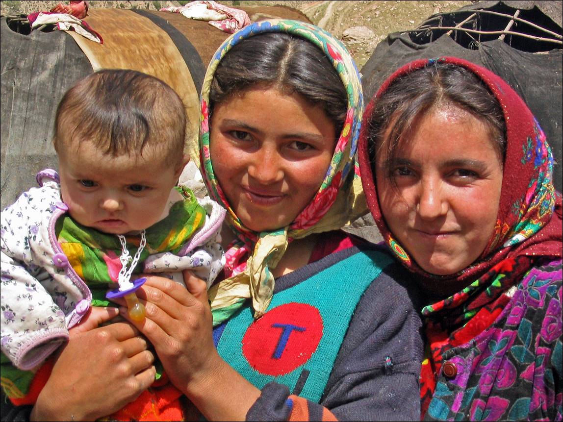
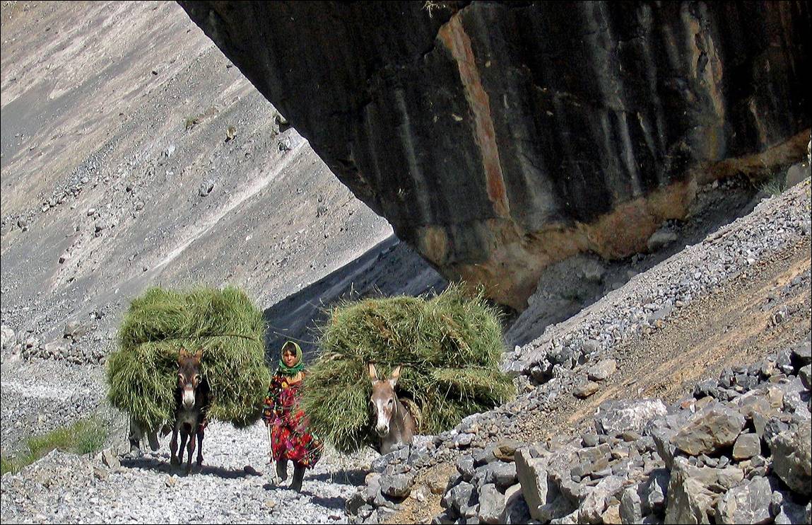
Tajiks
reaching Dukdon pass from the west.
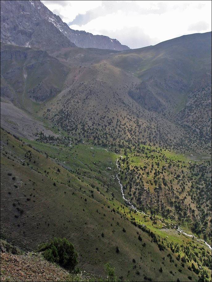
Cirque
of Sarykhodan river.
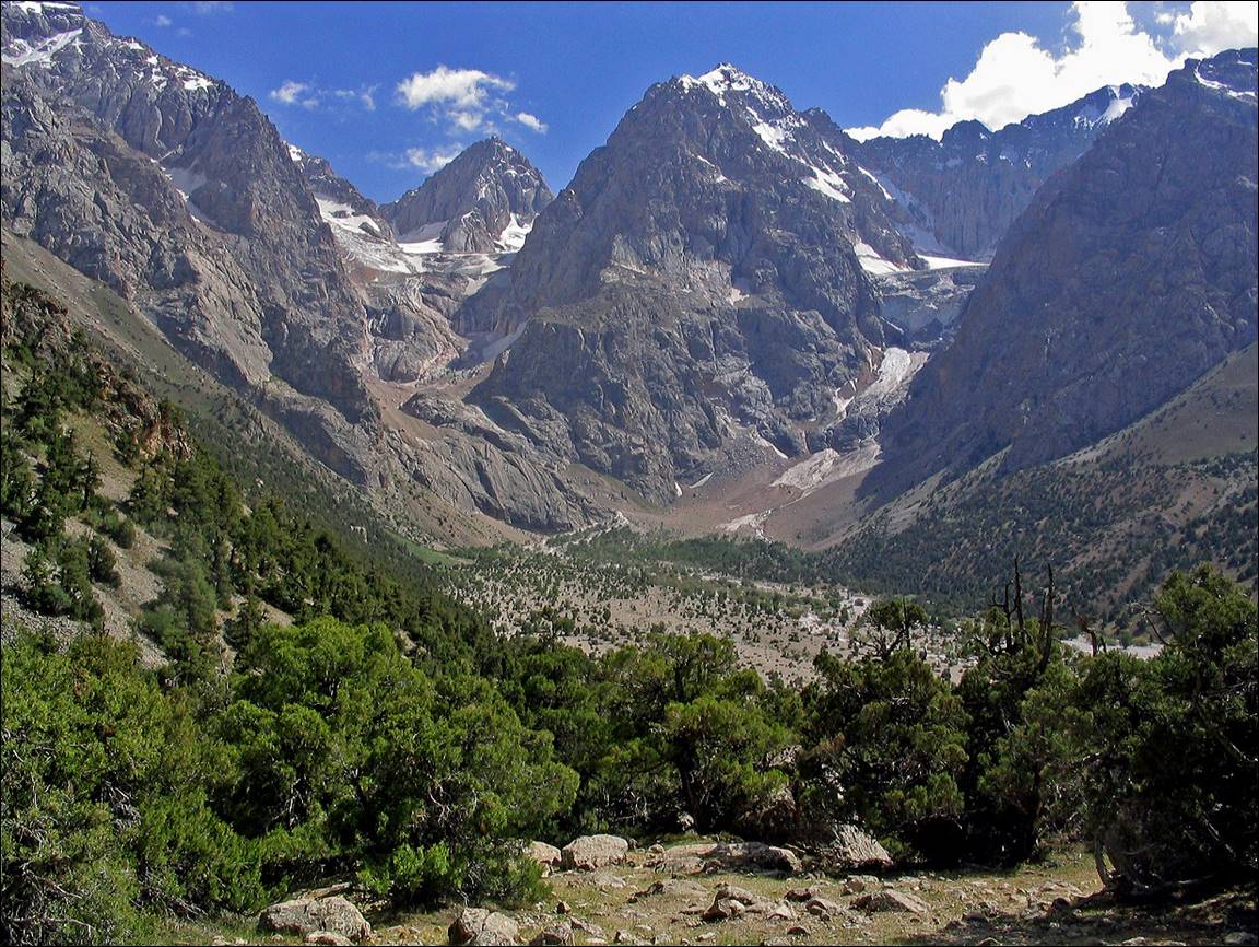
View
in the opposite direction (peak Moskva, 5046m).
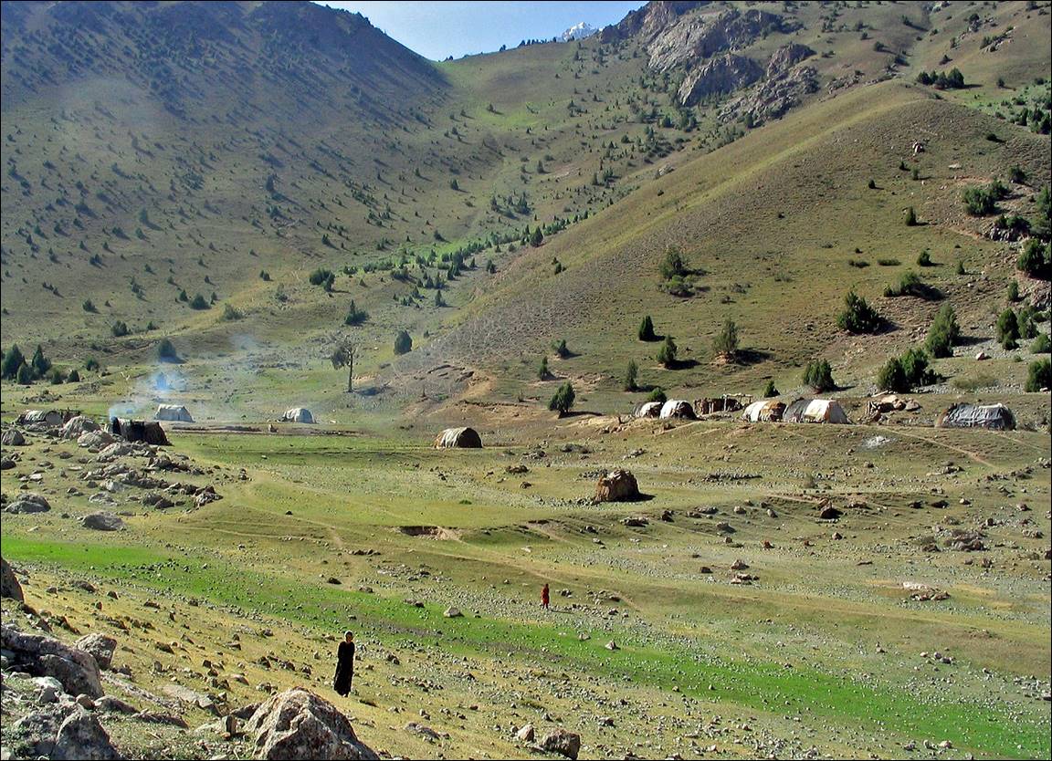
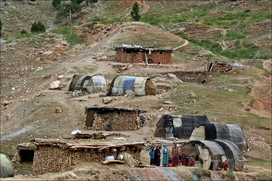
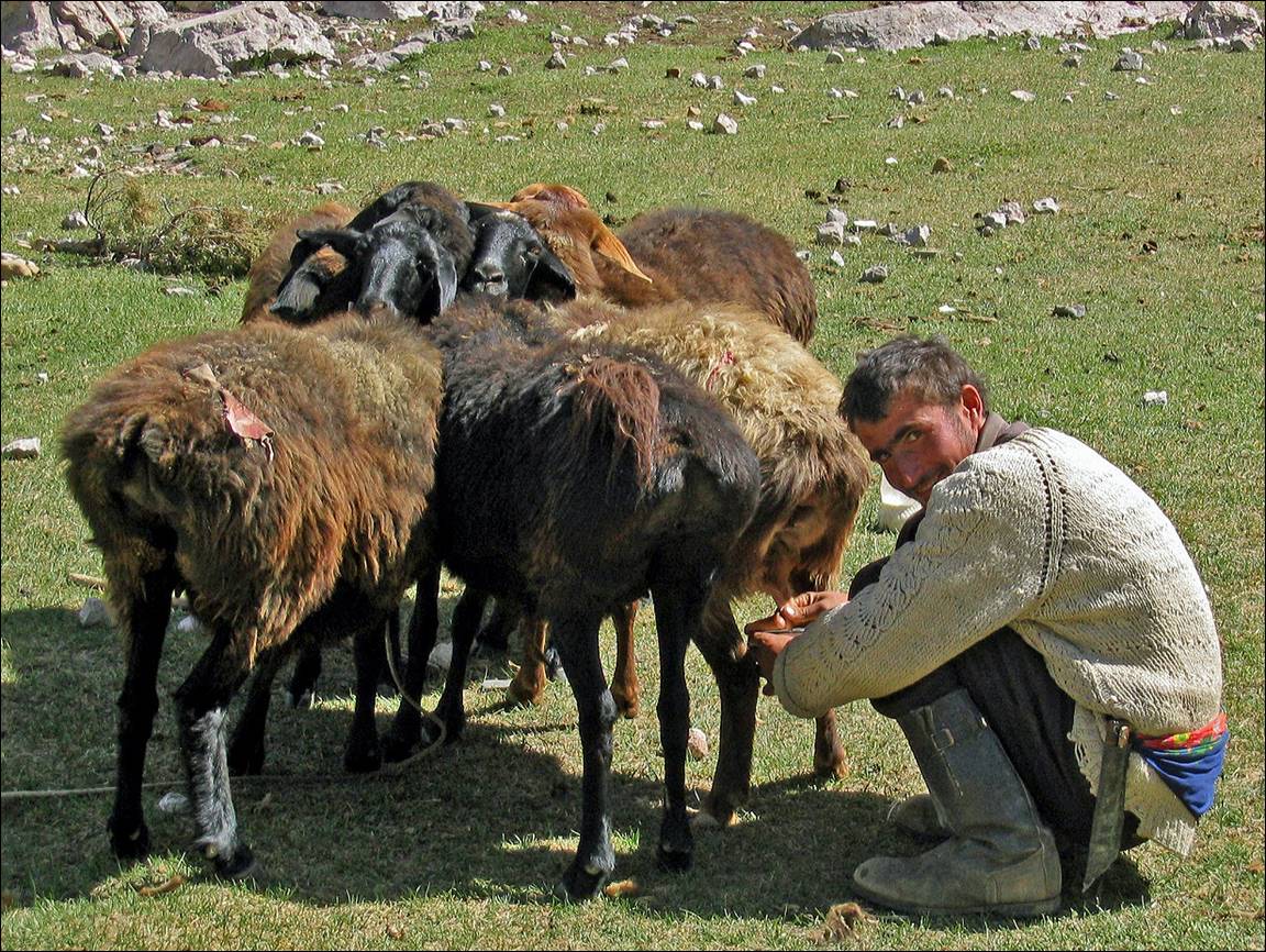
Kosh
along Archamaidan river.
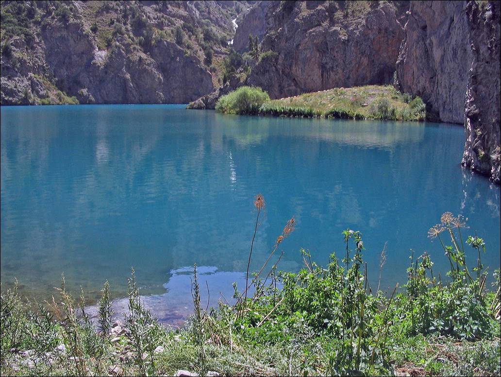
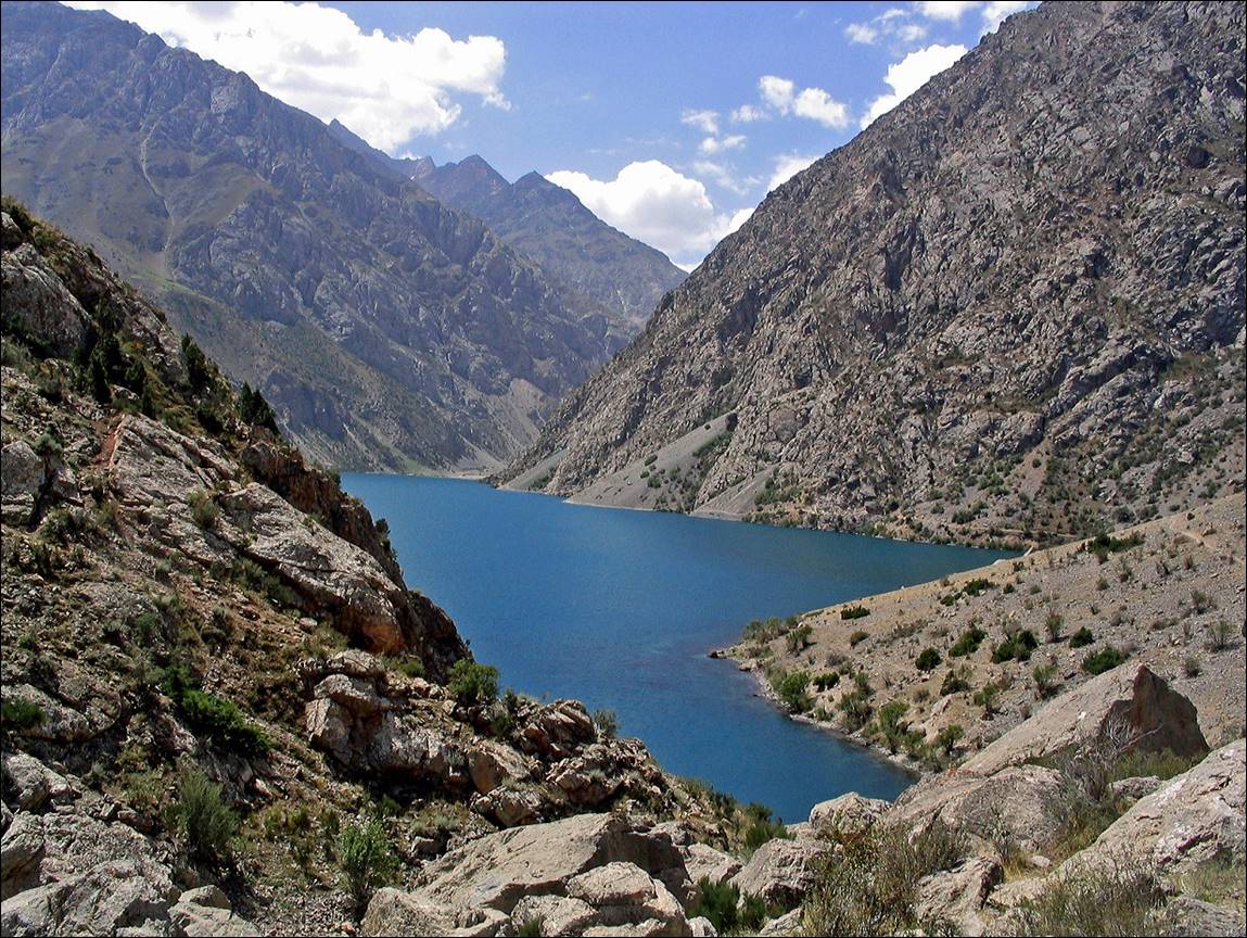
Left:
Pshtikul lake. Right: Pshtikul
lake and Dukdon pass (in the far background).
|
|
|
Canyon
of Archamaidan river.
Munora pass (3800m).
Kosh
along Kaznok river.
Seventh
(highest) Margazor lake.
Near
Margazor lakes.
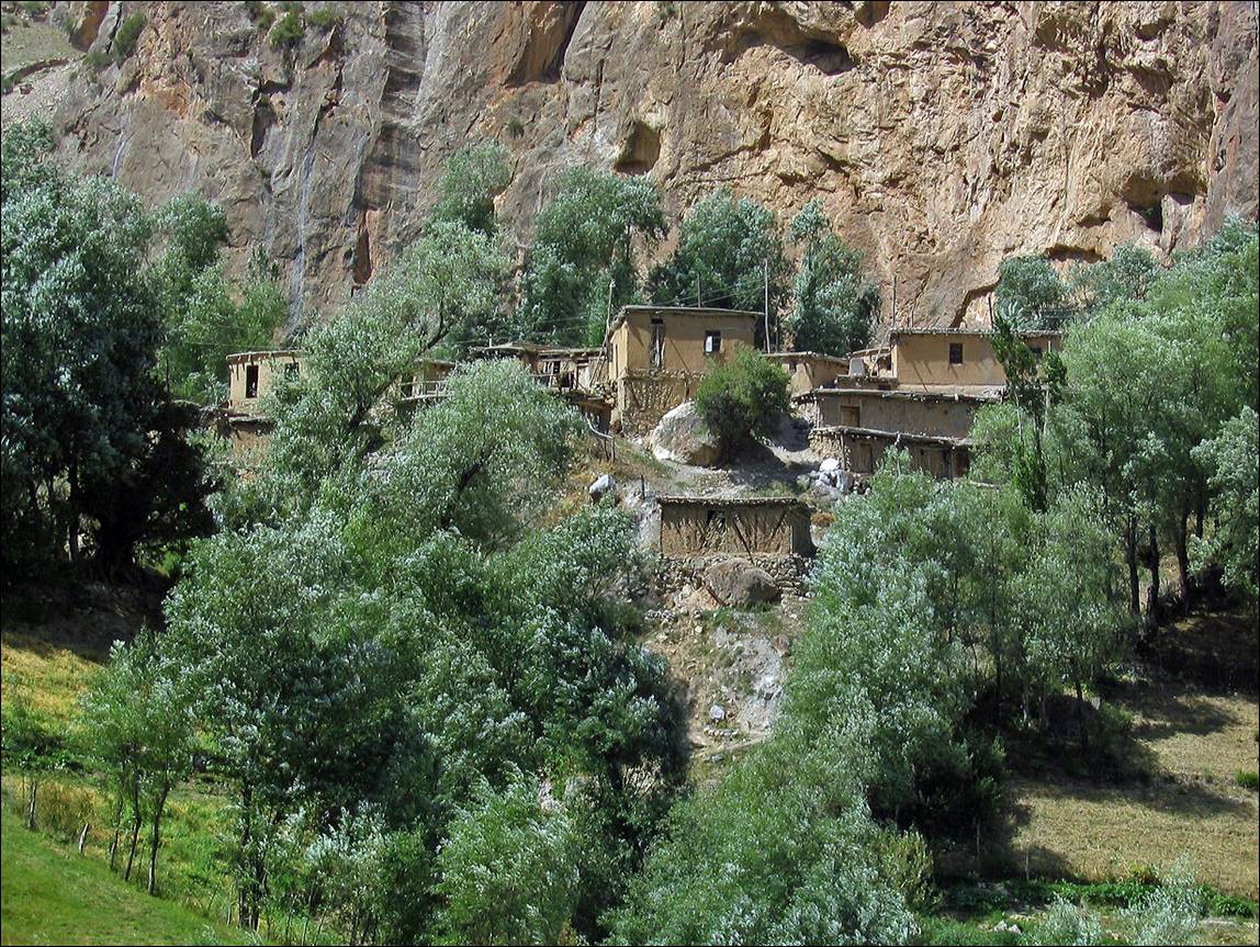
Village
below Margazor lakes.
![]()
Return to Central
Asia 2004 main webpage