Central
Asia 2004: Kichi-Alay trek
![]()
Return to Central
Asia 2004 main webpage
Kichi-Alay
is a mountain range located south of the city of Osh and north of Peak Lenin.
This 4-day trek, which crosses this range from north to south at Kyndyk pass, offers awesome views over Peak Lenin. I did
this trek with Maksim Chubukov, a Russian living in
Tashkent.
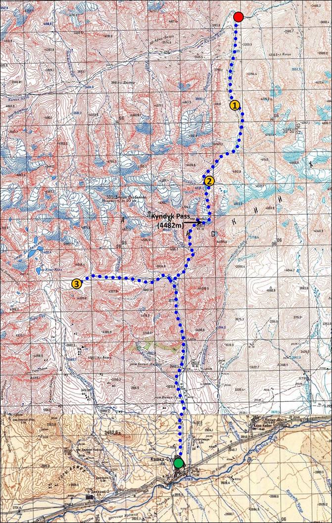
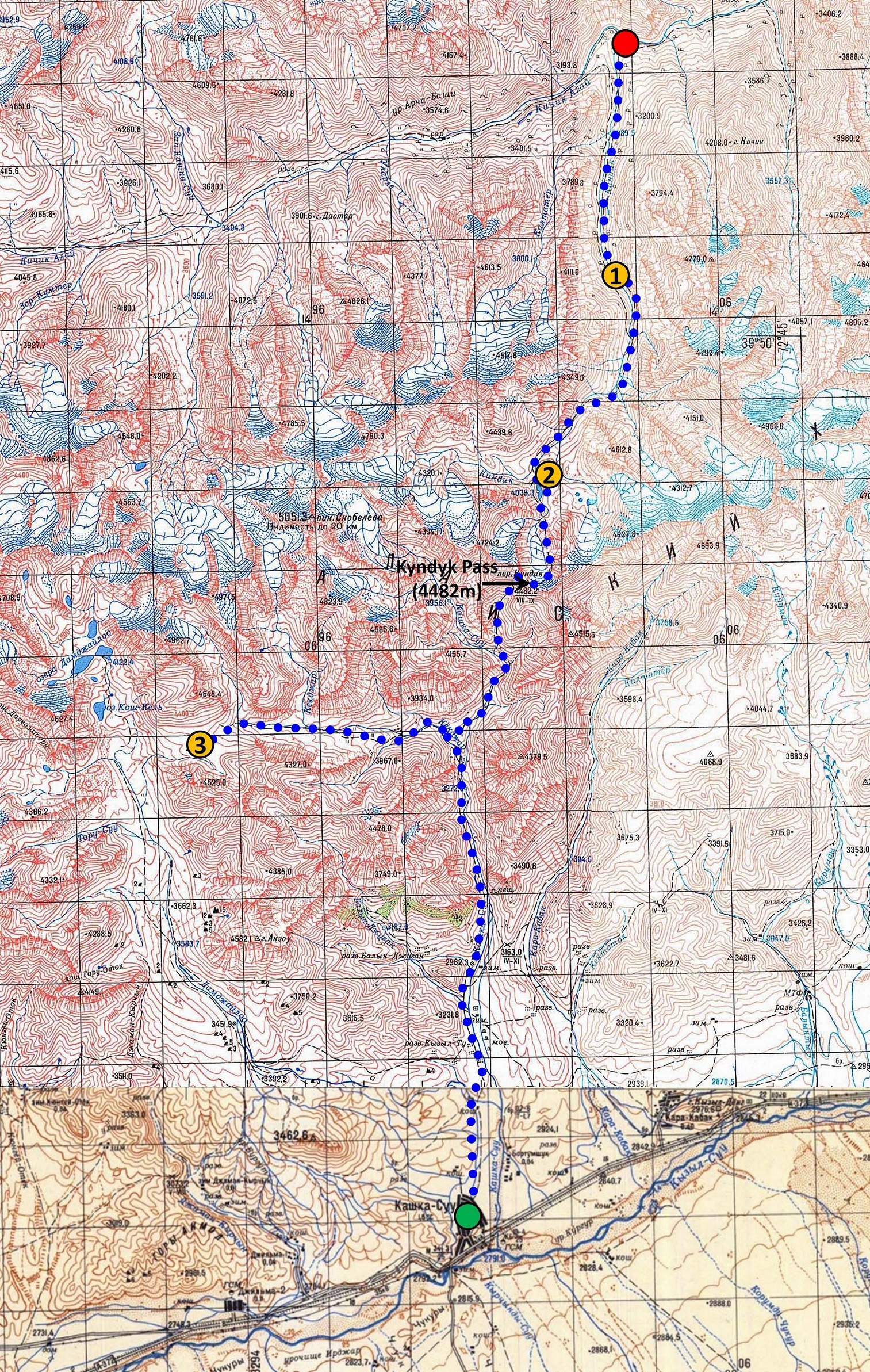
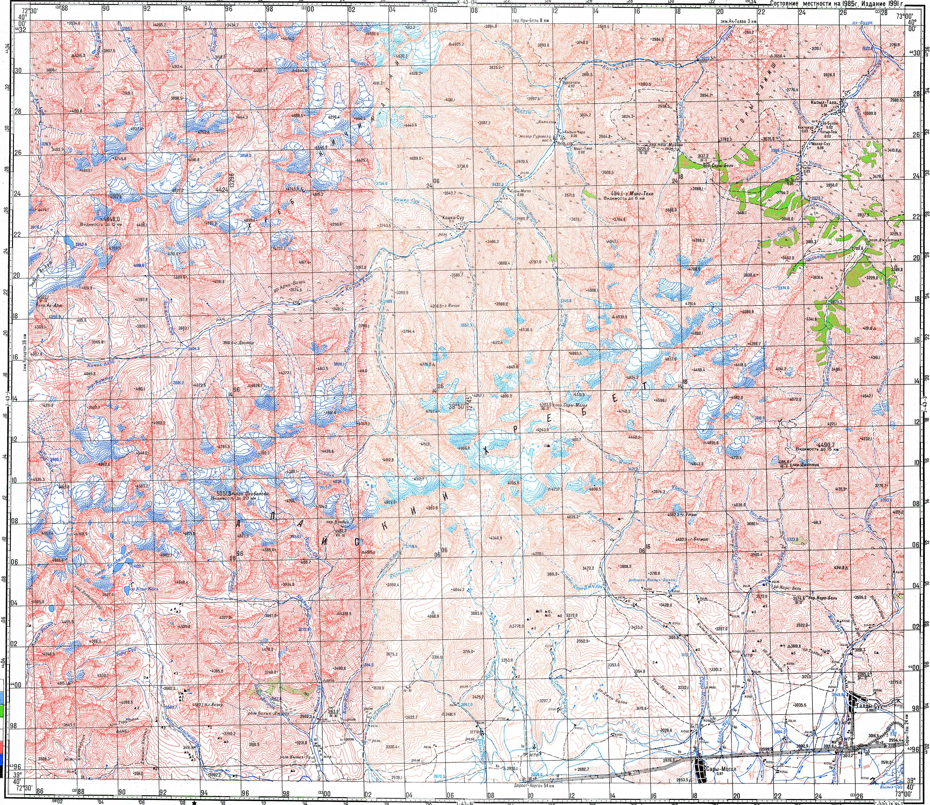
Map.
The itinerary is shown in blue dots. The large red and green dots indicate the
start and the finish (Kashkasu village) of the trek,
respectively. The numbered orange dots indicate the locations of the 3
successive camps. To see the map at a better resolution, click here.
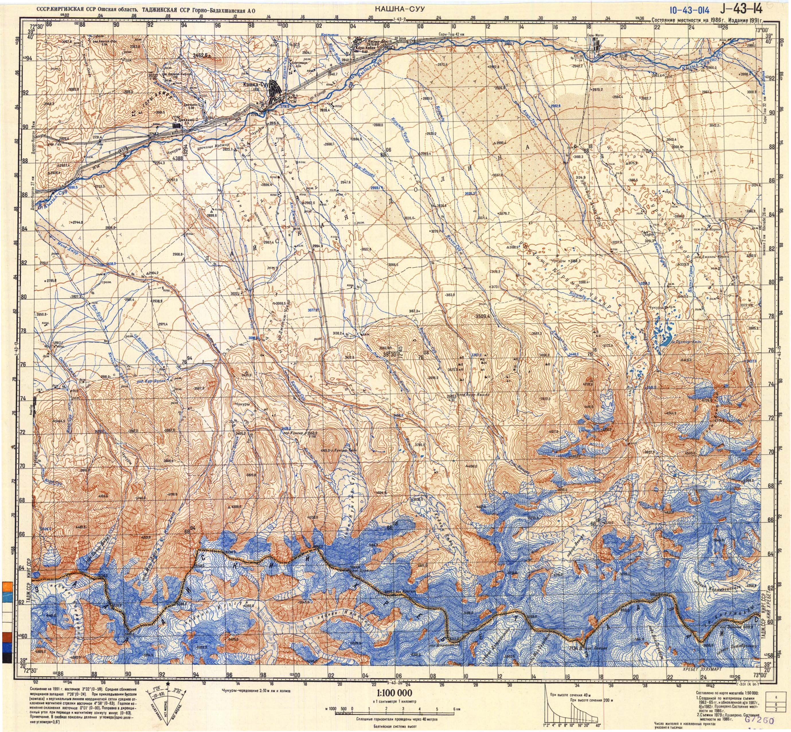
To see the two 100K map sheets that cover the trek, click here
(north) and here
(south).
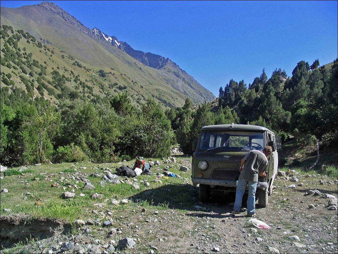
Start
of the trek at the beginning of the valley of the Kyndyk
river.
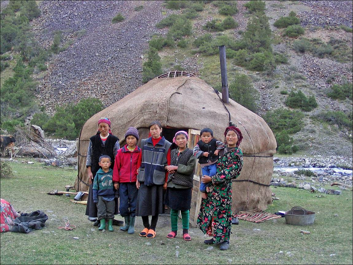
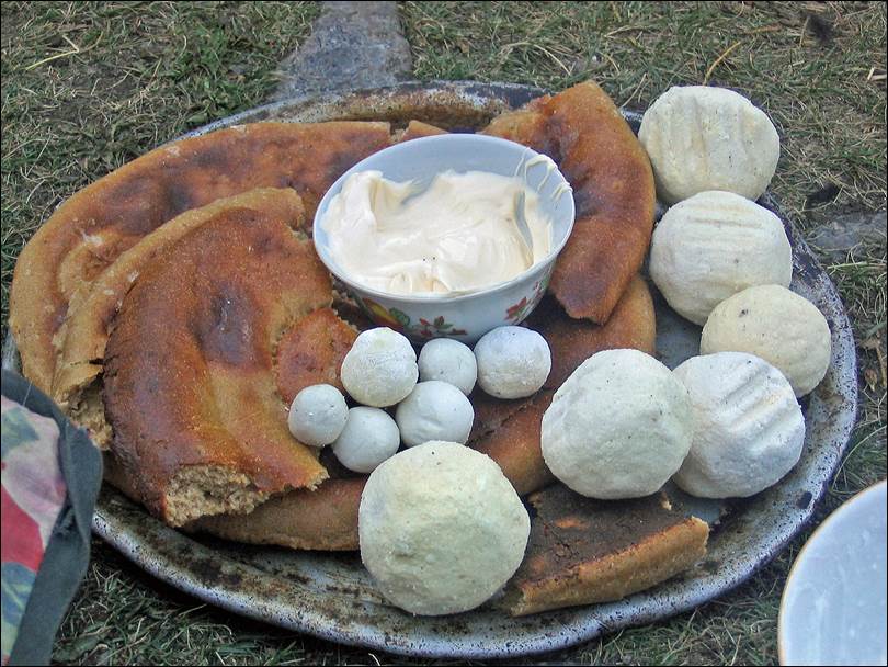
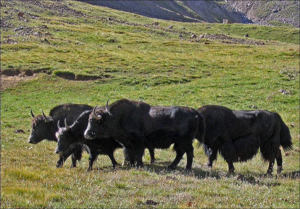
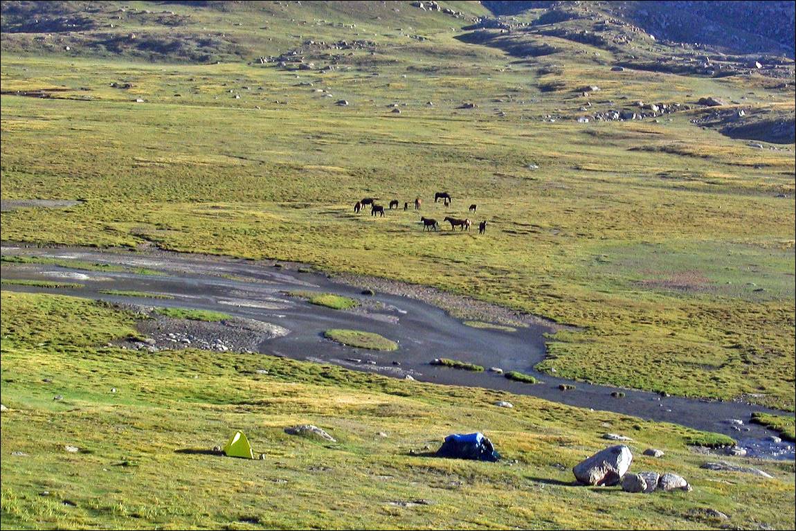
Small
settlement along the way, with yaks.
|
|
|
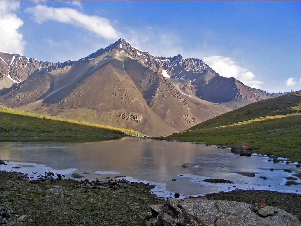
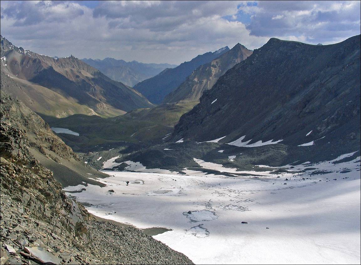
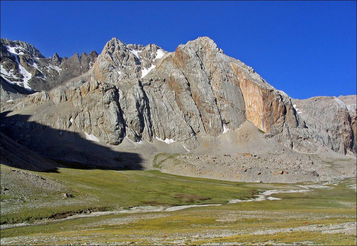
Our
camp #2 at the lake below Kyndyk pass, on the
northern side of the pass.
|
|
|

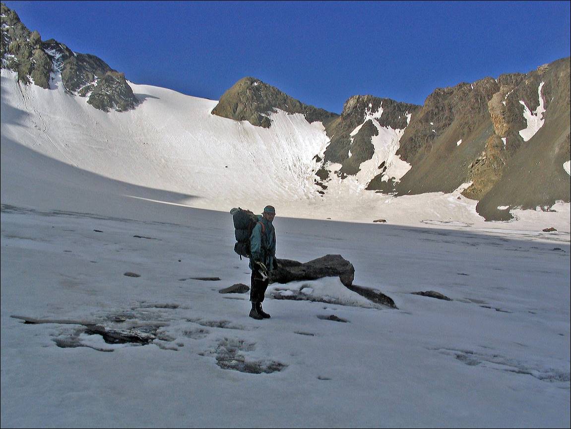
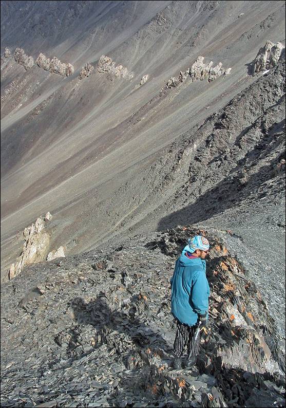
Maxim, while on our way to Kyndyk
pass.
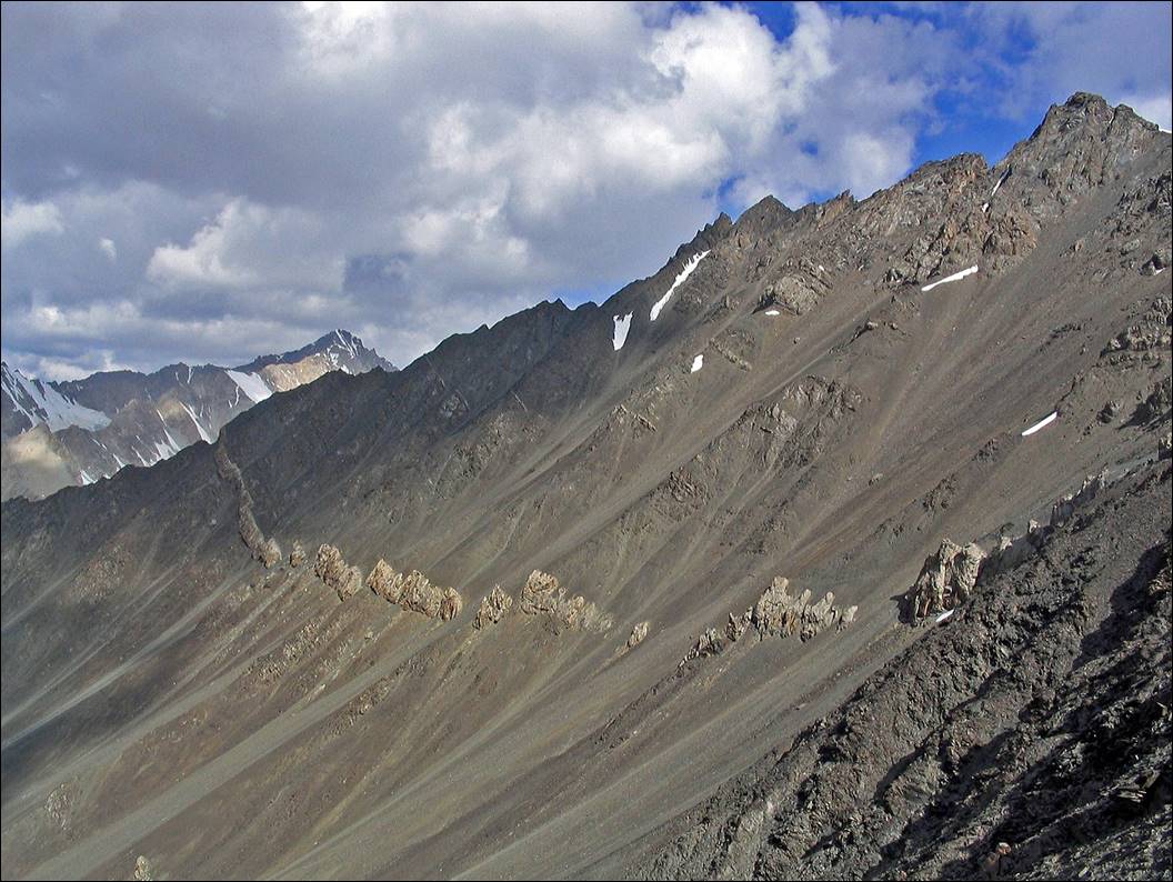
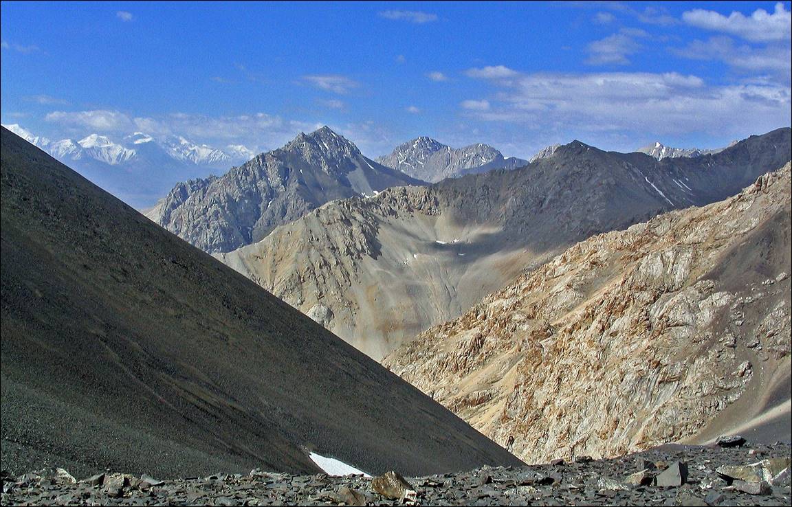
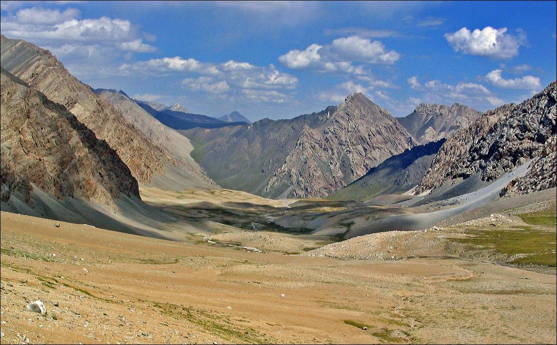
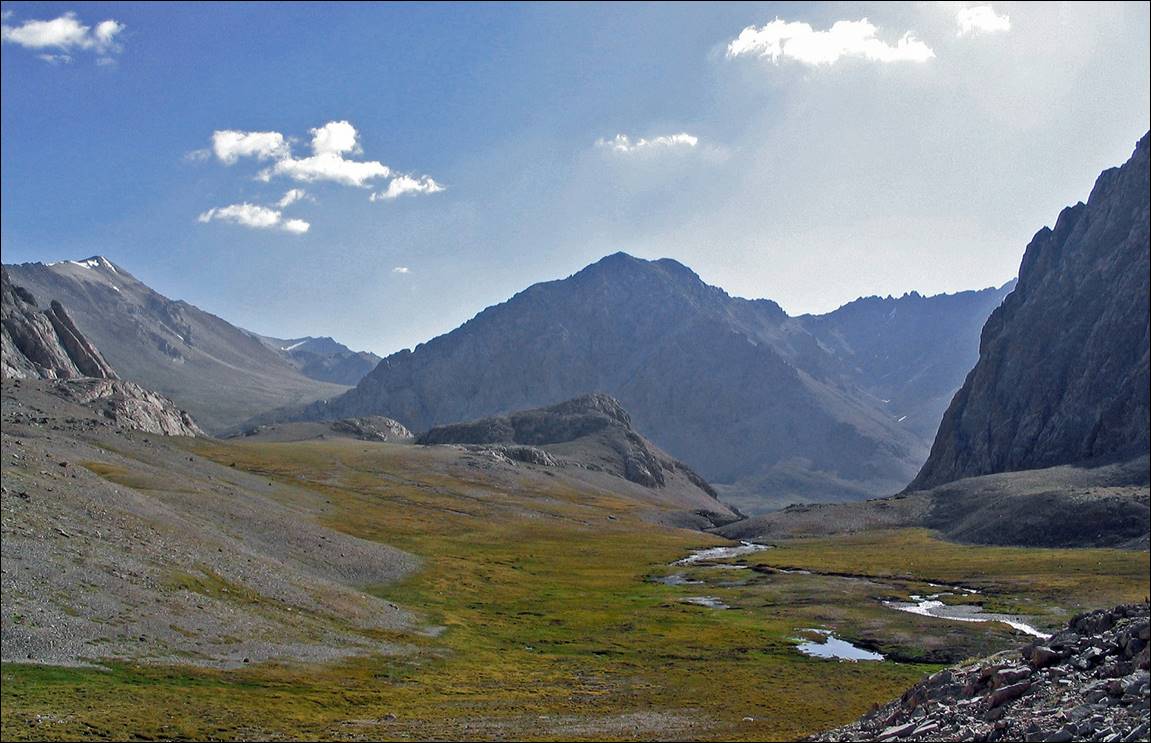
View from the pass (4482m) toward the north, with
the lake visible on the left side of the photo.
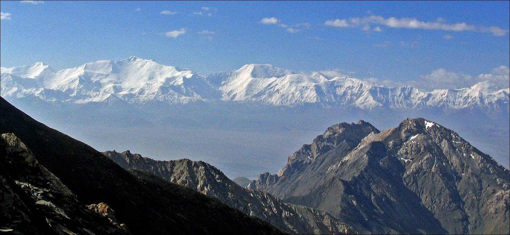
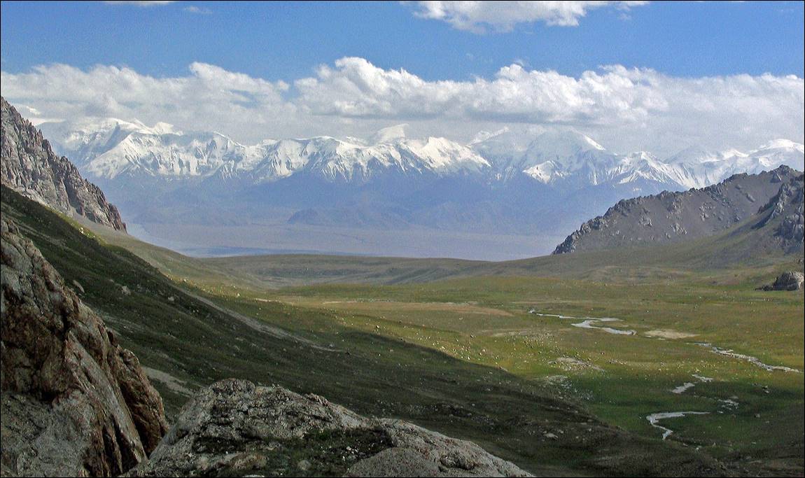
View
of Peak Lenin (7134m) and the surrounding range from Kyndyk
pass.
At Kyndyk pass, with
Maxim in the photo on the left.
|
|
|
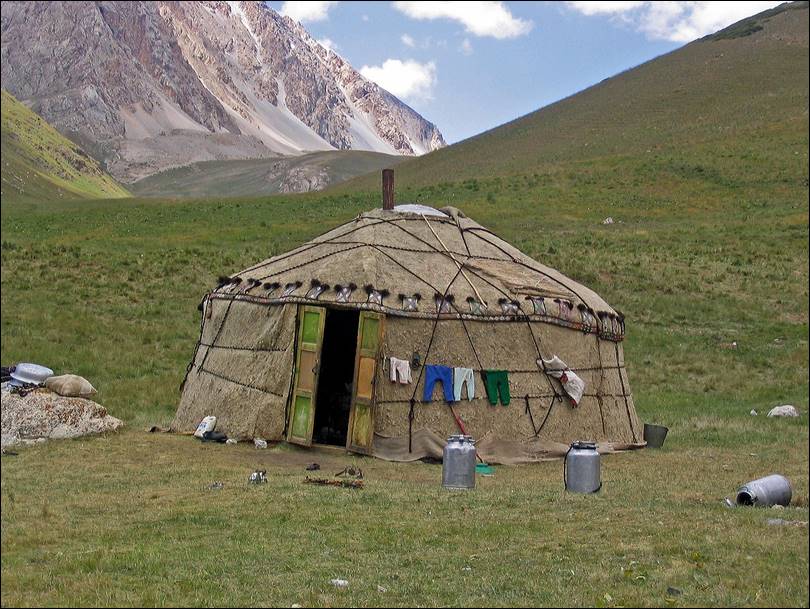
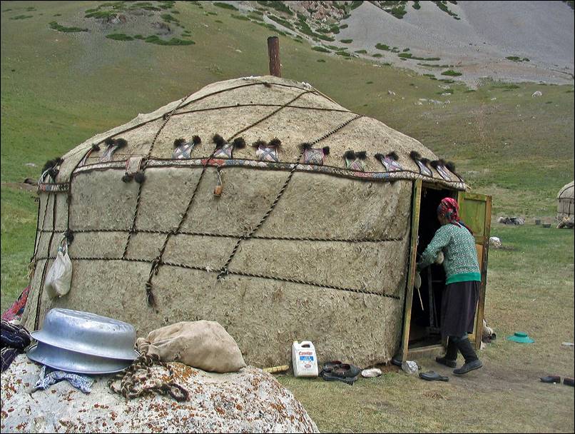
Yurts
along the way down from the pass.
|
|
|
More
views.
Our
camp #3.
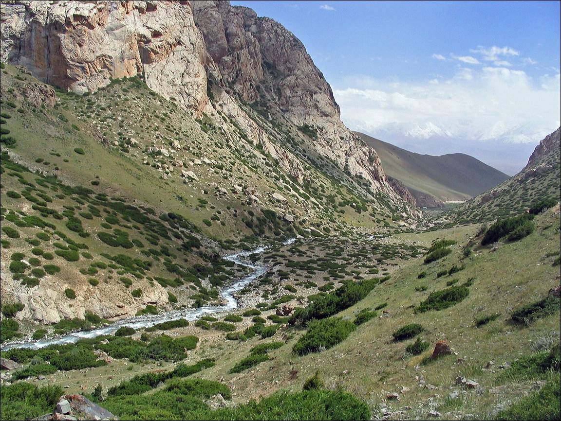
The Karakavak valley further
down.
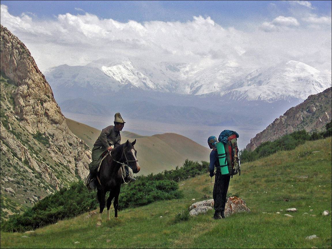
Maxim talking to a local horseman.
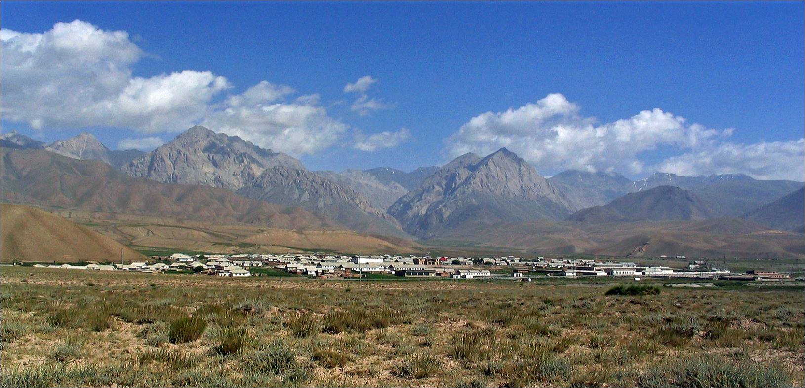
Village
of Kashkasu at the end of the trek.
![]()
Return to Central
Asia 2004 main webpage