Chile (July-August 2015): Salars de Pujsa and Tara
![]()
Return to main Chile 2015 webpage
|
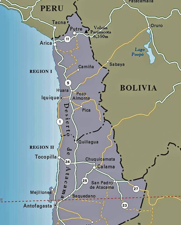
Northern Chile: |
Annotated satellite view of the region around San Pedro de Atacama: |
|
|
|
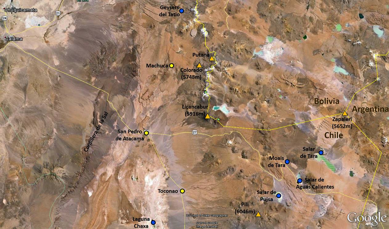
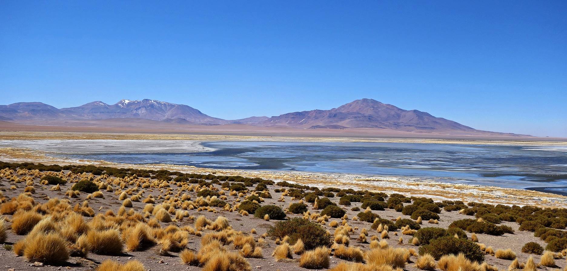
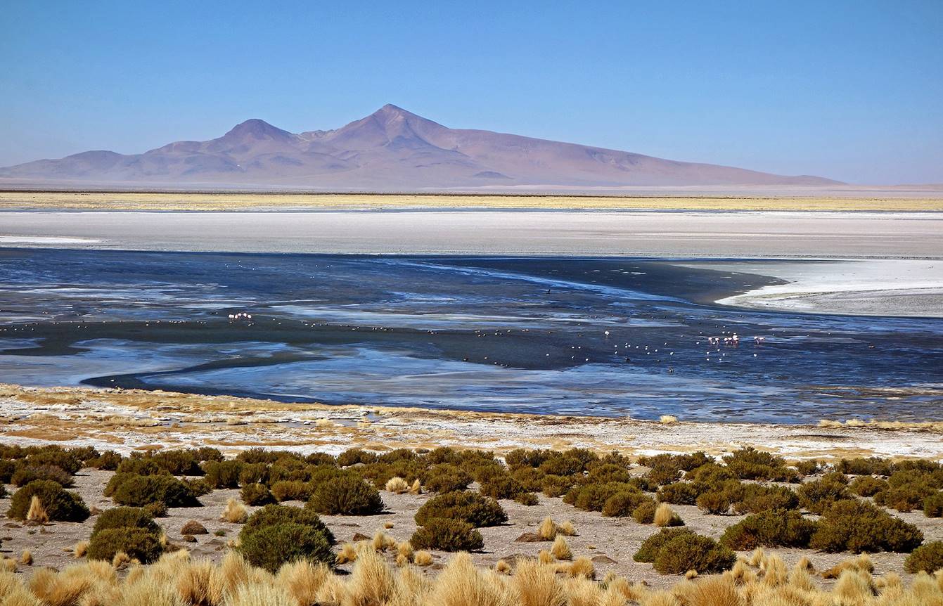
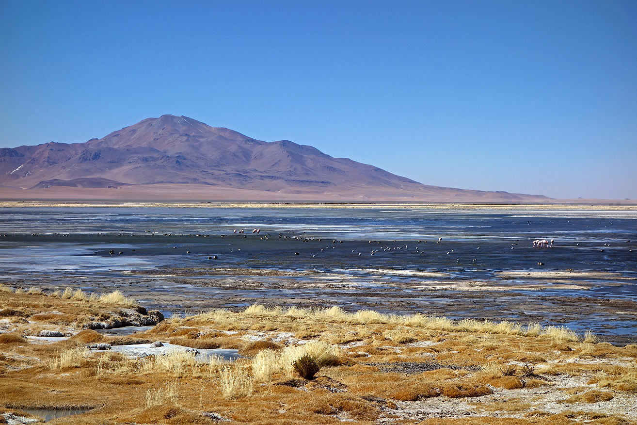
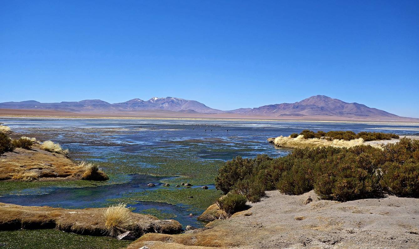
The Salars de Pujsa and de Tara are salt flats/lakes located 65 and 85 km east of San Pedro de Atacama in an area of Chile coined between the borders with Bolivia and Argentina.
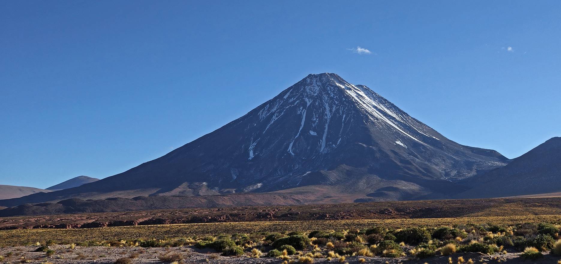
Volcan Licancabur (5916m) seen early in the morning from the road #27 between San Pedro and Argentina. It lies on the border with Bolivia. Its name means ″people‛s mountain″ in the now extinct kunza language that was once spoken by the Atacamenos.
Landscape of the Altiplano on the way to the salars at a place called Pampa La Bola.
Arriving at Salar de Pujsa. The white dust above the salar was caused by strong wind, not by any type of volcanic activity.
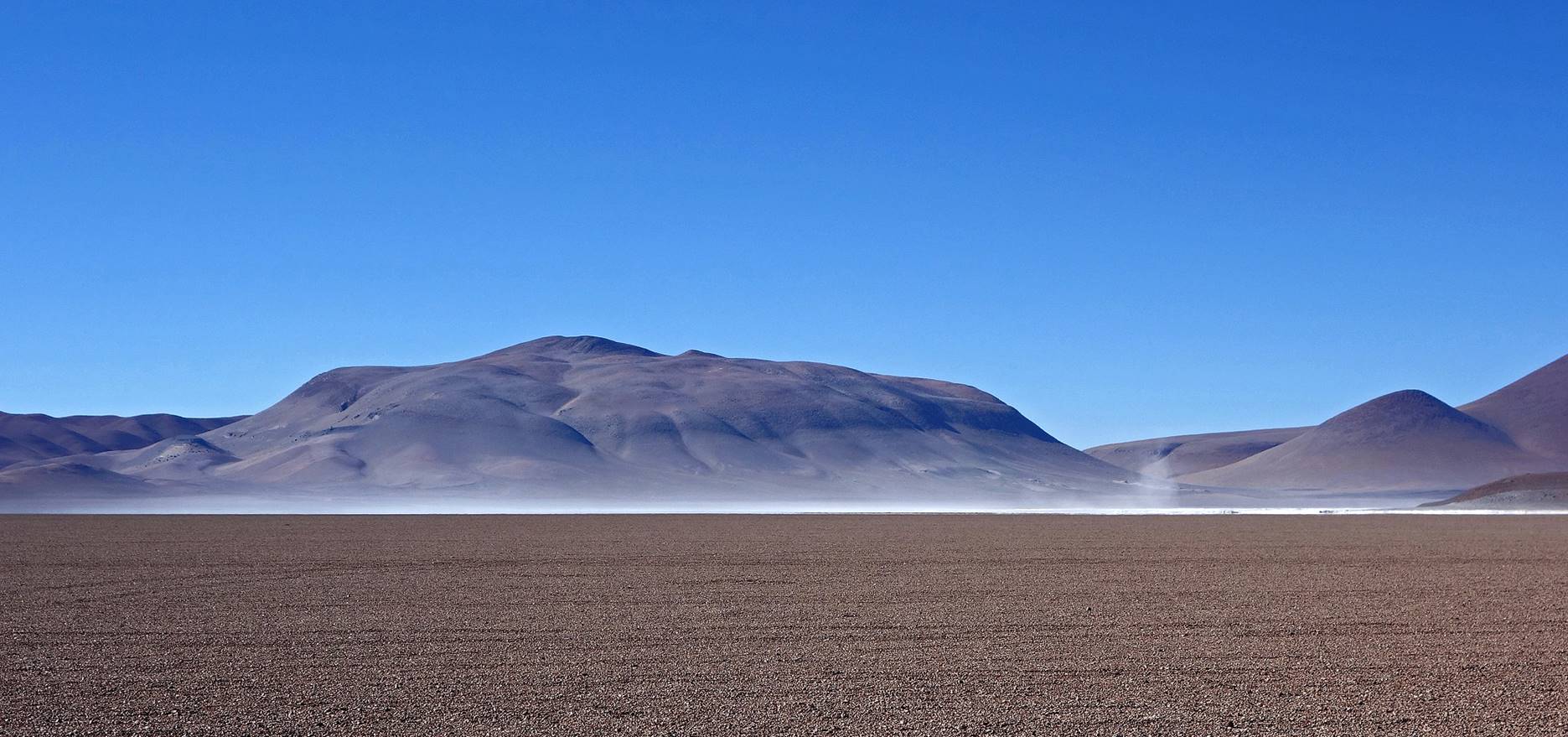
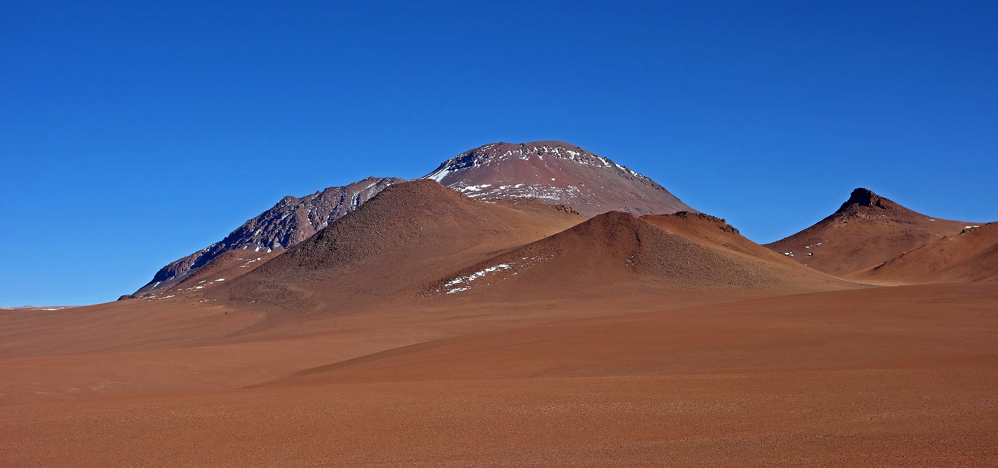
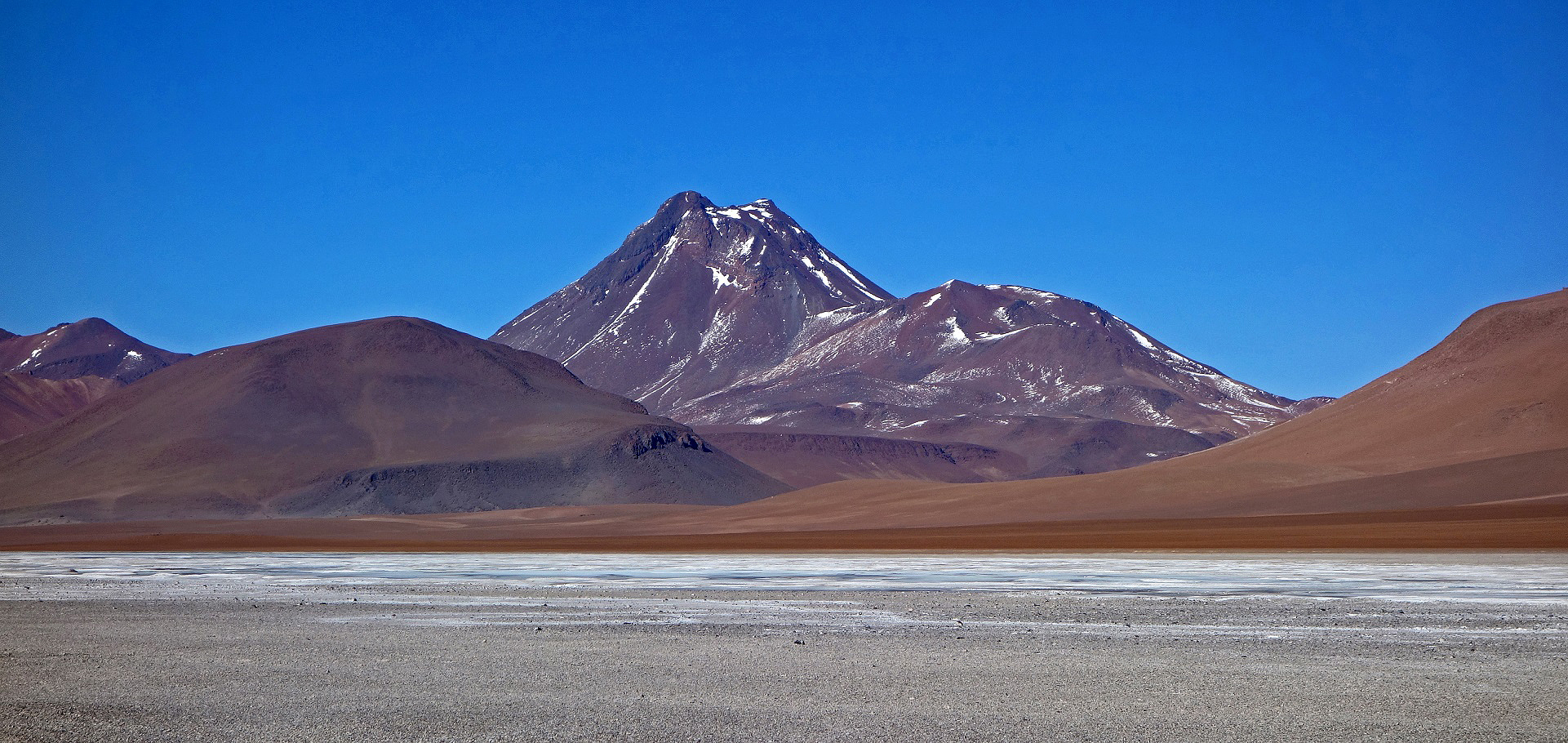
Volcan Pili (6046m) behind Salar de Pujsa.
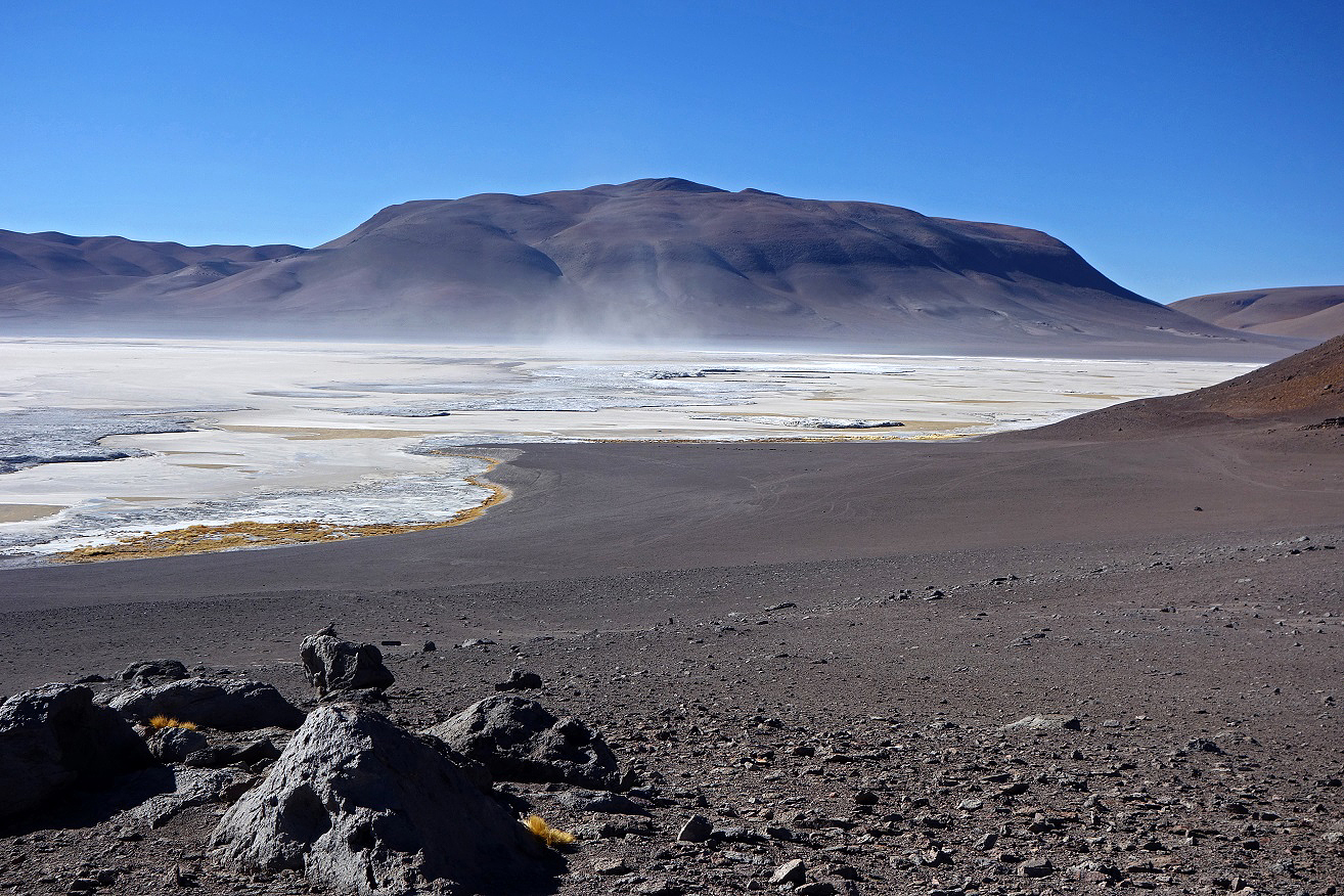
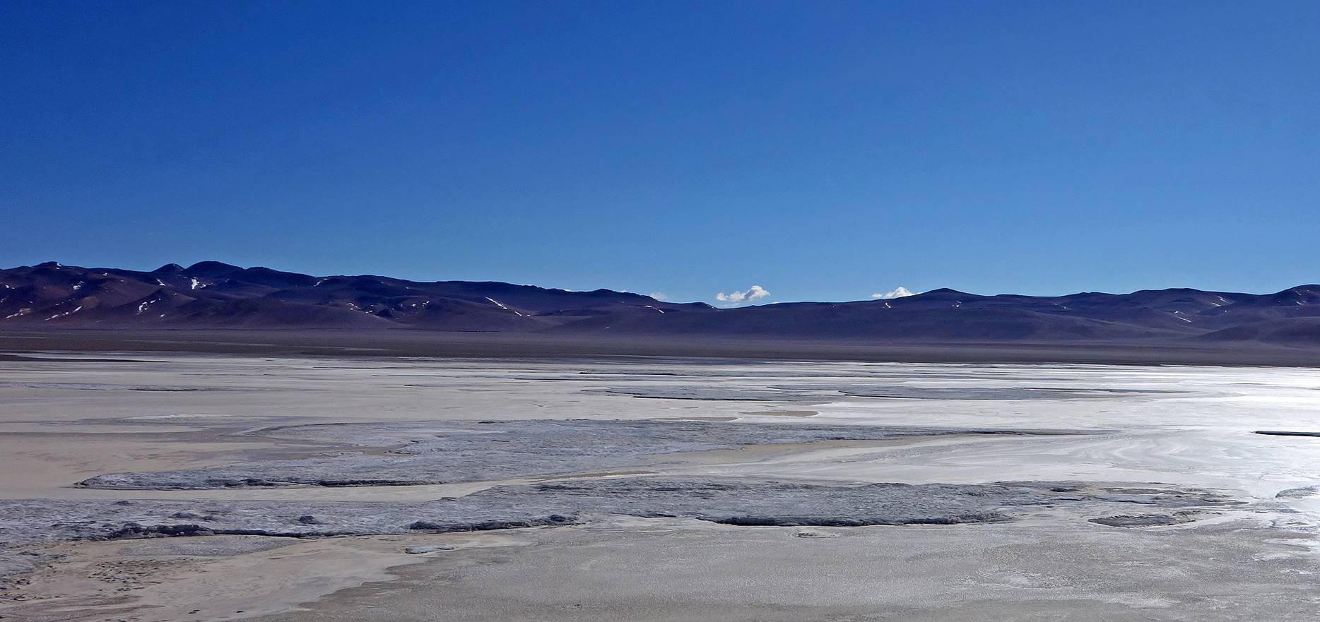
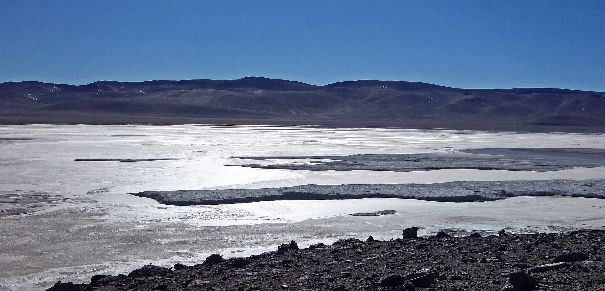
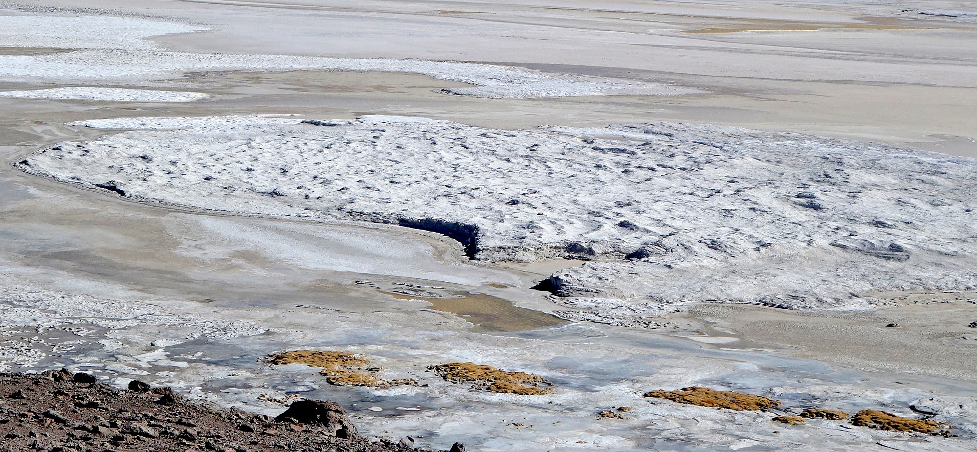
Views of Salar de Pujsa.
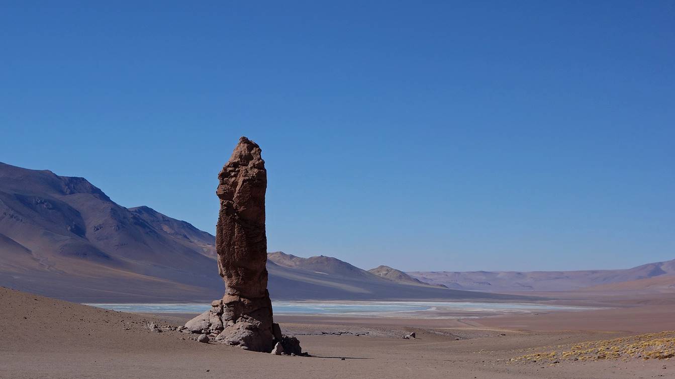
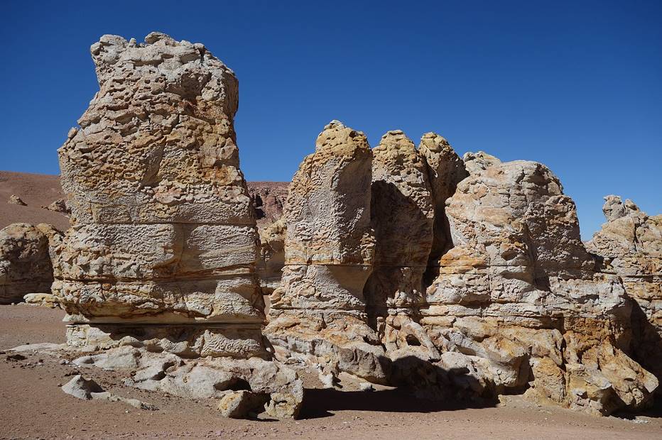
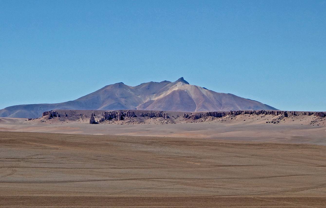
Moais de Tara. These rock formations located near the Salar de Aguas Calientes (visible in the first two photos below) at the foot of Cerro de la Pacana draw their appellation from their loose resemblance with the Moais of Eastern Island. They are also known as the Monjes (Monks) de la Pacana.
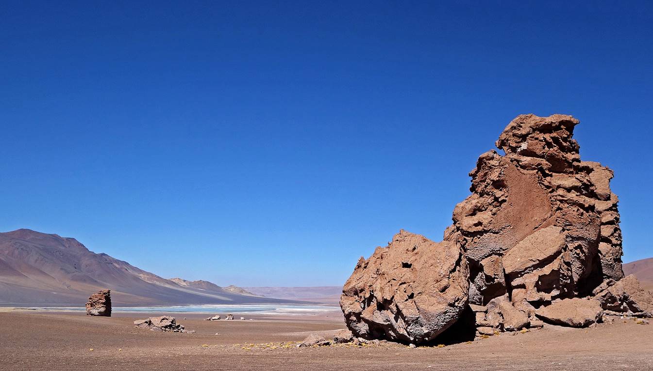
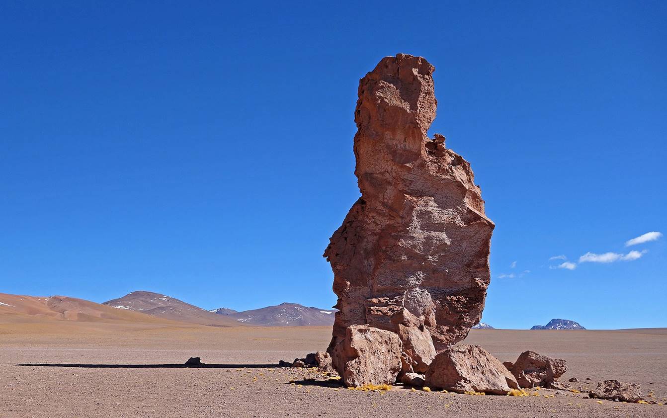
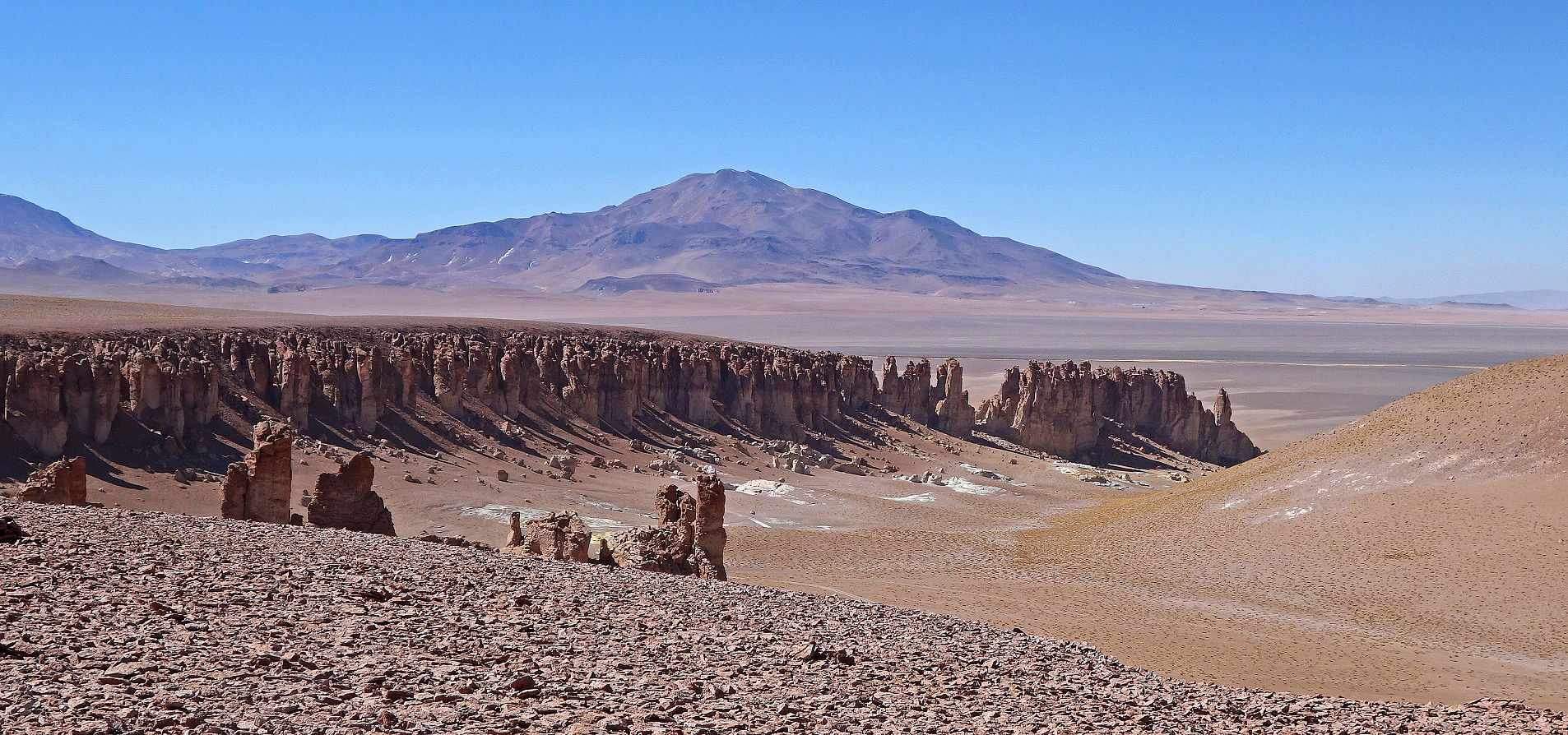
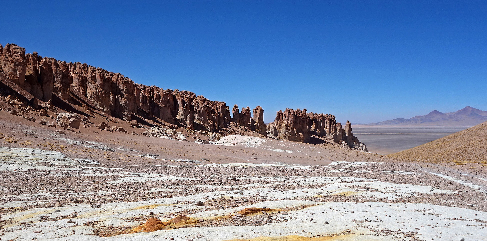
Other rock formations near Salar de Tara.
|
|
|
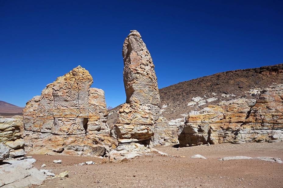
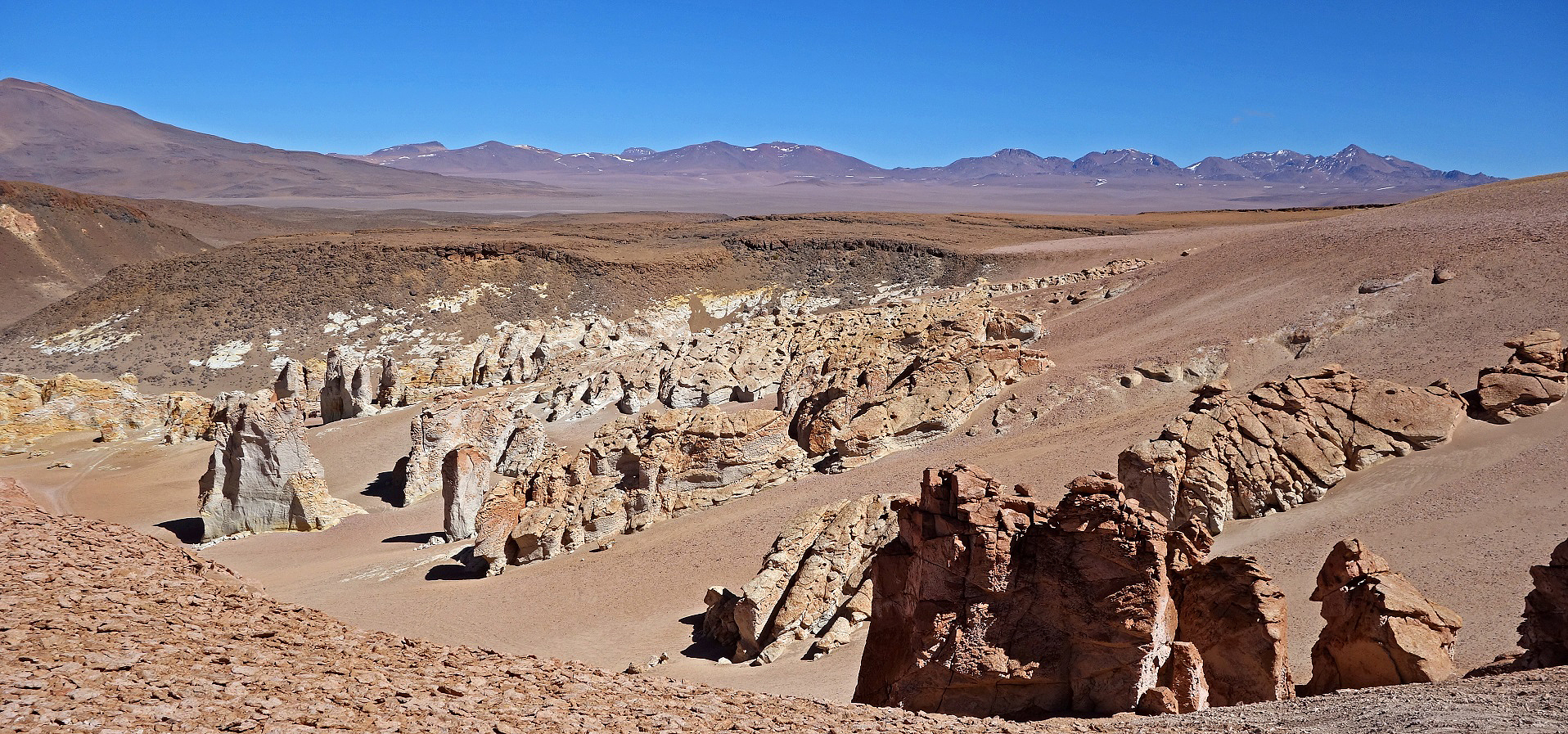
Catedral de Pedra.
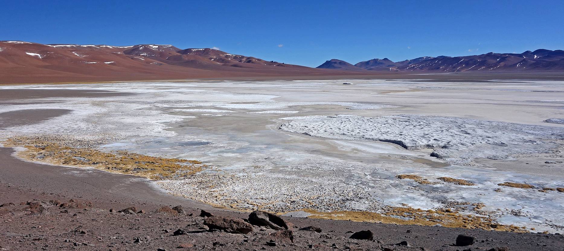
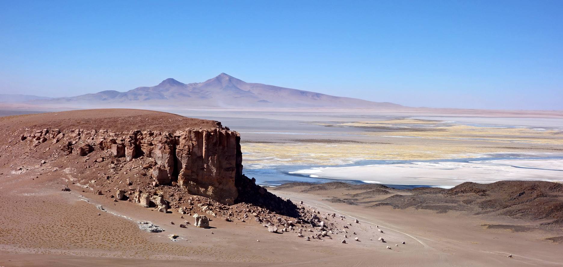
Salar de Tara.
Cerro Zapaleri (5652m), whose summit lies at the intersection of the borders of Chile, Argentina, and Bolivia.
![]()