Chile (February-March 2016):
Dientes, Lagunas, and Turbales de Navarino (Days 1 and 2)
![]()
Return to main Navarino trek webpage
Day 1: La Cascada to Laguna del Salto
View over the Beagle Channel (toward the west) during the ascent of Cerro Bandera.
In the forest on the slope of Cerro Bandera.

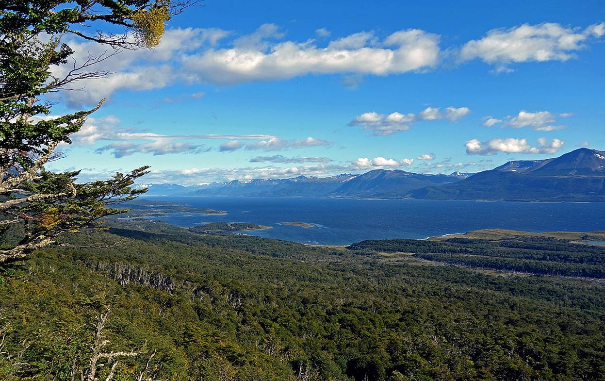
At the top of Cerro Bandera (which means ″flag mountain″).
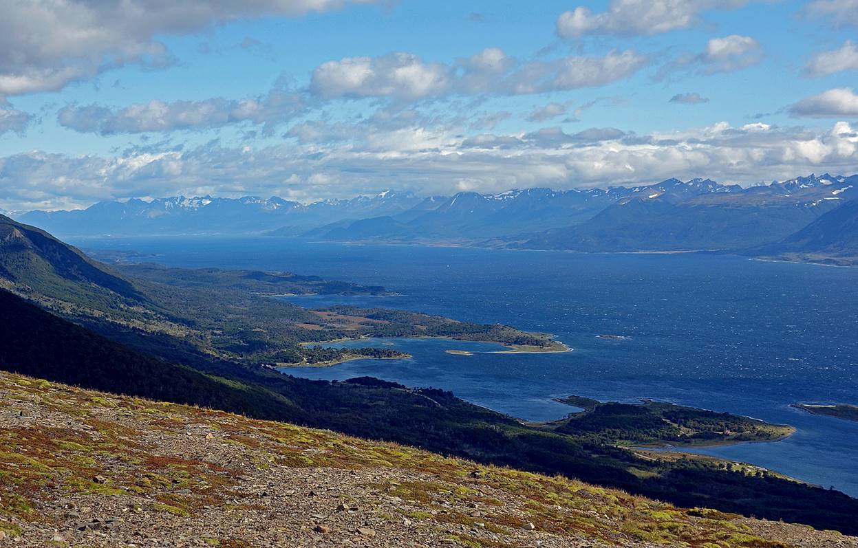
Views from Cerro Bandera...
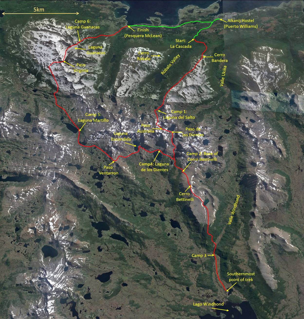
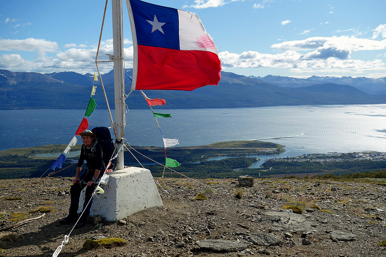
...over Puerto Williams and the Beagle Channel...
...over the Beagle Channel (toward the west)...
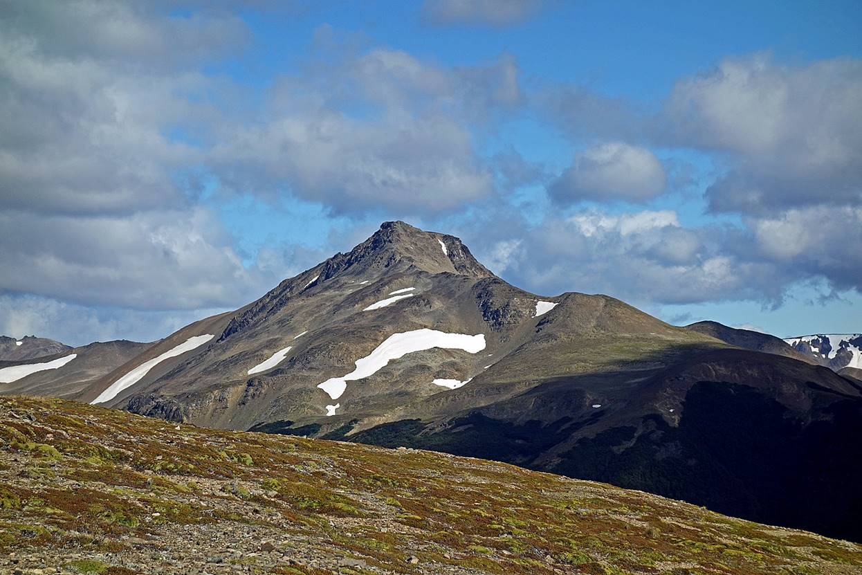
...of Cerro Robalo (912m)...
...and over Valle Ukika.
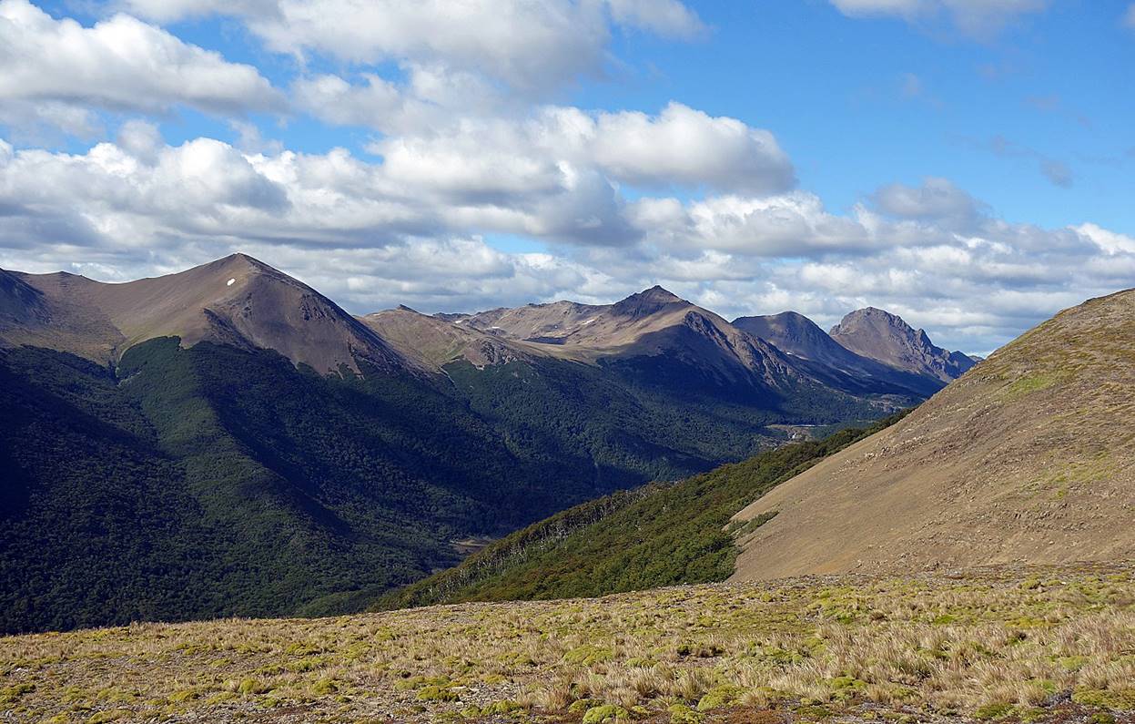
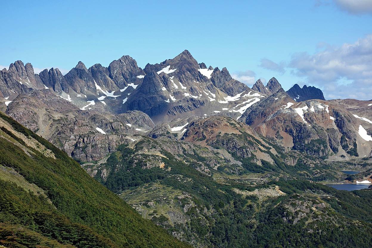
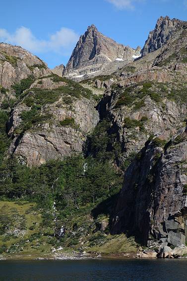
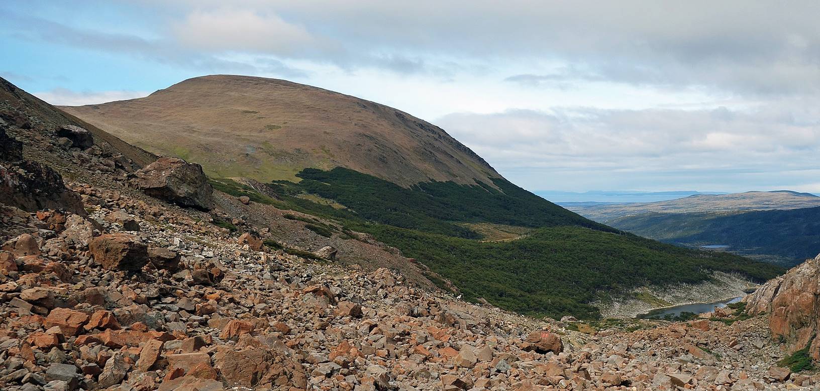
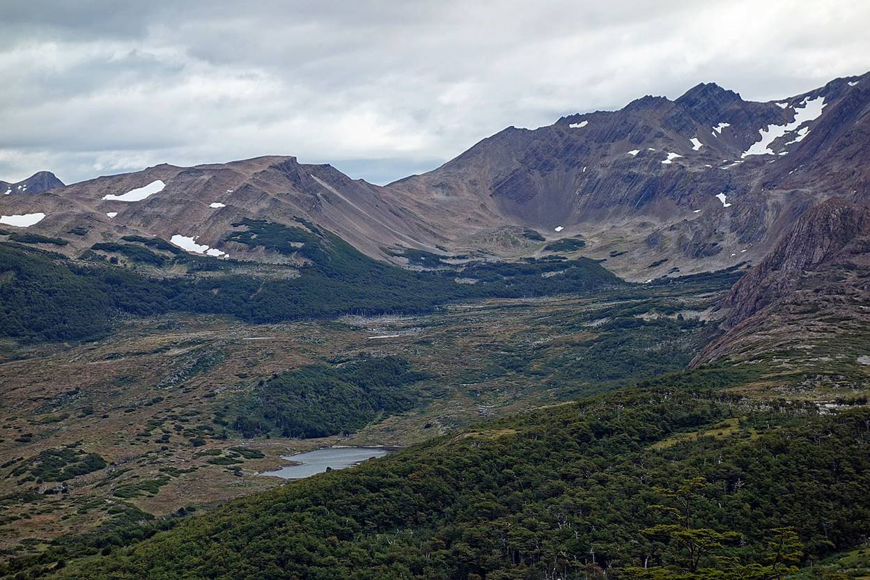
Los Dientes, seen from successive locations between Cerro Bandera and Laguna del Salto.
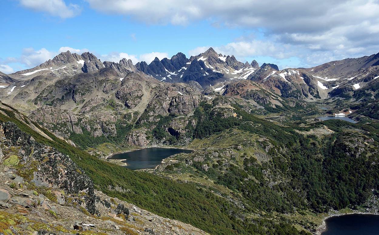
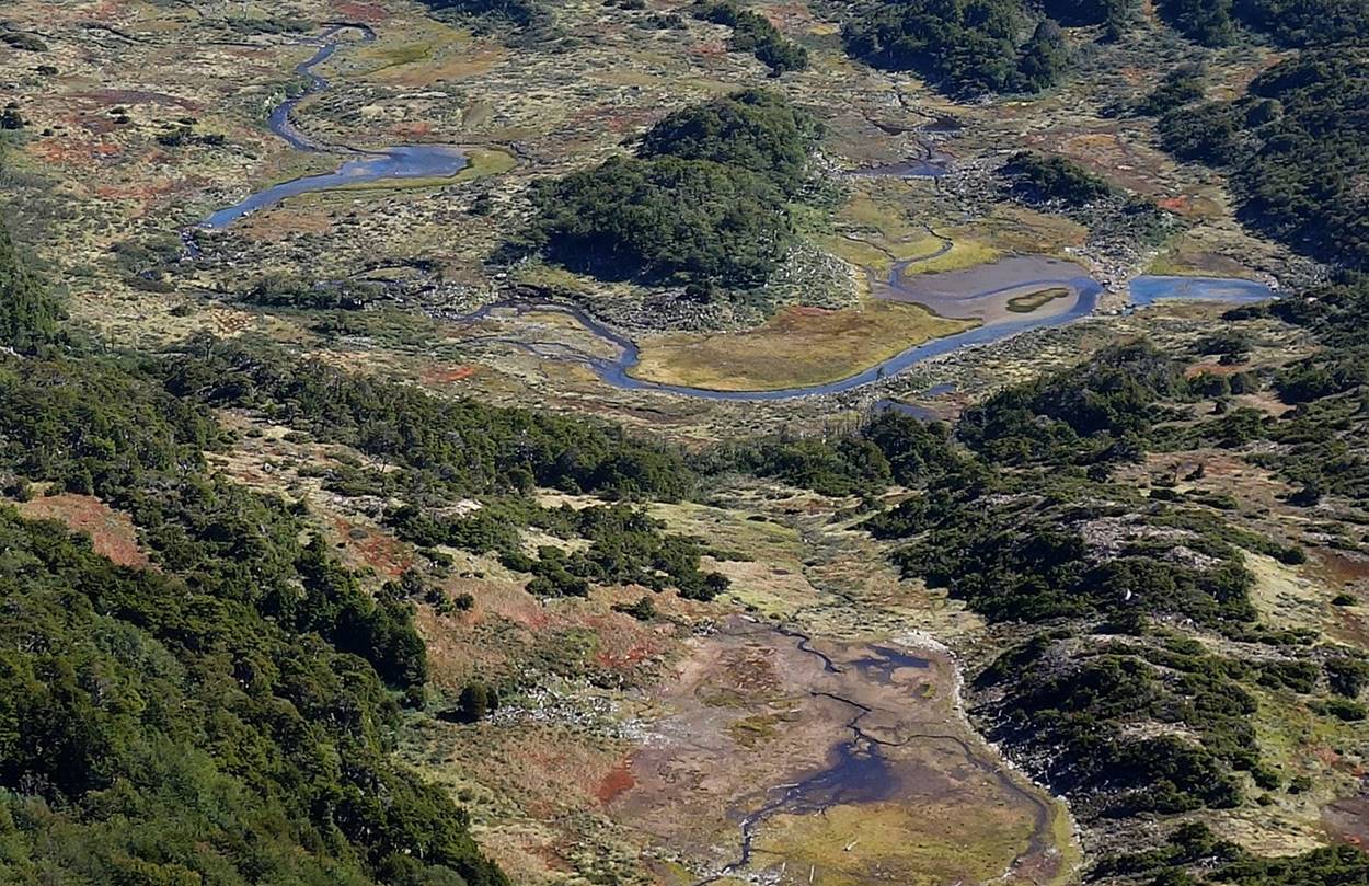
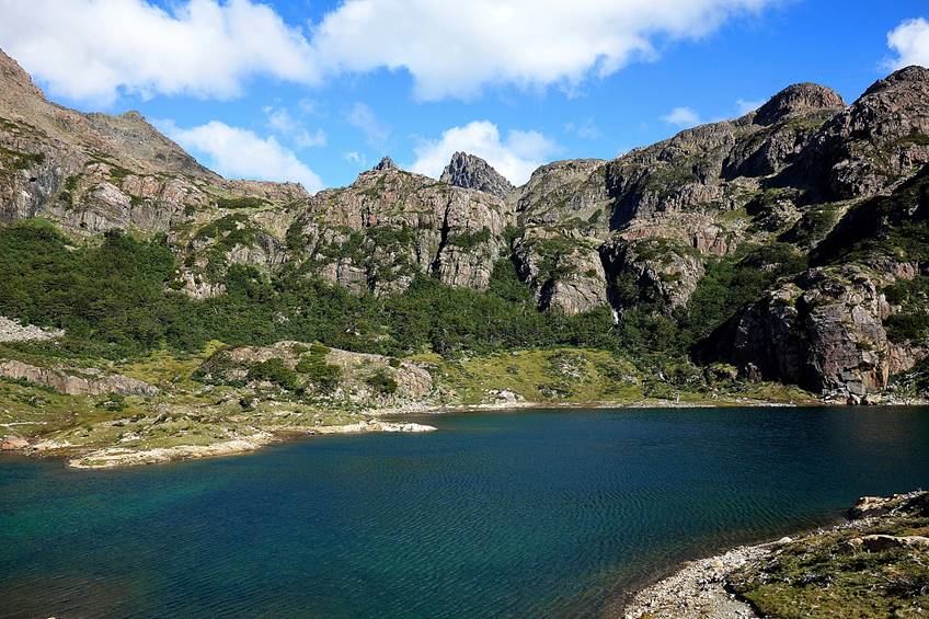
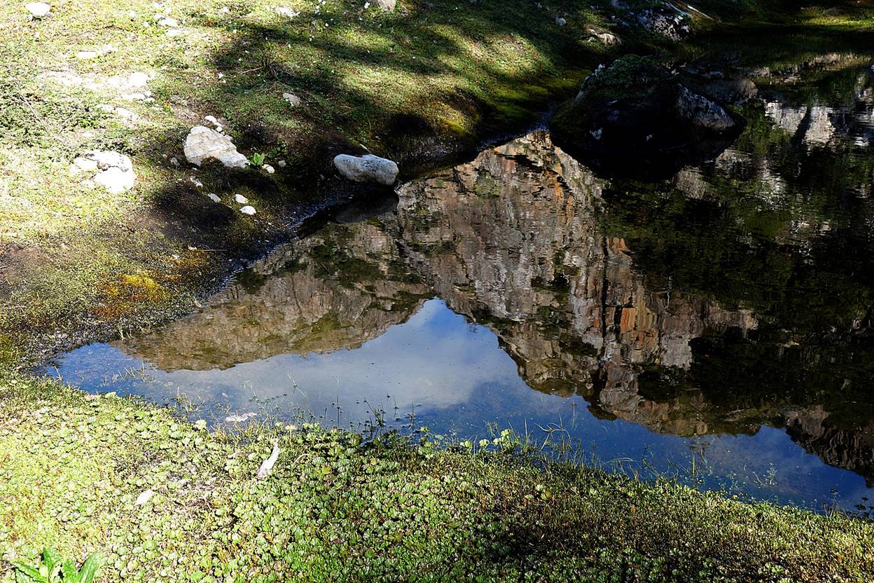
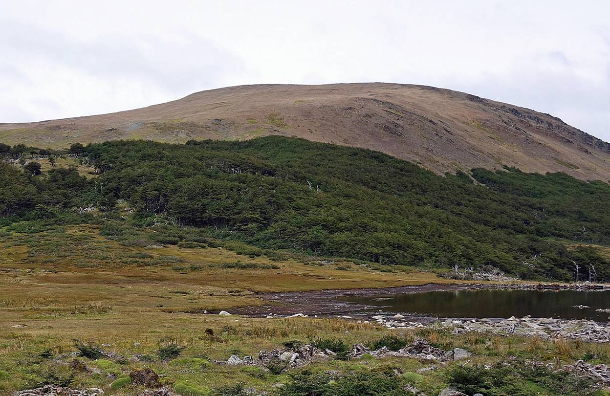
Turbal between Lagunas Robalo and Palachinque, two lakes located in the Robalo valley below Laguna del Salto.
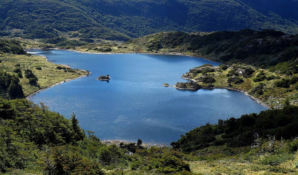
Laguna Palachinque.
At Laguna del Salto.
|
|
|
|
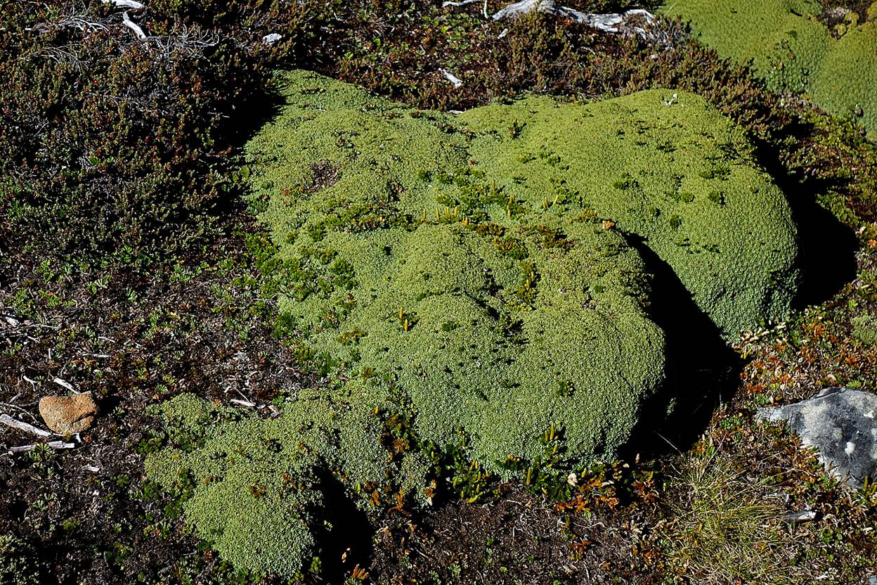
Llareta near Laguna del Salto. I saw many of them during the trek. In northern Chile I have seen llaretas that are said to be over 3000 years old (see here). The llaretas growing in Navarino are much softer than those of northern Chile. I doubt they live nearly as long.
Day 2: Laguna del Salto to the base of Cerro Bettinelli
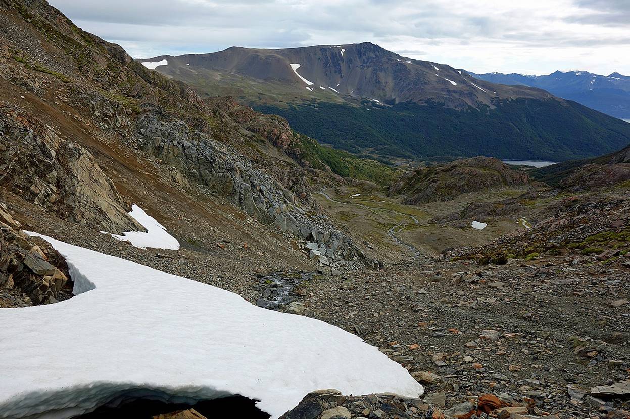
View during the ascent from Laguna del Salto to Paso Primero (705m).
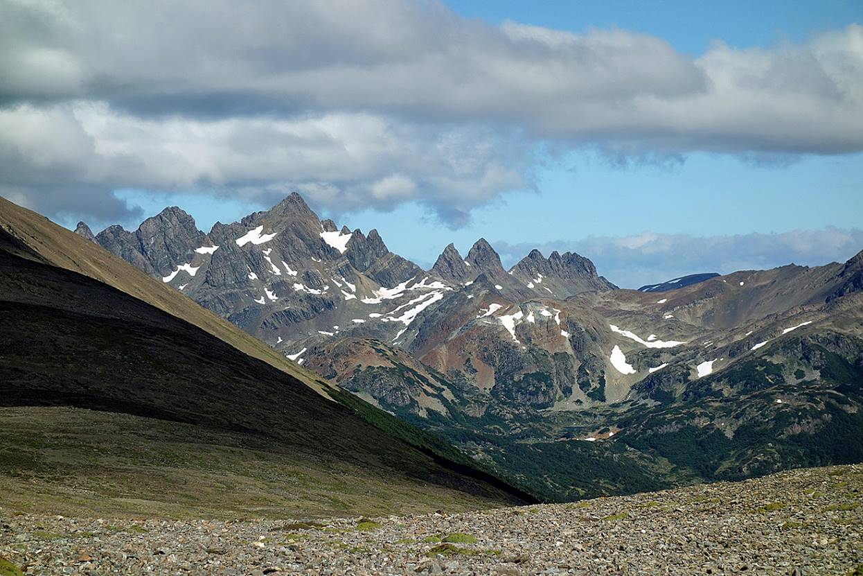
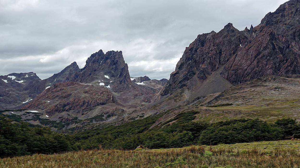
Some Dientes between Paso Primero and Paso Australia.
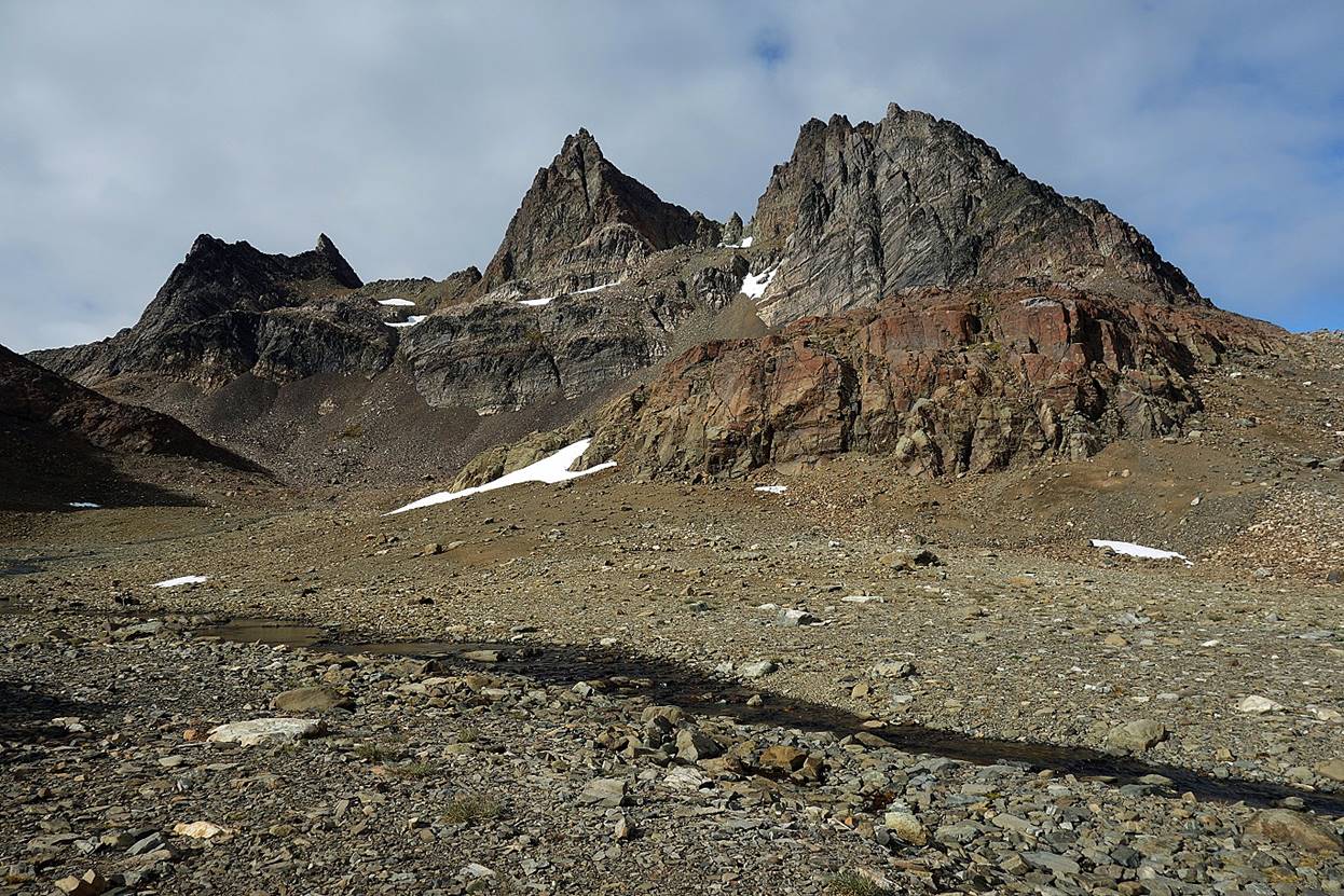
Nice viewpoint (toward the west) between the two passes.
At Paso Australia (787m)
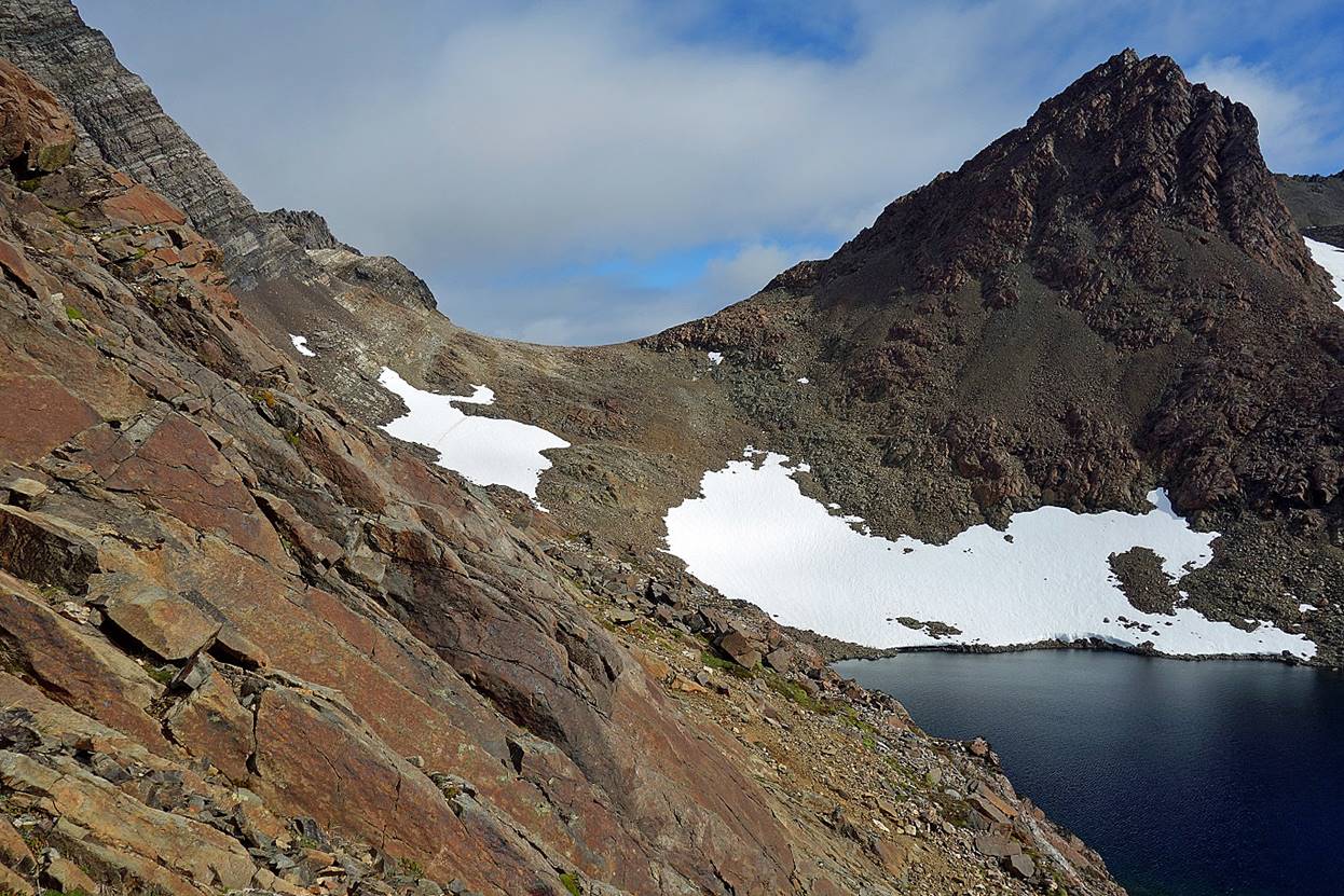
Laguna del Paso below Paso Australia, with Paso de los
Dientes (743m) visible on the right.
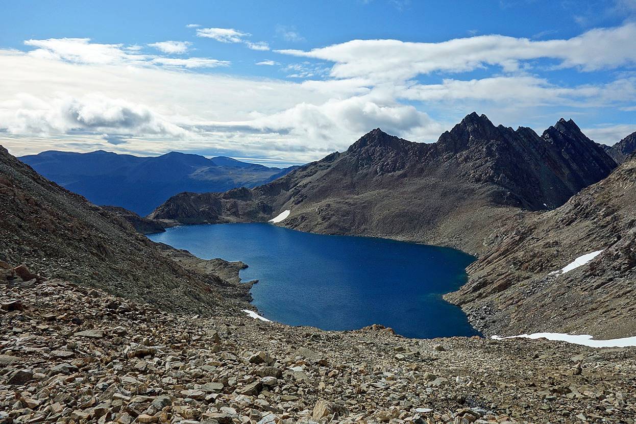
Paso Australia seen from the other side.
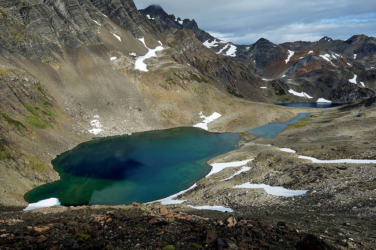
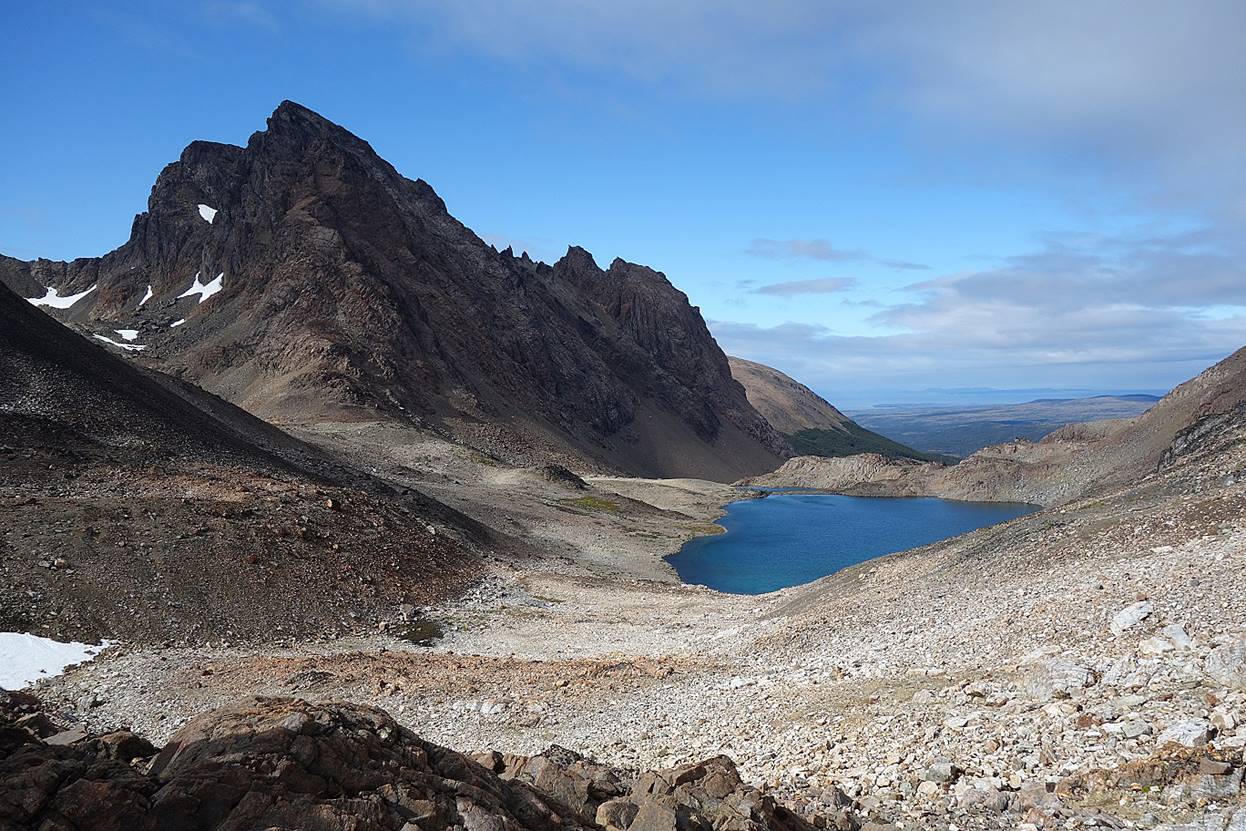
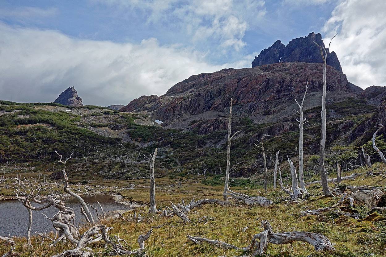
Upper Laguna del Picacho seen from Paso de los Dientes. The Picacho Diente (1118m), on the left, is the highest summit in Navarino.
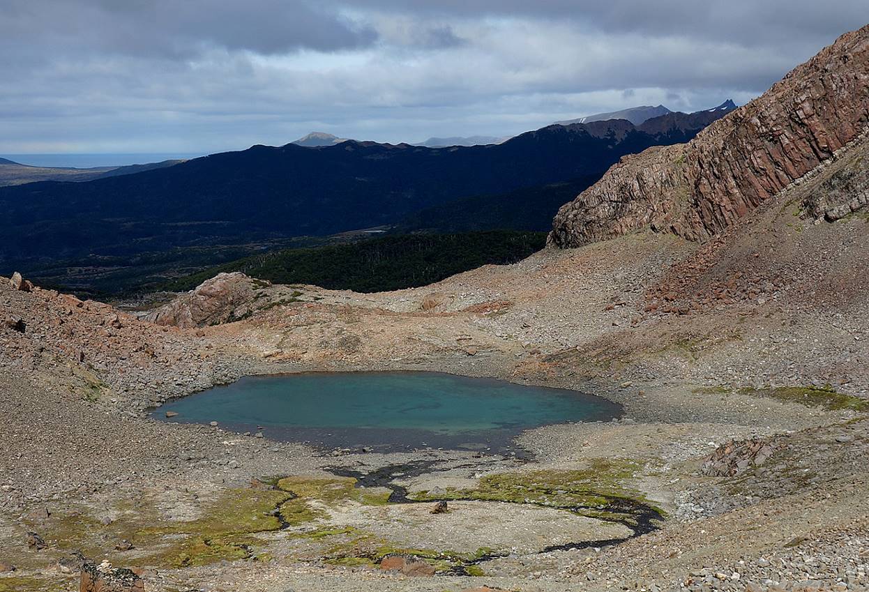
The smaller Lower Laguna del Picacho.
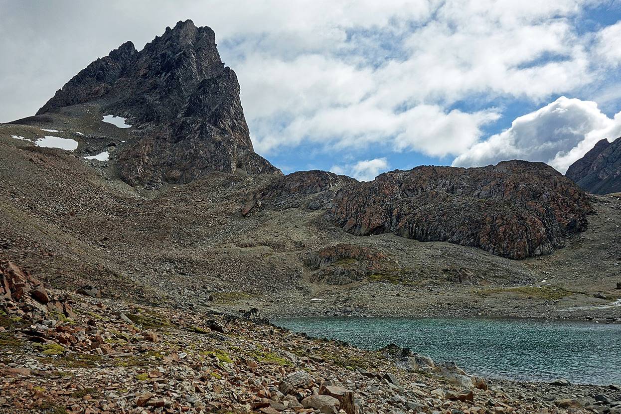
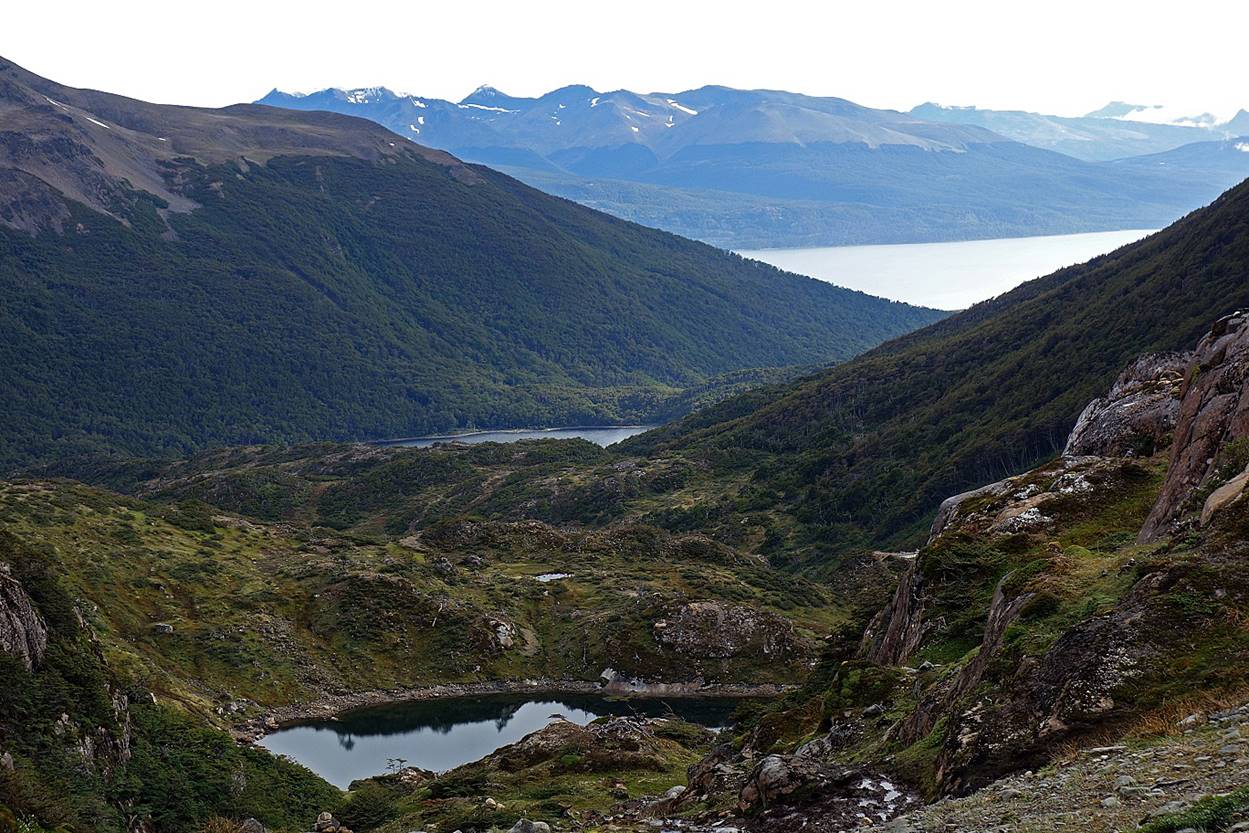
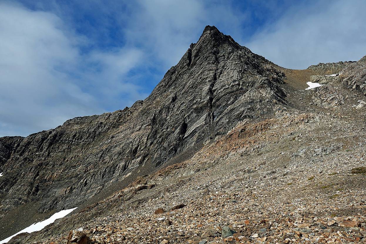
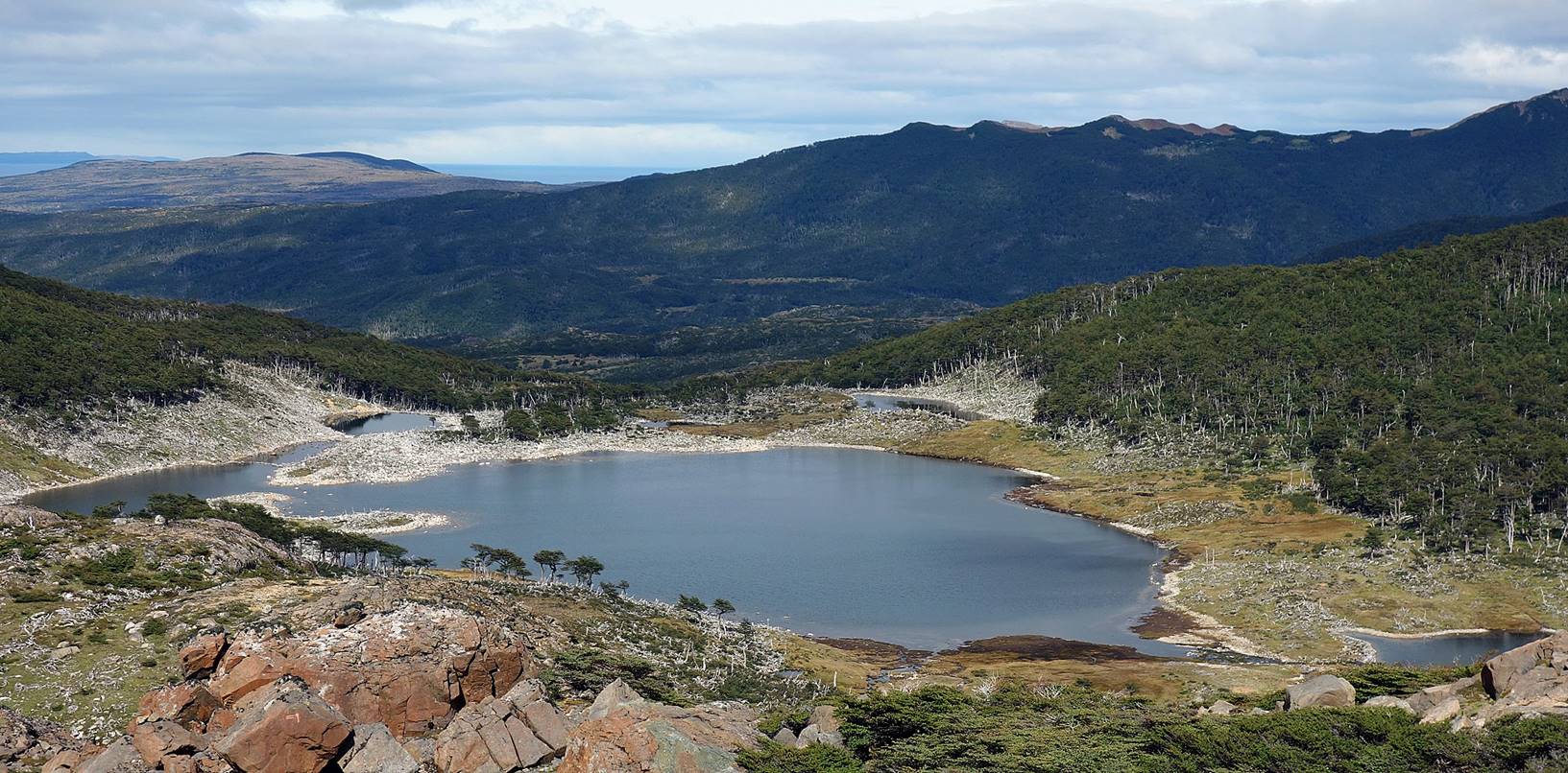
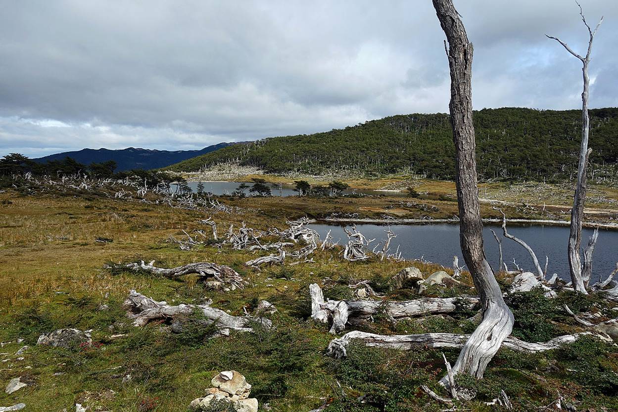
View of Cerro Bettinelli (883m) after passing the Lower Laguna del Picacho. Our plan was to set our second camp on the slope of this cerro, just behind the treeline to get maximal protection from the wind.
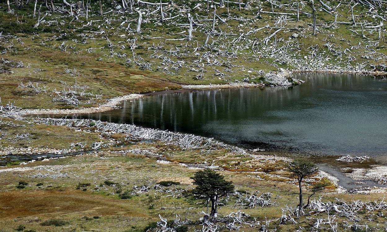
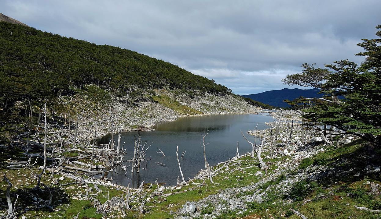
Lakes below Cerro Bettinelli, several of which have been created by beavers.
Beaver lodge (the dark pile of sticks, mud, and bark near the center of the photo). All the entrances of the lodge are underwater as protection against predators (mainly wild dogs in Navarino). These entrances must be deep enough so that they do not get blocked by ice during winter. Beavers build dams to create lakes that flood appropriately the entrances of their lodges. See here for more detail.
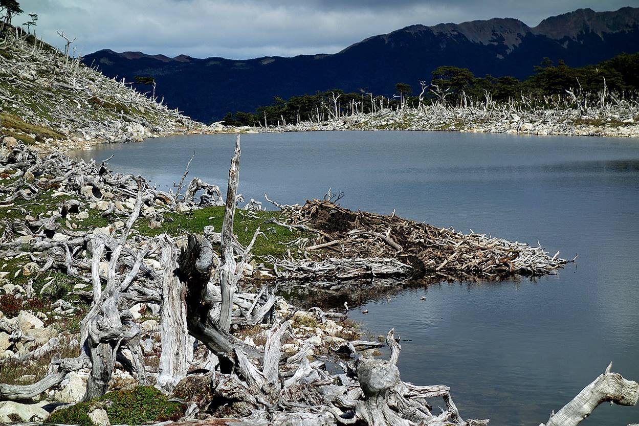
Beaver dam and lake. A beaver dam is created for the lodge of a single family of beavers, typically two adults plus up to eight offspring‛s. A single beaver couple may fall hundreds of trees. They have enormous impact on their environment, causing notable changes in river flow.
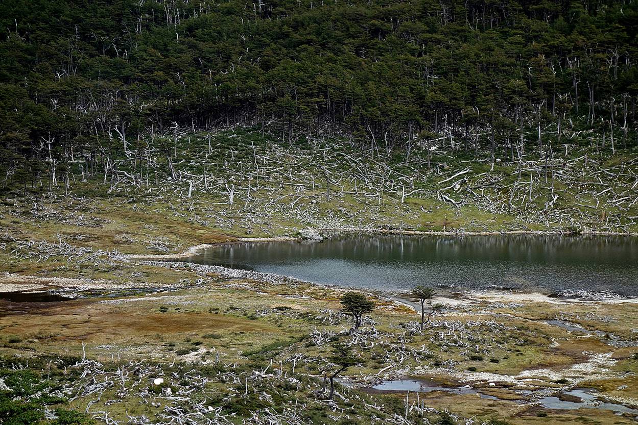
An old smaller beaver dam.
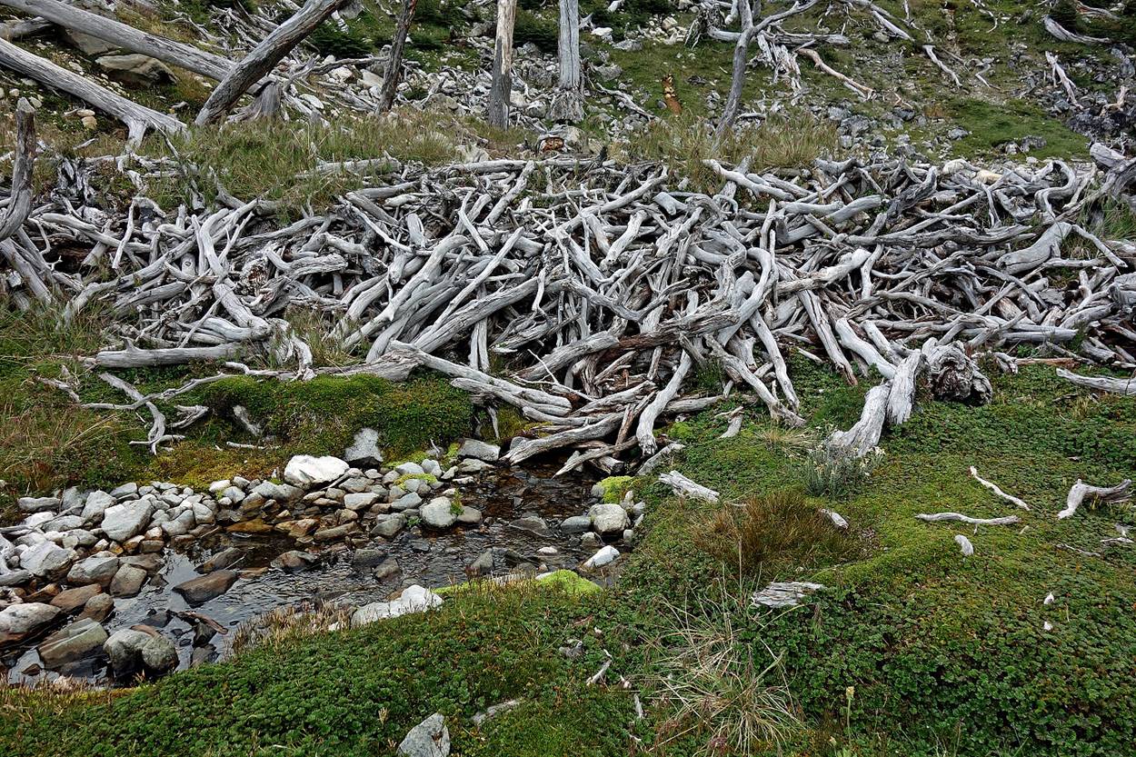
Beaver habitats look like devastated areas. Fortunately they require adequate hydrological basins. So beavers can only spread over a fraction of Navarino.
Reaching the base of Cerro Bettinelli.
Our second camp, on the slope of Cerro Bettinelli at the limit of the forest.
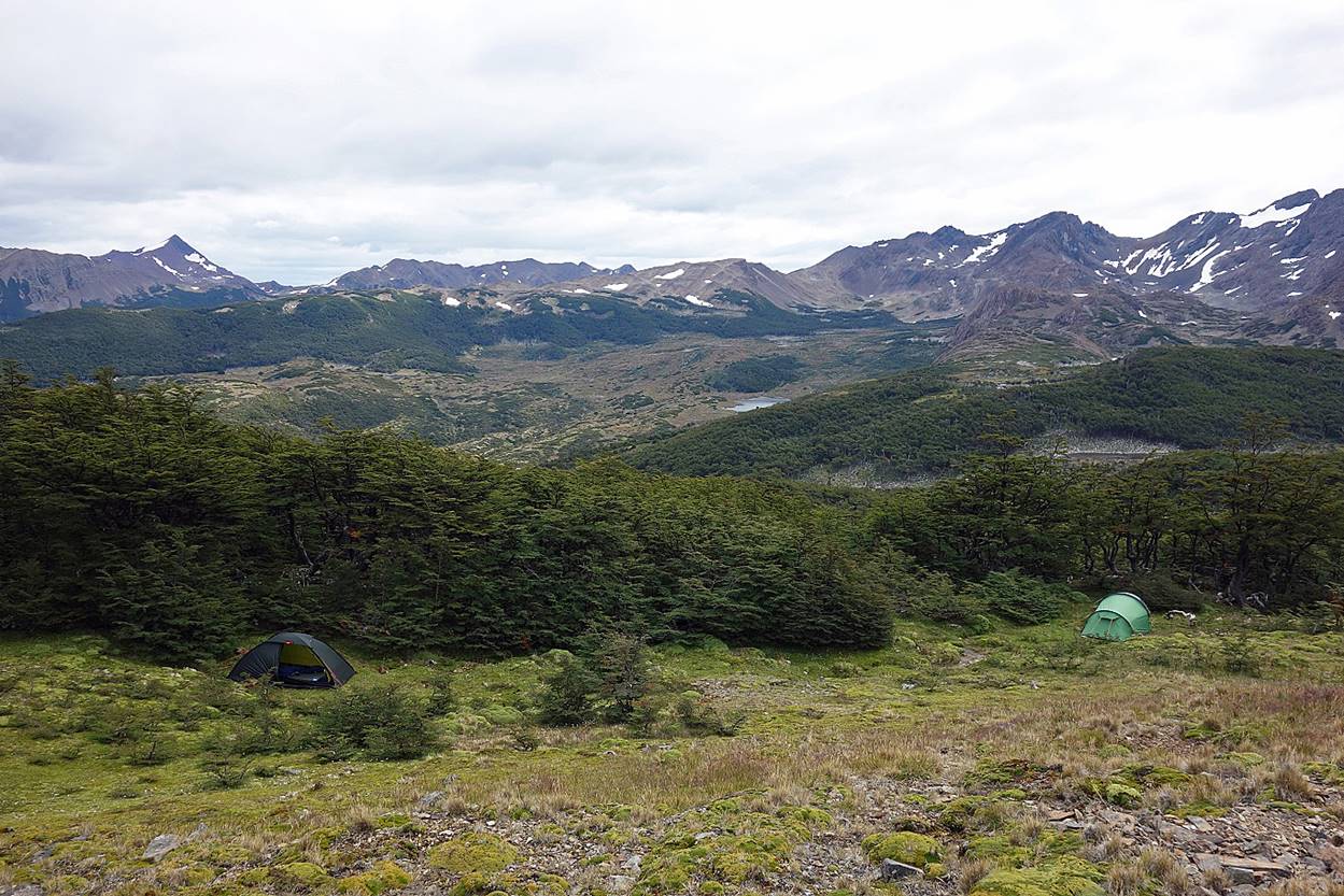
View toward Paso Australia and Paso le los Dientes (in the middle of the photo) from the camp.
View toward the northwest from the camp, with Paso Ventarron (meaning ″Windy Pass″) at the center. We will cross this pass on day 5.
![]()