Danakil Desert, Ethiopia (Summer 1973)
![]()
Return to main Ethiopia 1973
page | Return to my mountaineering/trekking/travel webpage
I was 26 years old in 1973 when I first
went to Ethiopia, specifically to hike through the Danakil desert. I had seen
aerial pictures of the Danakil (a.k.a. Afar) depression a few months earlier,
and I felt immediately compelled to travel to this place. In books authored by Henry de Montfried and Joseph Kessel (Fortune Carree) I had also read that the Danakil people (also
called the Afars) were feared across North-East
Africa as fierce fighters. I was young, and these books made this place even
more attractive to me.
|
|
|
Map and approximate itinerary.
|
|
|
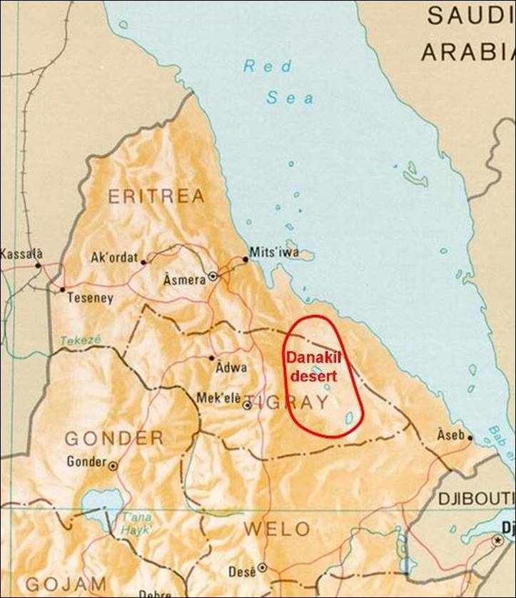
In 1973, Emperor Haile Selassie was
still ruling Ethiopia and Eritrea was part of Ethiopia. I flew to Asmara (now
the capital of Eritrea) and took a bus to Mekele
(also spelled Mekelle), the capital of the province
of Tigray, which was the natural point of entry into the Danakil desert. After
a week in Mekele, I had secured a permit from Ras
Mengesha Seyoum, Prince
and Governor of the province of Tigray (and married to one of Haile Selassie′s
granddaughters), to travel to the Danakil desert. I had also met a Danakil
chief (a ″Fitwara″), who offered me his
nephew as a guide.
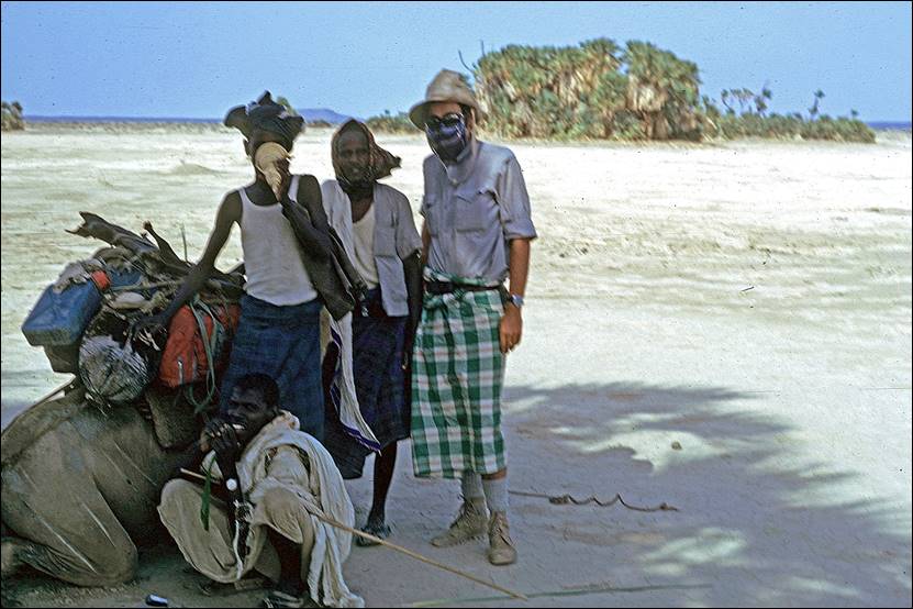
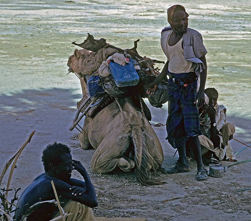
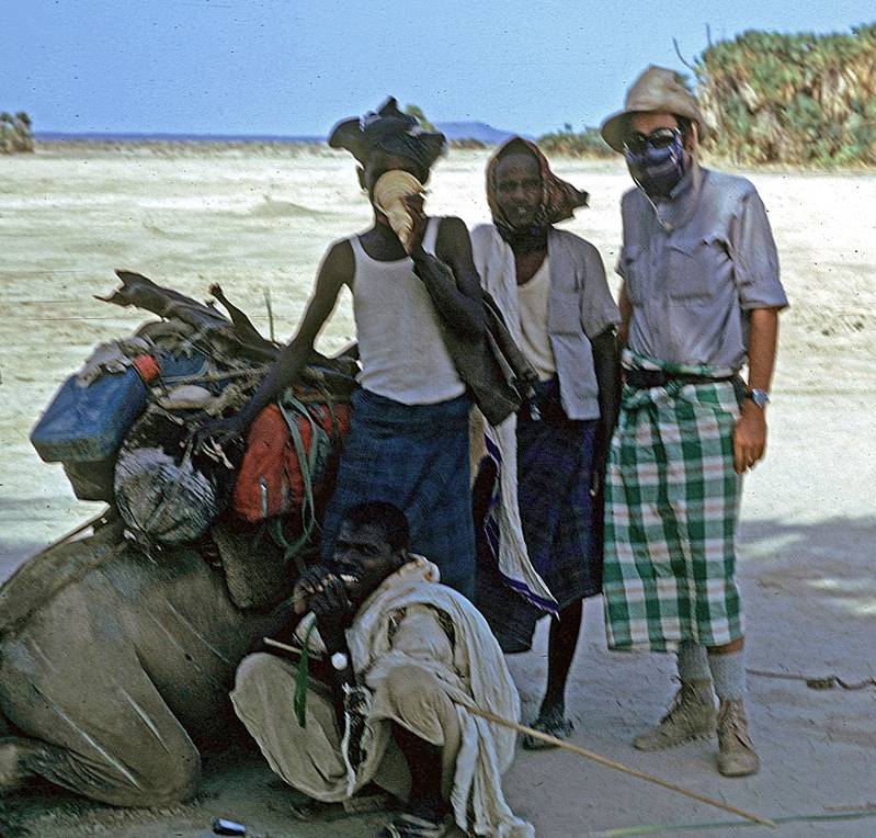
With my guide we first hiked down from
the Ethiopian plateau to the village of Berahle on
the fringe of the desert, where we recruited two other Danakils
for the rest of the expedition, hence forming a small team of four people. I
also bought a camel, a donkey, and two goats, so that for a few weeks I was the
proud owner of big animals. We ate the two goats along the way (sharing some of
the food with local herders) and at the end of the trip we sold back the camel
and the donkey.
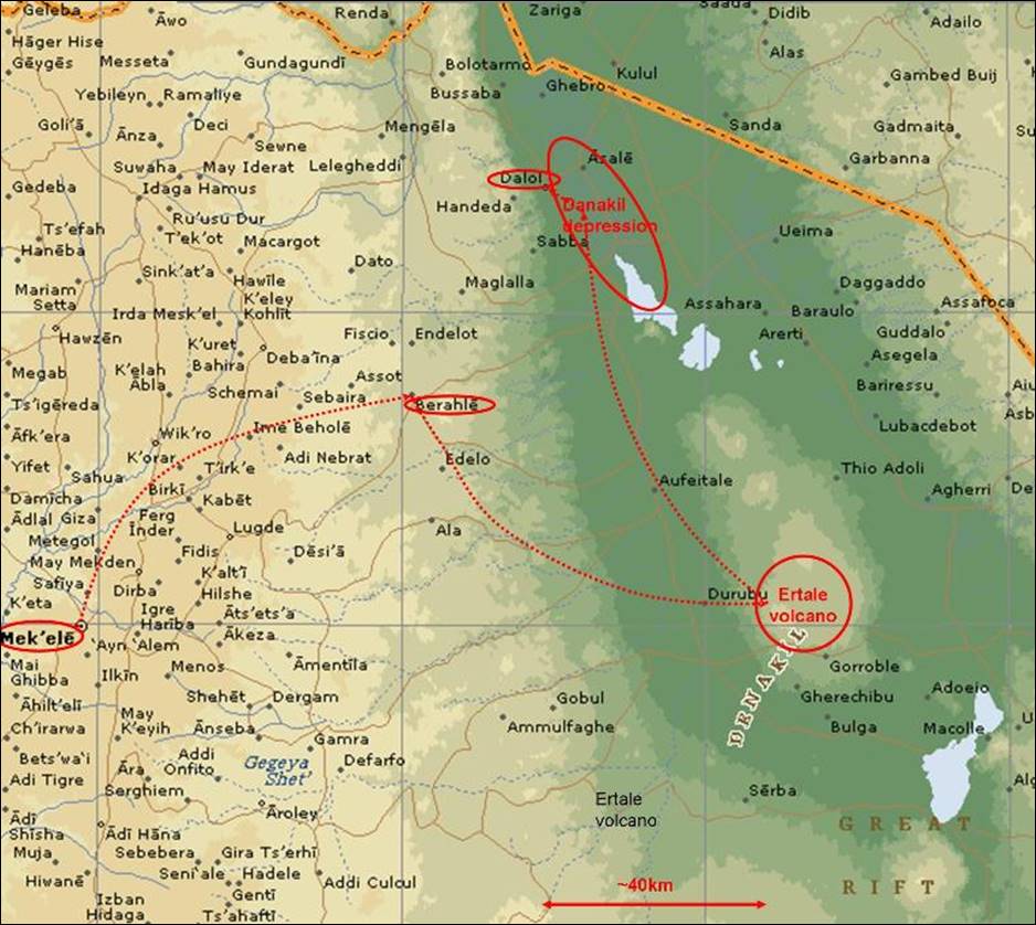
Overall, I spent a month hiking through
the Danakil desert, first from the highlands of Tigray to Berahle,
then to the Ertale (also spelled Erta
Ale) volcano, and finally to the salt lake depression (Lake Asele,
a.k.a. Karum and Asale) and
the Dallol (also spelled Dalol)
area further north. My initial plan had been to reach the Red Sea.
Unfortunately, despite the permit I had obtained in Mekele,
an army post in Dallol forbade me to proceed further
(probably due to the then ongoing civil war in the Eritrean region) and a small
military plane took me back to Mekele (where I was
questioned by the secret police for two days). Later, I lost all the photos I
had taken in Dallol.
The
I spent the entire summer of 1973 in
northern Ethiopia. After returning from the Danakil desert, I visited the port
of Massawa on the Red Sea (now the main port of Eritrea)
and went hiking in the Tigrayan highlands and later in the Semien mountains (also spelled Simien).
![]()
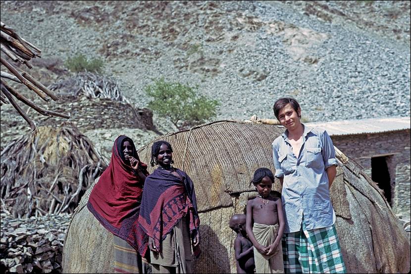
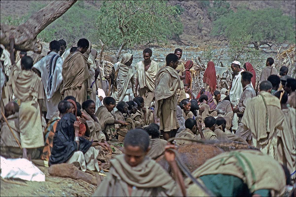
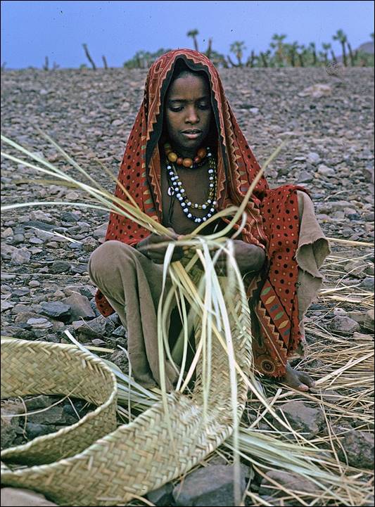
Market
between the highlands of Tigray and the Danakil desert.
This is a meeting place between Tigrayans and Danakils where I saw
for the first time the salt blocks brought back by caravans from Lake Asale in the Danakil depression (fourth photo below).

![]()
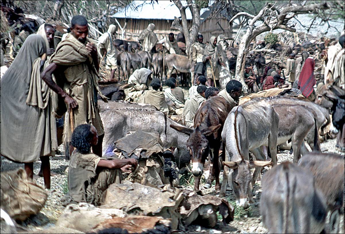
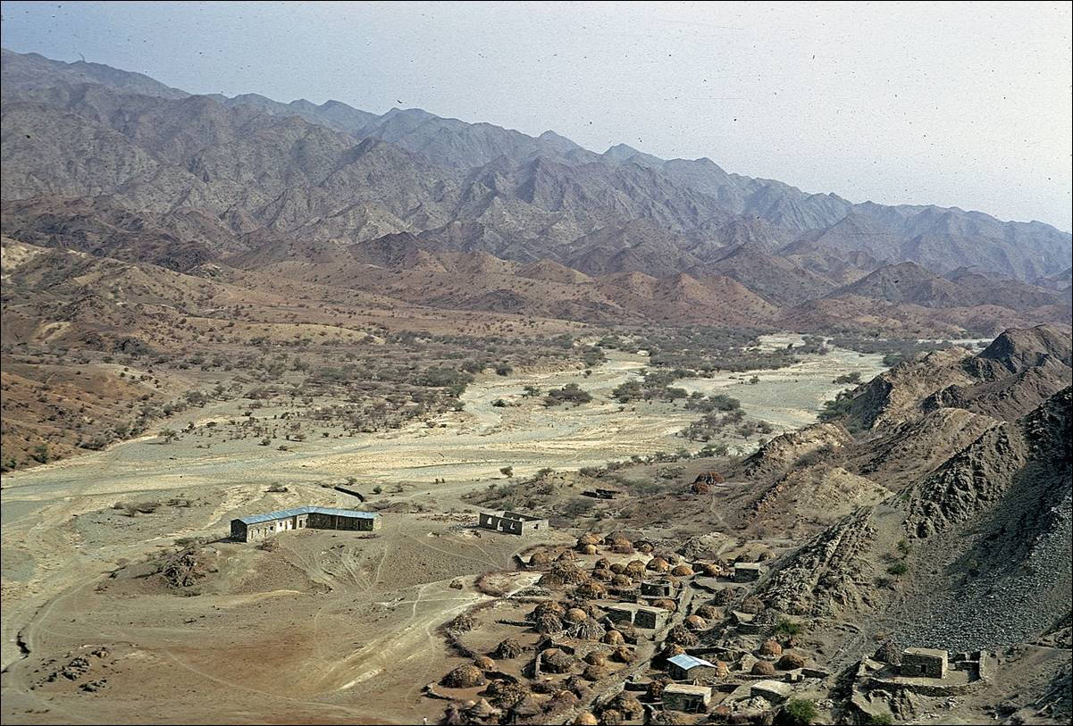
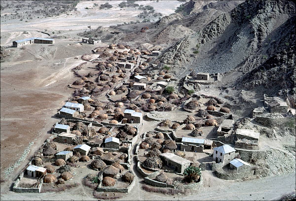
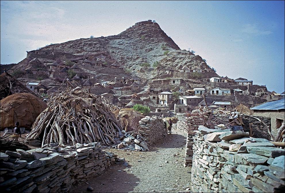
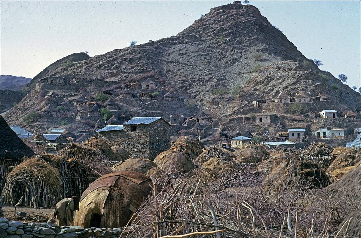
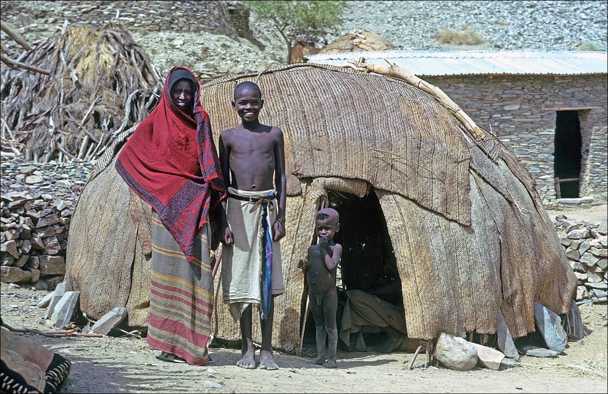
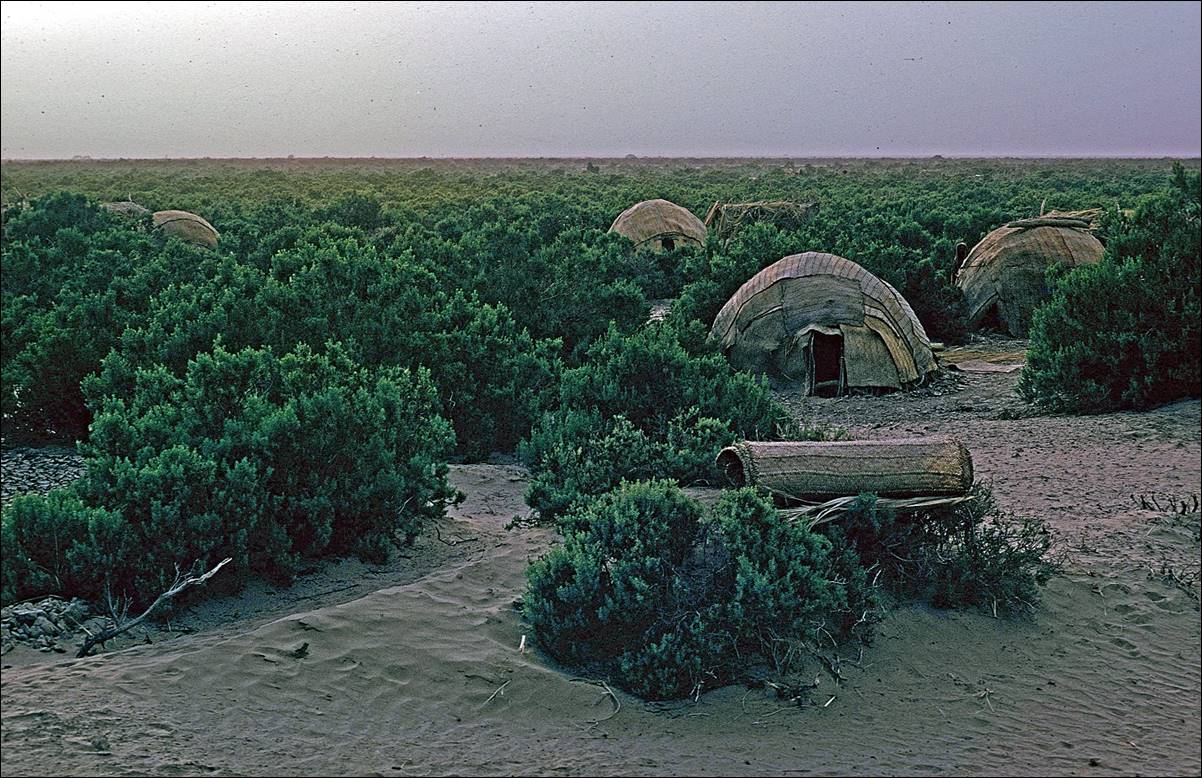
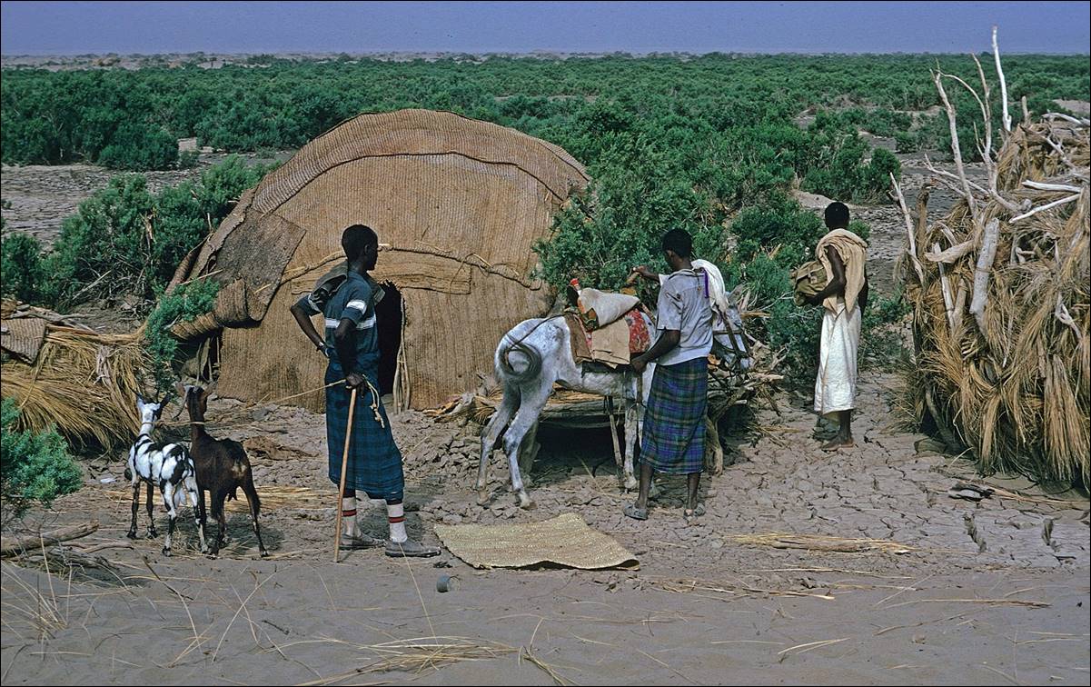
In the
village of Berahle.
Valley in which Berahle
is located.
Views of Berahle.
|
|
|
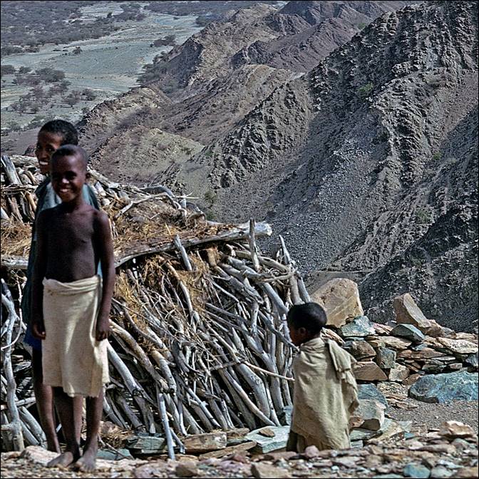
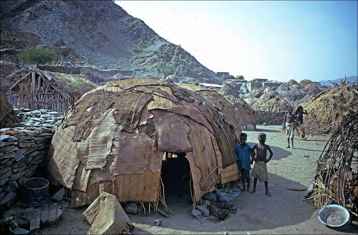
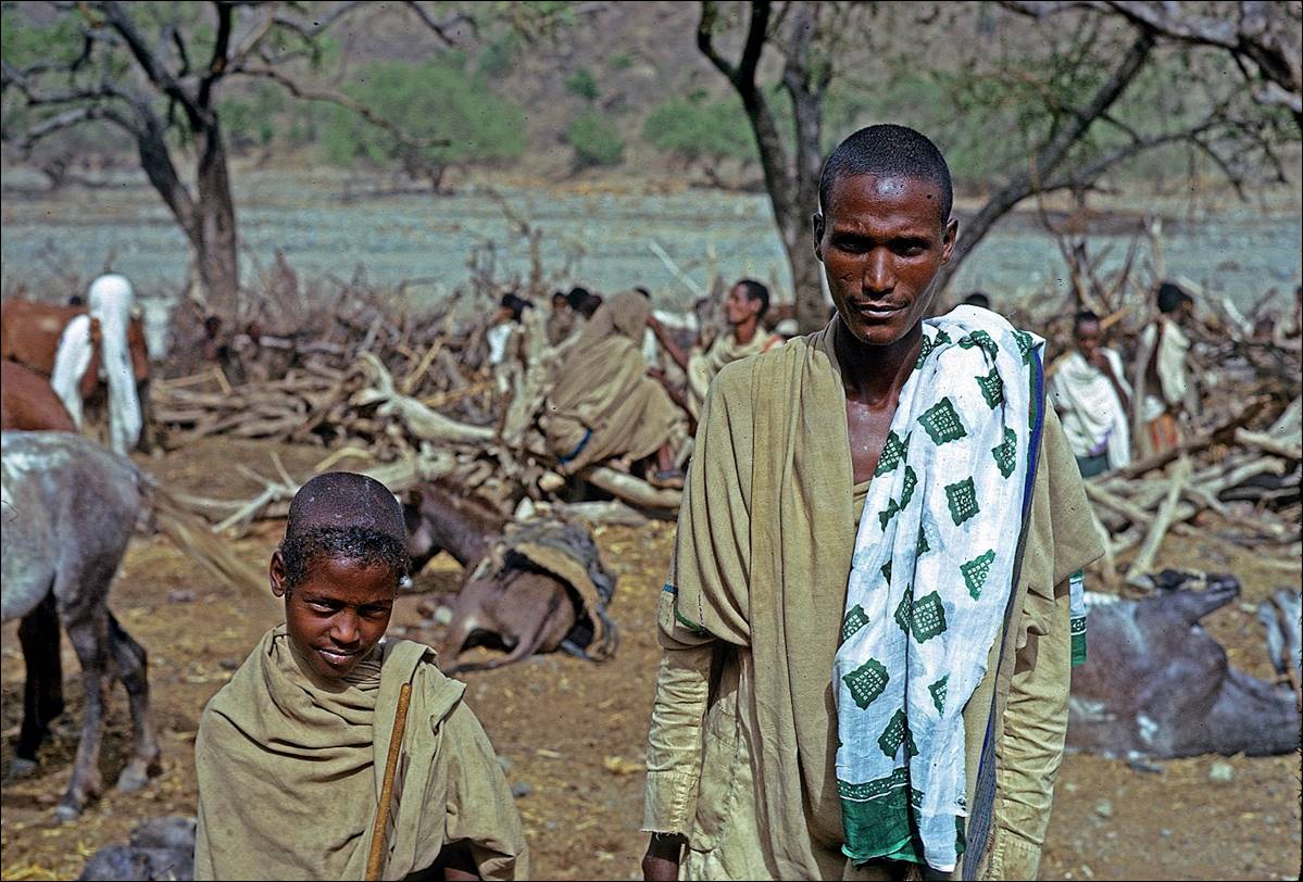
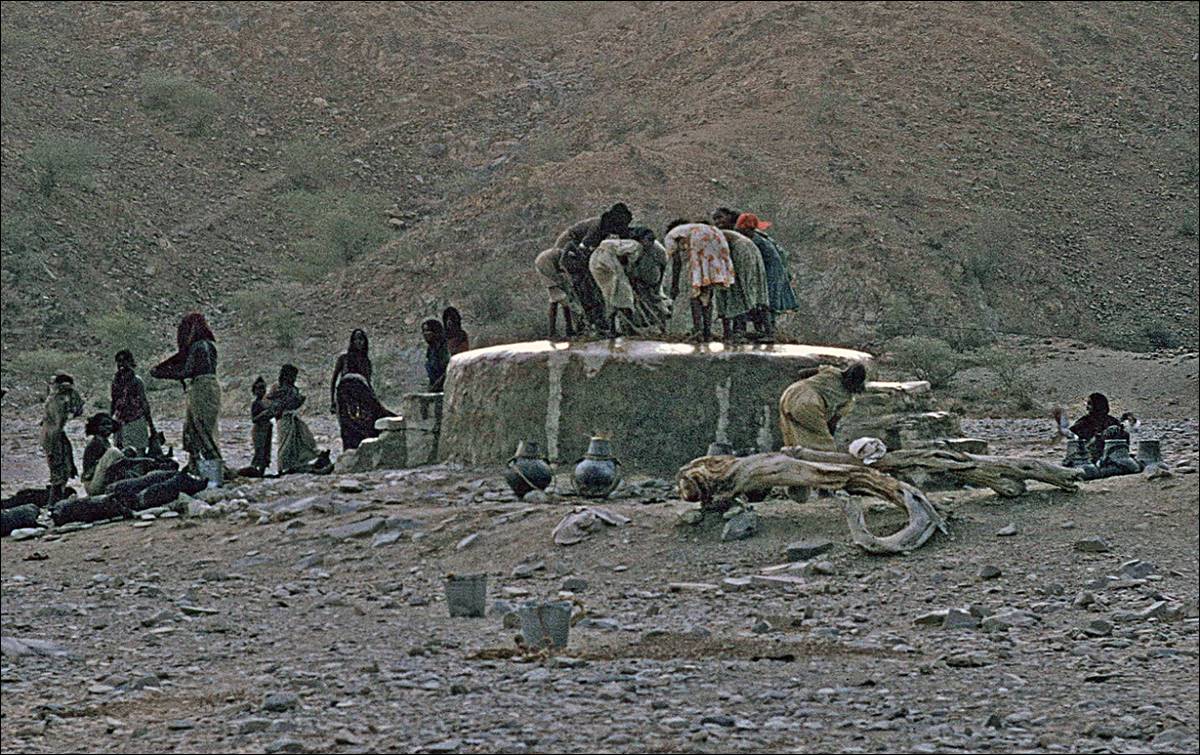
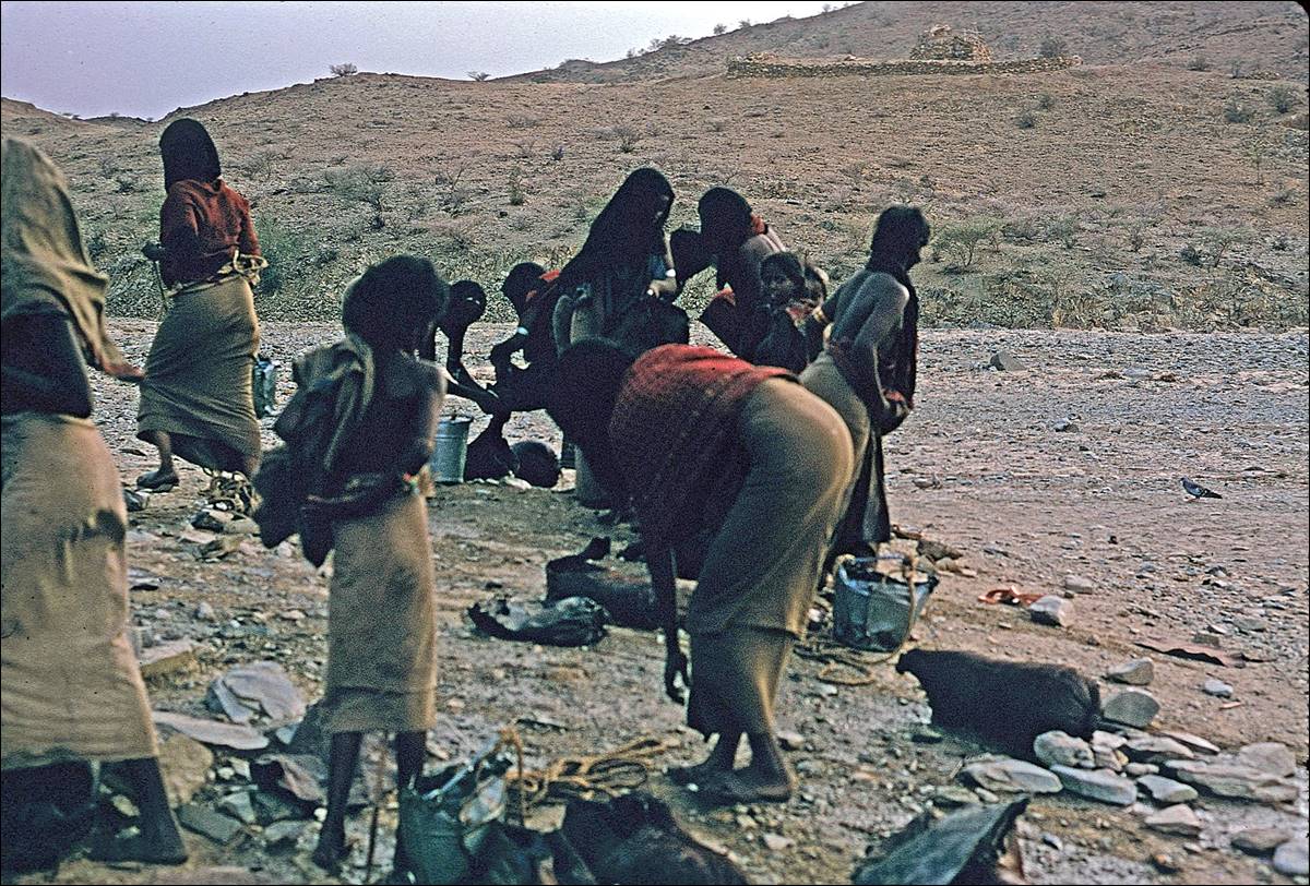
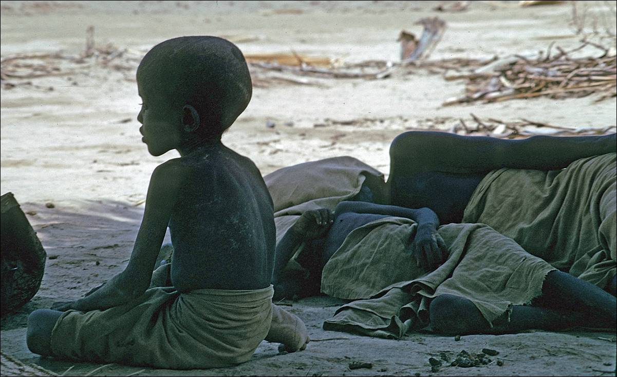
People of Berahle.

|
|
|
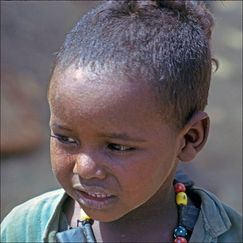
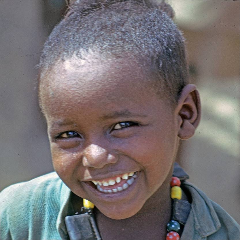
|
|
|
Women getting water at the village well.


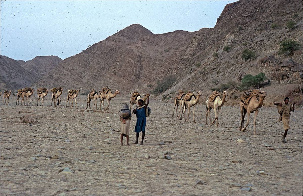
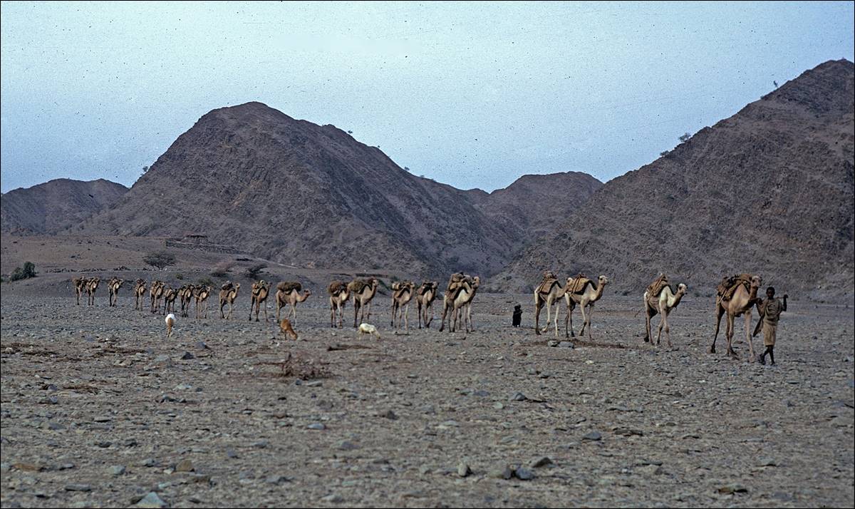
Caravan of camels leaving Berahle and heading toward Lake Asele.
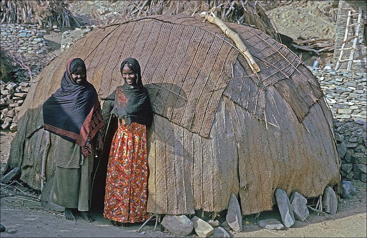
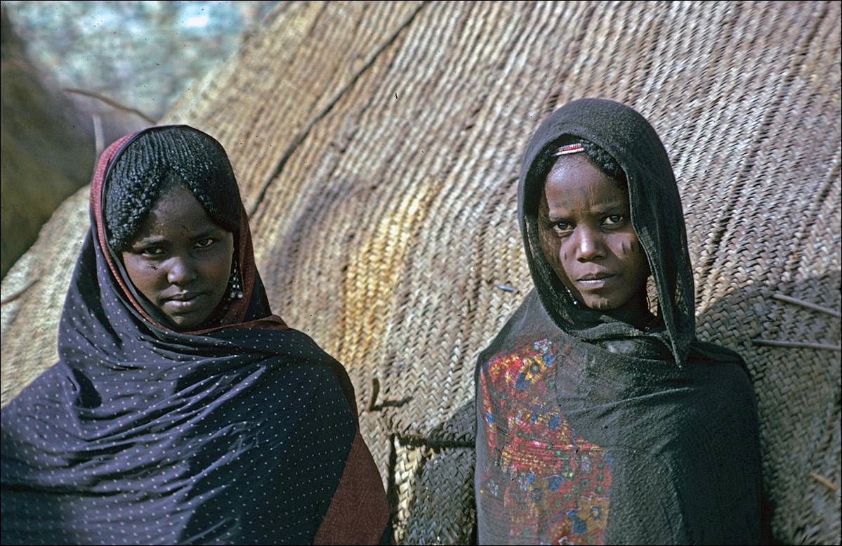
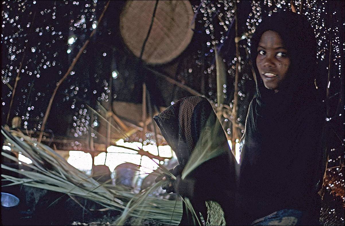
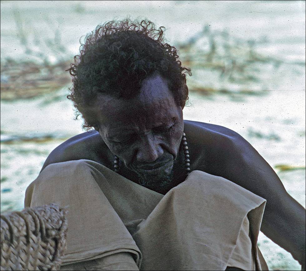
![]()
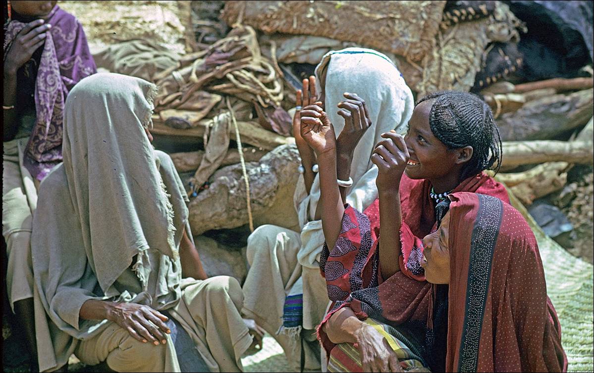
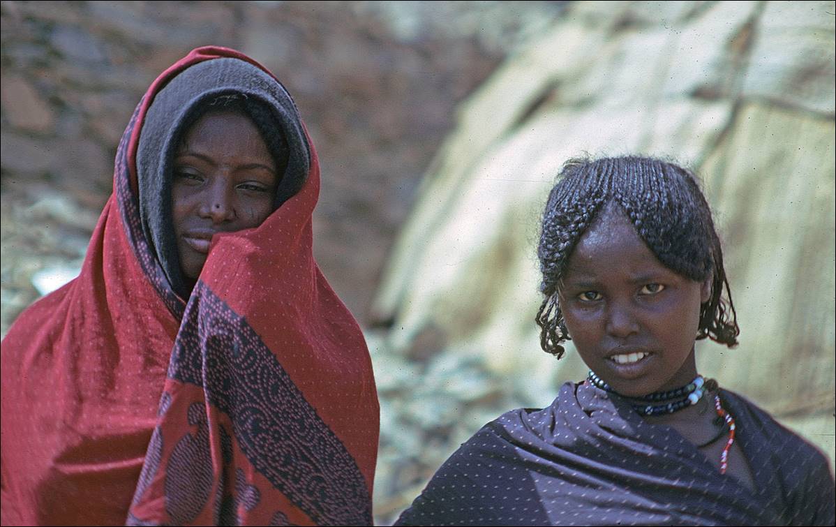
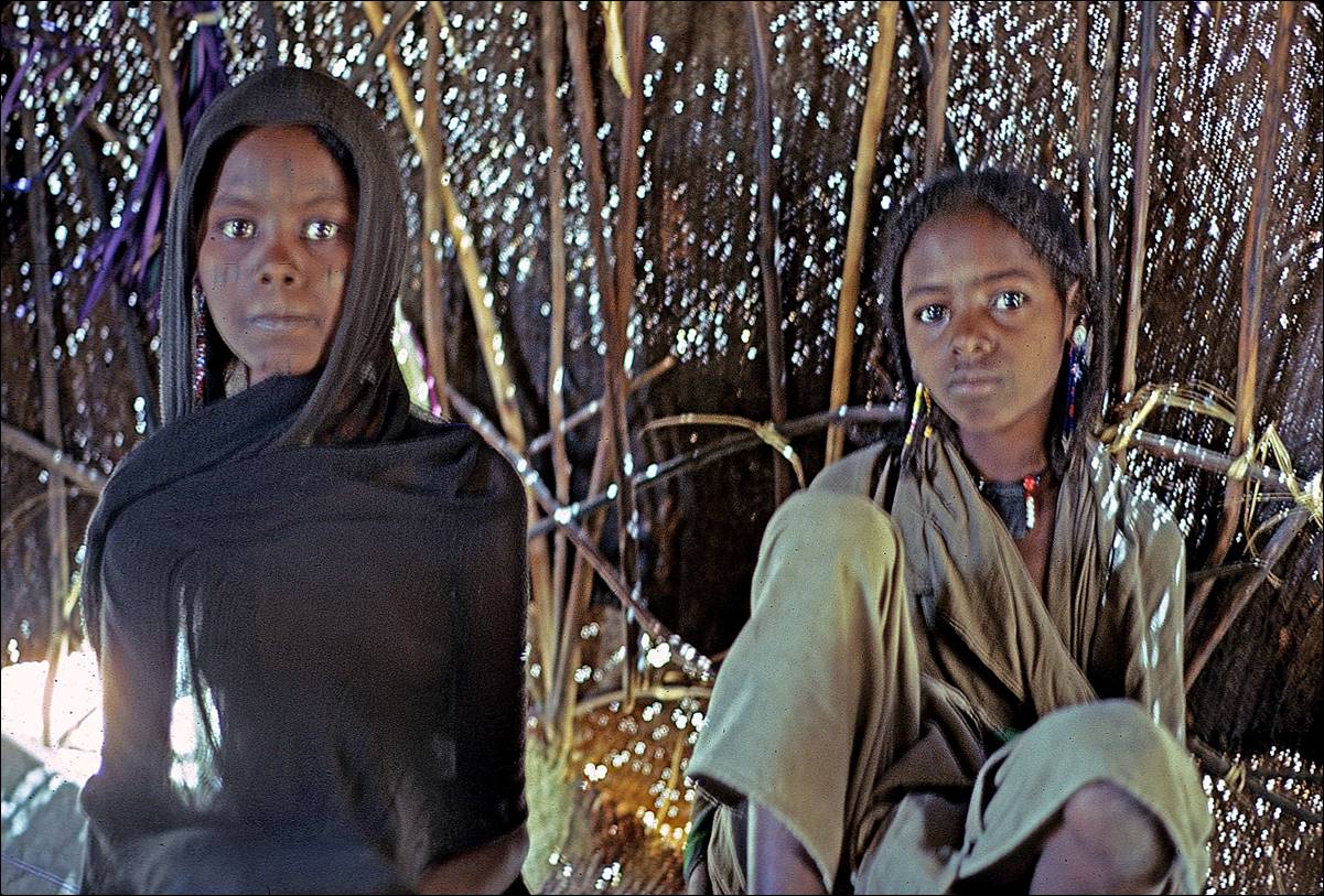
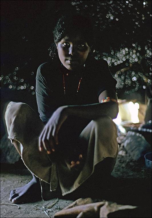
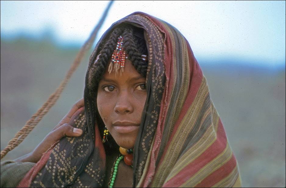
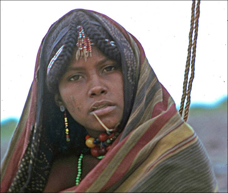
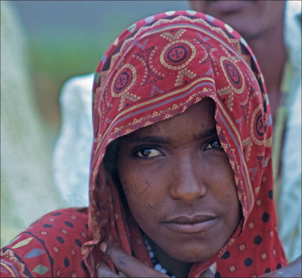
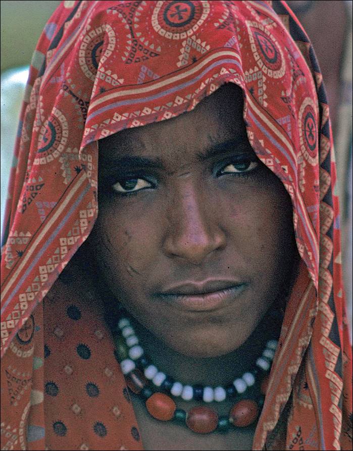
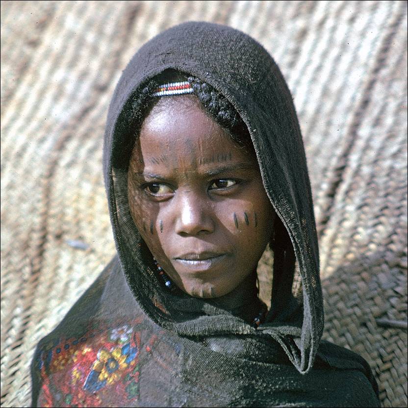
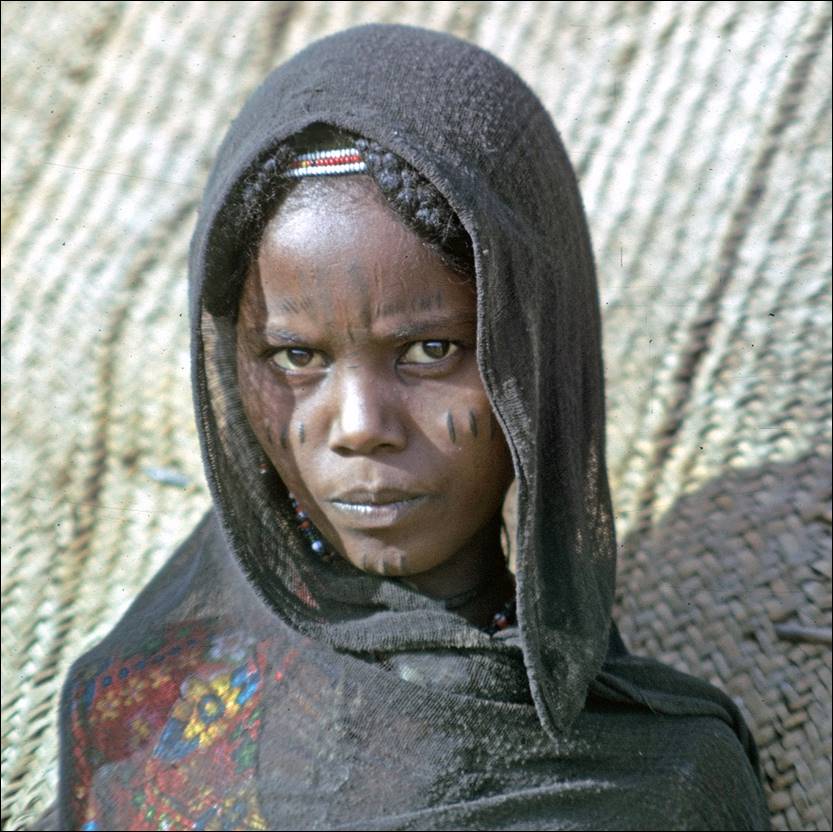
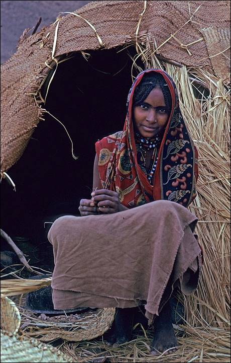
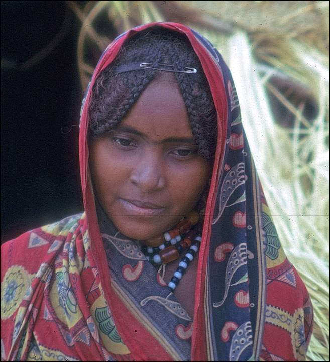
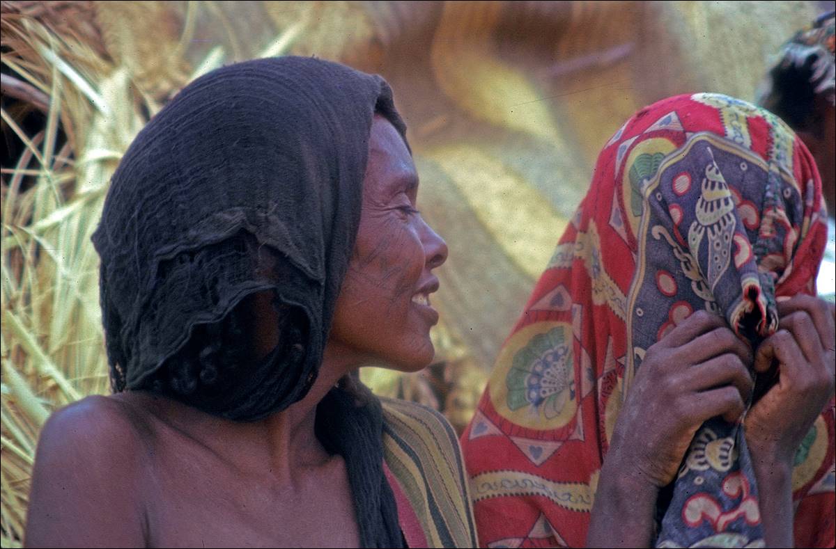
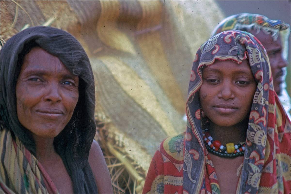
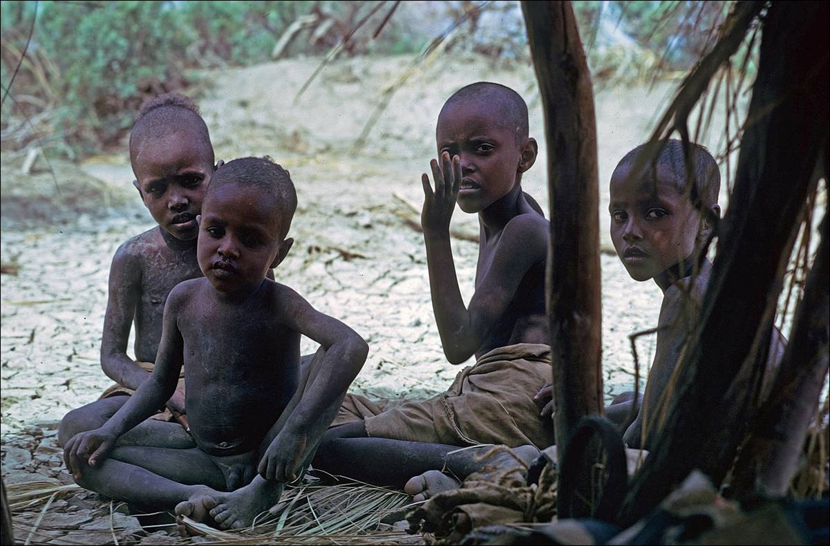
Danakil women.
Danakil men might be fierce, but women are extraordinarily
beautiful.
|
|
|
|
|
|
|
|
|
|
|
|
|
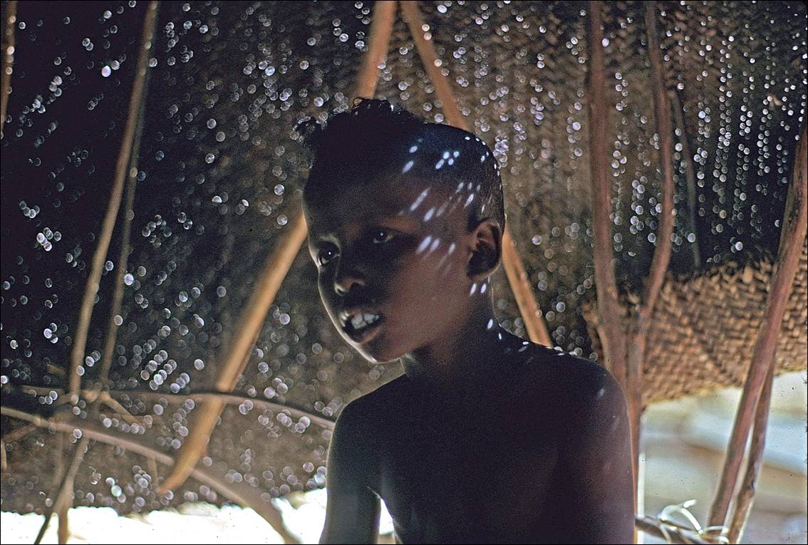
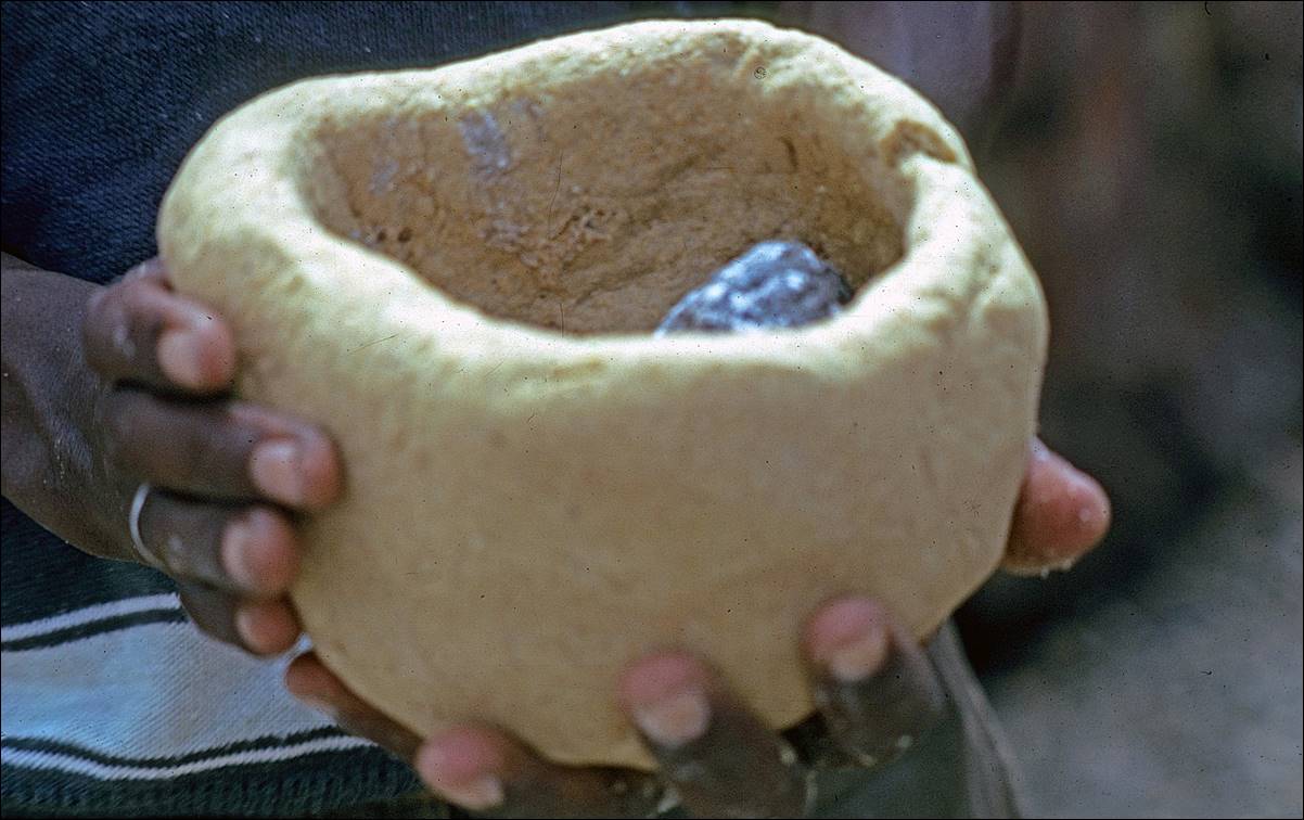
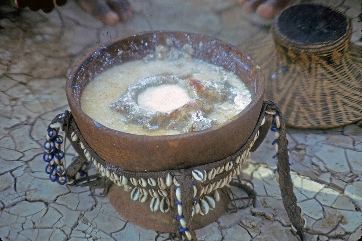
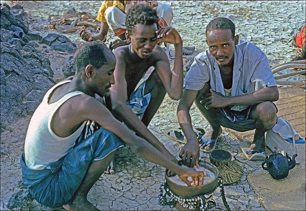
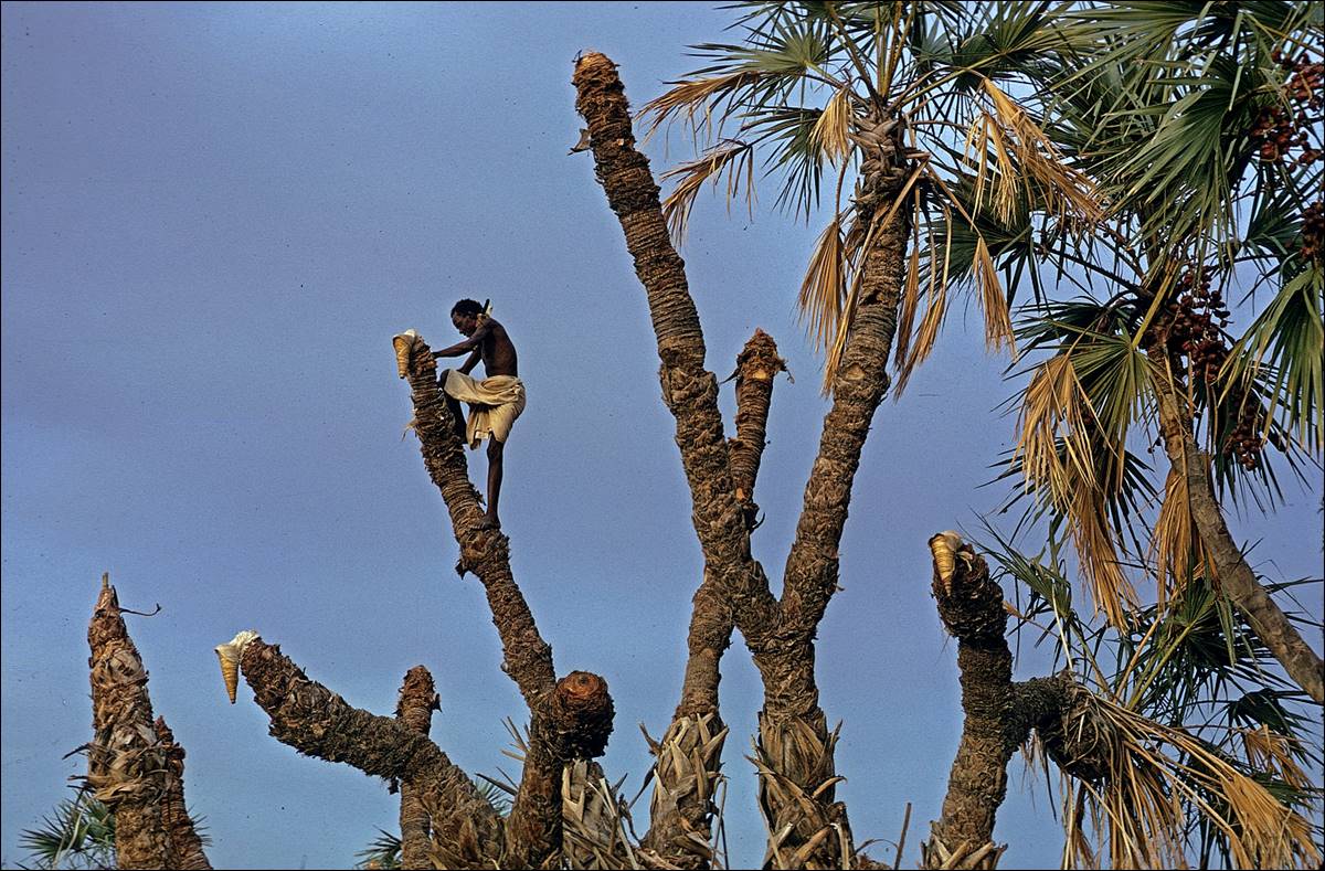
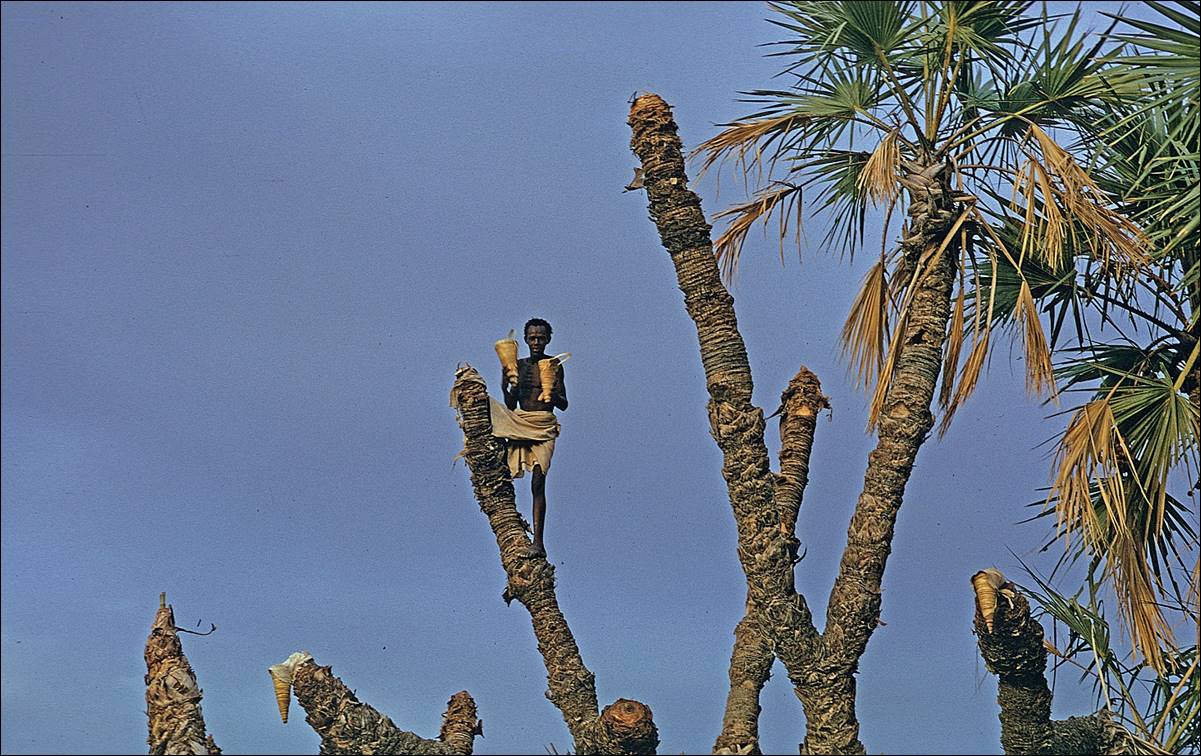
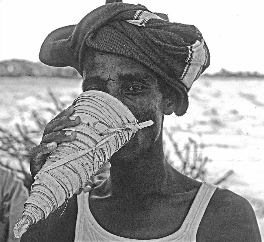
![]()
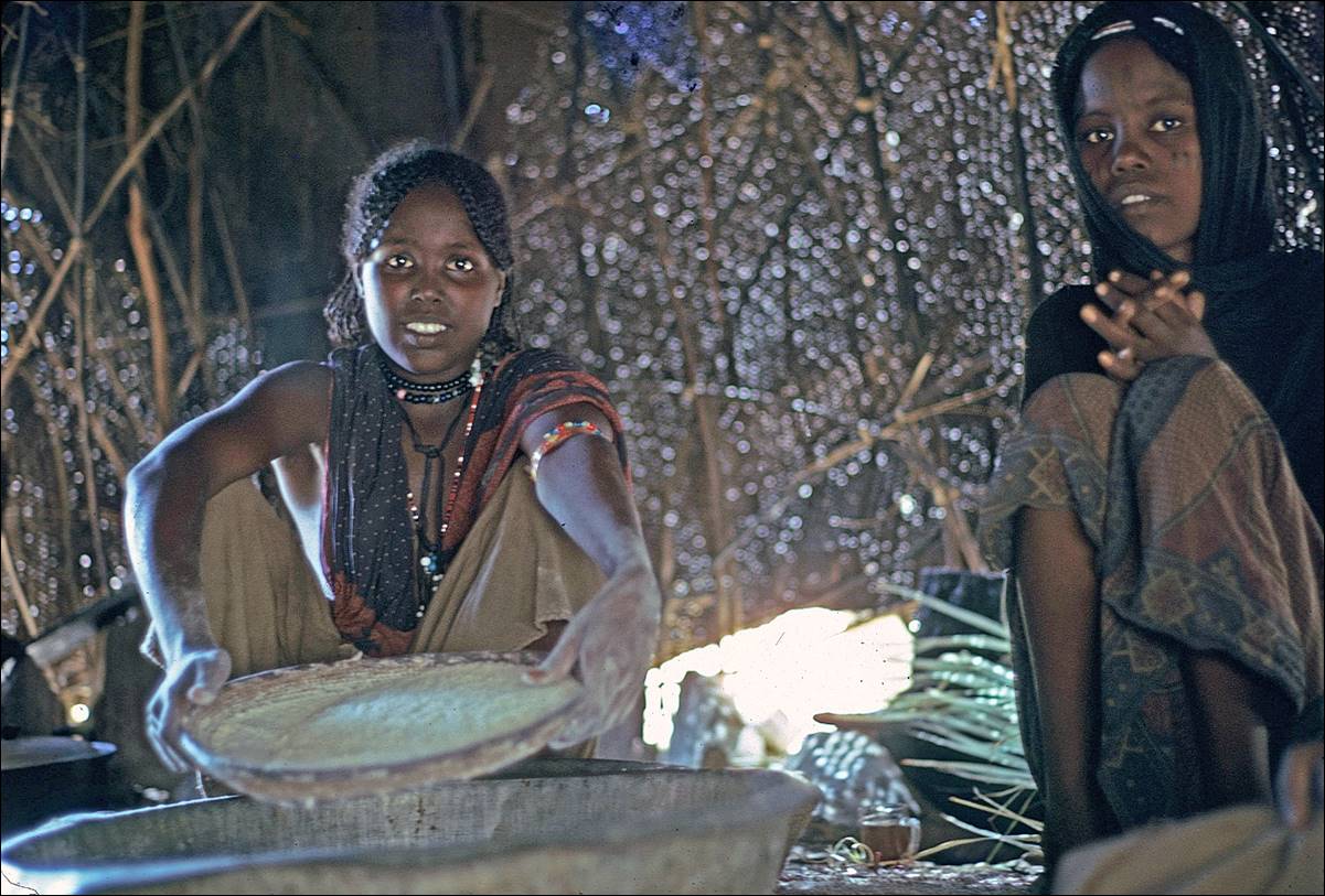
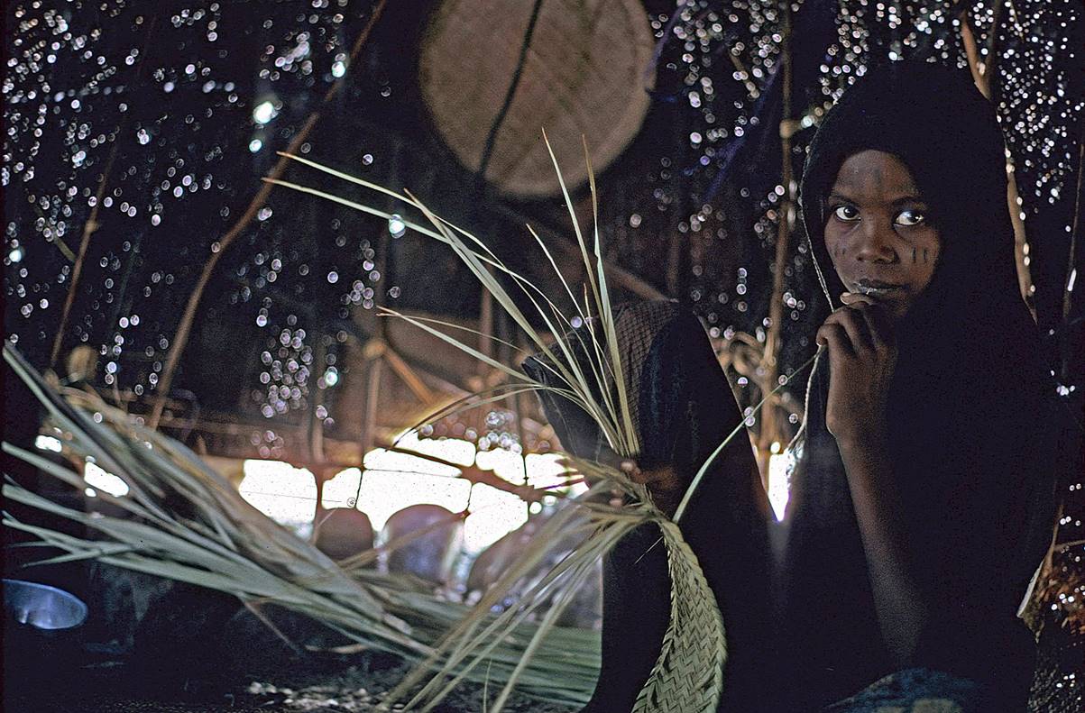
Food and drink in the desert.
Bread is made by forming a ball of dough with a very hot rock
inside and cooking the ball near hot ashes.
Danakil porridge made of milk and cereals.
Local alcohol obtained from palm trees (a good source of sugar).
![]()
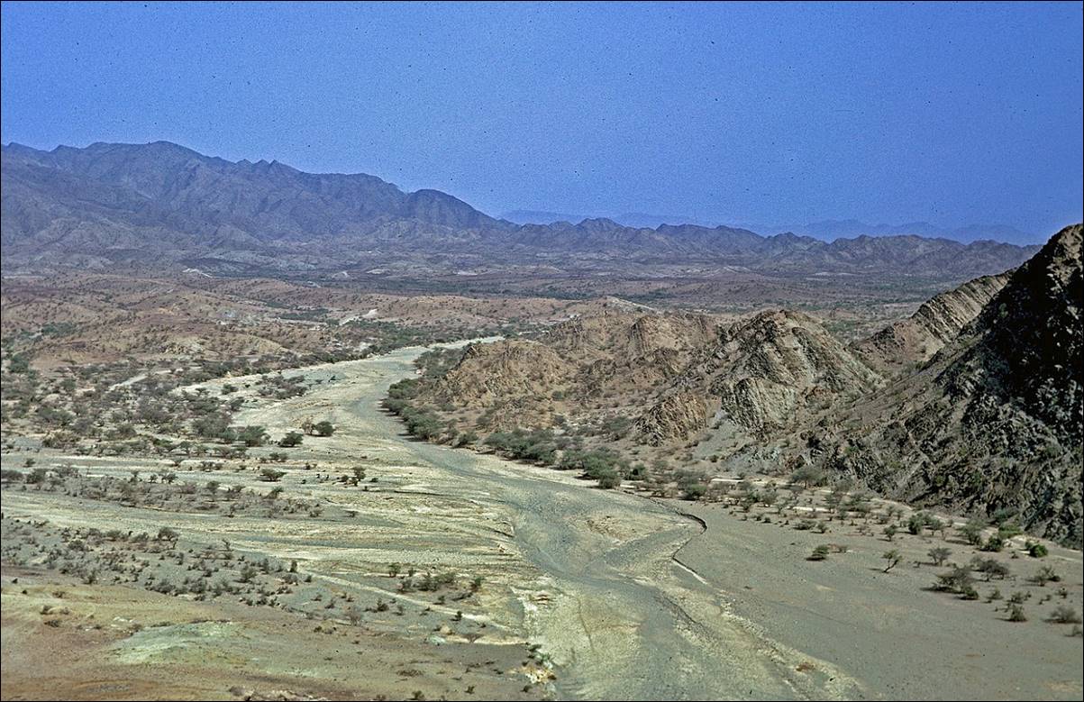
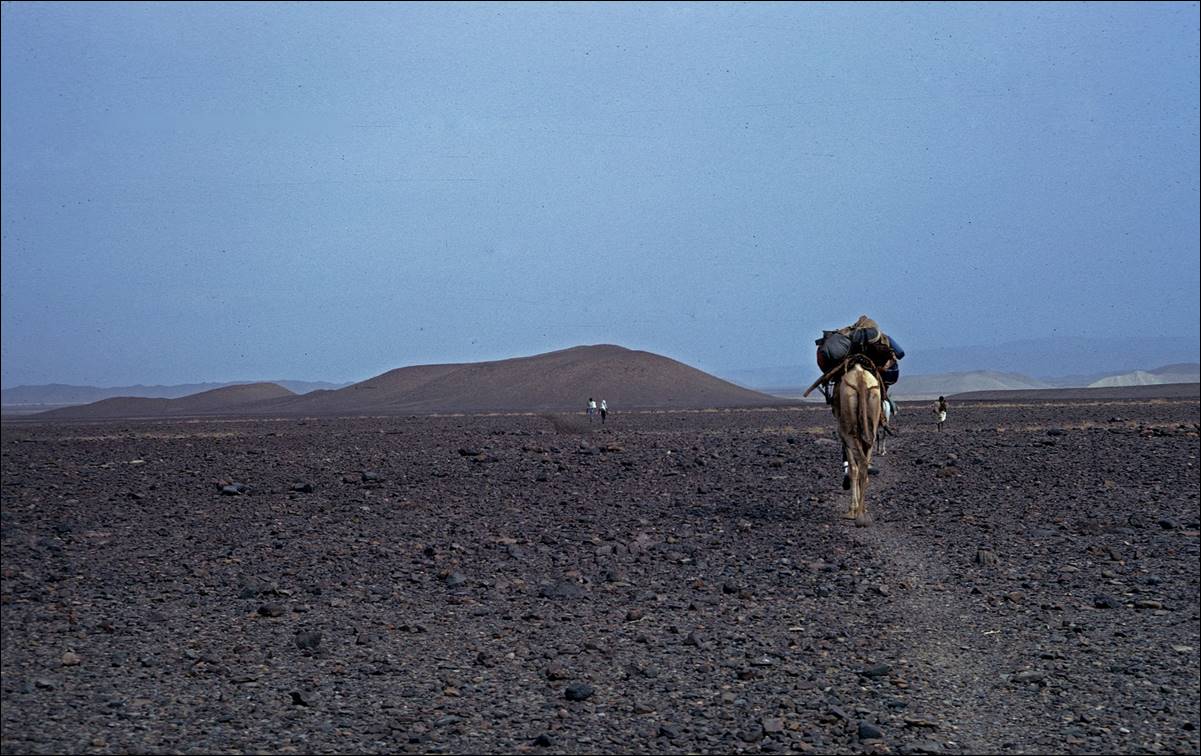
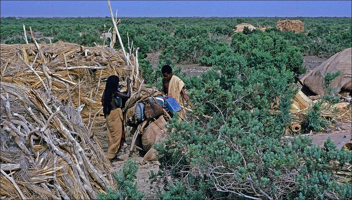
Between Berahle
and the Ertale volcano.
My camel loaded with food, water, and bags when we left Berahle. The donkey was also carrying its good share of
bags.
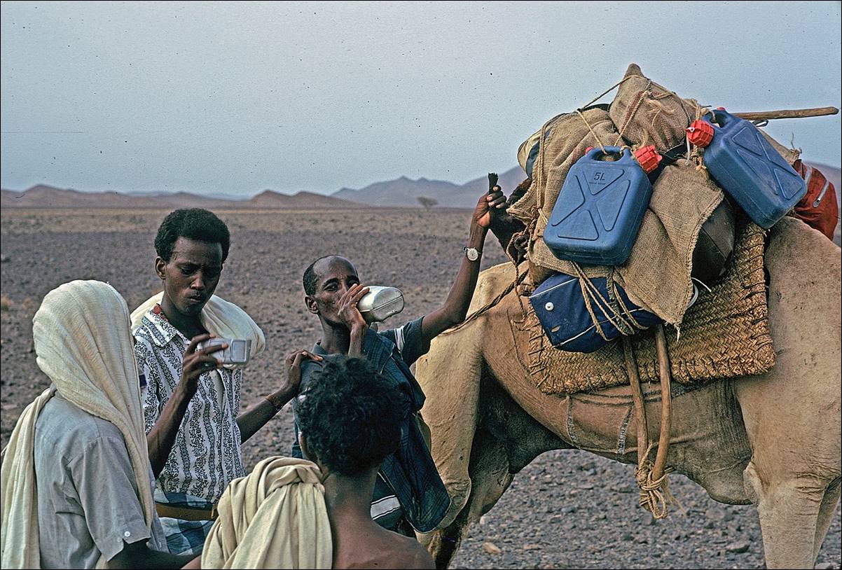
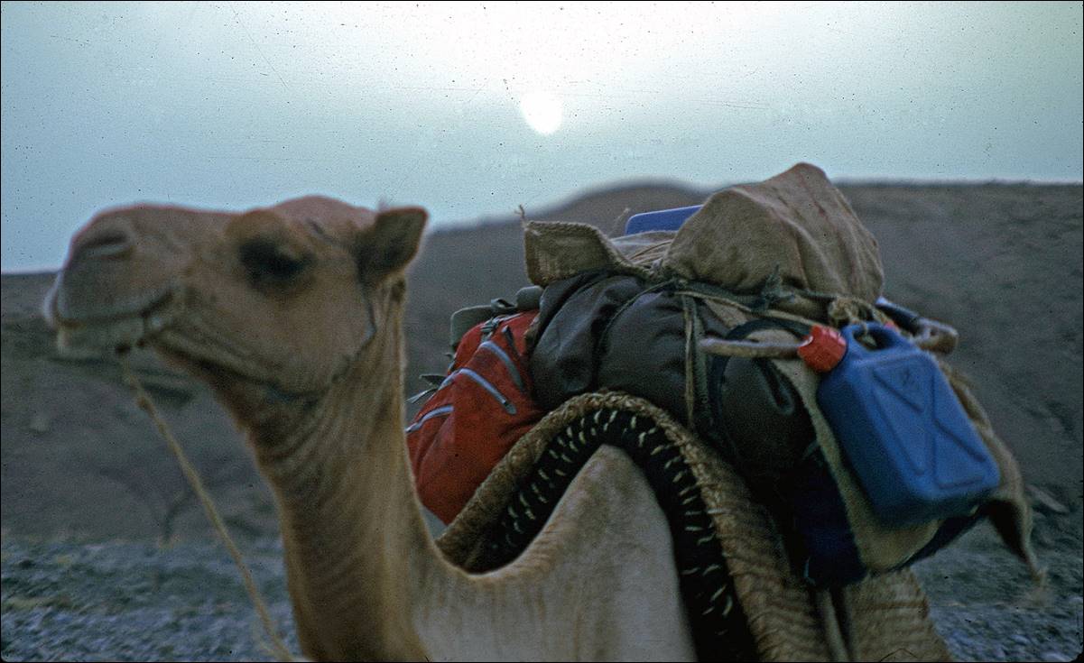
Typical landscapes along the way.

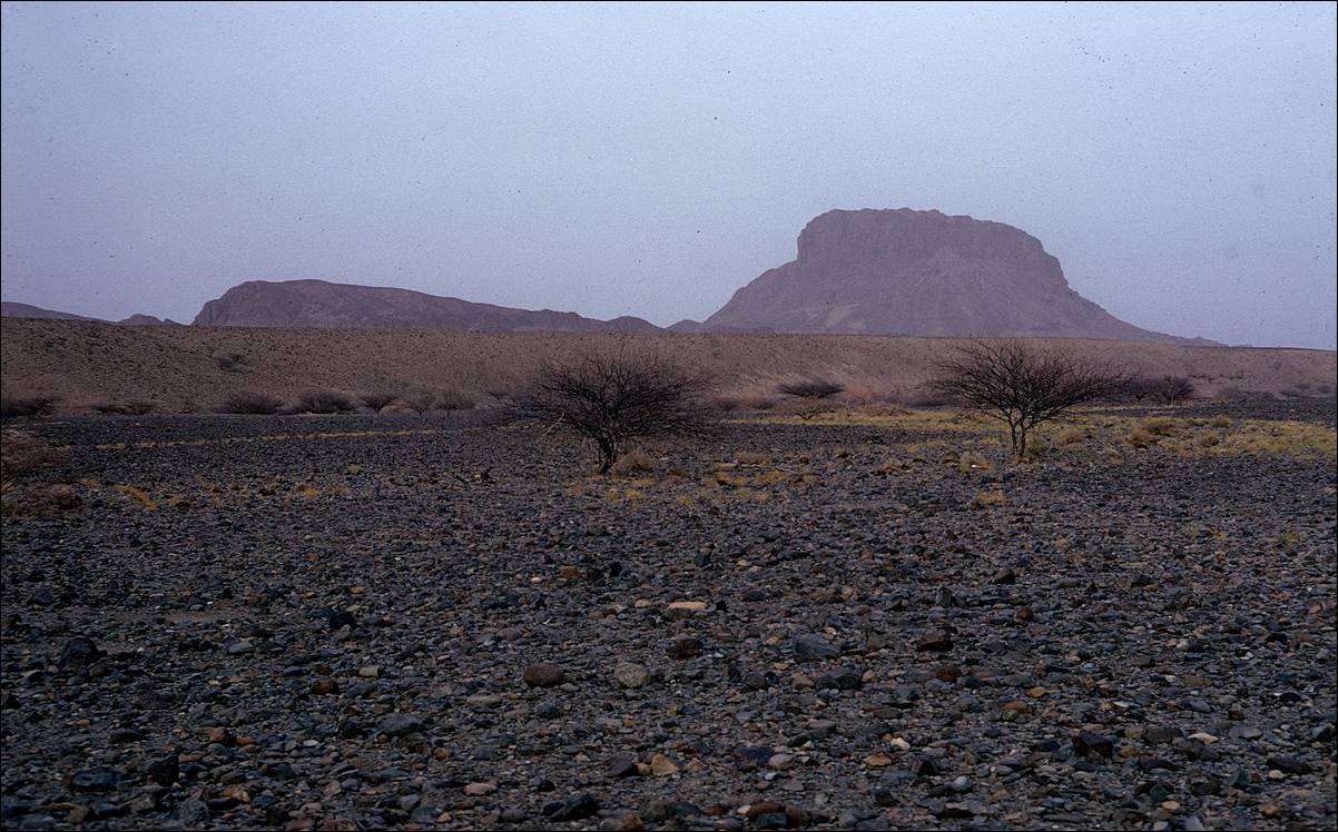
Graves.
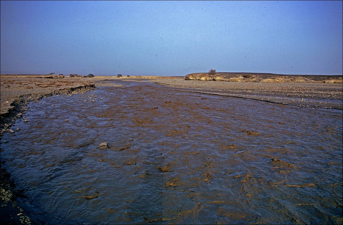
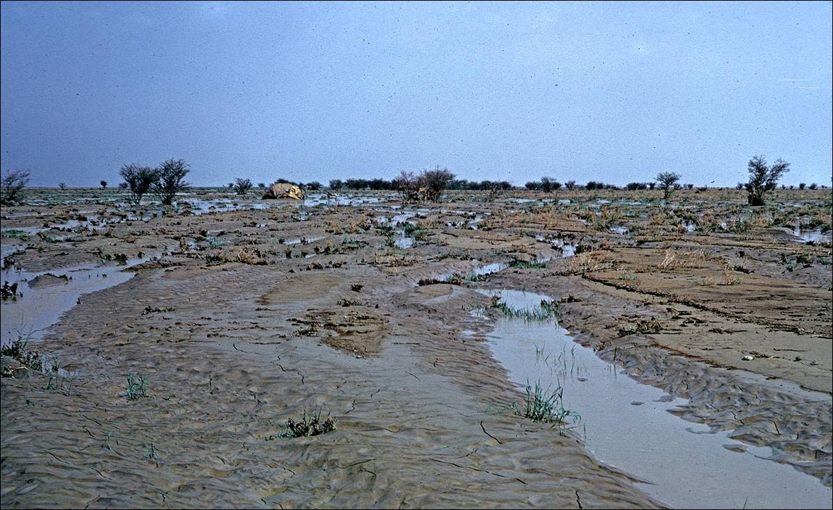
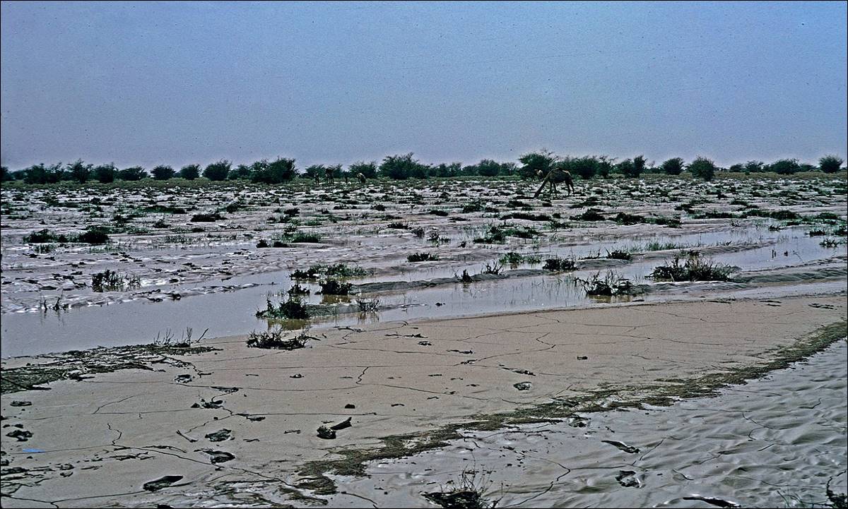
Thanks to the rainy summer season on the Tigrayan
highlands, we crossed a few streams.
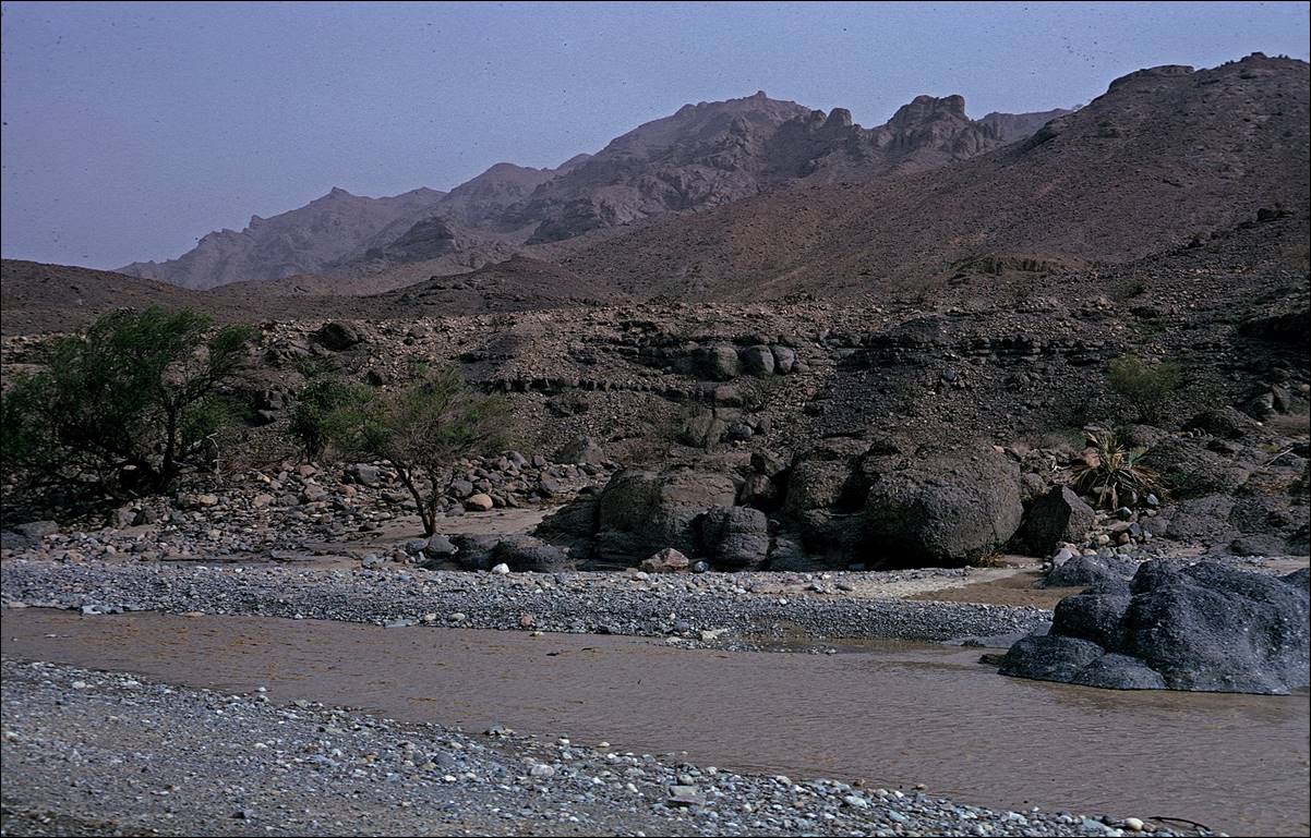
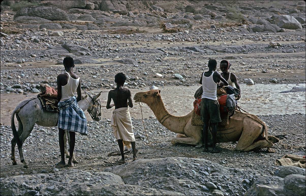
Although these streams helped us to replenish our water reserves,
sometimes torrential rain in the highlands caused flashfloods in the desert.
The river below was a gentle stream a few minutes before I took this photo.
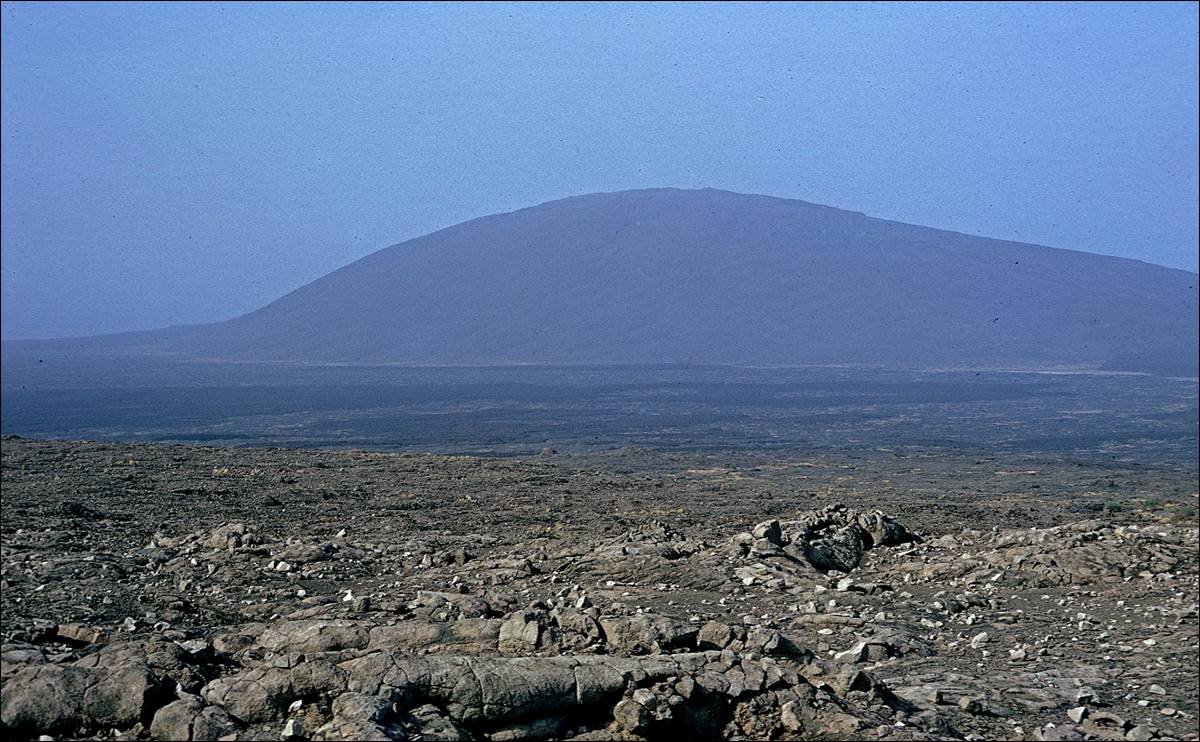
![]()
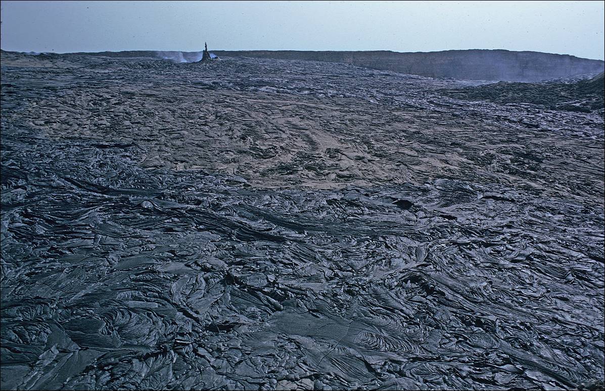
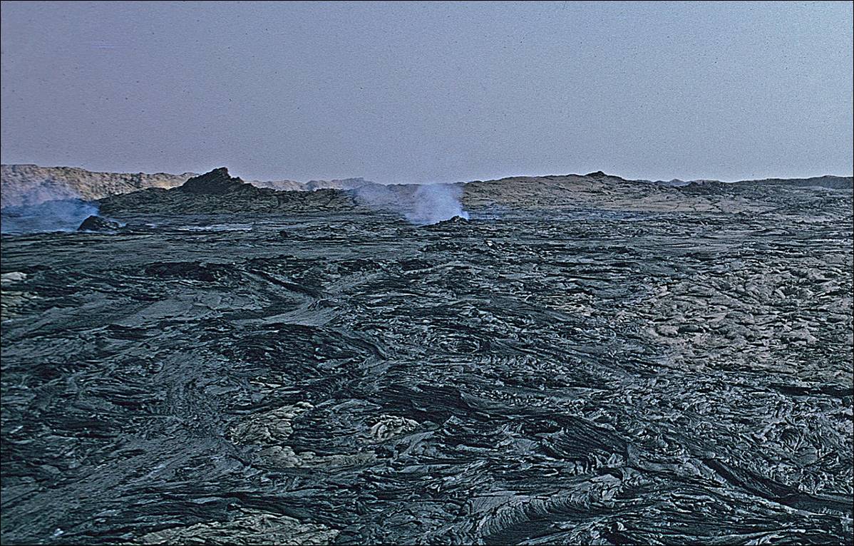
Reaching the Ertale volcano.
![]()
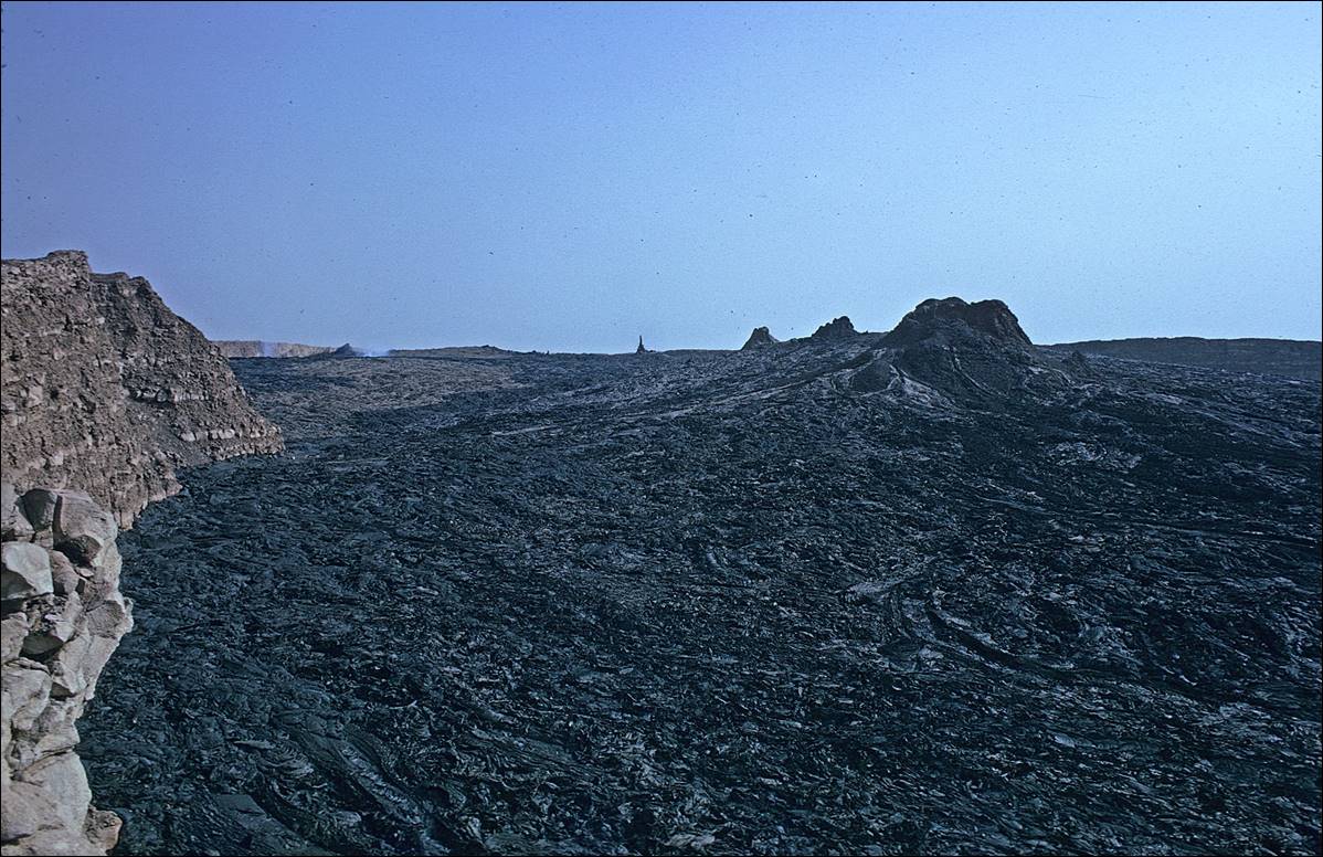
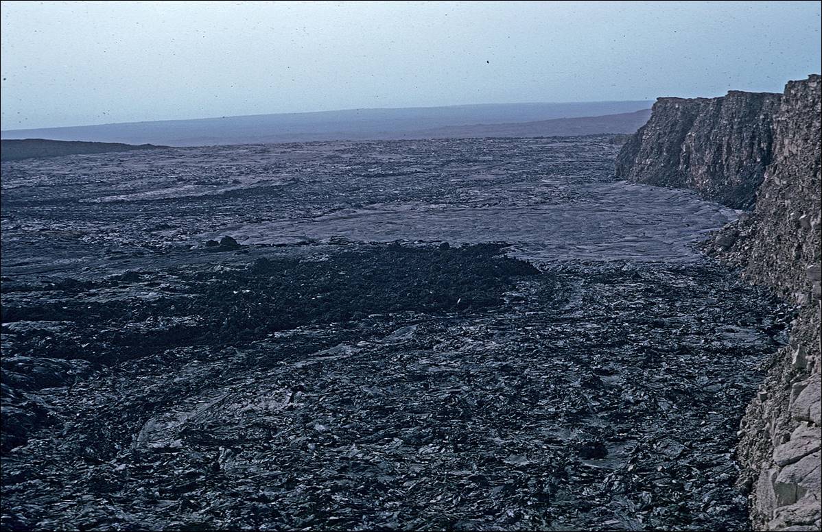
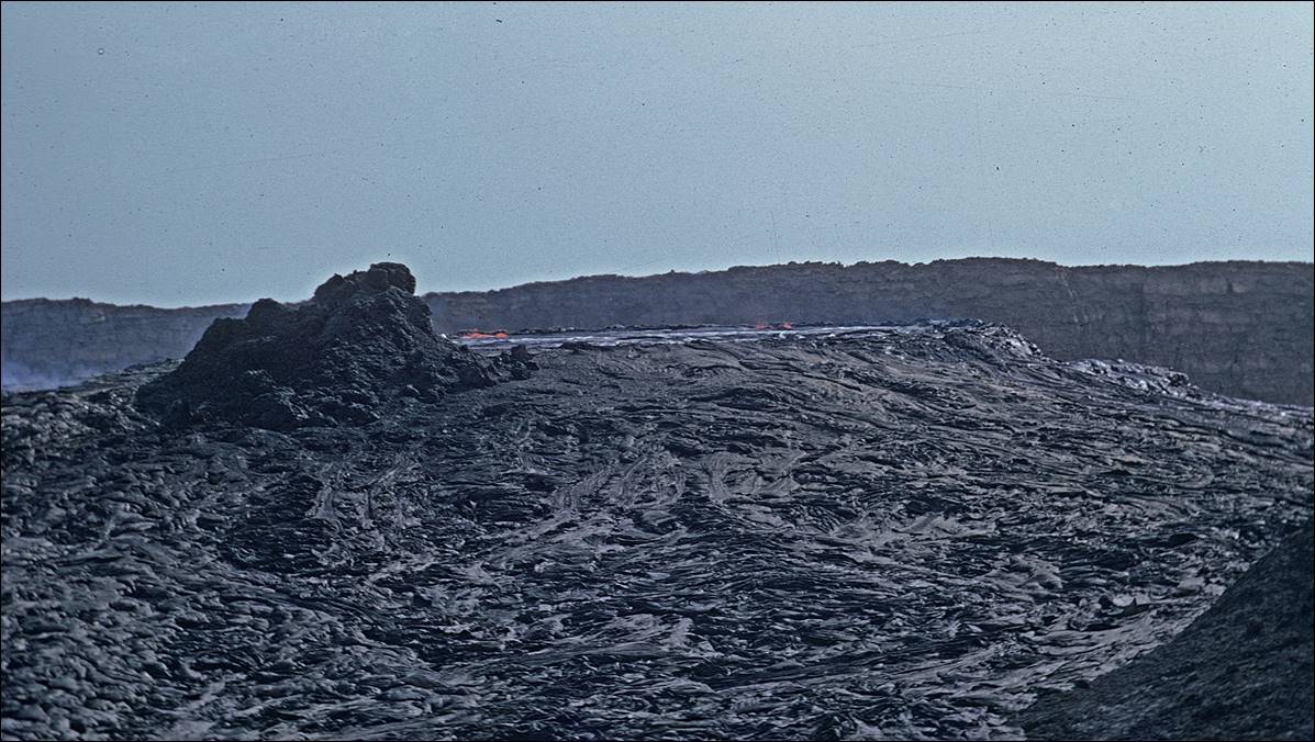
The caldera of the Ertale volcano.
My guide and I climbed to the rim of the crater of Ertale (approximatively 600m in elevation), starting early
in the morning.
Views of the impressive Ertale caldera.

![]()
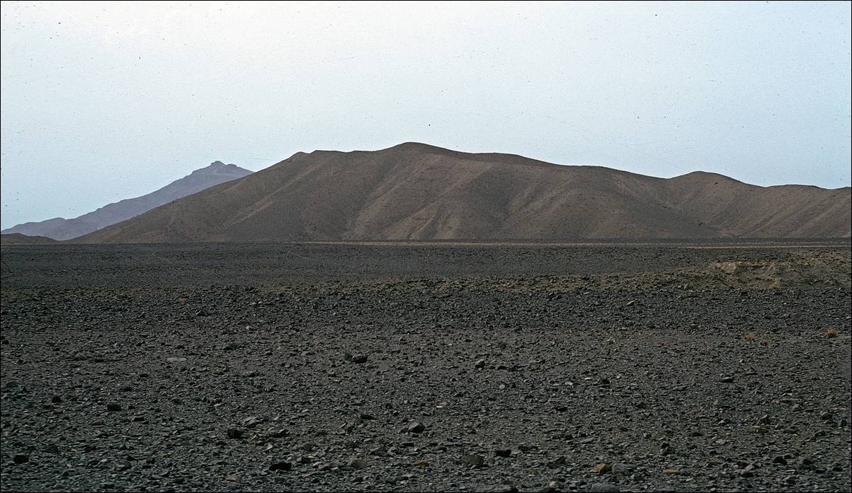
The area at the base of Ertale.
During the wet summer season in the Tigrayan
highlands, water streams converge toward the foot of the Ertale
volcano to create a muddy terrain through which it is very unpleasant to hike.
Not only the ground is soft and muddy, but hardened and spiky plant stems point
upward, hidden beneath the mud. And there are many snakes.
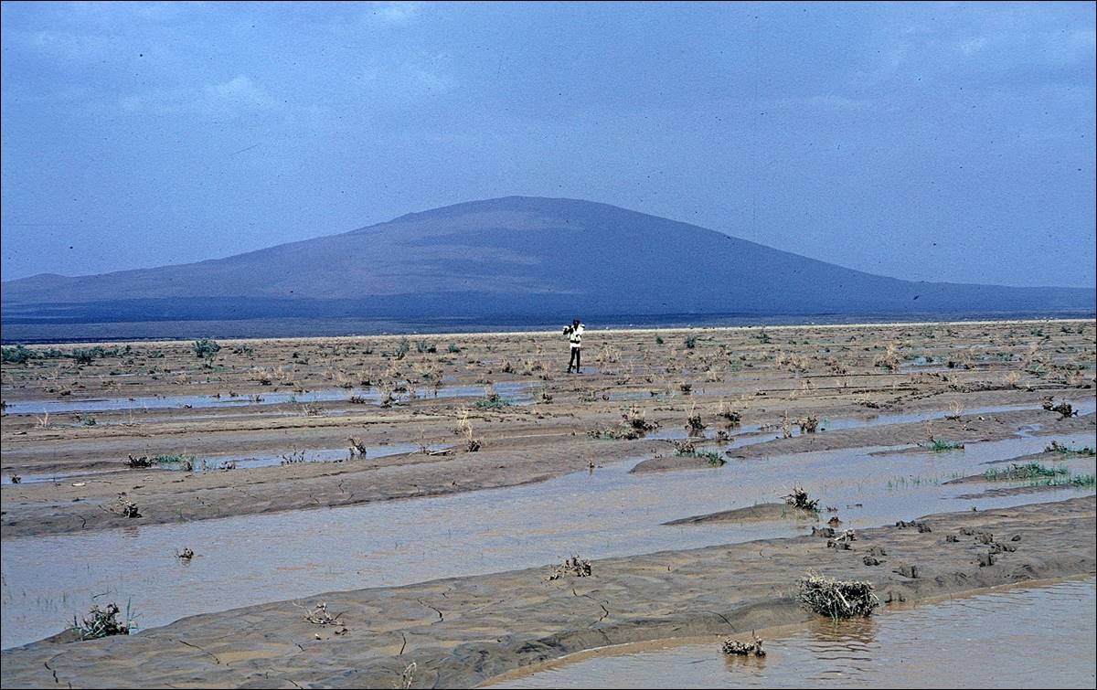
Further away from the volcano, the mud gets drier and partially
covered by shrubs. We spent a couple of nights in this area with local herders.
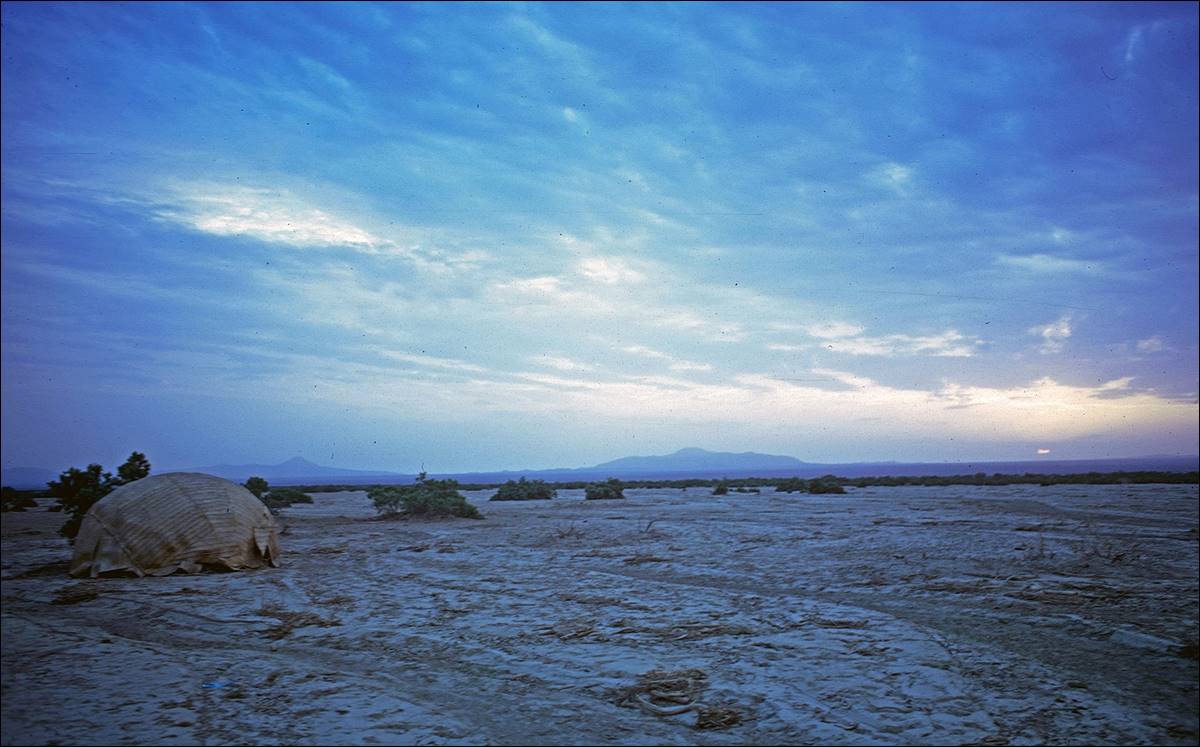
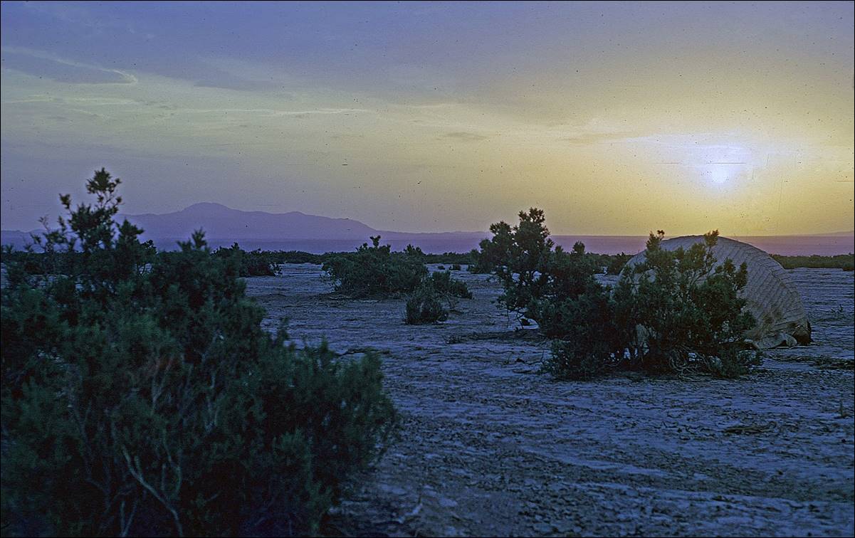

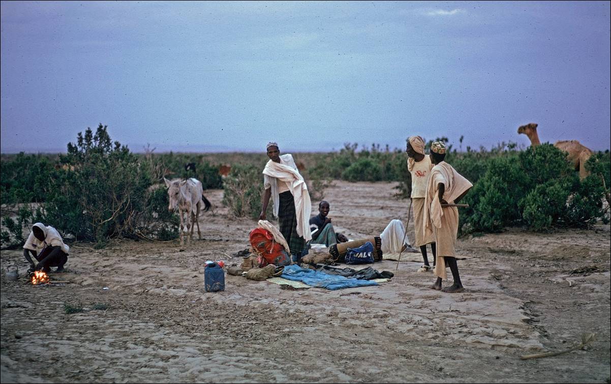
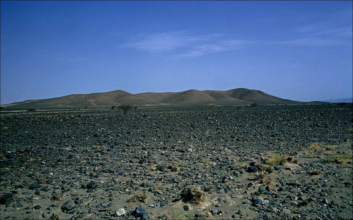
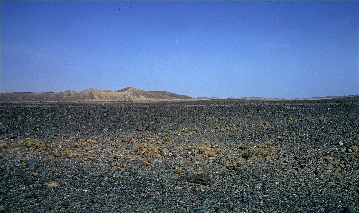
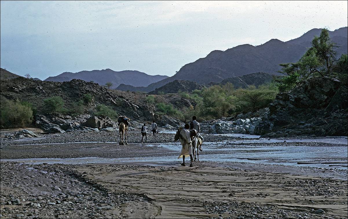
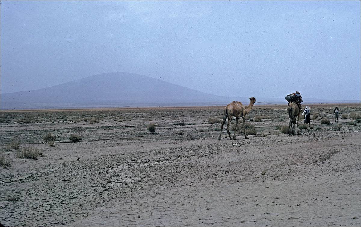
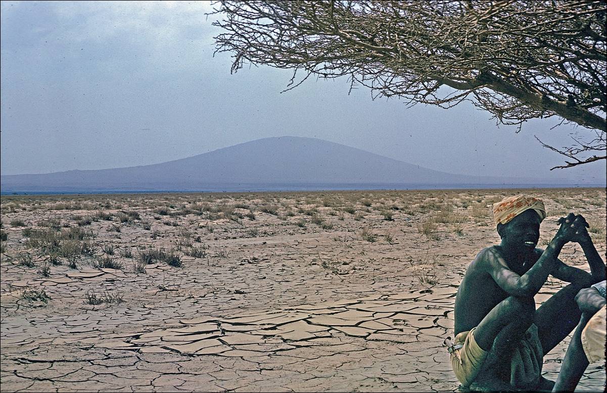
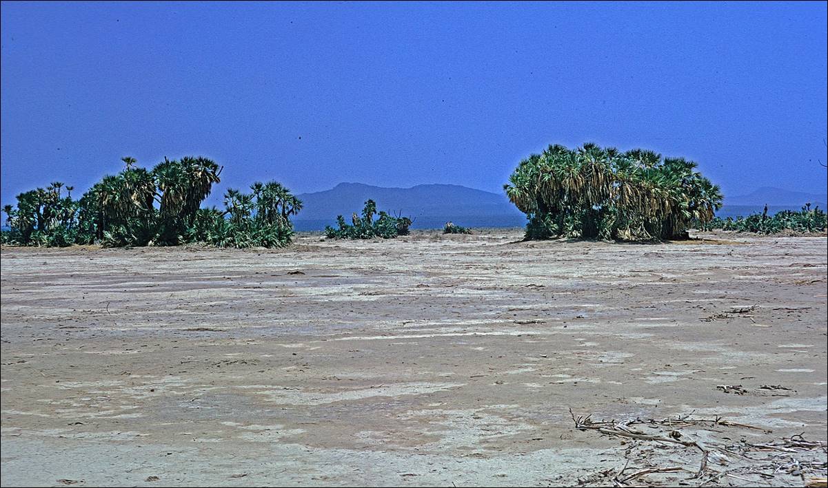
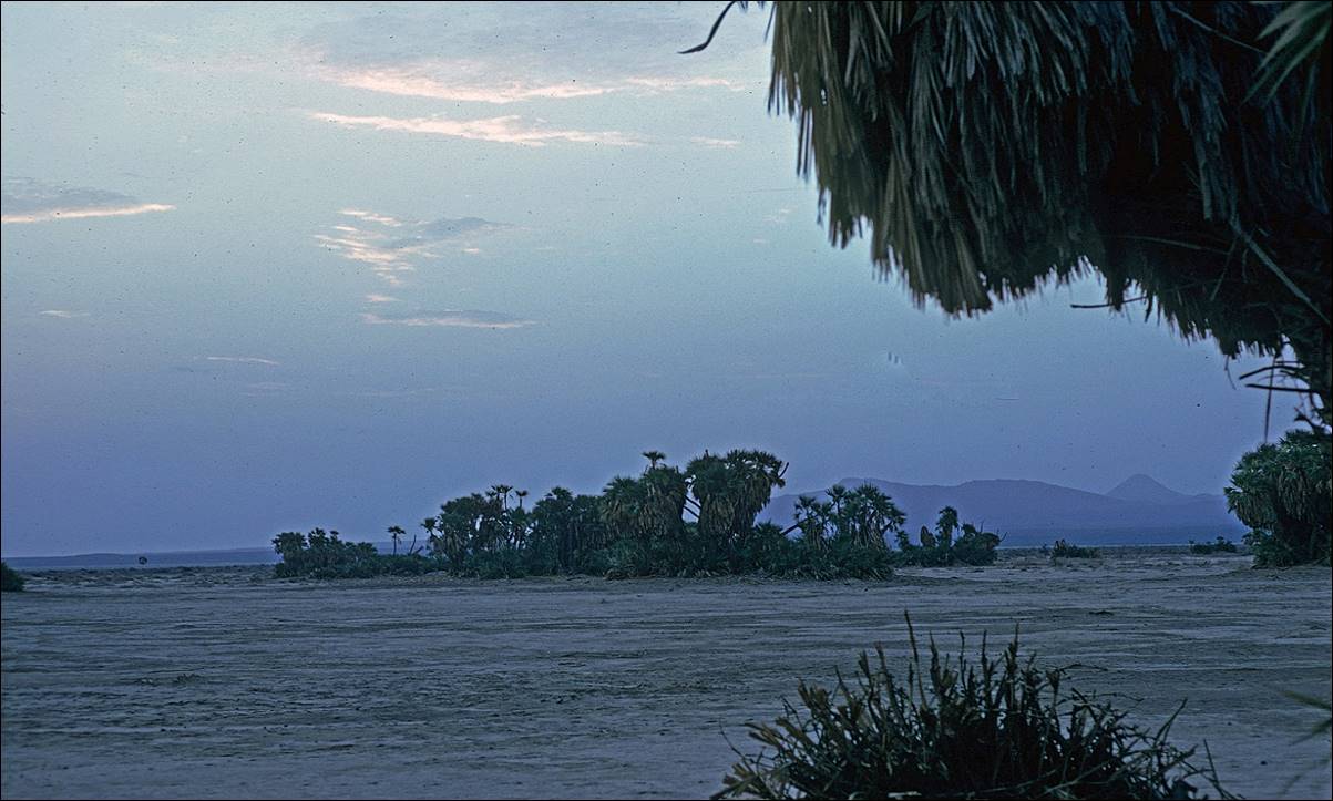
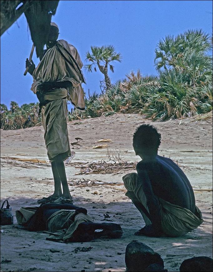
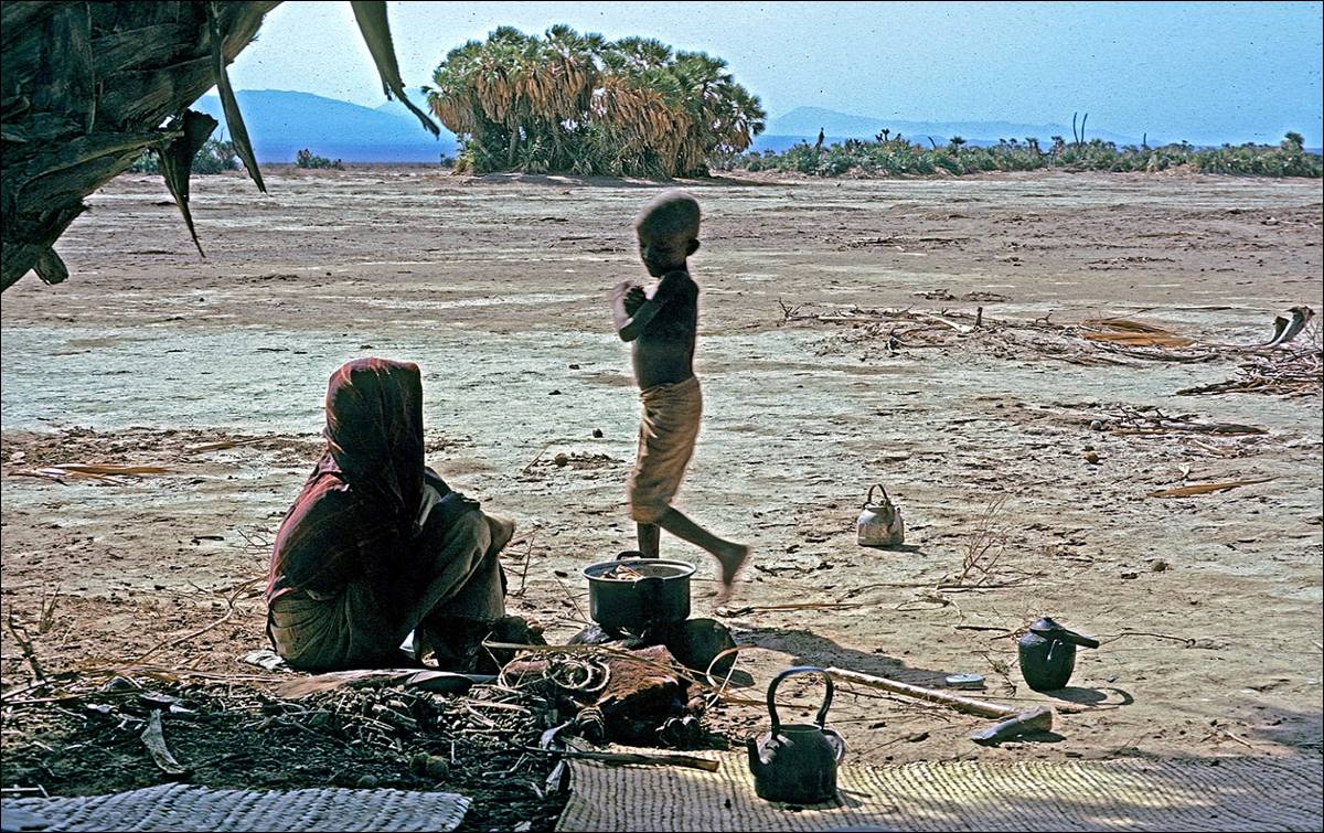
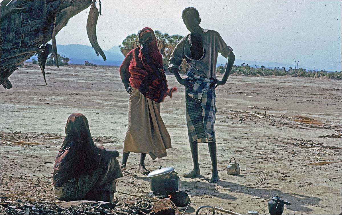
![]()
Between Ertale
and Lake Asele.
Even further away from Ertale toward
Lake Asele, we traversed a mostly flat barren
terrain. Nevertheless, we passed by a few small oases, some inhabited, where we
set camps and replenished our reserves of water.
|
|
|

|
|
|
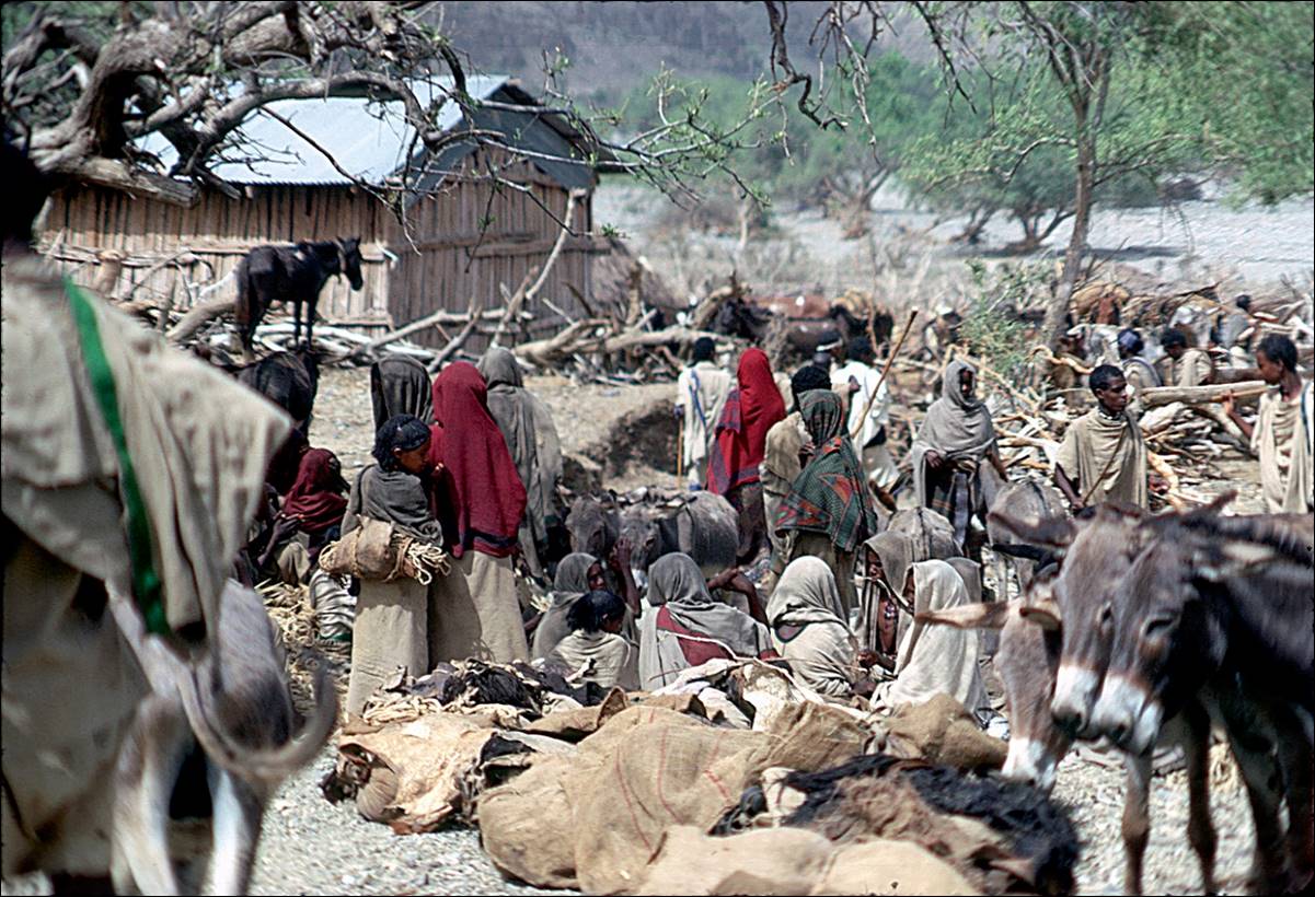
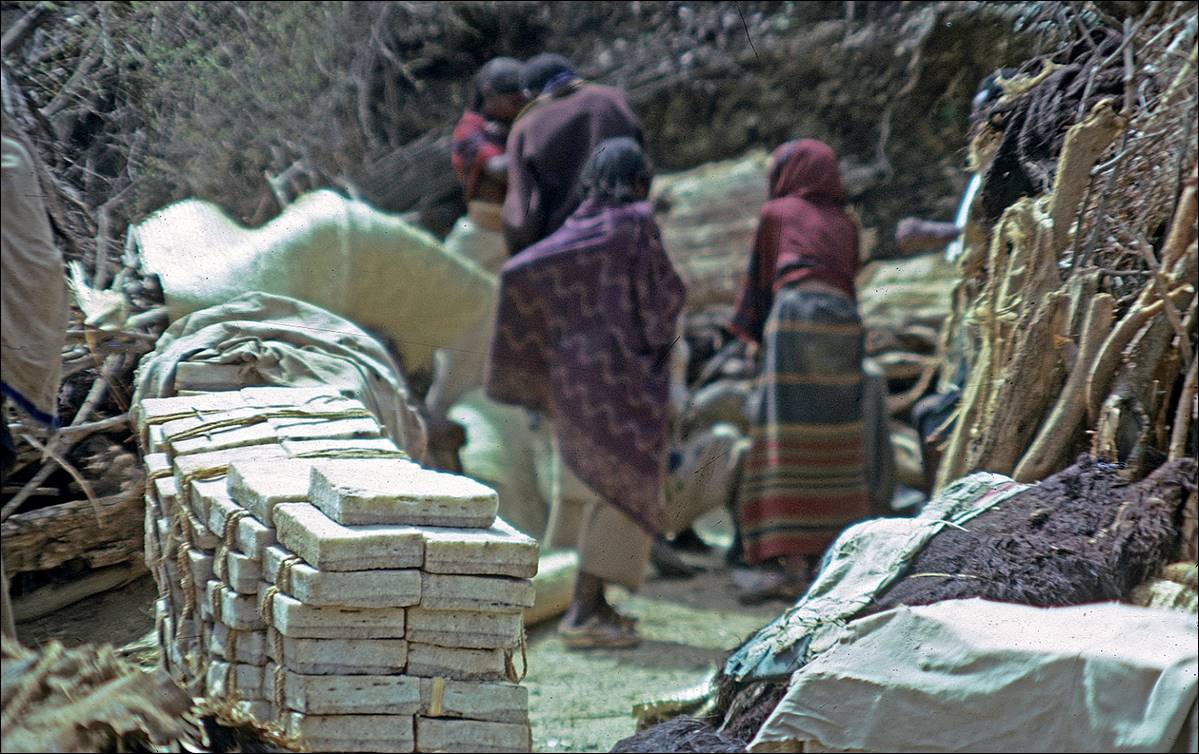
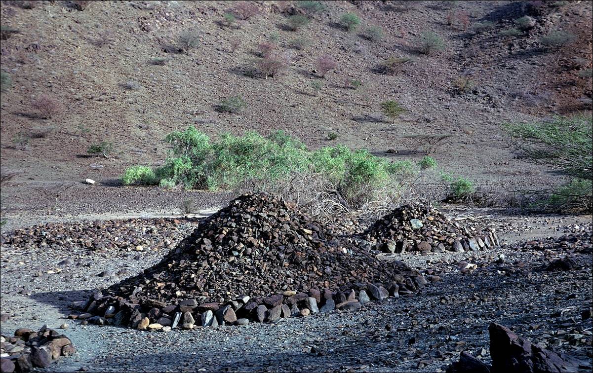
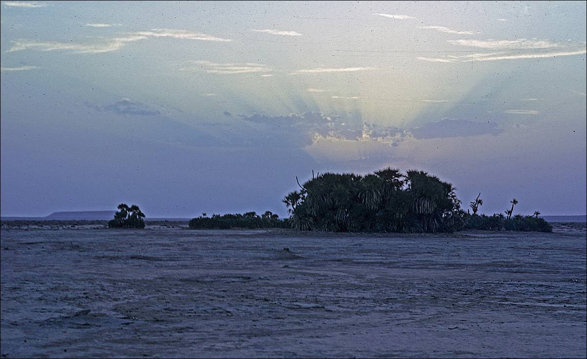
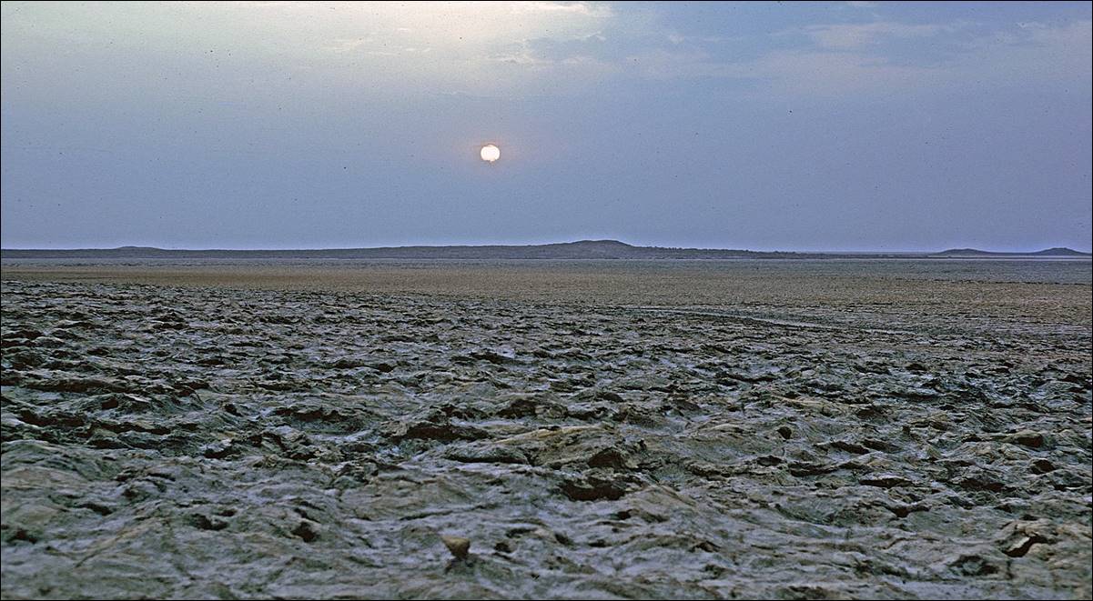
![]()
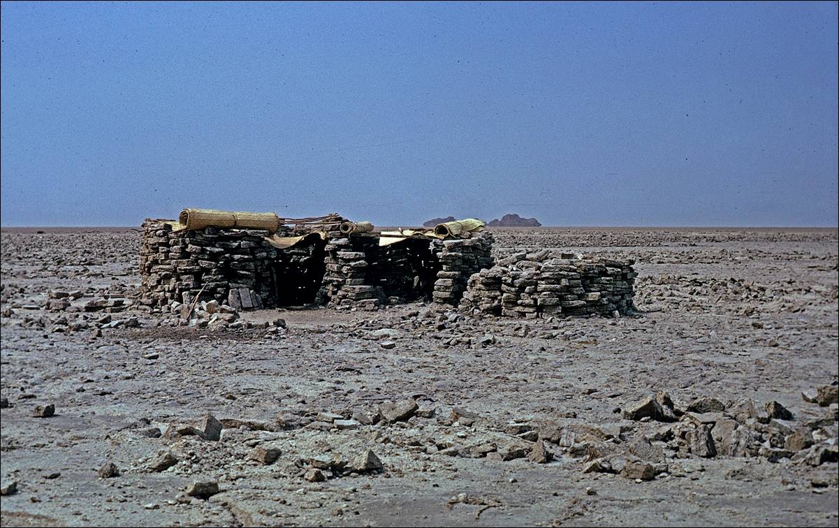
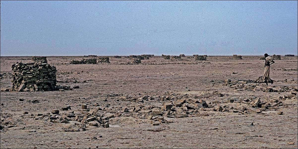
Salt mining on Lake Asele.
Lake Asele is a large, mostly dry salt
lake that lies 120m below sea level. It is located northwest of the Ertale volcano. The landscape is reminiscent of Death
Valley in

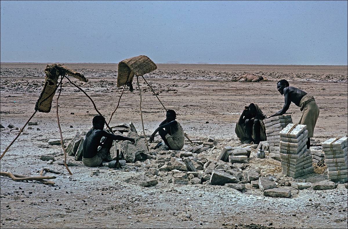
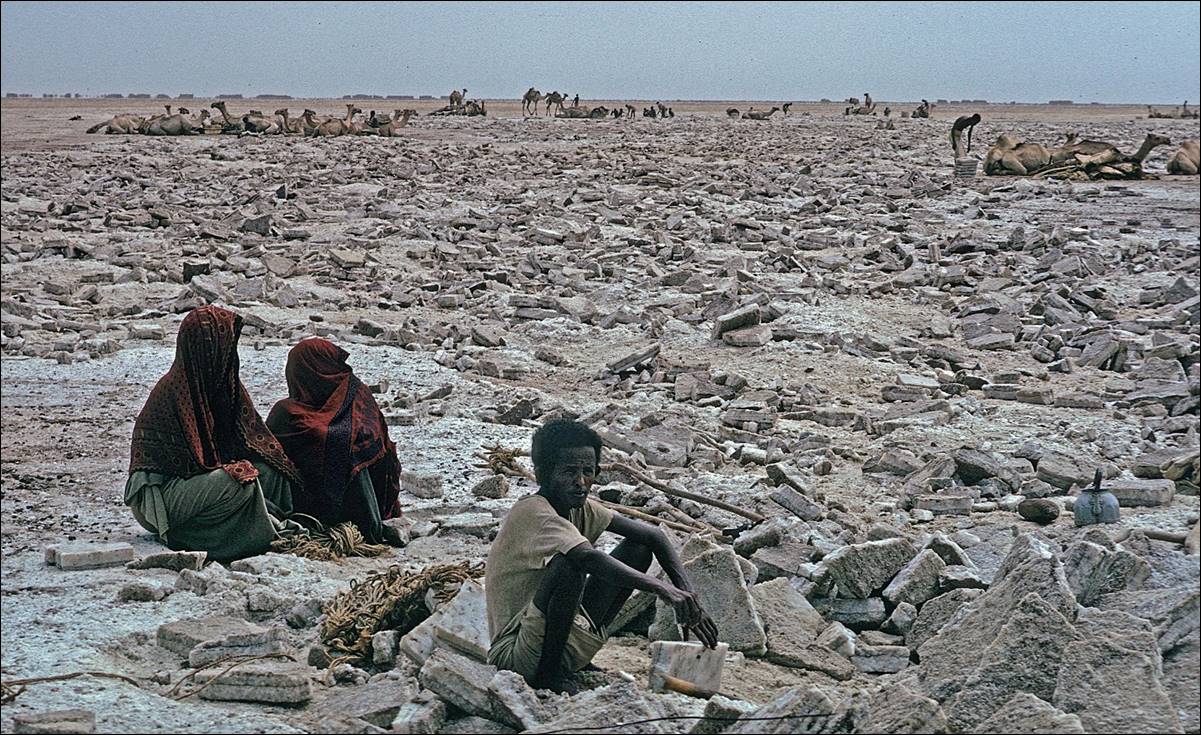
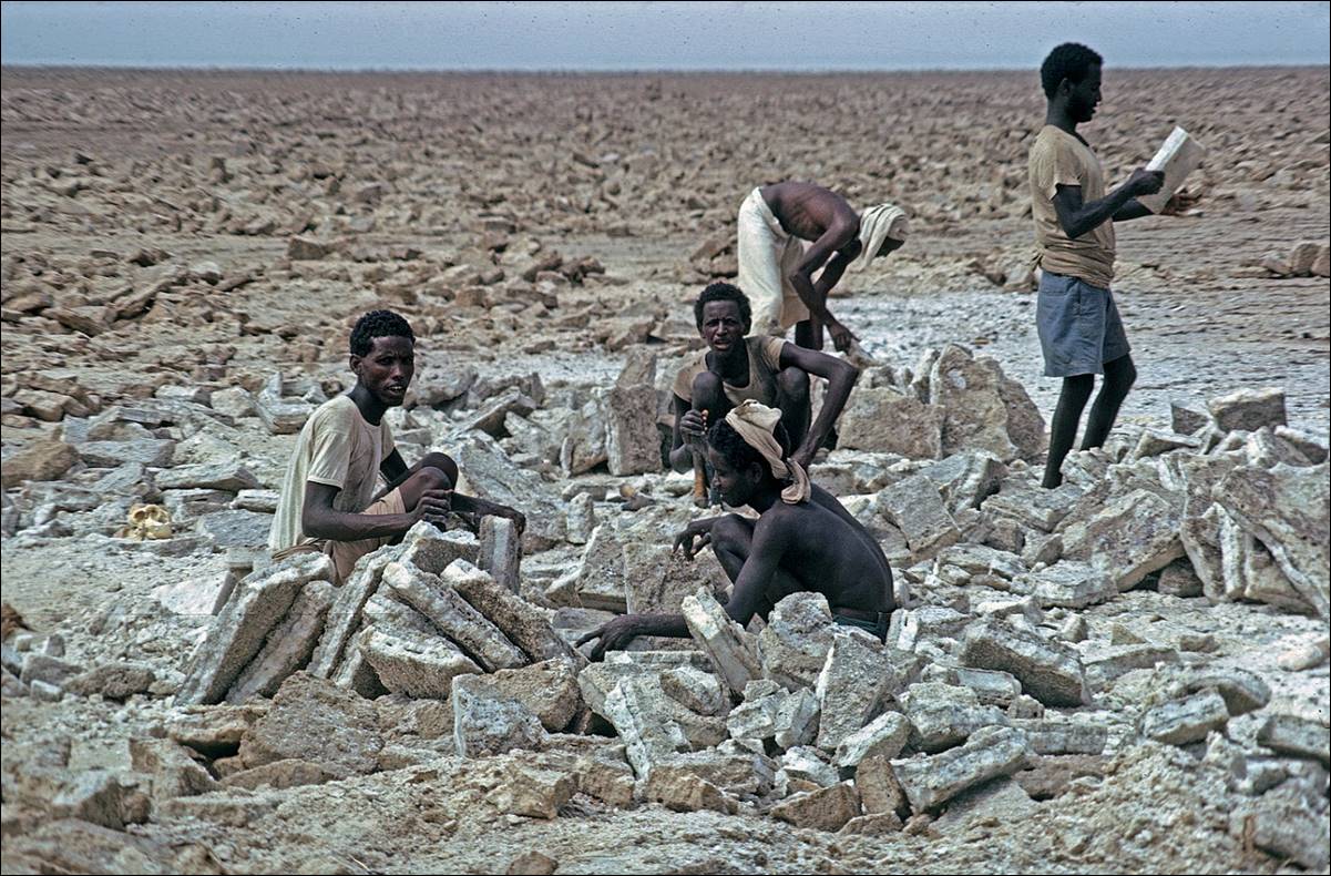

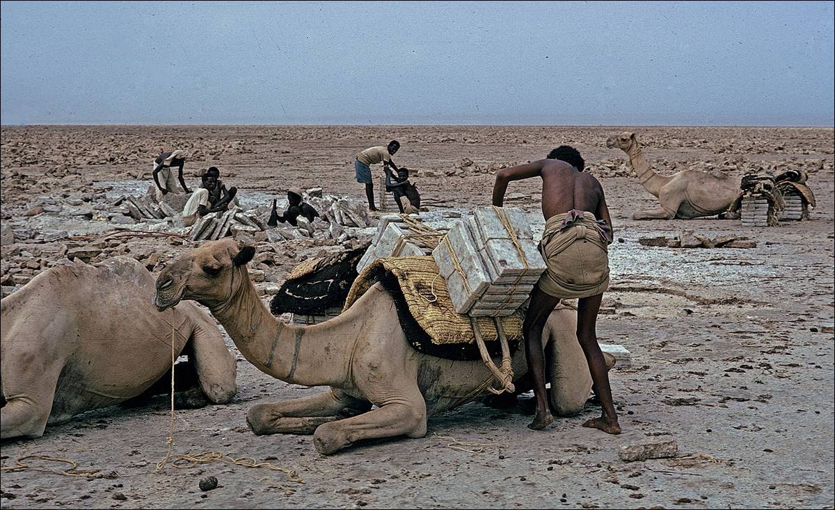
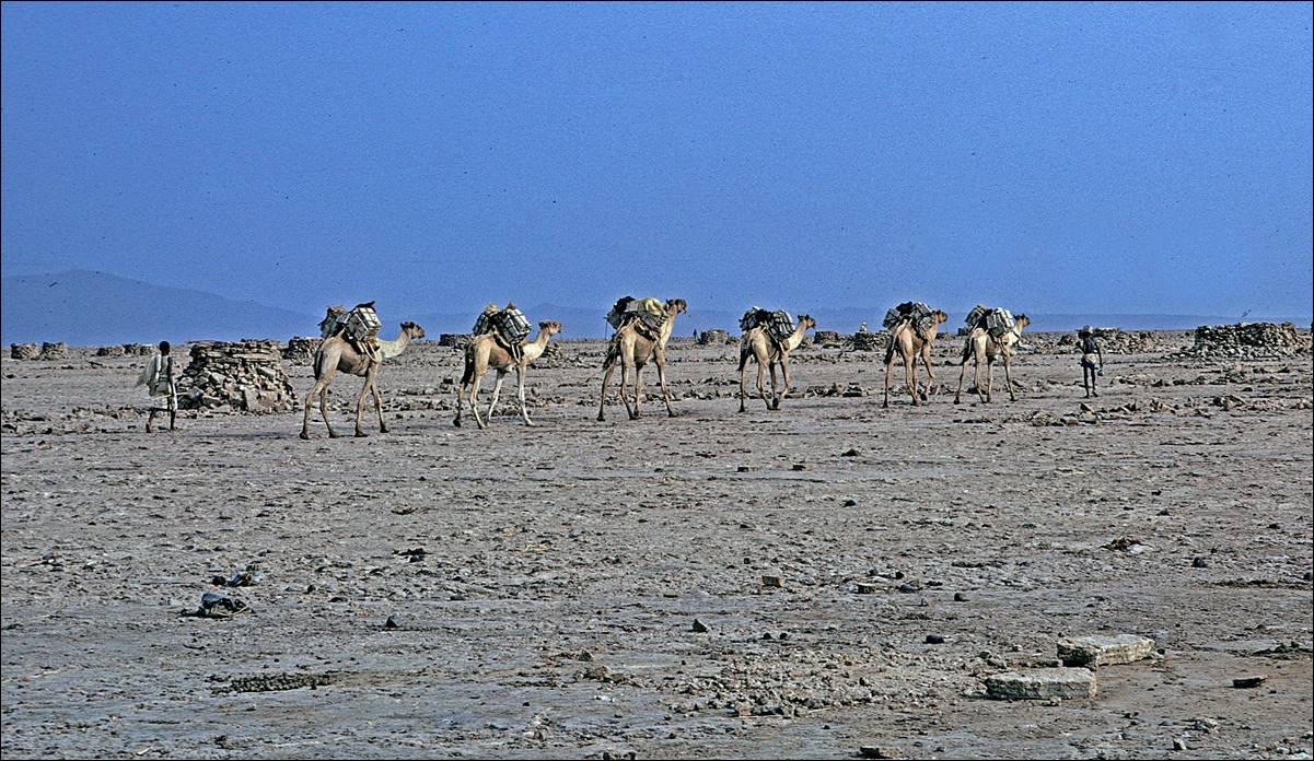
″Housing facilities″ made of salt blocks on

![]()
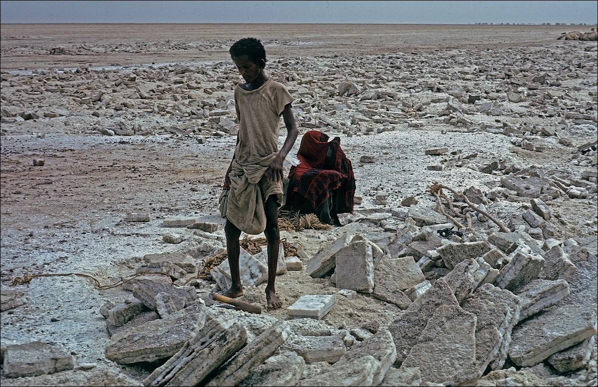
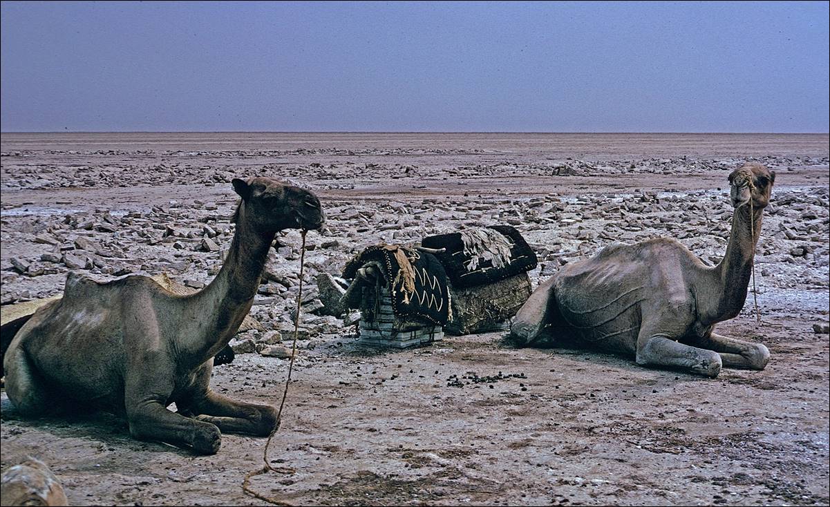
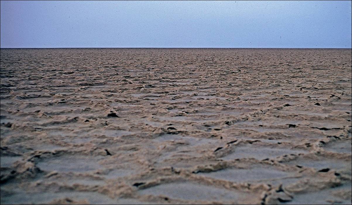
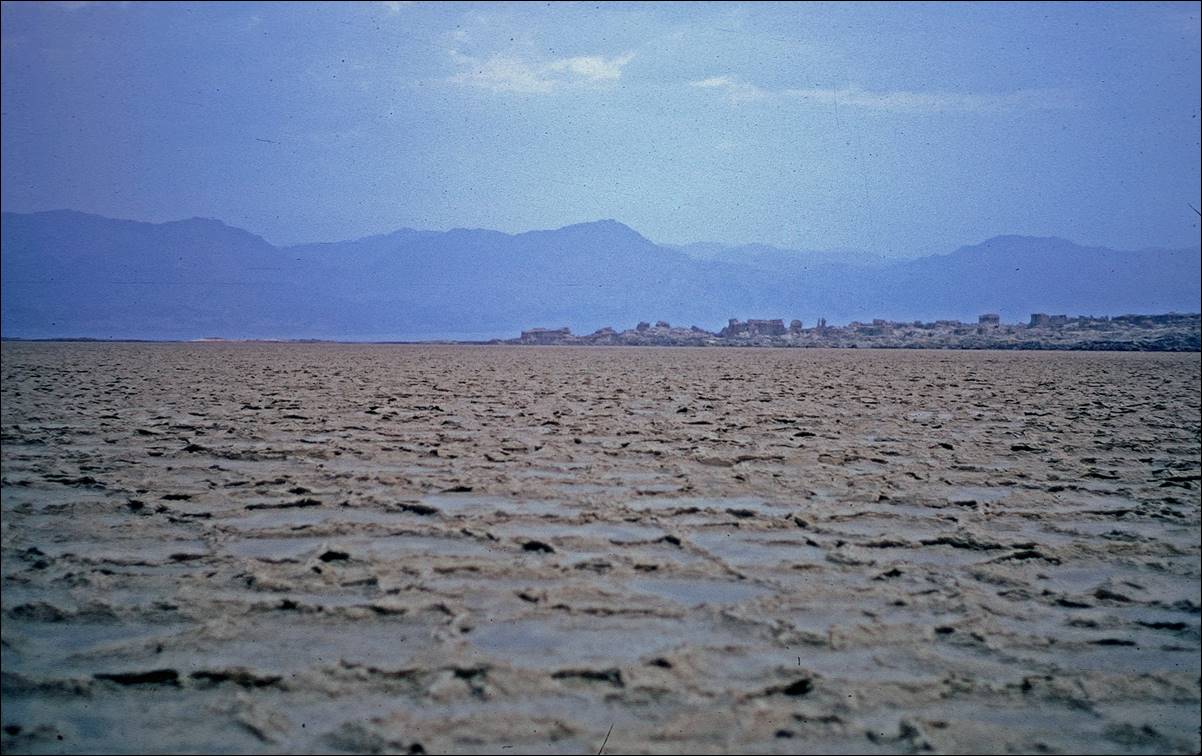
Crossing Lake Asele toward Dallol.
My three companions and I camped one night near the salt mining
area. With my guide I then crossed the (dry) lake to reach Dallol
directly, starting in the middle of the night to avoid being on the
light-reflecting salty surface during sunlight, without any source of water. My
other two companions went to Dallol with the camel
and the donkey along a longer but more animal-friendly route around the lake,
avoiding as much salty terrain as possible.
Views of the salt lake in the early morning.

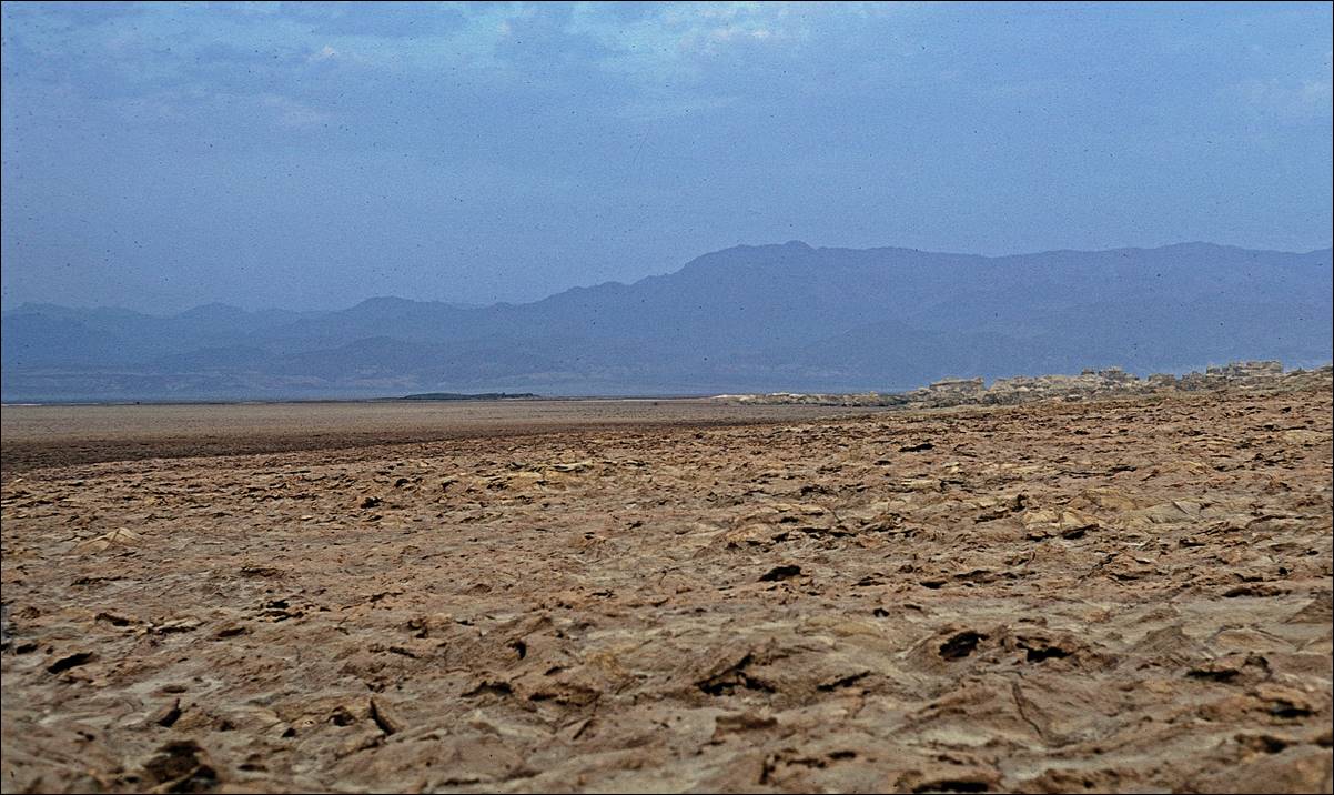
Reaching Dallol, a small volcanic
protuberance emerging from the northern part of the lake (on the right of the
two photos below).
As I wrote at the top of this page, despite the permit that I had obtained in Mekele,
the military commander stationed in Dallol forbade me
to go further and arranged a small military plane to pick me up (there was a
rudimentary airstrip on the lake surface) and fly me back to Mekele. Moreover, I later lost the roll of photos of the
colorful sulfuric formations, pools, and geysers that I had taken in Dallol. My companions returned to the Ethiopian plateau
with the camel and the donkey, and sold them. A few days later we met again in
a small town north of Mekele and together we traveled
(by bus) to the port of Massawa on the west shore of
the Red Sea, which was home of an important Danakil community. Later I went
hiking in the highlands of Tigray to visit some of the rock-hewn churches and
then in the Semien mountains.
![]()
Click the
following links to see other photos of my 1973 trip to Ethiopia:
![]()
Return to main Ethiopia 1973
page | Return to my mountaineering/trekking/travel webpage