France (May 2017):
Two Day Hikes in the
Dentelles of Montmirail and Mont Ventoux
![]()
The Dentelles of Montmirail
and Mont Ventoux are two great hiking destinations in
southeastern France, respectively, 30km and 45km northeast of Avignon. The
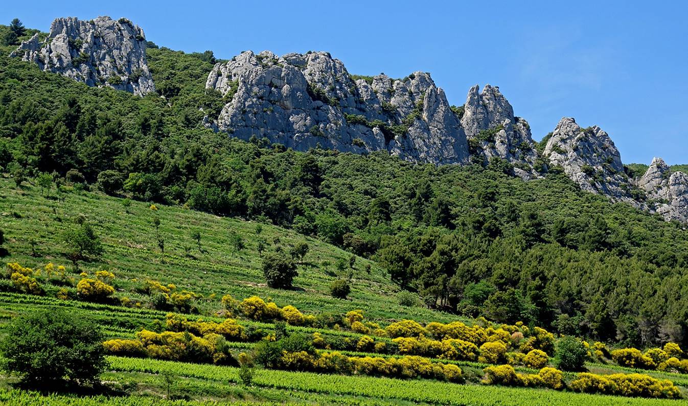
Dentelles de Montmirail consist
of several limestone ridges surrounded by vineyards producing prestigious wine
(Gigondas, Vacqueras, Beaumes de Venise). These ridges have been finely chiseled
by wind, sun, and erosion, hence their name ″dentelles″, which
means ″lace″ (illustrated by the banner at the top of this page).
They are a popular rock climbing destination. With its bald (bare limestone)
summit reaching 1912m, Mont Ventoux dominates the
entire region and is often called the ″Giant of Provence″. The Tour
de France made it famous and its ascension is extremely popular among amateur
cyclists.
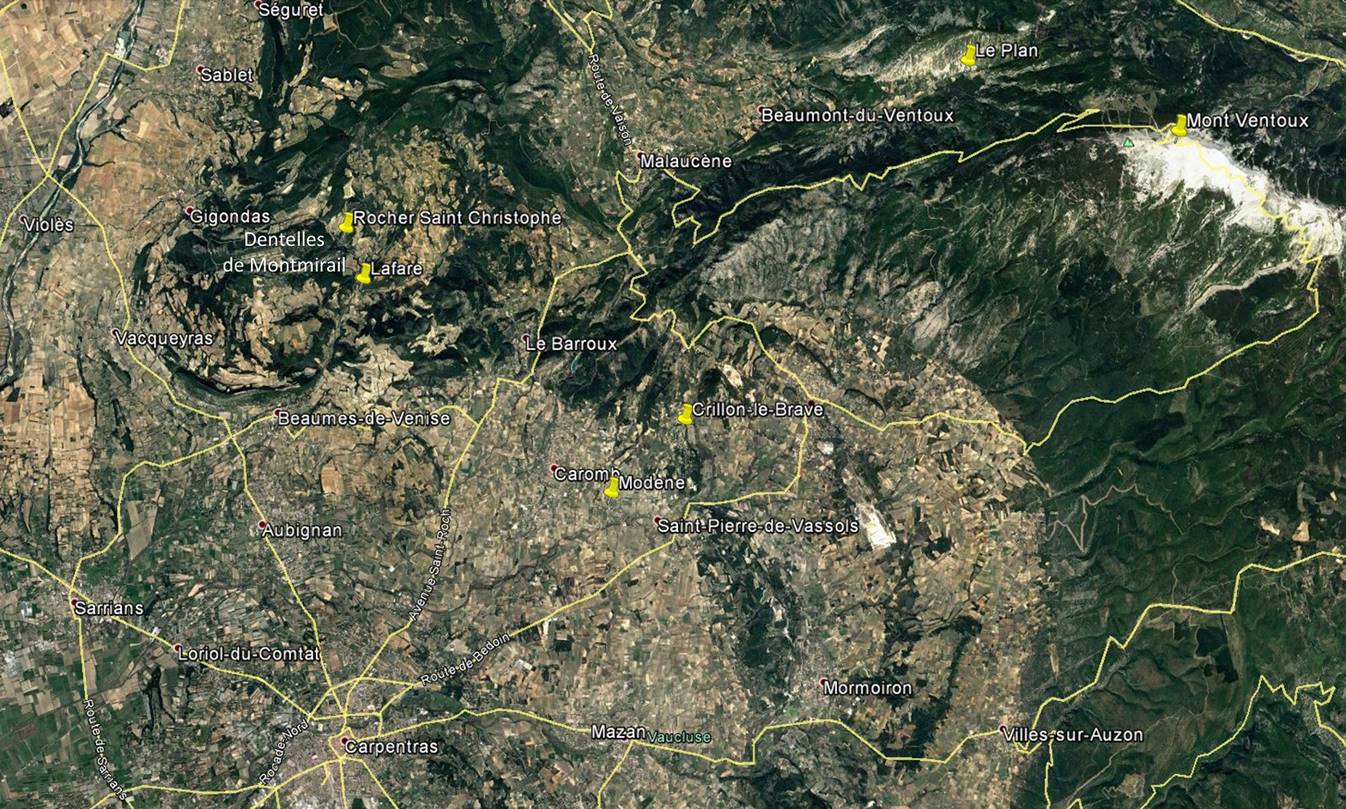
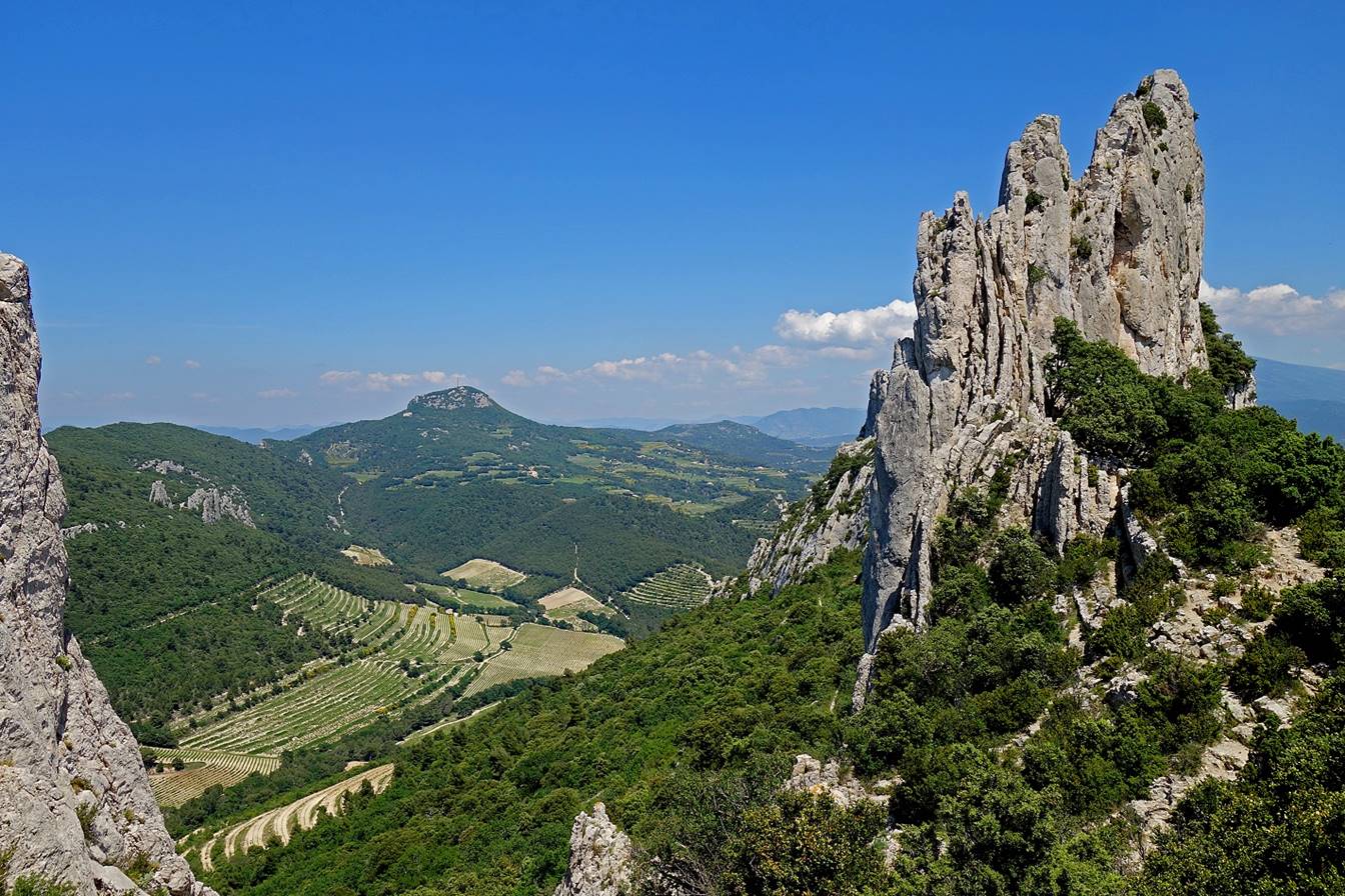
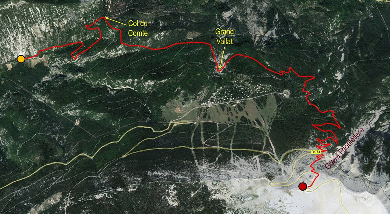
Dentelles de Montmirail:
They consist of three main ridges:
Chaine du Clapis, Dentelles Sarrasines,
and Grande Montagne. This hike starts and ends at the base of the Rocher Saint
Christophe (small parking), 2km from the village of Lafare.

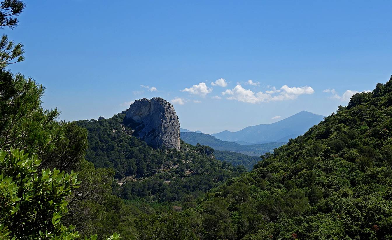
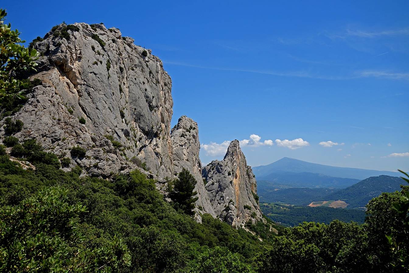
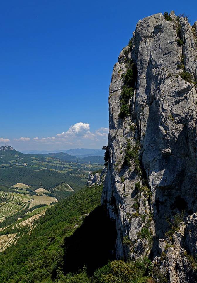
Rocher Saint Christophe seen from the Vallat de l′Aiguille. Mont Ventoux is visible in the background.
Northern side of the Chaine du Clapis, seen from the Vallat de l′Aiguille.
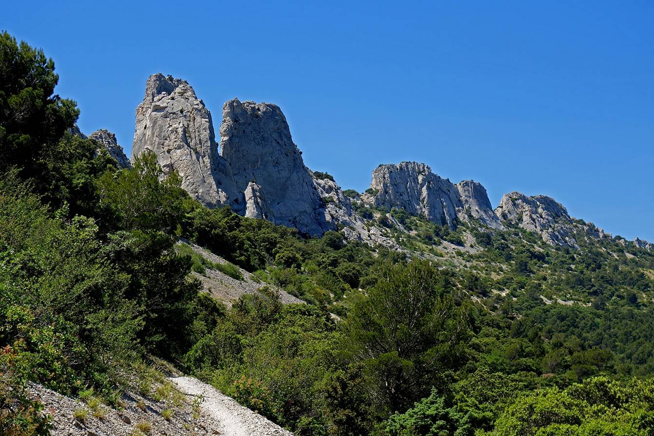
Dentelles Sarrasines,
also seen from the Vallat de l′Aiguille.
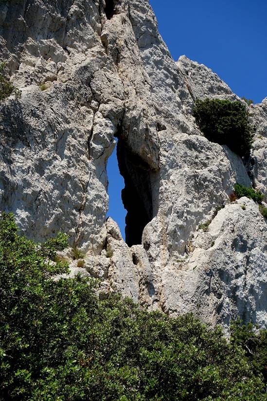
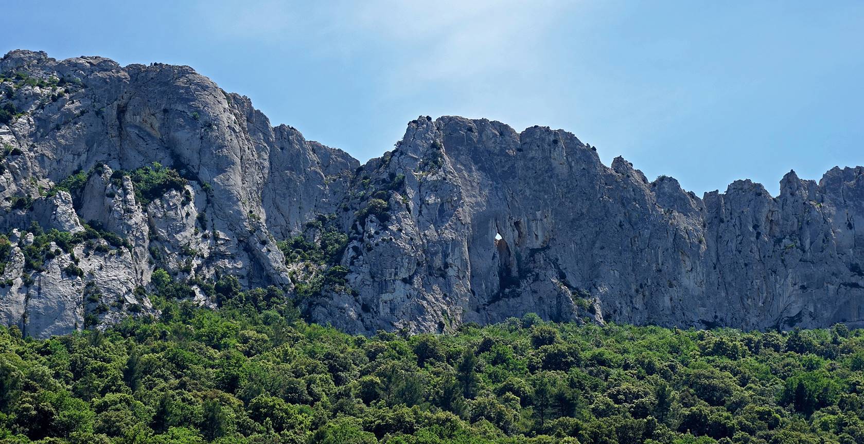
Breach in the Chaine du Clapis (looking toward the south over vineyards).

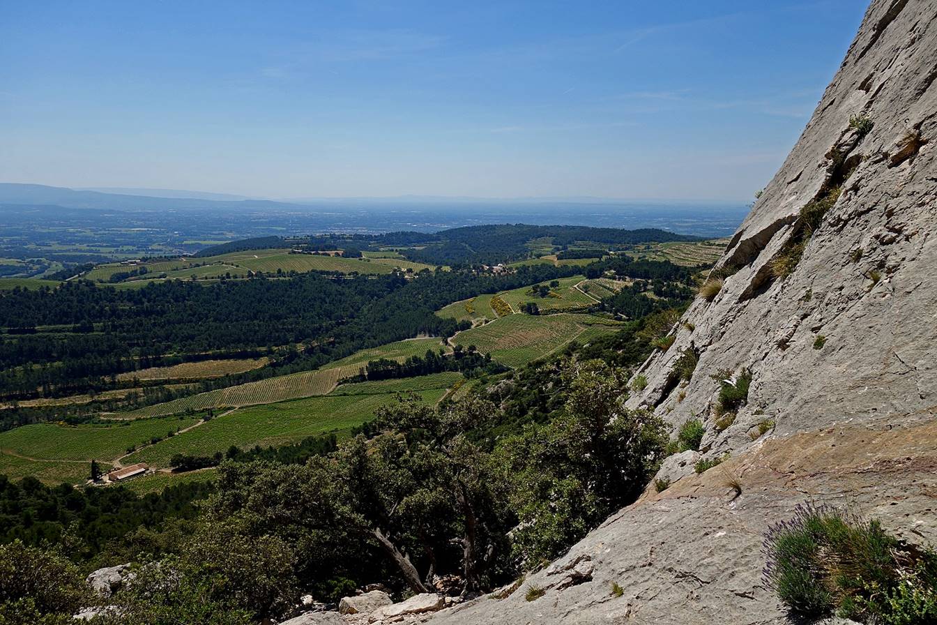
The same breach seen from the other
side.
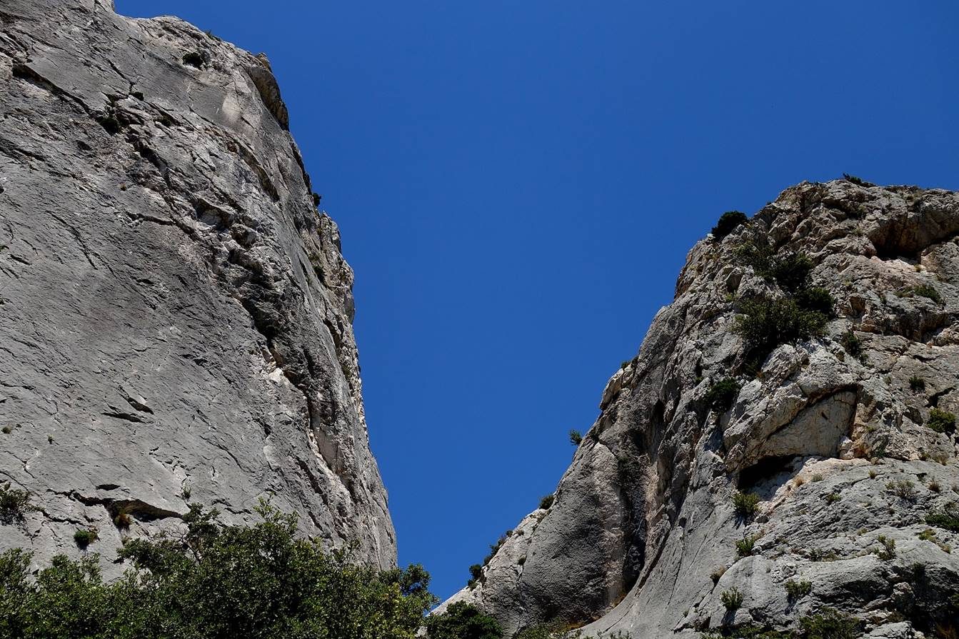
The two sides of the breach. Note the
climber in the photo on the right.
|
|
|
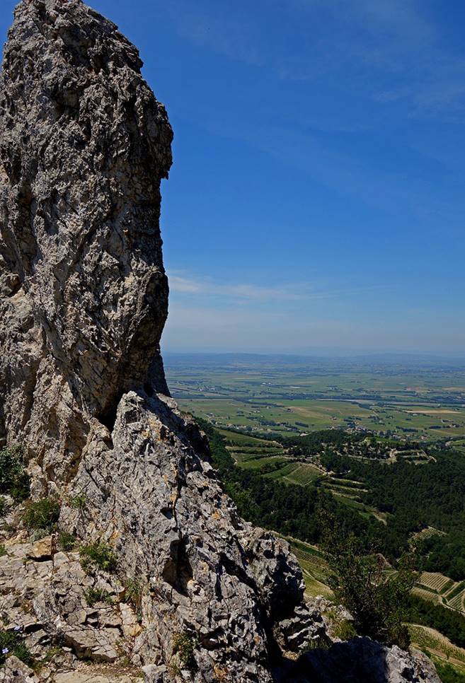
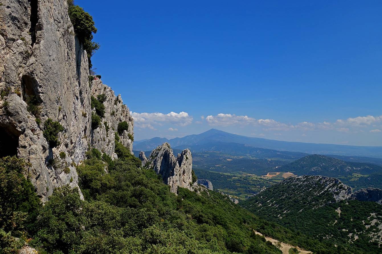
Southern side of the Chaine du Clapier, seen from another breach (with Mont Ventoux in the background in the first two photos).

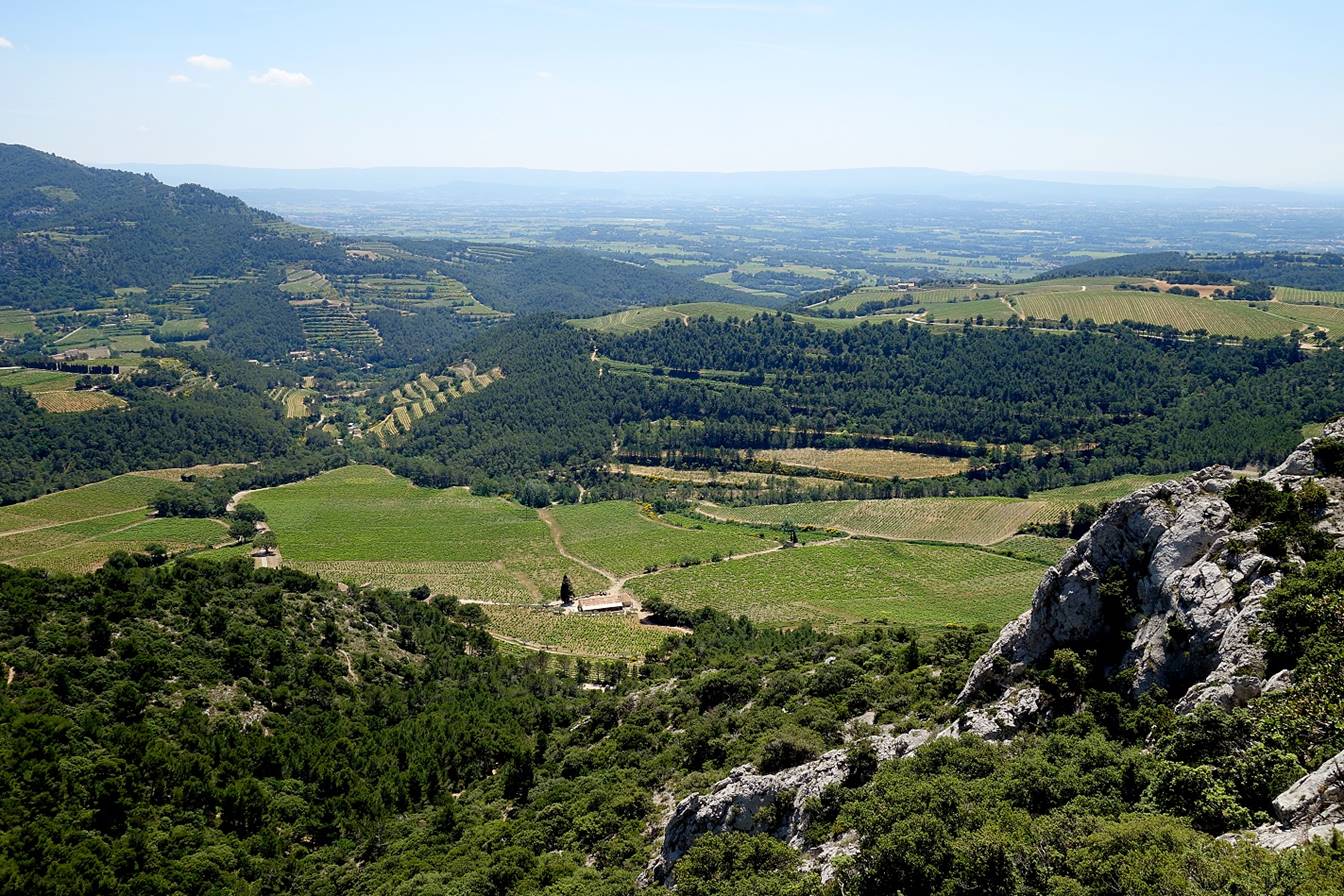
View over vineyards toward the southwest
(Vacqueras).
At a breach in the Dentelles Sarrasines after crossing the Col d′Aslau.
Looking toward the northwest (left) and the northeast (right)
|
|
|
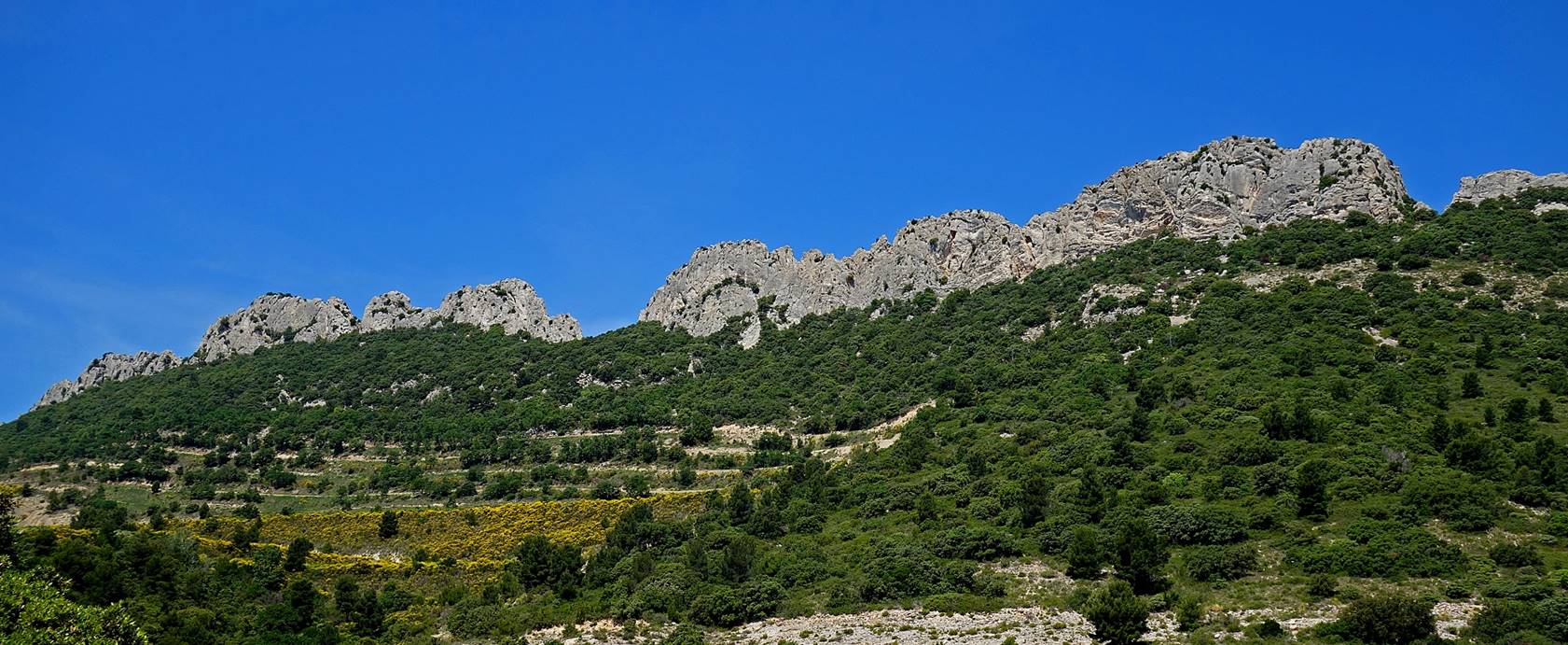
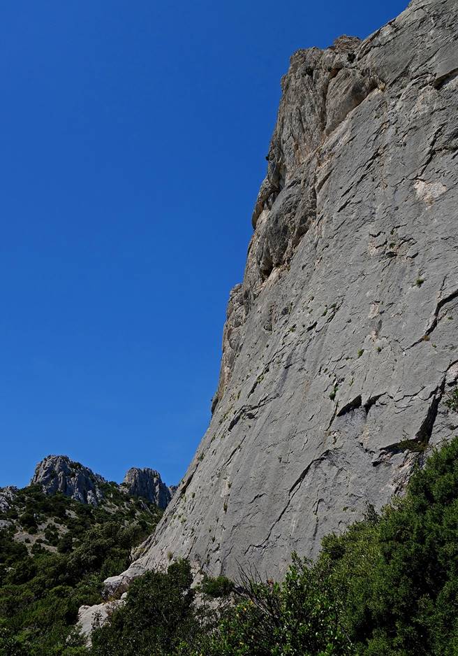
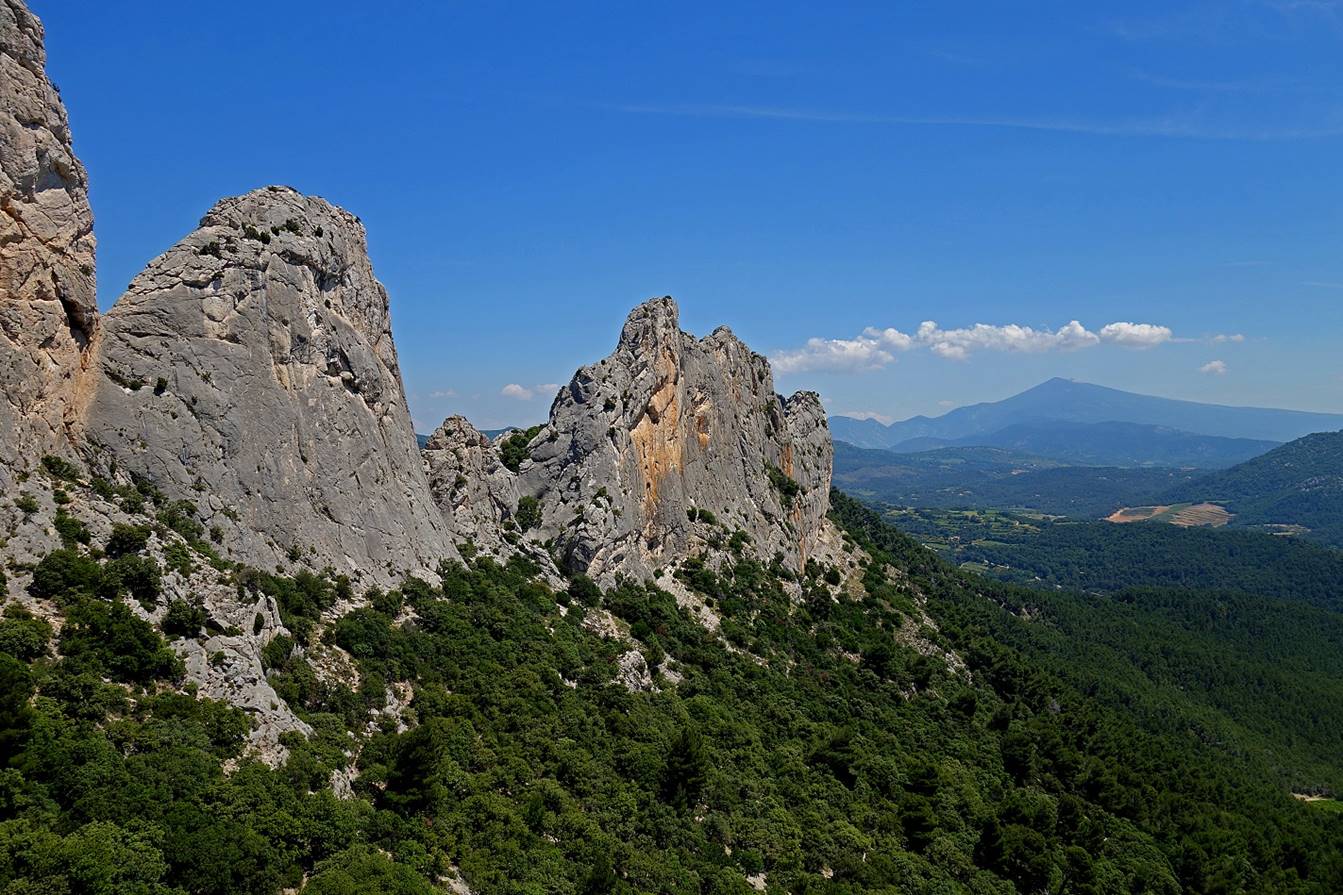
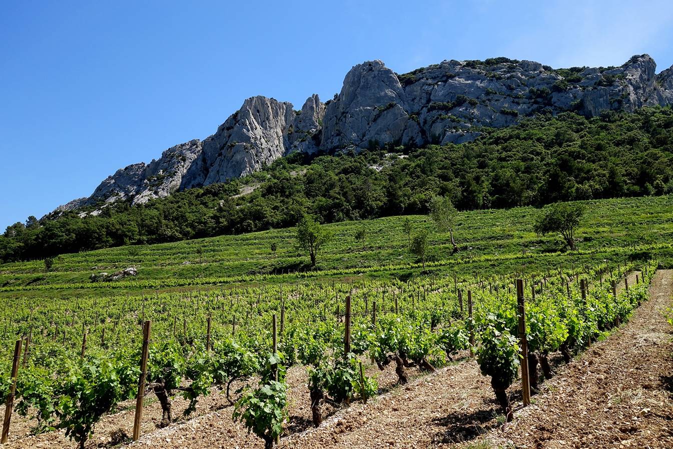
Southern side of the Dentelles Sarrasines.
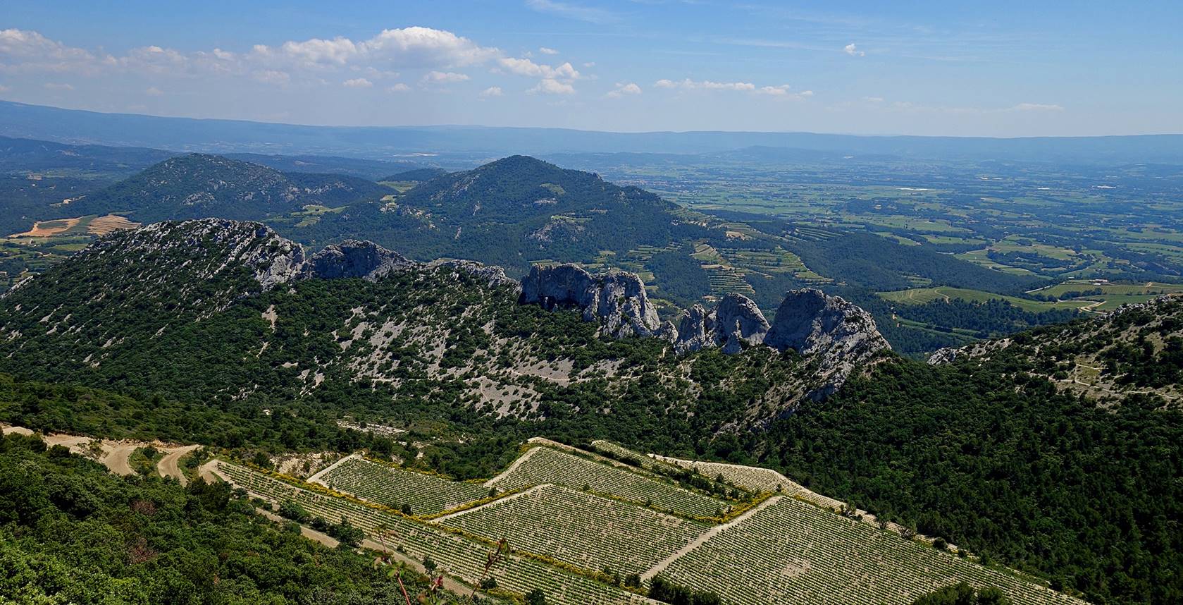
View of the Chaine du Clapis from the Dentelles Sarrasines.
Holes and needles of the Dentelles Sarrasines.
|
|
|
|


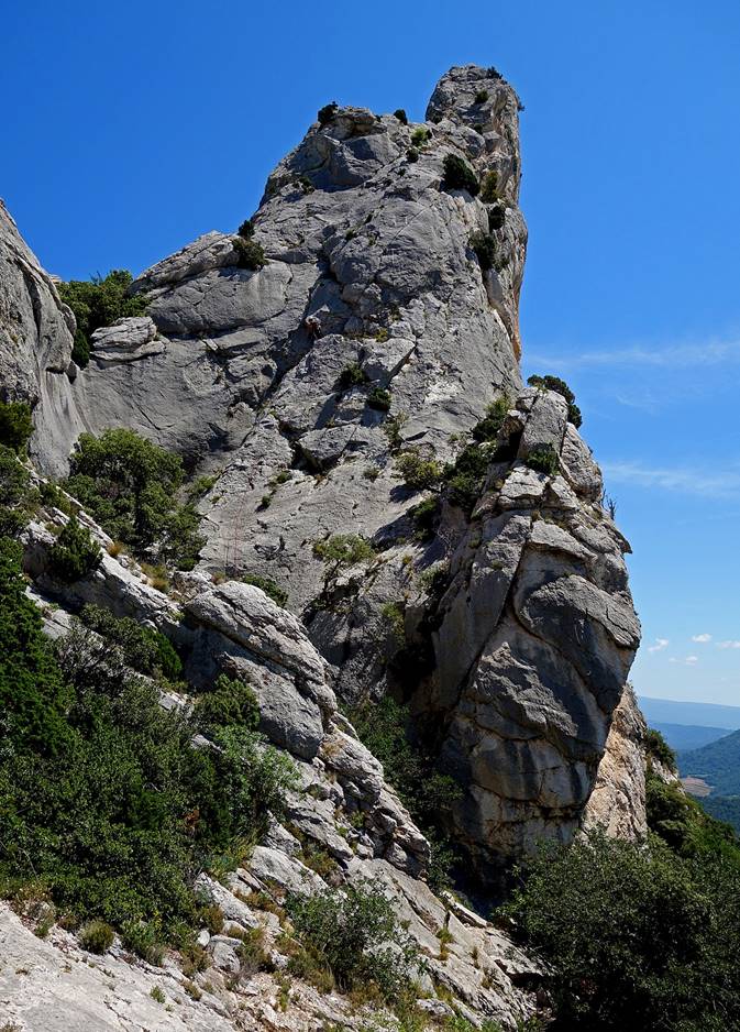
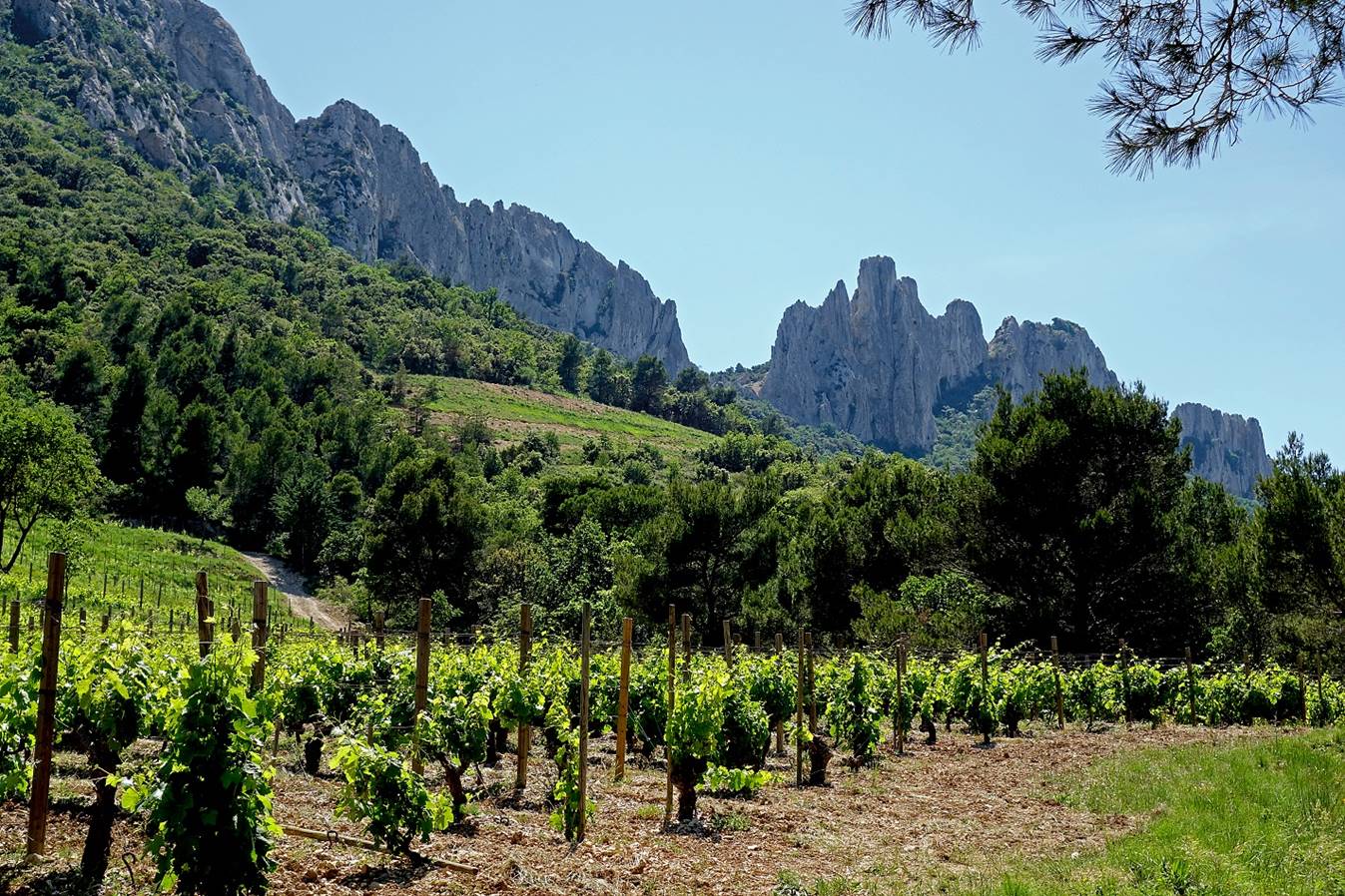
The Dentelles Sarrasines
seen from their northern side. In the first photo below there are four climbers,
plus one barely visible at the top on the left of the highest thin needle.


Vineyards on the northern side of the
Dentelles Sarrasines.
View toward the Grande
Montagne.
Reaching back the
Rocher Saint
Christophe.

Mont Ventoux:
There are several routes to climb Mont Ventoux. This route ascents the mountain on its northern
side. It starts at a place called Le Plan (approximately 700m in elevation) in
the small valley of Beaumont-du-Ventoux (see map at
the top of this page). The total elevation gain/loss of elevation of the route
is about 1300m.
Mont Ventoux
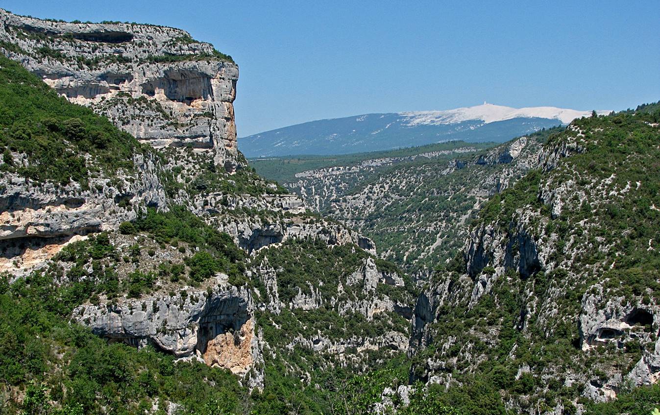
seen from the southeast (from the Gorge de la Nesque).
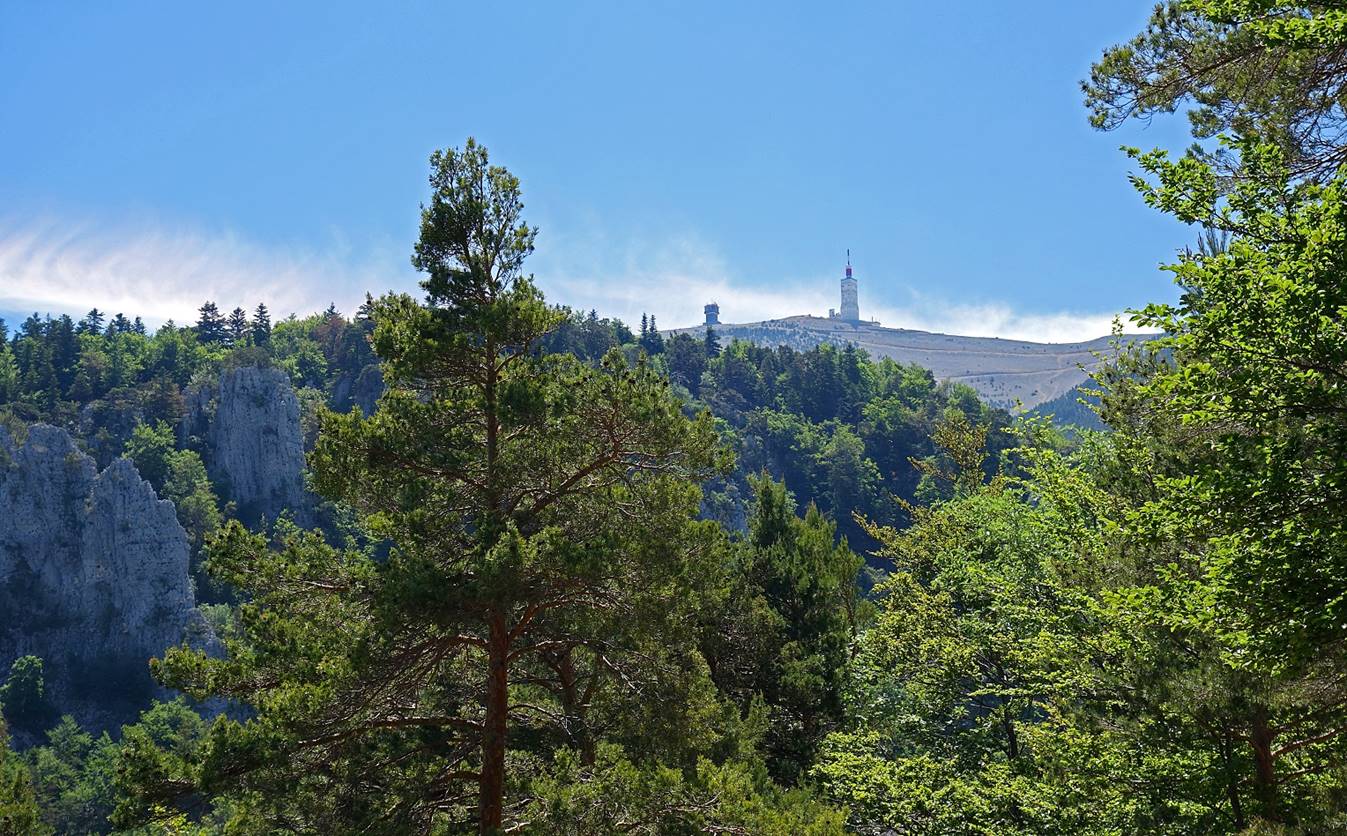
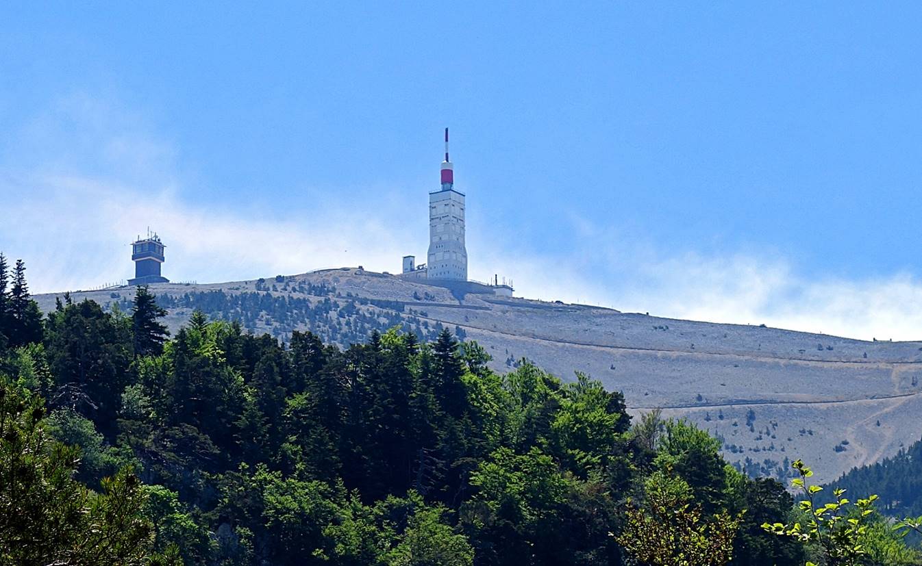
Mont Ventoux
seen from the west (from the Dentelles de Montmirail).

Summit of Mont Ventoux
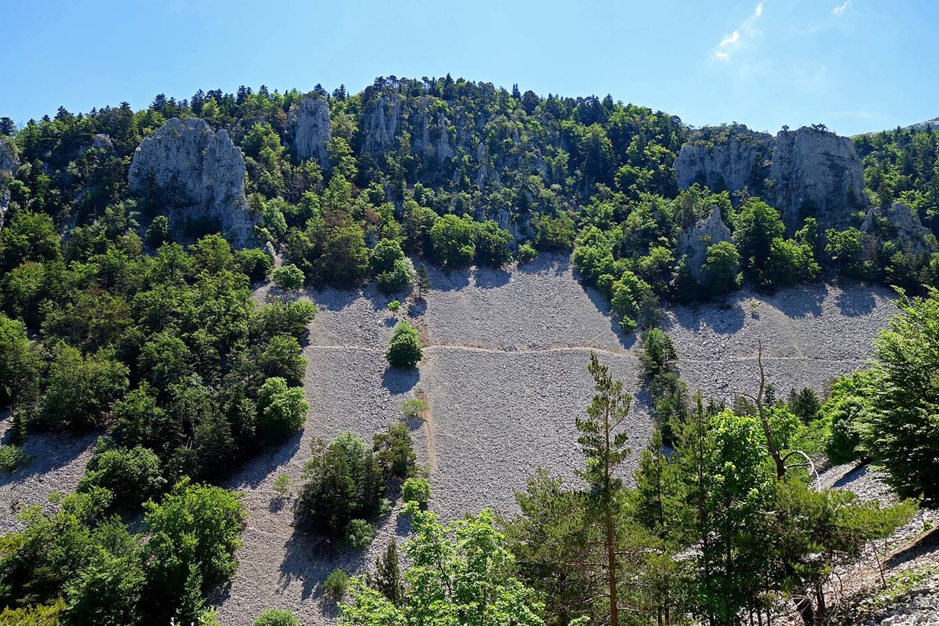
seen from the Grand Vallat during the ascent.
Grand Vallat.

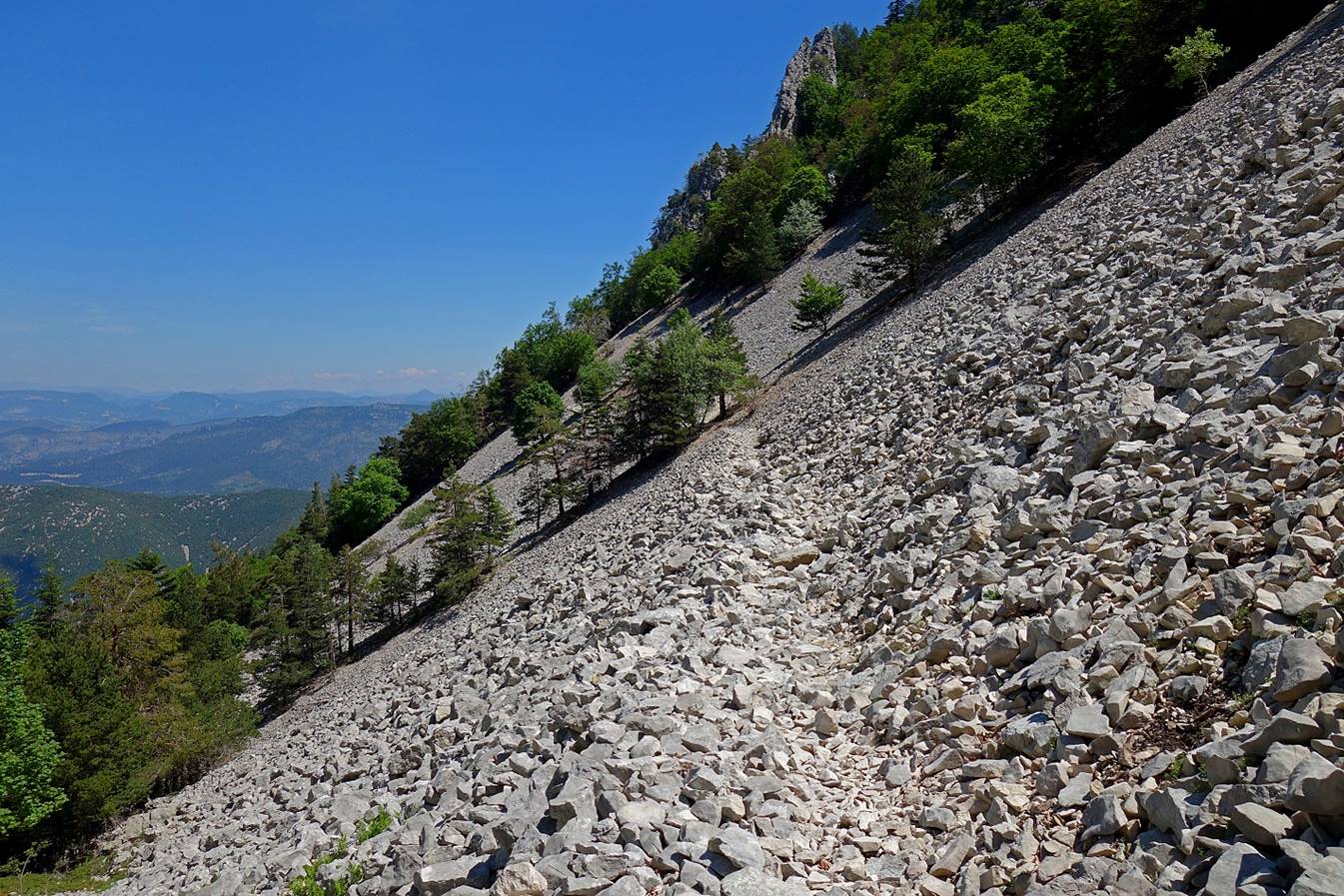
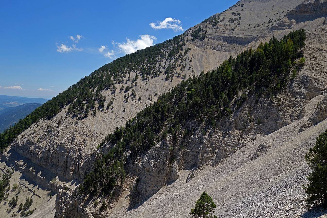
The impressive Grave Faouletiere.
During a snow storm in winter it is not a good place where to get lost!
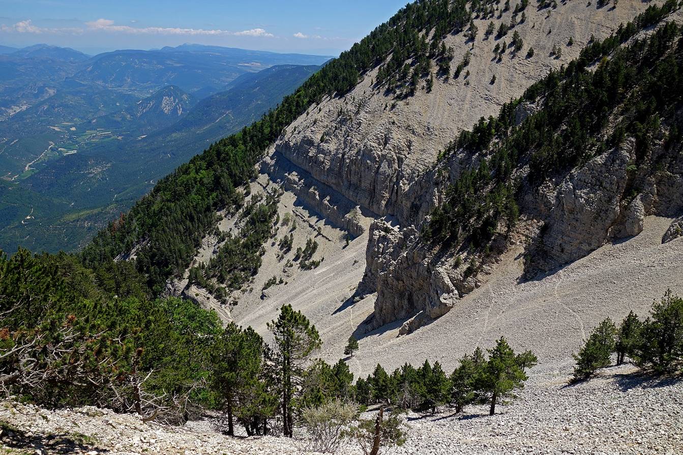
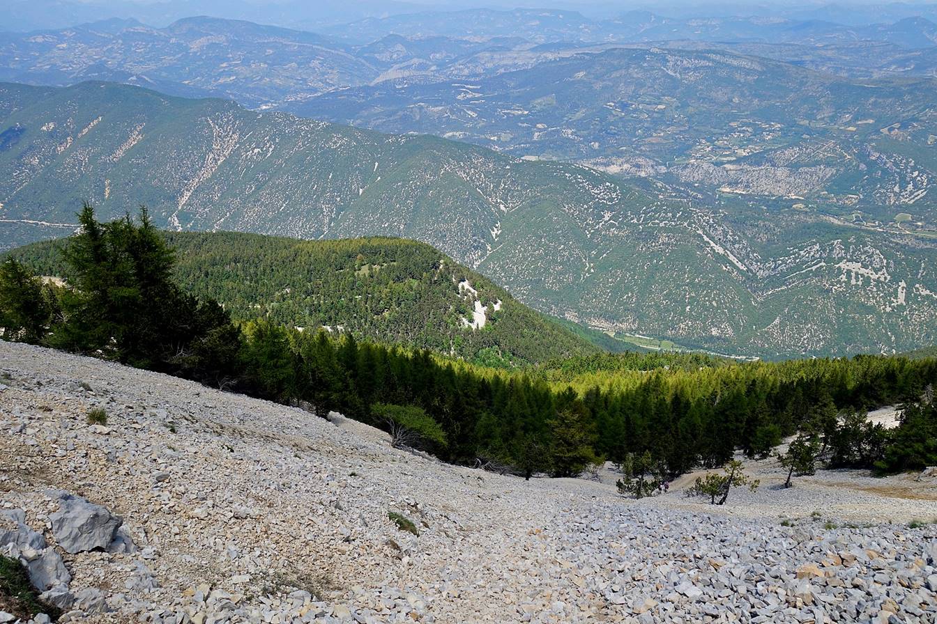
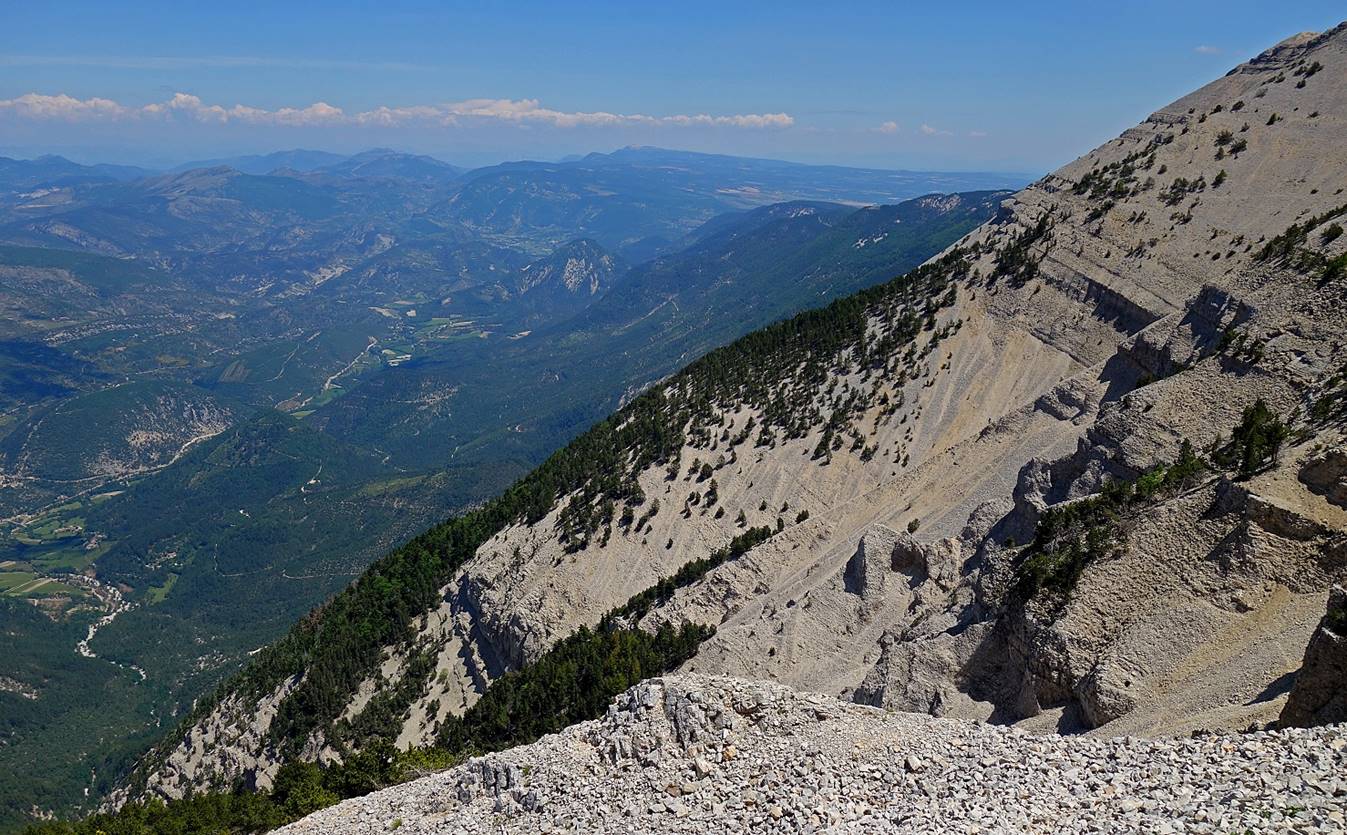
Looking down (toward the north) during
the ascent of the bald summit.
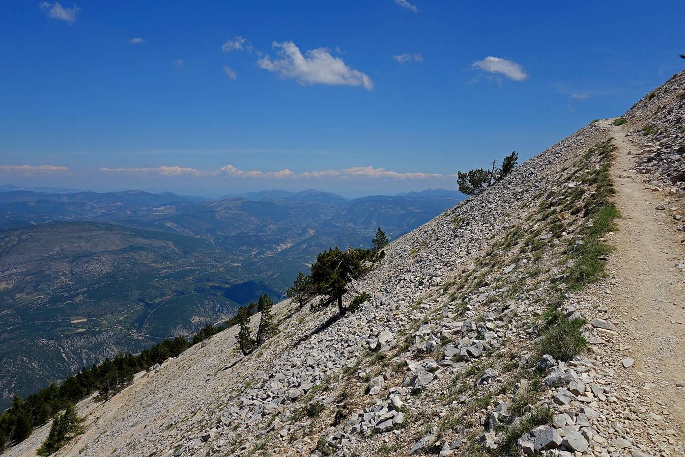
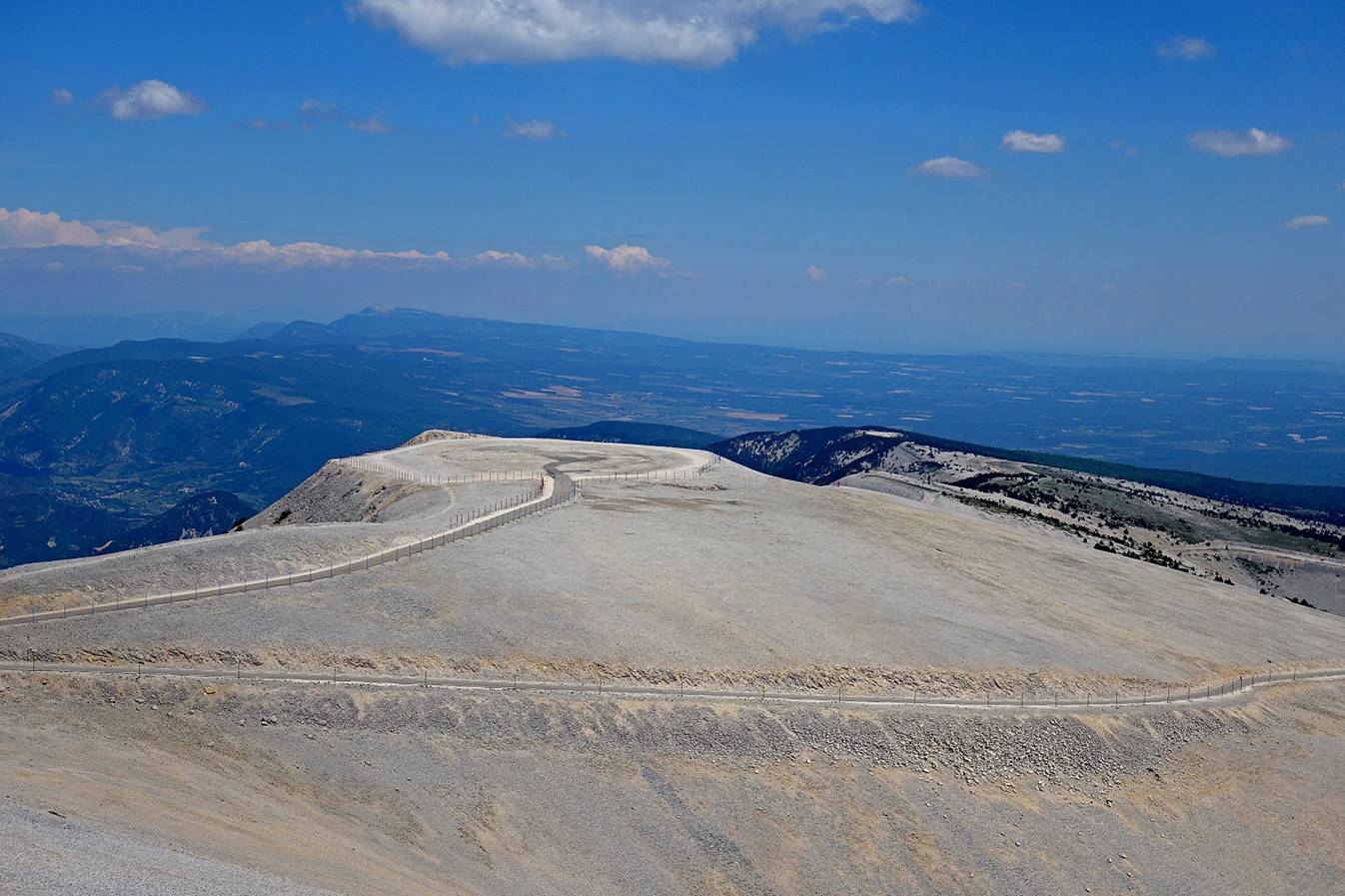
Getting very close to the summit.
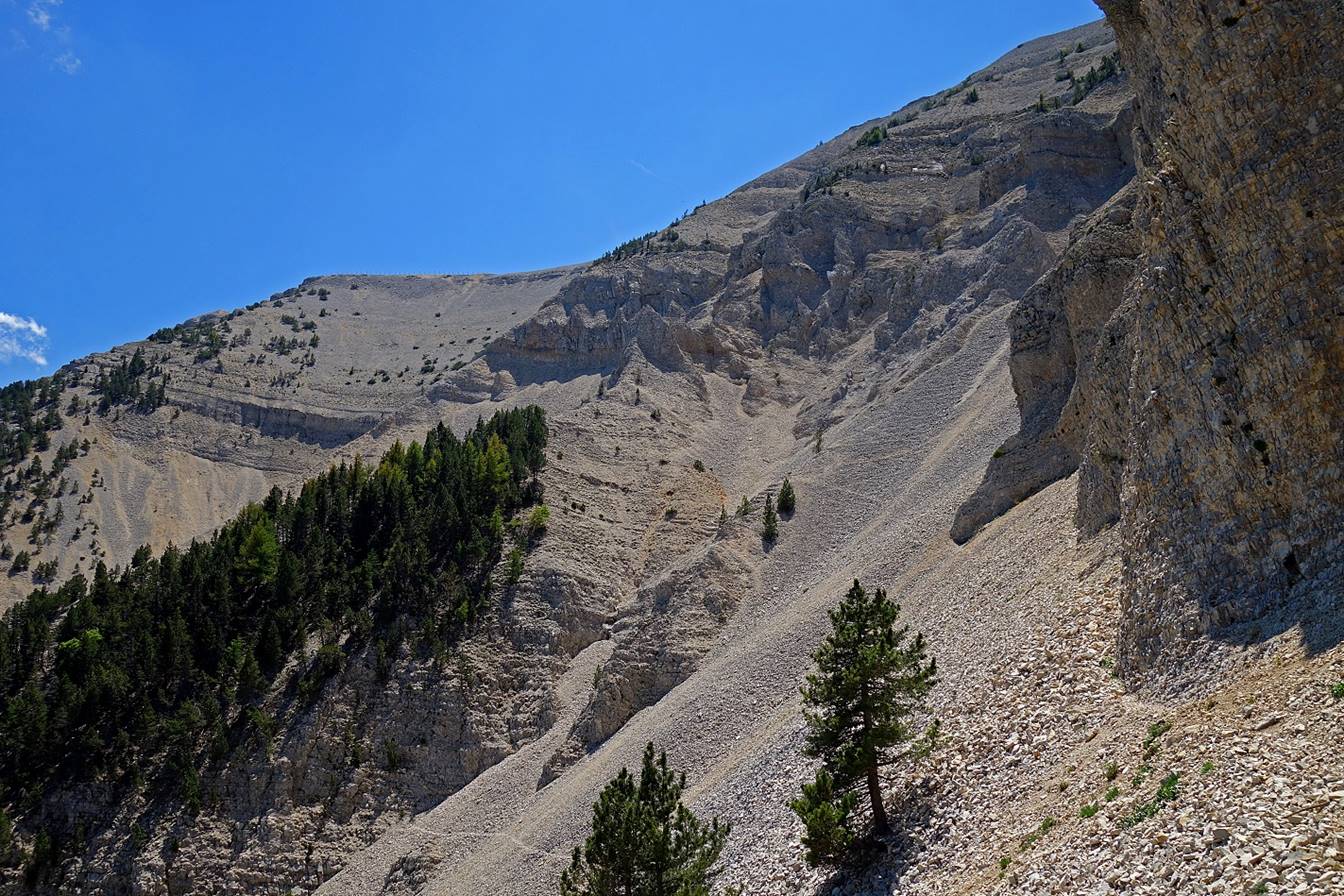
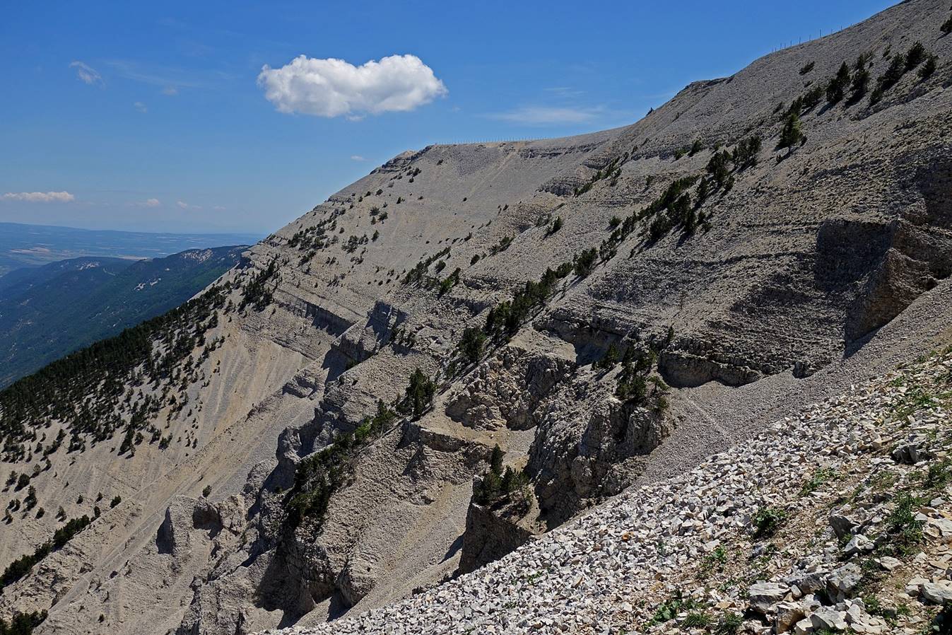
Upper part of the Grave Faouletiere.
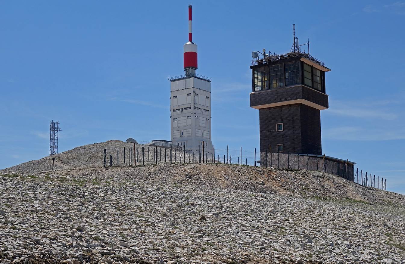
Weather station at the summit. The
station, which had been closed in 1968, was reopened in July 2016.
View from the summit
toward the east (toward the Col des Tempetes, the ″Storm Pass″). On
average, winds blow at 90km/h or more two out of three days per year. Extreme
winds with speeds as high as 320km/h have been recorded. So, the name Ventoux,
which means windy, is quite appropriate.
![]()