India
(July-August
2018): Lahaul to Zanskar
across Kang La (5450m) - 2/3
|
|
Return
to main India 2018 webpage
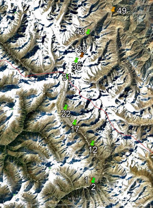
Google Earth views:
|
|
|
|
Entire leg. |
Part 2/3 of leg. |
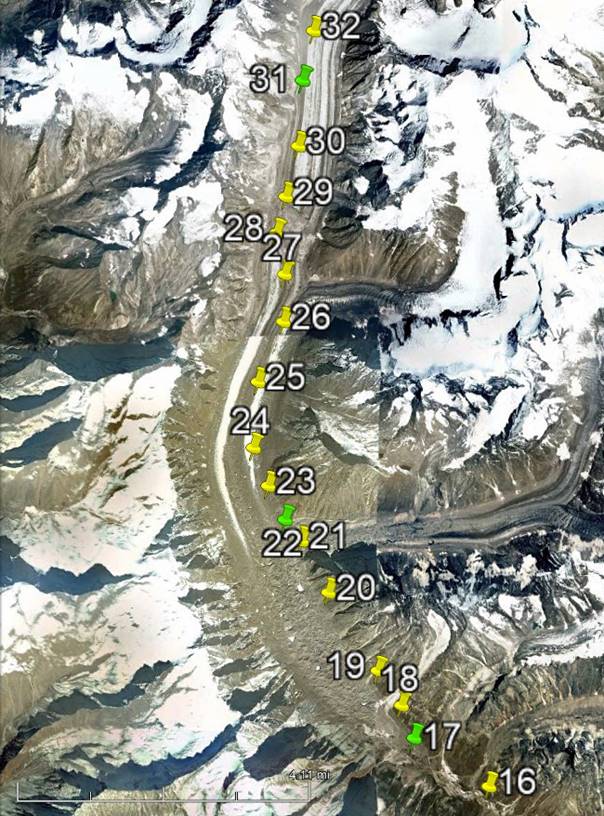
[Reminder: Click here (kmz file) and open the
downloaded file in Google Earth to access the GPS waypoints (numbered 1 to 49 for
the first leg and 50 to 78 for the second leg) that I recorded during the trek:
red pins for starts, orange for finishes, green for camps, brown for passes,
and yellow for other waypoints.]
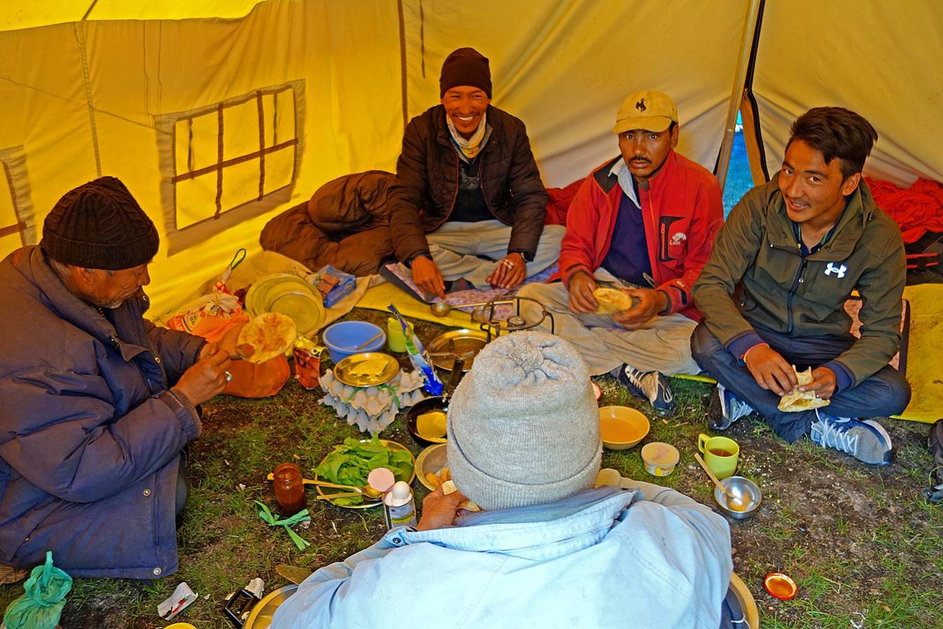
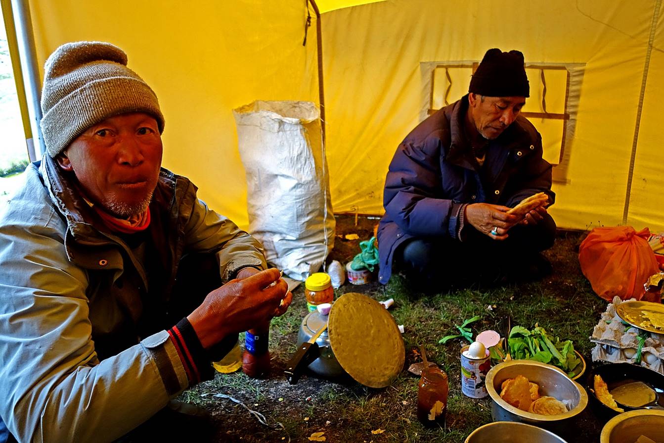
Day 3 of
trek:
Breakfast in the large tent at the WP #17 camp: chapatis,
jam, cheese, eggs...
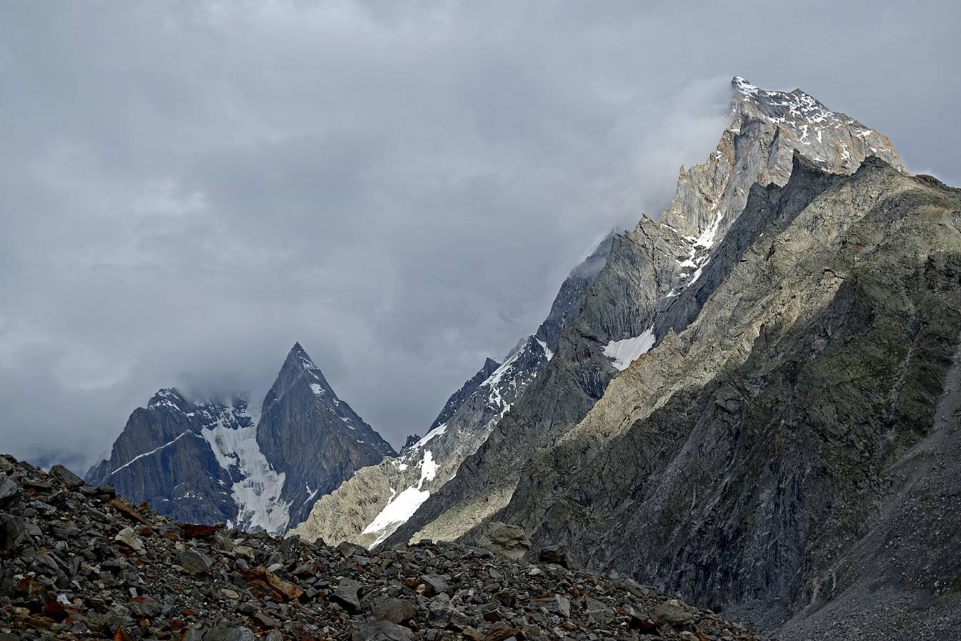
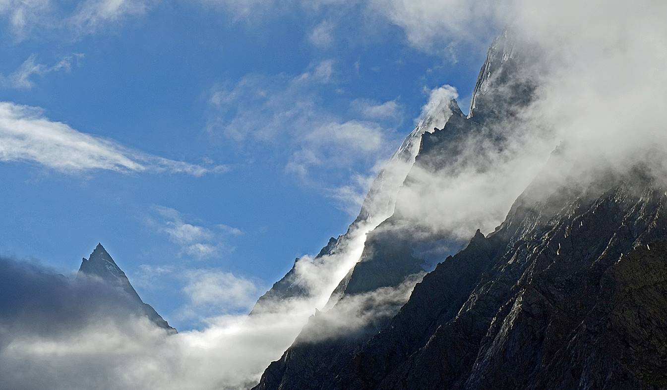
Views of the mountains above the camp.
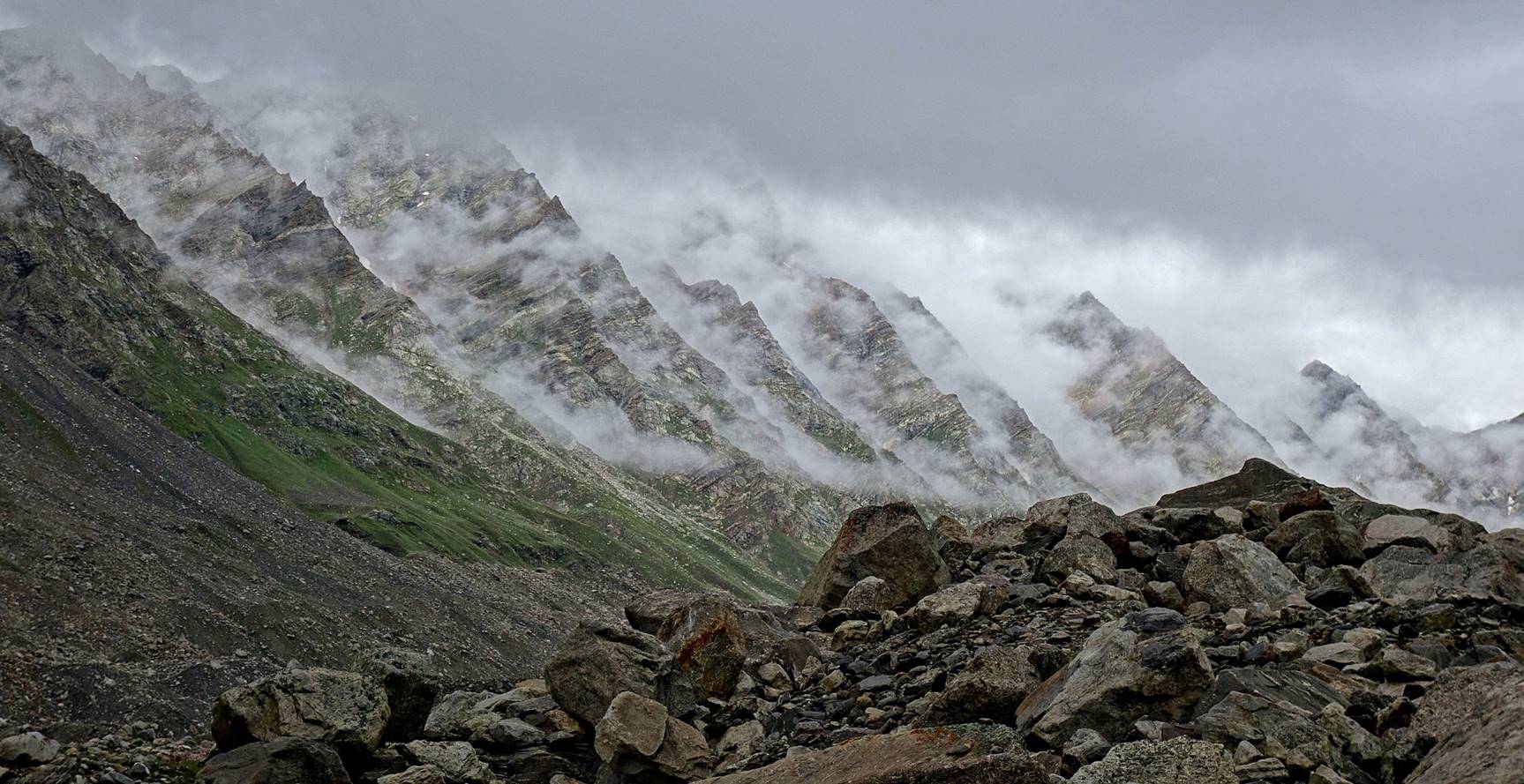
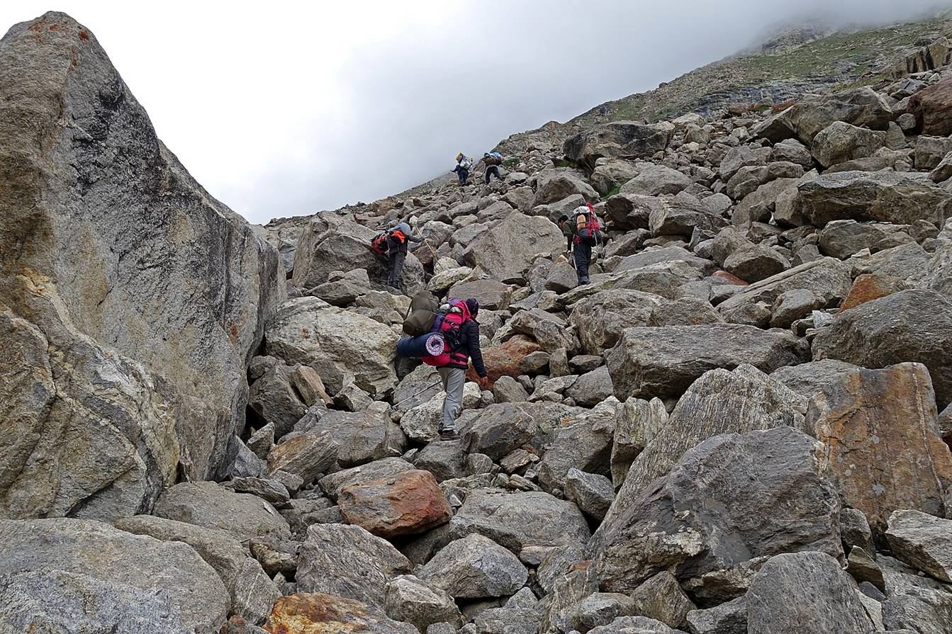
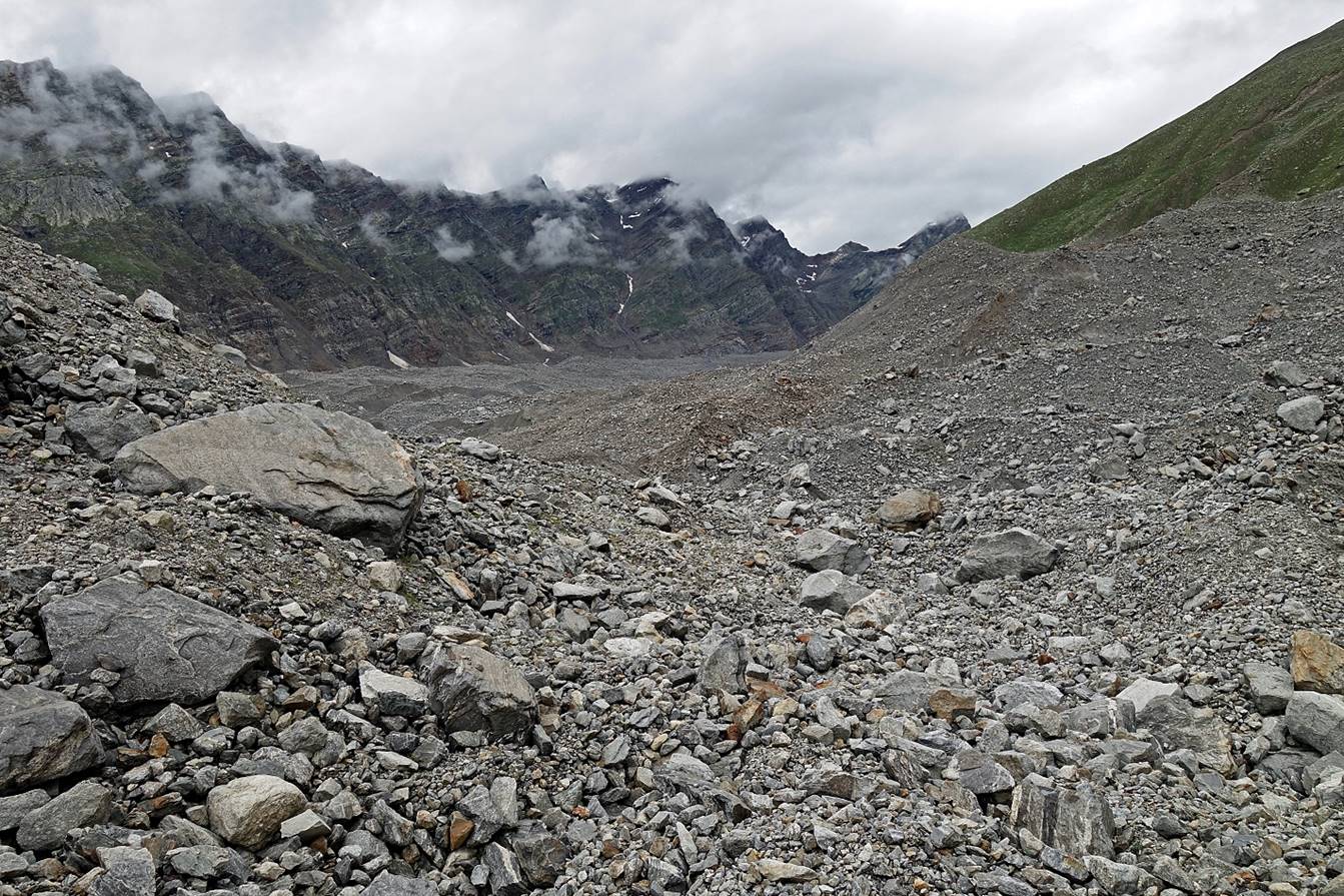
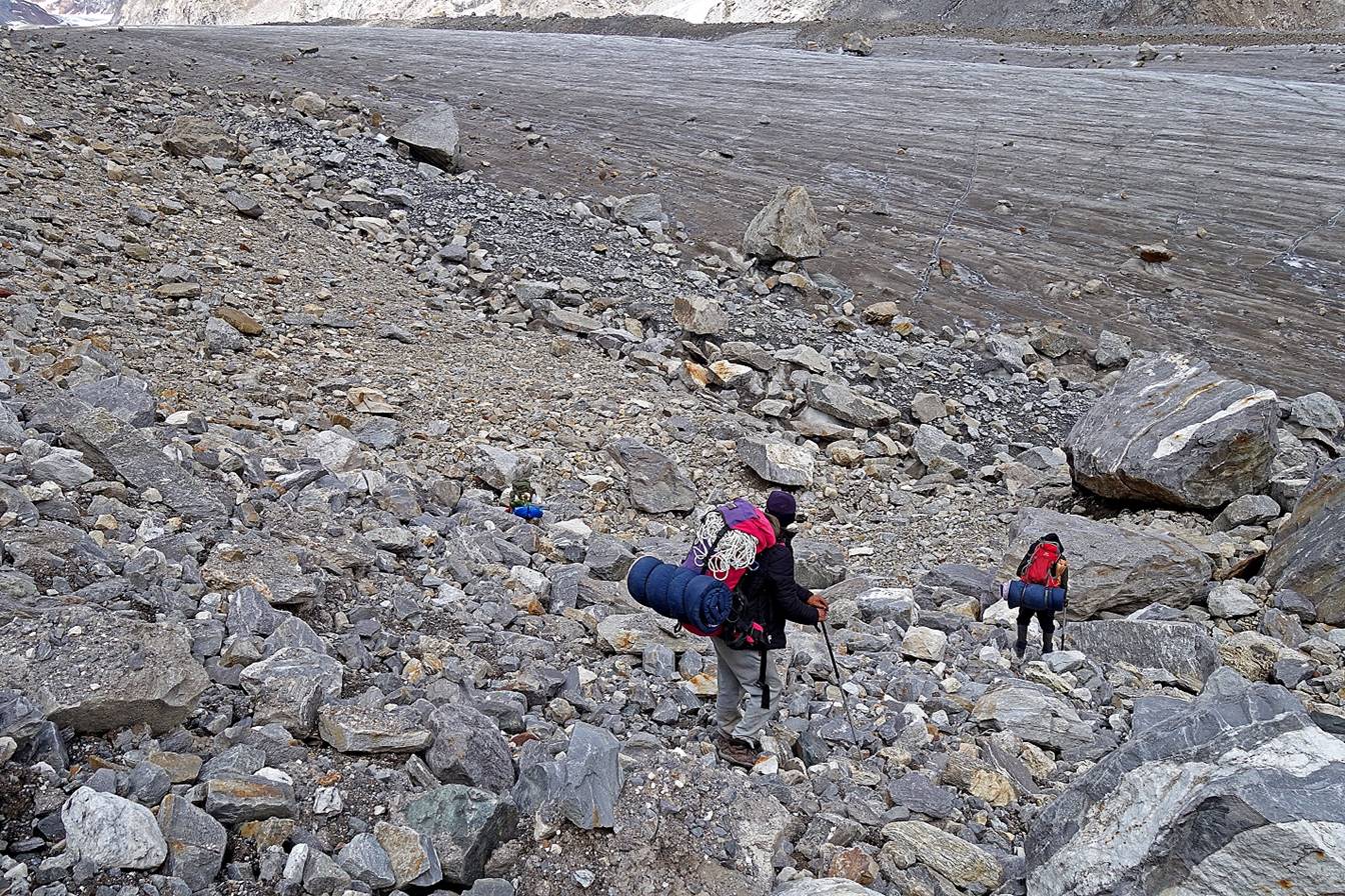
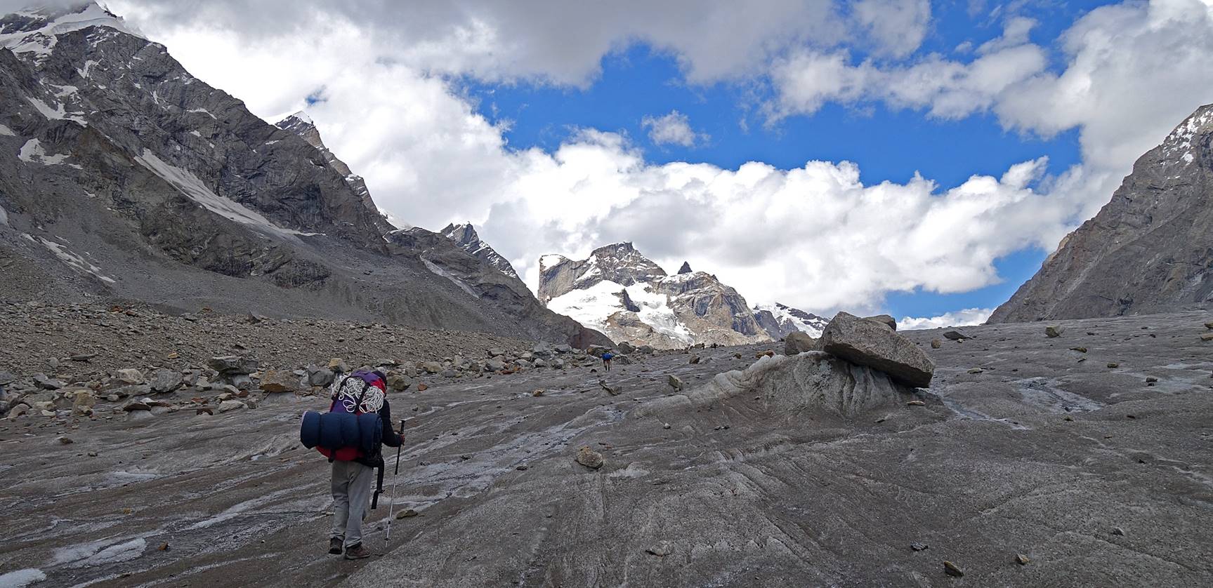
Immediately after leaving the camp we
made a relatively short, but steep ascent on the right flank of the valley,
among large boulders. The goal was to avoid hiking on the chaotic lower part of
the Miyar glacier.
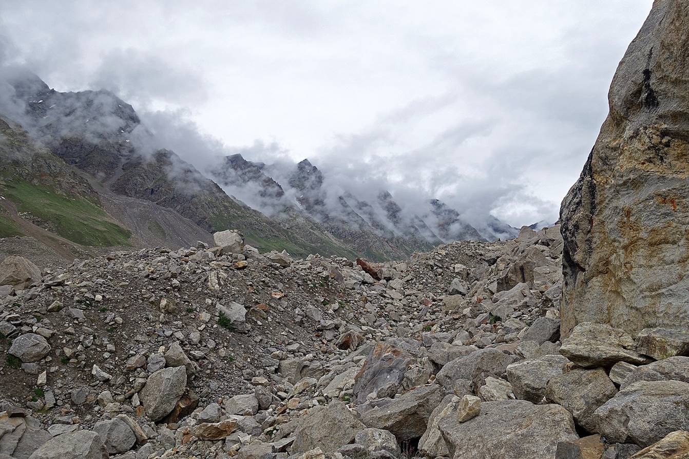
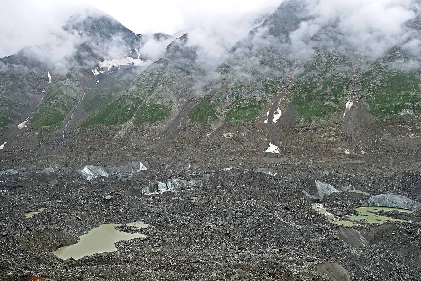
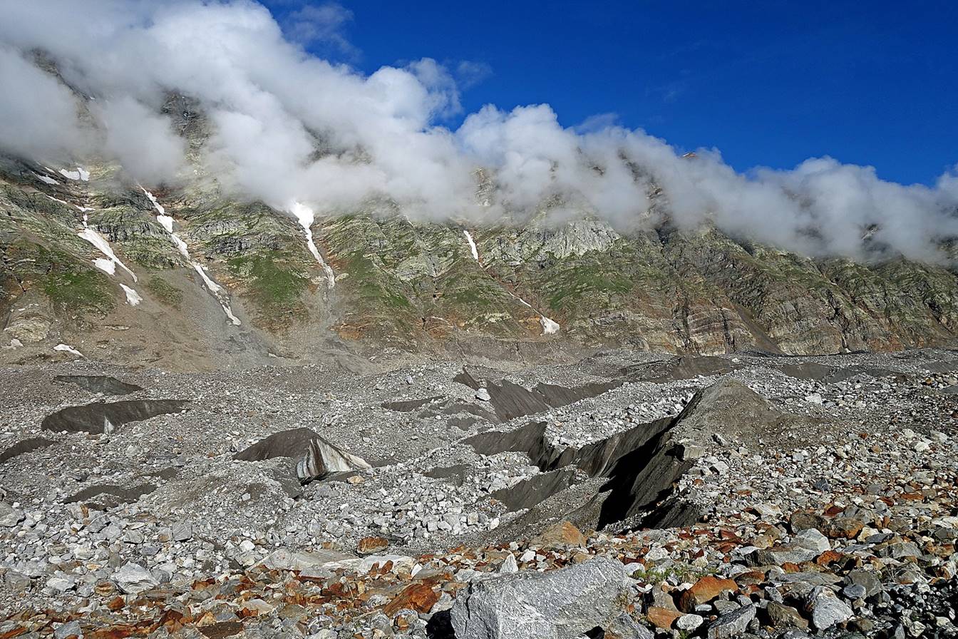
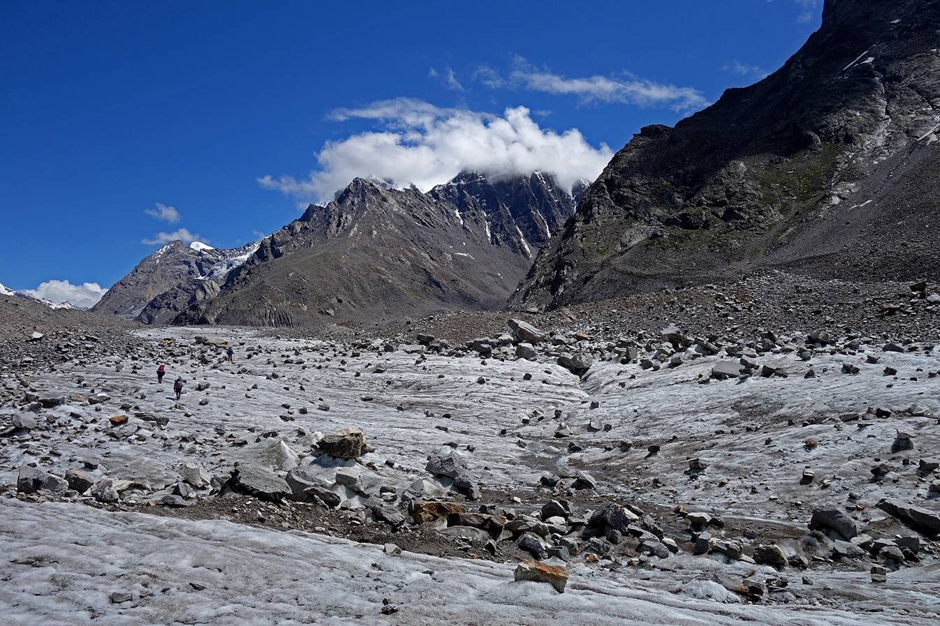
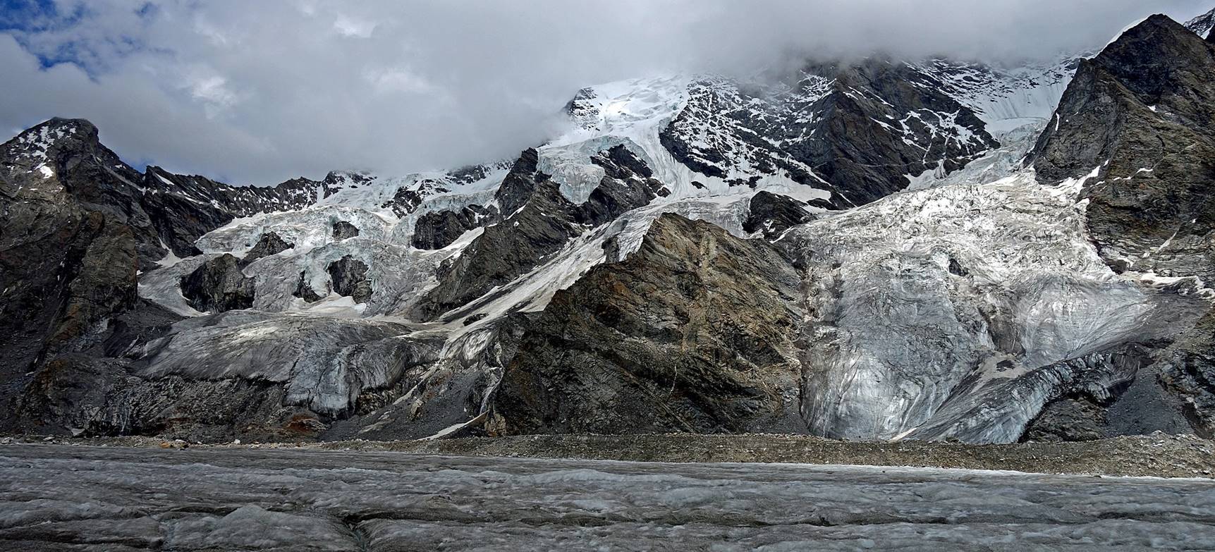
We soon got a good view over the Miyar glacier
(covered by rocks and debris).
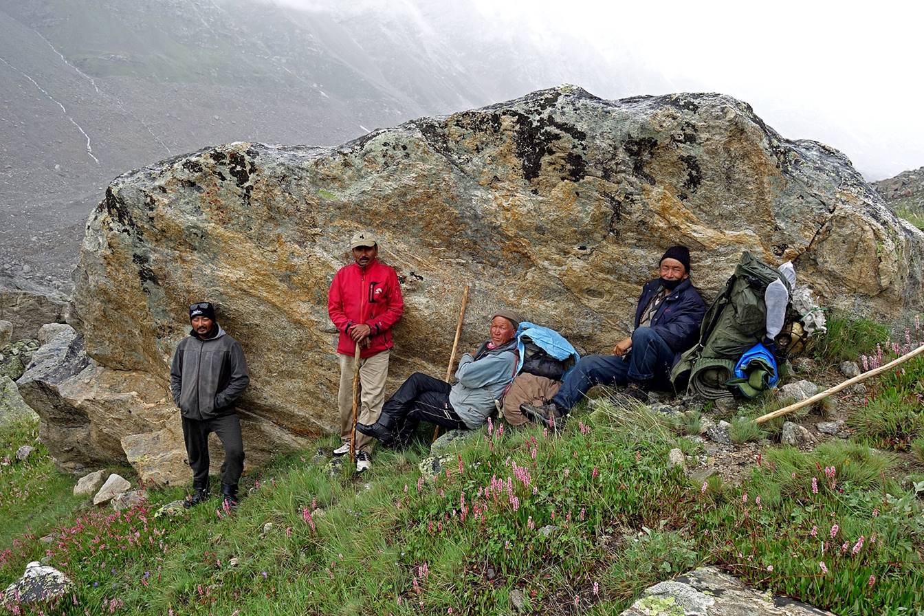
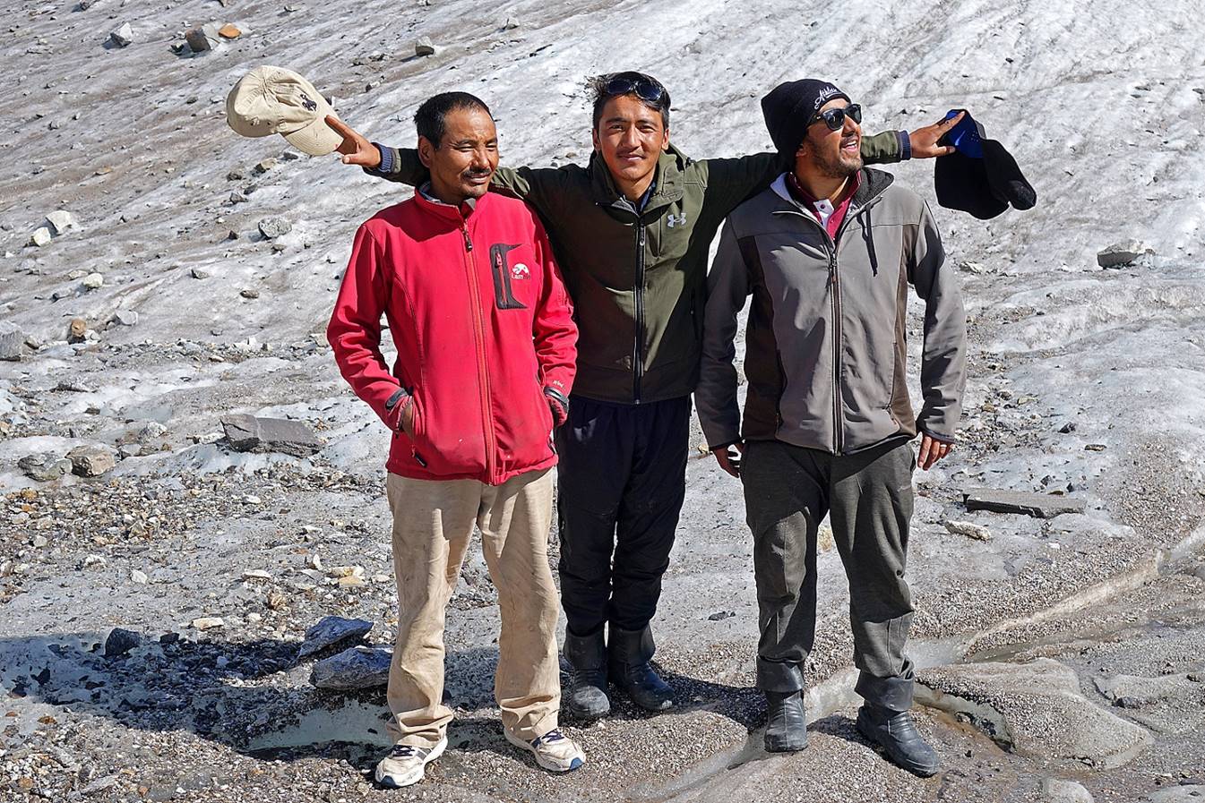
Laskhap, Rinchen, Anchuk and Falkays taking a rest
sheltered from the wind.
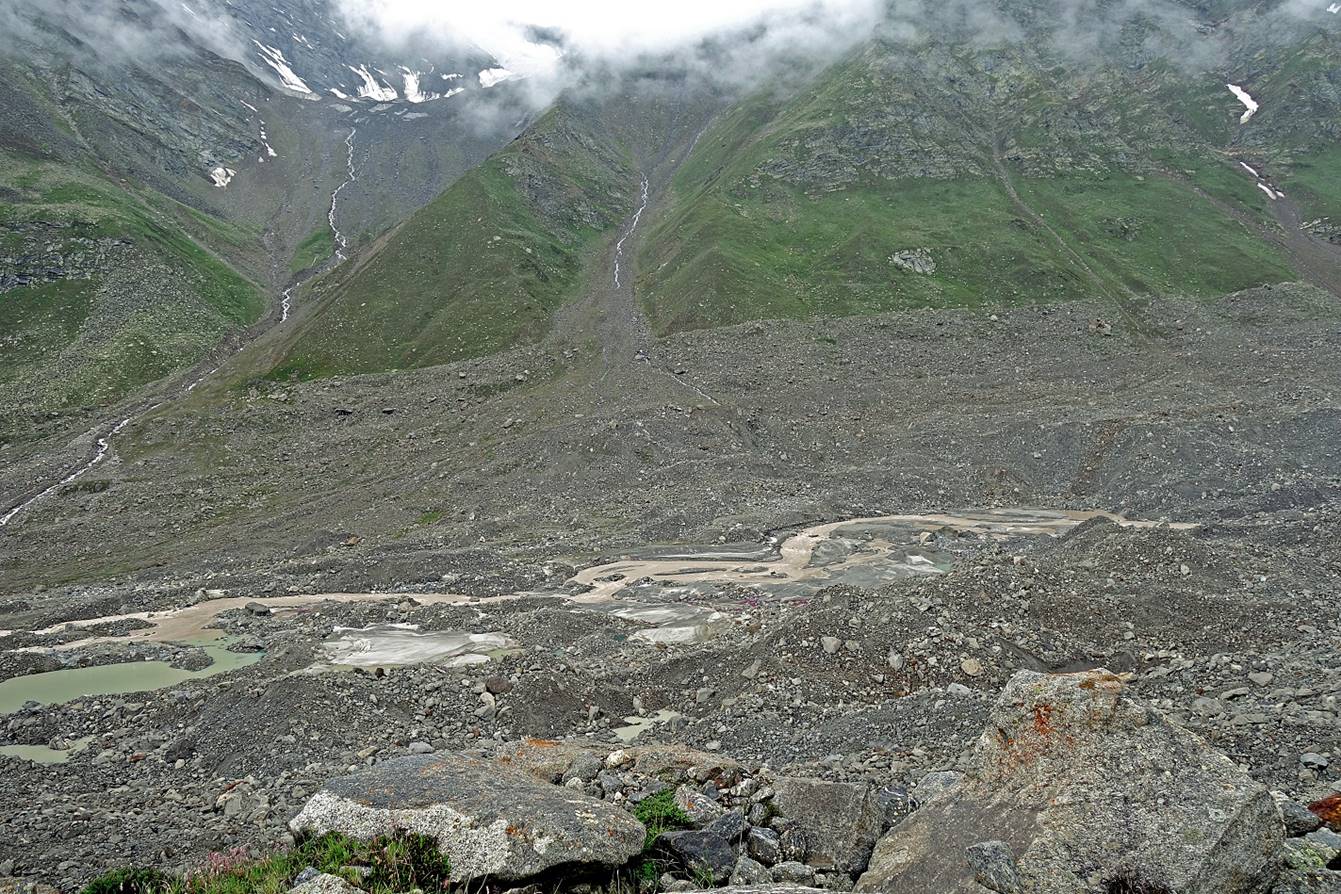
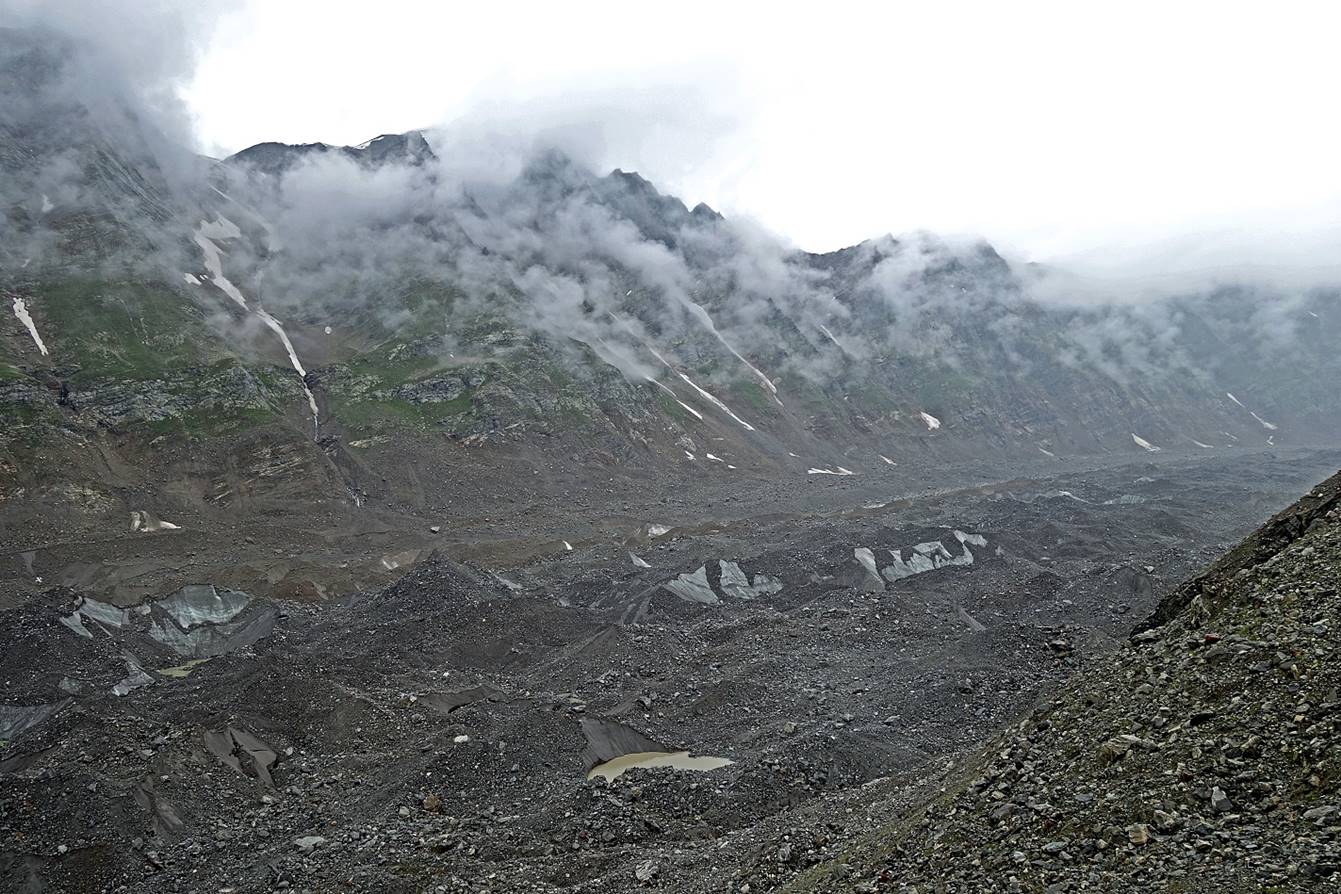
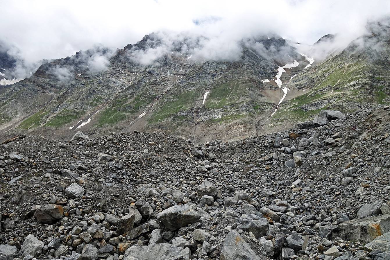
More views of the glacier along the way.

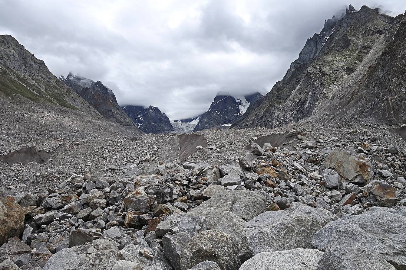
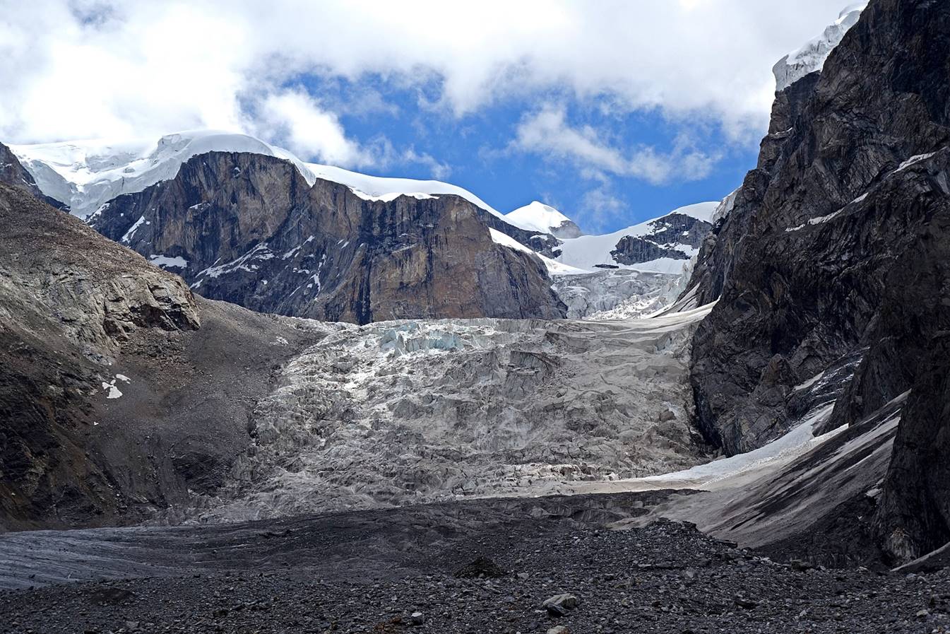
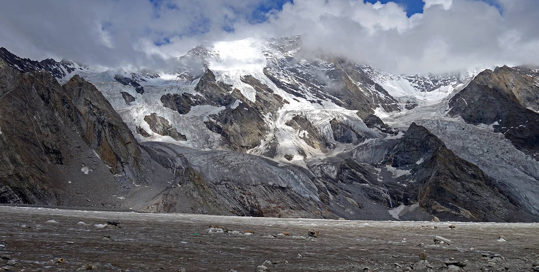
Reaching the Takdung glacier (following two
photos) that ″flows″ into the Miyar
Glacier at WP #21. Here, we had no choice other than hiking on the glacier.

View toward the north across the
confluence of the two glaciers. We noticed that there were hundreds of sheep on
the green slope visible on the right side of the photo. We later learned that
they had come with two shepherds along the same path as us from the low Miyar Nala valley. I can′t
imagine driving hundreds of sheep across this terrain.
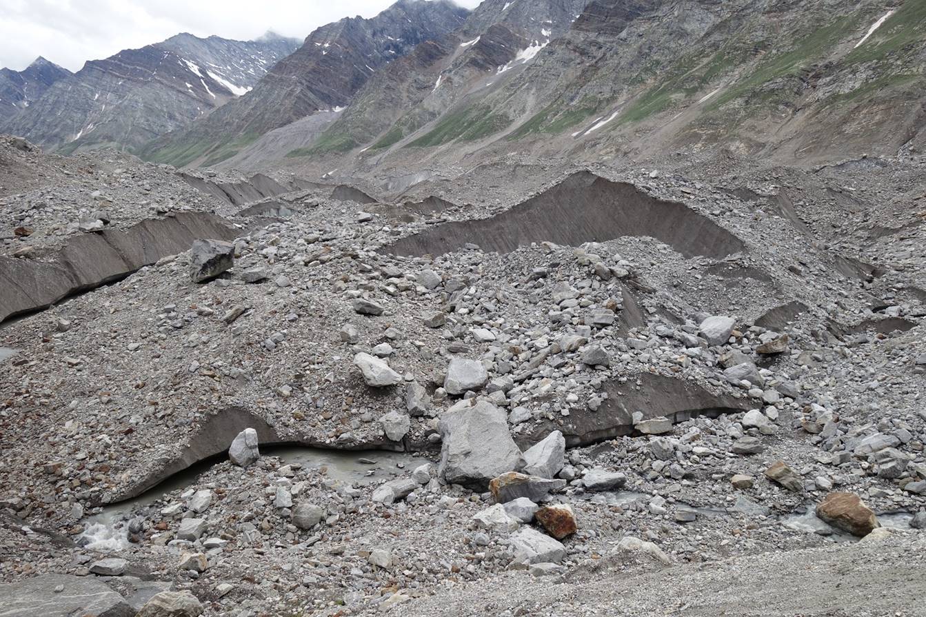
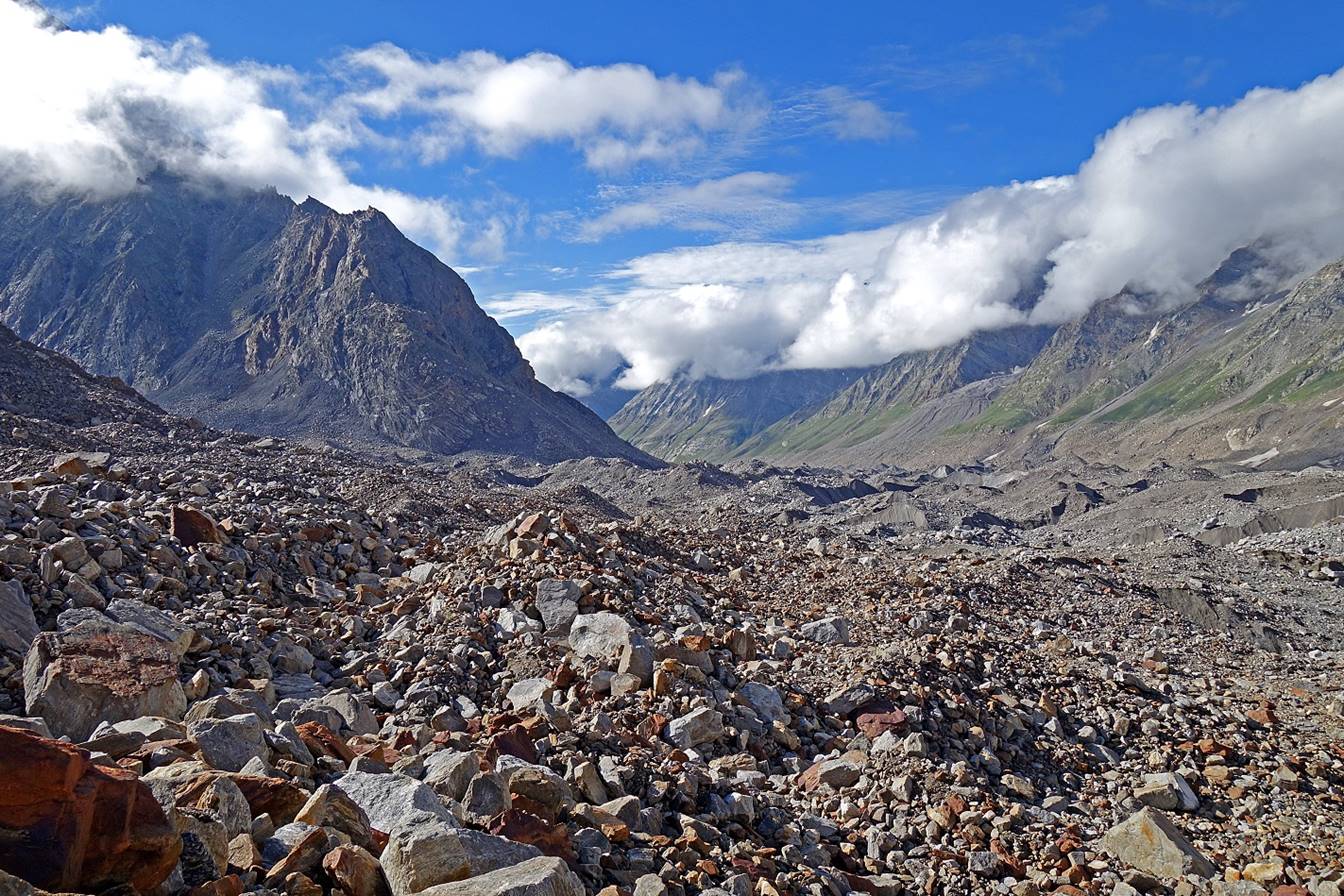
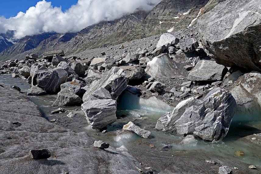
The glacier is covered with rocks...
...but the ice is not far below, with caves and big holes.

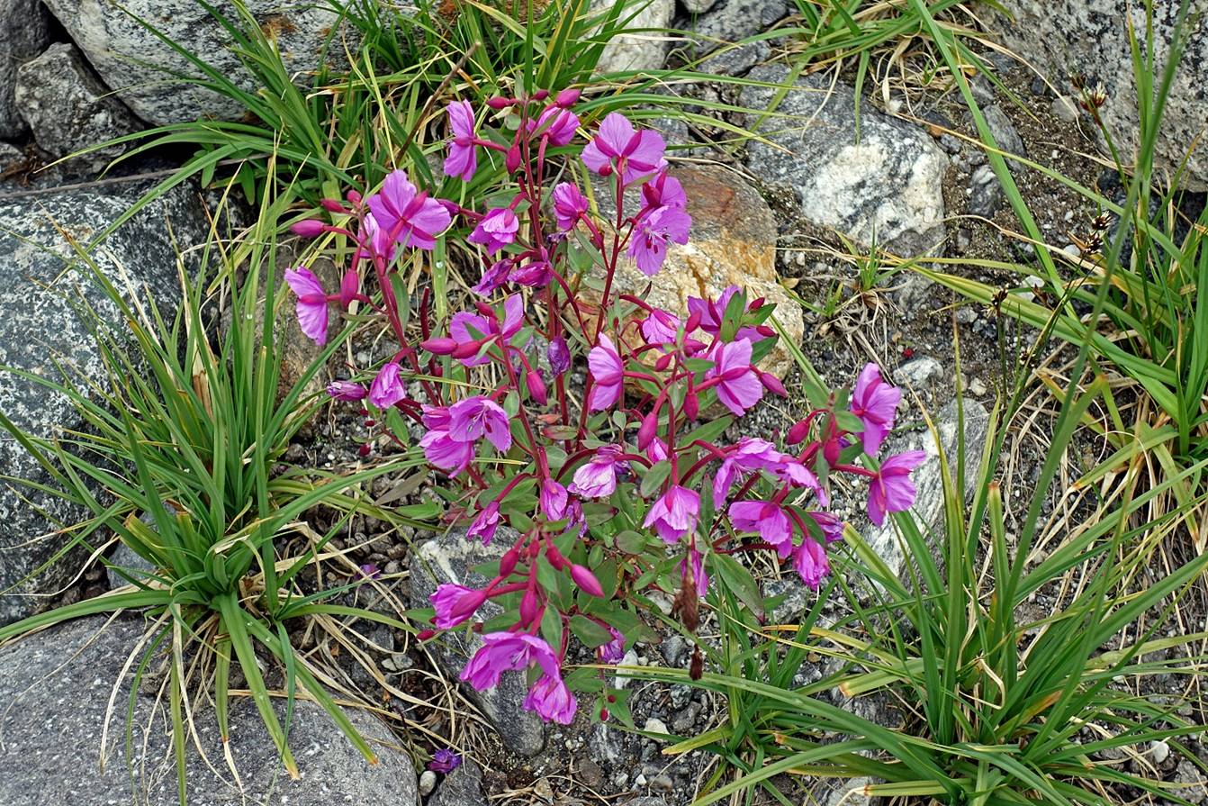
We eventually set our fourth camp on a small patch of flat terrain with
some grass and even flowers (WP #22).
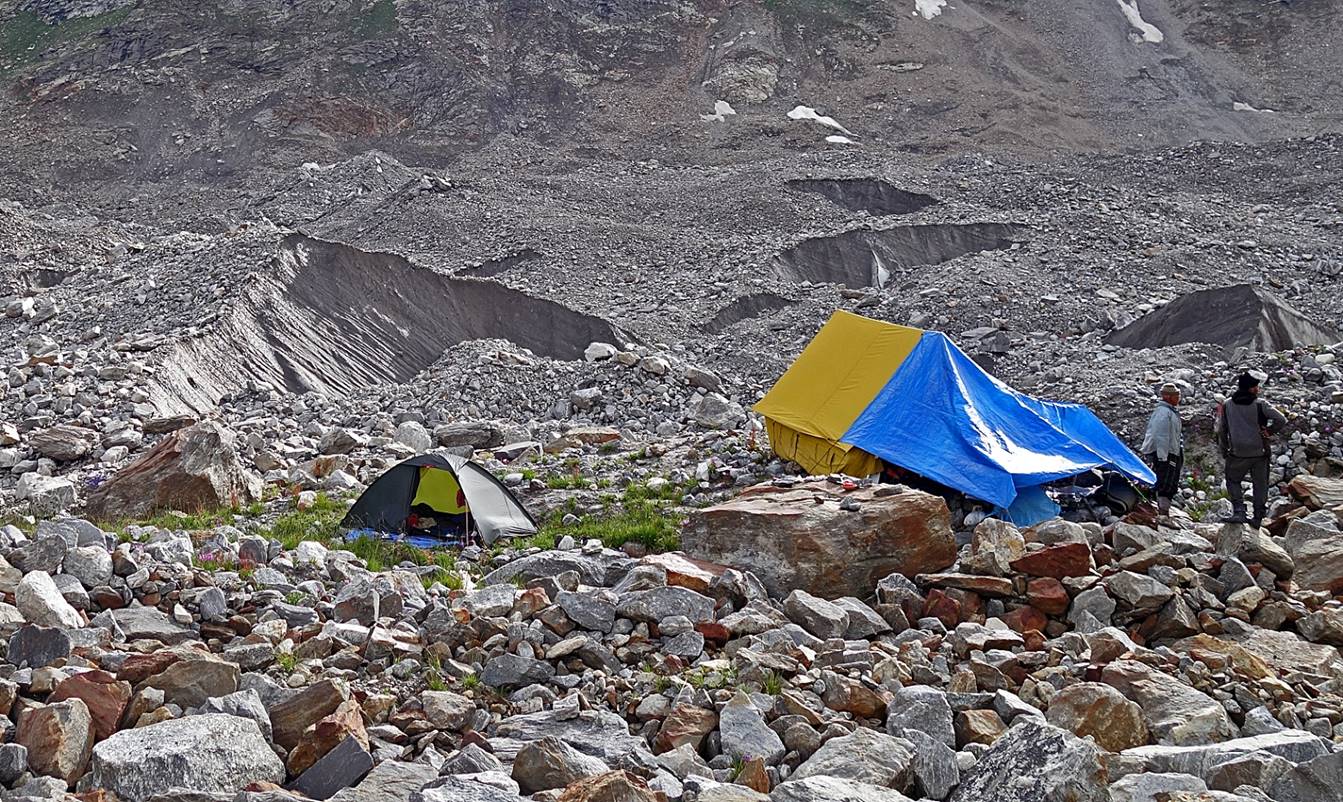
Despite standing above a thick layer of
ice, the camp felt reasonably comfortable.
Soon the two dogs of the shepherds paid us a friendly visit.

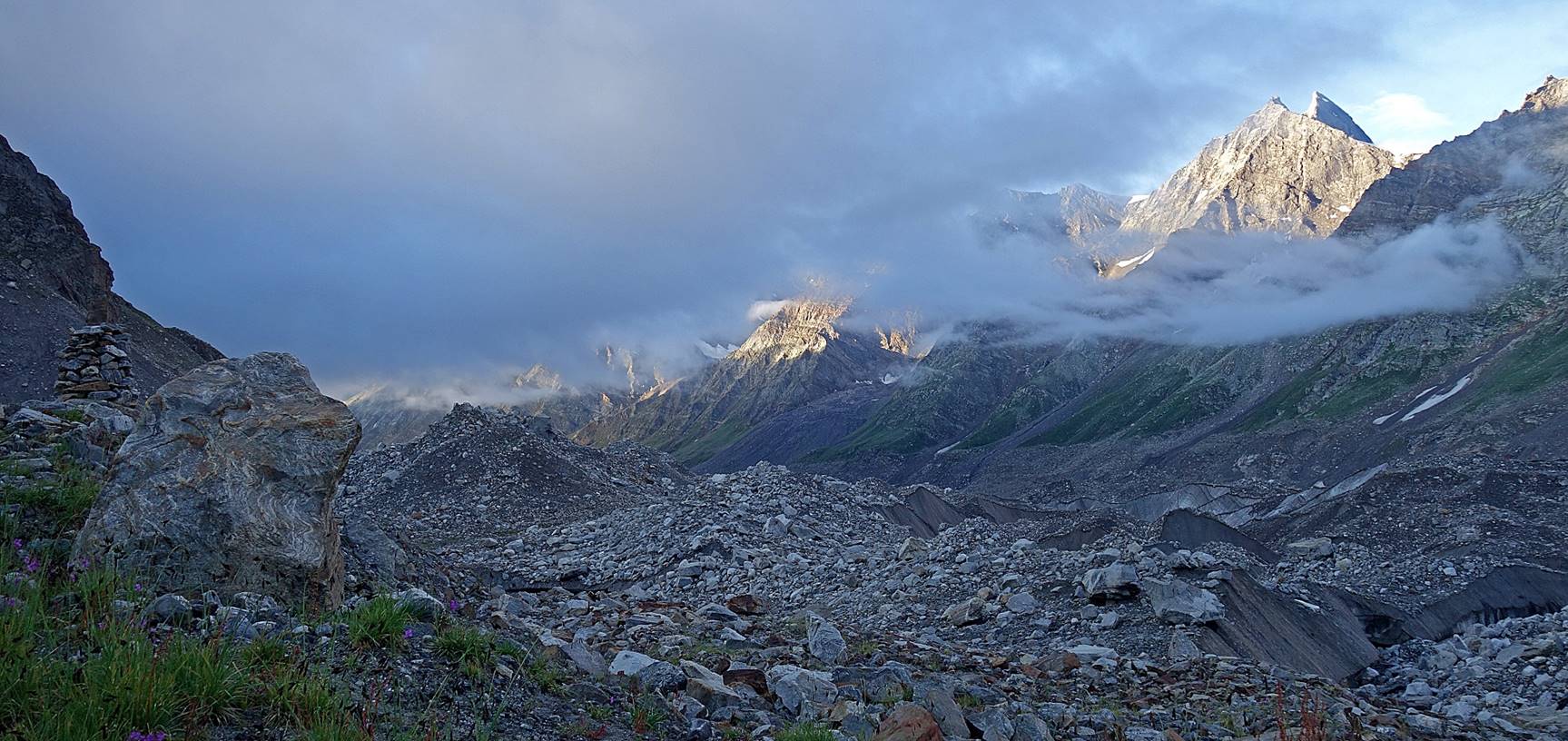
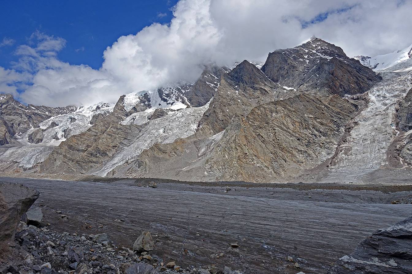
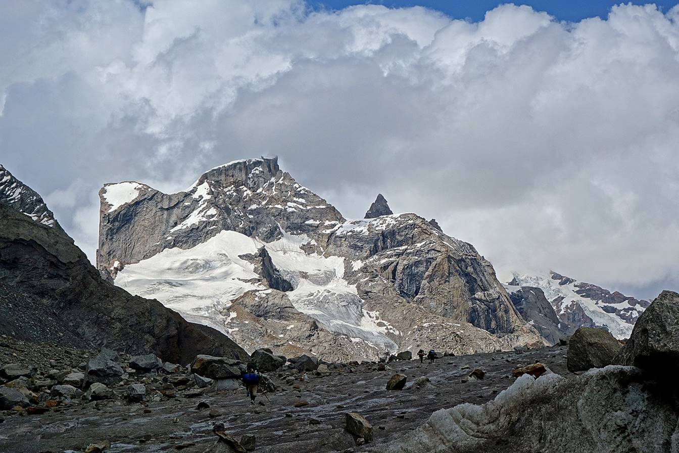
Views of peaks overlooking the Takdung glacier
on the east of our camp.
Day 4:
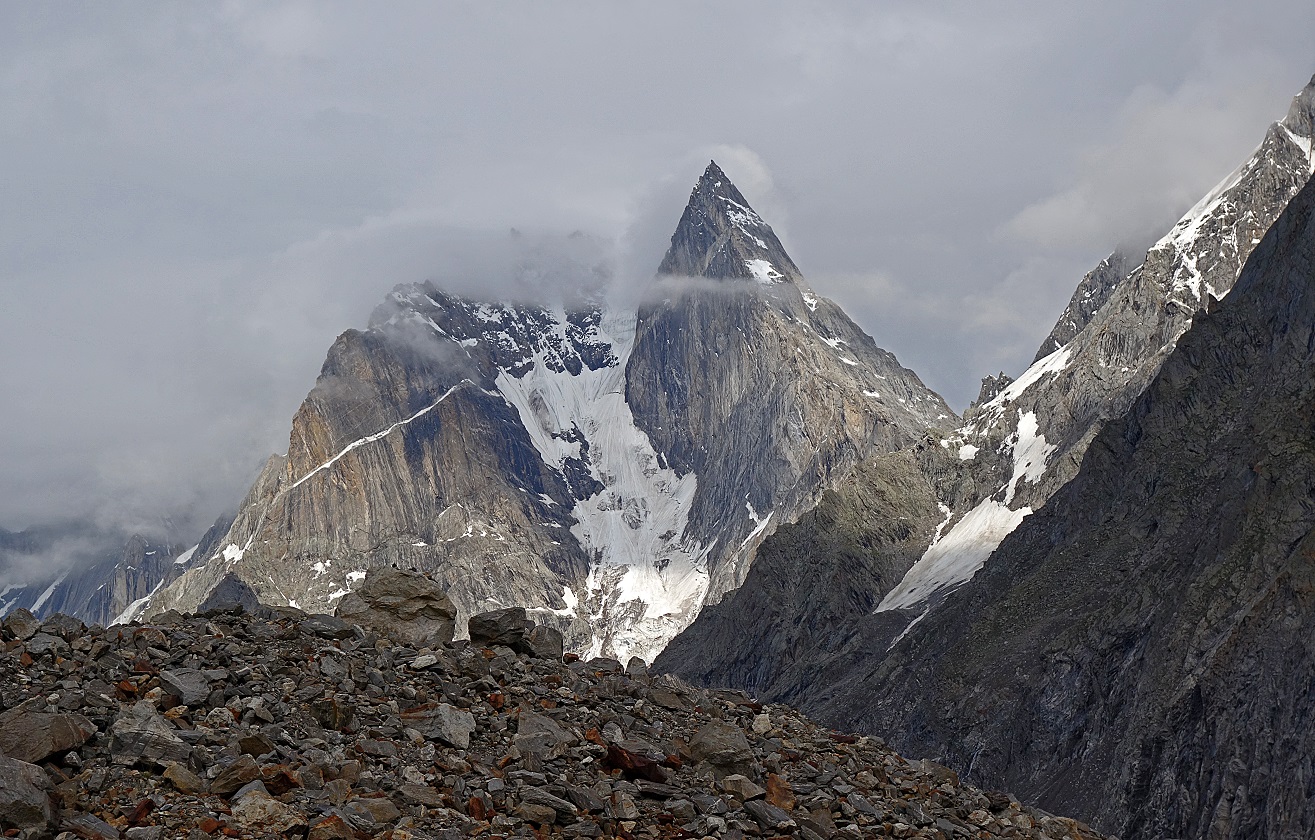
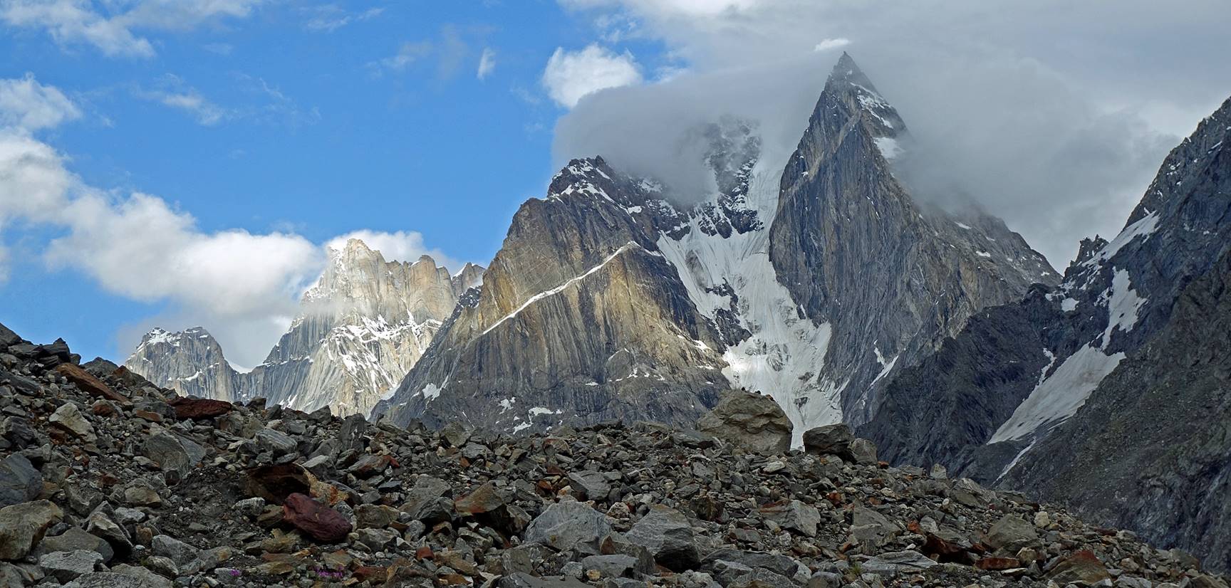
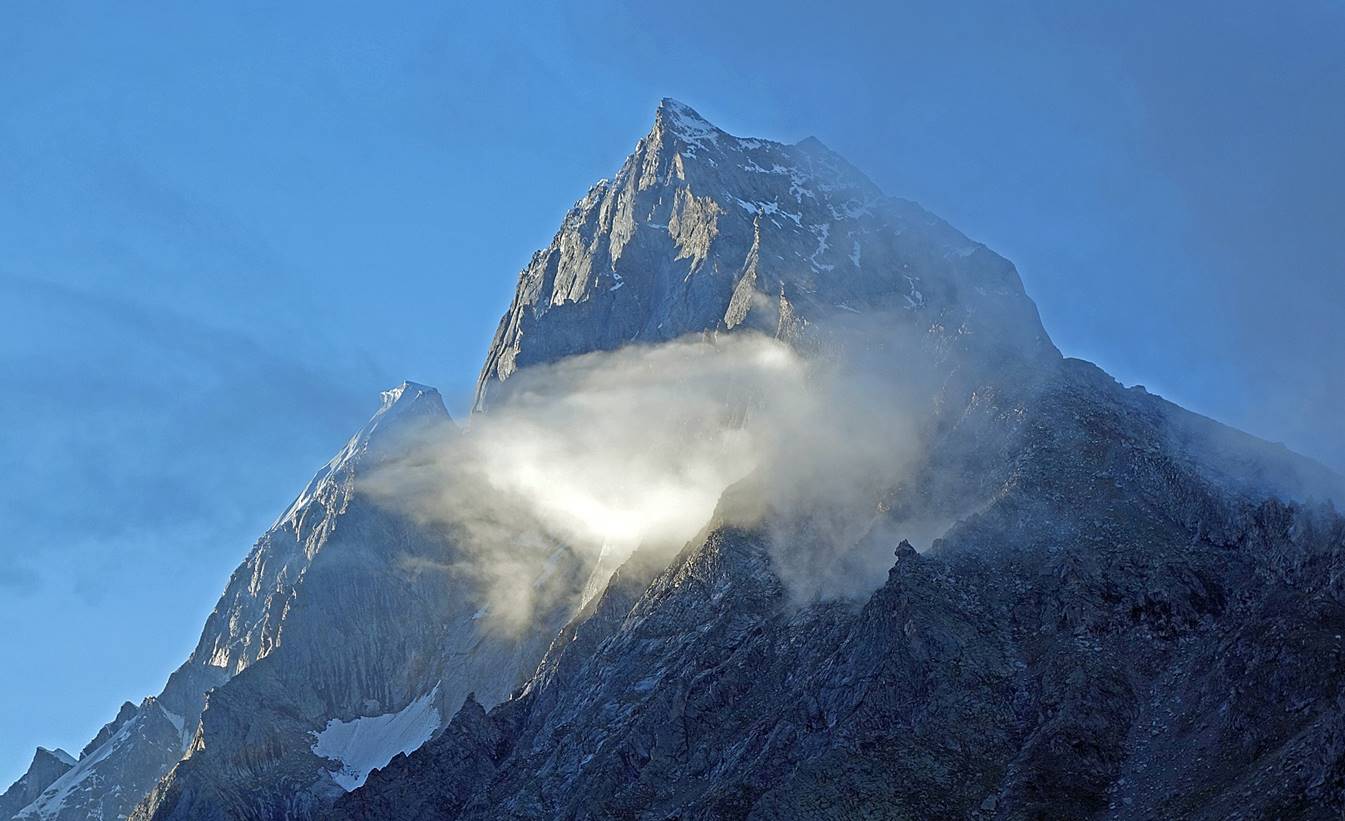
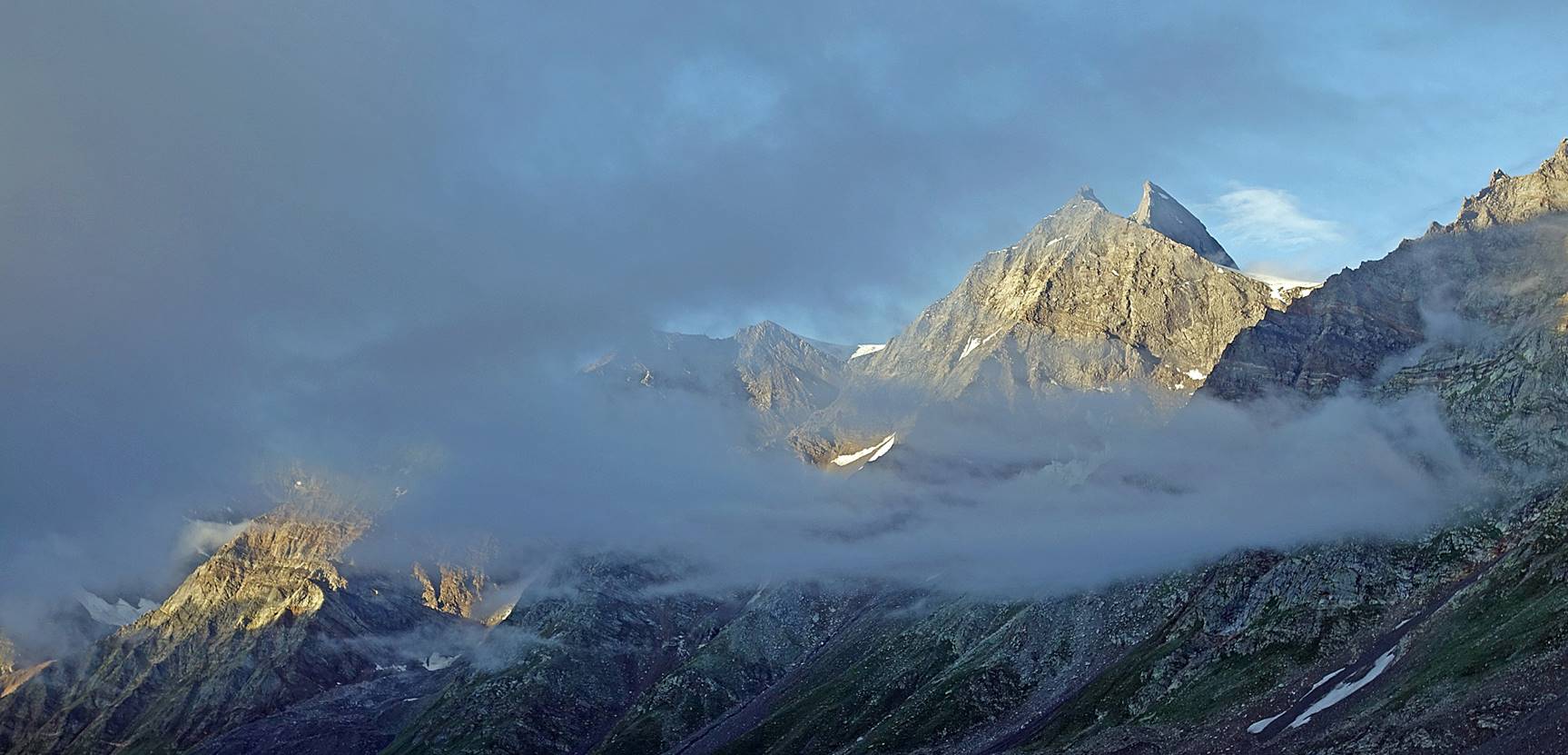
More views of surrounding peaks in the morning sun.
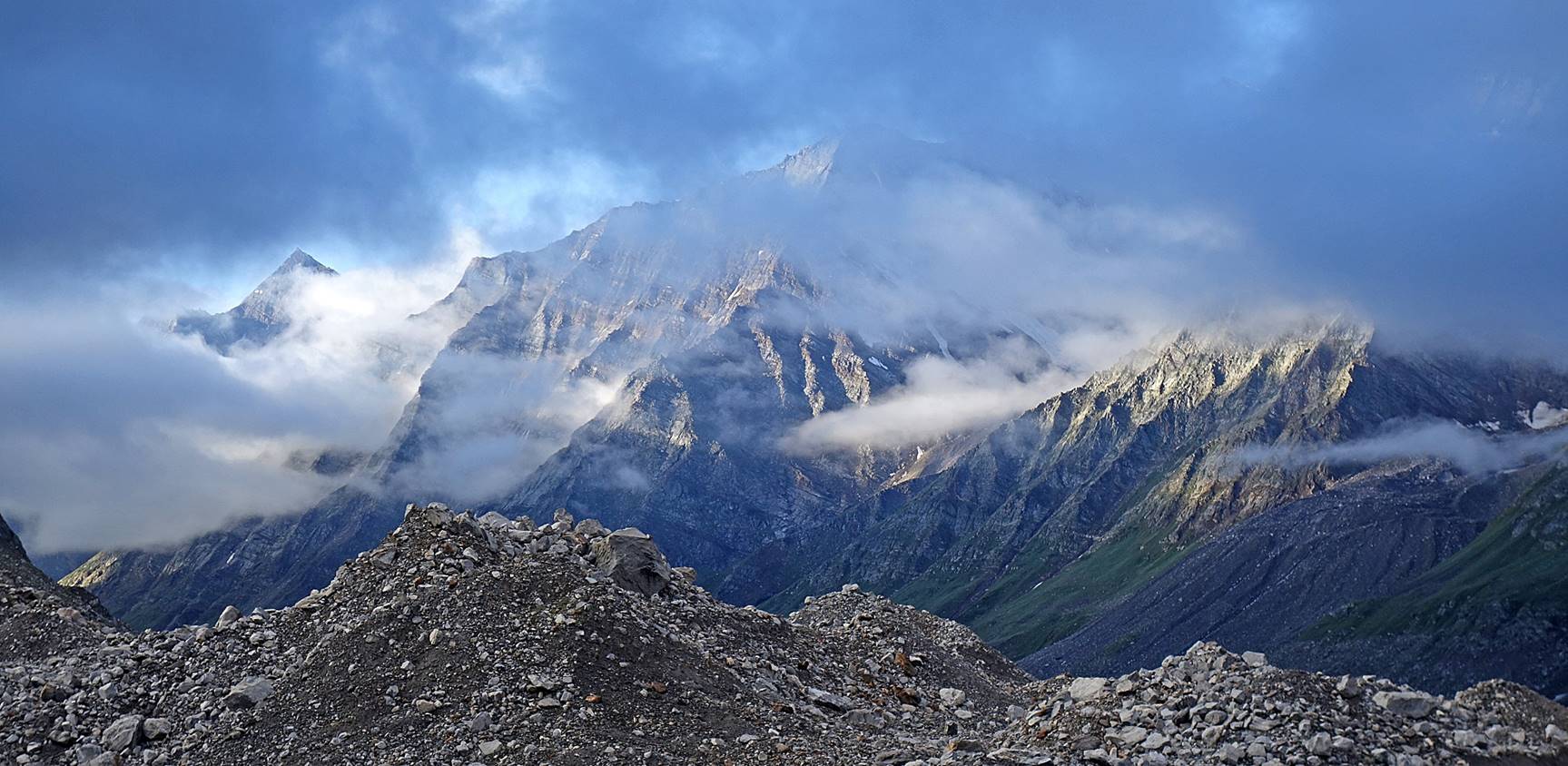
The Miyar glacier above our camp.

Looking back toward the south.
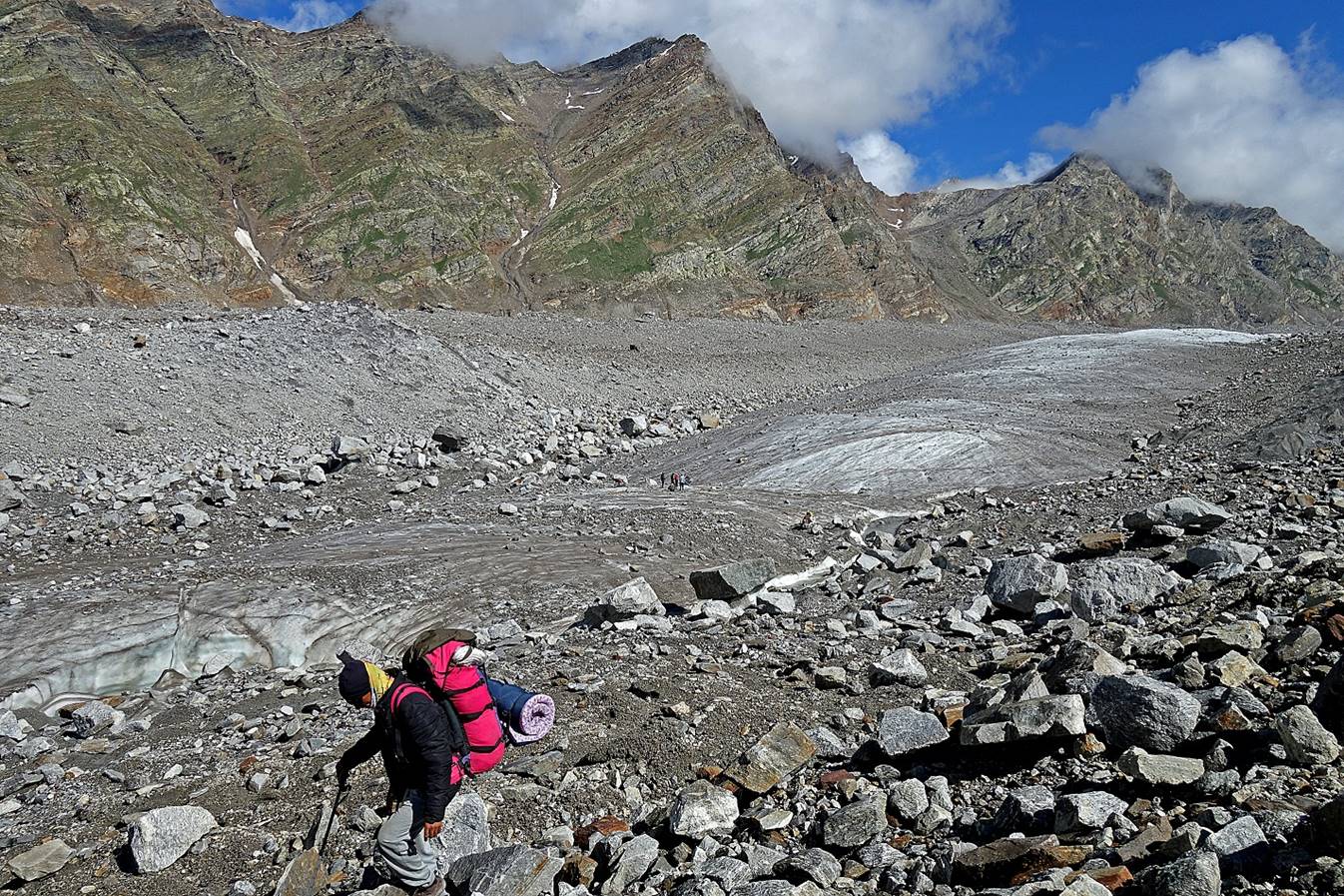
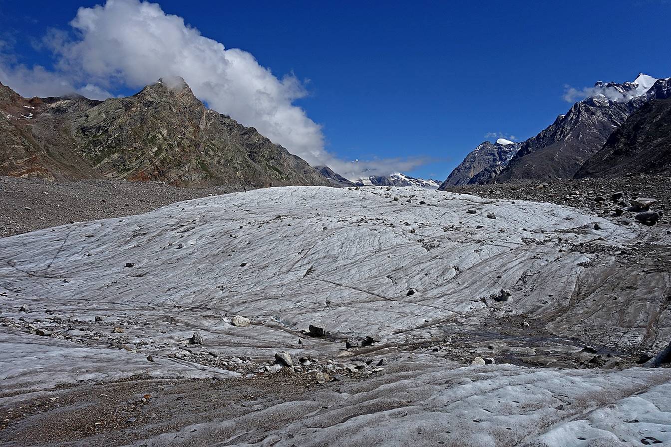
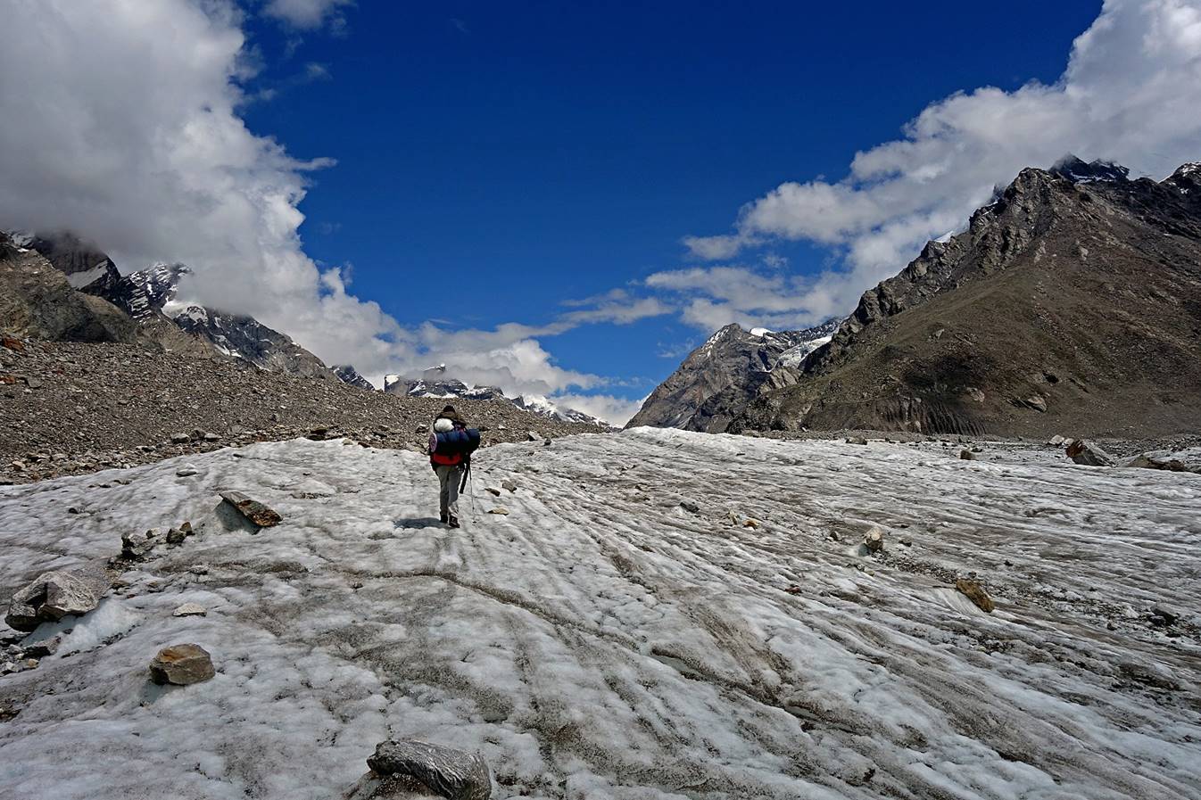
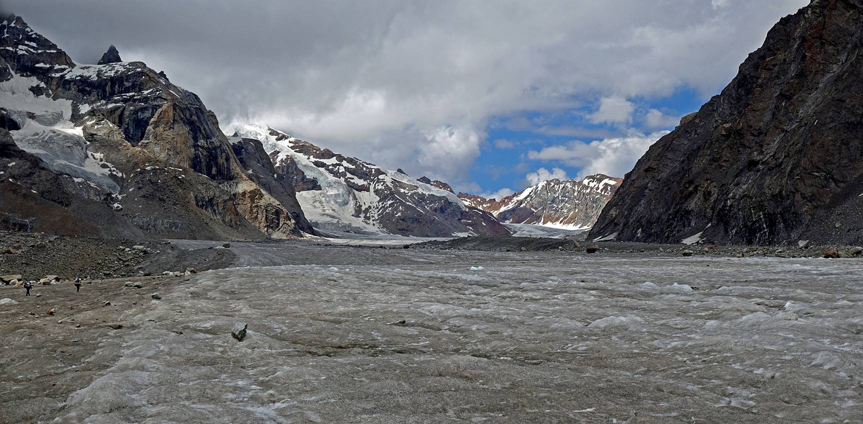
Reaching a ″clean″ section of the Miyar
glacier with Tundup just ahead of me and the rest of
the team further ahead.
Rinchen, Stenzing,
and Lashkap (first photo below) and Anchuk and Falkays (second photo)
enjoying the sun.

River streams at the base of the clean section of the glacier.
|
|
|
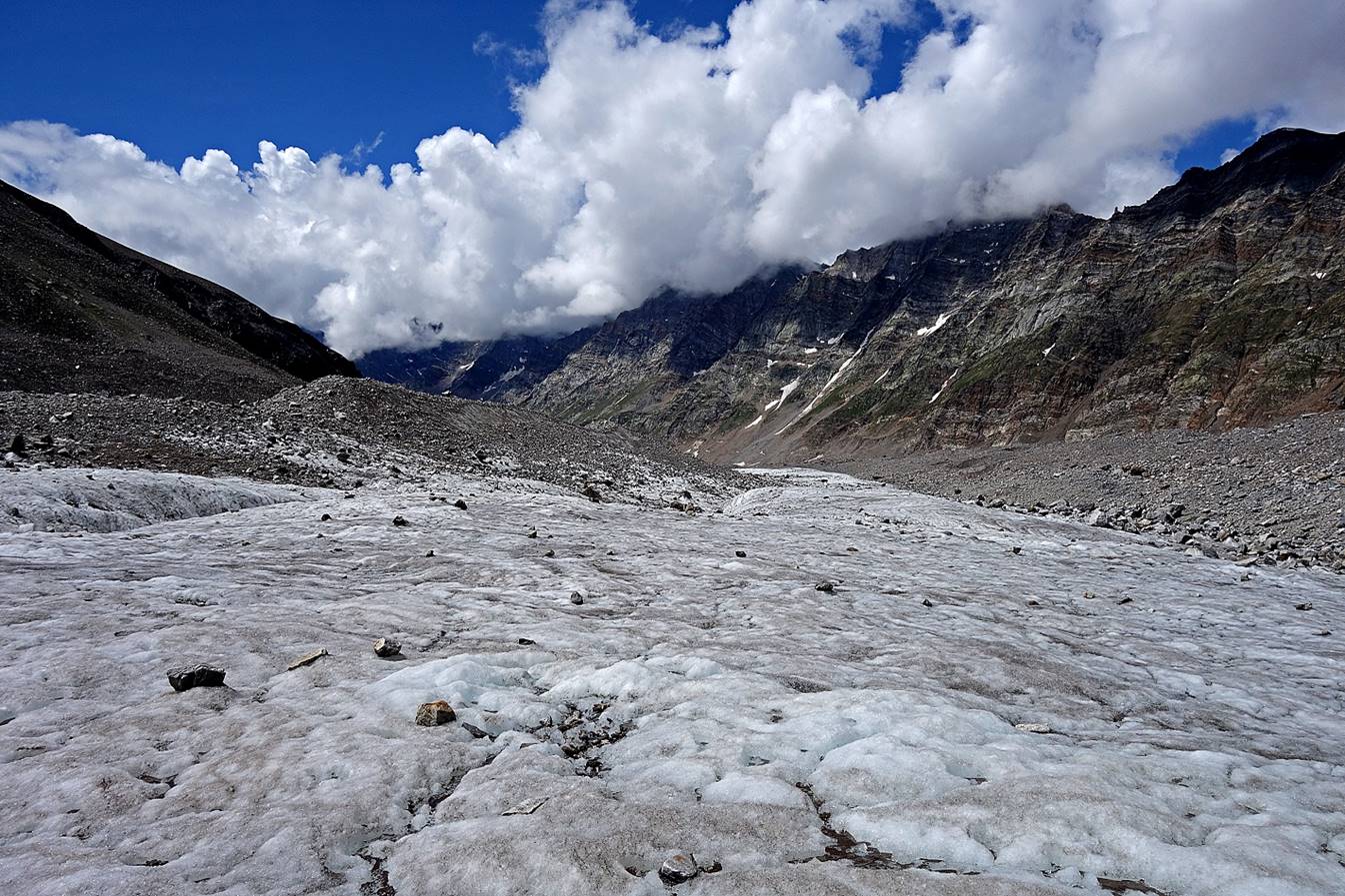
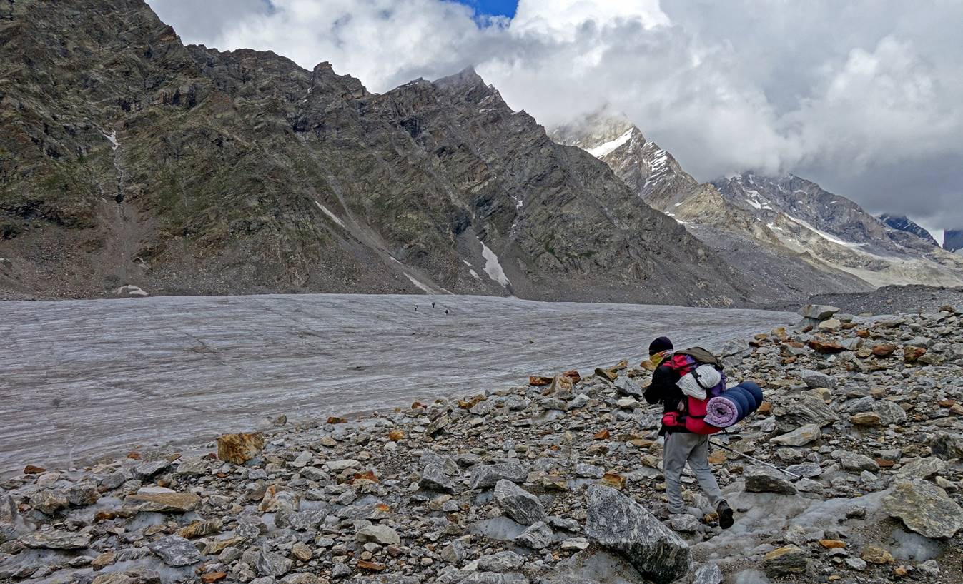
Hiking on this clean section was definitively much more pleasant and
faster.

Rivers in the glacier.

Further up.

Looking back down a clean section of the glacier.
Confluence with another smaller glacier on the eastern side of the main
valley.
Further up, again with Tundup ahead of me and
several other team members much further on another clean section of the
glacier.
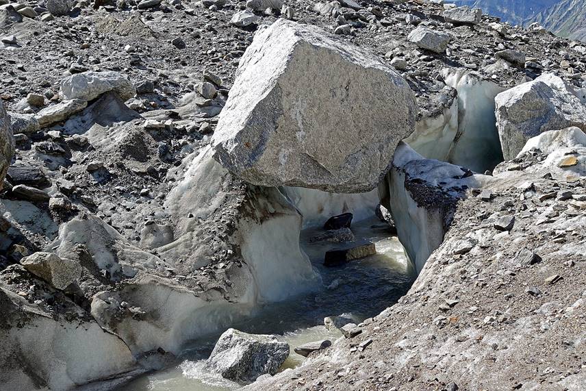
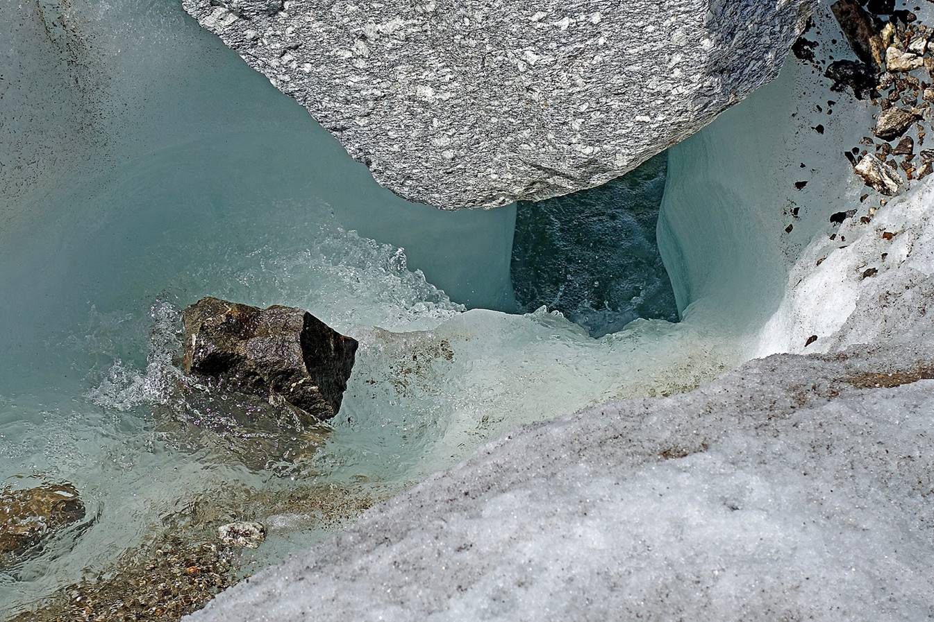
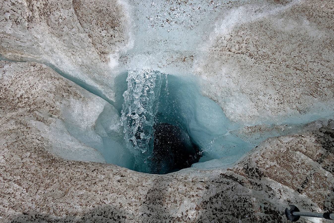
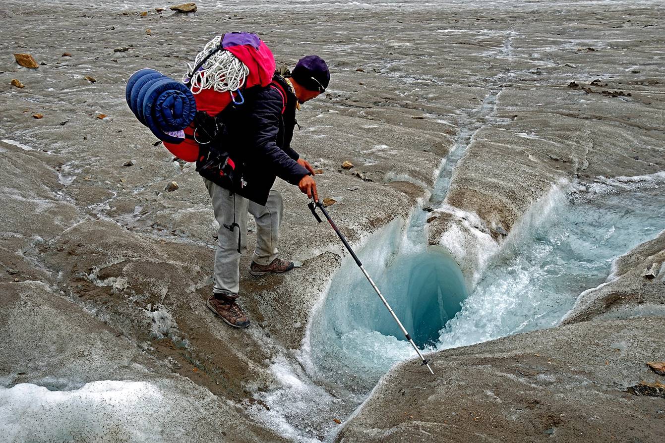
Water falling into a deep hole in the glacier. Better not to fall in this
kind of hole.
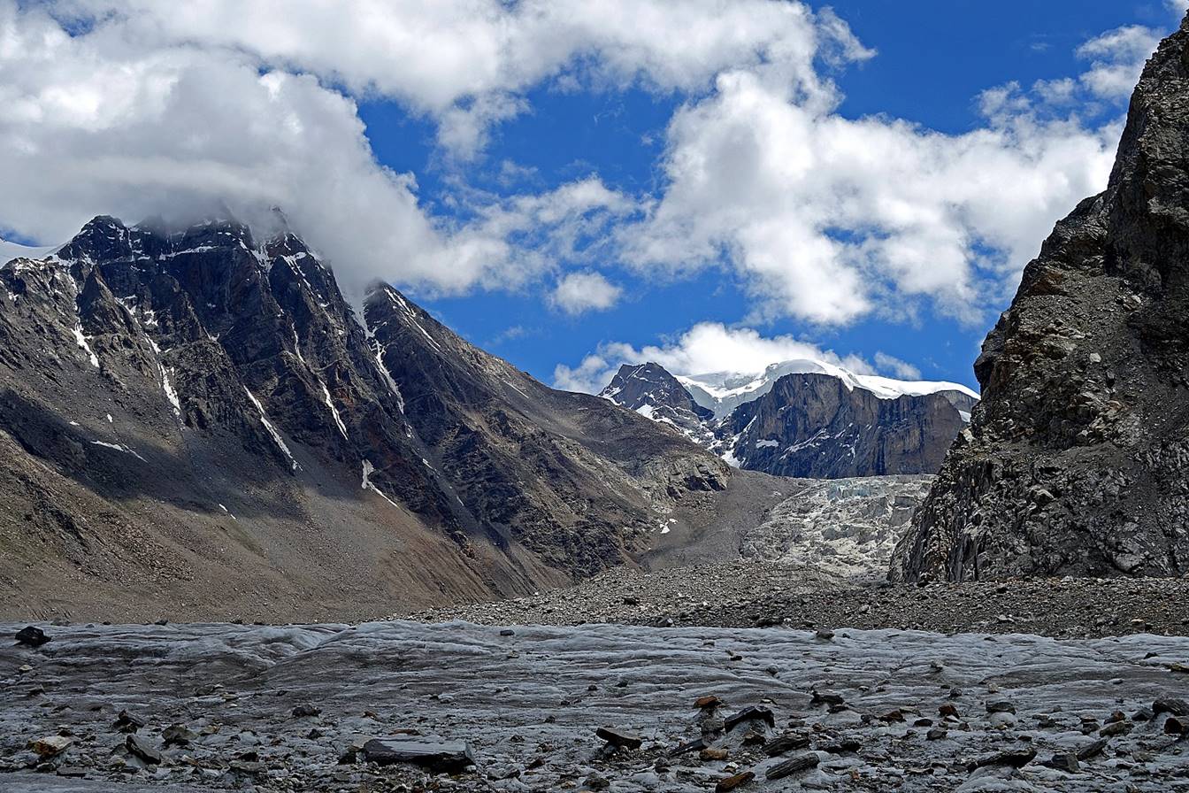
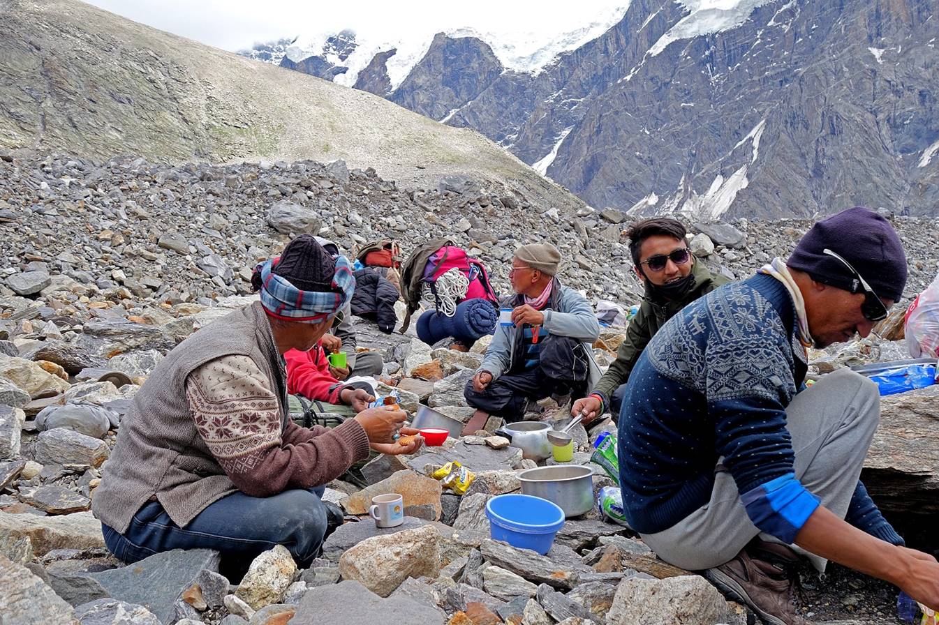
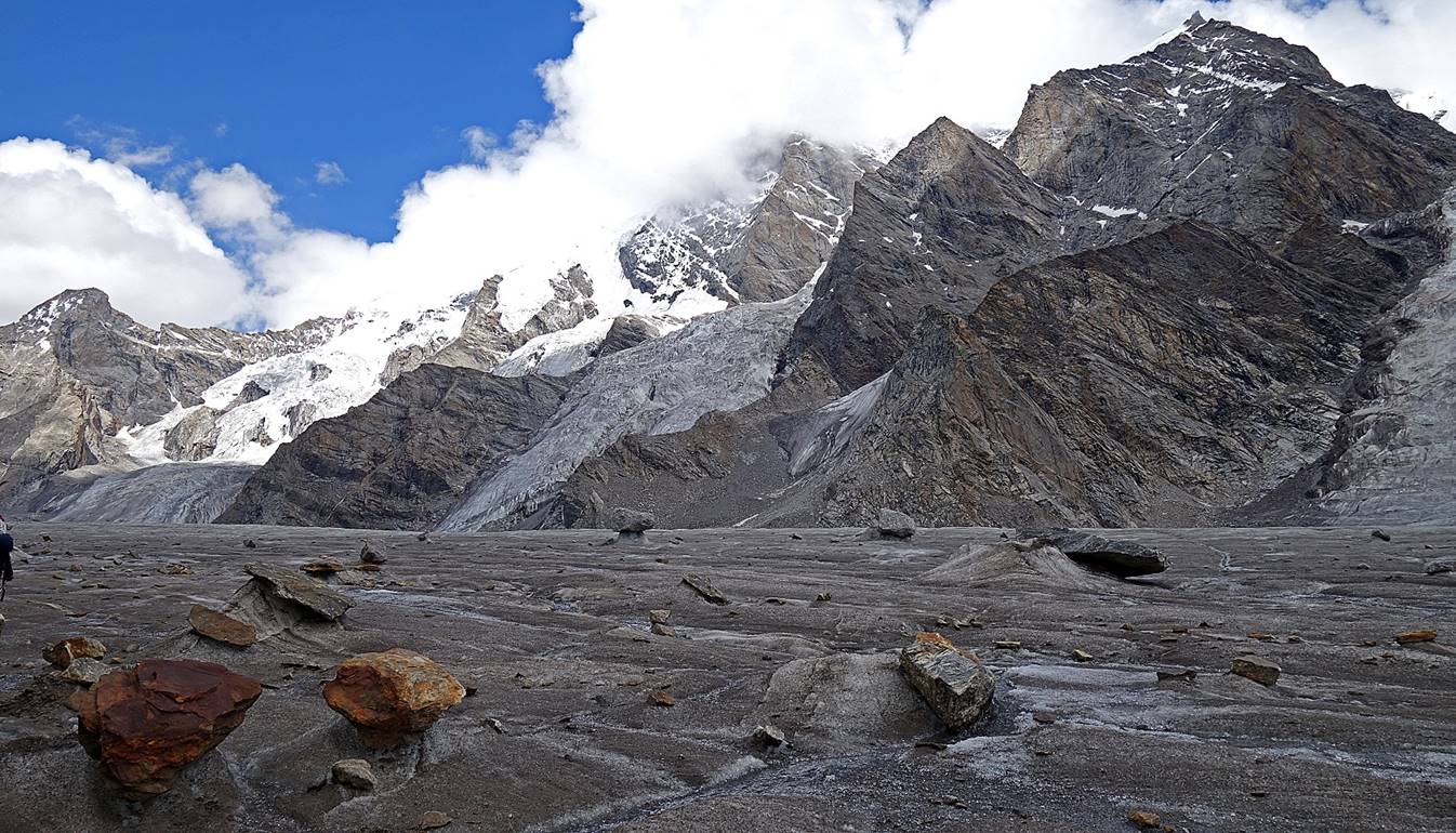
Lunch on a rock-covered section of the glacier.
Smaller steep glaciers falling into the Miyar
glacier

Tundup looking at yet another deep hole in the
ice.
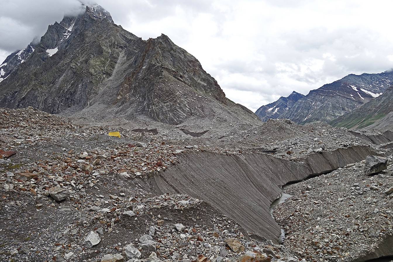
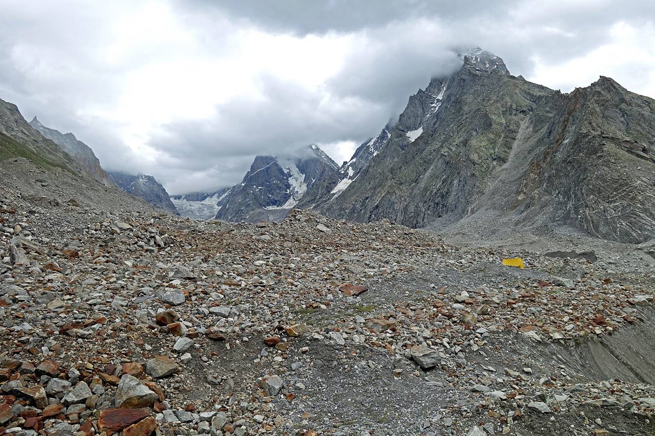
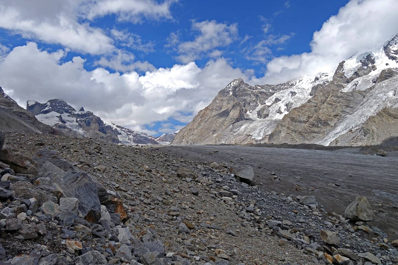
Stark, not very colorful, but extremely beautiful landscape.
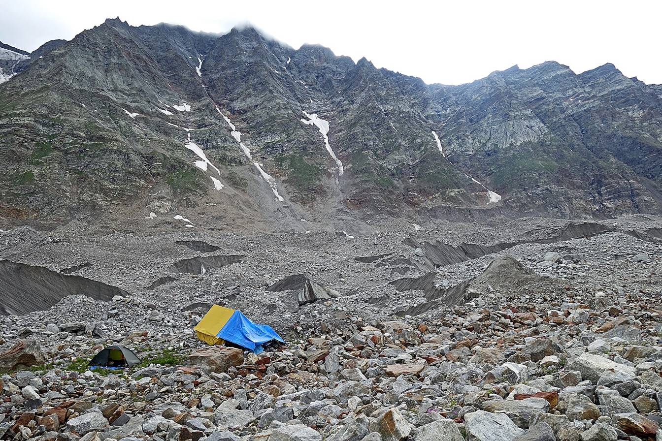
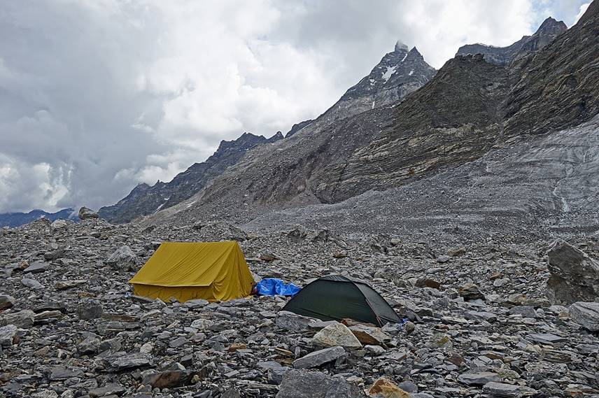
We set up our fifth camp on rocky terrain in a relatively well protected
site on the western side of the glacier (WP #31).
|
|
|

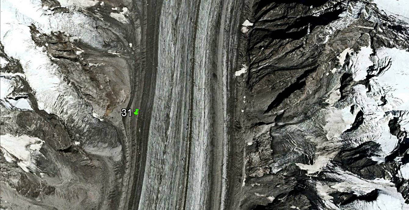
Aerial view from Google Earth of the area around our WP #31 camp.
To directly access part 3/3 of the Kang
La crossing, click here.
![]()