India
(July-August
2018): Zanskar to Paddar
across Umasi La (5300m) - 3/3
|
|
Return
to main India 2018 webpage
Google Earth views:
|
|
|
|
Entire leg. |
Part 3/3 of leg. |
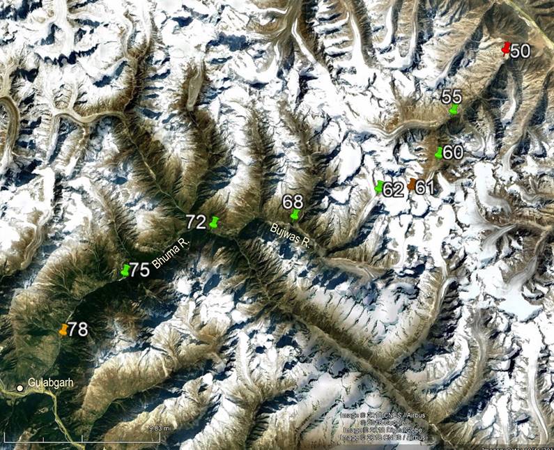
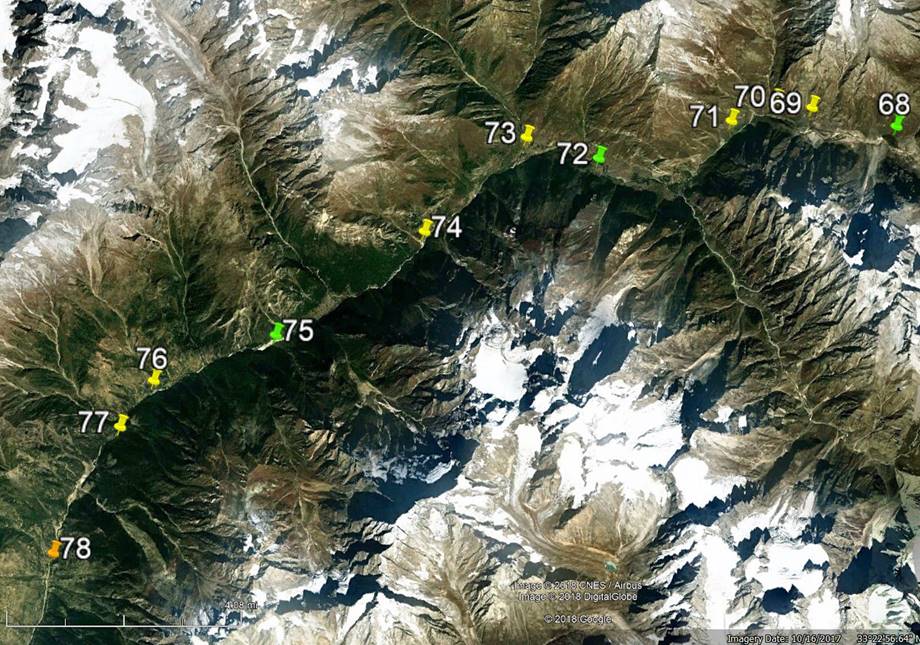
[Reminder: Click here (kmz file) and open the
downloaded file in Google Earth to access the GPS waypoints (numbered 1 to 49 for
the first leg and 50 to 78 for the second leg) that I recorded during the trek:
red pins for starts, orange for finishes, green for camps, brown for passes,
and yellow for other waypoints. Only WP #61 (Umasi
La) was not GPS-recorded, but entered manually.]
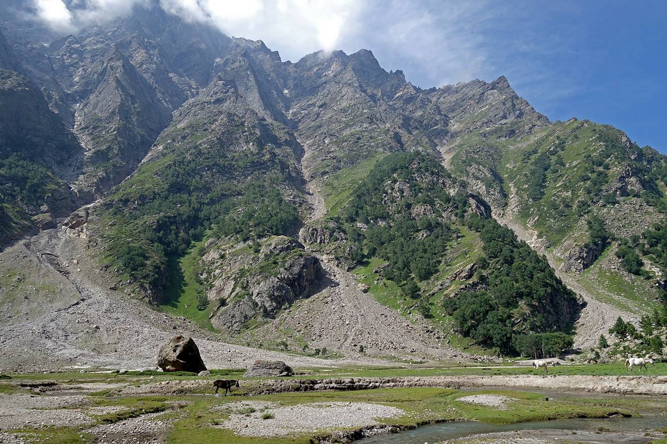
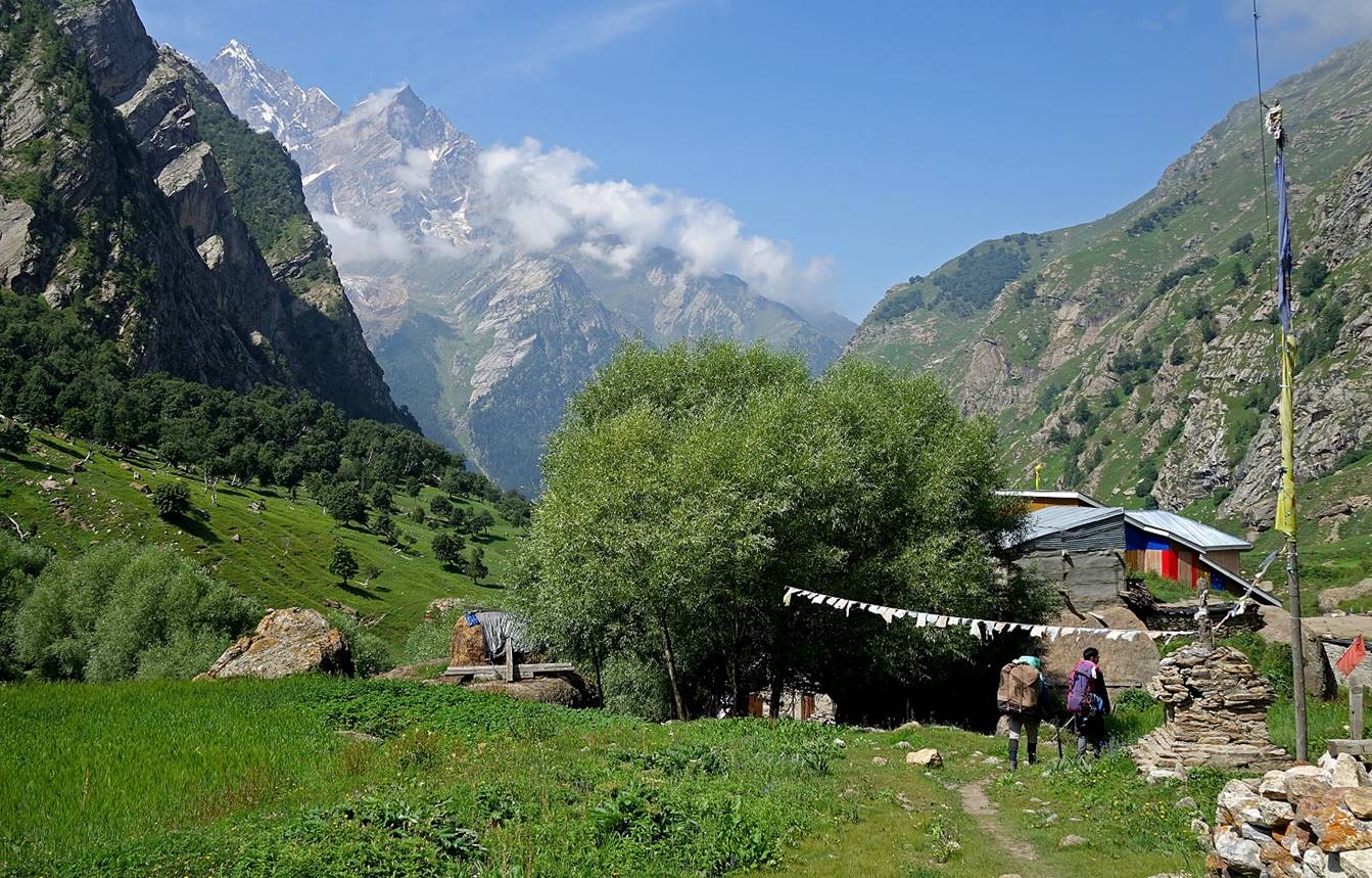
Day 5 of
second leg of trek:
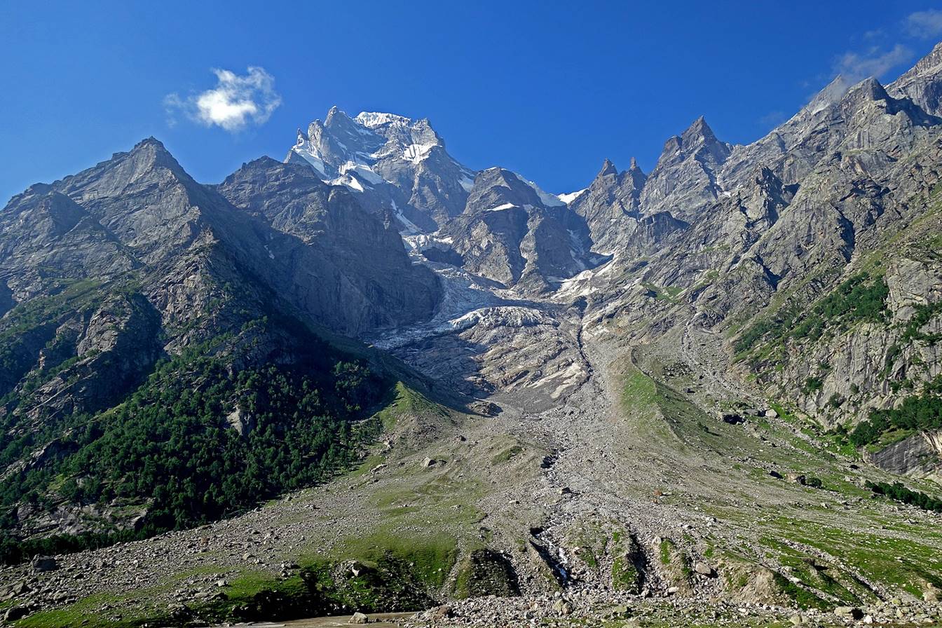
Mahadeva peak seen soon after leaving our camp.
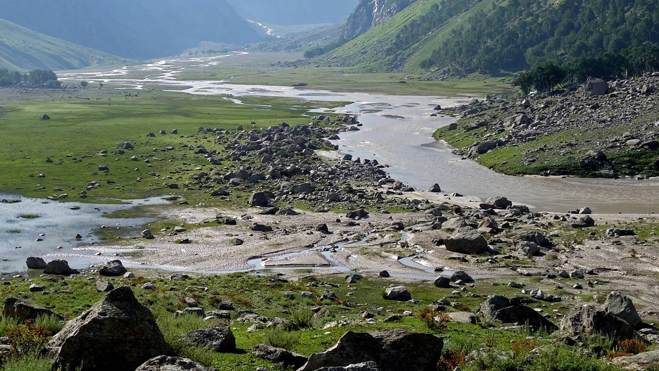
View over the Bujwas river. Our camp had been set in the
meadow on the left.
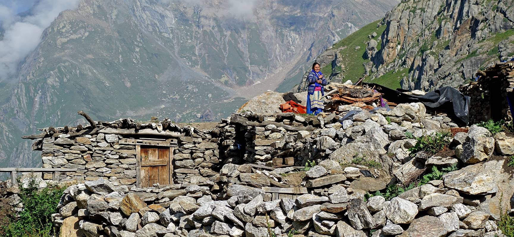
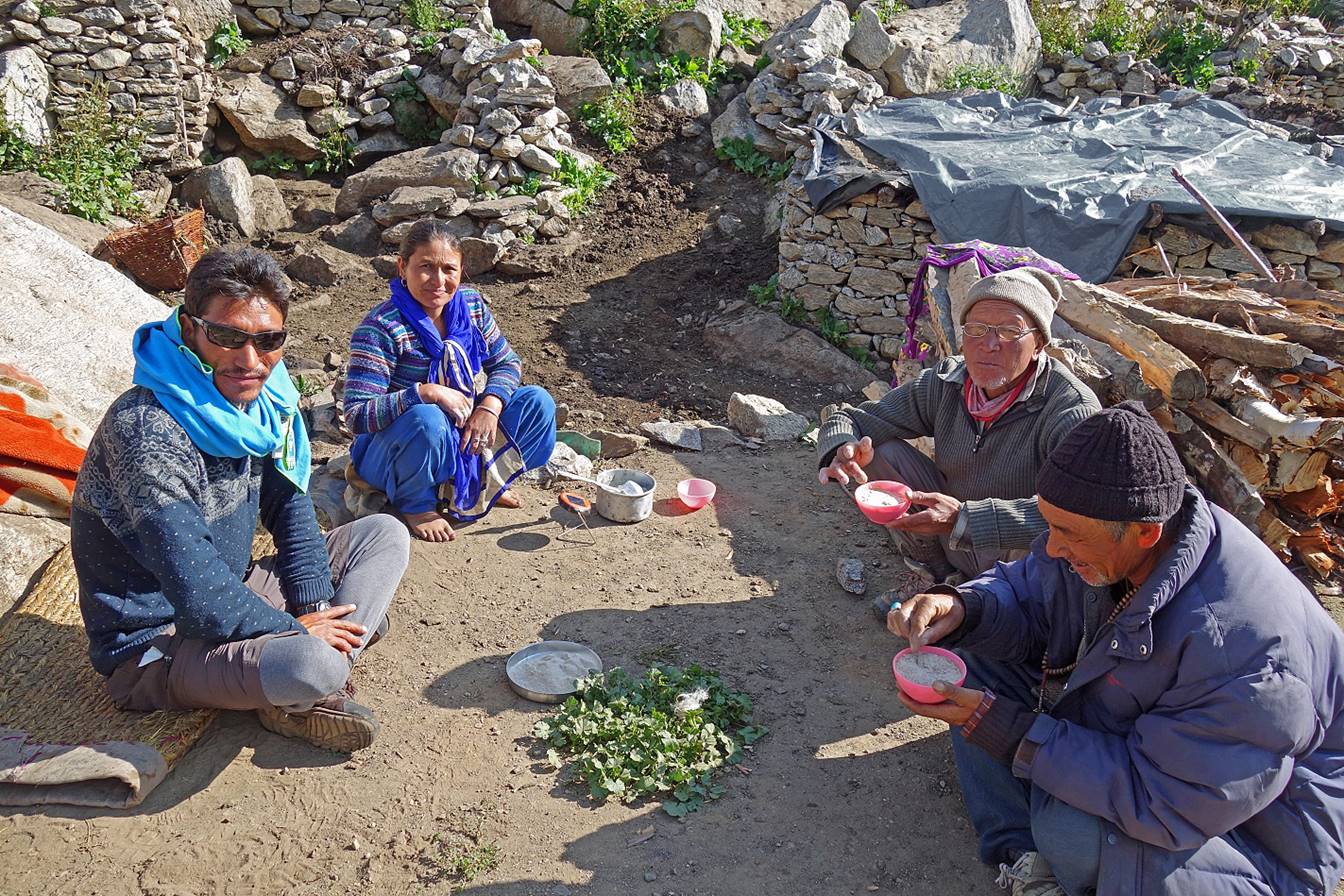
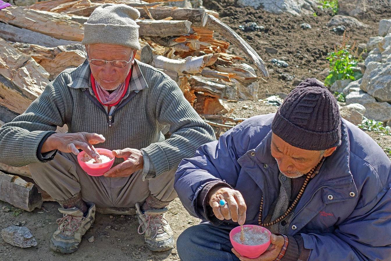
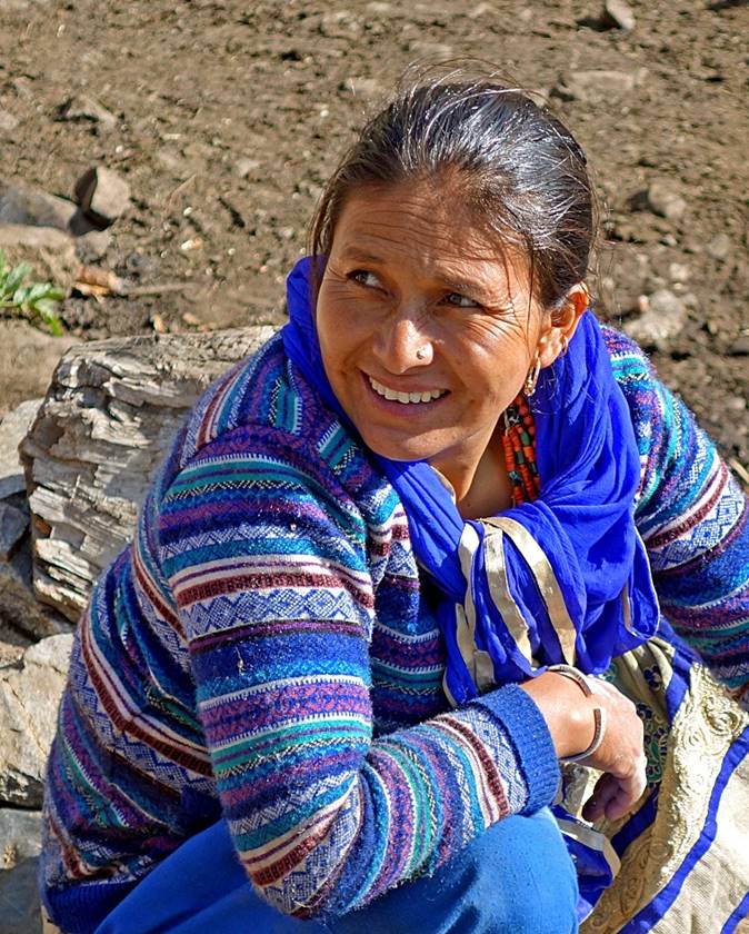
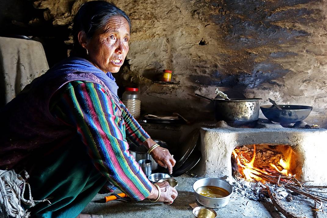
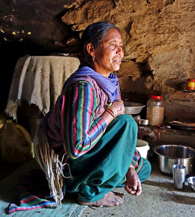
Arriving at a shepherd
settlement, where we were expected. The people here are Zanskaris coming during
the summer months from villages located a few kilometers down in the valley. Most
members of my team had already visited them on the previous night to drink
barley-fermented alcohol. This morning, the menu was yoghurt, tsampa, and tea.
First outside...
|
|
|

...then inside one of the houses....
|
|
|
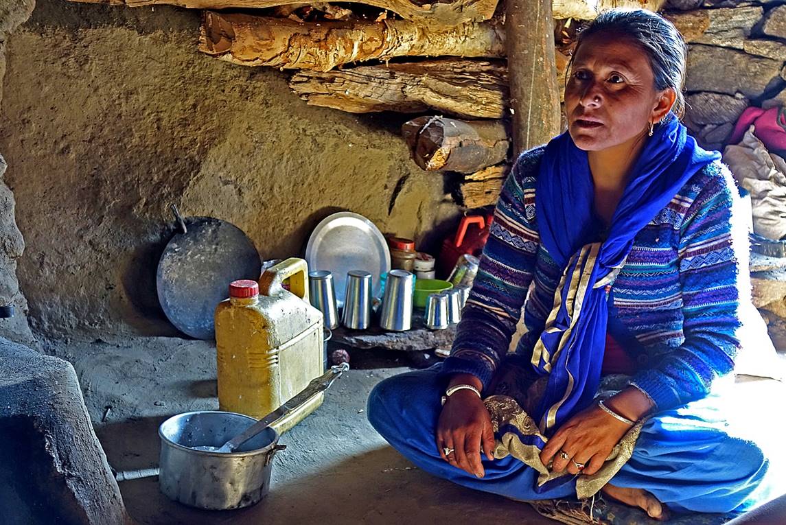

...then in another house, so that when we left the
settlement later in the morning our stomachs were quite full.
|
|
|
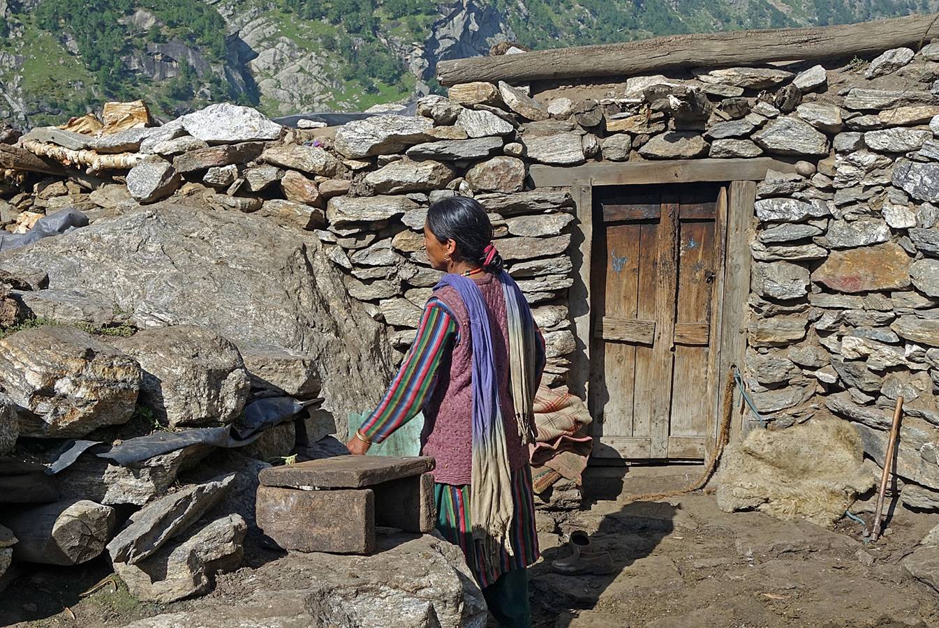
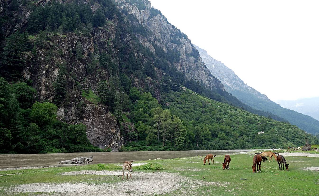
Further down along the Bujwas river.
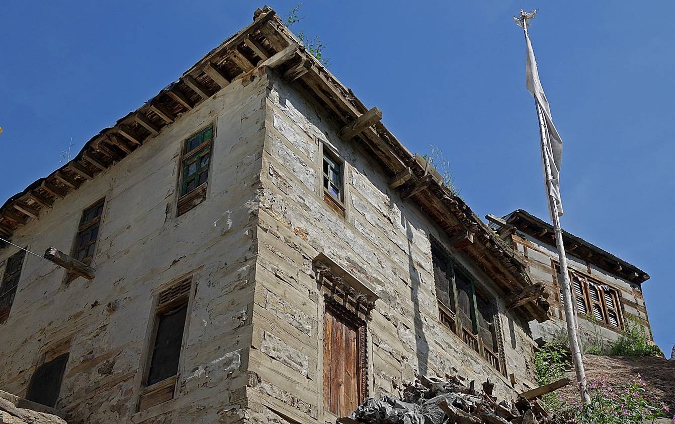
Small Buddhist villages
along the way. The people in the previous settlement were coming from these
villages. Note the large square wood logs used in the construction of the
houses.
|
|
|
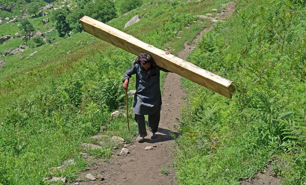
People encountered on
the trail. The man on the right carries a wood log (over 50kg) for house
construction. I saw several such porters. From their clothing, they do not seem
to be from the valley.
|
|
|

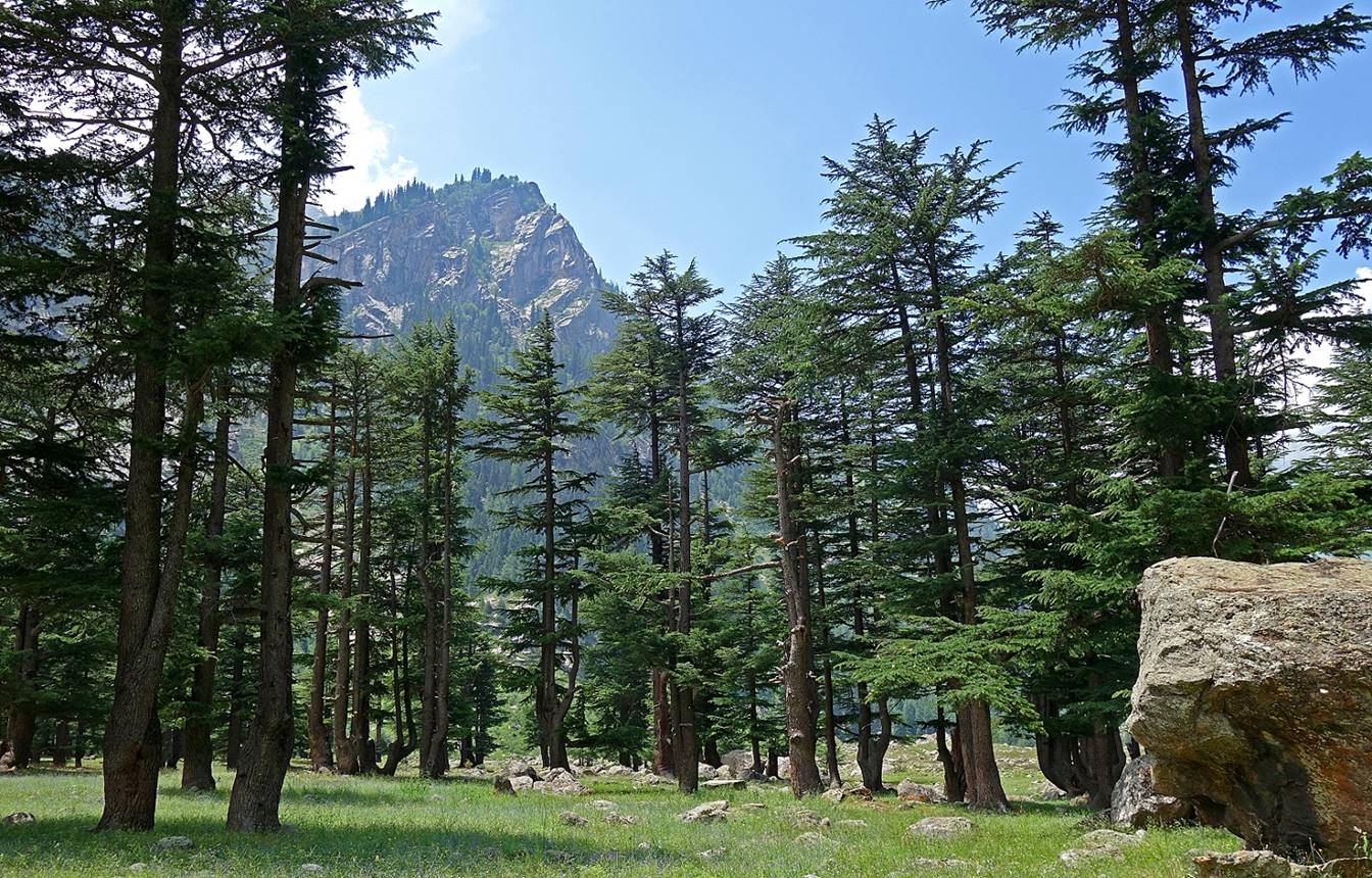
Beautiful grove of cedar trees soon after reaching the
valley of the Bhuma river.
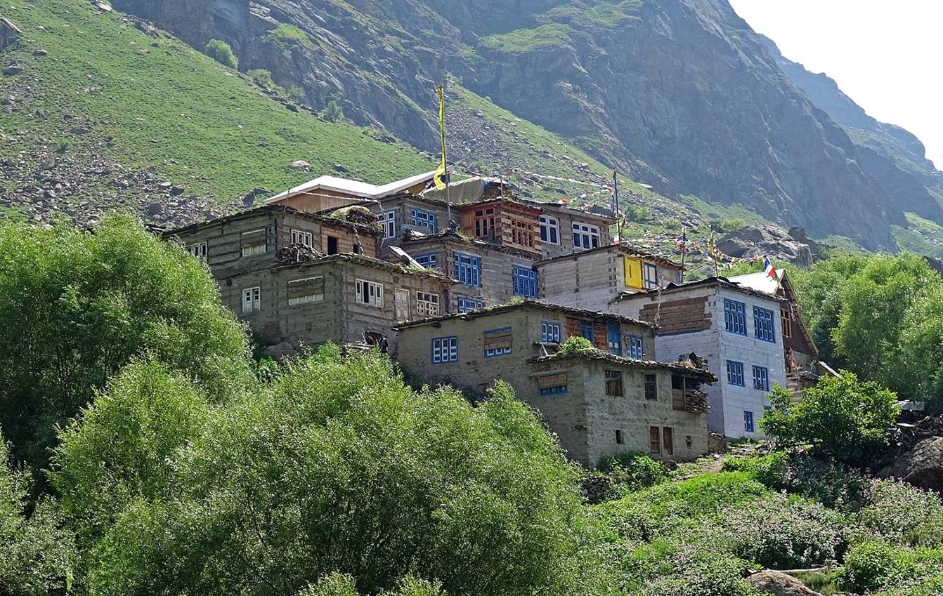
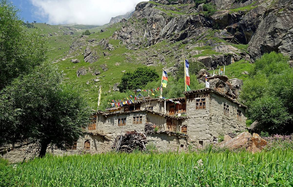
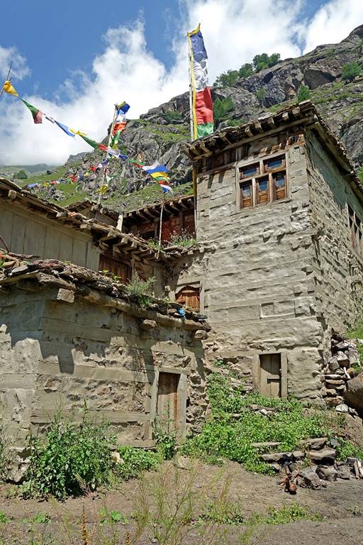
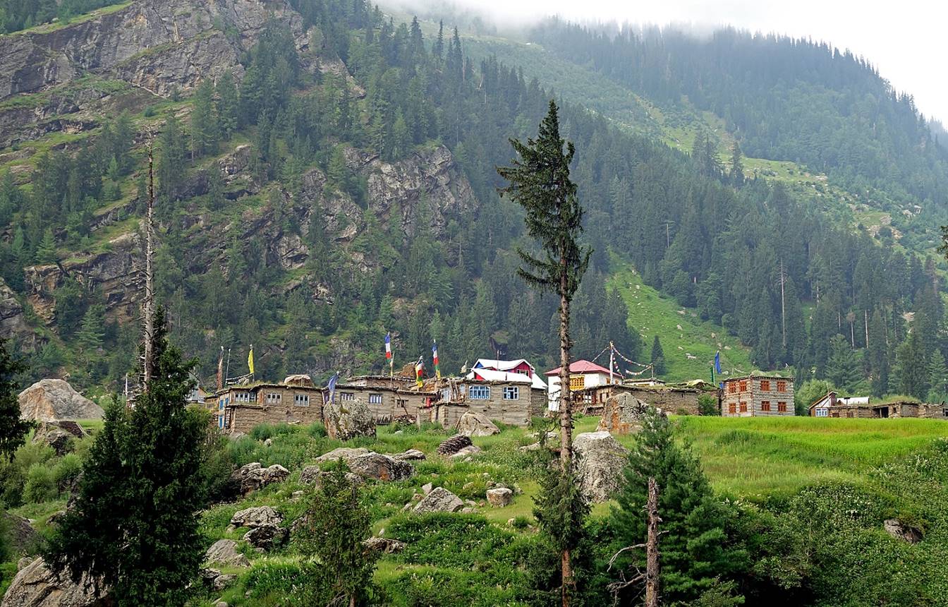
Lossain, the last entirely Buddhist village in the
valley, where we spent the night (WP #72).
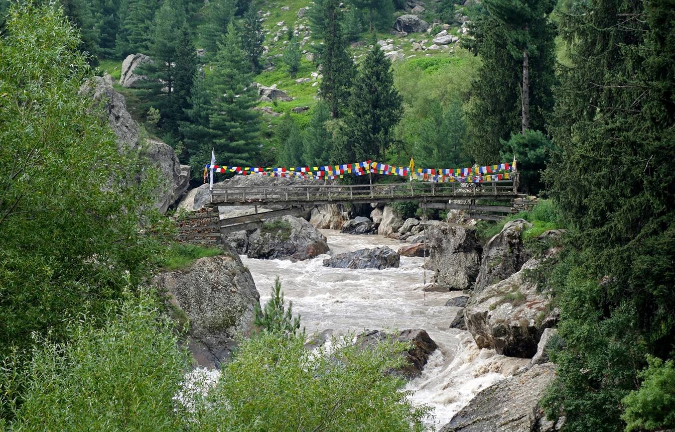
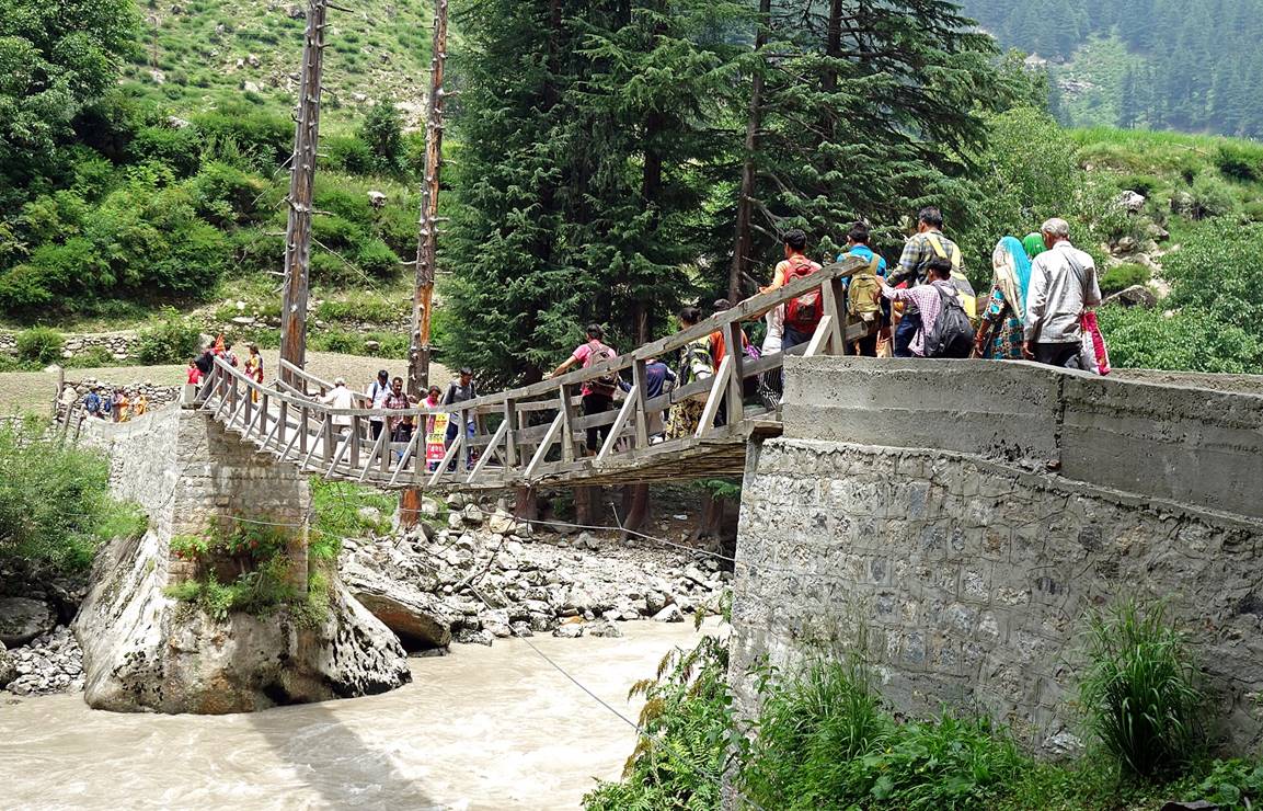
Bridge across the Bhuma river leading to Lossain.

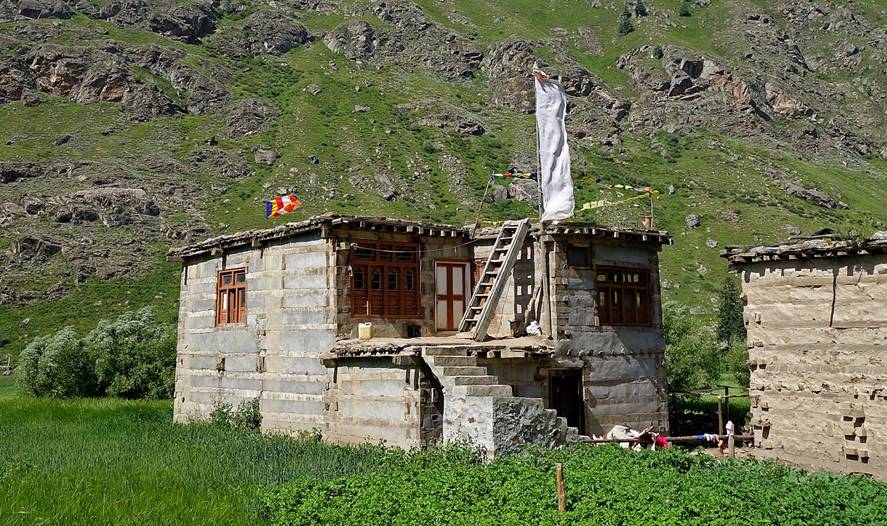
Houses in Lossain.
|
|
|

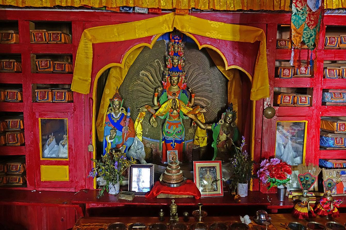
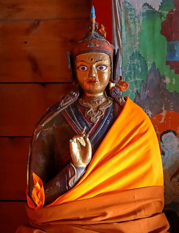
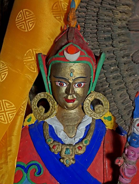
There are two small gompas in Lossain, an old one and a
new one. The following pictures were taken inside the old gompa.
|
|
|
|

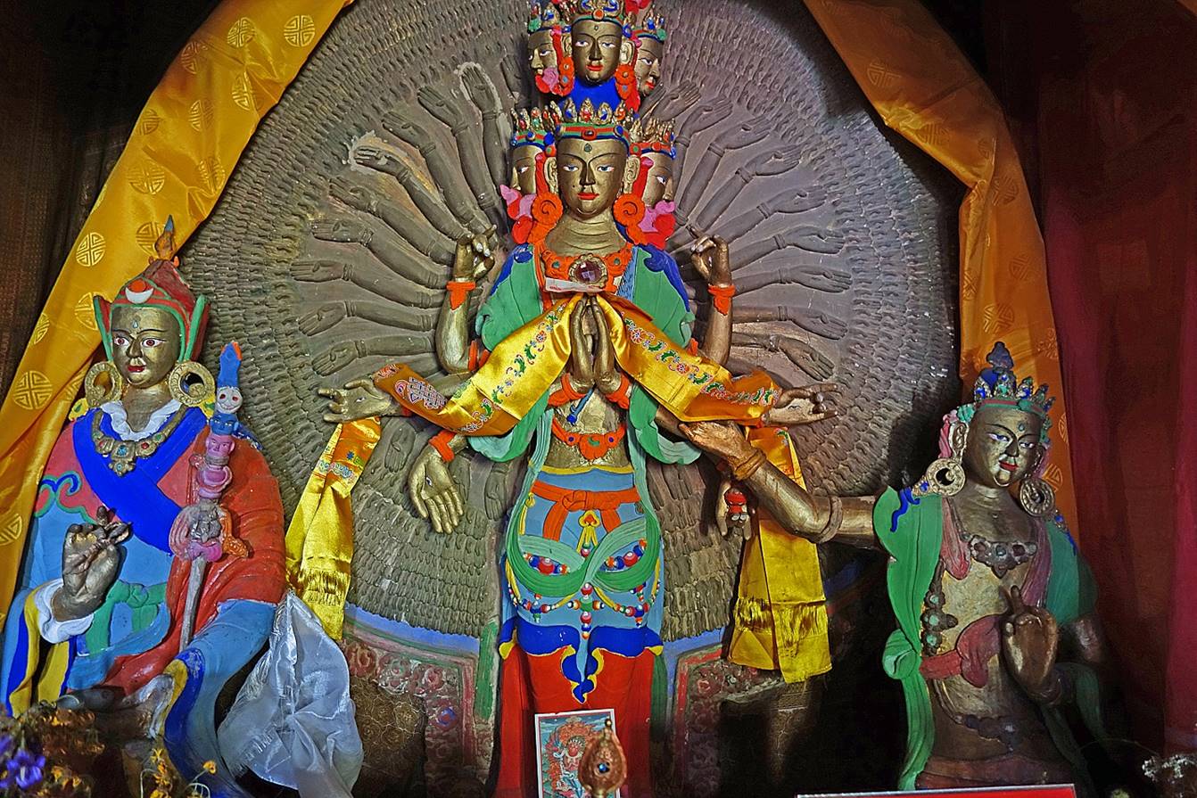
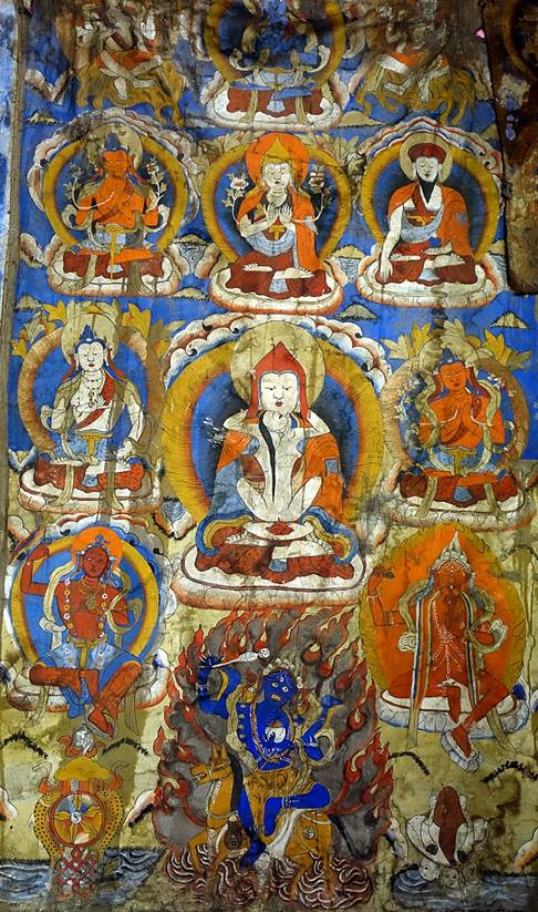
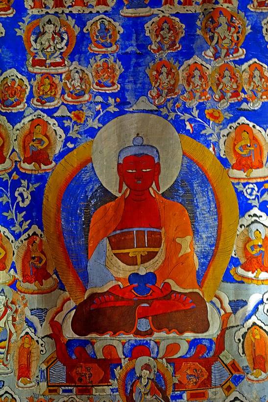
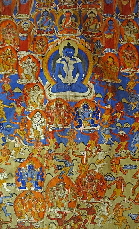
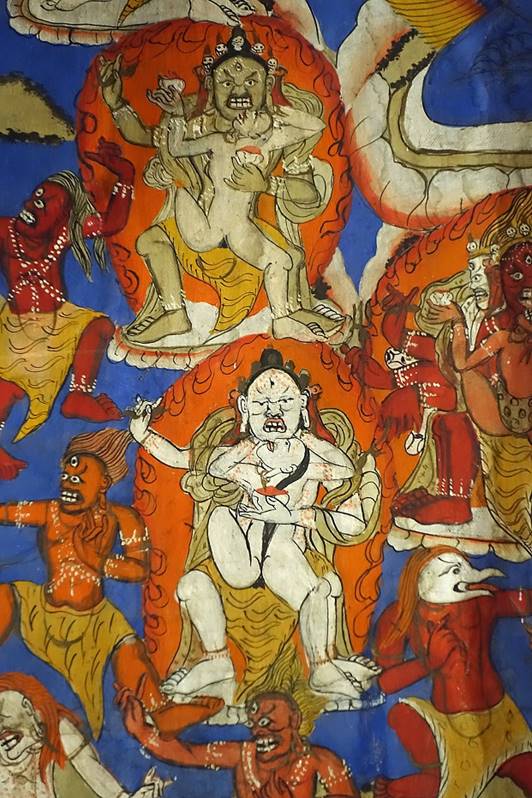
These are pictures of some old thankas that have been
moved from the old gompa to the new one.
|
|
|
|

|
|
|
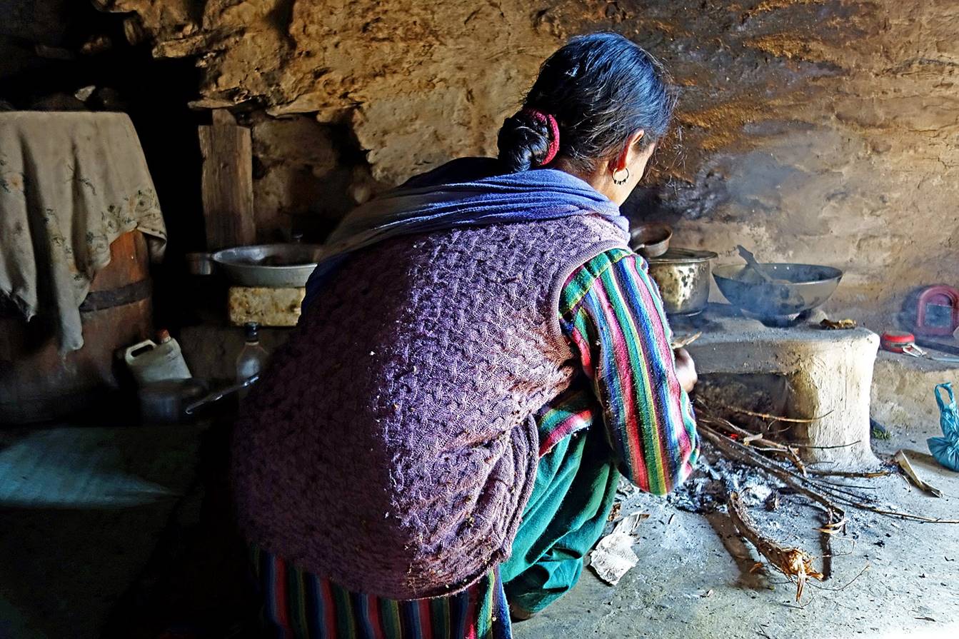
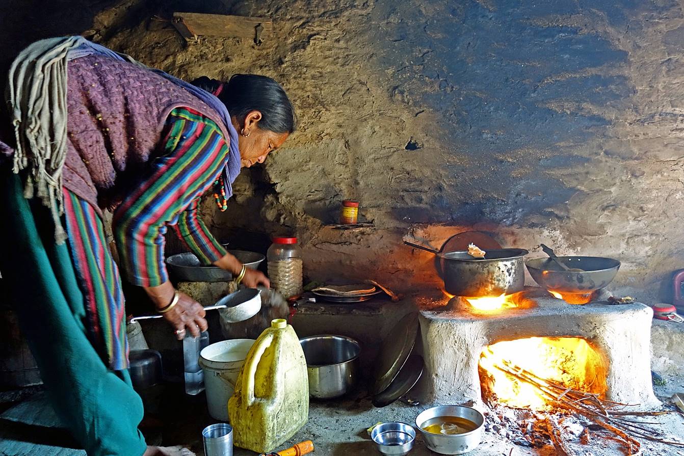
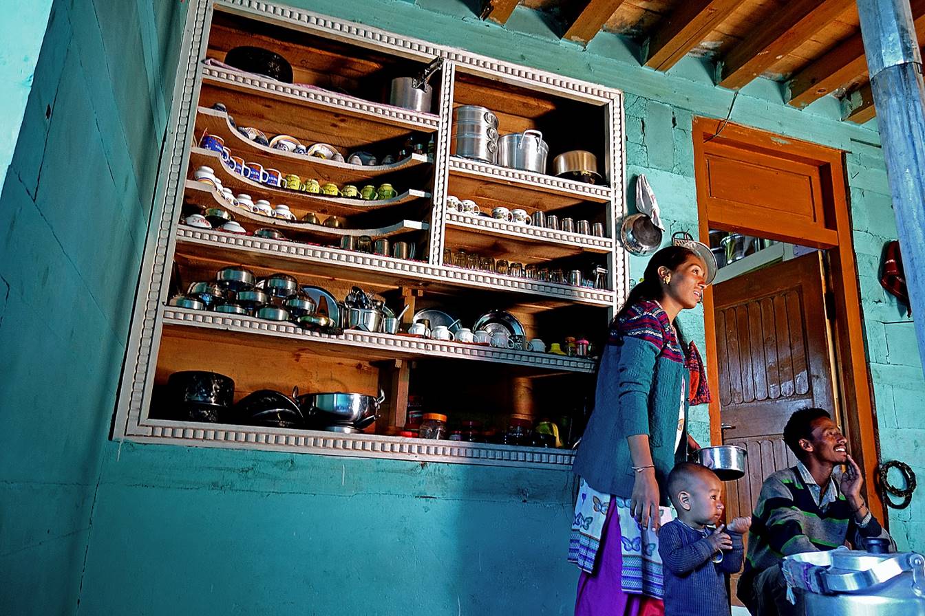
In the kitchen of the monks.

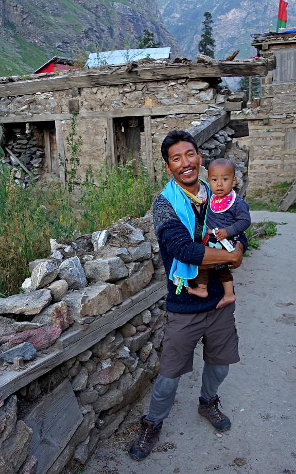
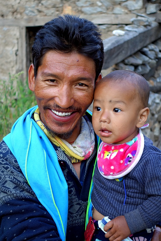
We spent the night in Lossain in the house of a relative
of Tundup. This is the family that hosted us.
Tundup with the son of our hosts.
|
|
|
Day 6:
Soon after leaving Lossain
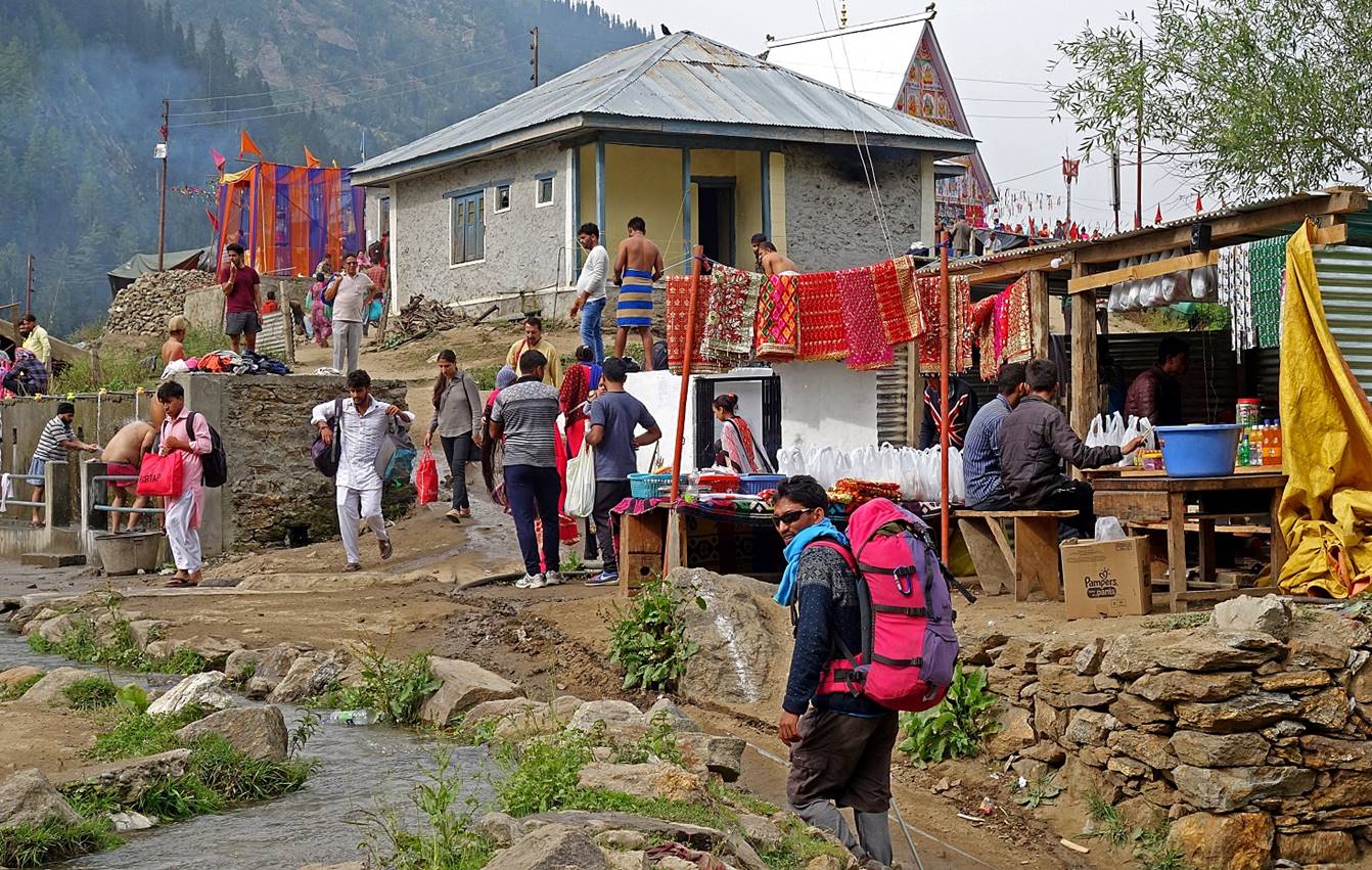
we reached the small village of Machel, located 750m
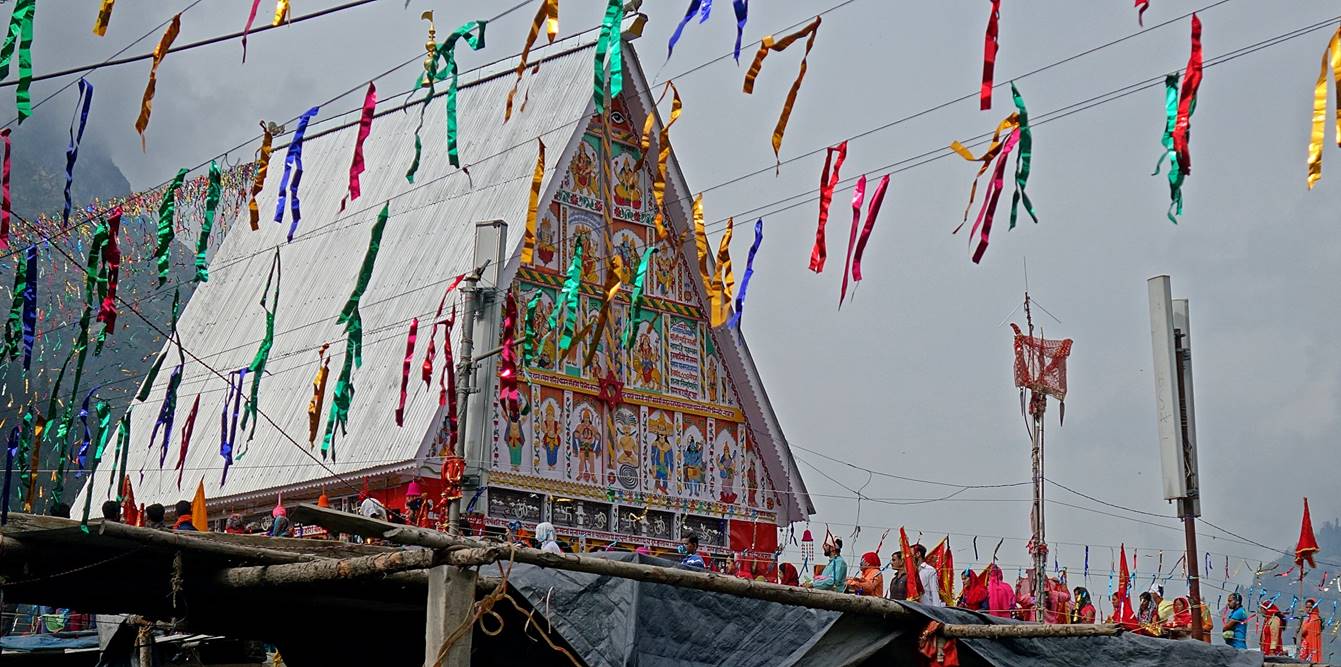
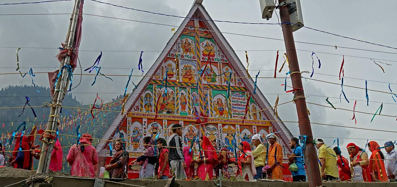
east of waypoint #73. A shrine dedicated to the Goddess Durga
(large white roof in the photo below) is the destination of a major pilgrimage
in north-west India (the Machel
Mata). This
month-long pilgrimage, which had started on June 25, was still running at the
time of my visit. Some pilgrims come on foot from Gulabgarh
over two or three days, sleeping in tent camps set along the trail (there are
no road). Fewer walk much longer distances. Many, however, fly here by
helicopter from Gulabgarh (a mere 10 to 15 minutes
flight) to a helipad located 100m from the shrine. See the helicopter above the
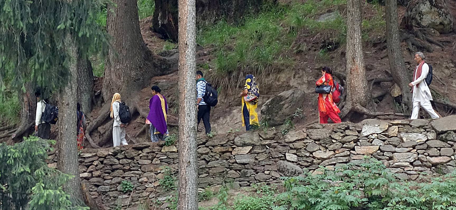
village in the photo below. On this day (a Sunday) I estimated the number of
helicopter flights in each direction to be about 100! I expected that the trail
from Machel to the end of the trek would be crowded,
but at least I thought that it would be culturally interesting. I was deeply
disappointed. Not only is it impossible to ignore the constant noise of
low-flying helicopters in the valley and the sight of trash littering the
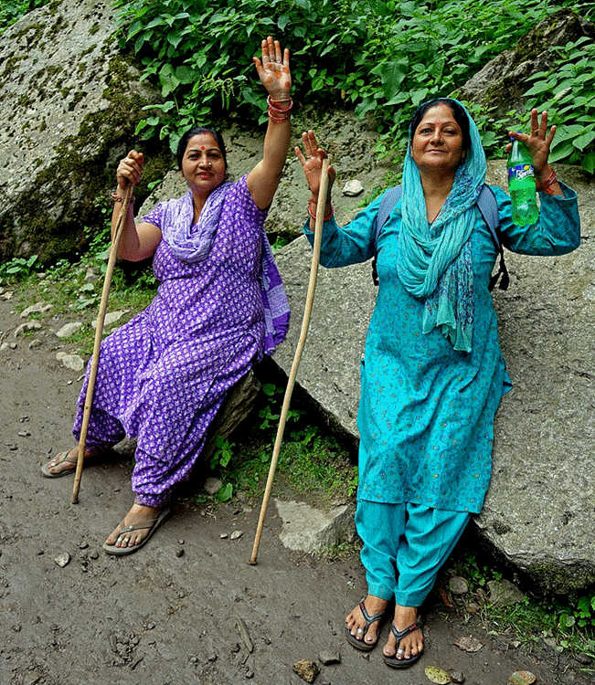
trail. In addition, most ″pilgrims″ seem to consider the trip as
pure vacation time rather than as a spiritual experience.

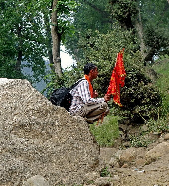
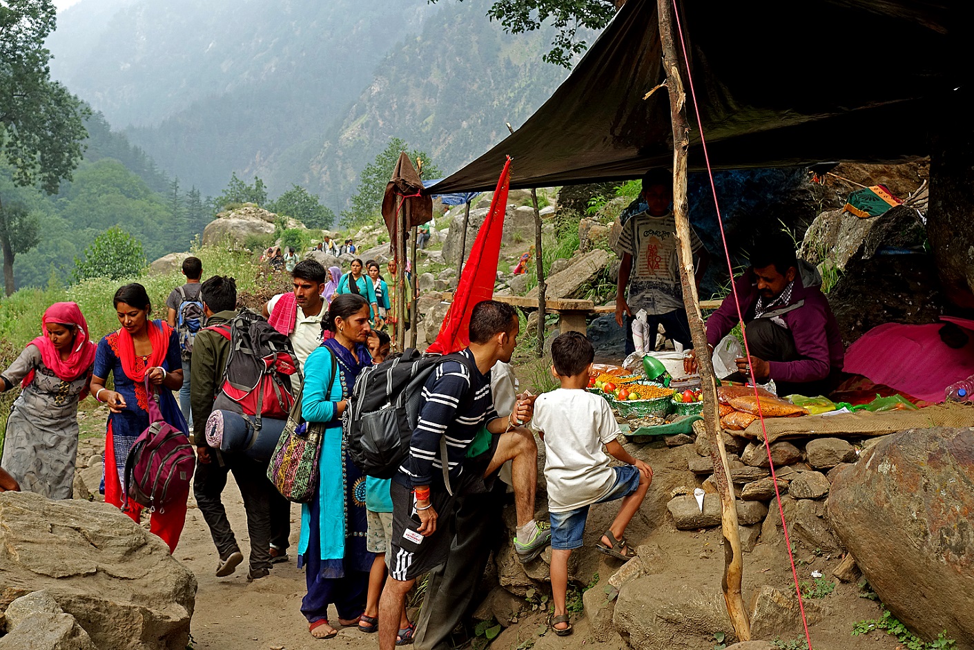
In Machel village.
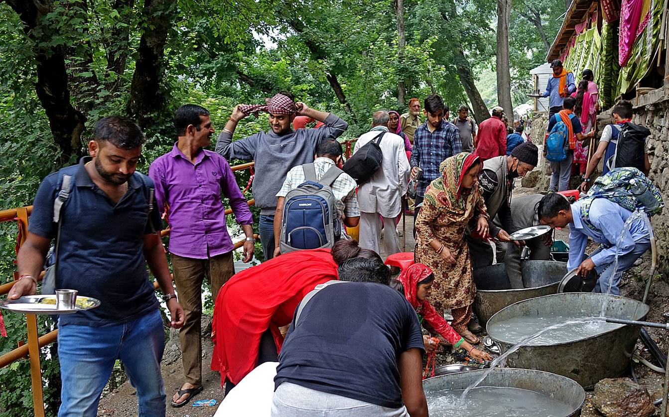
Line of people waiting to enter the shrine.
Along the trail below Machel.
|
|
|


On that day we set our last camp (WP #75) a short
distance below the trail on a relatively clean meadow (despite being a resting
spot for horses and donkeys) next to the Bhuma river. The trail remained active
throughout the night with pilgrims trying to avoid daylight heat.
Day 7:
|
|
|
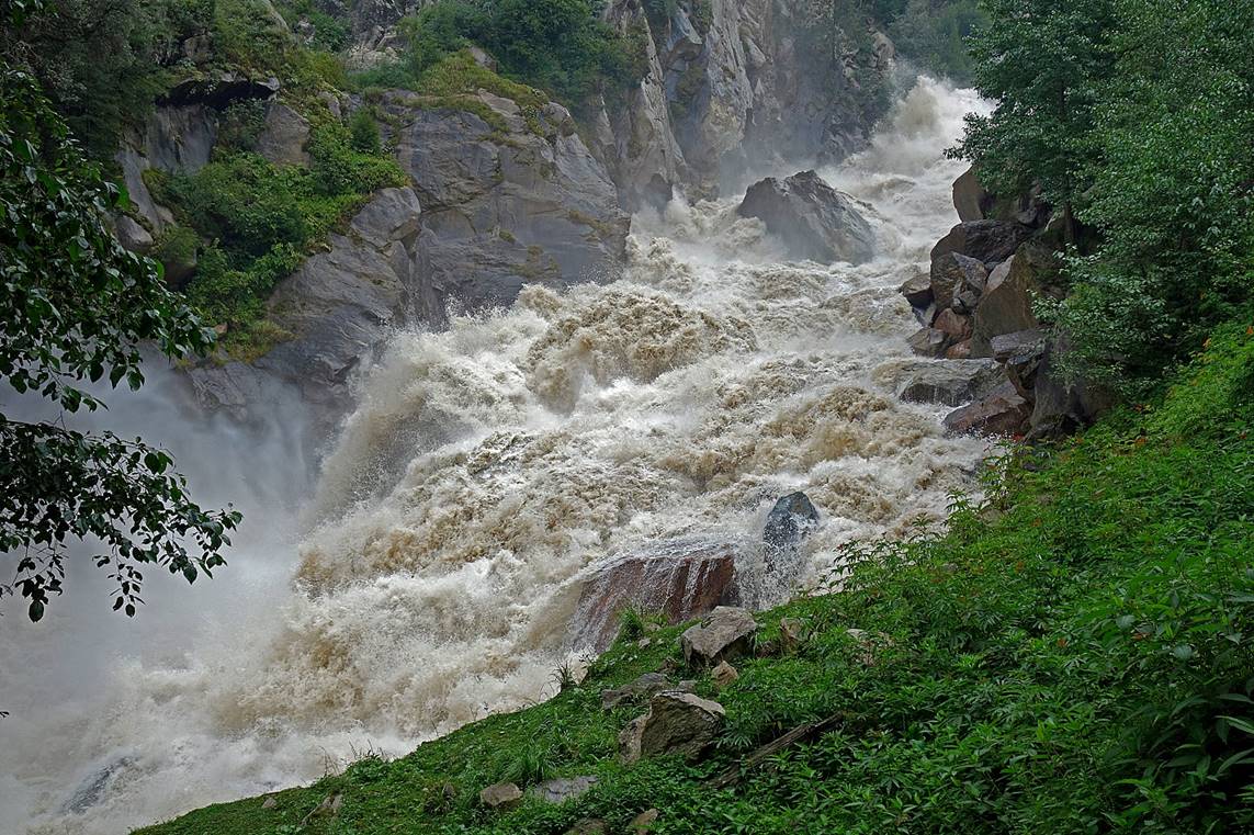
Roaming Bhuma river on a more inclined
section of the valley.
|
|
|

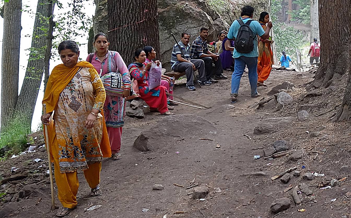
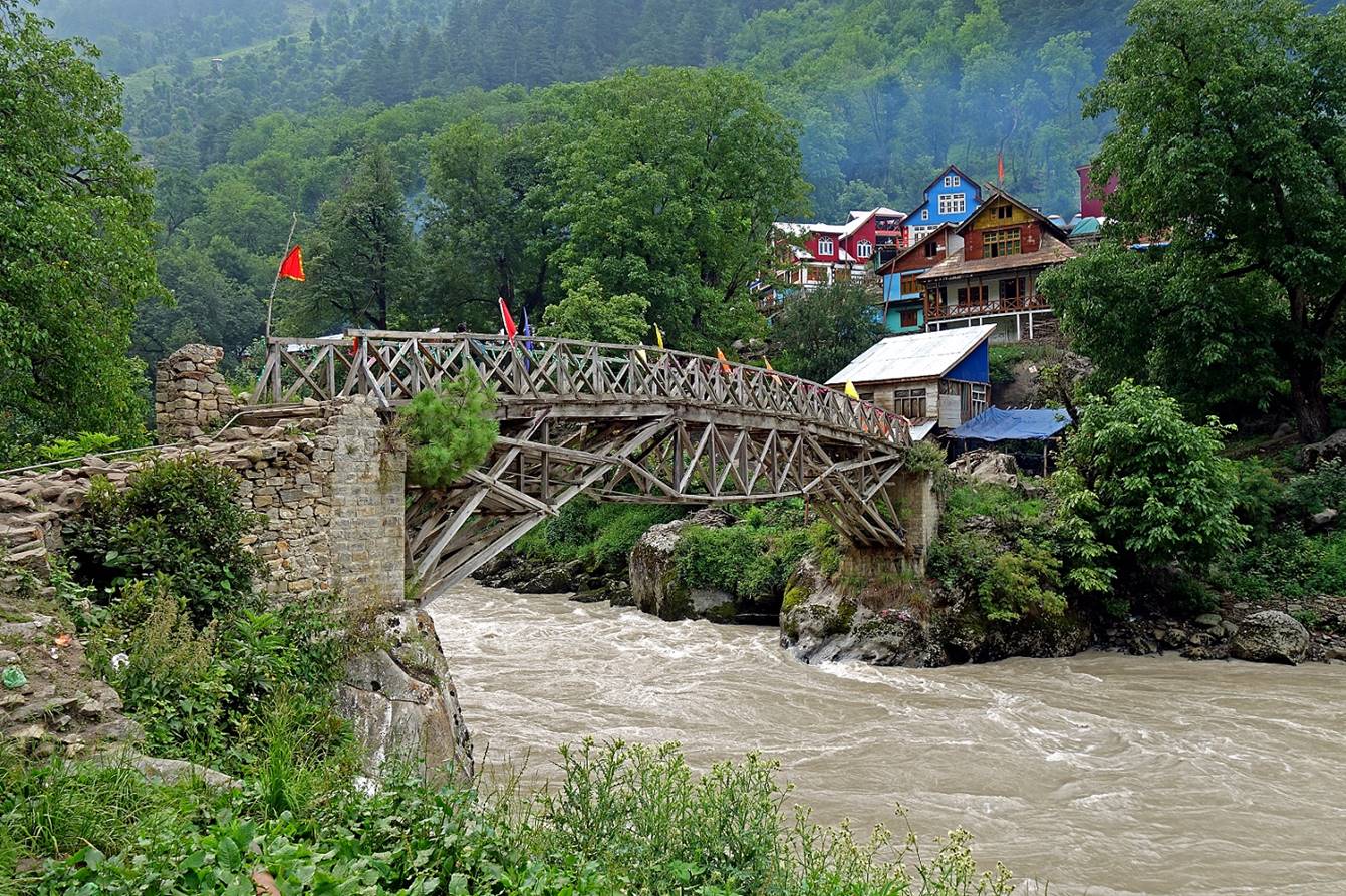
Village with a splendidly designed wood bridge.
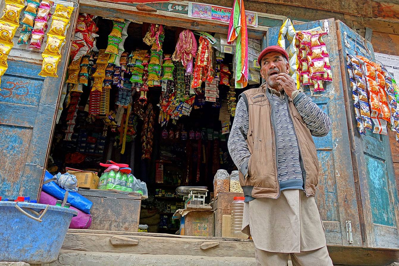
Shop selling snacks.
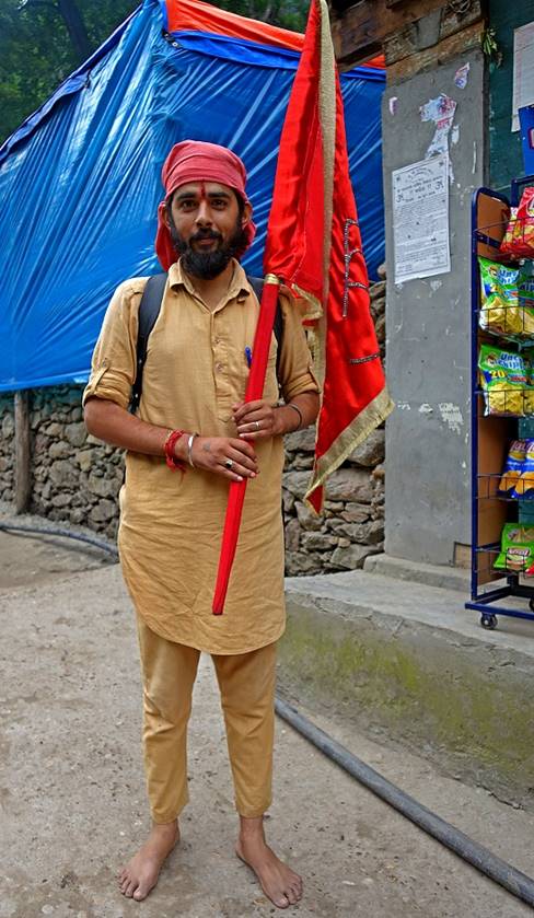
A true pilgrim on the right, who walks barefoot.
|
|
|
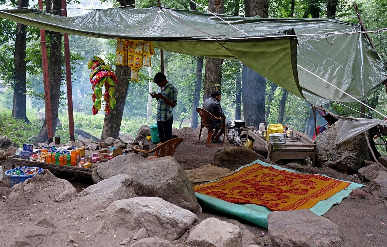
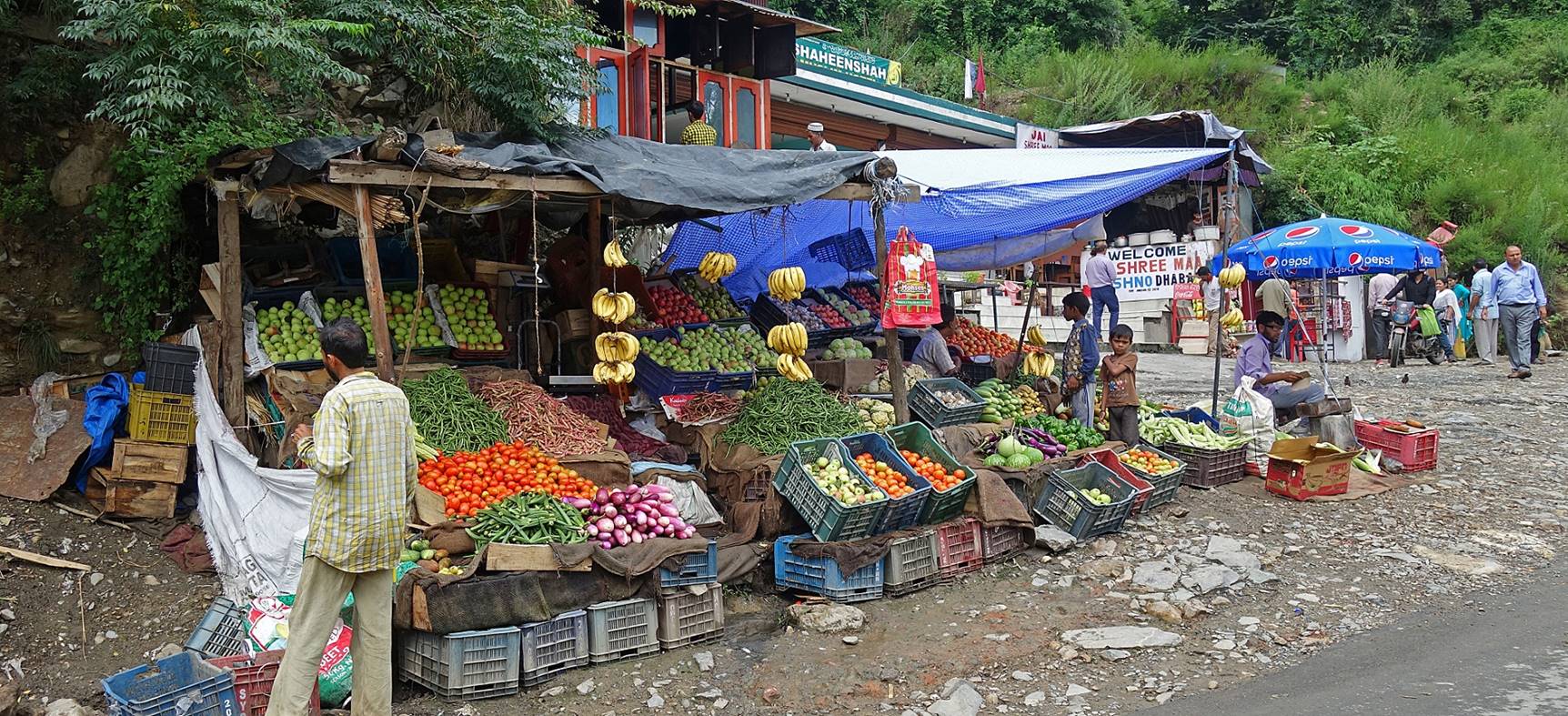
Snack shops along the trail.
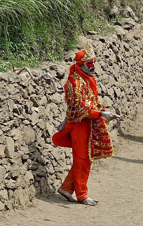
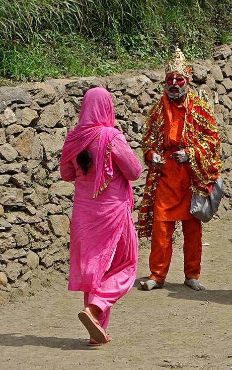
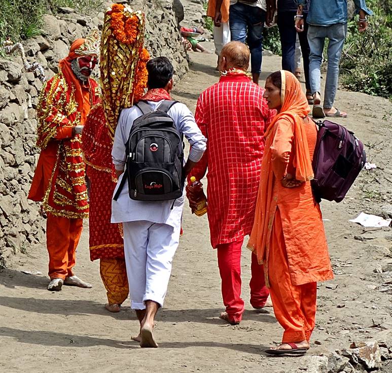
We finally reached the end of the trail
(WP #78). There a strangely dressed man (a kind of sadhu?) was trying to get
some money from pilgrims. No one seemed to express much interest in him.
|
|
|
|
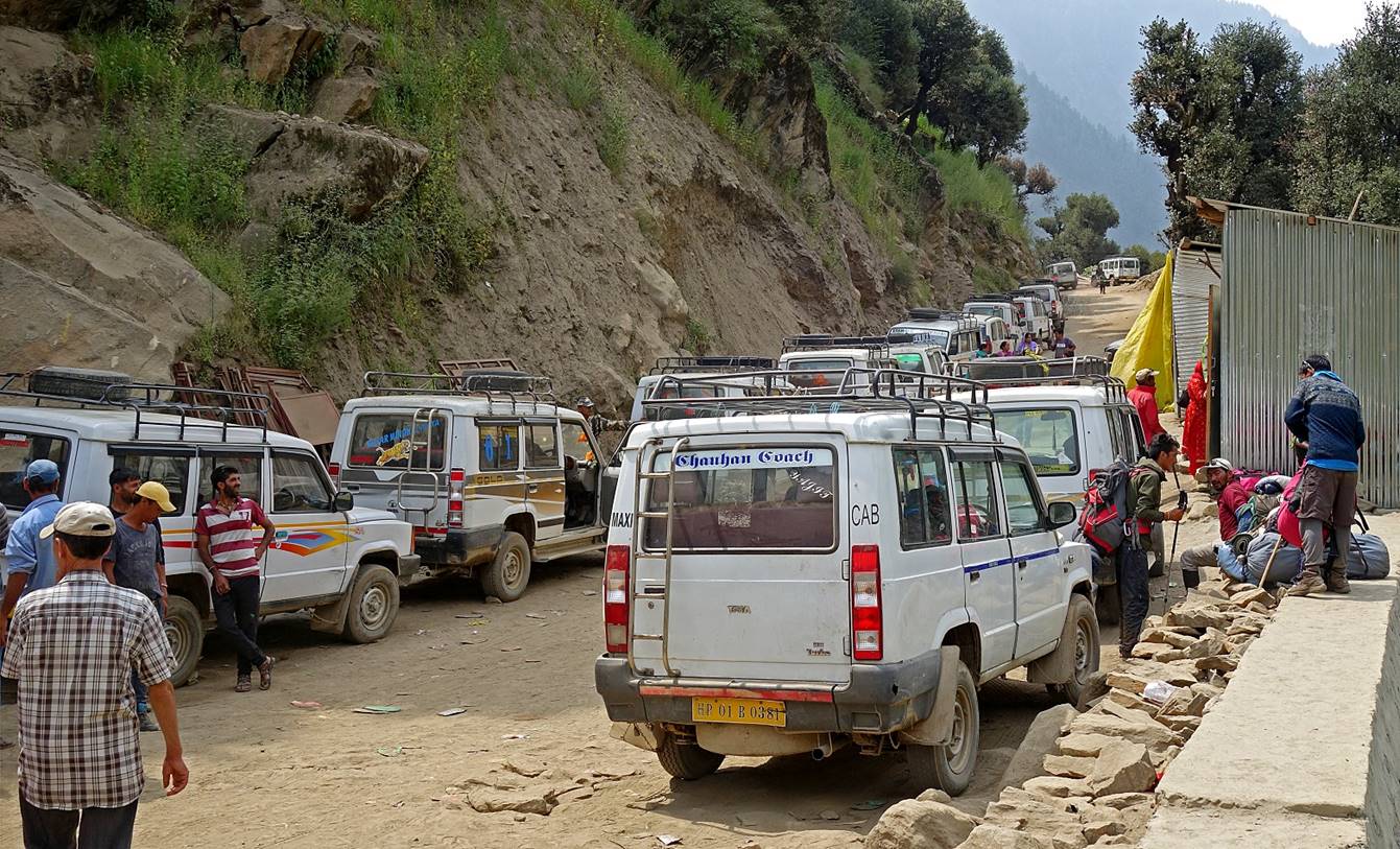
A large number of cars were waiting to
drive returning pilgrims to Gulabgarh. Tundup, Stenzing, and I took one
of them. The other four members of the group decided to return to their home in
Zanskar on foot, in reverse, via Umasi
La. They wanted to buy goods from villagers that we had met in Lossain and the Bujwas valley and
bring them back home. Tundup and Stenzing
stayed with me until Jammu. From there they returned to Leh
by bus.
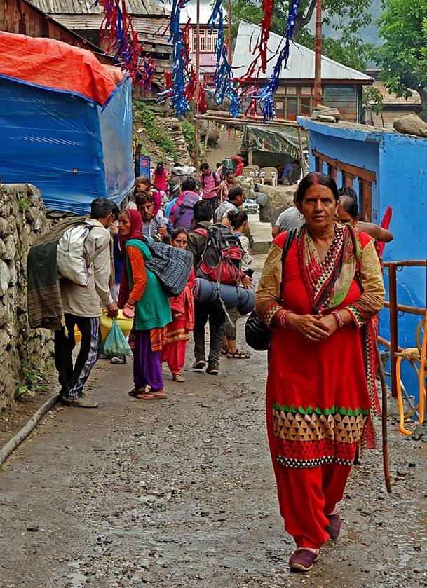
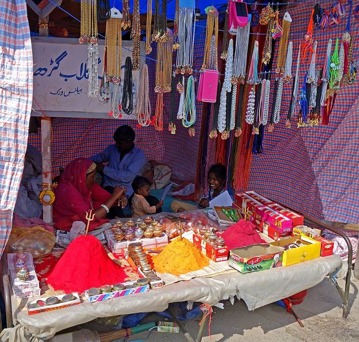
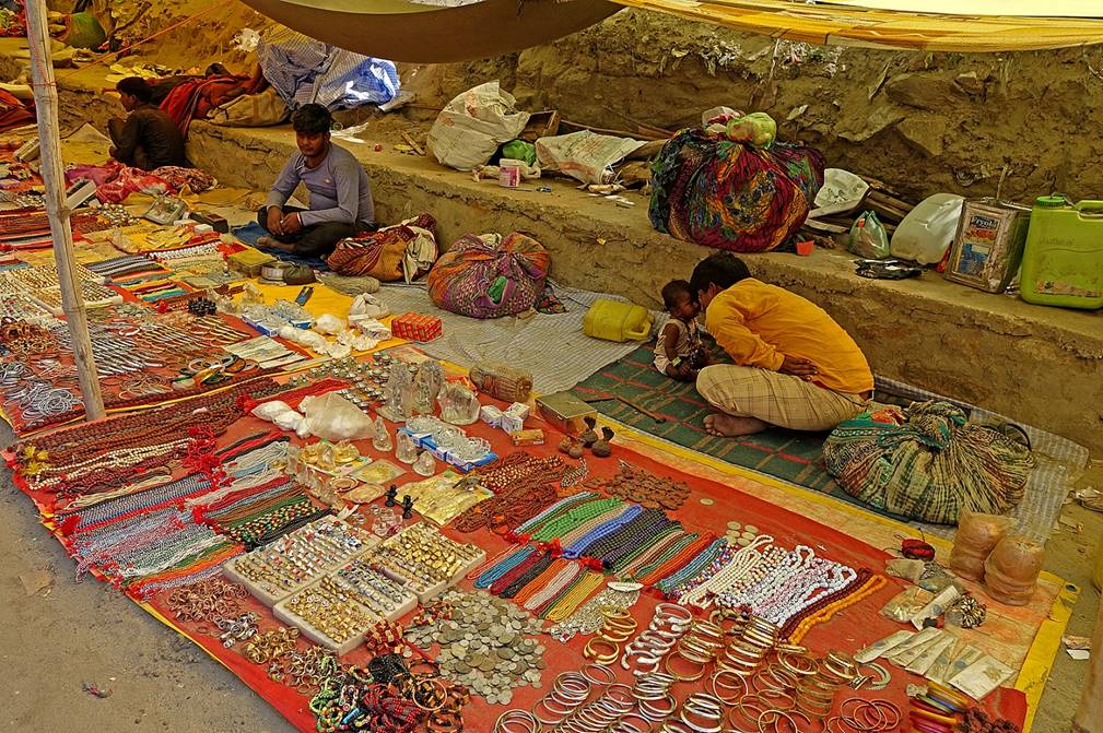
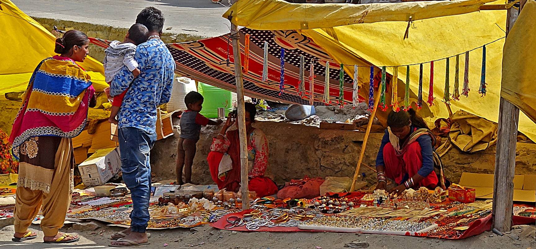
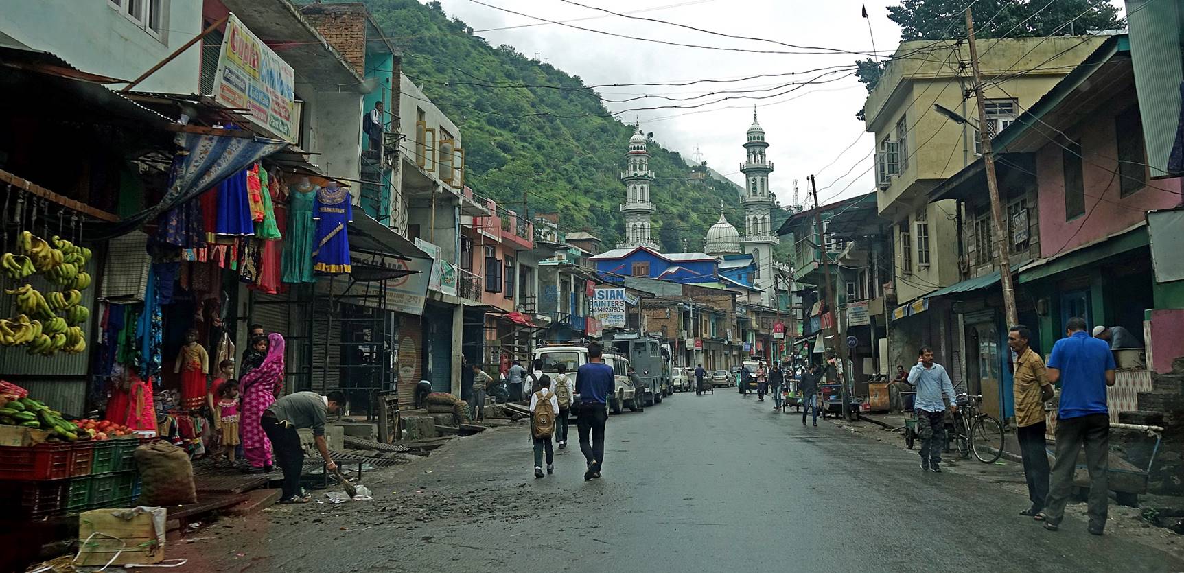
Gulabgarh is a relatively small town, but during
the pilgrimage month it is a quite busy and noisy.
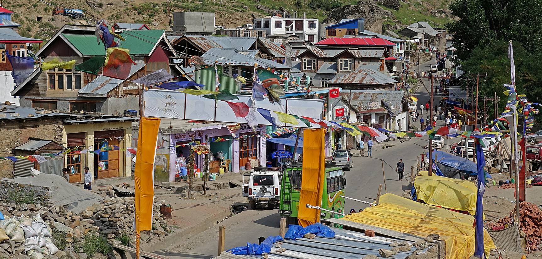
During this month, numerous stalls selling mostly religious items are
lined up along the main street.
|
|
|

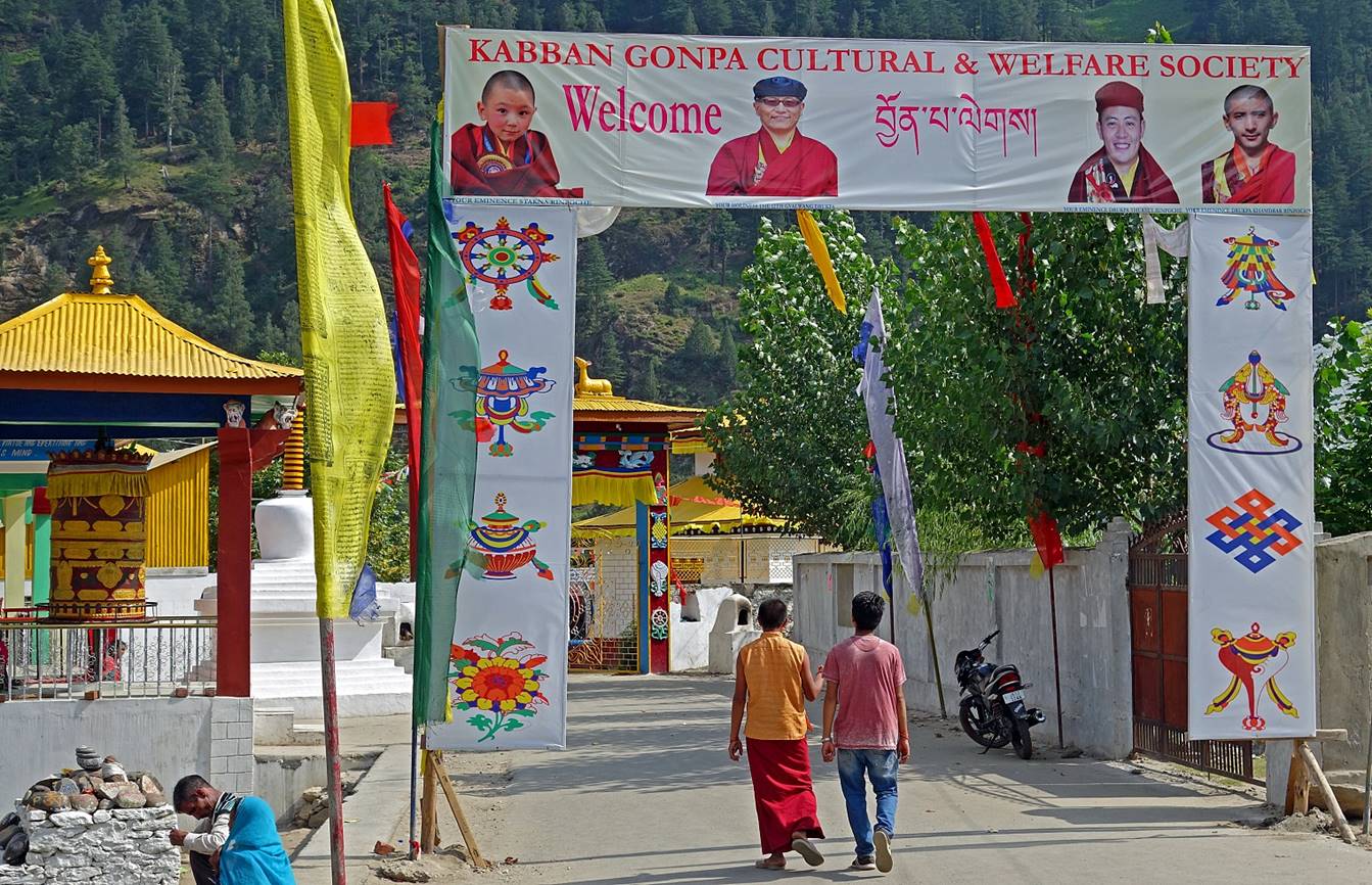
The town has large Hindu, Muslim, and Buddhist communities.
The Buddhist gompa hosts an important school for children of the region.
Glittering multi-color neon lighting in the prayer room
of the gompa!

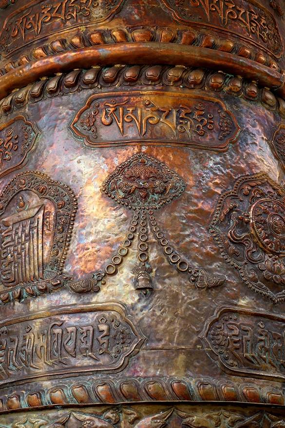
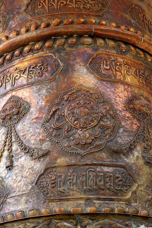
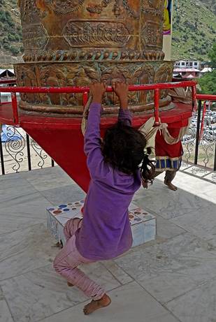
Beautiful large prayer wheel at the entrance of the
gompa complex...
|
|
|
...and its creative usage by local children.
|
|
|
|
|


Along the
road between Gulabgarh and Jammu:
In Jammu:
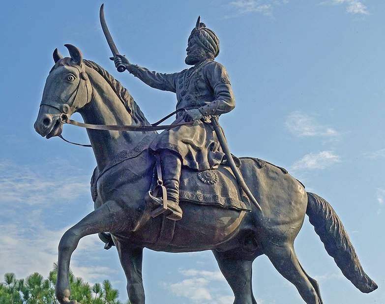
On the left, the Amar Mahal Palace,
built in the 19th century by a French architect for Dogra King
Amar Singh. On the right, facing the palace, a statue of Maharaja Gulab Singh (1792-1858), the founder of the Dogra dynasty,
considered to be the founder of the Jammu & Kashmir state.
|
|
|

![]()