India
(July-August 2019): A meandrous 24-day trek in the Kargil
and Kishtwar districts of Ladakh
and Jammu & Kashmir
Leg
3: Agsho to Sani across Agsho
La and Muni La (Part 2/3)
|
|
Return
to main India 2019 webpage
Views of the itinerary in Google
Earth:
[Reminder: Click here
(kmz file) and open the downloaded file in Google
Earth to access the GPS waypoints that I recorded during the trek: red pins for
starts and finishes, green for camps, brown for passes, and yellow for other
waypoints. Orange markers have been added; they are not GPS waypoints.]
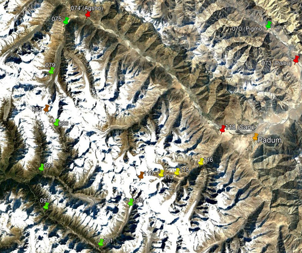
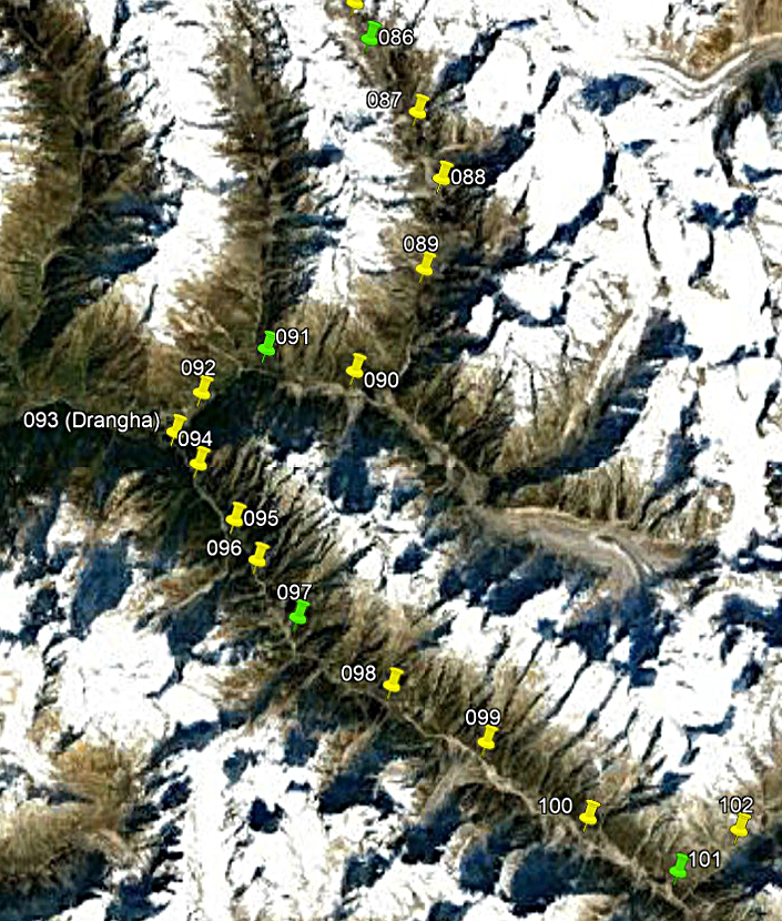
Left: View of the entire third leg, with
only a subset of GPS waypoints. Right: View of the second part of the third
leg, with all the waypoints.
|
|
|
Brief description:
On the first day of this section we
continued our descent of the valley south of Agsho
La, until we reached the valley of the Bujwas Nala. We set our first camp at the hamlet of Sumcham (WP #091). On the second day we entered the valley
of the Danlong Nala at the
hamlet of Drangha (WP #093). We then hiked up this
valley, putting two successive camps at WP #097 and WP #101. While the
permanent settlements in the region, like Sumcham and
Drangha, are predominantly Buddhist, we encountered a
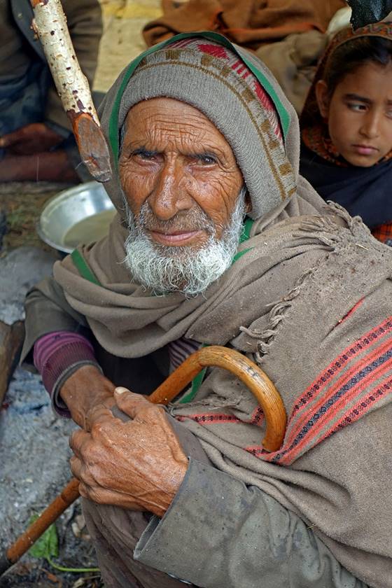
number of Muslim shepherds in the valley south of Agsho
La and in the Danlong Nala
valley. These shepherds, who live there only during the summer months, are
members of a non-Kashmiri semi-nomadic tribe, the Bakarwals,
distributed over parts of Afghanistan, Pakistan, and India. Unlike most of the
rest of the trek this part of the itinerary lies in the northern region of the Kishtwar district of Jammu & Kashmir, known as Padder.
Day 19 (of
trek): From WP #086 to the hamlet of Sumcham (WP
#091) in the Bujwas Nala
valley
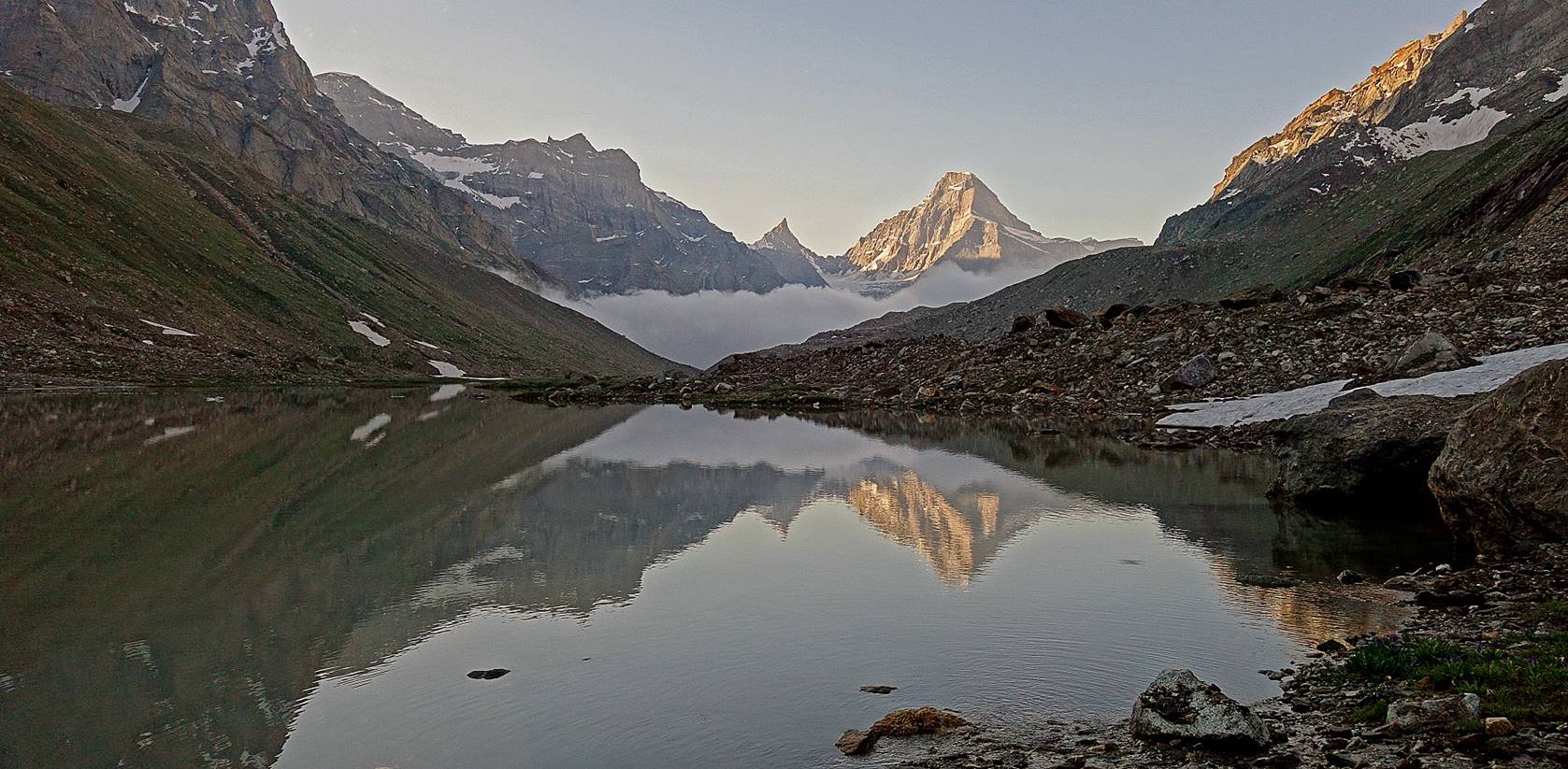
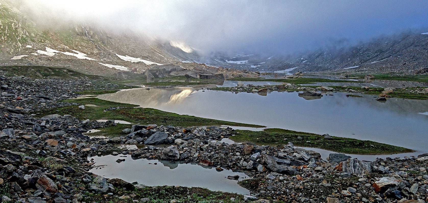
View toward Agsho
La at sunrise from the camp at WP #086, with Chiring
peak partially lit by sunlight.

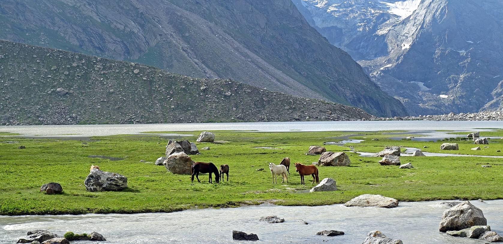
View toward the south from the camp.
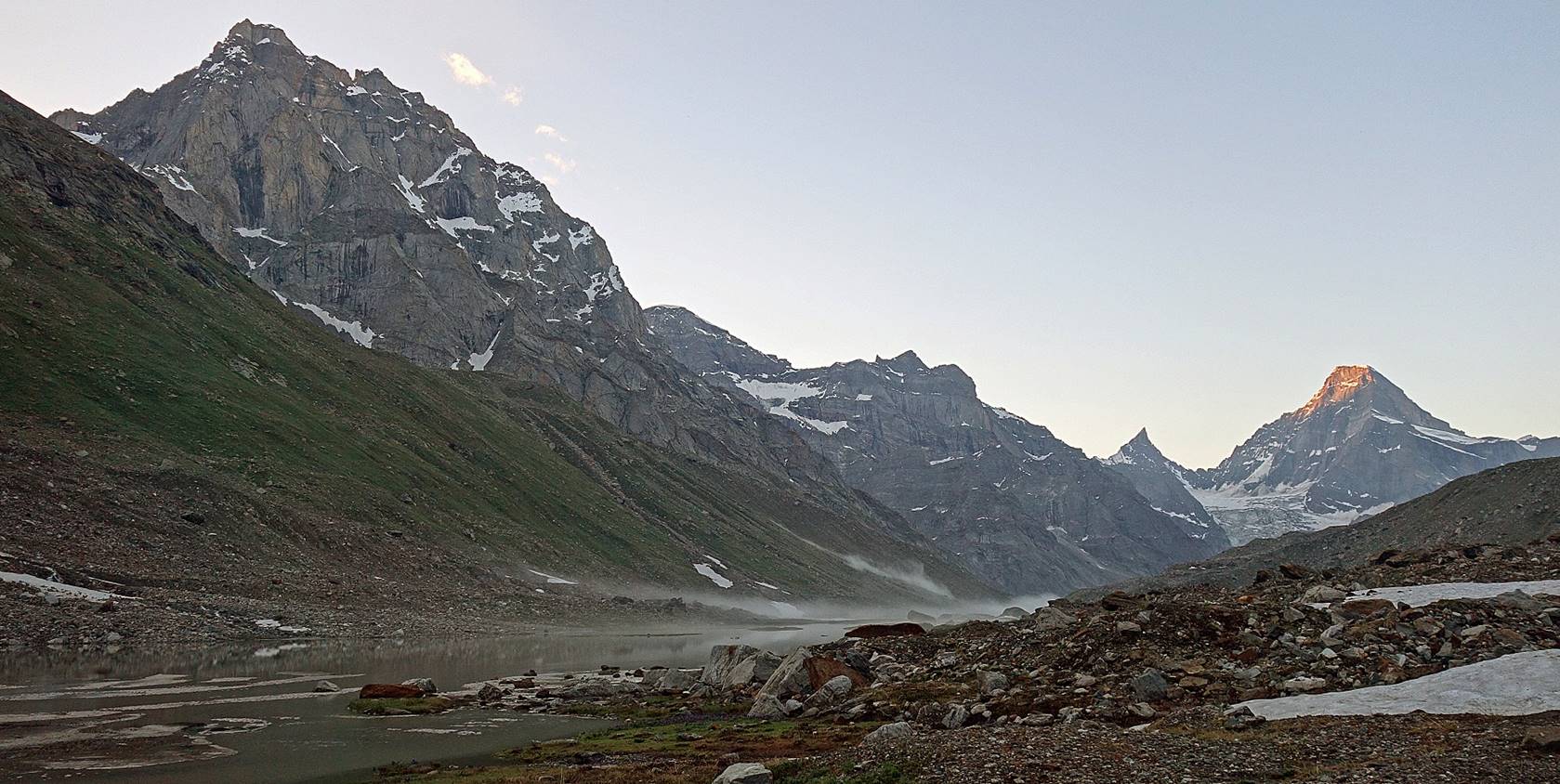
Reflections on the lake.
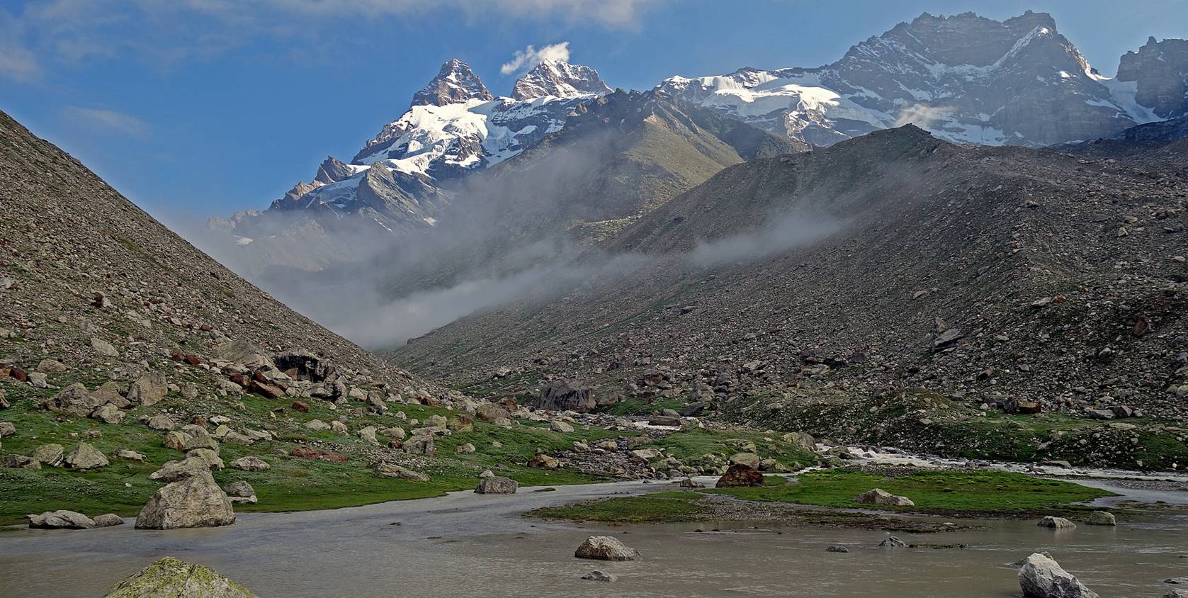
Further down in the valley south of Agsho La.
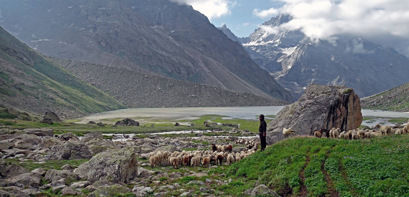
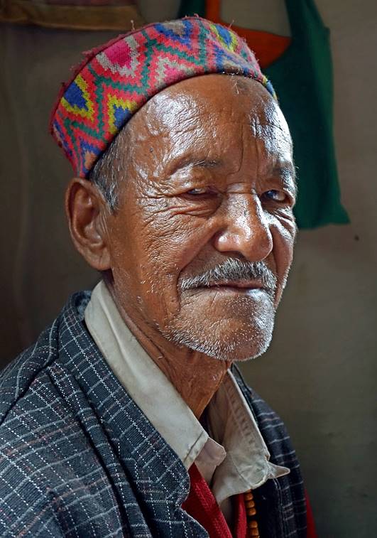
Shepherds, sheep, and horses.

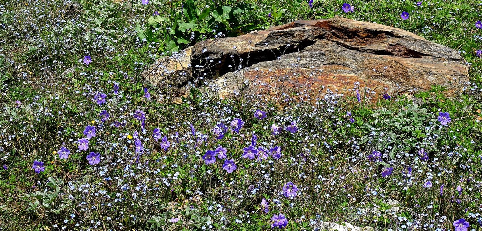
Flowers.
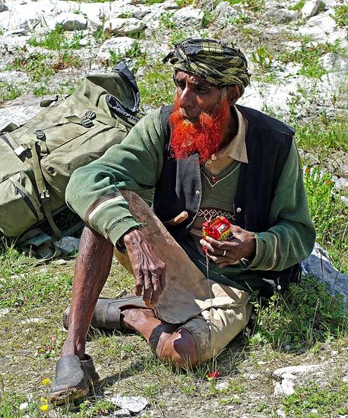
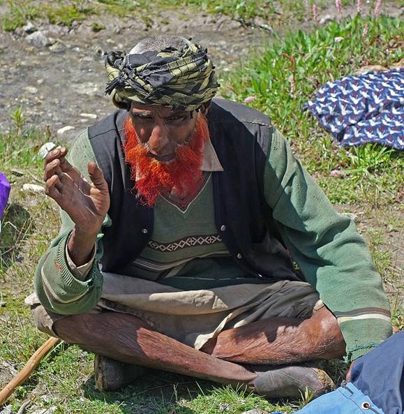
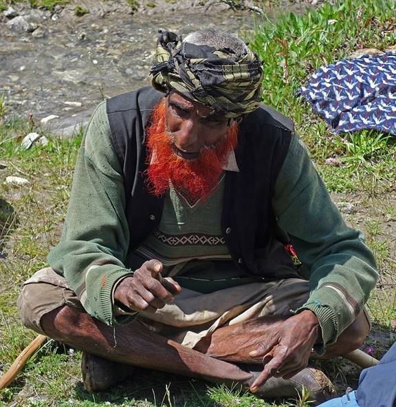
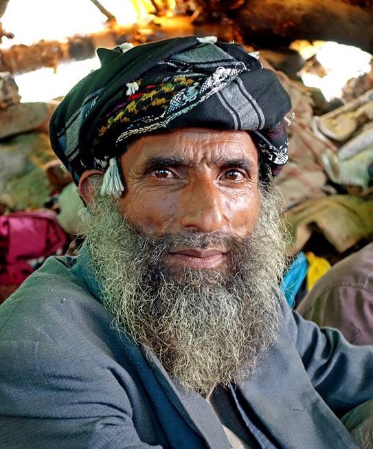
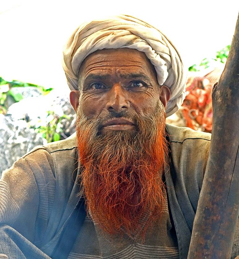
As we had made a break to drink tea,
this shepherd came and talked a lot. I have no idea what he told us.
|
|
|
|
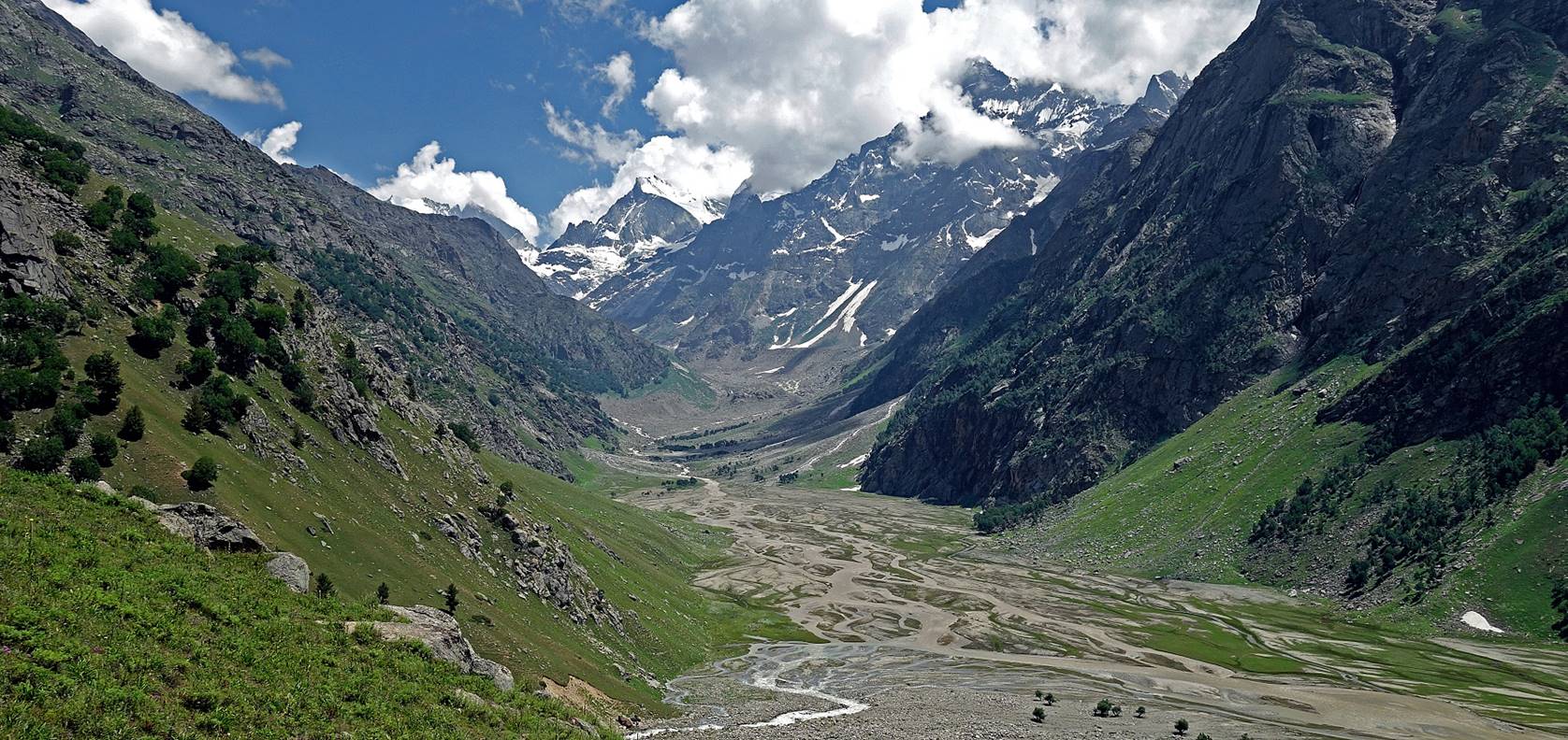
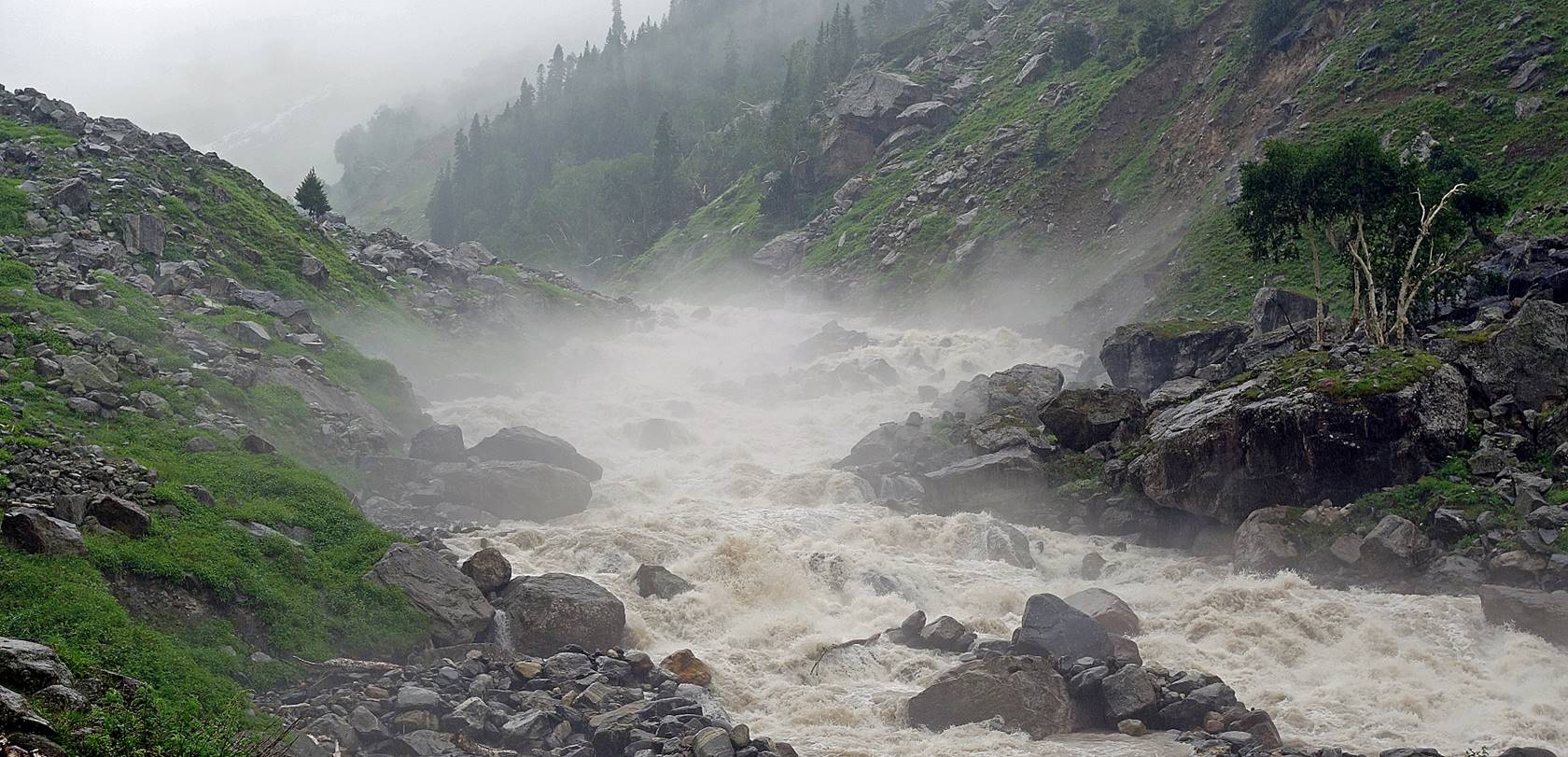
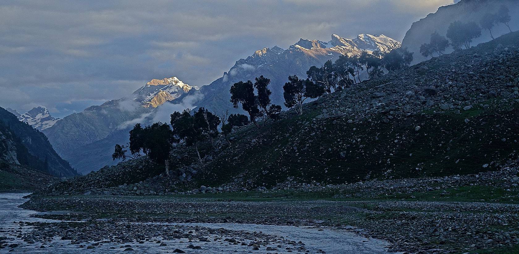
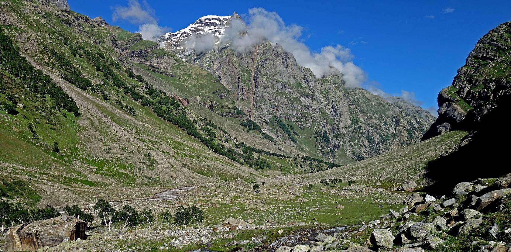
View of the lower part of the valley.
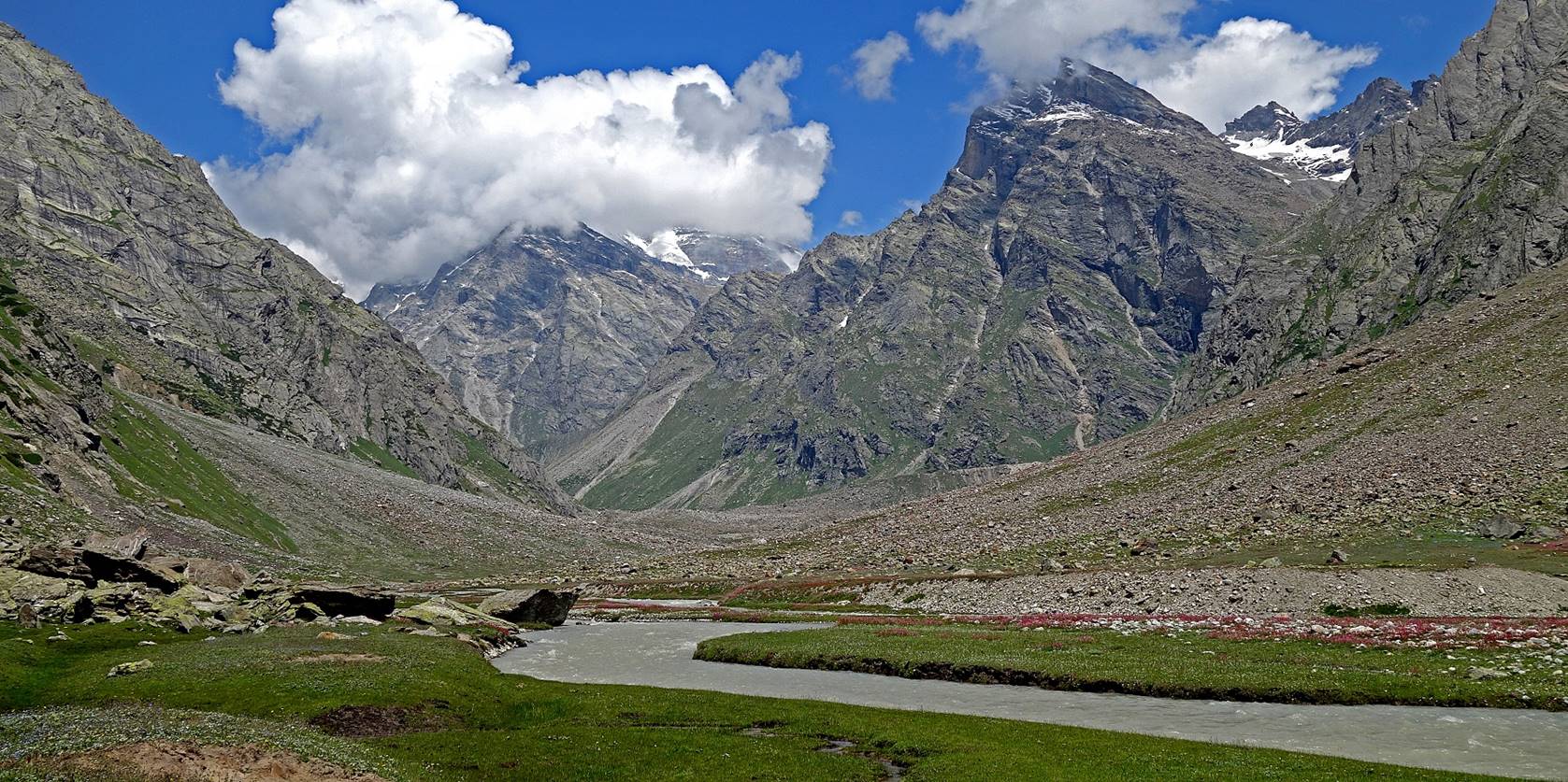
We then reached the Bujwas
Nala valley. In 2018, I had pitched my tent in this
meadow after descending from Umasi La (another pass
between Zanskar and Padder).
This year the meadow was flooded.
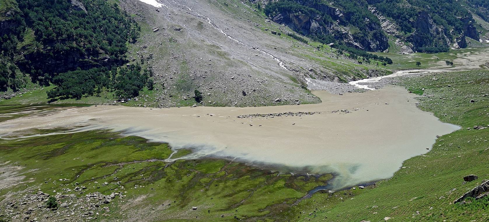
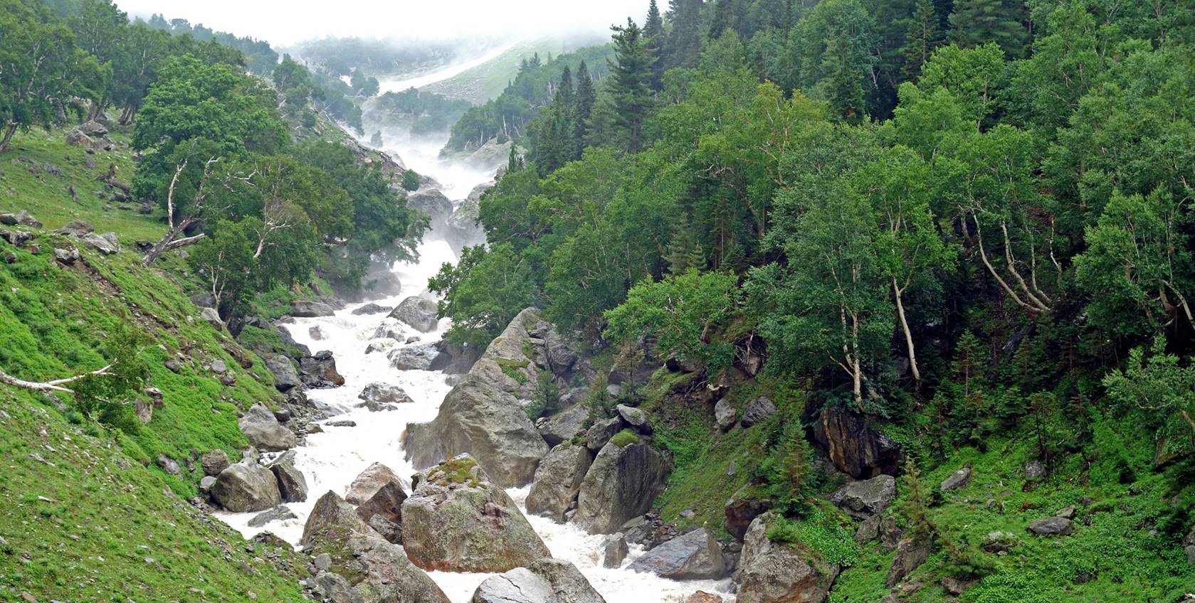
View toward the east of the Bujwas Nala valley. (The Muni La
West pass marked on the Olizane map is somewhere in
the background.)
Day 20: From
Sumcham (WP #091) in the Bujwas
Nala valley to the camp at WP #097 in the Danlong Nala valley on a rainy
day
Huge hard-packed snow patch covering the
trail and the Bujwas Nala
below Sumcham (on a very foggy morning).
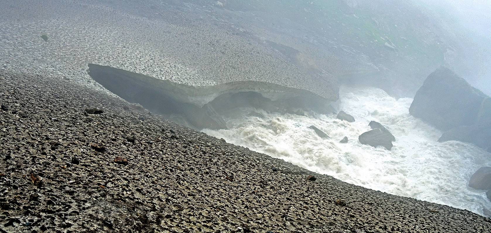
Woman and child crossing the snow patch.

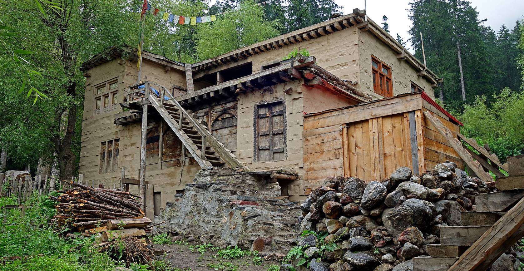
House in Drangha
(WP #093).
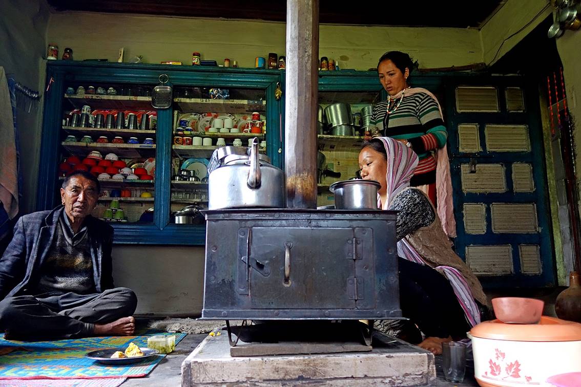
Inside that house. The family living
there were relatives of Tundup. They invited us to
drink tea and eat chapattis with butter.
|
|
|
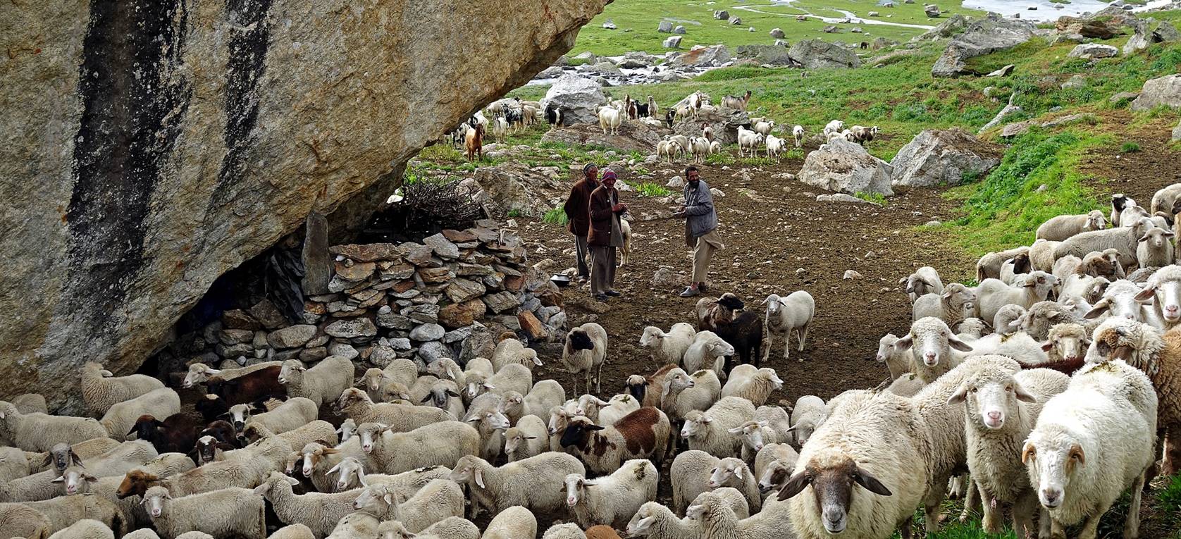
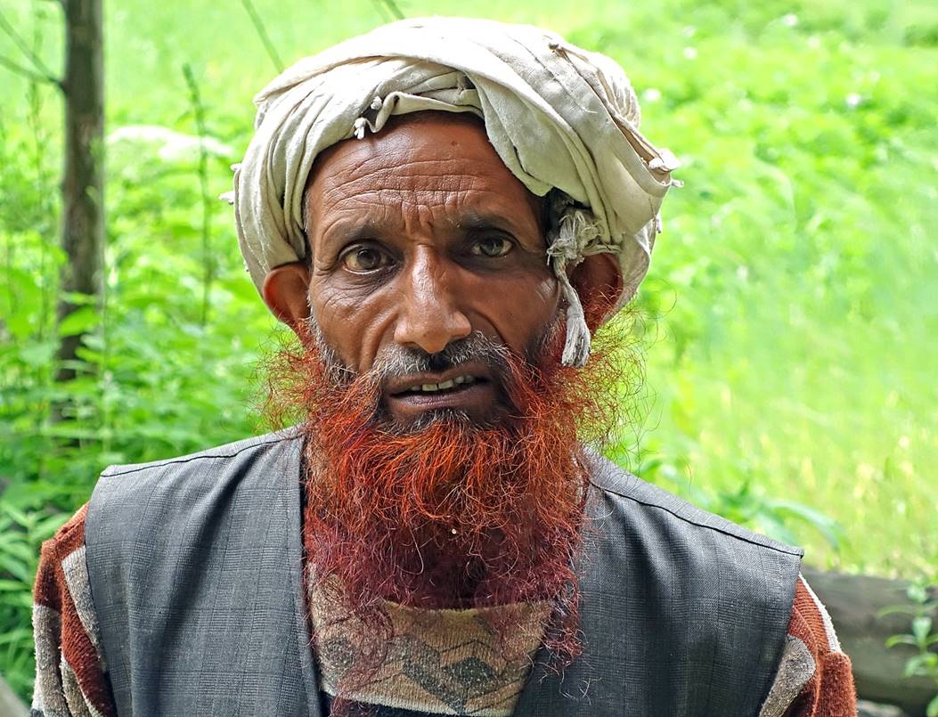
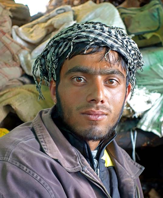
Shepherd in Drangha.
The hamlet serves as a sort of trading post for the shepherds in the nearby
valleys.
Misty Danlong Nala above Drangha.
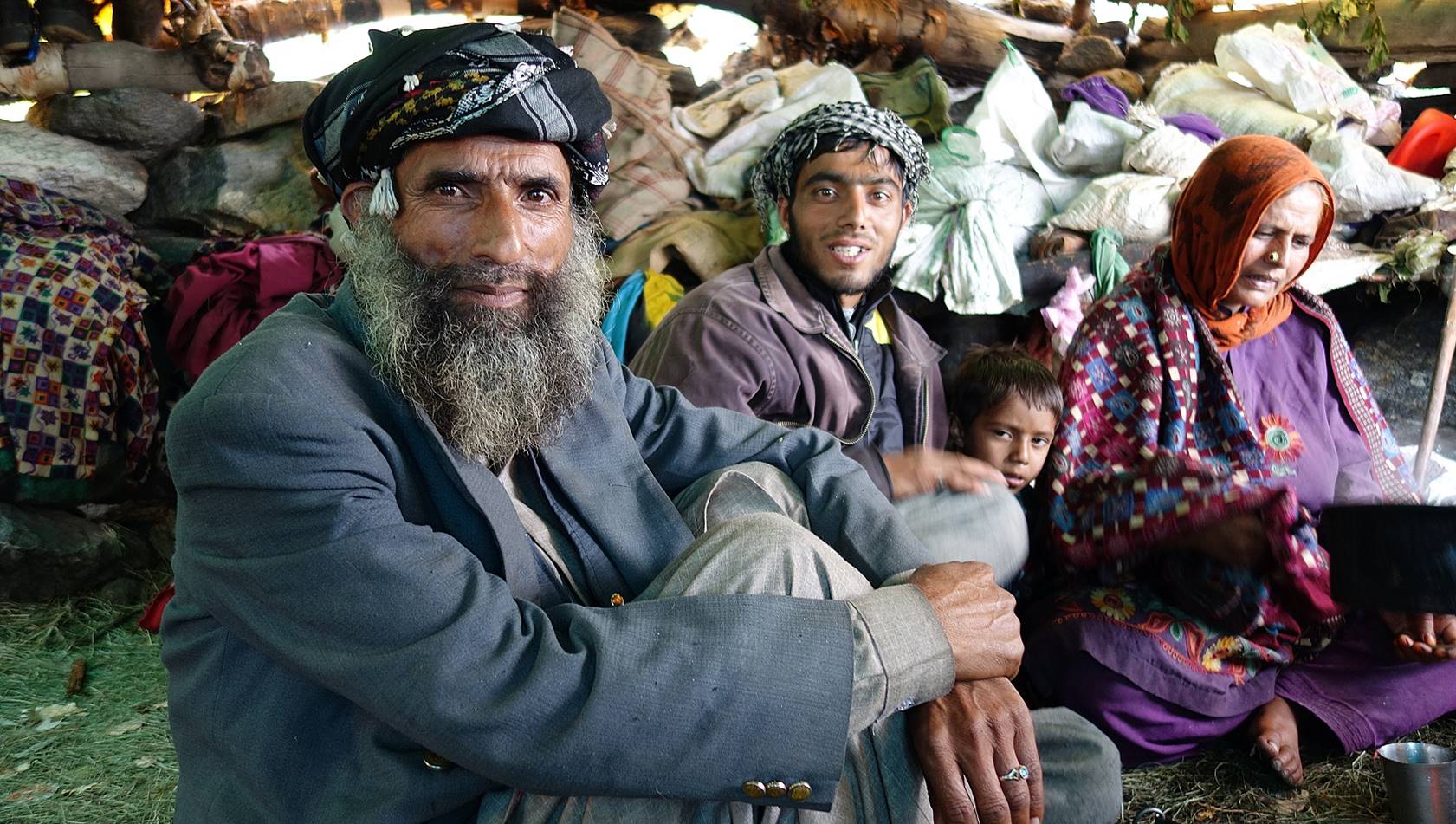
In a friendly shepherd settlement along
the way, where I was offered tea while it was pouring outside.
|
|
|
|
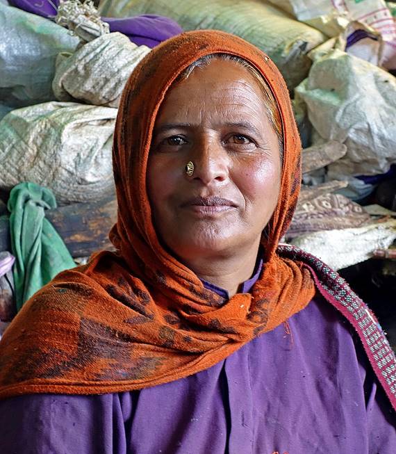
Other shepherds at the settlement,
apparently visiting from other settlements.
|
|
|
We set our camp a short distance above
the settlement (WP #097) on a nice flat meadow next to the Danlong
Nala.
Day 21: An entire day along the Danlong
Nala, from WP #097 to our camp at WP #101 next to
another shepherd settlement
View toward the west at sunrise from the
camp at WP #097.
Further up in the valley, still in the
early morning.
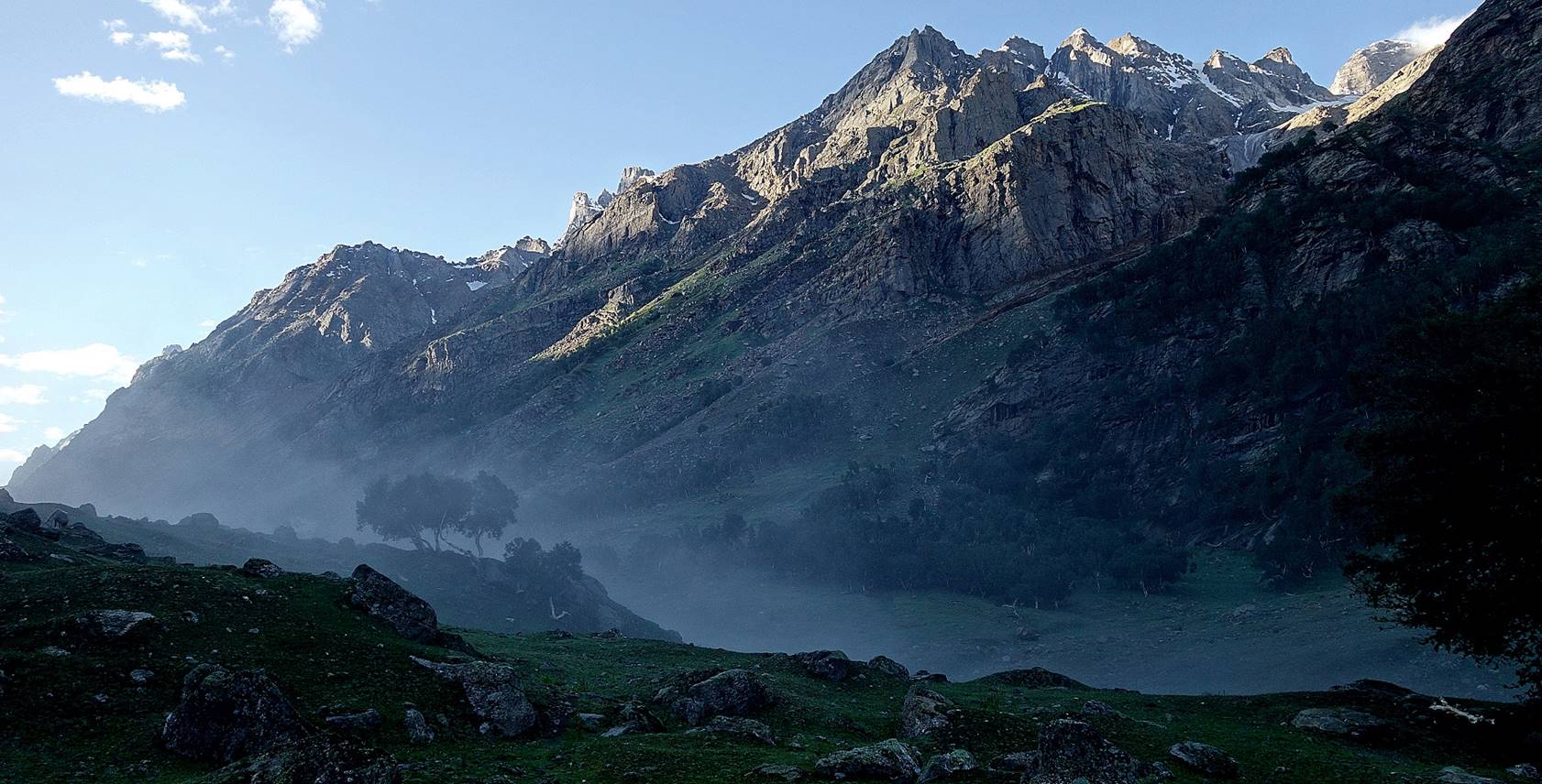
First view of the valley under bright
sunshine.
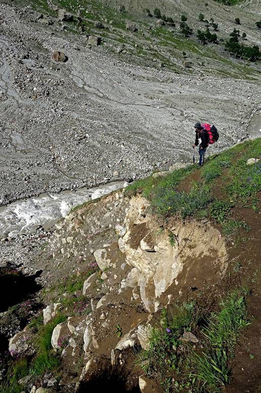
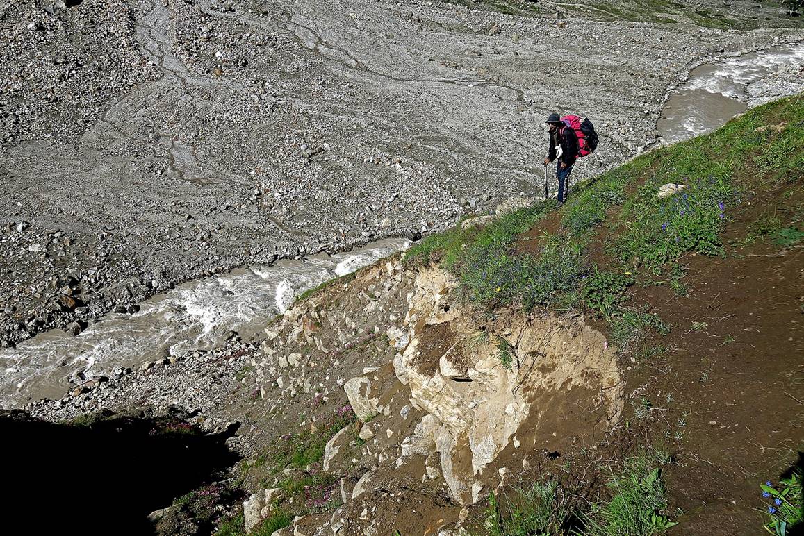
Tundup facing a cut in the trail caused by
landslide.
|
|
|
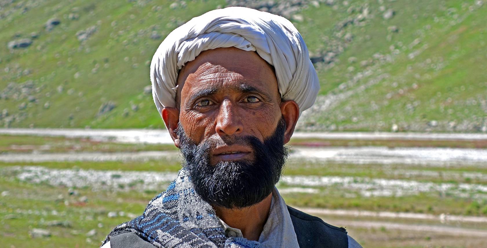
Shepherd encountered in the valley. He
was well-dressed and was probably going to Drangha or
perhaps even further to Gulabgahr (the main town in
the Padder region).
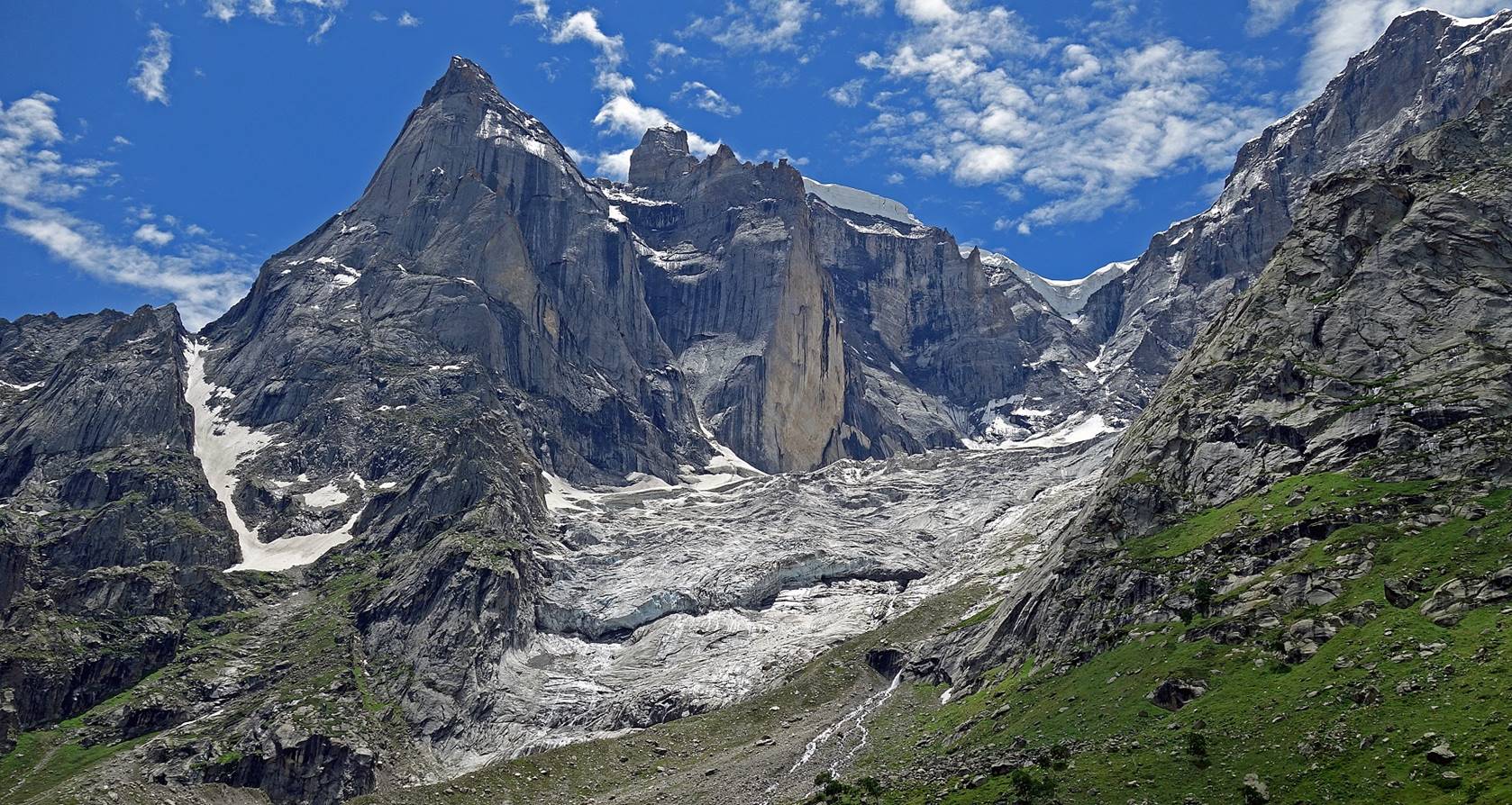
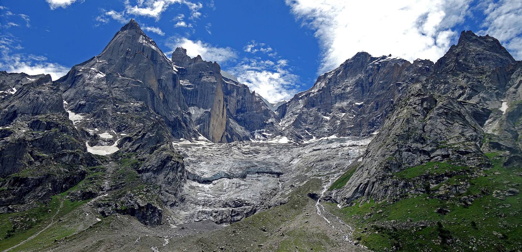
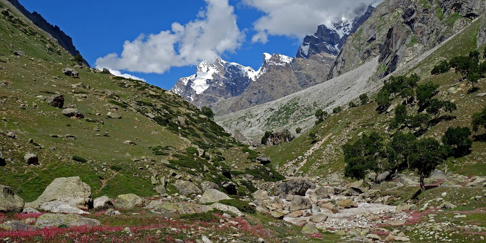
The impressive walls and glacier of Kalidahar (5370m), on the left (south) bank of the Danlong Nala.

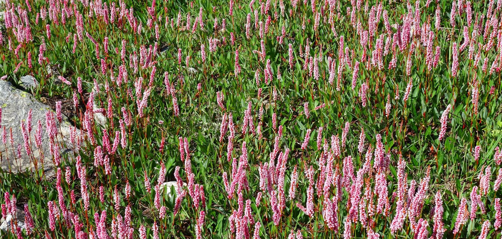
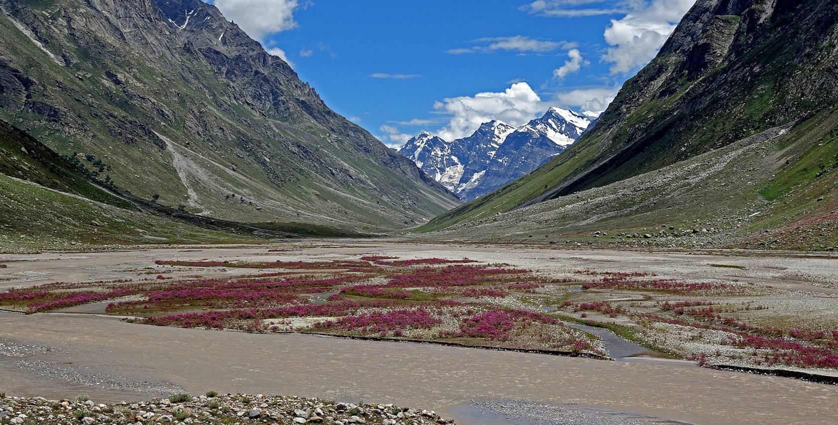
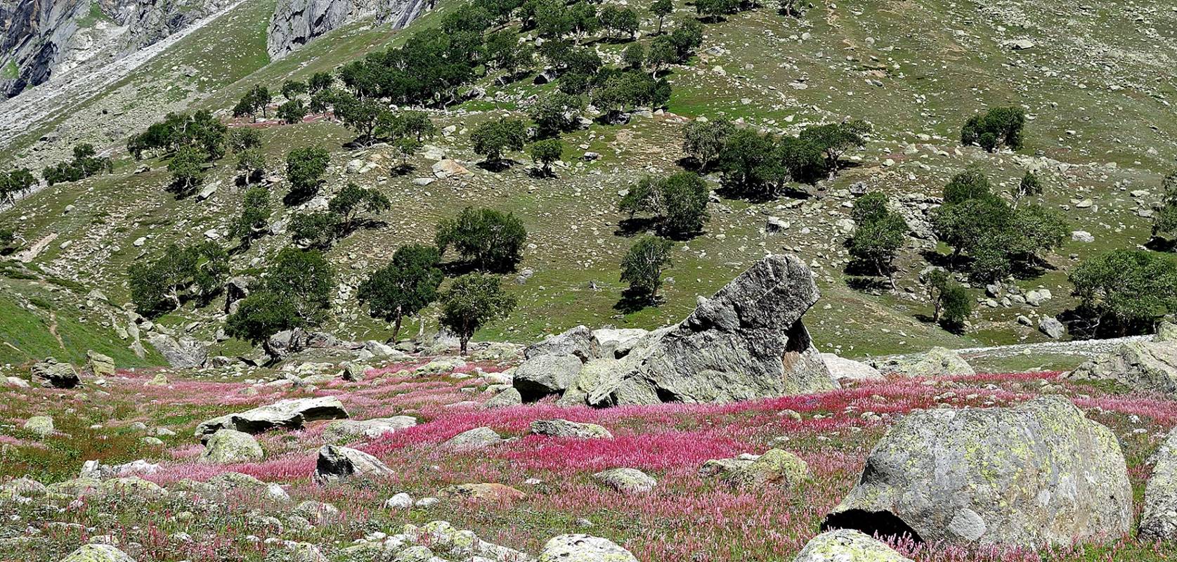
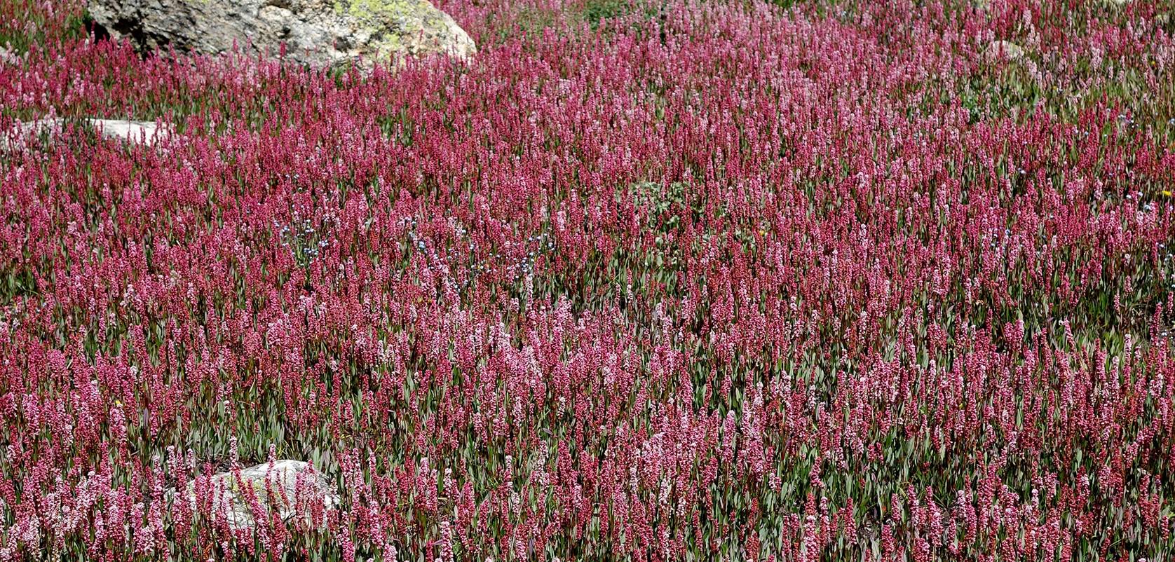
Islands of pink flowers in middle of the
valley.
View of the entrance of the side-valley
that will take us toward Muni La on the next day.
A peek into the side-valley.
Pink flowers at the entrance of the
side-valley.
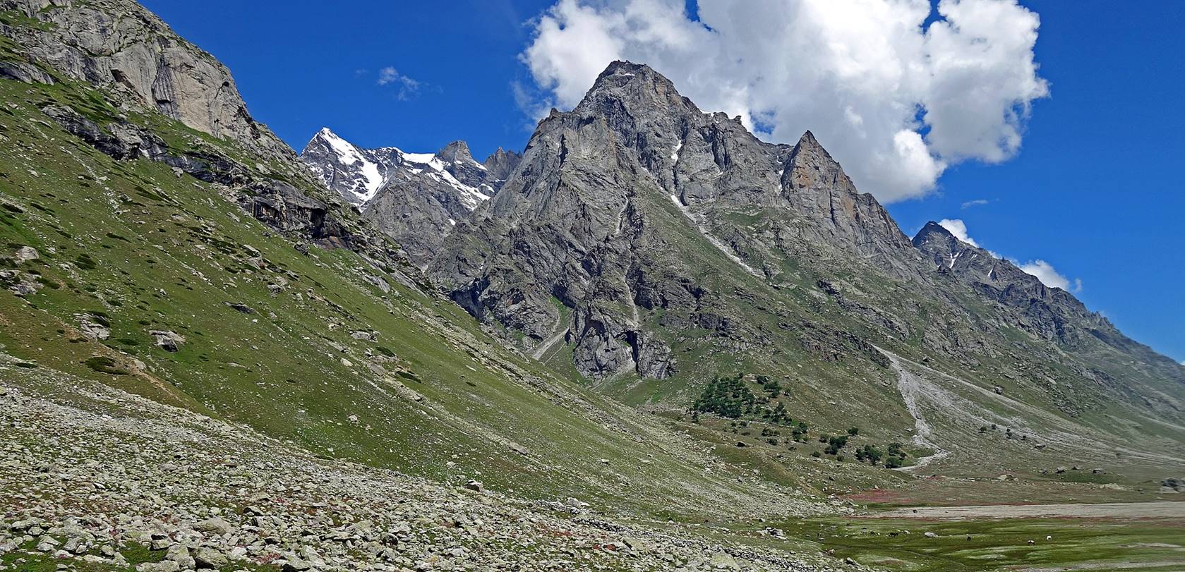
A peak (5340m) forming a quasi-perfect
pyramid standing in front of the side-valley, on the opposite side of the Danlong Nala.

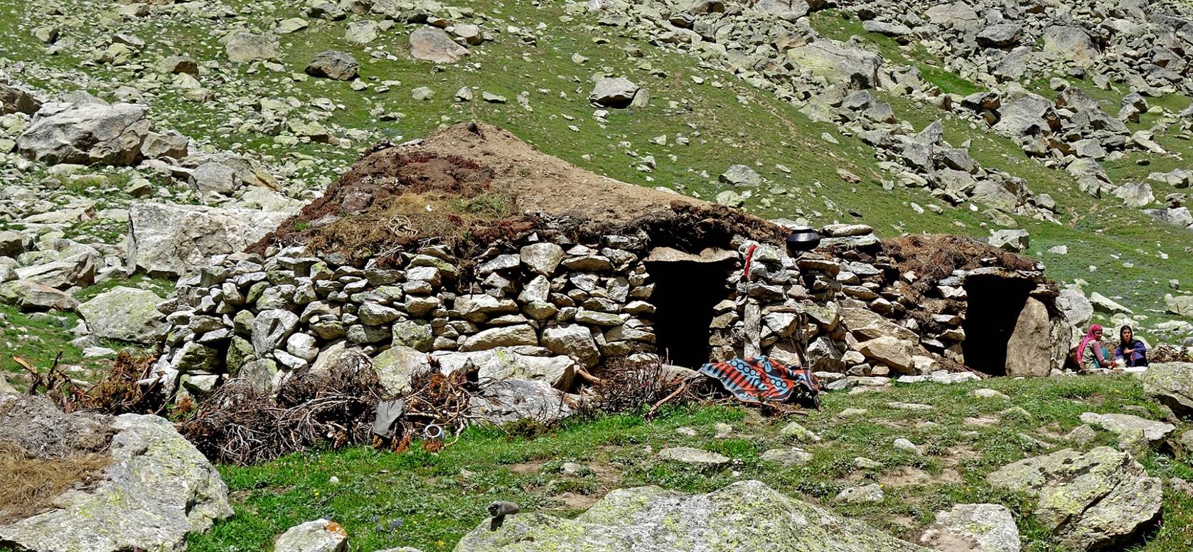
Shepherd settlement where we pitch our
camp (WP #101).
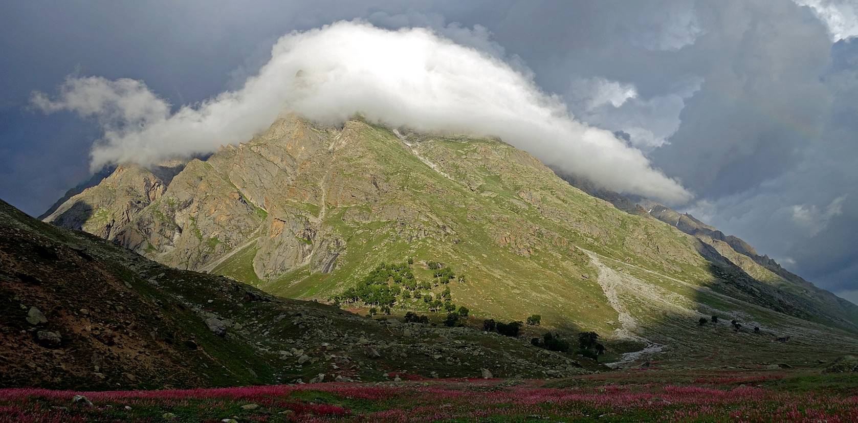
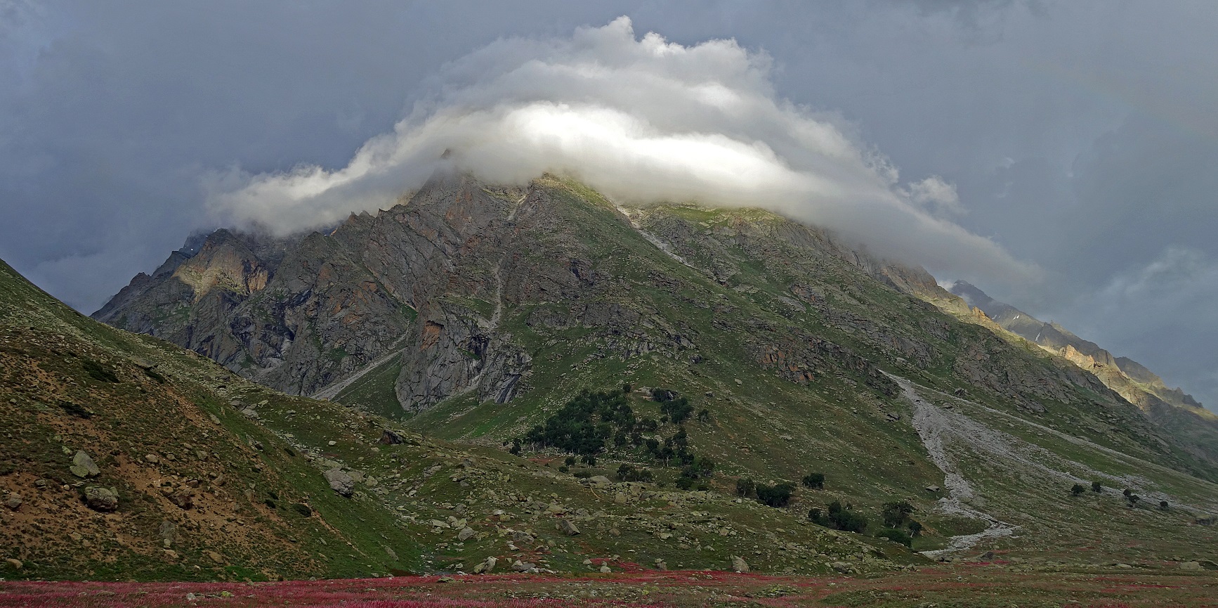
Lenticular cloud above a small peak at
the entrance of the side-valley, seen from our camp in the evening.
![]()