India
(July-August 2019): A meandrous 24-day trek in the Kargil
and Kishtwar districts of Ladakh
and Jammu & Kashmir
Leg
1: From Mulbekh to Rangdum
(Part 2/3)
|
|
Return
to main India 2019 webpage
Views of the itinerary in Google
Earth:
[Reminder: Click here (kmz file) and open the
downloaded file in Google Earth to access the GPS waypoints that I recorded
during the trek: red pins for starts and finishes, green for camps, brown for
passes, and yellow for other waypoints. Orange markers have been added by hand;
they are not GPS waypoints.]
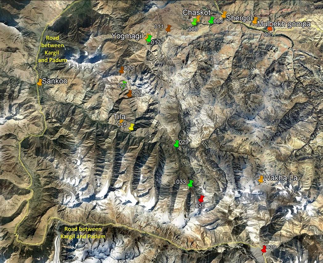
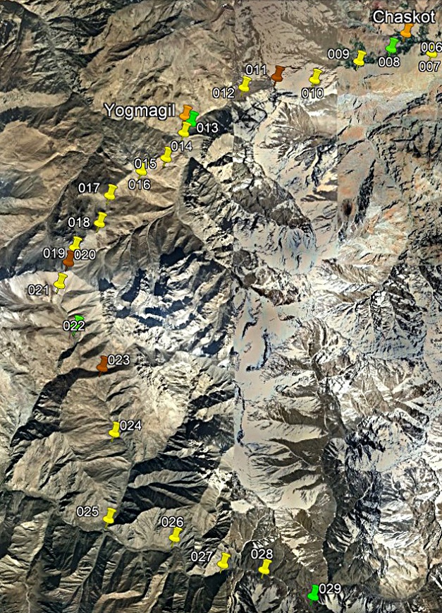
Left: View of the entire first leg, with
only a subset of GPS waypoints. Right: View of the second part of the first
leg, with all waypoints.
|
|
|
Brief description:
Starting from our camp at WP #008 this
part of the trek crosses three ″easy″ passes: Sapi
La (WP #011, 4367m), Rasi La (WP #020, 4960m), and Chardo La (WP #023, 4380m). It reaches the remote village
of Itchu (also spelled Ichu
and Ichou, WP #029) at the end of the Phulangma (a.k.a. Kartse) river
east of Sankoo, a bazar town on the road between Kargil and Padum. Sapi La is crossed by a newly built road, but this road is
easy to avoid by following old trails on both sides of the pass. Sapi La is a soft double pass, which requires crossing two
ridges with a small gap between them. Chardo La is
more a low point in a shoulder than a real pass. The itinerary reaches a road
along the right bank of the Phulangma river at WP
#025 (village of Bartu). This road continues for
roughly 3 kilometers toward the east. After the end of the road, one can
observe remains of a calamitous attempt to continue the road toward Itchu. A bridge crosses the Phulangma
river and a foot path on the left bank of the river
leads to Itchu. So, Itchu
is still only accessible on foot and will likely stay so for a very long time.
Day 3: From Chaskot, across Sapi La (4367m),
to camp (WP #013) below Yogmagil village
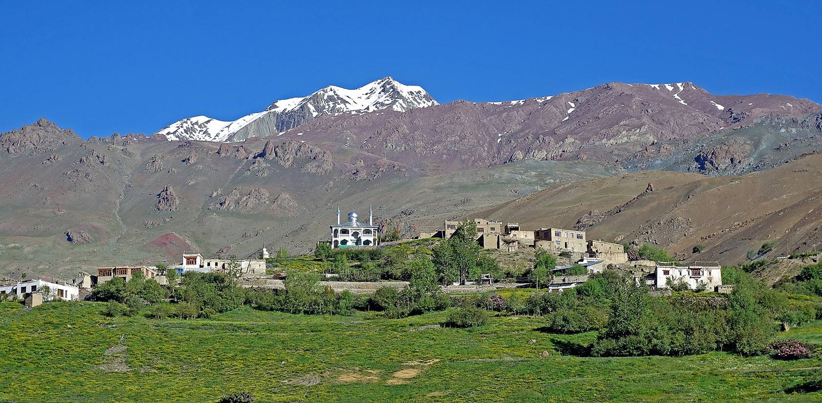
The village of Chichen
seen from the trail. Located a short distance above Chaskot,
this village is dominated by a recently built and somewhat ostentatious mosque,
next to an old Buddhist stupa visible on its left in the photo. The
juxtaposition of Buddhist and Muslim structures is quite frequent in the
region.
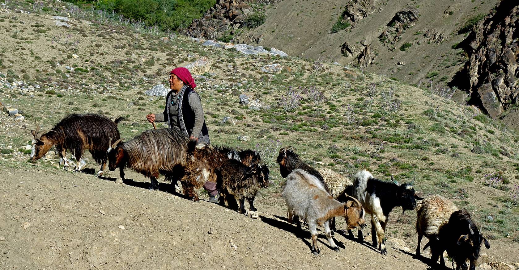
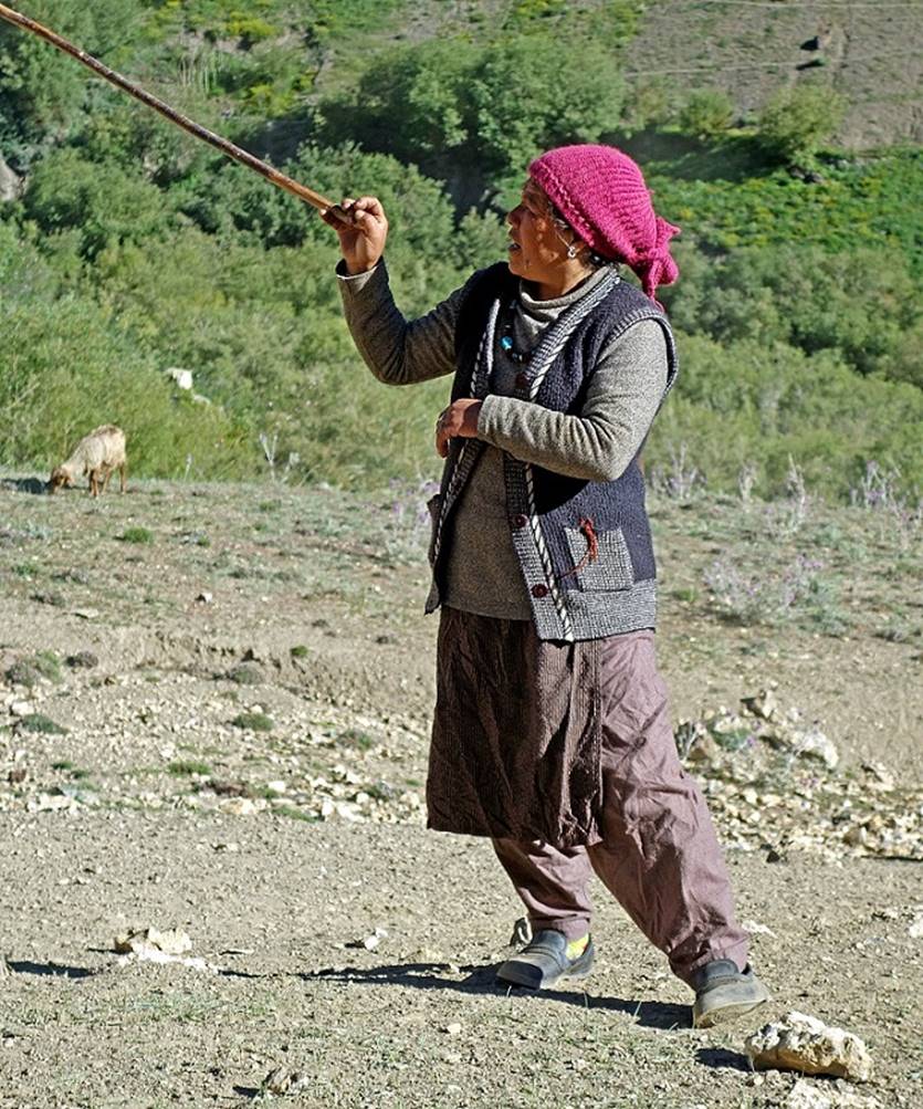
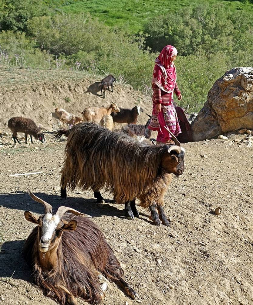
Shepherds encountered along the way.
|
|
|
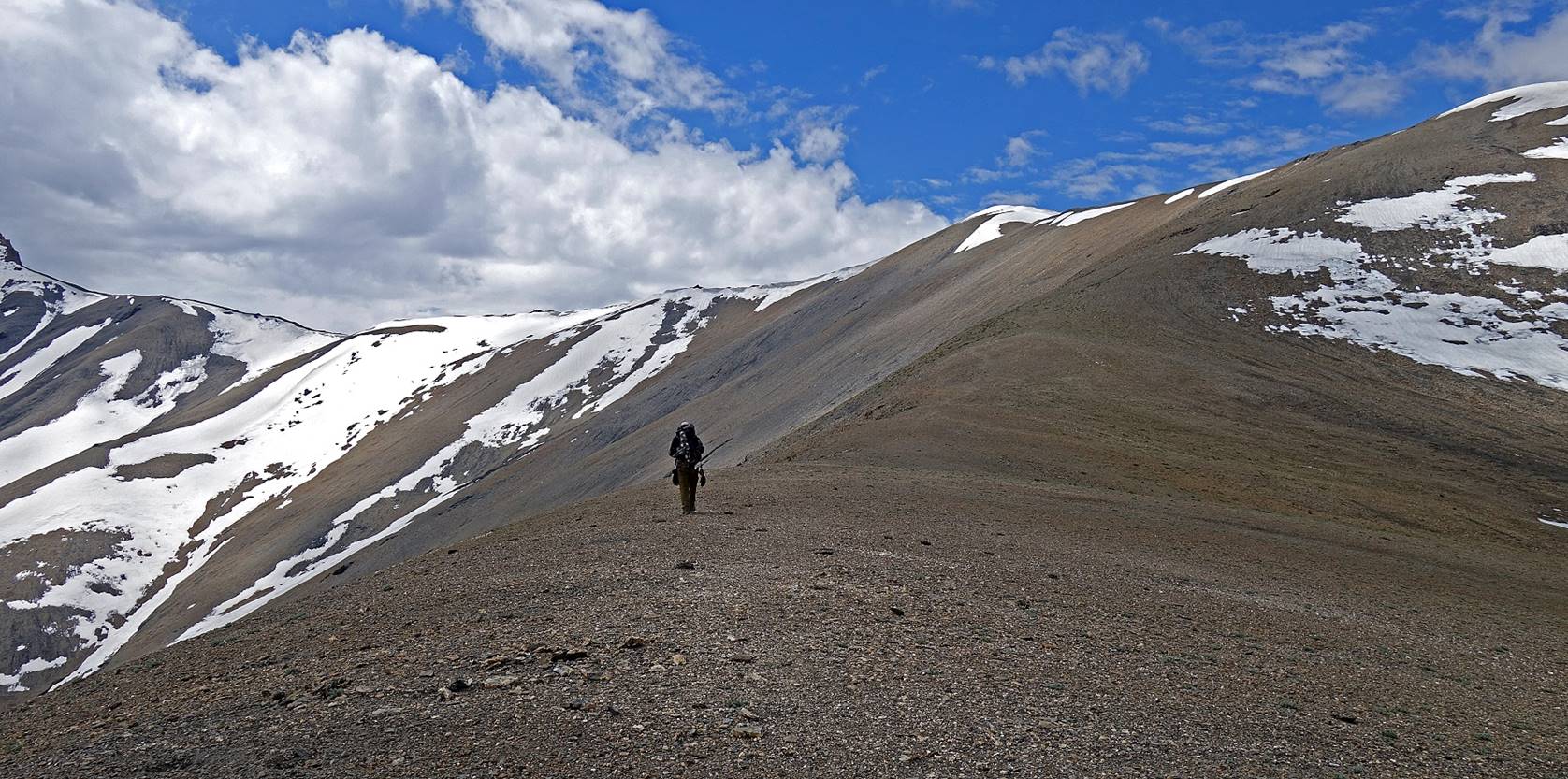
Looking toward Sapi
La (located on the right of the cliff at the center of the photo).
Wave-shaped rock structures above the
trail.
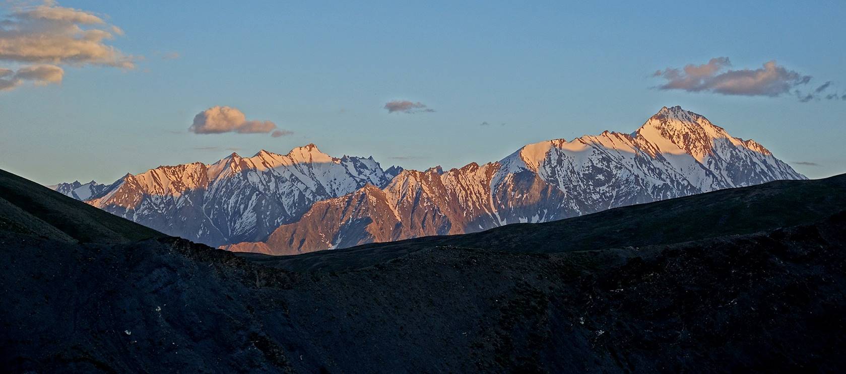
Snowy mountains north of Sapi La.
Looking back over the valley of Shergol, Yoge, Chaskot and Chichen.

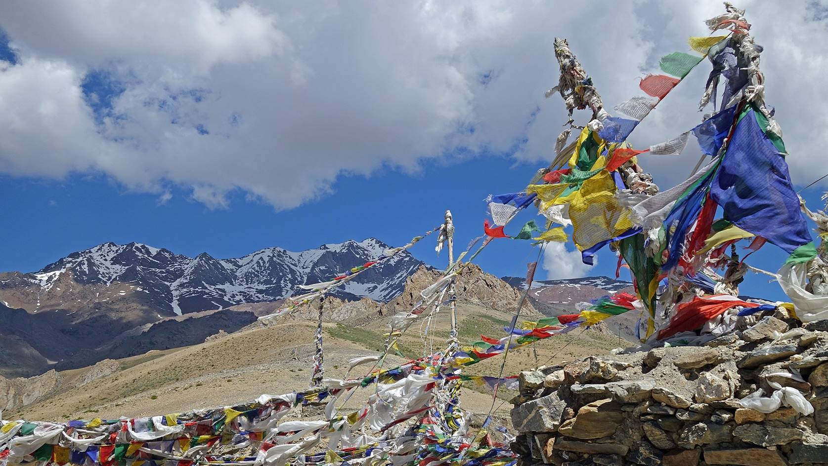
Prayer flags at Sapi
La.
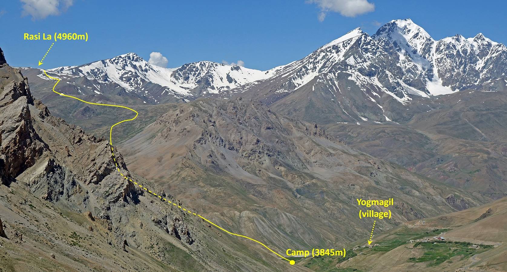
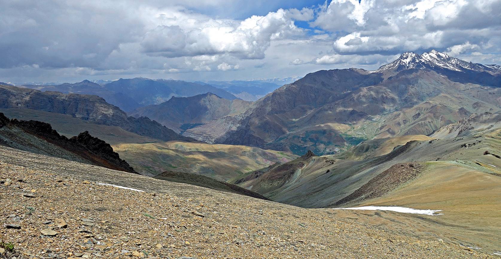
View toward Rasi
La from Sapi La, with the location of our next camp (WP
#013) visible at the bottom of a valley below the village of Yogmagil.
Reaching the location of our camp.
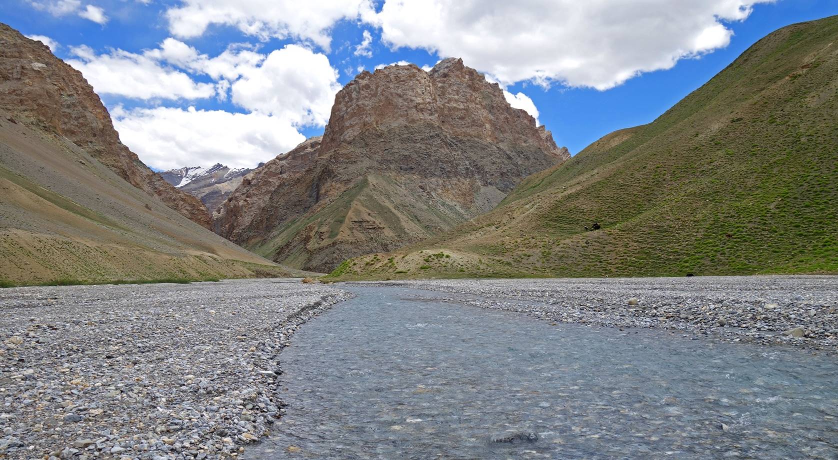
Clear-water river
near our camp.
Day 4: From
WP #013 to WP #022 across Rasi La (WP #020).
View of Yogmagil, just after crossing the river of the previous
picture, on our way to Rasi La.
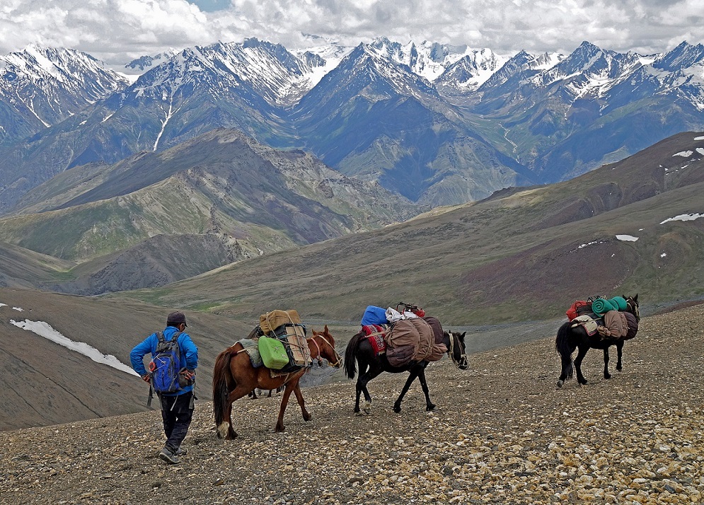
Views toward the south during the ascent
of the pass. Rasi La is on the right side of the two
pictures below.
On the upper ridge leading to the pass.
View from the ridge toward the
northwest, with the valley of the Suru river north of Sankoo in the
background.
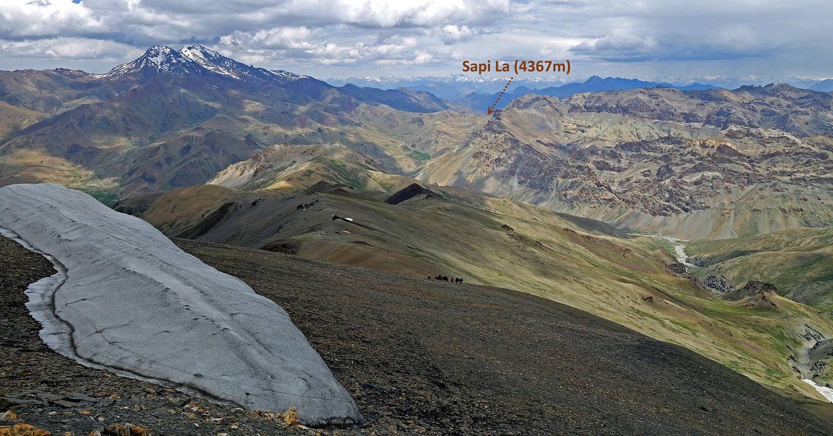
View toward the northeast with Sapi La visible in the background.
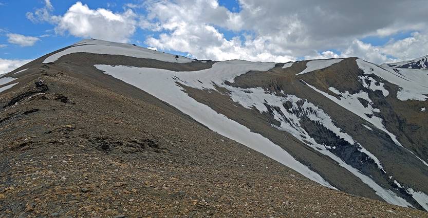
Reaching the double ridge of Rasi La.
|
|
|
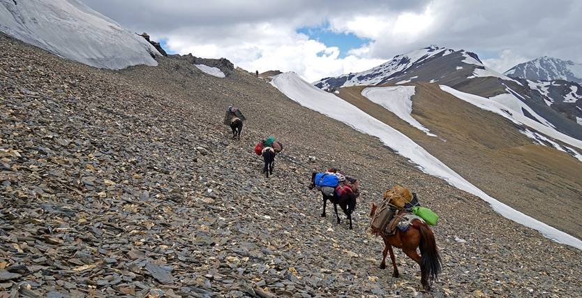
Taking a rest at the pass.
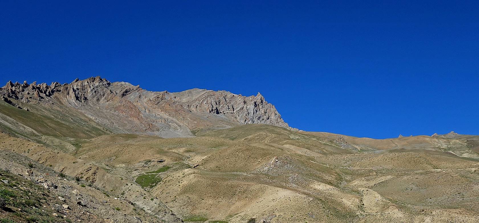
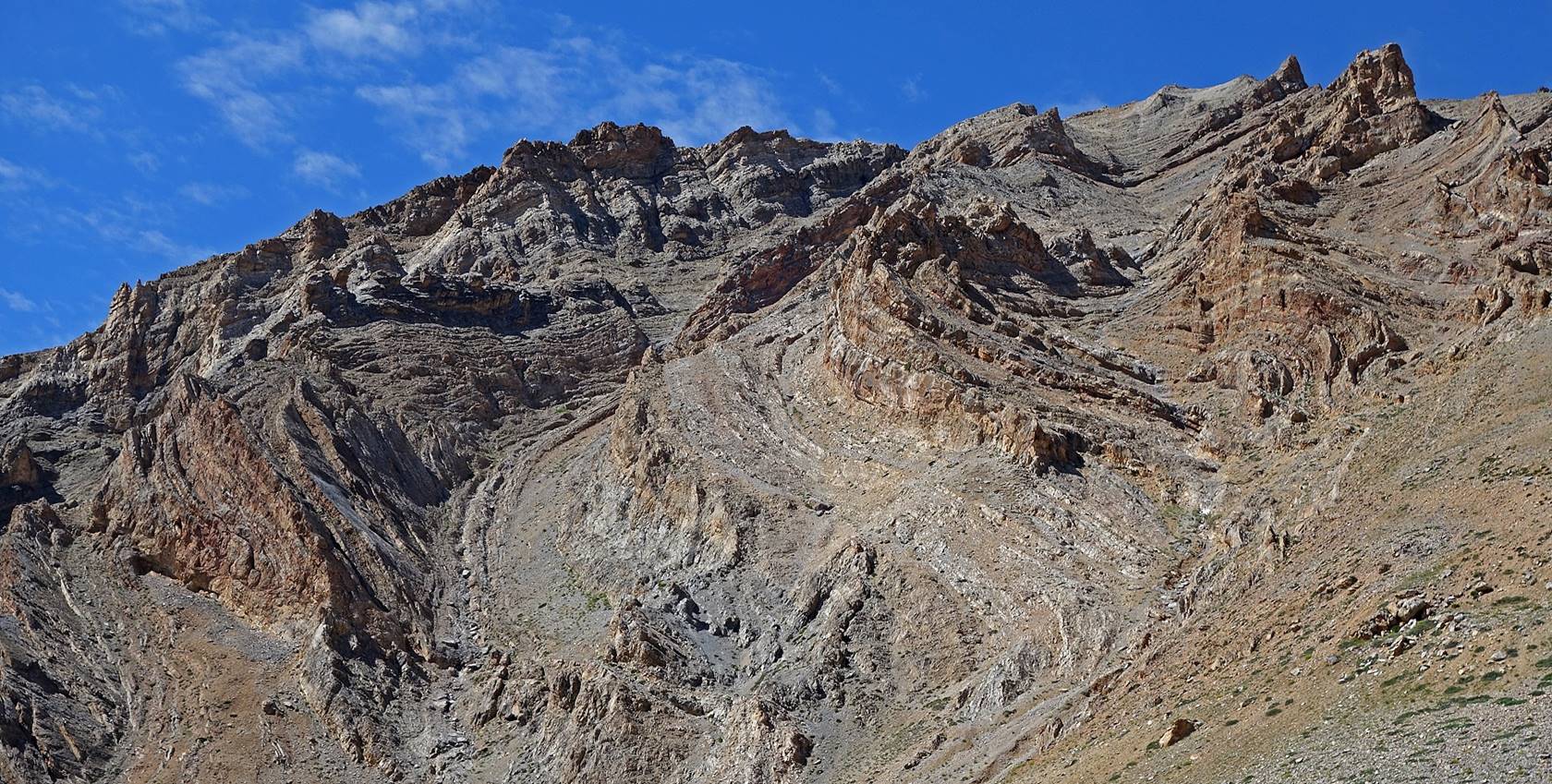
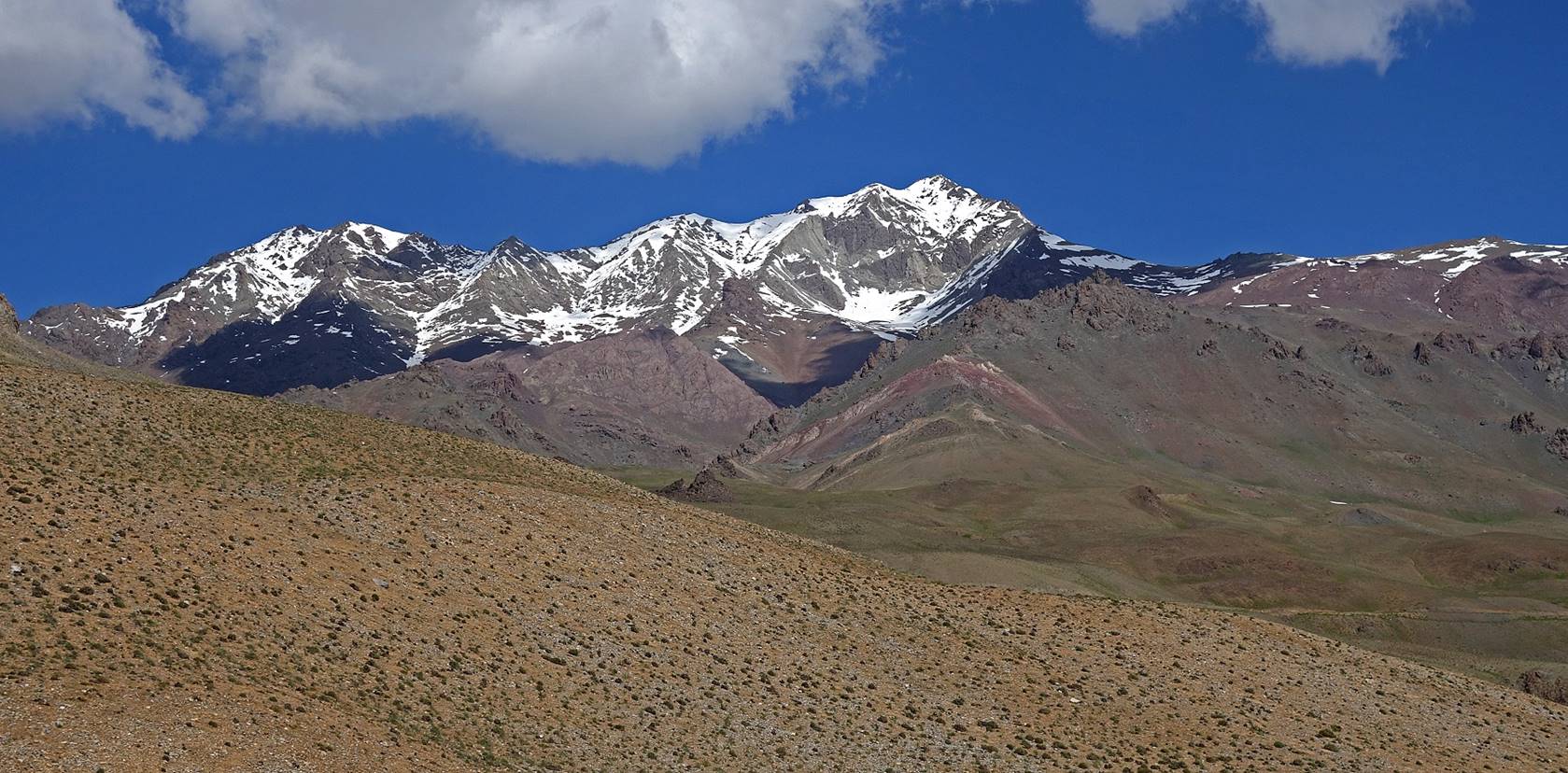
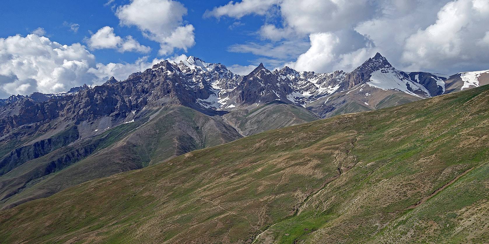
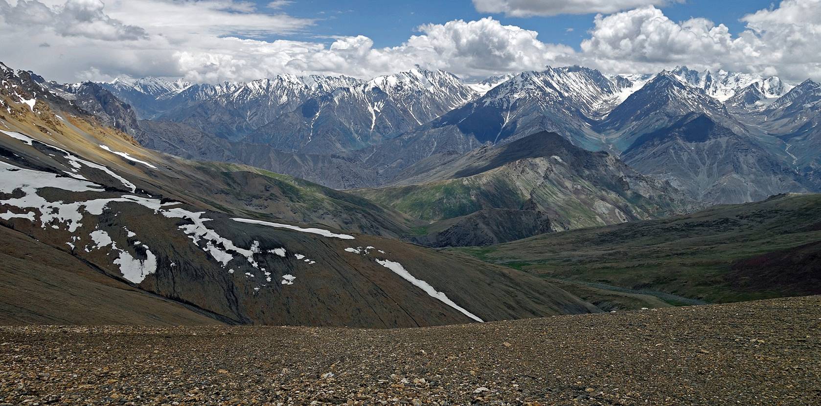
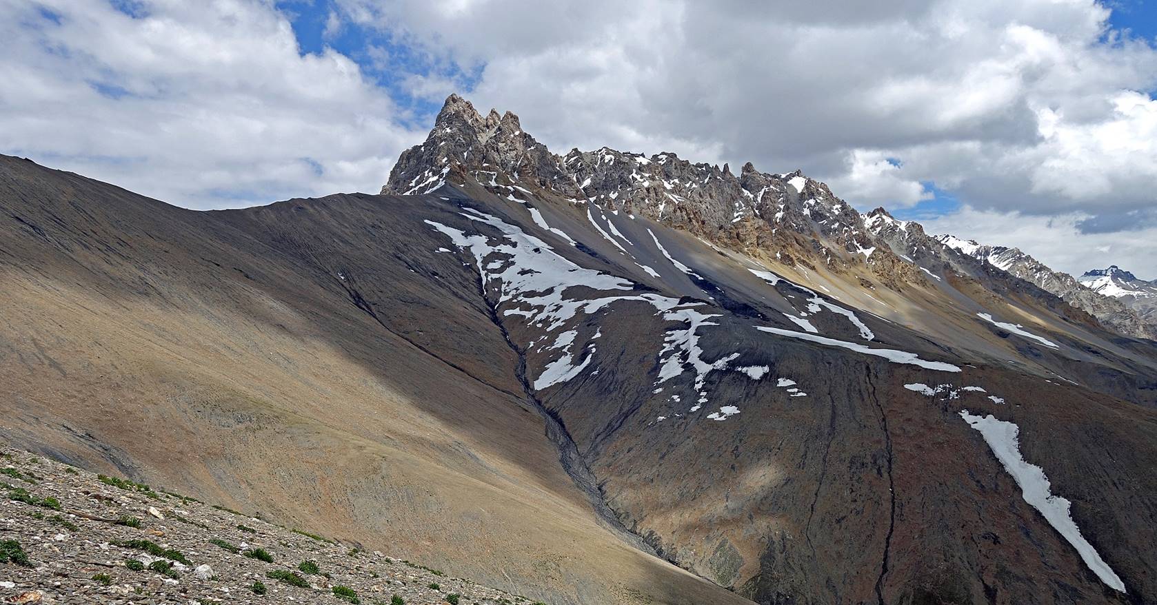
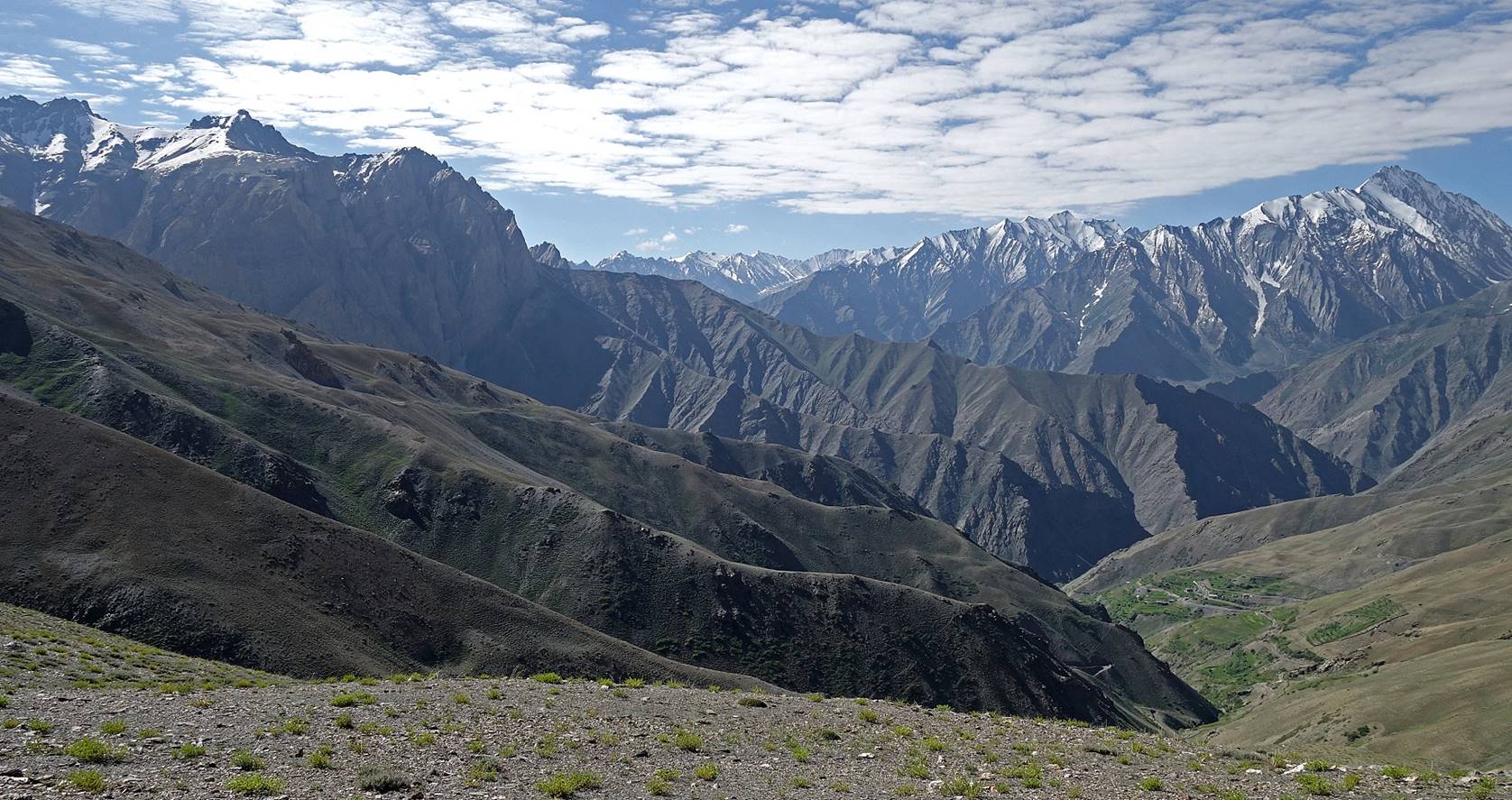
View of the mountain range south of Rasi La.
This range lies between the valley of the Phulangma river and the road between Kargil
and Padum (Suru valley west
of Rangdum) further south.
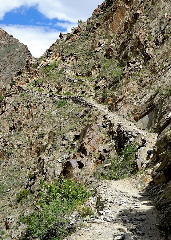
Descent from Rasi La.
|
|
|
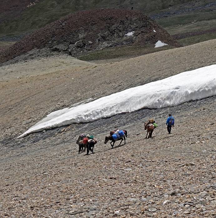
Looking back toward the pass.
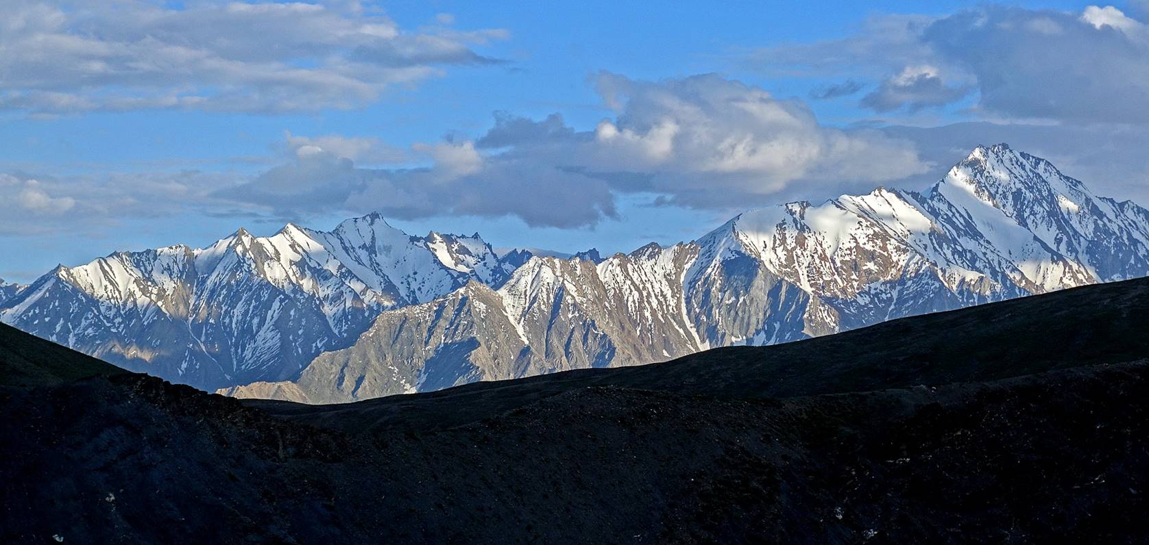
Late-afternoon view of the mountain
range south of the Phulangma valley, from our camp at
WP #022 below Rasi La. Chardo
La is at the dip of the shady terrain in the foreground.
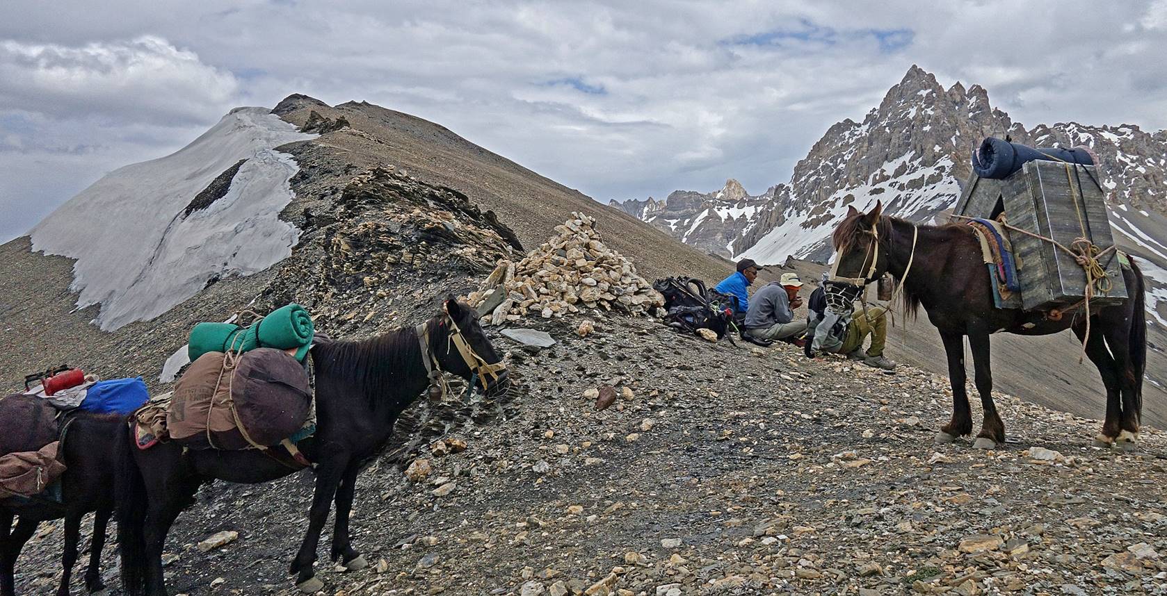
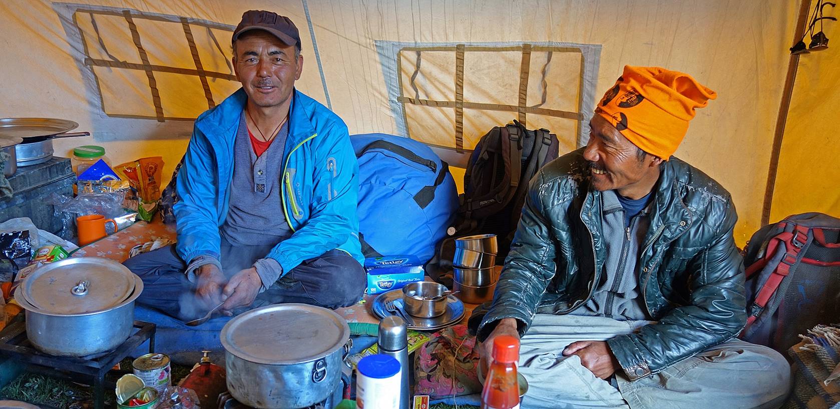
Nurbo (left) and Dorje
Tundup at the camp below Rasi
La.
Day 5: From
our camp north of Chardo La at WP #022 to the village
of Itchu (WP #029)
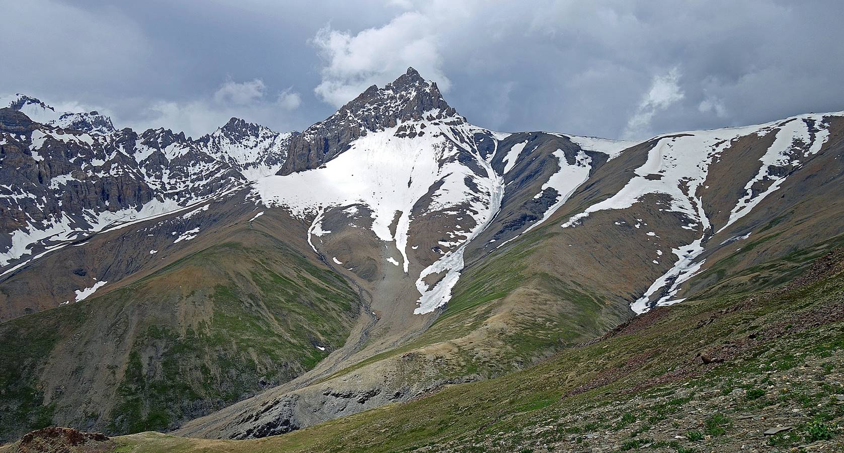
The same
mountain range as above seen in the early morning from the camp.
In the early morning, our camp was ″invaded″
by cattle (looking for salt).

View from Chardo
La (WP #023).
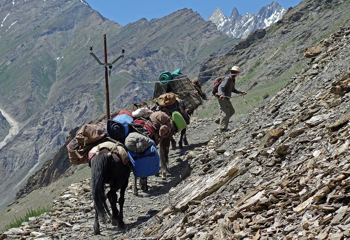
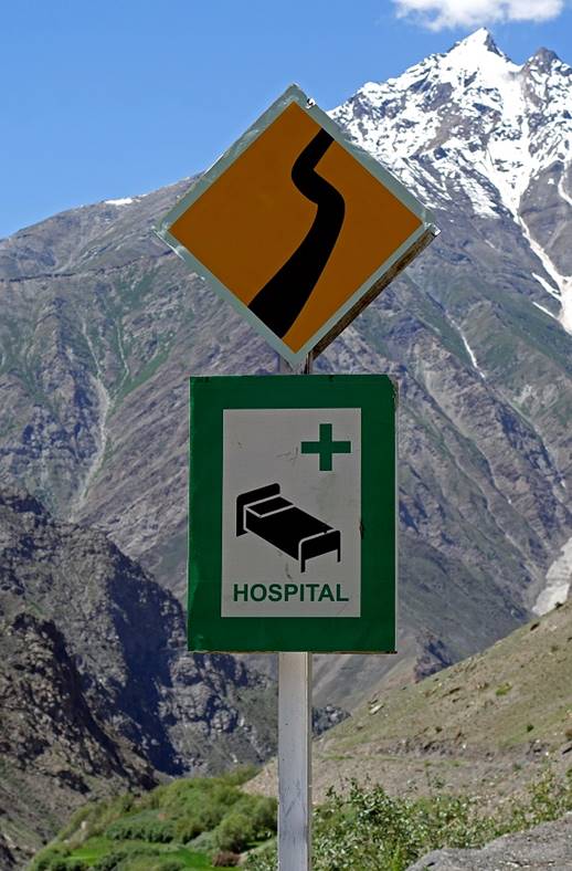
During the descent of Chardo La. Left: Dealing with a low electrical transmission
line along the trail. Right: Interesting combination of signs along the small
road above the village of Bartu (WP #025). Two
questions remained unanswered: Did the power line really carry electricity?
Were there a hospital, or at least a clinic, in the area?
|
|
|
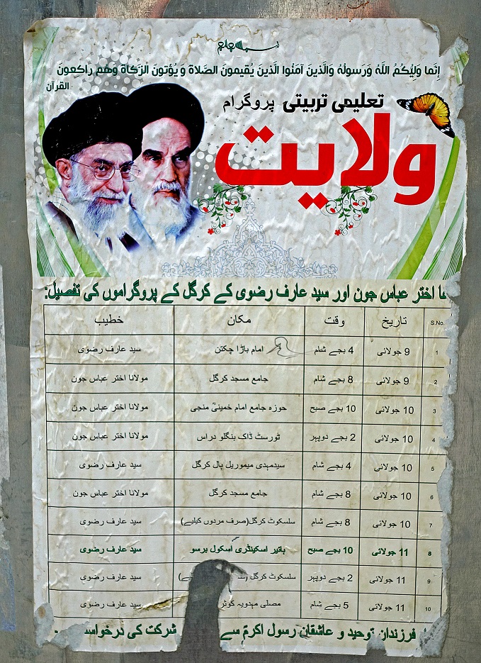
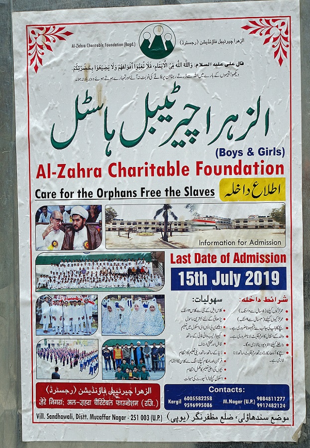
Posters in the village of Bartu, showing the influence of Iran on the dominantly
Muslim population of the Phulangma valley.
(Statistics show that Muslims in the Kargil district
of Jammu & Kashmir are predominantly Shia, while in most other regions,
especially around Srinagar, the overwhelming majority is Sunni.)
|
|
|
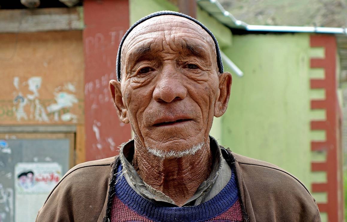
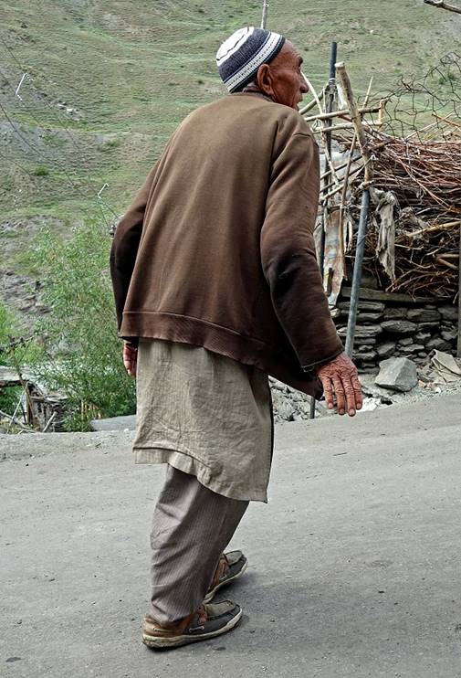
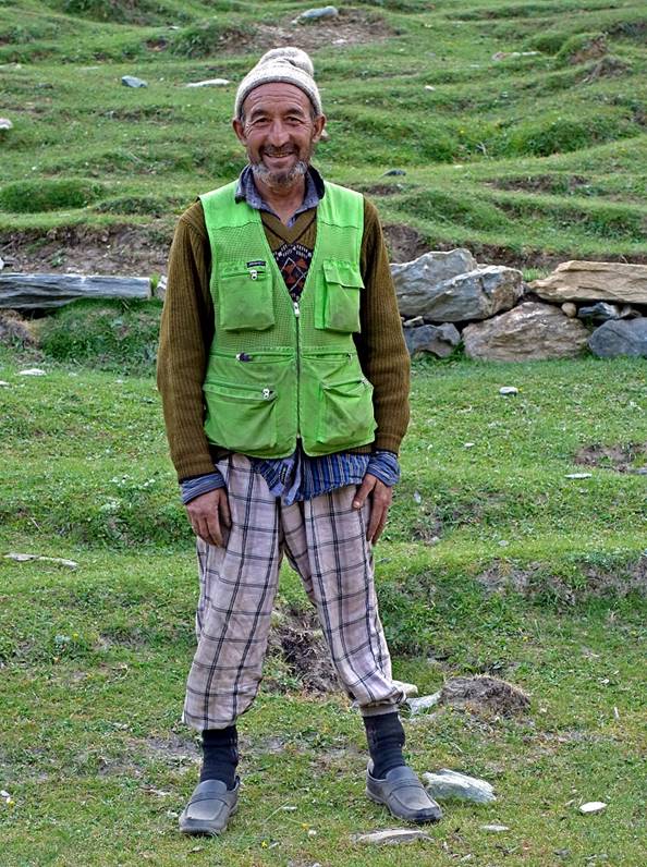
Man in Bartu.
|
|
|
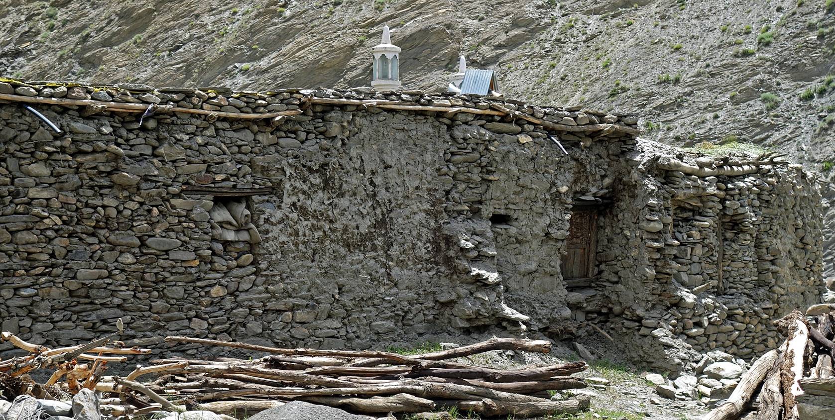
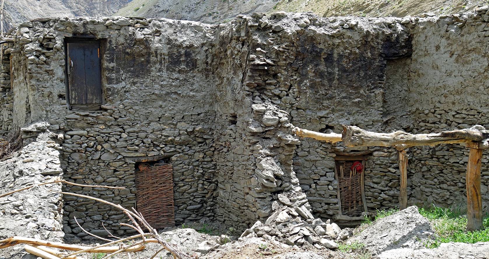
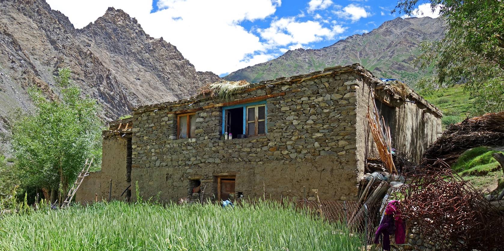
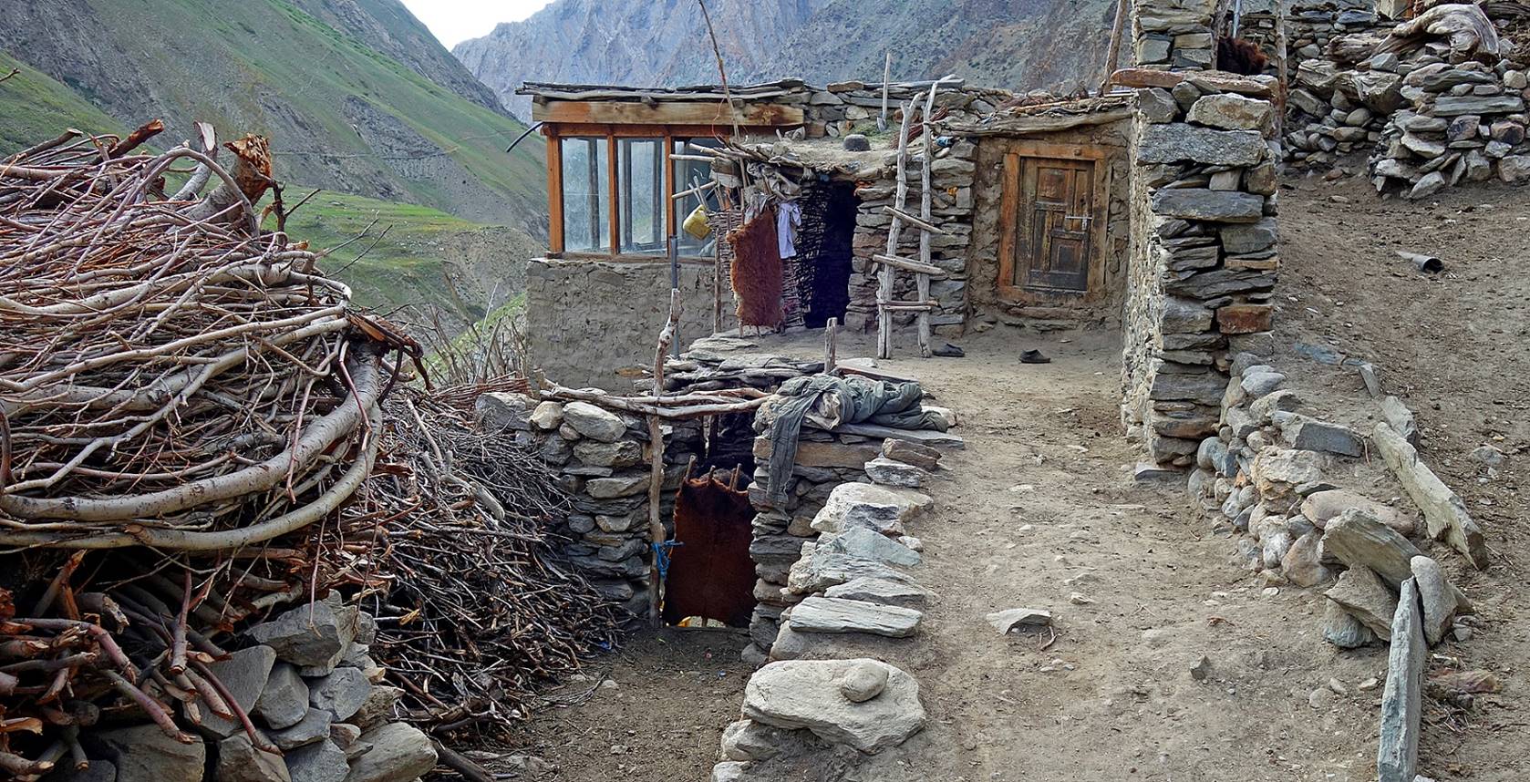
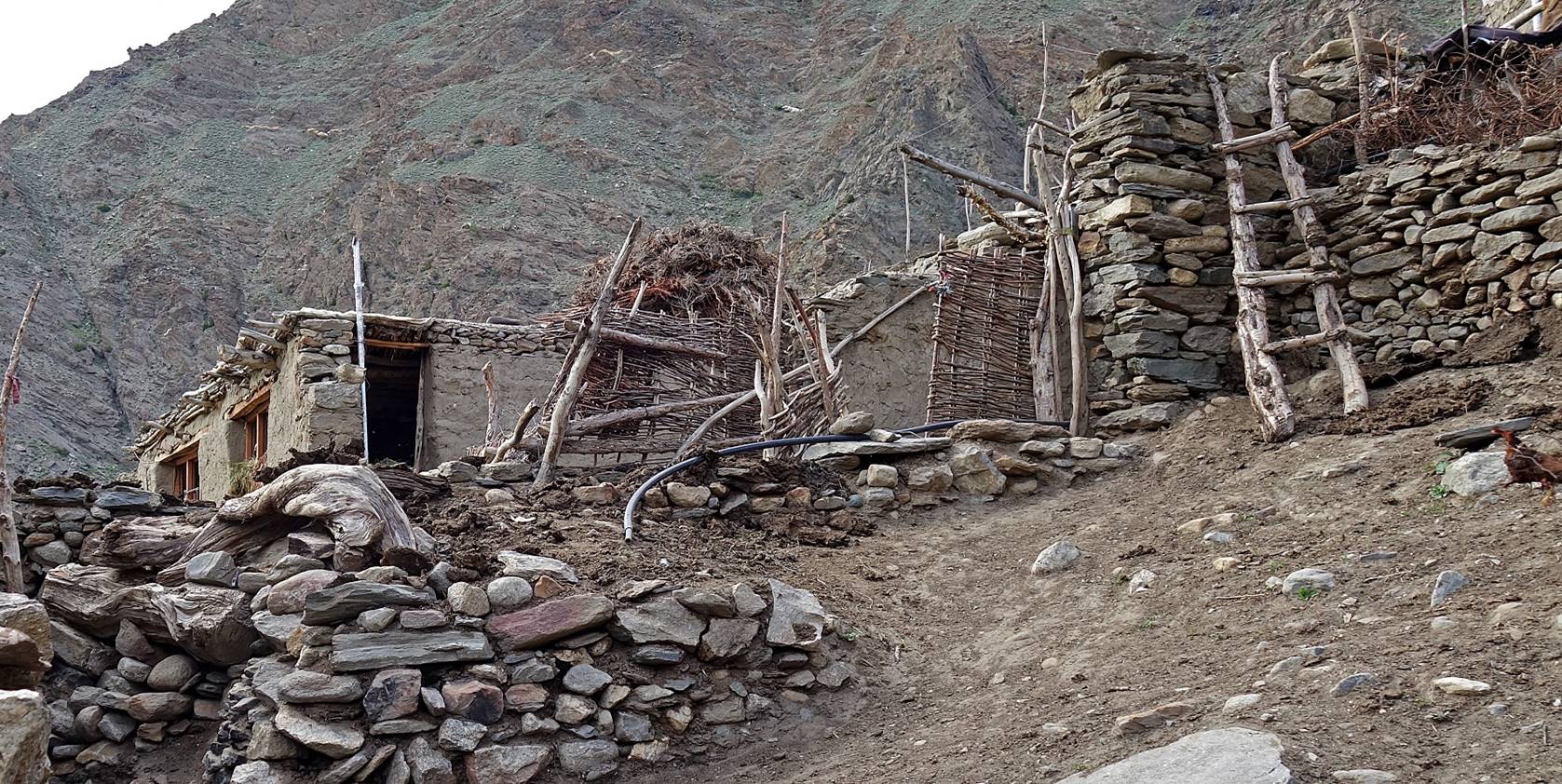
Old traditional houses in the Phulangma valley. Unfortunately most of these houses are in
ruins and will very soon be a thing of the past.
The road from Sankoo
along the Phulangma river
ends at this bridge. From here we followed a (good) foot path up to Itchu on the left bank of the river.
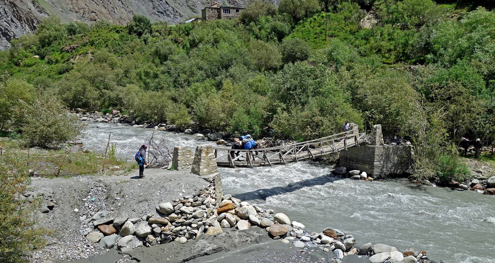
Houses in the hamlet next to the bridge
(Lingber?).
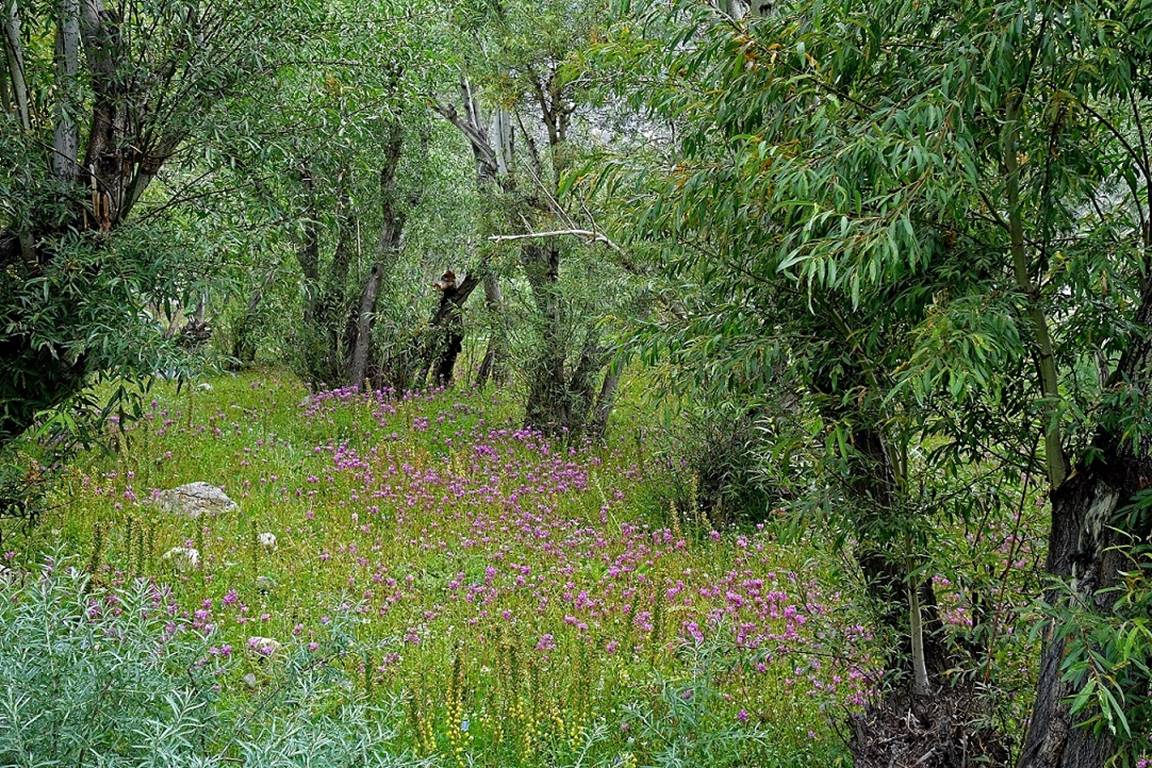
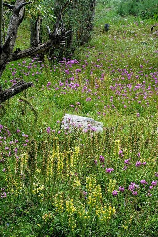
Pleasant meadows immediately after the
village.
|
|
|
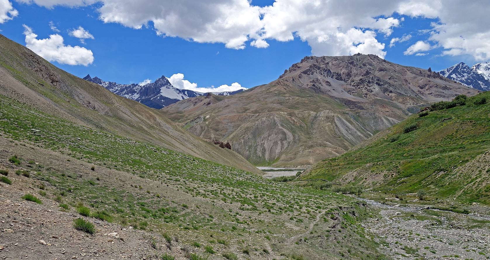
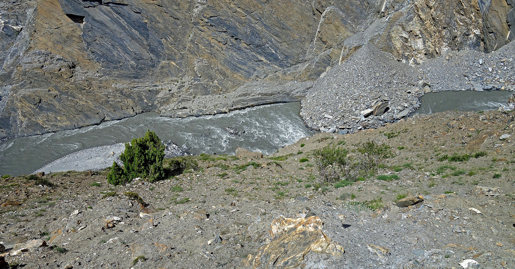
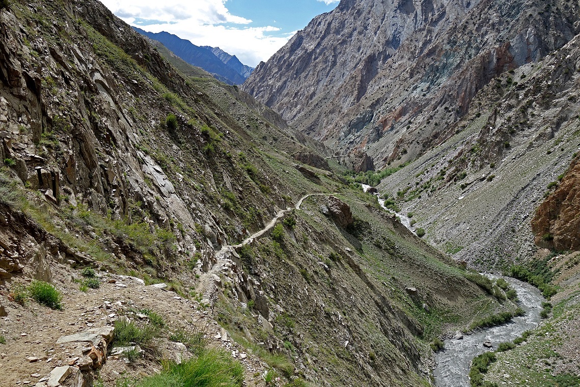
View of the Phulangma
river from the trail further up.
Views of the well-maintained trail.
|
|
|
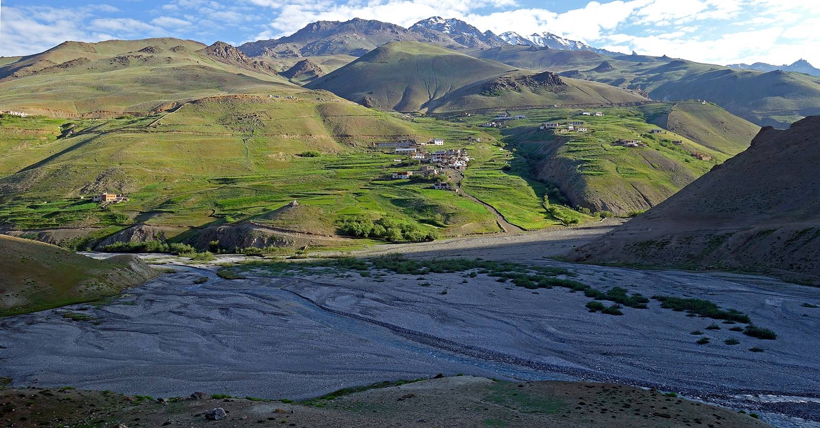
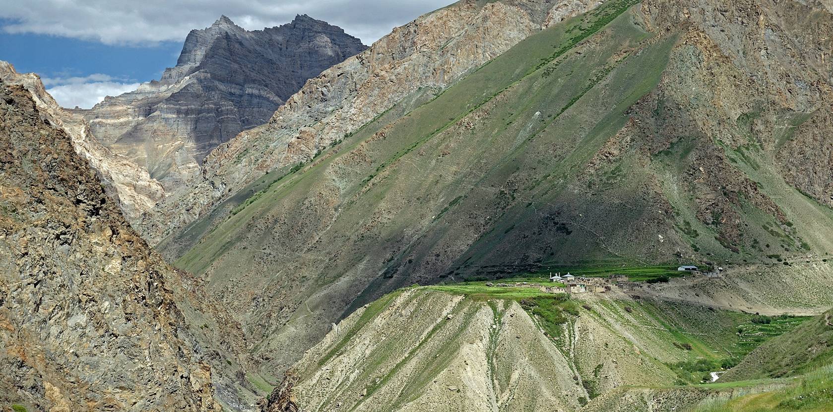
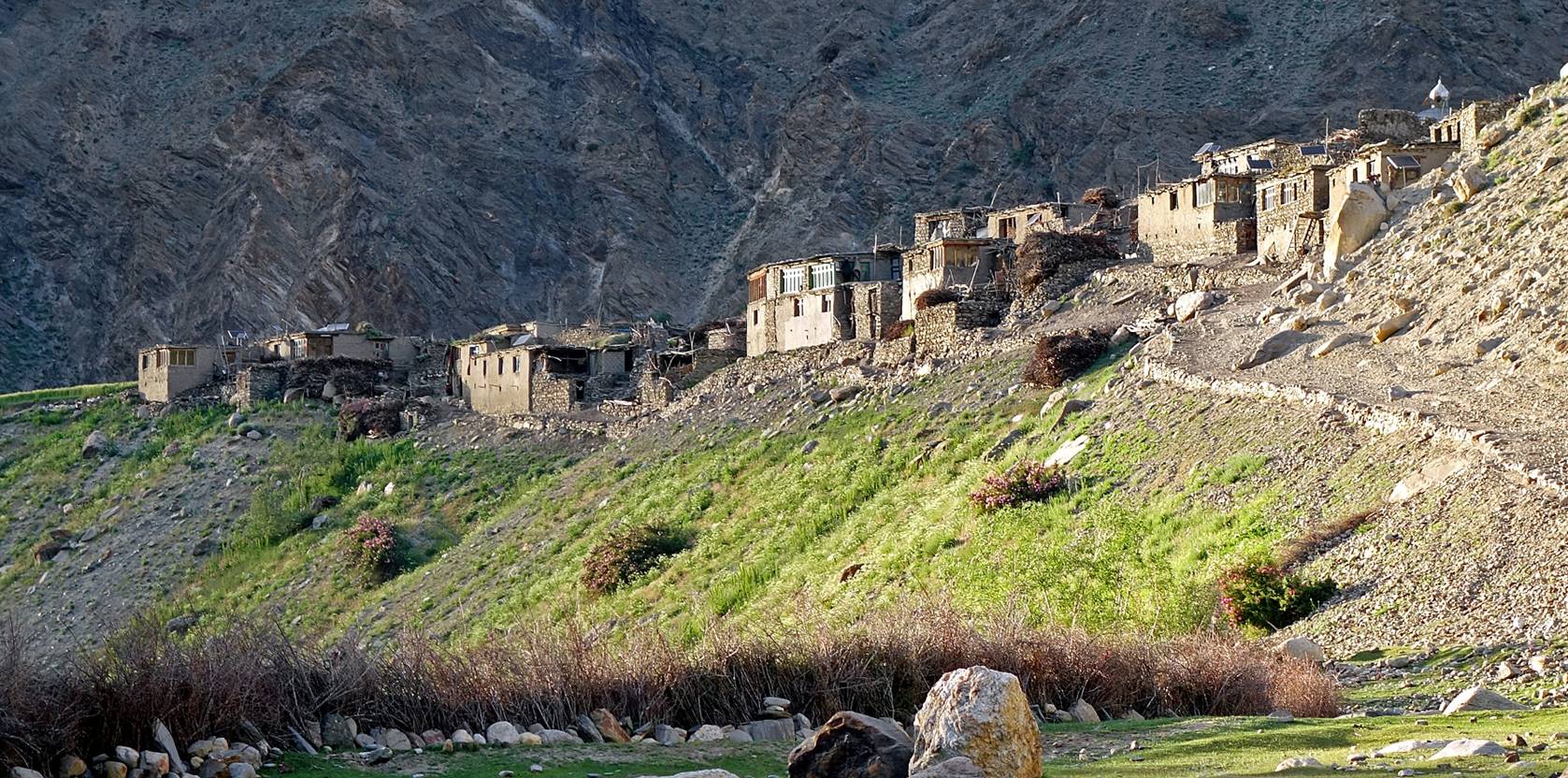
The amazing setting of the village of Itchu on a small platform at the confluence of two valleys.
The valley forward (on the left of the photo) heads toward Wakha
La, while the valley on the right leads toward another pass (Lasar La).
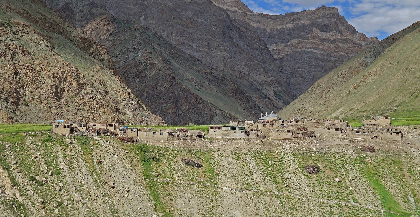
The village of Itchu
consists of 15 households with a total population of about 200 people. The main
resources are cattle and buckwheat (cultivated behind the village).
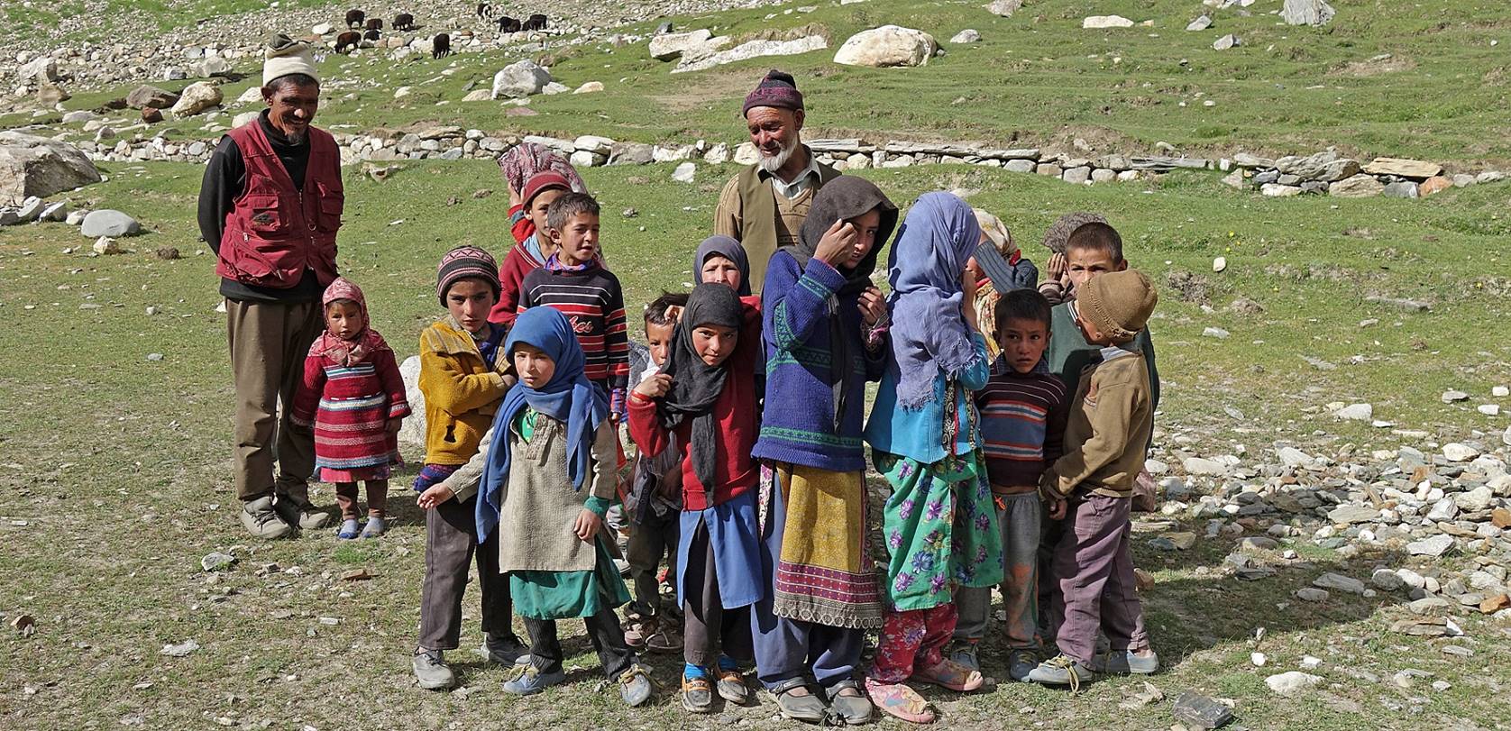
We set our camp near the village (WT
#029). Children quickly gather around it. Initially some girls were a bit shy
when I tried to take photos. But their shyness did not last very long and later
on, Nima took more photos of them.
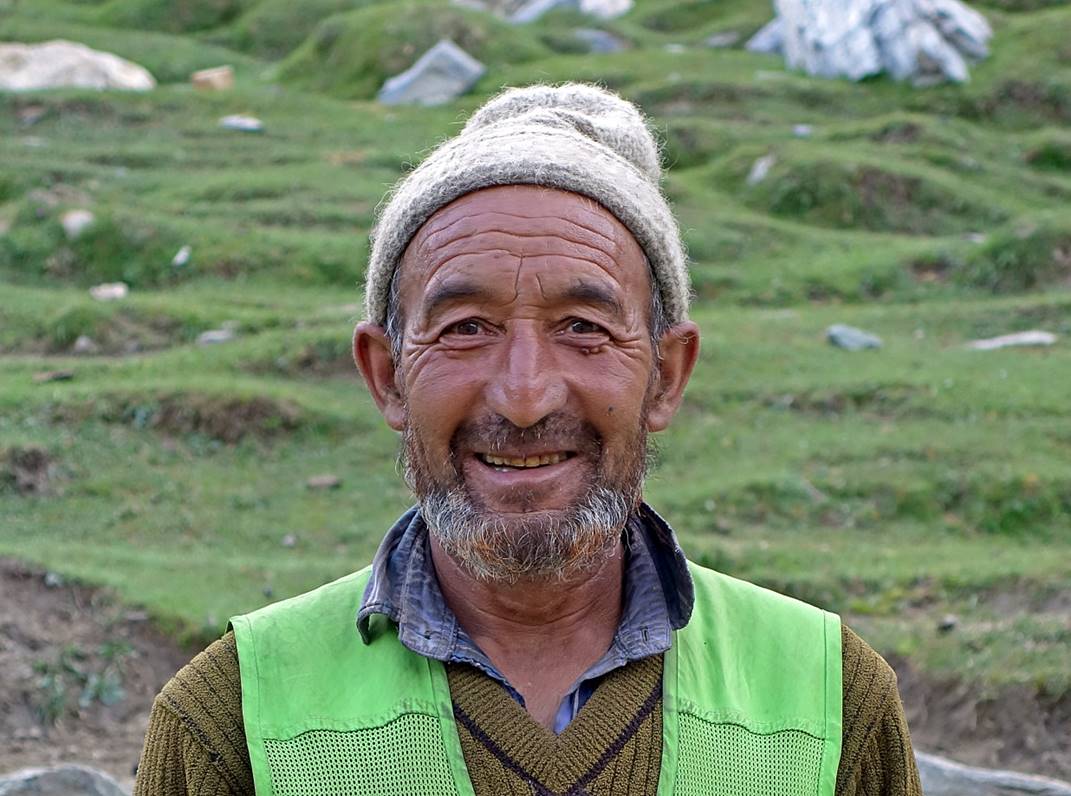
Man in the village.
|
|
|
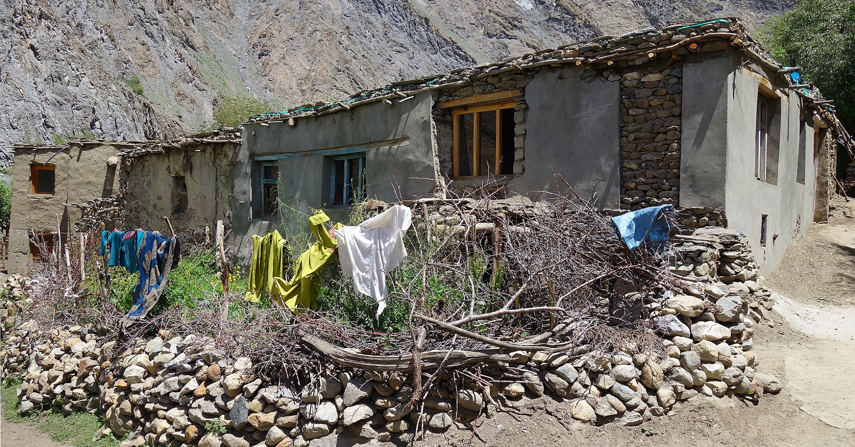
Houses in Itchu.
Itchu lit by the evening sun seen from our
camp.
So far, we had planned to cross Wakha La, southeast of Itchu, to
reach Rangdum. But villagers told us that the
crossing of Wakha La was impossible: too steep with
too much snow for our horses, with a too big river to ford on the other side of
the pass. They told us that even on a normal year (with less snow falling
during the winter season) this pass is more commonly crossed between September
and November. They suggested that we may have a better chance to cross another
pass, Lasar La, south of Itchu,
although no one had yet crossed it with animals this summer season. Lasar La leads to the same valley reaching Rangdum as Wakha La. So, we
decided that we would head up toward Lasar La,
instead of Wakha La.
![]()