India
(July-August 2019): A meandrous 24-day trek in the Kargil
and Kishtwar districts of Ladakh
and Jammu & Kashmir
Leg
1: From Mulbekh to Rangdum
(Part 3/3)
|
|
Return
to main India 2019 webpage
Views of the itinerary in Google
Earth:
[Reminder: Click here
(kmz file) and open the downloaded file in Google
Earth to access the GPS waypoints that I recorded during the trek: red pins for
starts and finishes, green for camps, brown for passes, and yellow for other
waypoints. Orange markers have been added by hand; they are not GPS waypoints.]
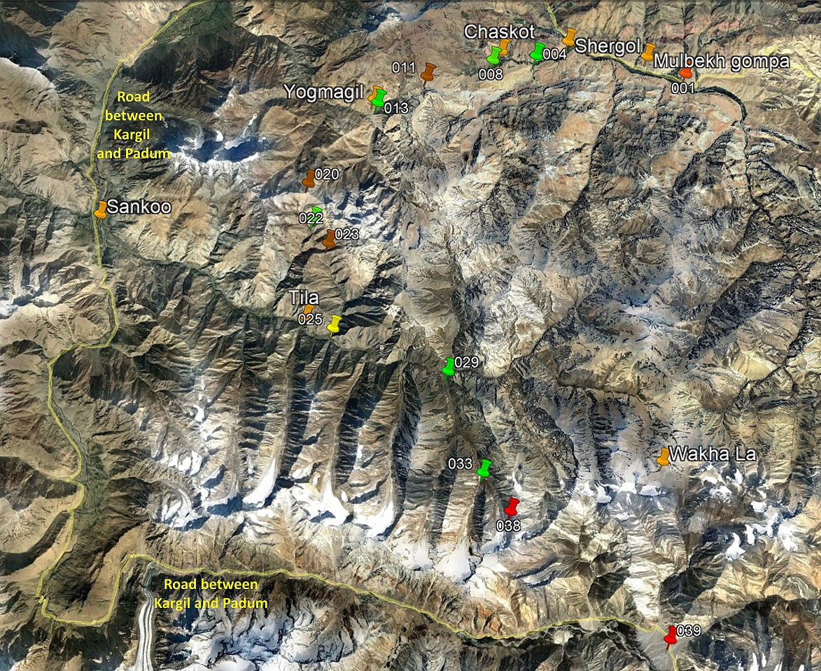
View of the entire first leg, with only
a subset of GPS waypoints.
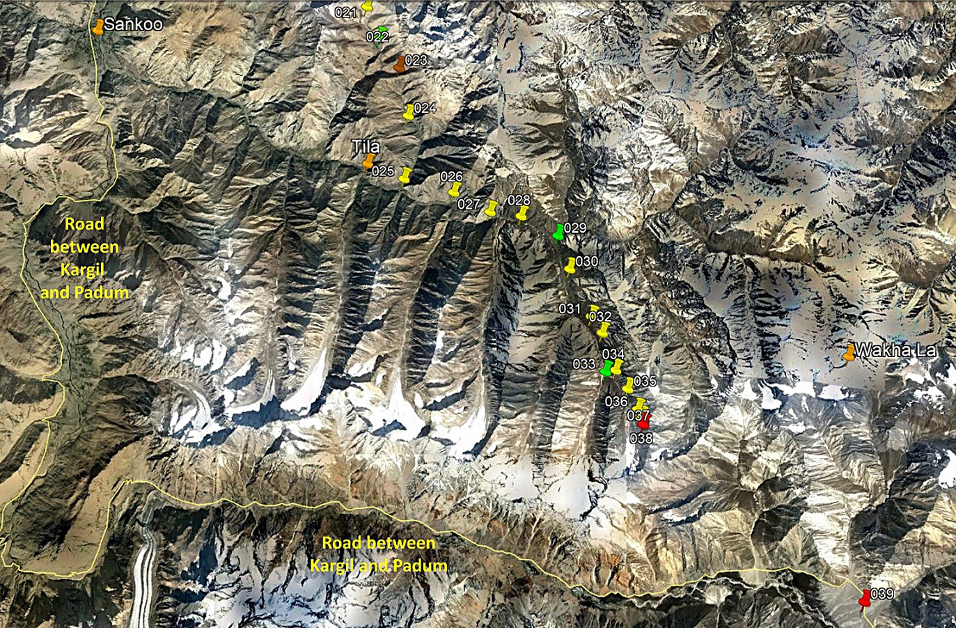
View of the third part of the first leg,
with all the waypoints.
Brief description:
We left Itchu
toward the south. We followed a valley that had a couple of bifurcations. At
the first bifurcation, it was clear that we should take the left (east) branch
to reach Lasar La. But at the second bifurcation, the
choice was not obvious. Since we had no map of the area (as both the valley and
the pass lie outside the coverage of the 150K Olizane
maps), we had to do some exploration. I went into the right branch, while Nima and Dorje Tundup went in the left one. Nurbo
remained at the bifurcation with the horses. Unfortunately, I concluded that
the right branch of the valley was a dead-end, while Nima
and Dorje Tundup reached
the same conclusion for the left branch. We set a camp near the bifurcation (WP
#033). After an early dinner Nurbo returned to Itchu to recruit a local guide from the village. He
returned early on the next morning with two villagers, who guided us into the
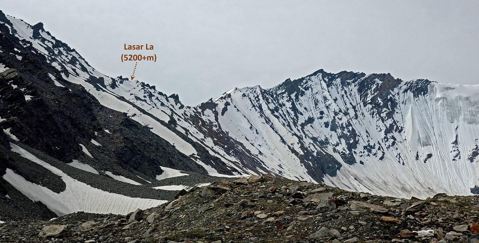
left branch of the valley toward Lasar La. Lasar La was not an obvious pass, just one breach in a
mountain range, among many others. It turned out that it was not possible for
our horses to cross it (too steep, too much snow). Regretfully we turned back,
and returned to Itchu where we spent a second night
(WP #029). On the next day we returned to the road in the Phulangma
valley, where we found vehicles to drive us to Rangdum
(WP #039) on time for the second leg of the trek.
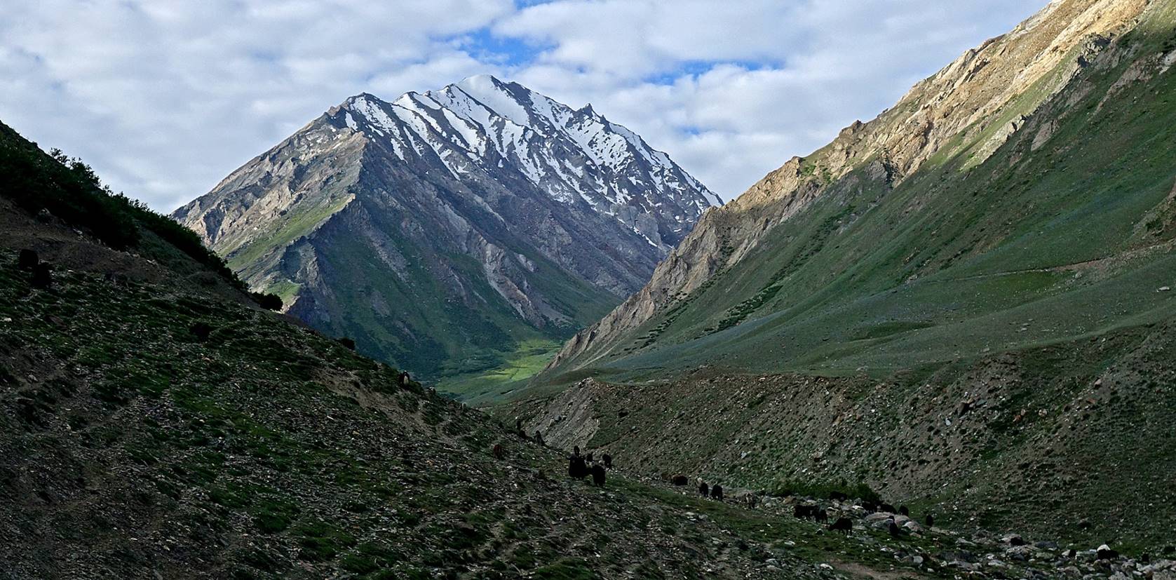
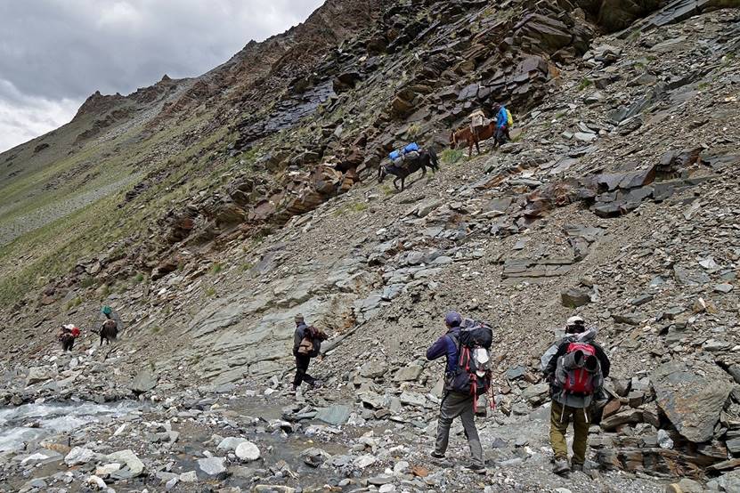
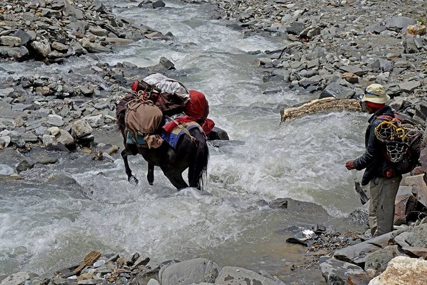
Day 6 (of
trek): From Itchu (WP #029) to camp at WP #033.
Reaching the
first bifurcation.
In the left branch of the valley after
the first bifurcation.
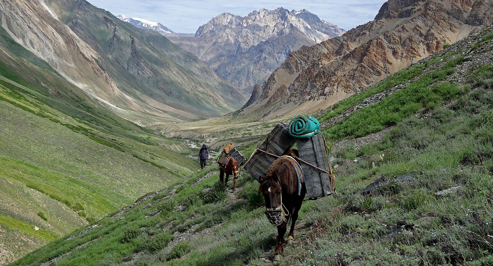
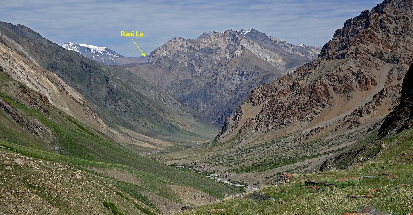
Further up Rasi
La became visible in the background.
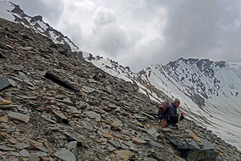
Reaching the second bifurcation.
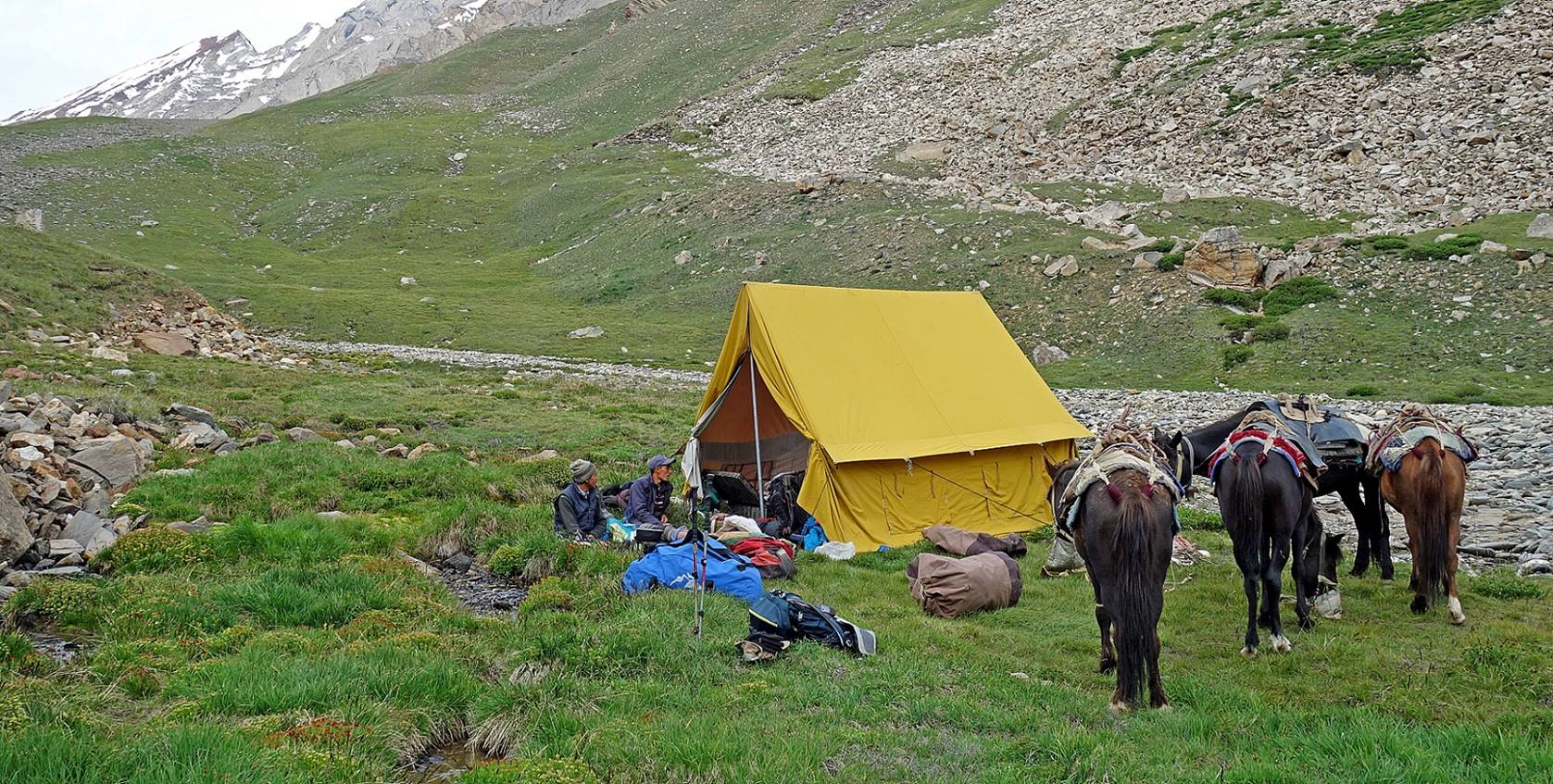
Our camp (WP #033) at the second
bifurcation. (The photo was taken on the next morning, showing the two
villagers brought back by Nurbo sitting outside the
tent.)
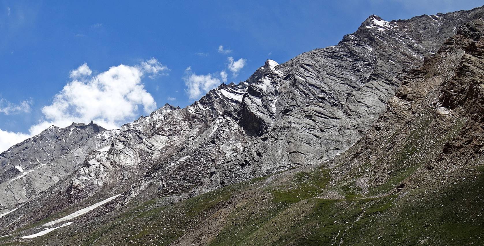
Reflection of sunlight on slate-rock
cliffs above the camp.
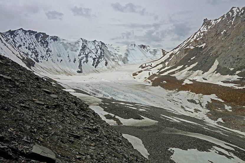
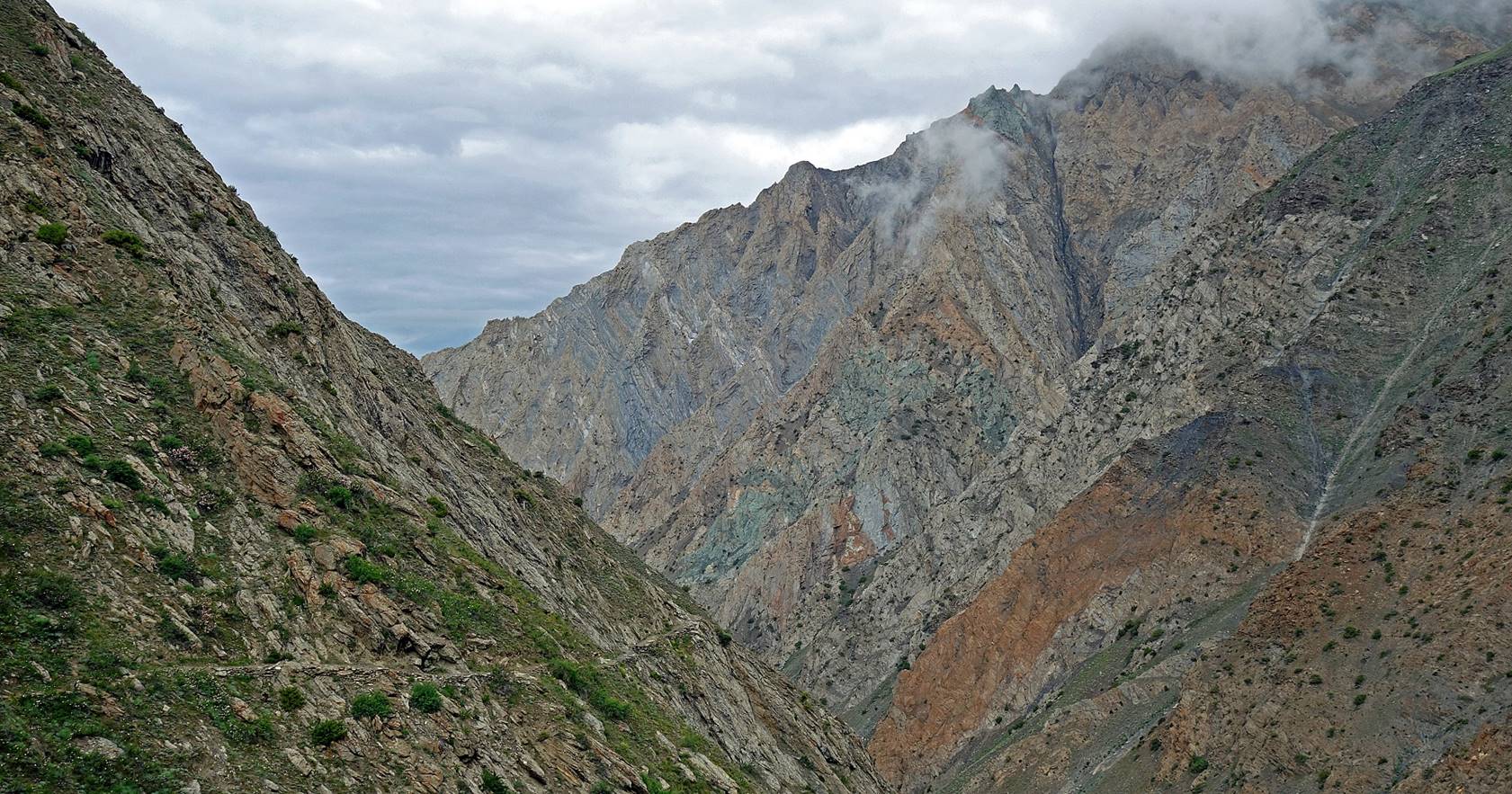
Day 7:
Attempt to cross Lasar La and return to Itchu
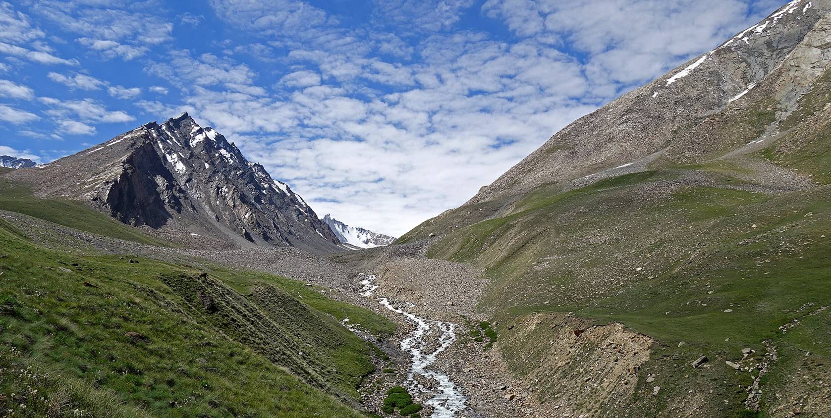
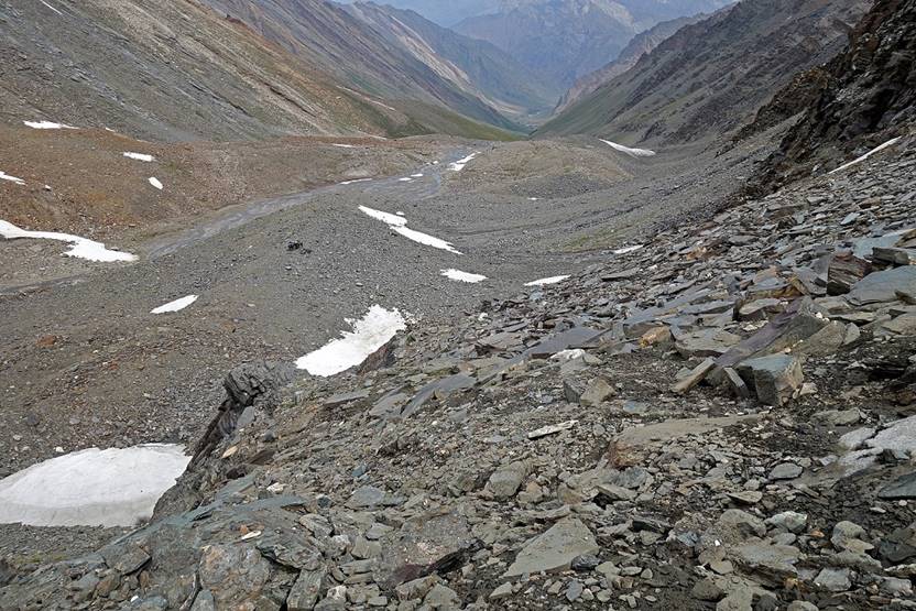
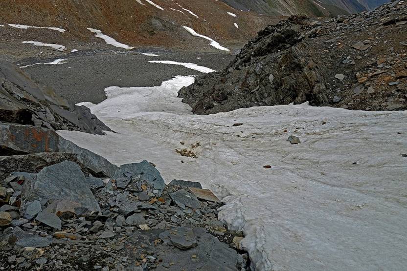
We quickly
reached the moraine and the glacier in the left branch of the valley above our
camp.
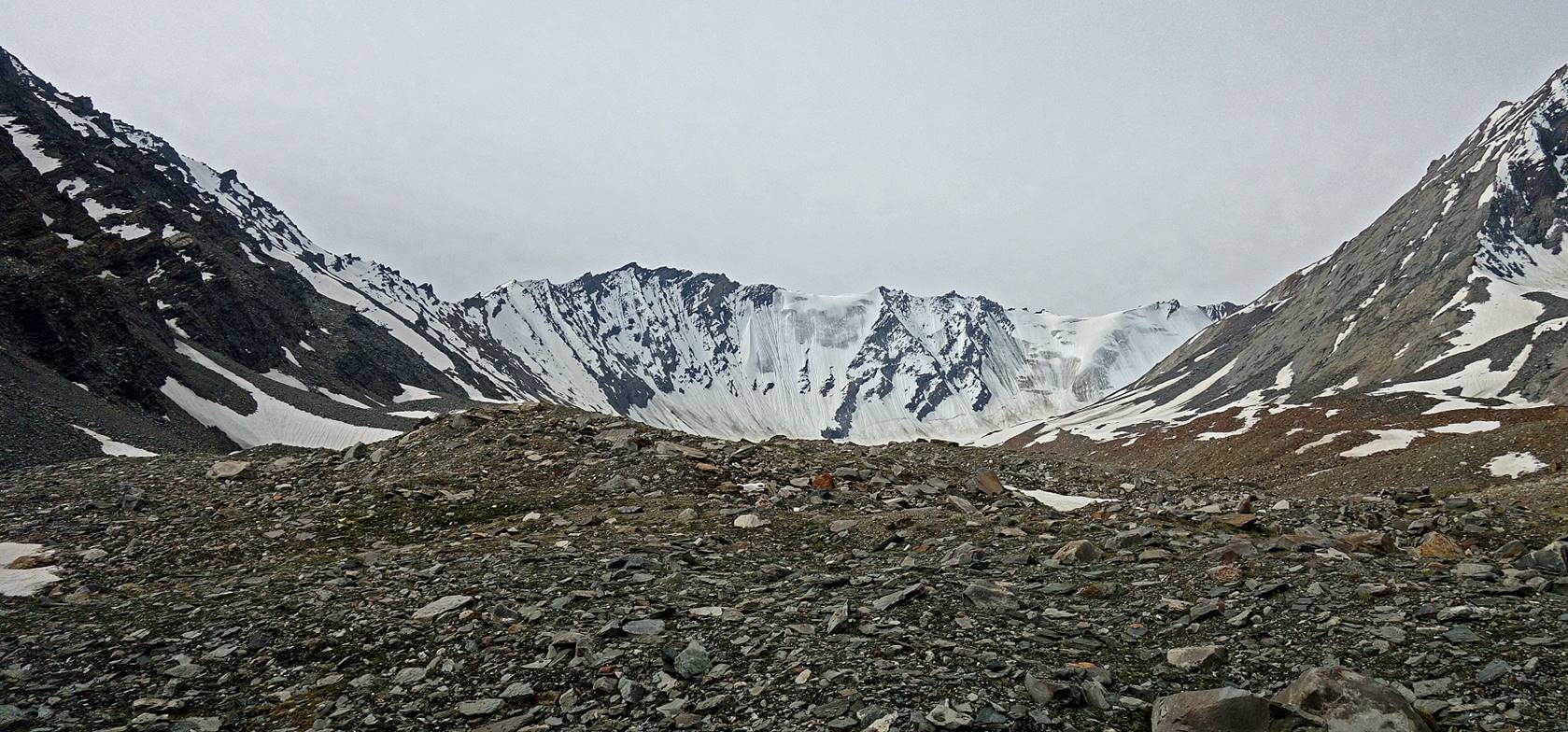
The valley was entirely surrounded by
steep slopes. Lasar La was not an obvious pass.
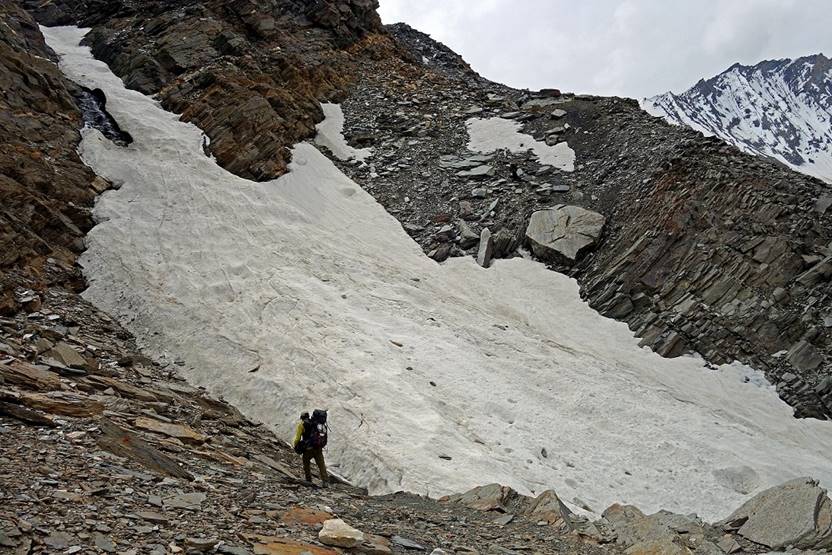
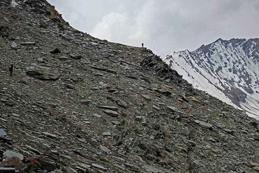
Nurbo and the horses stayed on the glacier
(first photo on the left below), while Dorje Tundup and one villager were looking for a feasible path
for the horses. Meanwhile, Nima and I climbed toward
the pass with the other villager, hoping that the horses will eventually catch
up. But at some point it was clear that they will not make it. Nima and I turned back at WP #038 (elevation given by my
GPS: 5185m). We were quite close to the pass and it was clear that with
porters, instead of horses, we would have made it. Turning back was a great
disappointment, the main one in the entire trek.
|
|
|
|
|
|
|
|
|
On our way back to Itchu
where we spent the night.
|
|
|
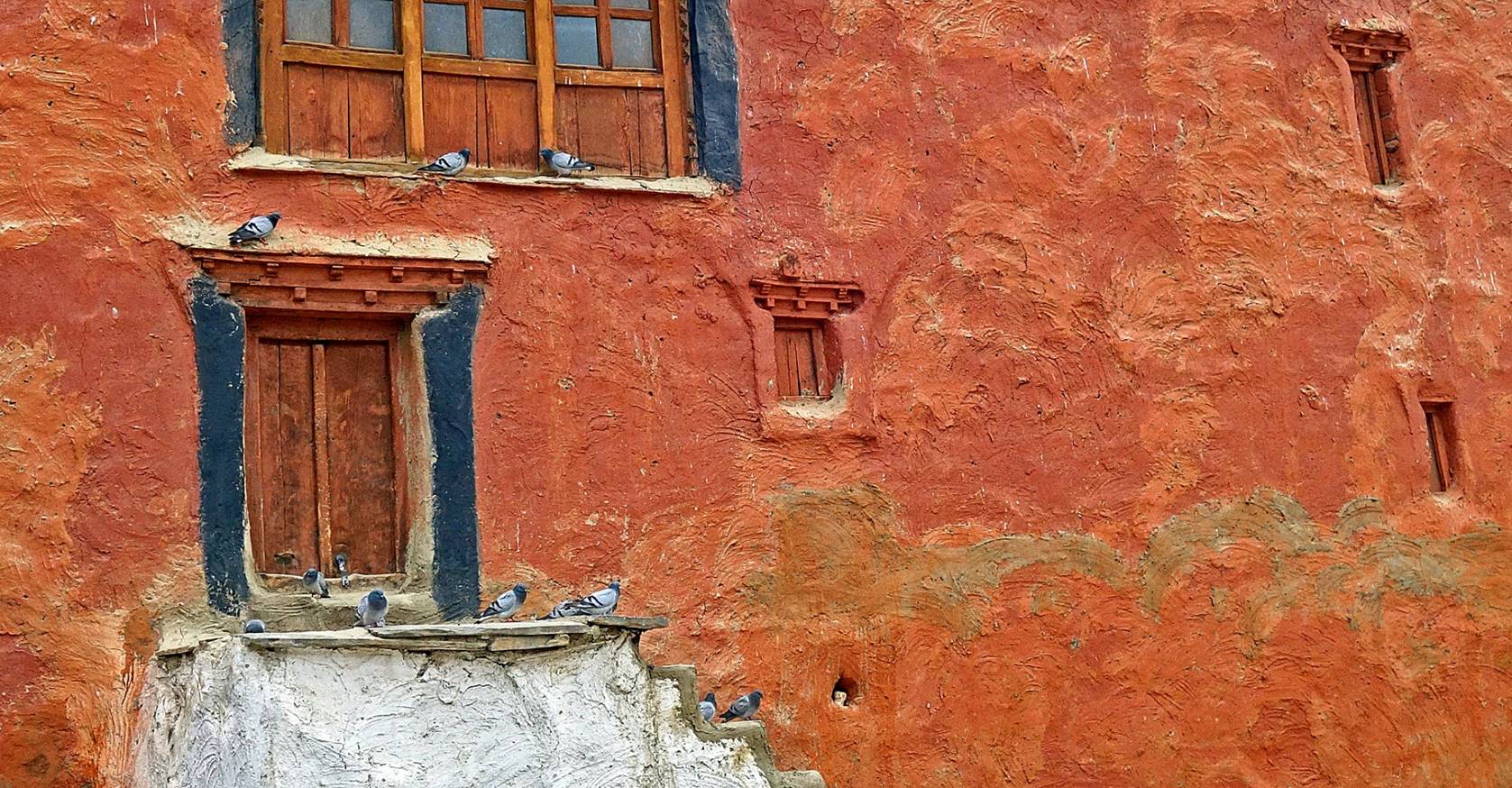
Itchu in the mist.
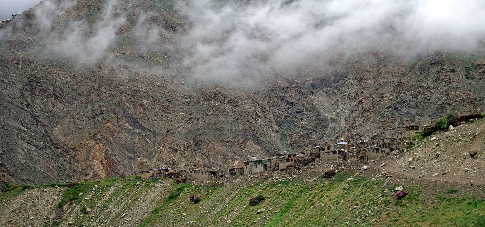
Day 8: From Itchu to Rangdum, via Sankoo
We traced back our path from Itchu to the road in the Phulangma
valley.
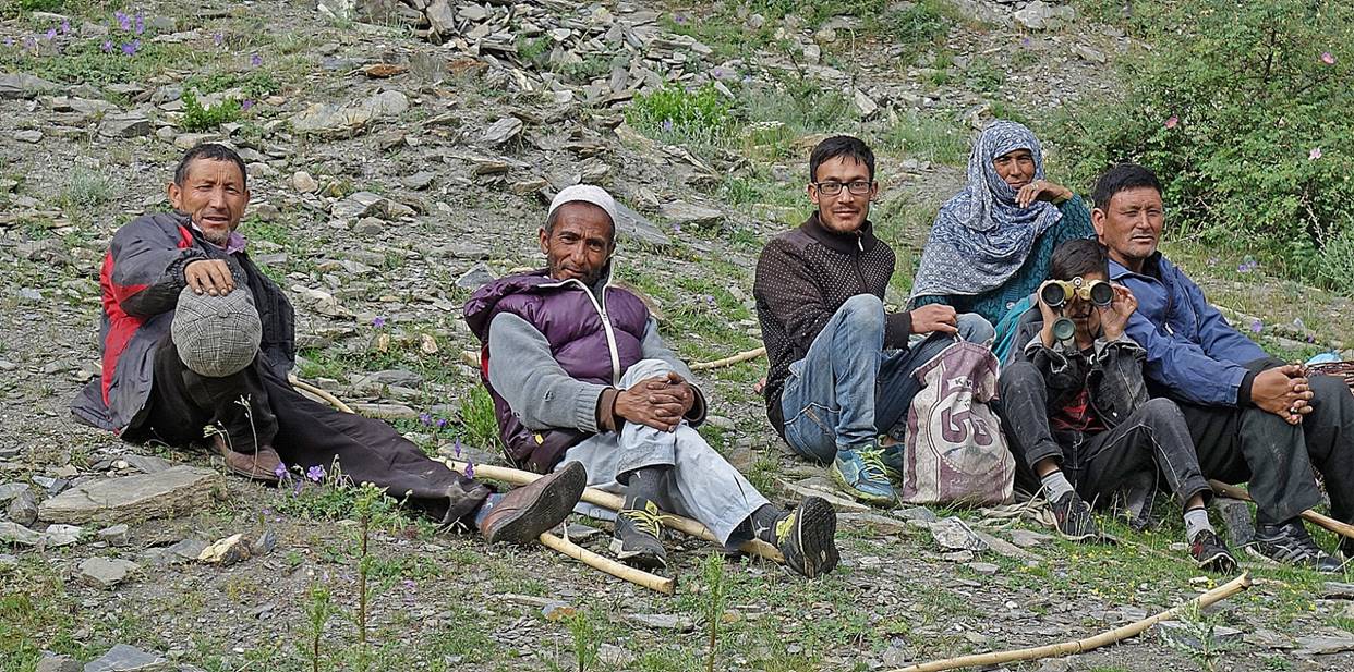
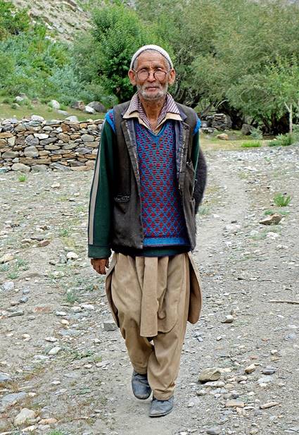
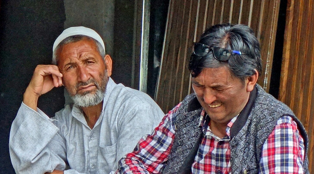
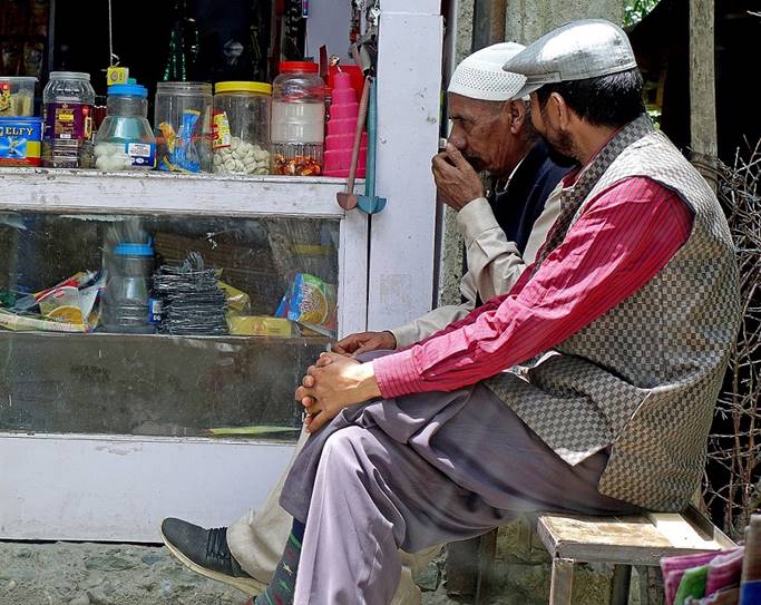
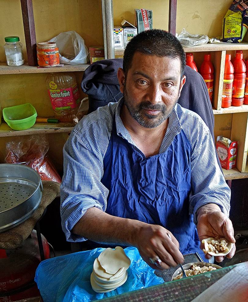
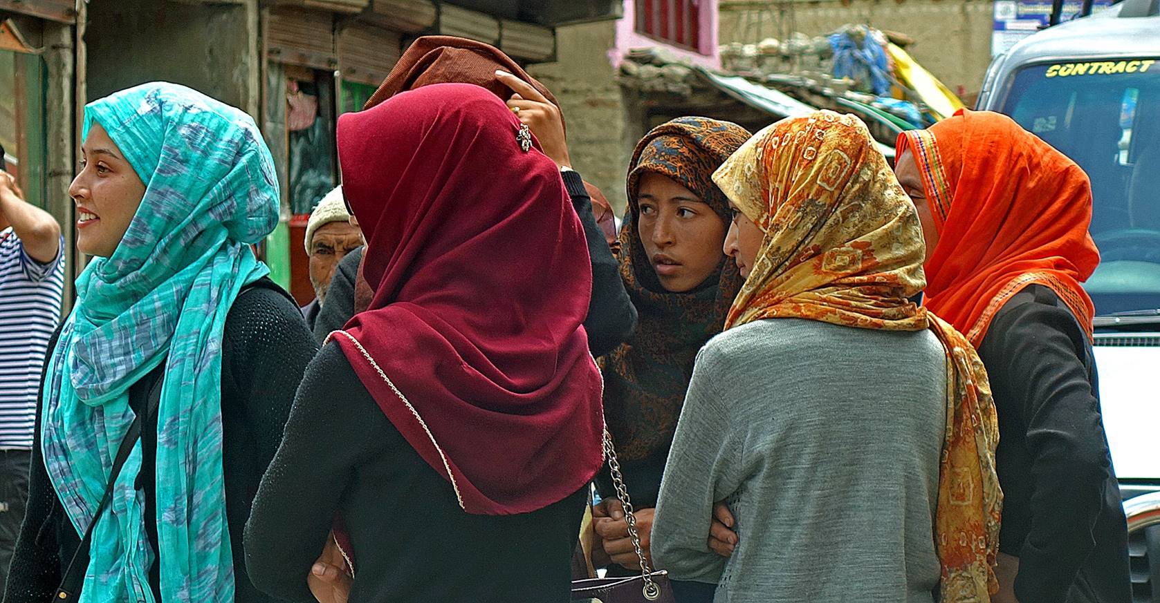
Along the way we met Itchu
people, some of whom were returning from shopping in Kargil.
|
|
|
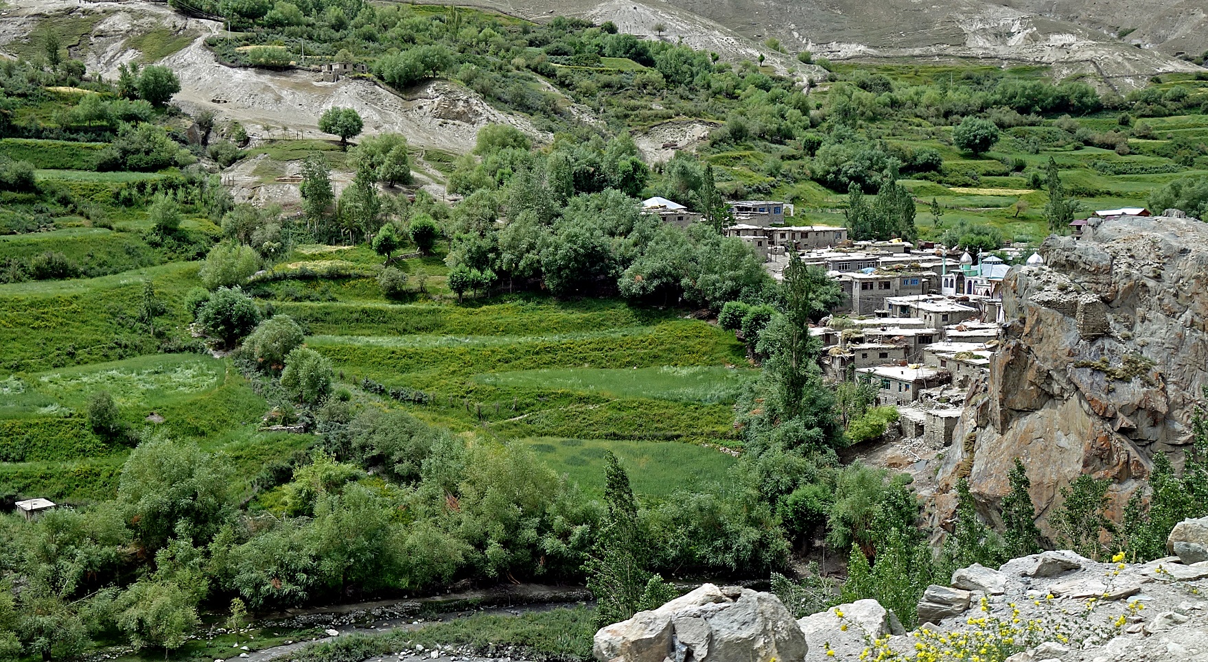
We found a vehicle in the village of Tila (shown in the photo below) to go to Sankoo, a town on the Kargil-to-Padum road at the intersection of the Suru
and the Phulangma valleys. But the logistics was a
bit complicated, as this vehicle was too small to carry the horses. To stay on
schedule, we had to reach Rangdum (WP #039) on that
same day and begin the second leg of the trek on the next day. So, Nima, Nurbo, and I went to Sankoo, leaving Dorje Tundup and his horses in Tila. In
Sankoo, Nima found a truck
equipped to carry horses and returned to Tila with
the truck to pick up Dorje Tundup
and the horses. They drove to Rangdum that they
reached late at night. Earlier Nurbo and I went from Sankoo to Rangdum in the smaller
vehicle.
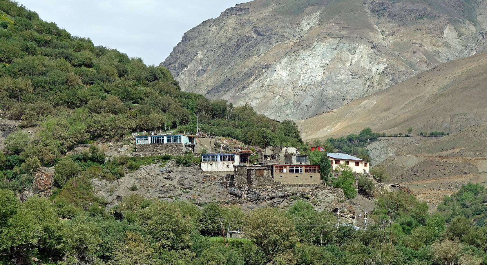
Pretty village between Tila and Sankoo.
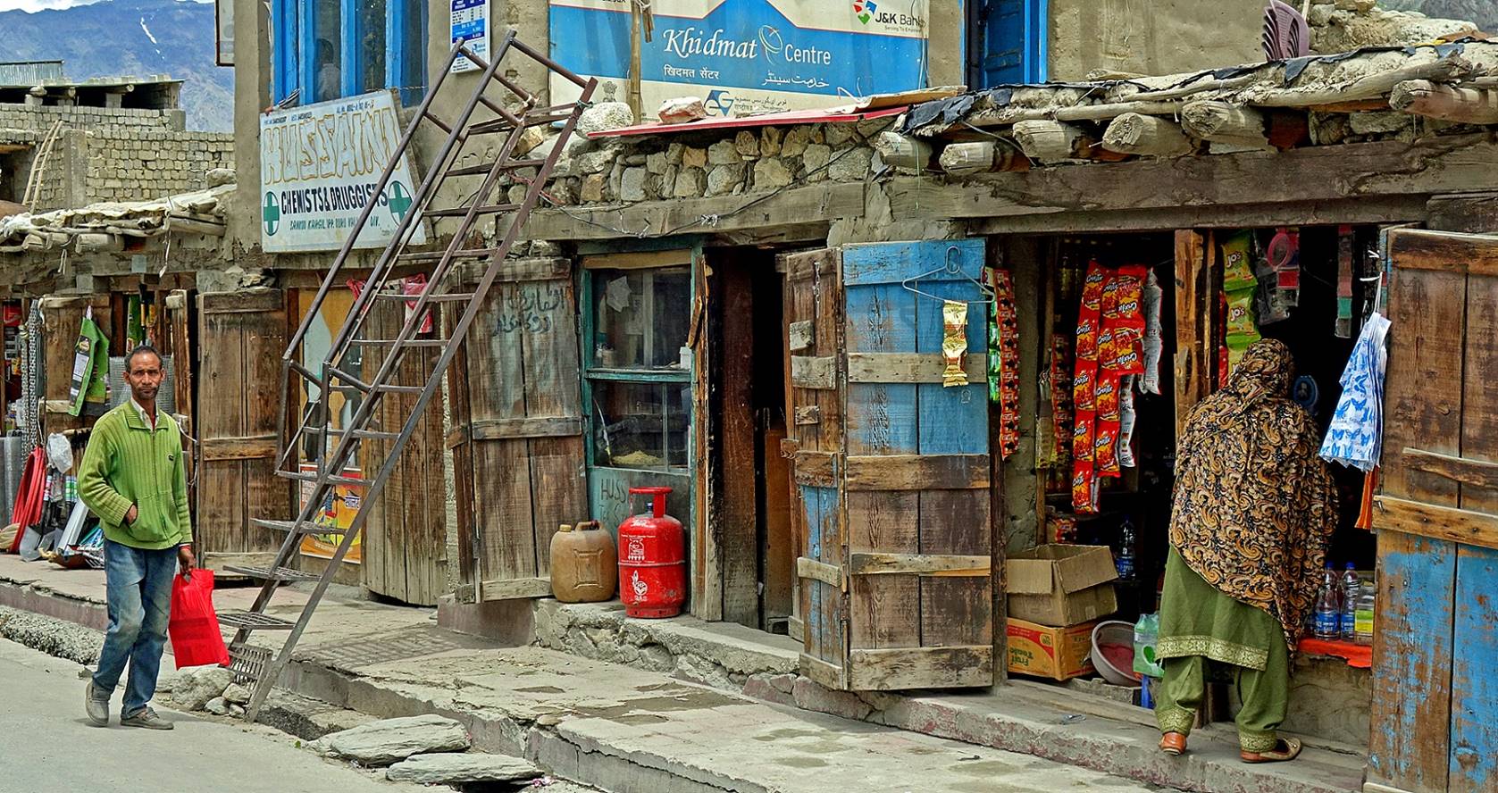
In the streets of Sankoo.
|
|
|
|
|
|

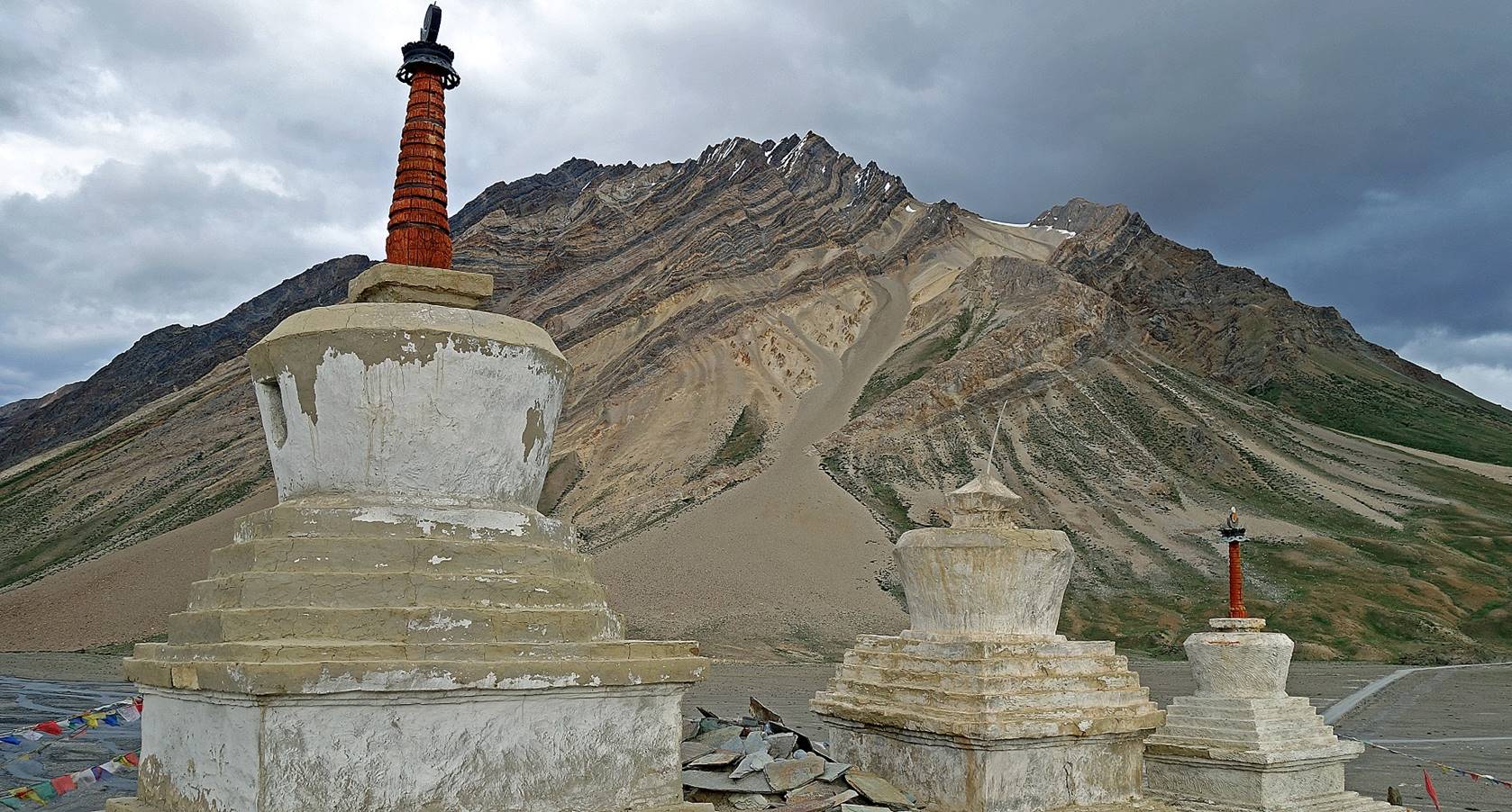
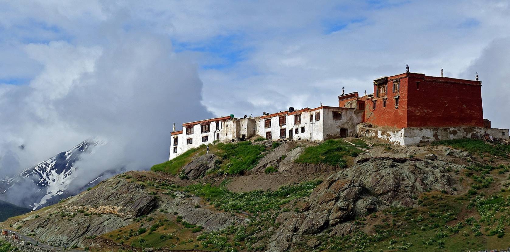
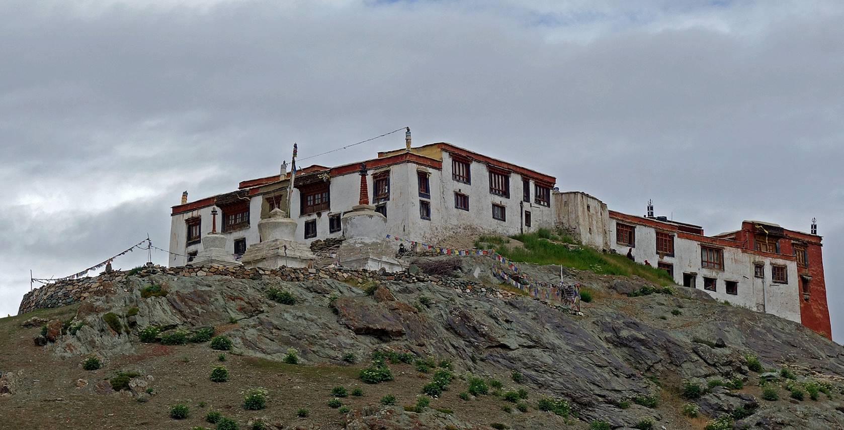
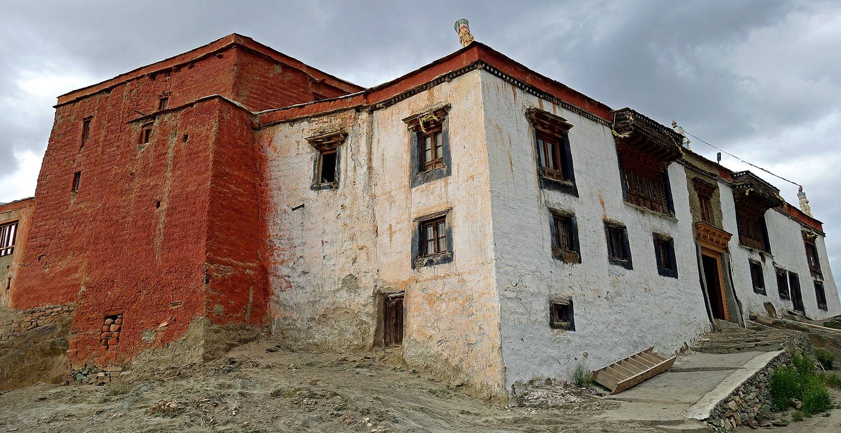
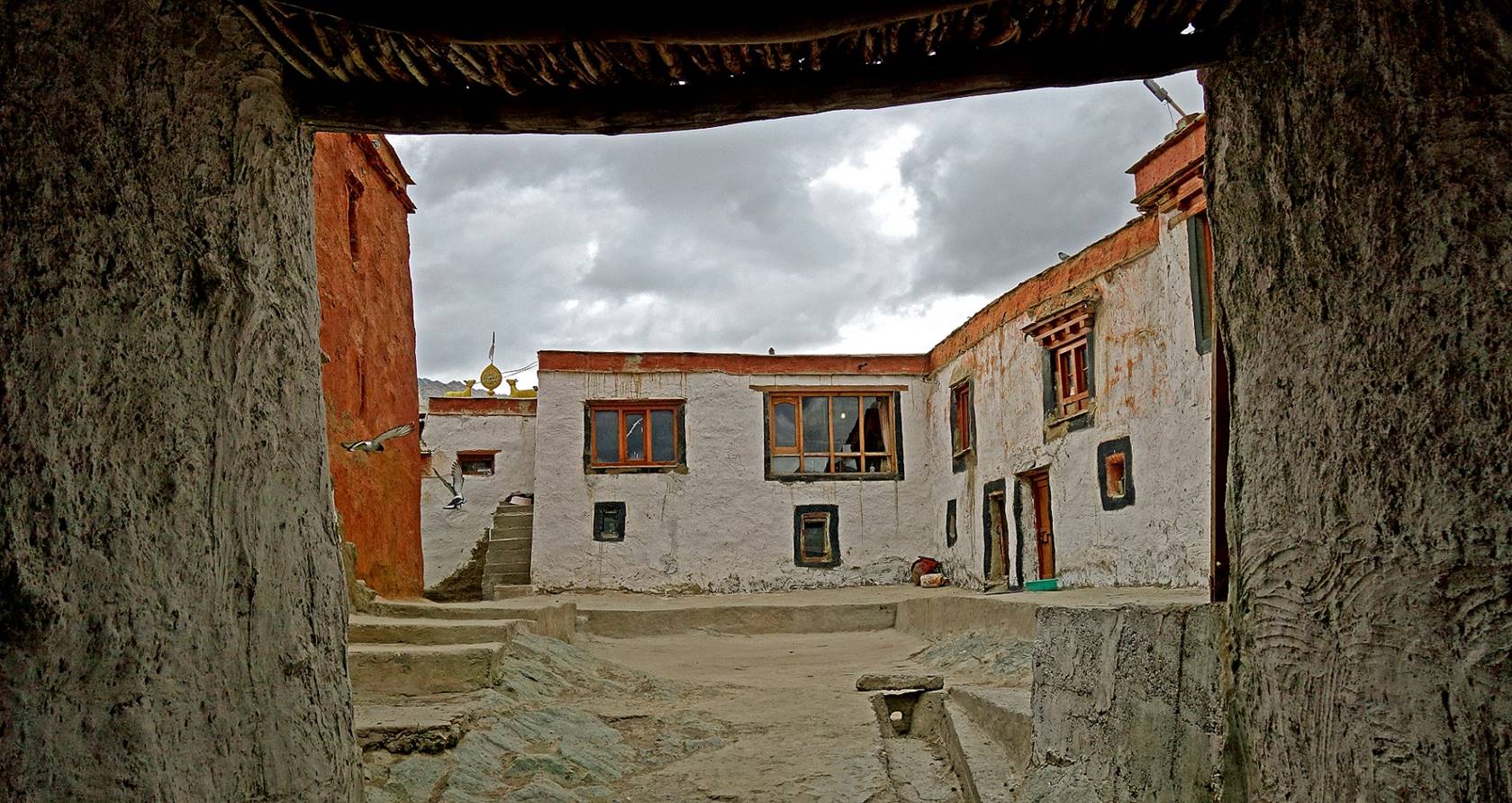
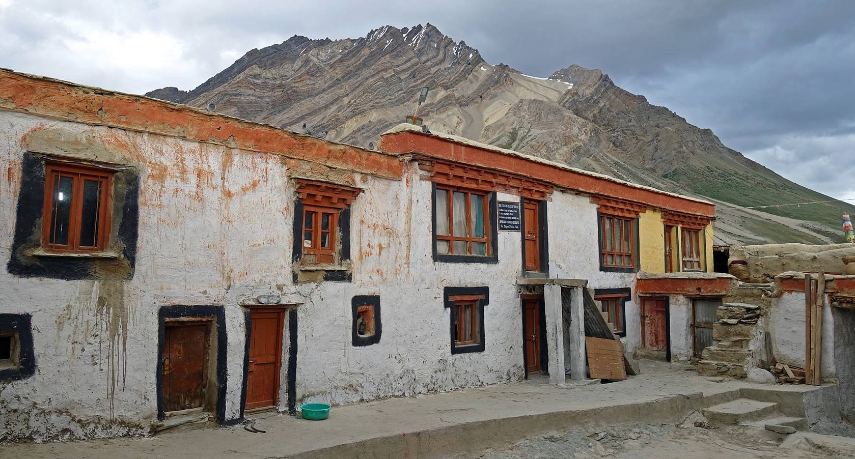
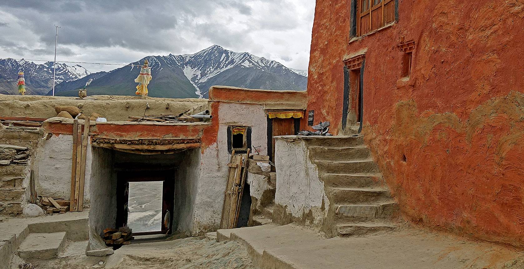
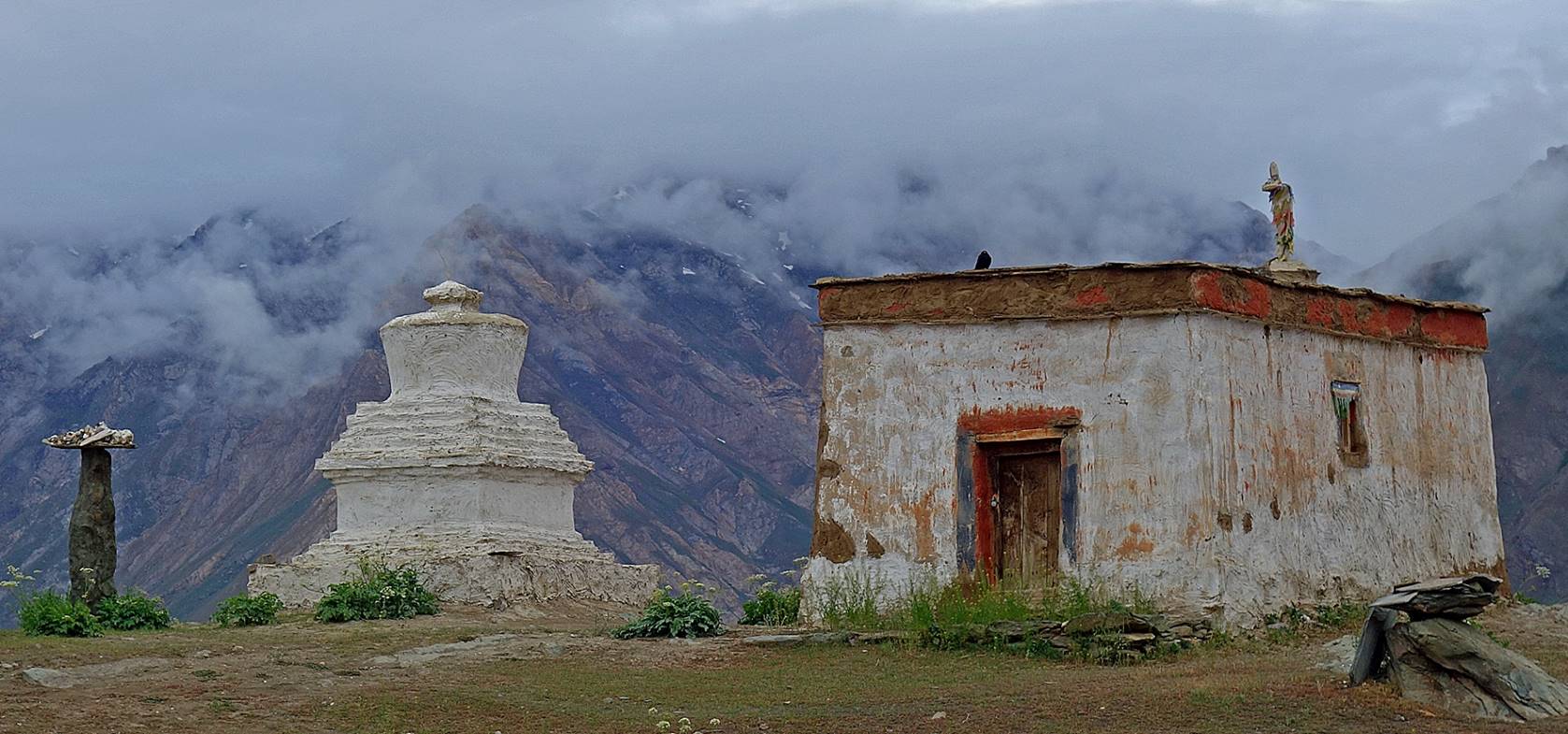
At Rangdum gompa, which Nurbo and I reached
in the late afternoon and where set our camp for the night (WP #039).
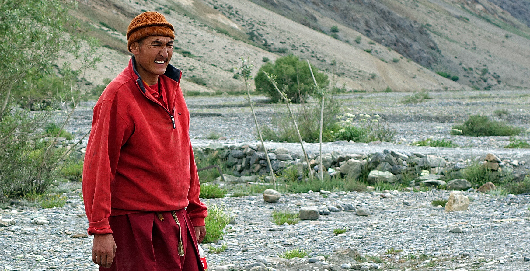
Monk of the gompa.
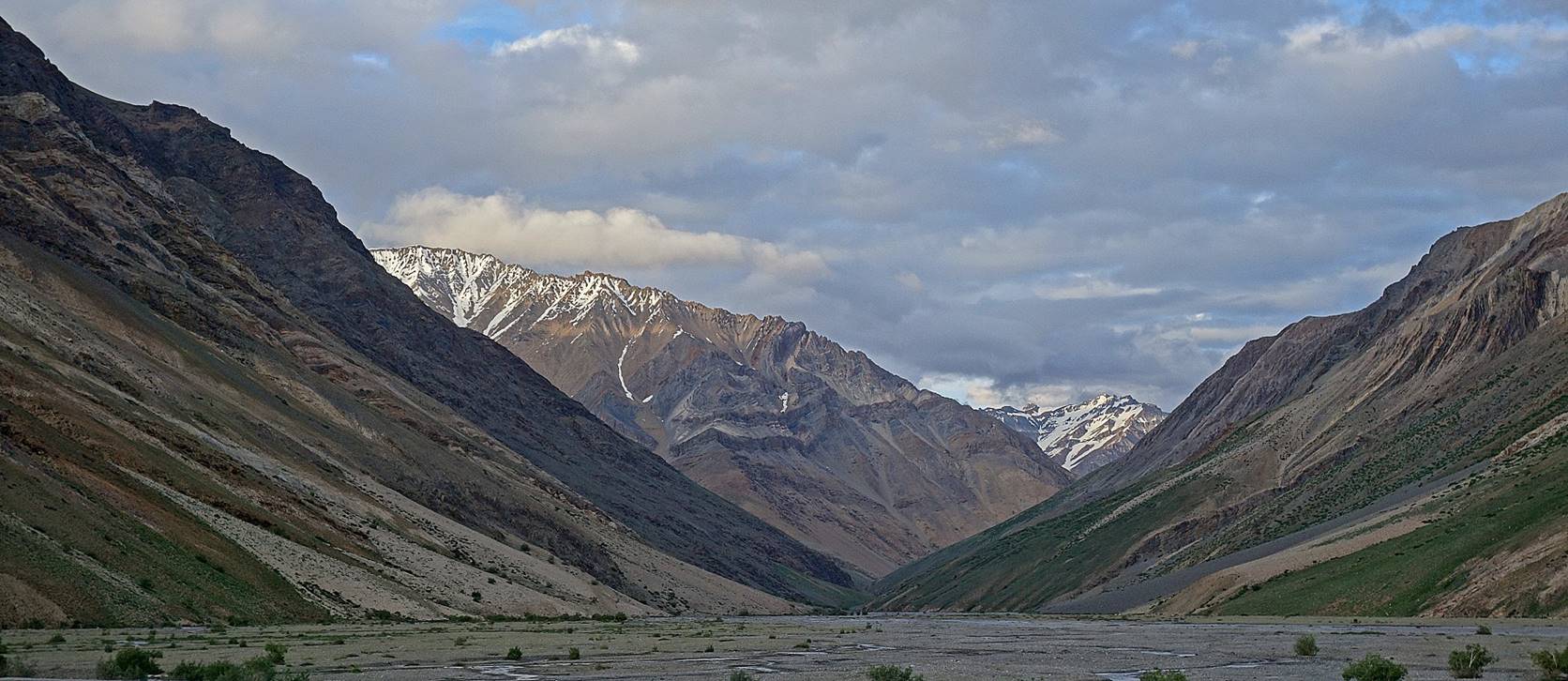
View of the valley of the Wakha-La Togpo (river) where, had
we crossed Wakha La or Lasar
La, we would have reached Rangdum.
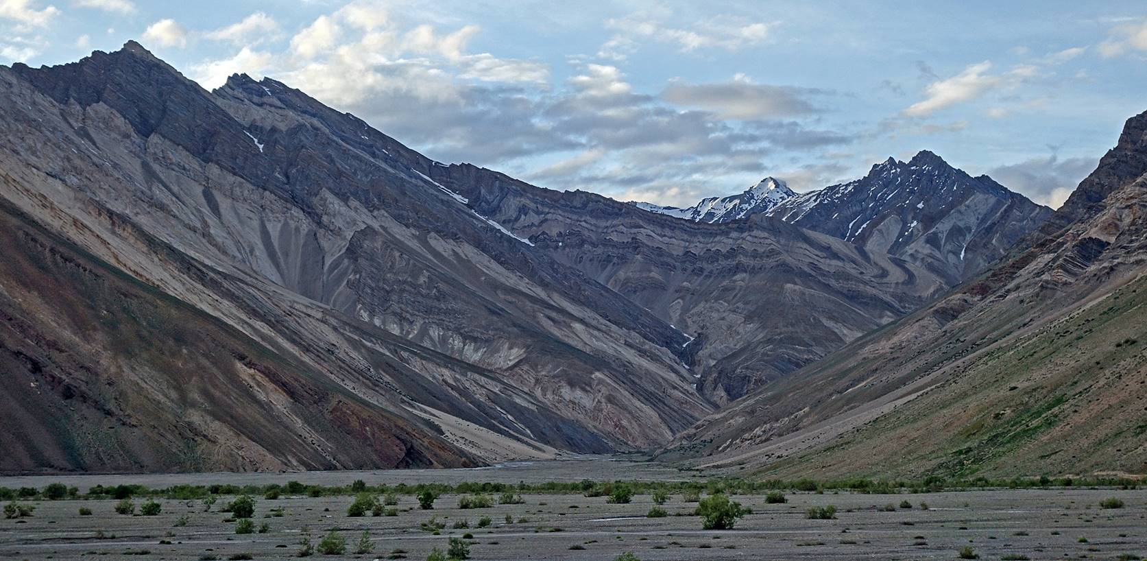
View of the valley of the Kanji-La Togpo that we will follow tomorrow (beginning of the second
leg).
Tundup Chospel, who
had been prevented from joining the trek in Mulbekh
due to a last-minute personal issue, was waiting for me in Rangdum.
He had arrived with a car carrying fresh food supplies sent by Sonam Dawa. He then became
my guide for the rest of the trek, as initially planned, replacing Nima (who returned to Leh).
![]()