India
(July-August 2019): A meandrous 24-day trek in the Kargil
and Kishtwar districts of Ladakh
and Jammu & Kashmir
Leg
2: From Rangdum to Pishu
(Part 2/3)
|
|
Return
to main India 2019 webpage
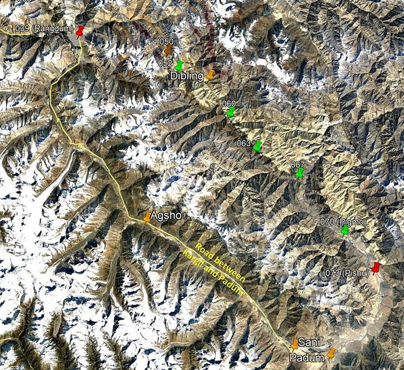
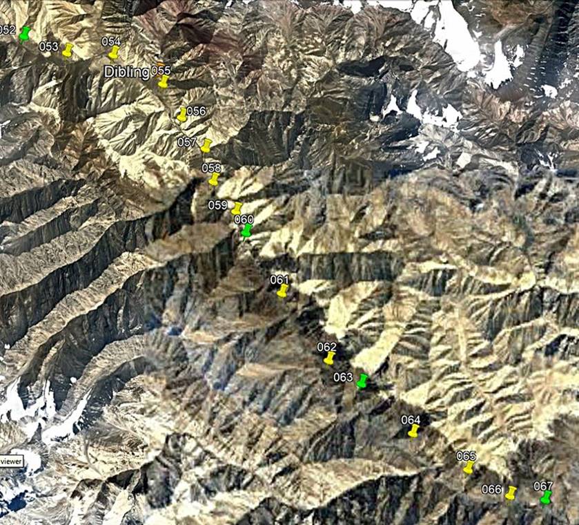
Views of the itinerary in Google
Earth:
[Reminder: Click here
(kmz file) and open the downloaded file in Google
Earth to access the GPS waypoints that I recorded during the trek: red pins for
starts and finishes, green for camps, brown for passes, and yellow for other
waypoints. Orange markers have been added by hand; they are not GPS waypoints.]
Left: View of the entire second leg,
with only a subset of GPS waypoints. Right: View of the second part of the
second leg, with all waypoints.
|
|
|
Brief description:
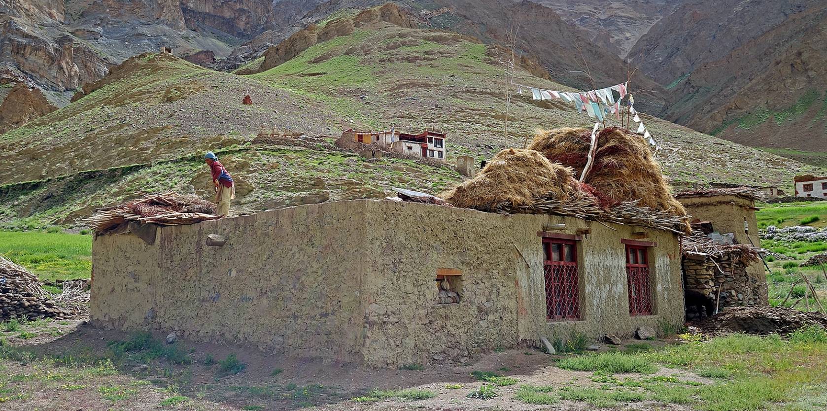
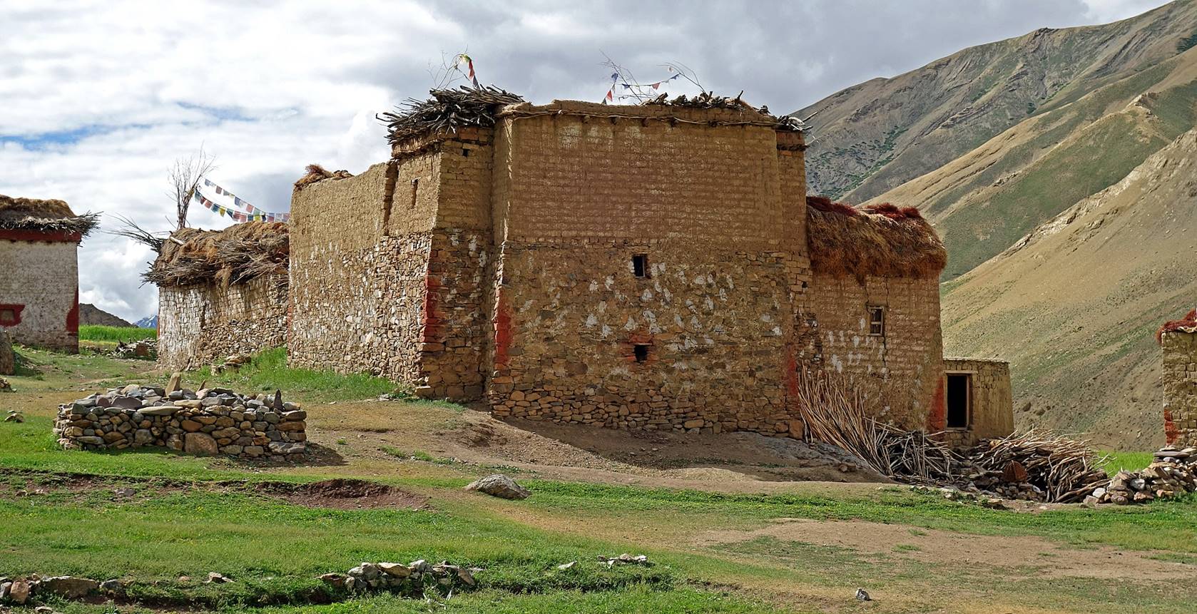
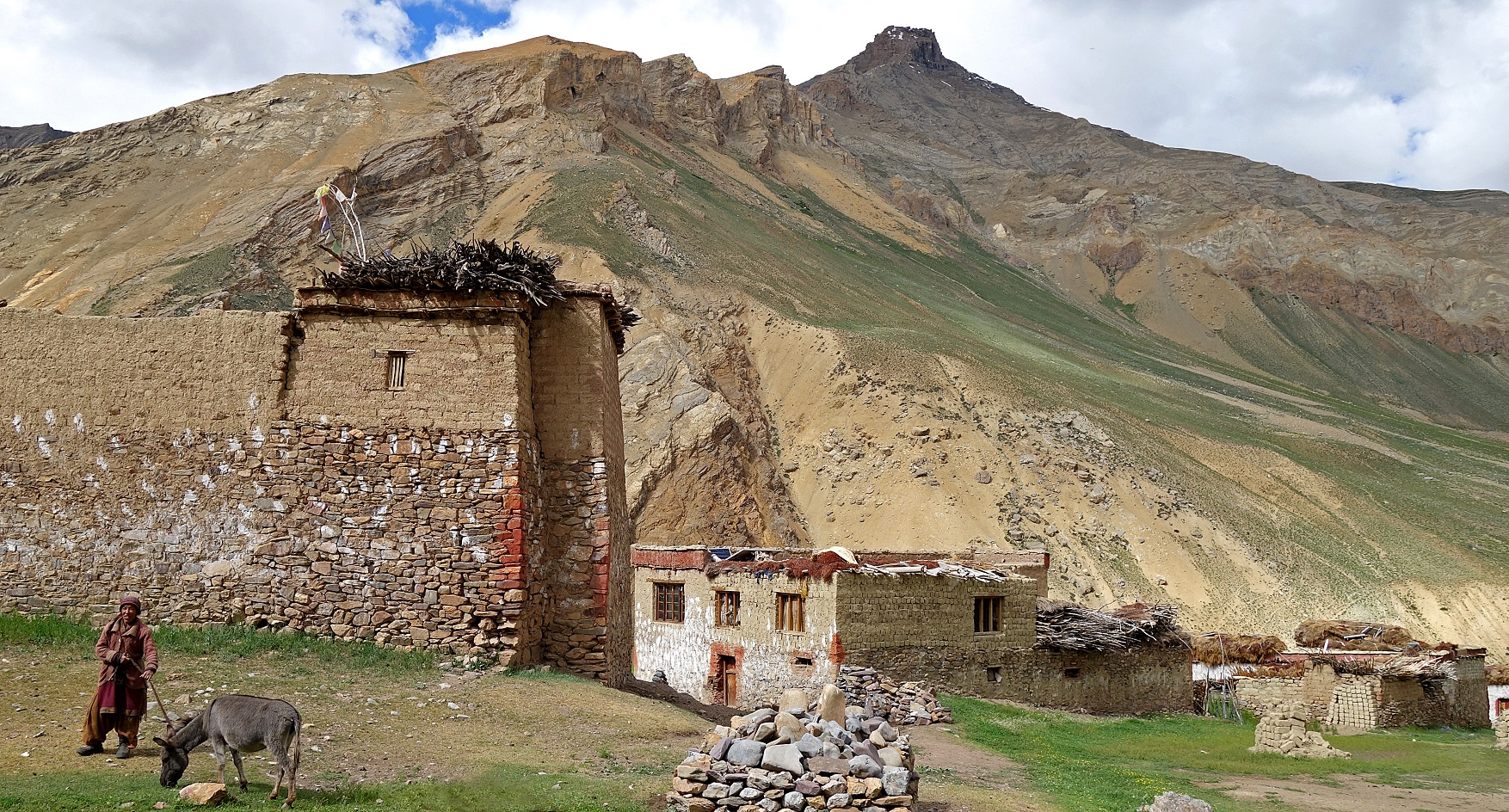
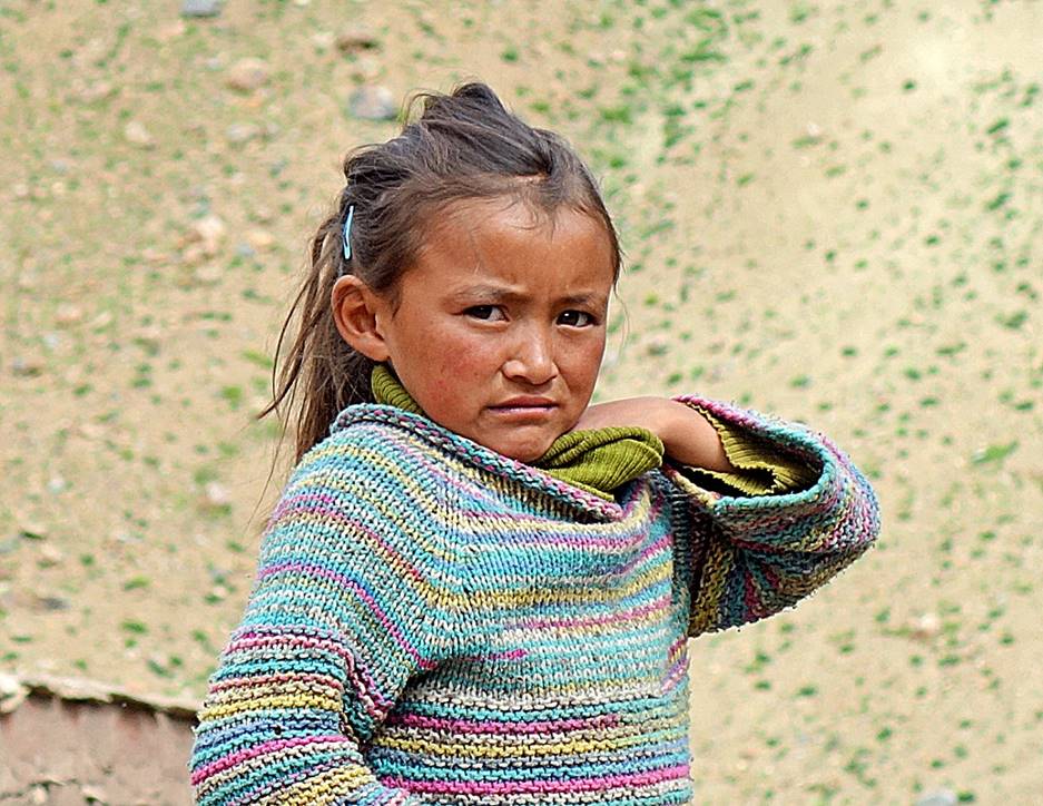
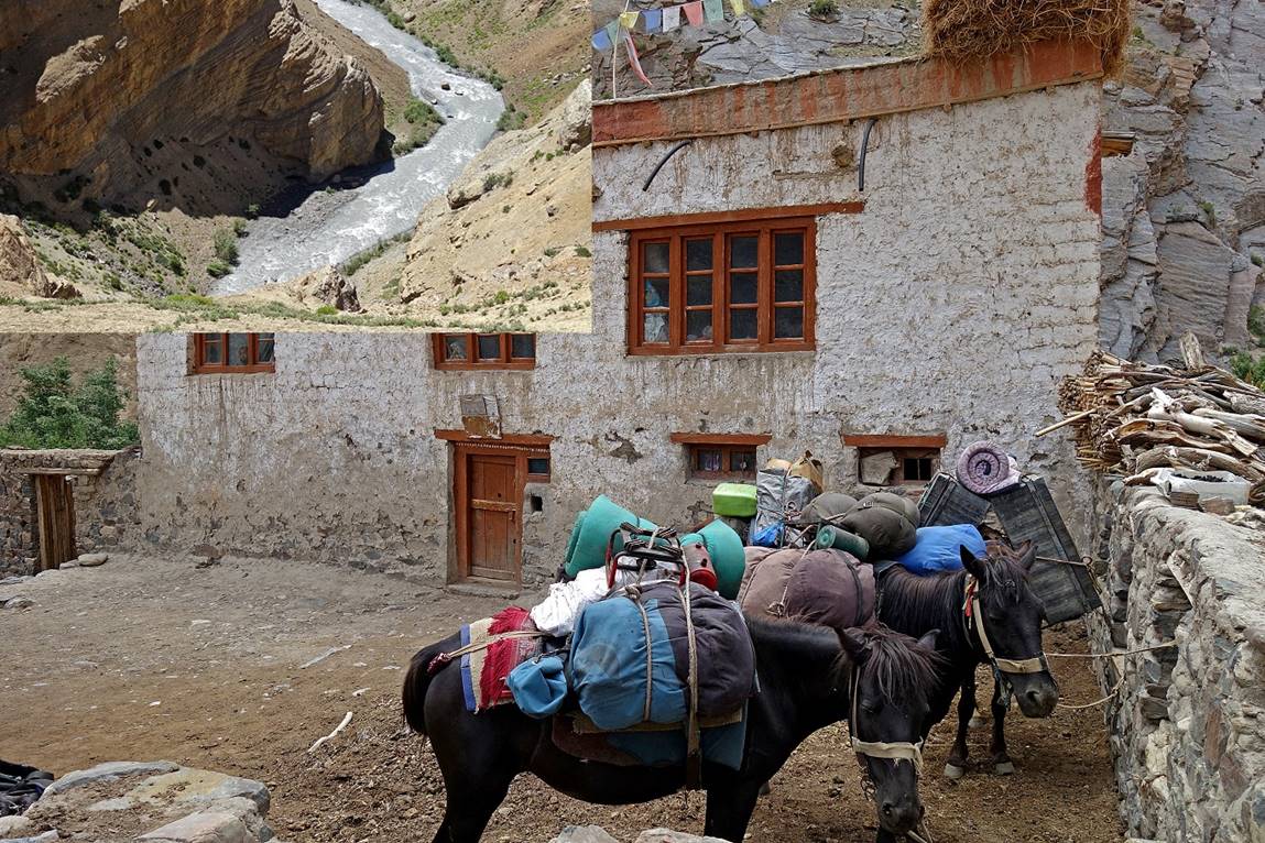
We reached the remote village of Dibling in a couple or hours. Dibling
is one of the very few remaining villages in Ladakh
and Zanskar that is not yet reachable by car. I had
visited it in 2013,
and little had changed between my two visits. Our initial plan had then been to
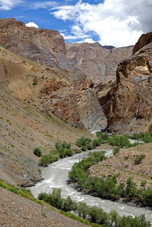
cross three successive passes southeast of Dibling (Marpo La, Kyerse La, and Barmi La) in a single day, but that was over-optimistic. To
stay on schedule, we skipped those passes and instead followed a more direct
route along the Oma Chu (river) south of Dibling (the same itinerary that I had already followed in
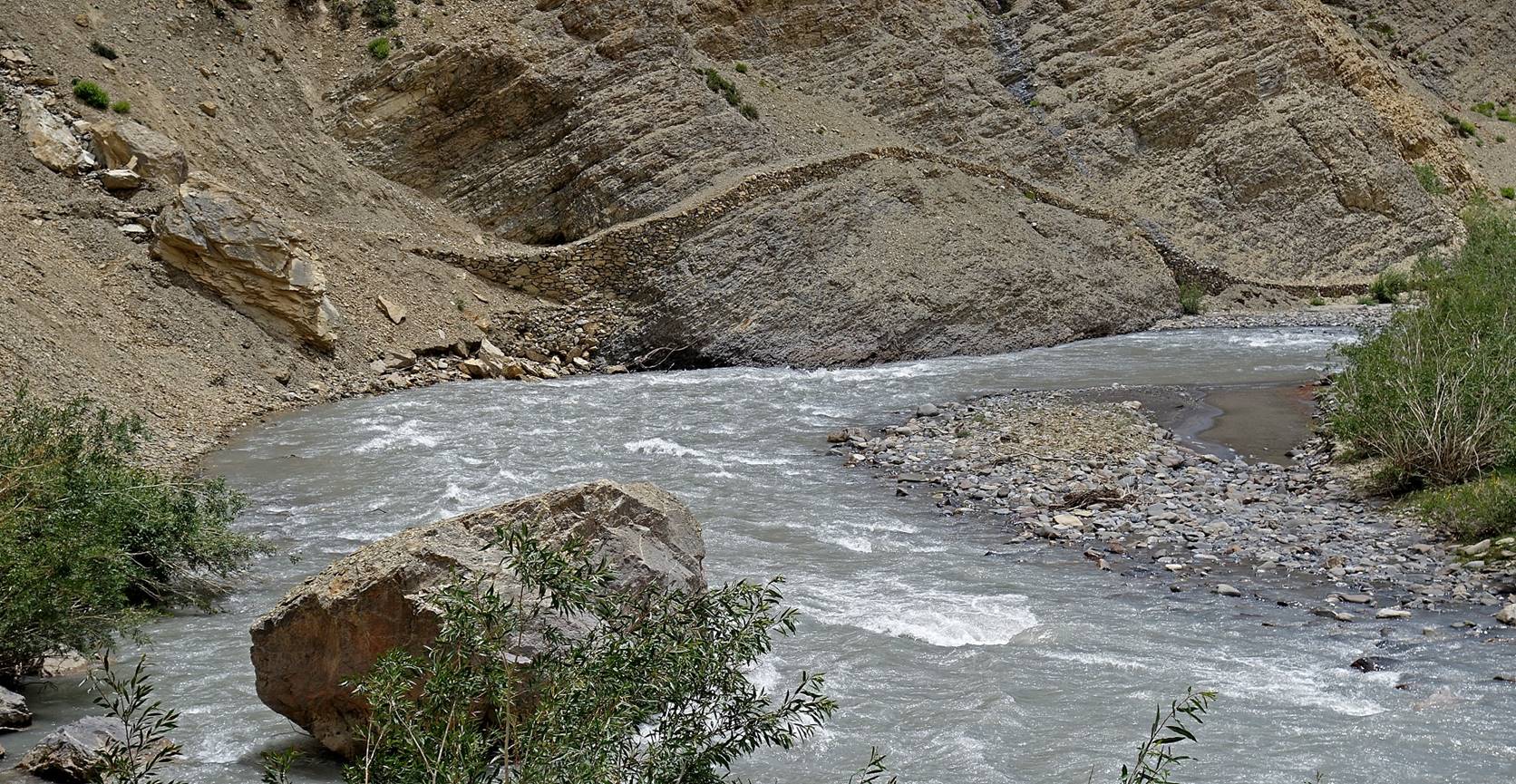
2013). But trekking in the steep and deep canyon of the Oma
Chu requires crossing some very exposed slopes and is a difficult walk, both
for people and horses. We had hoped that we could avoid some of the most
exposed sections by occasionally fording the Oma Chu,
but even in the morning hours the river was too high and swift to be crossed
safely. In fact, for that same reason, we later dropped my original plan to
cross Ralakhung La, as reaching this pass required
fording the Oma Chu. So, we eventually followed the Oma Chu down to Zingchan, near
its confluence with the even bigger Zanskar river. Unfortunately, the mandatory Zingchan
campsite (WP #067) is an awful campsite (windy, dusty, dirty, and noisy) on the
main trans-Ladakh-Zanskar
trekking route. It was the only place where I saw other trekkers in my entire
24-day trek.
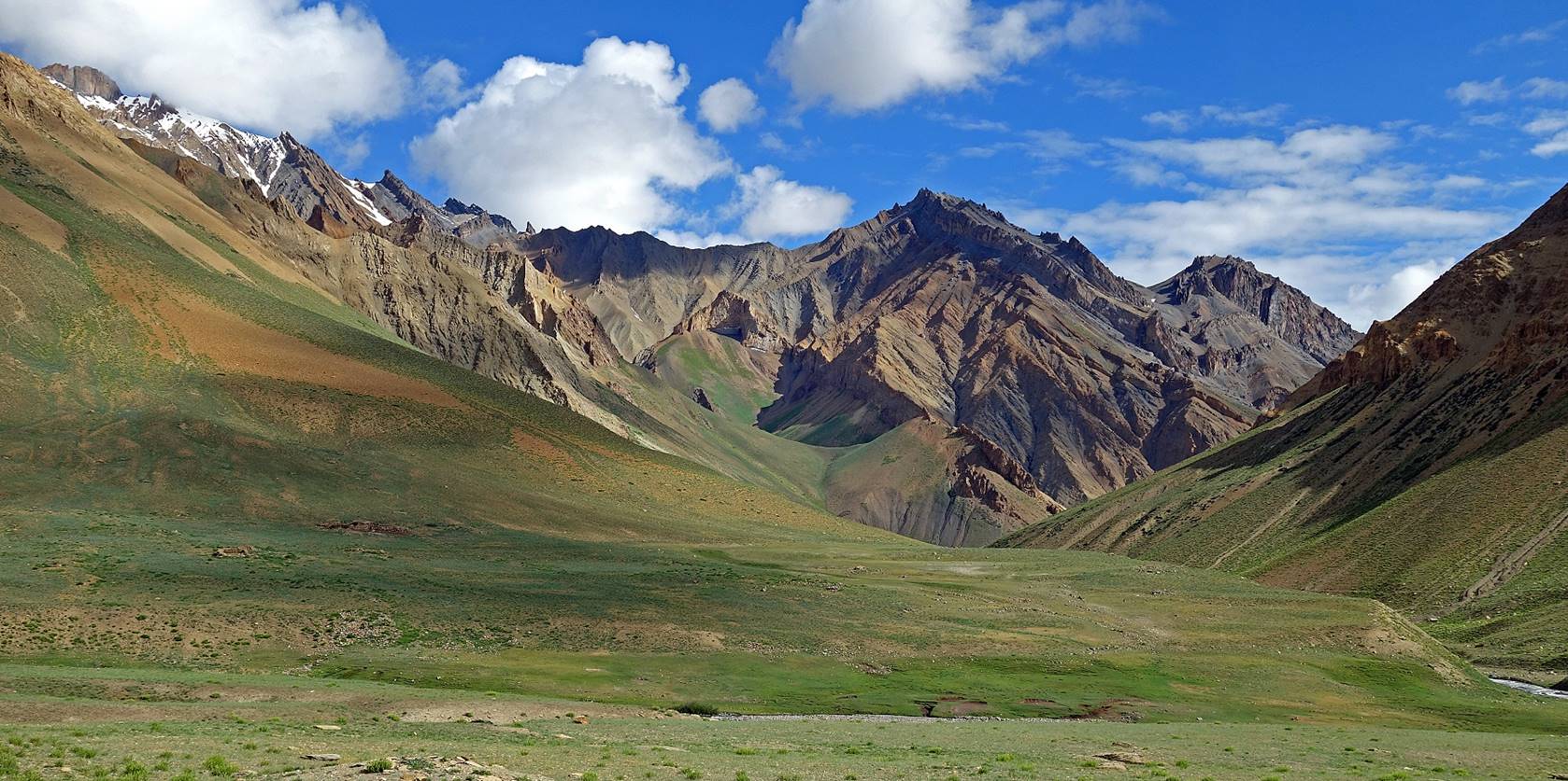
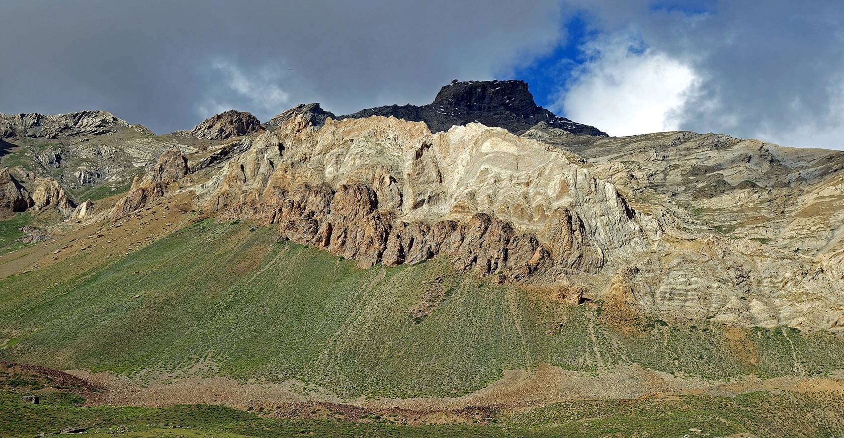
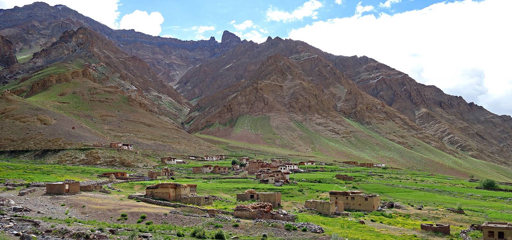
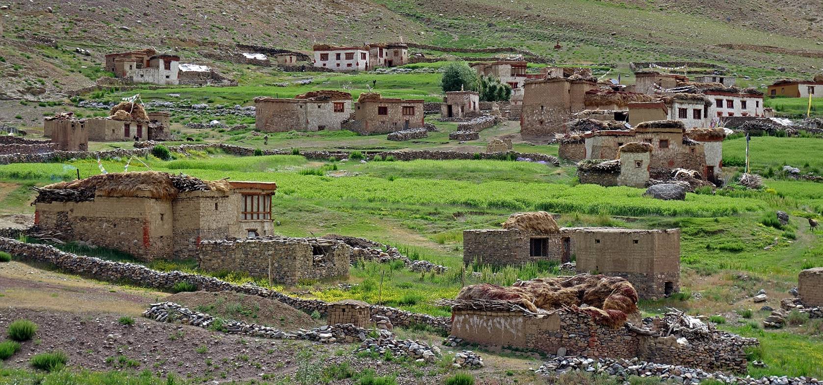
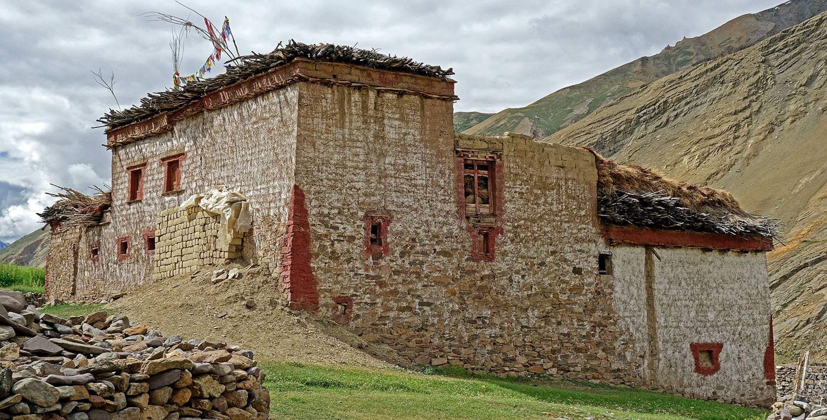
Day 11:
Landscapes
between our WP #052 camp and Dibling.
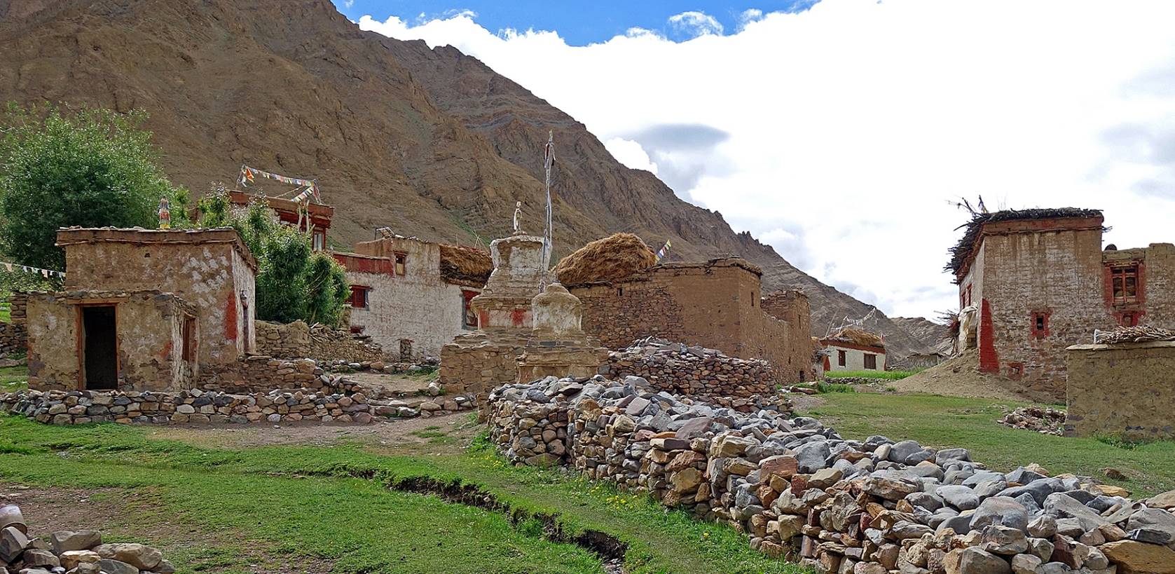
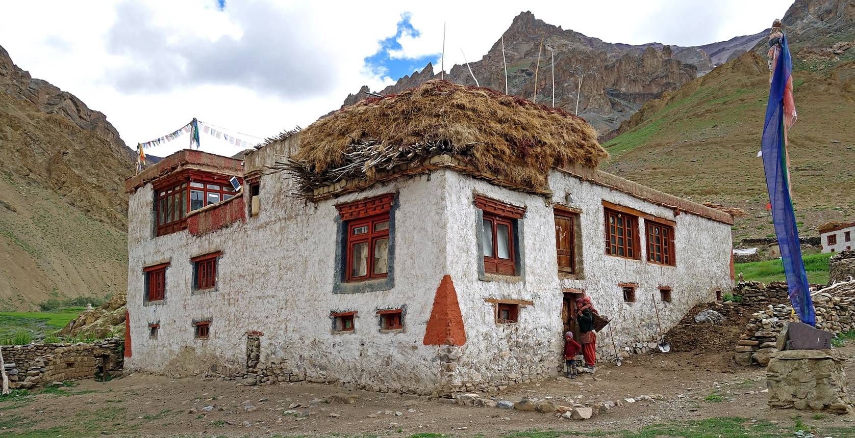
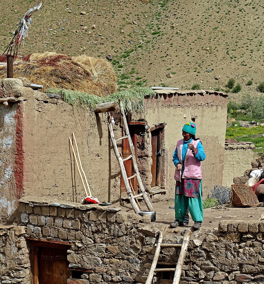
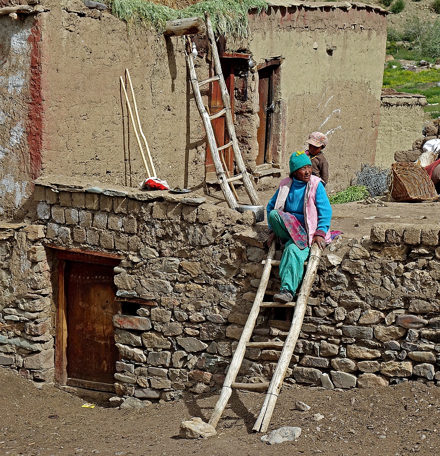
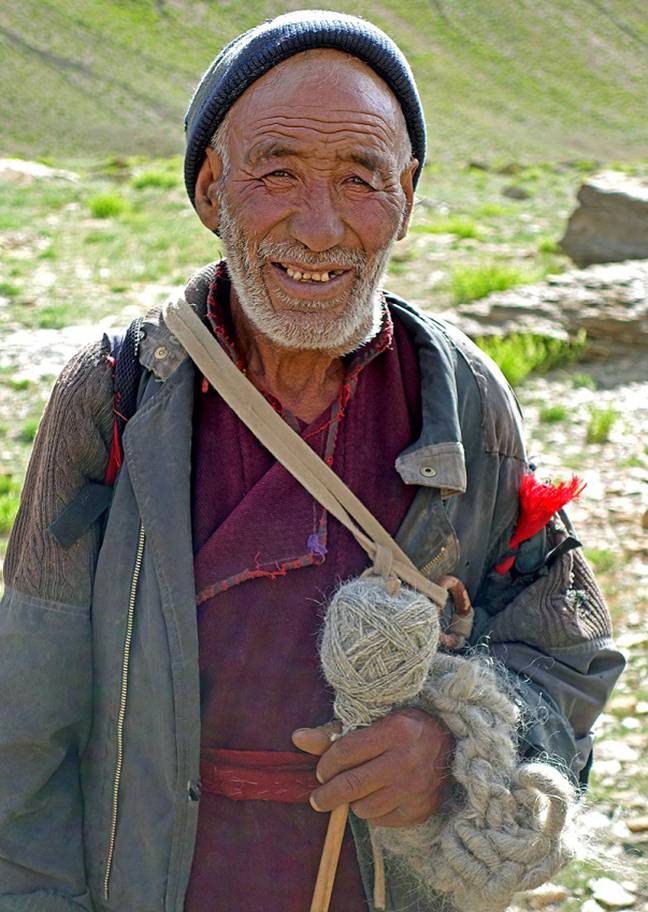
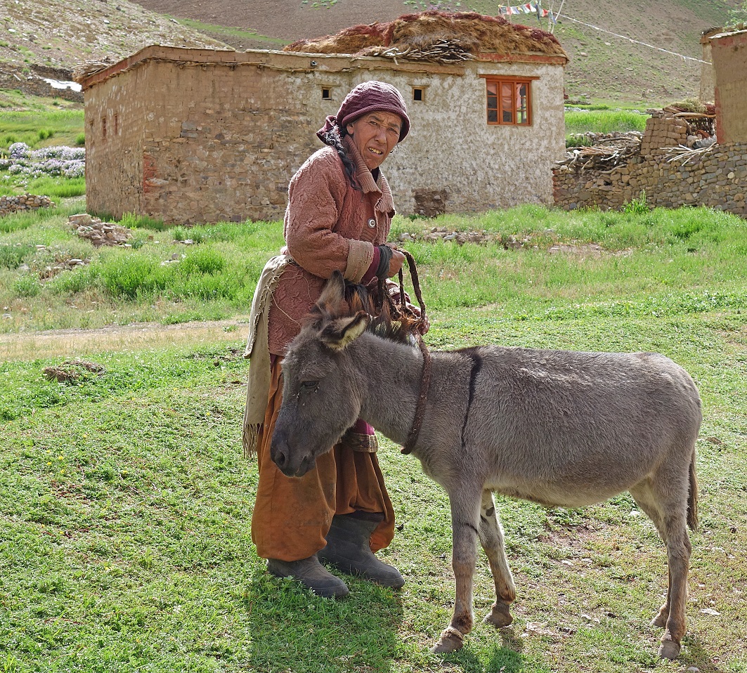
Village of Dibling.
It remains mostly free of any modern structures.
|
|
|
|
|
|
|
|
|
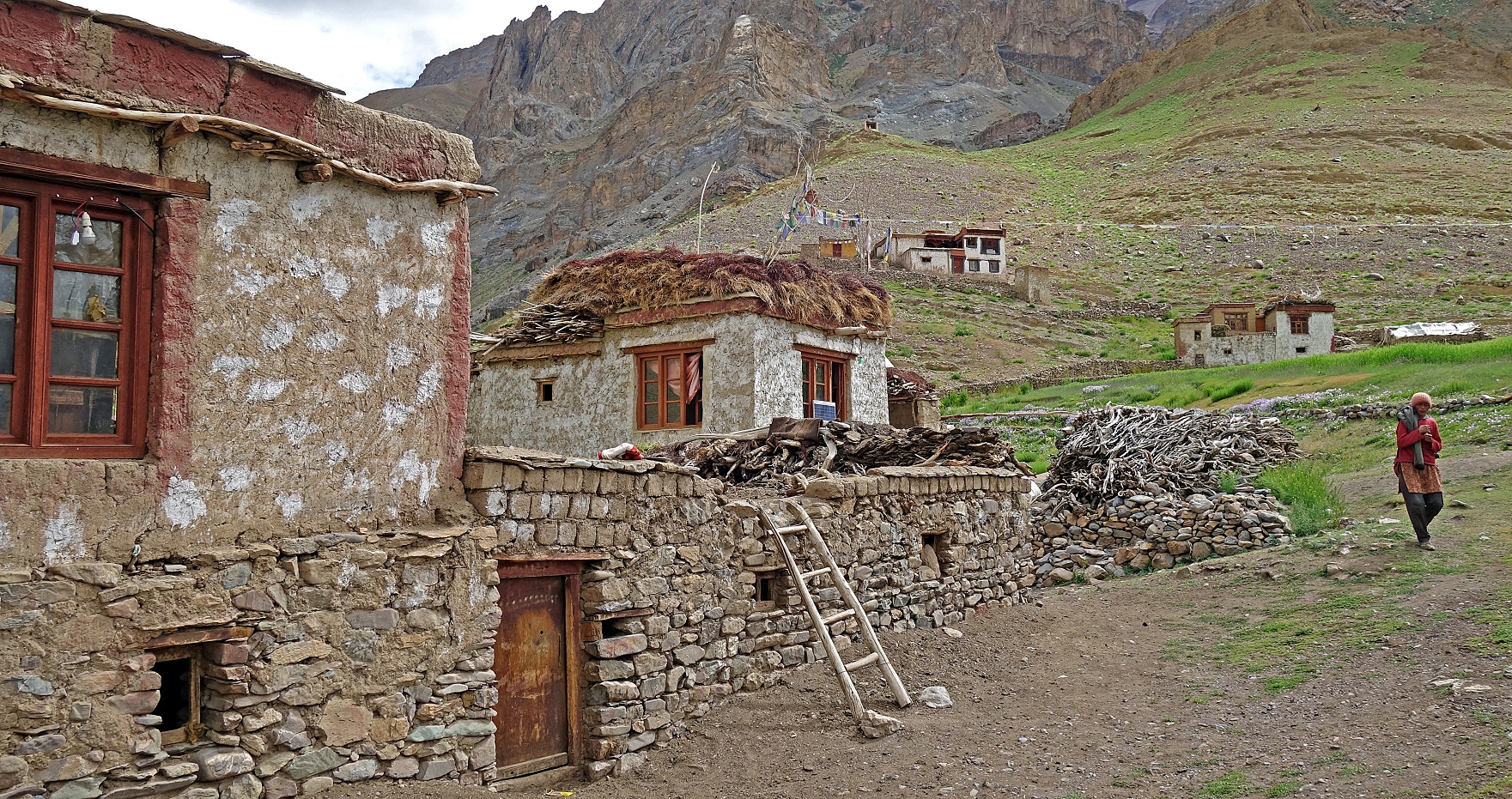
After leaving Dibling
we followed a very good path along the Oma Chu, but
this was not going to last.
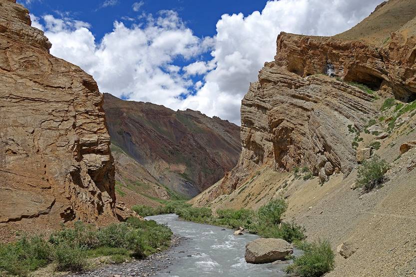
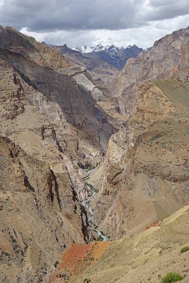
The valley of the Oma
Chu got quickly deeper and narrower (but also more spectacular)...
|
|
|
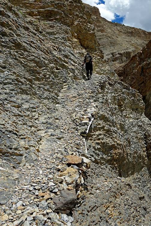
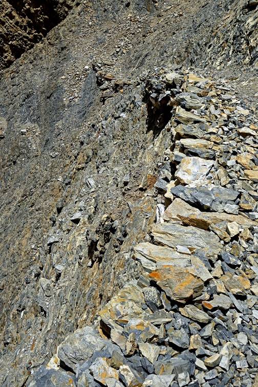
...and of course the trail got thinner
and more exposed on some sections. Below is a portion of the trail sitting on
tree logs seen from below (left) and from the trail itself (center and right).
|
|
|
|
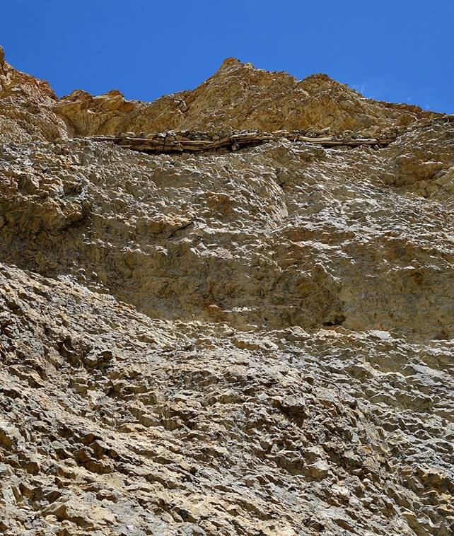
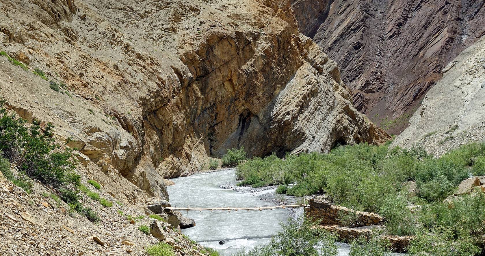
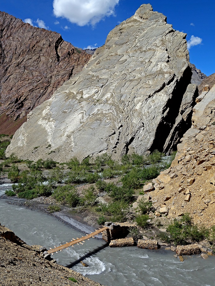
At some point we reached a newly-built
bridge. Dibling villagers had told us that crossing
this bridge (to switch from the left to the right bank of the Oma Chu) would allow us to skip one of the most exposed
sections of the trail on the left bank, provided that would could ford back the
river a couple of kilometers further down (as there was no other bridge there).
So, we crossed the river and install our camp at WP #060 hoping that the river
would be fordable on the next morning.
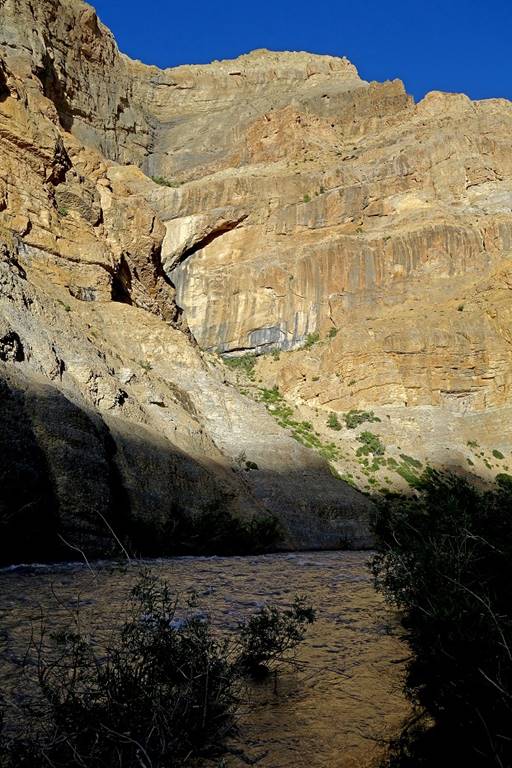
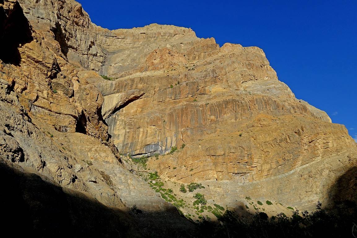
Impressive cliffs lit by the evening
sun, on the opposite side of the river at WP #060.
|
|
|
Days 12 & 13: From the camp at
WP #060 to the Zingchan camp (WP #067).
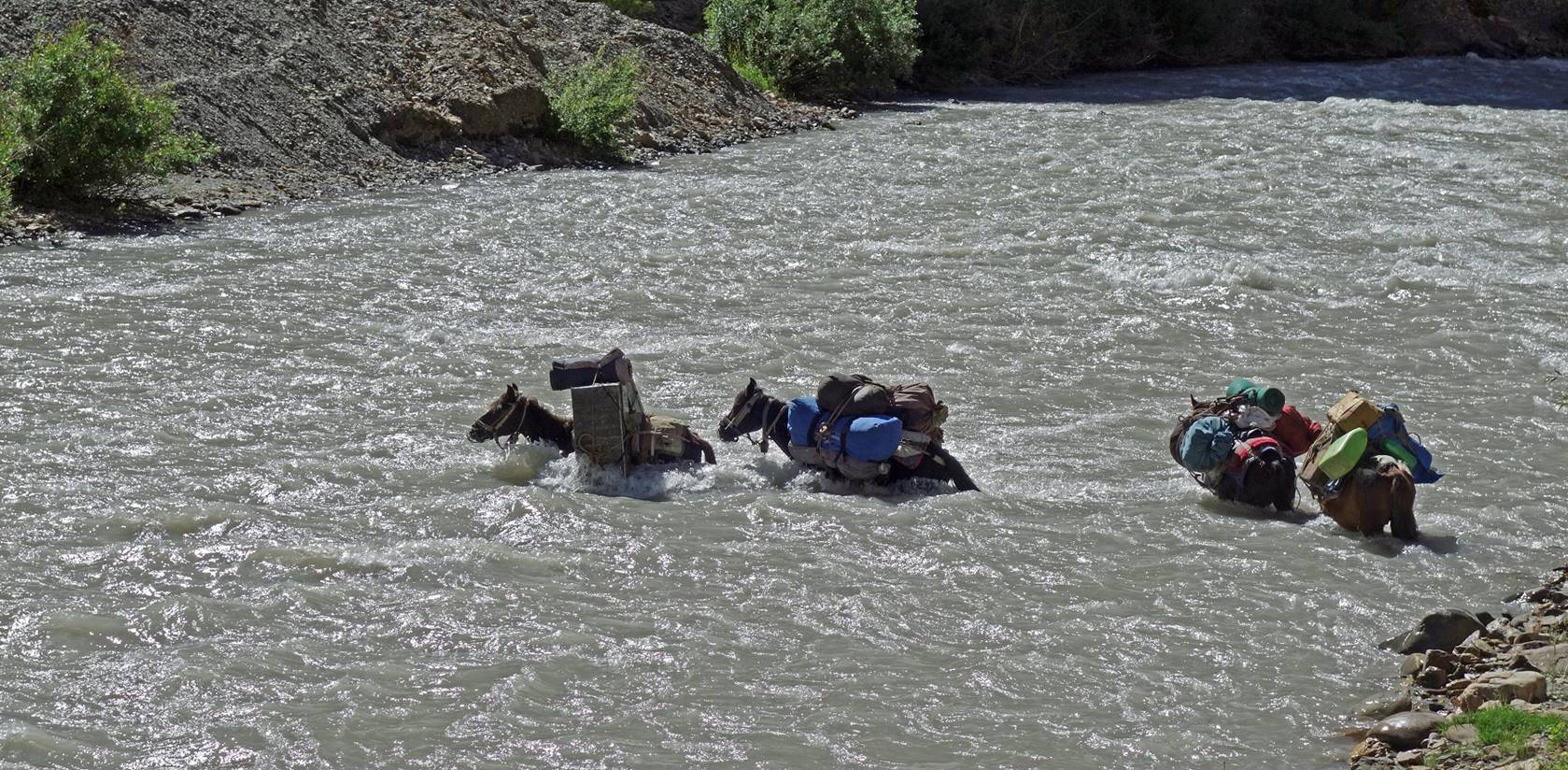
Unfortunately,
the Oma Chu was still very high in the morning. Only
the horses could (barely) ford it. The rest of us (including Dorje Tundup) returned to the bridge,
where we crossed back the river. However, the overall choreography was a bit
more complicated: Tundup went first to the opposite
side of the river while Dorje Tundup
waited with the horses. Only then the two of them (one on each side) were able
to make the horses do the crossing. I took the following picture from the right
bank before returning to the bridge.
Left: View of the bridge from the left
bank of the Oma Chu. Right: Trail above the left
bank.
|
|
|
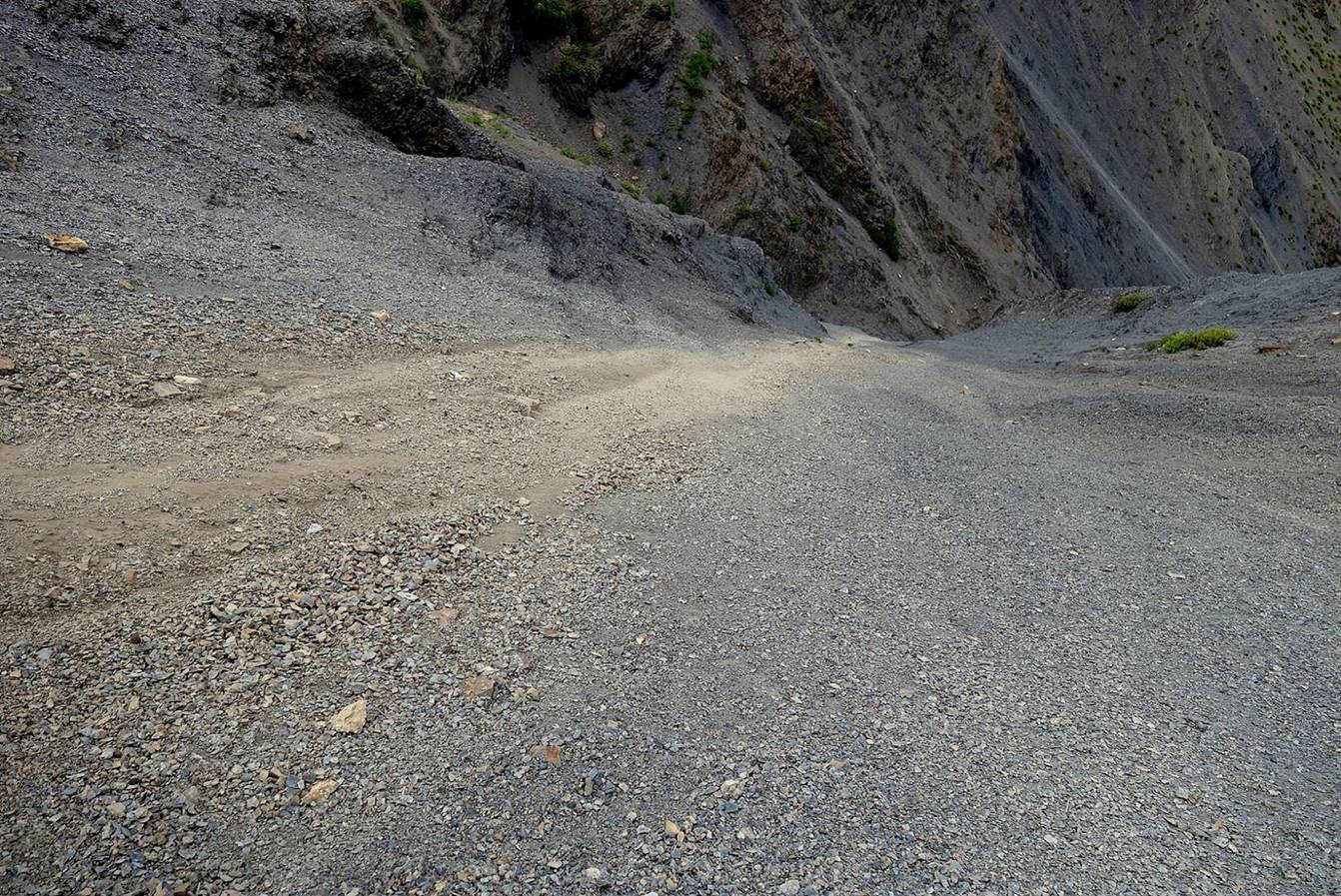
Continuation of the trail.
Portion of the trail down to the place
where the horses had already forded the Oma Chu, with
Nurbo ahead of me.
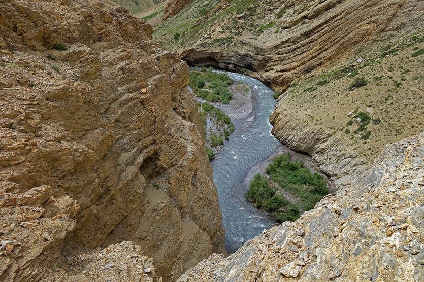
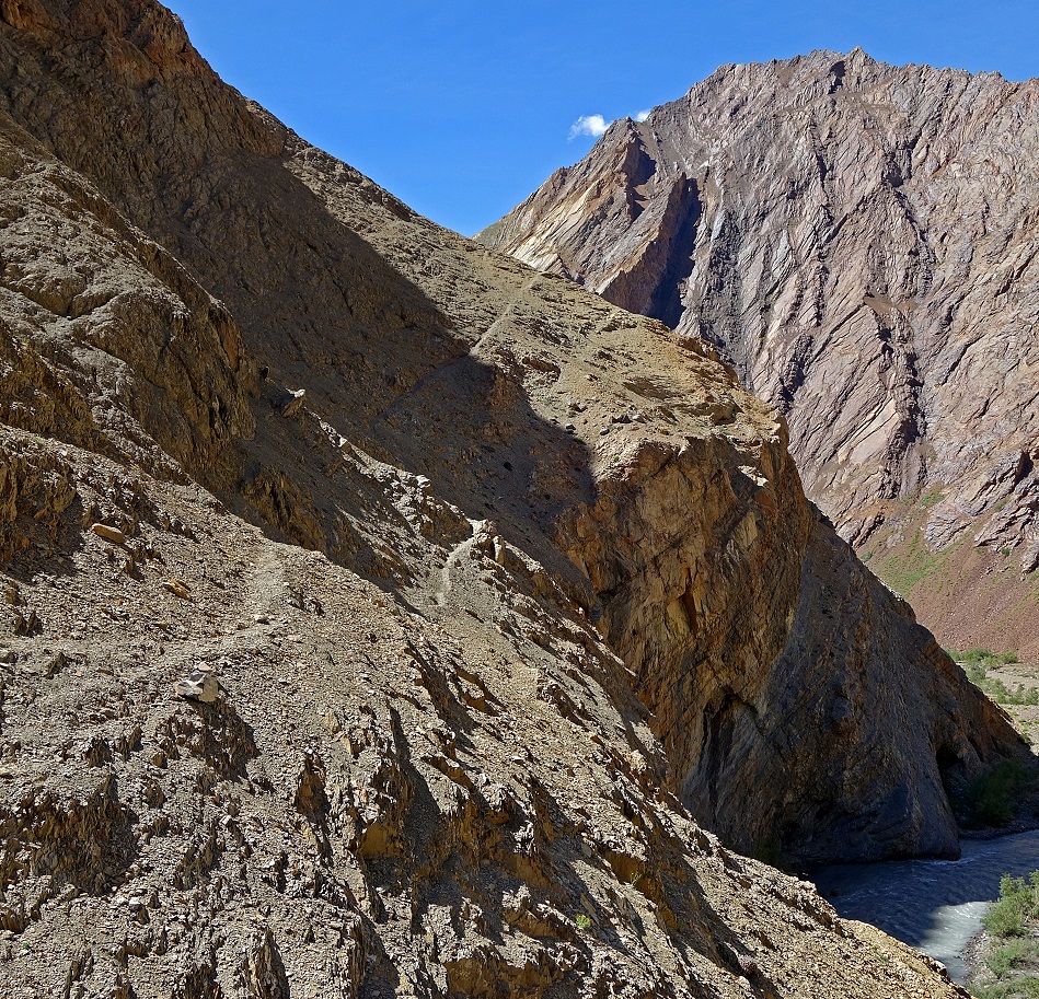
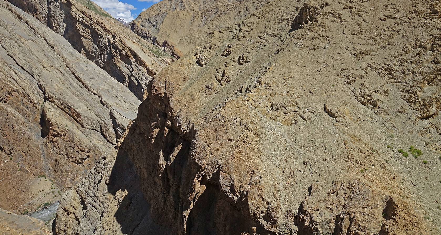
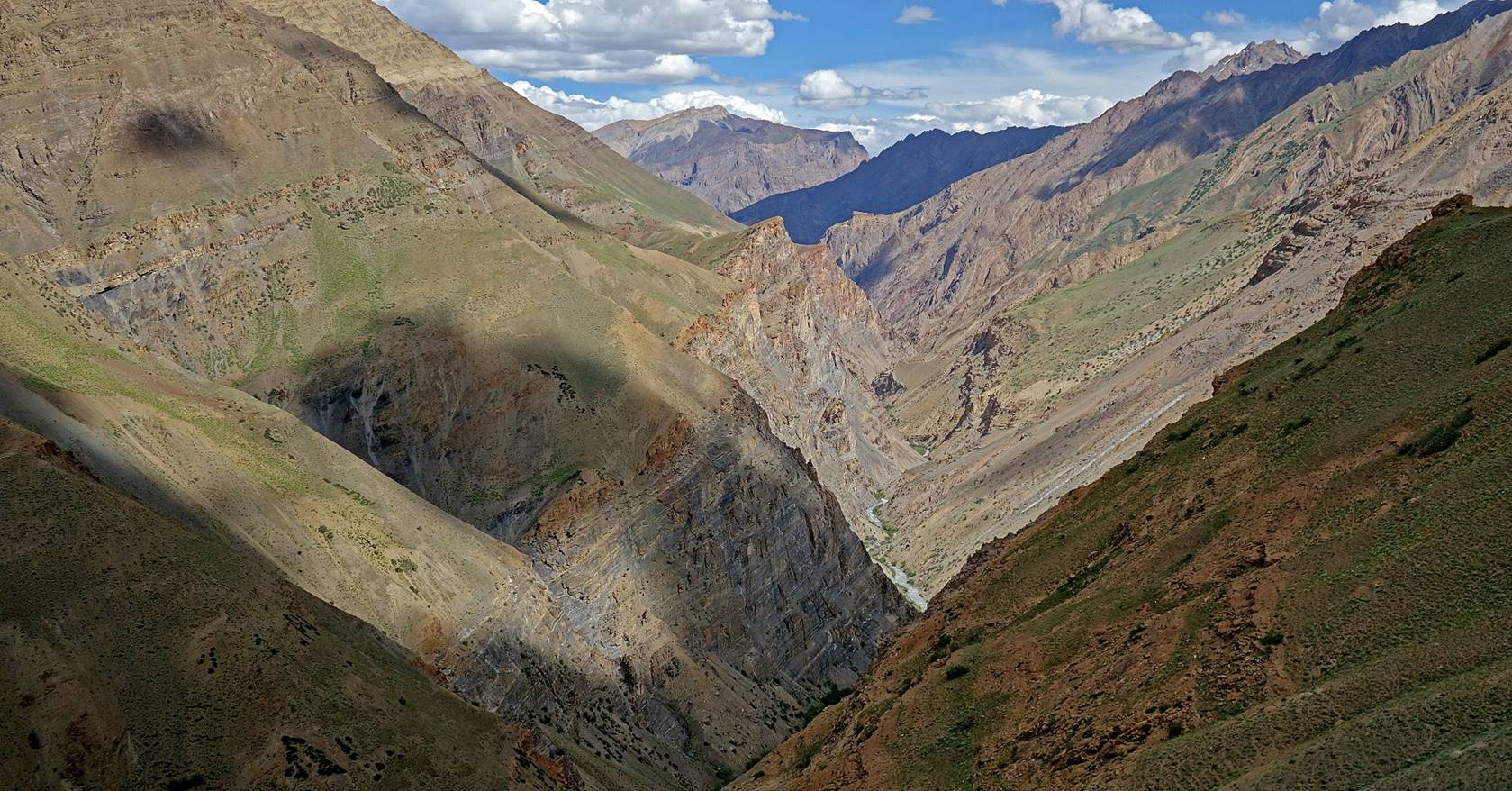
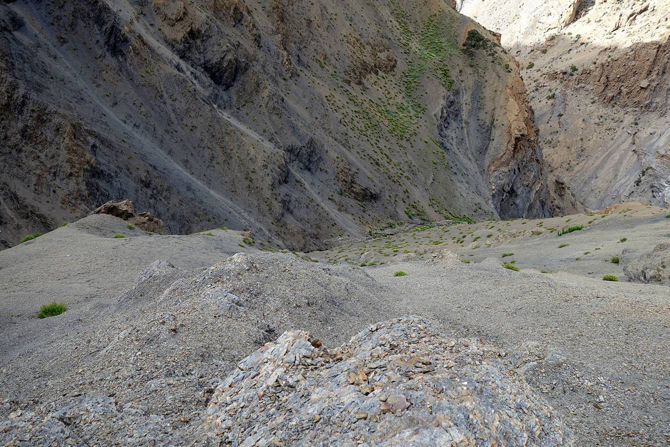
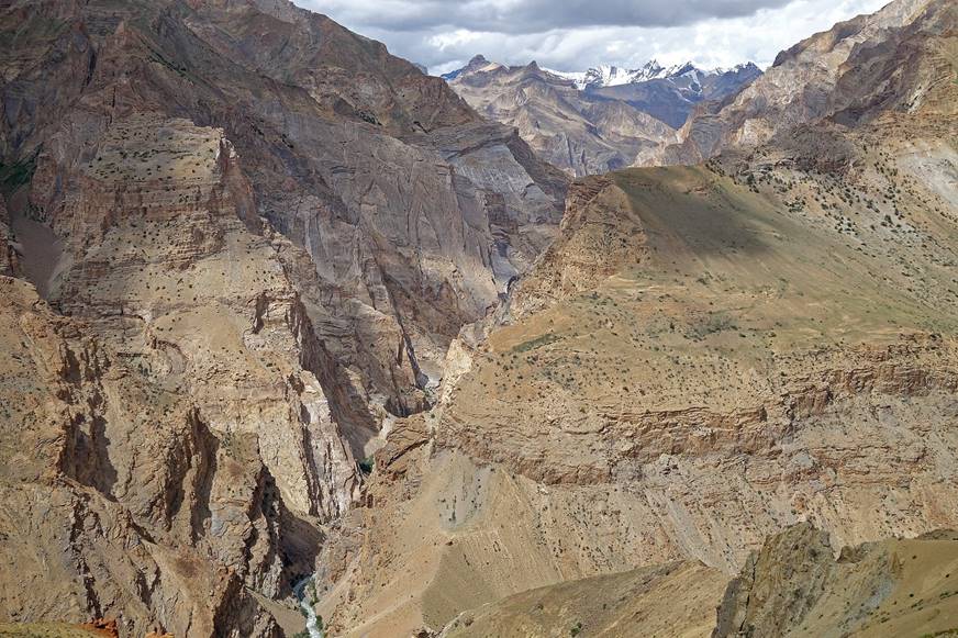
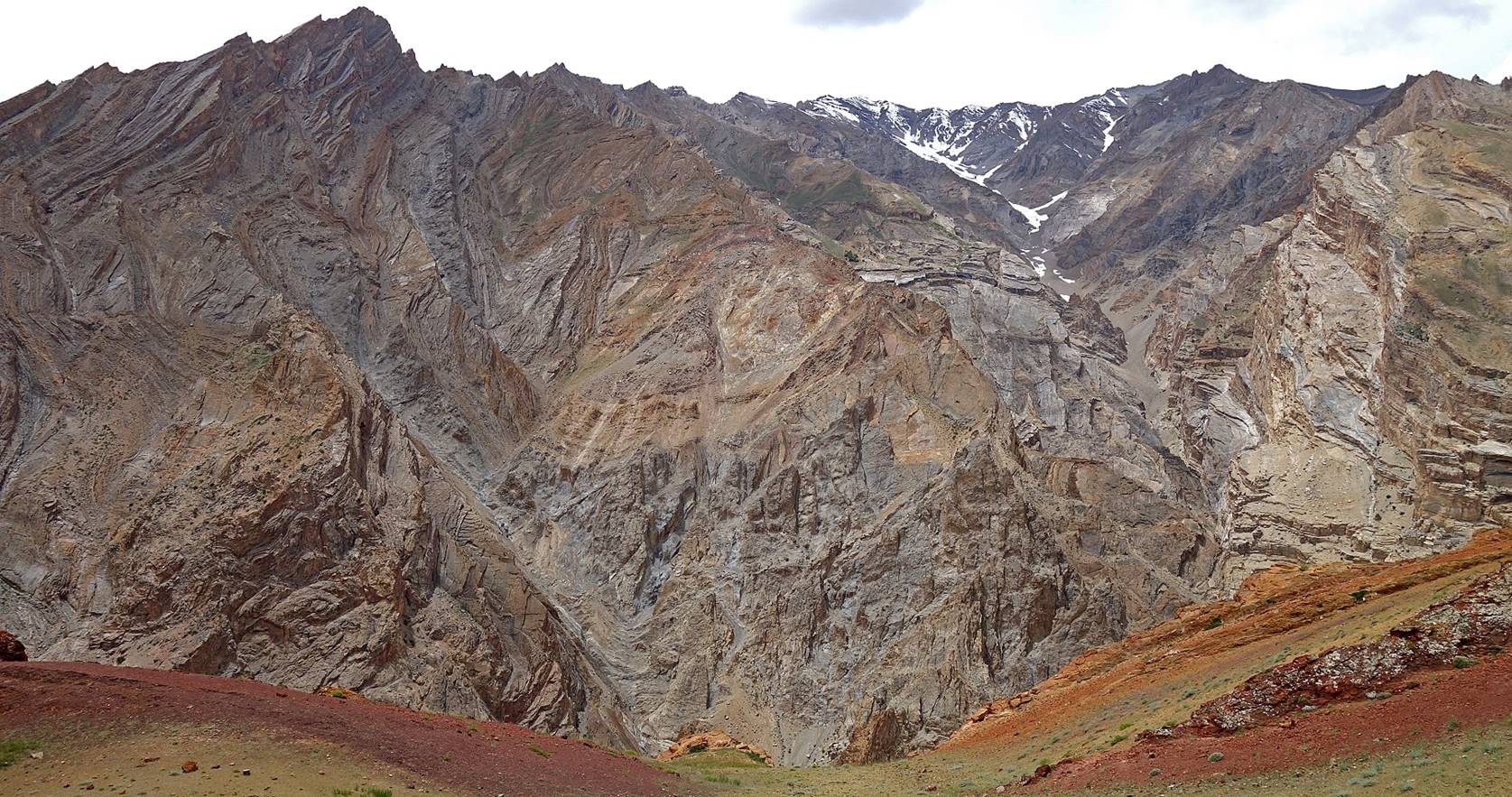
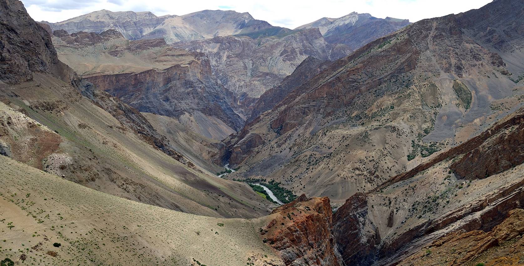
View over the canyon of the Oma Chu further south. We remained on the left side of the
canyon until the Zingchan camp.
Views showing how steep it looked from
the trail.
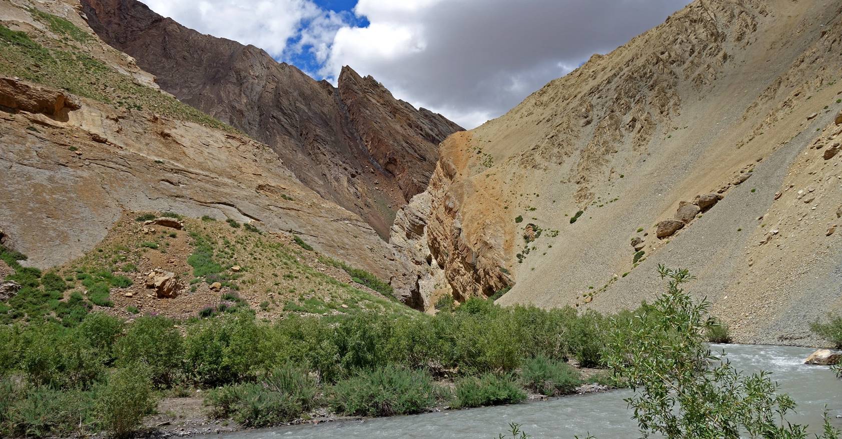
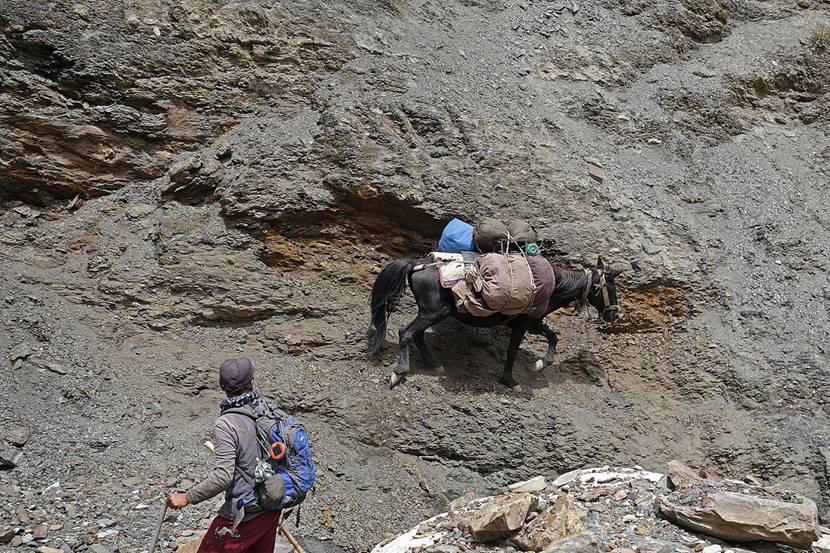
Our horses on one of the slopes.
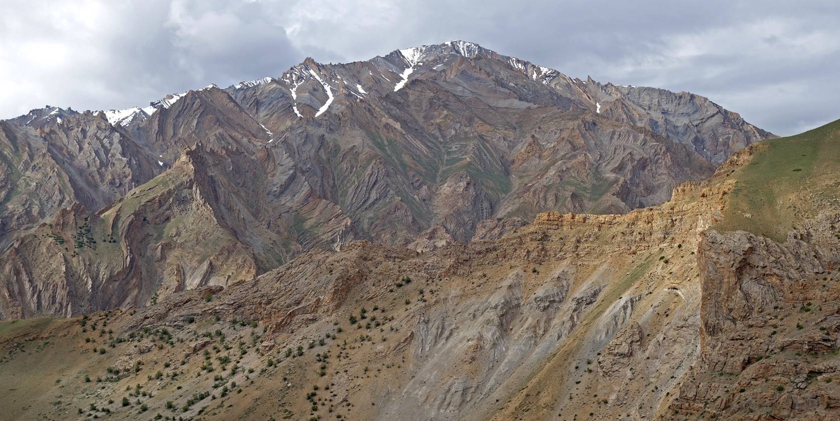
But the surrounding mountains were
gorgeous.
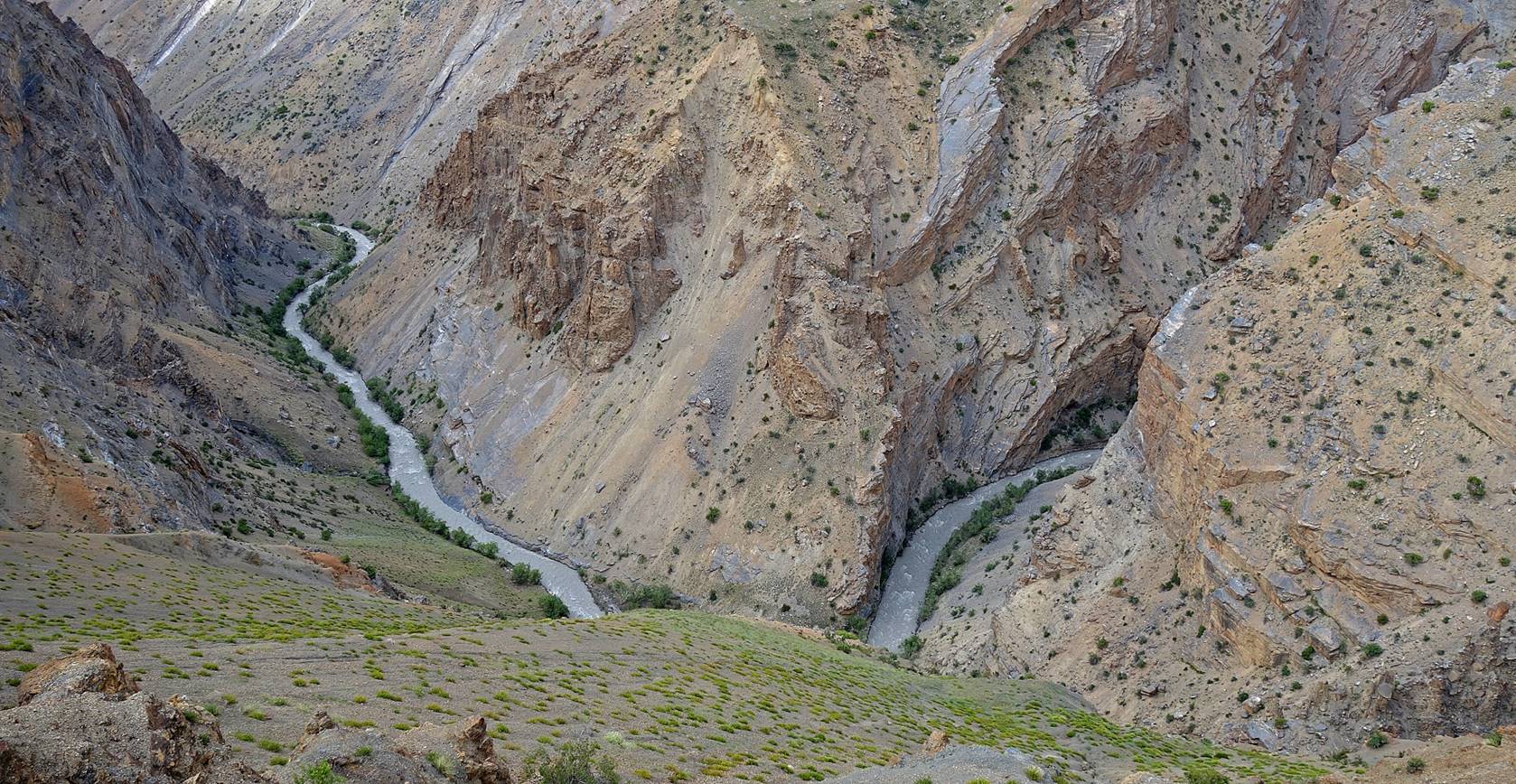
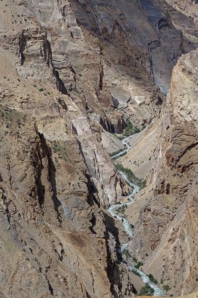
Views over the very narrow side-canyon
leading to Ralakhung La on the opposite side of the Oma Chu canyon. Not being able to cross the Oma Chu and reach this side-canyon was my second biggest
disappointment during the trek, after our earlier failure to cross Lasar La and reach Rangdum on
foot.
|
|
|
|
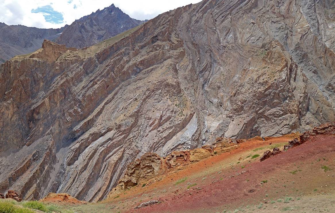
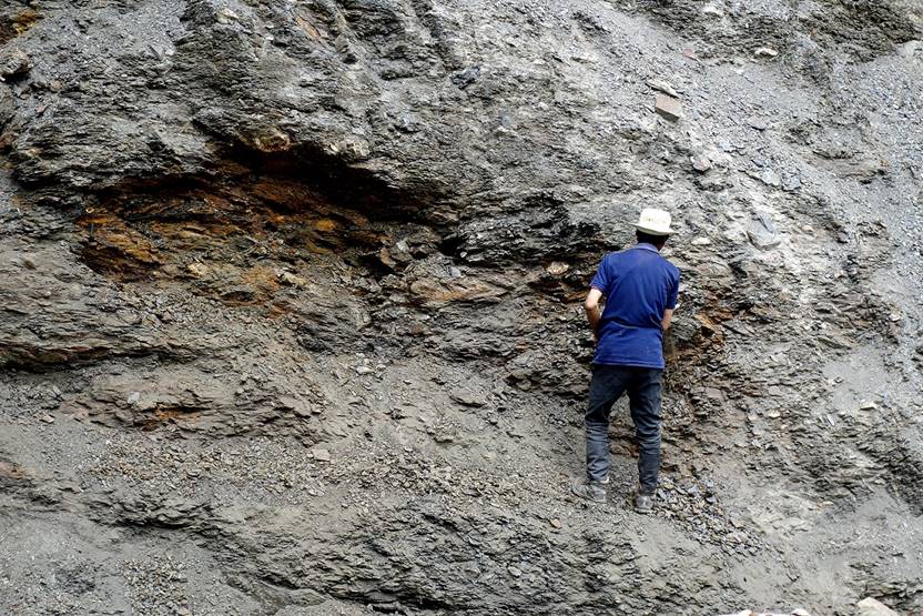
Swirling patterns and colorful rocks.
|
|
|

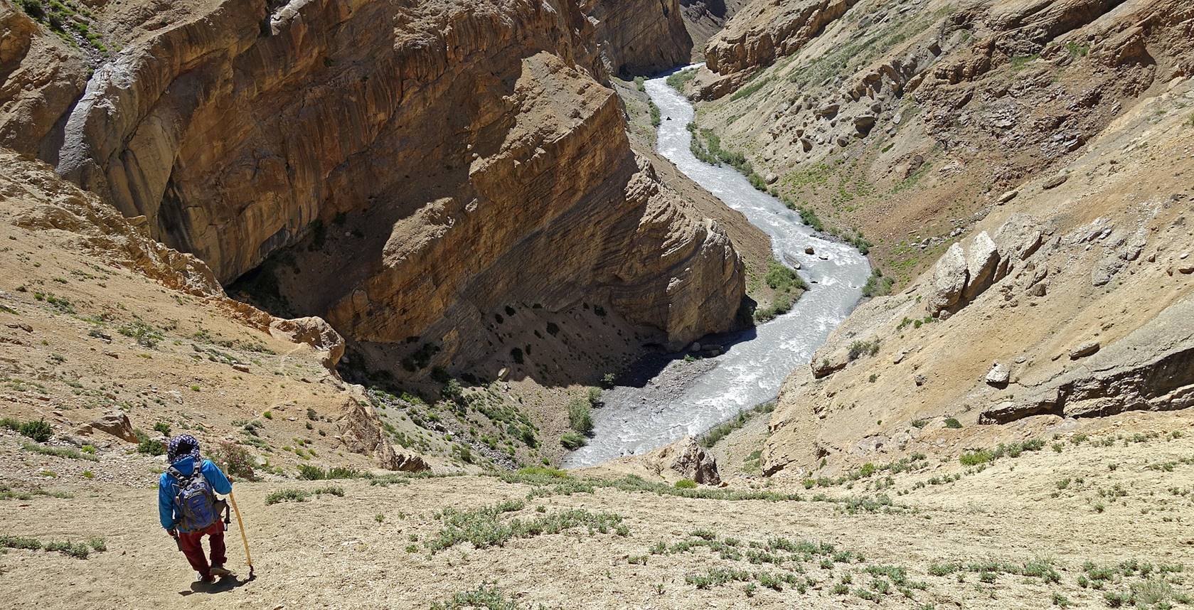
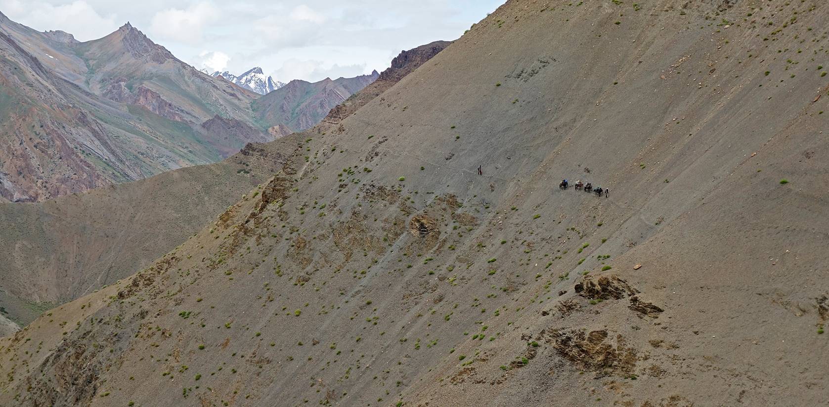
Reaching the small Zingchan
settlement (green area at the bottom of the valley). The Zingchan
campsite is less than 2 kilometers further than this sttlement.
At some point during the descent toward Zingchan the trail was too narrow for the horses to pass
safely with the bags. Using an ice axe Dorje Tundup cut the soft rock to make space of the bags.
|
|
|
Left: Our horses resting at the friendly
Zingchan settlement, where we were offered tasty
yoghourt and tea. Right: The final piece of gorge before reaching the campsite
at WP #067.
|
|
|
![]()