Indonesia (December 2018): Ascent of Gamalama (Ternate)
![]()
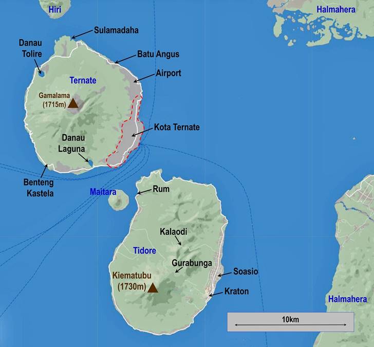
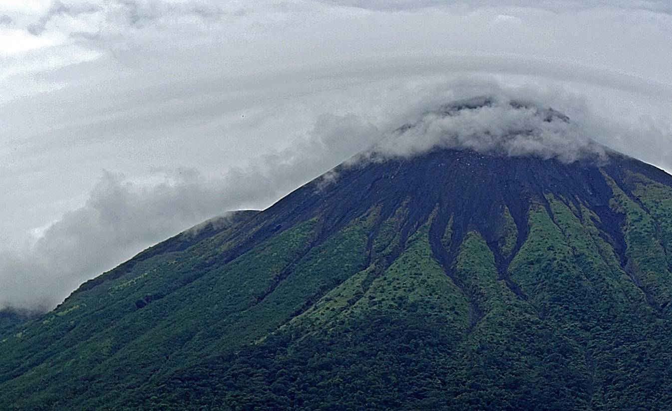
Gamalama (1715m) is the volcano dominating
Ternate. In fact, as the photo below shows, Ternate is Gamalama, as the entire island is
formed by the portion of the volcano that emerges from the surrounding Moluccan
Sea. So, it would have been hard for me to come to Ternate and not be tempted
by an ascent of the summit. I did this climb with Iki, a university student and
a native of nearby Tidore. This reliable guide had
been arranged for me by Aty, the owner of the Kurnia
Homestay where I stayed in Kota Ternate. Due to the uncertain weather, we
started the climb a bit late, around 10:30am, at the Moya village trailhead
340m above sea level. We reached the summit cone of the volcano, but sulfur
gases mixed with clouds led us to turn around at about 1650m. We were back at
the trailhead at 5:30pm. Since the 16th century, over 70 eruptions of Gamalama have been recorded. The last one to cause
fatalities dates from 1962, but smaller ones have occurred as recently as
2007-2008, 2012, and 2014. The volcano is currently considered ″restless″.
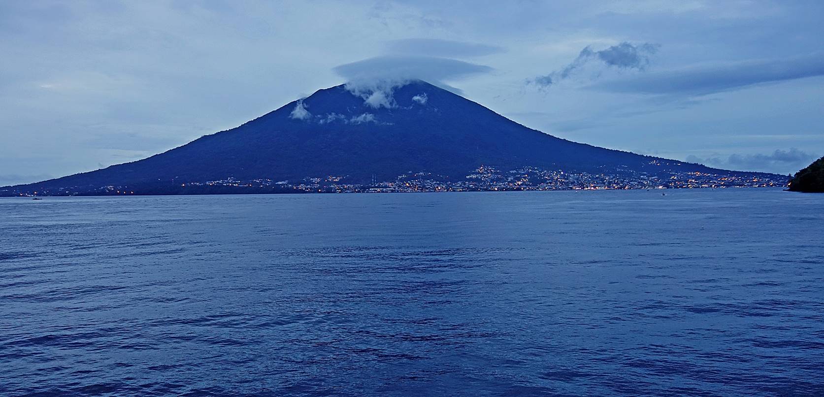
View of Ternate/Gamalama
at dusk from the ferry between Rum (Tidore) and
Ternate. A quasi-perfect cone.
Other views of Gamalama:
- From Benteng
Tolukko in the northern part of Kota Ternate.
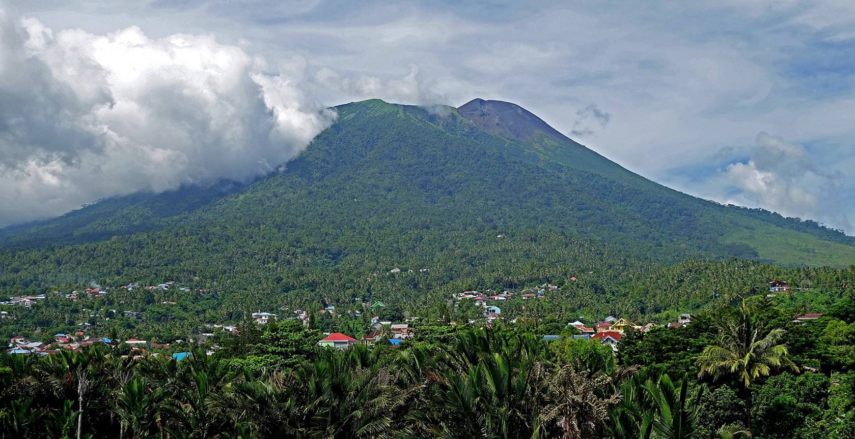
- From Ternate airport. (Note the fumes
coming out from the crater.)
- From the north of the island near Sulamadaha.
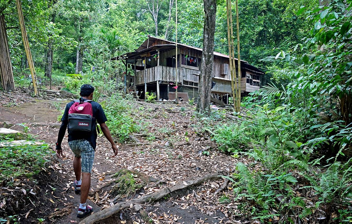
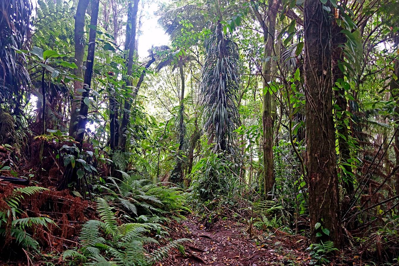
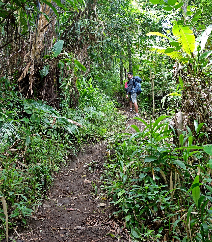
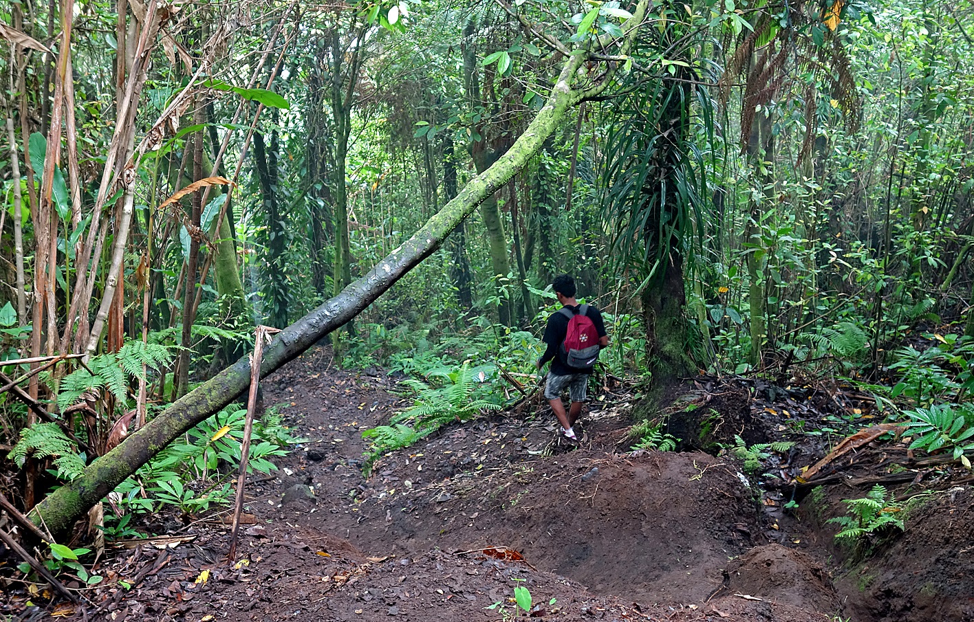
Start of the climb at Moya village. Most
of the climb is rather steep, but easy, on a good trail. For me the first hour
of the climb was the hardest, due to a combination of heat, humidity, and lack
of breeze. Above 600m, the air got cooler and dryer and my body felt more
comfortable.
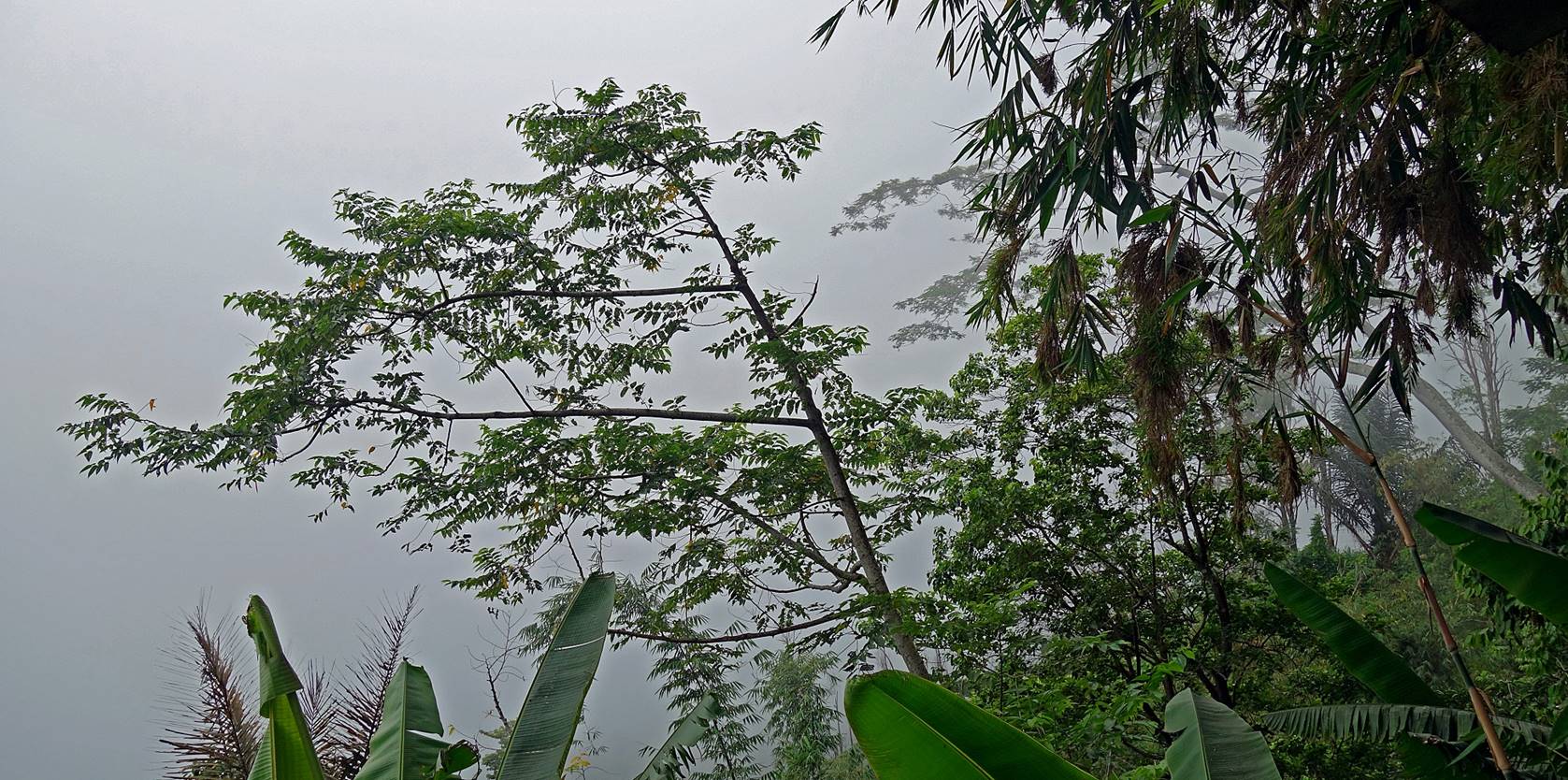
Some views of the trail.
|
|
|
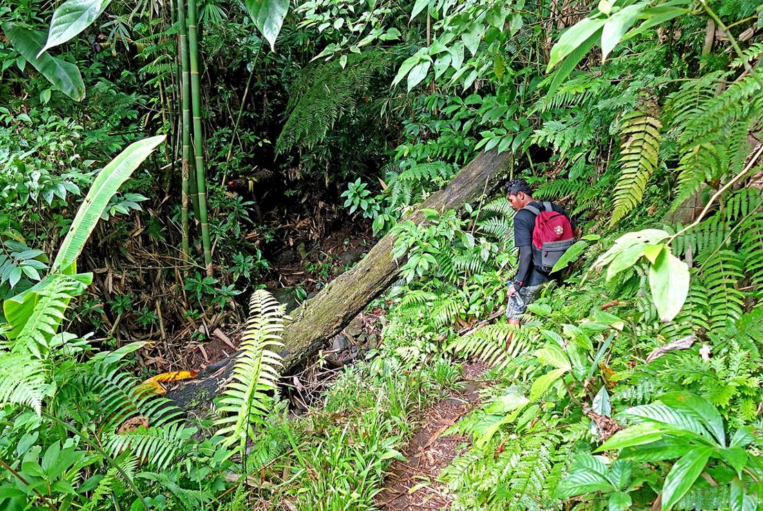
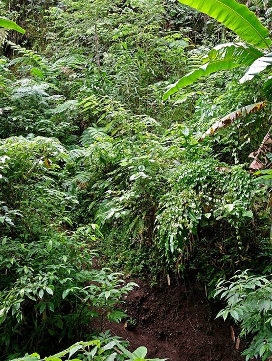
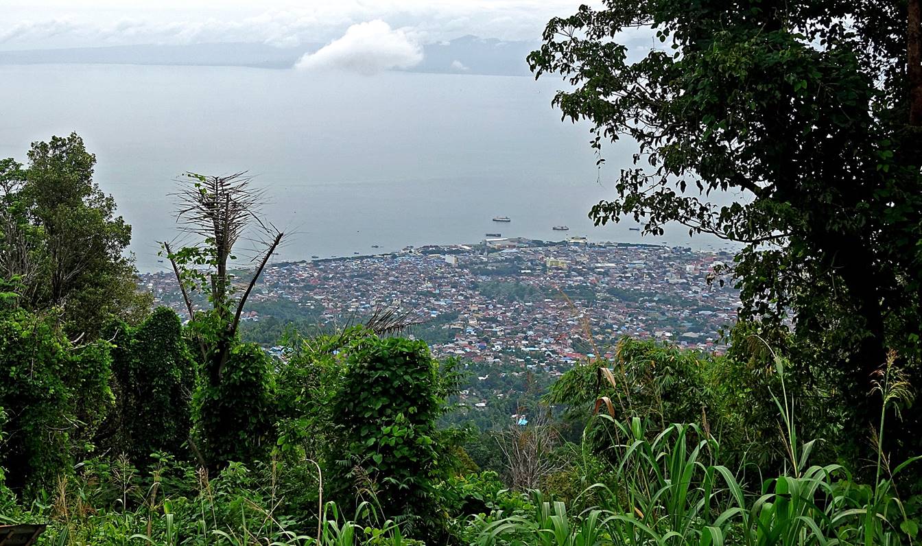
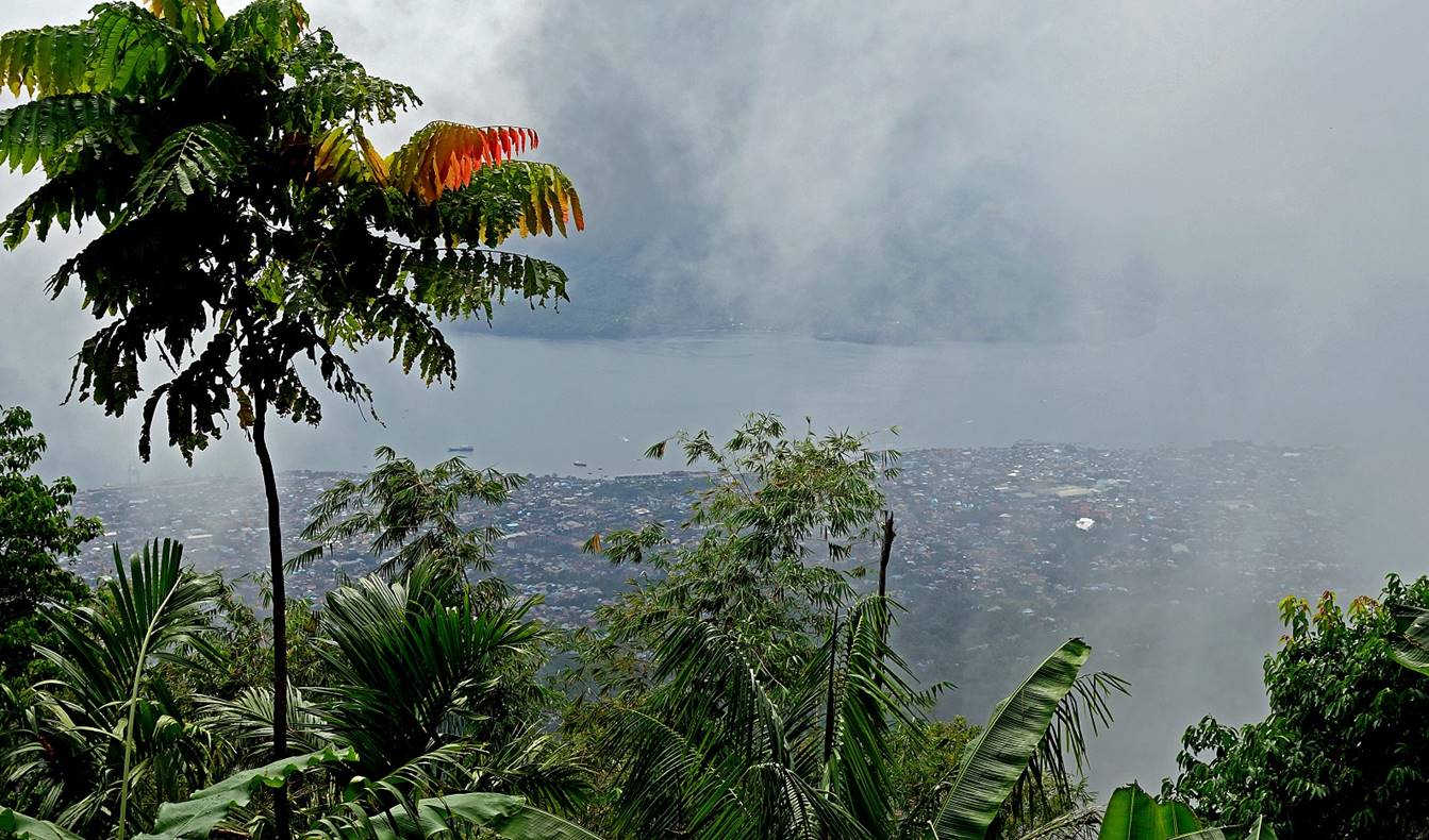
Rare sights over Kota Ternate. Most of
the time the dense forest was obstructing any long-range views.
Further up.
|
|
|
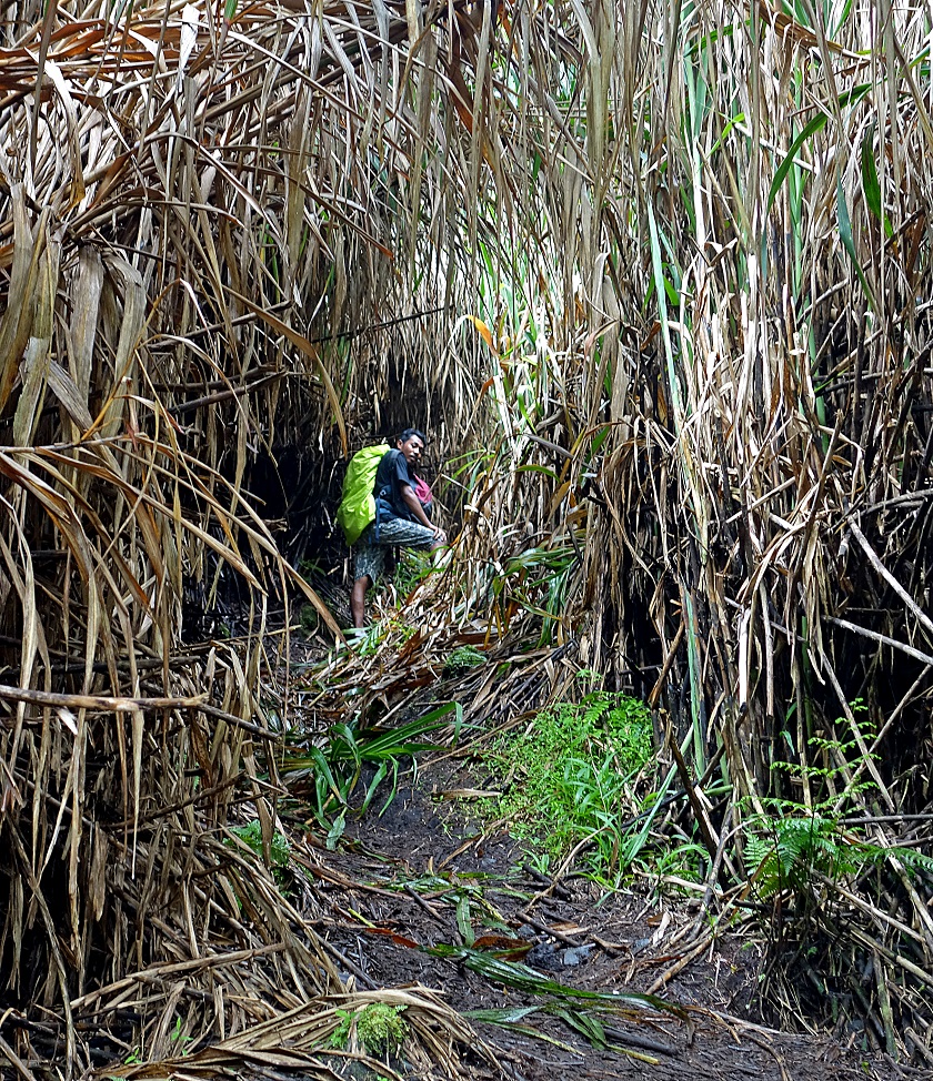
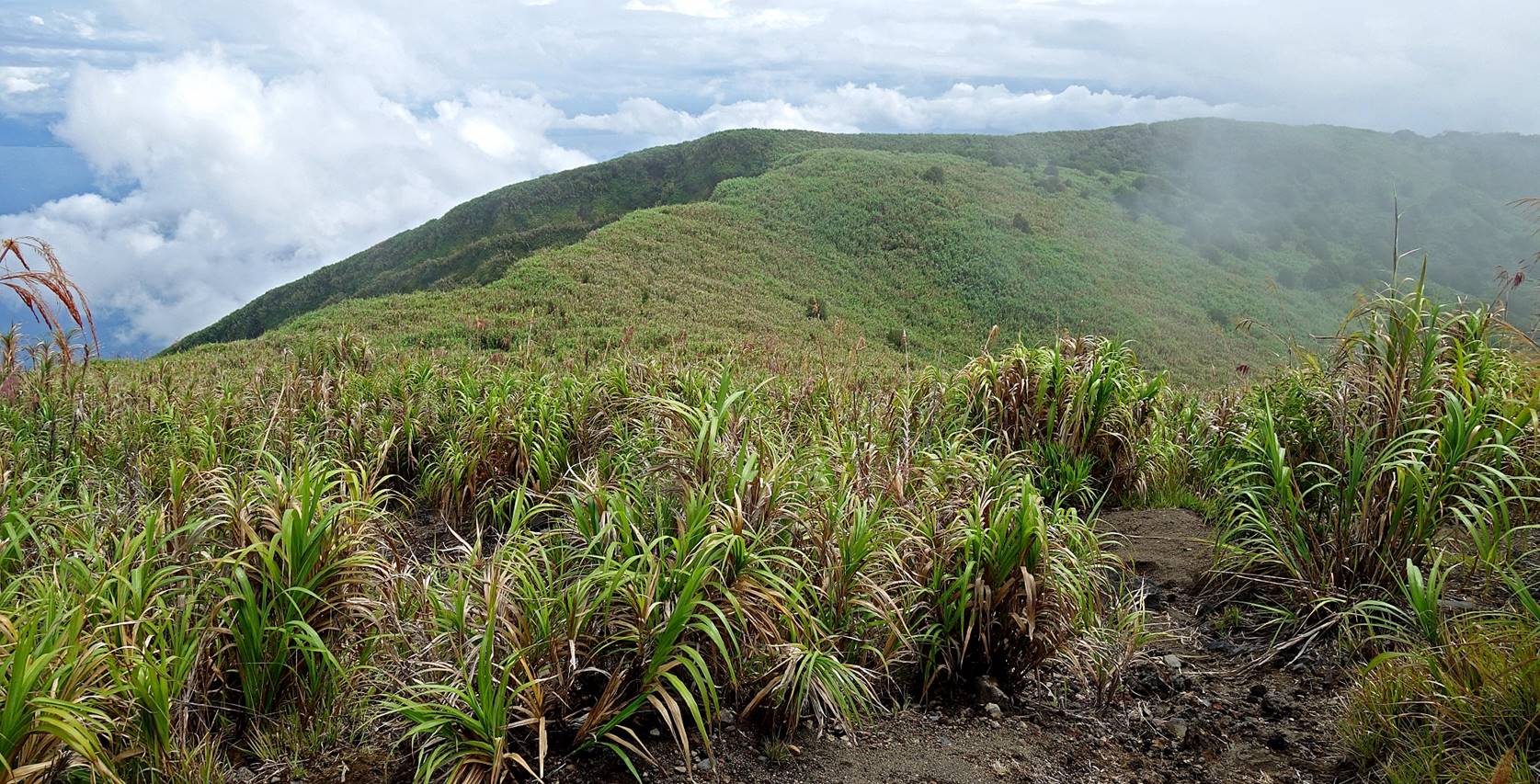
At about 1550m, the trail leaves the
forest to enter an area of high cane grass, which forms a sort of tunnel (see
above photo on the right). The trail then becomes less steep and follows a long
ridge toward the summit cone. The cane grass gets progressively smaller, but
the trail also gets less and less obvious, a potential issue during a descent
without enough visibility.
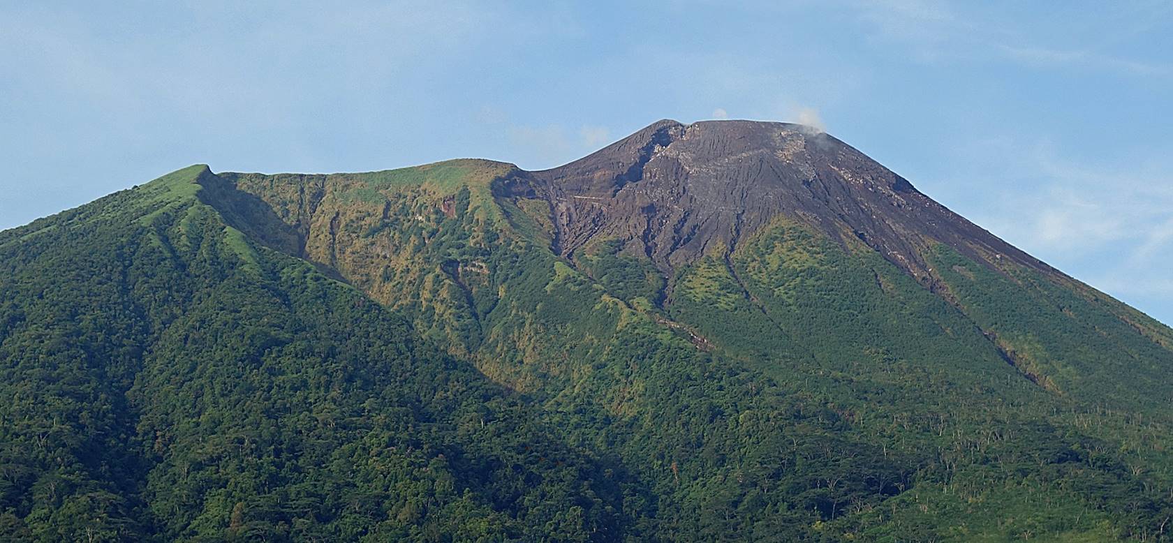
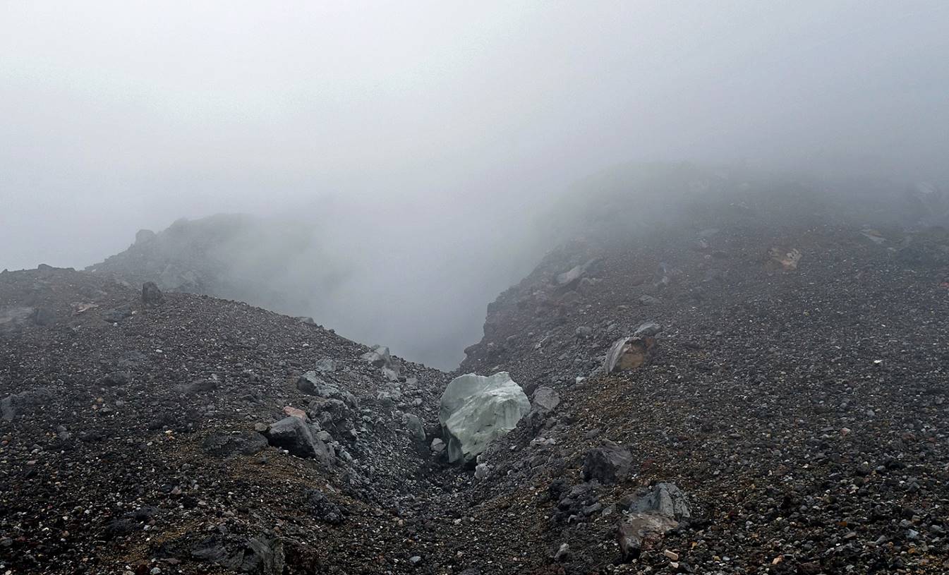
The final cone of Gamalama,
surrounded by a lava and ash area void of vegetation.
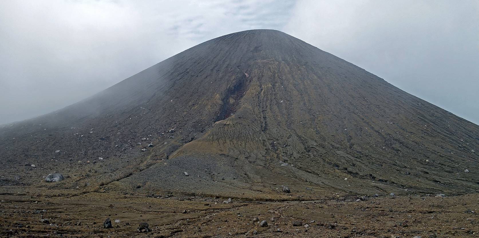
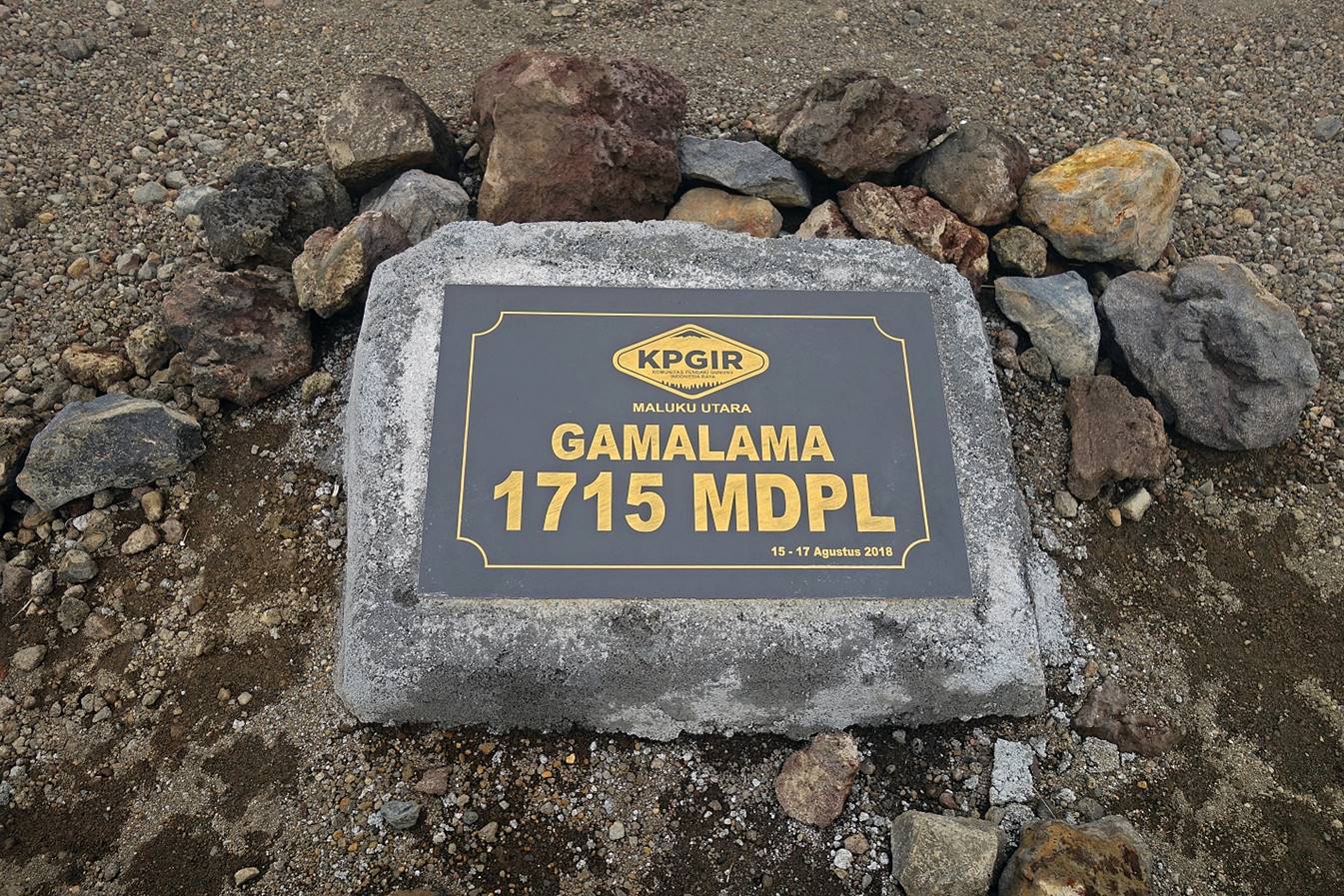
Marker at the base of the
cone, about 100m lower than the 1715m summit.
Iki and I started the
ascent of the cone, but the wind was blowing sulfur gases toward us. The
mixture of these gases with clouds was quite uncomfortable. My eyes and nose
got irritated. So, around 1650m we decided to turn around and return.
Start of the descent
with little visibility.
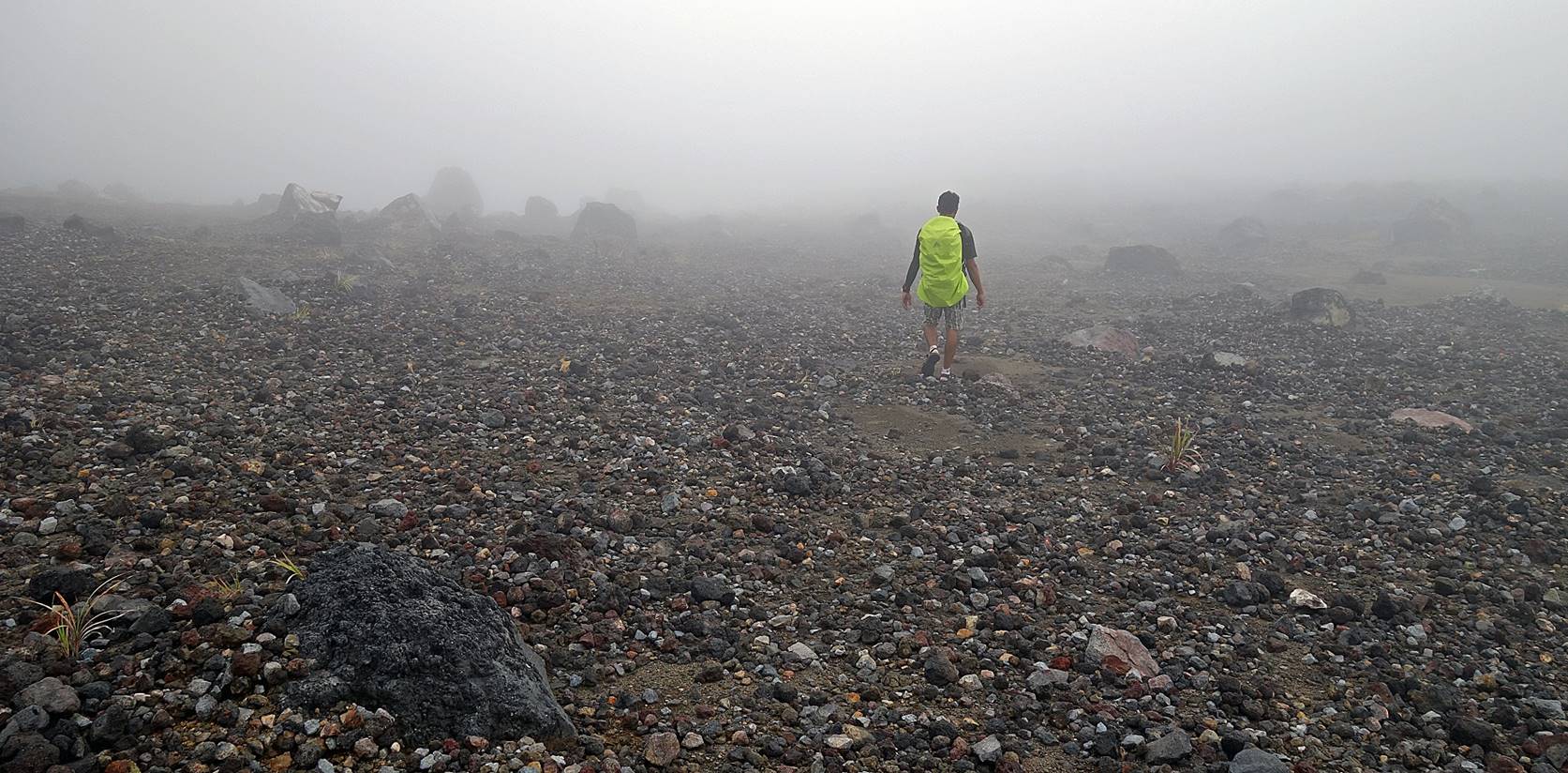
Reaching the forest below the cane grass area, the beginning of the long steep
descent back to the Moya trailhead, a 1200m drop in elevation.
![]()
Back
to main Indonesia-2018 page | Back to my
mountaineering/trekking/travel webpage