Indonesia (December 2018): Day trip to Tidore
![]()
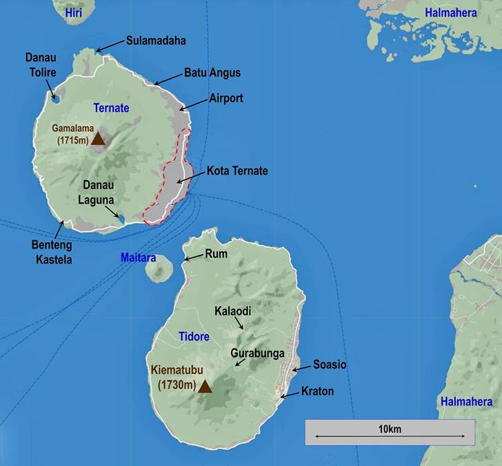
During my short stay in Ternate, I did a
day trip to Tidore. I now realize that Tidore deserves much more time, at least 3 days. In
particular its interior is more complex and interesting than that of Ternate,
with several highland villages and a number of potential day hikes, including
the ascent of the Kiematubu volcano (1730m). The
interior of Tidore is populated by descendants of the
original inhabitants, while the people living in the coastal areas of both
Ternate and Tidore have various origins, ranging from
local to other Indonesian islands (Java, Sumatra...).
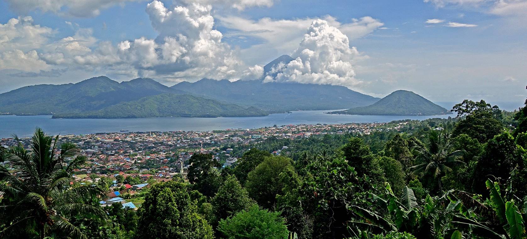
Views of Tidore
from Ternate. The high volcano is Kiematubu (Kie Matubu). The small conic island on the right of the first
photo below is Maitara.
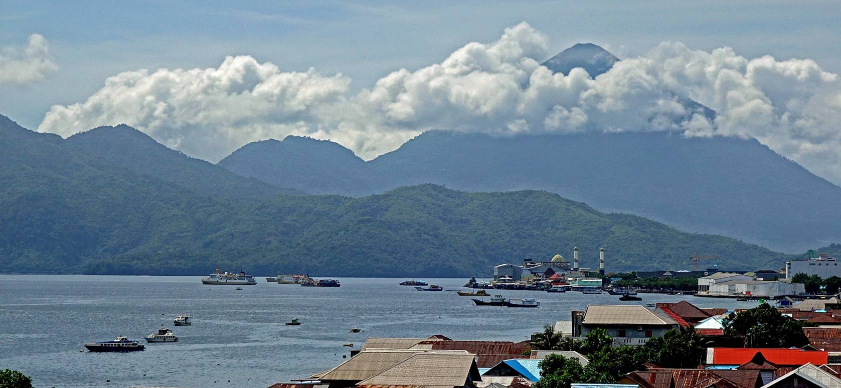
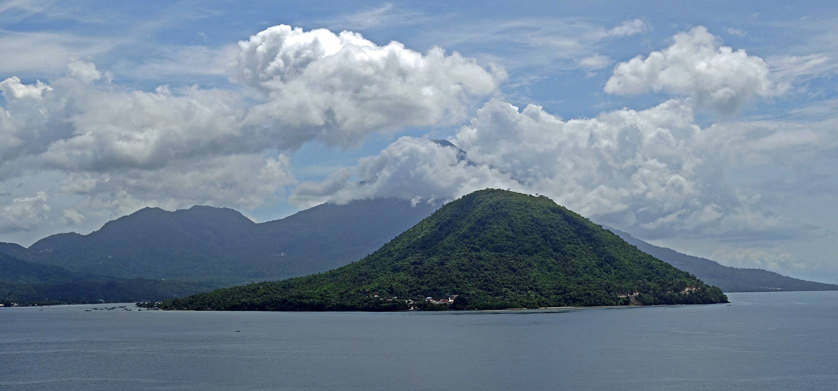
Another view of Tidore
and Maitara from the southern coast of Ternate.
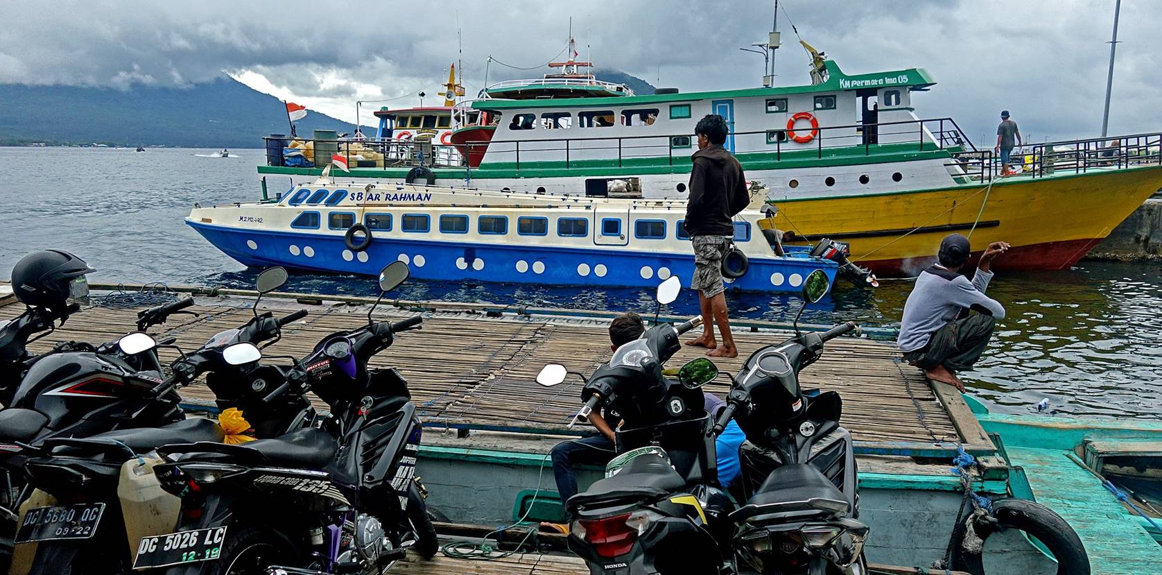
I went to Tidore
with my already favorite ojek driver, Caken, who had
driven me around Ternate during the previous days. There are several types of
boats that do the short traverse (~3km) between Pelabuhan Ferry Bastiong in Ternate and Rum in Tidore.
We took a relatively fast (20min for the traverse) and frequent one equipped
with a flat deck to carry motorbikes.
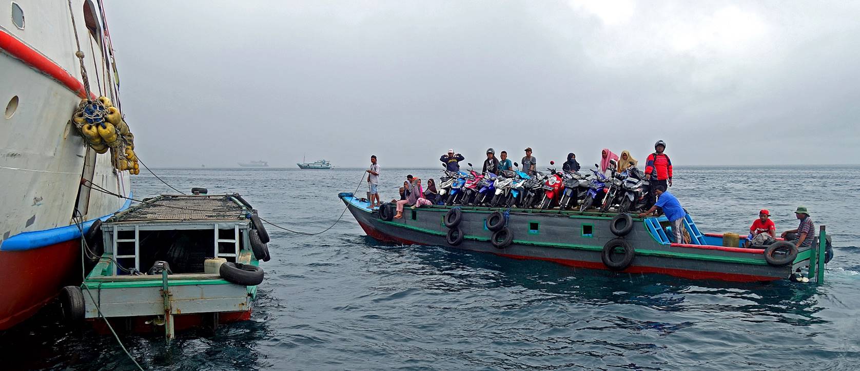
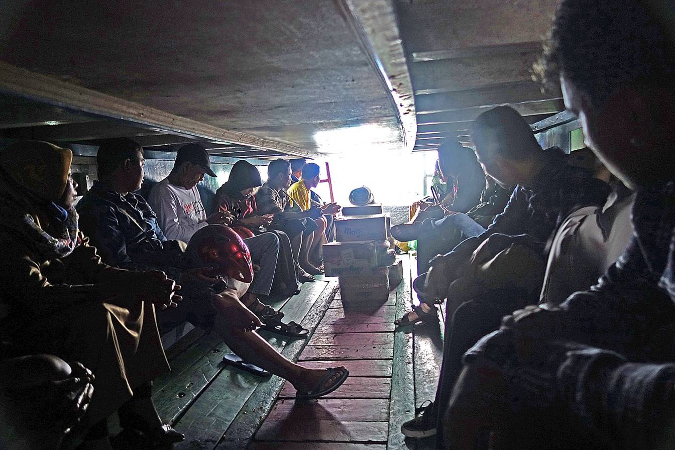
Normally, most passengers stay on the
deck with the motorbikes during the traverse (as in the previous photo). But,
as the rain started pouring, we all crawled in the low-ceiling space below the
deck. Better not to be claustrophobic.
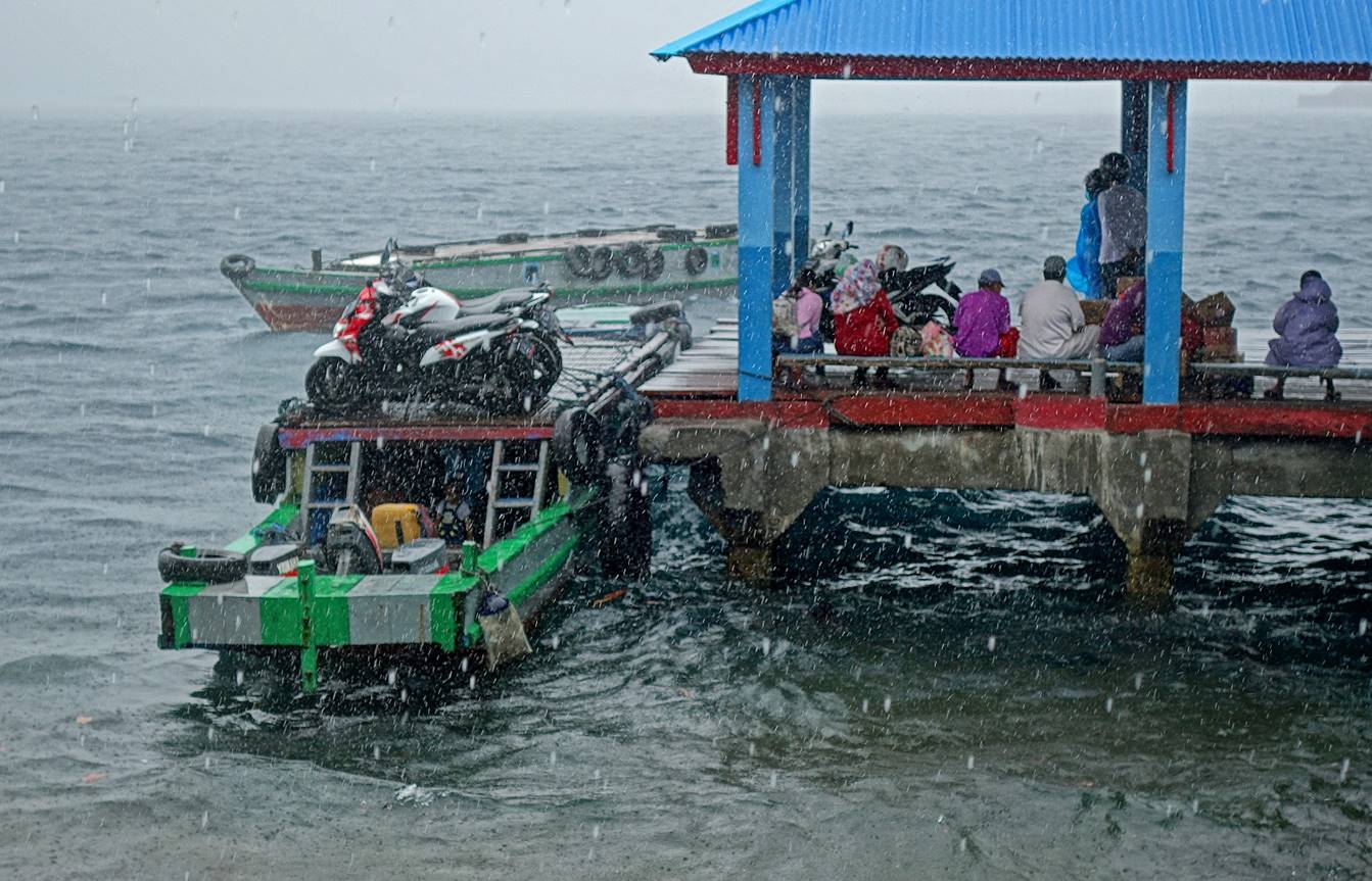
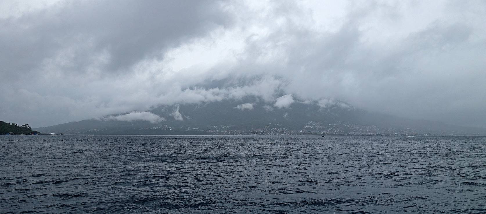
It was still raining heavily when we
reached Rum. Nearby Ternate could not be seen, and even closer Maitara was barely visible. So, like all the locals, we
waited for the rain to abate.
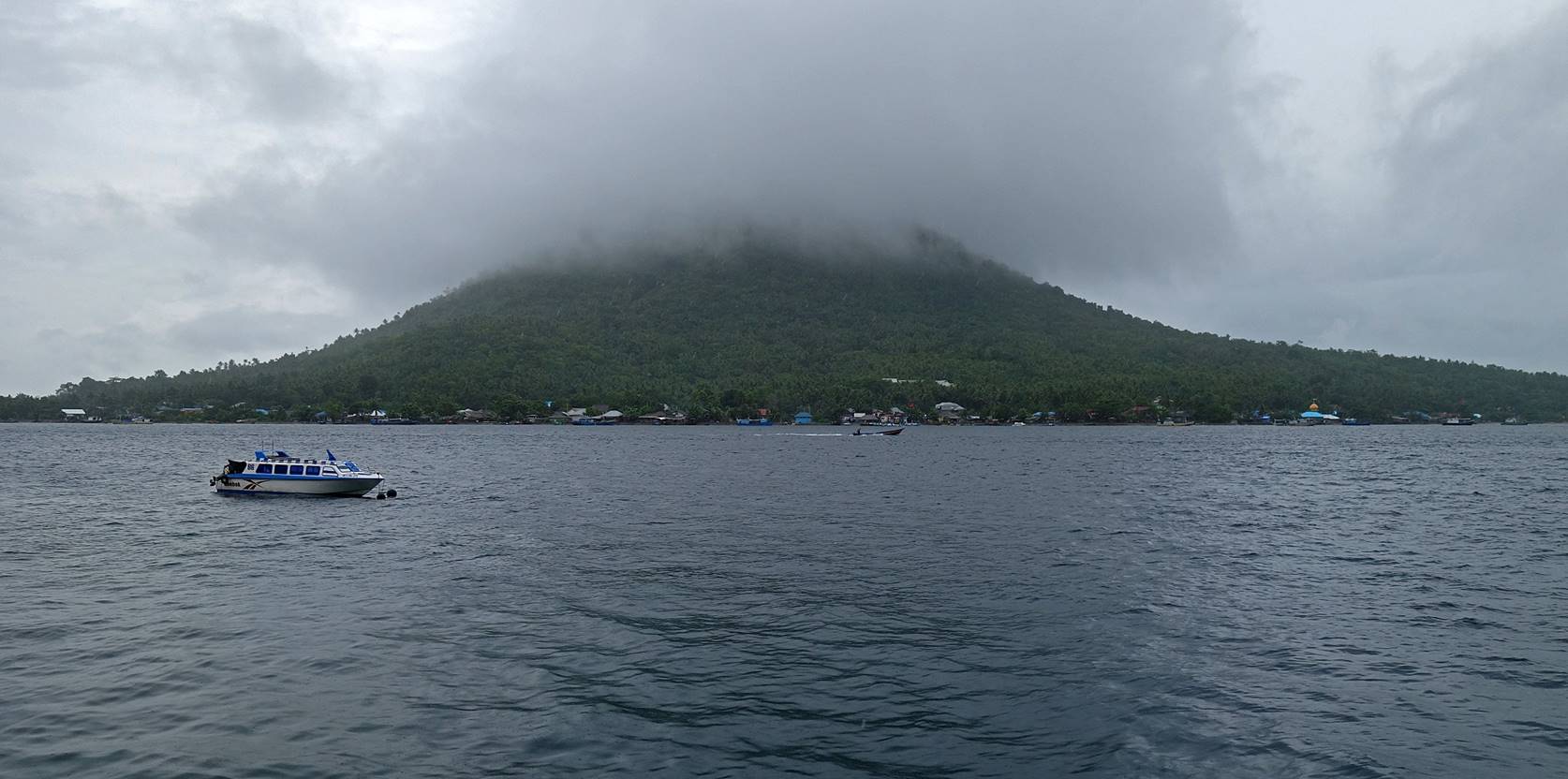
Views toward Ternate (first photo below)
and Maitara (second photo) some
time later.
Caken and I headed toward Soasio,
Tidore′s small capital located on the southeast
coast of the island, a 25km motorbike ride.
,
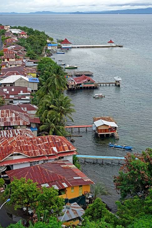
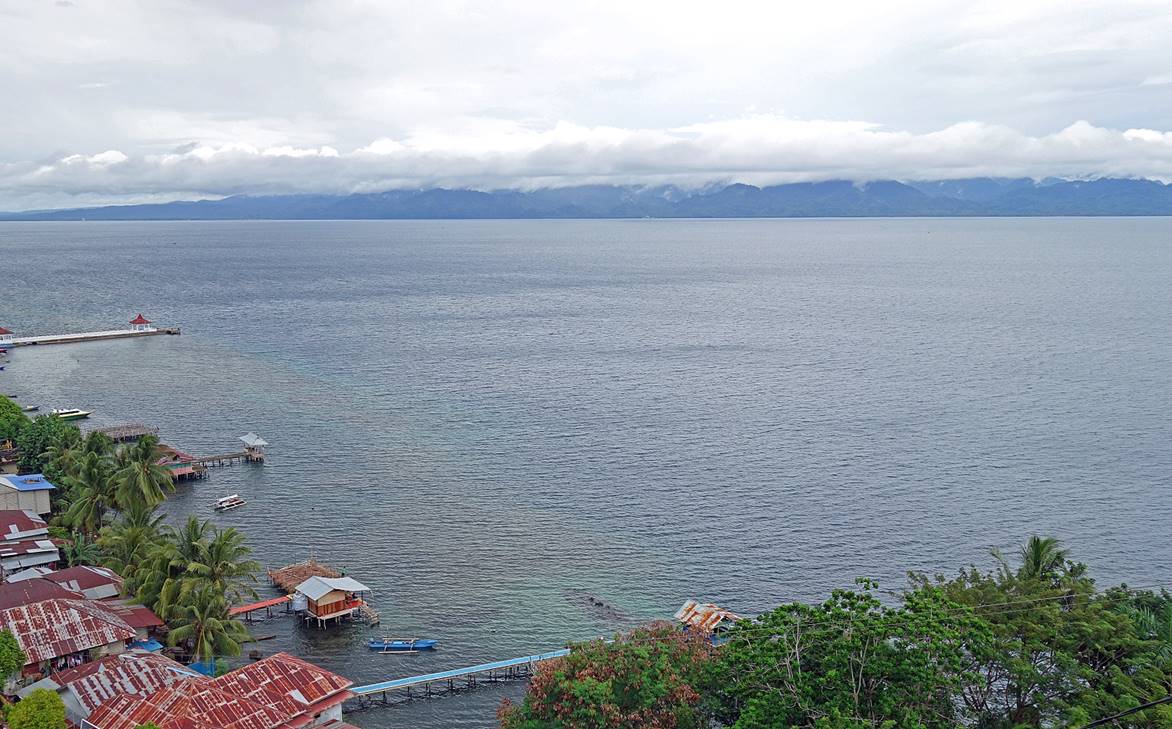
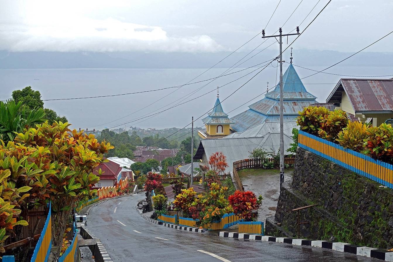
View of a portion of Soasio,
with the island of Halmahera in the background.
|
|
|
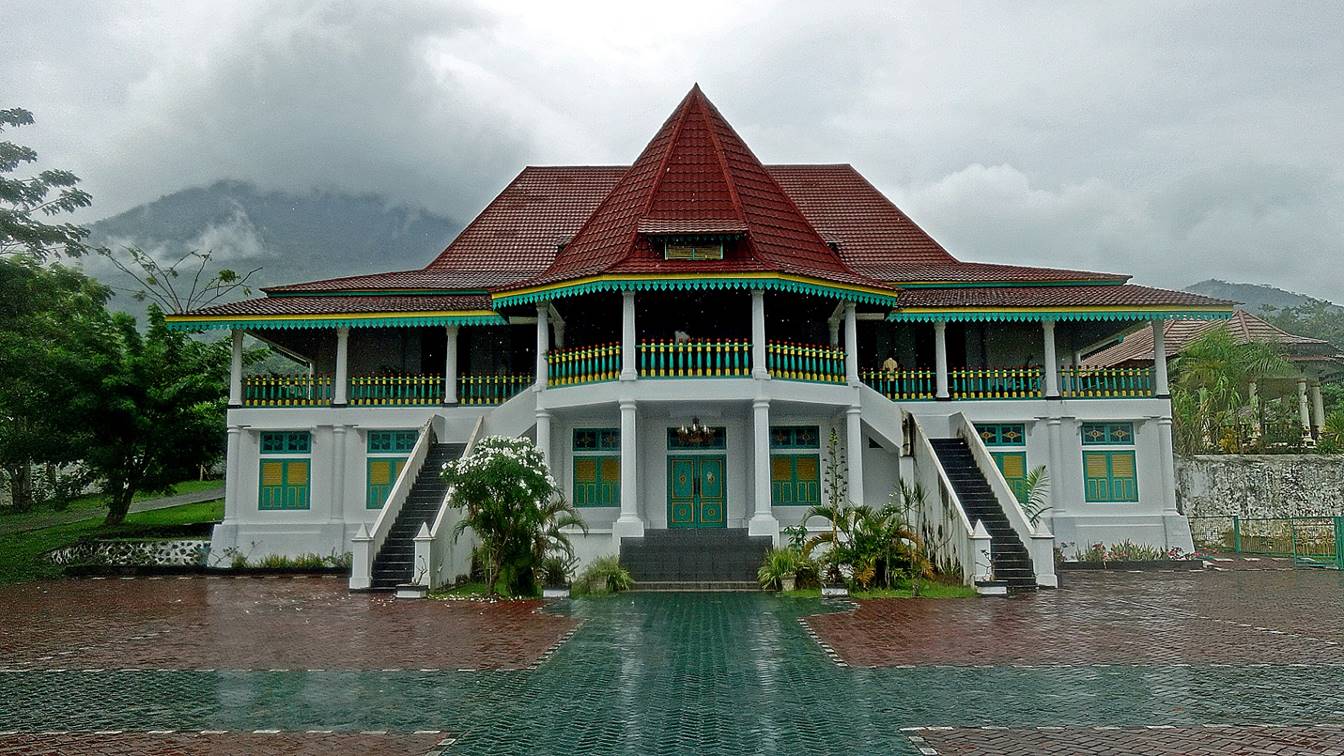
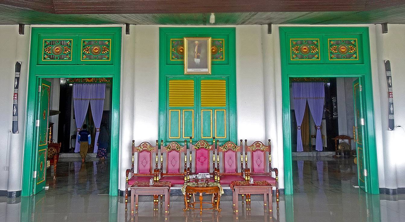
Kadato Kie, the Kraton
(Palace) of the Sultan of Tidore, located on the
south edge of Soasio.
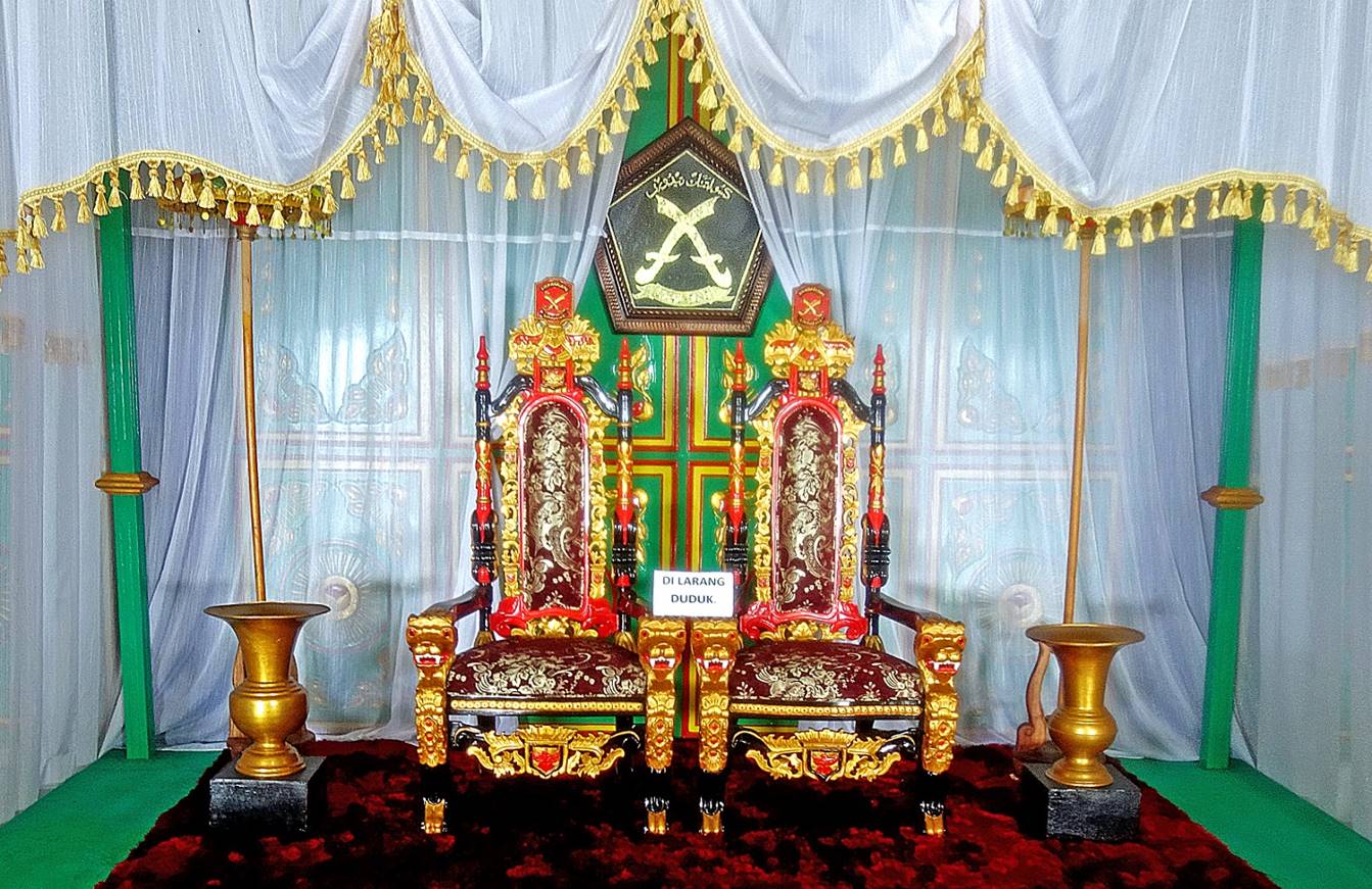
The throne of Tidore
Sultanate in the main ceremony room. Of course, ″di larang
duduk″ means ″forbidden to sit″.
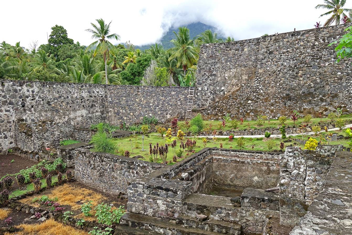
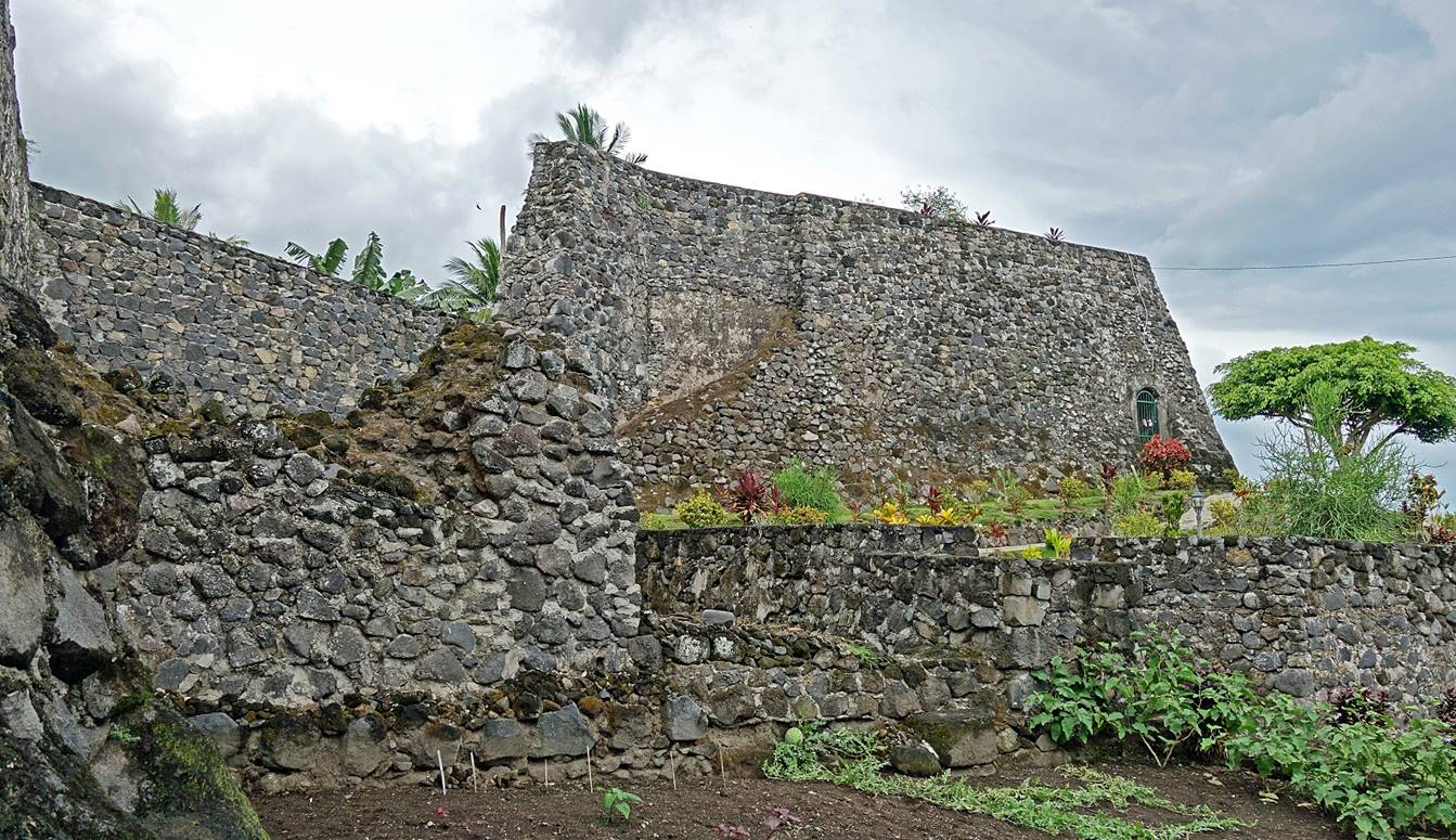
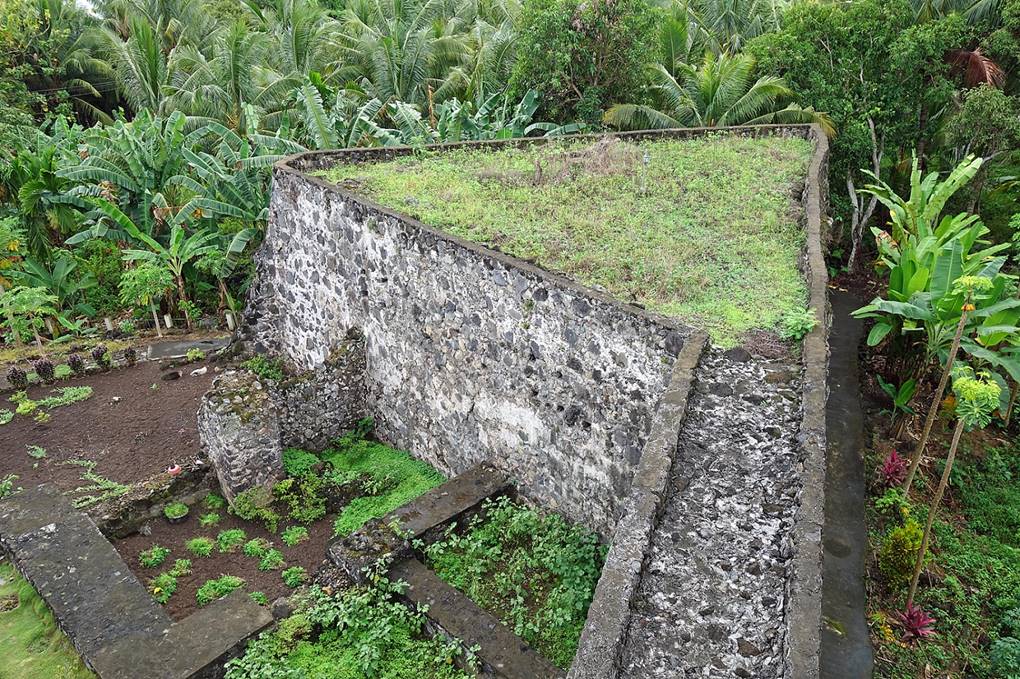
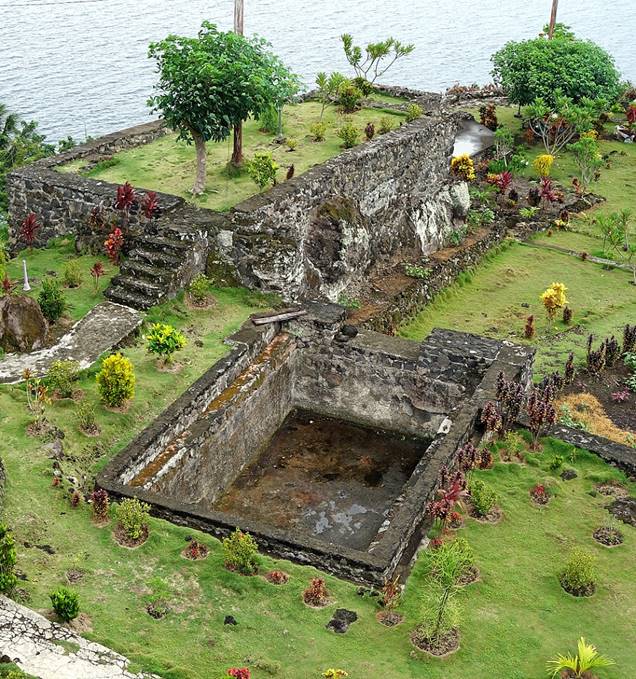
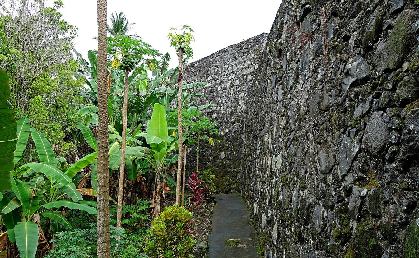
Benteng Tohula (Tahula), a Spanish fort built between 1610 and 1615 and
then called Santiago de los Caballeros de Tidore. The Spaniards use this fort until 1662. Later, in
the 18th century, the Dutch, who were then in power, wanted the fort to be
destroyed. Instead, the Sultan made it its residence. The fort is located about
200m south of the Kraton. Unlike the forts in
Ternate, Benteng Tohula is
neither crumbling nor over-restored.
|
|
|
Benteng Torre, a 16th-century fort built by the
Portuguese after they were expelled from Ternate for killing Sultan Hairun. (At that time, Ternate and Tidore
were often fighting each other, and the successive colonial powers, the
Portuguese, Spaniards, and Dutch, took advantage of this rivalry.) Benteng Torre is located on a hill a short distance from
the Kraton.
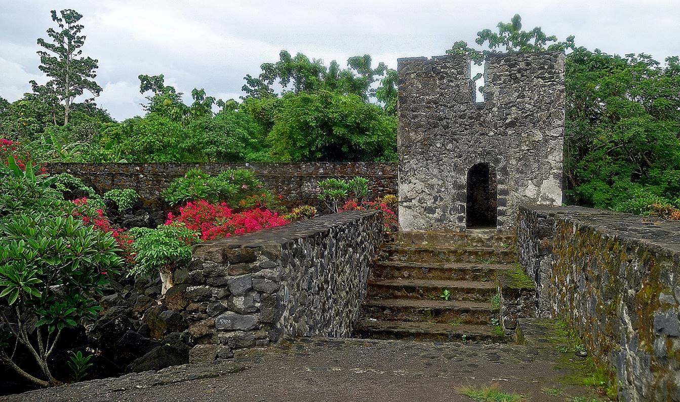
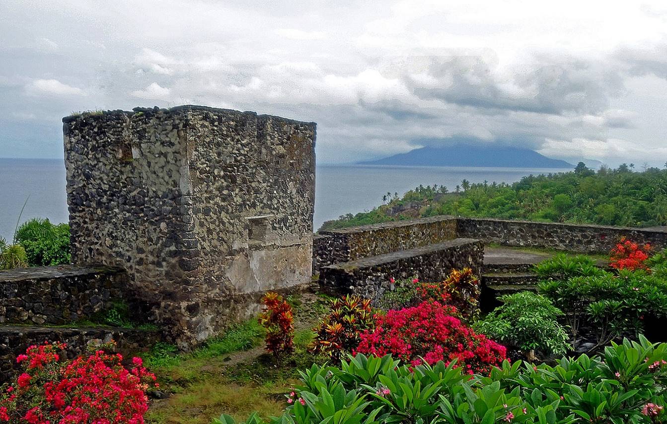
[The island visible in the background of this photo
is Mare.]
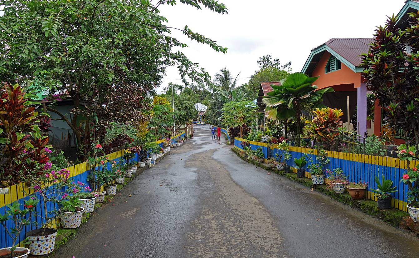
The villages of Tidore
are usually colorful and well-maintained, with manicured gardens. Unlike in
Ternate, several of them are located high above the sea on mountain slopes.
Gurabunga village.
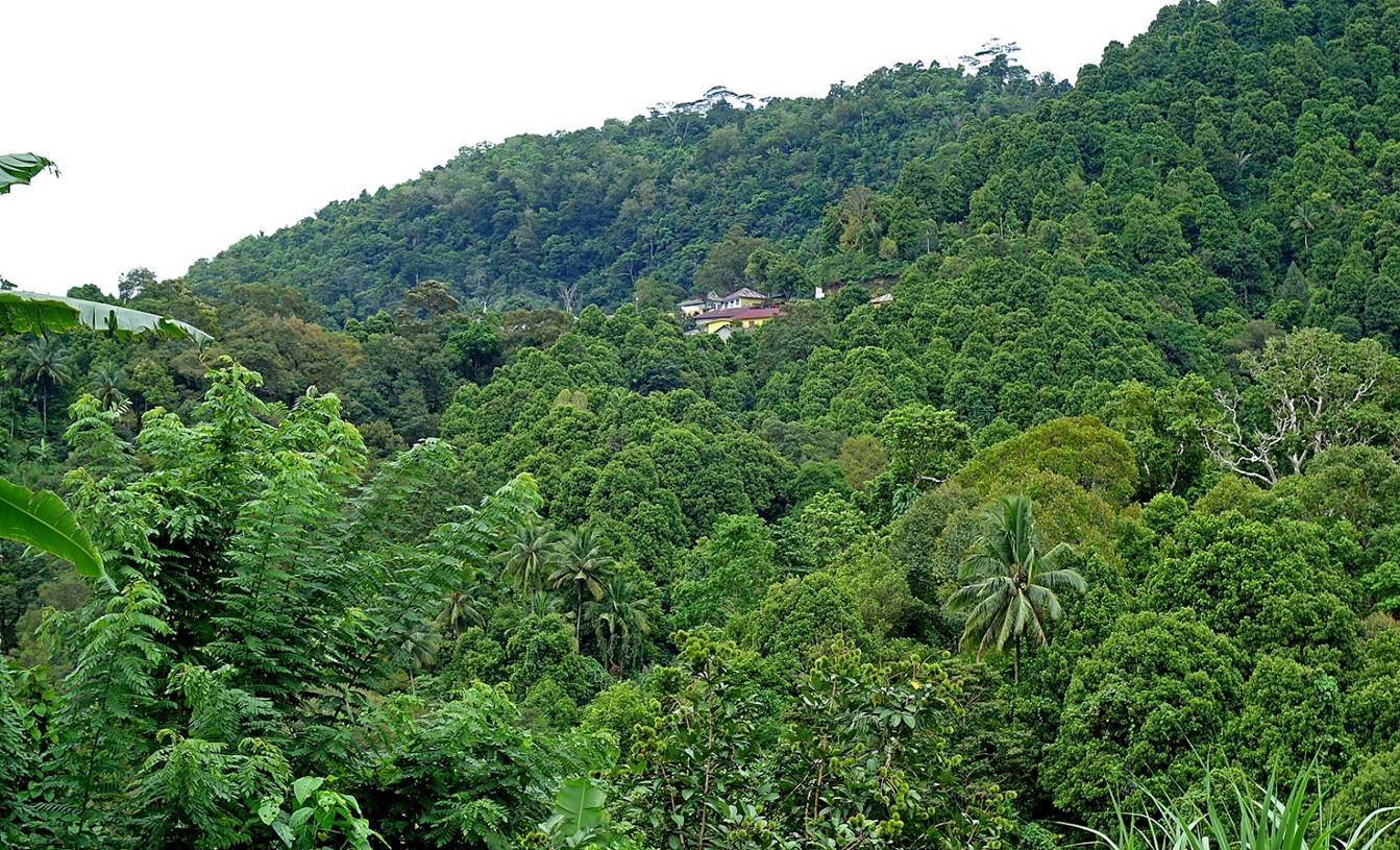
In Golili
hamlet, part of the Kalaodi village, located deep and
high in Tidore′s mountains.
Kola hamlet, another of the four hamlets
forming Kalaodi village, nested in the forest above Gilili.
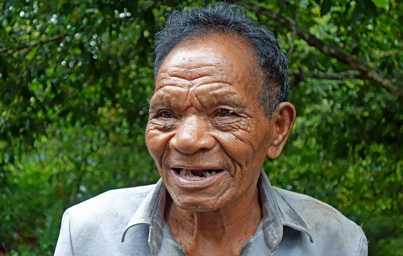
Man encountered along a road in the
mountain.
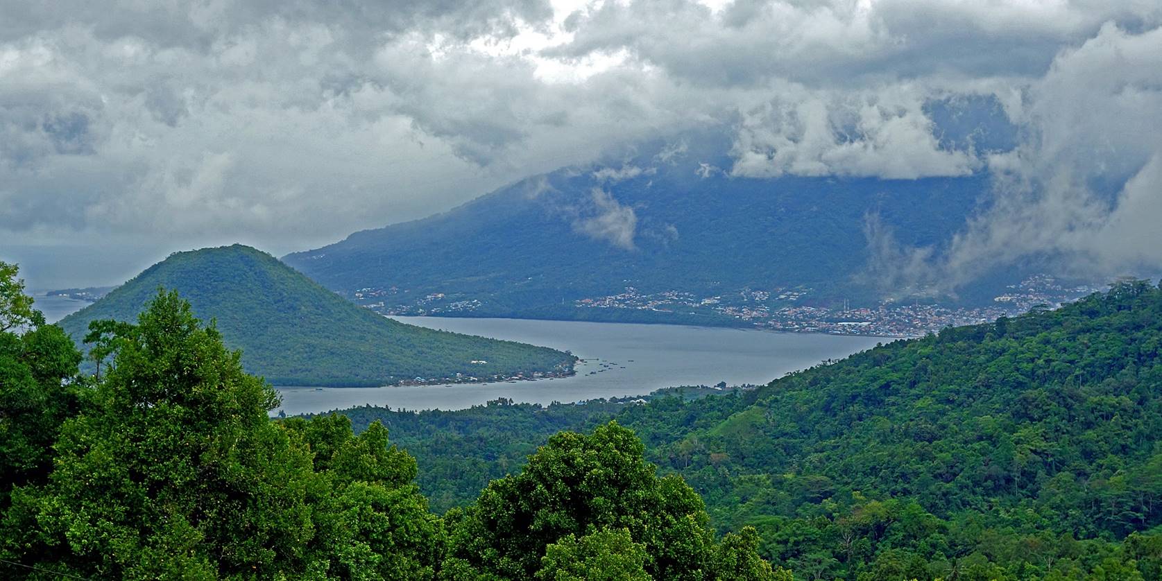
View over Maitara
(island on the left) and Ternate (background) from the Kola hamlet.
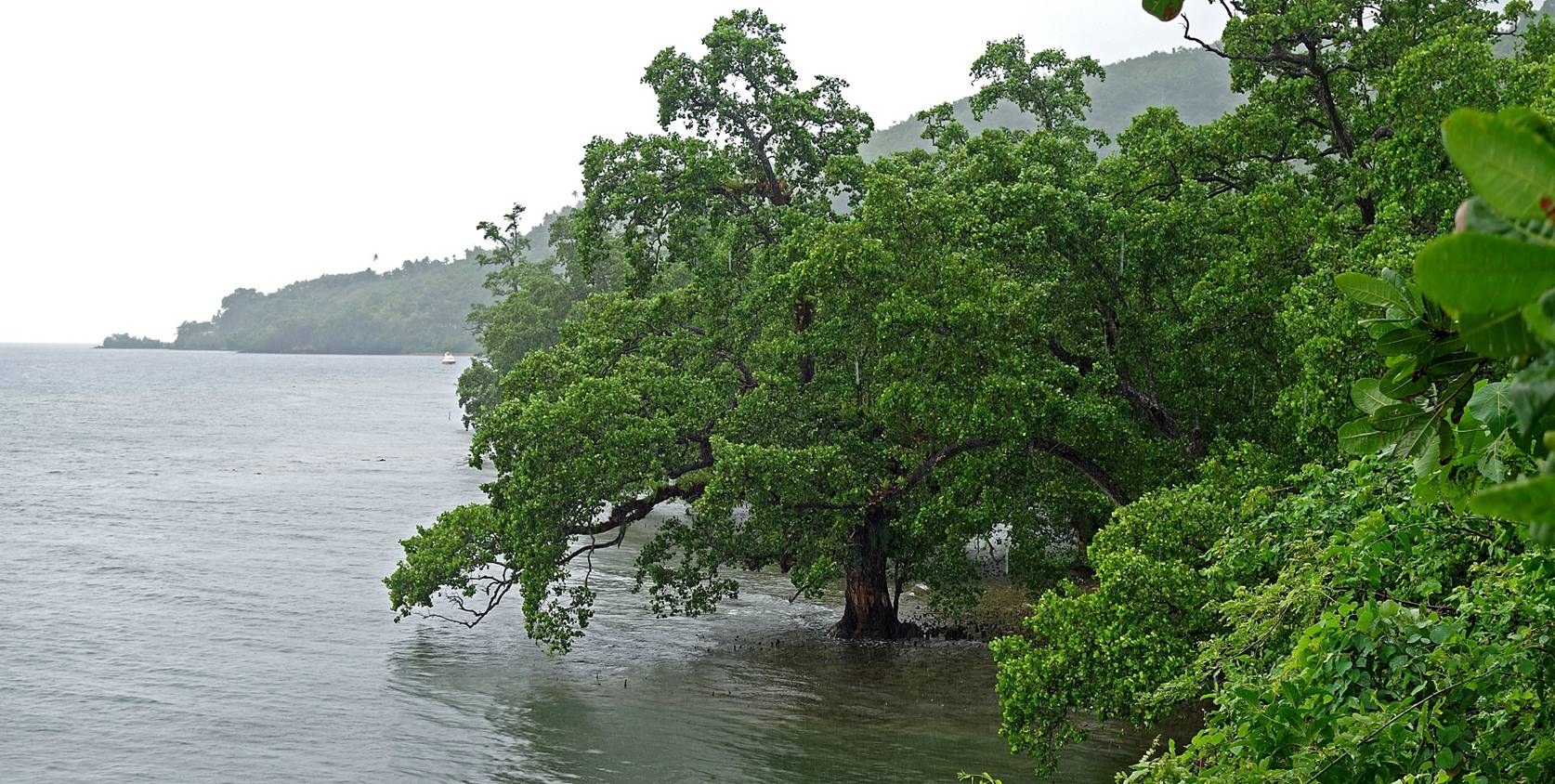
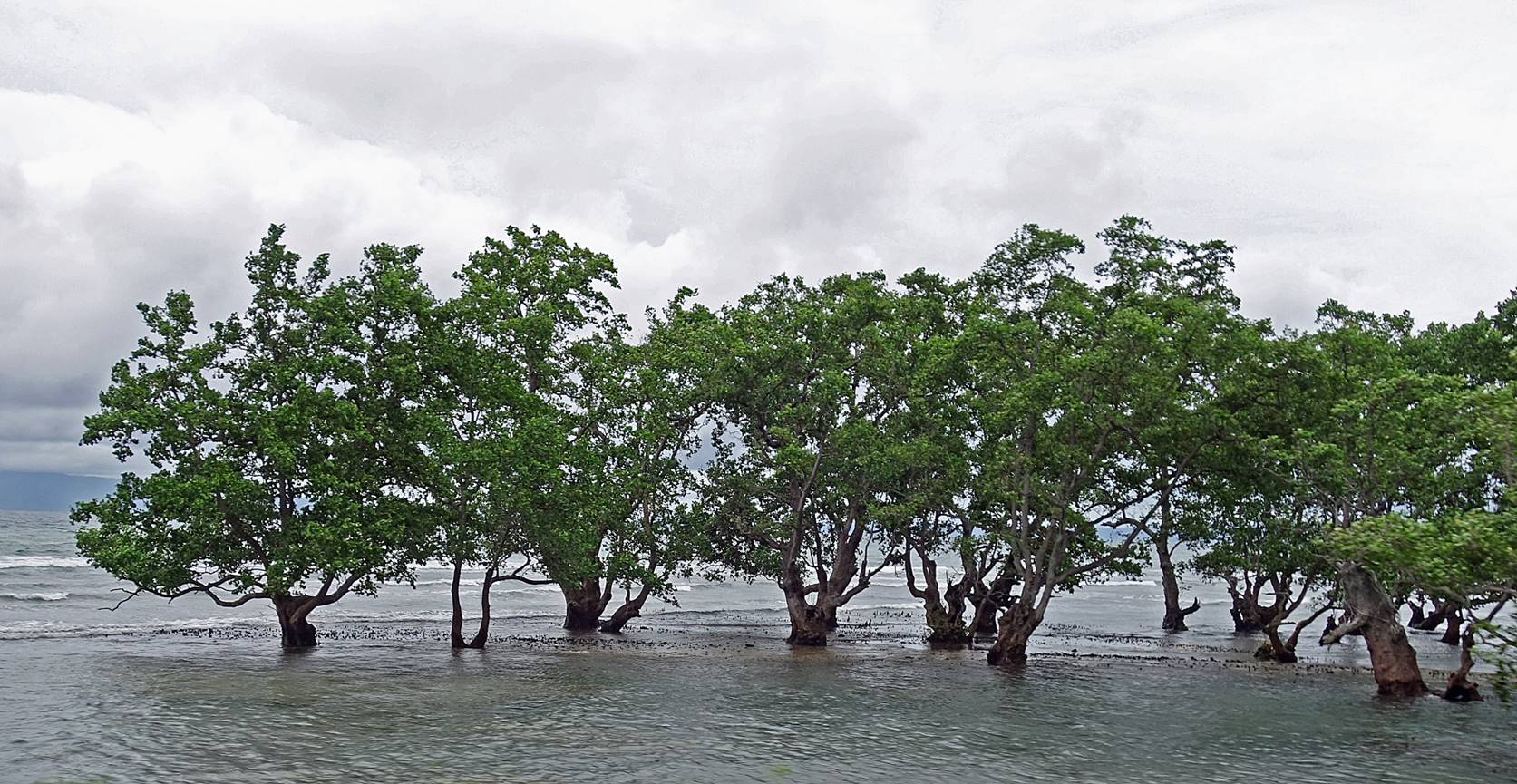
Trees in the sea along the northern
coast of Tidore.
Caken and I returned late to Rum. The last
ferry of the day was scheduled to leave to Ternate half an hour later. As it is
more comfortable than the small boat we took in the morning (but slower and not
as frequent) we took the ferry.
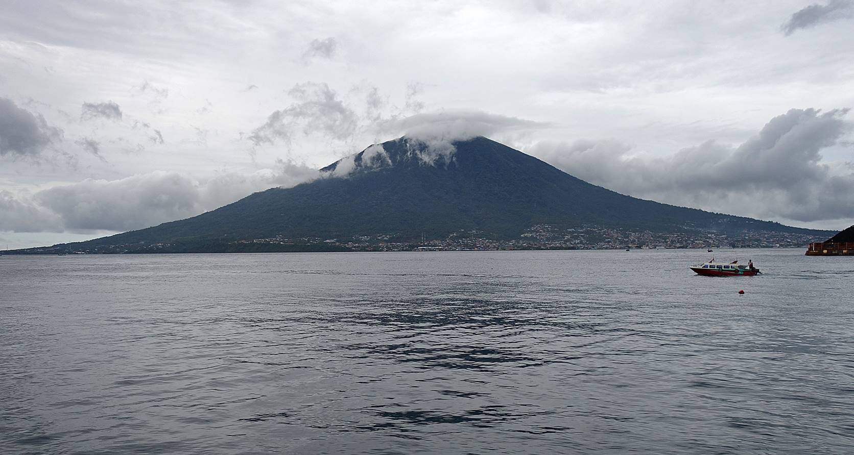
View of Ternate from Rum.
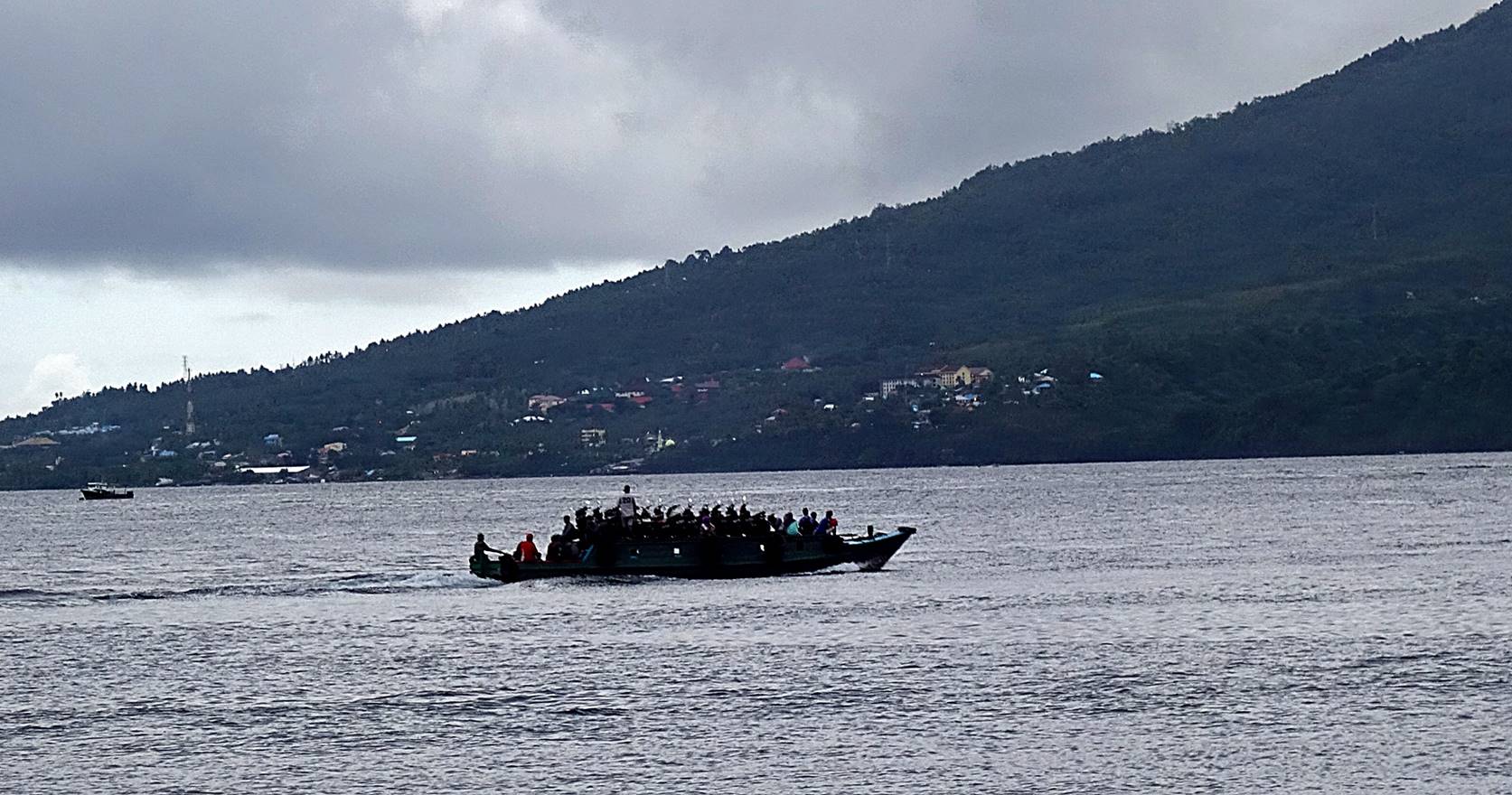
A faster boat heading to Ternate with
its cargo of motorbikes.
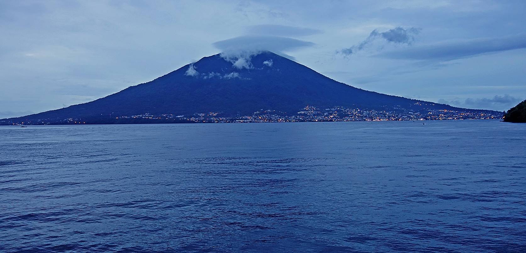
View of Ternate from the ferry.
![]()