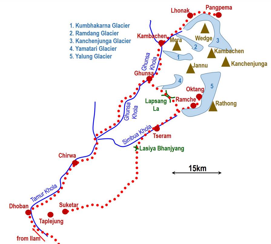
Nepal:
Kanchenjunga Trek (April 1994)
![]()
Return to my mountaineering/trekking/travel webpage
Kanchenjunga (8586m), the third highest mountain of the world, is
not just a peak, but a complex massif with a line of peaks above 8000m that lie
on the northeast border between Nepal and India (Sikkim). This trek took me
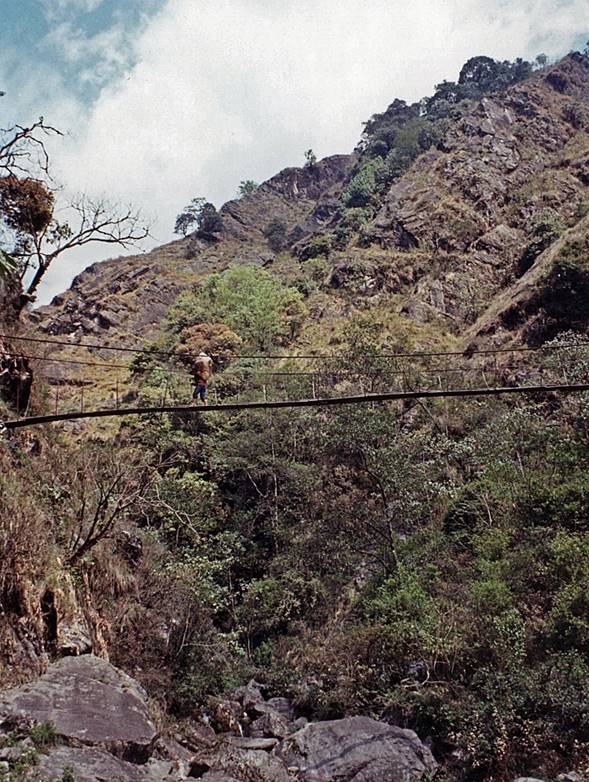
from Ilam, a small village north of Biratnagar in southeast Nepal, to Pamgpema (on the north side of Kanchenjunga), then to Oktang (on the south side base camp of Kanchenjunga), and
finally to Suketar, where I took a flight back to
Kathmandu.
Itinerary: Ilam - Dhoban - Chirwa - Ghunsa - Kambachen - Lhonak - Pangpema (5143m) - Ghunsa - Lapsang La (5110m) - Ramche
- Oktang (4730m) - Tseram -
Suketar.
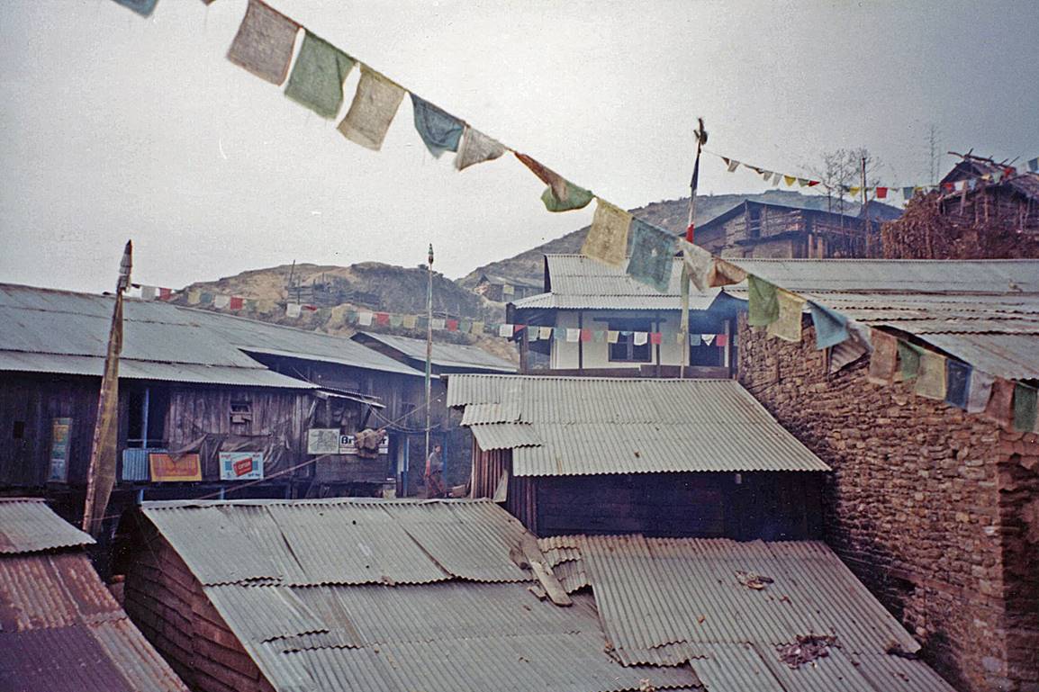
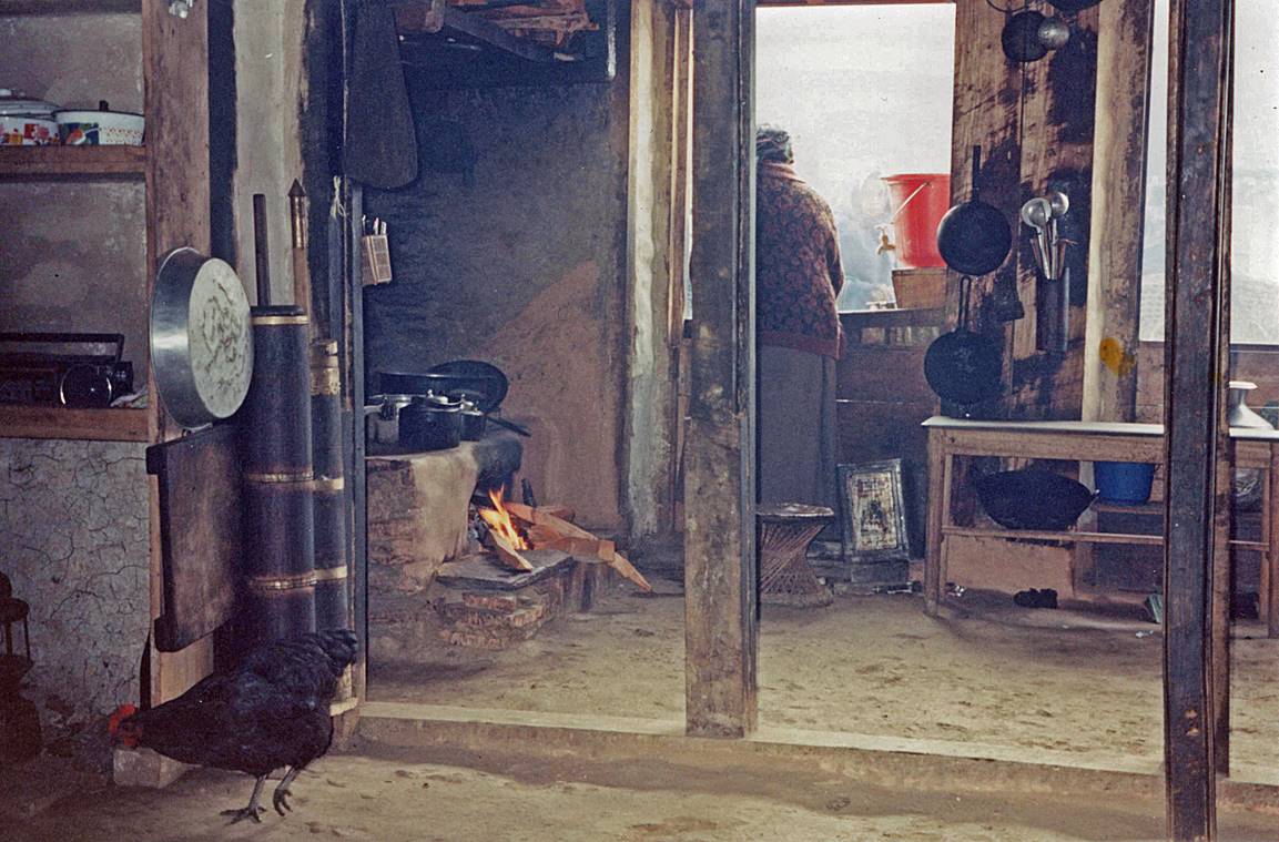
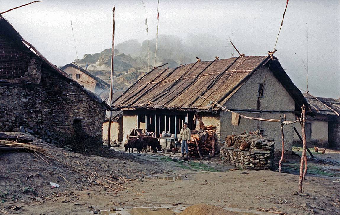
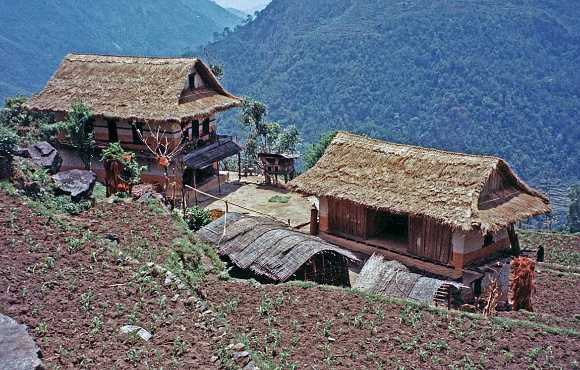
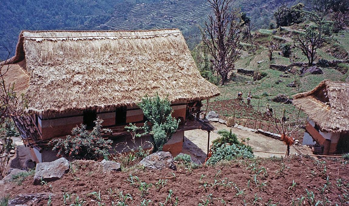
Houses and street in Ilam.
|
|
|
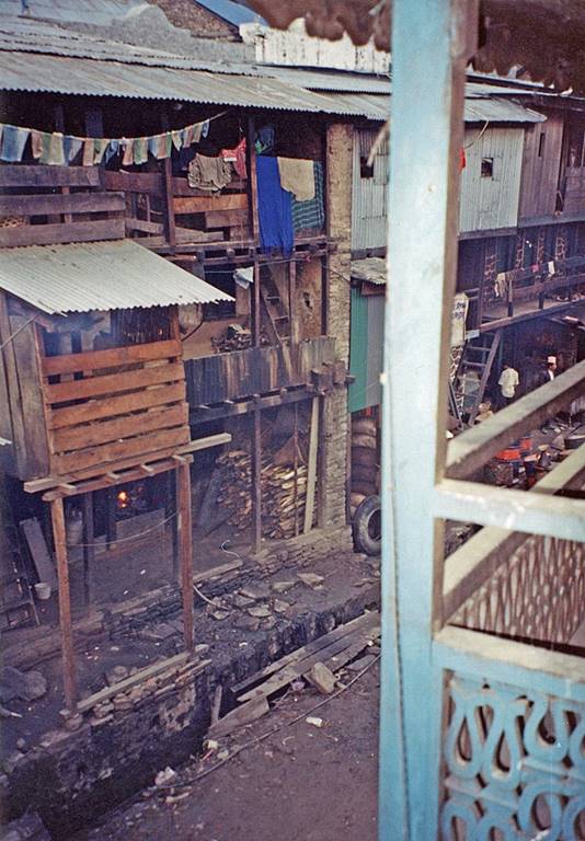
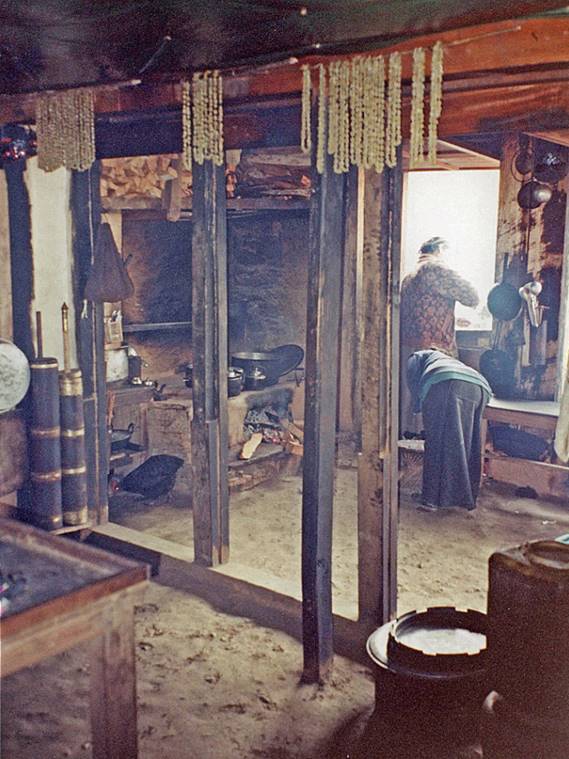
In a teahouse in Ilam.
|
|
|
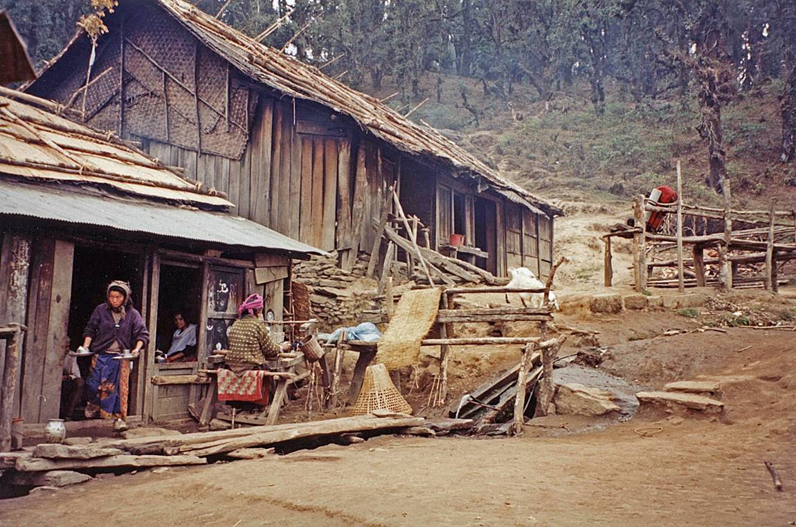
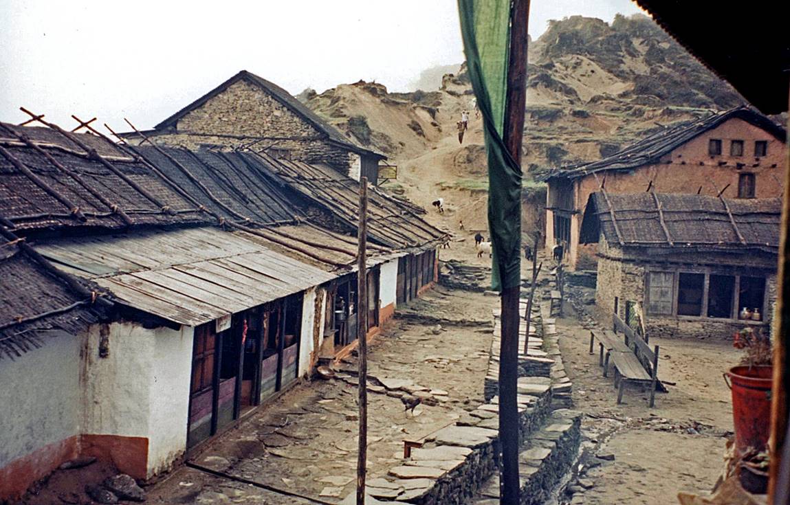
Villages between Ilam and Dhoban.
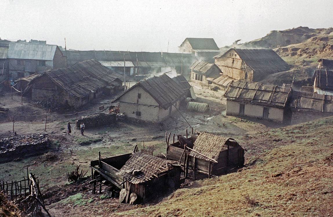
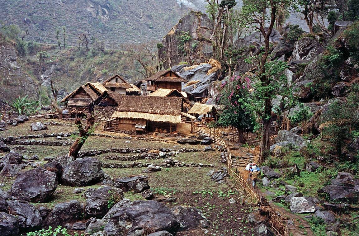
Chirwa.
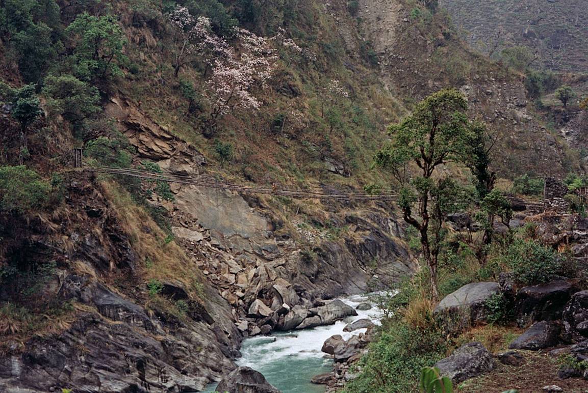
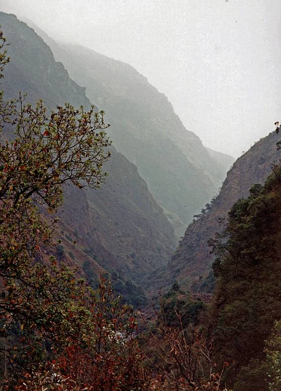
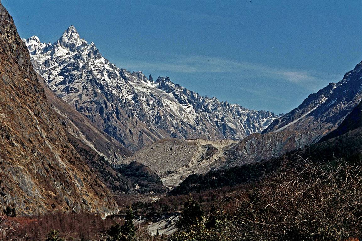
In the deep canyon of Ghunsa Khola between Chirwa and Ghunsa.
|
|
|
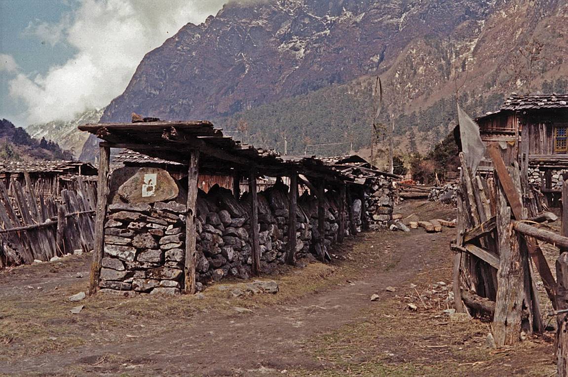
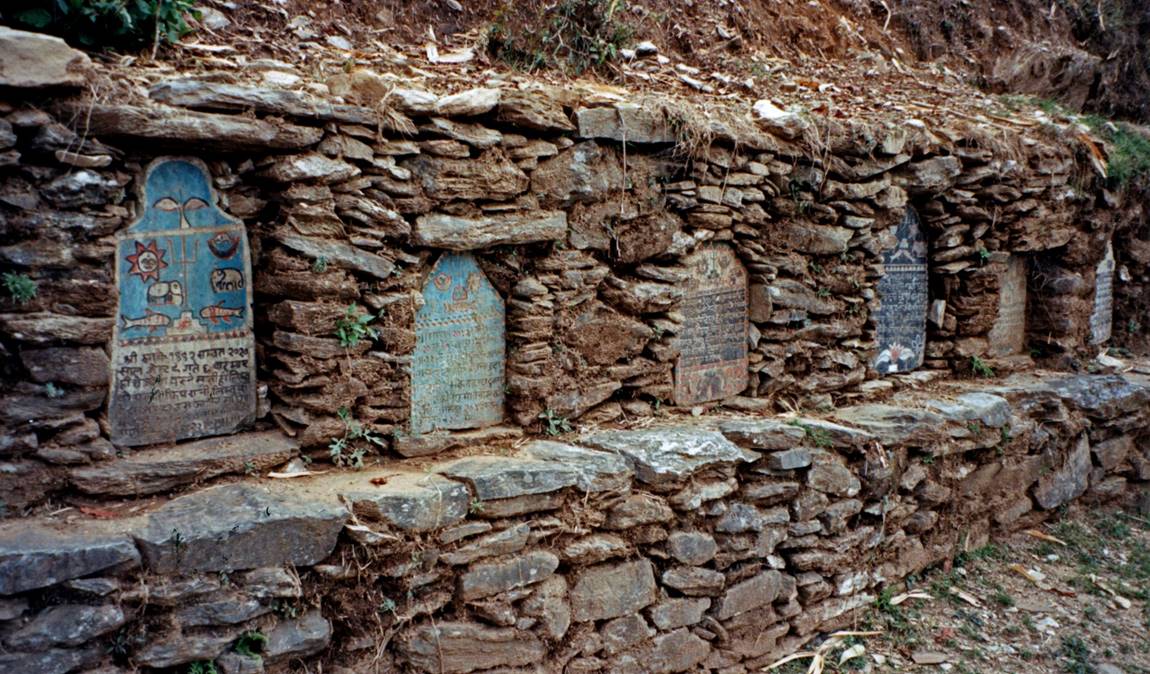
Mani wall in Ghunsa.
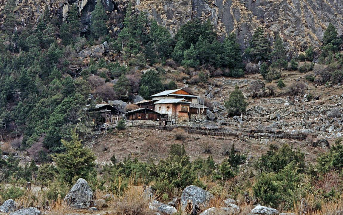
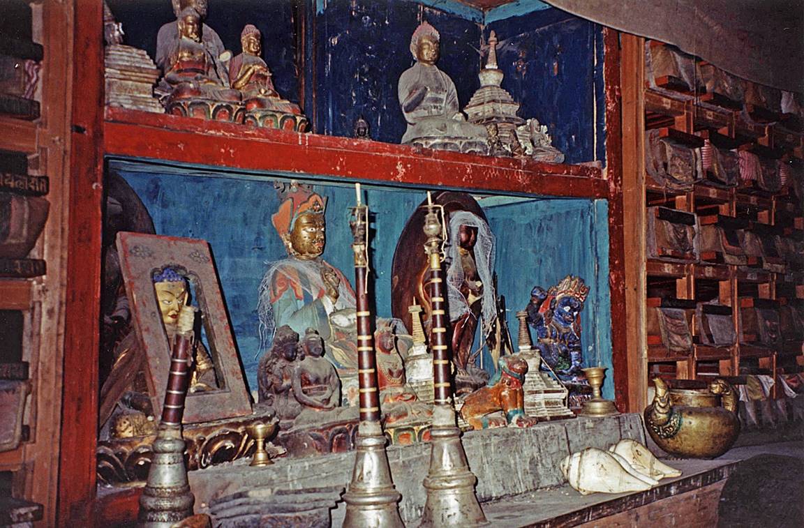
Gompa of Ghunsa.
In the valley of Ghunsa Khola, beyond Ghunsa.

At Kambachen.

From left to right: Jannu
(7710m), Sobi Thongje (6670m), and Pholesobi Thonje (6645m) viewed
over the Kumbhakarna glacier.
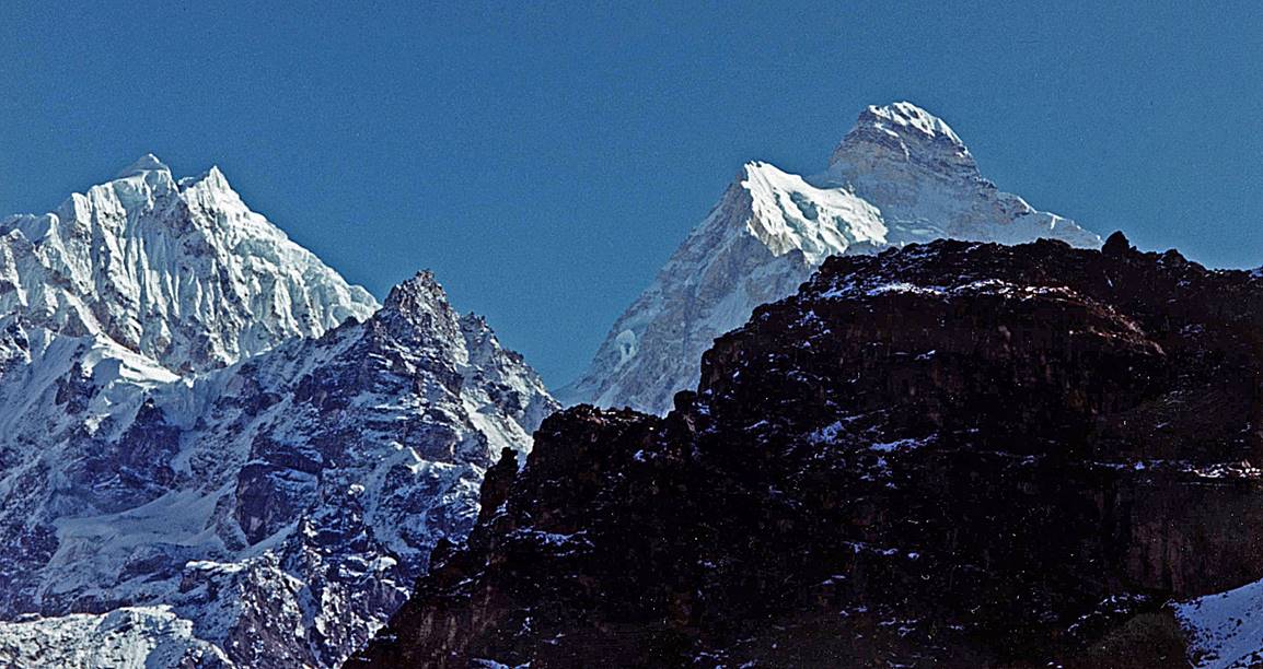
Other views of Jannu.
|
|
|
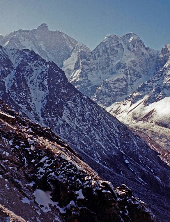
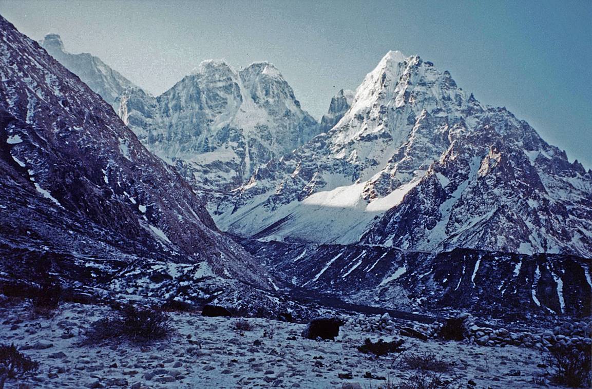
Between Kambachen and Lhonak:
- Mera peak (6364m).
- Kambachen peak (7802m) in the
background on the left. (Mera peak, not visible, is on the right of the
picture.)
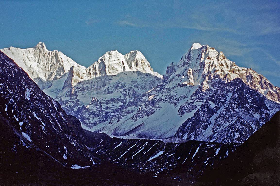
- Better view of Kambachen peak,
overlooking the Ramdang glacier.
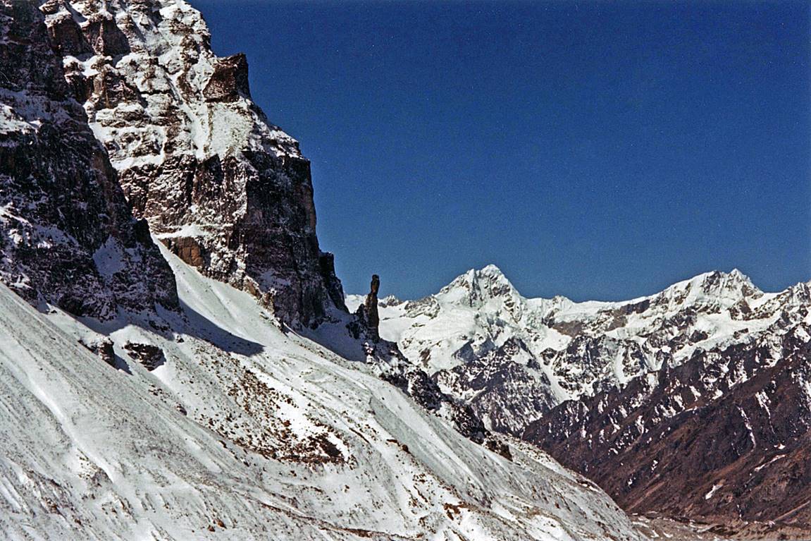
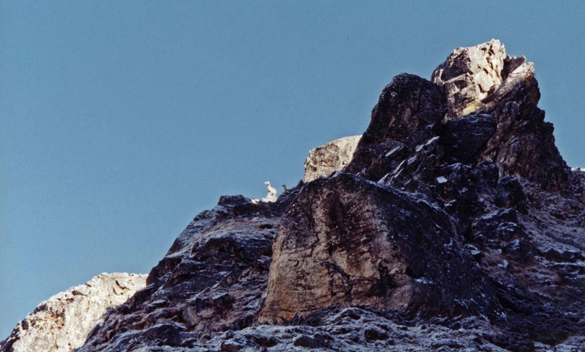
- Rock spire.
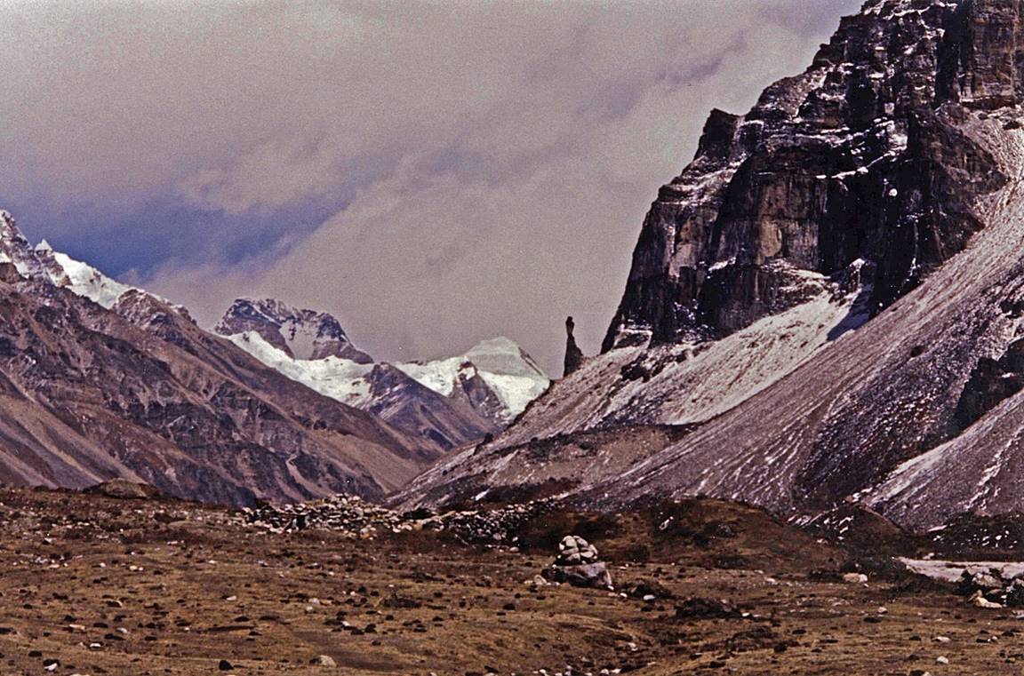
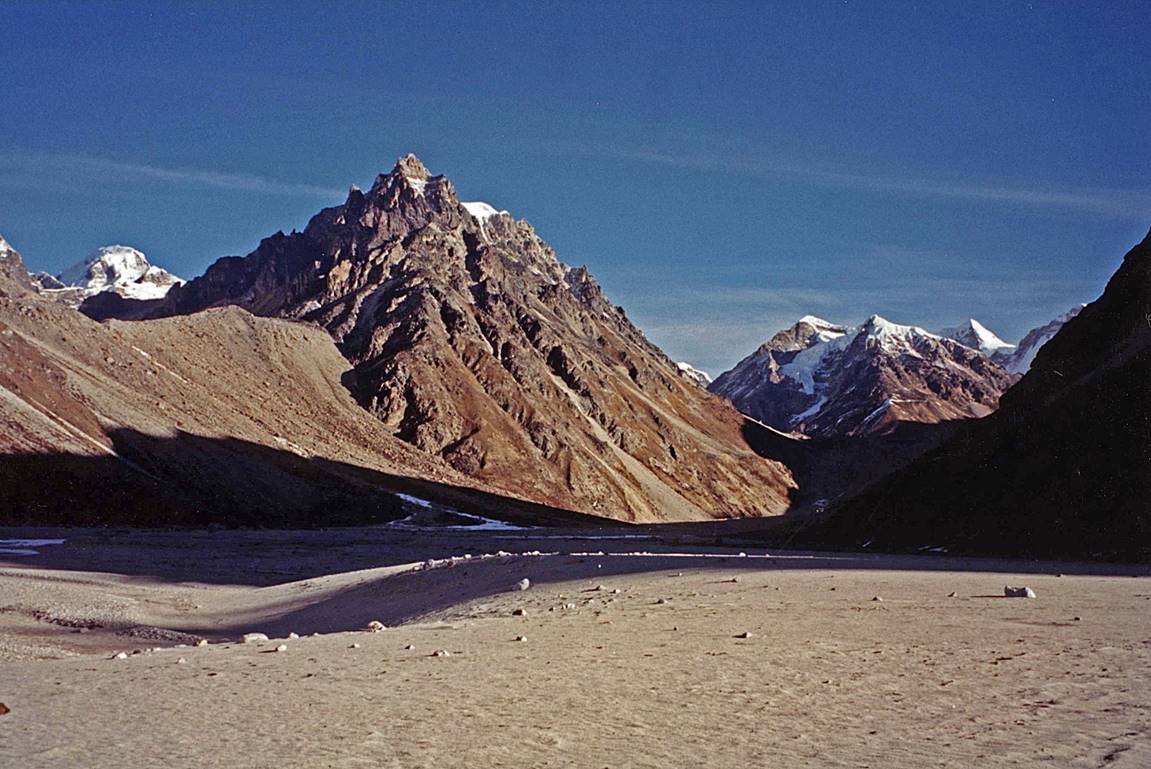
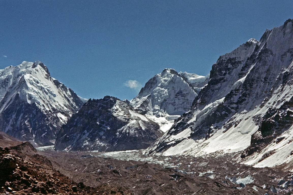
Reaching Lhonak.
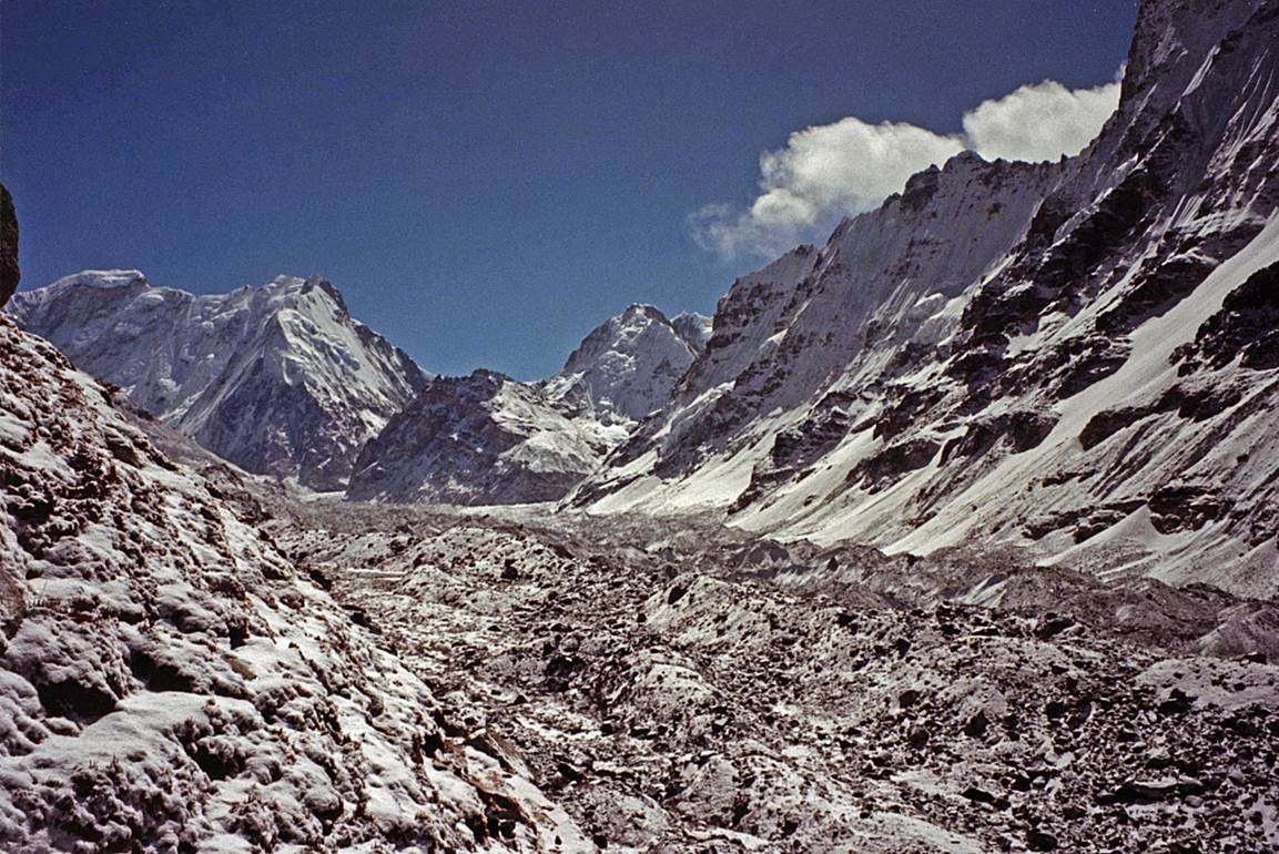
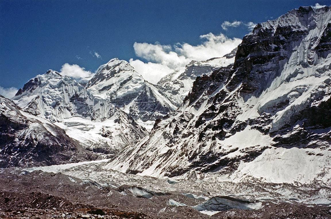
Along the Kanchenjunga glacier above Lhonak.
|
|
|
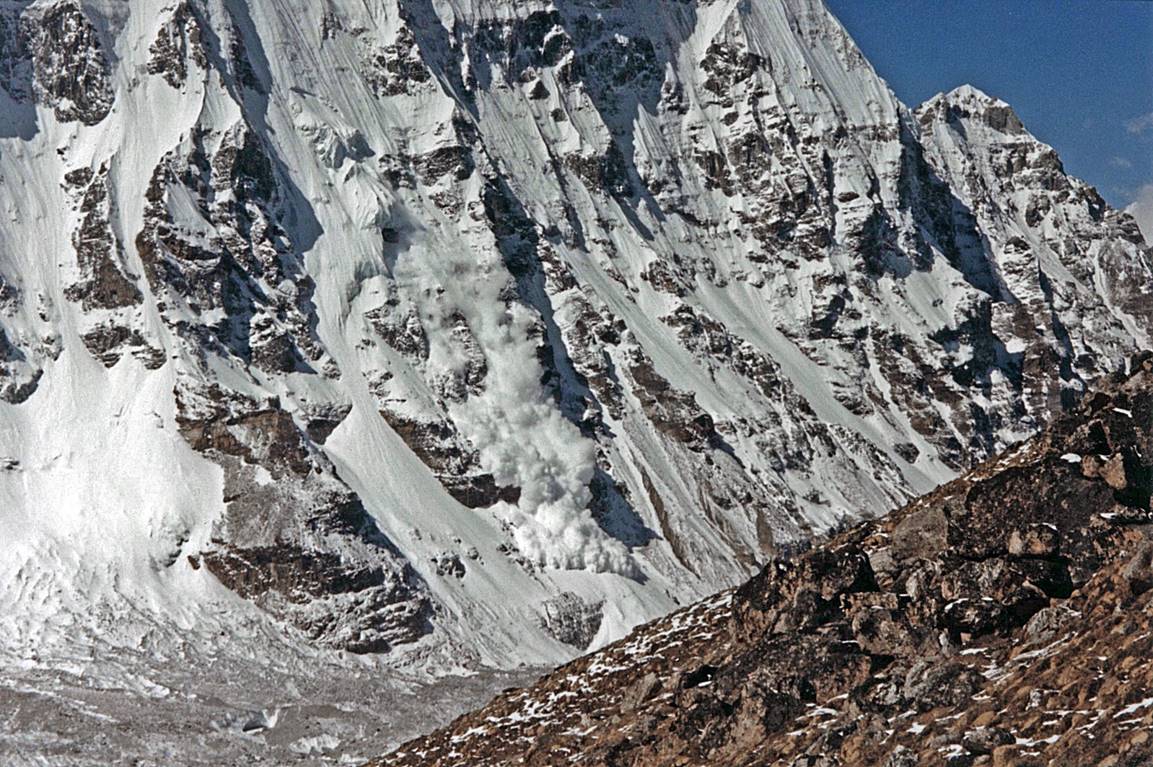
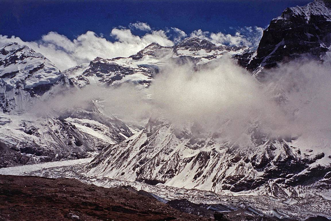
Avalanche on the opposite side of the
glacier.
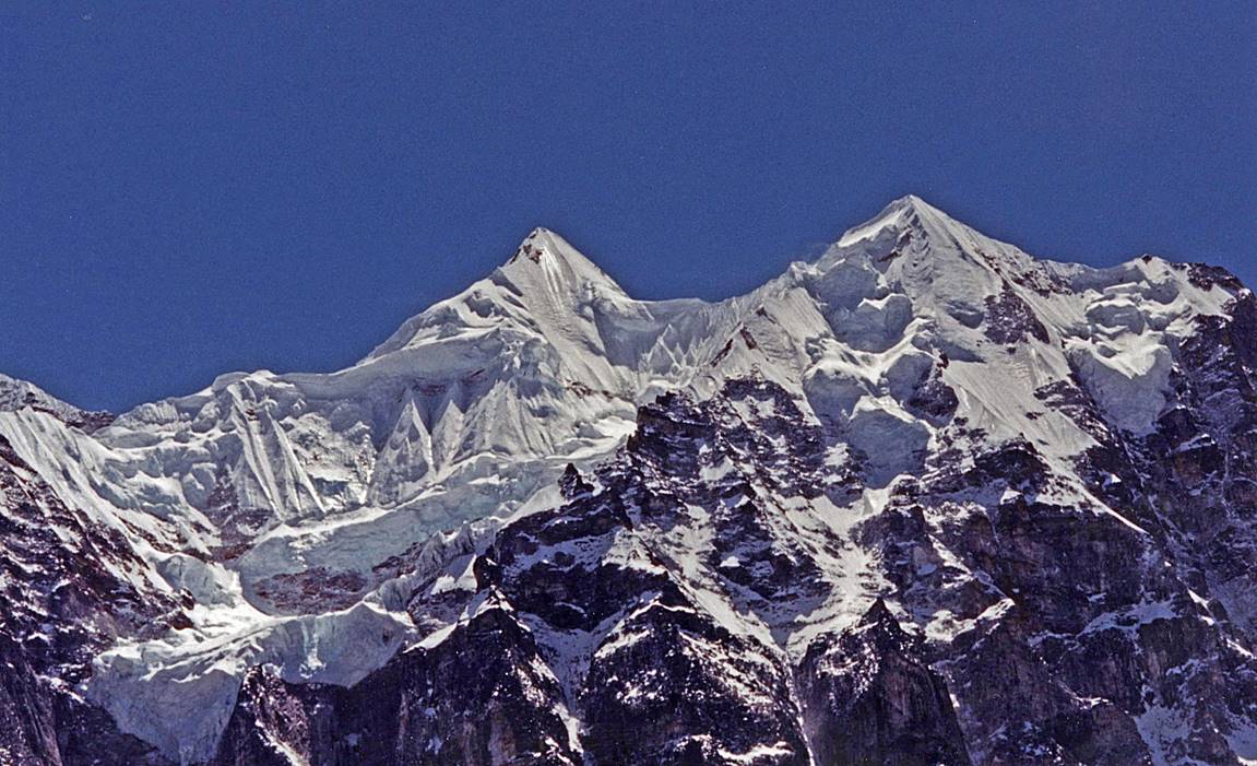
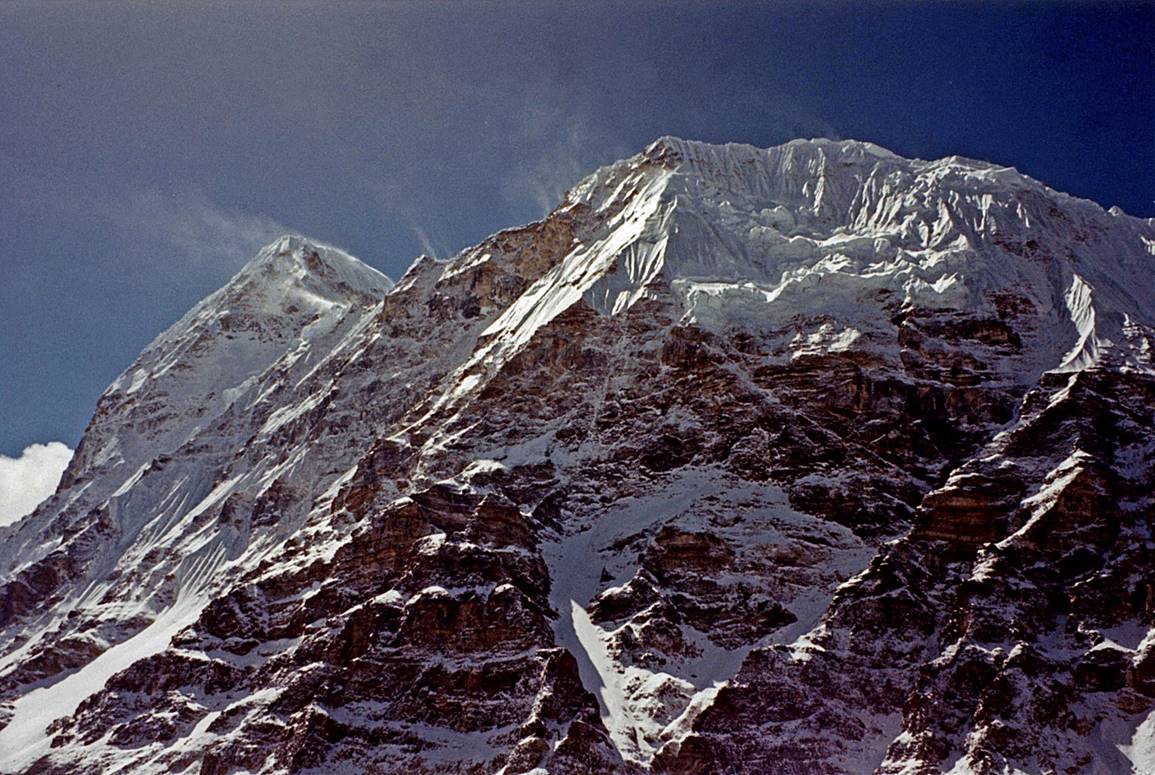
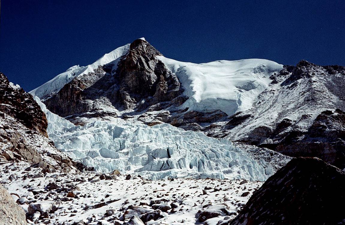
Views of the northern side of
Kanchenjunga from Pangpema (5143m).
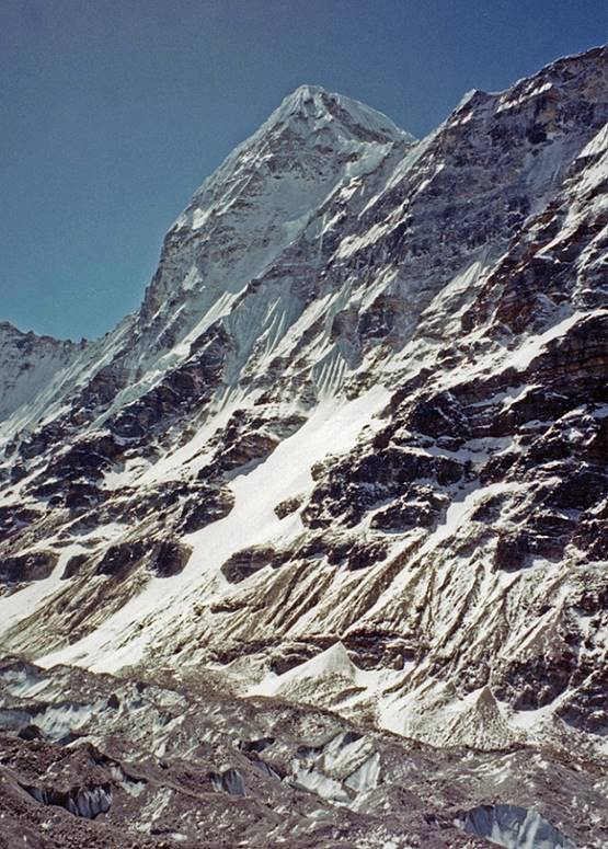
Wedge peak seen from Pangpema.
|
|
|

Between Ghunsa
and Lapsang La.
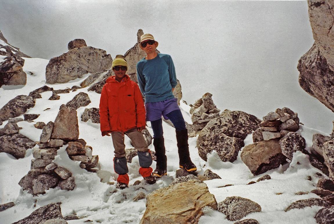
At Lapsang La (5110m).
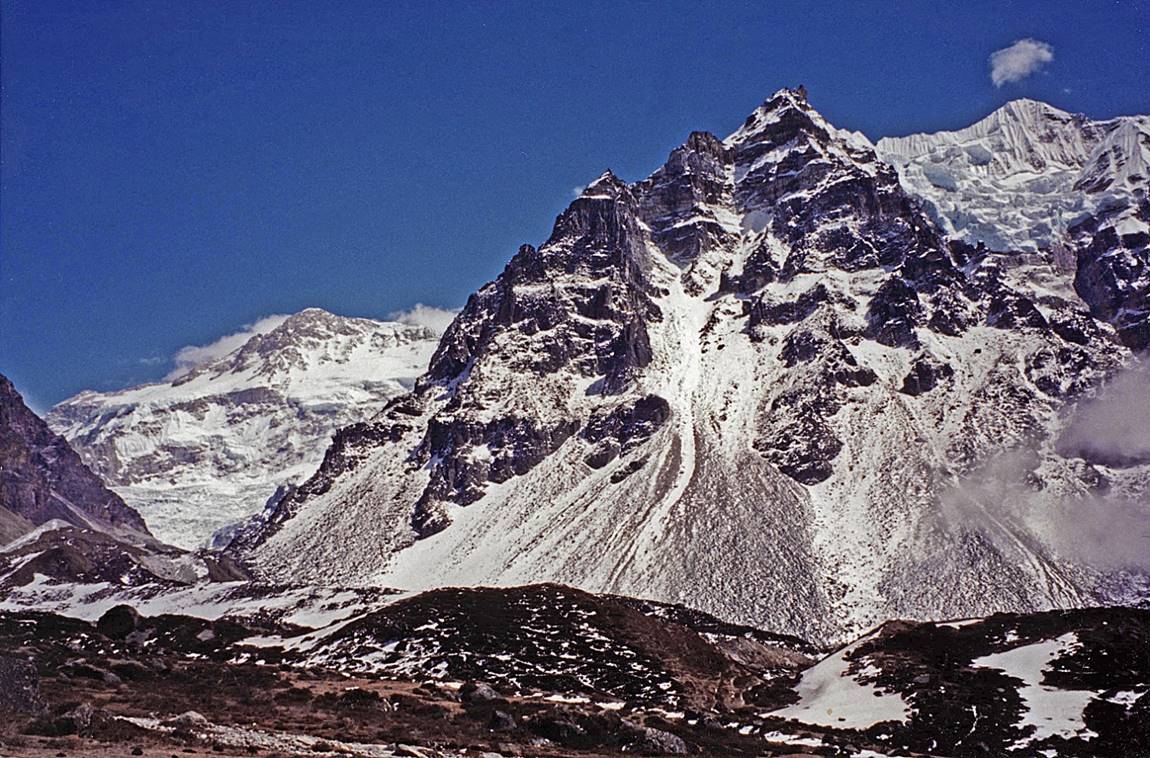
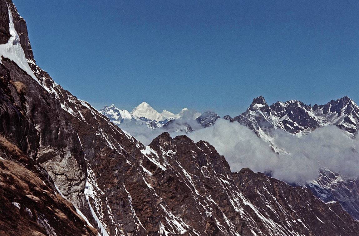
Above Ramche:
view of Rathong peak (6682m).
|
|
|
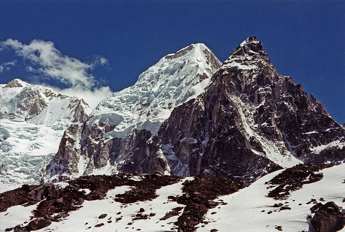
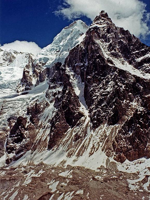
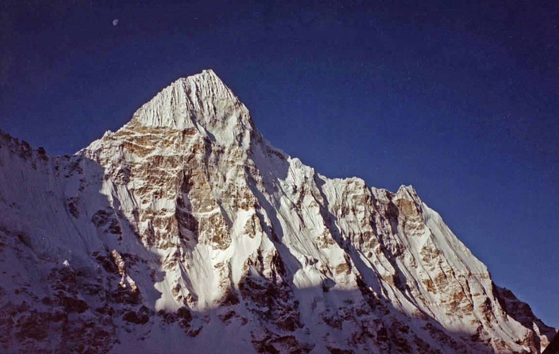
View of Jannu′s
summit from the south.
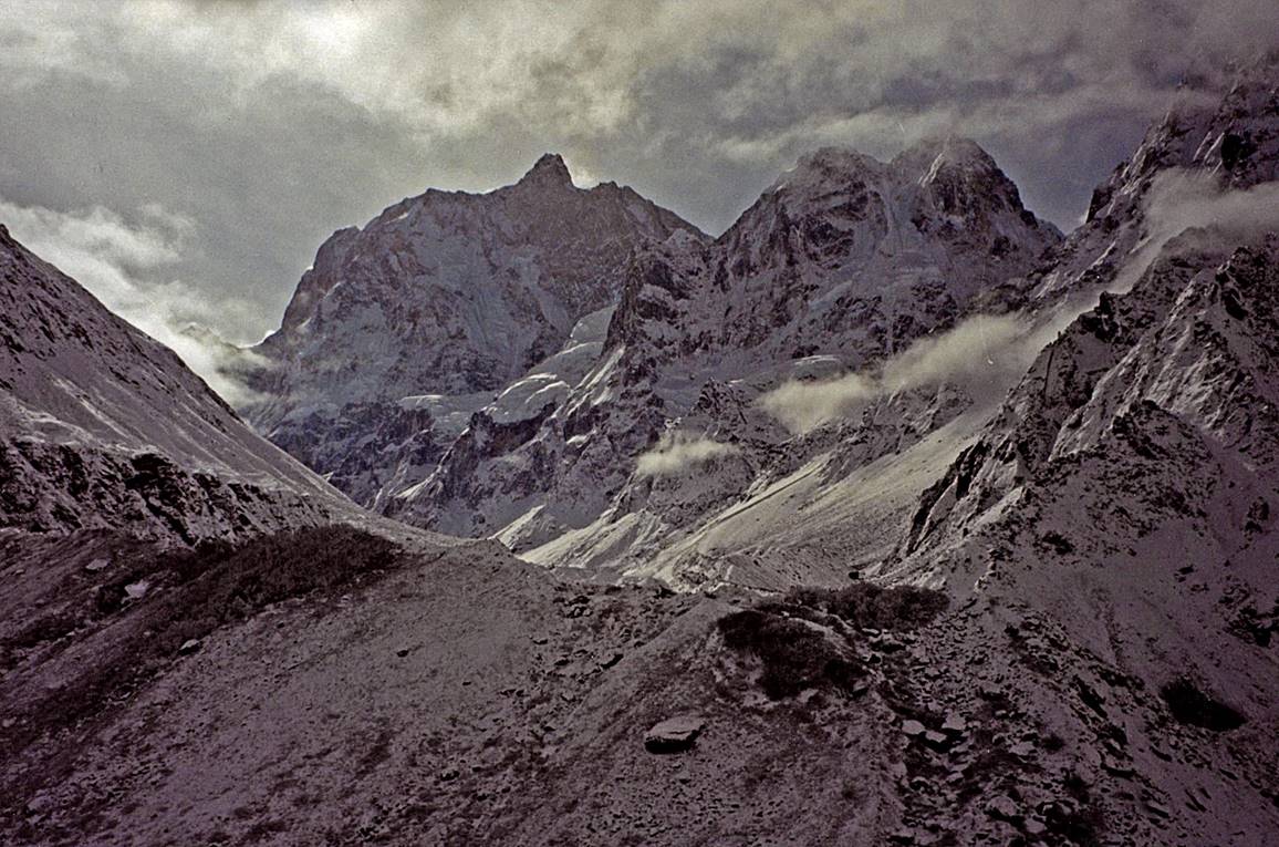
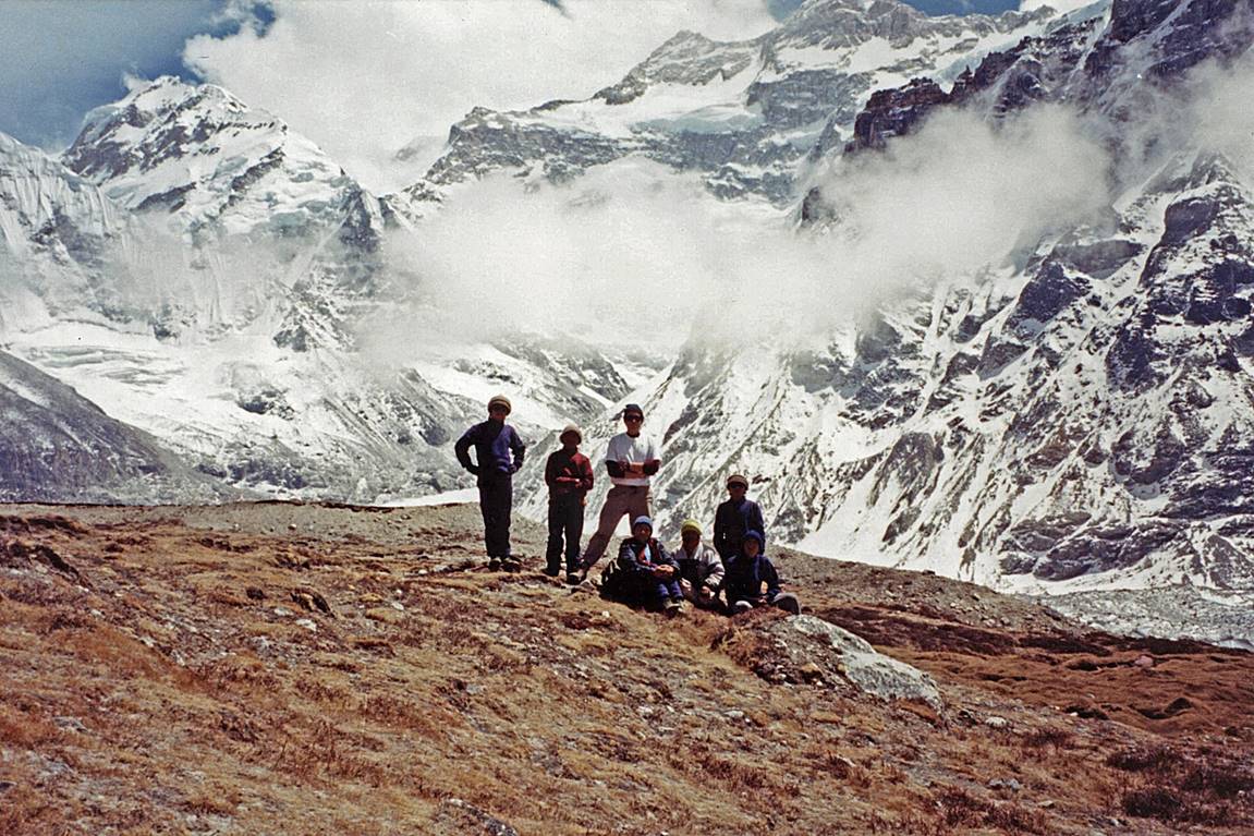
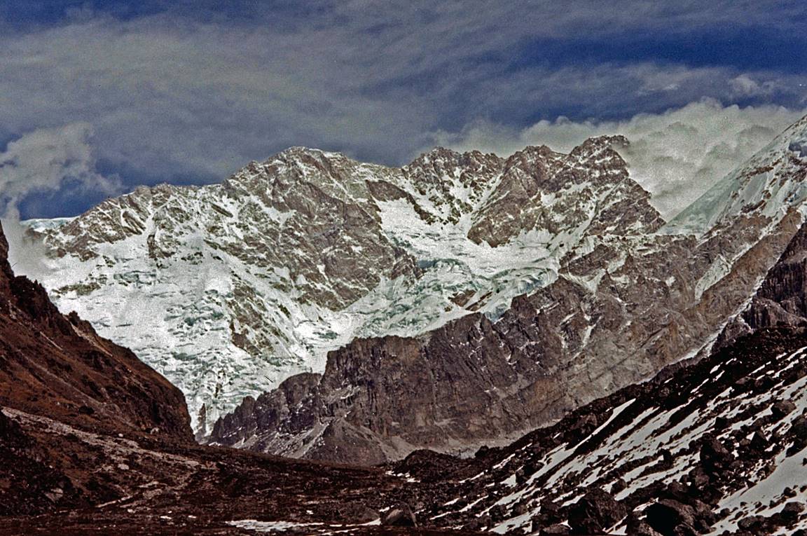
View before reaching Oktang.
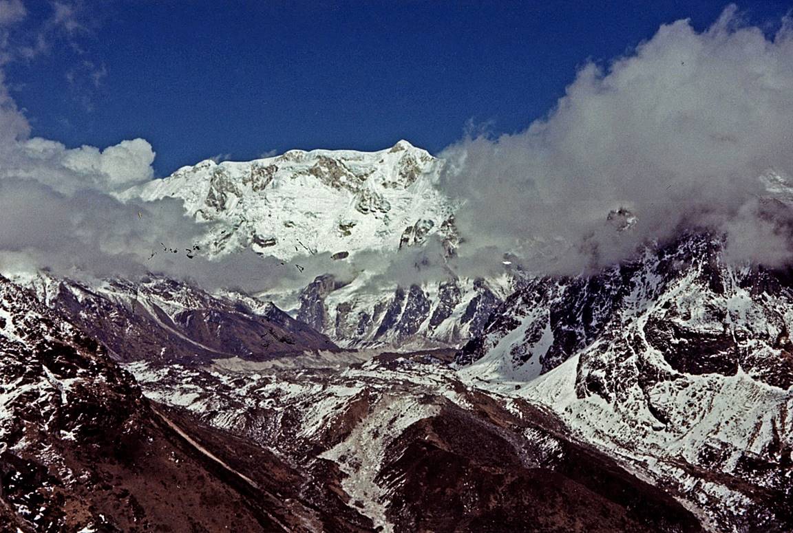
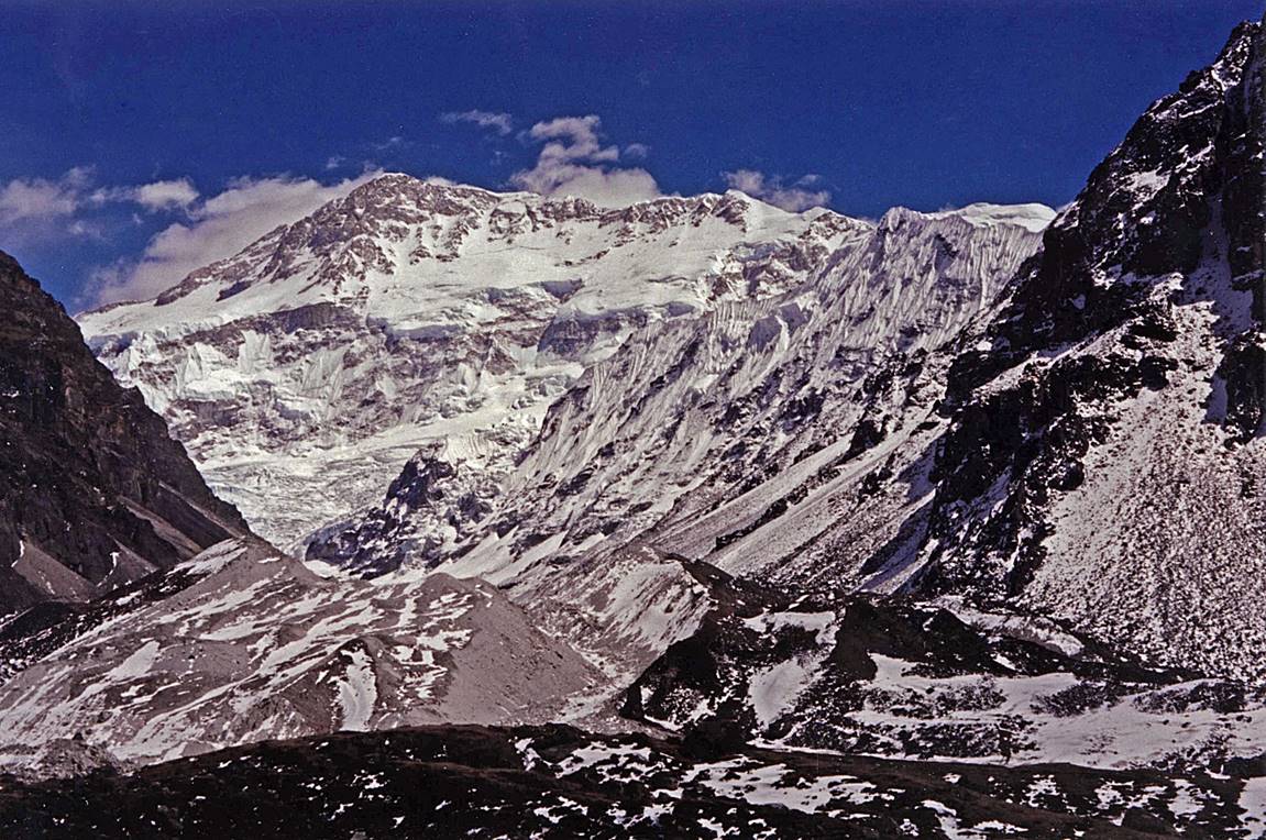
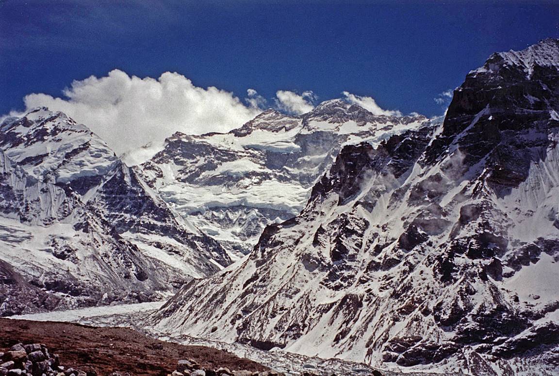
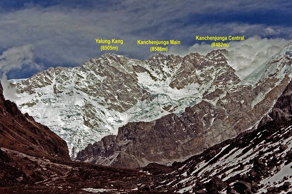
View the southern side of Kanchenjunga
from Oktang (4730m).
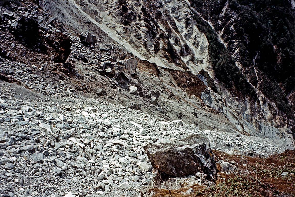
Remains of a landslide just before
reaching Lasiya Bhanjyang.
Between Tseram
and Suketar.
|
|
|
|


Typical houses along the way.
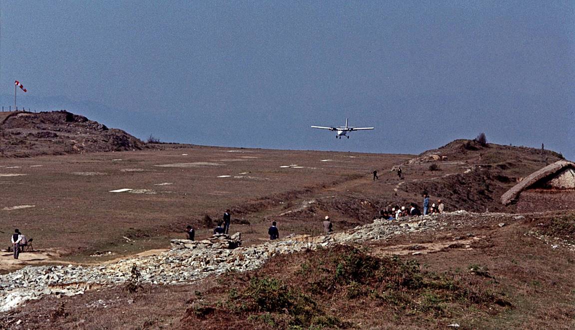
Suketar airfield.