![]()
Return to Kyrgyzstan
2008 main page
This trek
took us to the Northern side of the beautiful Western Kokshaal-Too
range in the South-East of
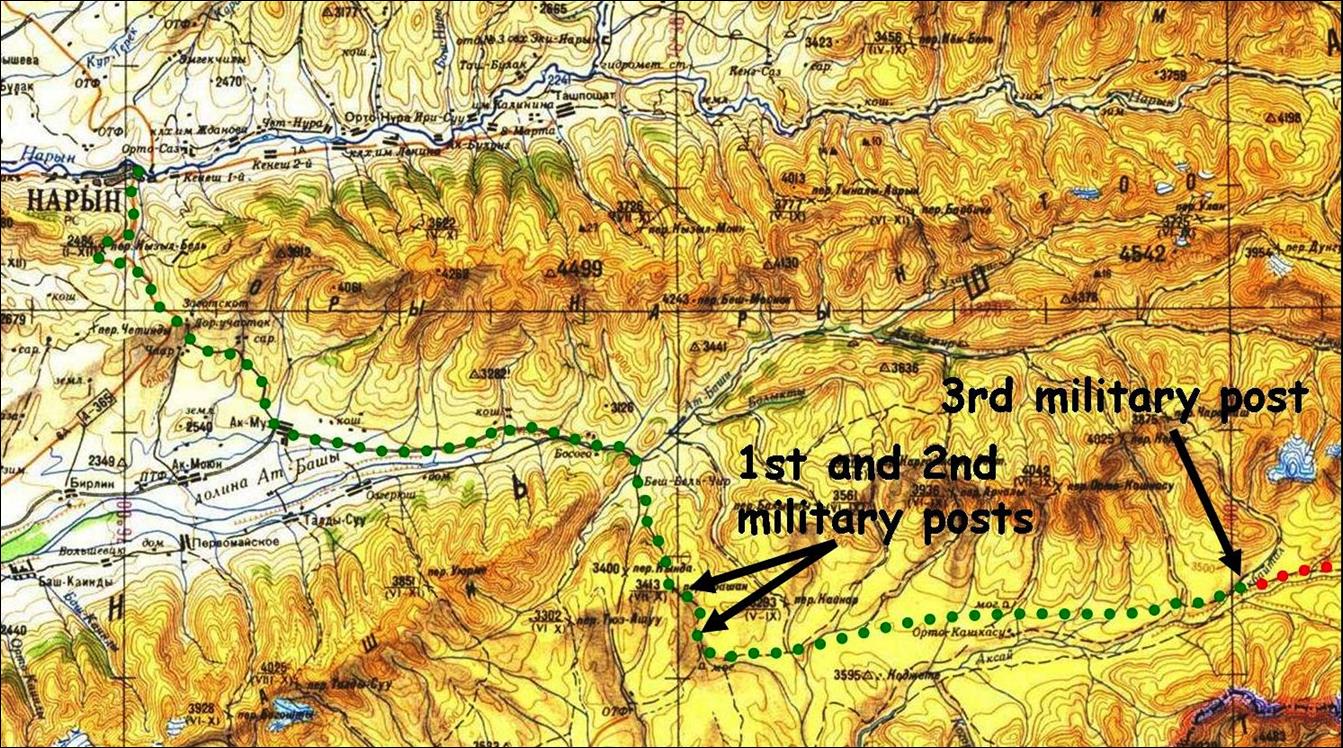
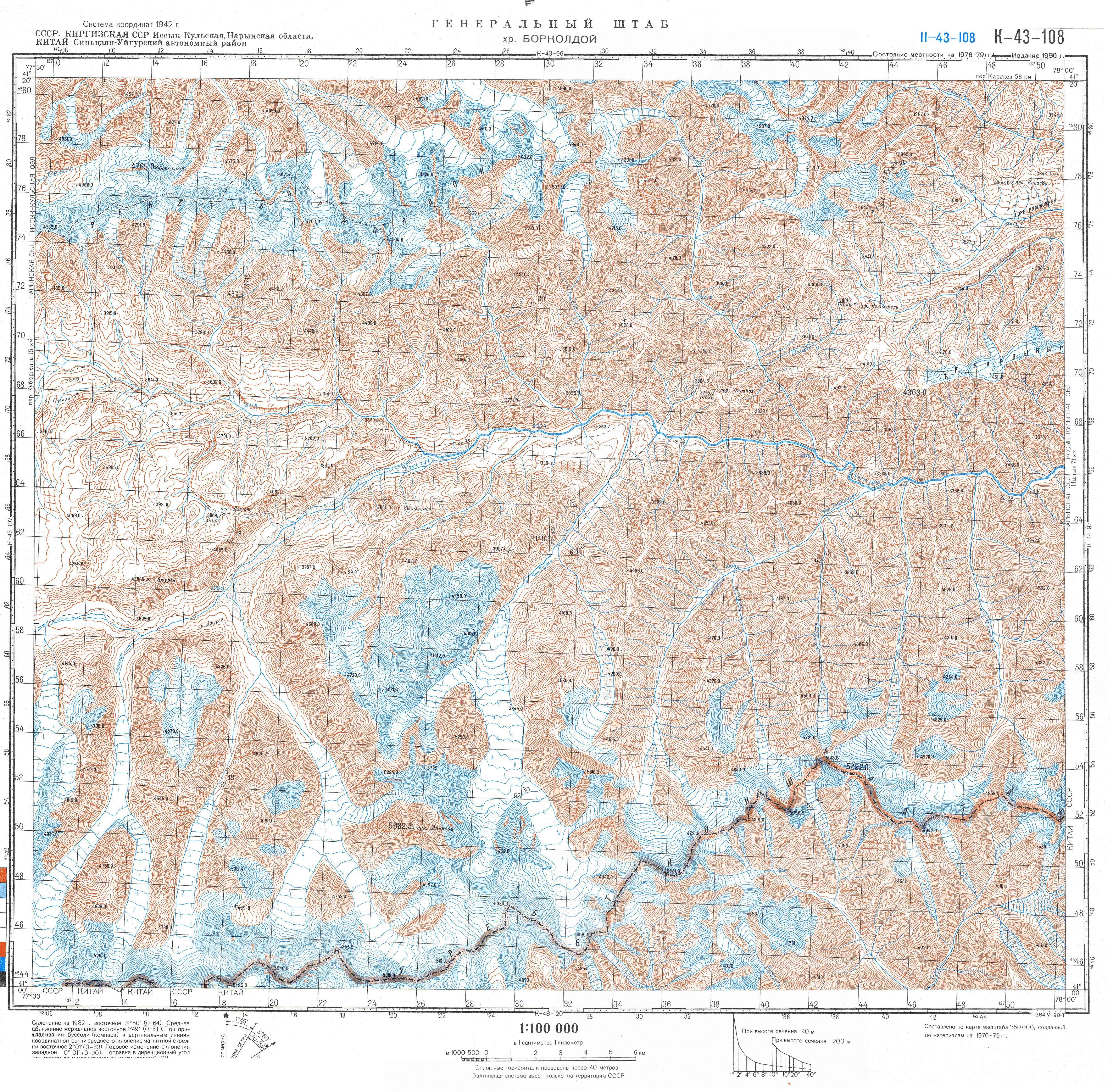
Access map
of the trek (green line).
Itinerary of
the trek (red line).
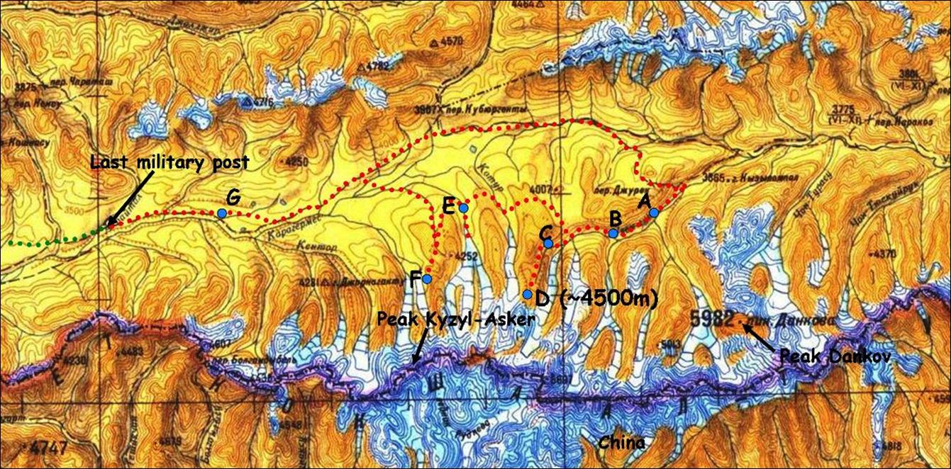
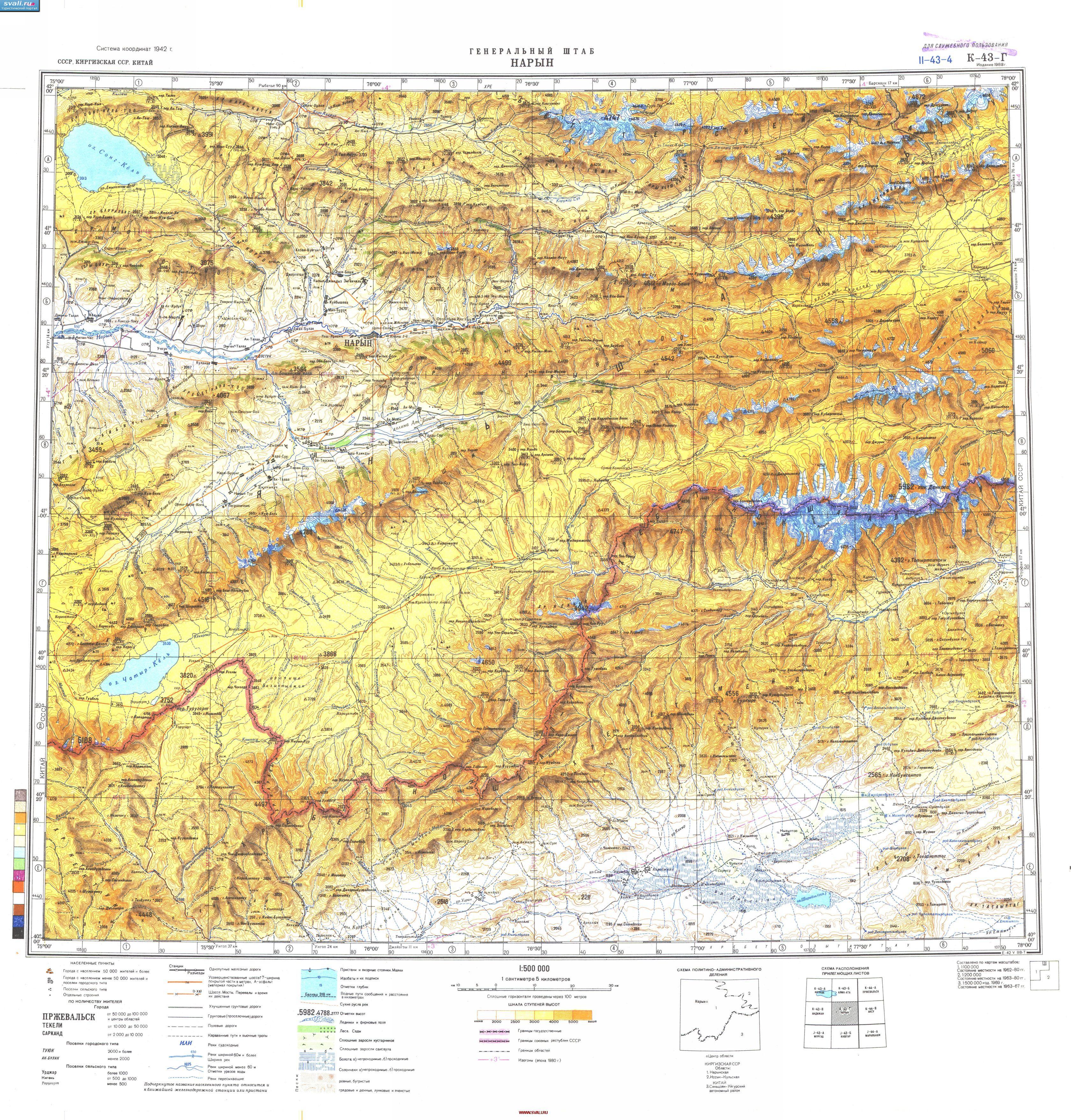
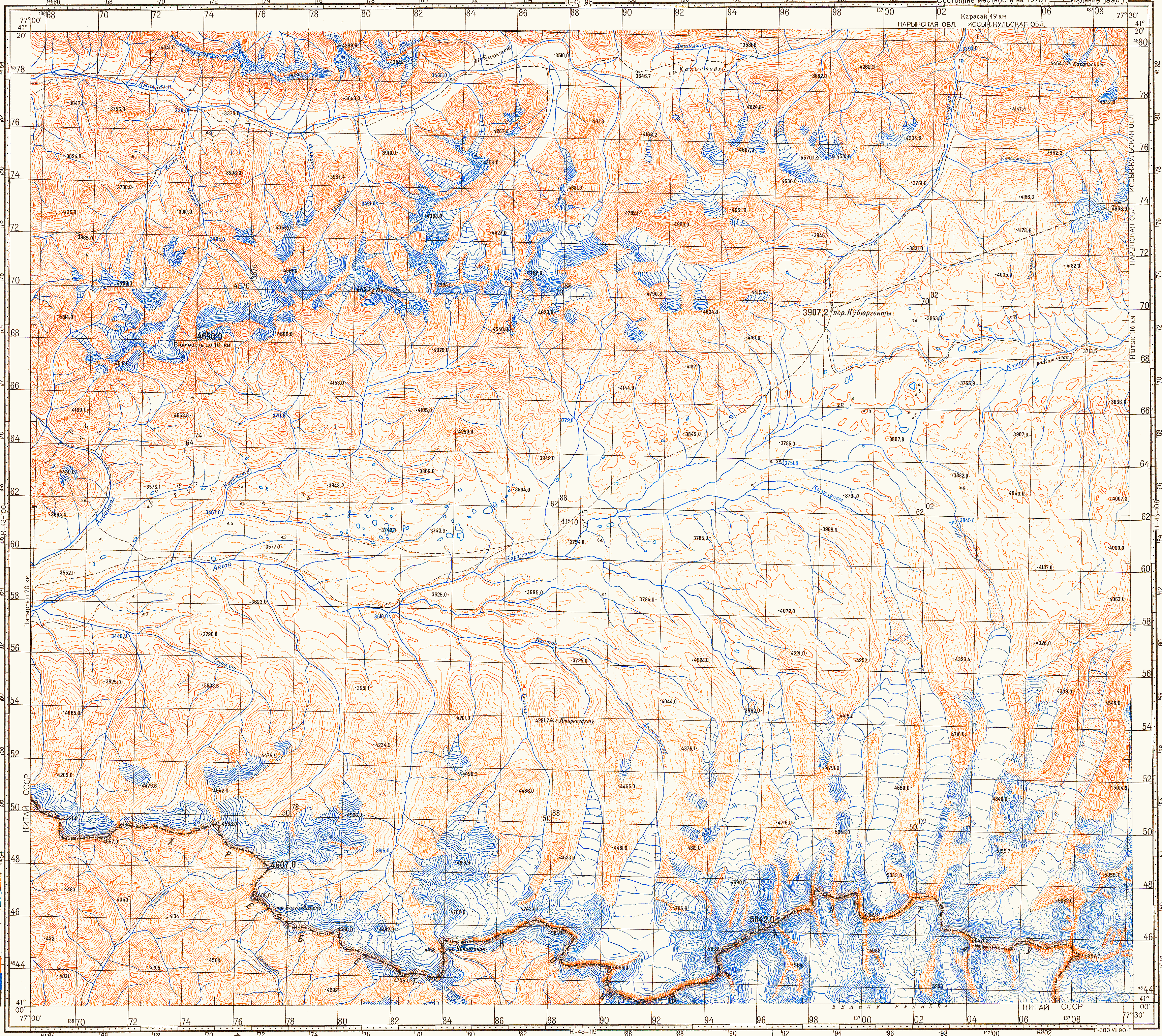
For
full-resolution topographic maps of the trek area click: 500K-Kokshaal-Too,
100K-Kyzyl-Asker,
and 100K-Dankov.
![]()
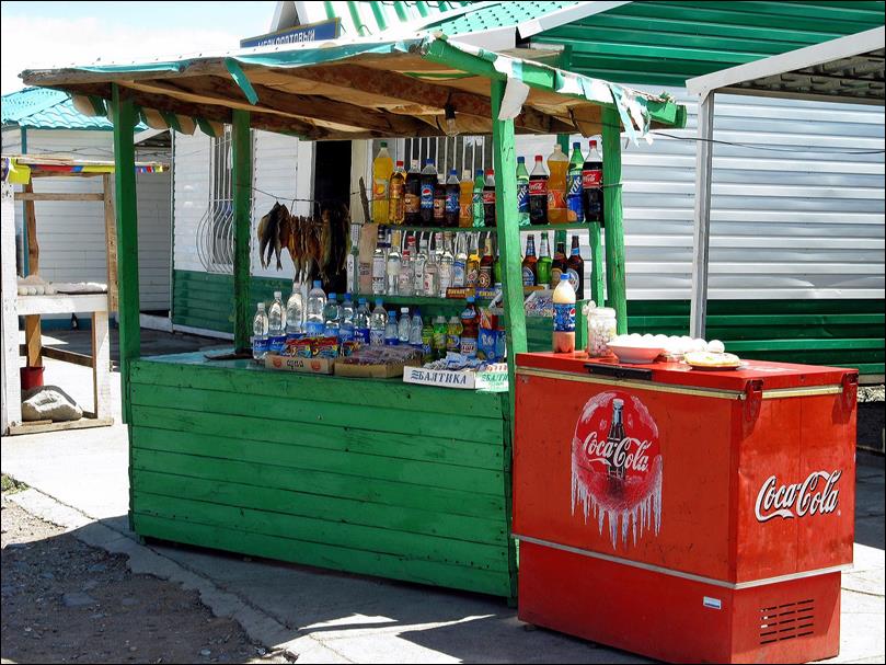
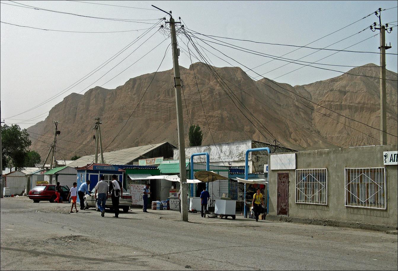
Along the
road toward Naryn: in a restaurant and drink stand.
|
|
|

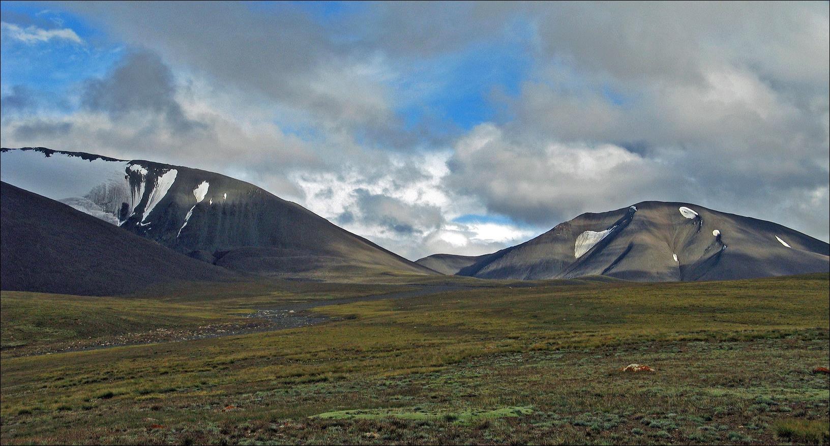
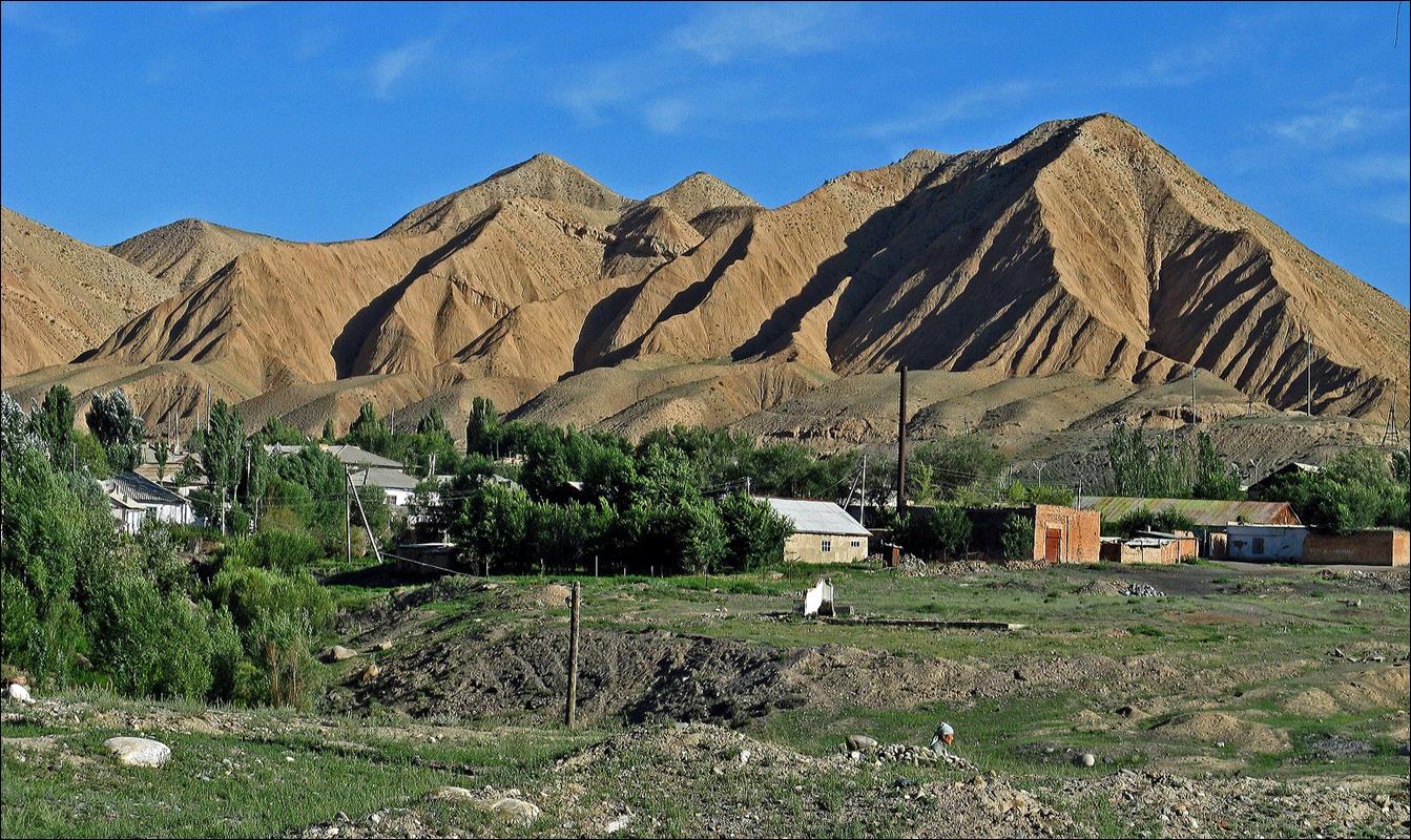
Typical
landscape near Naryn.
Views of Naryn. Naryn is certainly not a
beautiful city, but it is not as bad as it looks on these pictures, and the
surroundings are gorgeous.
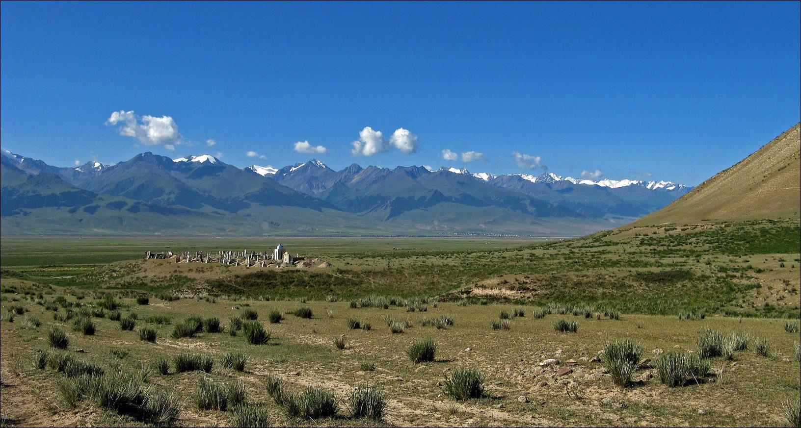
Graveyard of
the Atbachy village at the Western end of the Kokshaal-Too range.

Landscape
near the beginning of the trek.
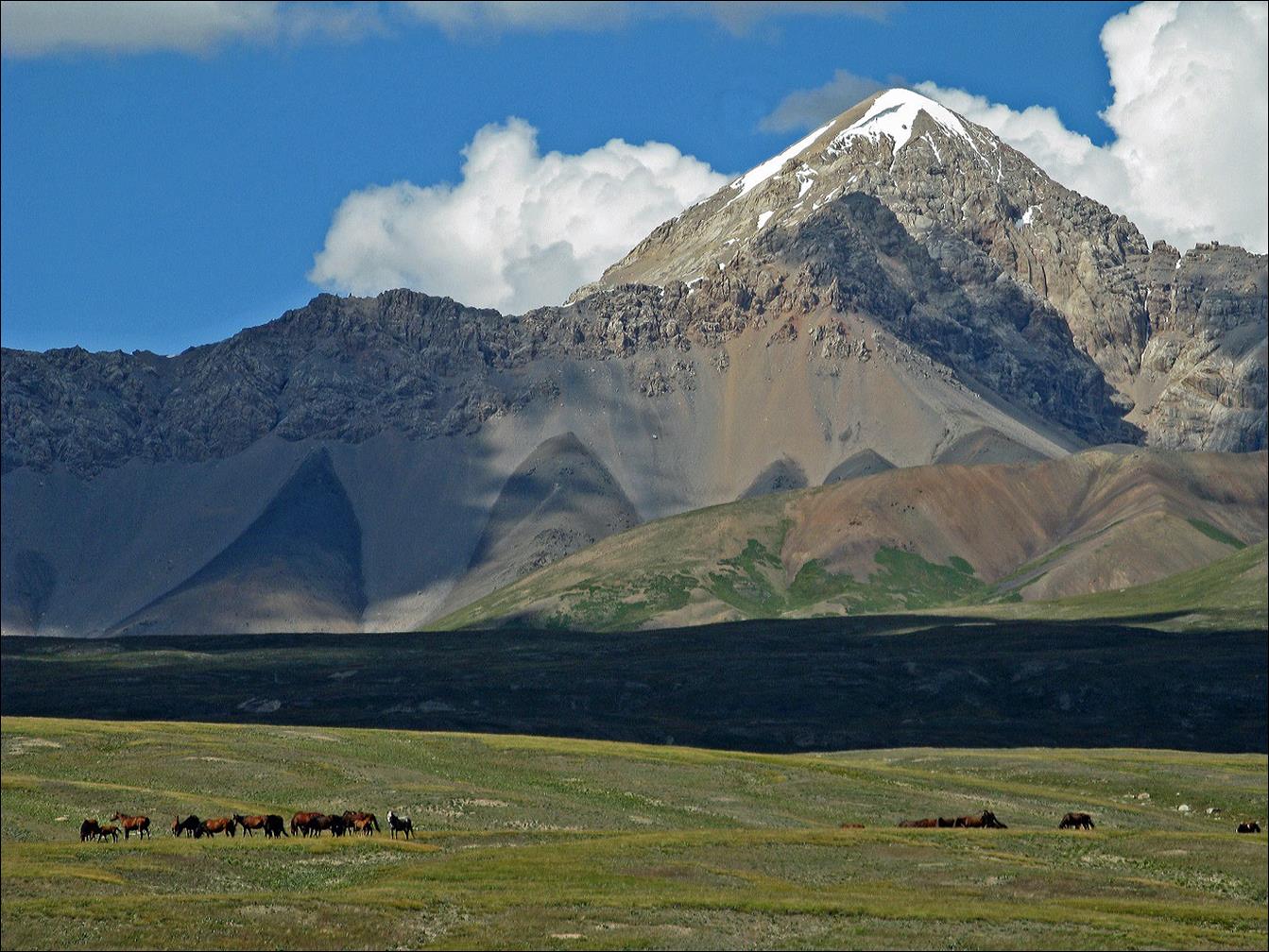
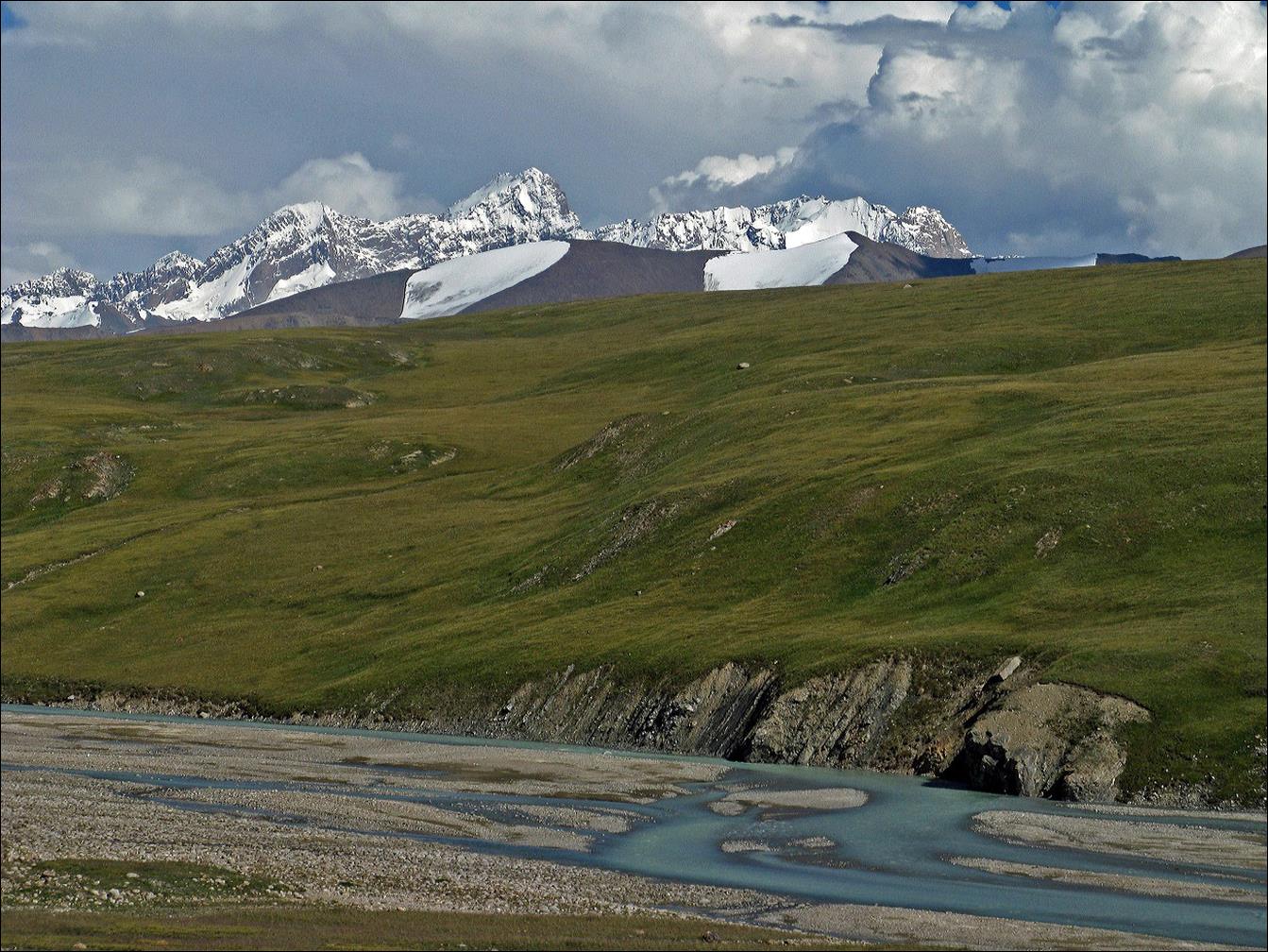
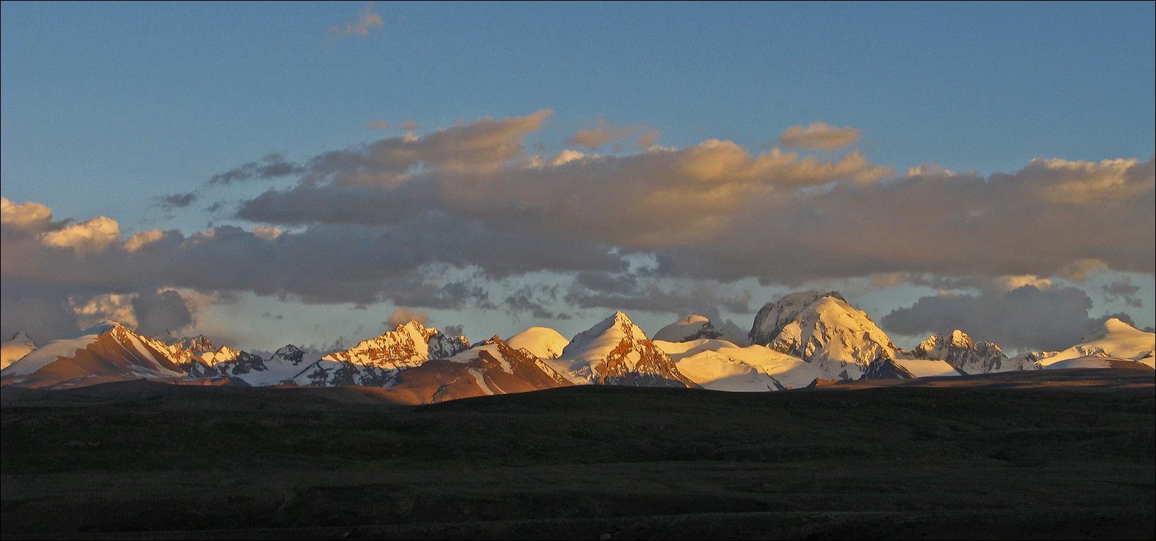
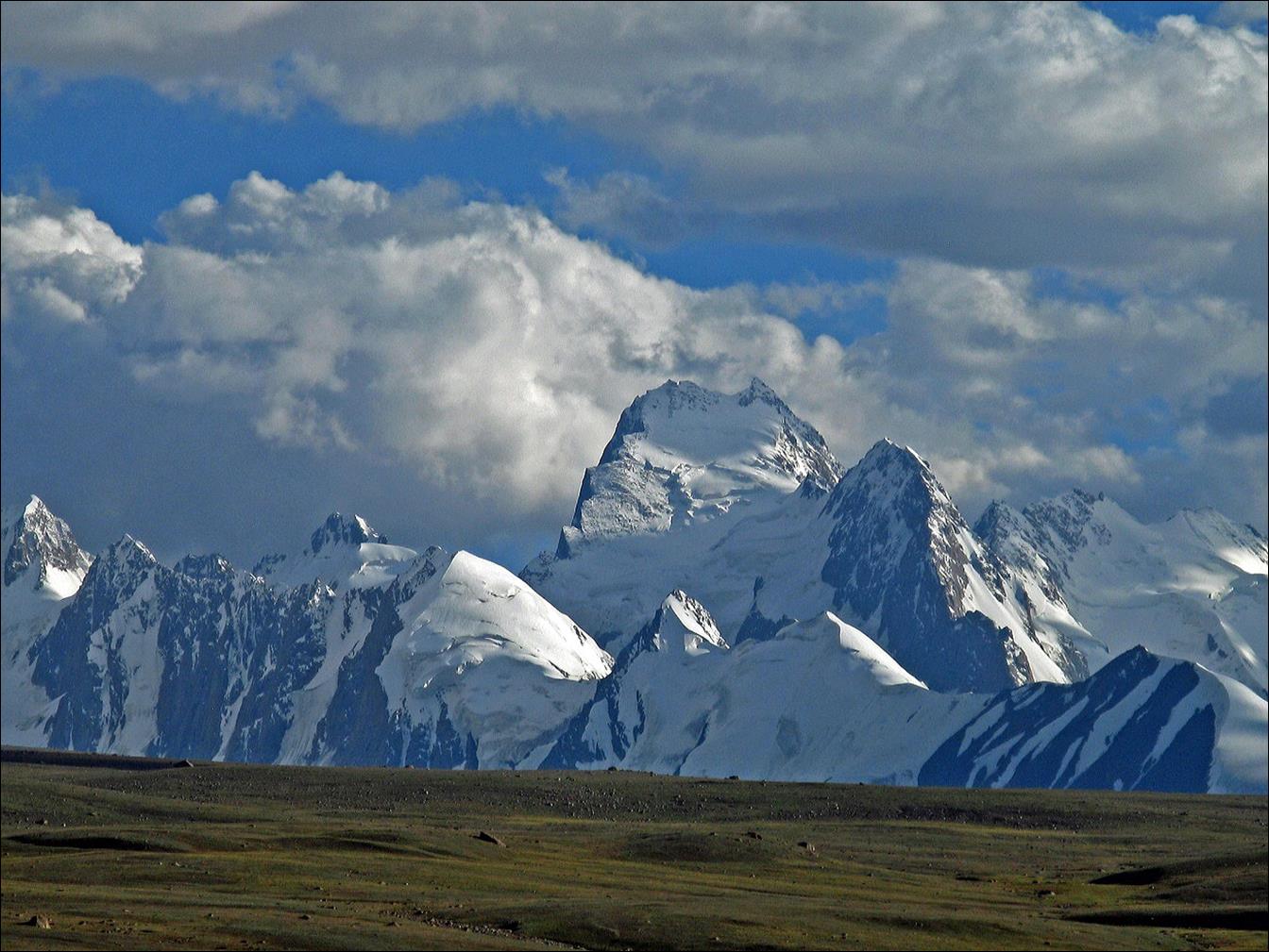
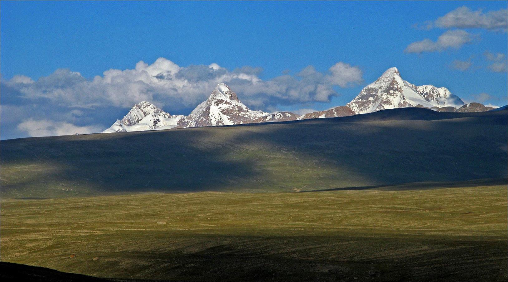
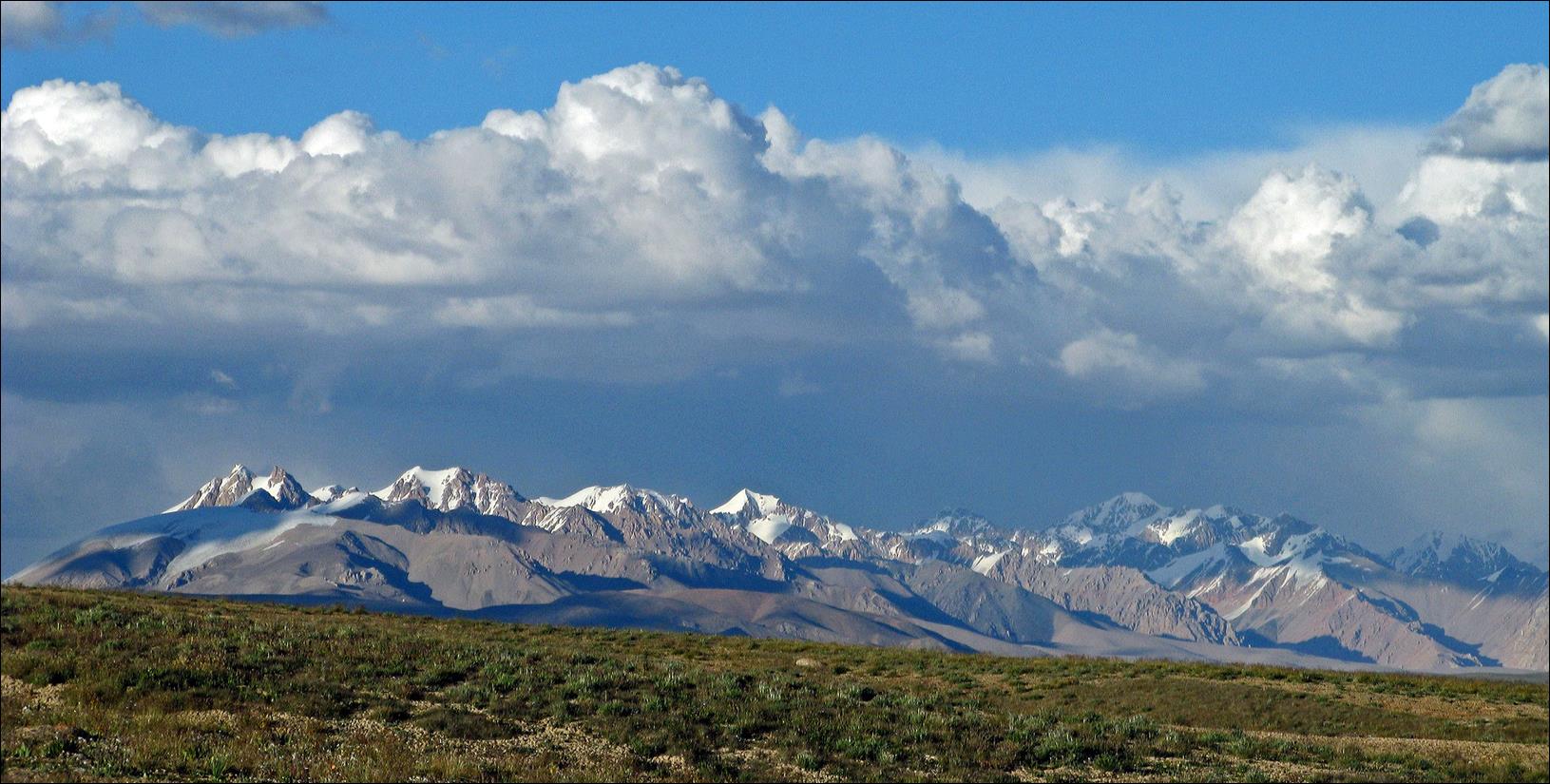
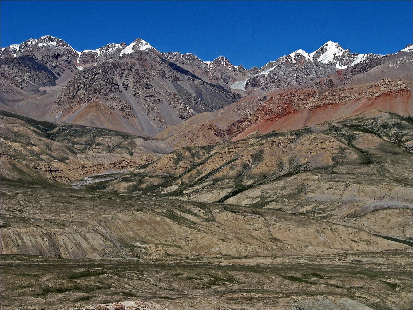
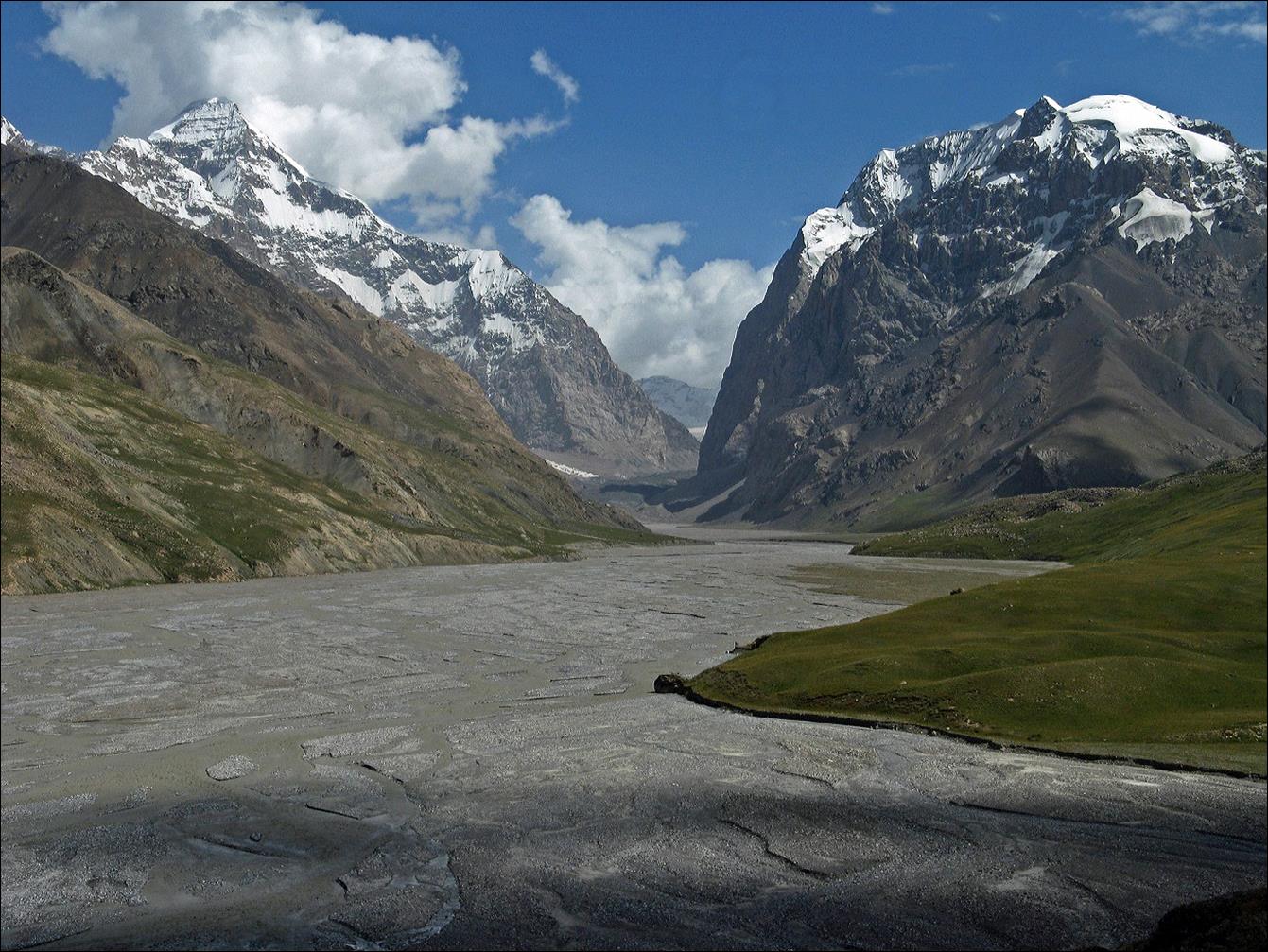
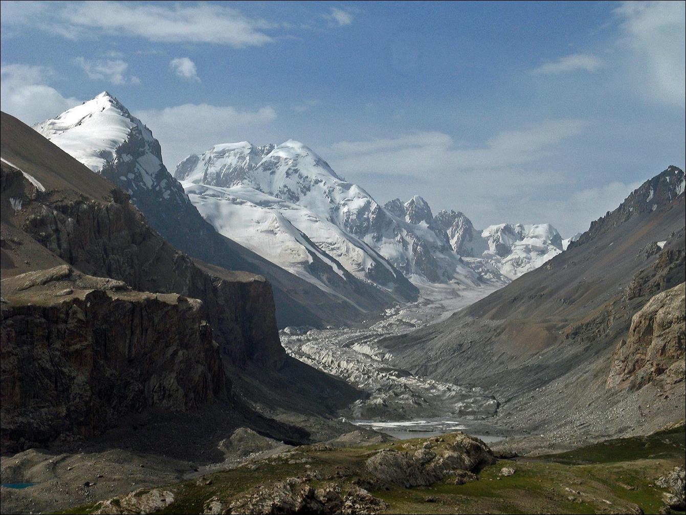
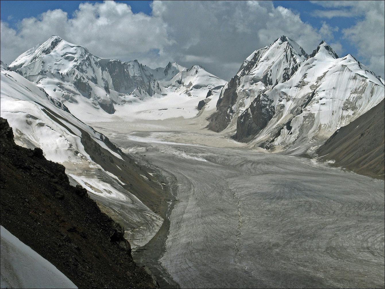
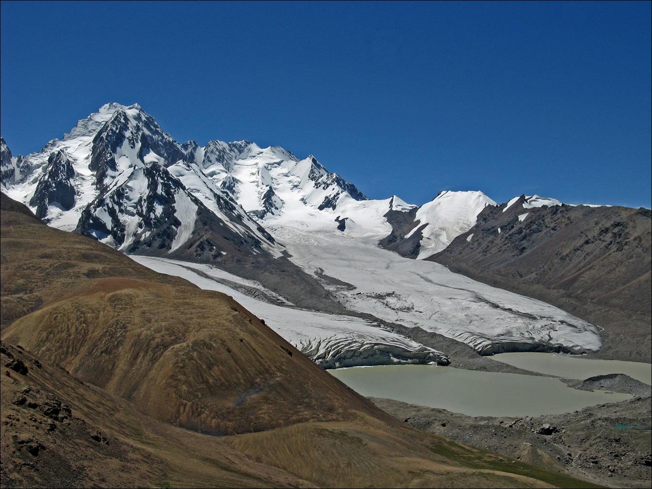
Views of the
Kokshaal-Too range around Kyzyl-Asker from the Kotur
valley.
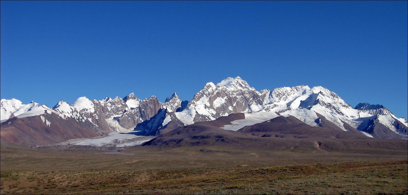
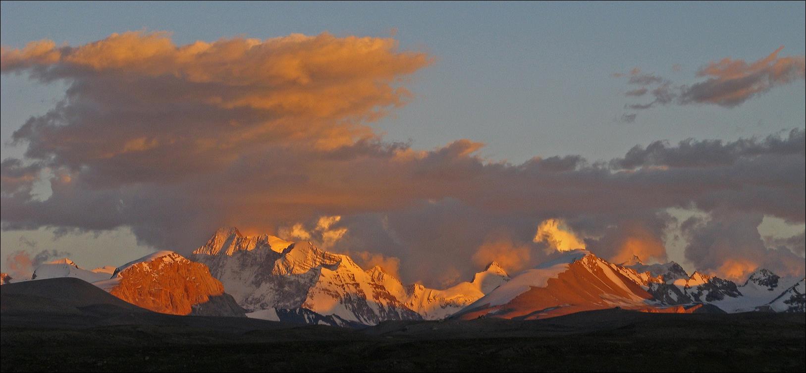
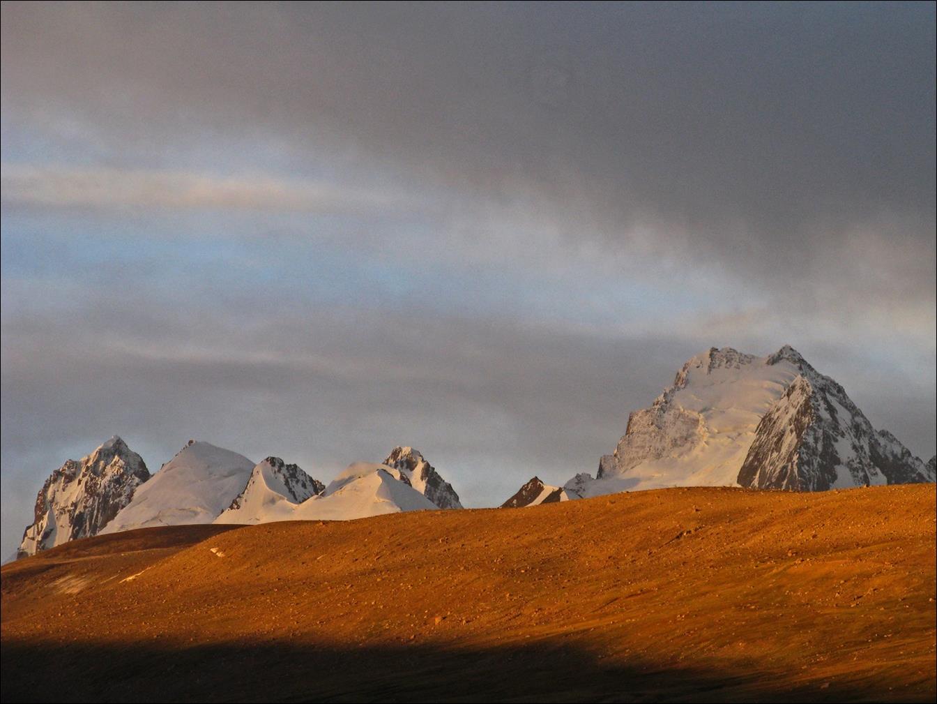
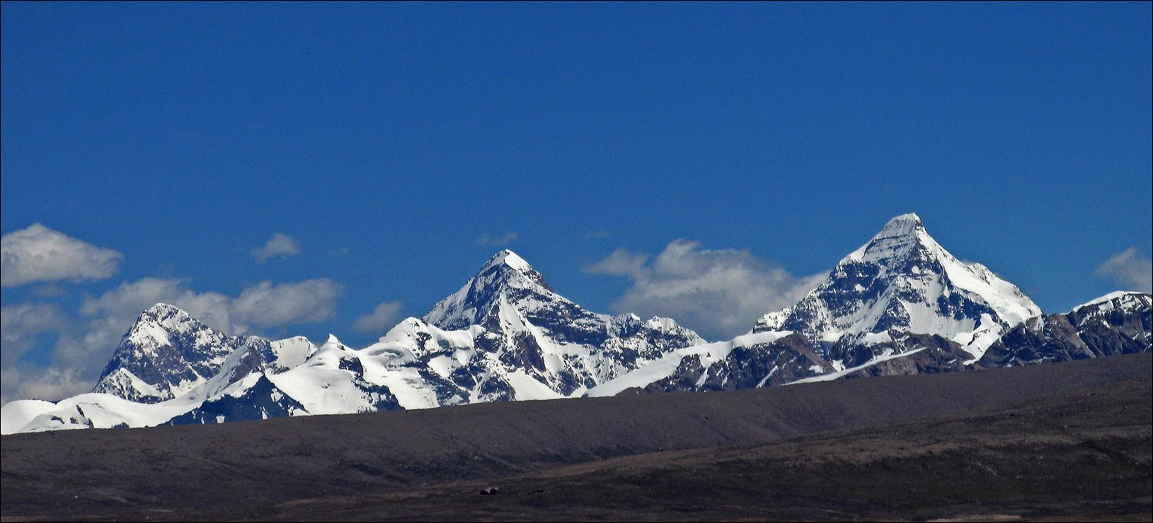
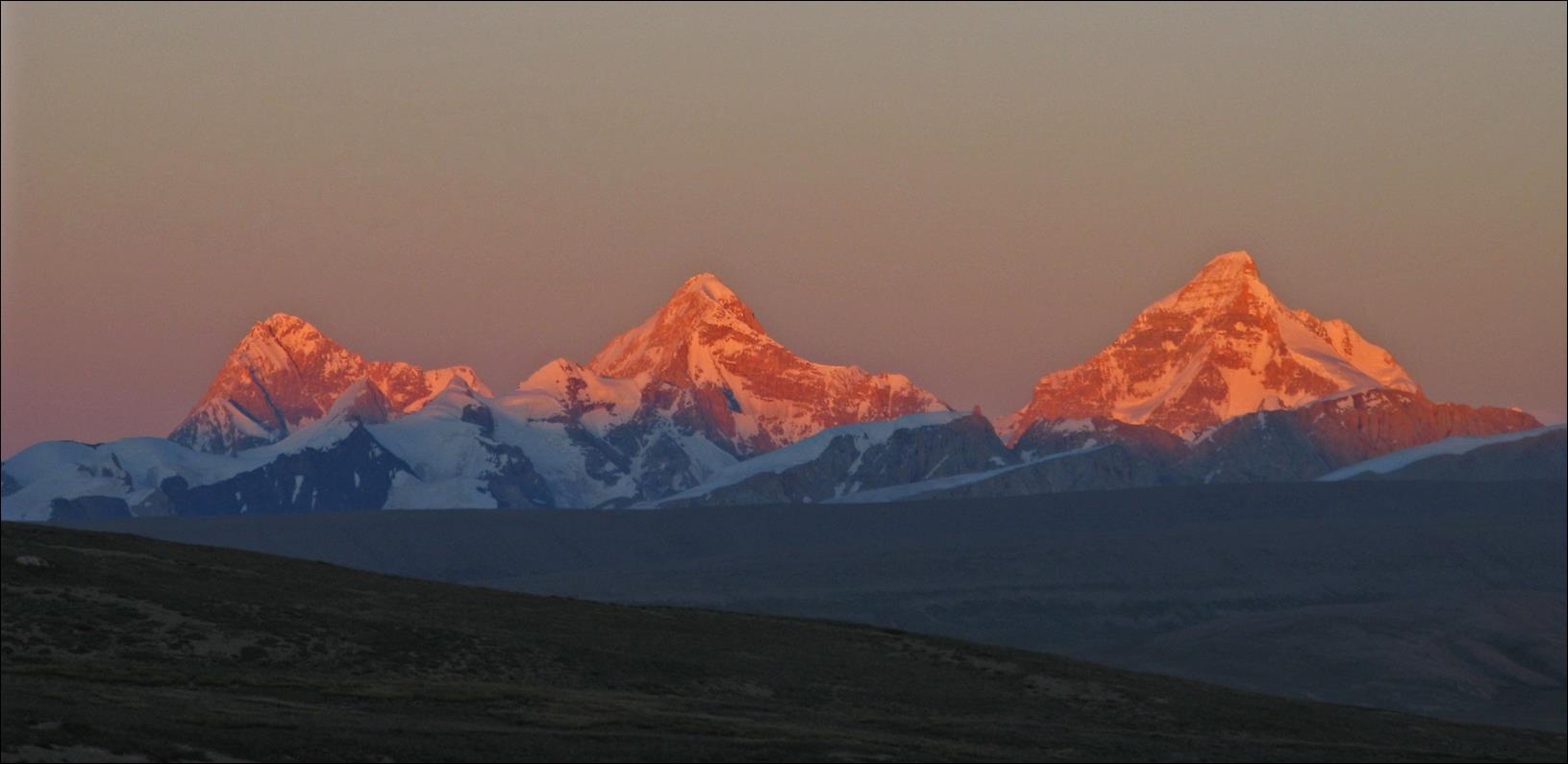
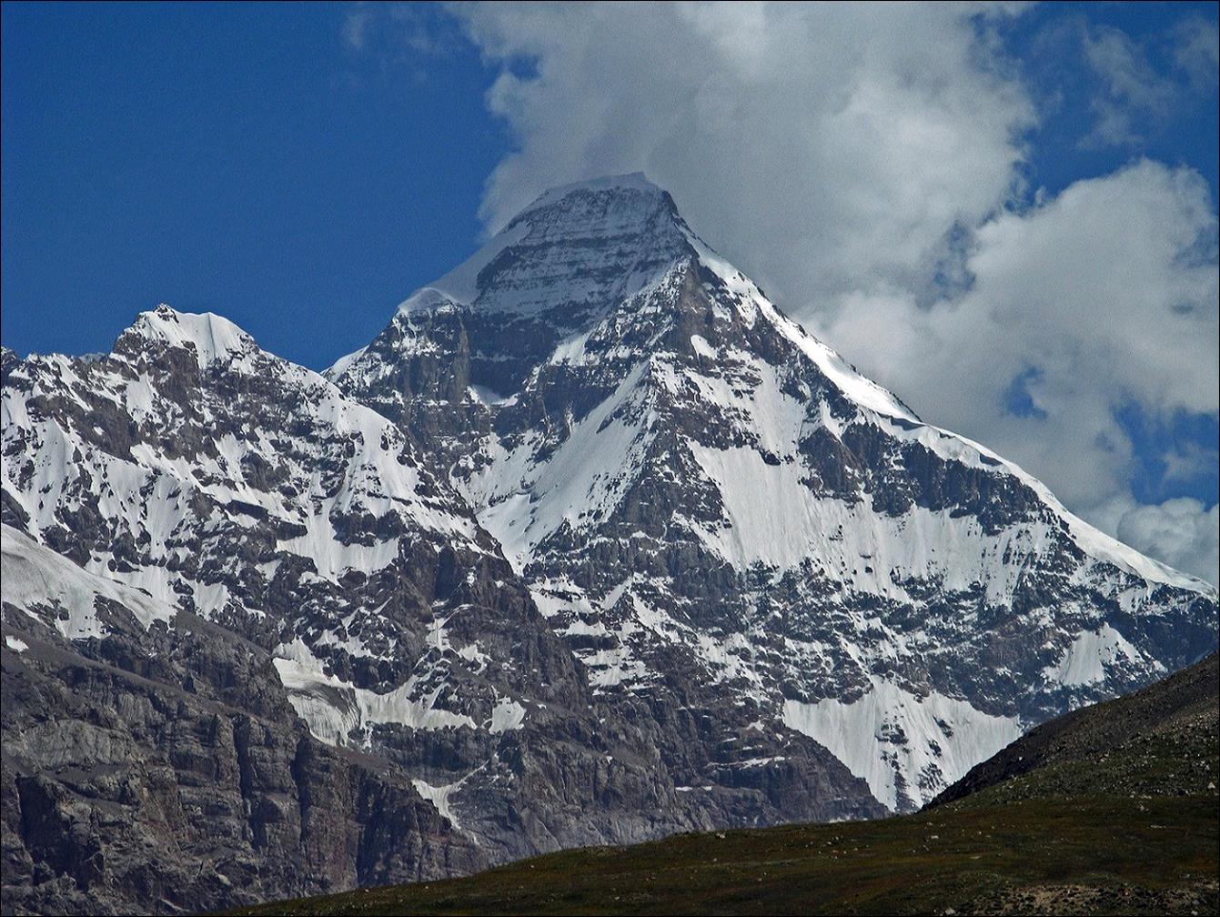
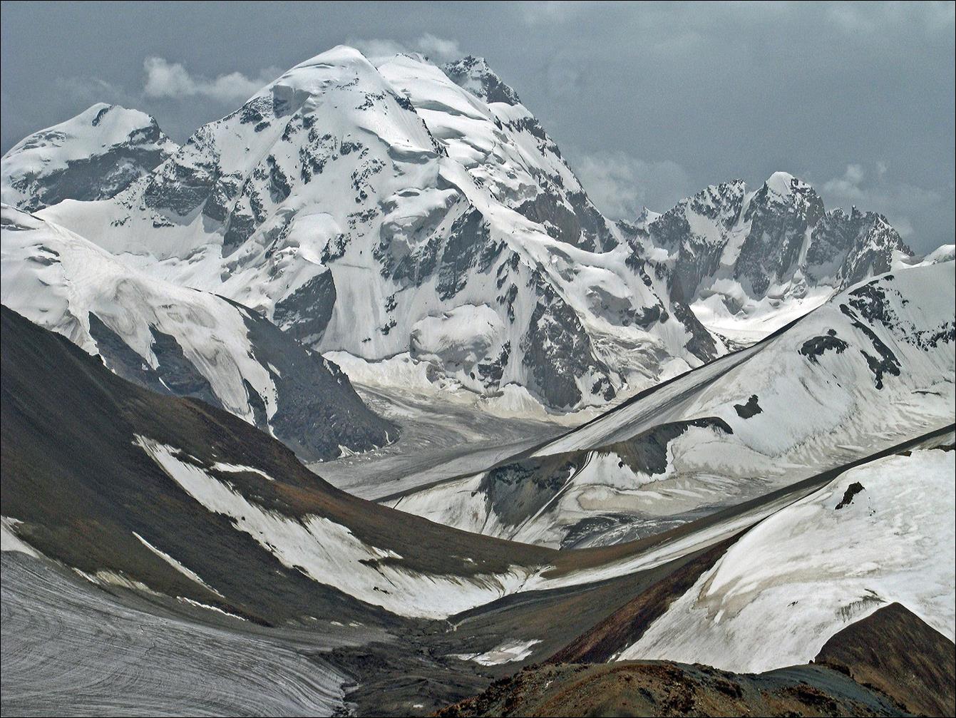
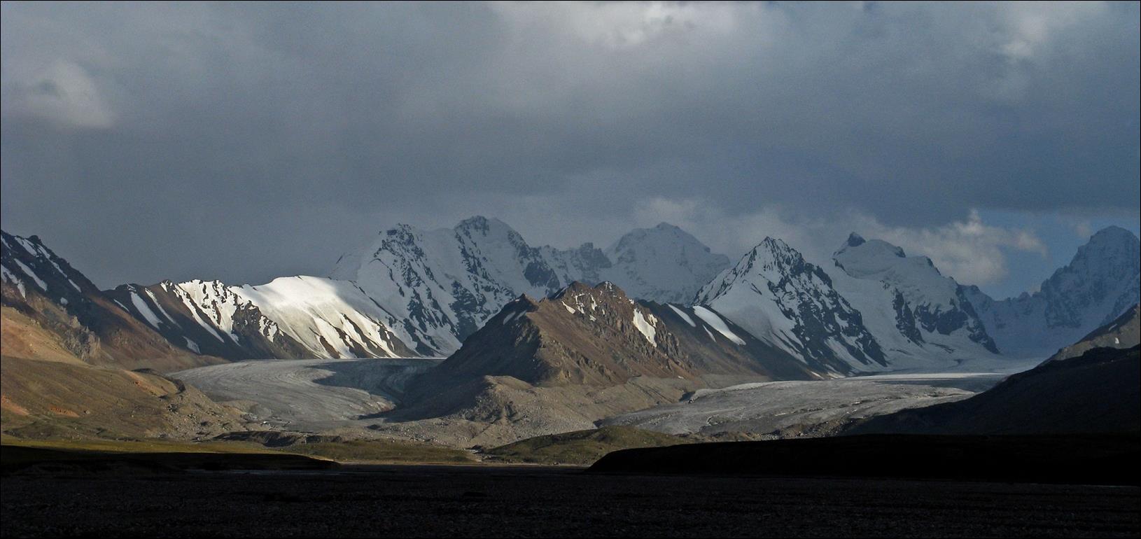
Peak
Kyzyl-Asker (5842m) at different times of the day and from different locations
along the Kotur valley.
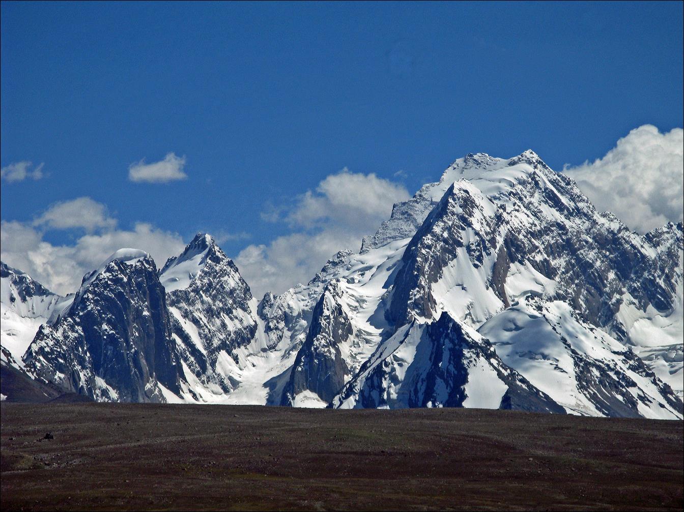
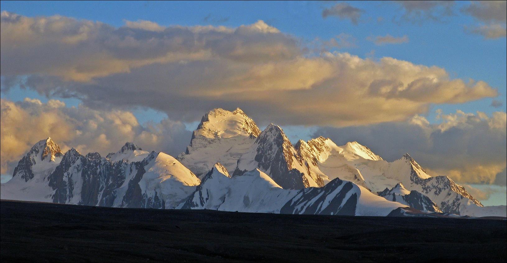
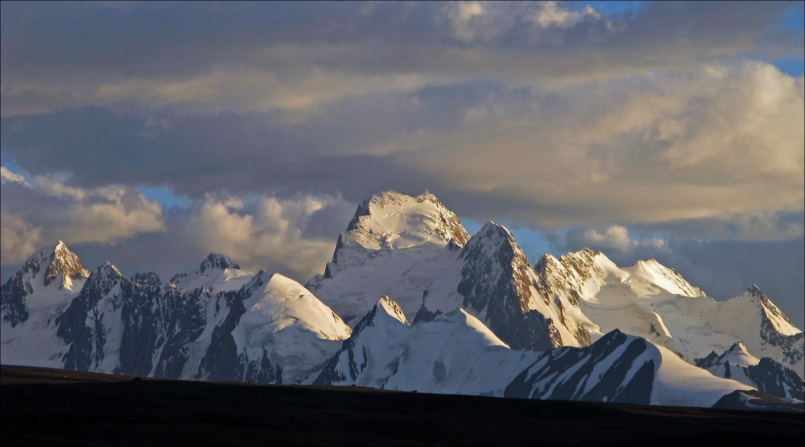
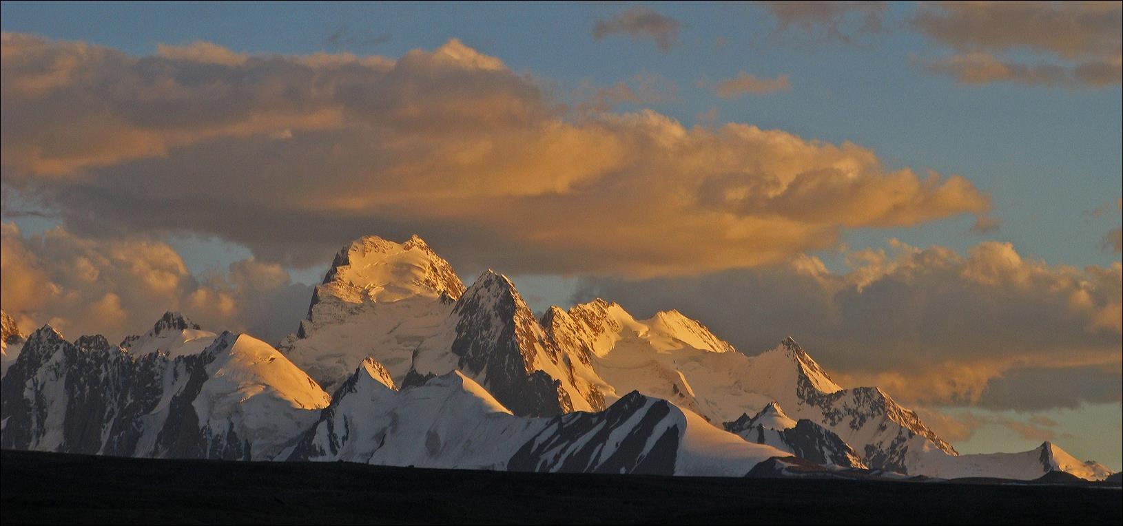
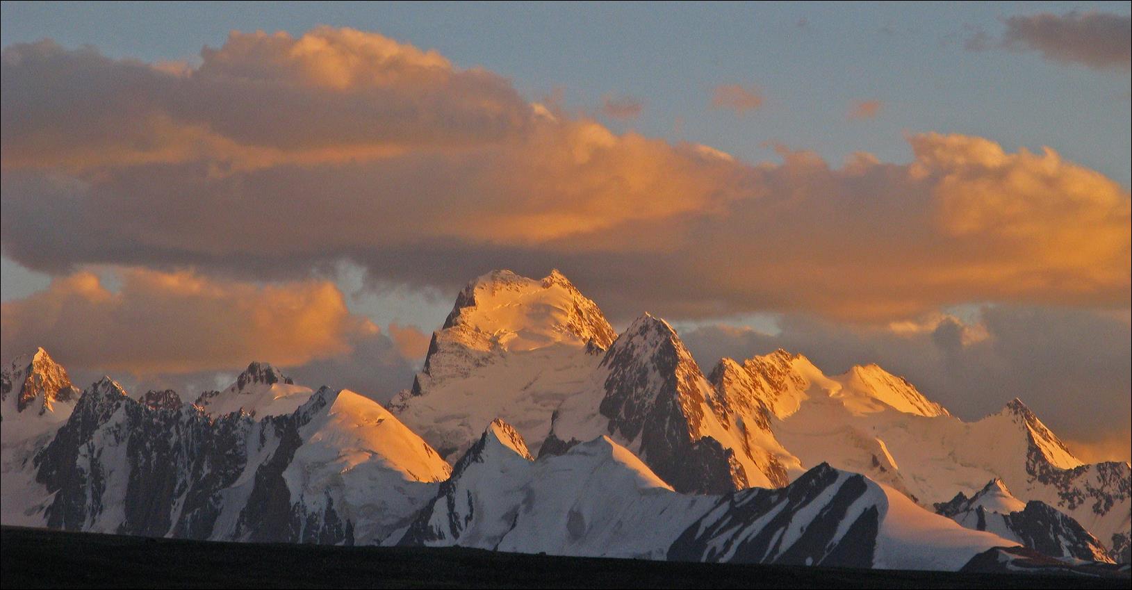
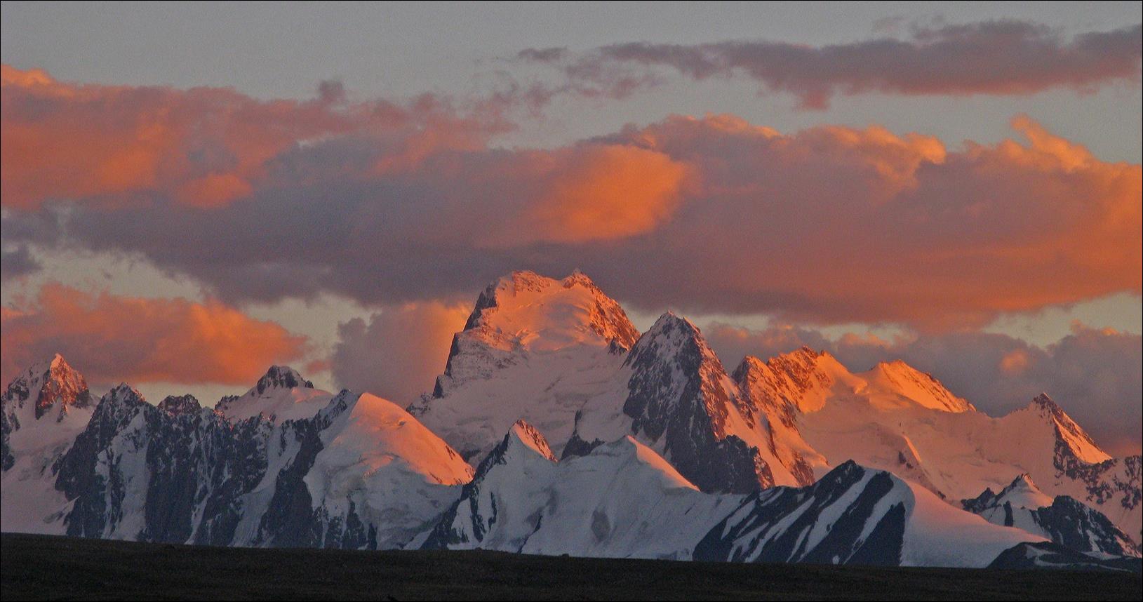
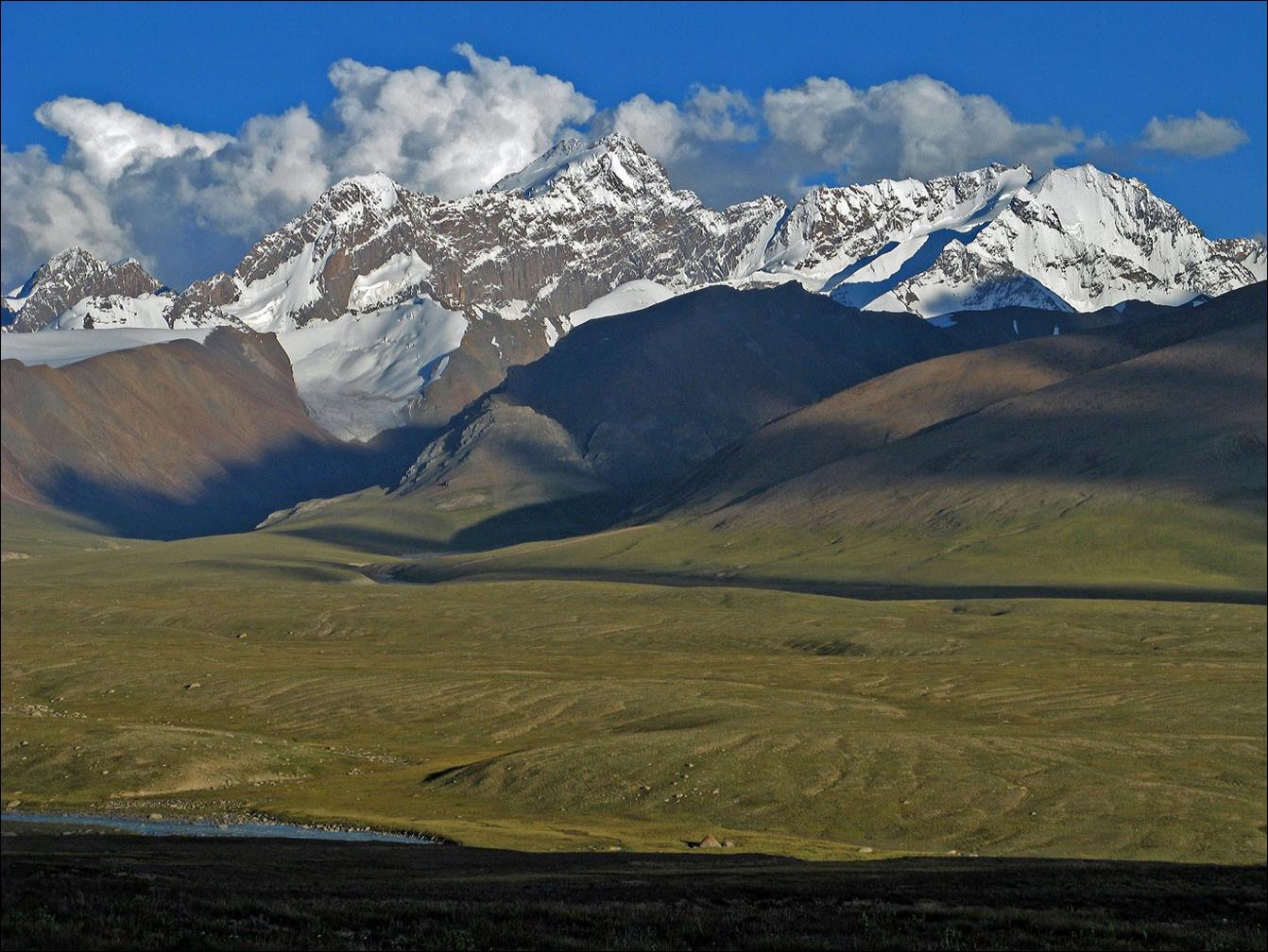
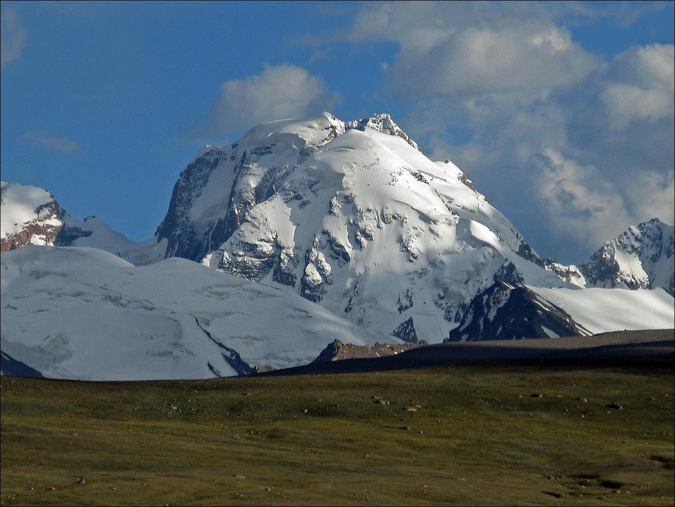
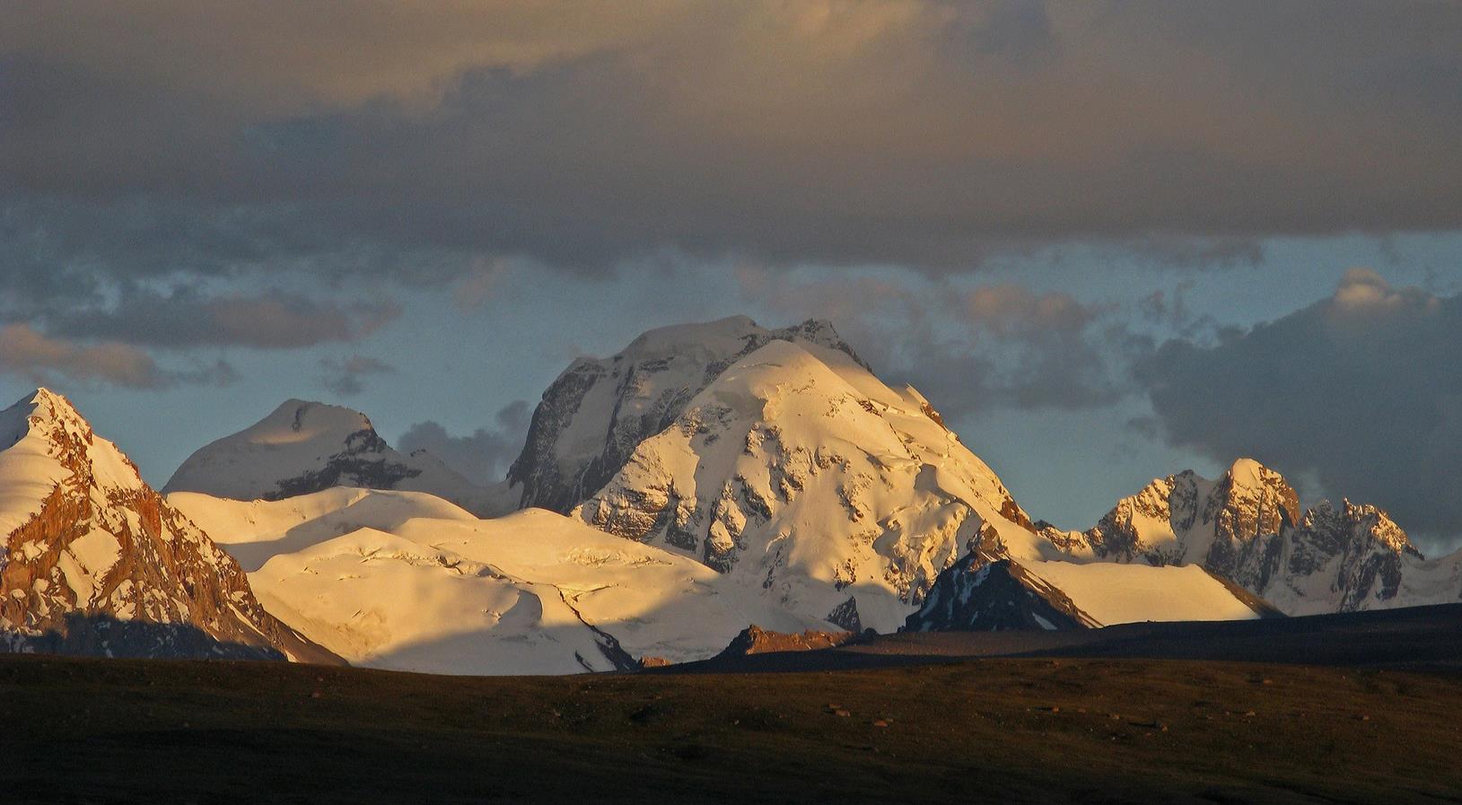
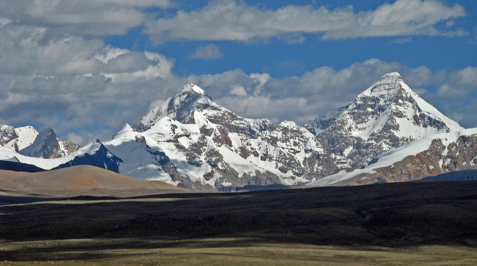
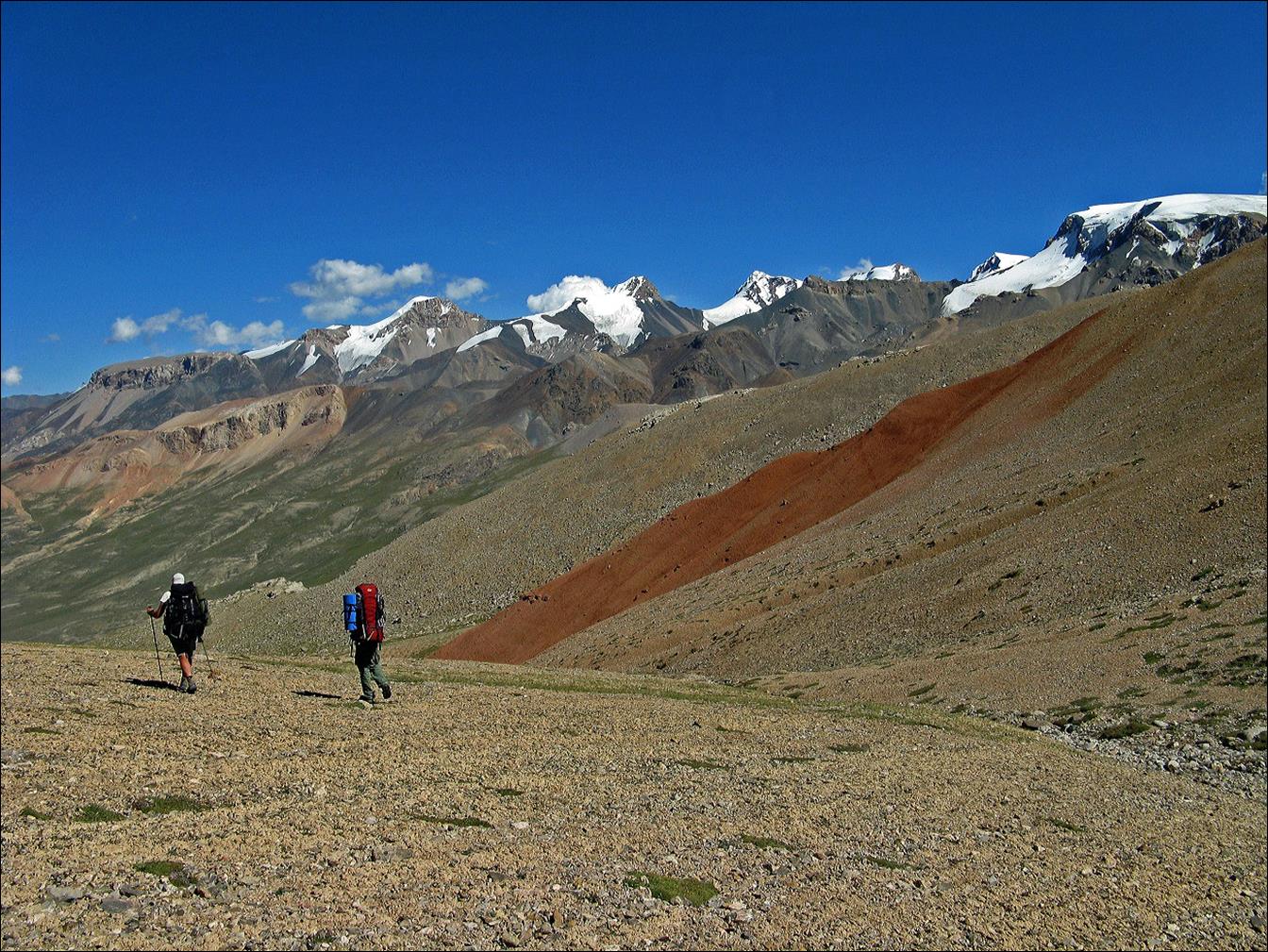
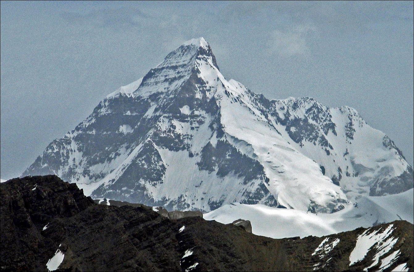
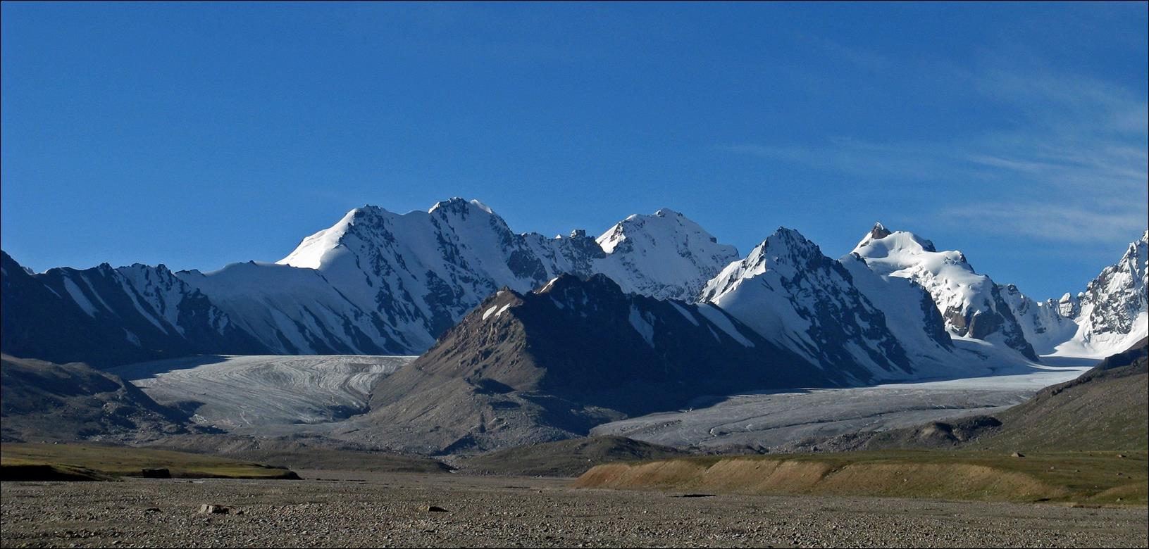
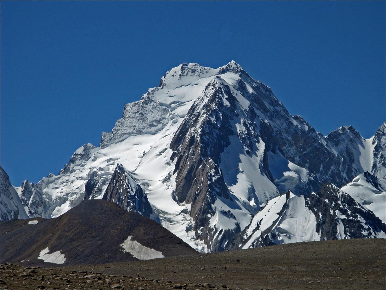
Peak Dankov
(5982m) and its neighbors seen from various locations along the Kotur valley.
Peak Dankov is always the rightmost (west most) peak.
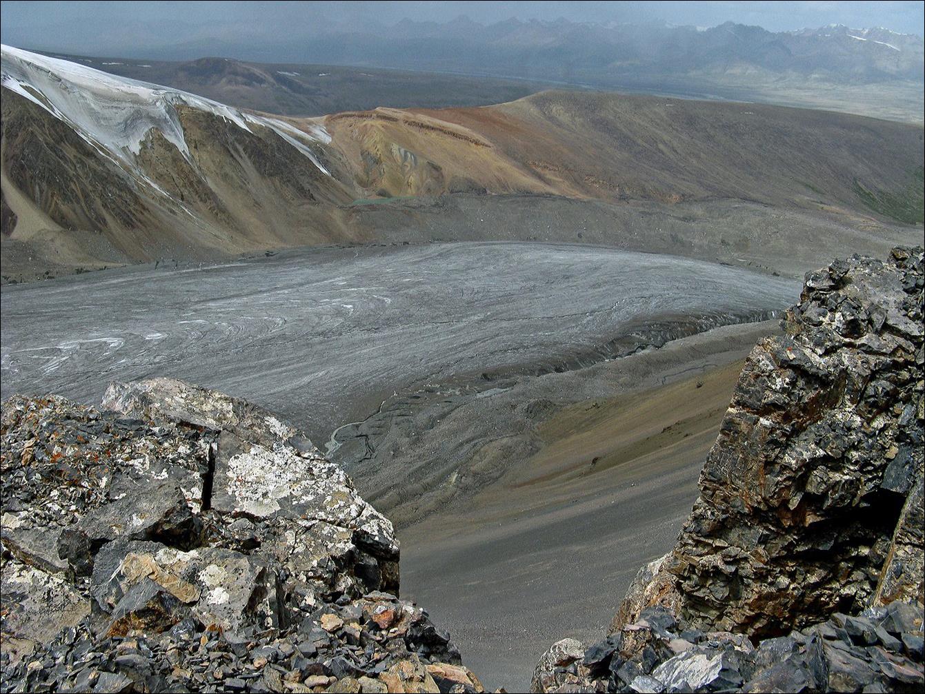
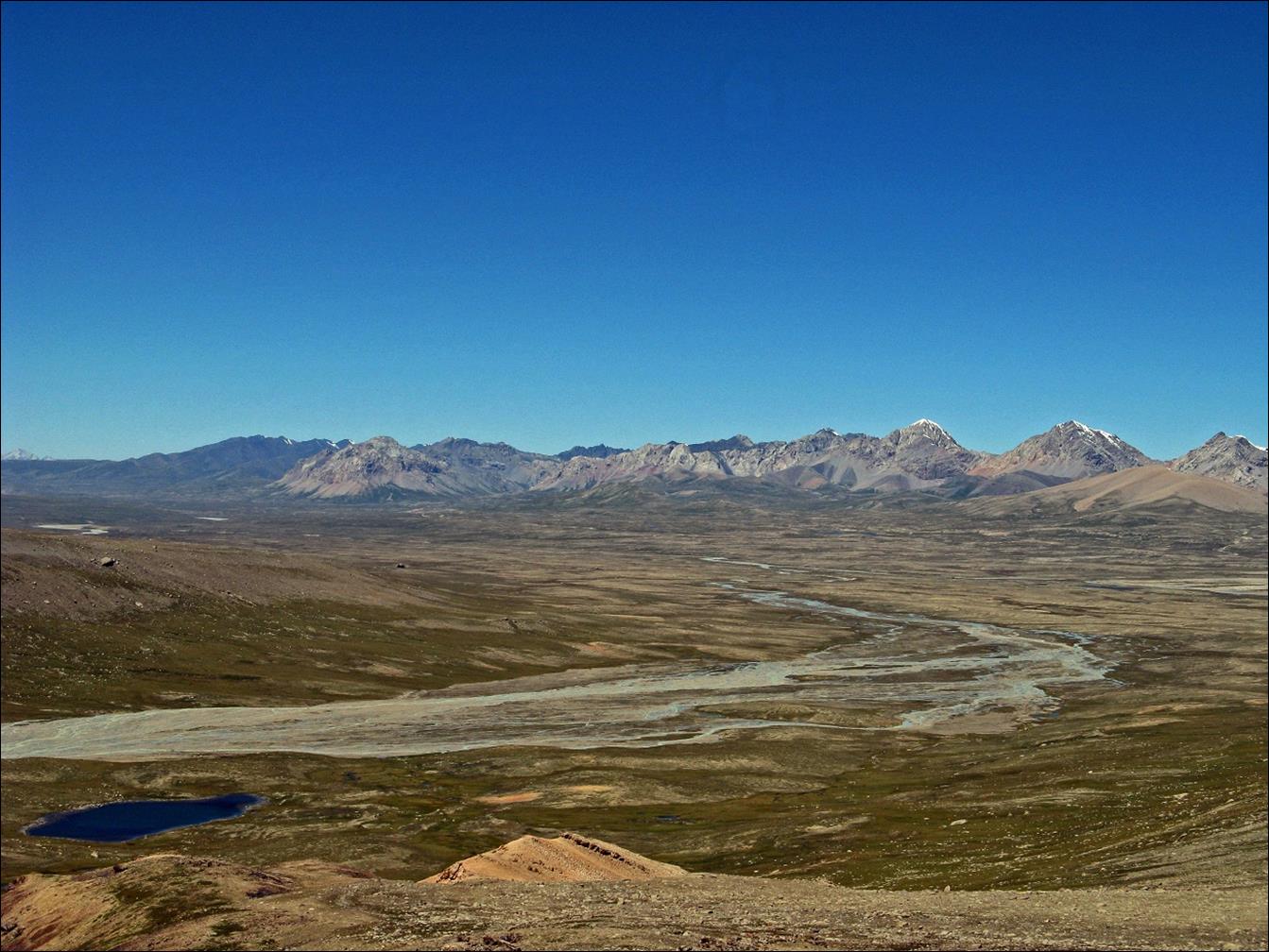
Smaller
mountain range on the northern side of the Kotur valley (west of Kjubjurgenty pass).
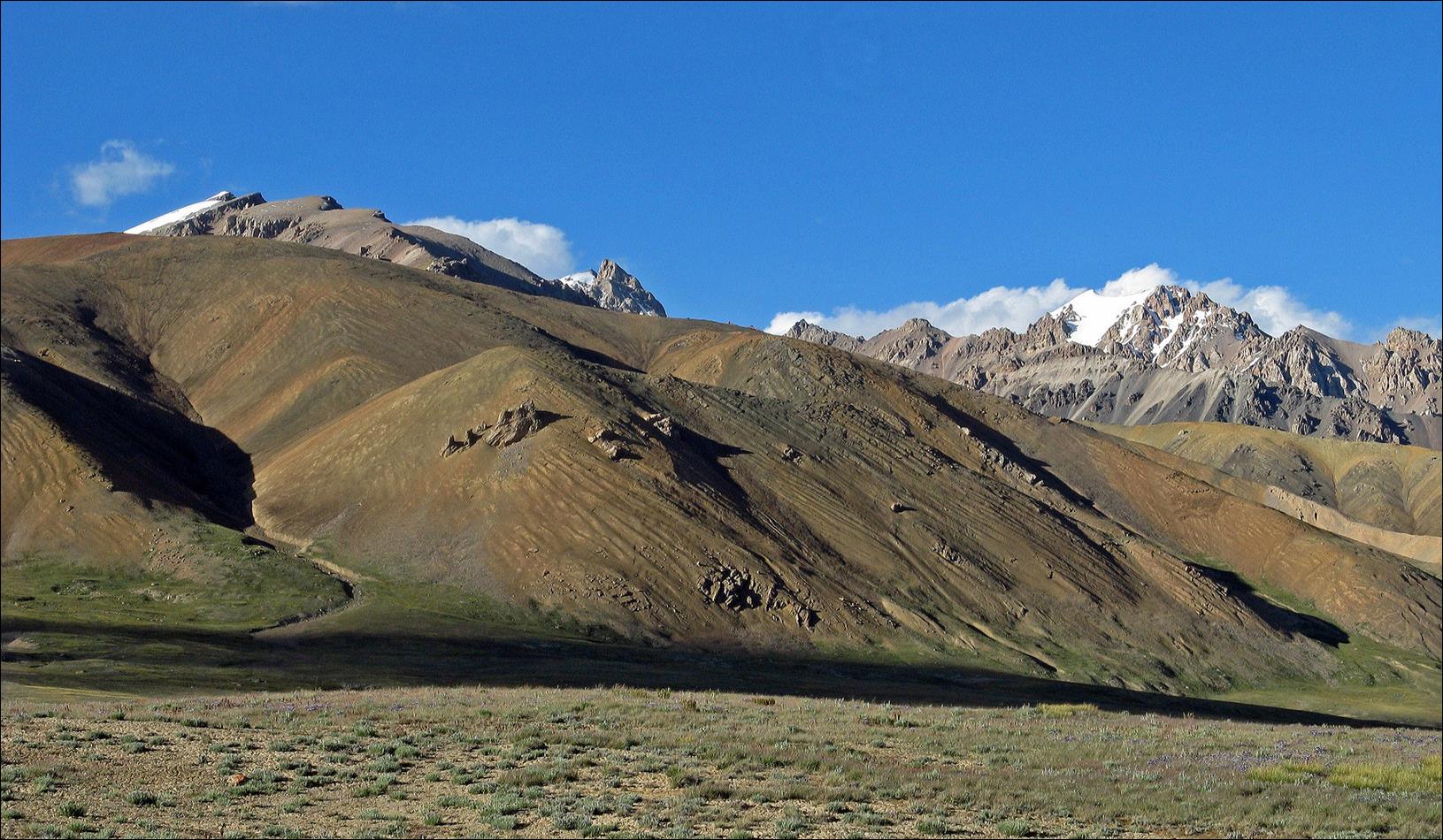
Looking
north toward Kjubjurgenty pass from the Kotur valley.
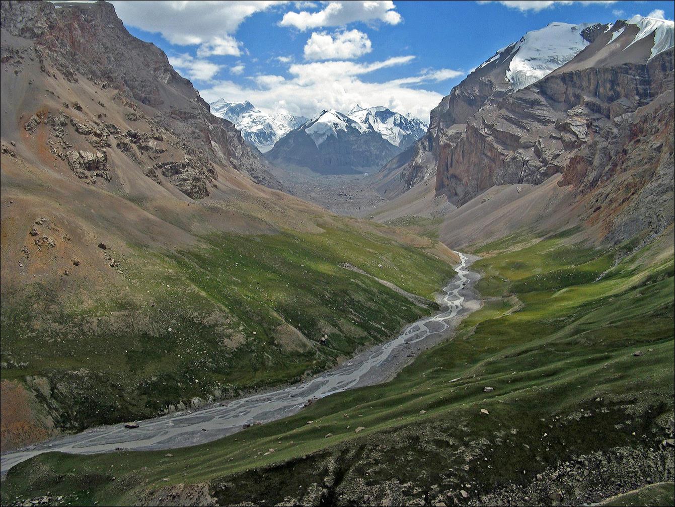
Crossing Djurek pass.
Descent into
the valley of the Ugenzi river.
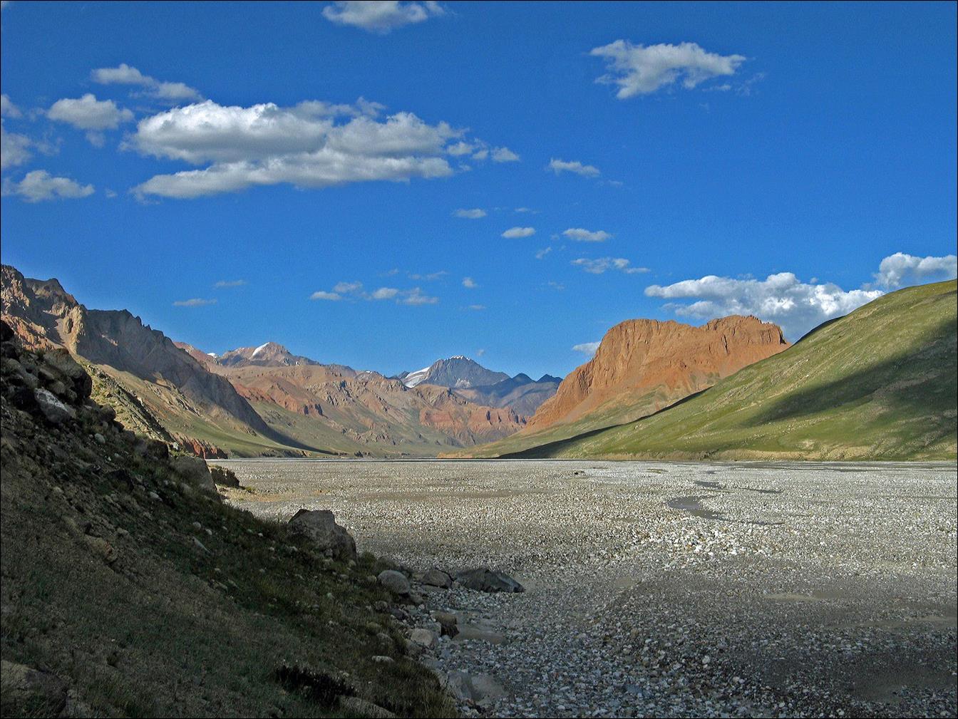
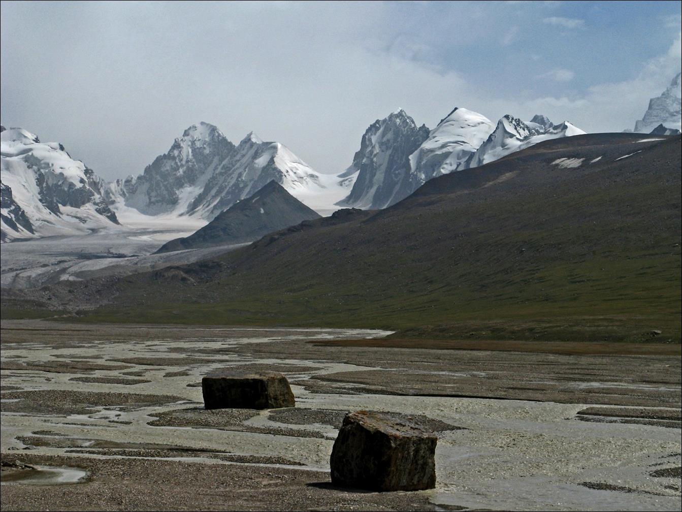
In the valley of the Uzengi river
just north of Peak Dankov. Unfortunately, the river was too big to cross.
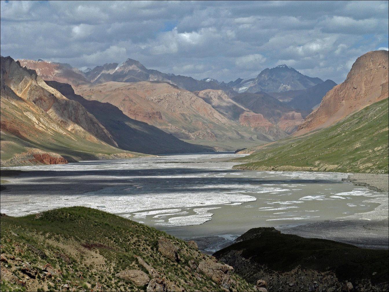
Uzengi river (seen from
point A in itinerary map). Peak Dankov is visible on the left side of the river
(south bank).
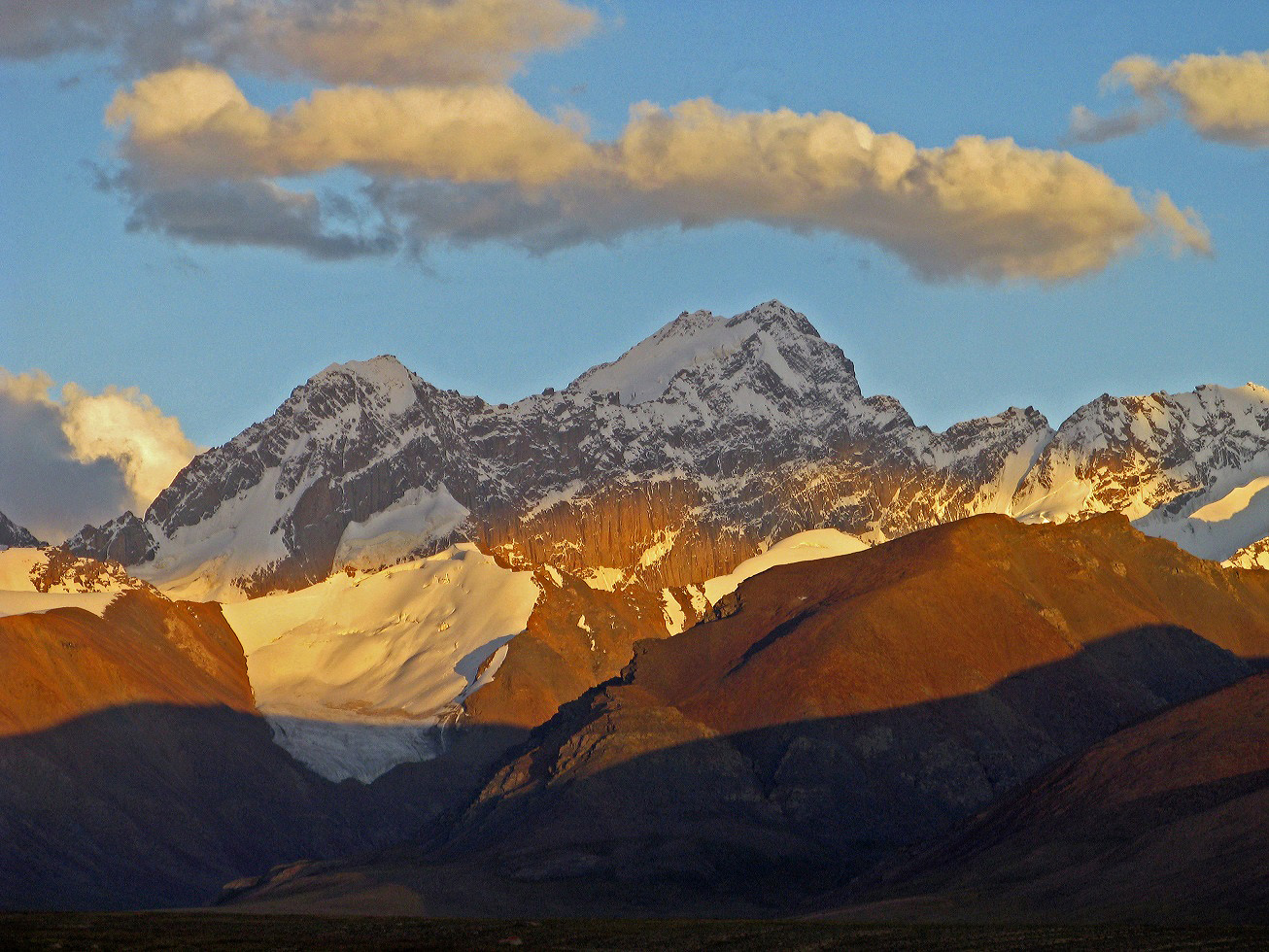
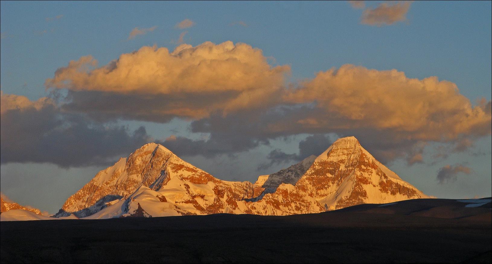
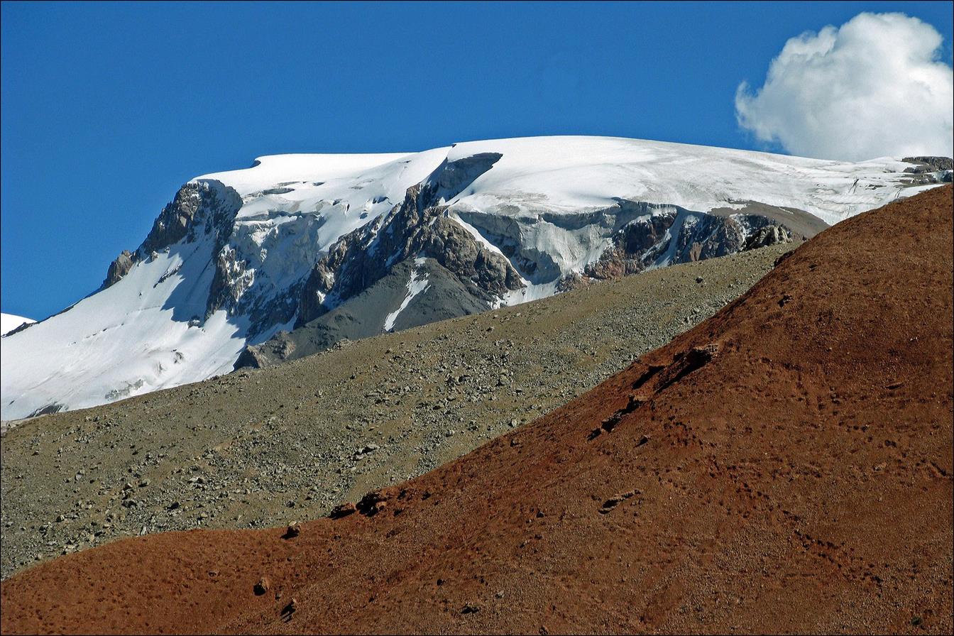
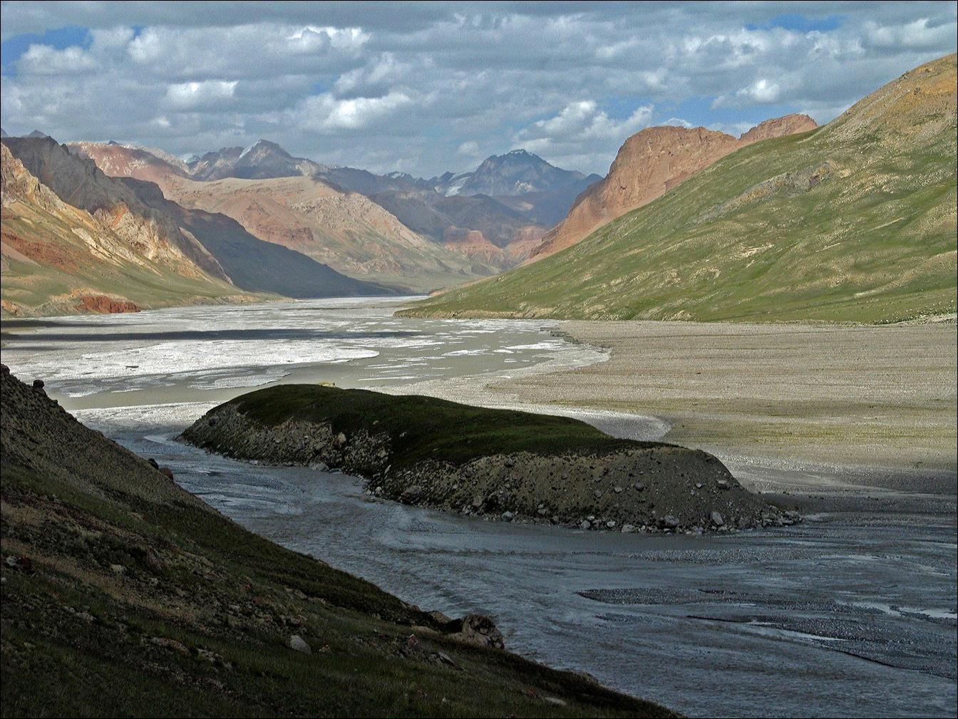
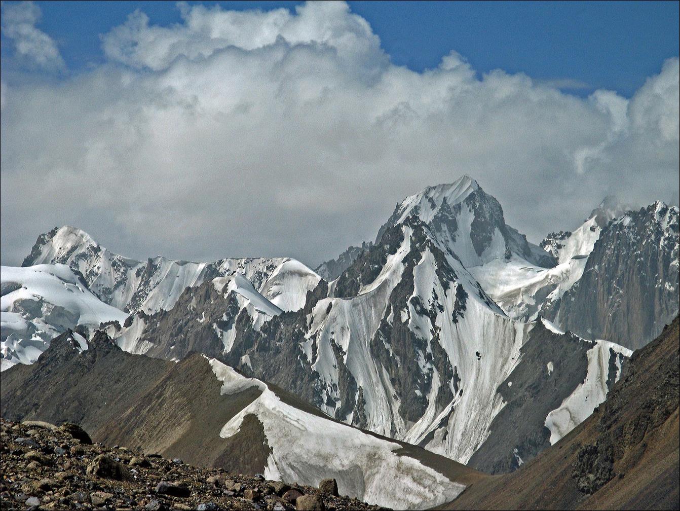
Closer views of Peak Dankov.
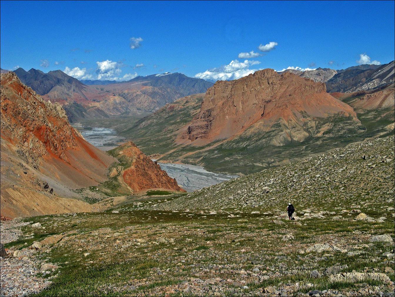
View from point B in itinerary map.
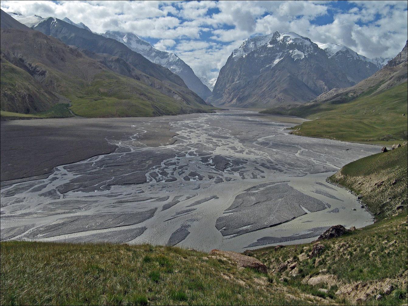
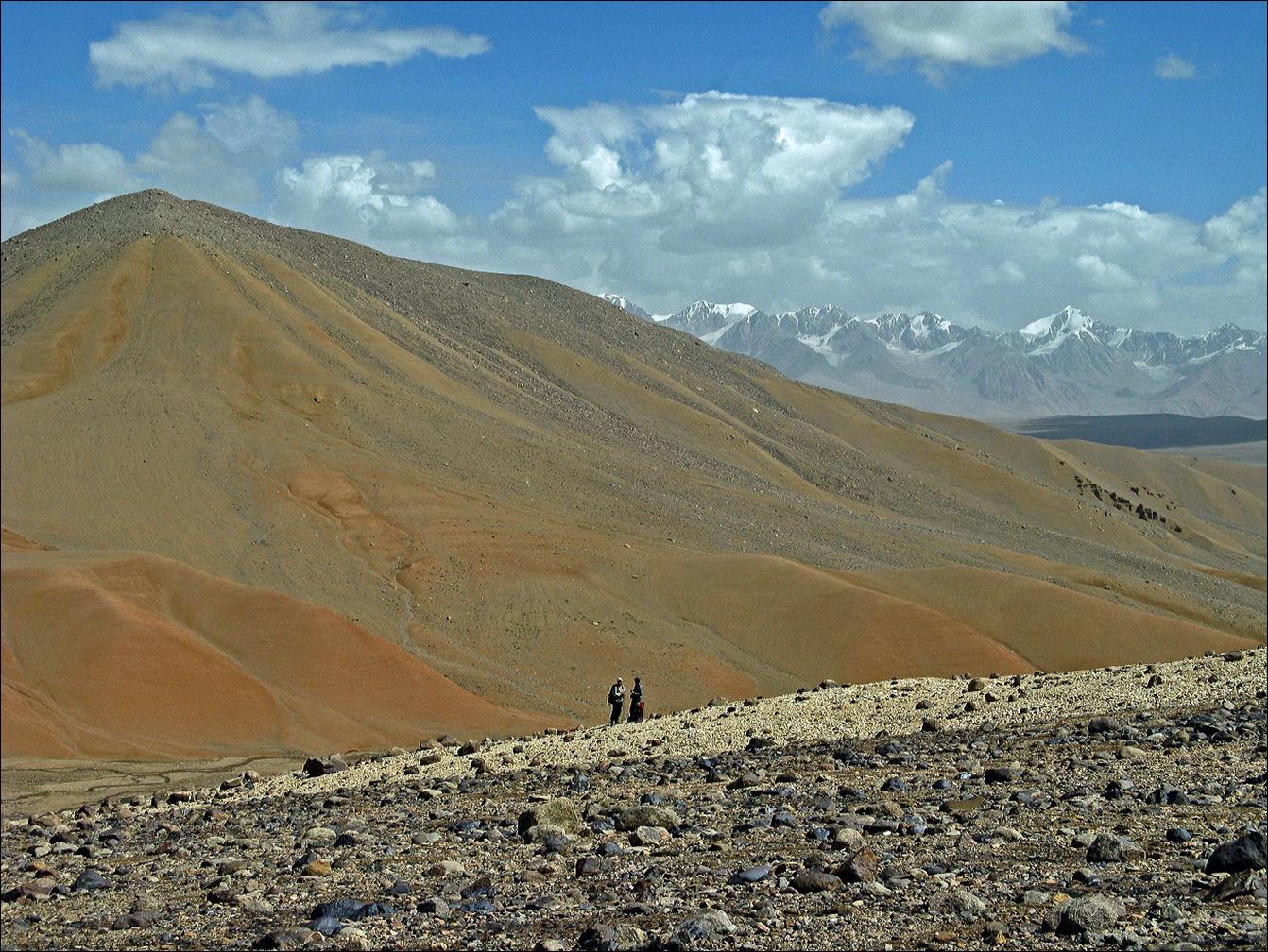
View from point C.
On our way to point D.
Views from point D.
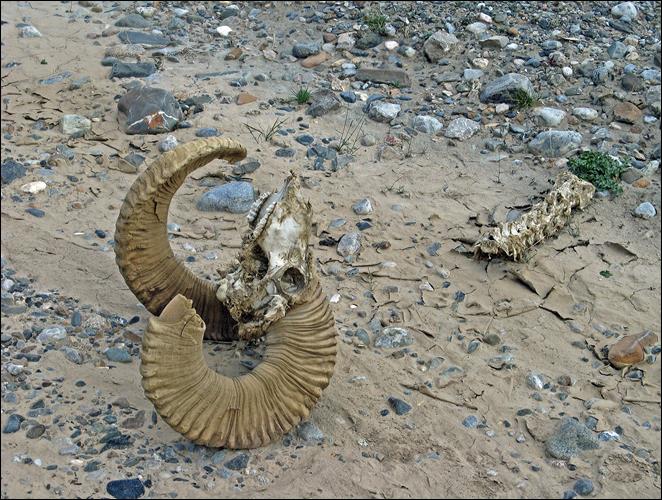
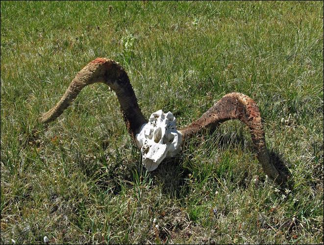
Marco-Polo sheep on our way between points D and E. They are
not easy to approach...
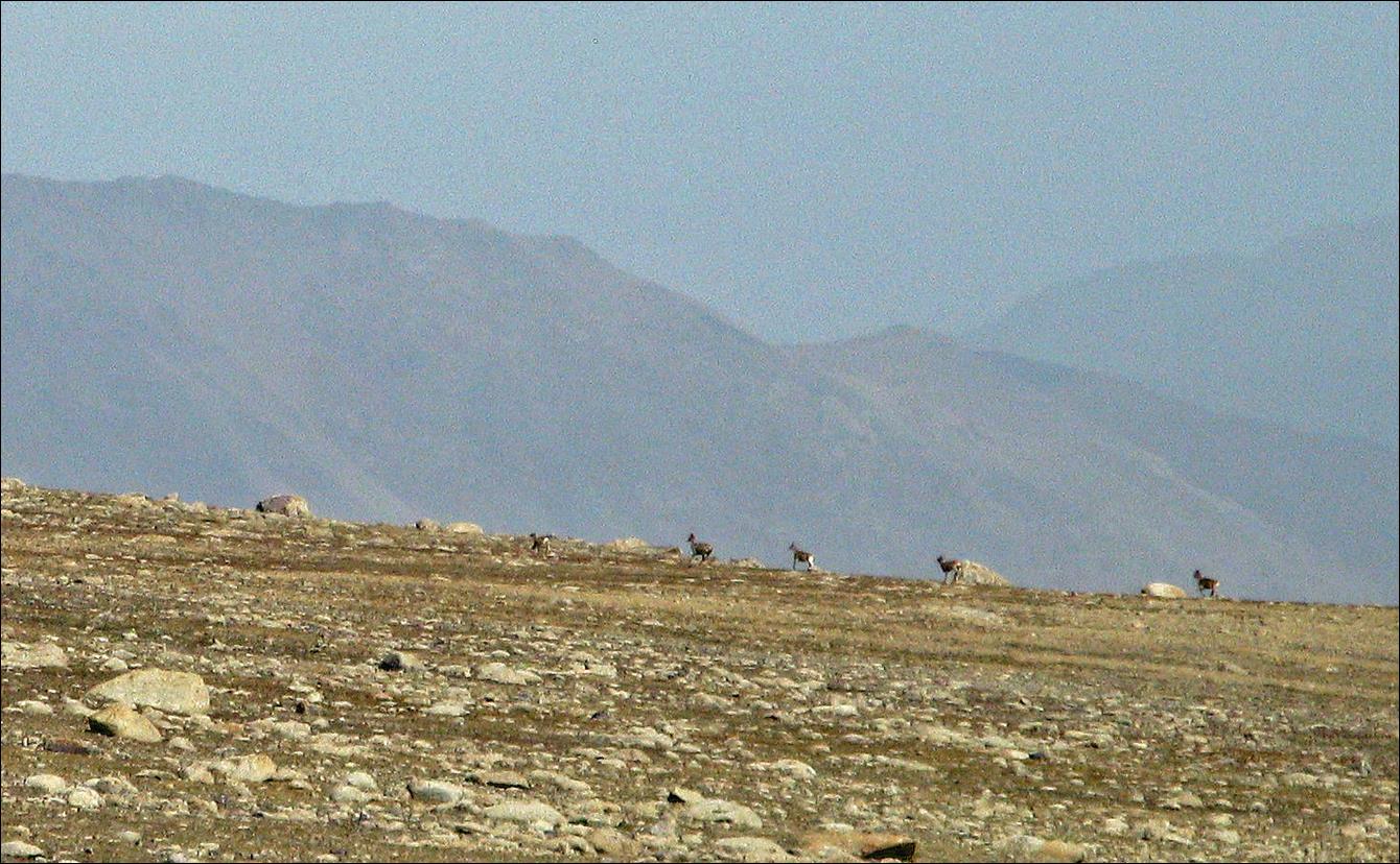
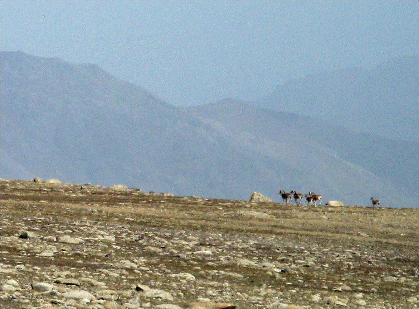
...unless they are dead.
|
|
|
|
|

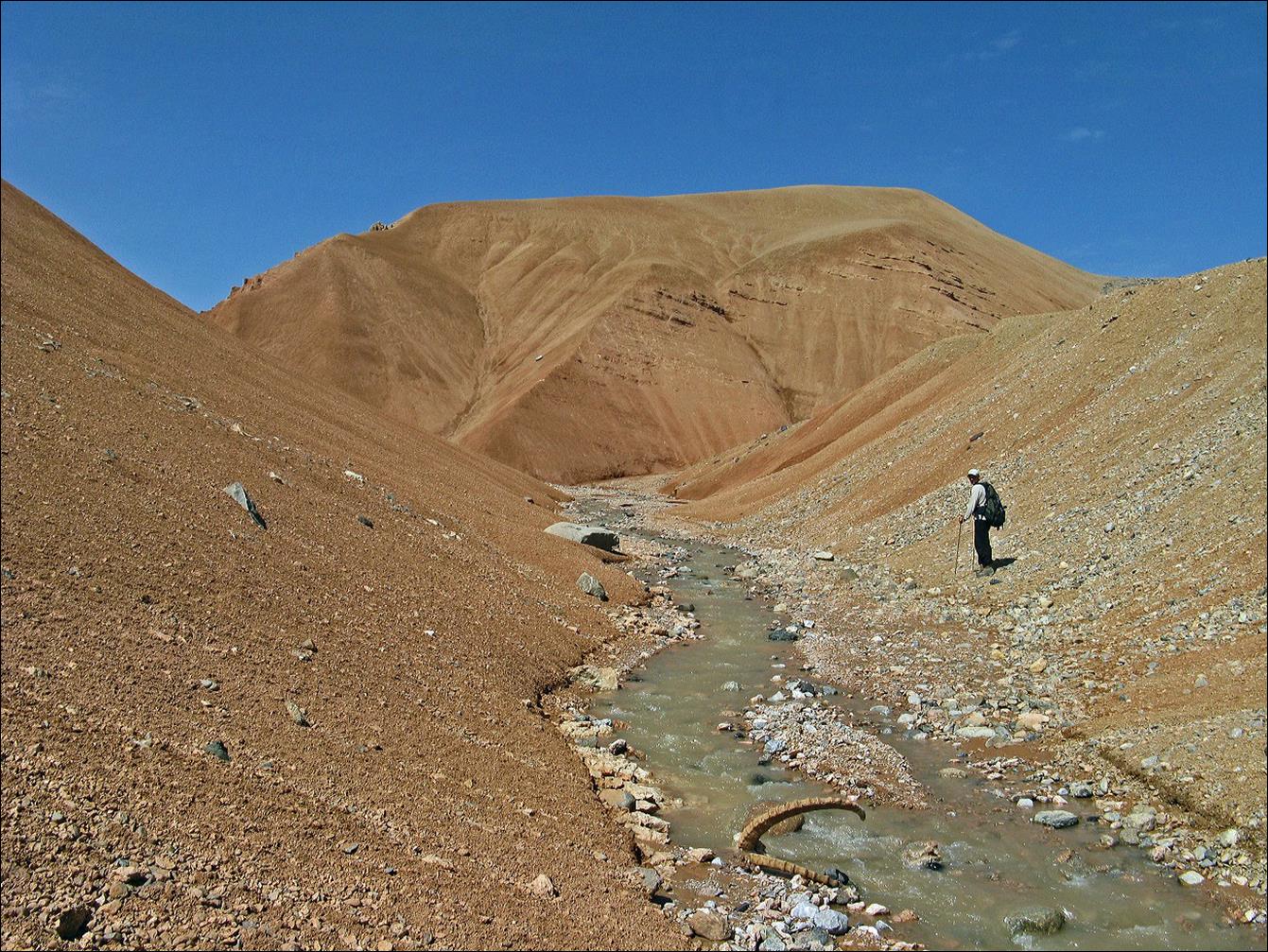
Views from point E.
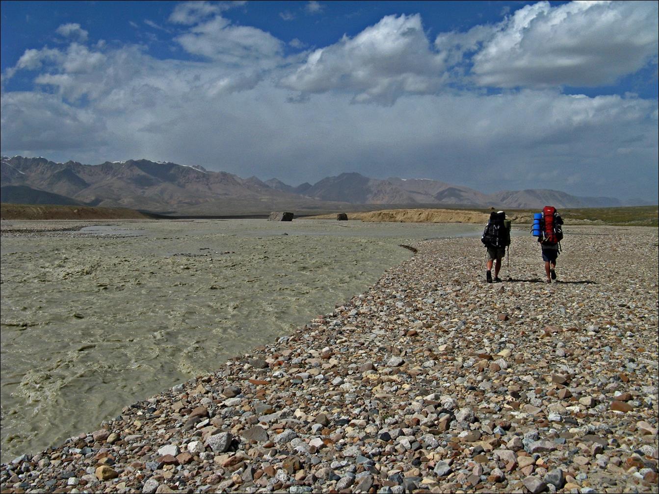
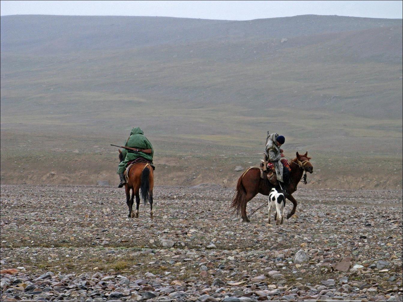
One of several rivers we had to ford.
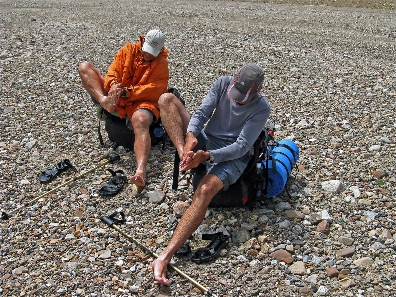
Vyacheslav and Maksim warming their feet after fording the
river.
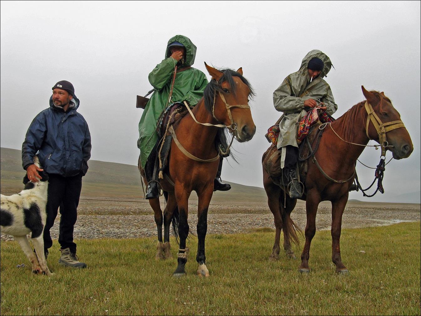
We set a camp near that river. There we received the visit of
border guards on horses. This was not too surprising since the border with
China (Xinjiang Autonomous Region) was very close. Maxim is on the left in the
first photo. The dog belonged to the guard patrol.
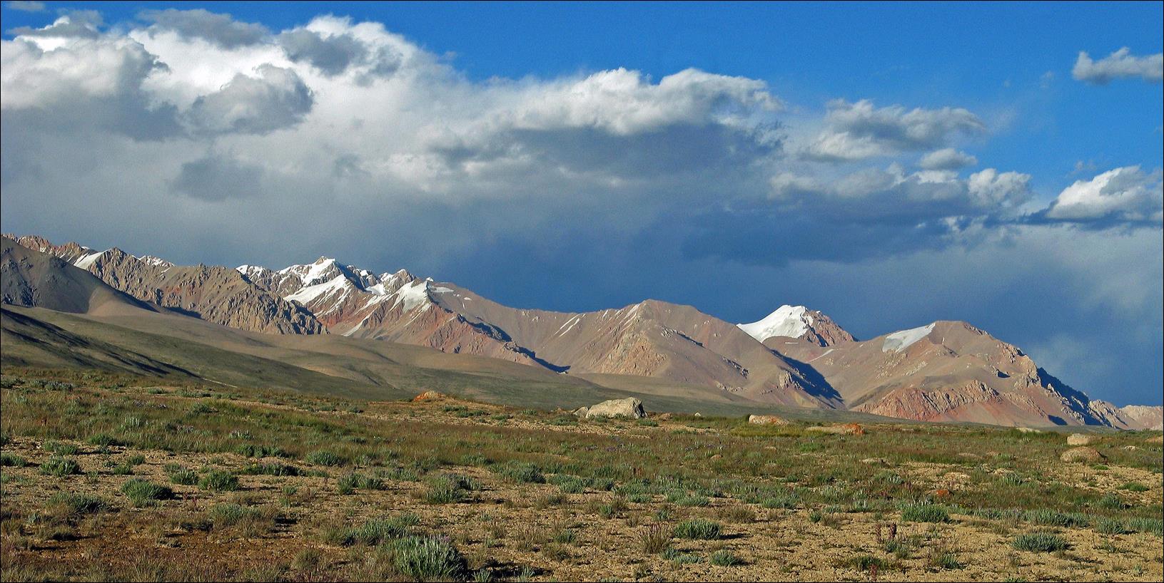
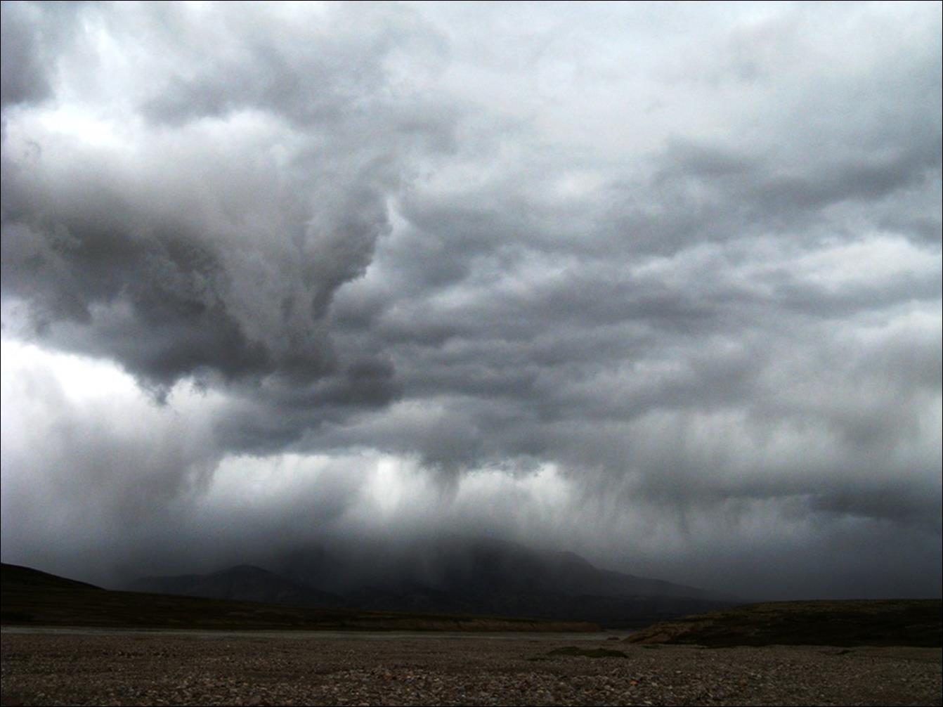
Usual weather in late afternoon.
Peak Kyzyl-Asker viewed from point F.
River running from peak Kyzyl-Asker.
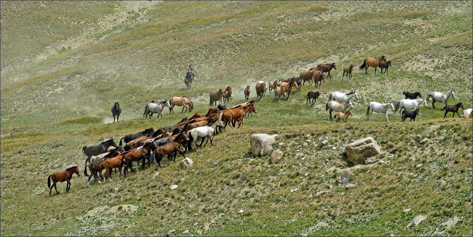
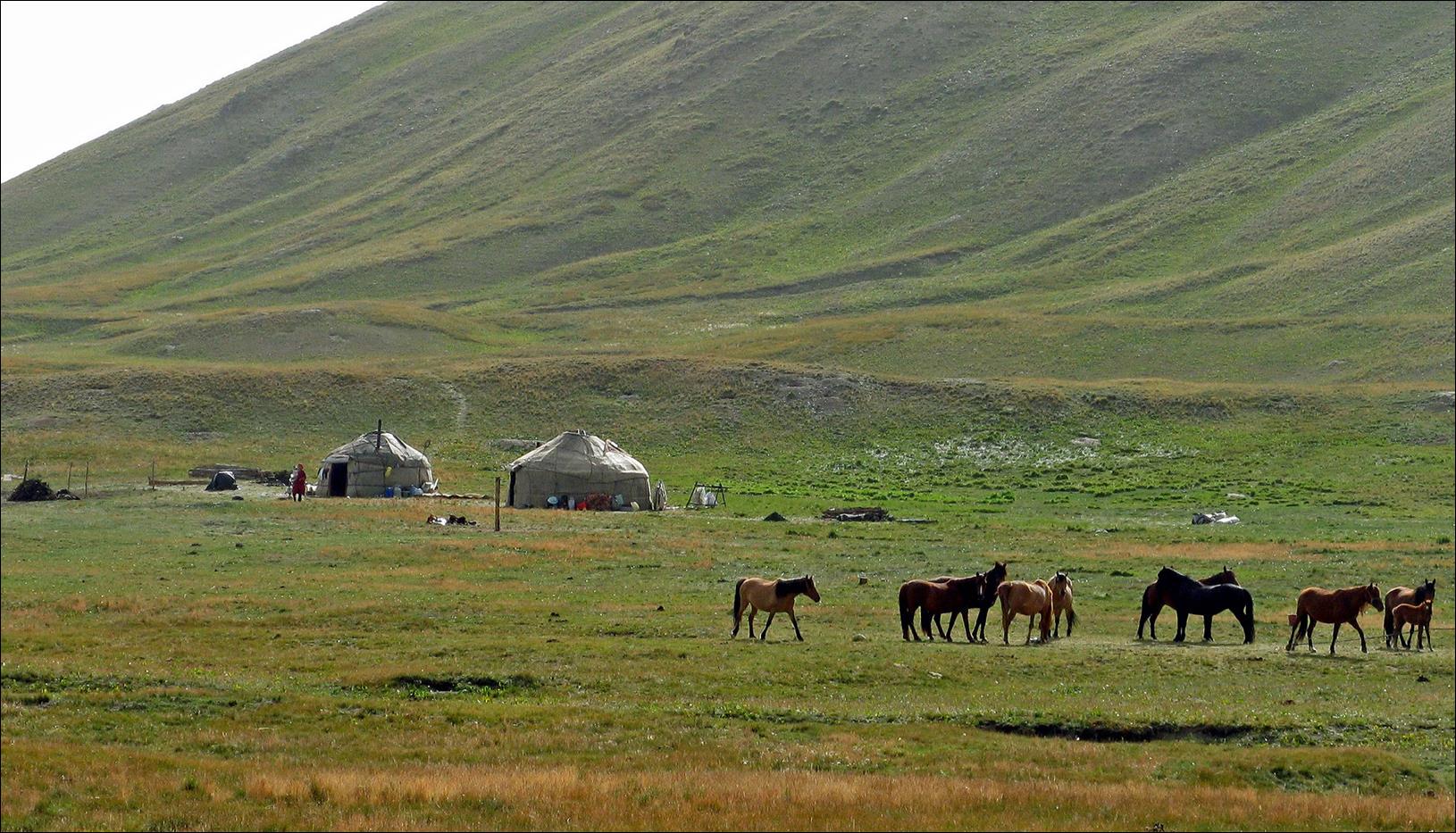
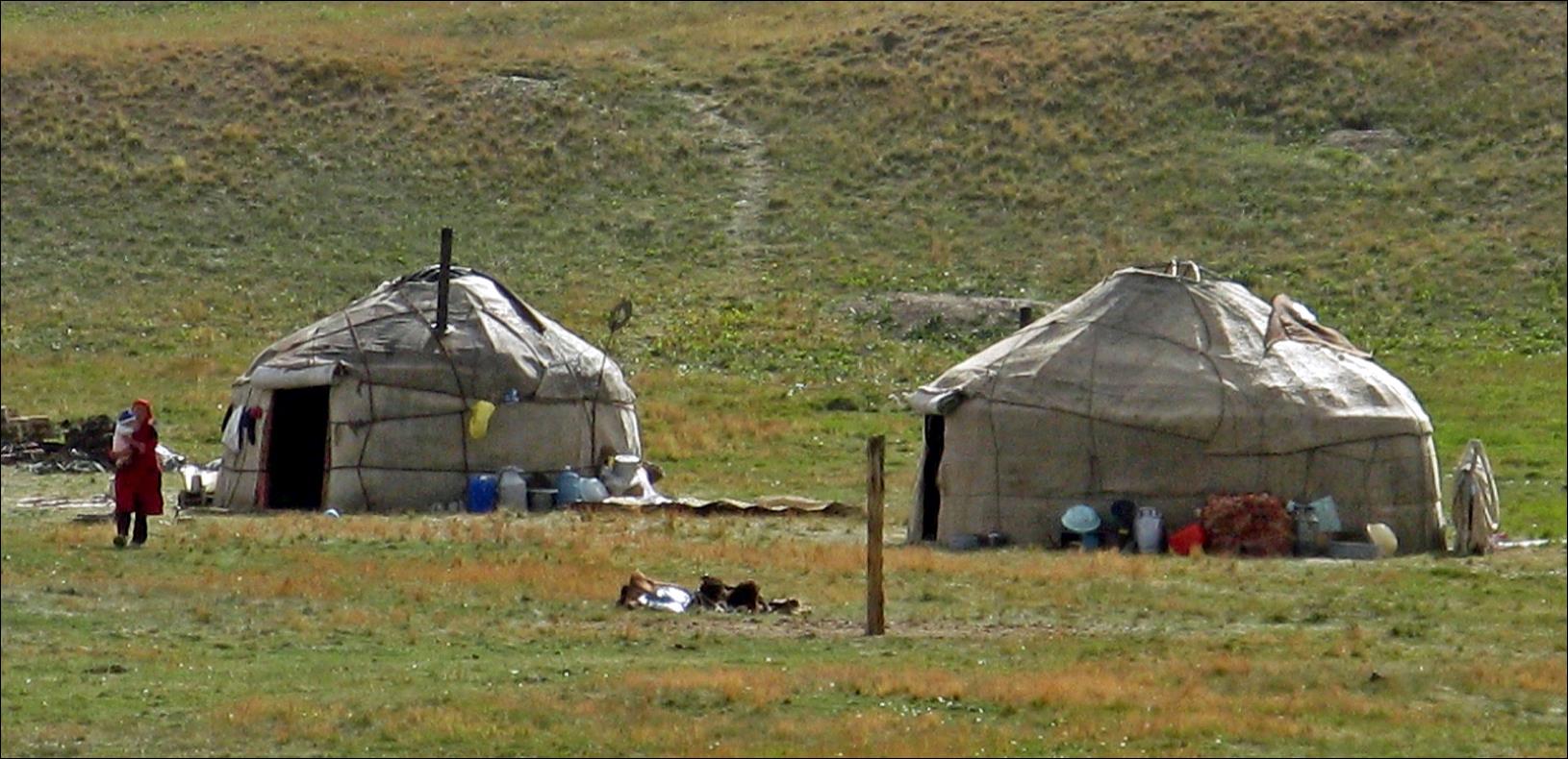
Kosh scenes on our way back (point G in the itinerary map).
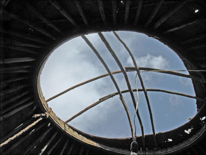
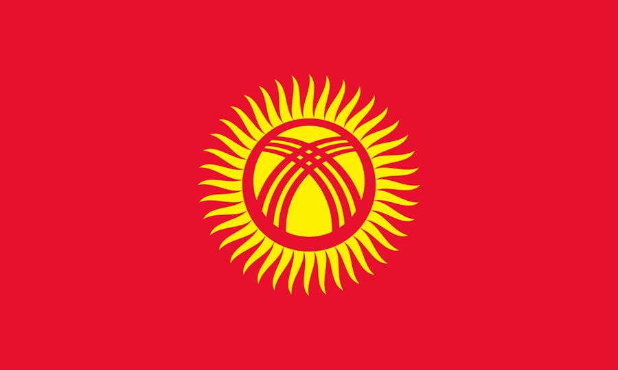
Crown (roof center, called ″tunduk″
in Kyrgyz) of the traditional Kyrgyz yurt. The pattern of this crown is featured
at the center of the Kyrgyz flag inside a stylized sun with 40 rays (right).
|
|
|
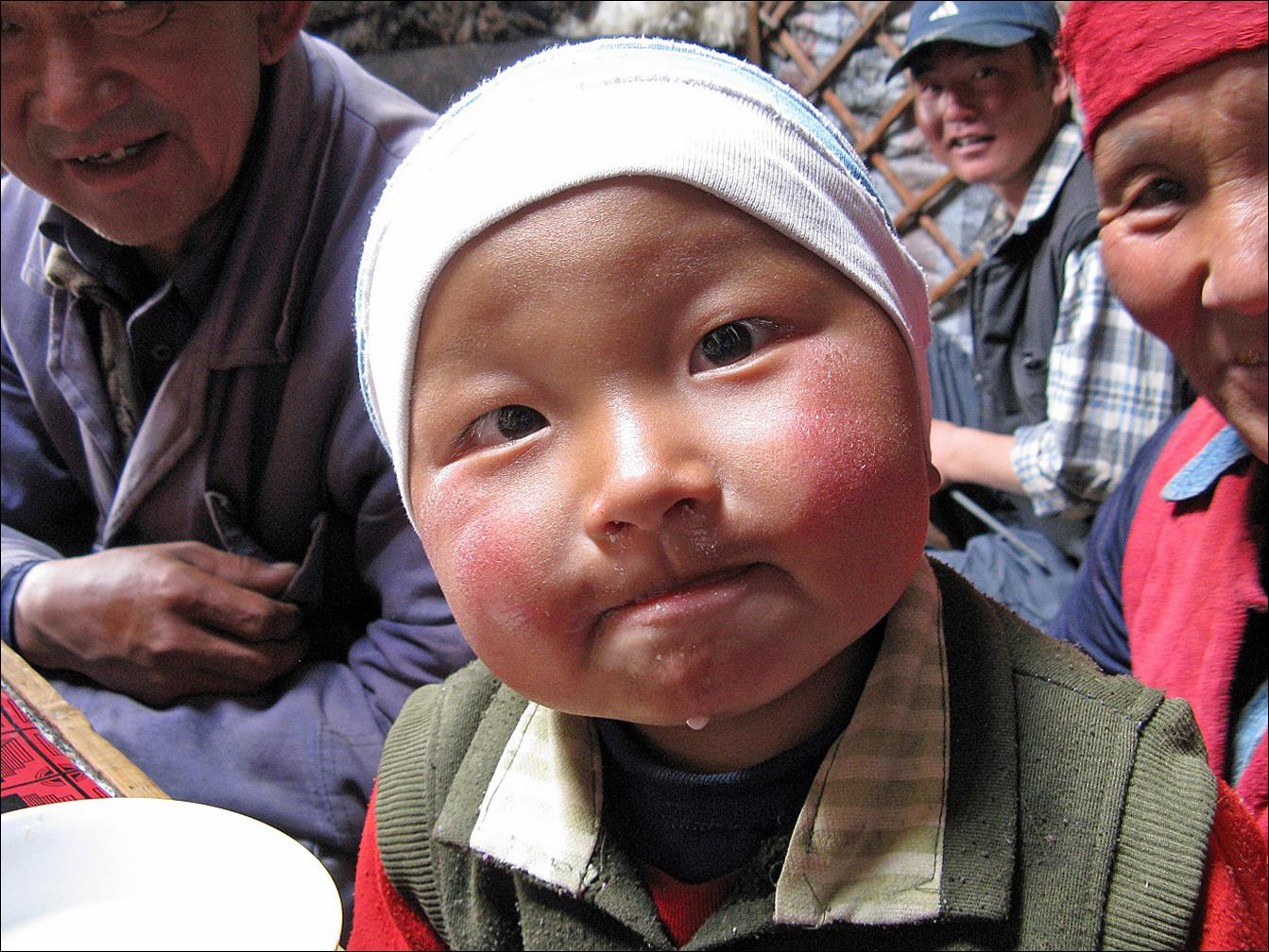
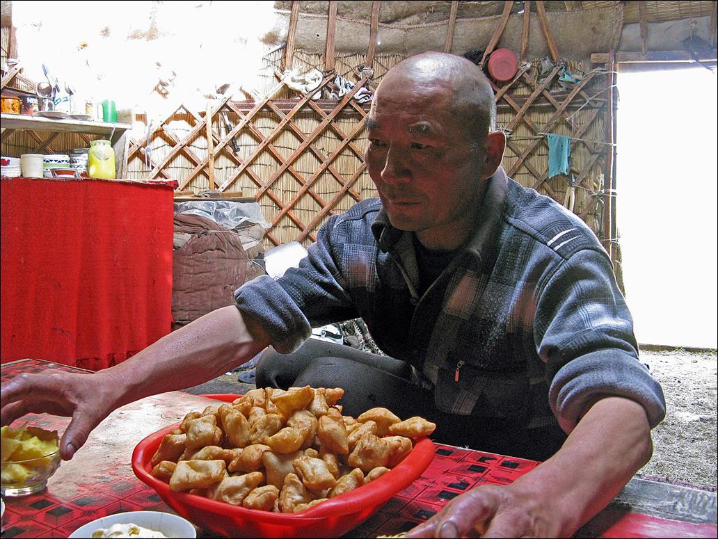
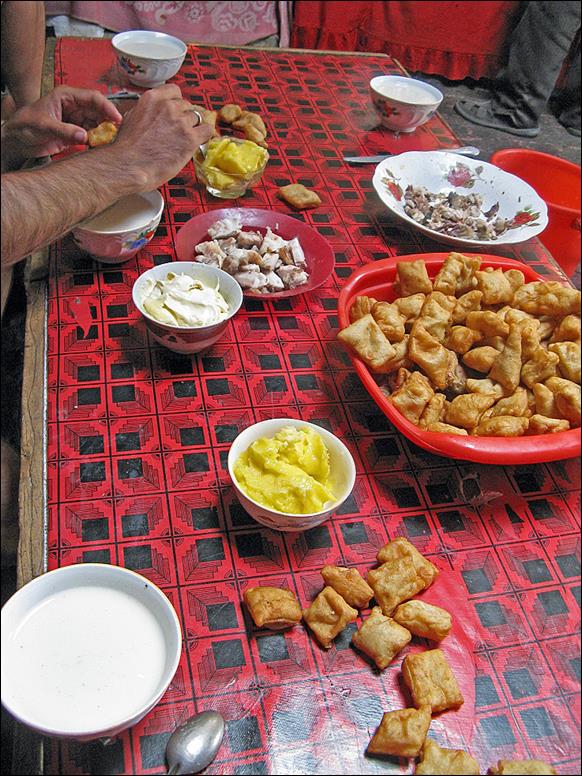
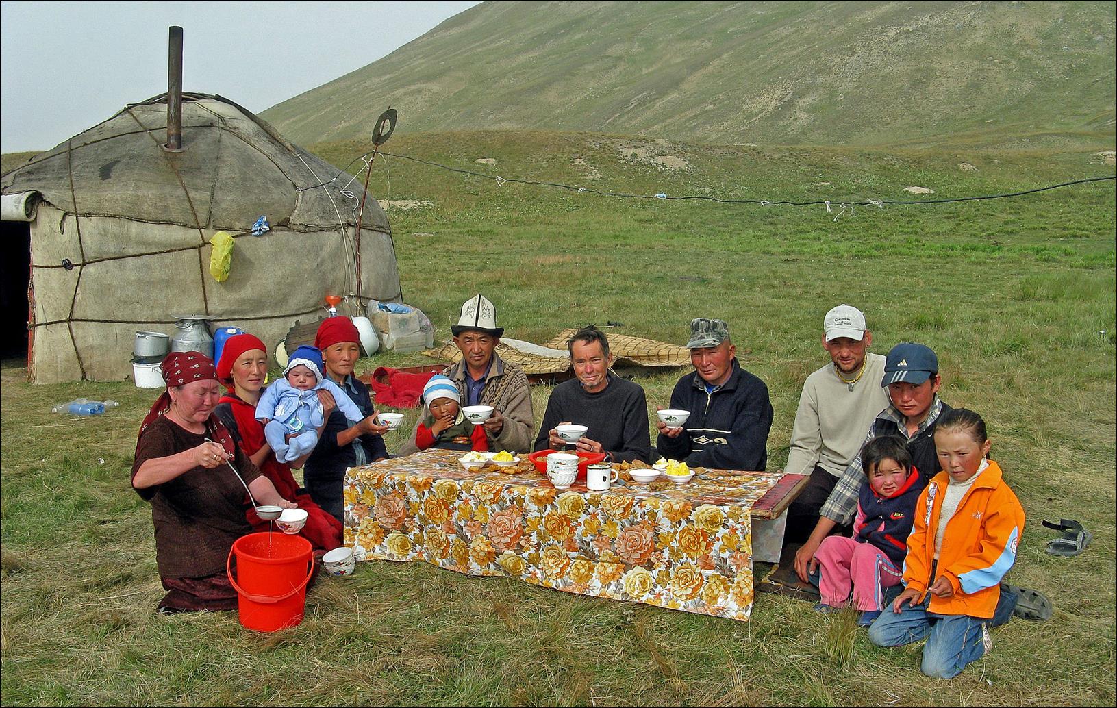
A very hospitable Kyrgyz family, with whom we shared meals.
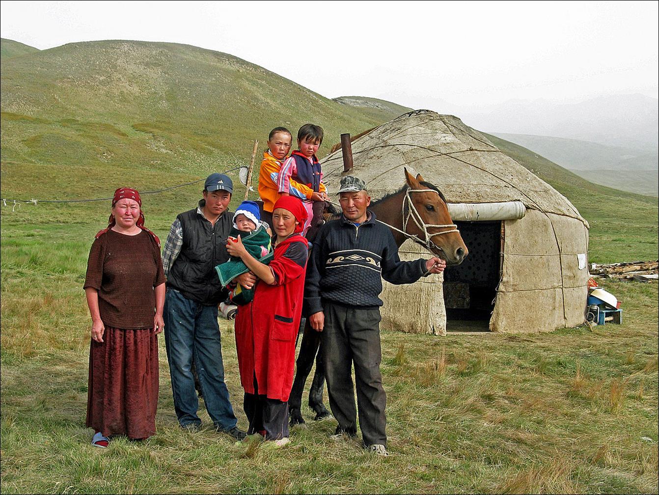
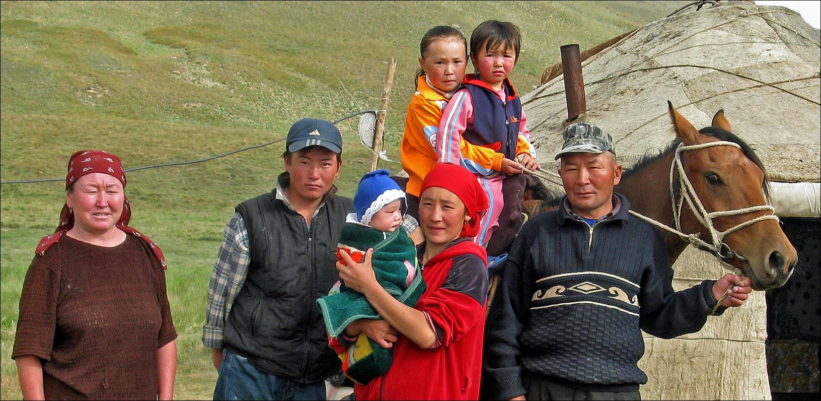
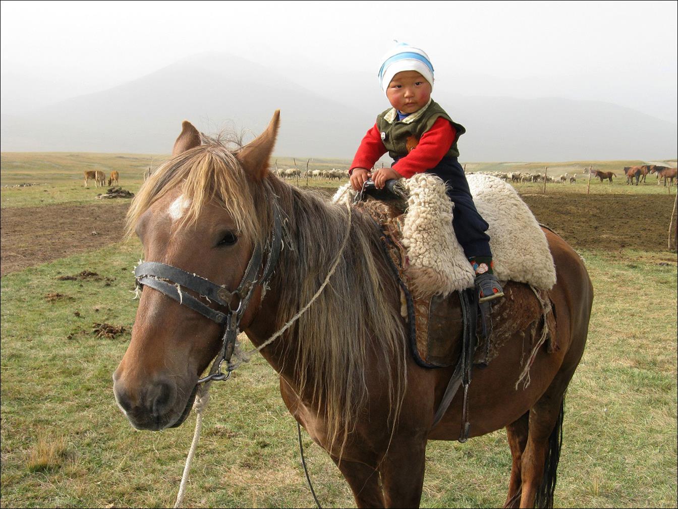
A young member of this family. He celebrated his first
birthday when we were there, and already he was sitting on a horse!
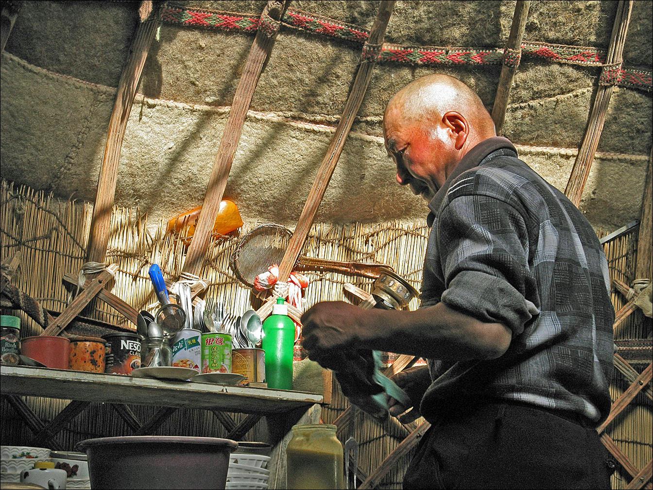
Inside their yurt.
|
|
|
We took morning breakfast outside altogether (Maxim took this
photo). Kumis (fermented mare‛s milk) was the main drink.
![]()
Return to Kyrgyzstan
2008 main page