La Gomera Island, Canary
Islands, Spain (November 2011)
![]()
Return to my mountaineering/trekking/travel webpage
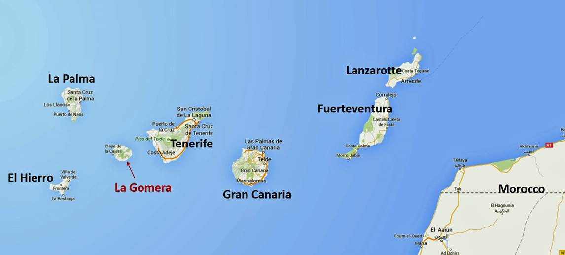
The Canary
archipelago is located off the southern coast of Morocco and consists of 7
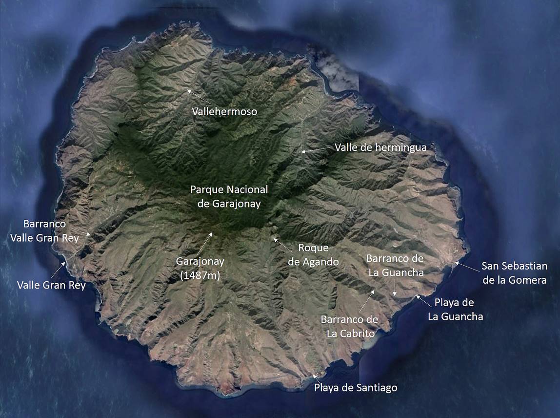
main islands and some smaller islands and islets, all volcanic in origin. La Gomera is the second smallest of the 7 main islands. It
lies ~35km west of the largest one, Tenerife. It is roughly circular in shape
with a diameter of ~23km and rises up to 1487m at Garajonay
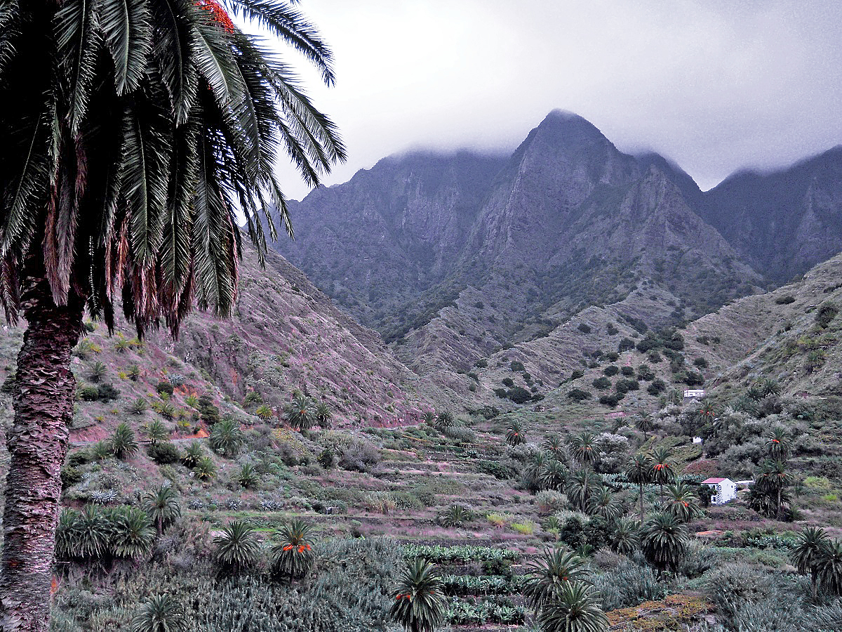
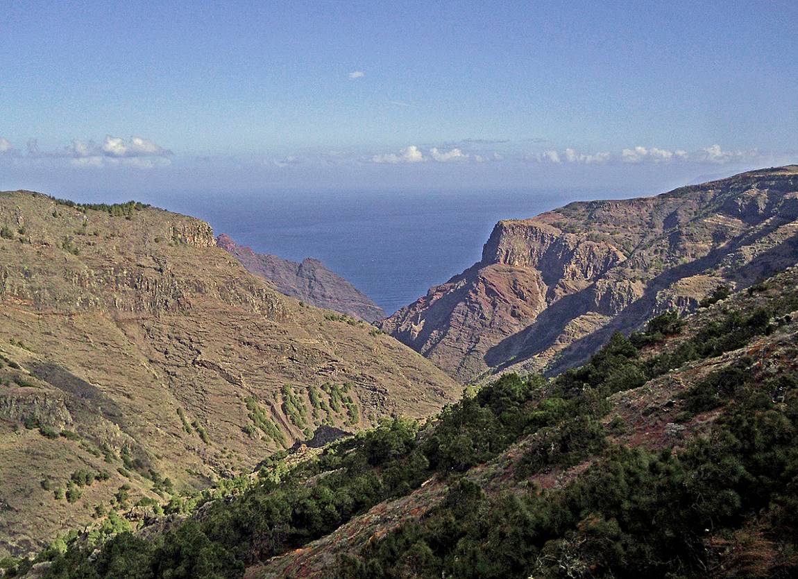
Peak. Deep ravines called ″barrancos″ split the
island into sectors like a pie chart. Many day walks are possible along trails
that often lie in rugged, heavily eroded terrain. The only town is San
Sebastian de La Gomera. In 2004 the total population
of the island was ~22,000 and that of San Sebastian was ~8,000.
The island
was the last stop of Christopher Columbus before crossing the Atlantic in 1492.
(Unfortunately,
on this trip I had a terrible camera.)
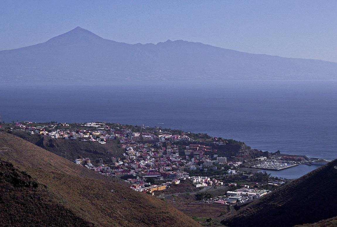
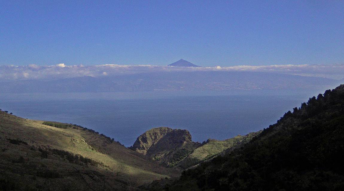
View over San
Sebastian de La Gomera, with Pico del
Teide on Tenerife Island in the background. At 3718m El Teide is the highest
point in Spain.
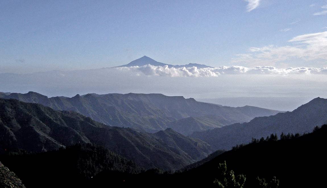
Another view of El Teide from the center of La Gomera.
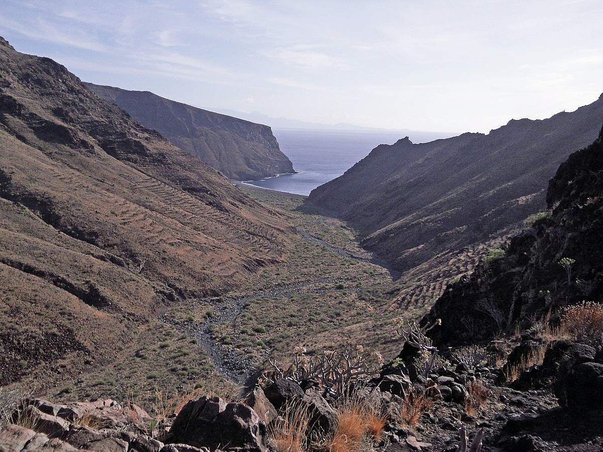
Playa de La Guancha.

Barranco de La Guancha.
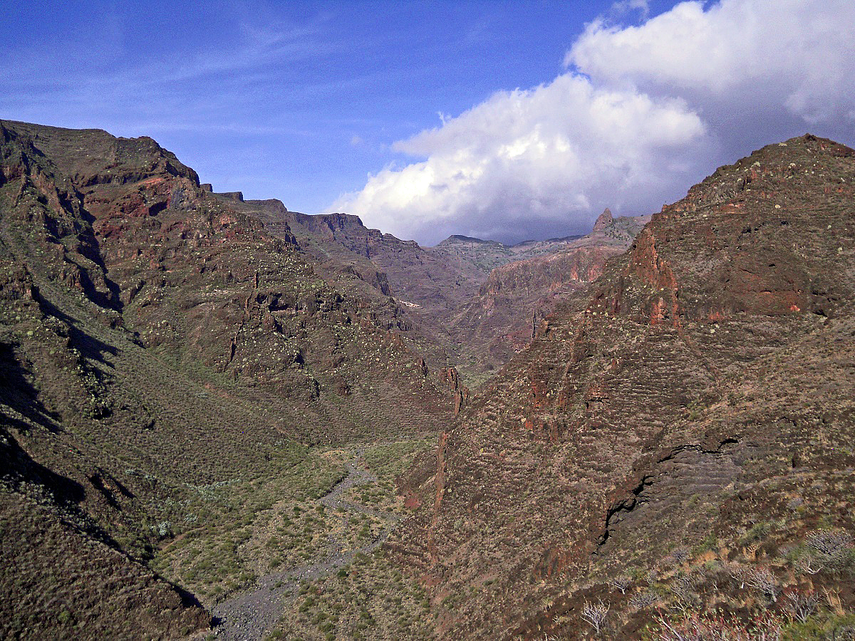
Barranco del Cabrito.
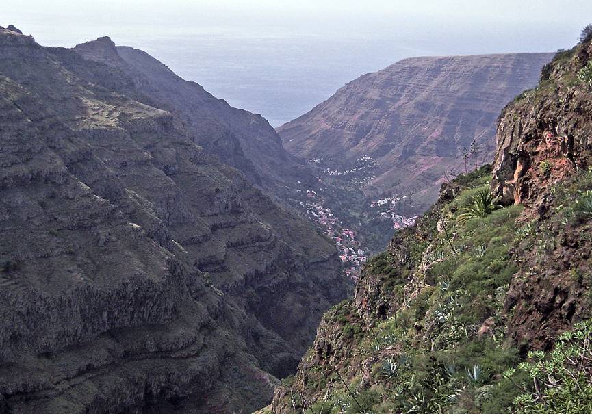
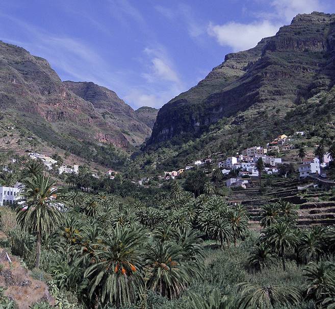
Barranco Valle Gran
Rey, seen from the top and the bottom.
|
|
|
Roque de Agando
(1251m).

Scenery near Vallehermoso.
Valle de Hermingua.
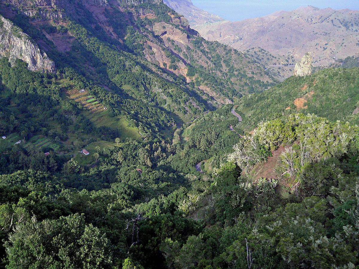
Barrancos on the east
side of La Gomera, north of San Sebastian.
![]()