Mexico: State of Oaxaca
(2013-2021)

(This banner shows a collection of small, colorful, painted wood
carvings, a typical Mexican folk art that originated in the Oaxaca valley.)
Return to main Mexico (2002...) page
The adjacent states of Oaxaca and Chiapas share many
characteristics. They are two of the most interesting states of Mexico, with
major archeological sites, thriving folk art and culture, famous food, and
gorgeous coastline. Both states are rugged and mountainous, somewhat isolated
from central Mexico. Traveling through them takes time, even for short
distances. Their people are perhaps more-independent minded than in other parts
of Mexico, as illustrated by the numerous demonstrations occurring in Oaxaca
City and by the Zapatista movement in Chiapas. Click here
to access the page on Chiapas.
(2013) Oaxaca City and its valley:
Oaxaca City (pop. 300,000) is the capital of the state of Oaxaca. Founded
in 1532, it sits at 1555m in a valley located within the Sierra Madre
mountains.
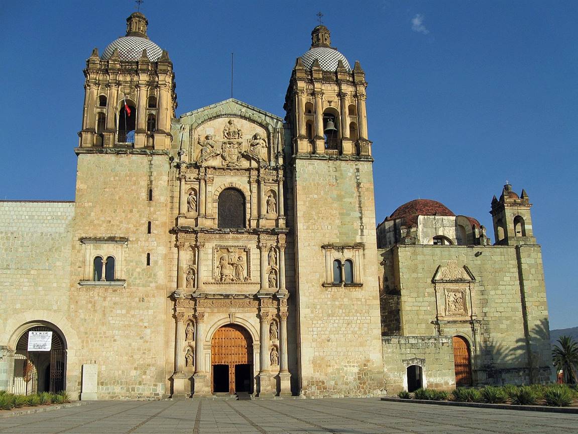
Church of Santo Domingo in Oaxaca City.
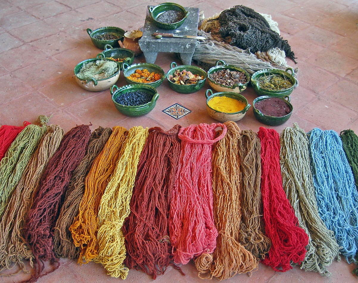
Natural colorful dyes.
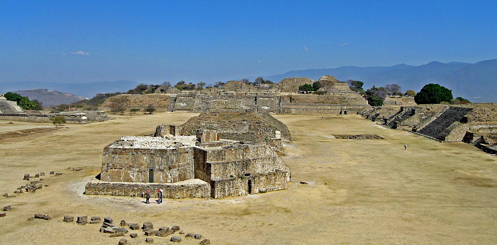
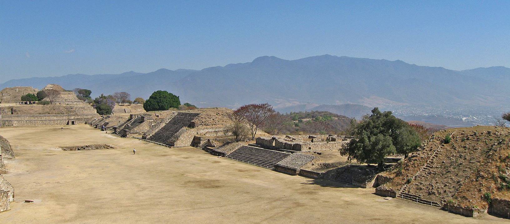
Monte Alban, a major archeological site founded around 500BC,
located on a hill above Oaxaca city.
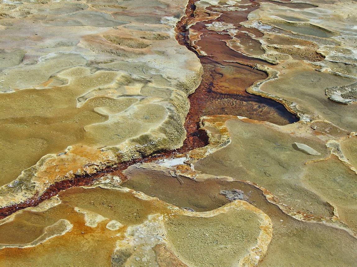
Mineral springs of Hierve El Agua in the
Oaxaca valley.
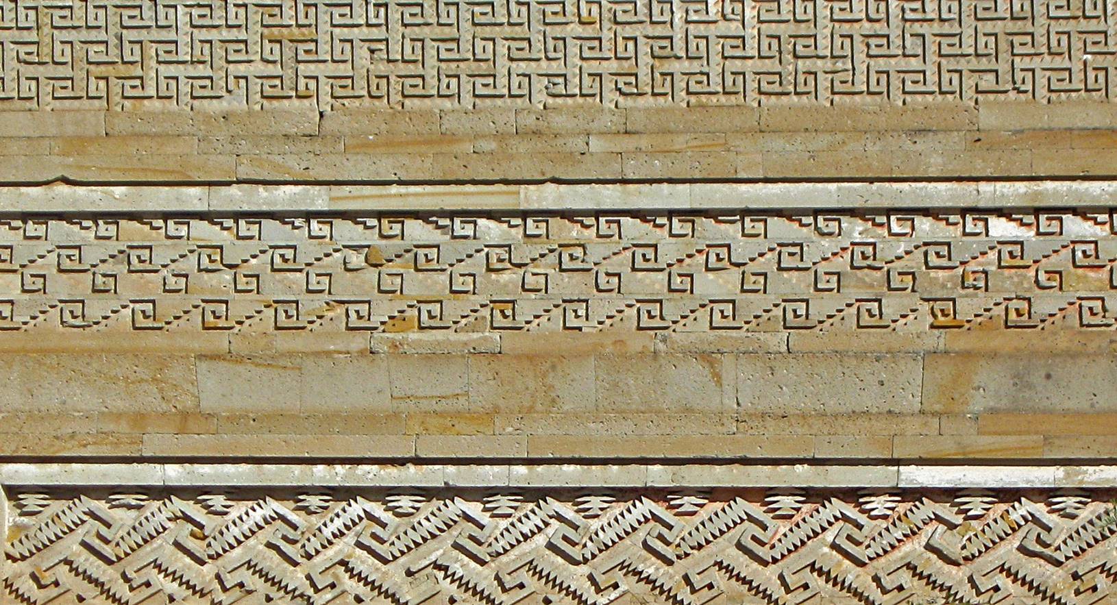
Geometric patterns on the walls of the Zapotec palace of Mitla dated to between 450CE and 700CE, 44km east of Oaxaca
City.
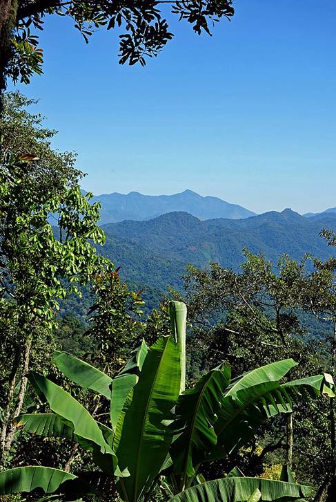
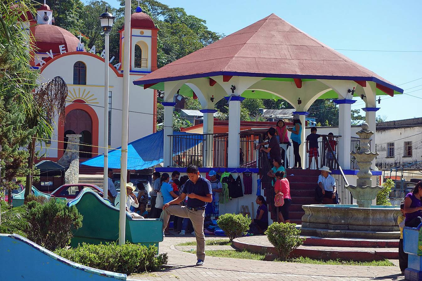
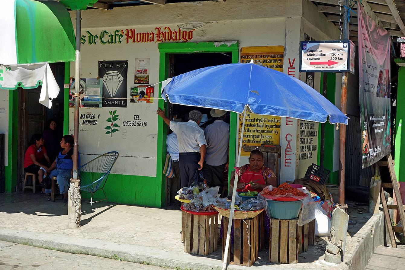
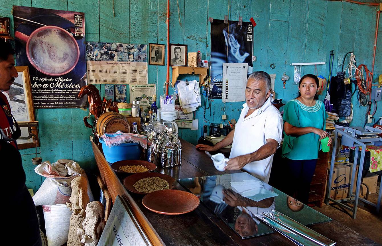
(2015) Pluma Hidalgo:
Pluma Hidalgo is a small village (elevation 1300m)
located in the lush Sierra Nadre del Sur, north of
the city of Pochutla. It is best known for its coffee
and chocolate production.
|
|
|
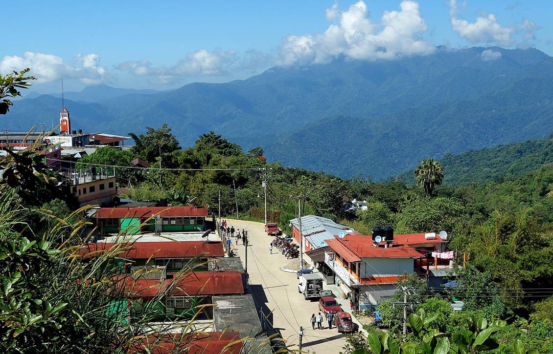
Main plaza.
One of the numerous shops selling coffee beans.
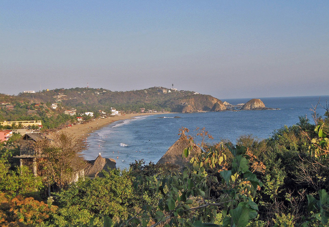
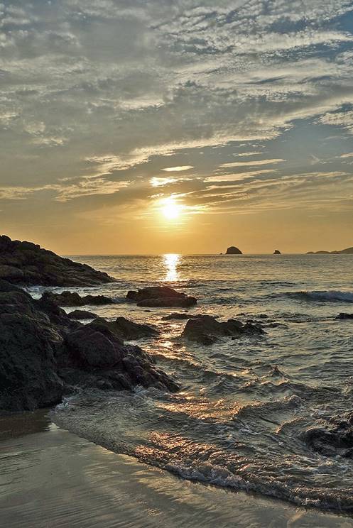
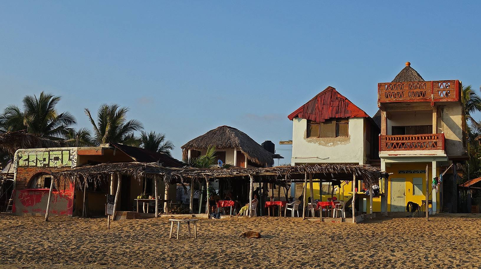
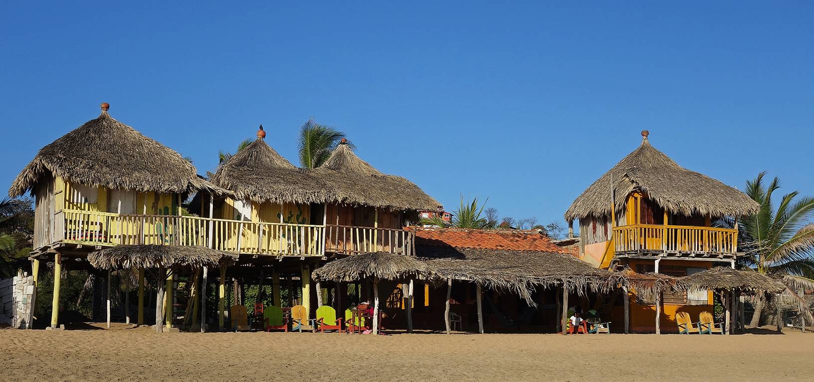
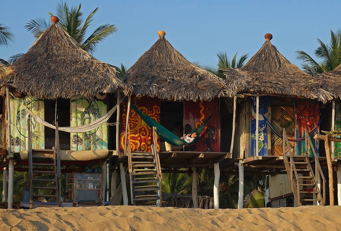
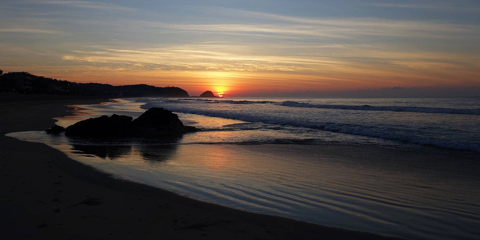
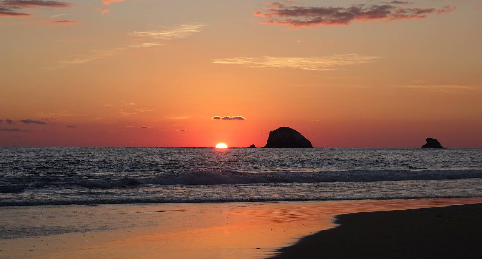
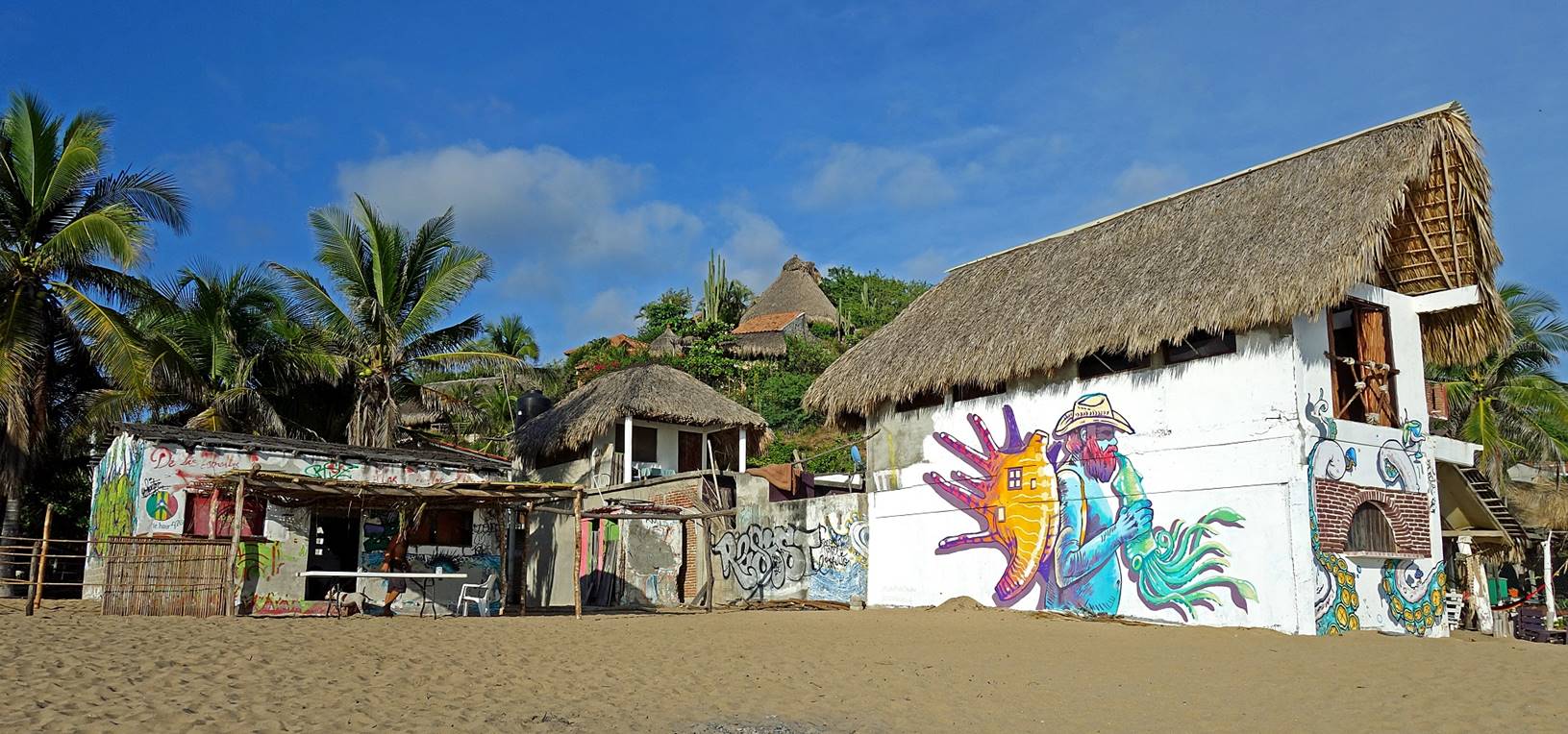
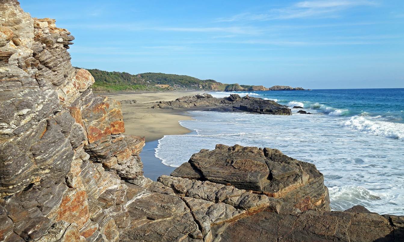
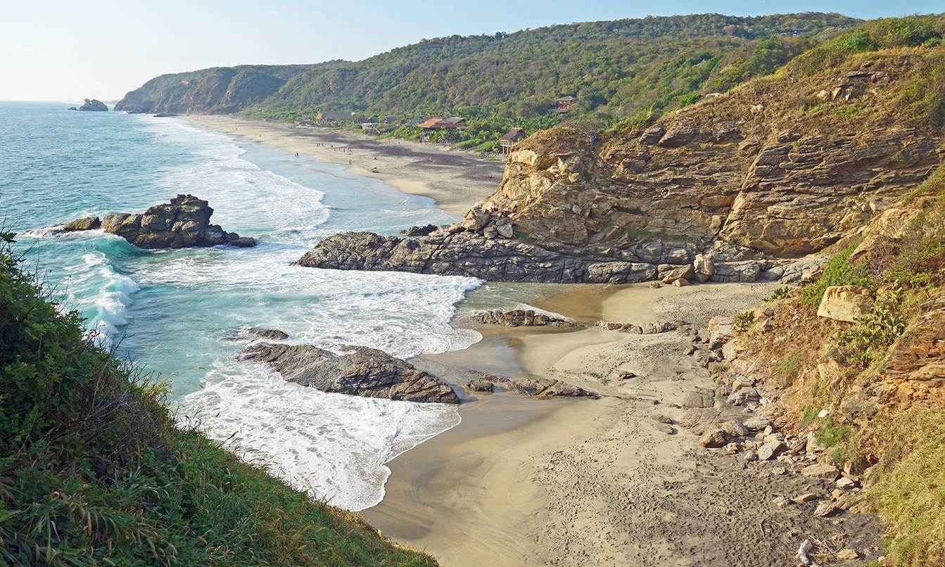
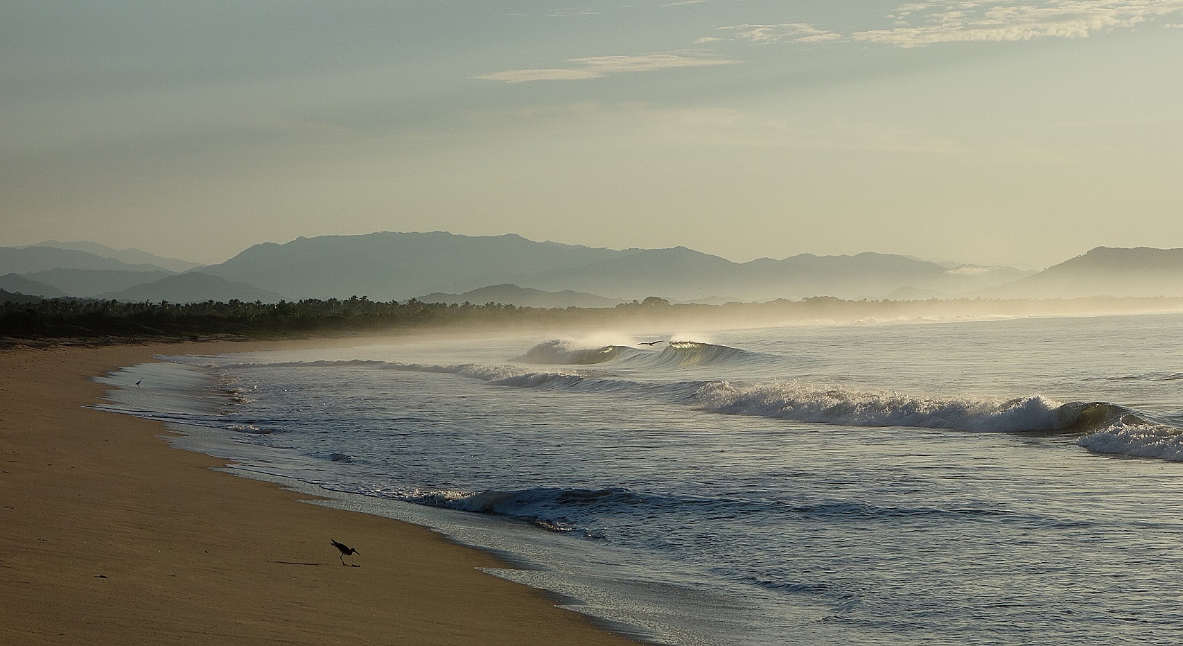
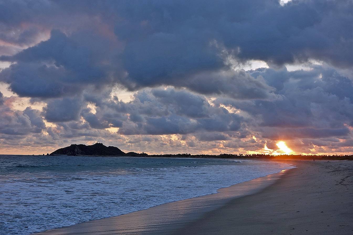
(2013-2021) Zipolite:
Zipolite is a laidback village
on the Costa Oaxaquena. The whole coast is a gorgeous
succession of beaches, coves, rocky capes, tiny islets, and tropical lagoons.
The 1km-long beach of Zipolite is beautiful, but for
good reasons (treacherous currents) Zipolite means
Playa de Muertos in Zapotec language.
|
|
|
Most of the time Zipolite is very
easygoing and not too crowded.
|
|
|
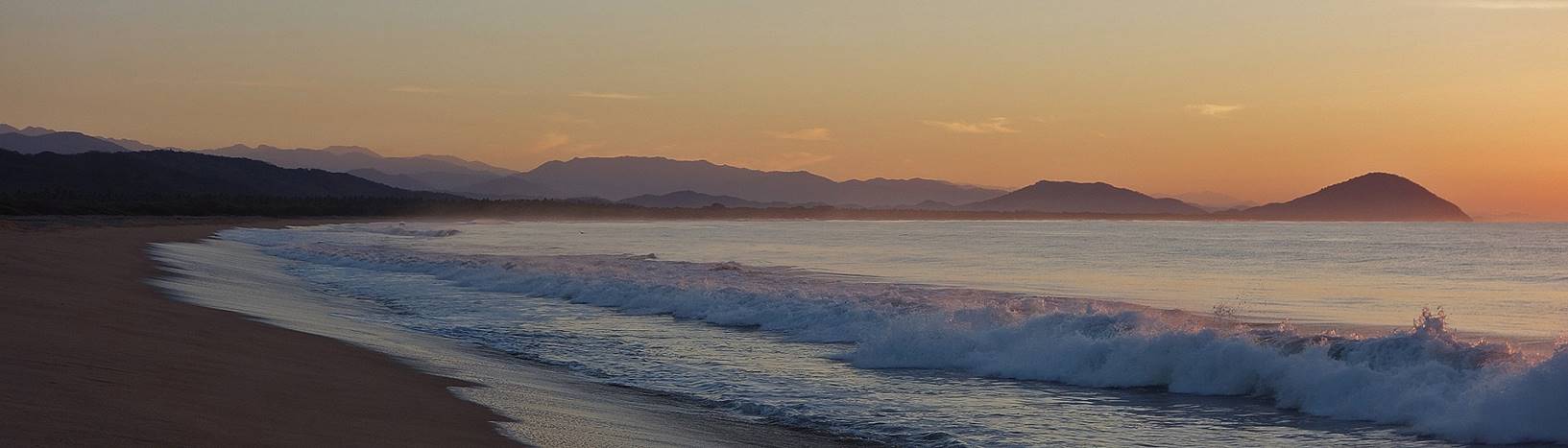
In the evening, as the daily heat abates, both local people and
tourists like to swim, play, or stroll along the beach.
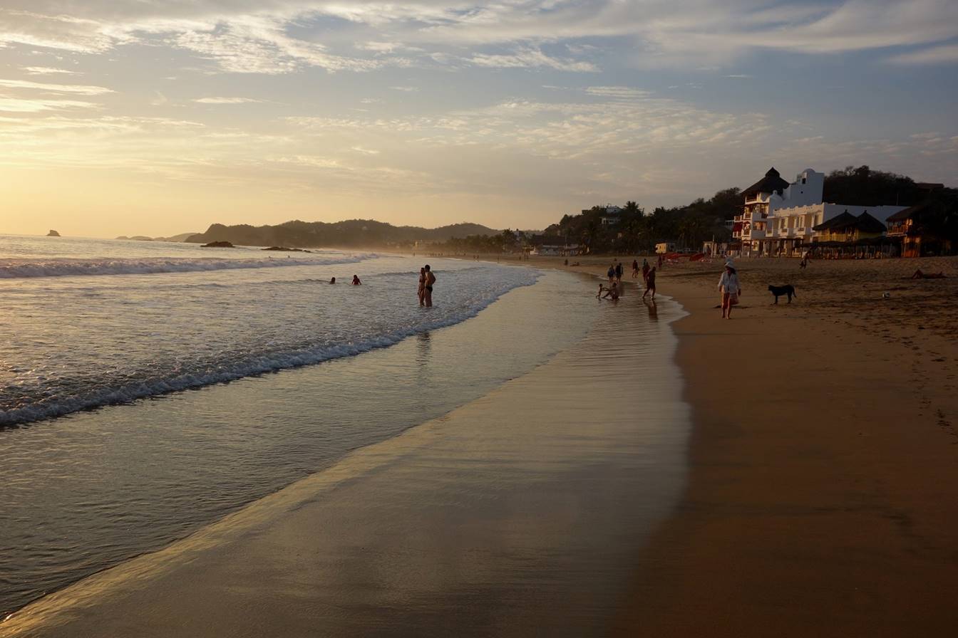
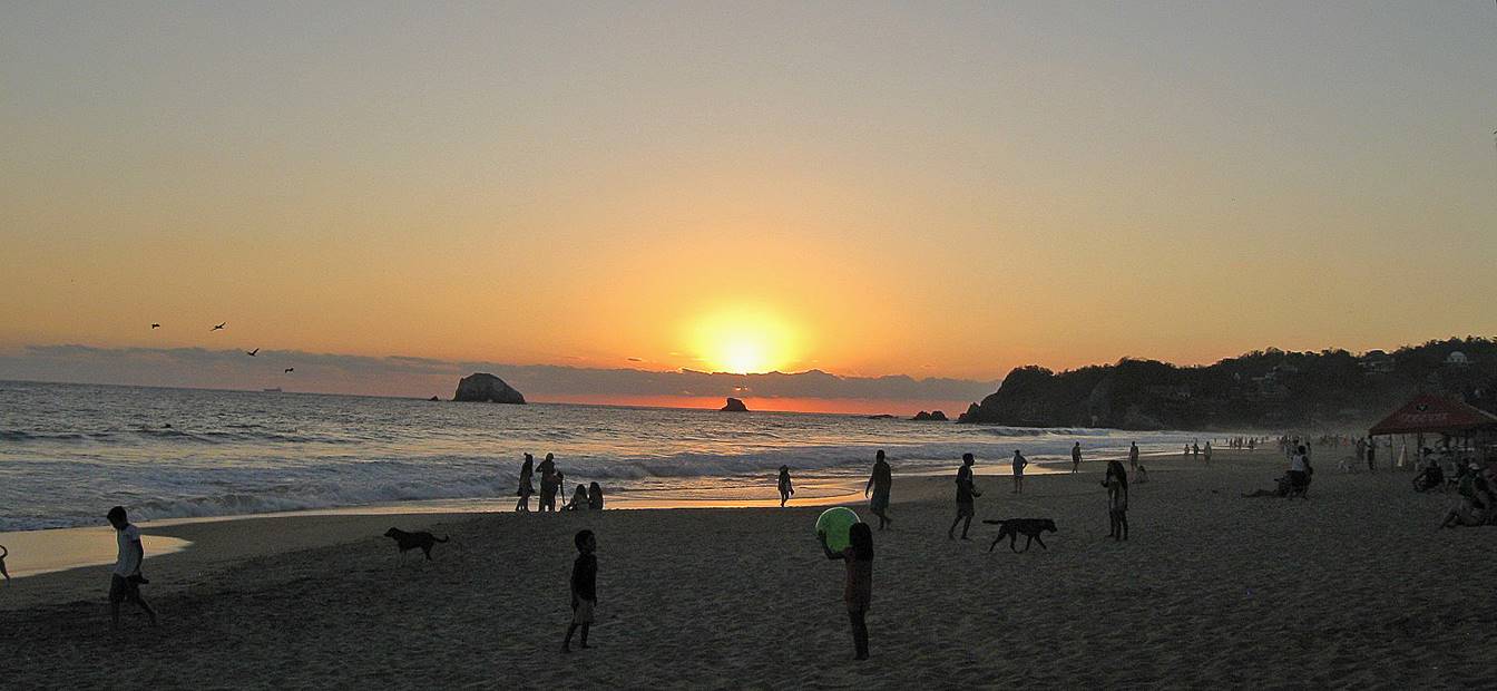
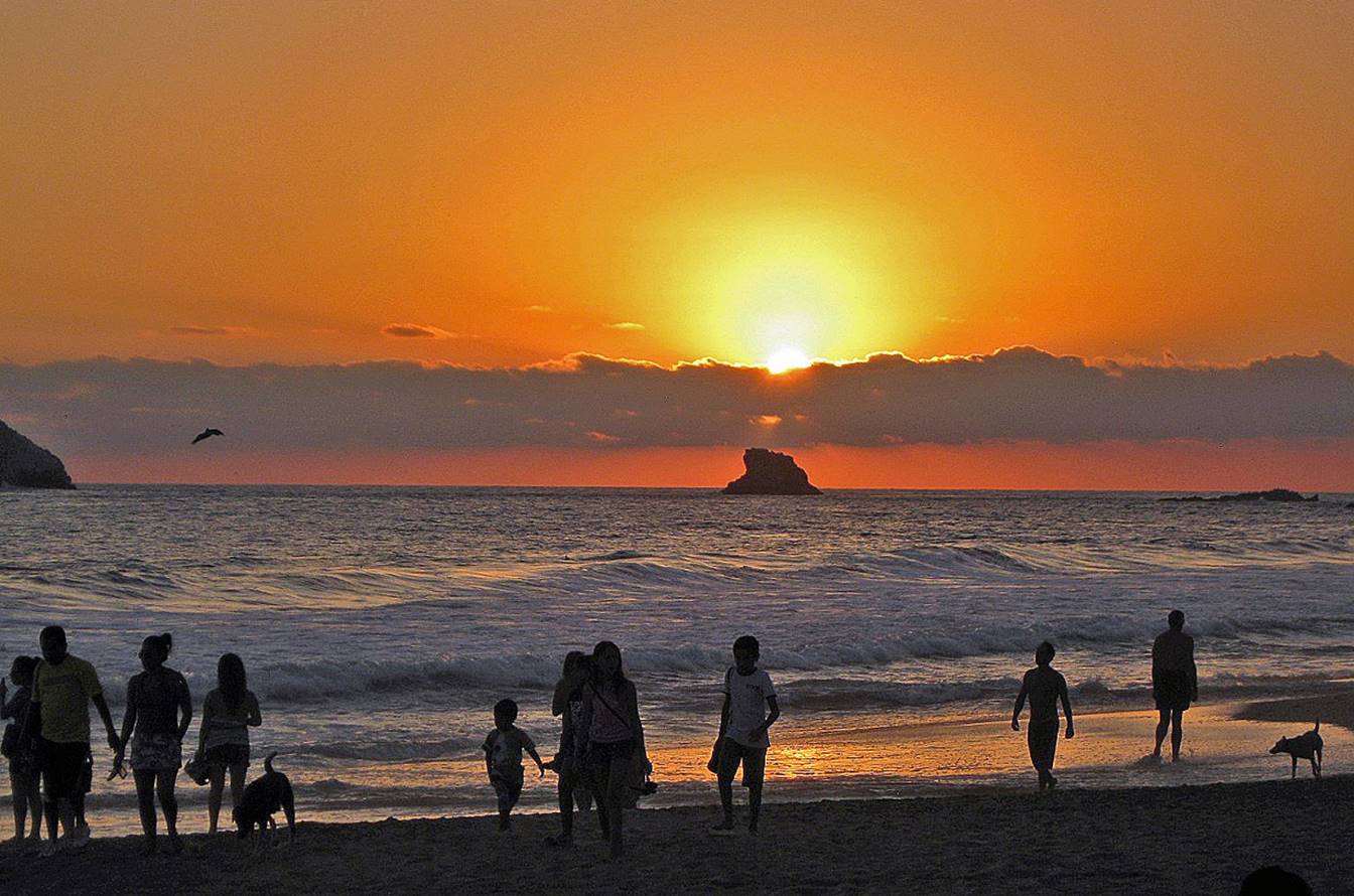
Because of the east-west orientation of the beach, the sun rises
at one end of the beach...
...and sets in at the other end.
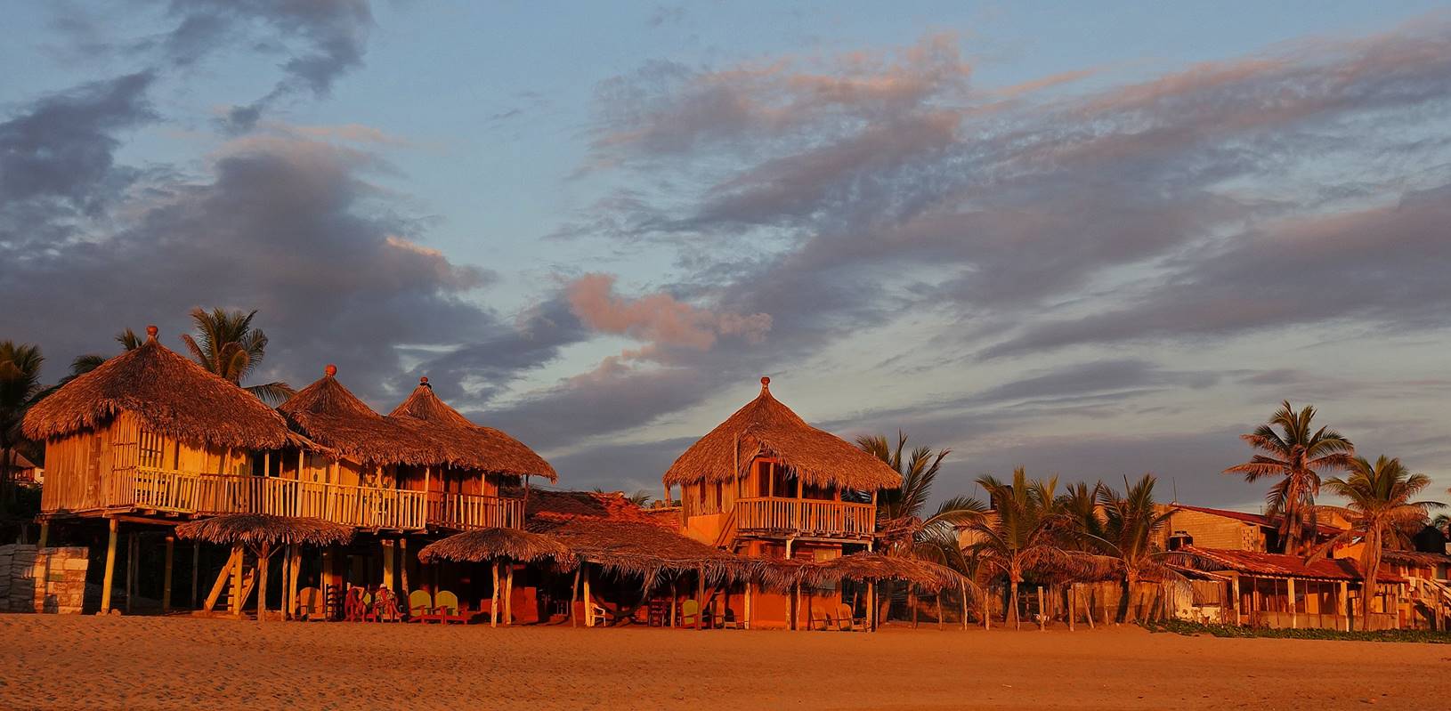
Bungalows colored red by sunset.
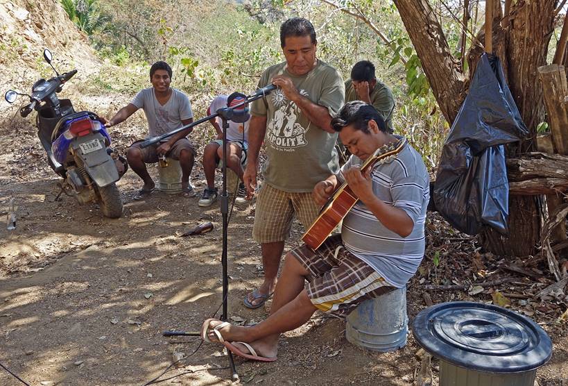
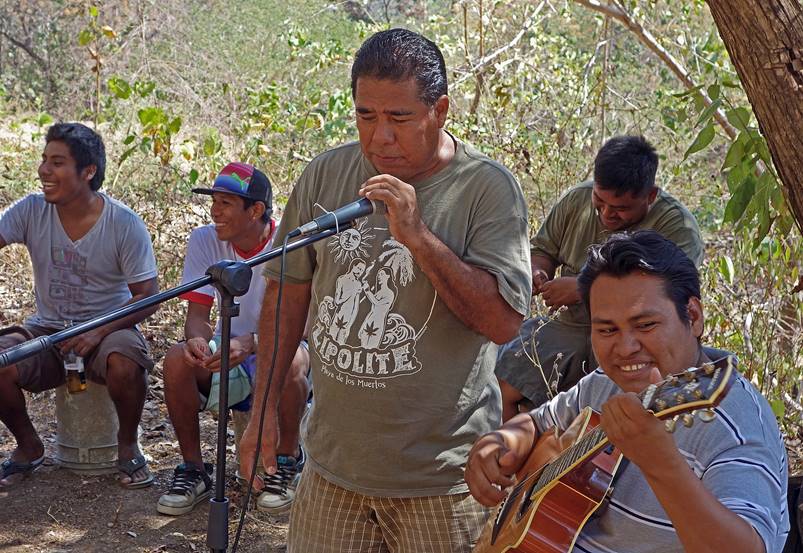
Singer and guitarist among friends.
|
|
|
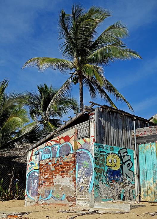
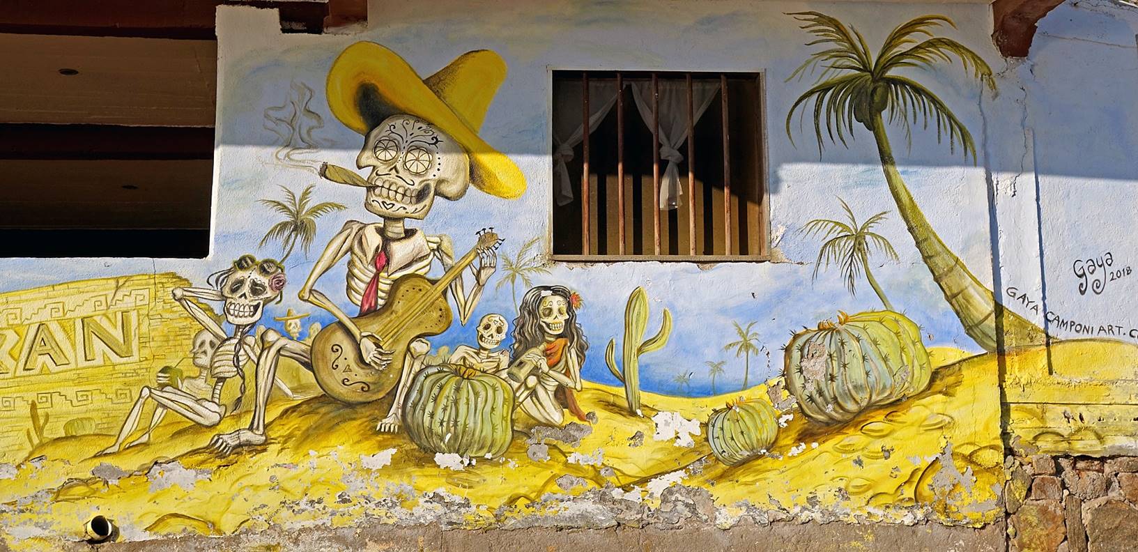
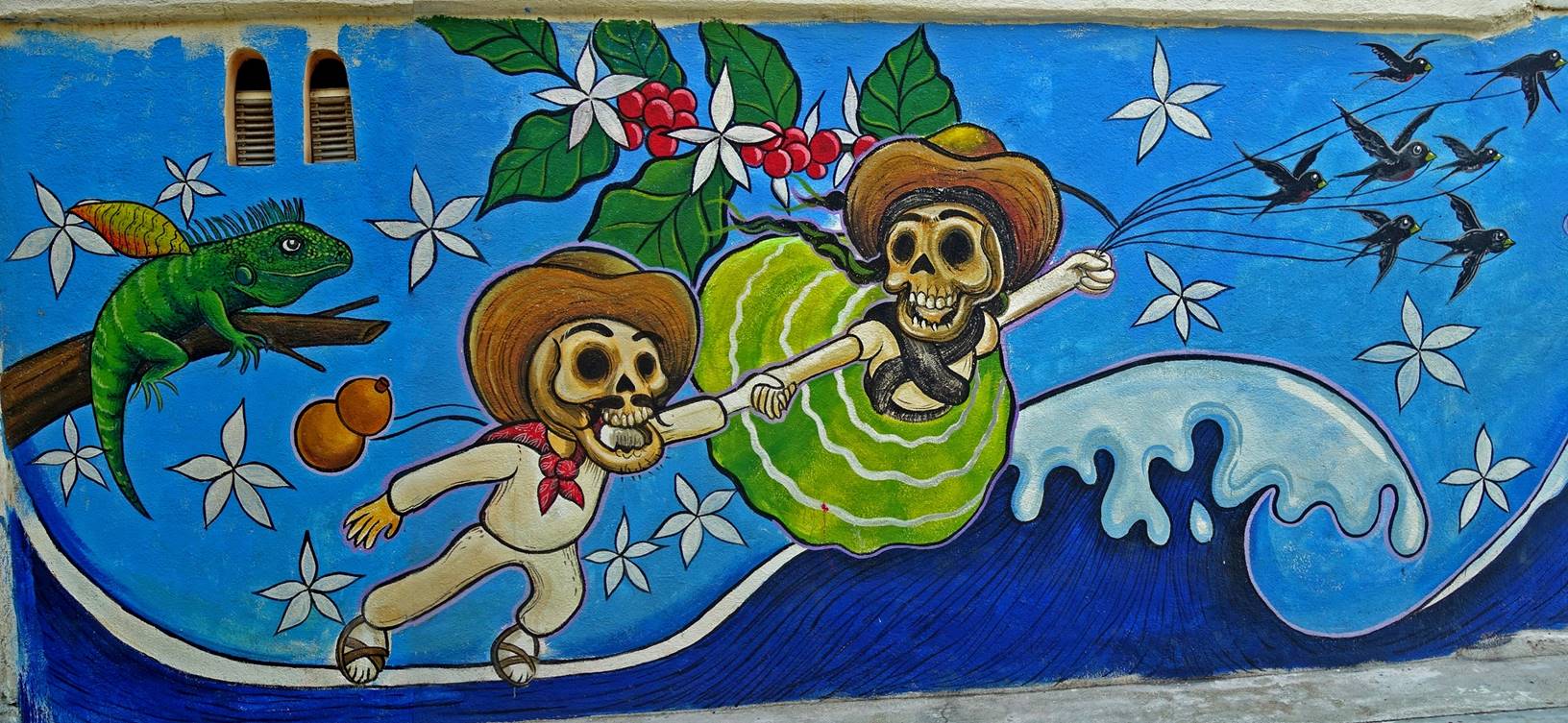
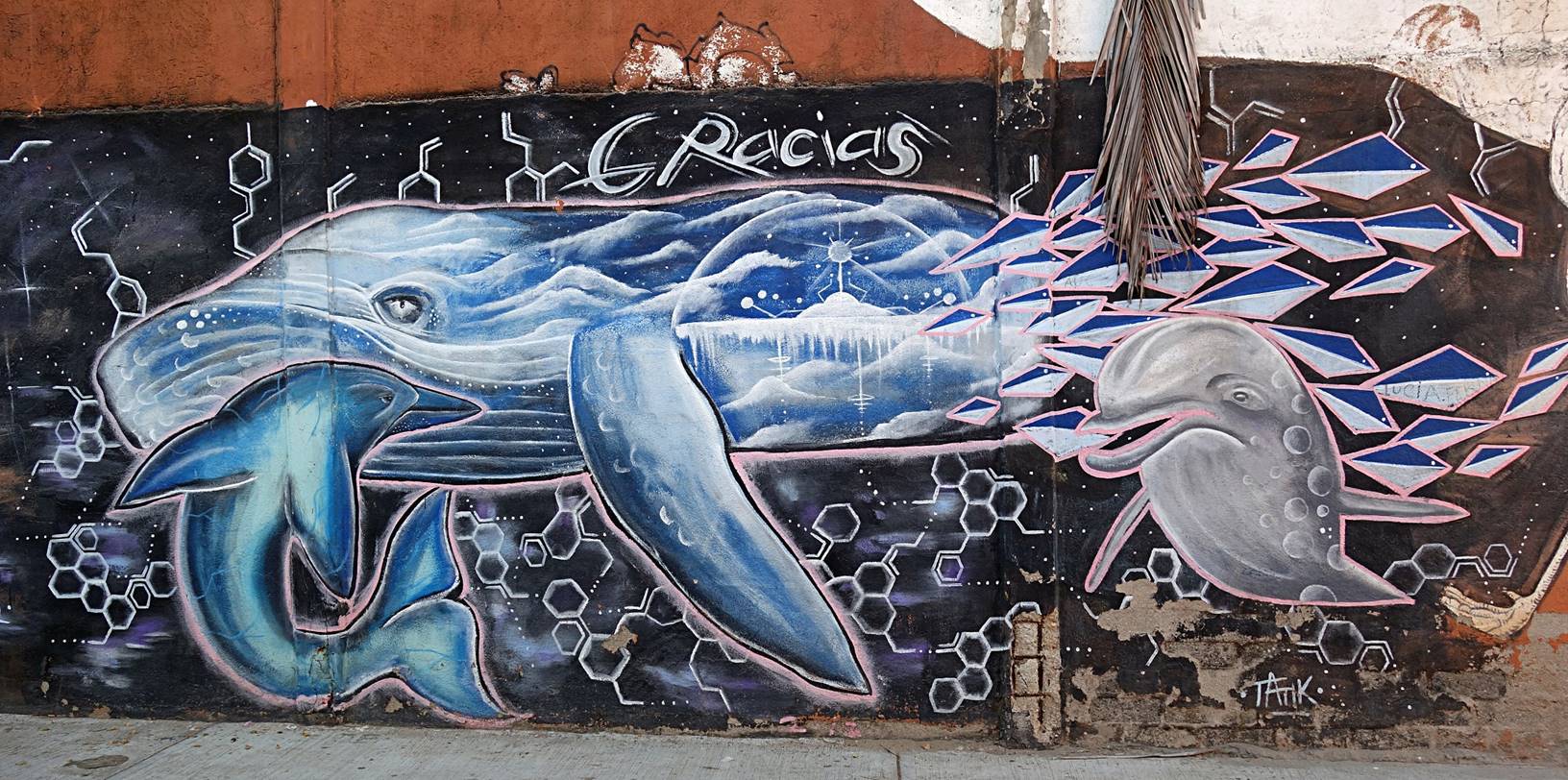
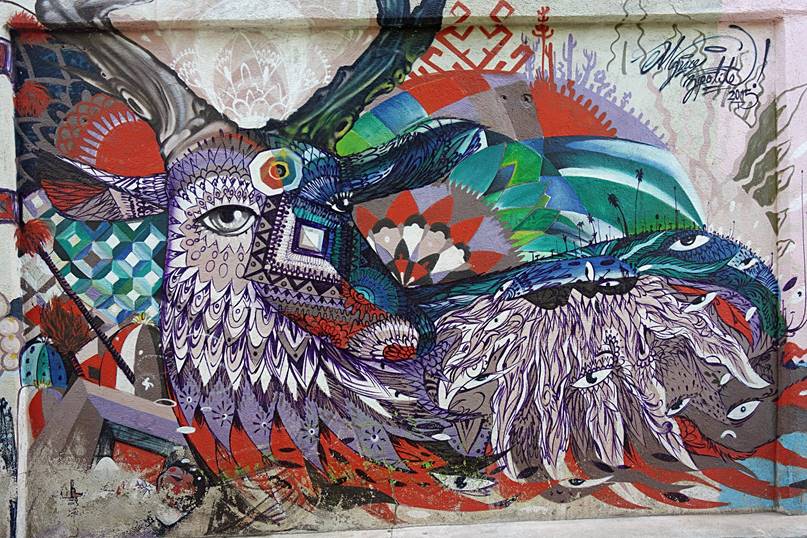
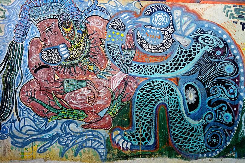
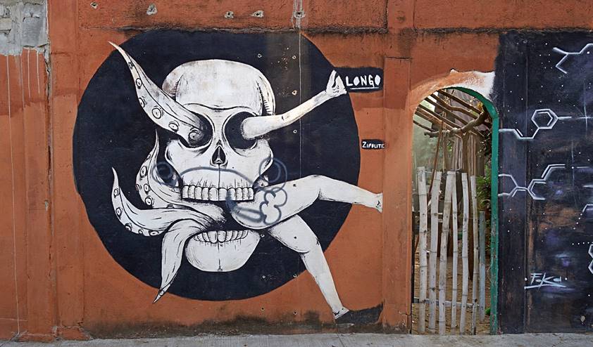
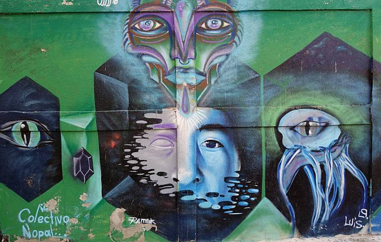
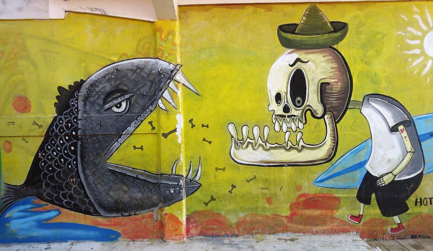
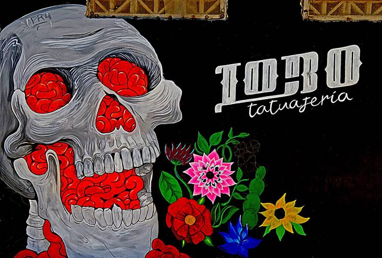
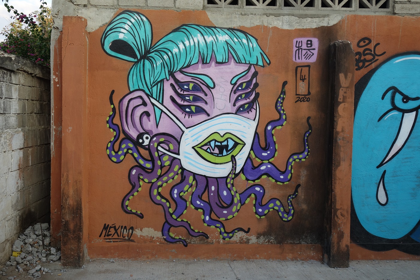
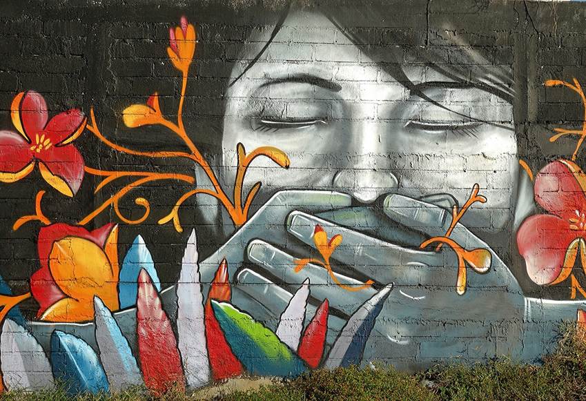
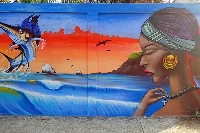
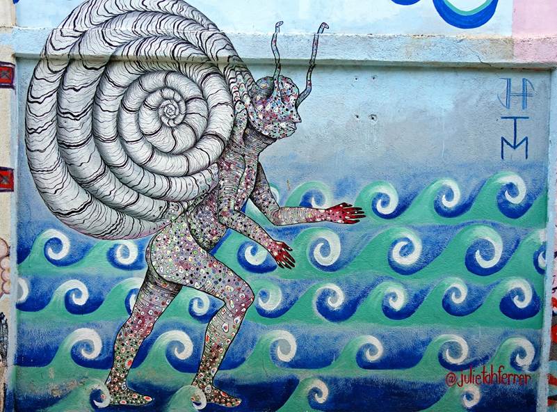
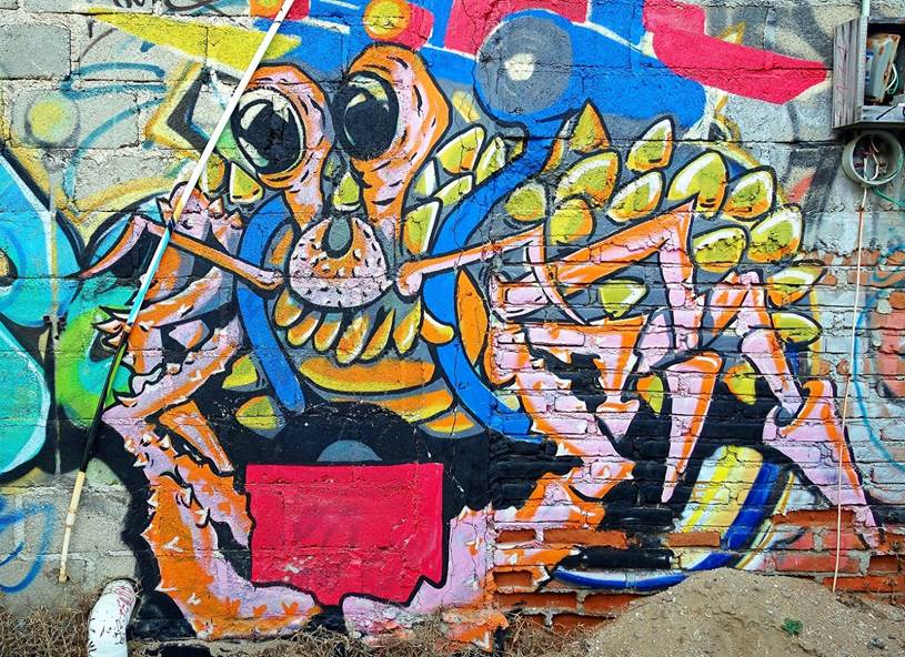
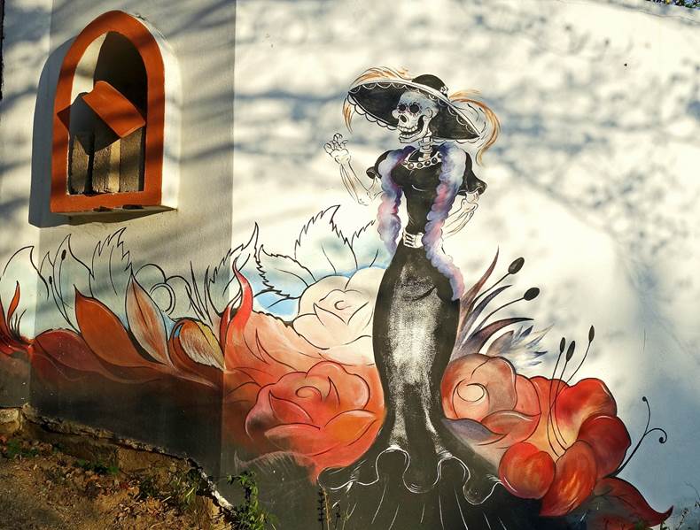
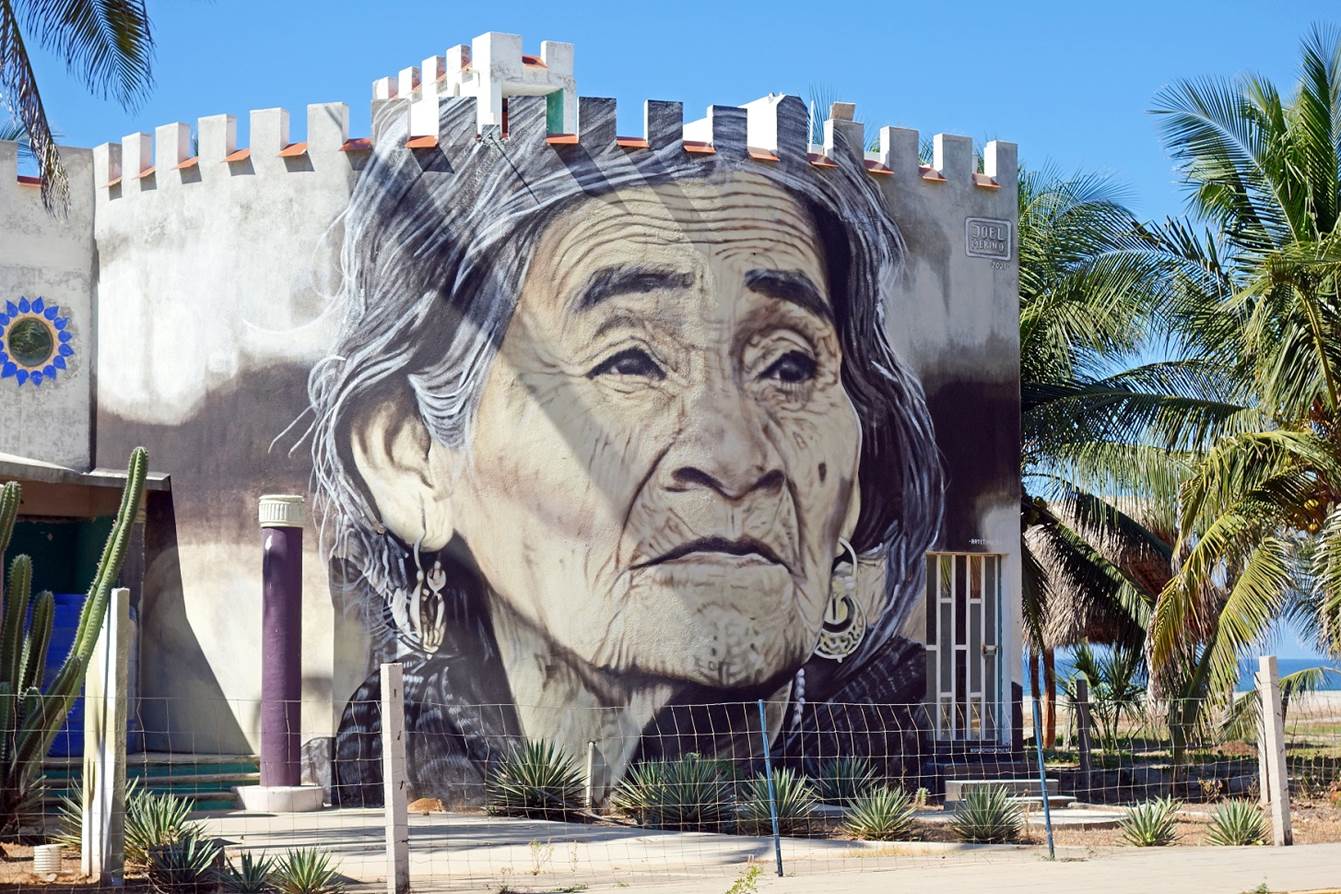
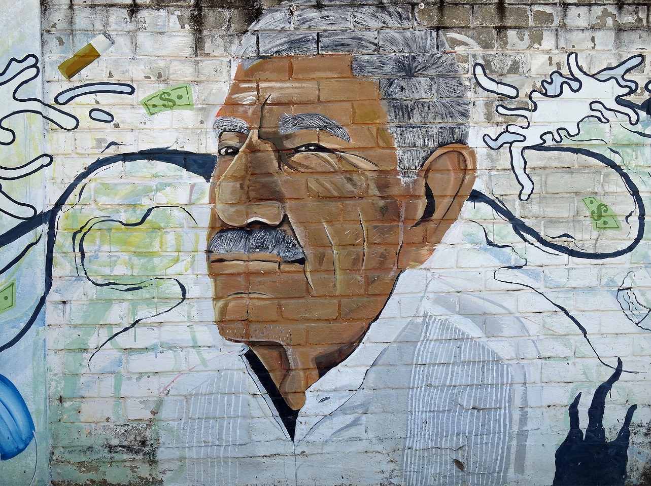
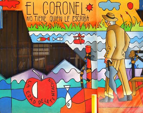
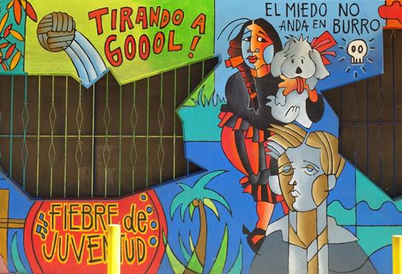
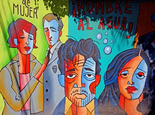
Despite its small size, Zipolite has an
active growing group of talented mural painters. New vivid murals have popped
up recently, while others have faded away.
- Photos taken in November 2018.
- Photos taken in December 2019.

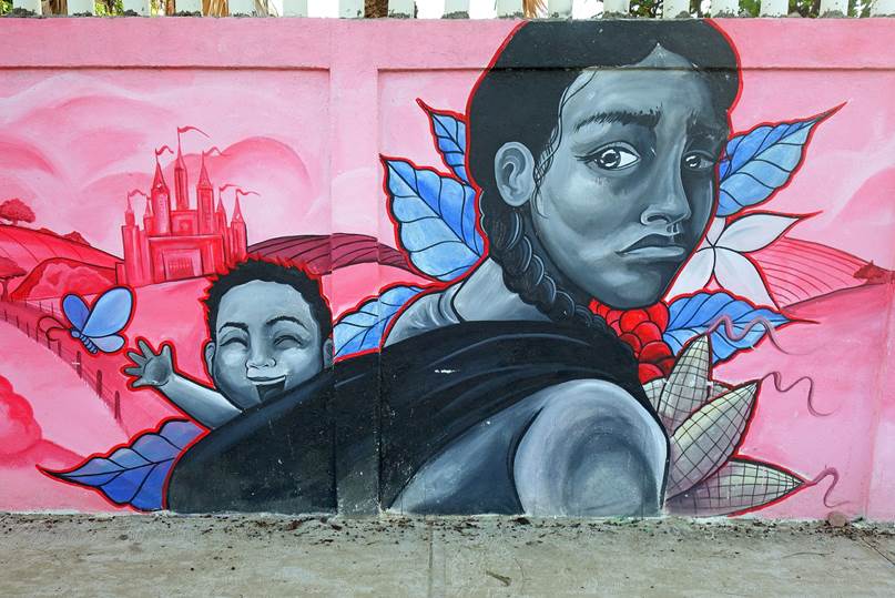
[The above mural represents Maria
Sabina Garcia, a famous curandera (native
healer/shaman). See below in the section Murals in Puerto Escondido.]
|
|
|
|
|
|
|
|
|
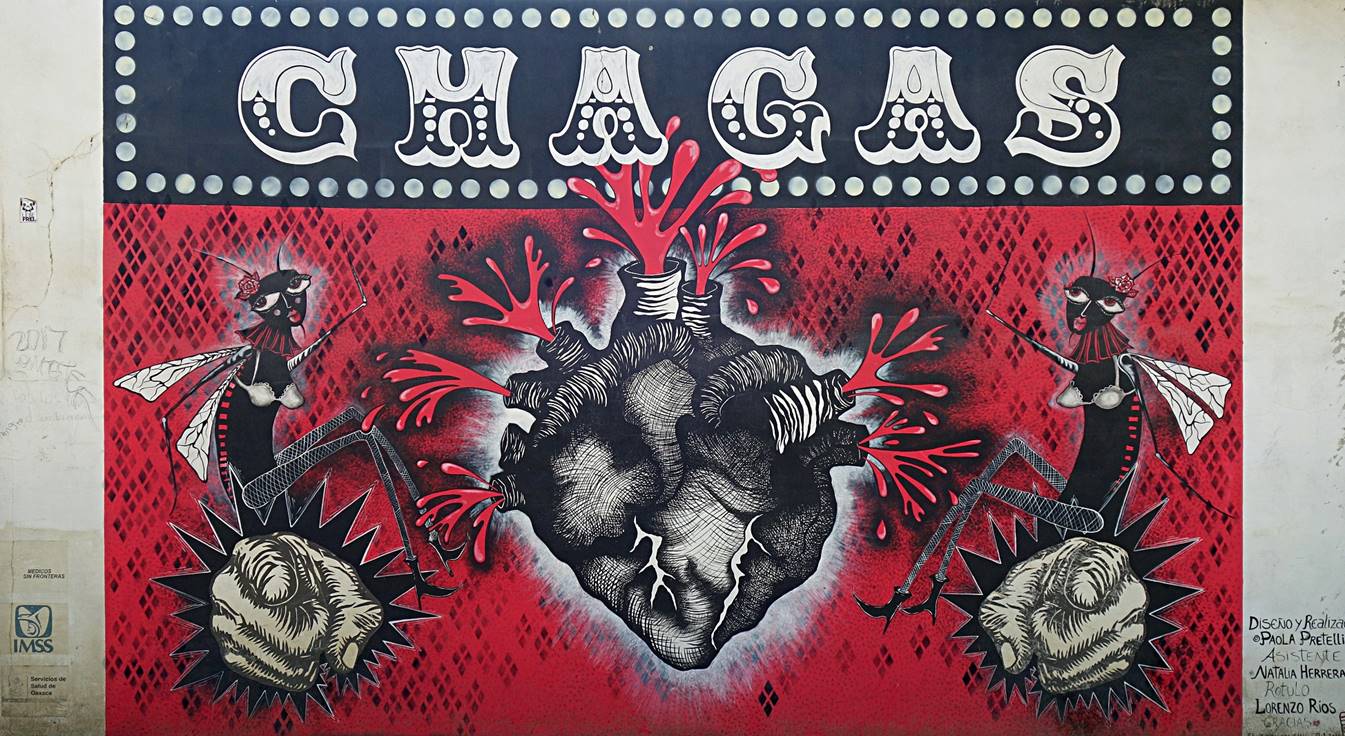
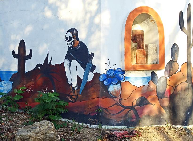
[The above photo shows a different type
of mural, which is aimed at warning people against Chagas, a life-threatening
disease caused by an insect-transmitted parasite that affects millions of
Mexicans. Chagas, which can be difficult to diagnose, may result in serious
cardiac and gastrointestinal complications.]
- Photos taken in November 2021.
|
|
|

|
|
|
|
|
|
|
|
|
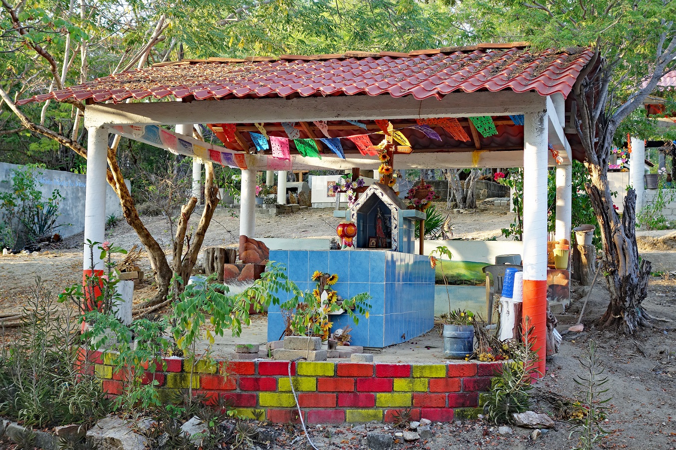
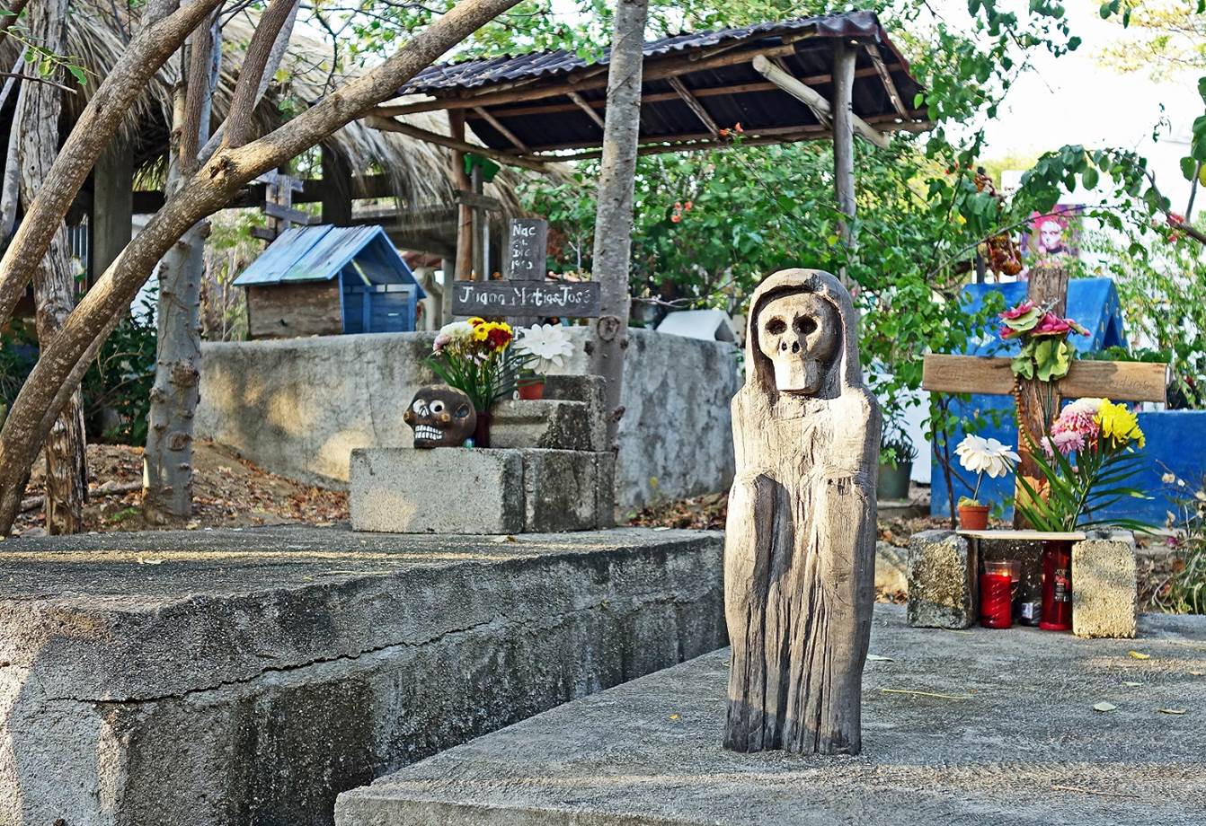
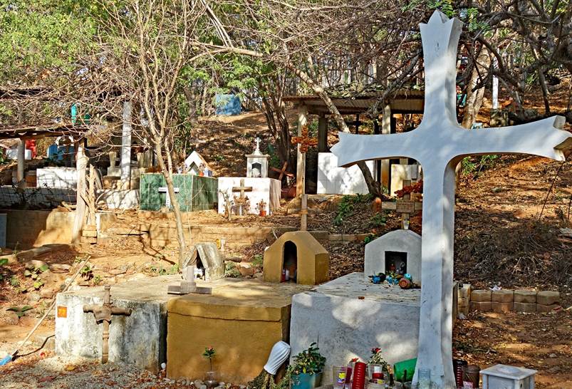
[The above two murals ornate the entrance gate of the cemetery of Zipolite.]
In the colorful cemetery of Zipolite
(November 2021).
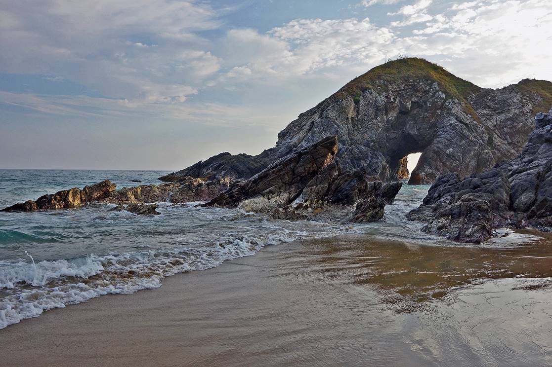
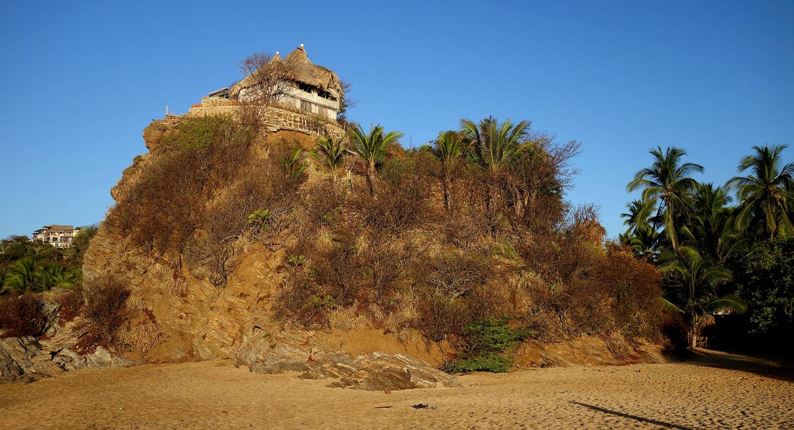
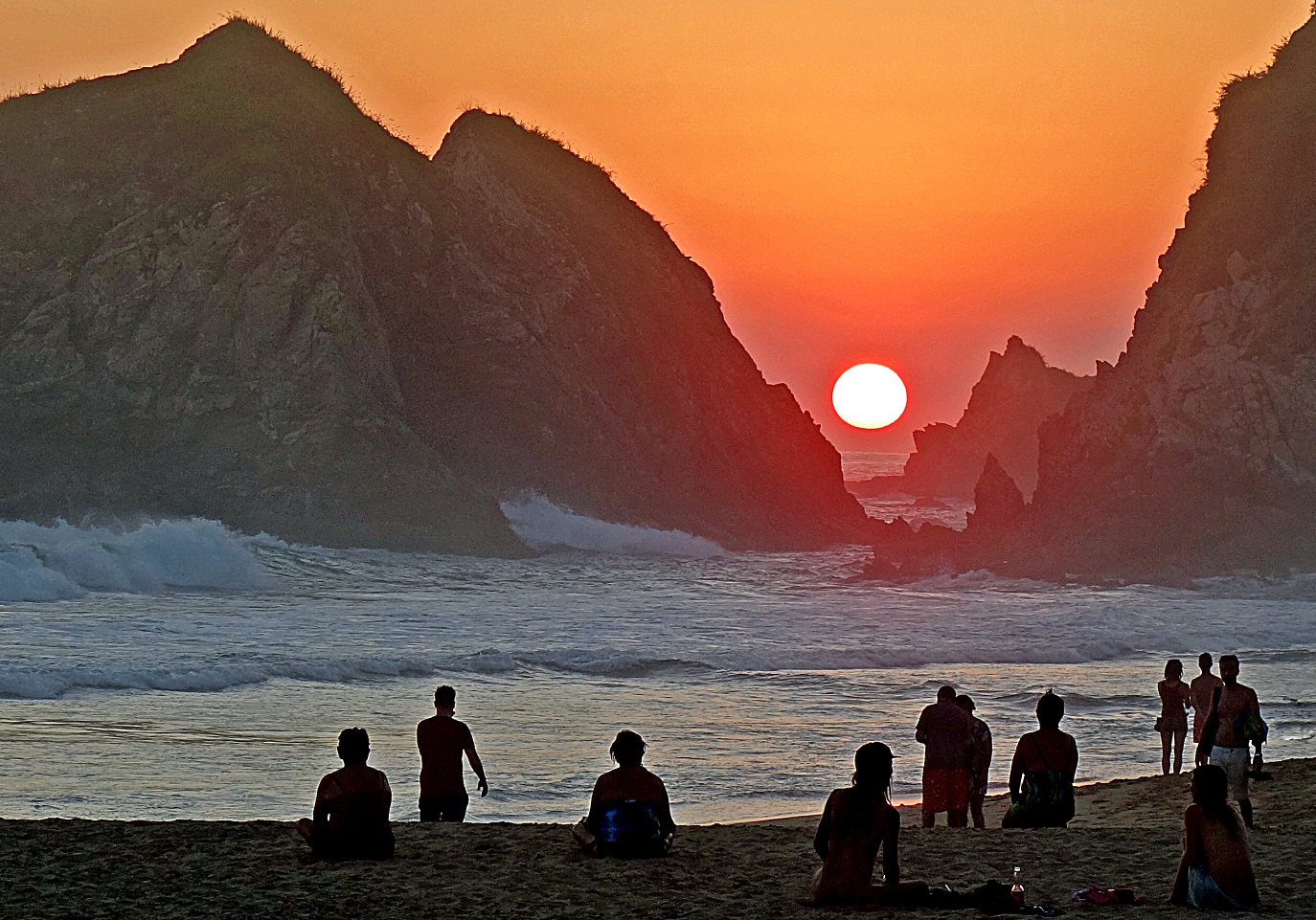
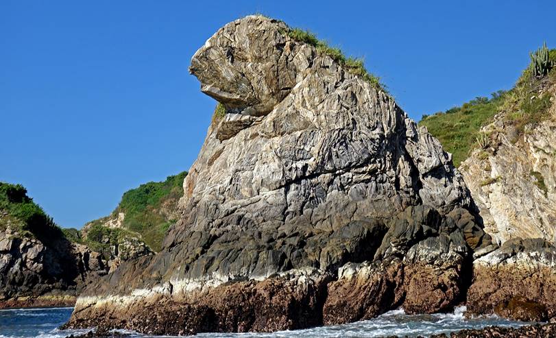
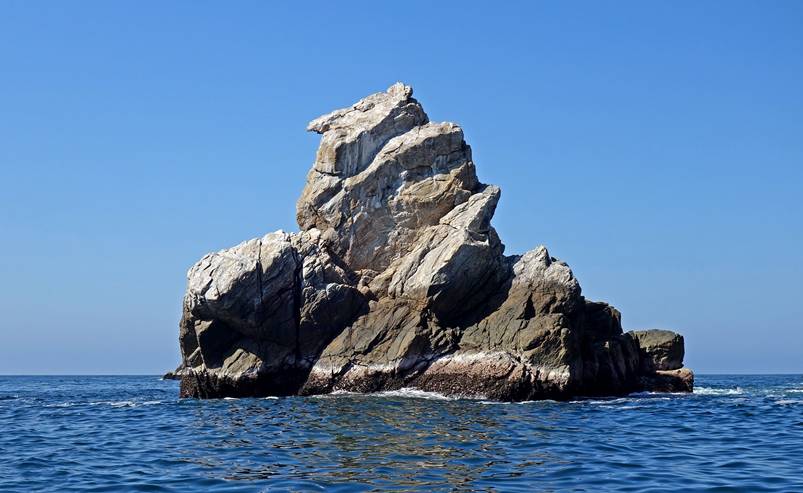
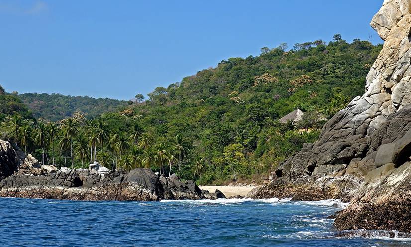
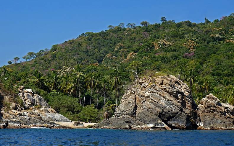
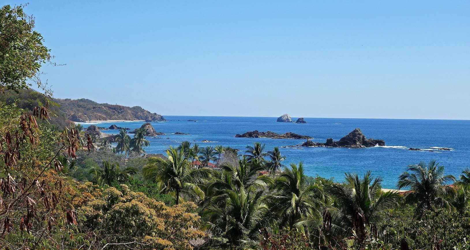
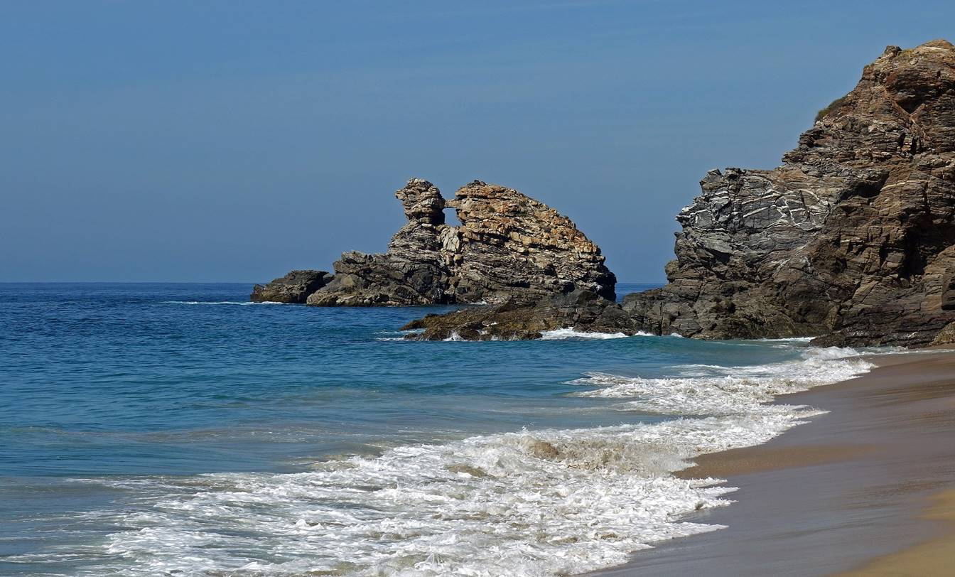
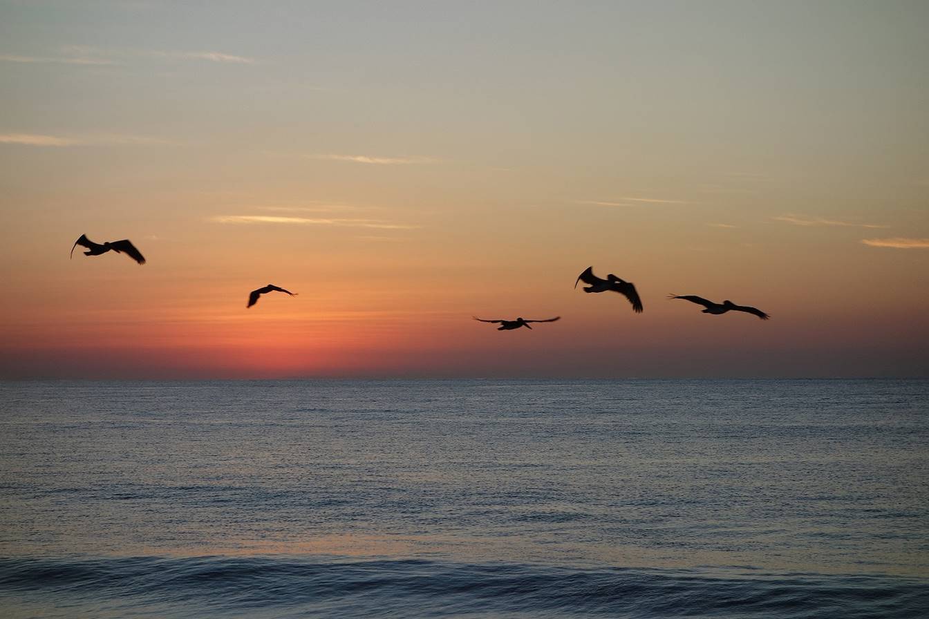
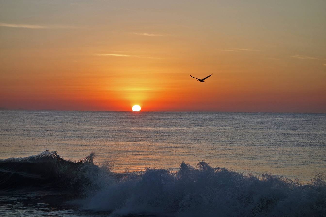
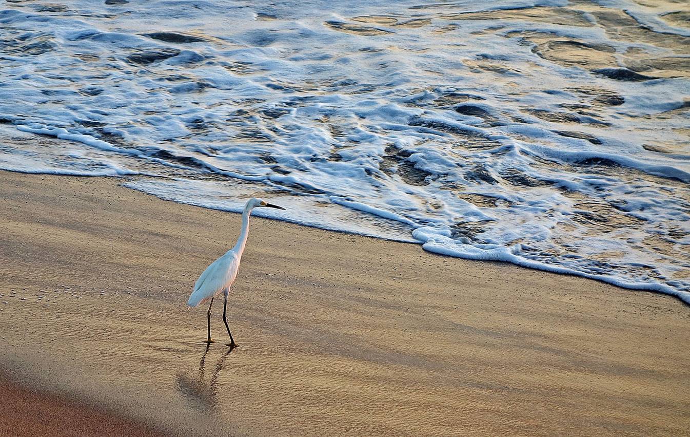
(2017) Costa
Oaxaquena around Puerto Angels:
Rock formations.
|
|
|
Pretty and quiet sandy coves.
|
|
|
|
|
|
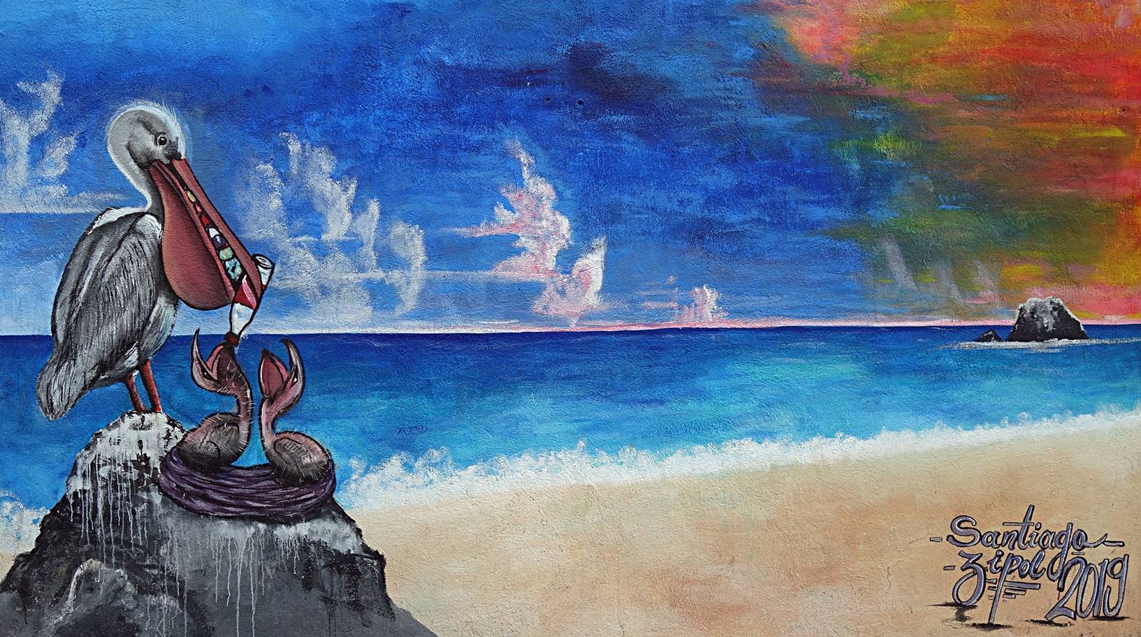
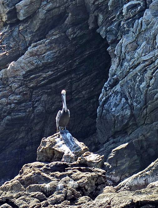
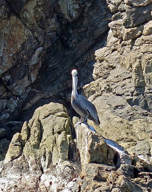
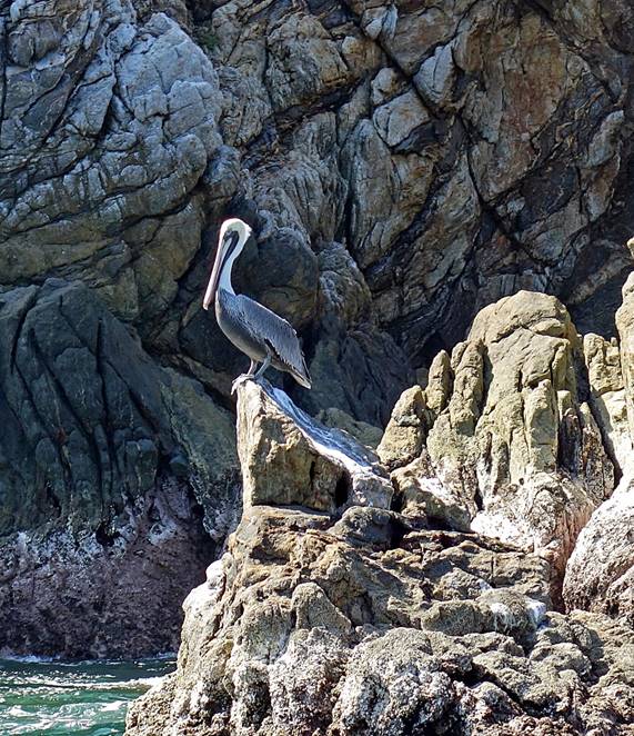
Pelican on a rock.
|
|
|
|
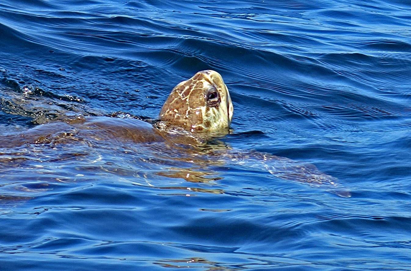
Sea turtle.
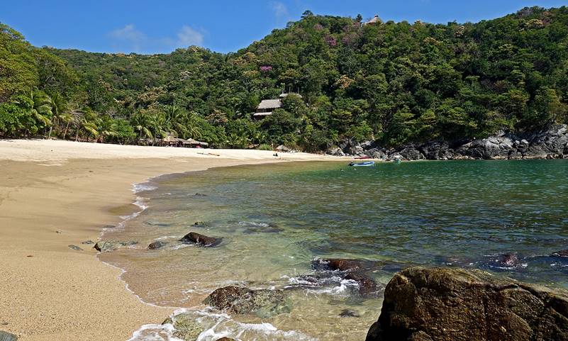
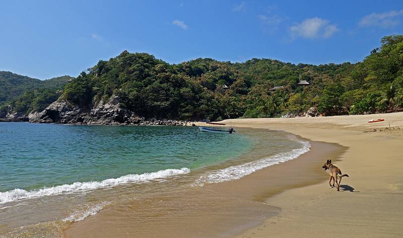
(2016-2021) Mazunte:
Coastline in Mazunte, another nice
village on the Costa Oaxaquena, about 6km west of Zipolite (2016).
Mural representing a native woman wearing the ceremonial eagle
headdress of an Aztec warrior (2021).

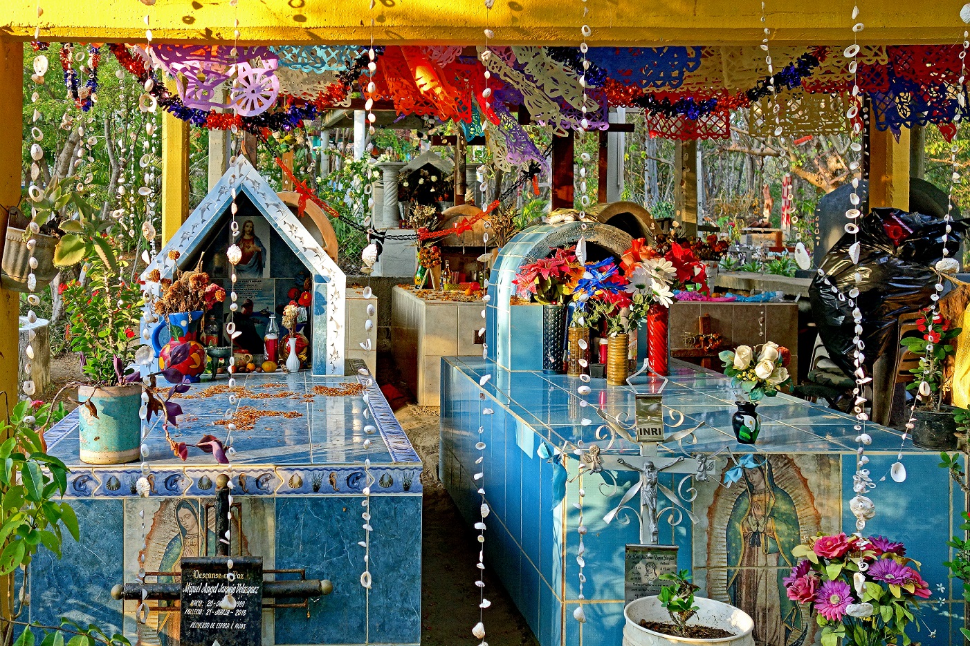
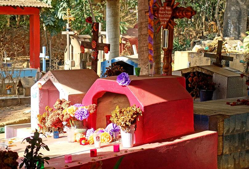
Colorful tombs in the cemetery of Mazunte
(2021).
|
|
|
(2016) Playa Ventanilla:
This beach located a few kilometers west of Mazunte
is interesting for its lagoon inhabited by many birds and crocodiles.
″Ventanilla″ means ″window″.
Here is the hole-in-the-rock formation after which the beach is named (2016).
Crocodile in the lagoon, the estuary of the Tonameca
river (2016).
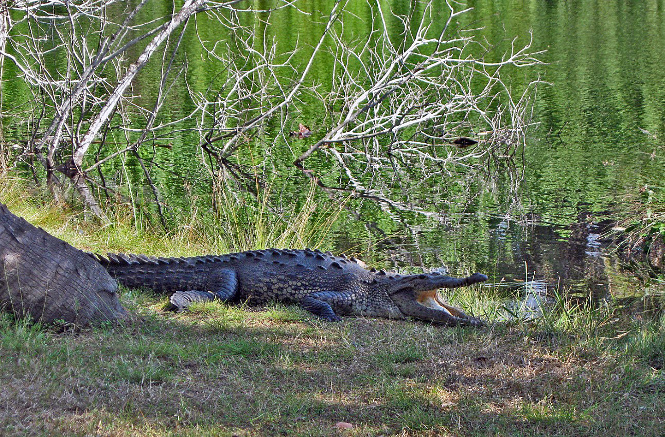
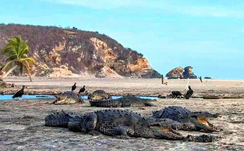
Photo of Playa Ventanilla in April 2020,
when people were not allowed to go there, due to the coronavirus. [Source: https://mexiconewsdaily.com/news/coronavirus/crocodiles-take-over-oaxaca-beaches/ .]
(2016) Playa Mermejita
and Cometo:
(2021)
Murals in Puerto Escondido:
[This mural represents Maria Sabina Garcia. (Another mural of her
is shown above in the section on Zipolite. Maria
Sabina Garcia (mid-1890-1985) was a curandera (native
healer) famous for her healing mushroom ceremonie,
called veladas. She was born in the Sierra Mazateca, state of Oaxaca, into a family of ancestral
shaman. A rumor has it that well-known singers of the 1960s attended her veladas. She nevertheless died in extreme poverty at the
approximate age of 91.]
|
|
|
|
[Murals celebrating movies of actor Fernando Lujan (1938-2019).]
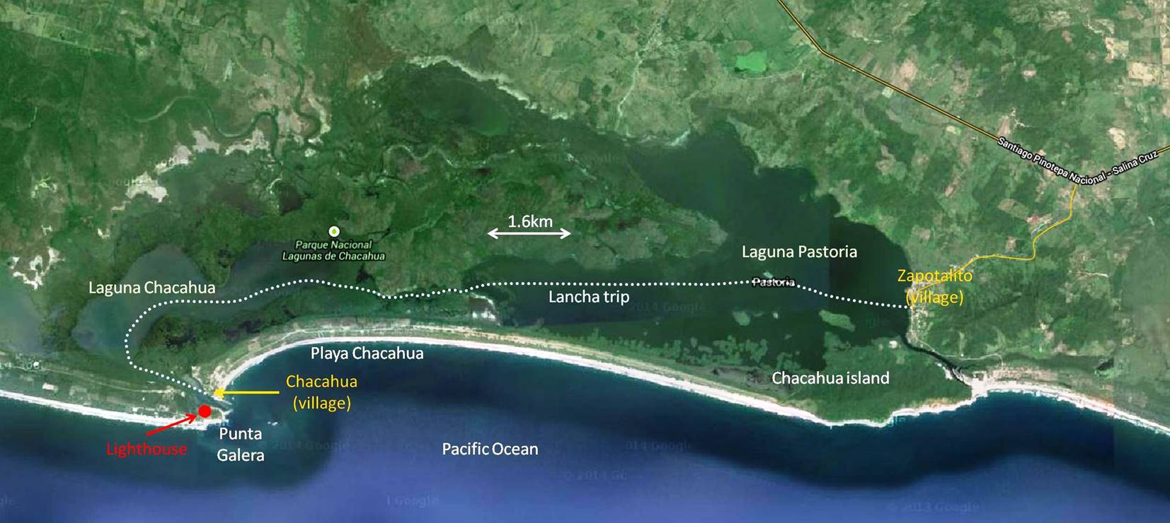
(2015) Parque
National Lagunas de Chacahua:
Located about 100km west of Puerto Escondido, this interesting
park is somewhat off-the-beaten-track and gets relatively few visitors.
However, its lagoon is much larger than the one in Playa Ventanilla.
The small village of Chacahua is very quiet, except for
a loud-speaker that every inhabitant may use to send
messages to other people (for example, a mother may ask her daughter to return
home as soon as possible).
Annotated aerial view (extracted from Google Map) of the park.
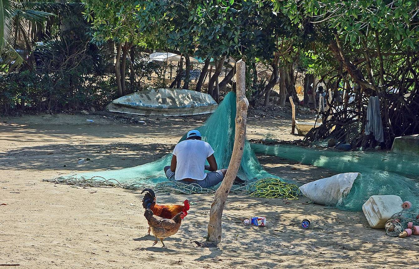
Fisherman repairing a net in Zapolalito
village, the main entry point into the park.
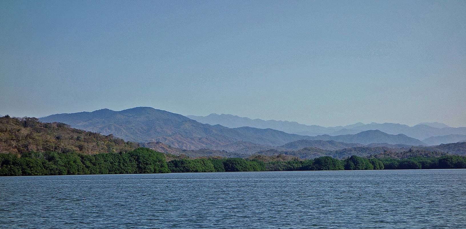
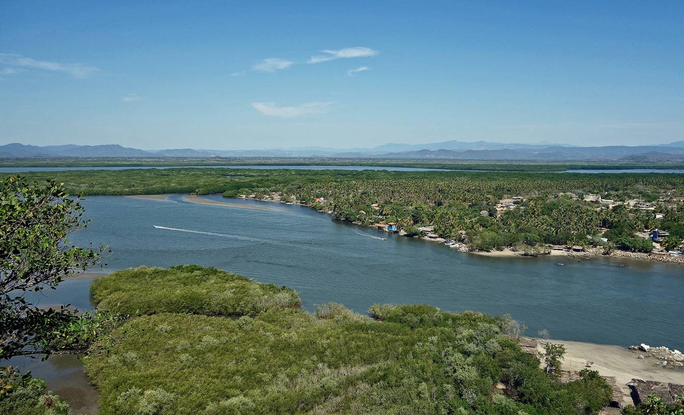
The coastal mountain ranges seen from Laguna Pastoria.
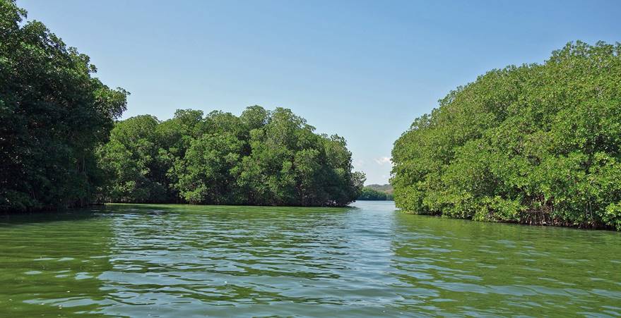
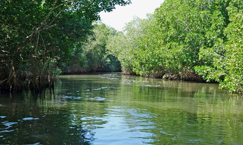
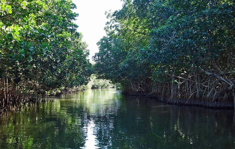
In the narrow channel bordered by mangrove, between Lagunas Pastoria and Chicahua during the
lancha (small motorboat) trip.
|
|
|
|
|
|
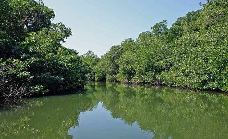
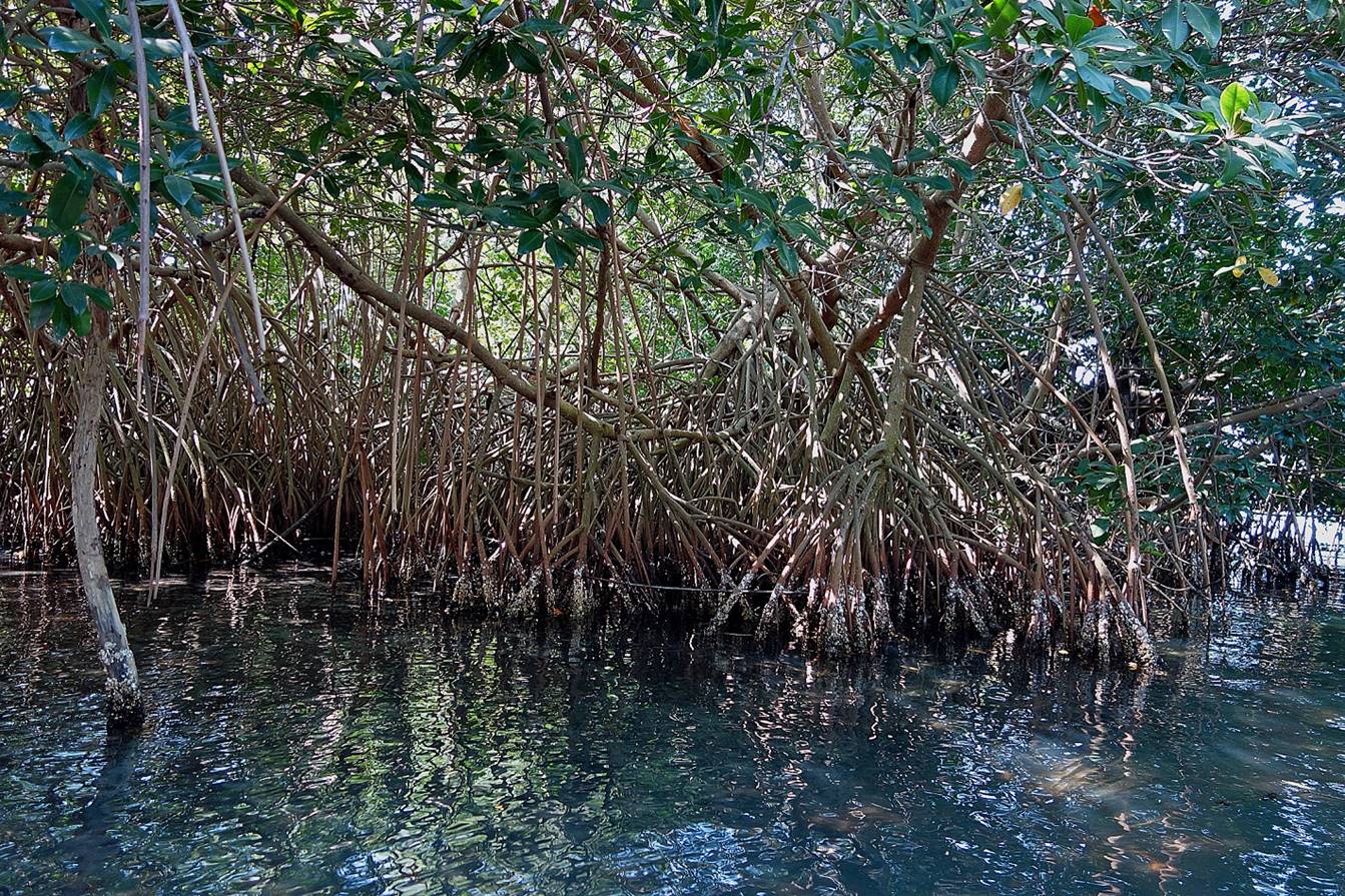
A closer view at the mangrove.
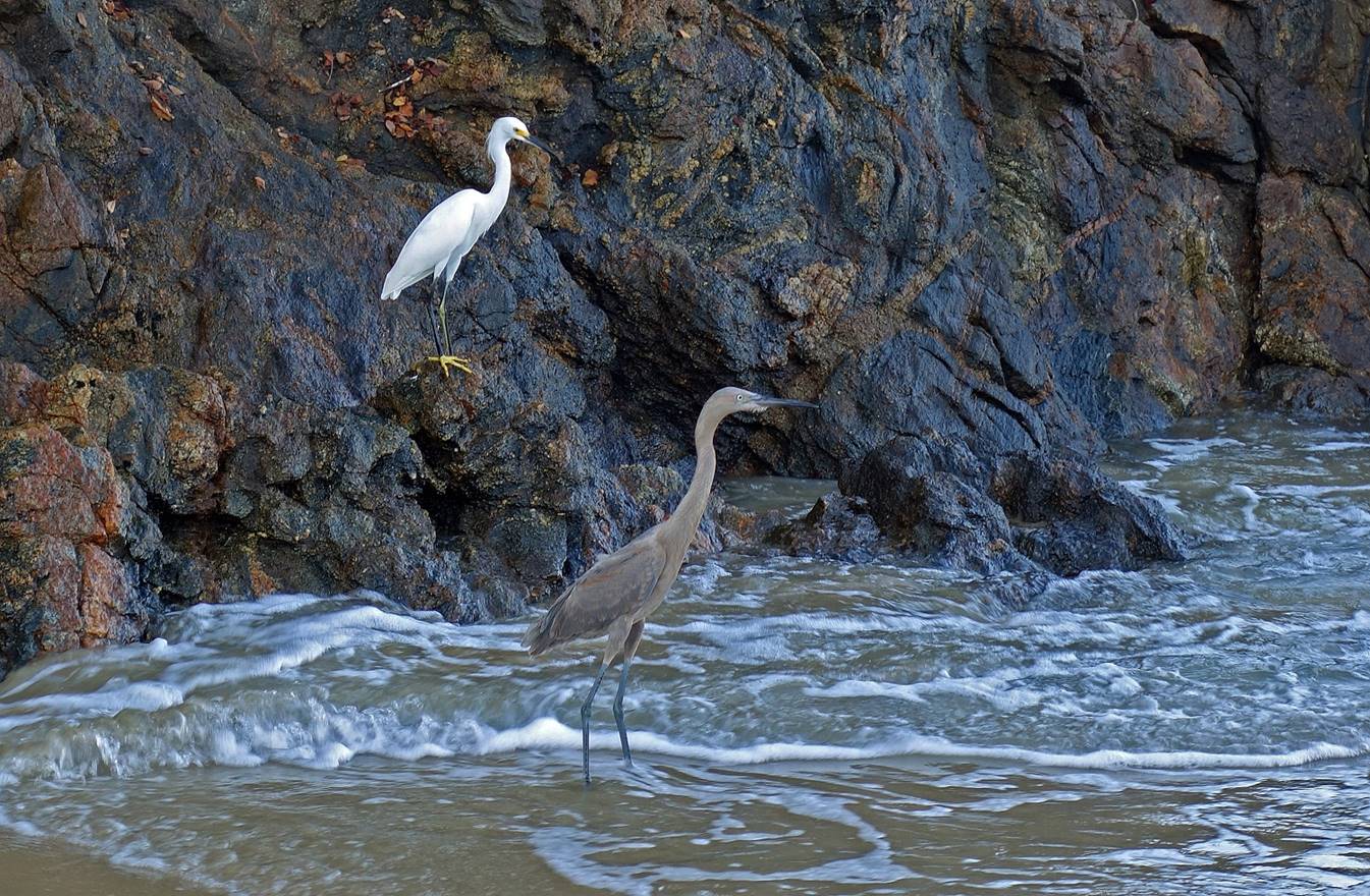
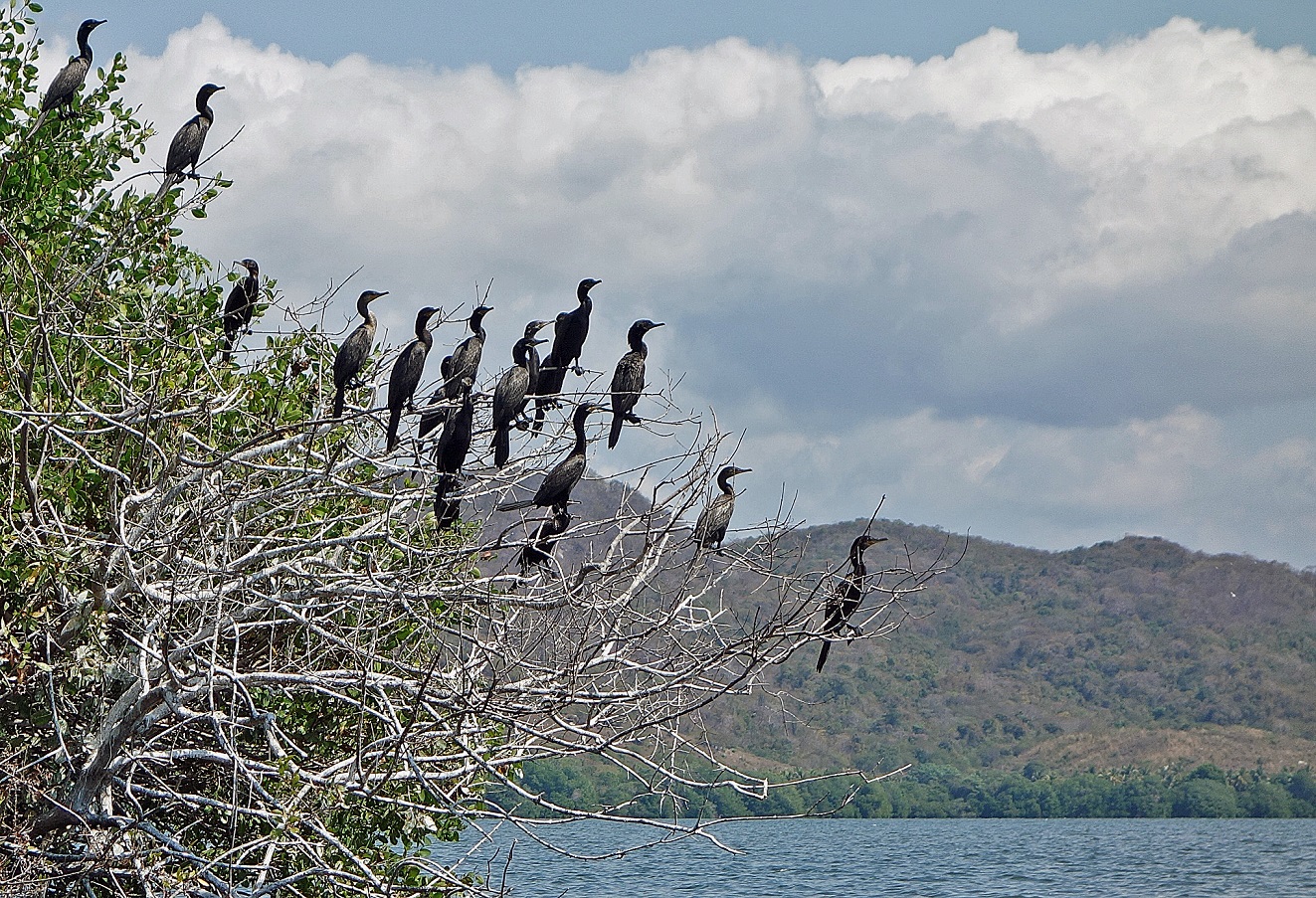
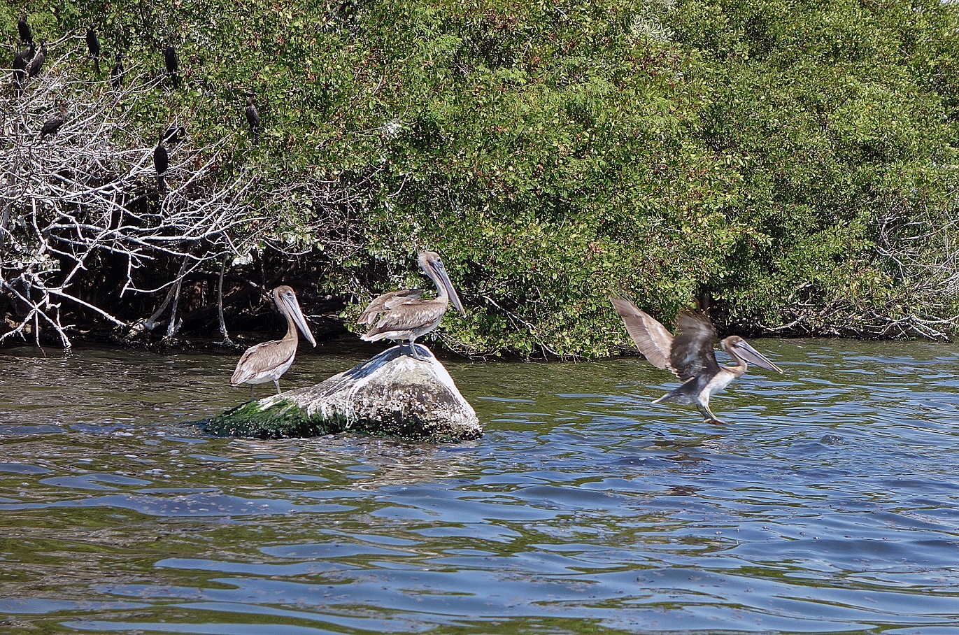
A few of the many birds in the park.
Laguna Chacahua seen from the lighthouse
on Punta Gelera at the outlet of Laguna Chacahua into the Pacific Ocean (see map above).
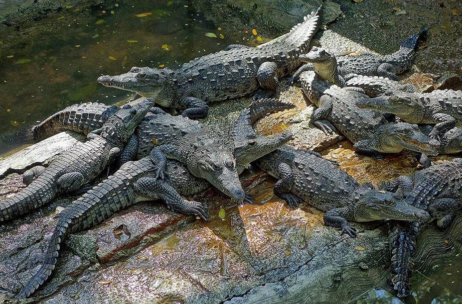
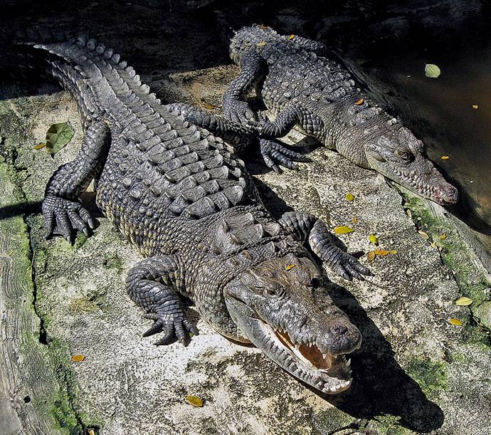
In the park′s crocodile sanctuary.
|
|
|
Chacahua beach.
|
|
|
![]()