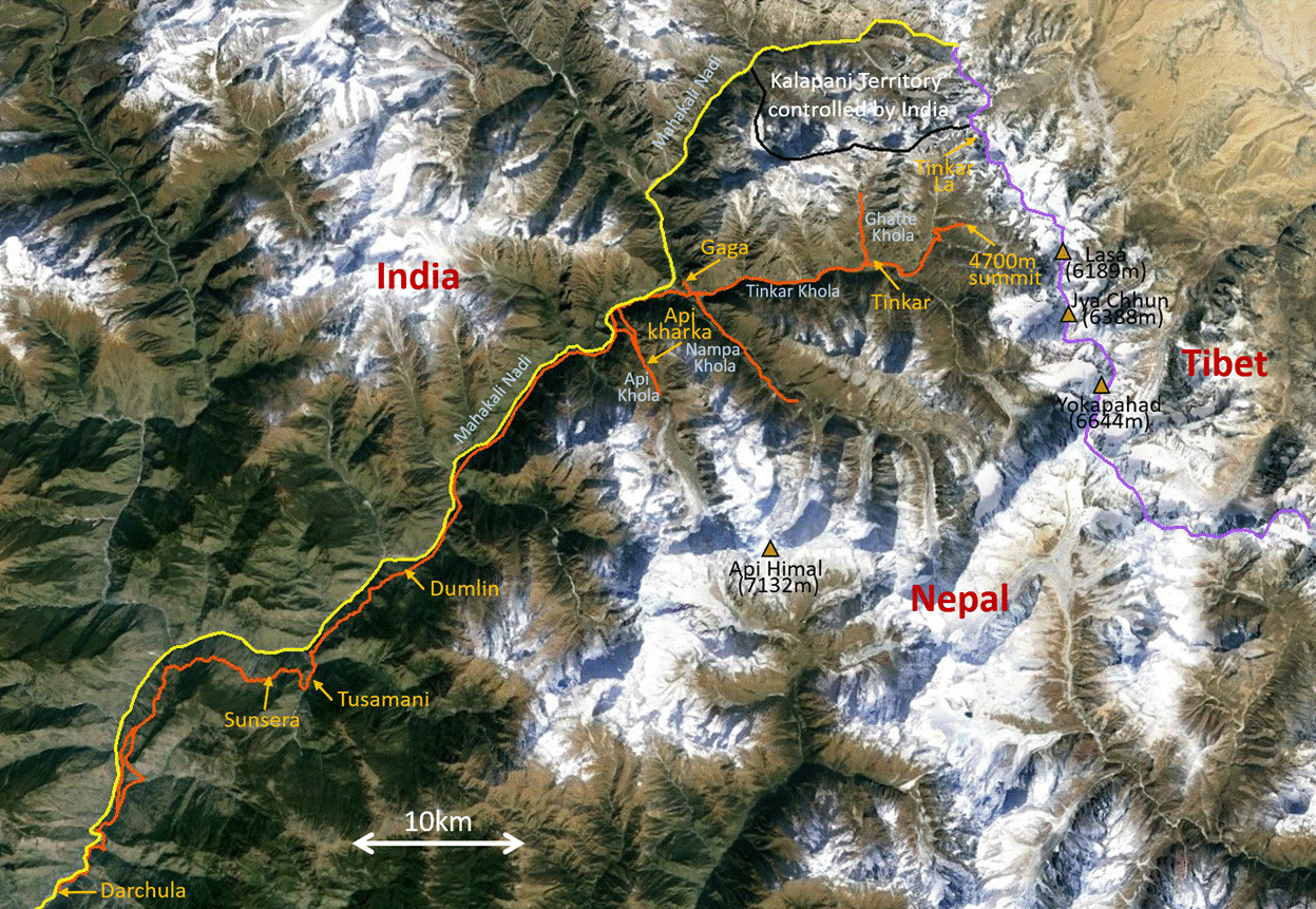
Nepal (April 2016): Valleys of Nepal‛s Northwestern Corner
2. Darchula to Dumlin
![]()
Return to main Nepal 2016 webpage
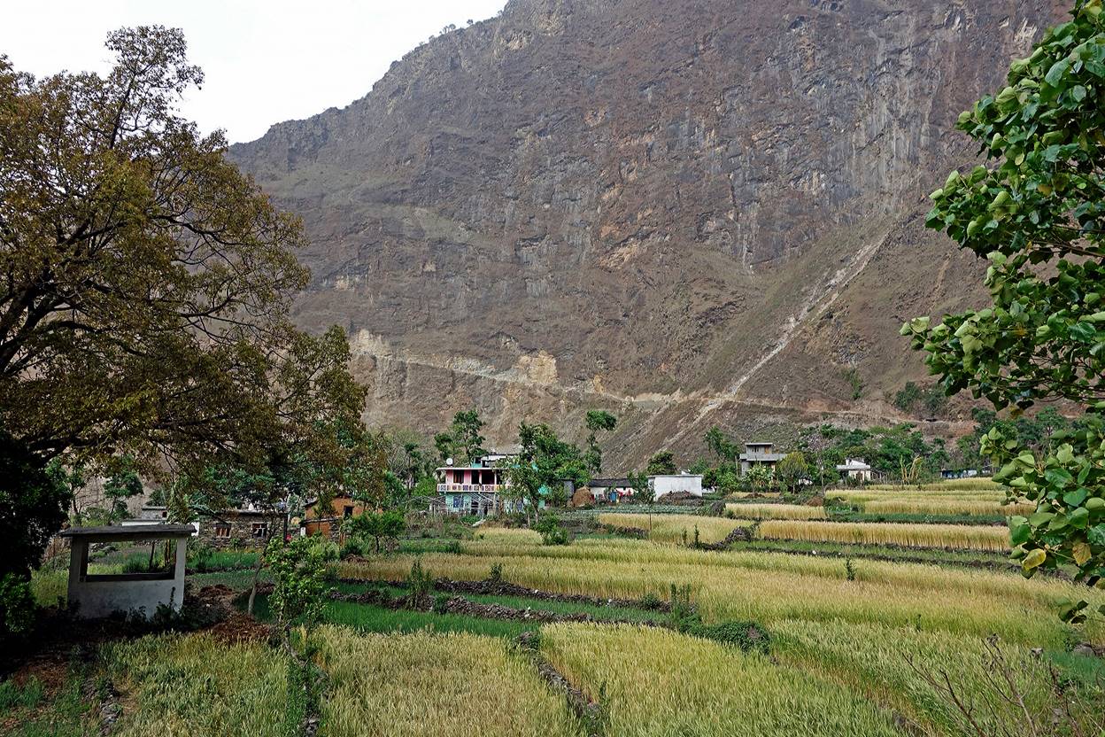
Wheat field soon after leaving Darchula, with our path to come visible in the cliff behind.
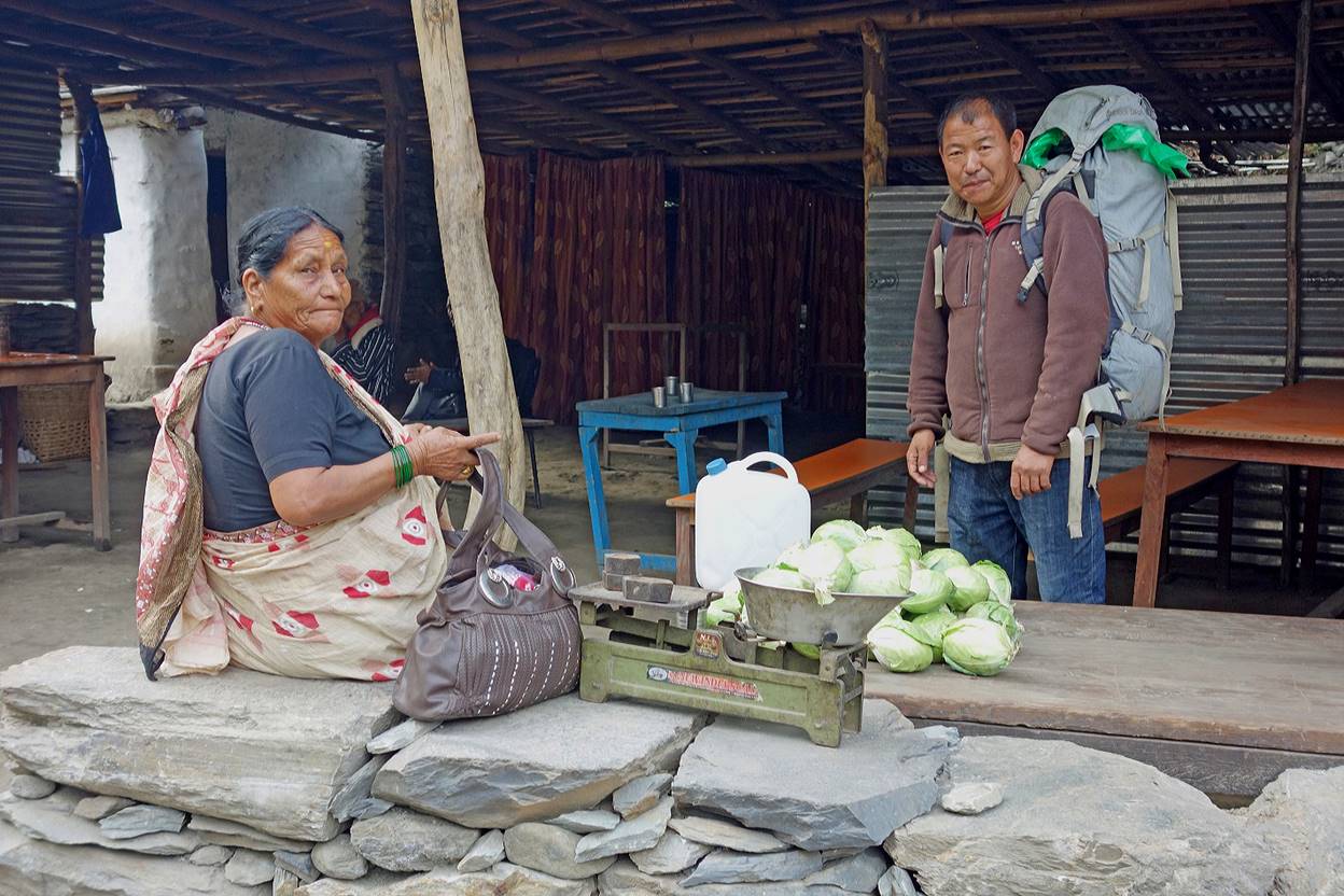
Pasang stopping to buy some fresh cabbage for dinner.
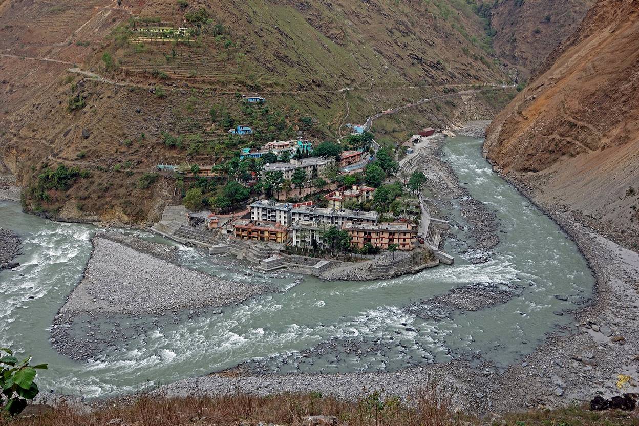
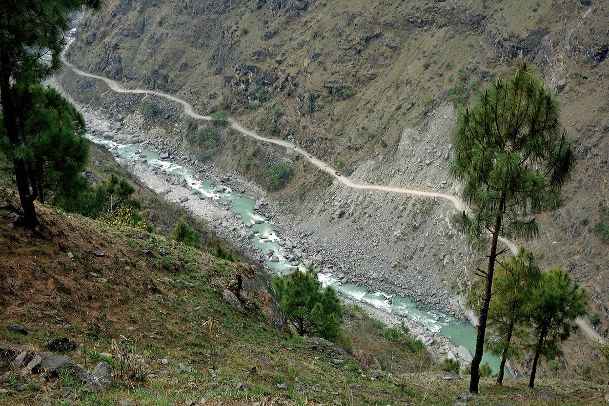
View over Mahakali Nadi with India on the opposite side.
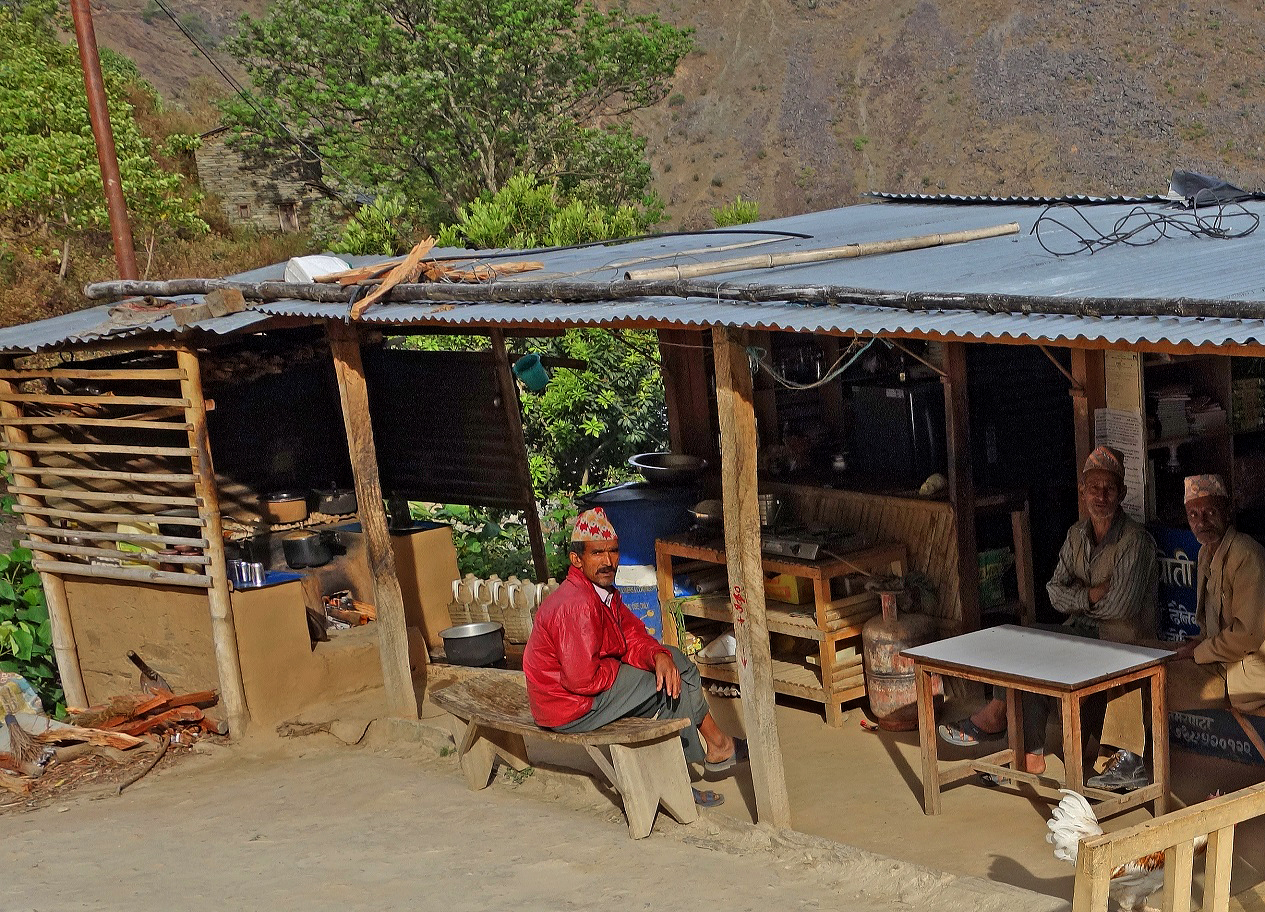
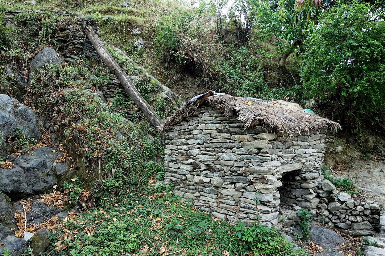
Teahouse along the way.
View over the Indian road on the other side of Mahakali Nadi.
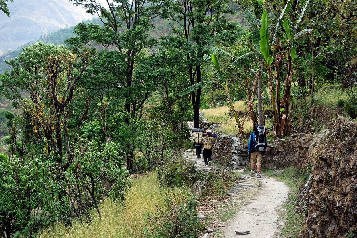
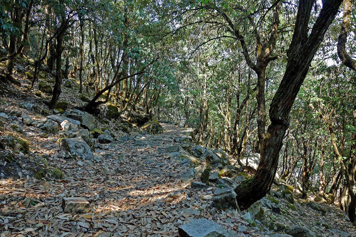
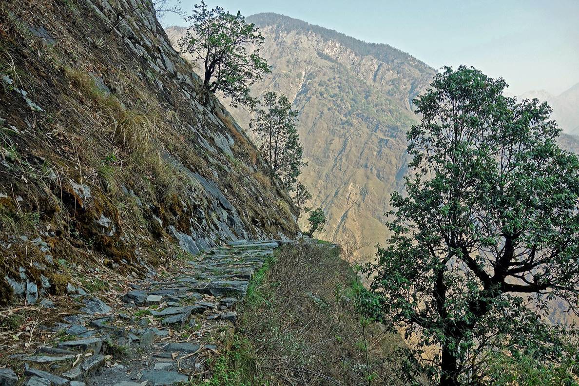
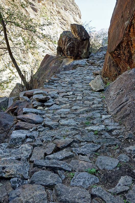
So far the trail is quite good and scenic.
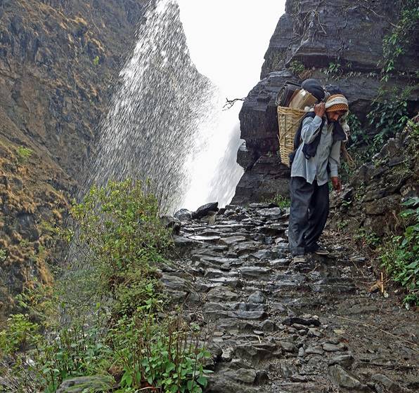
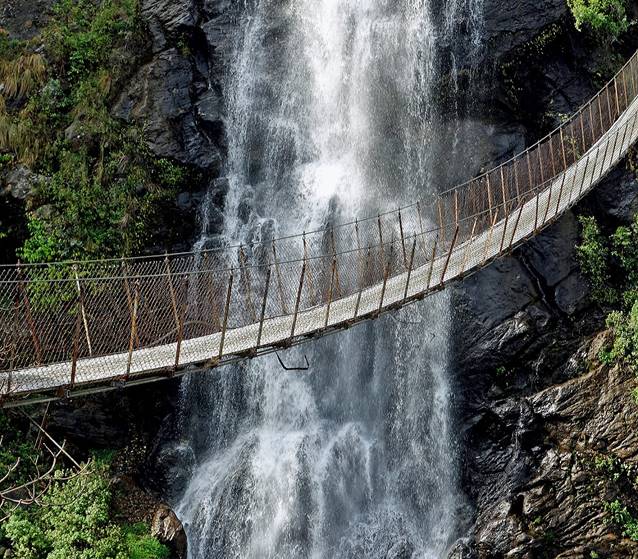
Left: Uday on a wet section of the trail near a waterfall. Right: the same waterfall seen behind a suspension bridge.
|
|
|
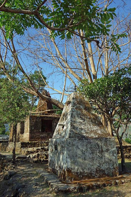
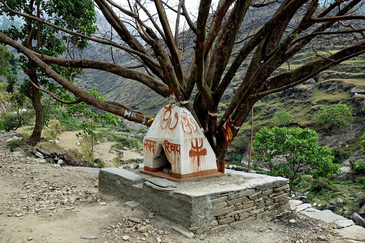
Hindu temple and its usual ″people tree″.
|
|
|
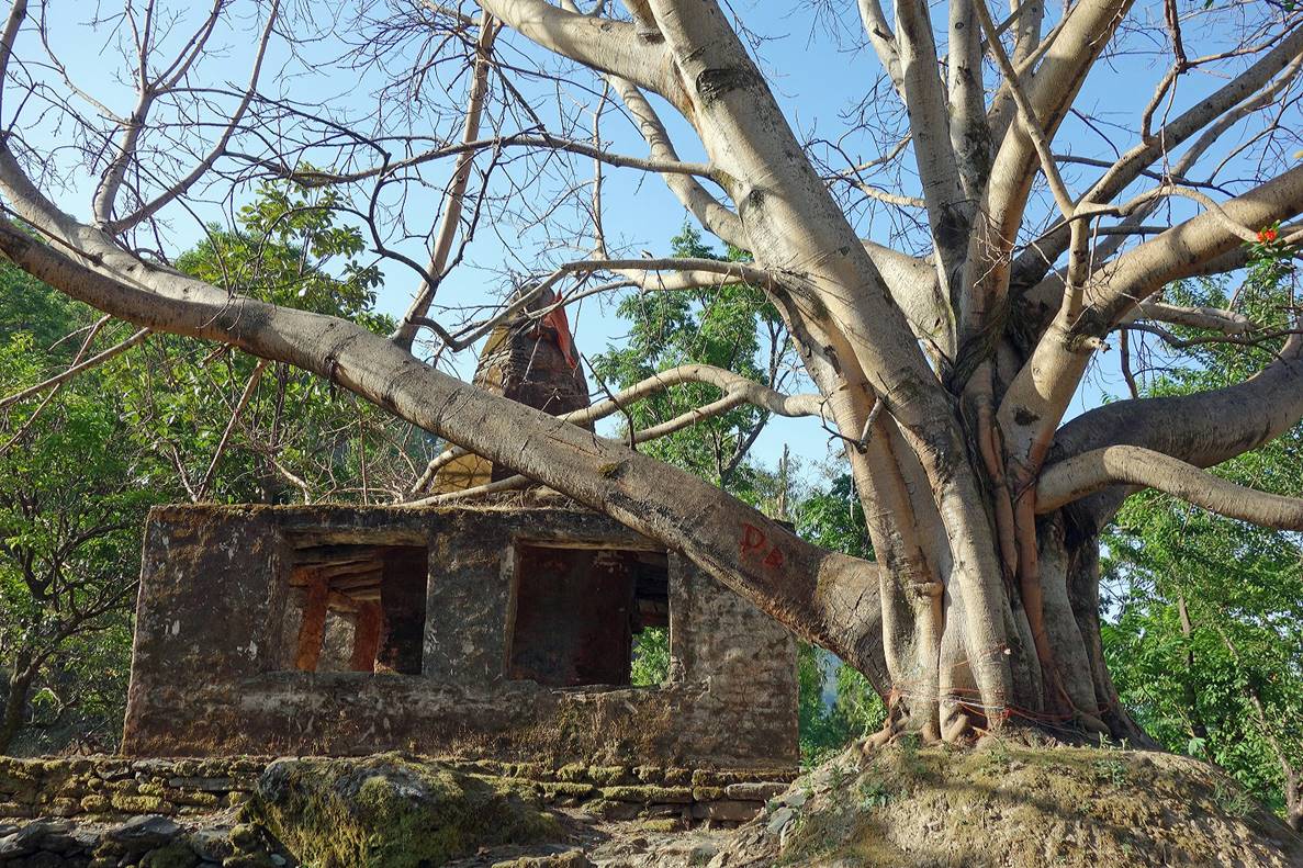
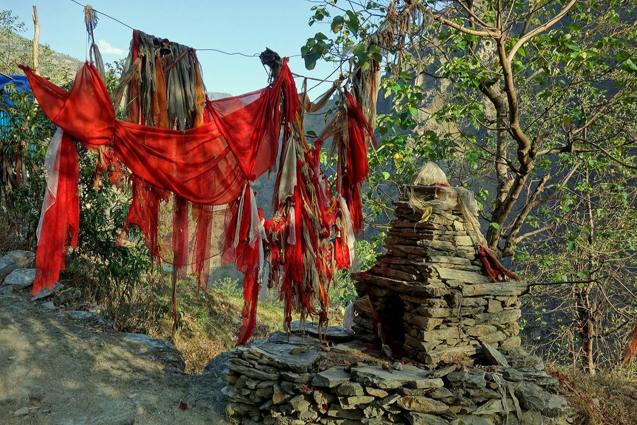
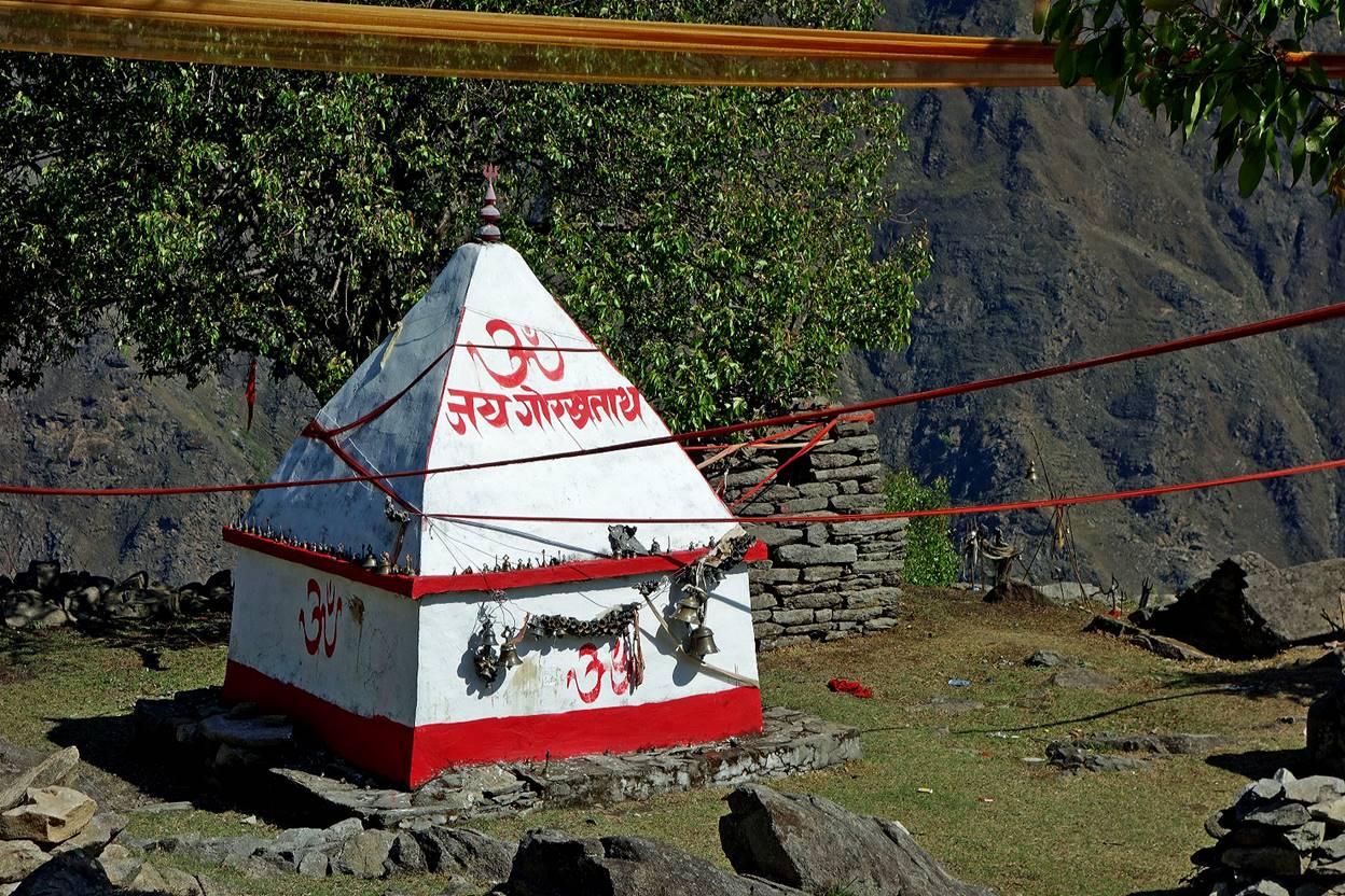
Other small shrines.
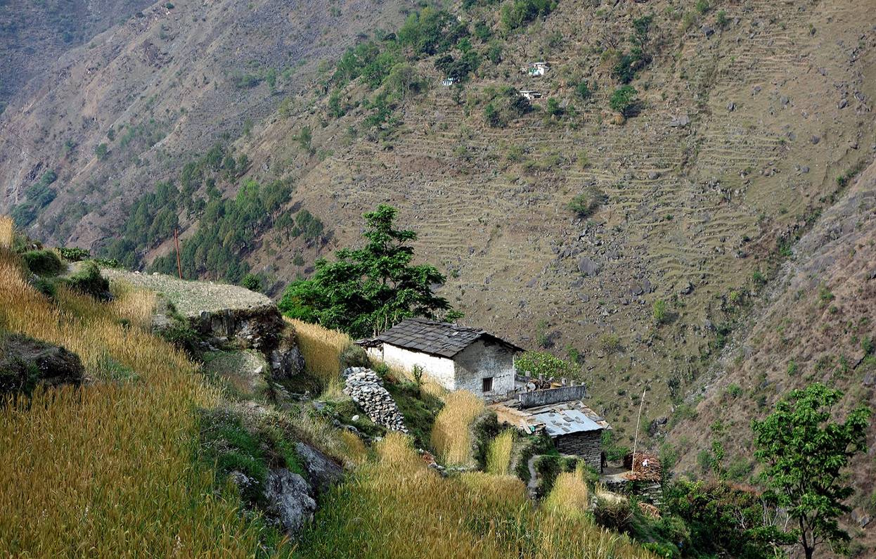
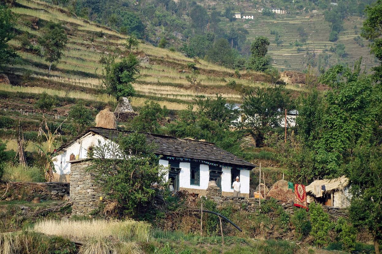
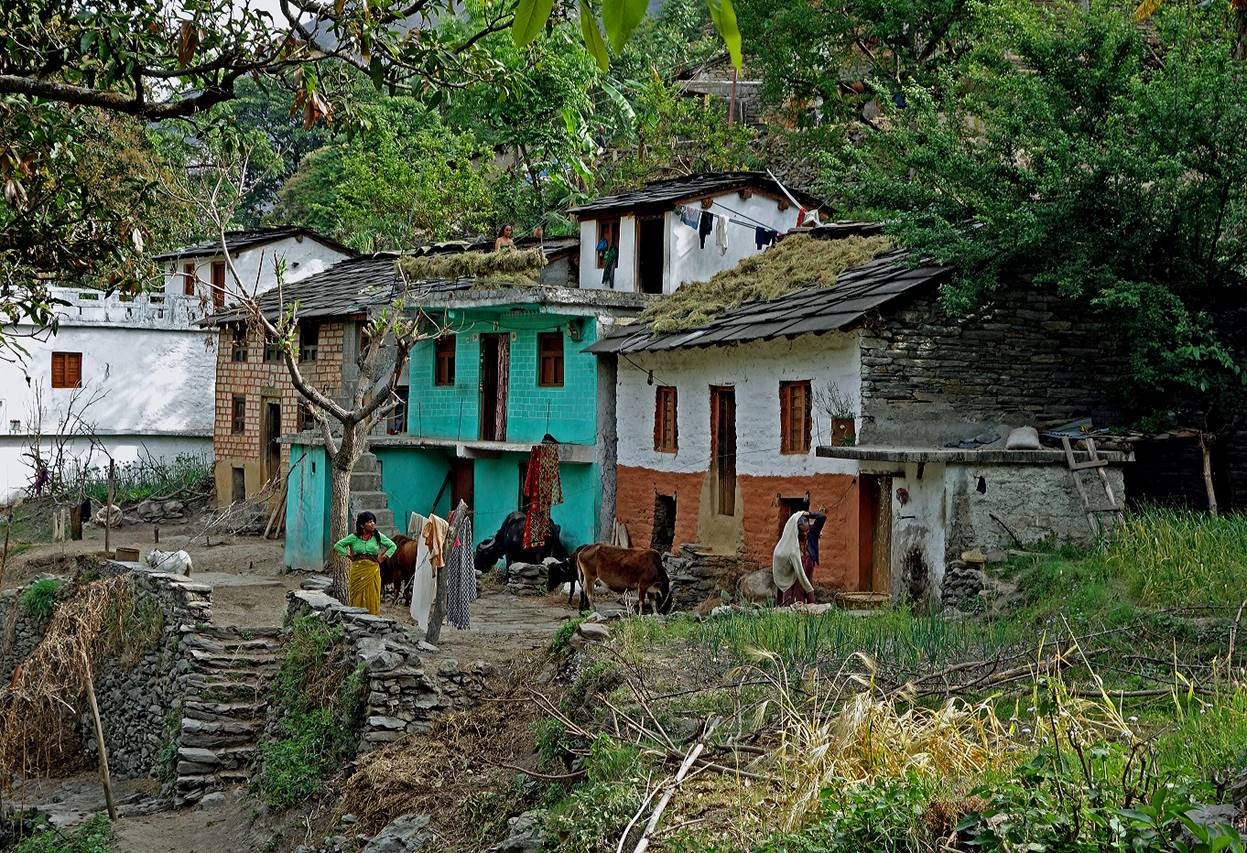
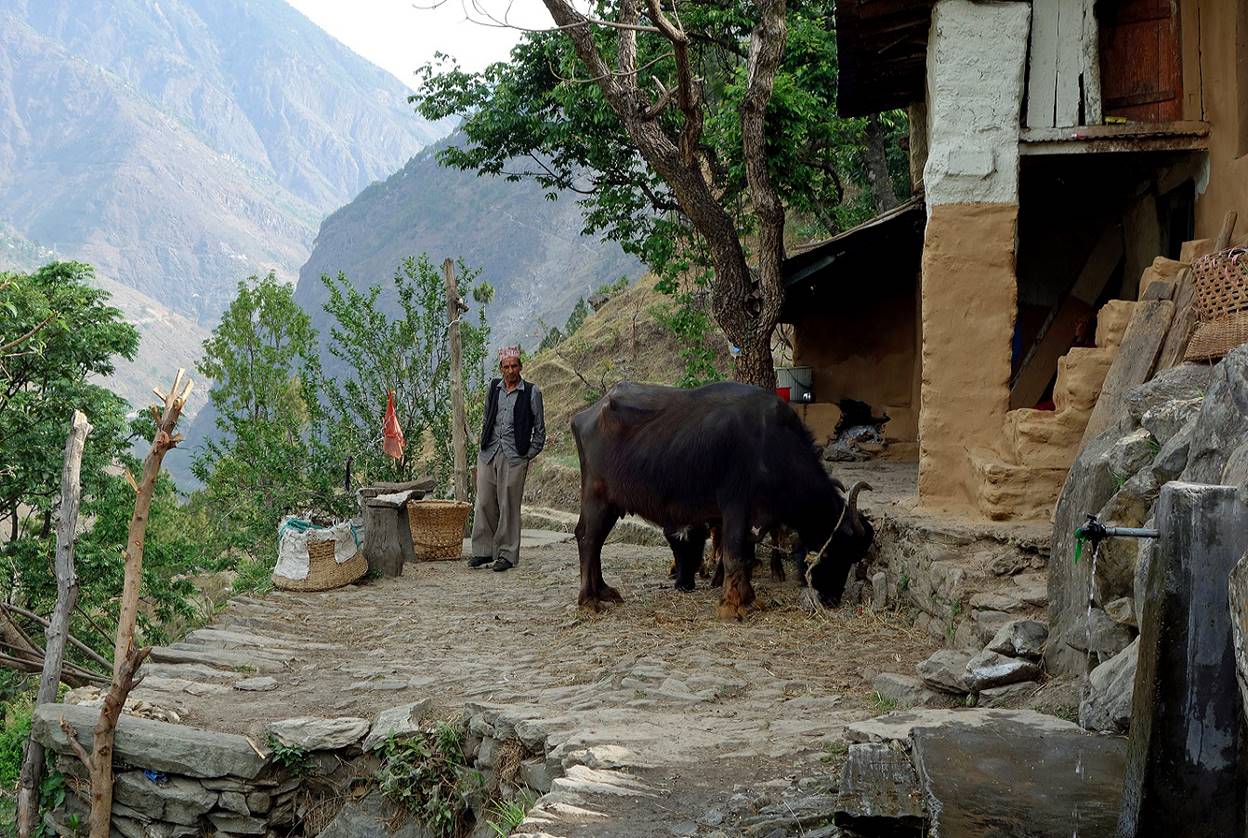
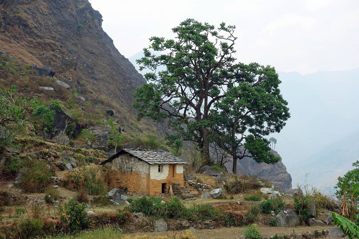
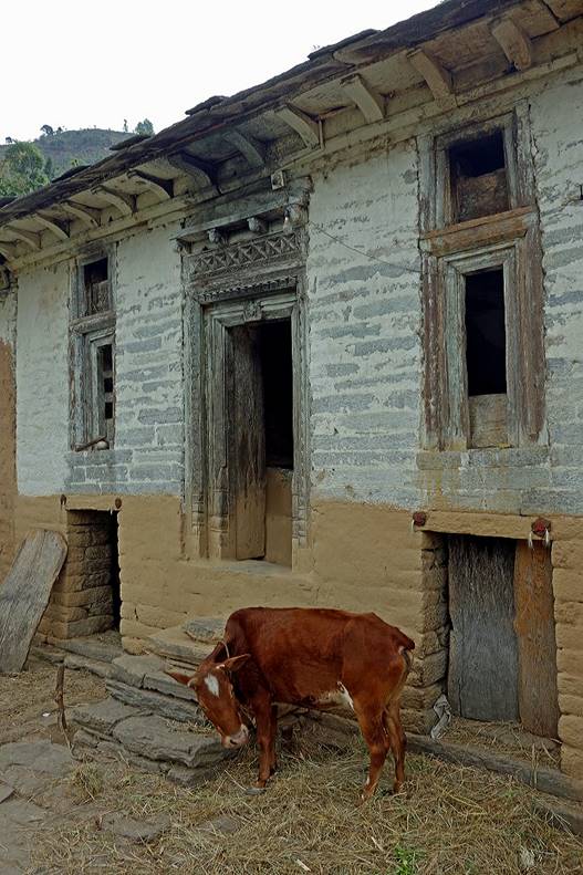
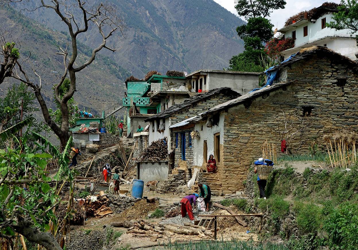
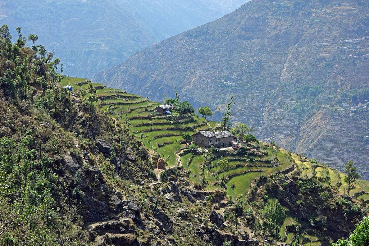
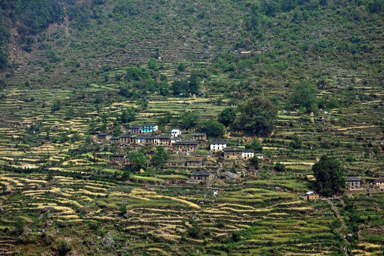
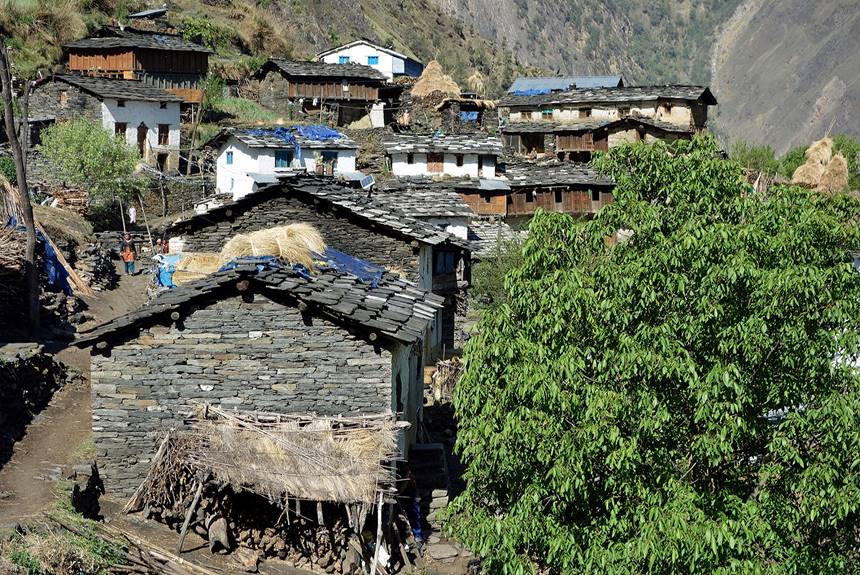
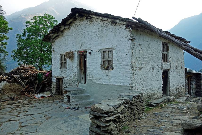
Houses and villages along the way.
|
|
|
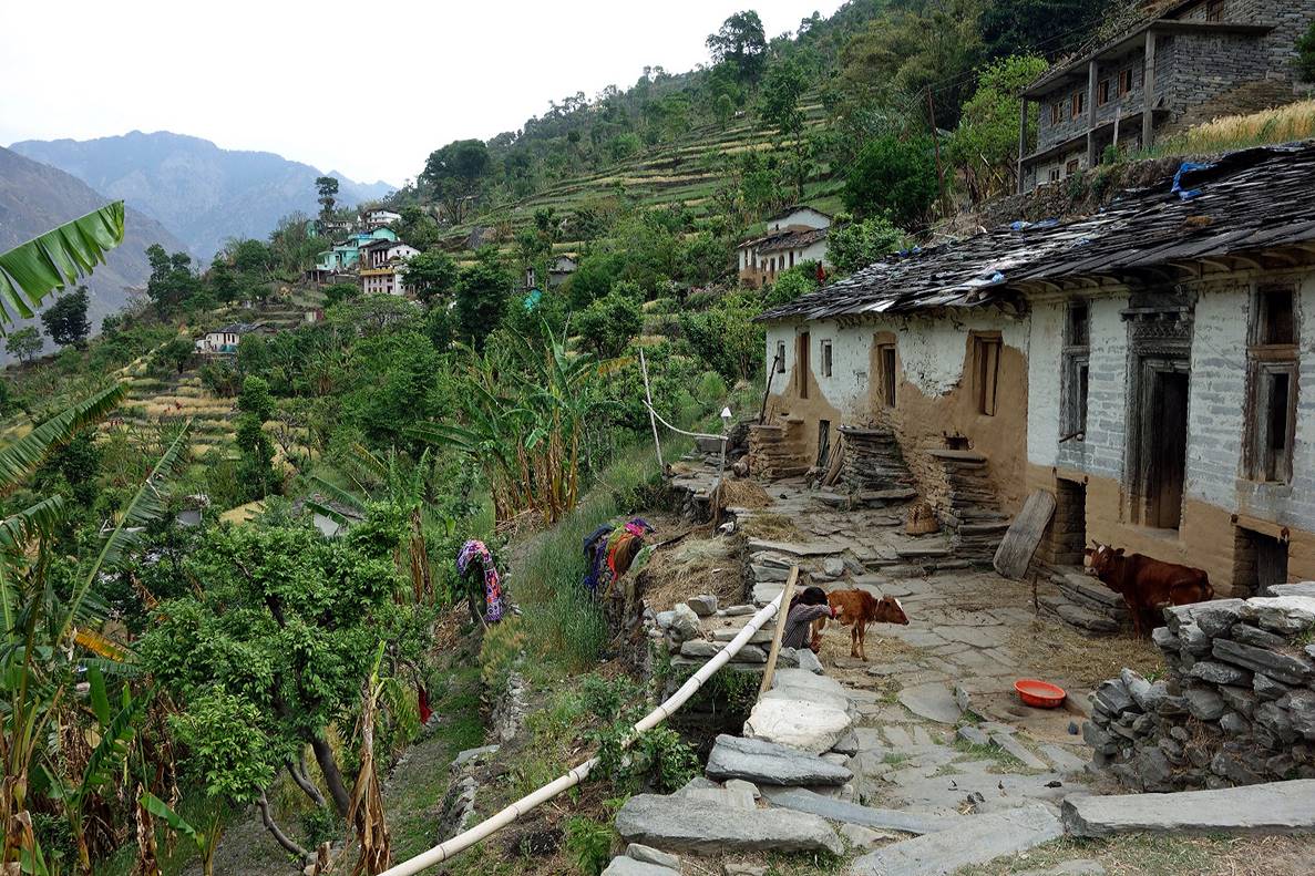
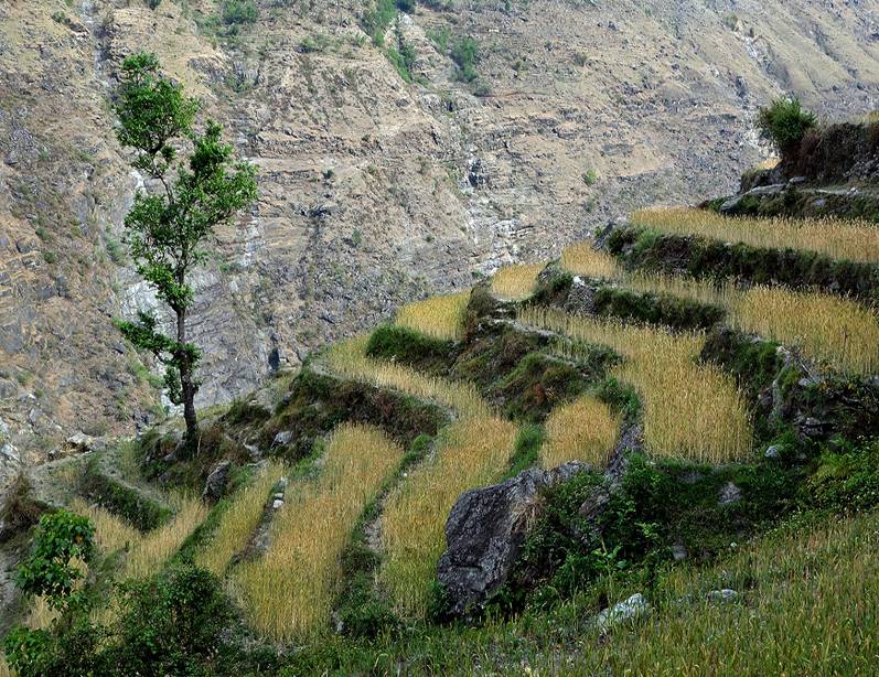
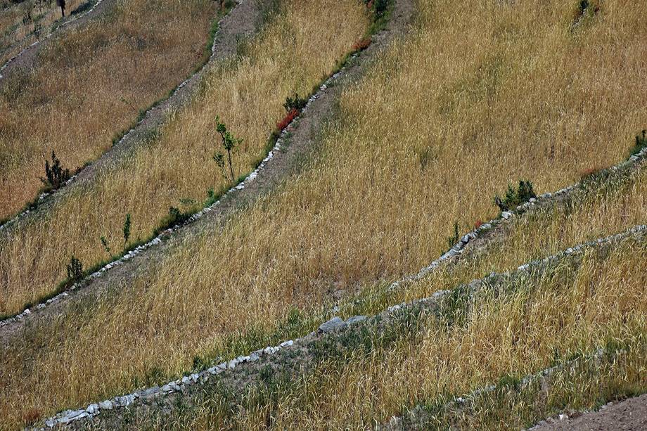
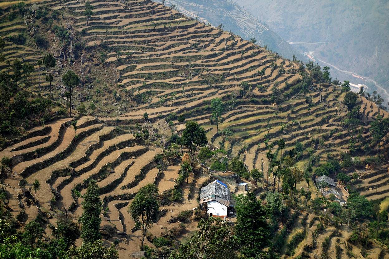
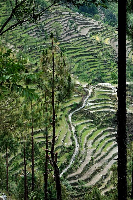
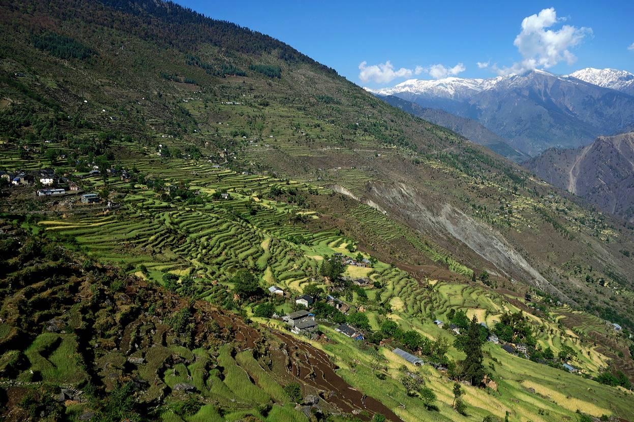
Terraced fields.
|
|
|
|
|
|
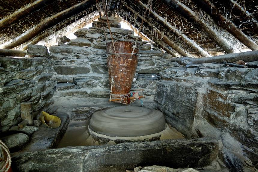
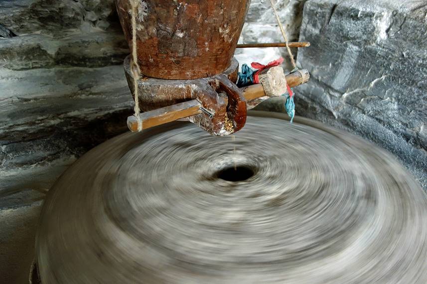
Traditional water-propelled flour mill (ghatta). Powering water is brought by a hollowed tree trunk.
|
|
|
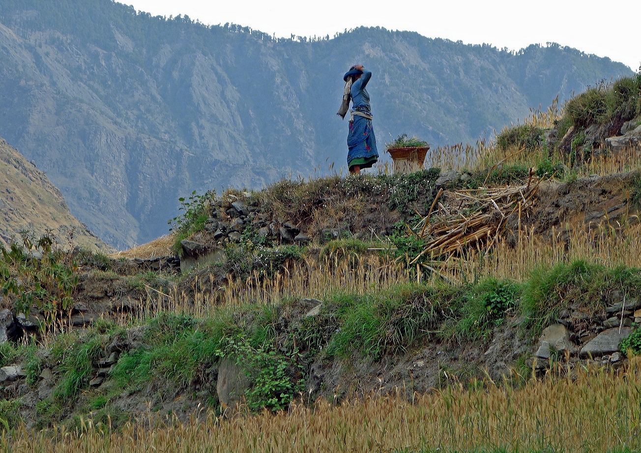
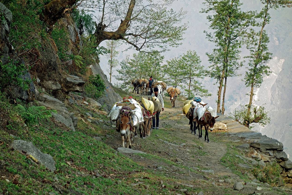
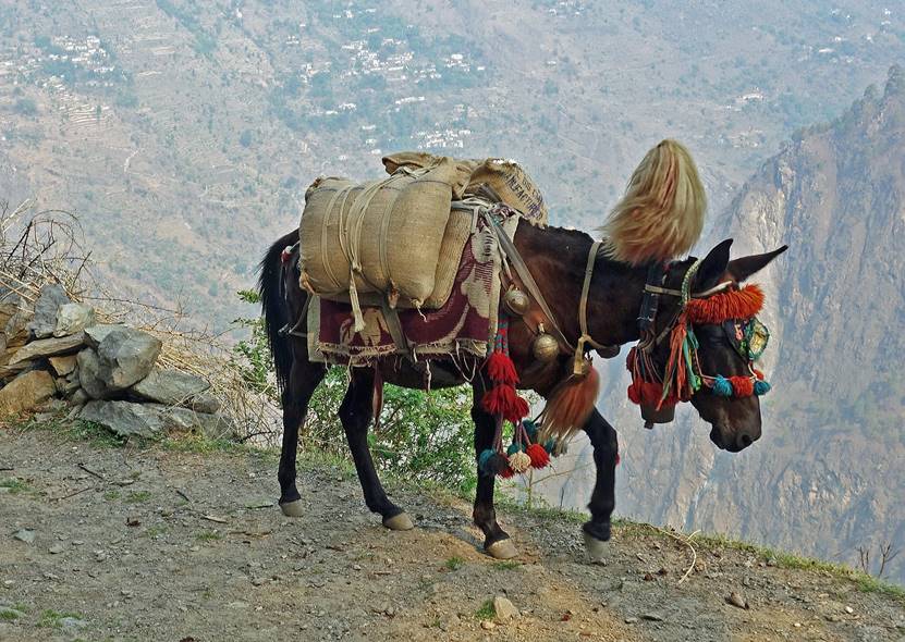
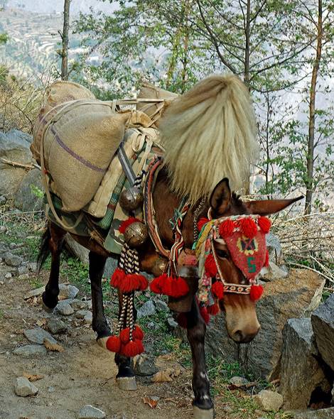
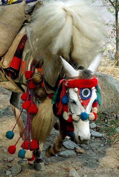
This portion of the trek crosses a relatively large number of small villages and the trails are fairly good. Small horses are often used to carry loads. The leading horses of a caravan are highly decorated.
|
|
|
|
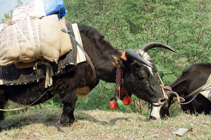
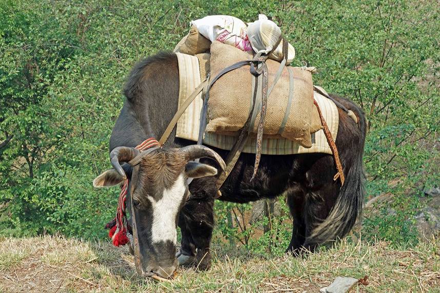
Dzos or yakows, hybrids of a yak and a cow, are also used to carry loads. At this elevation (around 2000m) yaks would not survive.
|
|
|
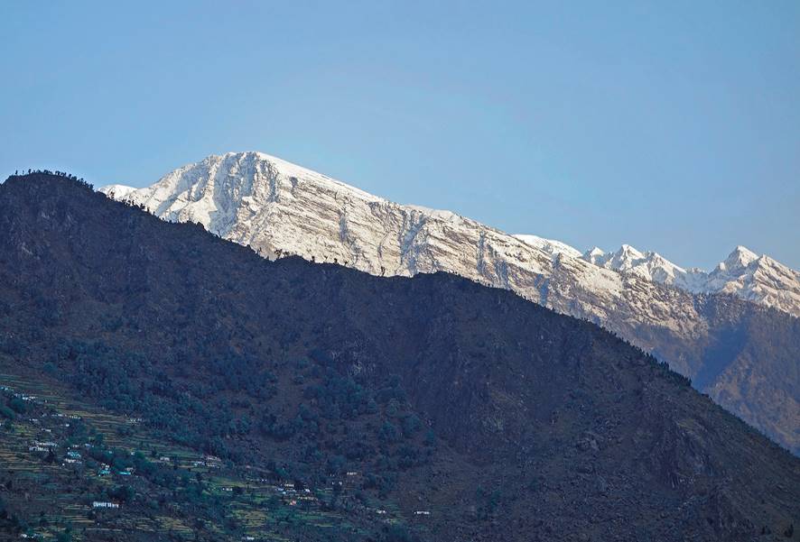
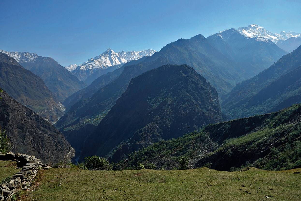
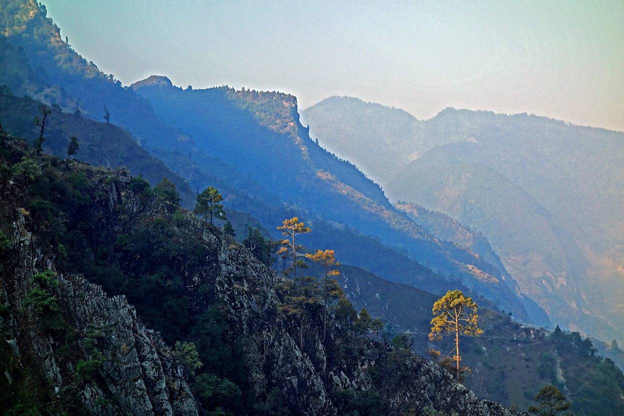
Snowy mountains (located in India) visible from locations near the village of Sunsera (see map at the top of the page).
|
|
|
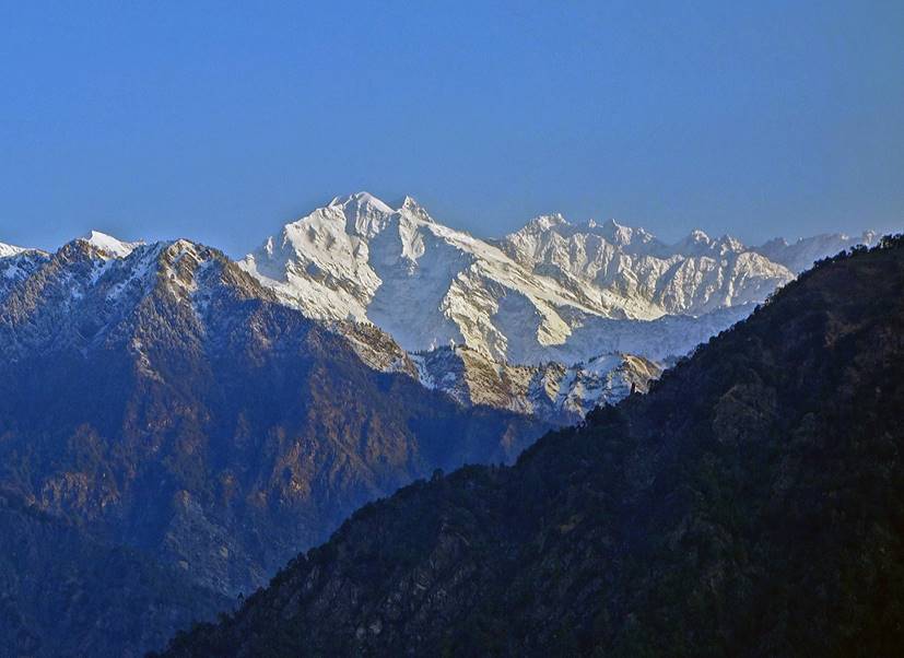
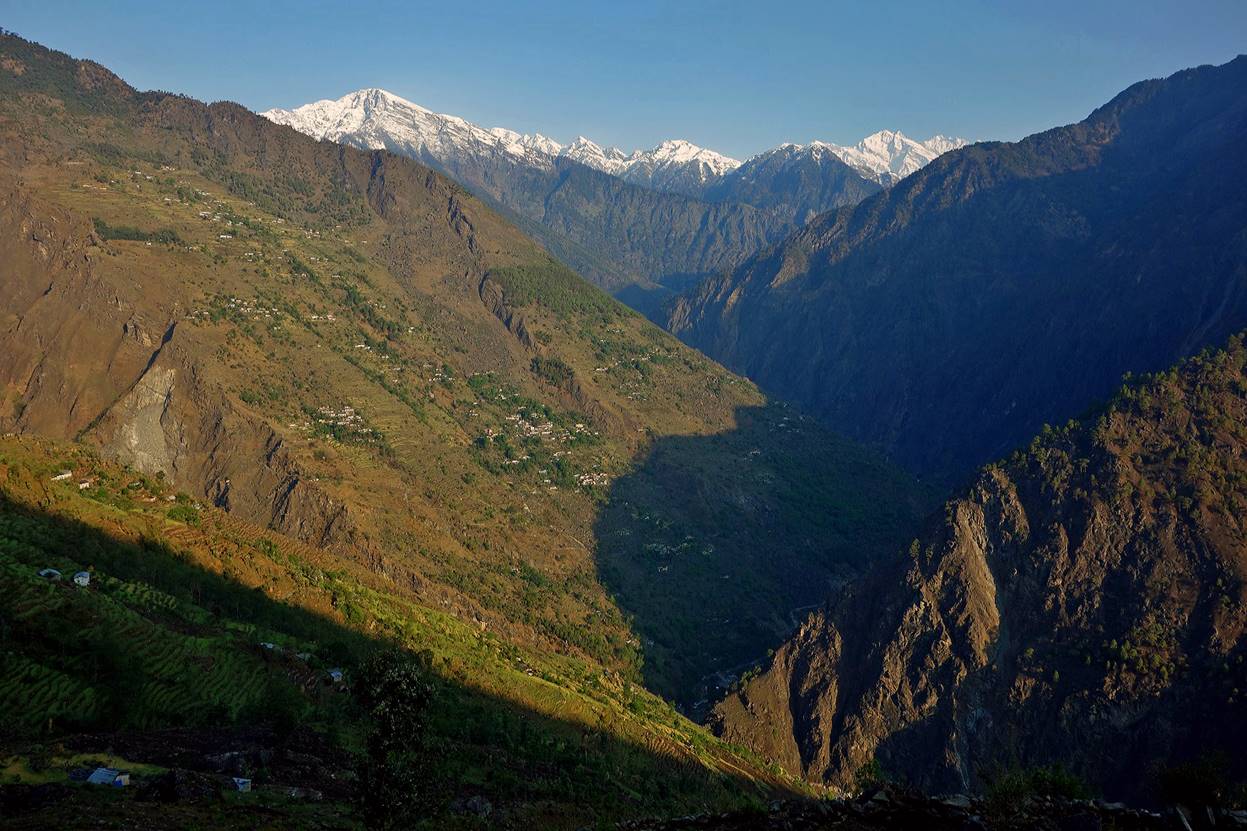
View over the Mahakali valley on a hazy morning from a location near Sunsera.
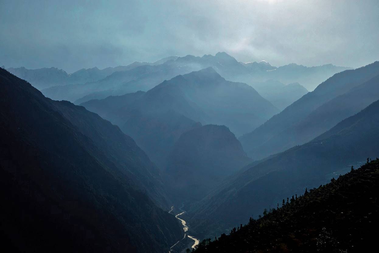
Another view a bit later, after the air had cleared out. (The Mahakali valley is the one on the left side of the photo).
Shrine at this same location.
Village of Tusarpani.
A small rhododendron forest.
Along the trail near Dumlin.
|
|
|
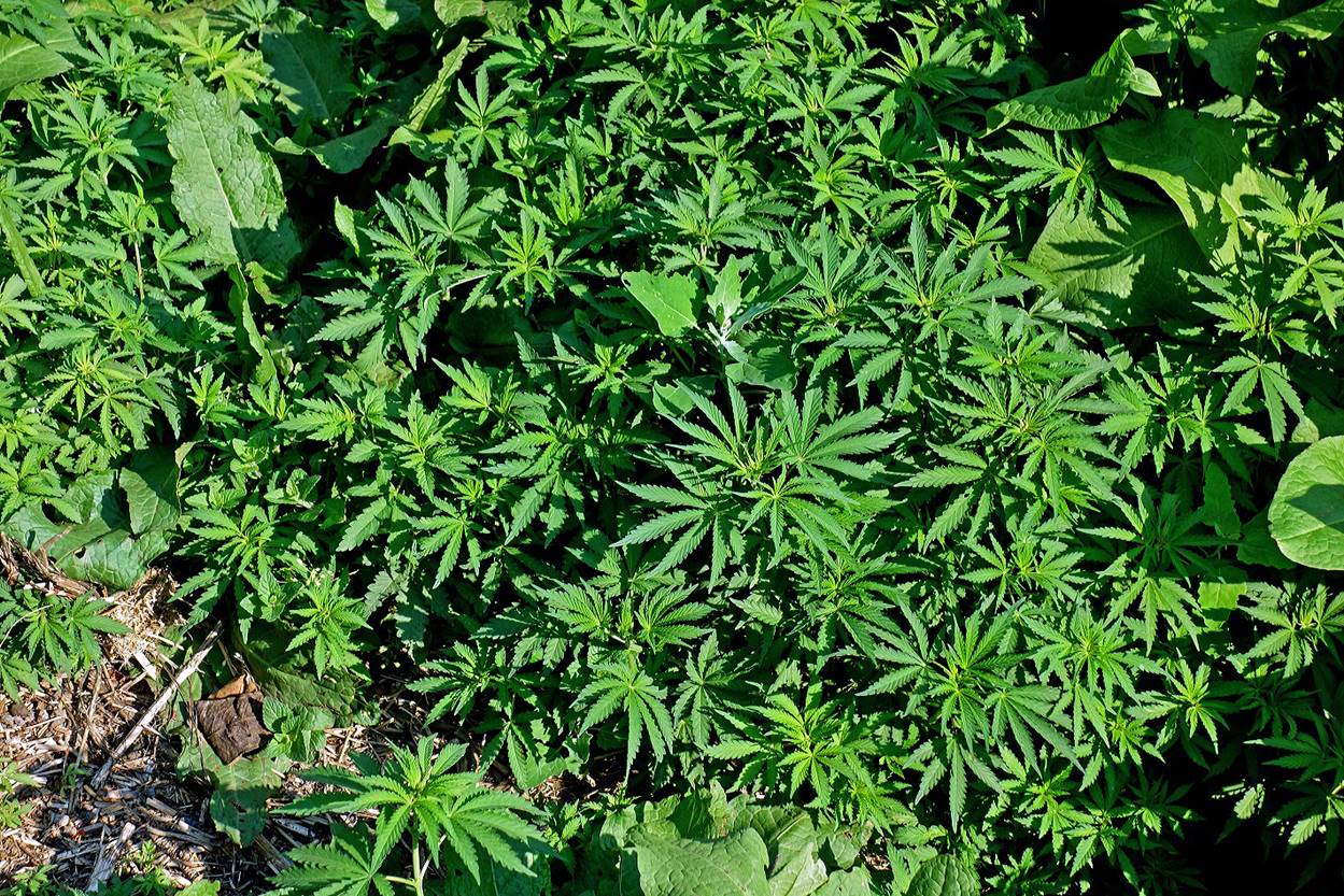
Wild cannabis.
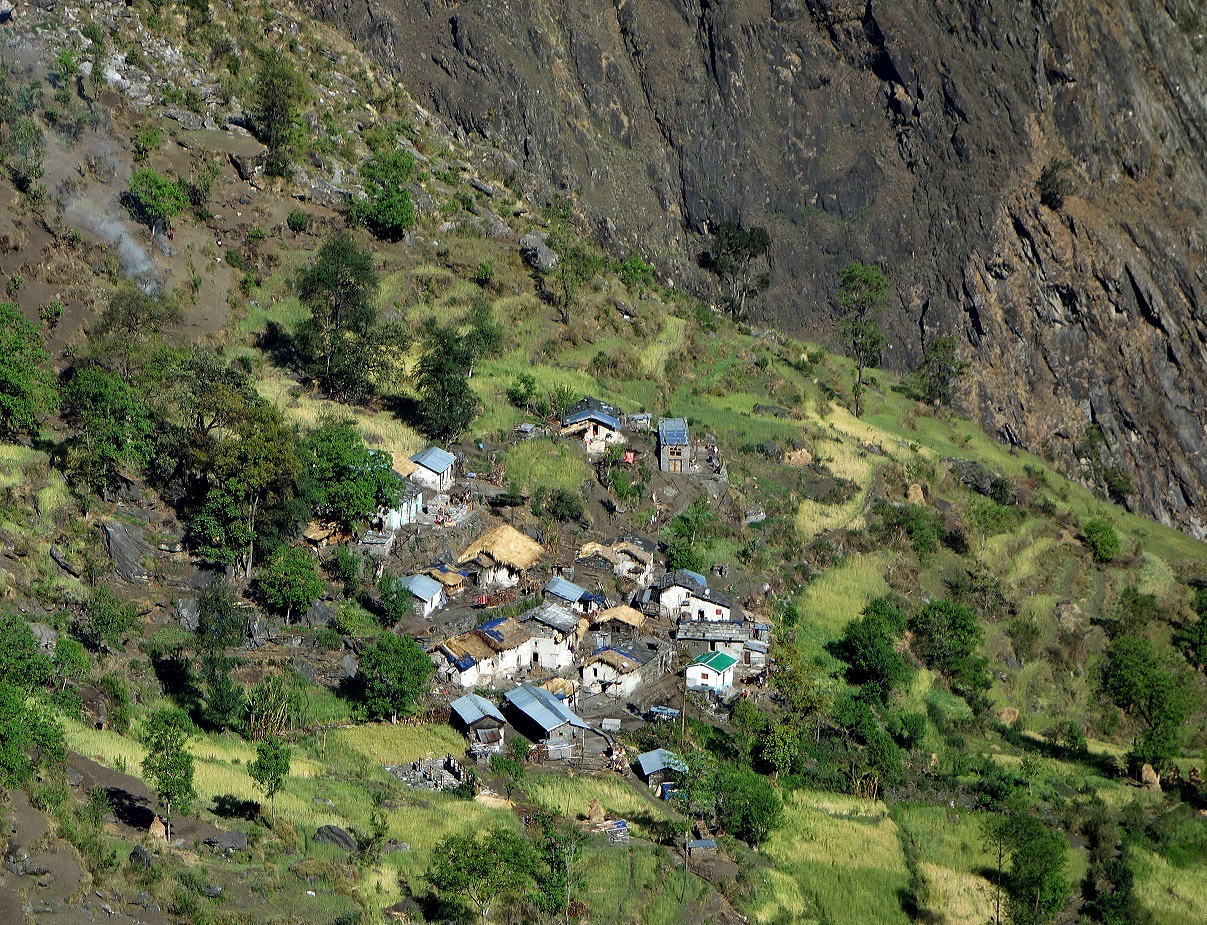
Small village just before reaching Dumlin.
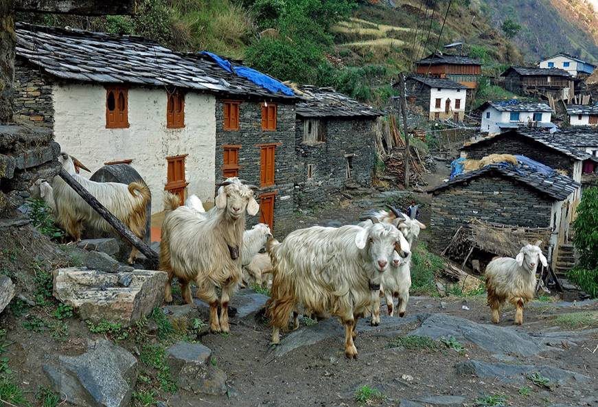
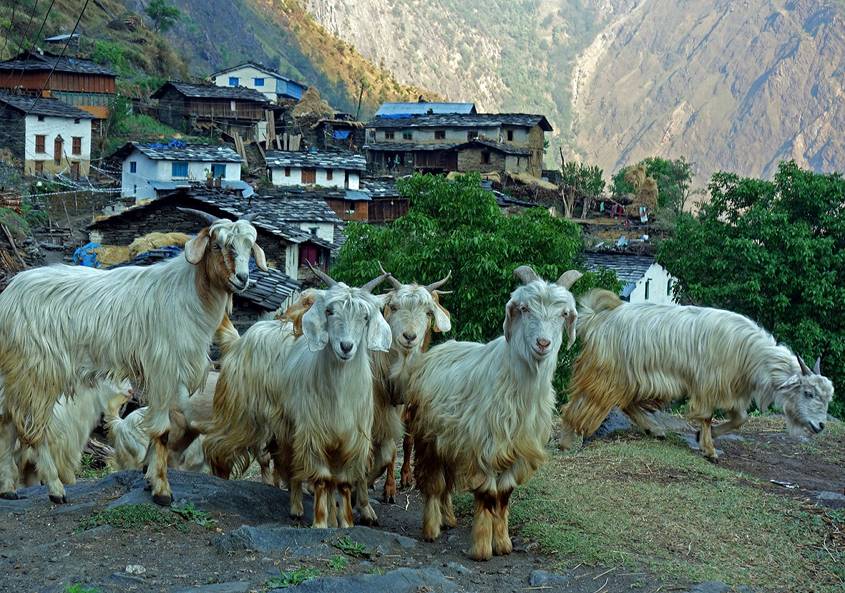
Friendly greeting committee in Dumlin.
|
|
|
Dumlin is the last significant village before Gaga.
|
|
|
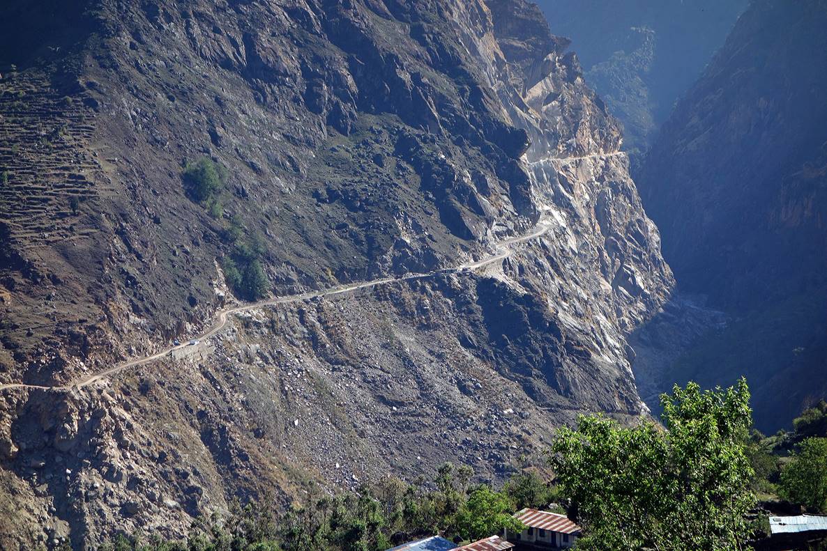
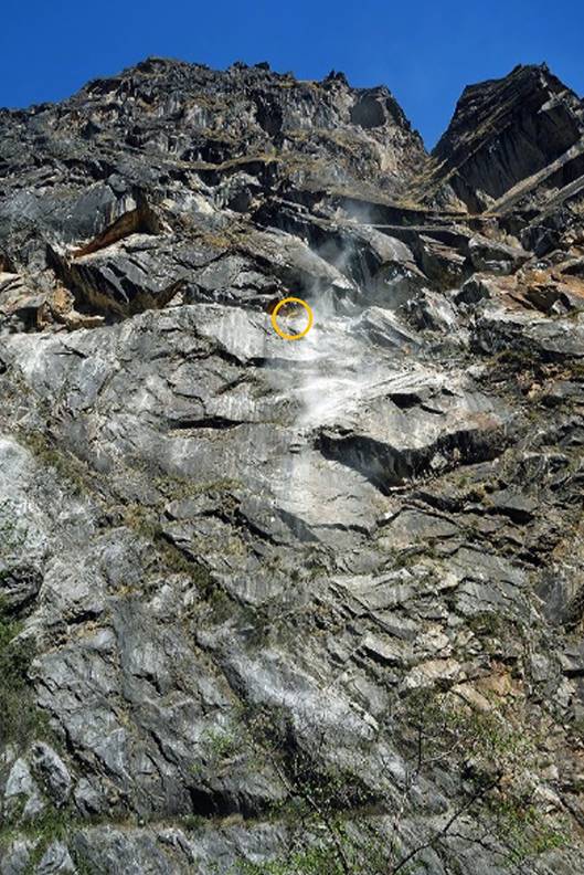
Road under construction on the Indian side of Mahakali Nadi, seen from Dumlin. Most likely the main purpose of this road will be to serve the numerous small military camps along the Mahakali Nadi. I wonder, however, whether it will survive monsoon seasons. In the photo on the right note the hydraulic shovel that literally cuts its way across the cliff. The operator of the shovel has a very dangerous job!
|
|
|
![]()