Nepal (April 2016): Valleys of Nepal‛s Northwestern Corner
5. Nampa Valley
![]()
Return to main Nepal 2016 webpage
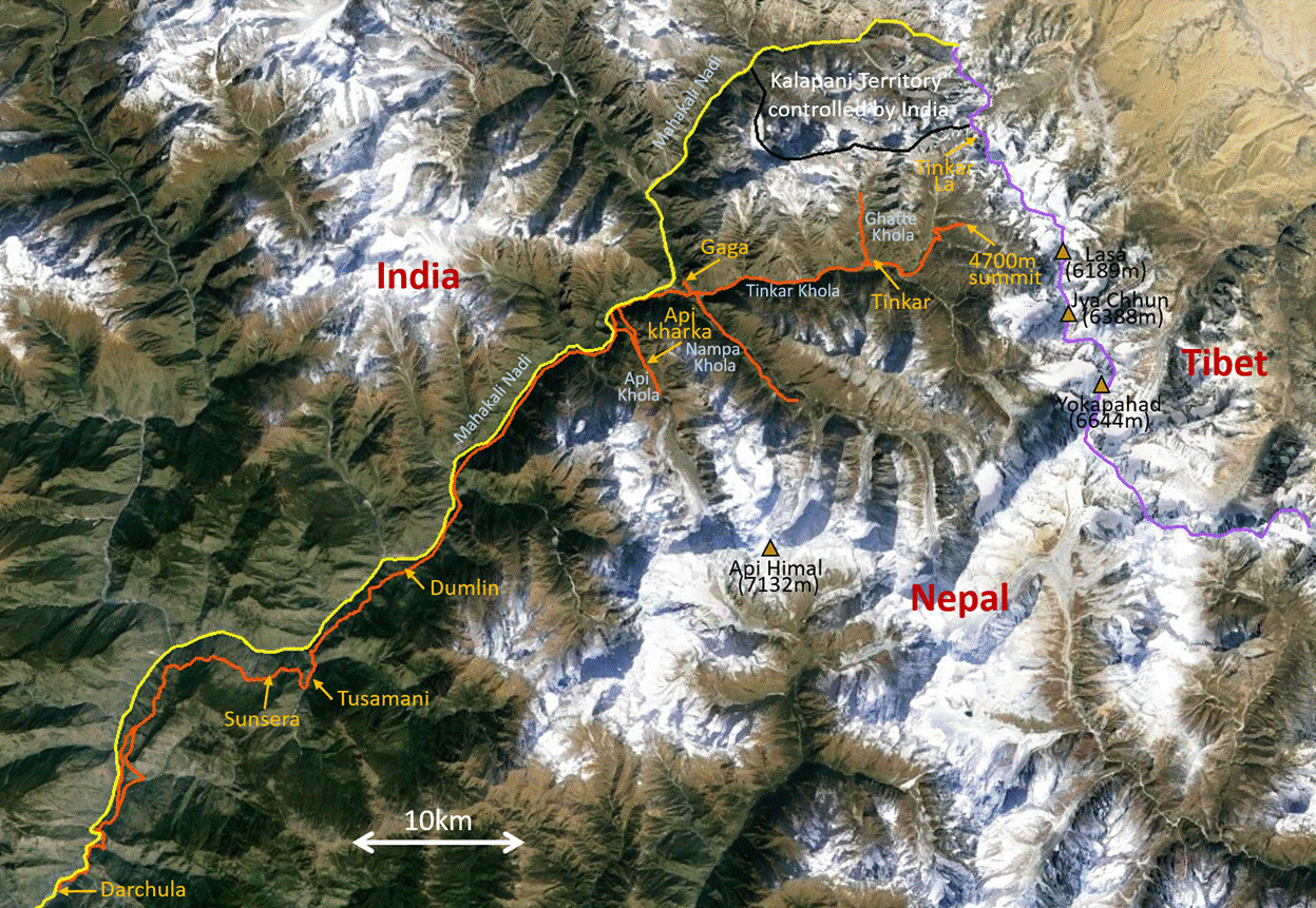
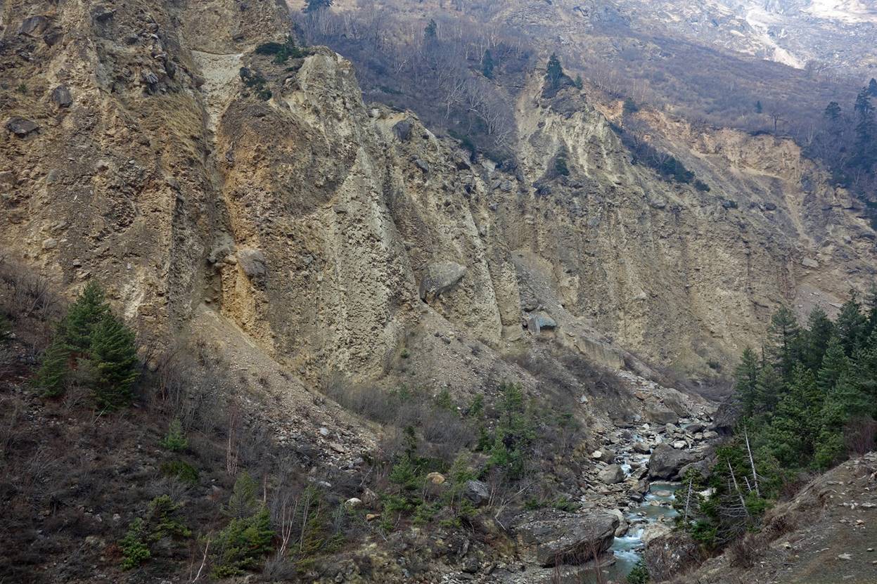
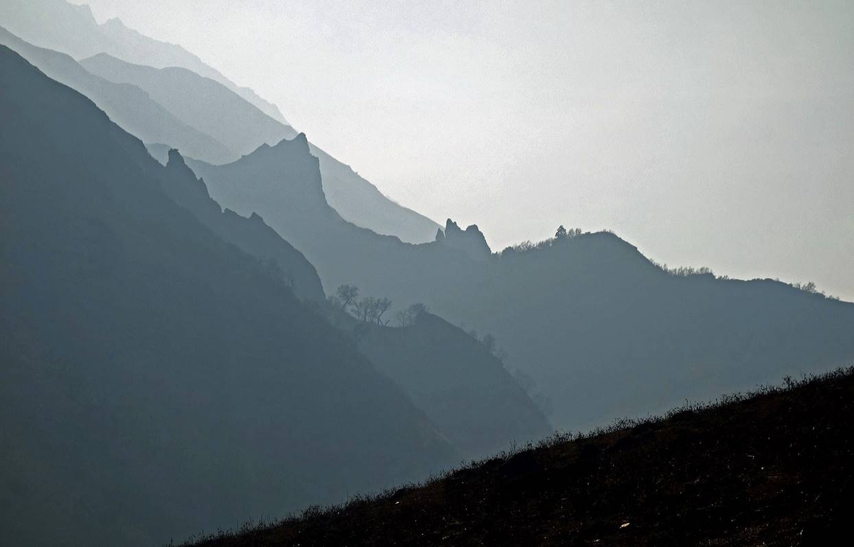
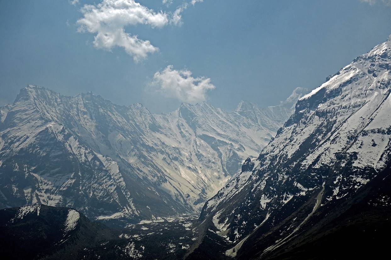
After visiting the Tinkar valley we returned to Gaga and moved into the Nampa valley. Unlike Tinkar valley, Nampa valley has never been a trade route, but it is bounded on its southern side by an impressive series of glaciers descending from multiple 6000+m peaks, including Api Himal. Nowdays few local people go into this valley. Trails, which probably have never been great, are now in terrible shape. Our progress was slow and we did not go as far as I had initially planned. In addition, with the approach of the monsoon, many farmers at lower elevation in Nepal and India had started huge fires. The air was loaded with smoke most of the time, limiting visibility. This was unfortunate, because the valley boasts superlative views.
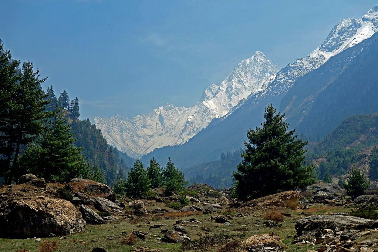
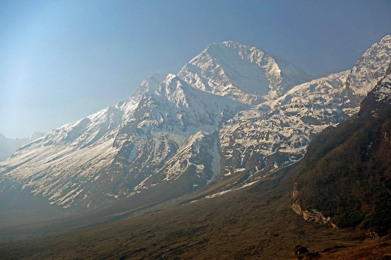
View at the entrance of the valley soon after leaving Gaga.
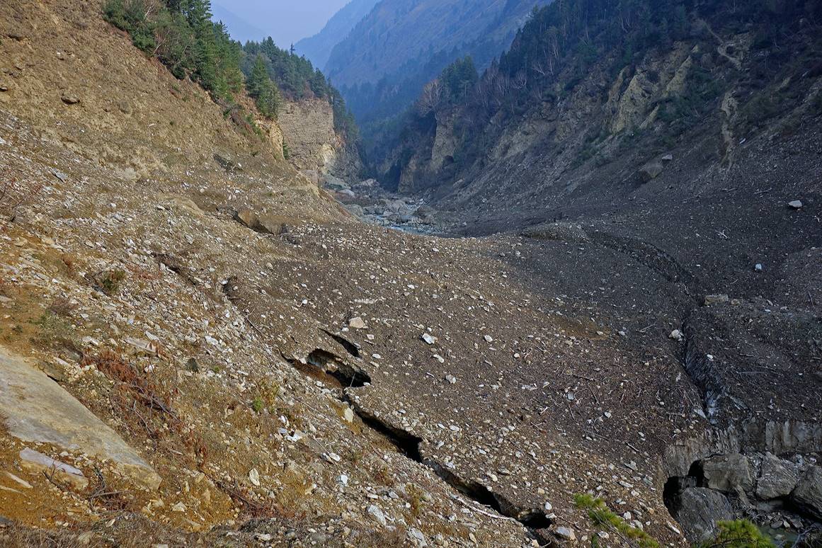
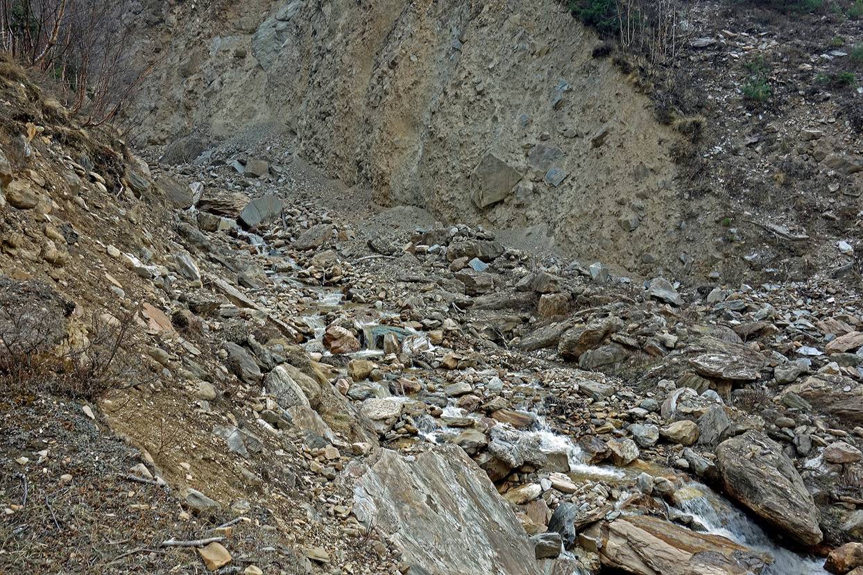
Avalanche debris.
|
|
|

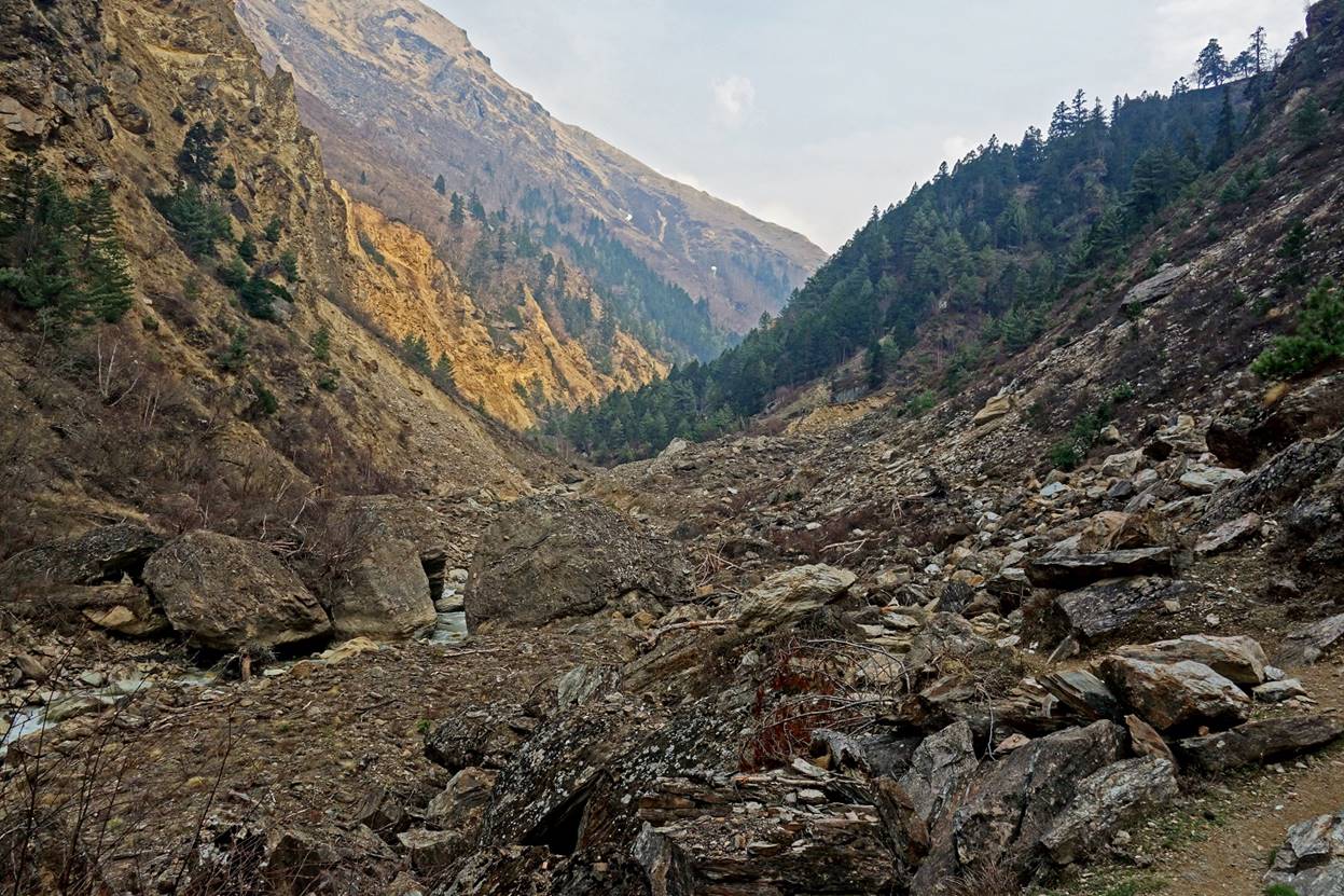
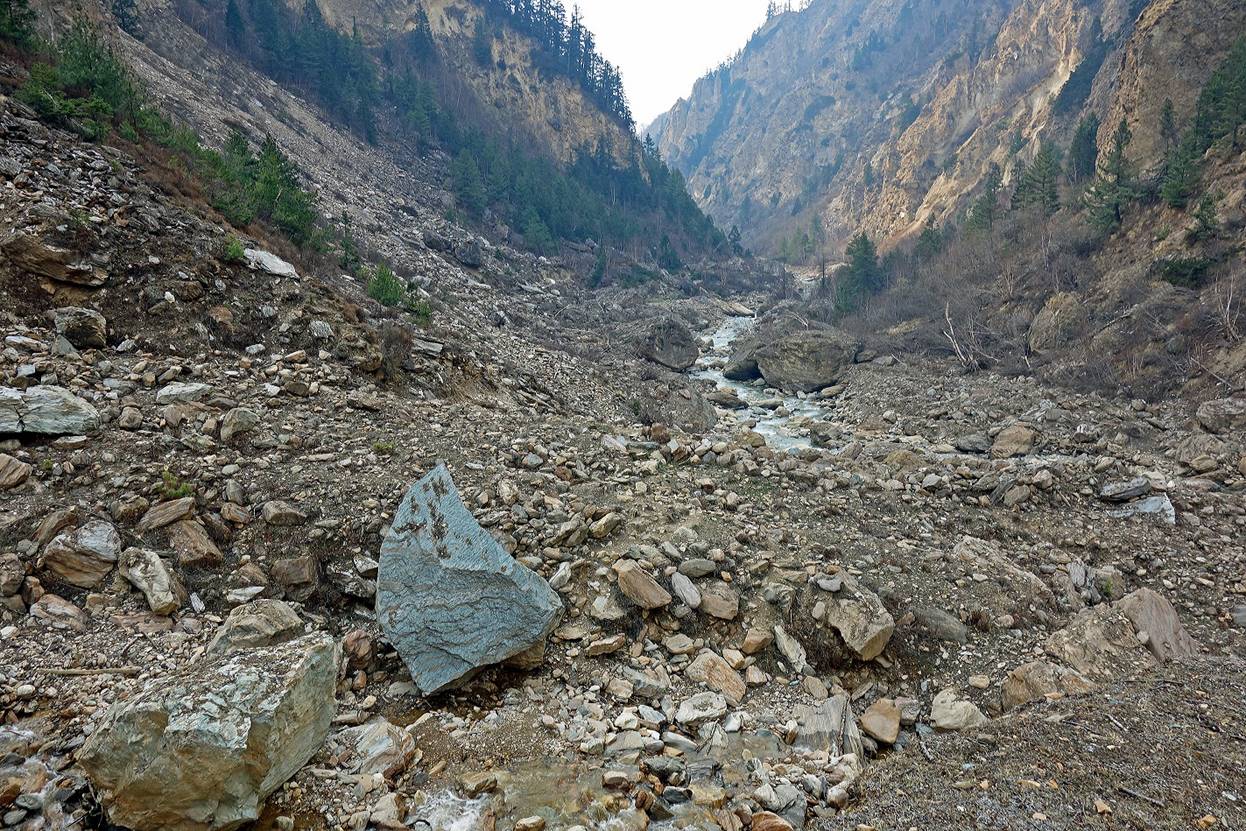
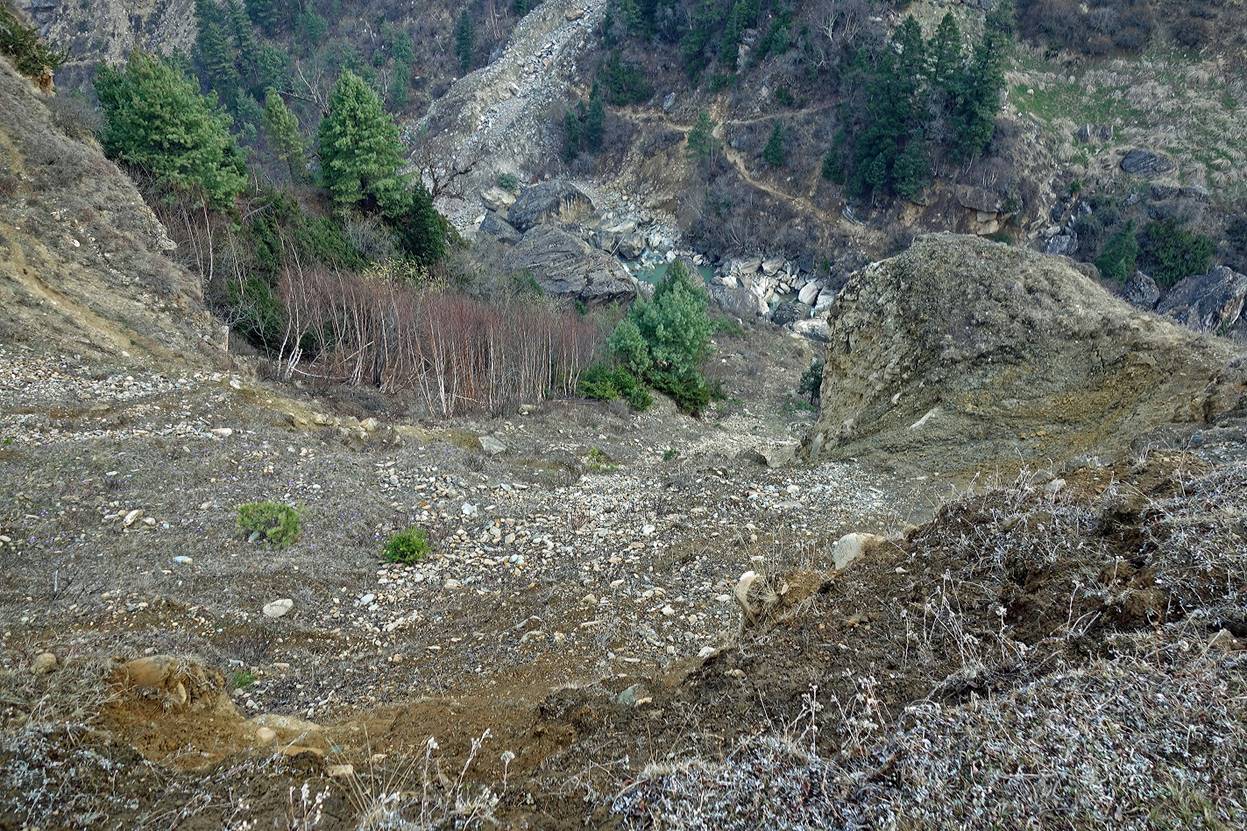
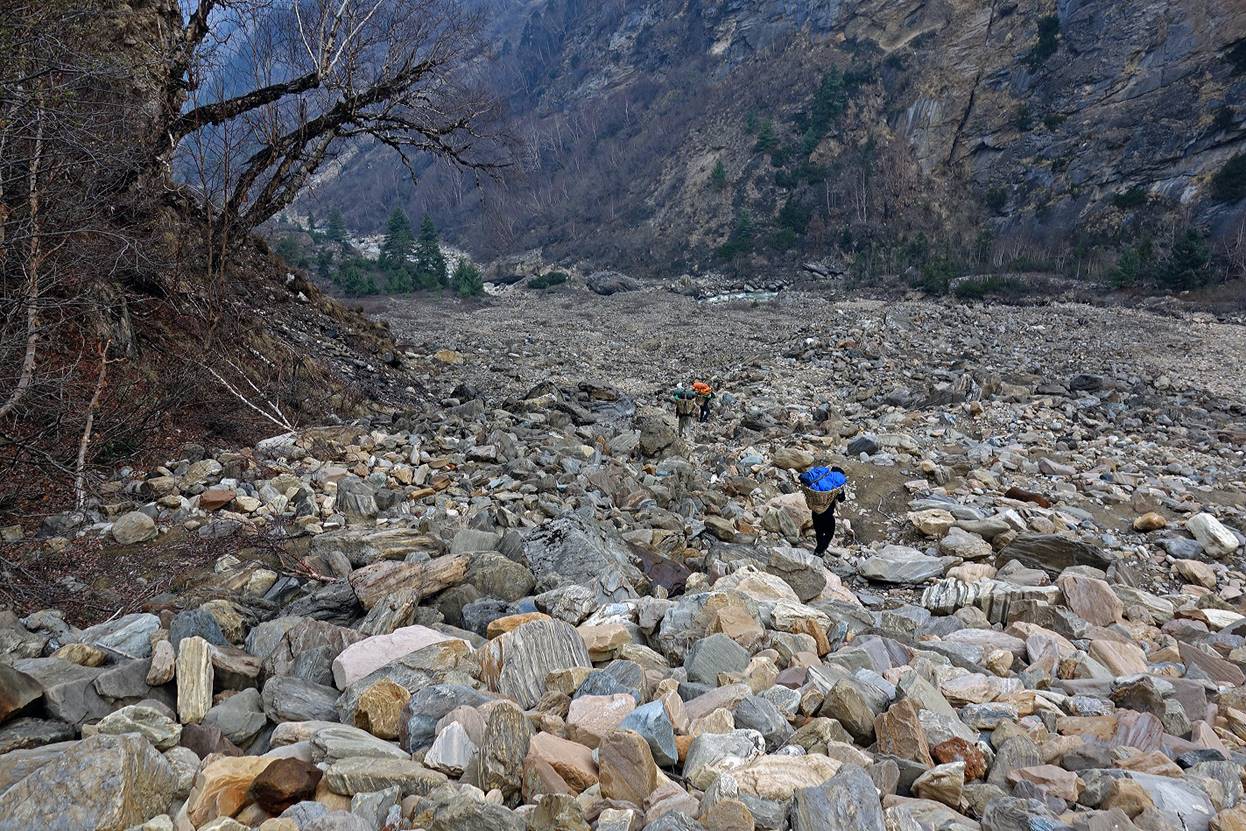
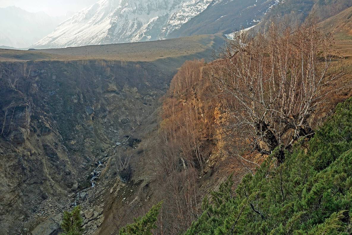
Typical terrain in the lower part of the valley. The trail was non-existent due to numerous former landslides and avalanches.
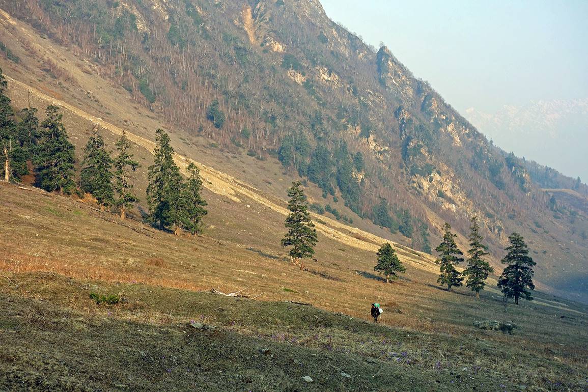
Higher up in the valley, we hiked up onto a flat area on the southern side of the valley that is used as a pasture during the summer months. The air was heavily loaded with smoke.


|
|
|
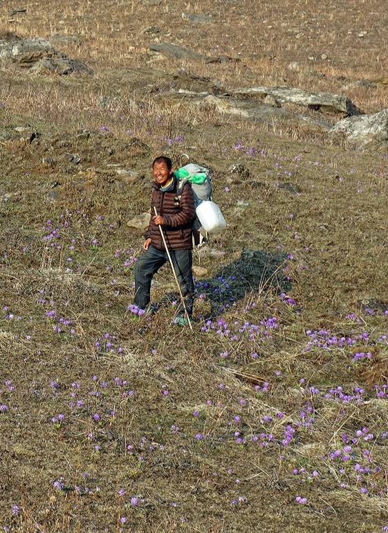
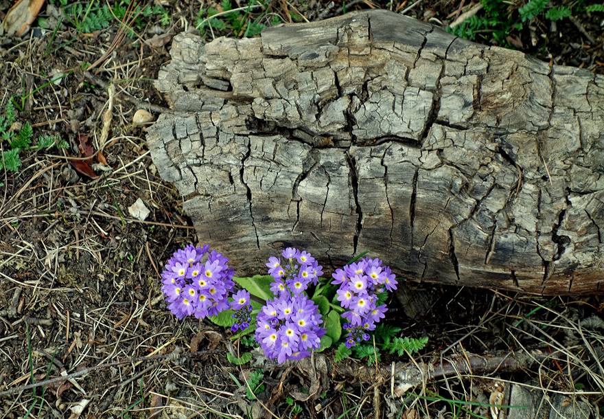
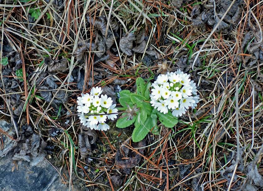
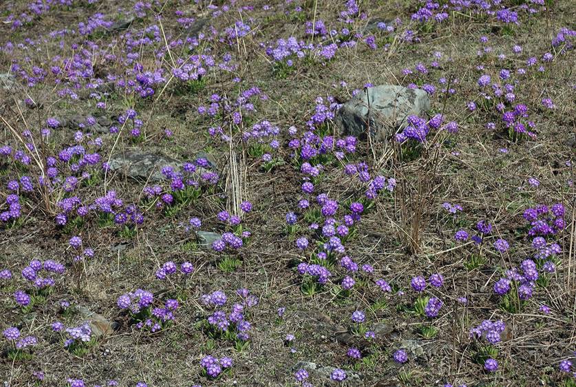
The area was covered with a huge number of these flowers (mostly purple ones).
|
|
|
|
|
|

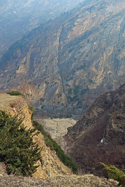
Looking back (toward the west) at the Nampa valley. The first photo below clearly shows the canyon of Nampa Khola and on its left (south) the flat terrain on which we have hiked.
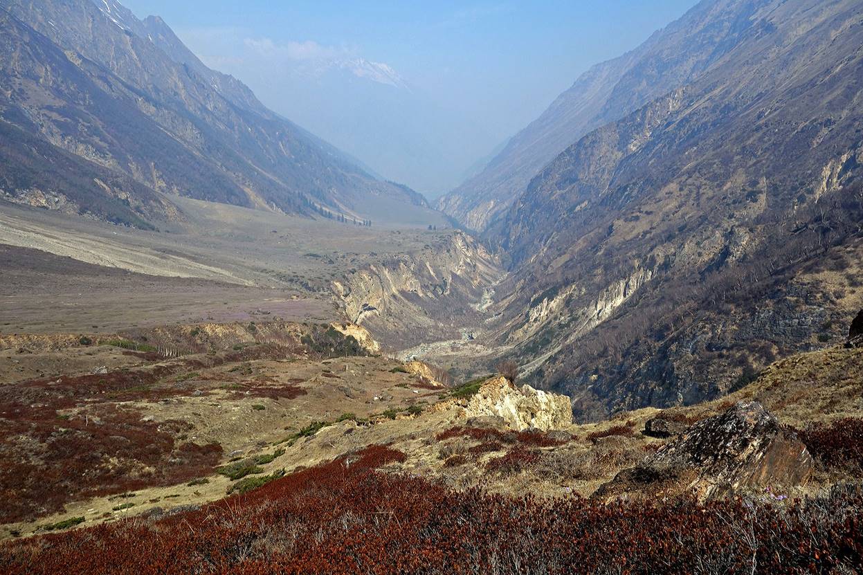

However, the flat terrain was frequently cut by deep and steep side canyons that slow down our progress.
|
|
|
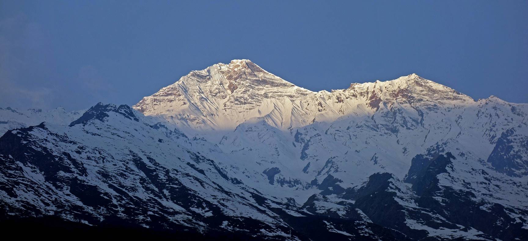
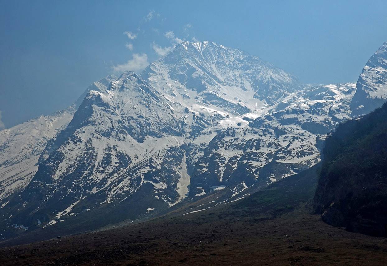
Sunrise over one of the peaks on the southern side of the valley, seen from one of our camps.
Afternoon view over the same peak. Melting snow was acting as a mirror reflecting sun light.
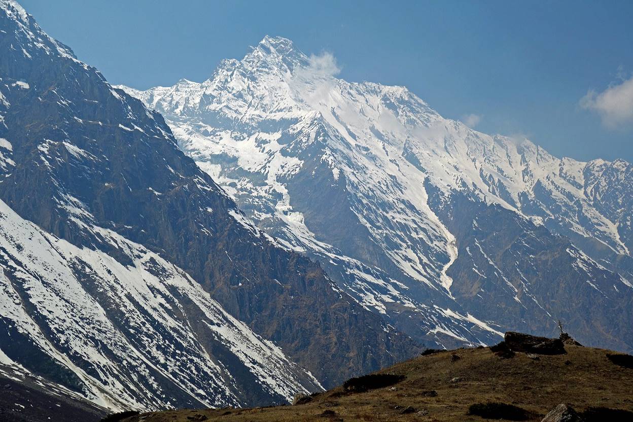
Another peak slightly north of the previous one, shot again in the morning (first photo) and in the afternoon (second photo).
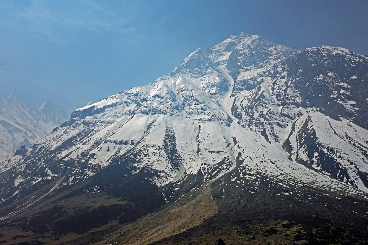
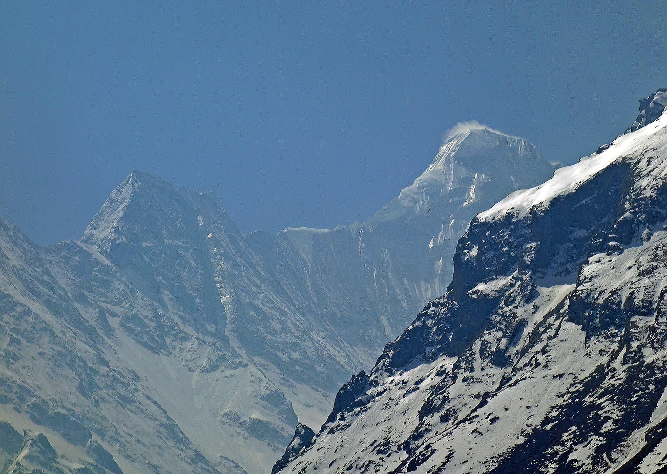
Peaks further up in the valley.
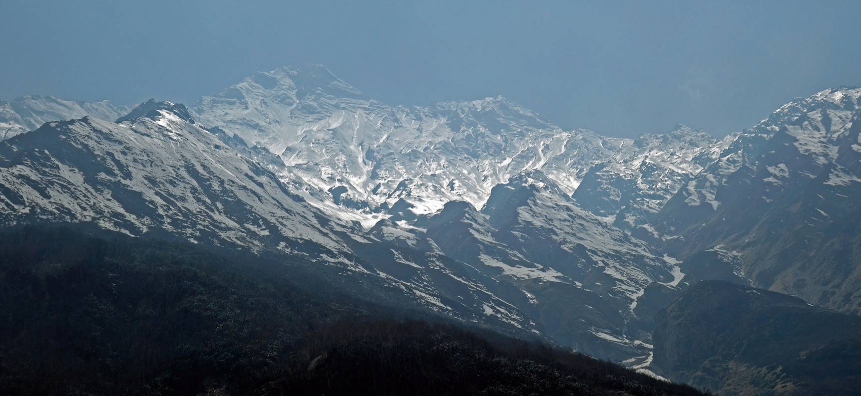
Views of the valley descending from Api Himal (visible on the right sides of the photos).

![]()