Panama (March 2018): Across the Cordillera Central from Boquete to Caribbean Coast: Day 1
![]()
Return to main Cordillera trekking page | Return to main Panama 2018 page
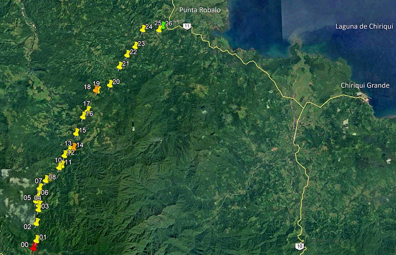
[Reminder: Click here to access the GPS-recorded waypoints in Google Earth.]
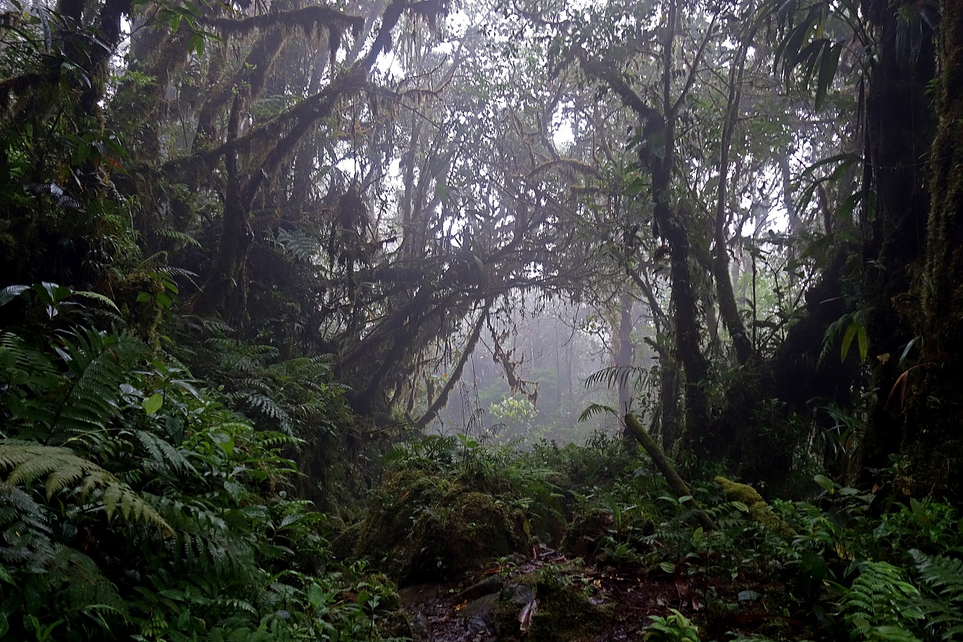
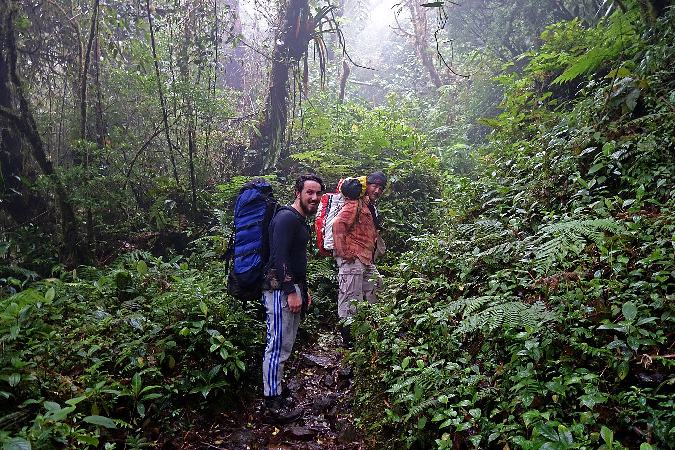
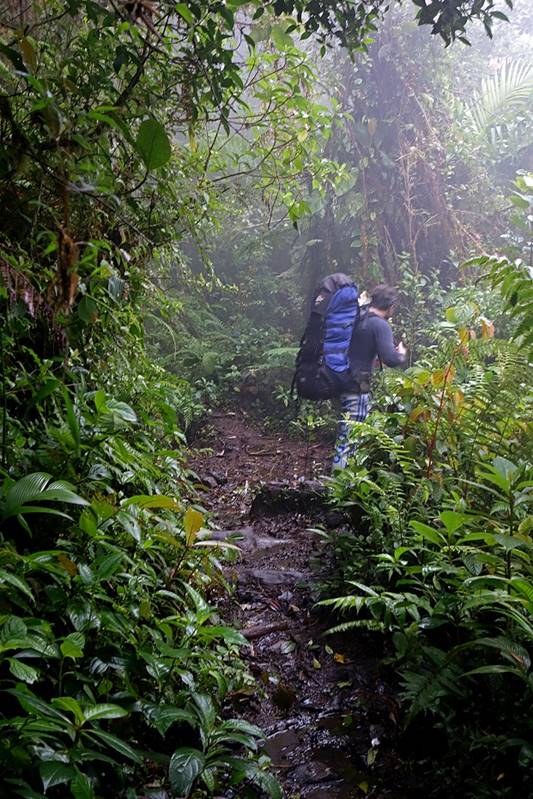
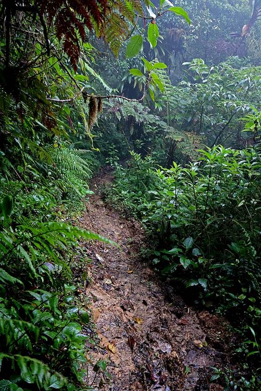
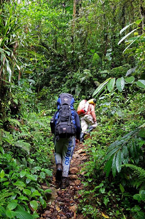
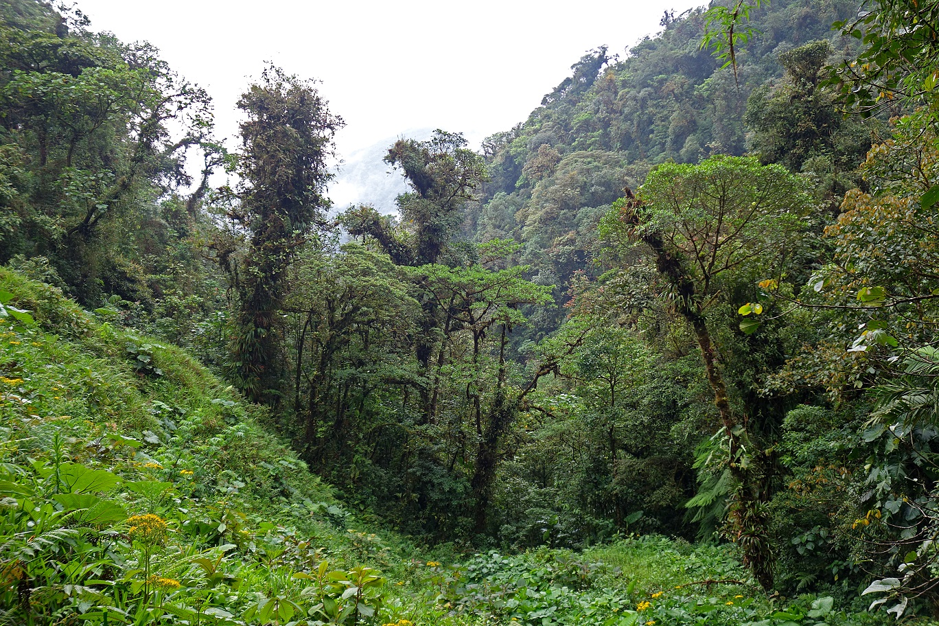
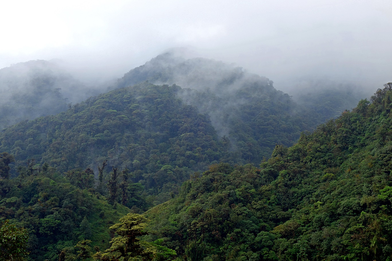
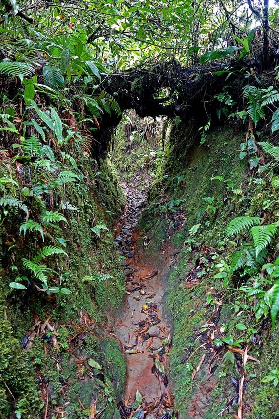
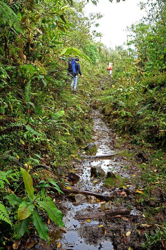
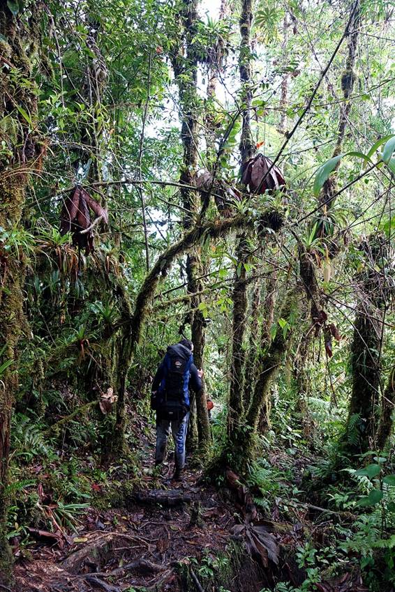
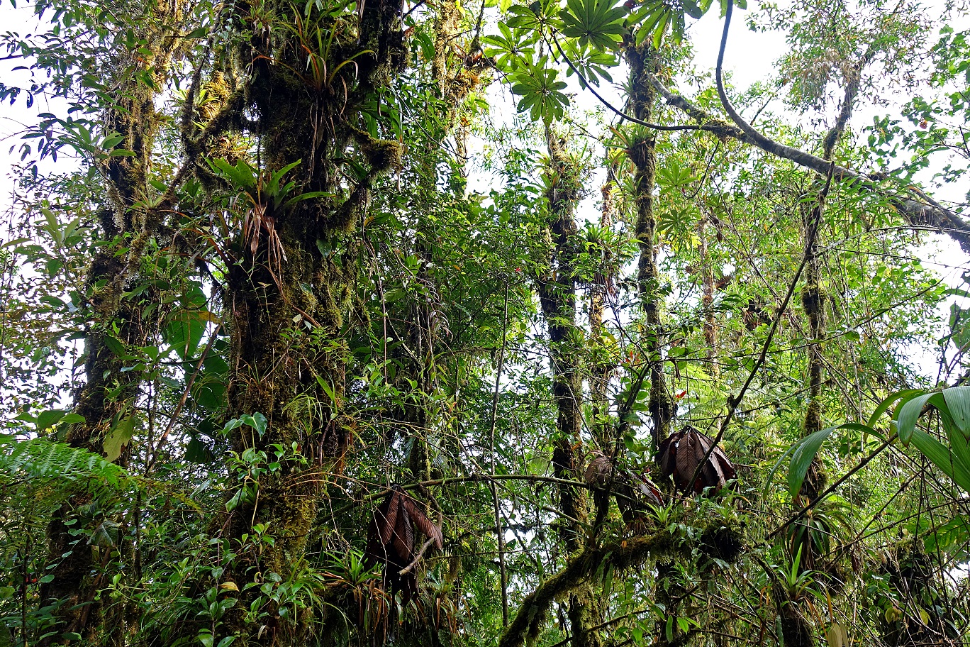
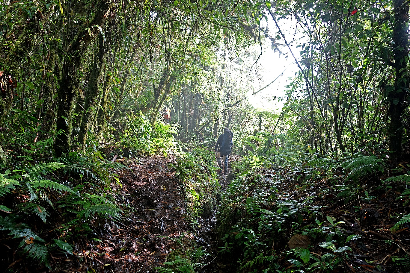
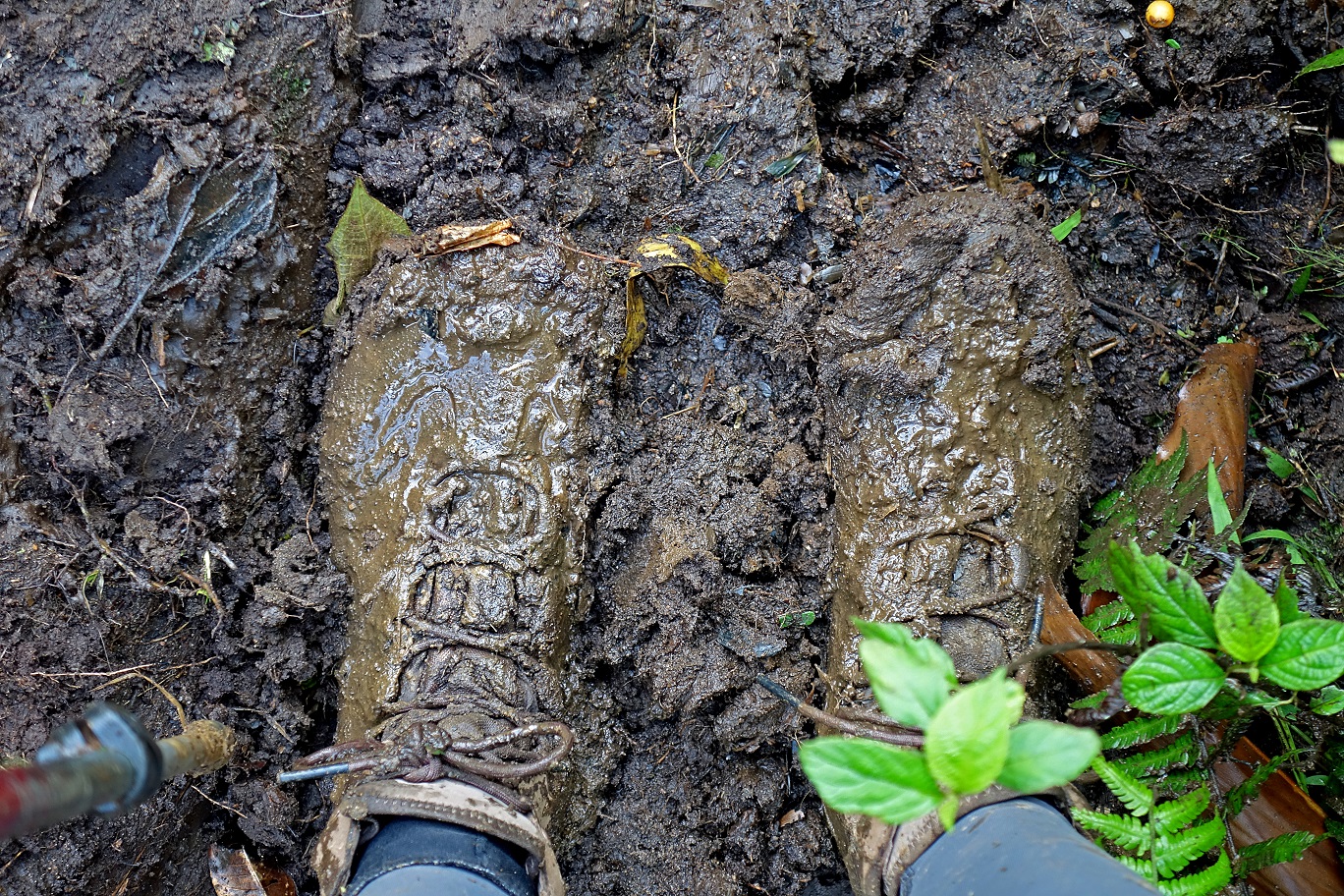
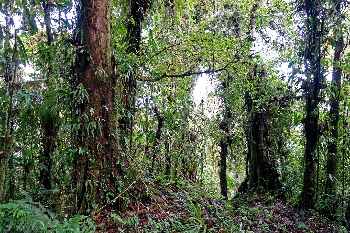
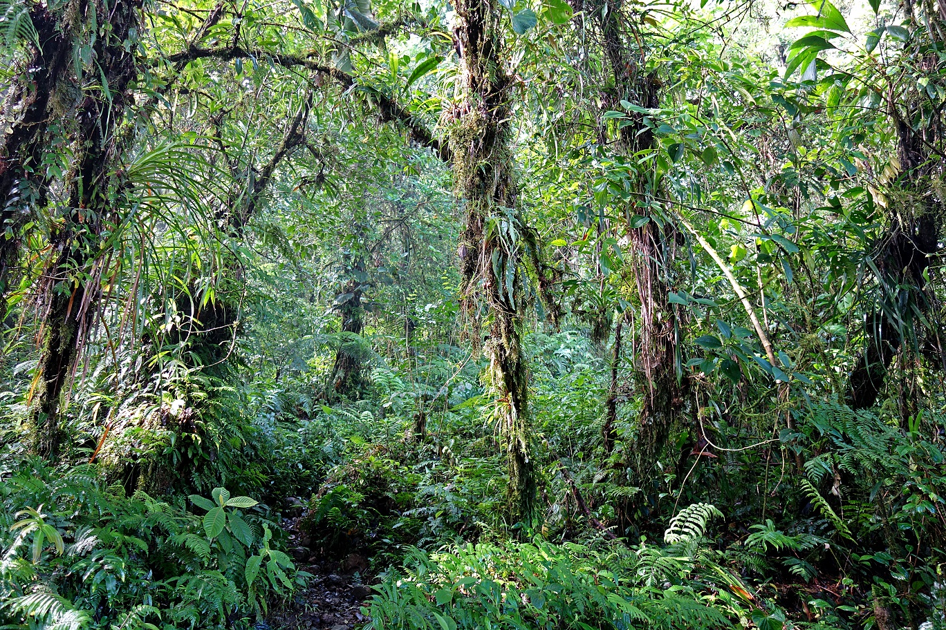
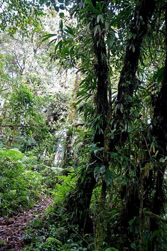
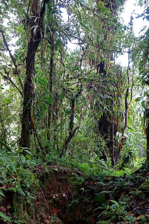
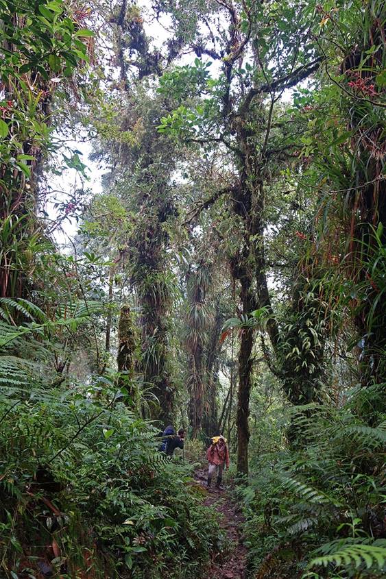
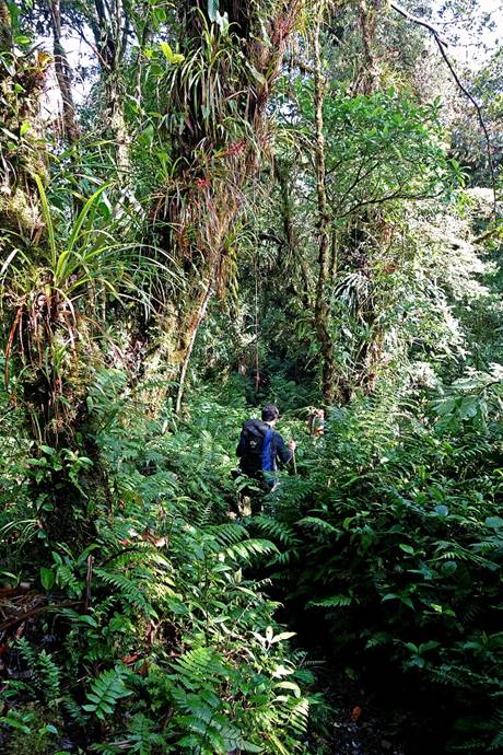
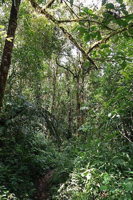
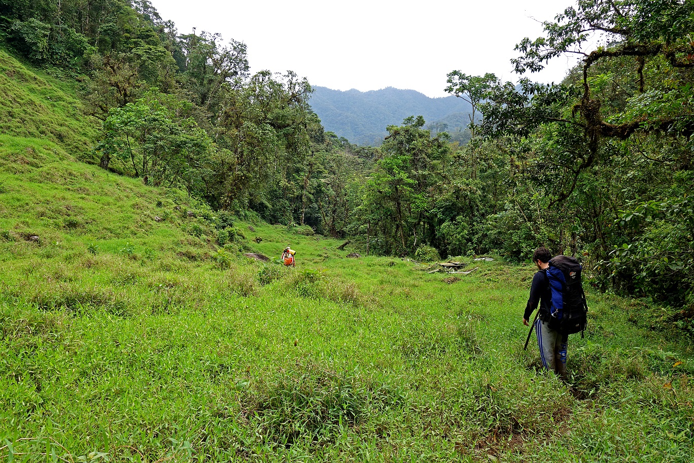
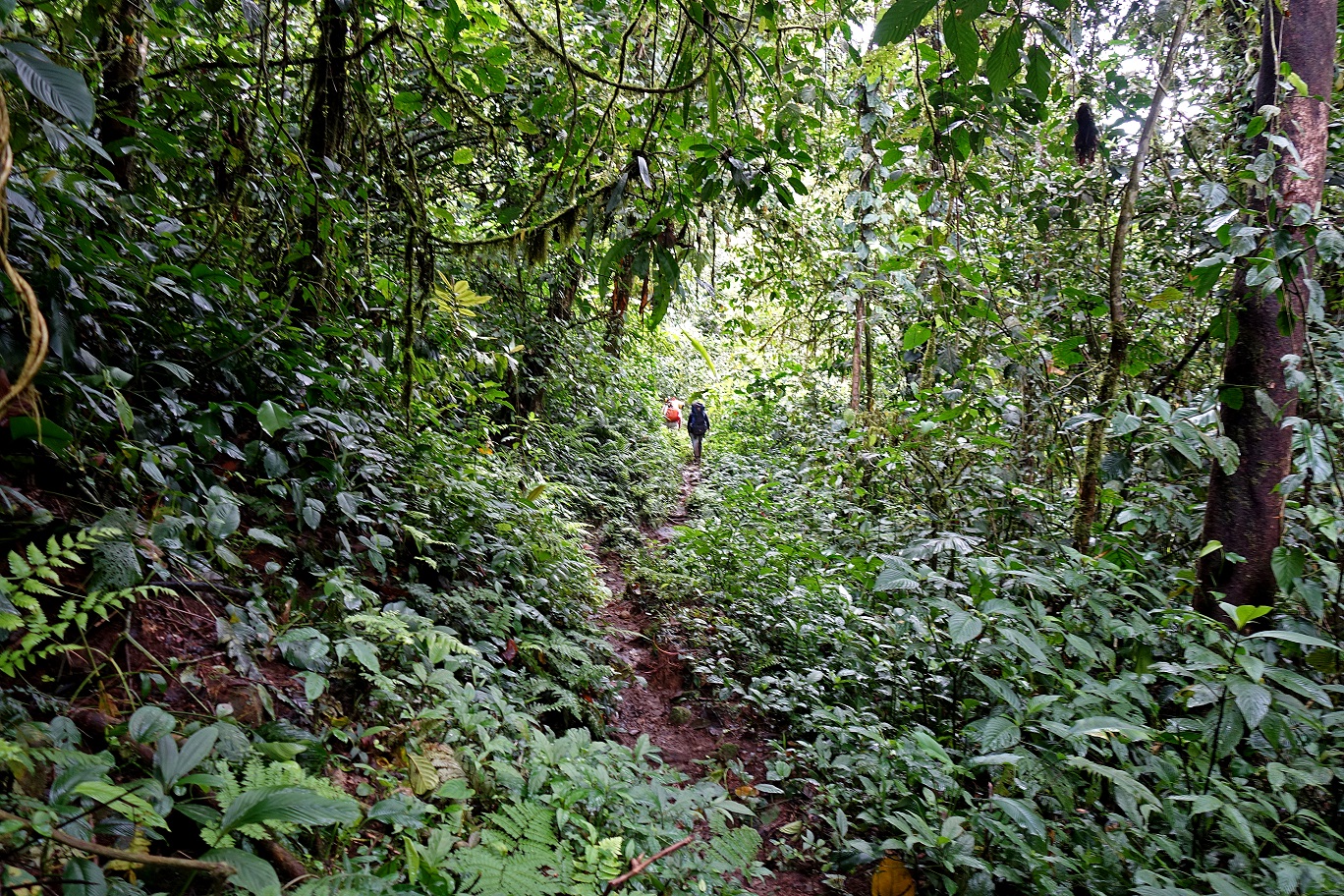
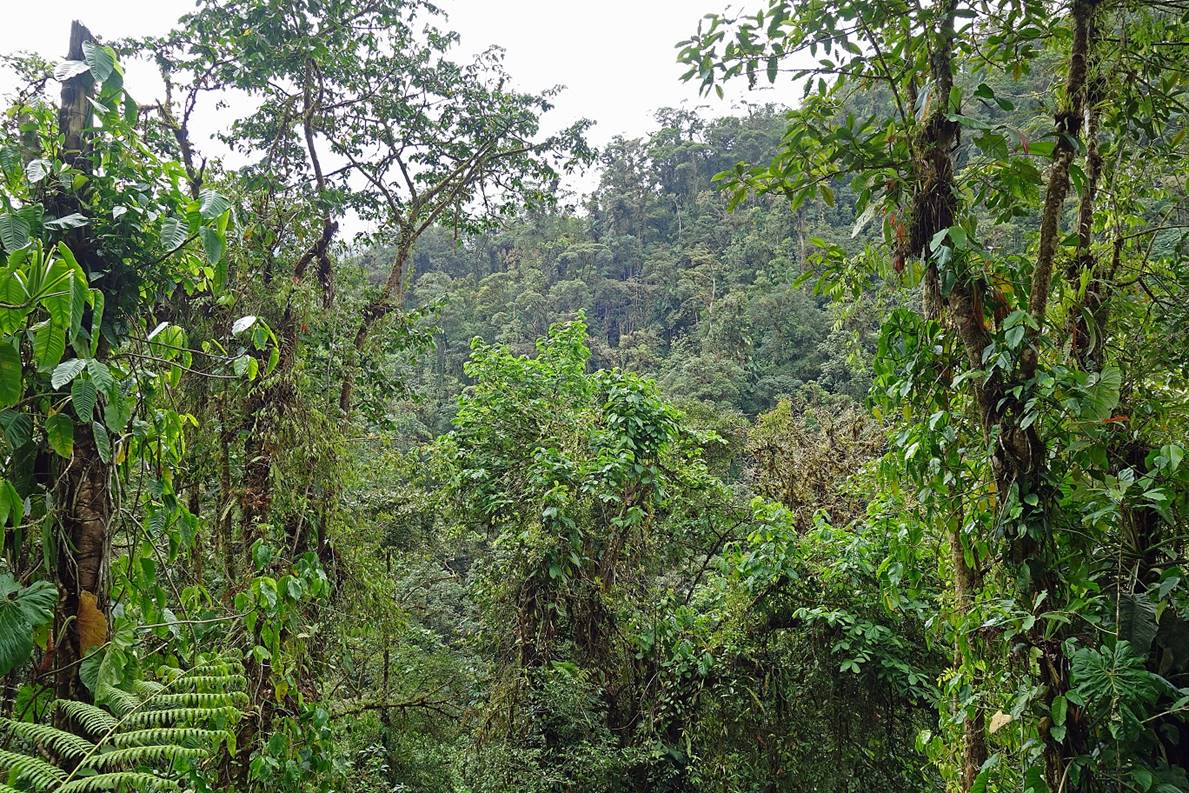
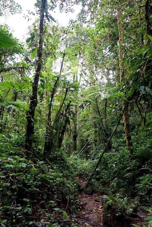
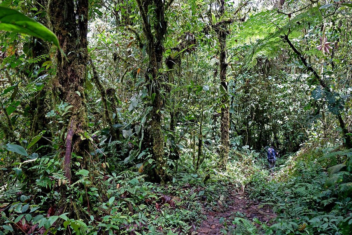
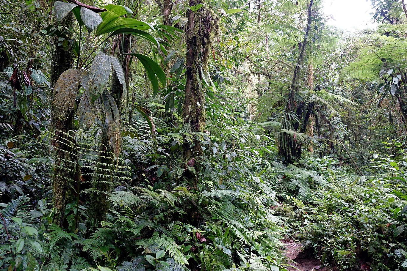
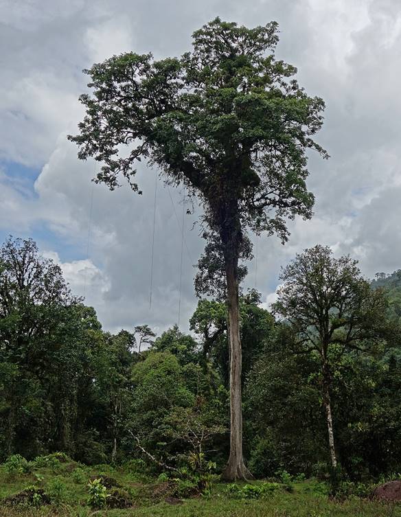
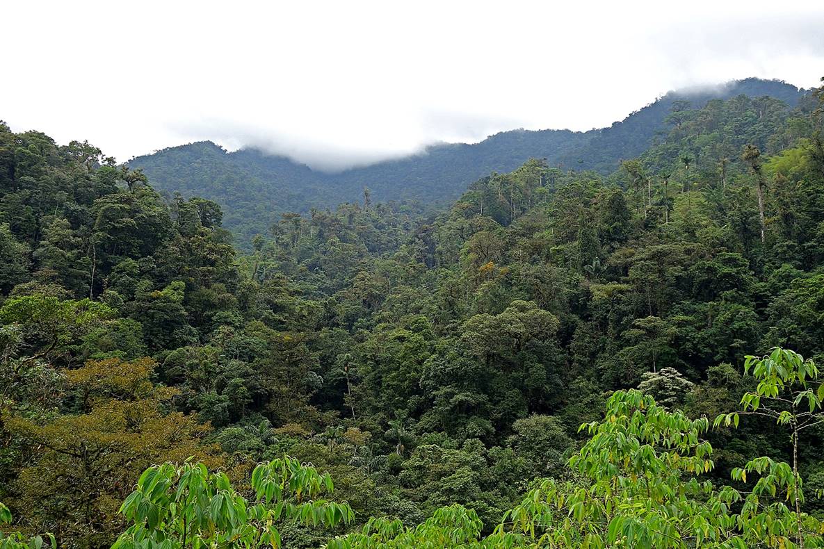
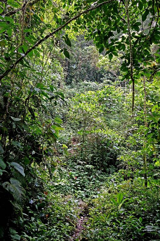
On this first day we started hiking at 5am. For more than an hour we walked with our headlamps. When some sunlight came out (around 6:30am) we were already in the deep forest on muddy terrain.
|
|
|
|
|
|
|
|
|
|
|
|
|
|
|
|
|
|
|
|
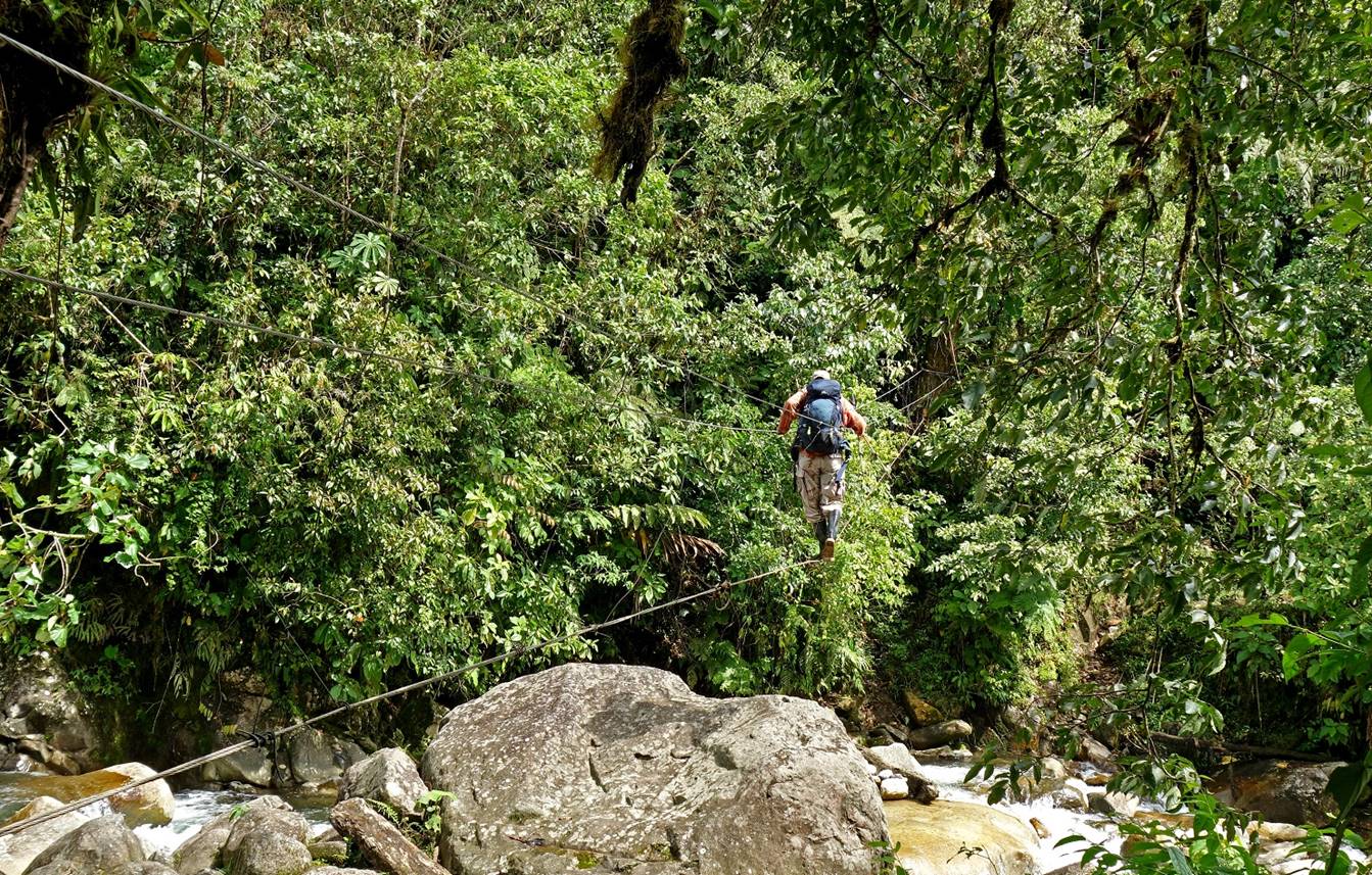
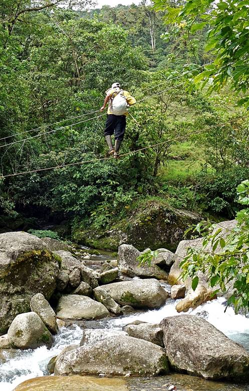
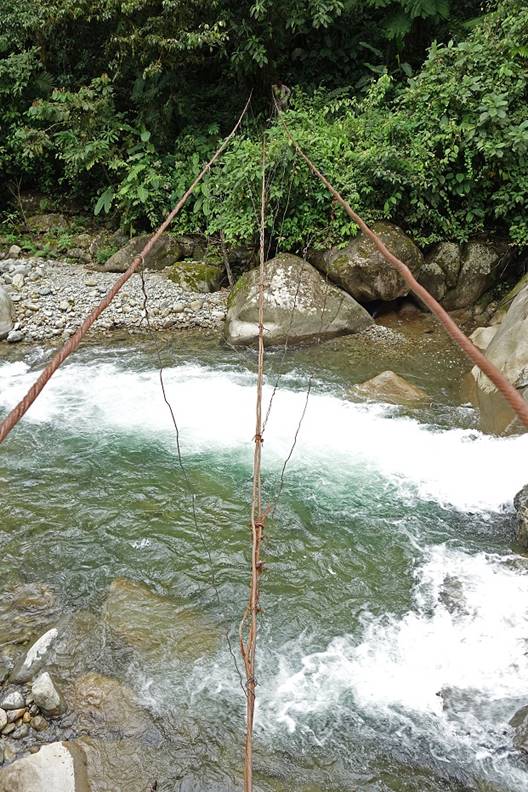
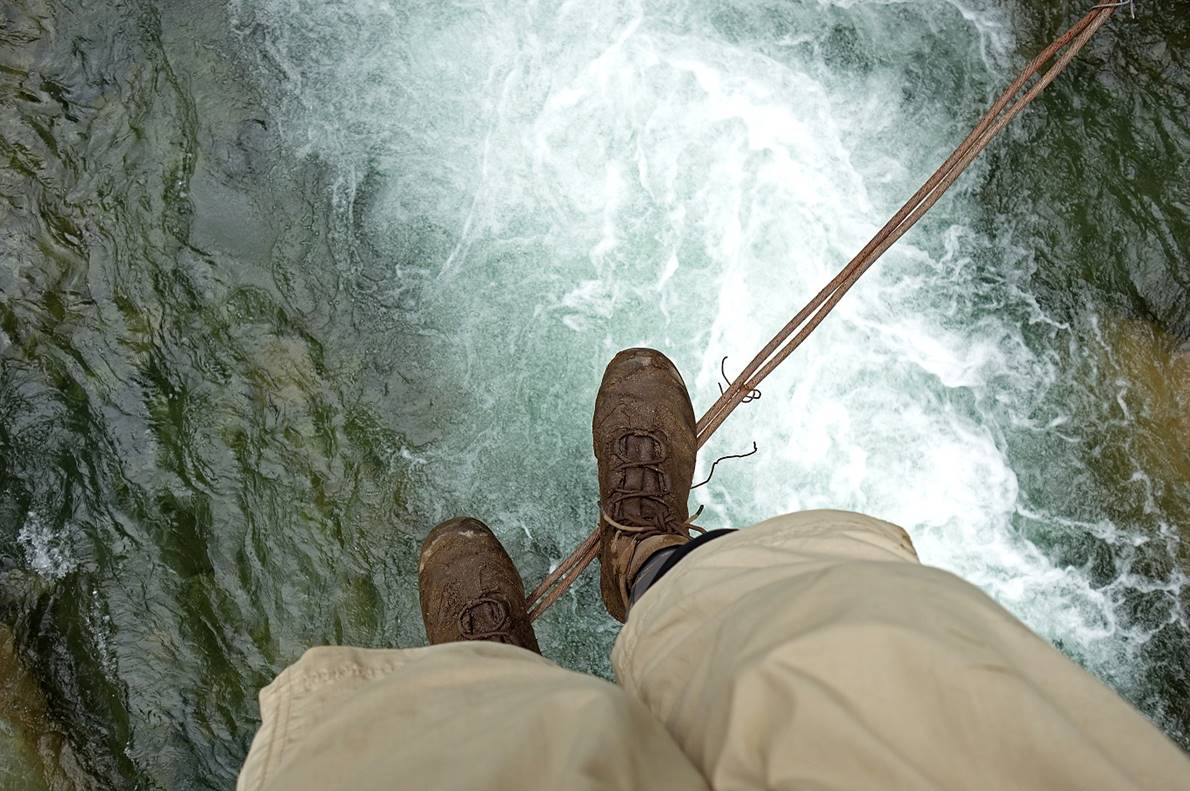
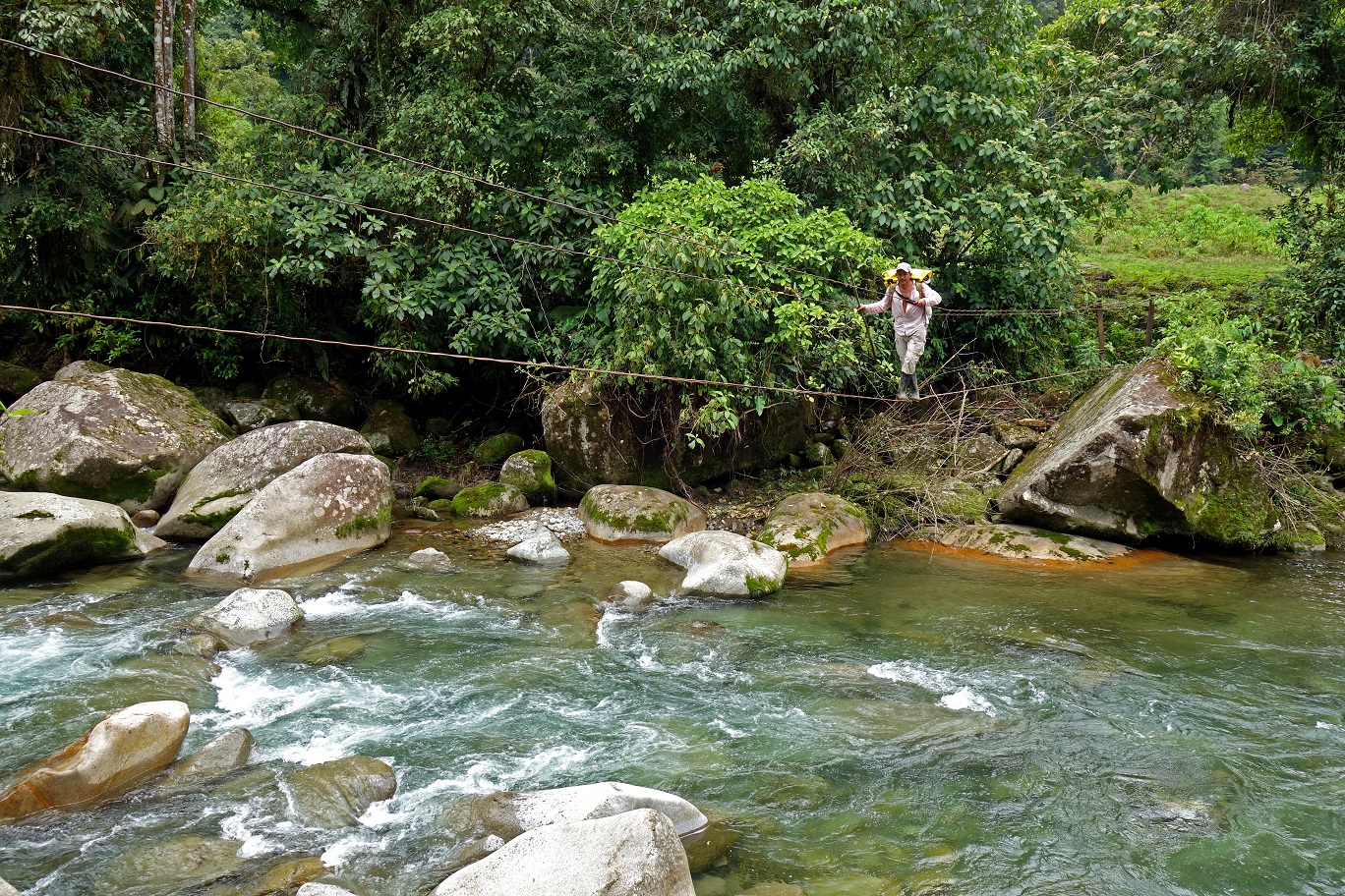
Is this a bridge? Only 3 cables!
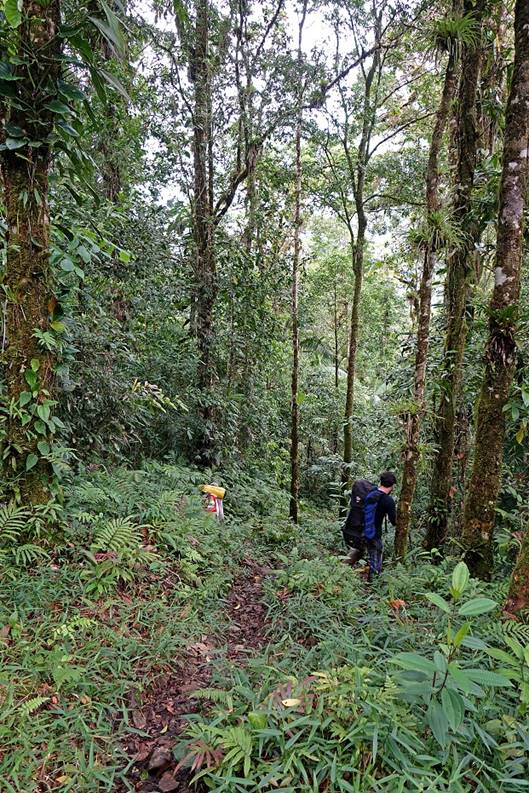
On the left, a Ngobe-Bugle man who was traveling alone in the opposite direction.
|
|
|
|
|
|
|
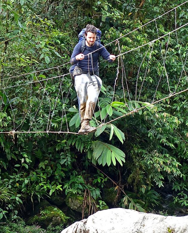
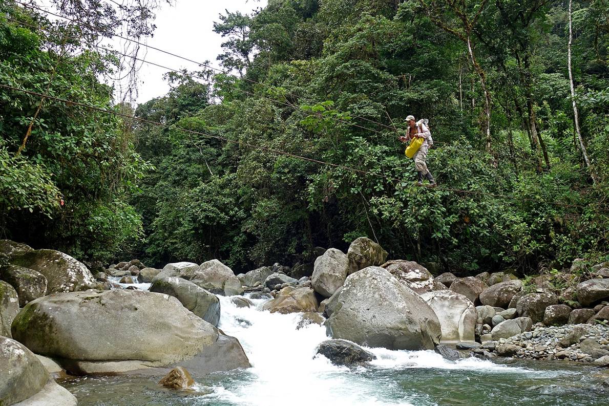
Crossing the second ″bridge″ of the day.
|
|
|
|
|
|
|
|
|
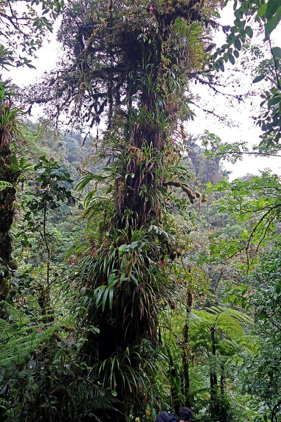
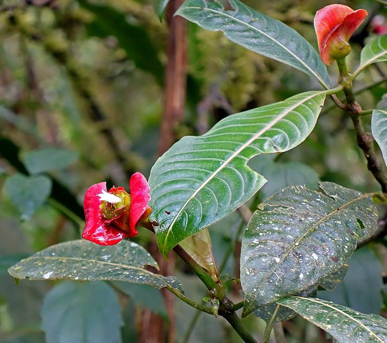
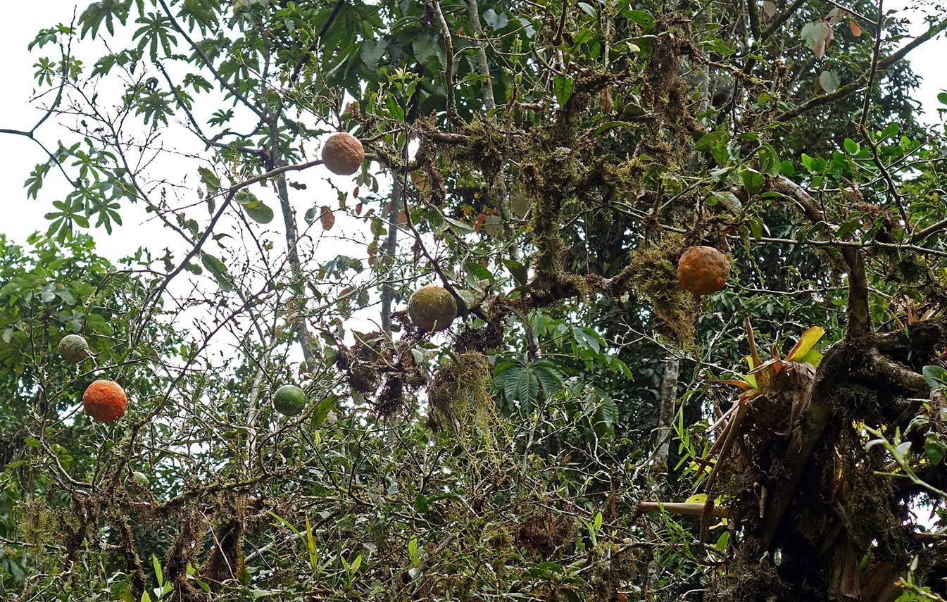
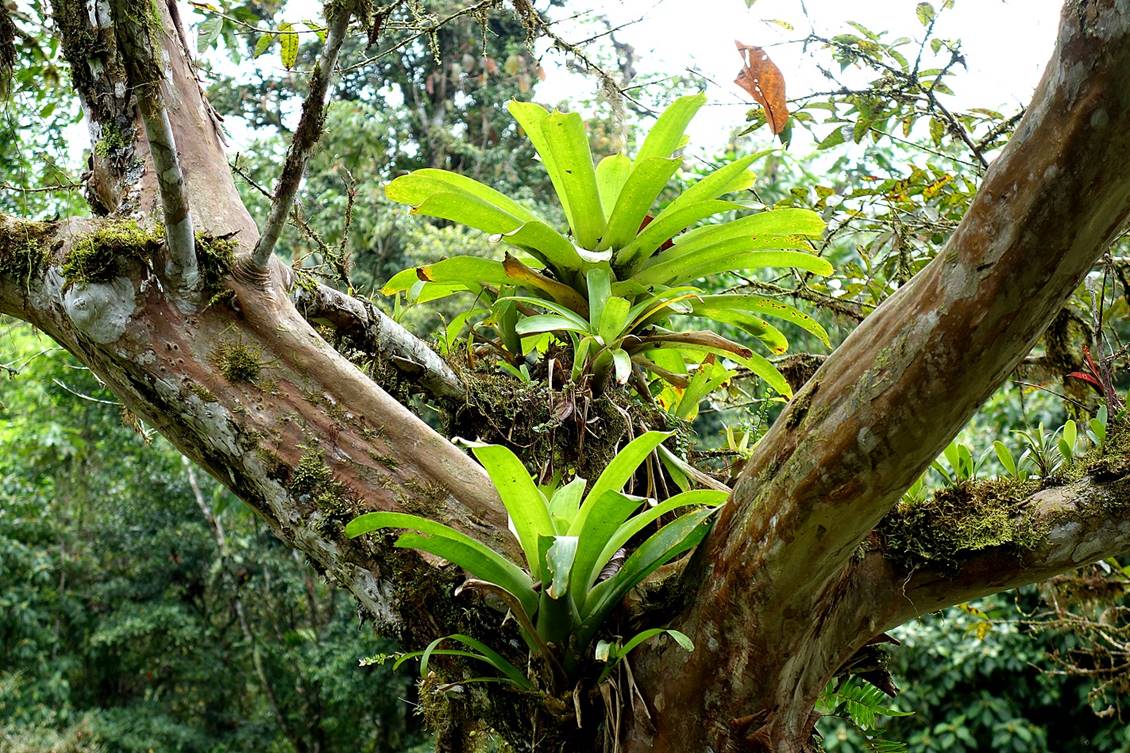
A citrus tree covered by moss and orchids.
|
|
|
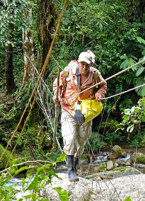
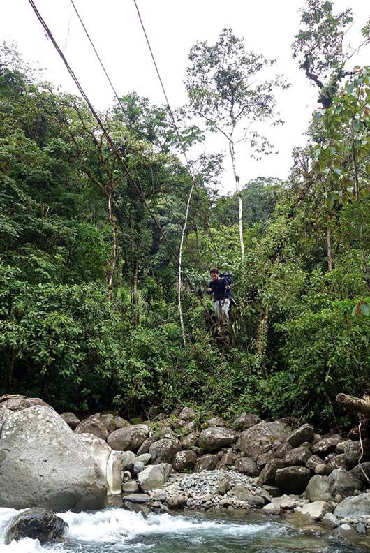
Third and last ″bridge″ of the day.
|
|
|
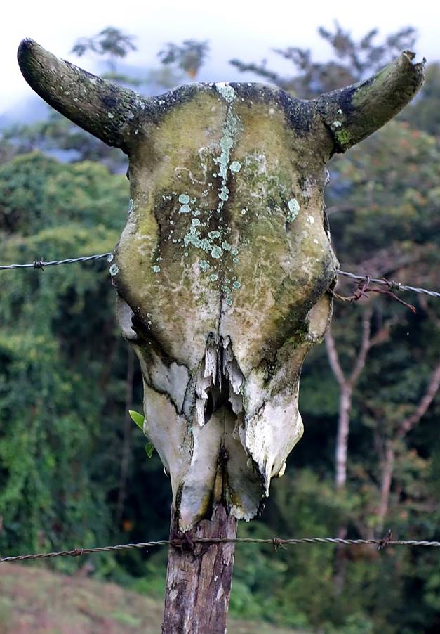
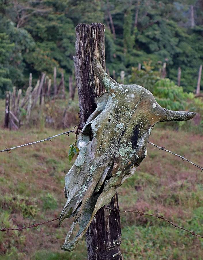
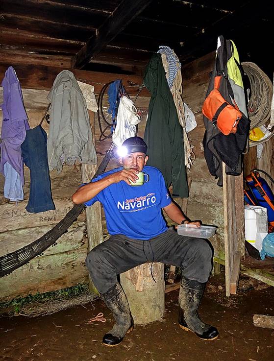
After more than 10 hours on the muddy trail, including almost 9 of actual hiking, we finally reached the small ″finca″ of Lauriano (waypoint 14), where he owns a bunch of cows. This is when I realized that he had been carrying 15kg of salt in his bag, as cows do need salt to maintain appetite and body weight. Skulls of cows posted around the small house welcome the visitors.
|
|
|
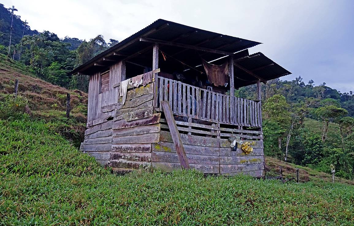
We spent a dry, comfortable night in this cozy ″refuge″.
|
|
|
![]()
Return to main Cordillera trekking page | Return to main Panama 2018 page