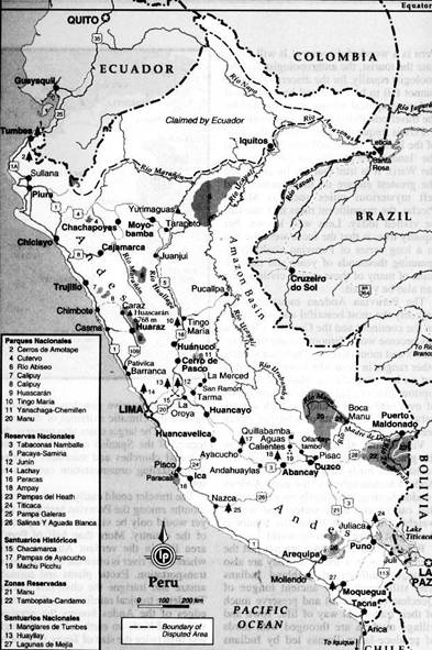
Peru (July-August 1996): Alpamayo and
Huascaran
![]()
In July-August 1996 I traveled to the
Cordillera Blanca of Peru to climb Alpamayo (with
Mark Houston) and Huascaran (with Kathy Cosley). (Link to Mark and Kathy′s
website.)
|
|
|
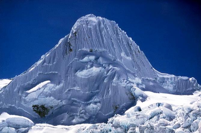
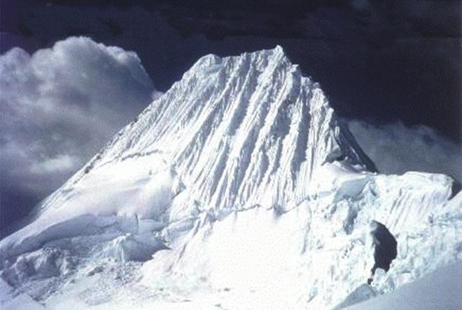
Alpamayo (5947m):
Topographic map of Alpamayo area.
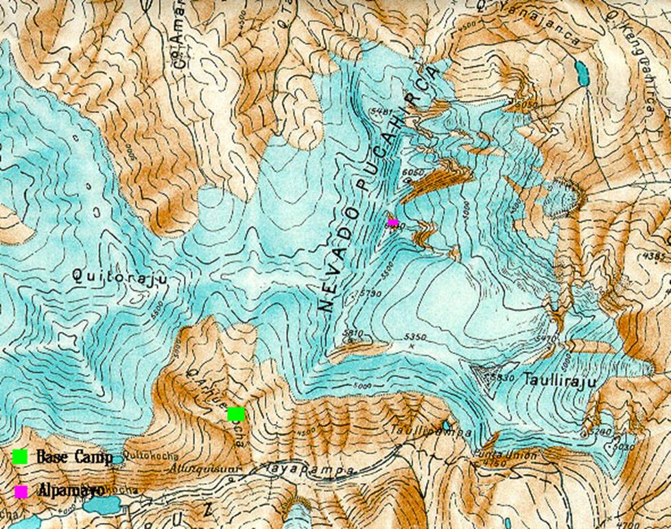
Approach of Alpamayo
from the South.
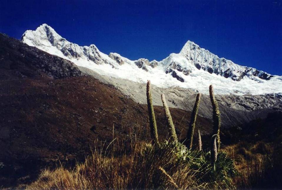
Views of Alpamayo.
|
|
|
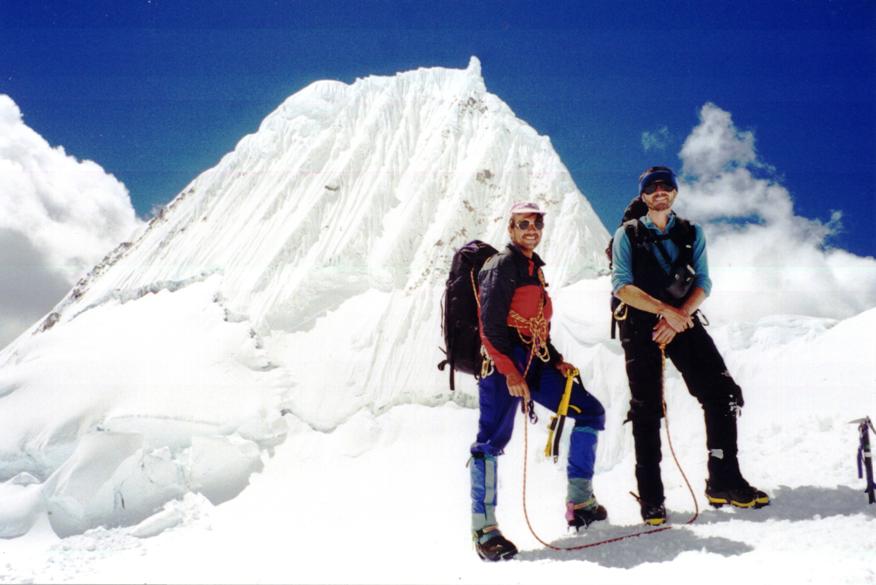
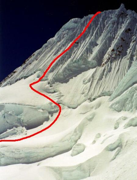
Left: With Mark in front of Alpamayo. Right:
The Ferrari route (red line) goes to the left of the rock in the middle of the
face.
|
|
|
The Ferrari route viewed from the top.
Mark on top of Alpamayo talking to Base Camp.
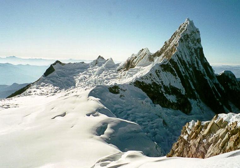
Mt. Taulliraju
(5830m), east of Alpamayo.
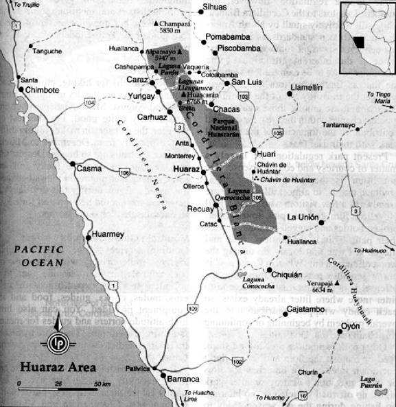
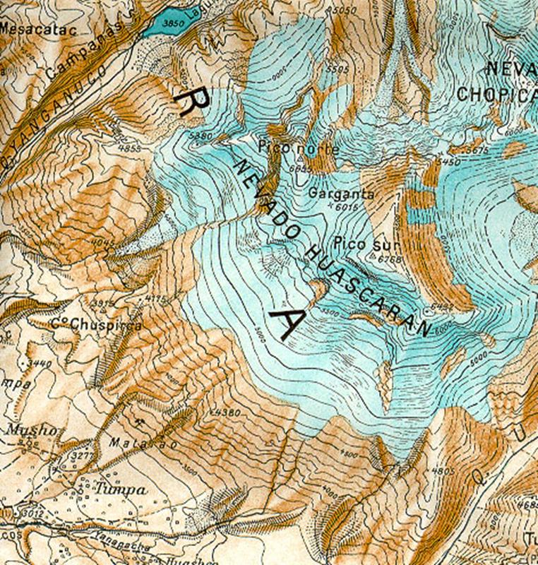
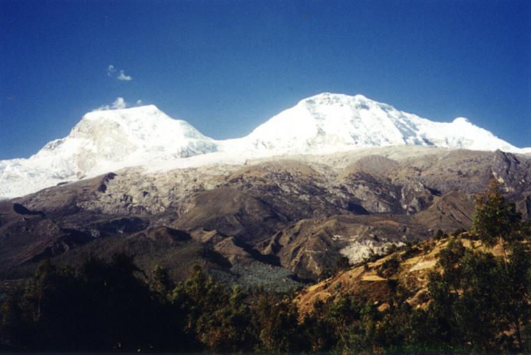
Huascaran (6768m):
Topographic map of
Huascaran area.
View of Huascaran North
(left) and South (right). The
highest summit is Huascaran South. The saddle between the two peaks is called Garganta.
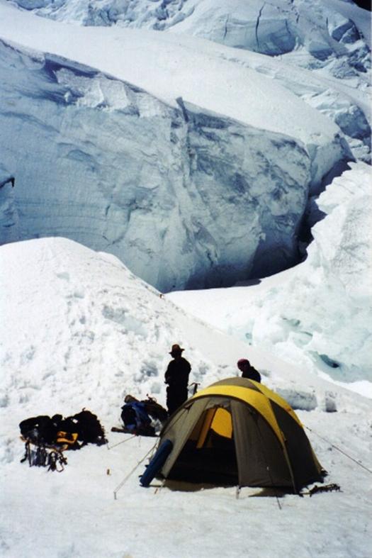
High camp on Huascaran,
just below Garganta.
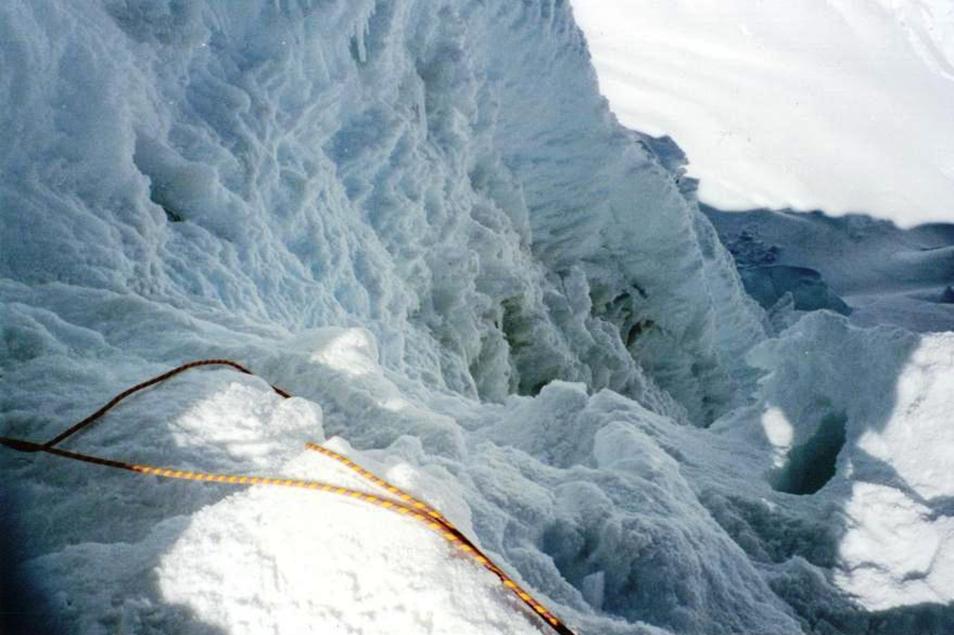
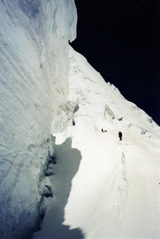
Navigating among seracs above Garganta.
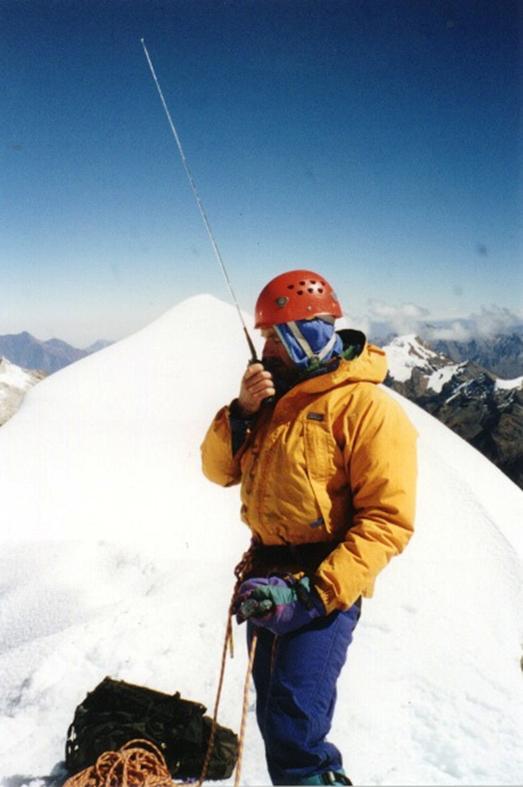
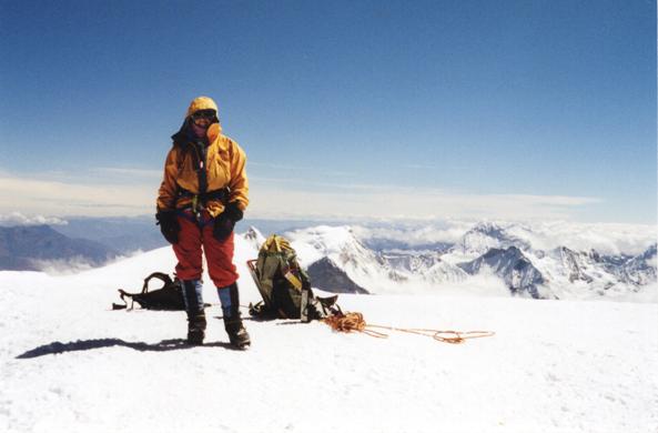
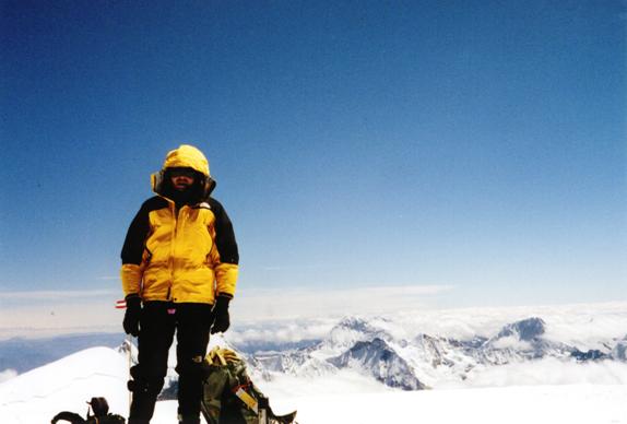
On the cold South
summit with Kathy.
|
|
|
![]()