Peru (1999): Ten-day trek in the Cordillera Vilcanota
![]()
Return to my mountaineering/trekking/travel webpage
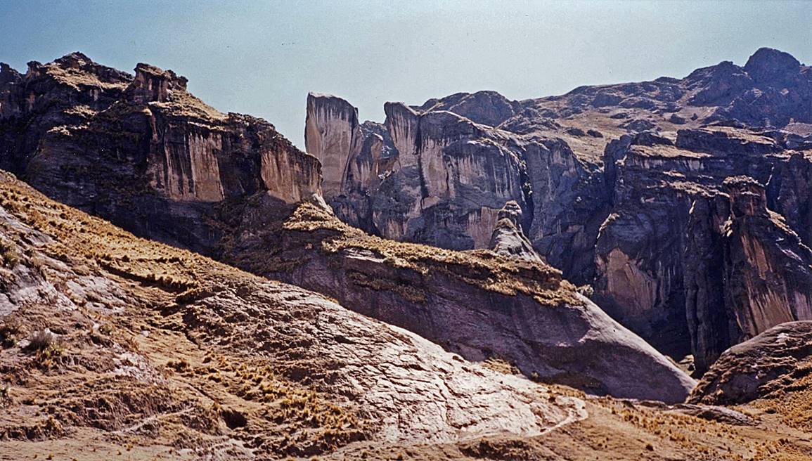
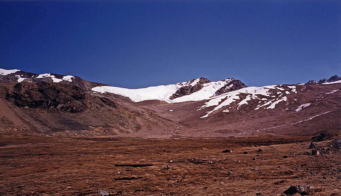
The Cordillera Vilcanota is located south-east
of Cusco. It is the second largest glaciated mountain range in Peru, after the
Cordillera Blanca. It culminates at Nevado Ausangate (6372m).
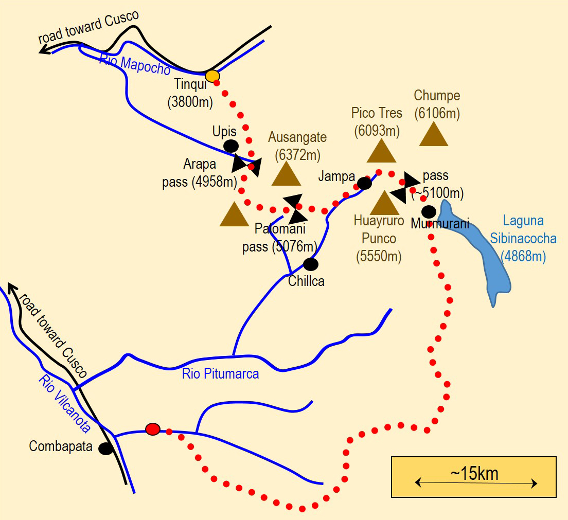
Map sketch, with approximate itinerary drawn in red dots. The trek starts
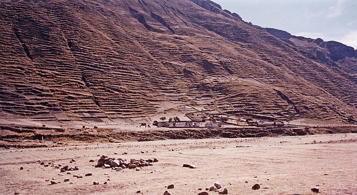
in Chicharanca (~7.5km east of the city of Combapata) and ends in Tinqui,
via the western shore of Laguna Sibinacocha and
passes south of Nevado Ausangate.
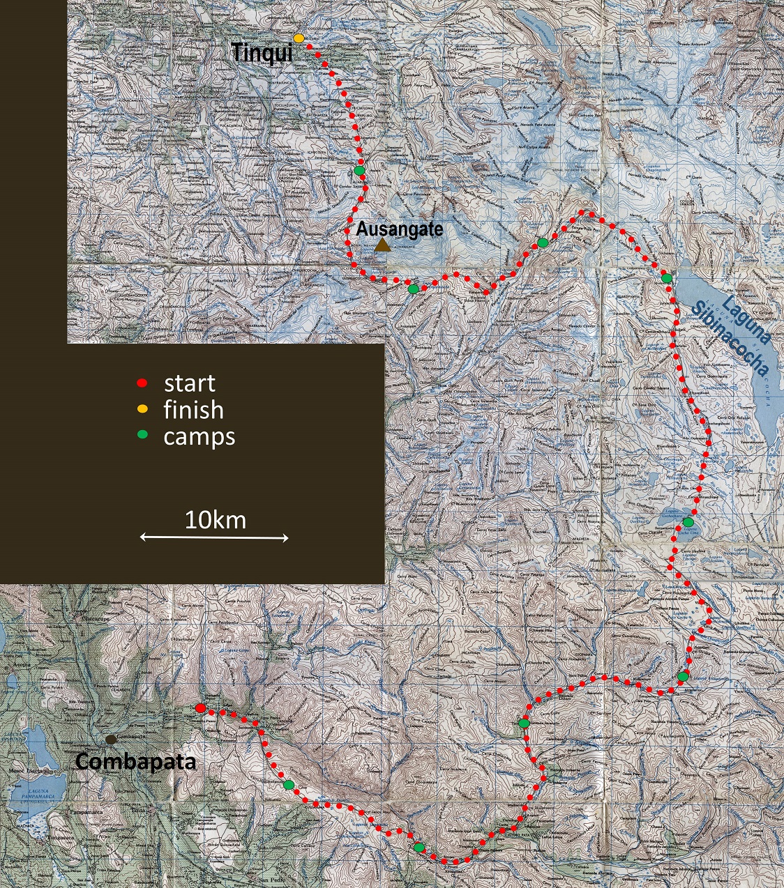
Itinerary in topographic map. (To see
this map at greater resolution, click here.)
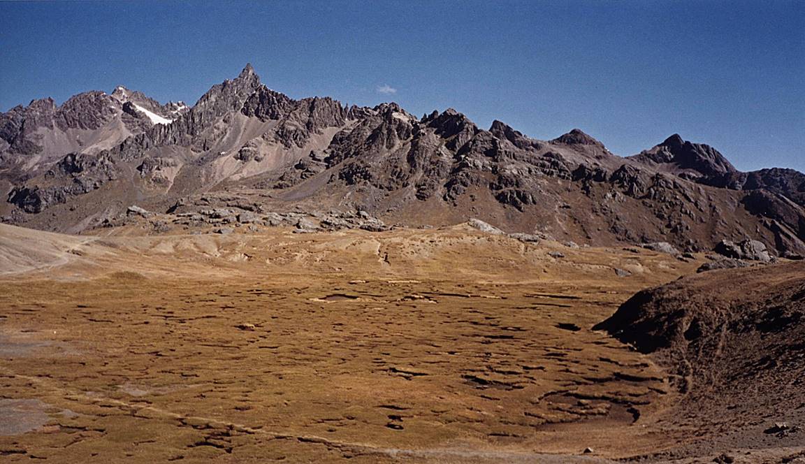
The photos below are in chronological order.
|
|
|
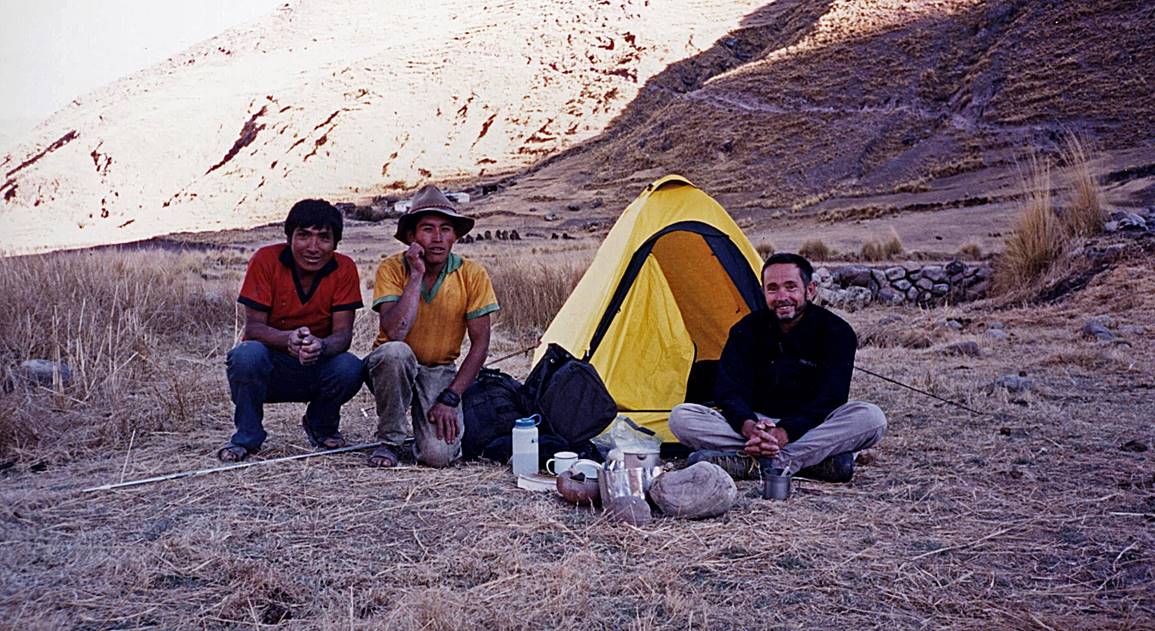
With two friendly locals at my camp #2,
My camp #5 on the shore of Laguna Cochachaca.
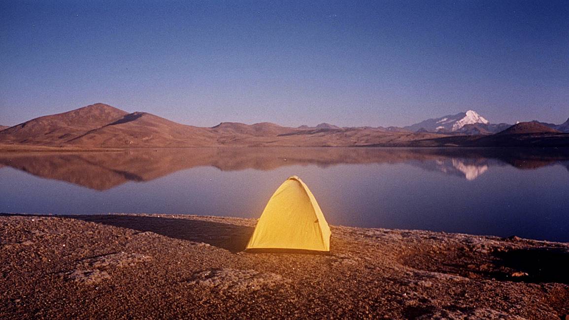
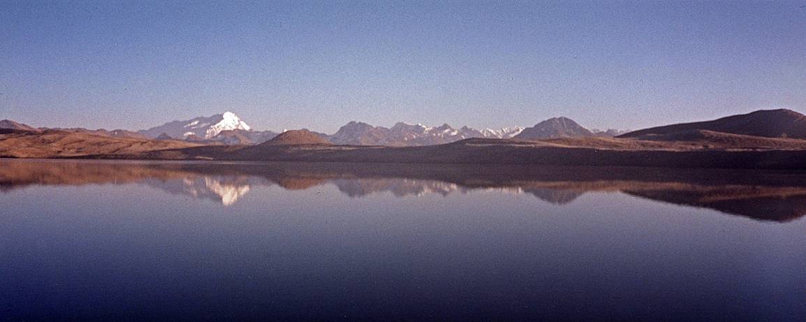
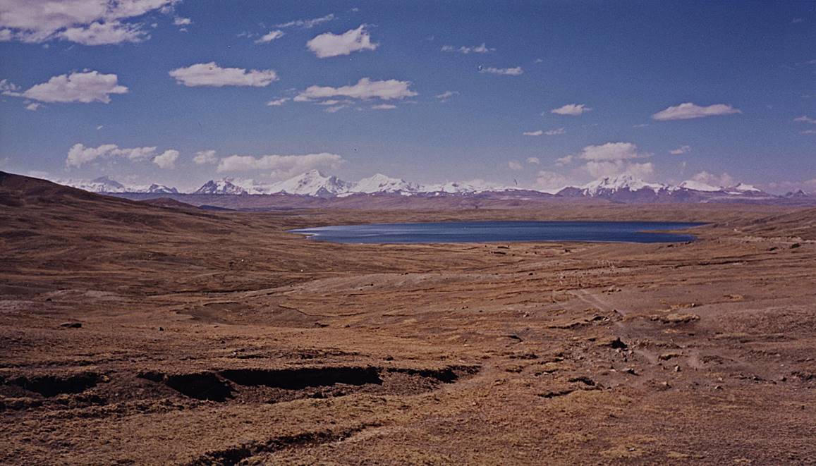
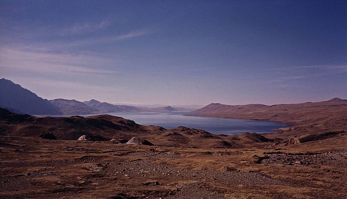
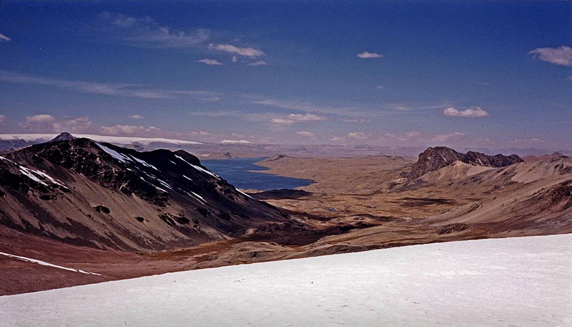
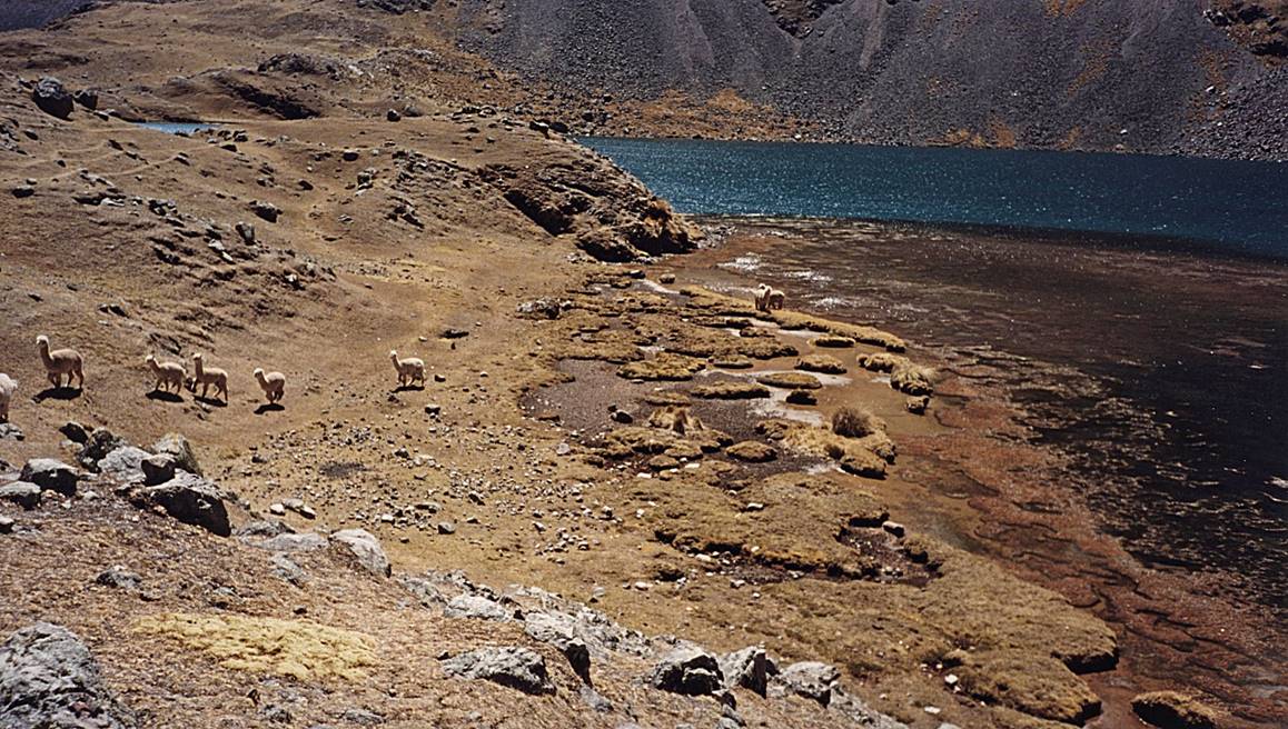
Views of Laguna Sibinacocha.
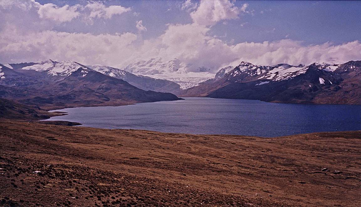
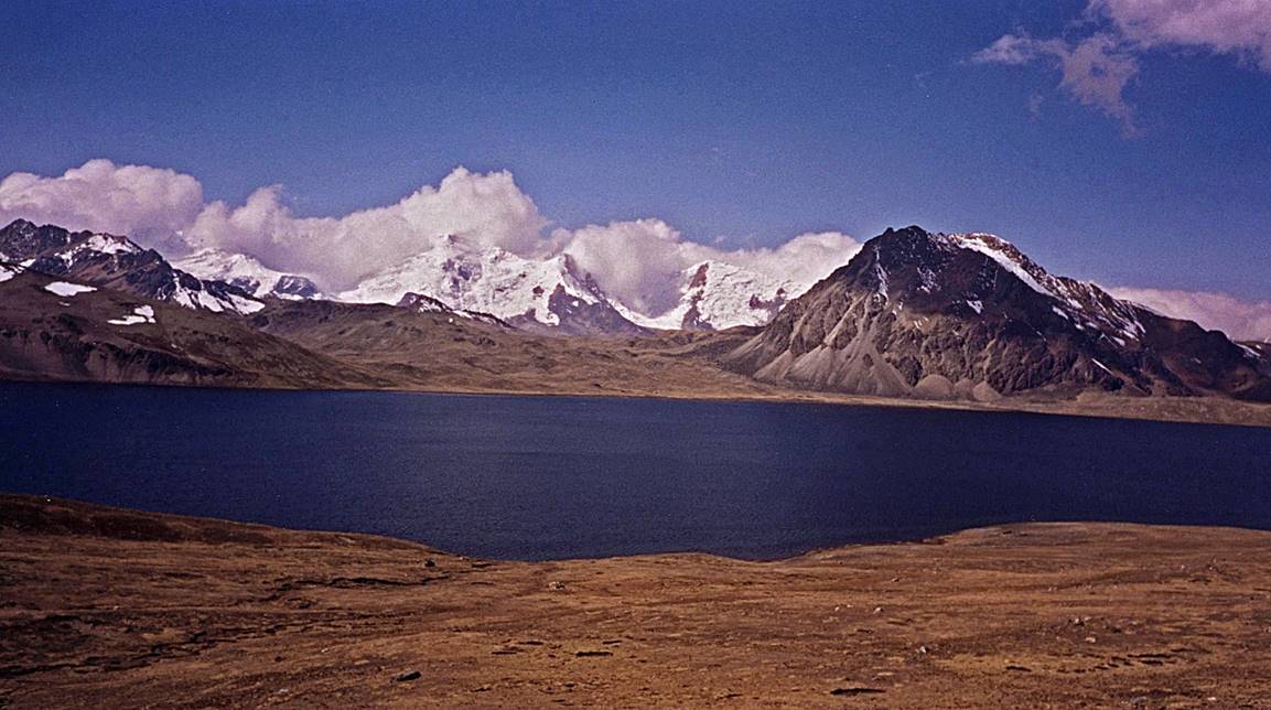
Views of Laguna Sibinacocha from a location
near Murmurani.
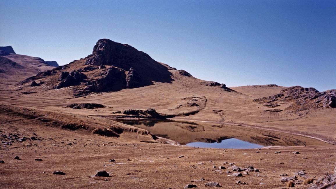
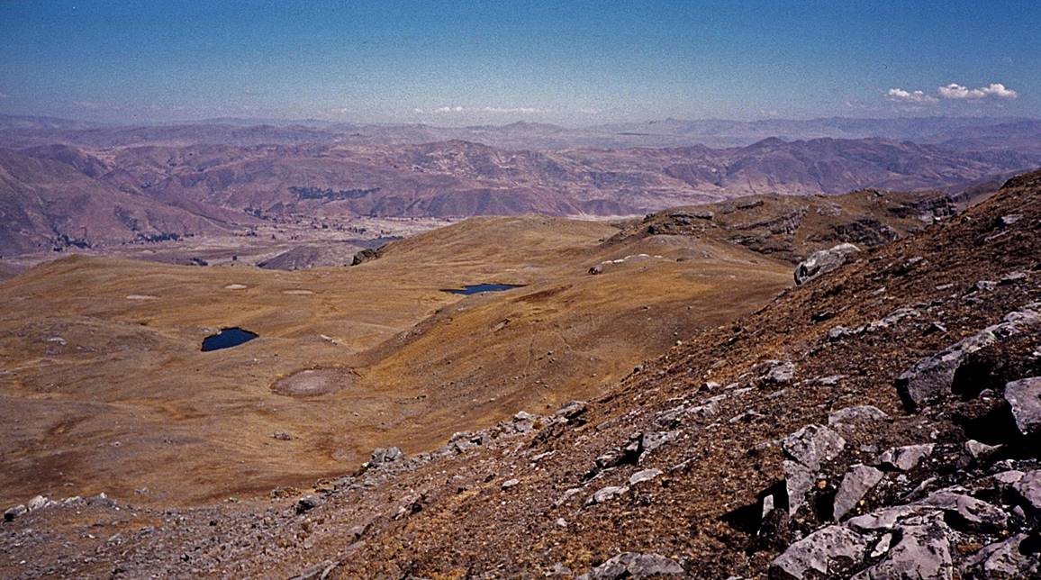
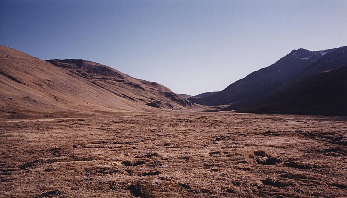
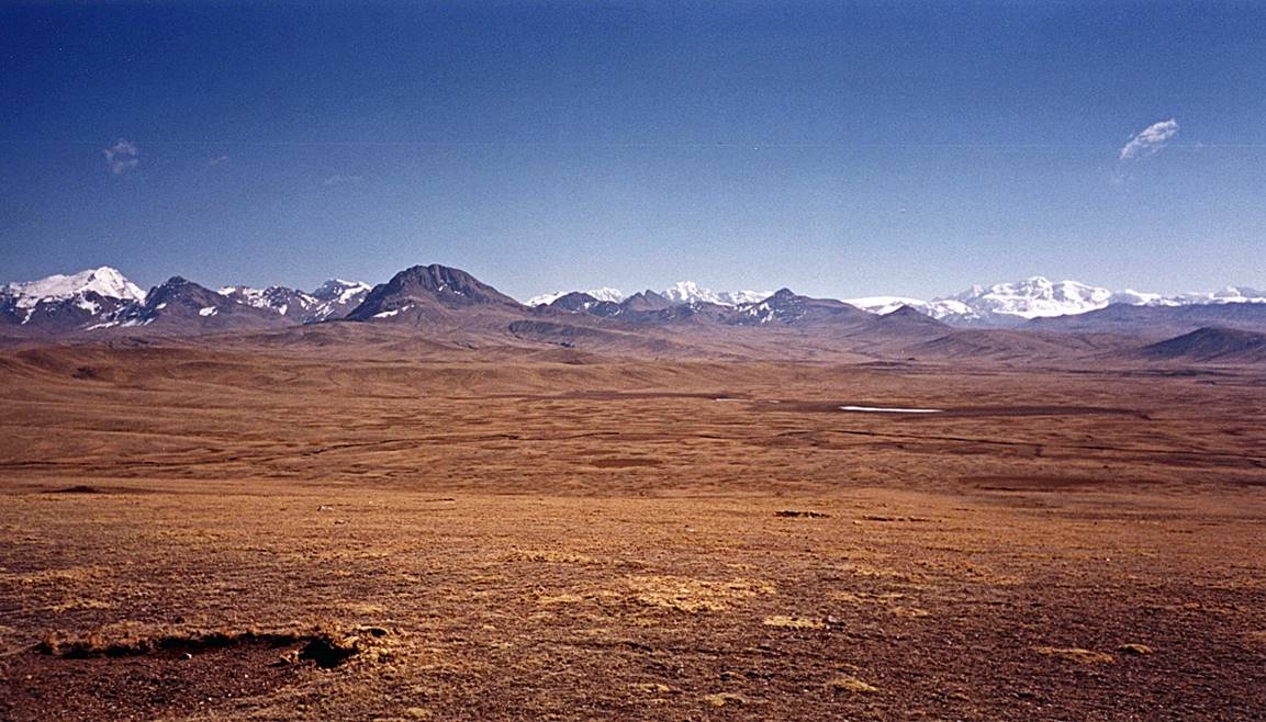
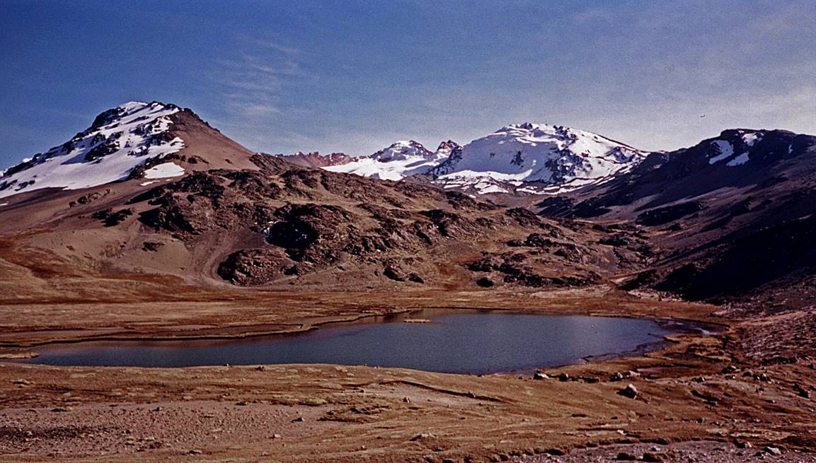
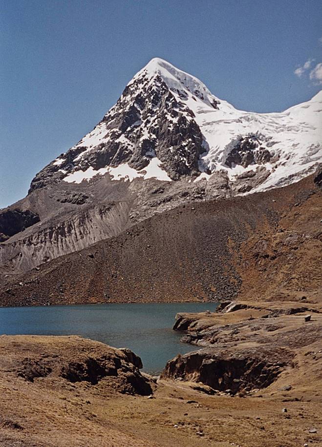
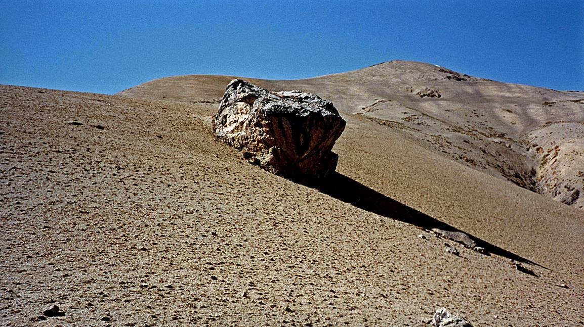
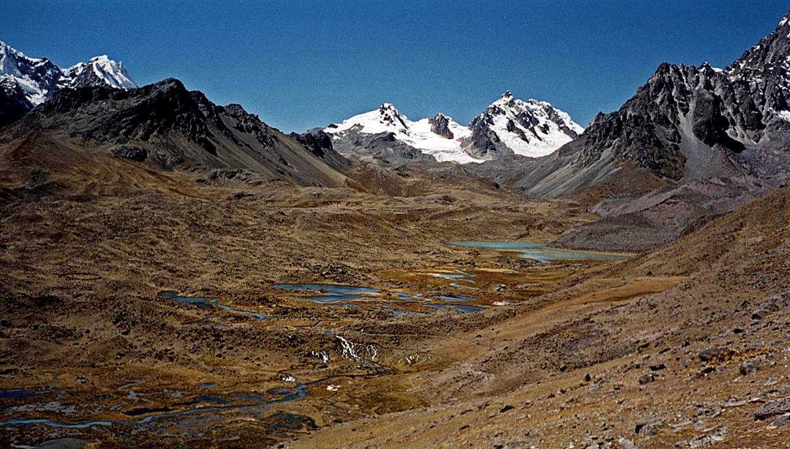
Small lake on the way to the 5100m pass near Huayruro
Punco.
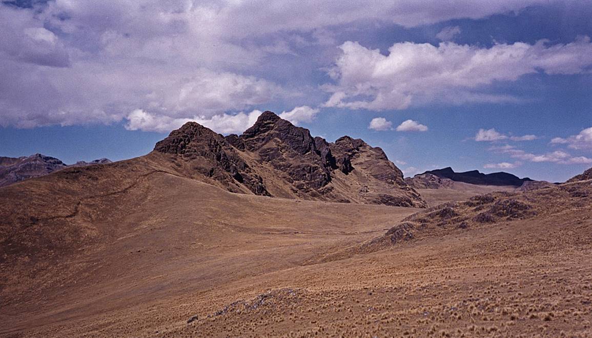
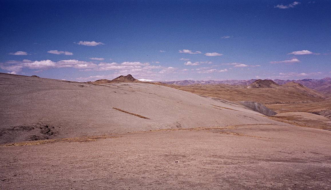
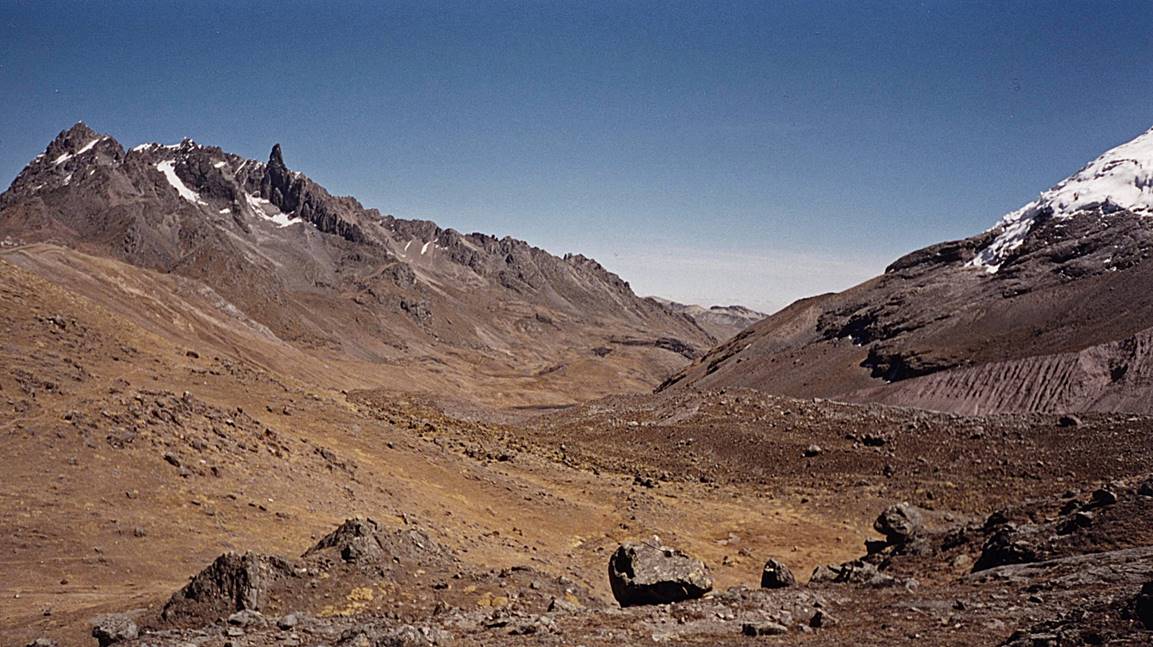
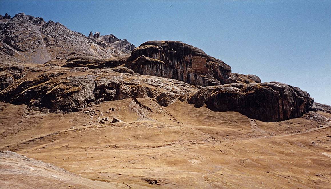
View of the pass.
Laguna Sibinacocha seen from the pass.
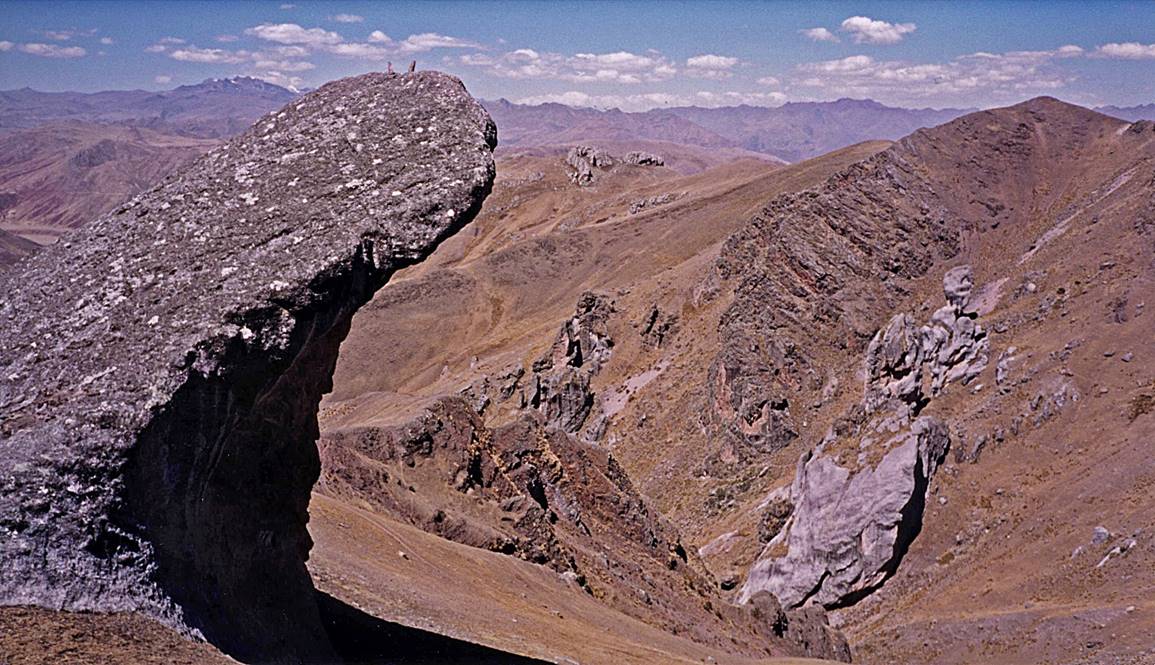
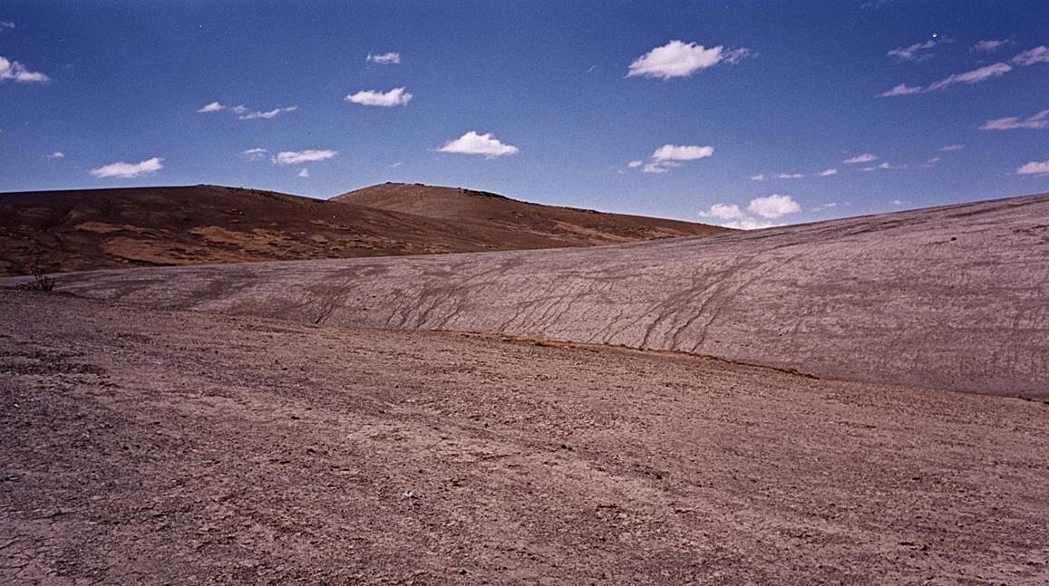
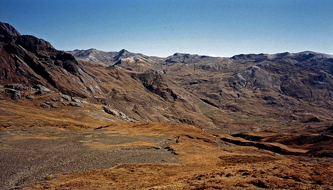
View toward the north at the pass.
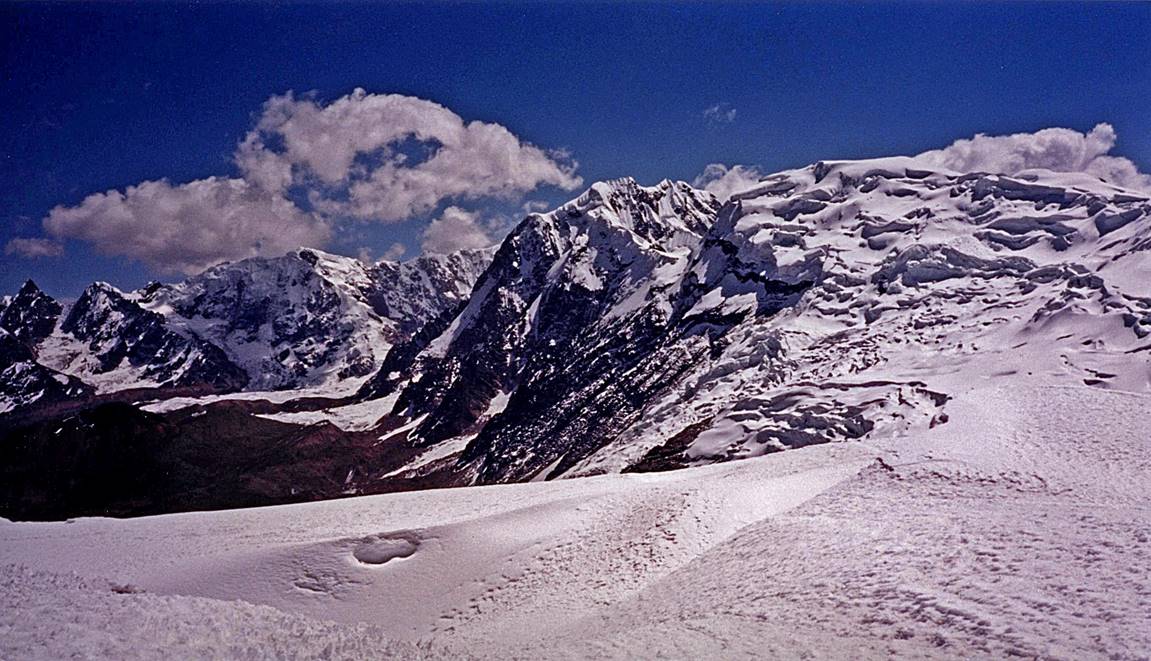
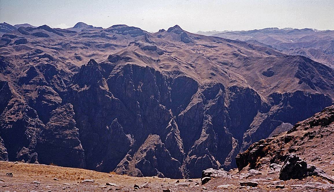
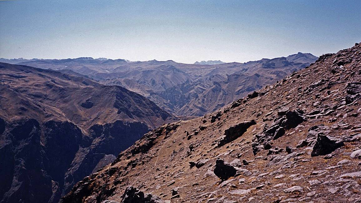
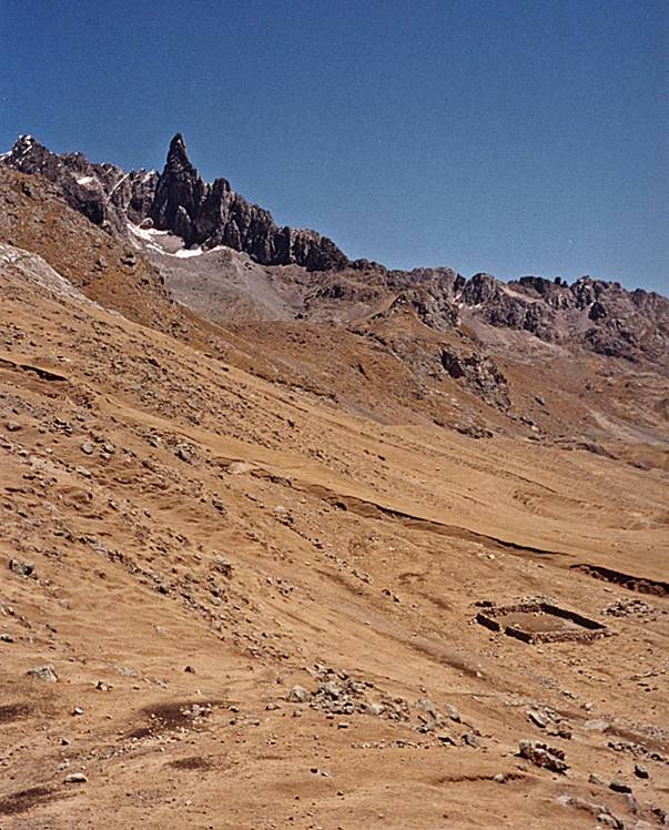
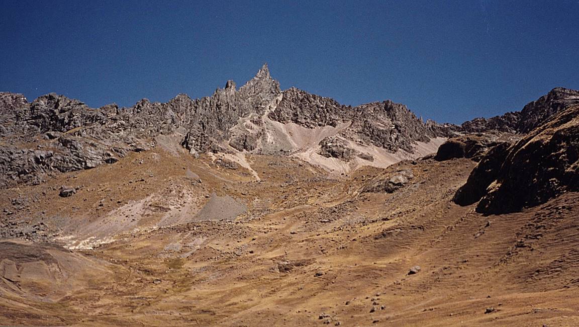
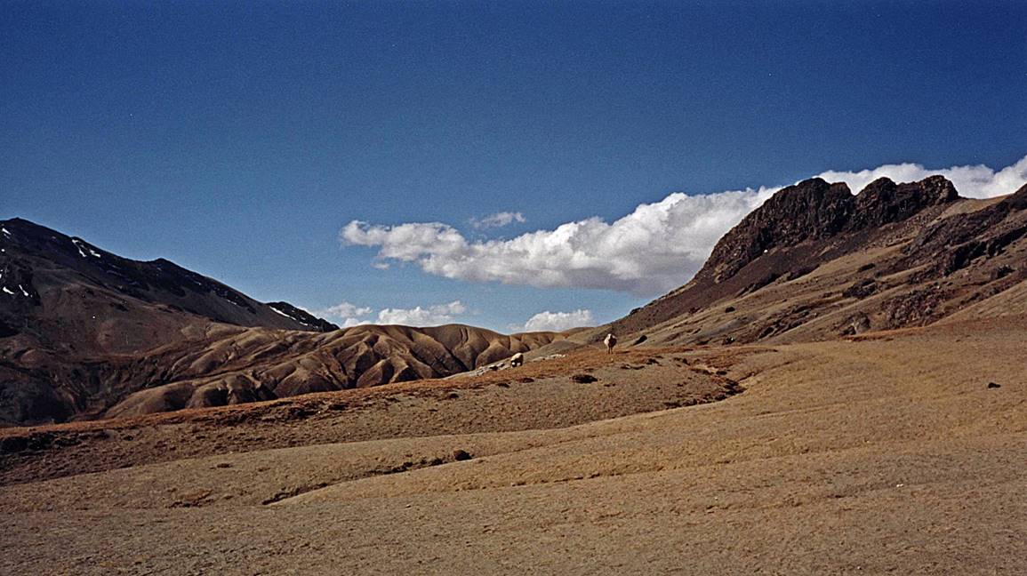
Other views while descending from the pass toward camp #7.
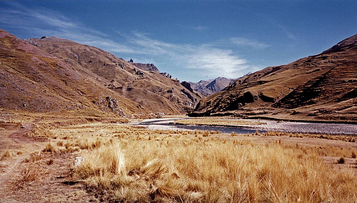
View from the bottom of the valley on the western side of the pass, near Jampa.
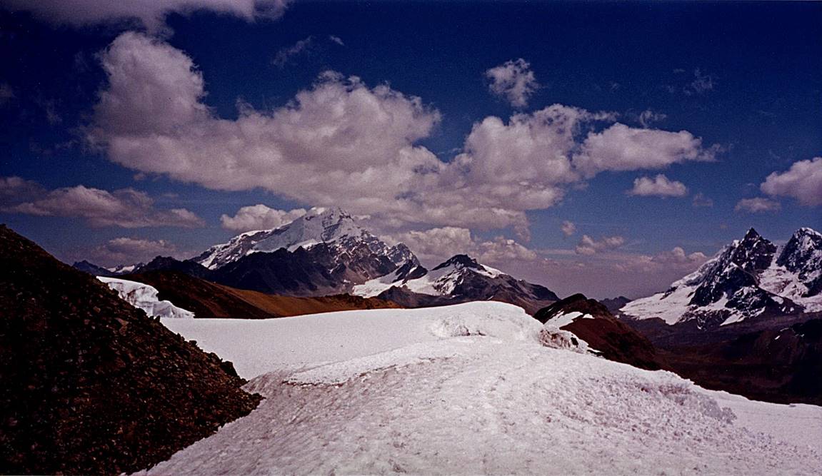
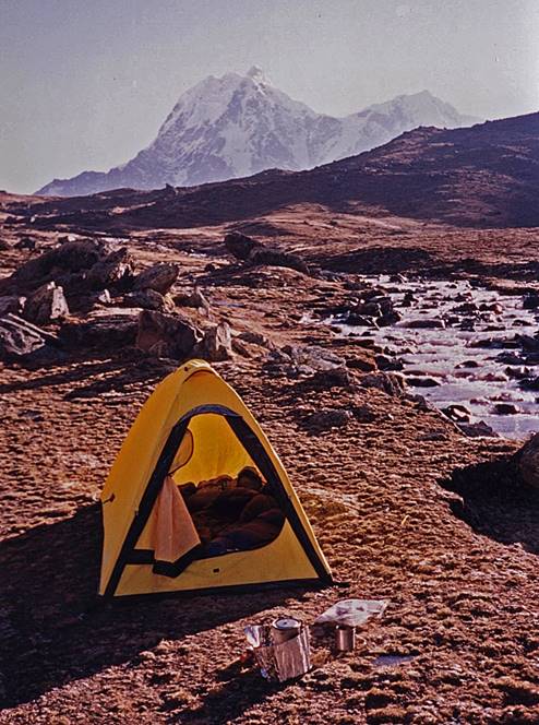
Left: my camp #7 near Jampa. Right: Ausangate seen from the camp.
|
|
|
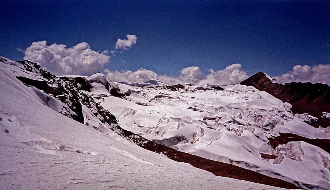
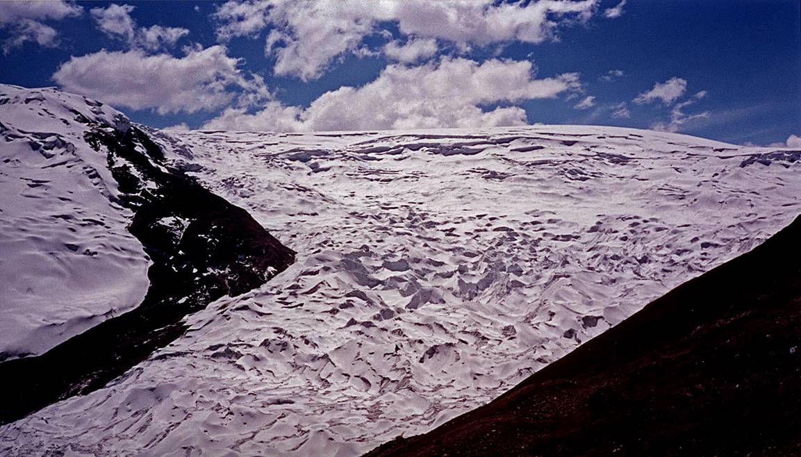
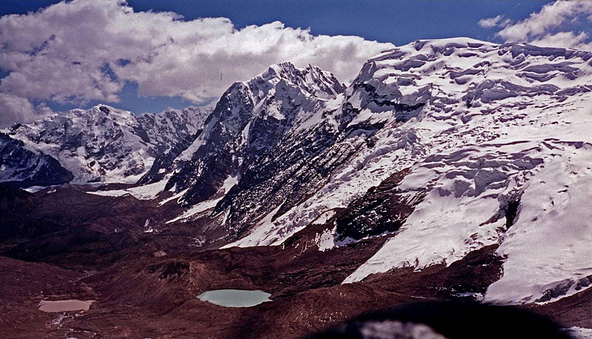
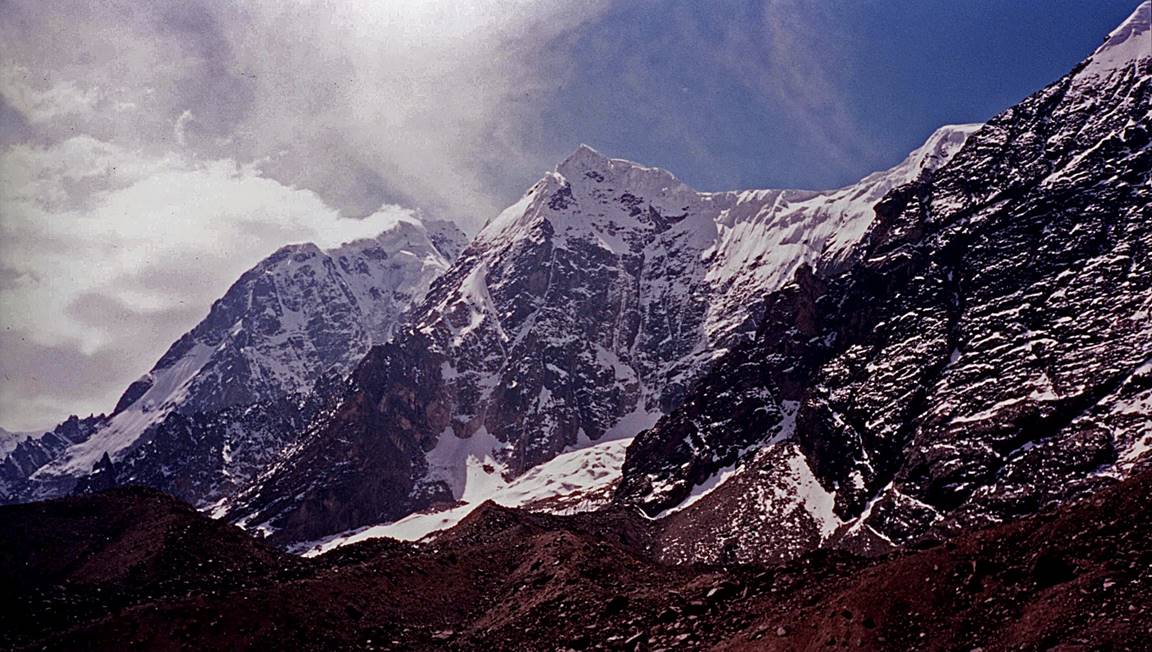
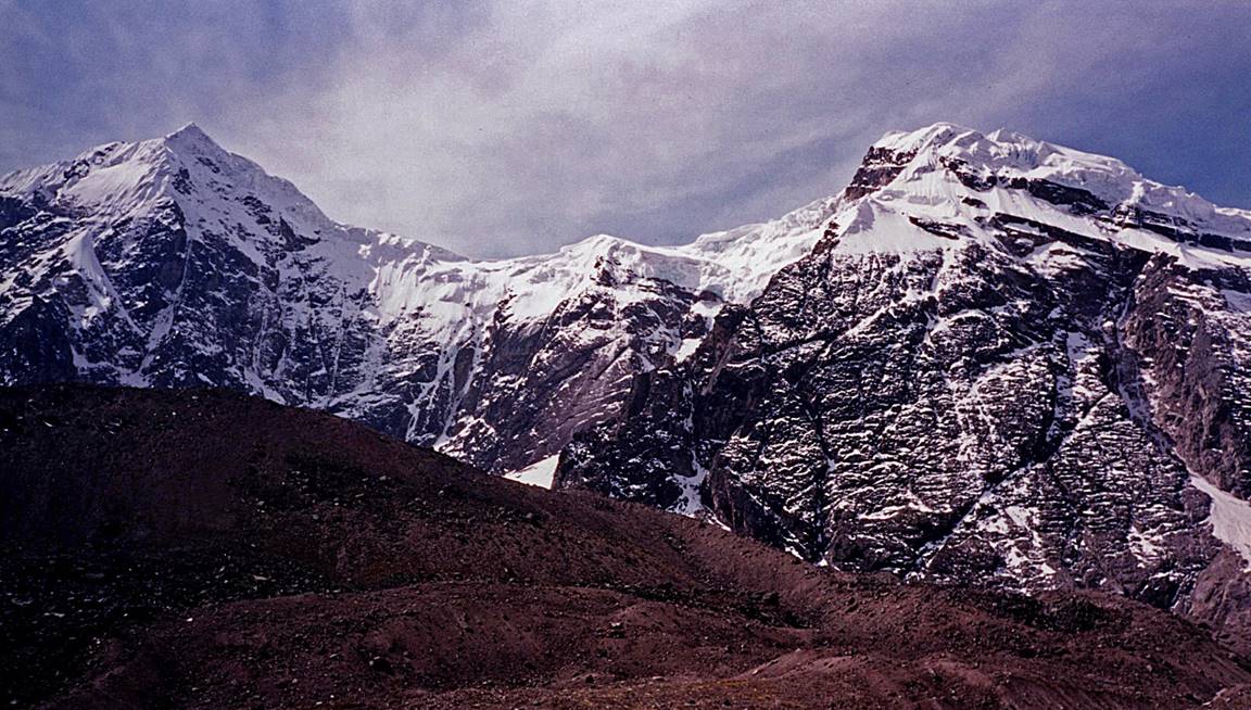
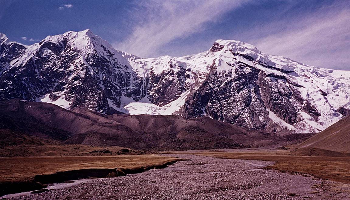
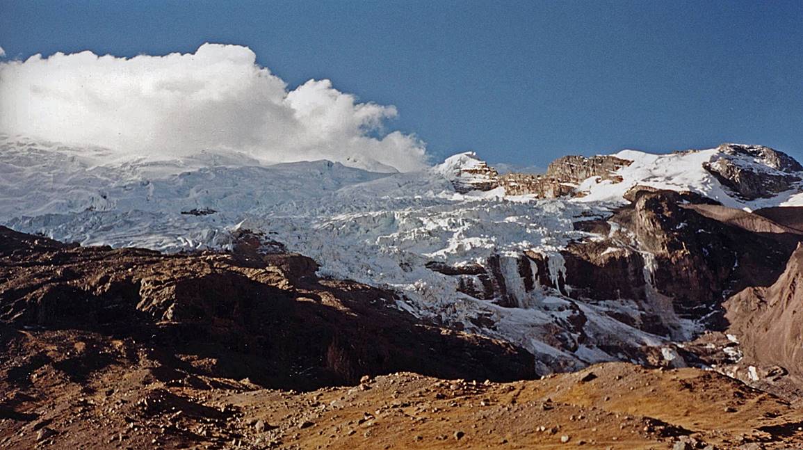
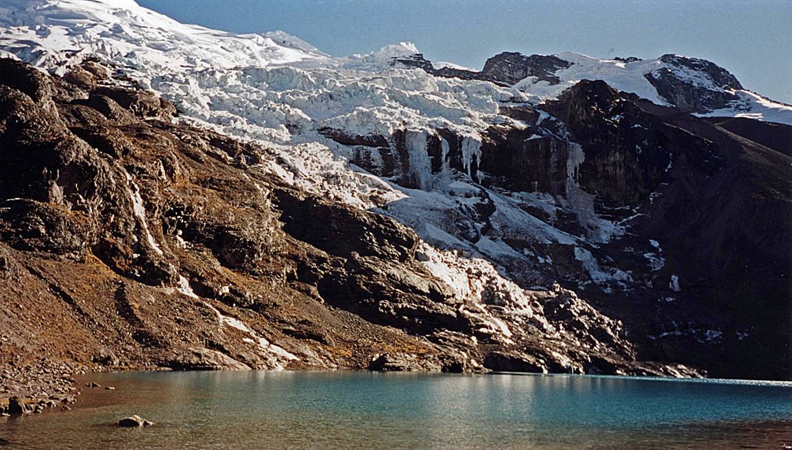
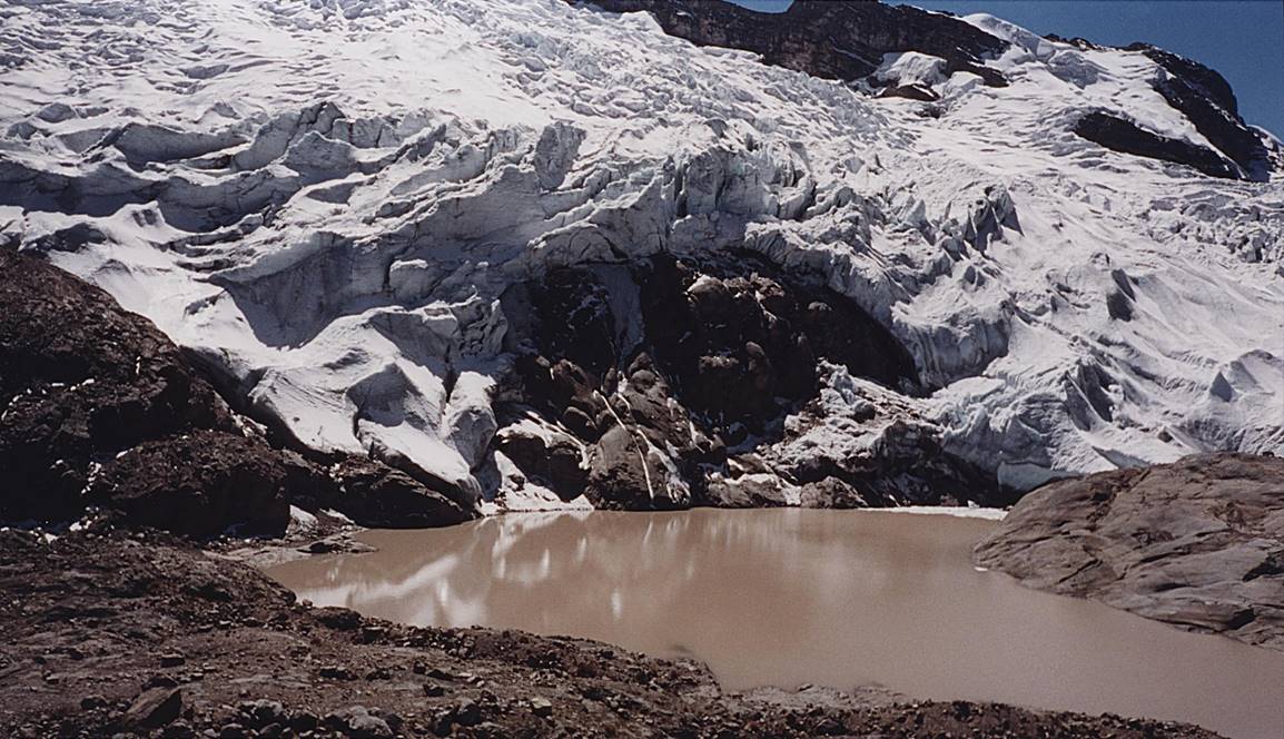
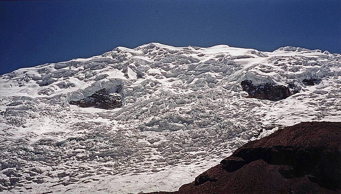
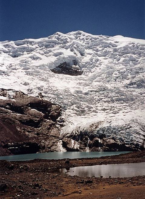
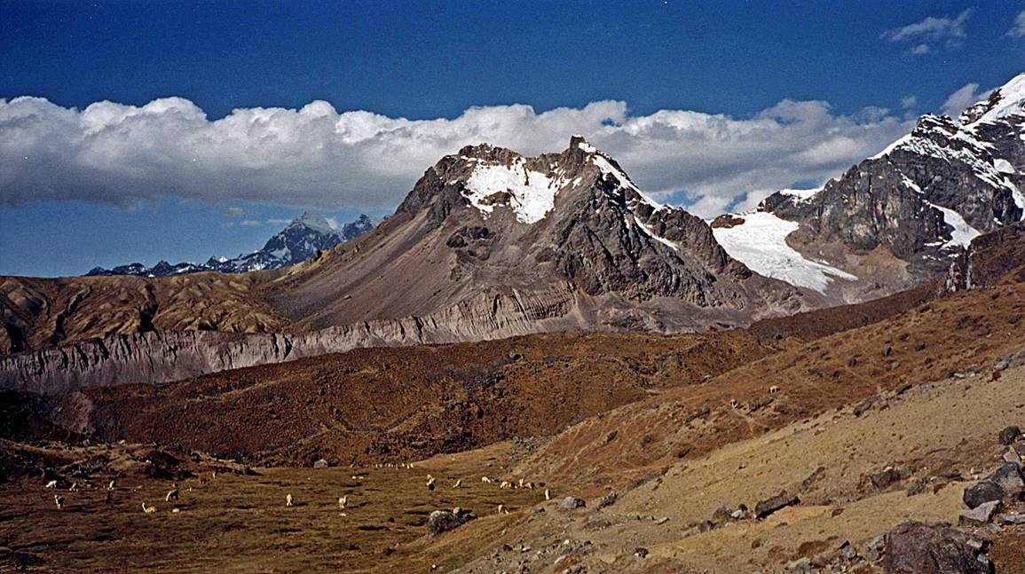
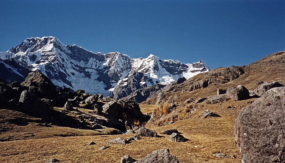
Around Ausangate.
|
|
|
|
|
|
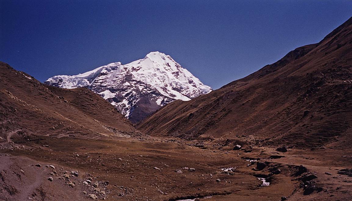
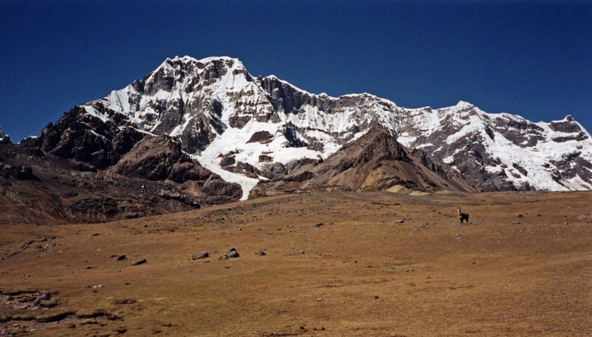
Ausangate seen from locations near Upis.
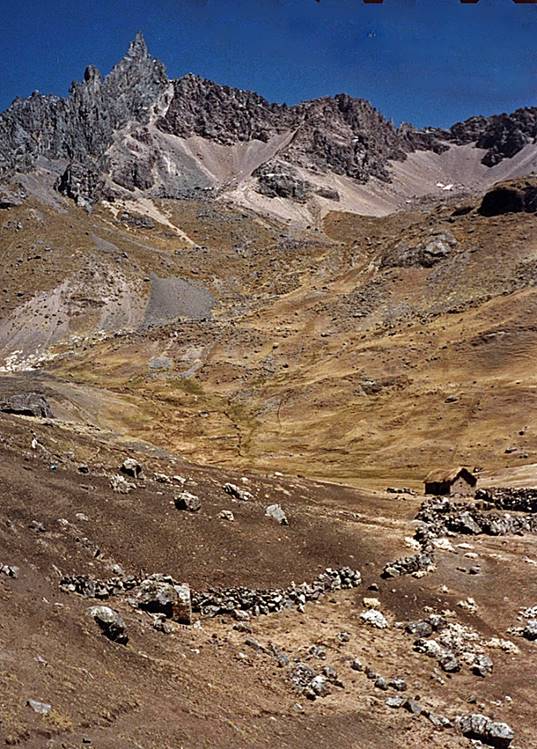
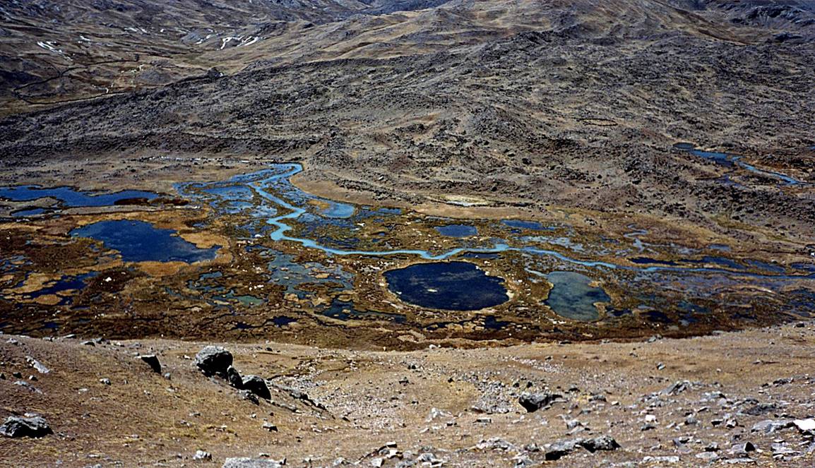
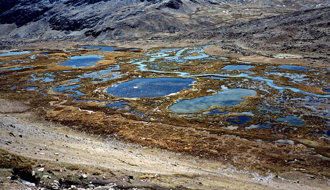
Marshes near Upis.
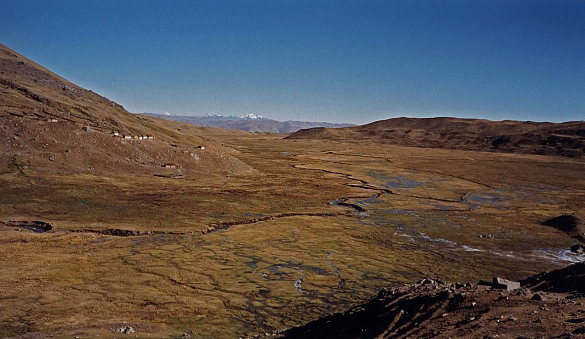
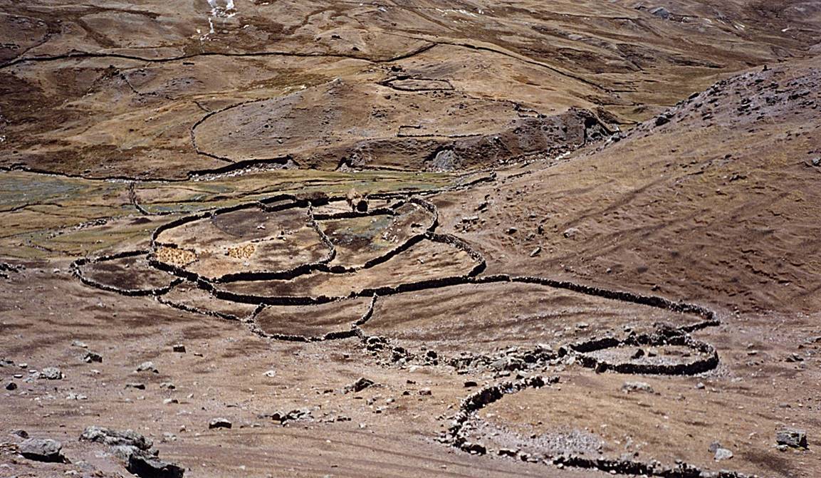
Corrals.
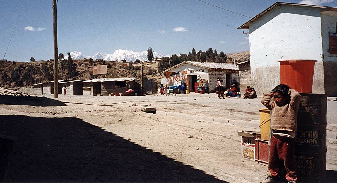
Reaching Tinqui.
End of the trek.
![]()