Central Atlas (April 2014) -- Part 1: From Qalaat Mgouna to Assif Imejdag
![]()
Return
to Sahro & Atlas 2014 webpage
Map.
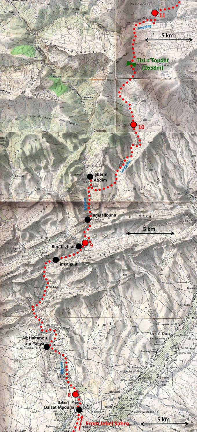
(Trek itinerary is in red dotted line.
Big red dots labeled by numbers designate night camps.)
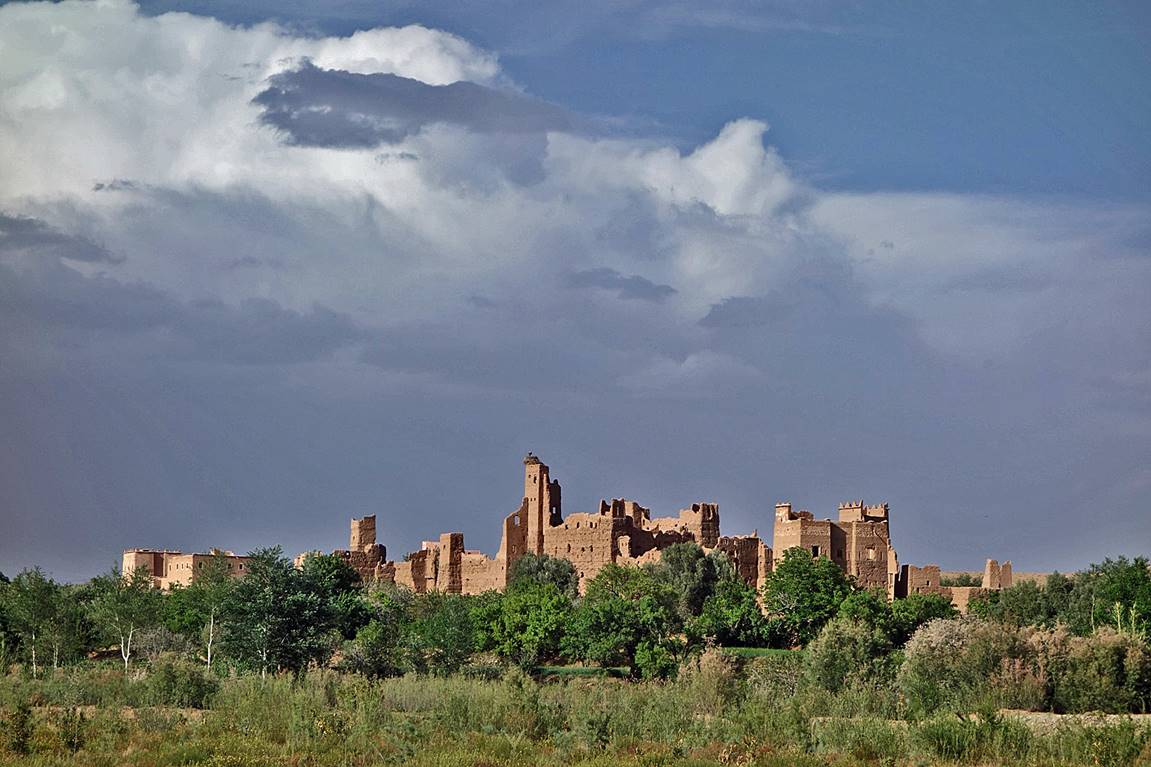
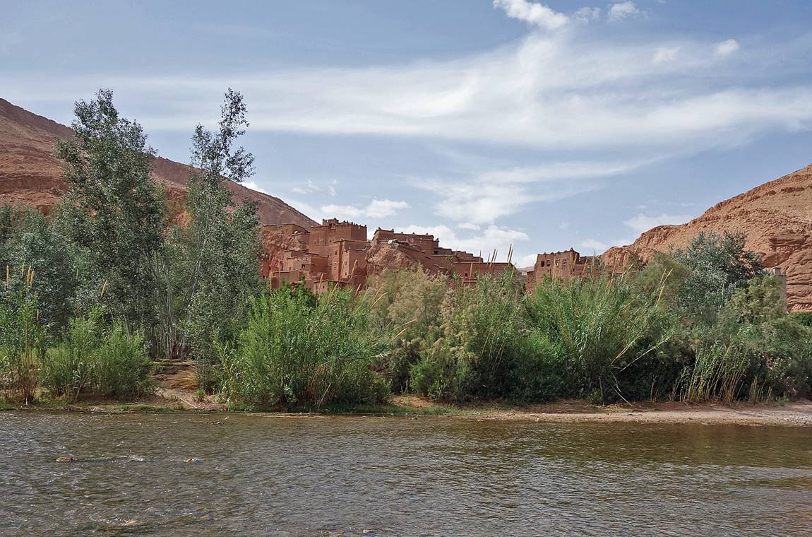
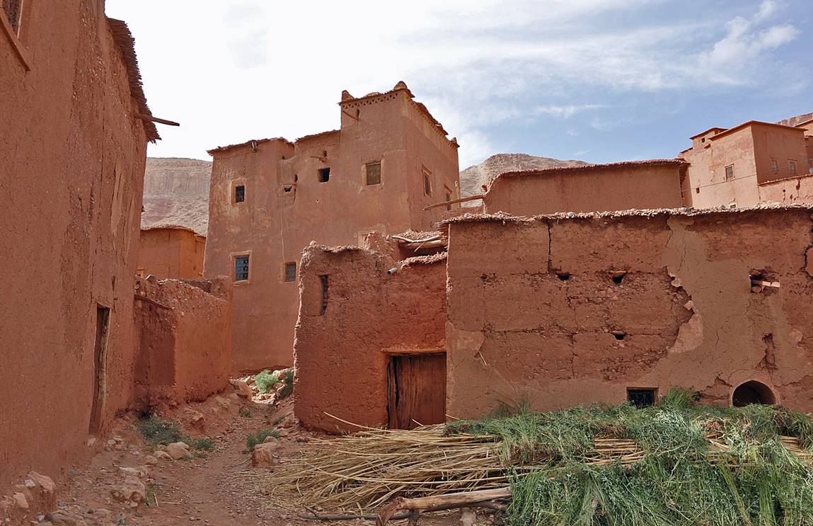
Old adobe houses and kasbahs
in Qalaat Mgouna near our
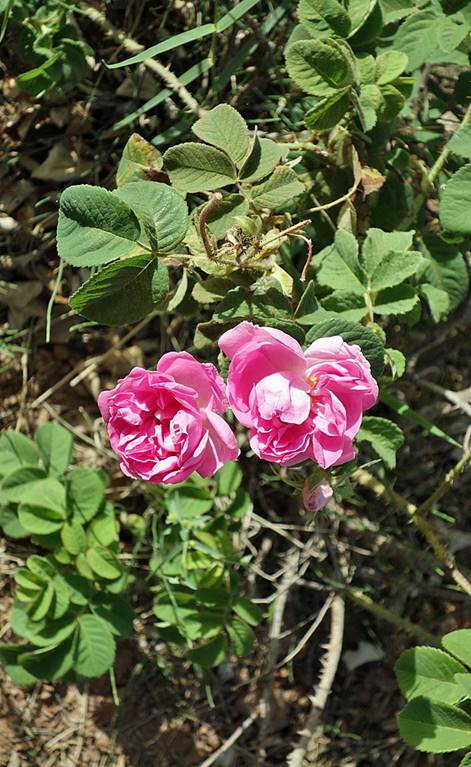
campsite #8. The roses of this region of Morocco (right) are famous.
|
|
|
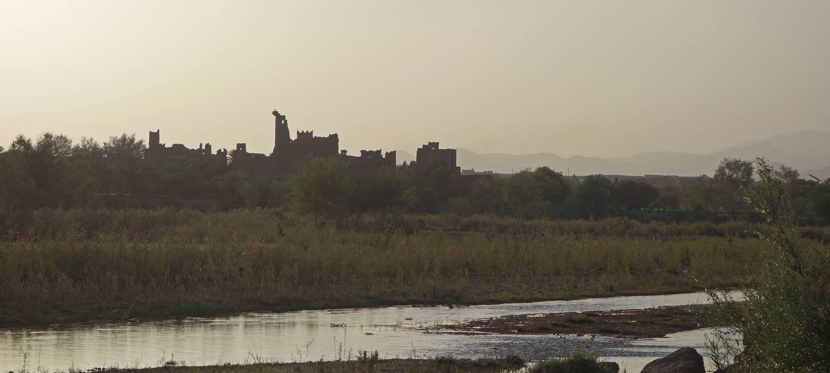
The same houses as above at sunrise.
From Qalaat Mgouna to the village of Igherm Aqdim, for two days, we hiked along Assif
Mgoun. We had to ford it many times.
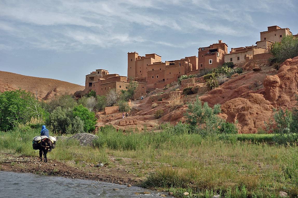
Village of Ait
Hammou ou-Yahya.
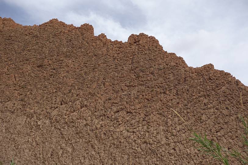
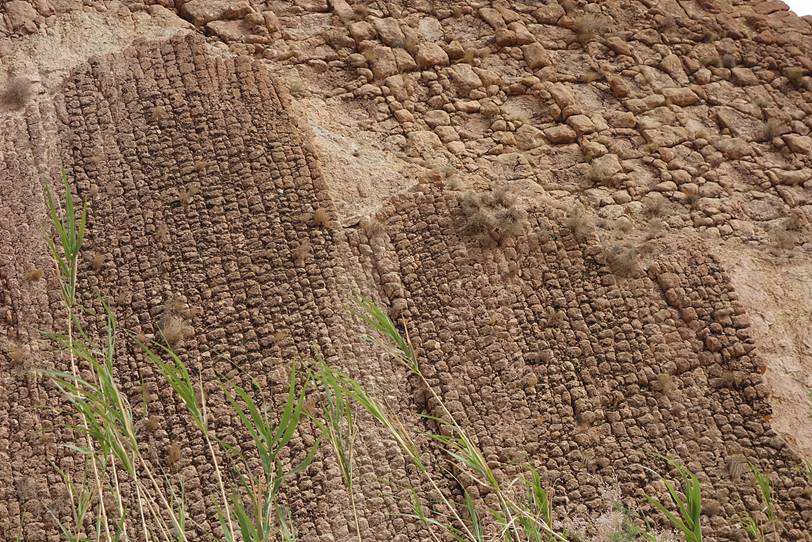
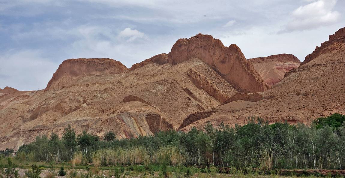
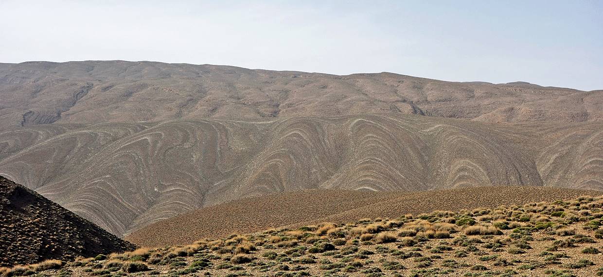
Unusual rock formations and textures
between Ait Hammou ou-Yahya and Timstiguit.

|
|
|
In the village of Timstiguit.
Between Bou Taghrar (near which we put our camp #9) and Tamgallouna.
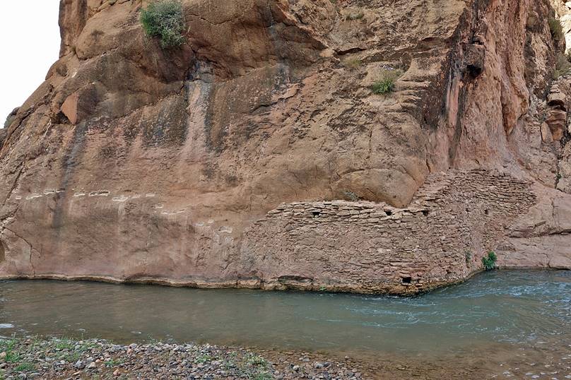
Remains of an old water canal along Assif Mgoun.
|
|
|
Tamgallouna.

Igherm Aqdim. We stopped in this village, the last one for quite a
while, to buy some food for the following days.

At Igherm Aqdim we left the green valley of Assif
Mgoun and we headed east for a while. The change of
scenery was immediate and dramatic.

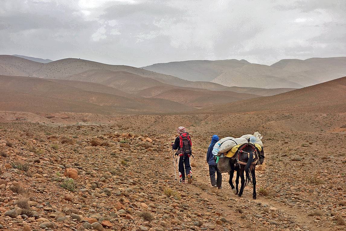
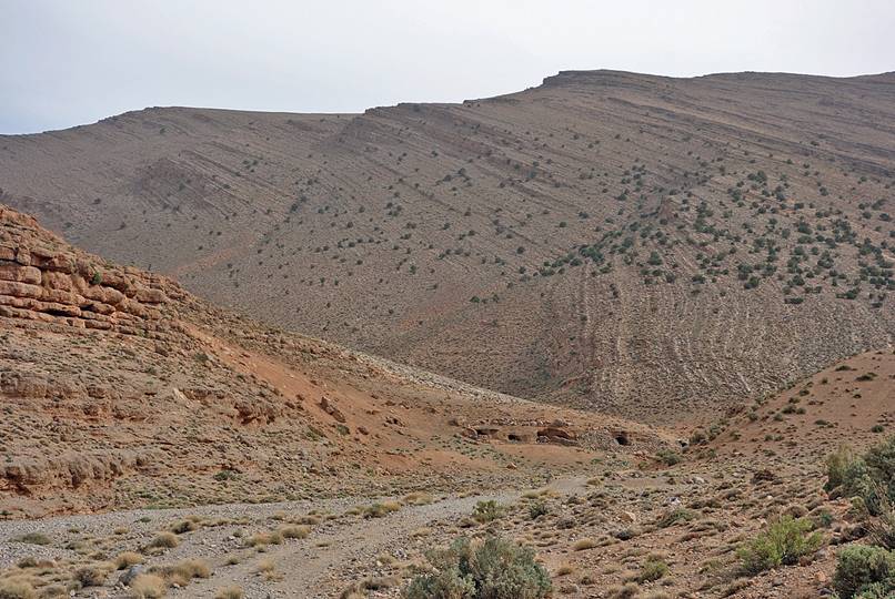
We then followed the dry riverbed of Assif Imejgane. This path is a
traditional route used by many Ait Atta nomads from
Jebel Sahro to move with their animals to the cooler
Atlas in April until September. As a young child, Ahmed (with the red-white
turban on the photo below) did that trip many times with his parents. The
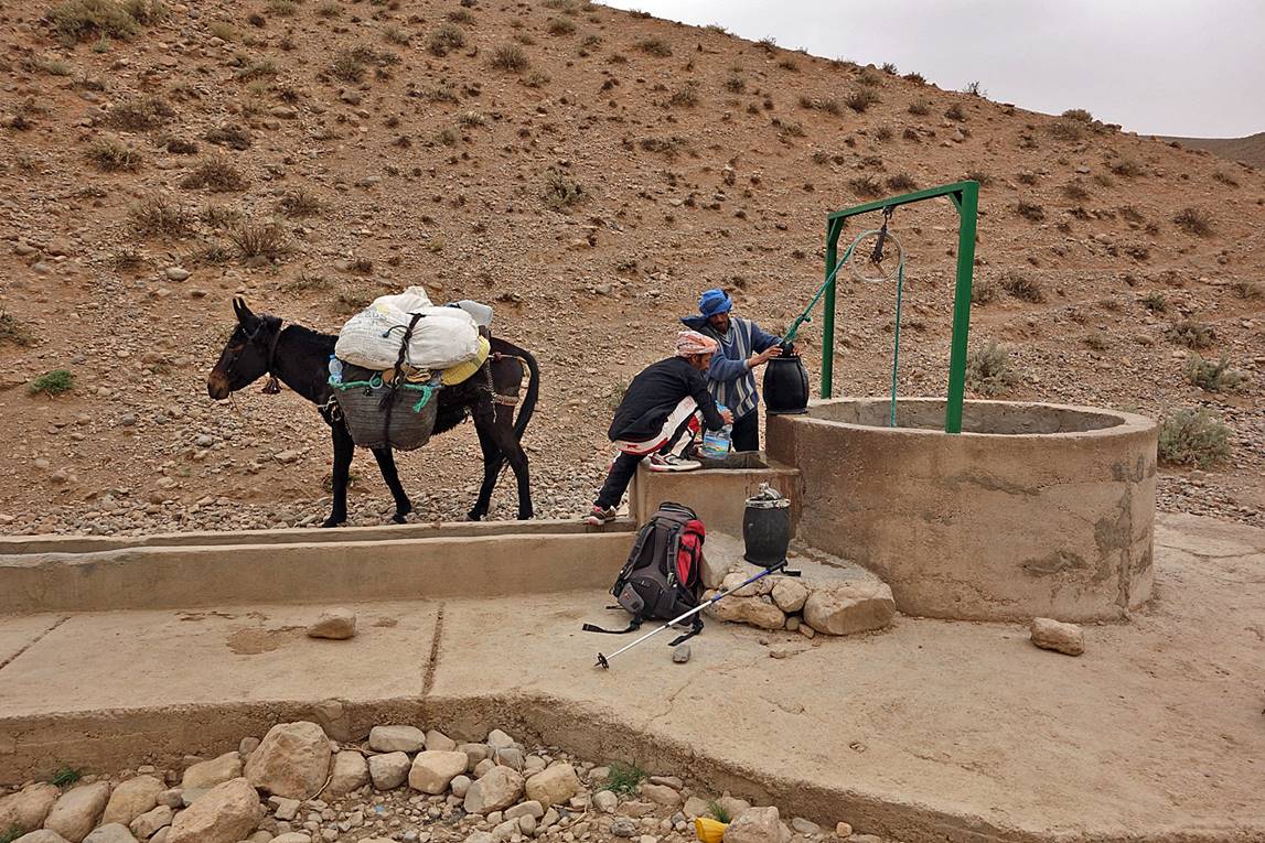
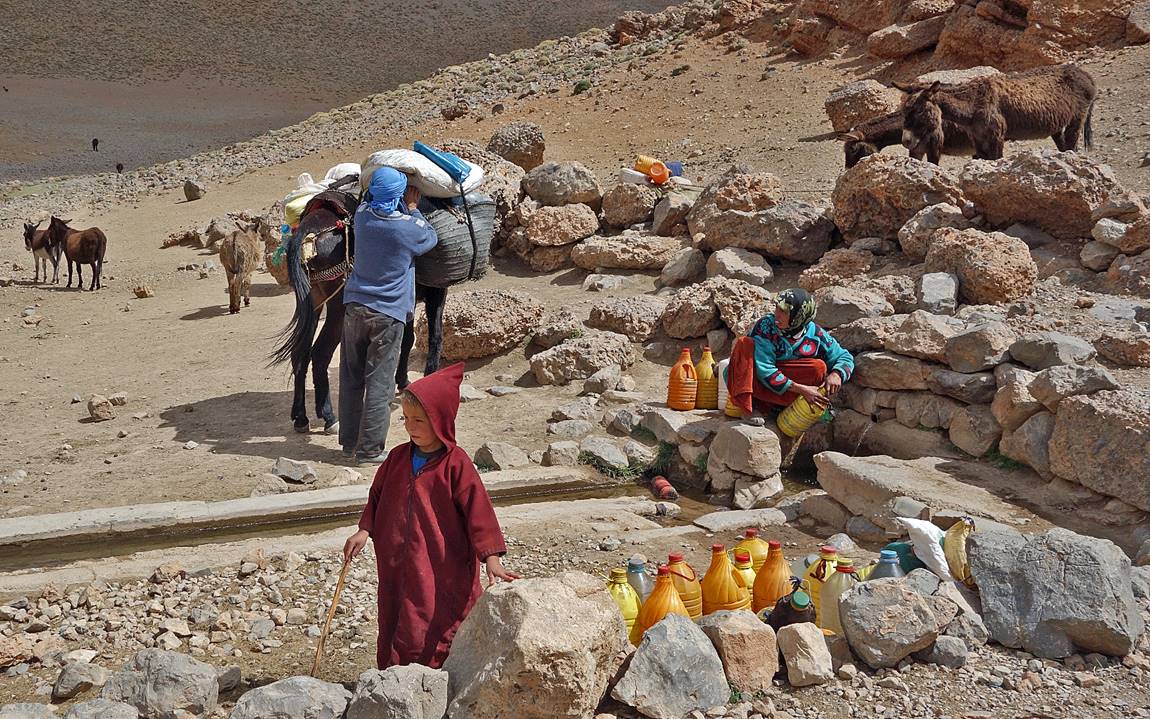
relatively recent well in this photo was built especially to provide reliable
water to the nomads.
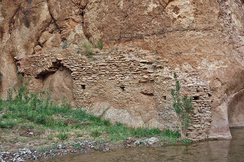
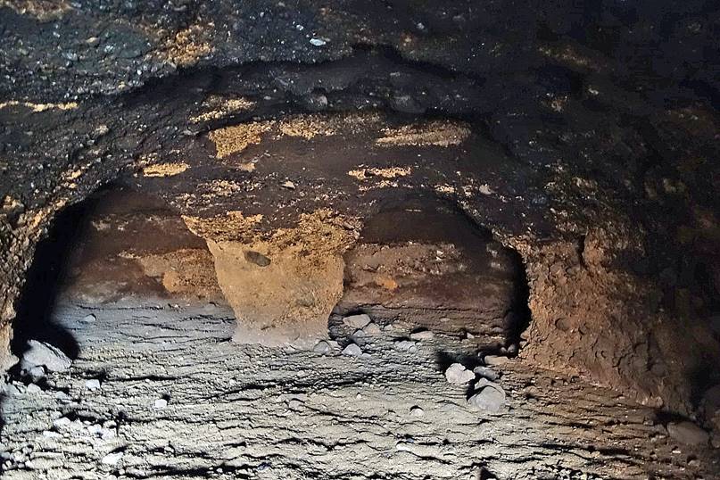
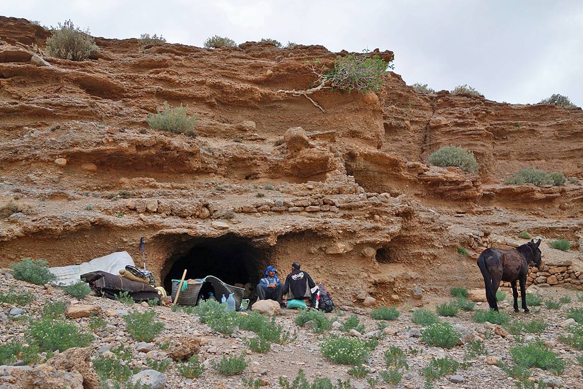
Along the riverbed of Assif Imejgane there are many
man-made caves used as temporary shelters by the nomads on their way up and
down. Some caves are quite large.
|
|
|

|
|
|
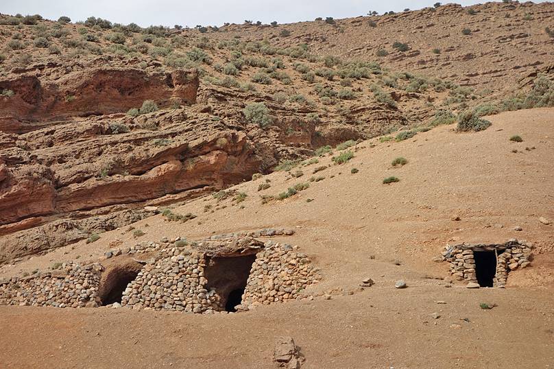
We establish our camp #10 at one of
these caves. I put my tent outside, but Ichou and
Ahmed slept inside the cave.
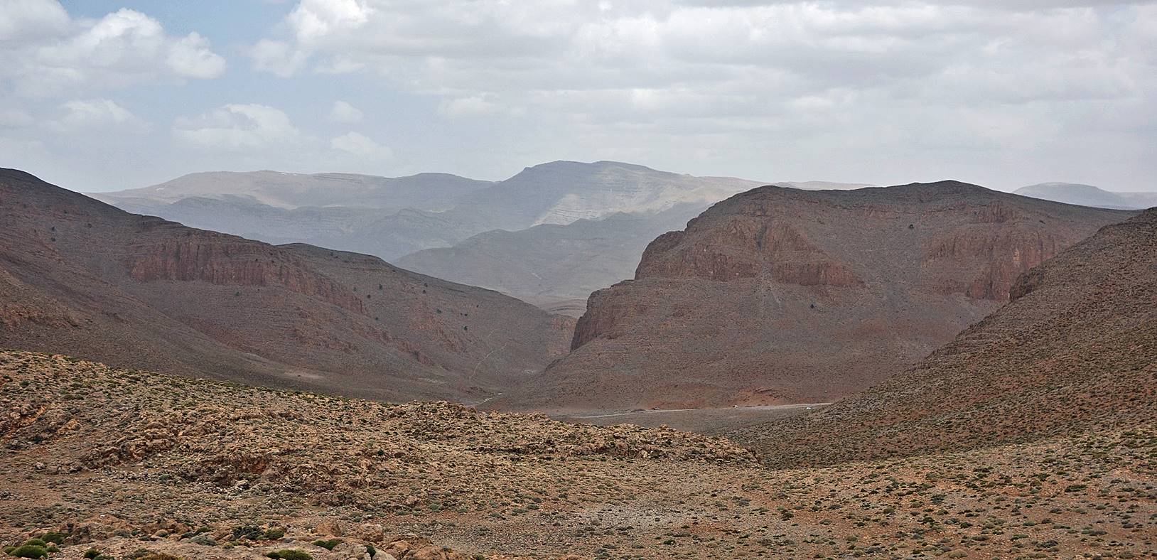
View toward the north at Tizi n′Toudat. The two
small white dots in the valley on the right of the photo are nomad camps.
At the water source below Tizi n′Toudat, with an Ait Atta woman and her son filling water bottles.
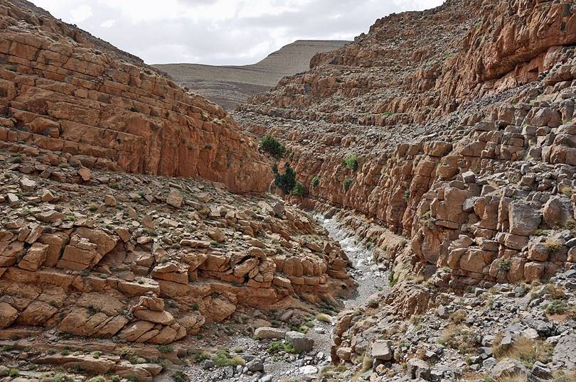
Small side canyons before reaching Assif Amejdag.
|
|
|

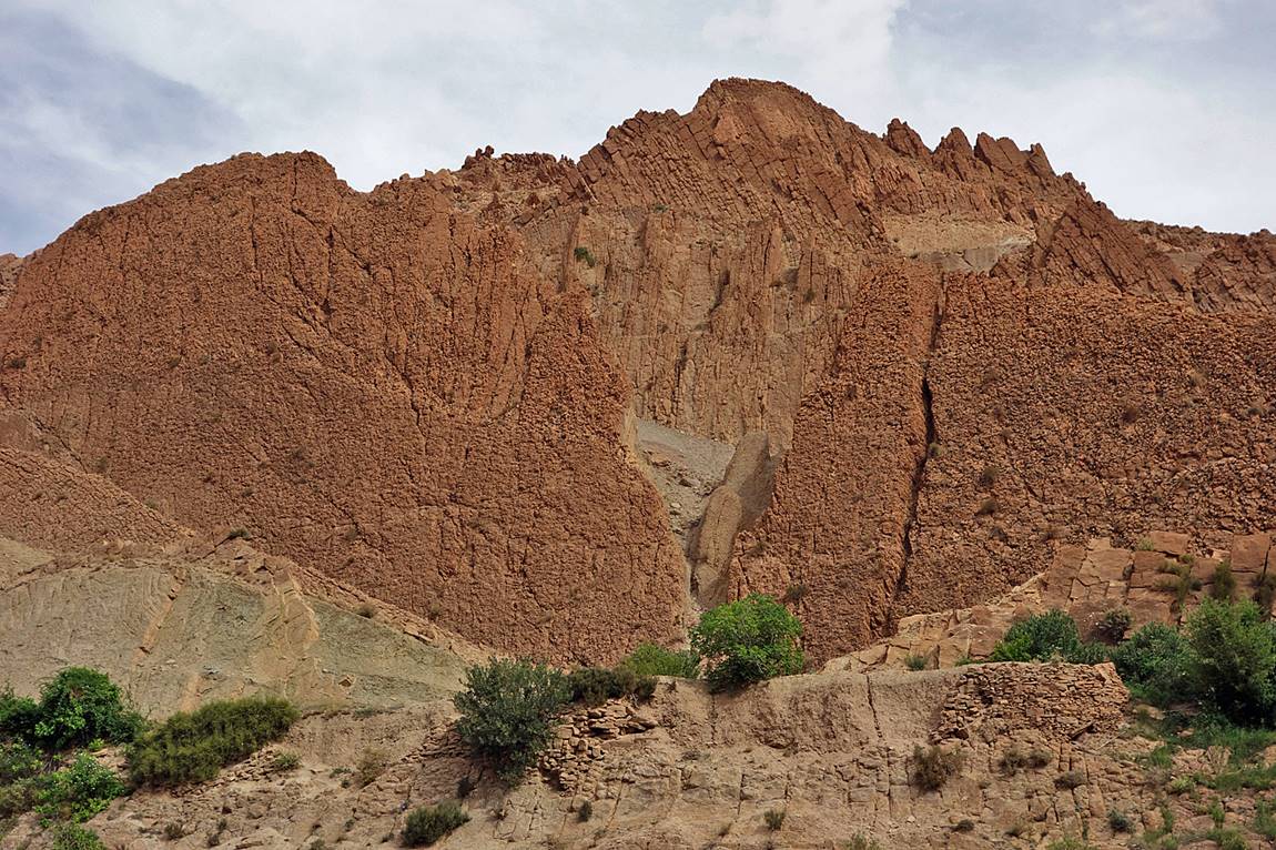
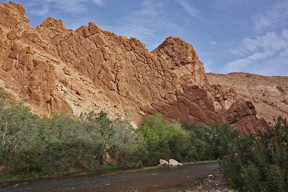
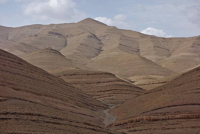
Views and interesting textures along Assif Amejdag. See here
for photos that I took along Assif Amejdag during another trek in 2008.
|
|
|

|
|
|

Click on the following links to see photos of other sections of the trip:
- Jebel
Sahro, Part 1: from n′Ouarg
Valley to Tizi n′Tagourt,
- Jebel
Sahro, Part 2: from Tizi n′Tagourt to Qalaat Mgouna,
- Central
Atlas, Part 2: from Assif Imejdag
to Zawyat Ahancal.
![]()