Central Atlas (April 2014) -- Part 2: From Assif Imejdag to Zawyat Ahancal
![]()
Return
to Sahro & Atlas 2014 webpage
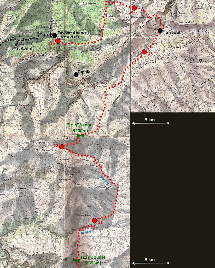
Map.
Soon after reaching Assif
Imejdag below Tizi n′Toudat, we left its valley to establish our camp
#11 near a better source of water. On the next morning we returned into the
riverbed of Assif Imejdag
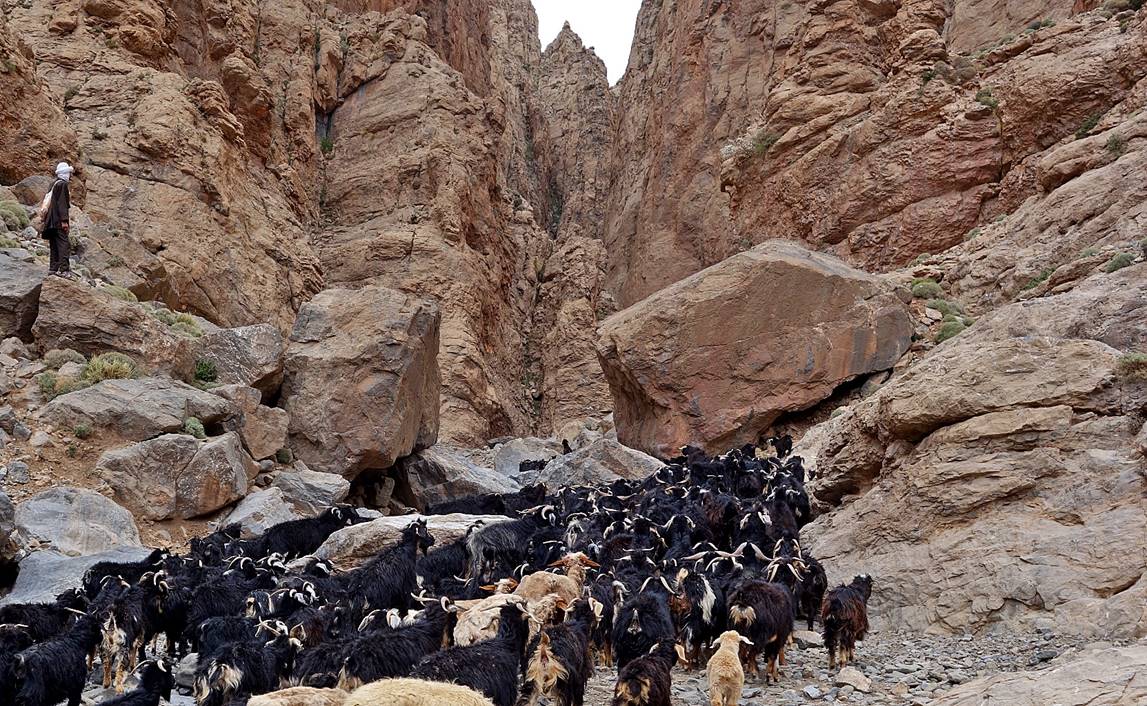
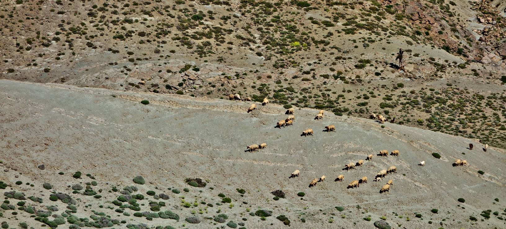
by another path and followed this riverbed up to our camp #12. Along the way we
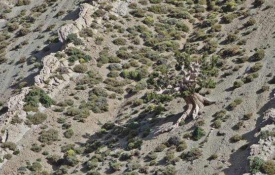
saw many goats, sheep, and dromedaries. Dromedaries tend to stay on the upper
ridges where, thanks to the wind, there are fewer bugs.
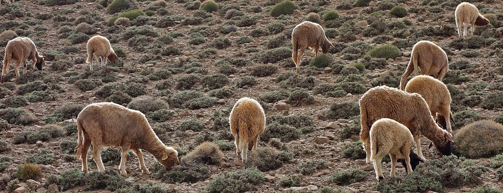
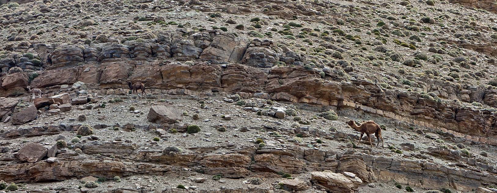
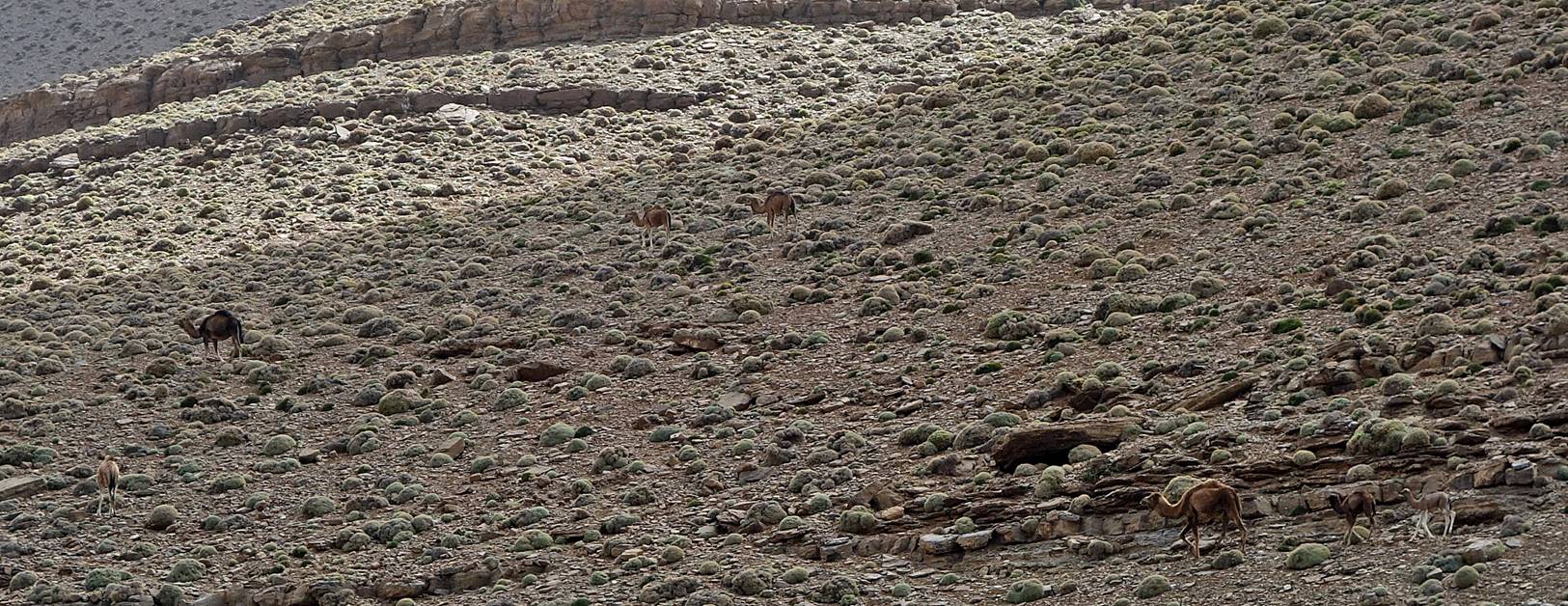
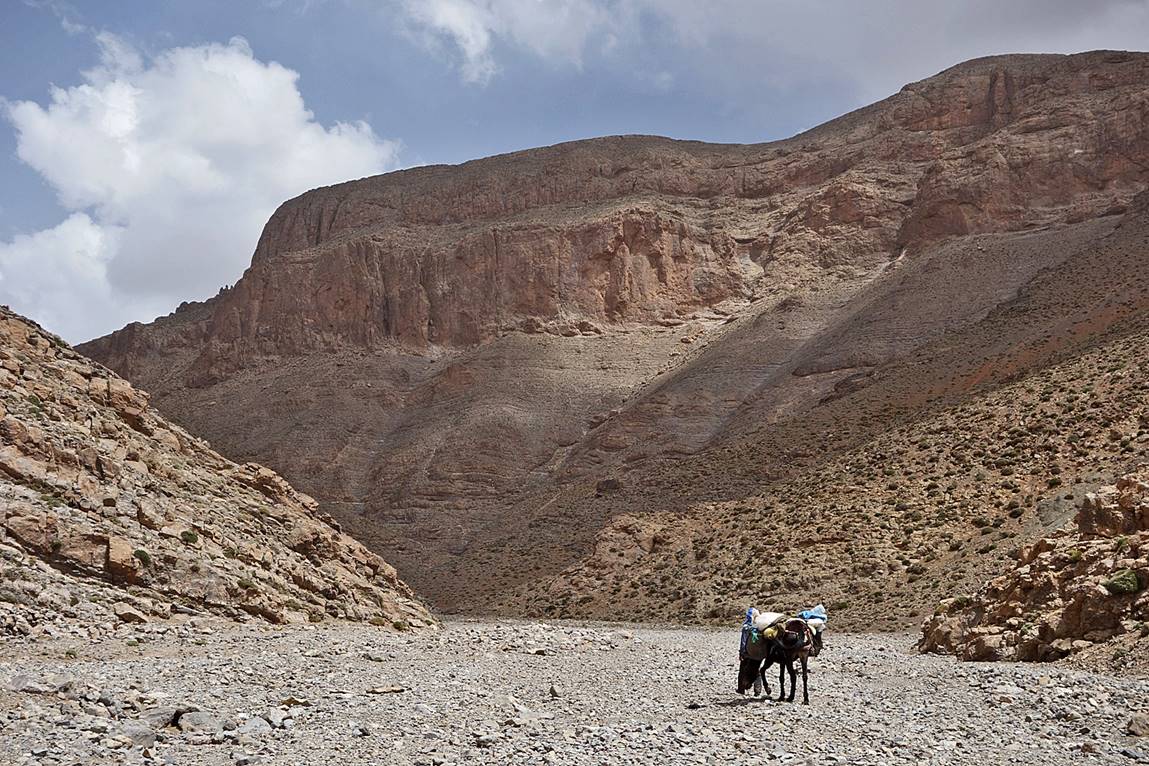
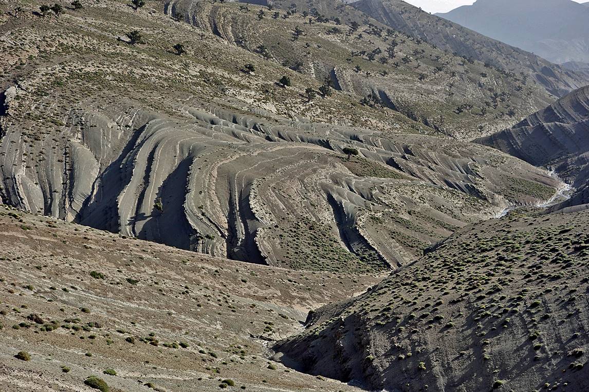
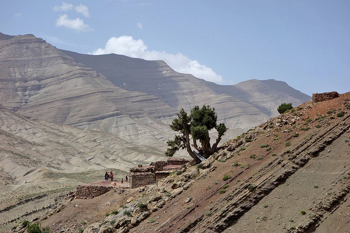
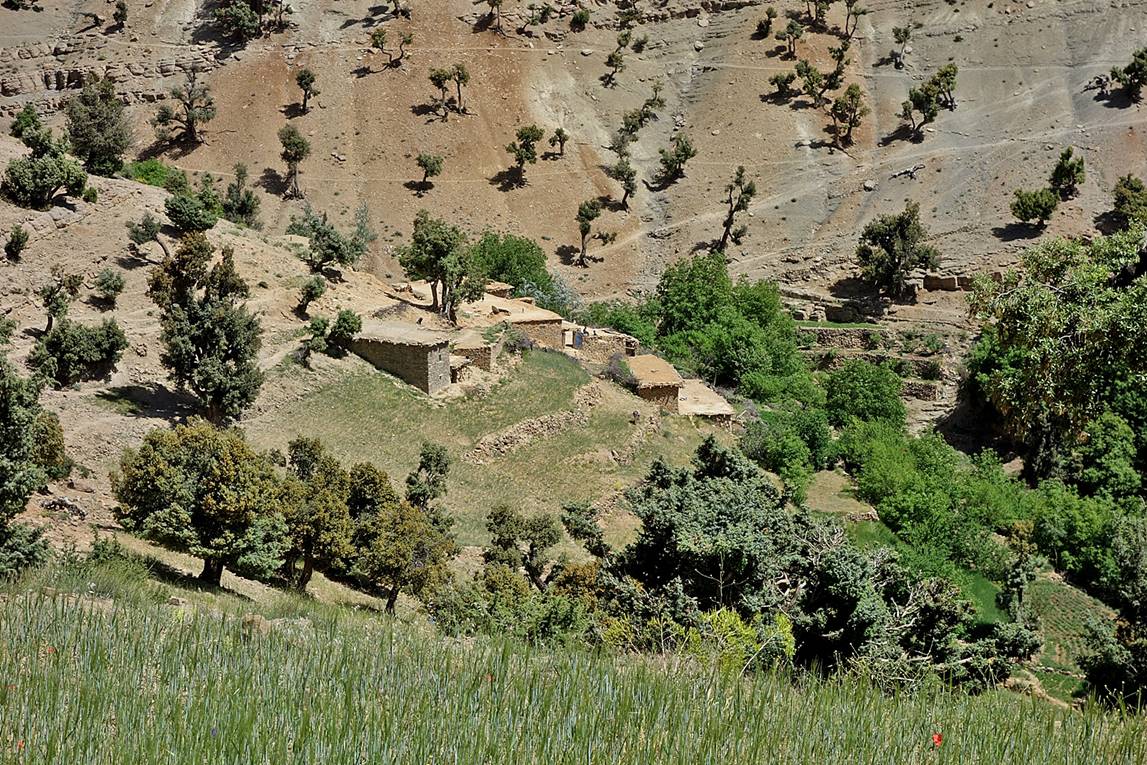
In the riverbed of Assif
Imejdag.
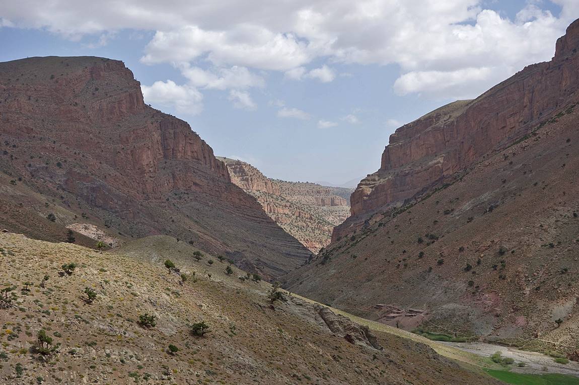
Further up Assif
Imejdag had made its way through a very narrow gorge
(see here
for photos of the gorge I took in 2008).
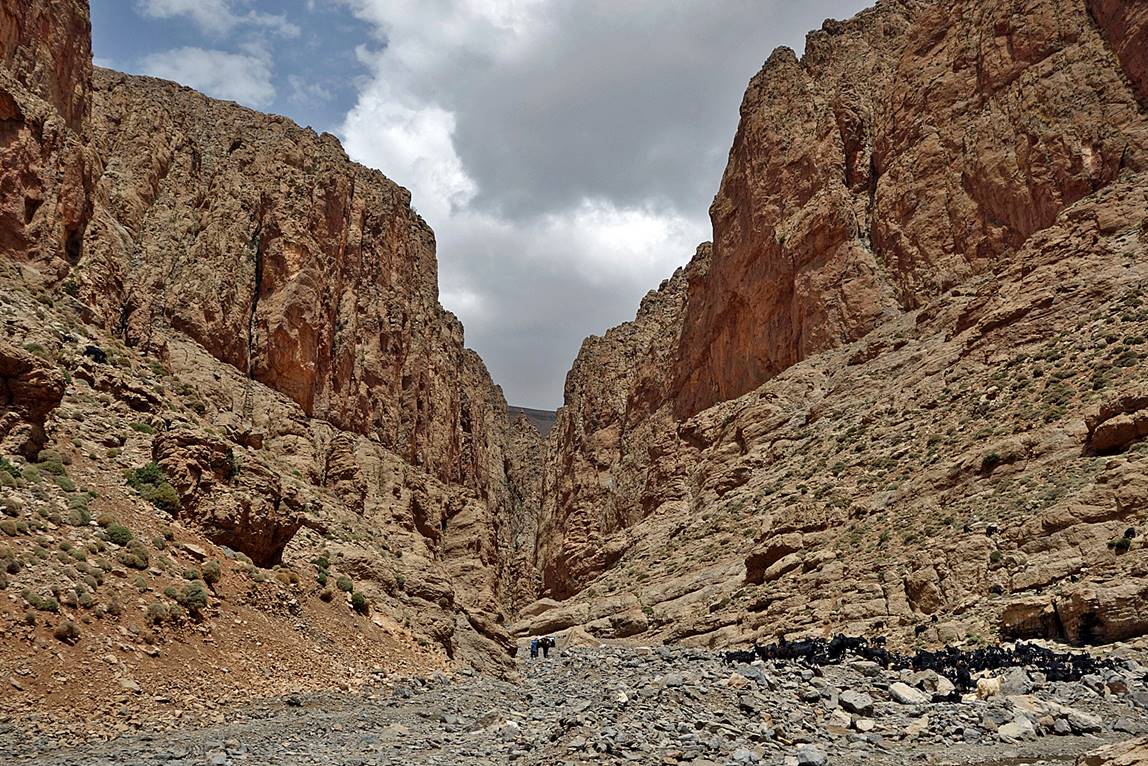
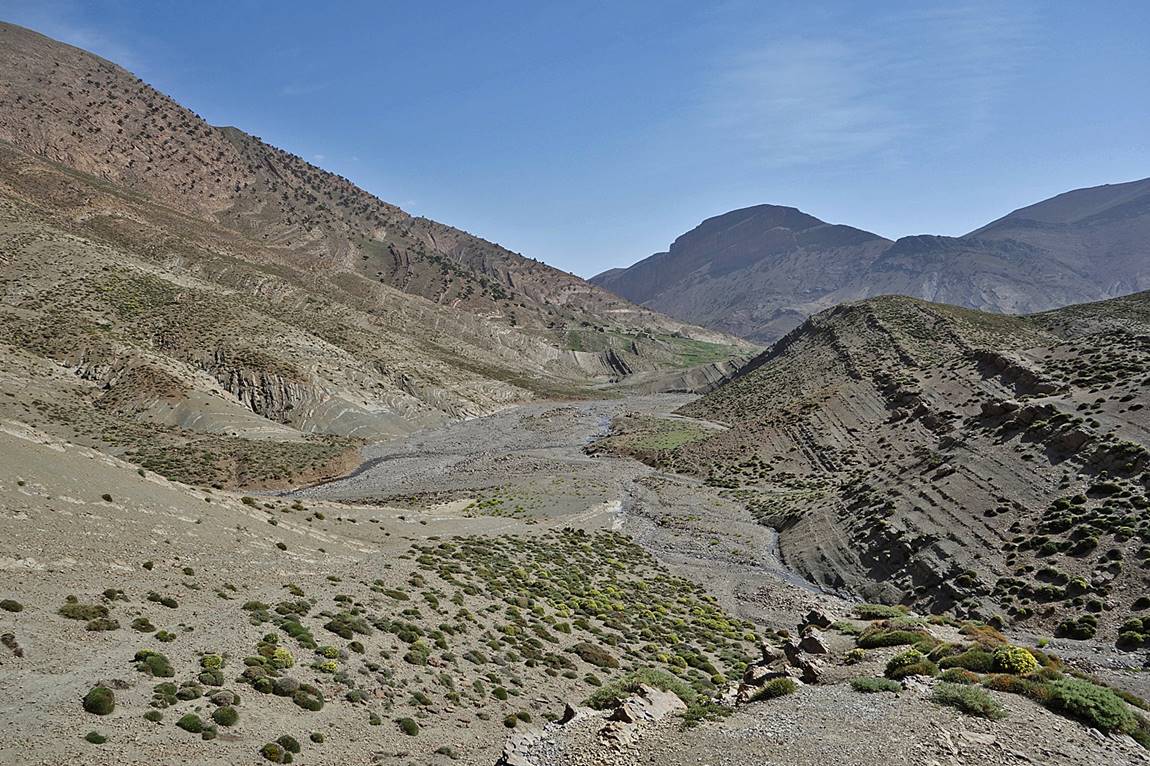
Above the gorge, the valley of Assif Imejdag widens again.
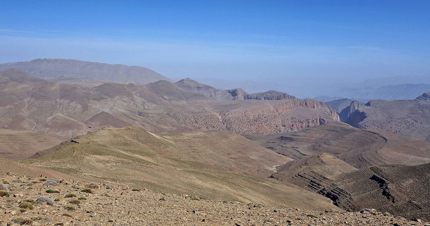
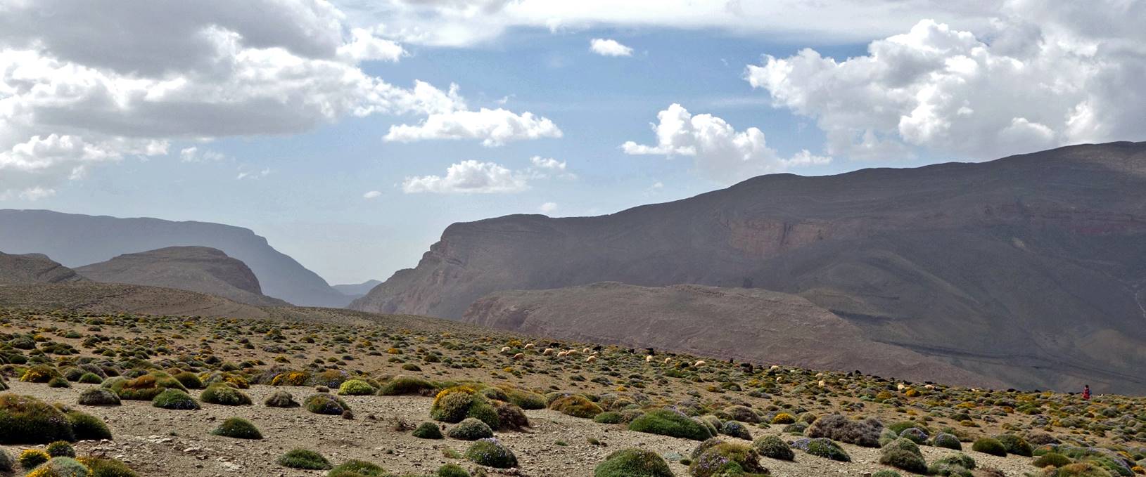
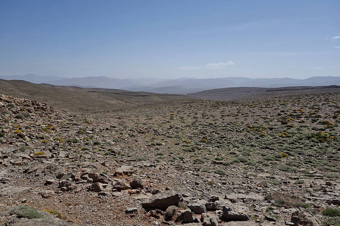
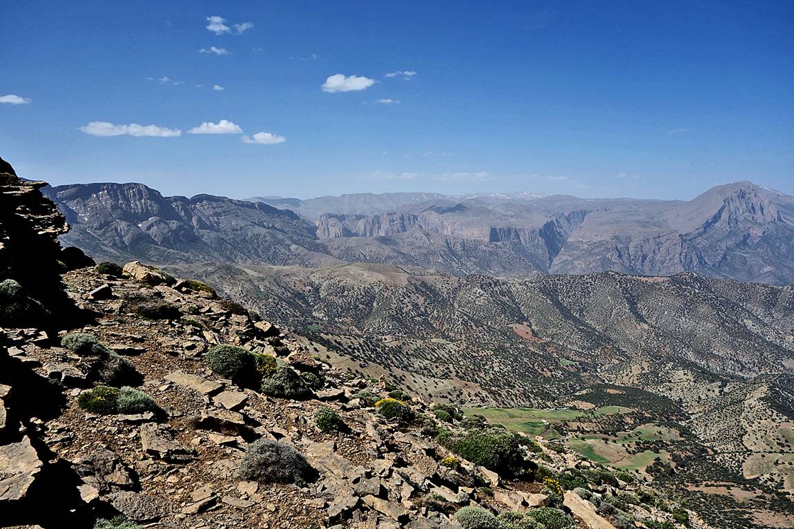
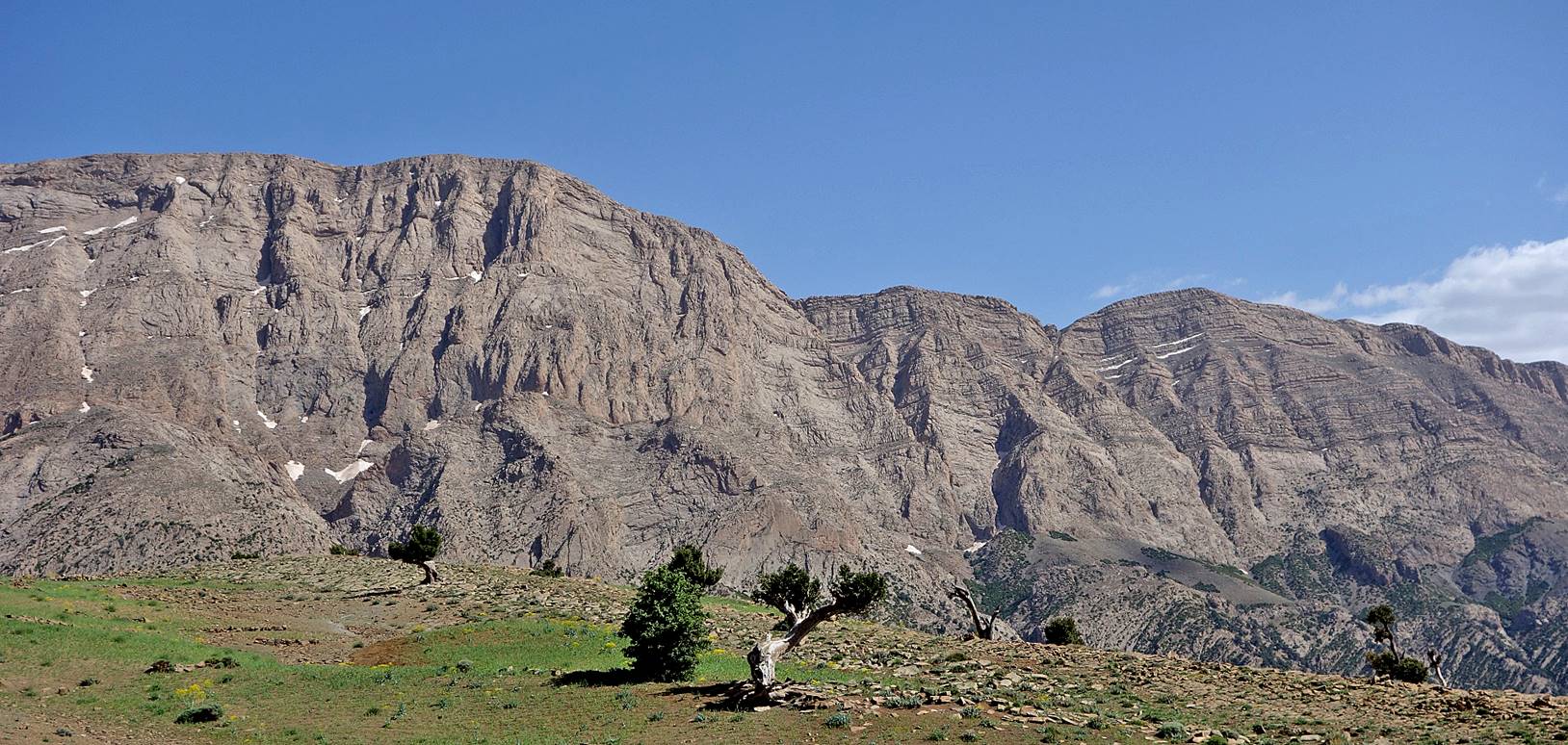
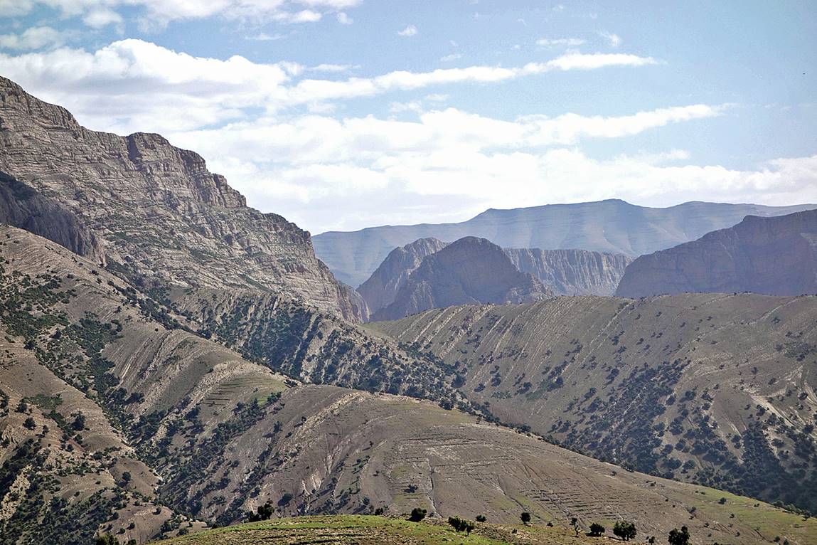
From camp #12 we climbed to Tizi n′Wadou (literally ′′Windy
Pass′′), which roughly separates the southern flanks of the Central
Atlas from the northern ones. The views from this pass over Jebel Aroudane (on the left in the first picture below) and the
canyons leading to the Taghia Cirque (see here
and here
for photos of Taghia Cirque that I took during
previous trips) are awesome.
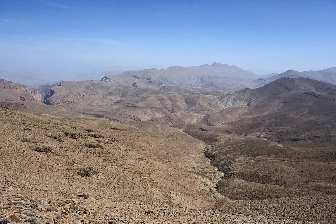
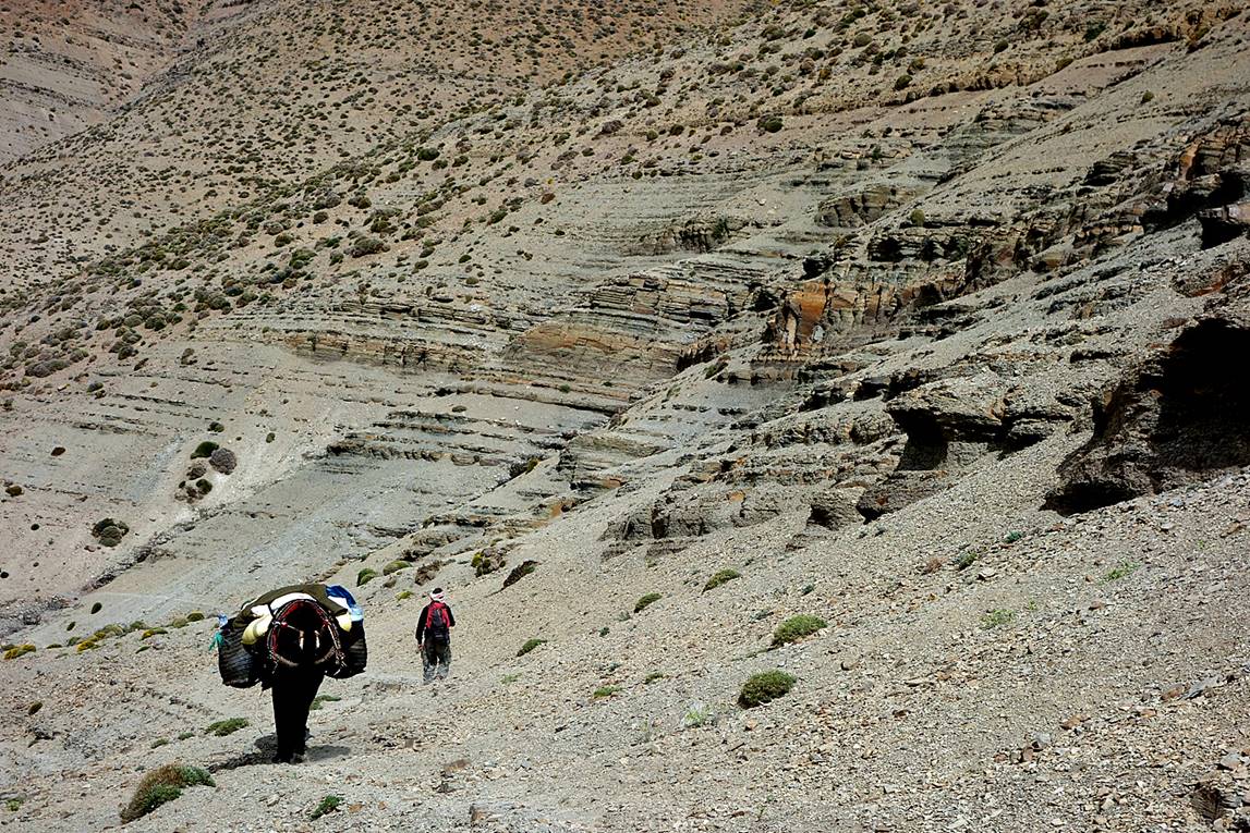
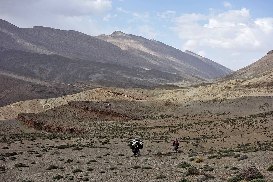
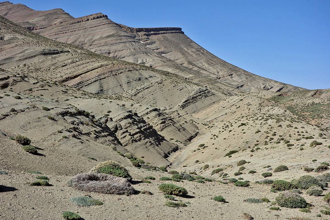
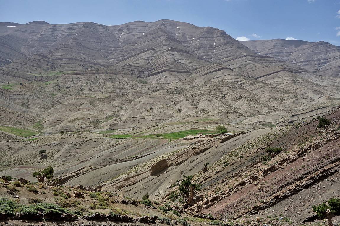
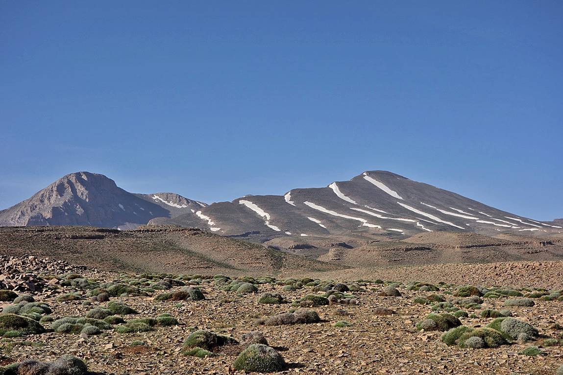
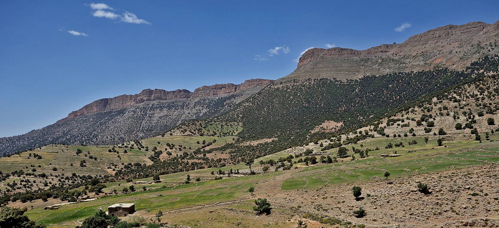
From Tizi n′Wadou it is a relatively long hike to the small
village of Tafraout, with many ups and downs between
Jebel n′Tarzilmine (on the south-east side) and
Jebel Tafraout (on the north-west side, with a small
snow cap in the first photo below), but with more great views.
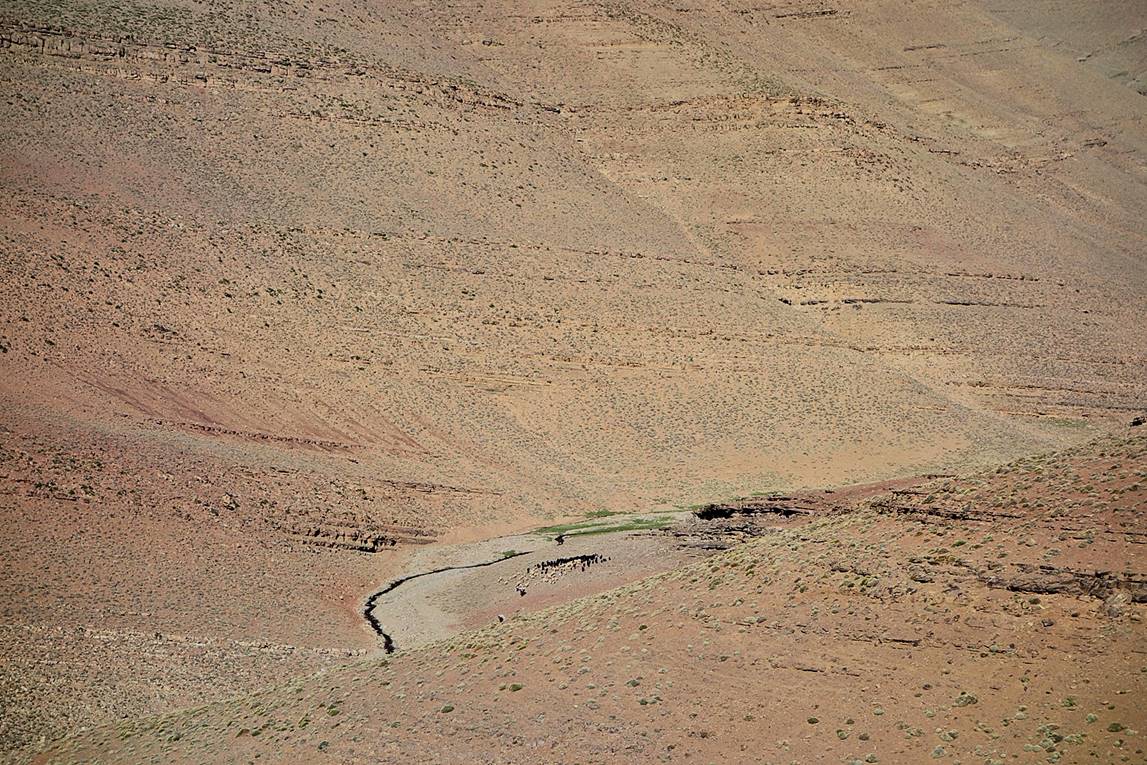
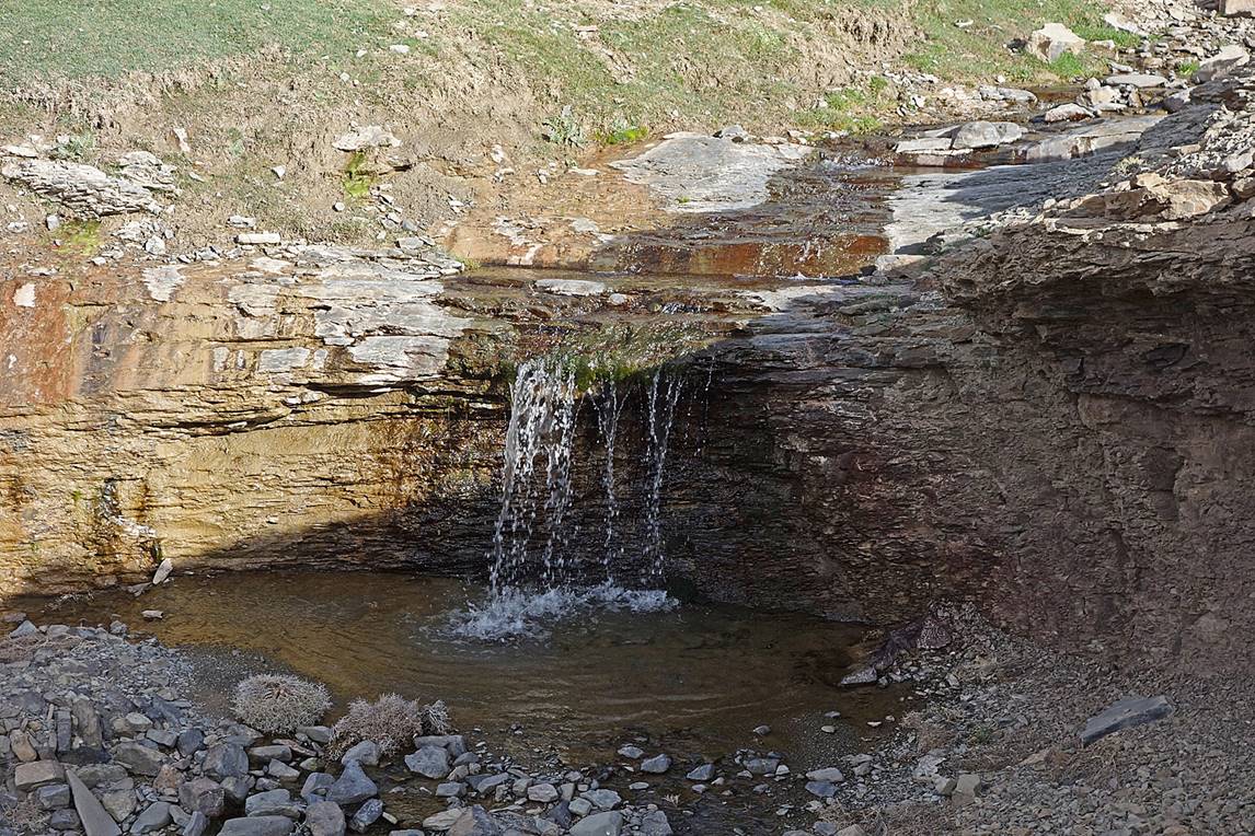
Despite the apparently very dry
environment, as is often the case in the High Atlas, we crossed a number of
pleasant streams. We set our camp #13 near one of them.
As we were getting closer to the village
of Tafraout, the scenery became a bit greener with
more trees.
|
|
|
|
Finally we could see the village of Tafraout (in the middle of the photo below).
Views of the small village of Tafraout and Jebel n′Ourkar
behind it.
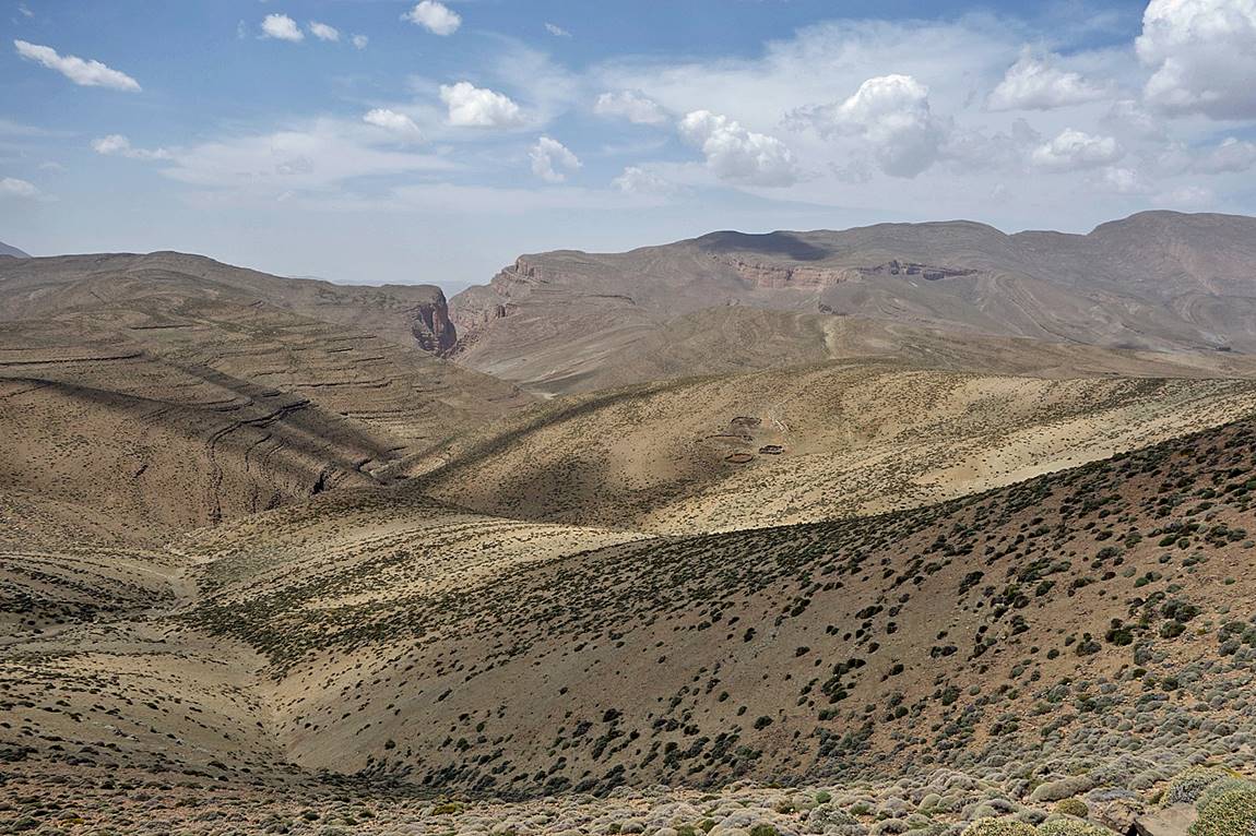
The entrance of the canyon of Assif n′Tafraout after we
passed the village. We did not follow this canyon, but instead turned left
(west) toward the Koucer Plateau and Zawyat Ahancal.
On the Koucer
Plateau (first photo), where we had our camp #14, and view of Jebel Tafraout from there (second photo).
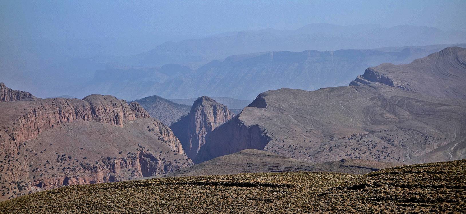
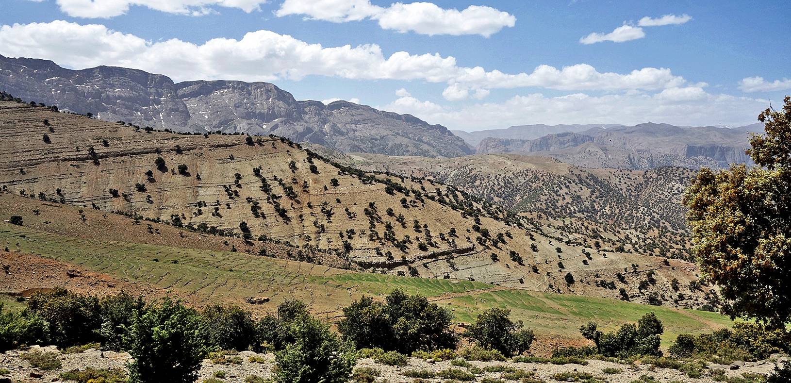
On the south-western edge of the Koucer plateau looking toward Taghia
Cirque (cliffs in the center of the photo) and Jebel Aroudane
(right). Zawyat Ahancal is
in the valley below Jebel Aroudane.
Successive views during the descent from
the Koucer Plateau.
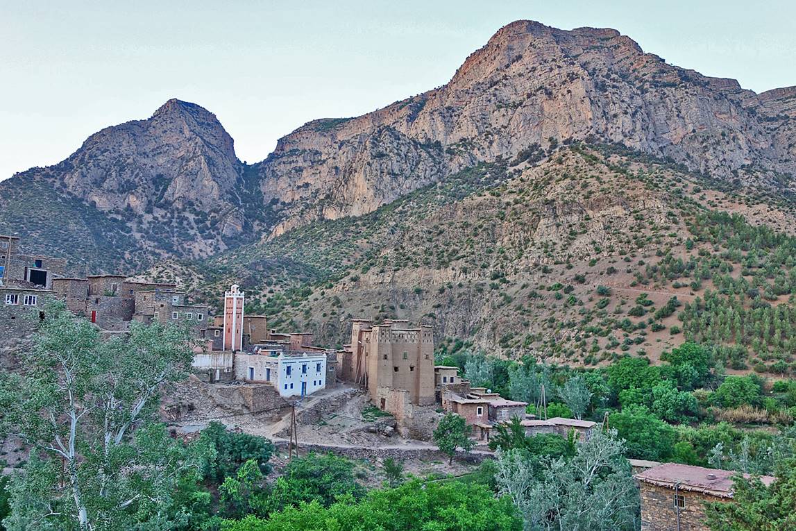
Approaching Zawyat
Ahancal.
Zawyat Ahancal in the early morning. We had set our camp #15 a
short distance from it. From Zawyat Ahancal I took a mini-bus to Azilal
and then a grand taxi to Marrakech. Ichou and Ahmed
went to Ahmed′s village (Ifrane in the Ait Bouguemez), one long hiking
day away. Ichou then returned with his mule to his
house in the n′Ouarg valley of Jebel Sahro, where he married his daughter a couple of weeks
later.
Click on the following links to see photos of other sections of the trip:
- Jebel
Sahro, Part 1: from n′Ouarg
Valley to Tizi n′Tagourt,
- Jebel
Sahro, Part 2: from Tizi n′Tagourt to Qalaat Mgouna,
- Central
Atlas, Part 1: from Qalaat Mgouna
to Assif Imejdag.
![]()