Mount Shasta,
California (2004 & 2006)
Return to my mountaineering/trekking/travel webpage
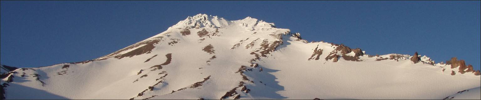
Mt. Shasta, a 4322m volcano in northern California, provides
great climbing routes on all its faces, on foot as well as on ski. I have
climbed Shasta many times, often to start acclimatizing before traveling to higher
peaks. This page combines pictures taken during two trips: in 2004 (with my
daughter Laurence, on the Avalanche Gulch route) and in 2006 (with Frederic Cazals, on the West Face Gully route).
Map showing Avalanche Gulch route
(red) and West Face Gully route (green). The initial and final sections of the
two routes are the same.

Start of the ascent at Bunny Flat.

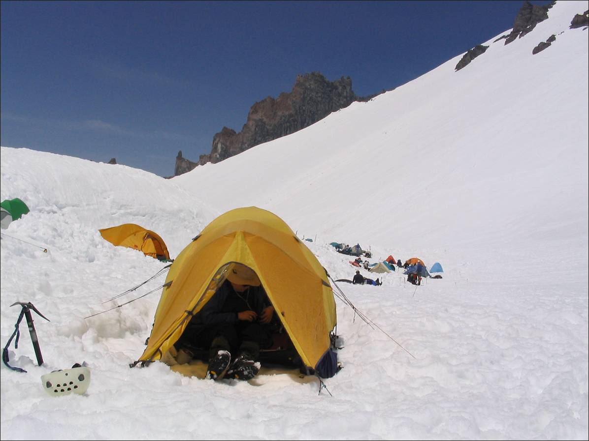
Camp at Helen Lake
(Avalanche Gulch route).
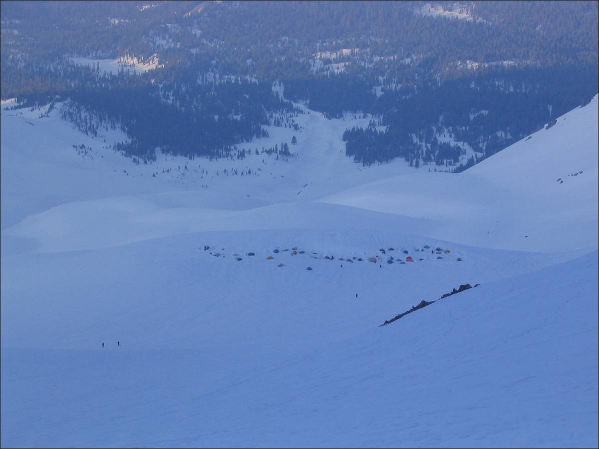
View over the camp at Helen Lake while
ascending Avalanche Gulch in the early morning.
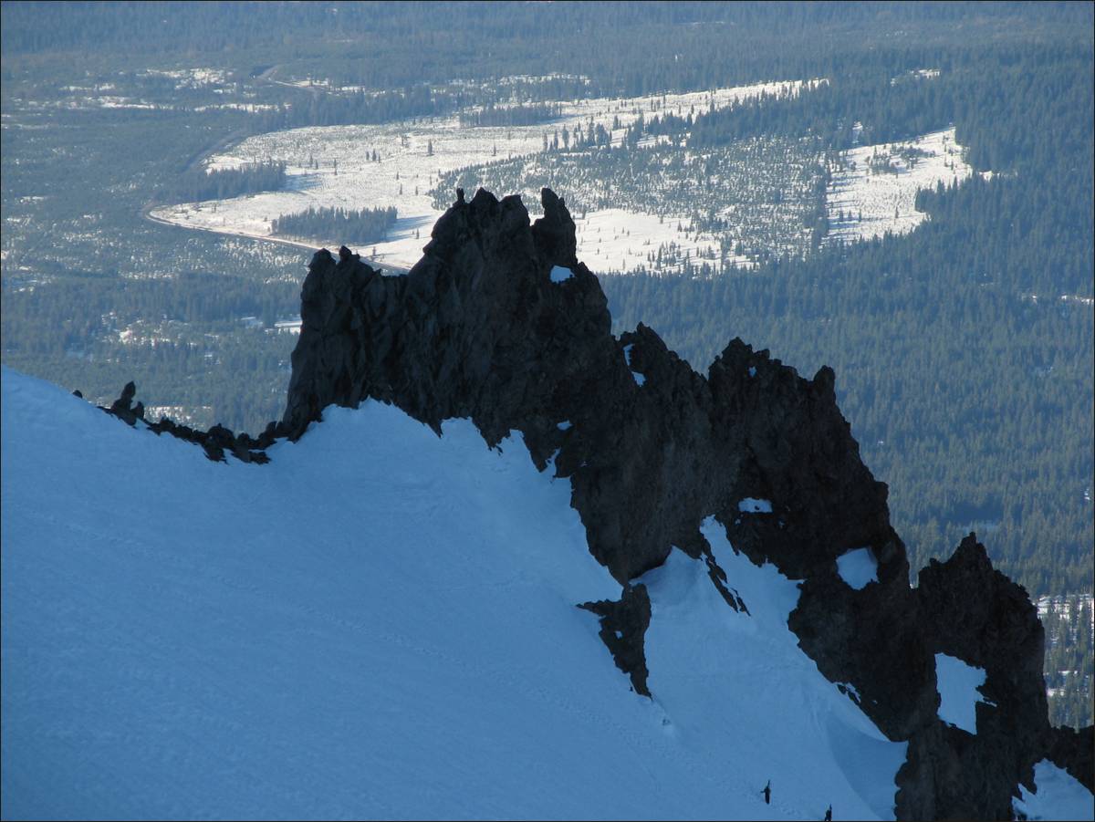
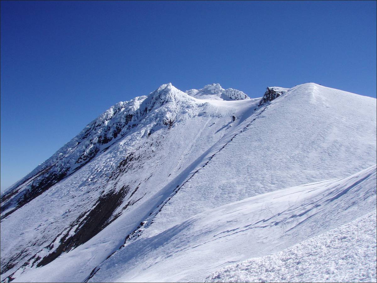
Above the Red Banks
(rock band at the top of Avalanche Gulch) below Misery Hill.
Our camp at Hidden
Valley (West Face Gully route) in the late afternoon.
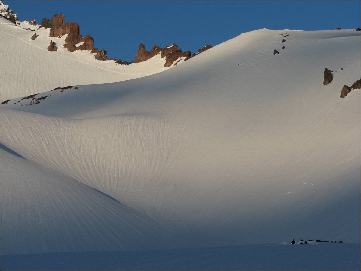
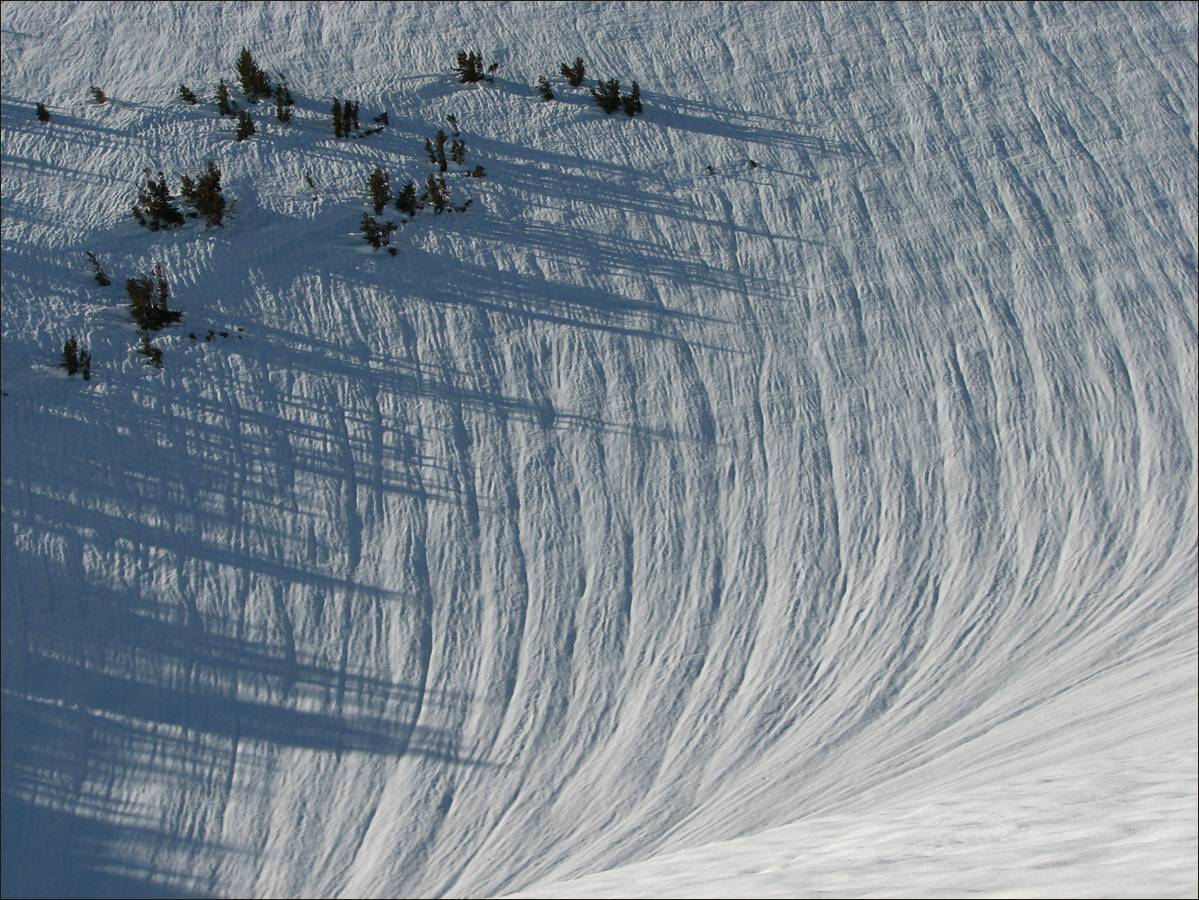
Pattern in the snow
created by wind and sun near Hidden Valley camp.
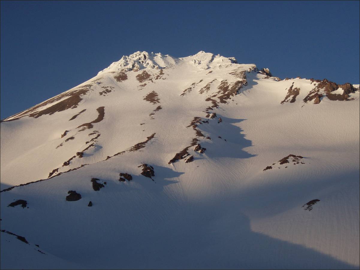
Mt. Shasta seen
from Hidden Valley camp in the late afternoon.
View over Casaval
Ridge during the ascent from Hidden Valley camp.
Reaching the top of
West Face Gully.
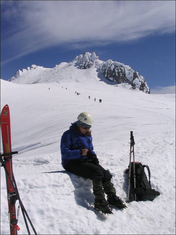
Near the top of
Misery Hill, with the Trinity Alps in the background.
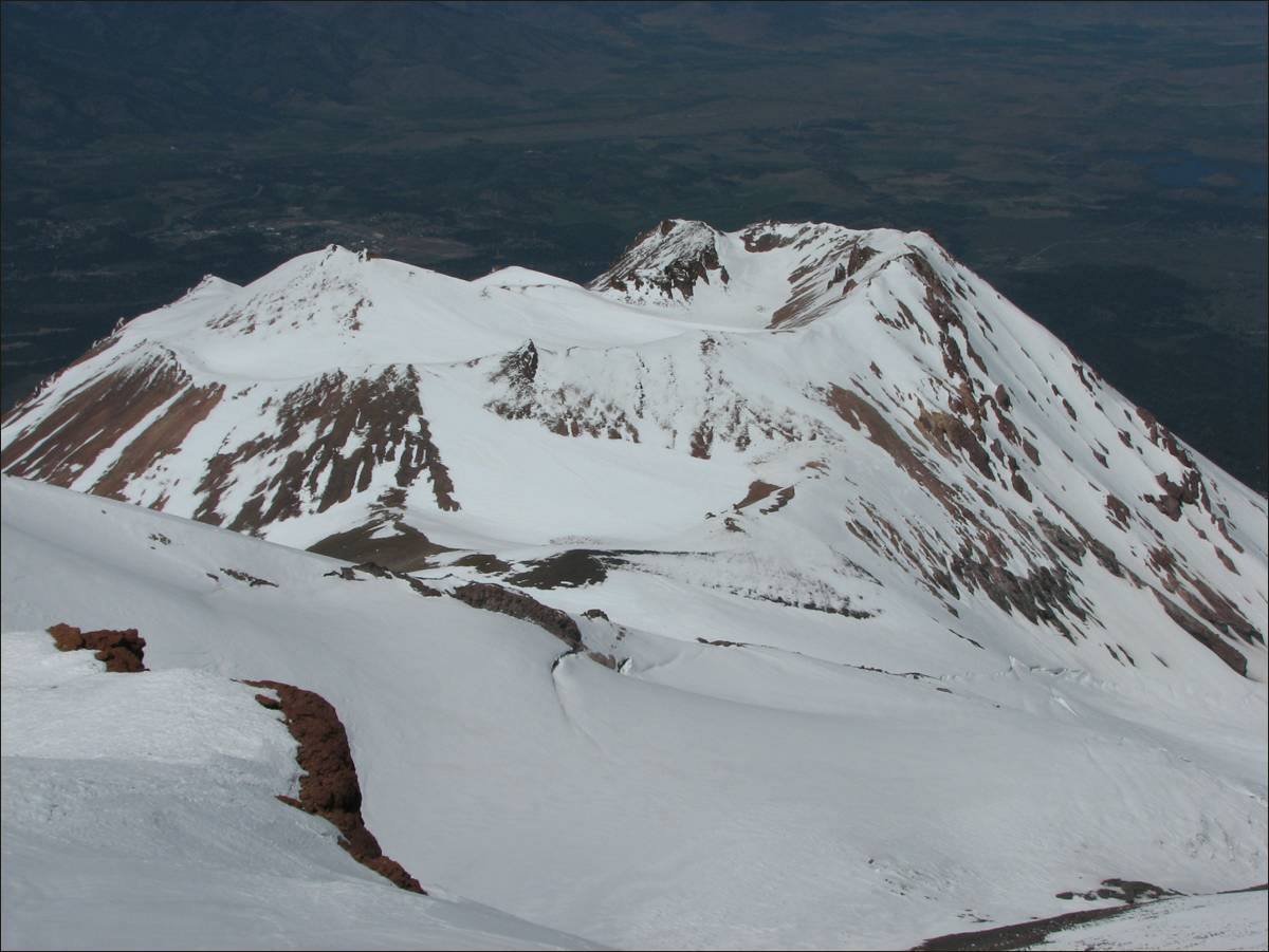
Mt. Shastina seen from the top of Misery Hill.
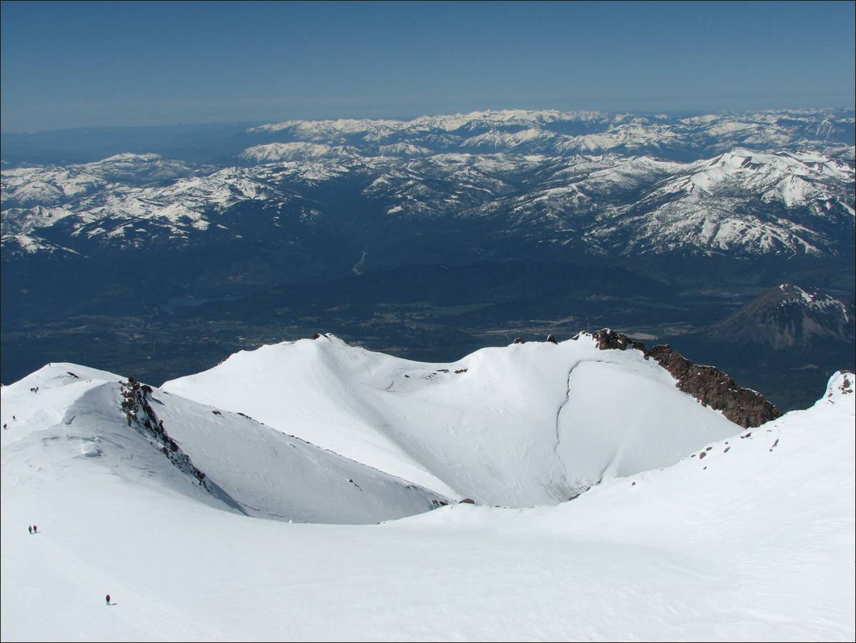
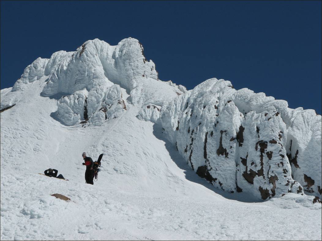
On the rim of the
Shasta crater, below the highest rocky outcrop blanketed by snow (Mt. Shasta
summit).
|
|
|
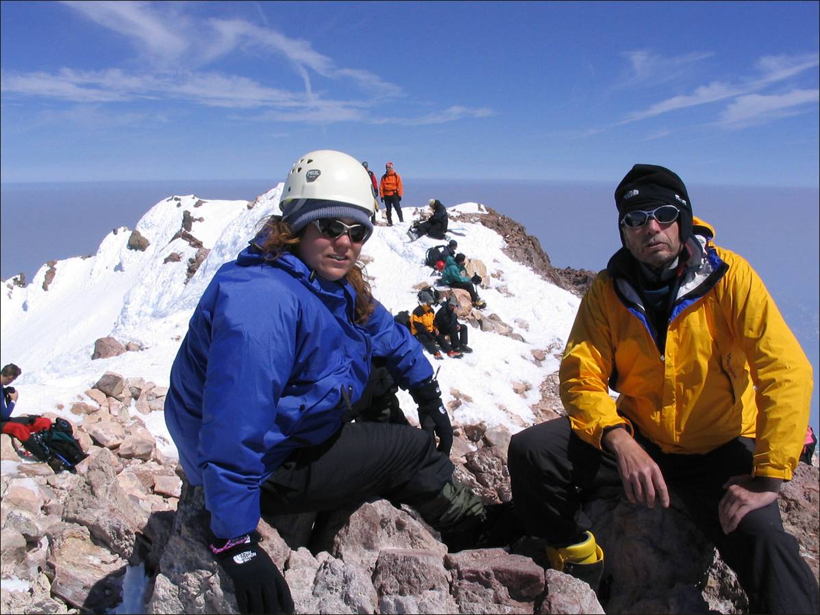
At the summit.
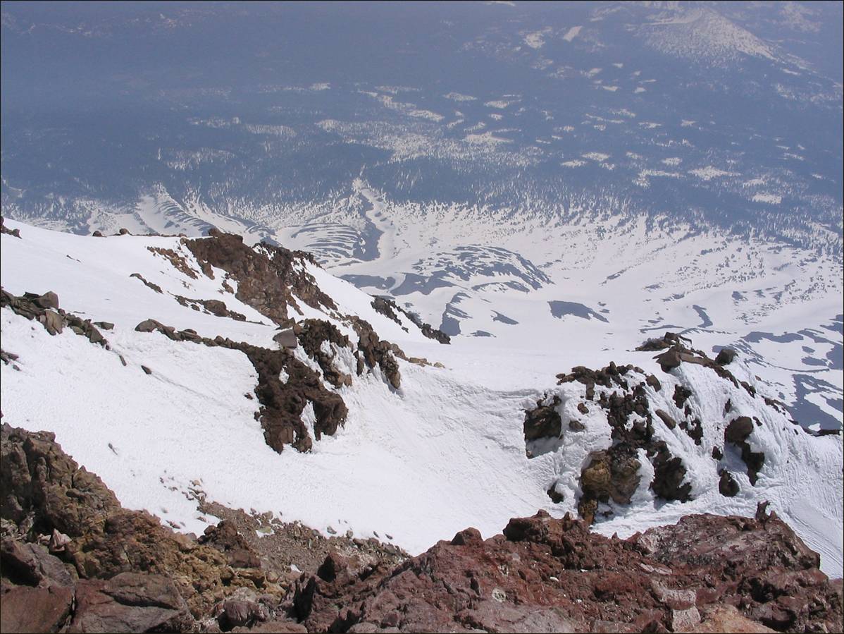
View from the summit toward the
north.
![]()