Central High Atlas: Taghia, Koucer, Assif Melloul (September 2005)
![]()
Return to my
mountaineering-trekking-travel webpage
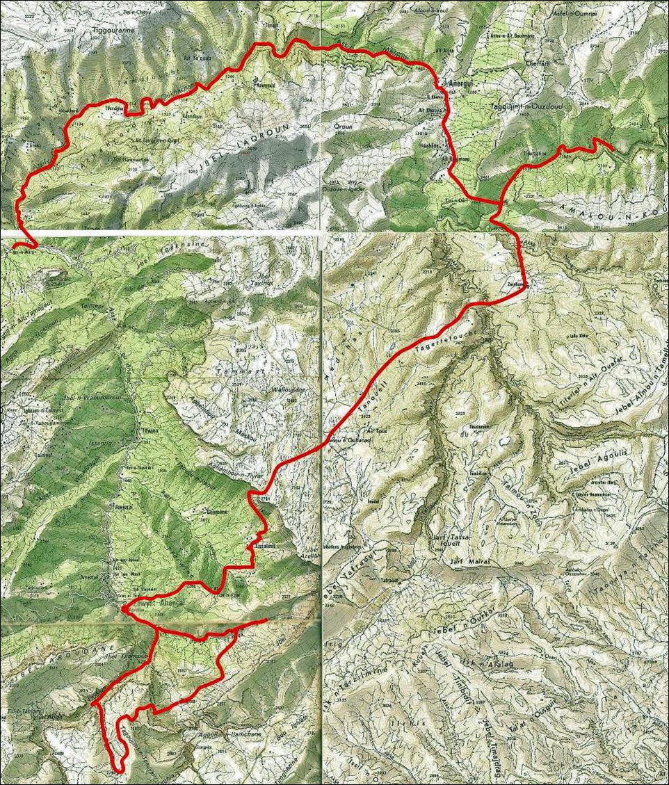
The itinerary of this trek
is shown in red line in the map below. Click here to get a higher resolution map.
A good source of
information for this trek is Montagnes du Maroc, by Herve Galley,
Editions Olizane, Geneve,
Suisse, 2004. ISBN 2-88086-302-3 (in French).
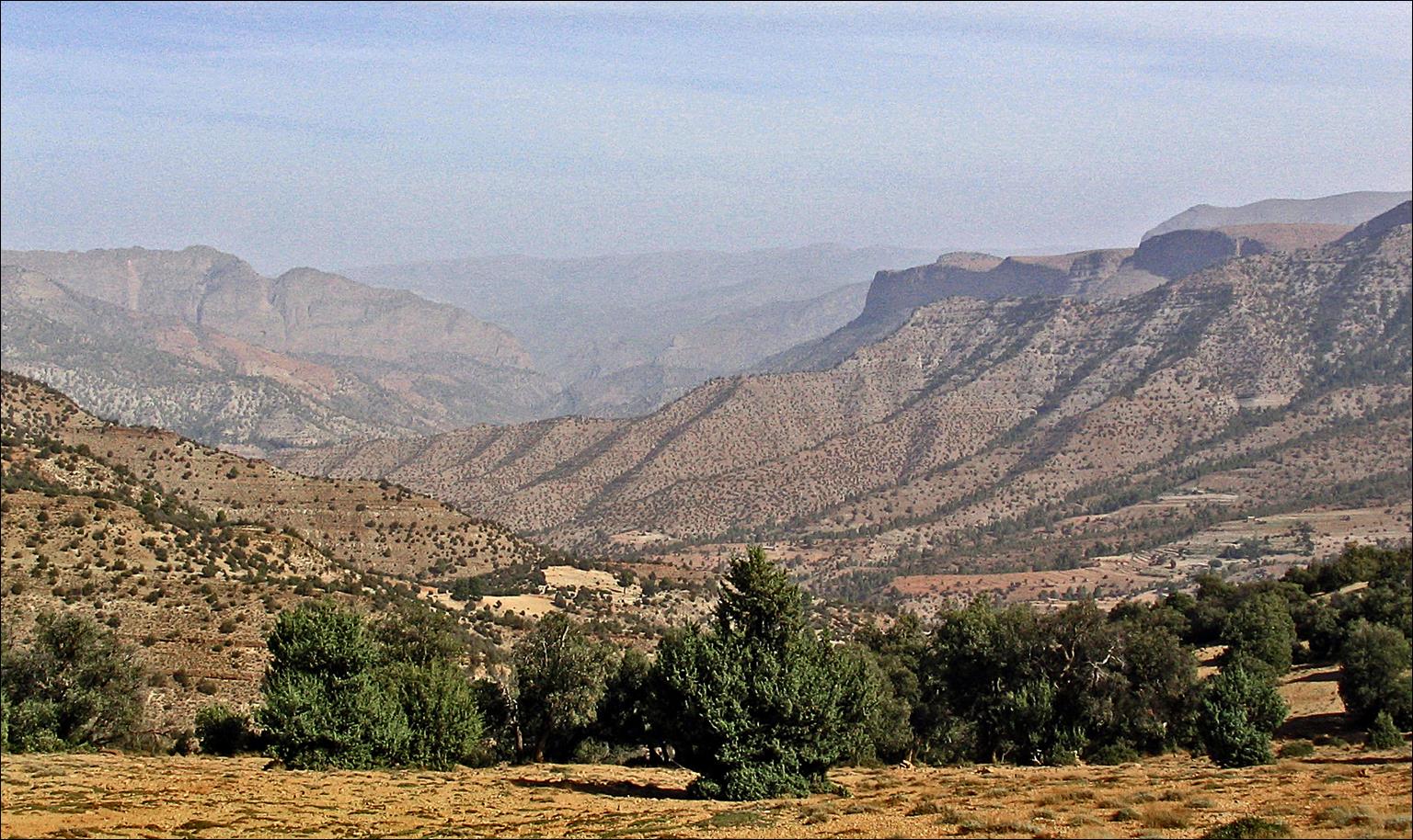
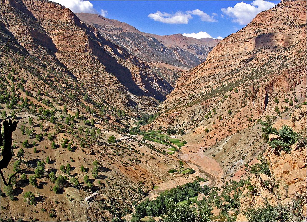
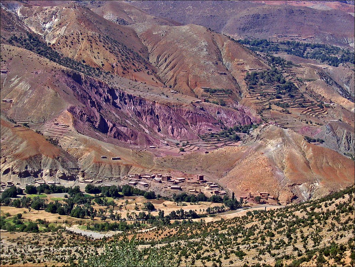
Valley of Assif n-ou-Ahancal
seen from a location near Zawayat Ahancal.
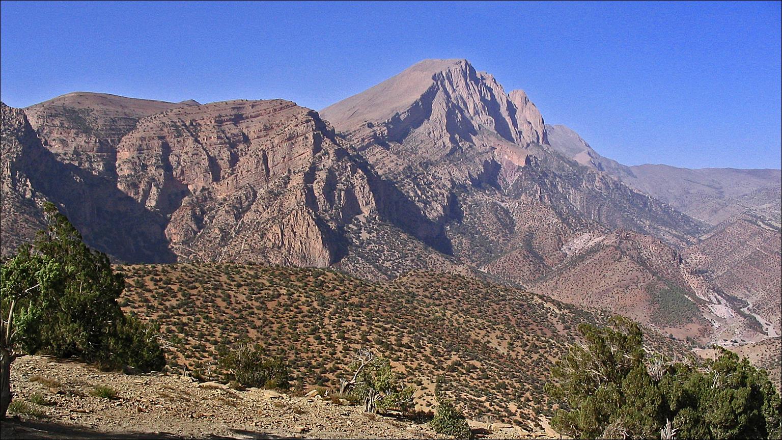
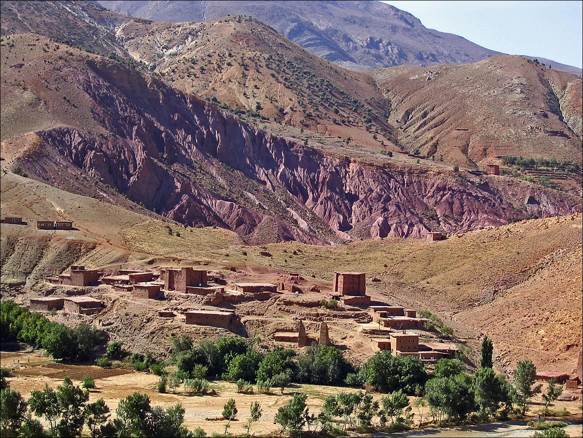
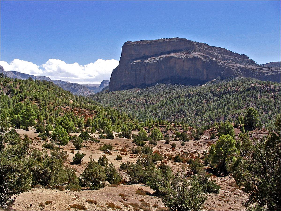
North face of Djebel Aroudane (3359m) above Zawayat Ahancal.
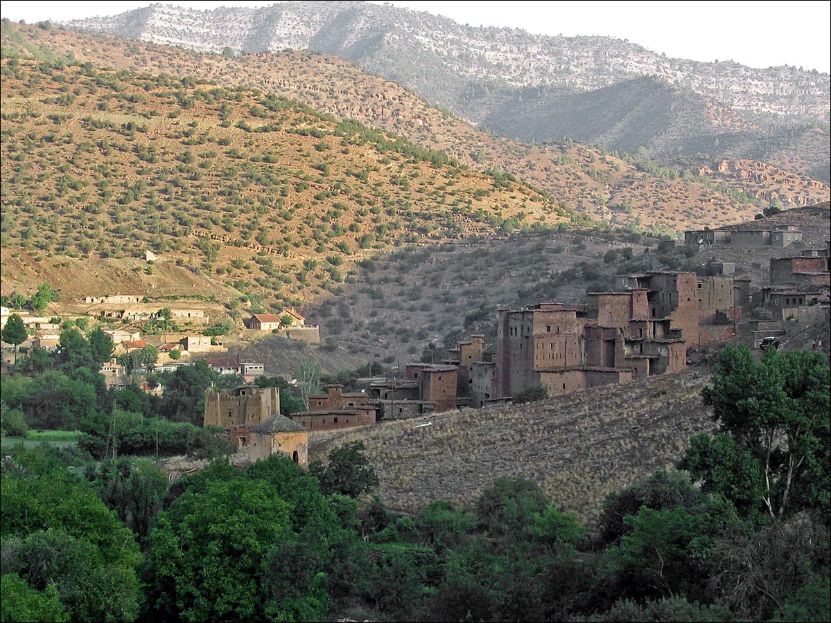
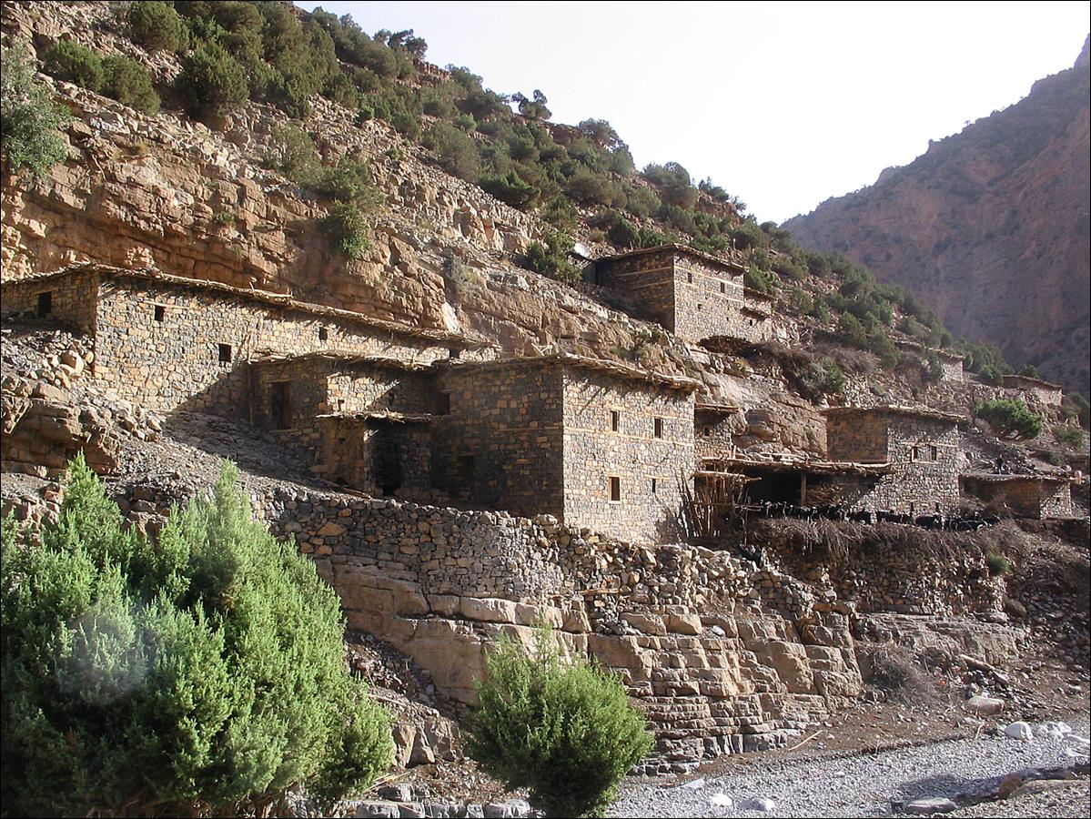
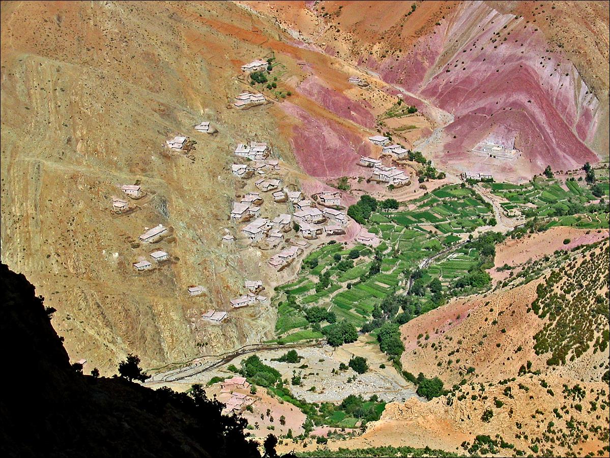
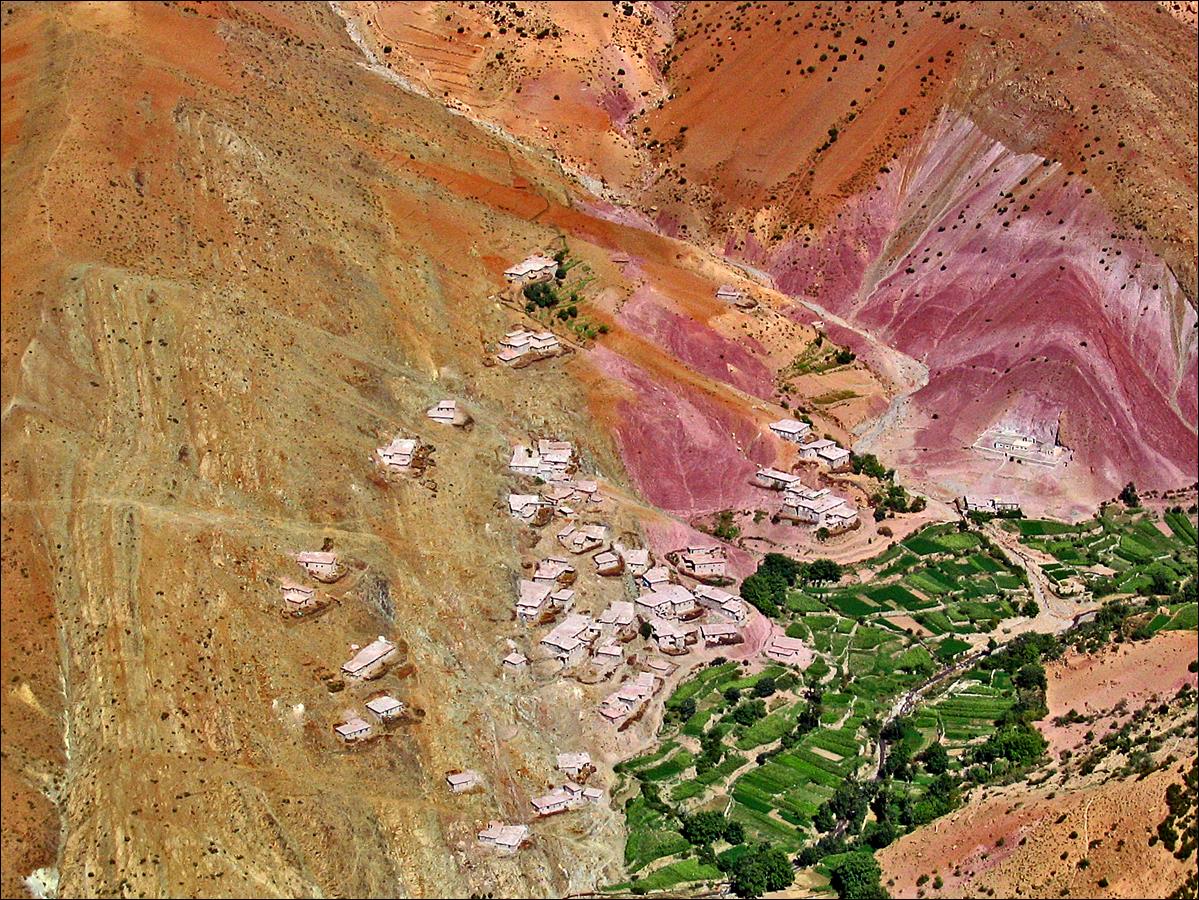
Village of Agoudim in the morning (start of the trek).
Azibs (shepherd houses) of Imi n′Tazart at the
entrance of Aqqa n′Tazzart
(canyon of Tazzart).
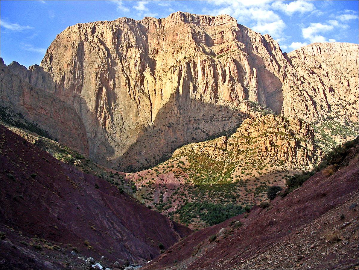
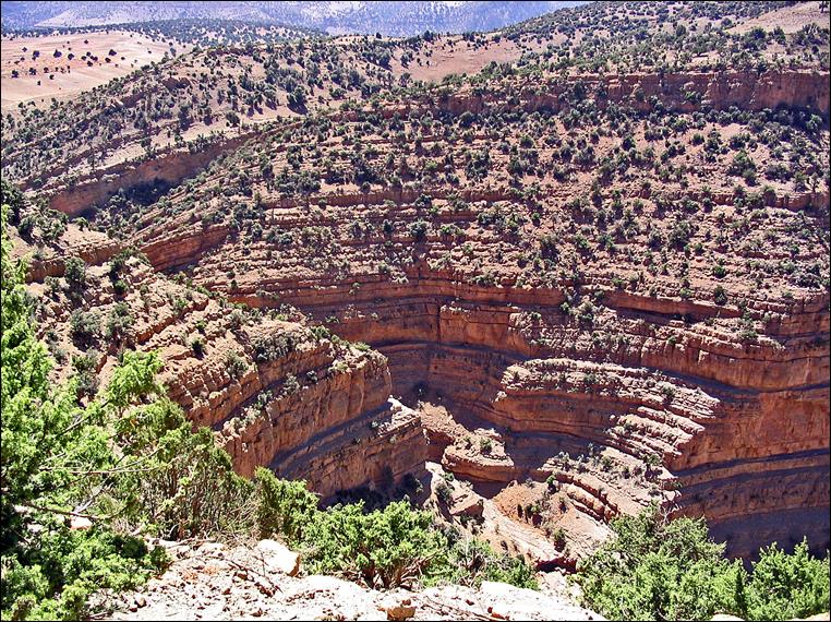
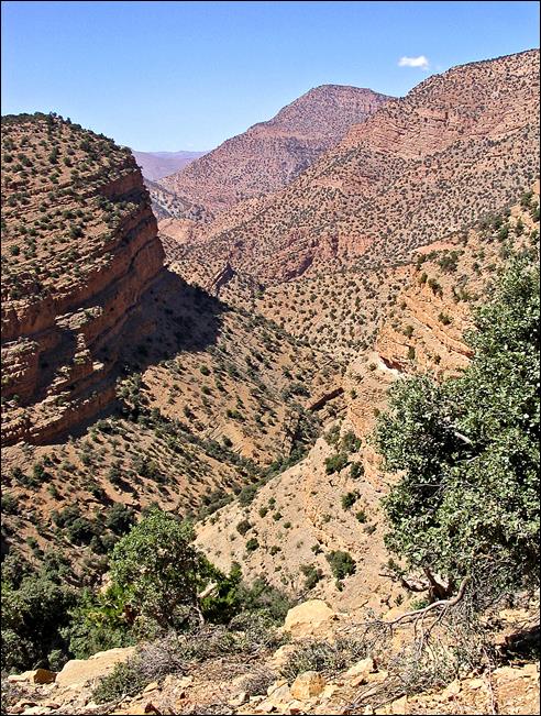
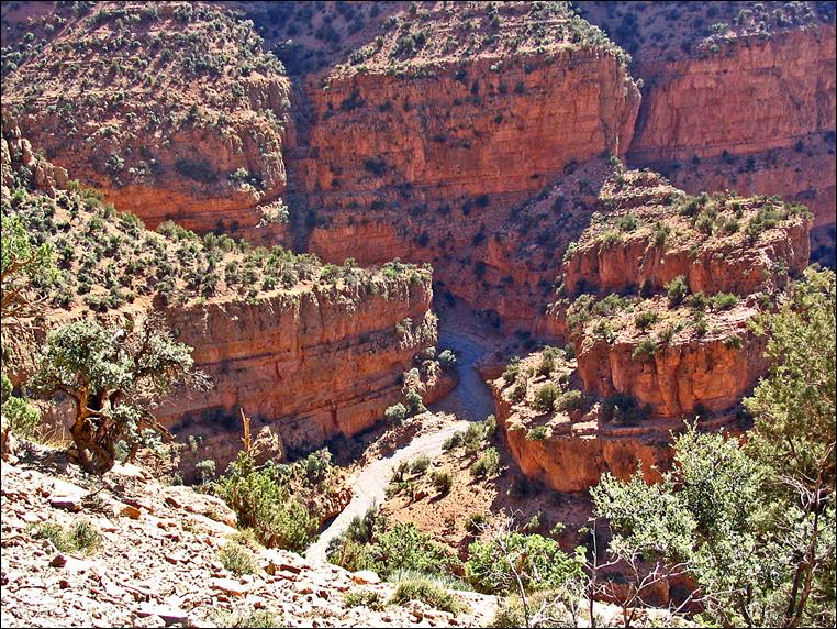
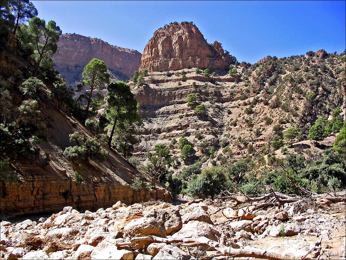
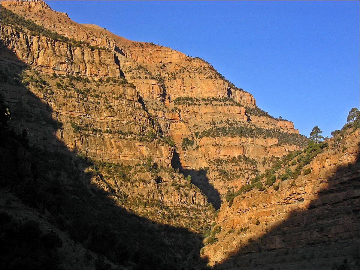
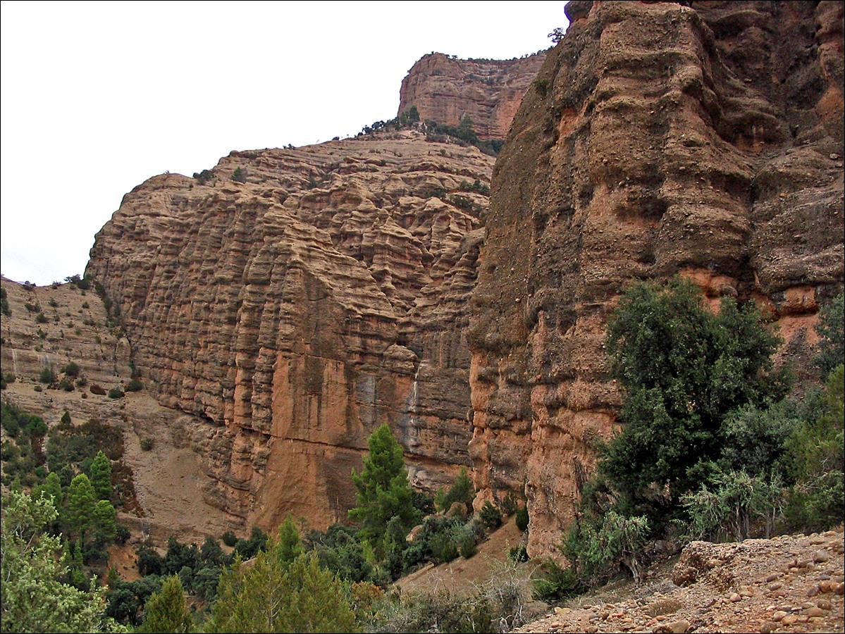
Views of Aqqa n′Tazzart. In some
locations the canyon‛s sides are several hundred meters high.
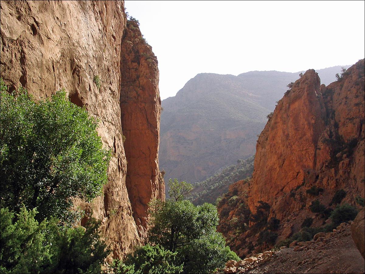
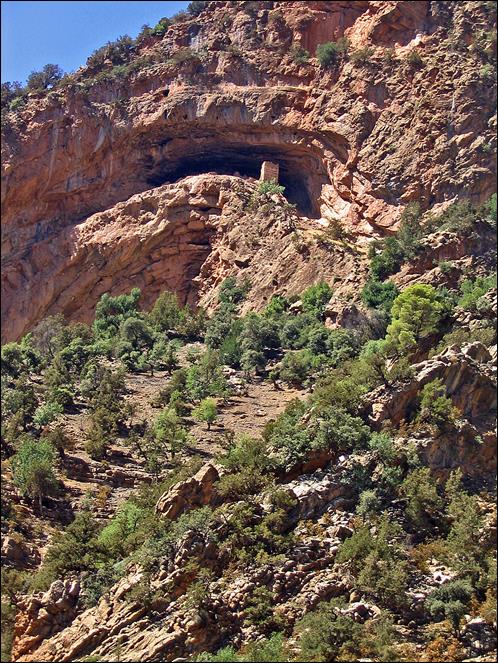
The upper portion of Aqqa n′Tazzart requires
technical climbing and ropes. Instead, I climbed an easy smaller canyon leading
to the high plateau of Almou n′Toucht
(populated during the spring and summer by the Aїt
Atta, a nomadic Berber tribe coming from the Jebel Sahro).
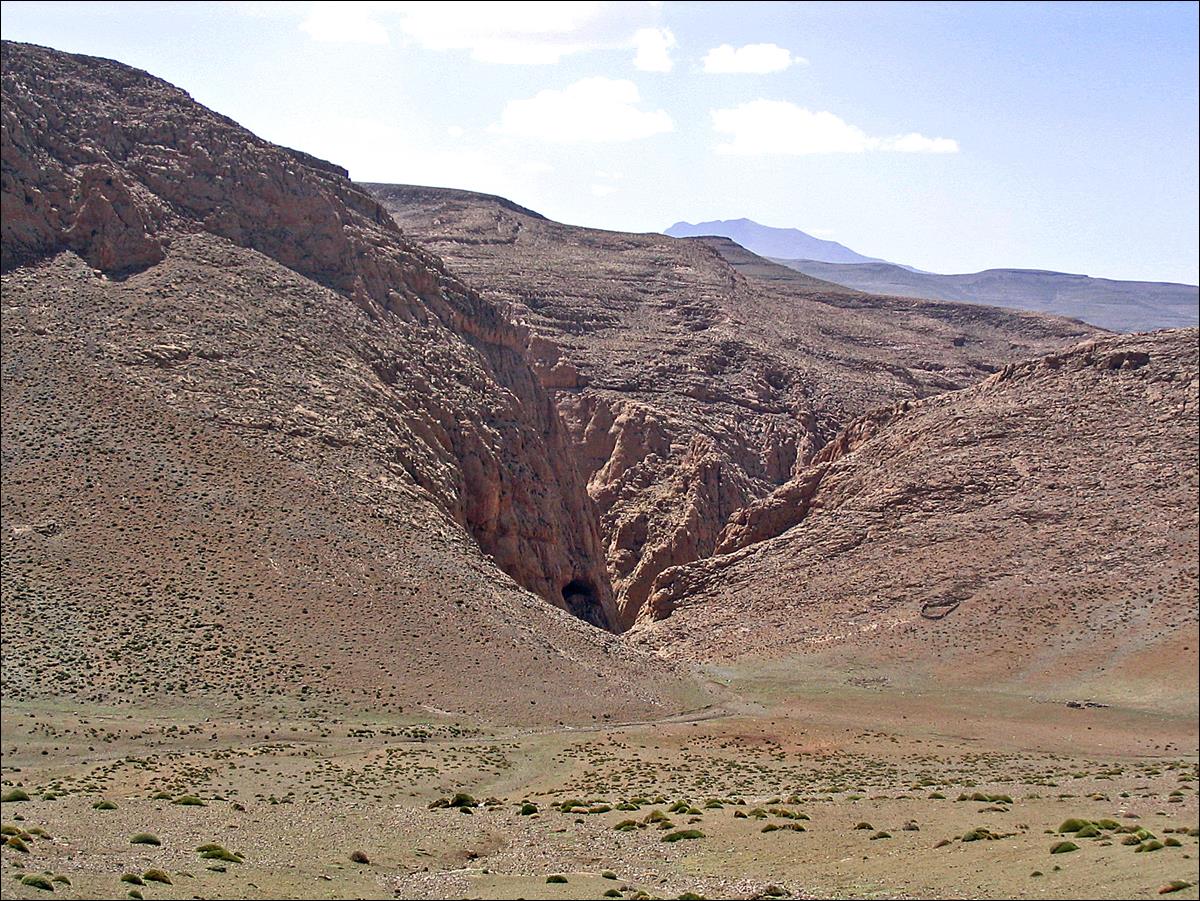
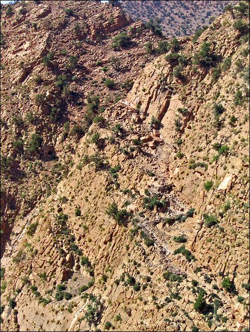
The photo below (which points toward the north) shows the entrance of this smaller
canyon from the plateau. It truly looks like a sink! During heavy rain storms,
it brings a large amount of water down into Aqqa n′Tazzart.
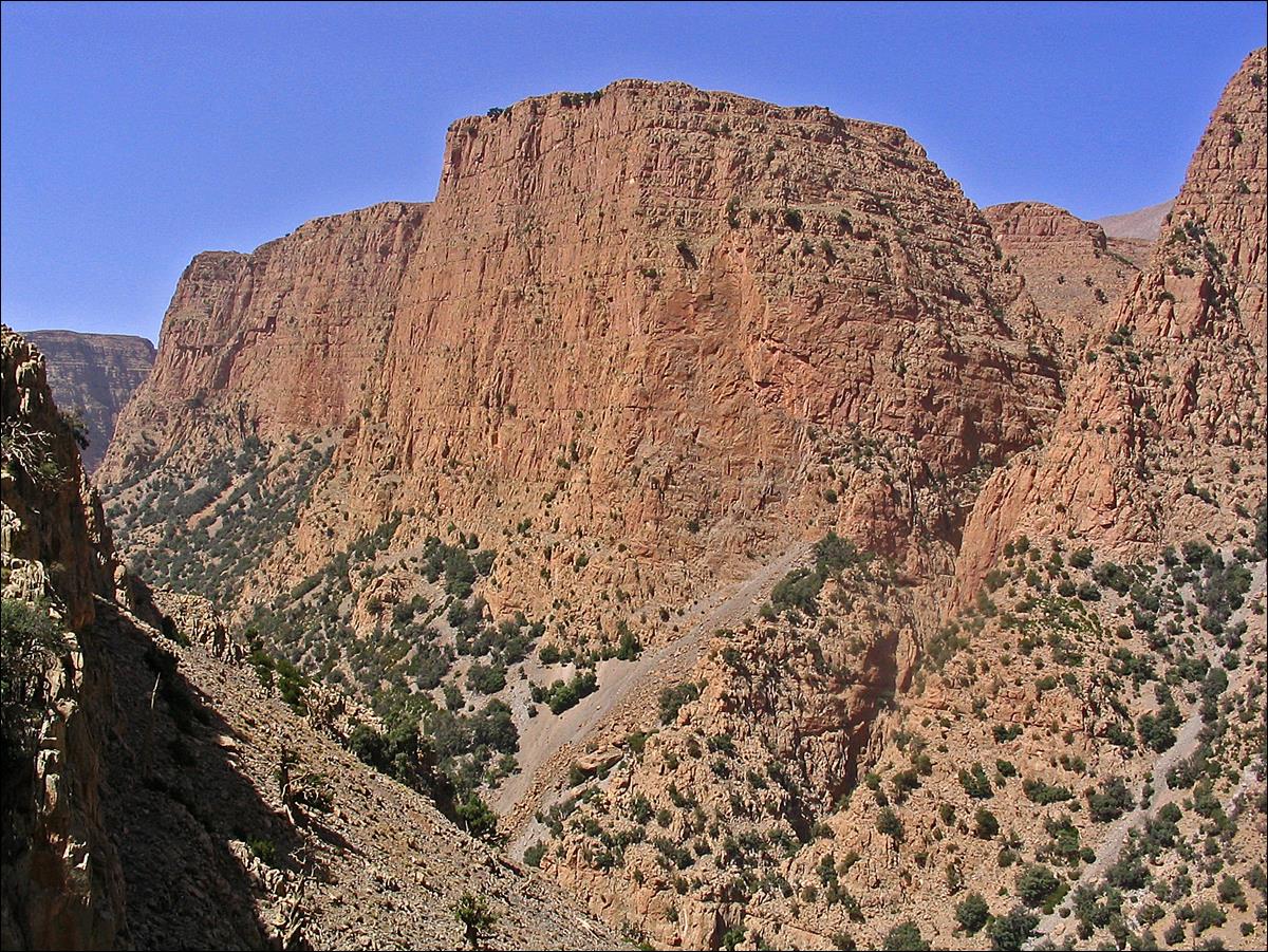
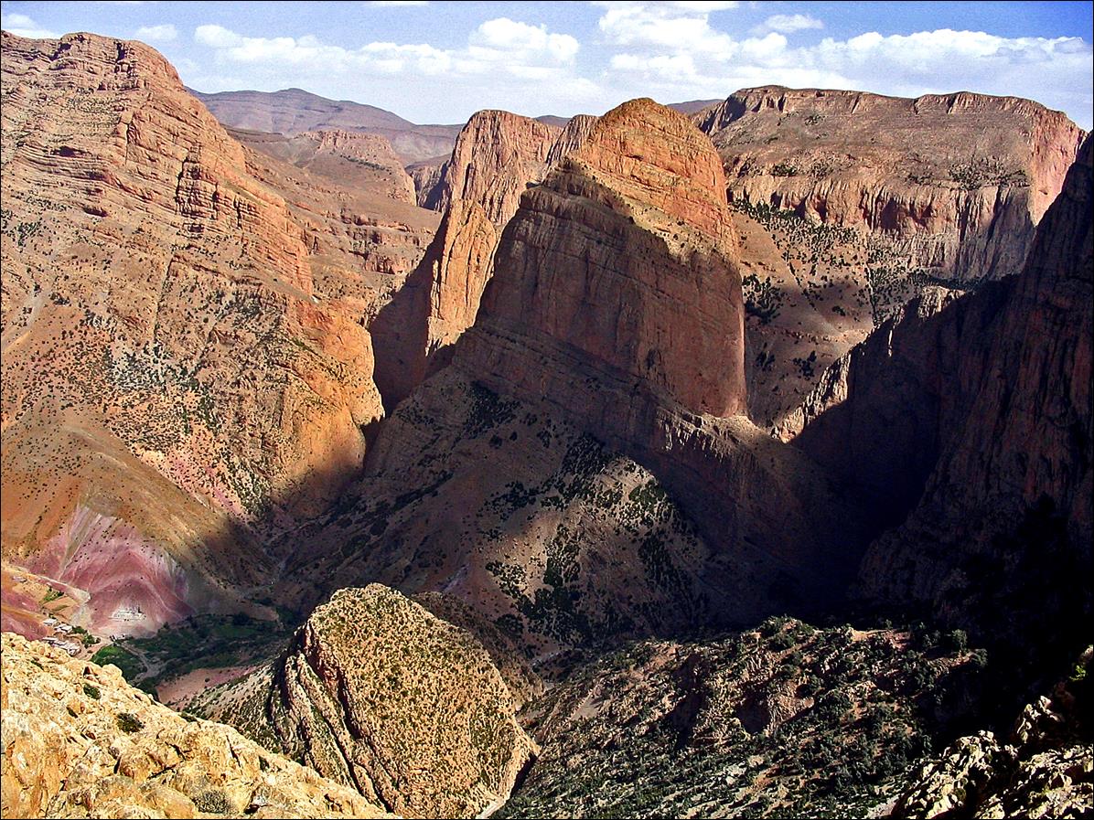
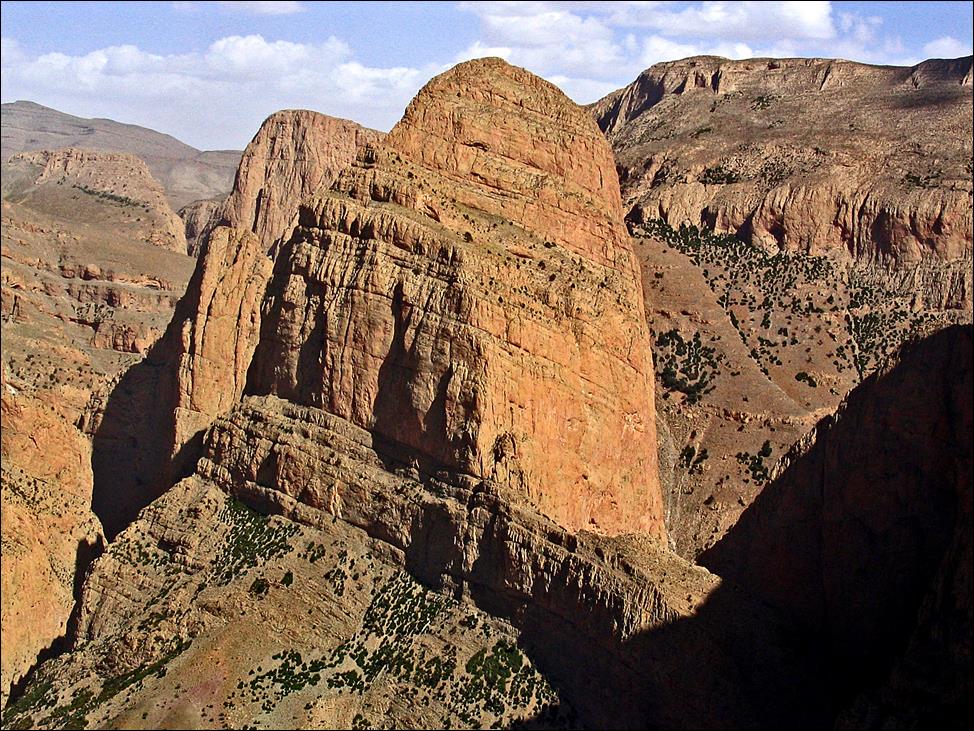
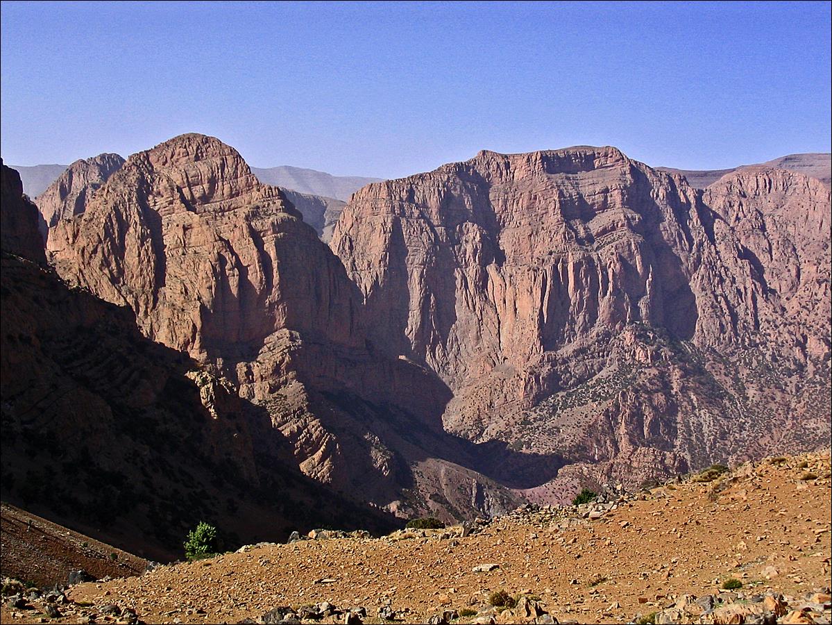
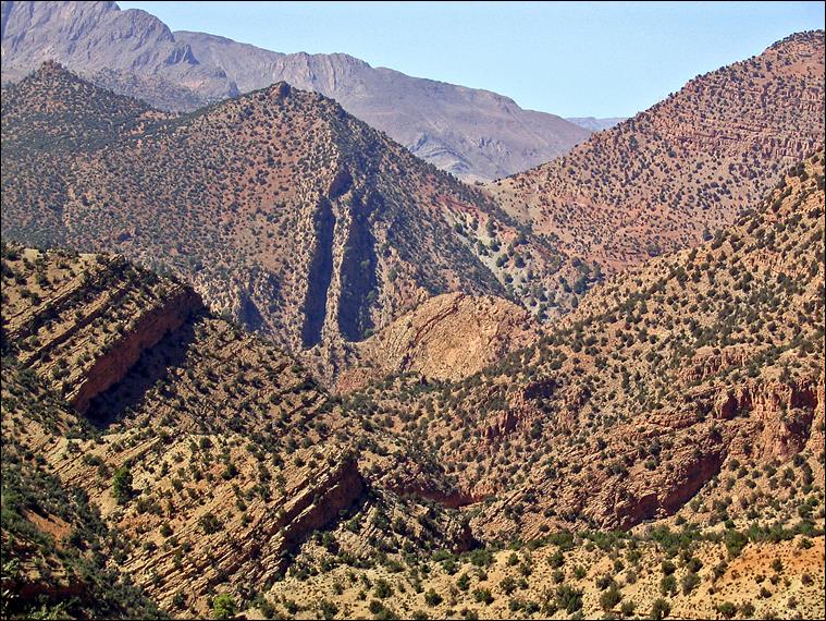
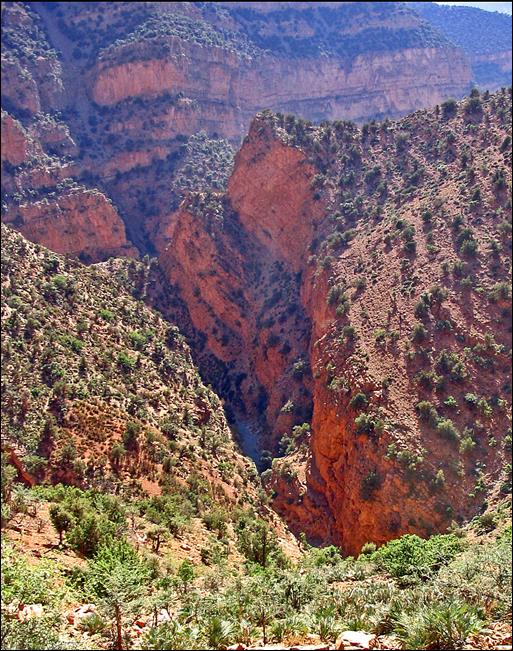
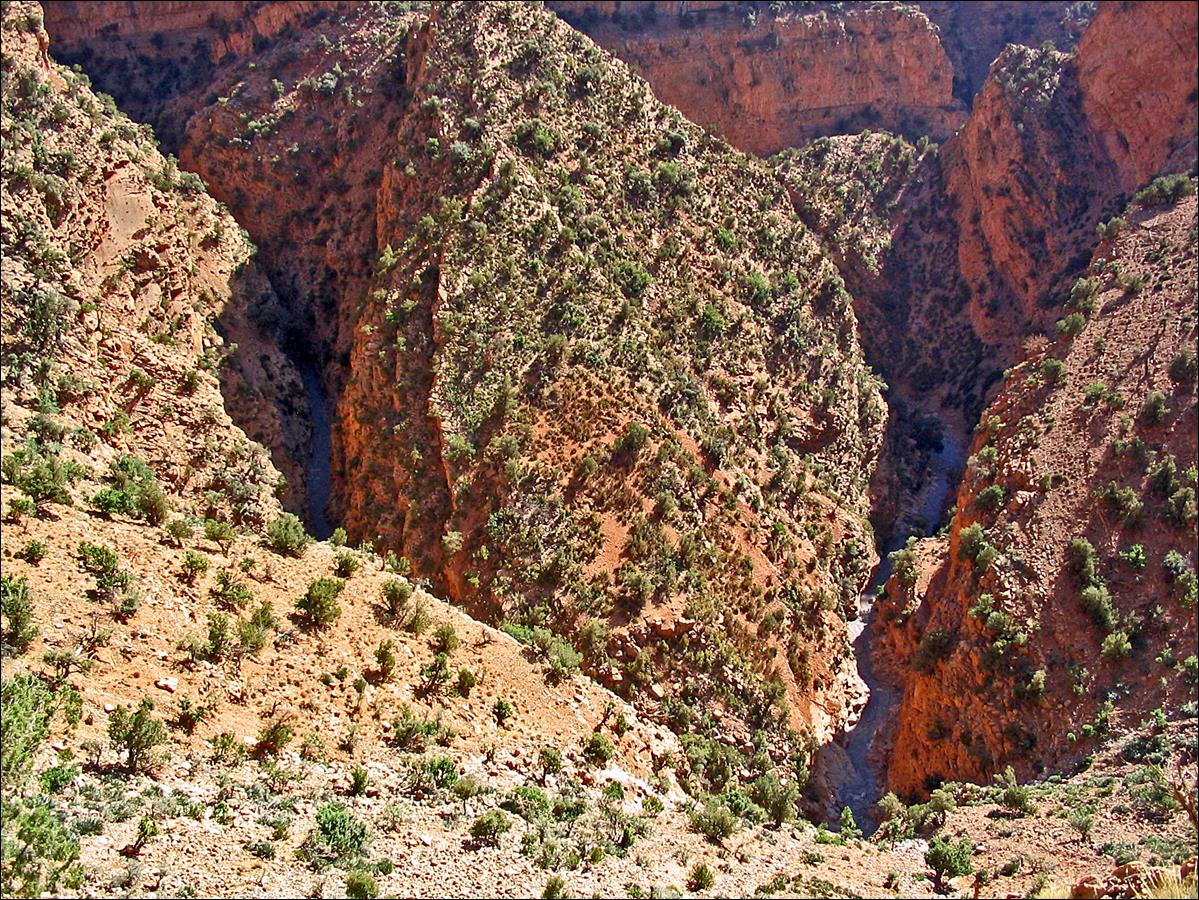
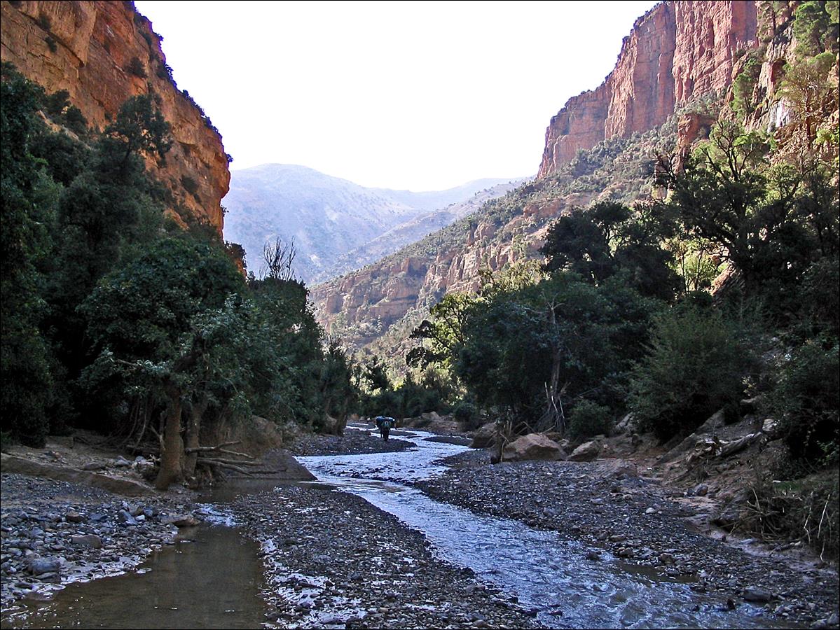
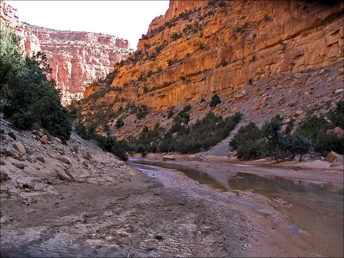
The cirque of Taghia, as it suddenly appears at the top of the so-called ′′corkscrew′′
trail (in French, ″sentier du tire-bouchon″). The two large canyons on the two sides of
the central rock dome are Aqqa n′Taghia
and Aqqa n′Kandate.
Like Aqqa n′Tazzart,
they are several hundred meters deep and very narrow in some places.
|
|
|
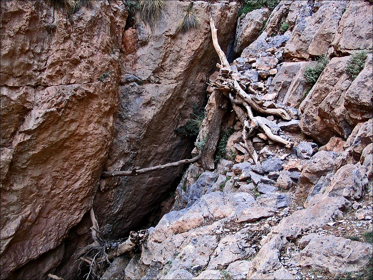
On the corkscrew trail.
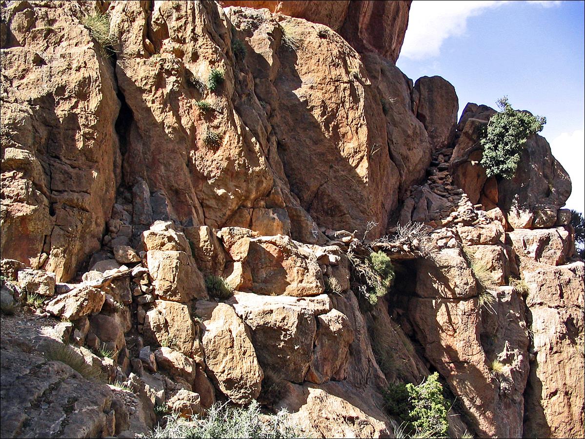
The corkscrew, a
helicoid-shaped trail section made of tree logs and built in a narrow gulley,
after which the whole trail is named.
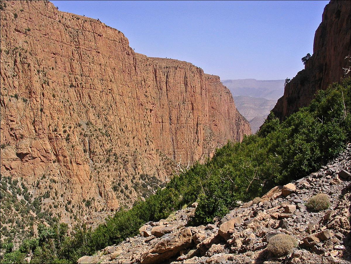
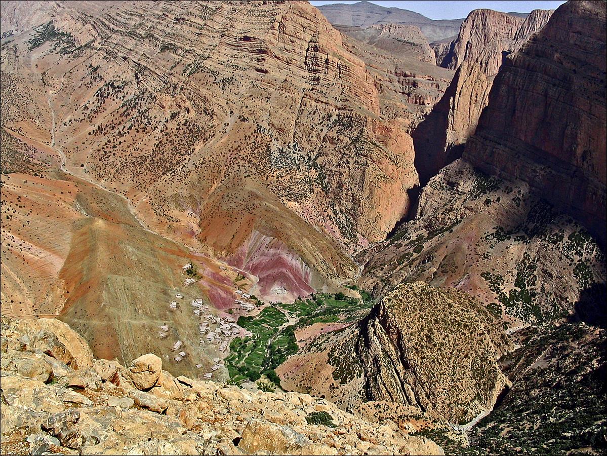
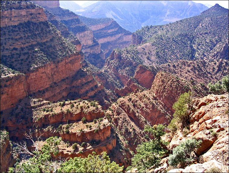
Views over the village of Taghia during the descent.
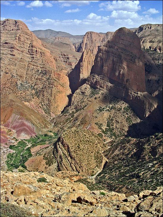
Views of the Taghia cirque from the opposite side.
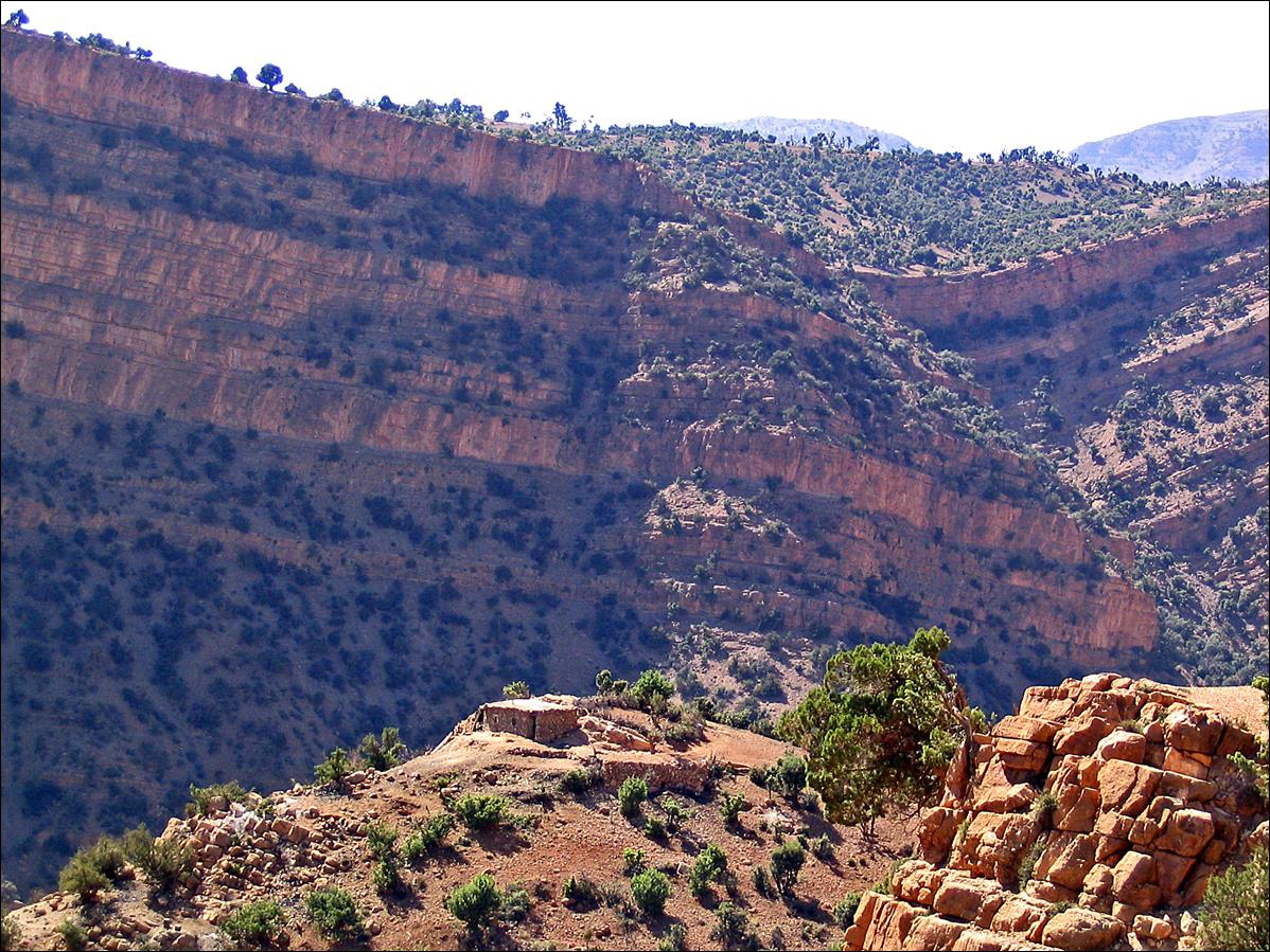
Aguerd n′Isfoula
(the saddle that separates the Taghia cirque from the
Aqqa n′Toughed). The Koucer plateau lies at the top of the right range in the
background of the photo.
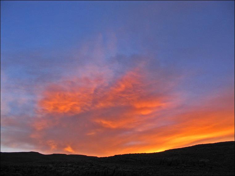
View of Jebel Tafraout from Aguerd n′Isfoula.
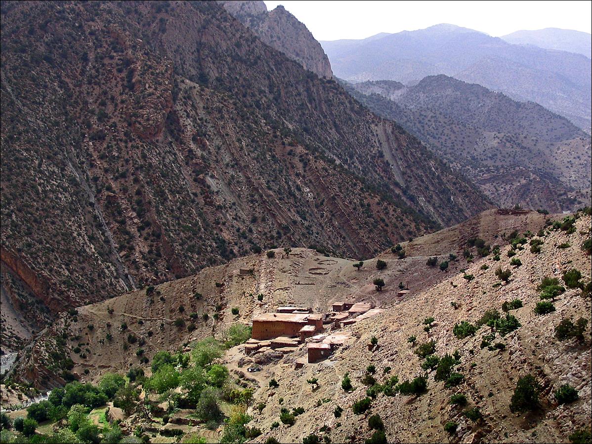
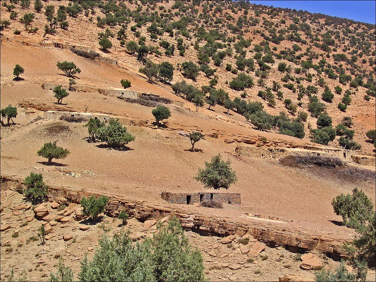
Village of Toughed.
Houses below Toughed.
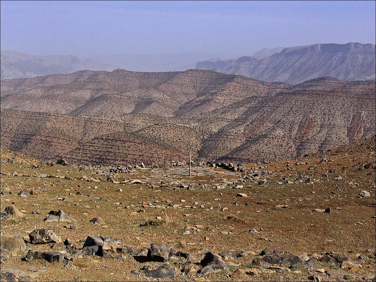
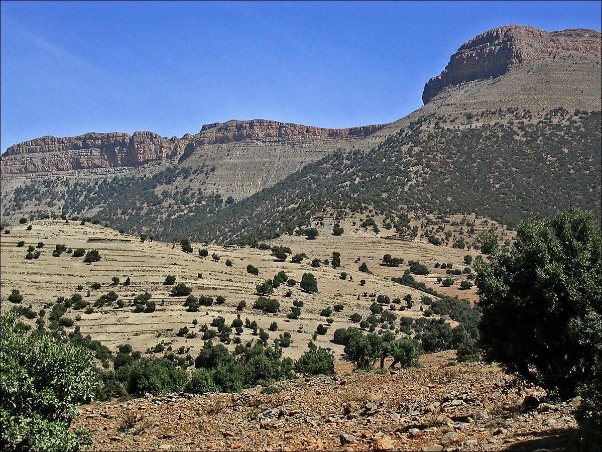
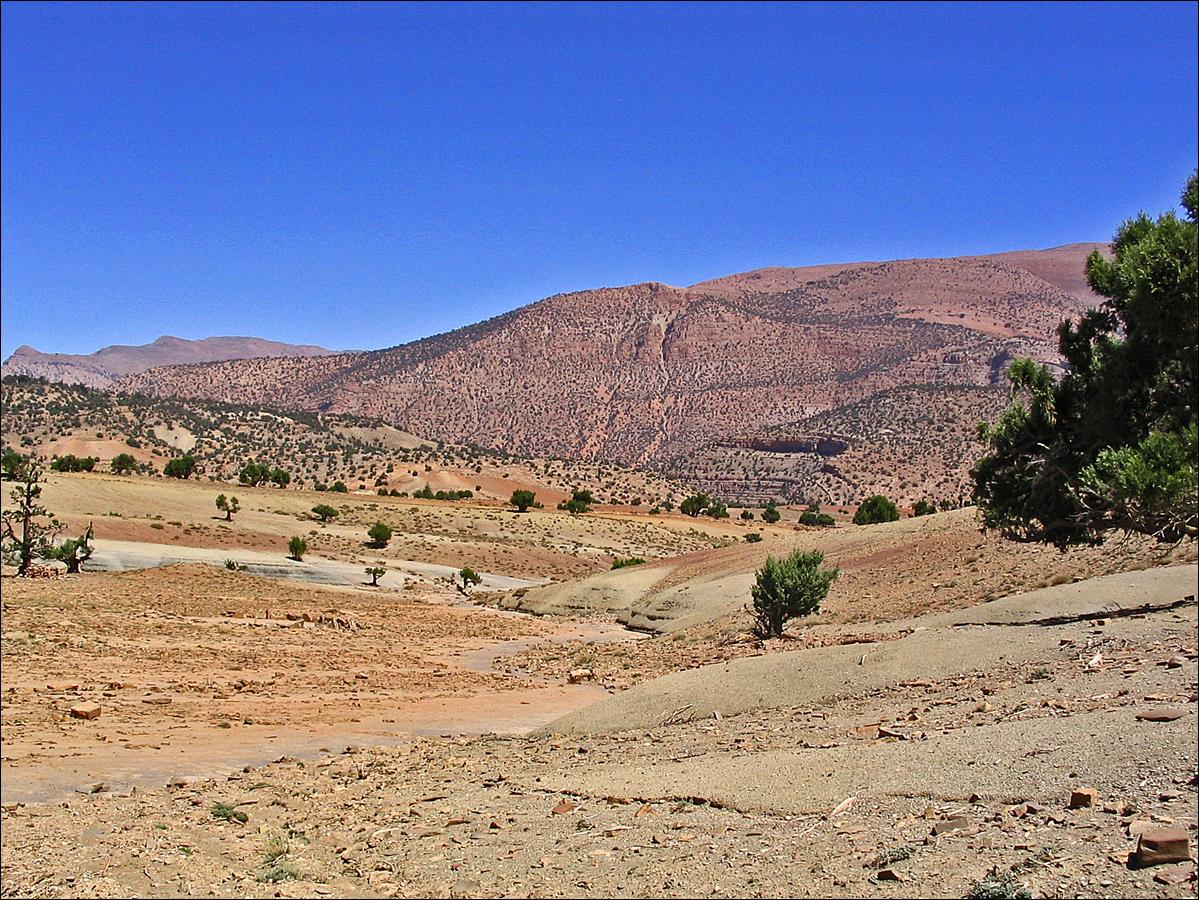
Views of the
high Ahancal region above Agoudim.
The Koucer plateau is beyond the top cliff in the
background.
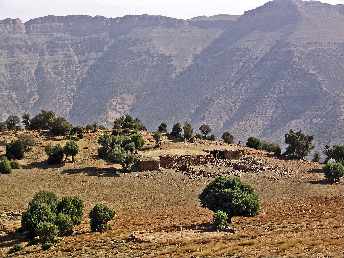
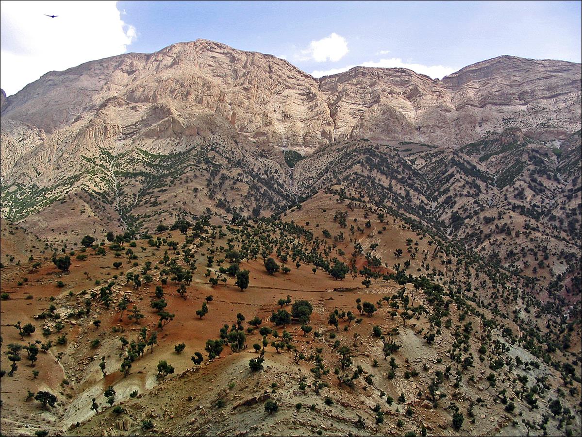
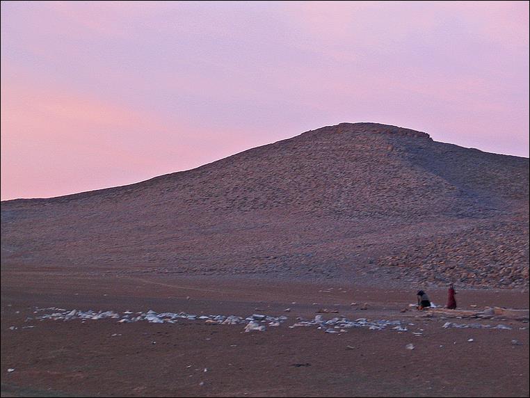
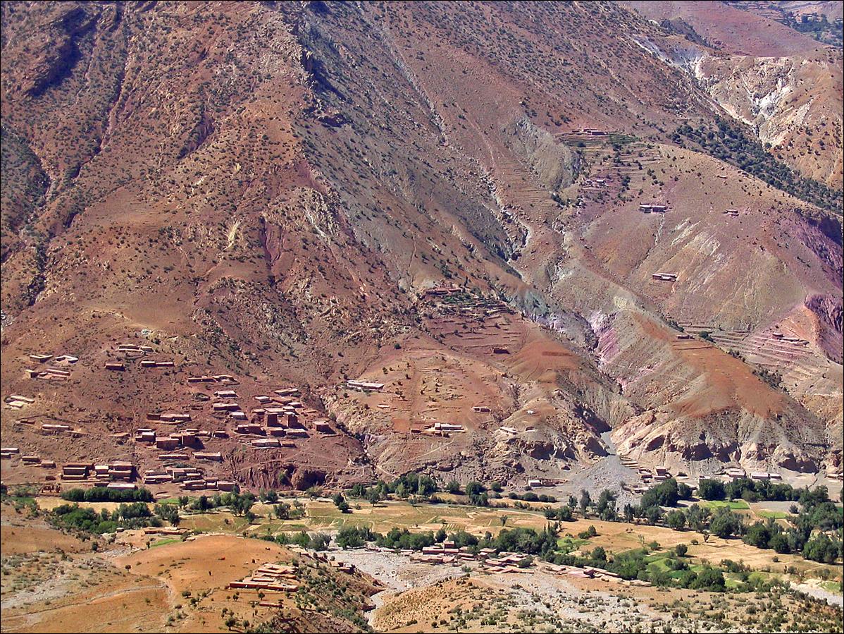
On the Koucer
plateau. It is a different world up here, populated by the Aїt
Abdi (Berber tribe). Bottom left photo: two Aїt
Abdi women at the well of Almou n′Ouhanad,
one of the very rare locations where water is available on the plateau.
|
|
|
|
|
|
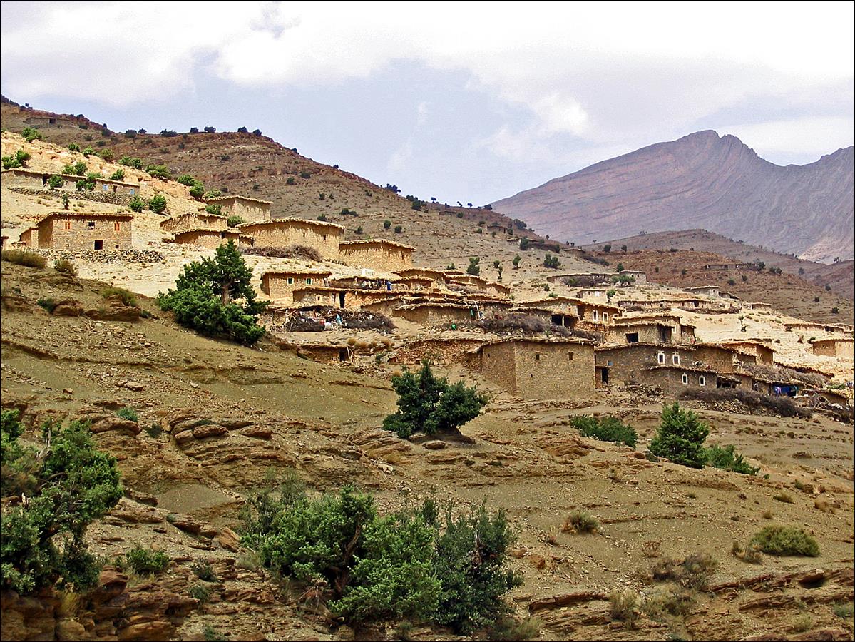
Approaching the village of
Tagertoucht, near the eastern rim of the Koucer plateau.
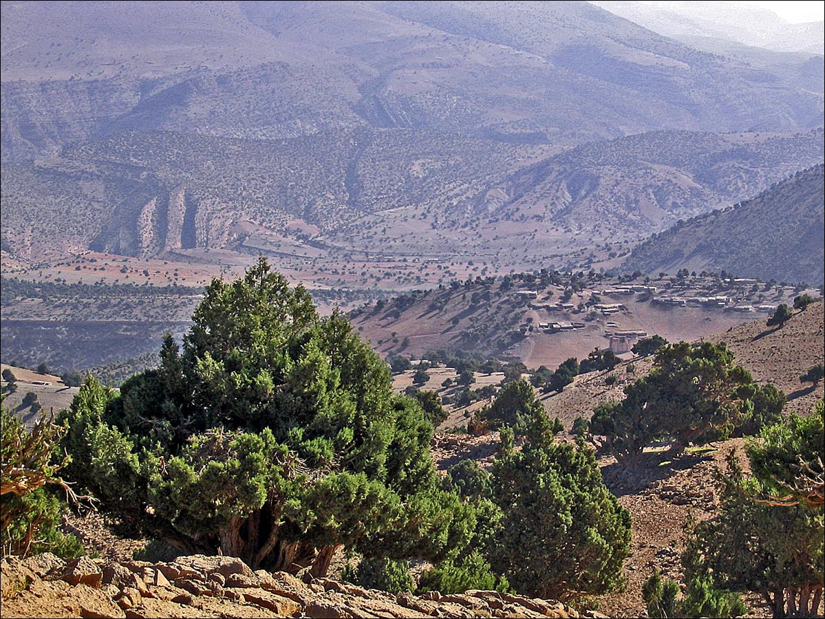
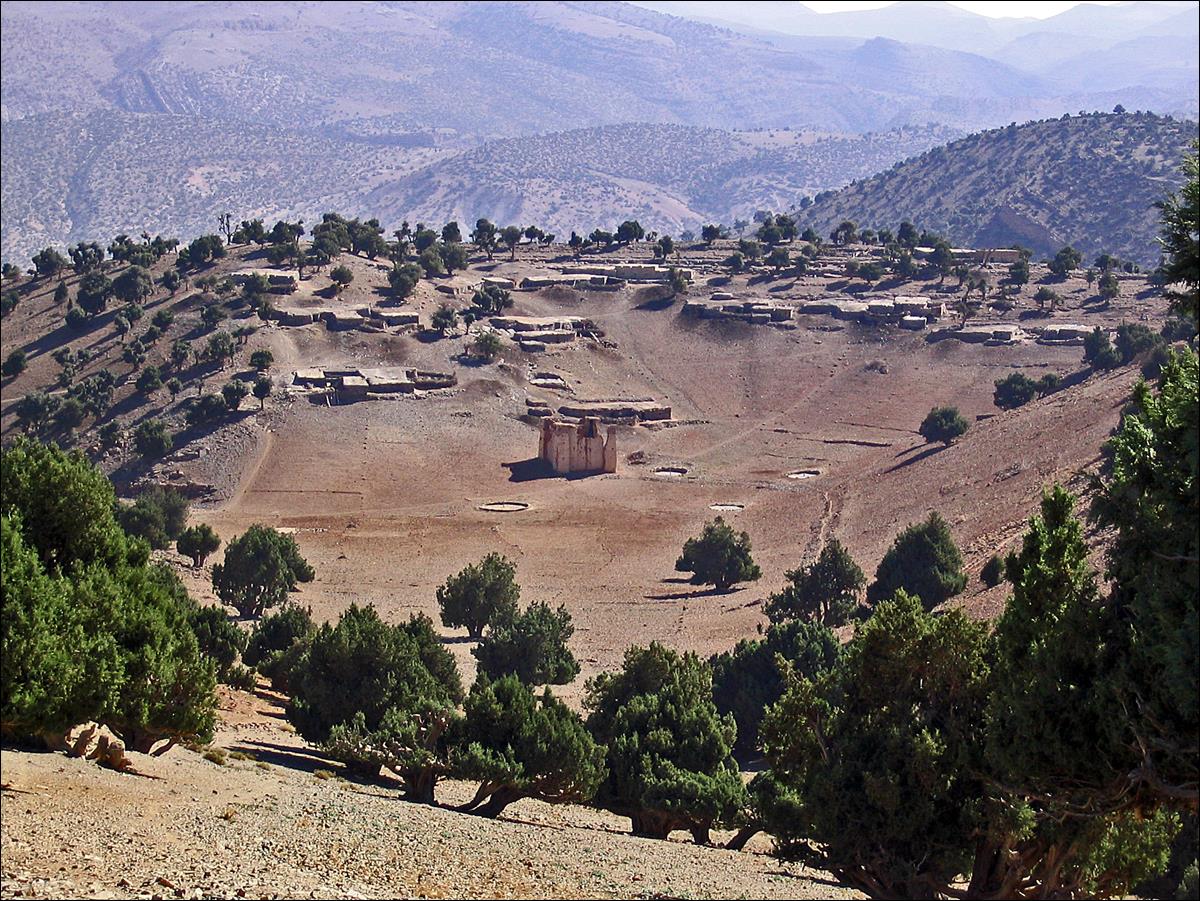
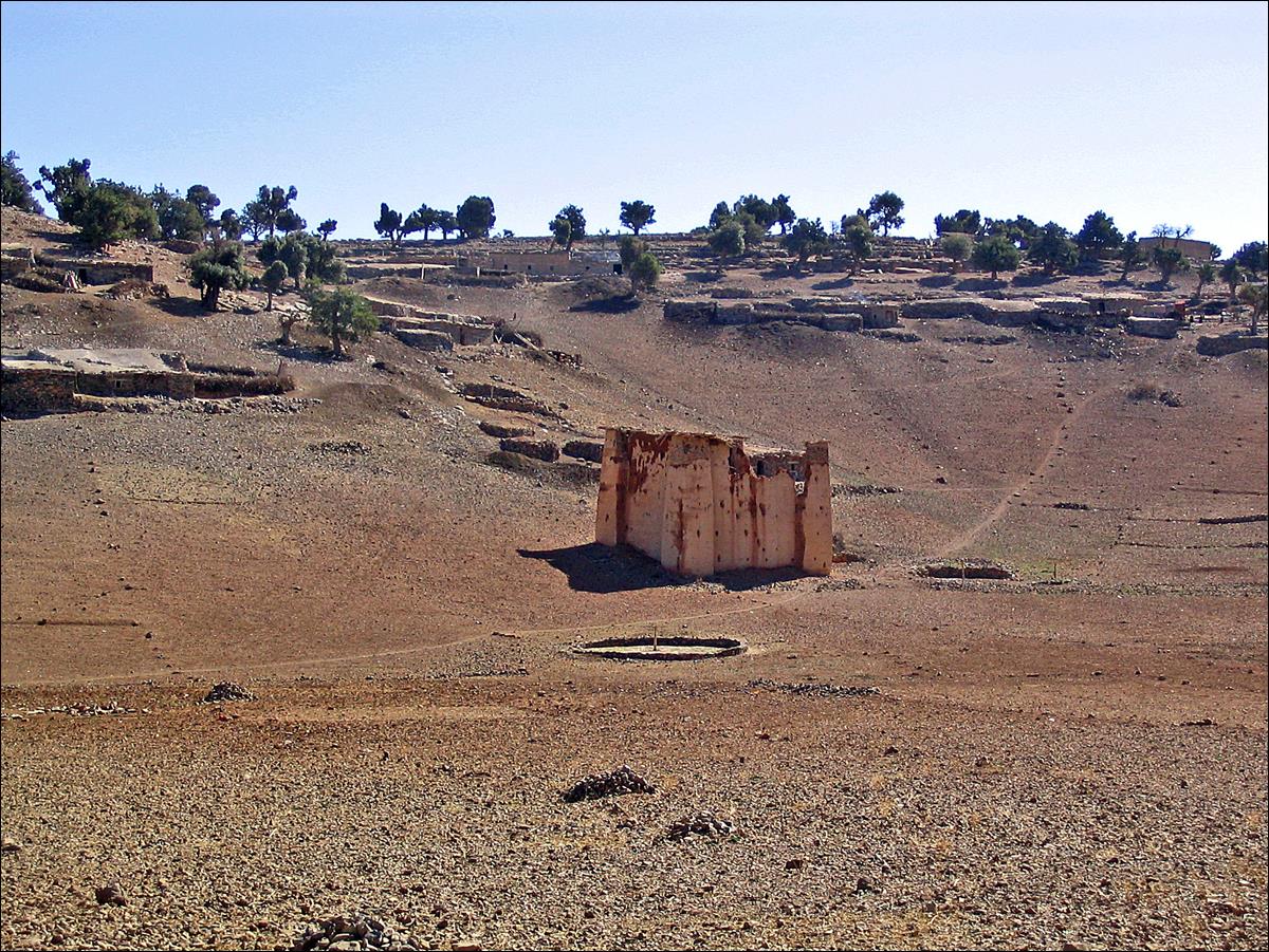
The fortified granary of Tagertoucht.
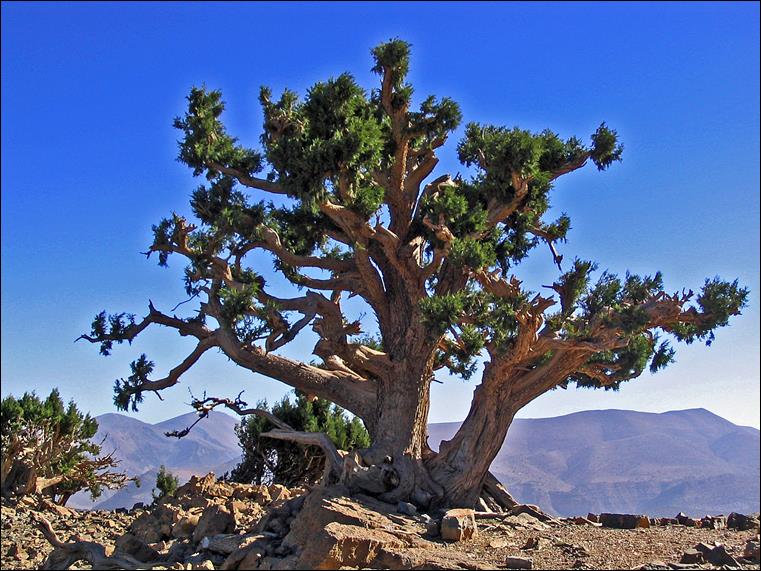
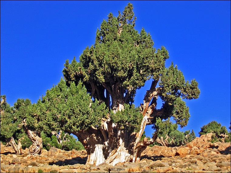
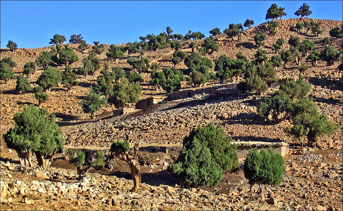
Beautiful junipers near Tagertoucht.
|
|
|
Views of Akka n-Taquet.
|
|
|
|
|
|
On the plateau between Akka n-Taquet and Akka n-Nouanza, near the village
of Zerehane.
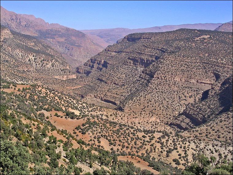
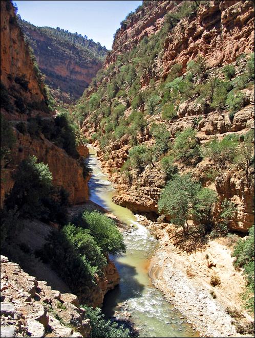
Views of Akka n-Nouanza and side-canyons
before reaching Assif Melloul.
|
|
|
|
|
|
|
|
|
|
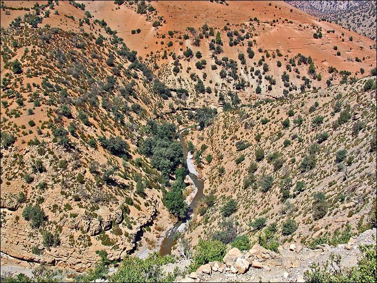
The canyon of Assif Melloul with the village of
Batli and its green fields near the river.
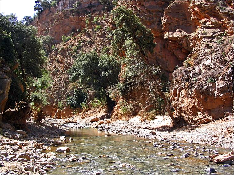
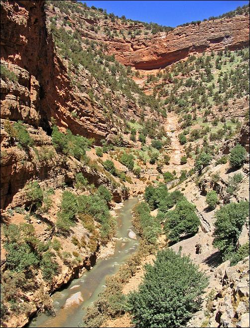
Views of the canyon of Assif Melloul near and above Batli.
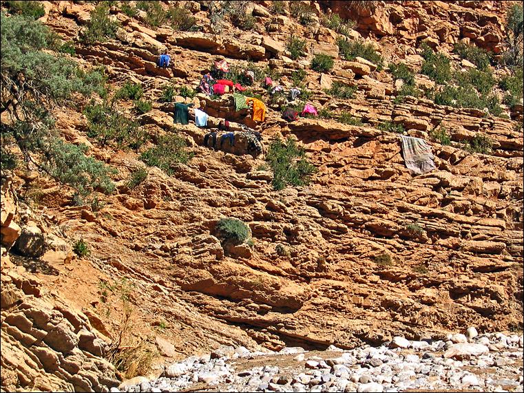
The village of Aїt Boulmane
located between Batli and Anergui
along Assif Melloul.
The village of Indahane, just besides Aїt
Boulmane.
Along the Assif Melloul between Anergui and Tamga.
|
|
|
|
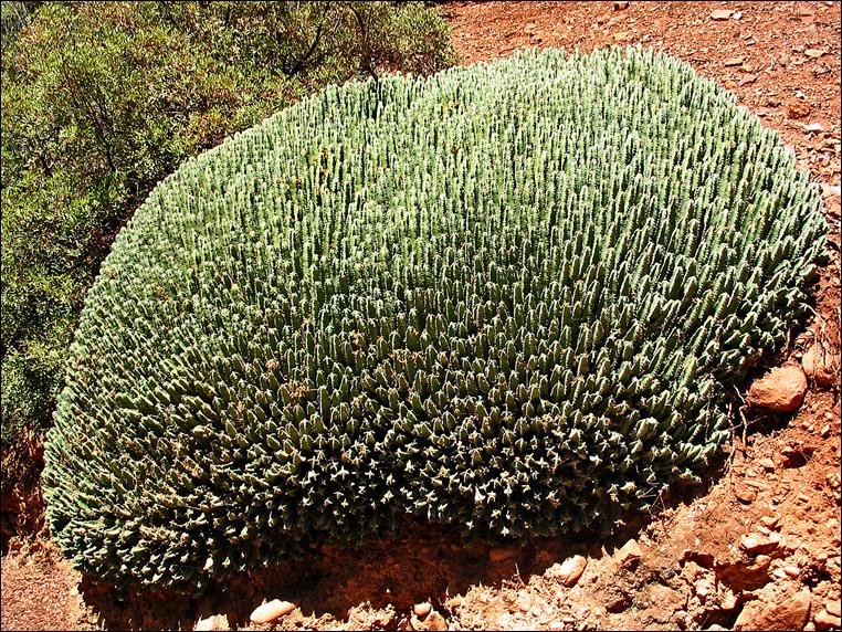
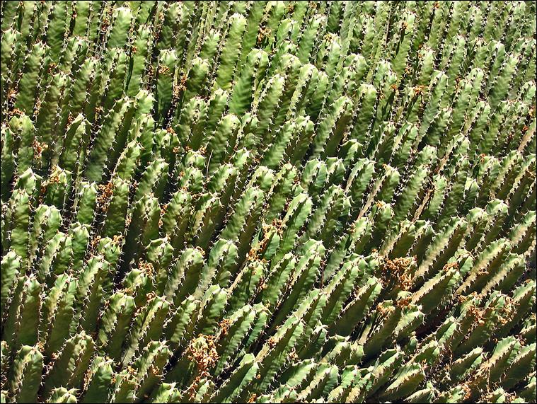
Euphorbia resinifera (resin spurge), a multi-stemmed cushion-shaped
shrub native of the Atlas mountains.
|
|
|
The Cathedral of Tamga, a large sandstone formation located where Assif Melloul flows into Assif Ahancal.
View of the upper cliff of
the Cathedral from a trail below this cliff.
![]()