Taiwan: Beigan, Matsu Islands (November 2018)
![]()
Return
to main Matsu Islands page | Return
to main Taiwan page
Annotated map of Beigan.
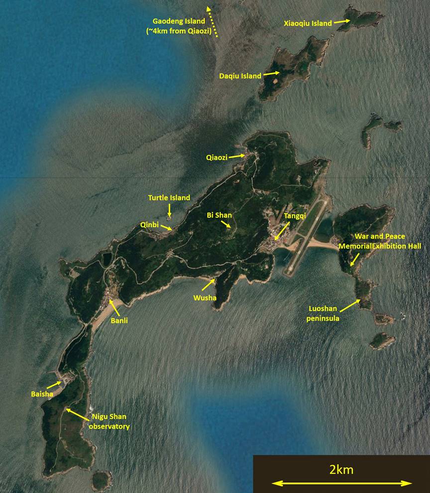
Beigan is located a few kilometers northeast
of Nangan to which it is connected by frequent ferries.
The ferry port of Beigan (Baisha)
is 6.5km away from the one of Nangan (Fuao) and the crossing between the two ports takes about 20
minutes. Beigan has also an airport, which predates
the one in Nangan, with daily flights to/from Taipei.
Beigan is slightly smaller than Nangan,
but perhaps more hilly. Parts of its coastline are gorgeous, especially near
the two southern tips of the island (on the west and on the east). Its highest
point (Bi Shan, 298m) is the highest in the entire Matsu archipelago. But the
greatest highlight on Beigan is Qinbi,
the best preserved/restored northern-Fujian-style stone house village in the
Matsu islands (and perhaps anywhere else).
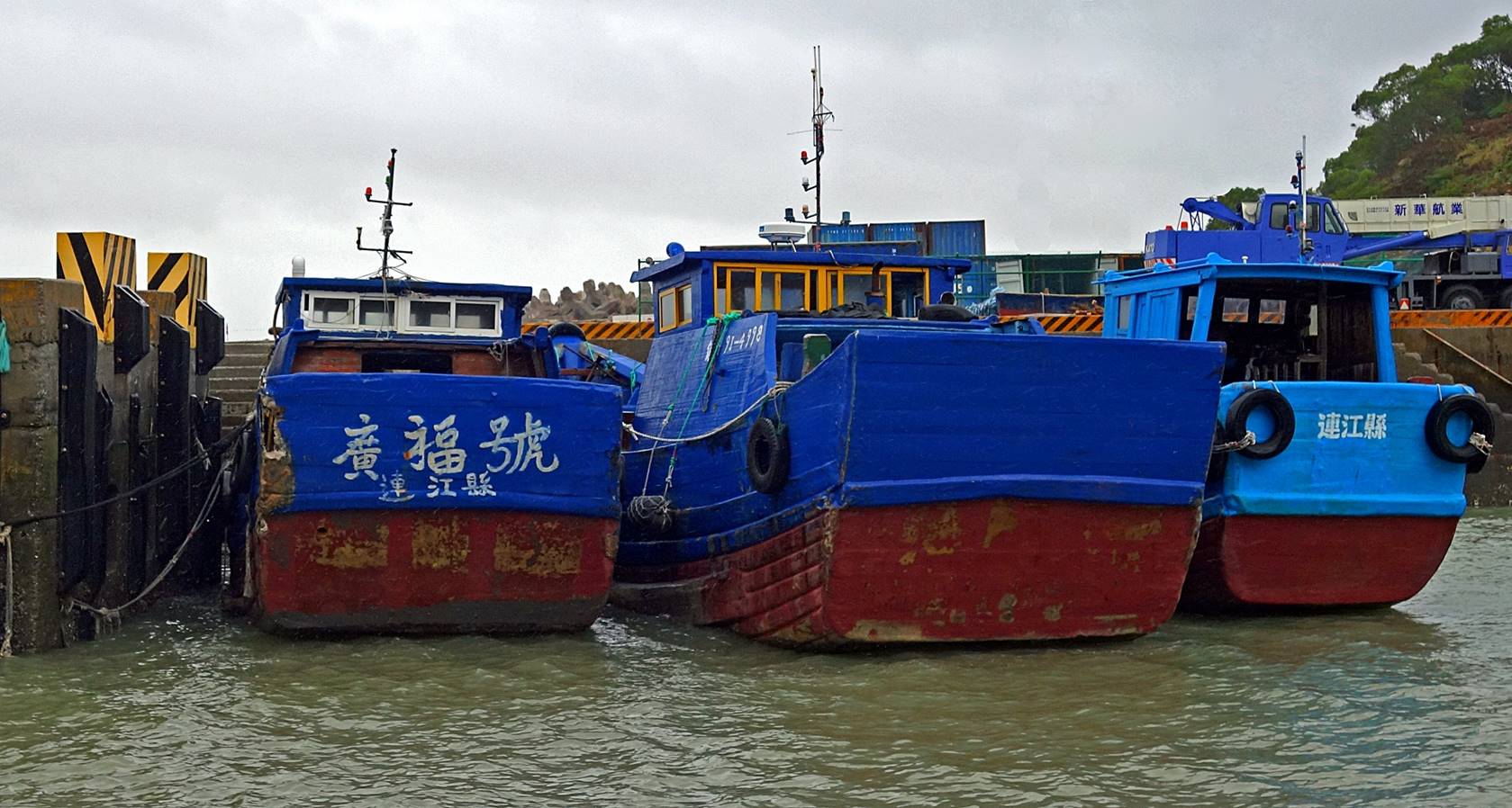
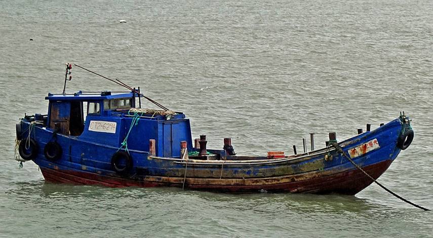
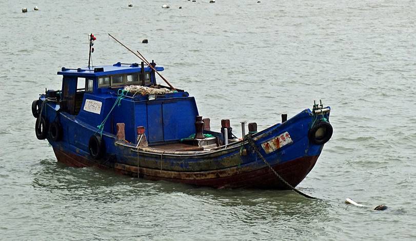
Baisha harbor:
Traditional
boats.
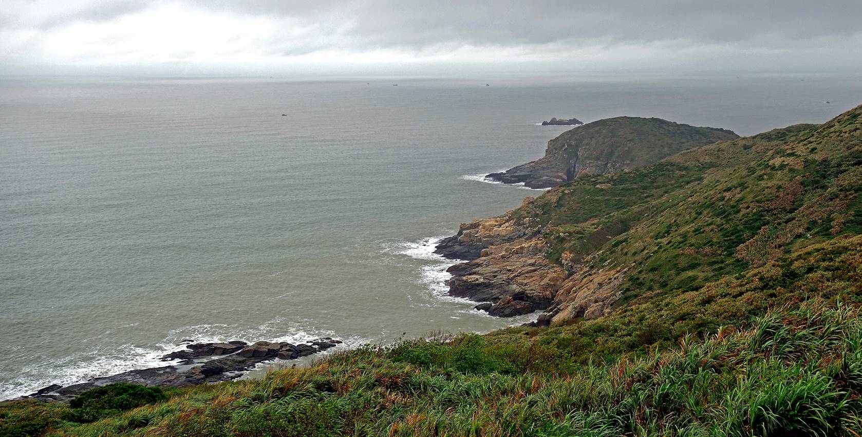
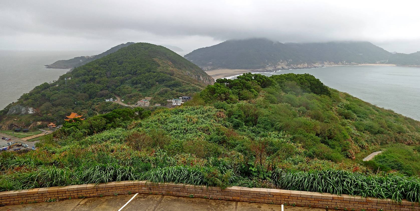
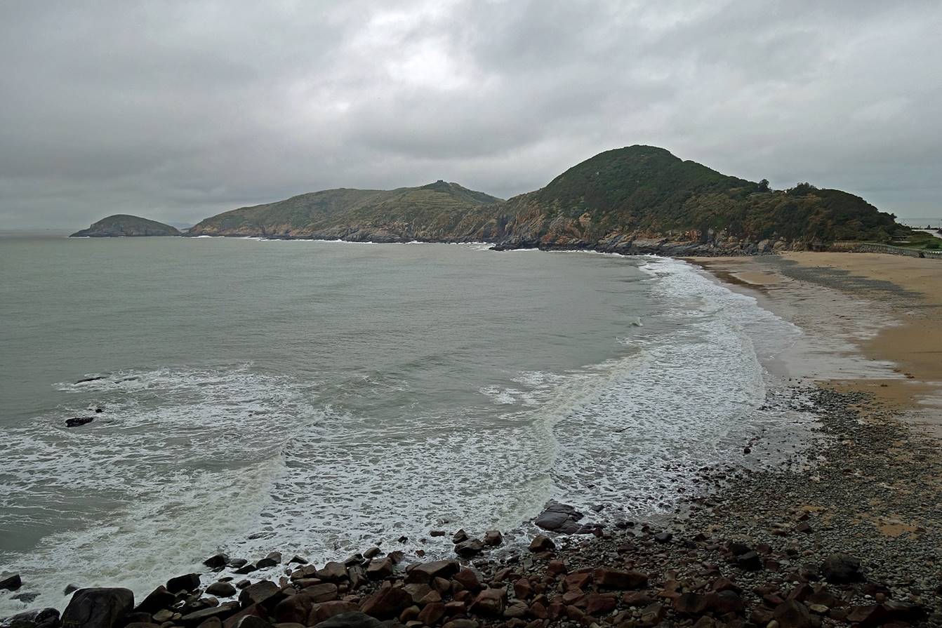
Nigu Shan (123m):
Views from
the observatory platform near the summit:
- Toward the
southern tip of the island.
- Toward the
north. Baisha harbor is partially visible on the left
of the photo. Banli beach and Wusha
beach are visible near the center and on the right of the photo.
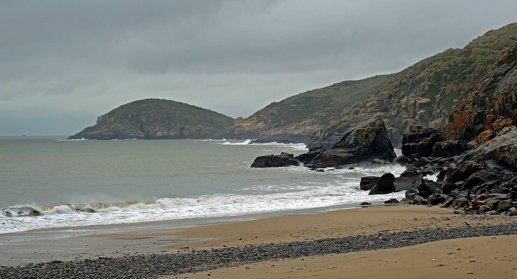
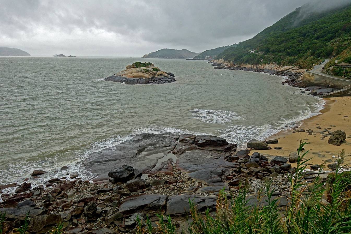
Around Banli village:
Banli beach.
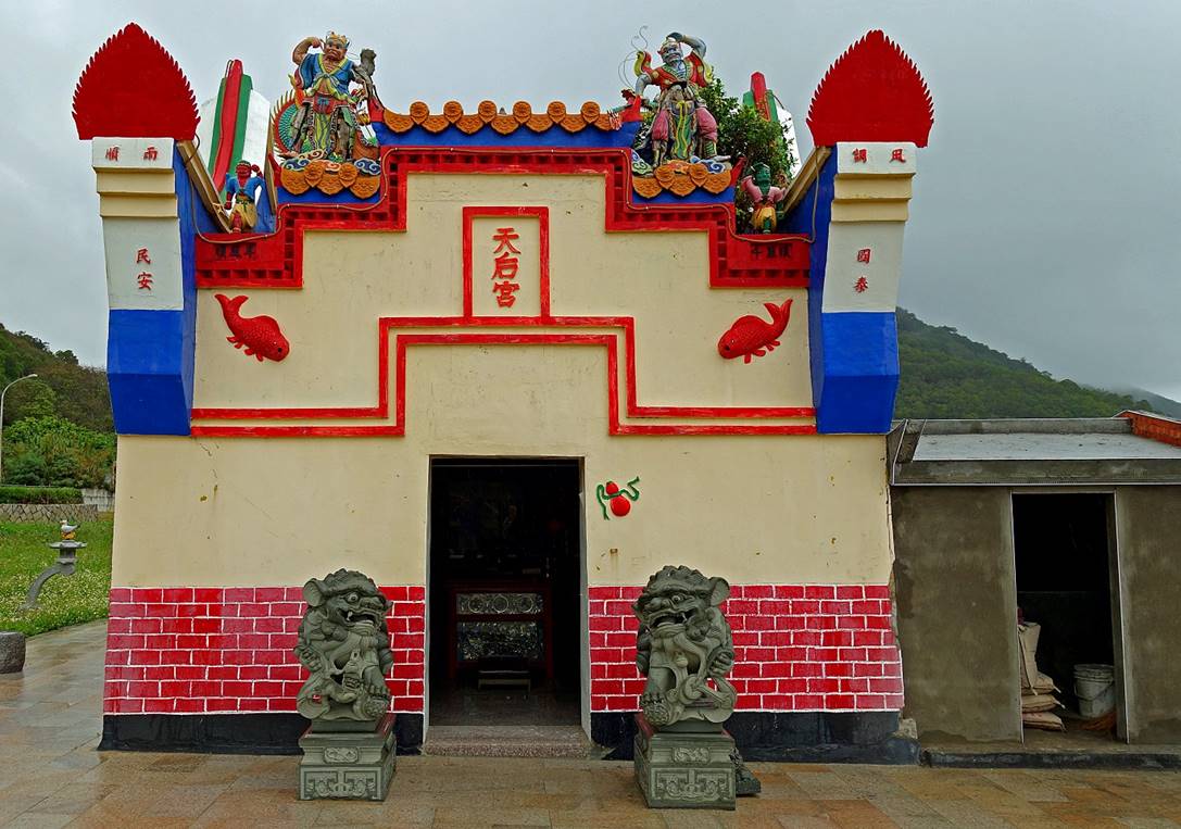
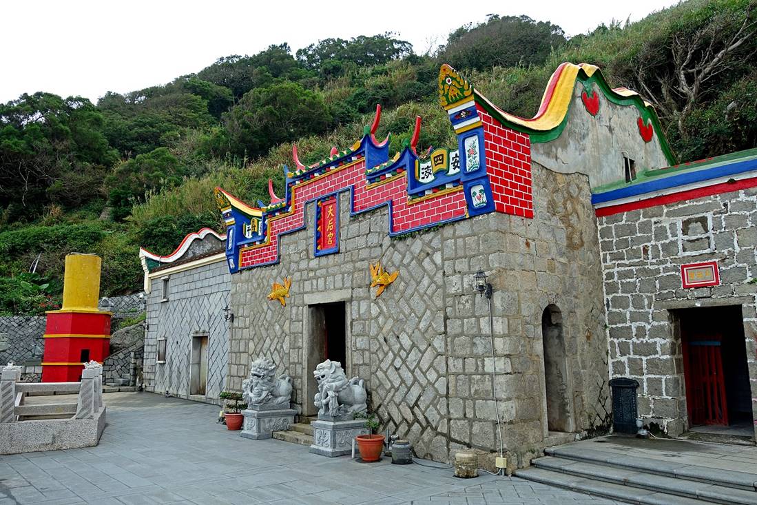
Small Tianhou temple, dedicated to Matsu, near the beach.
|
|
|
|
|
|
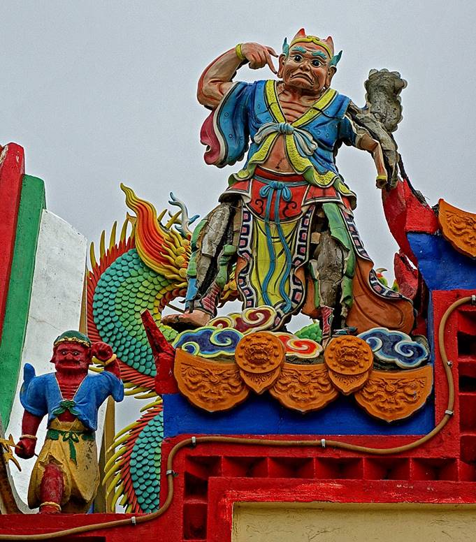
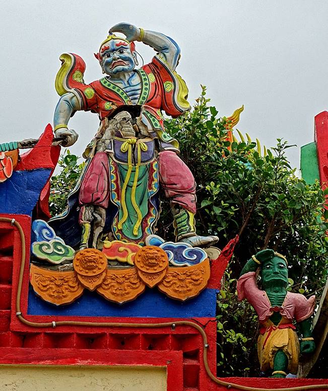
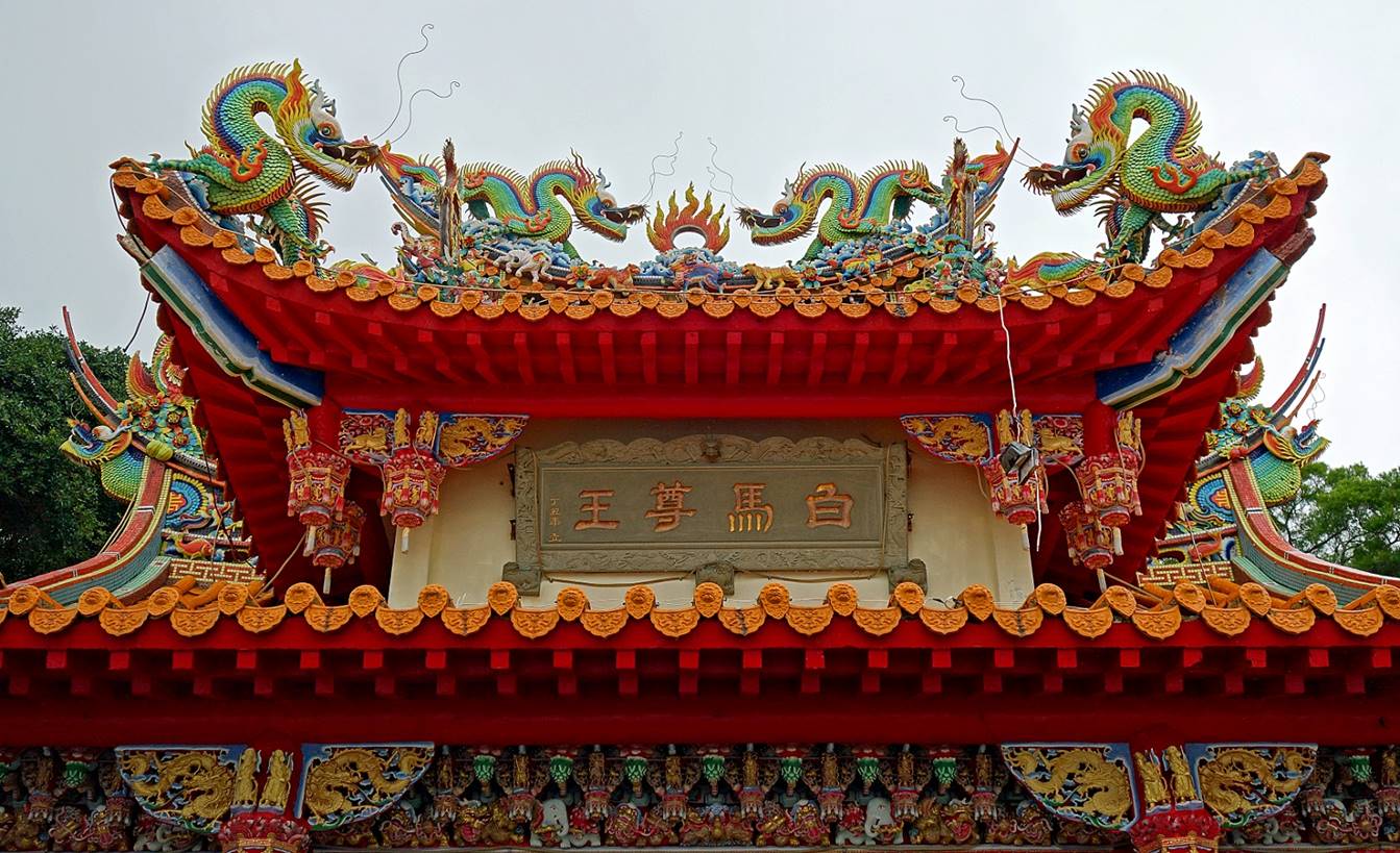
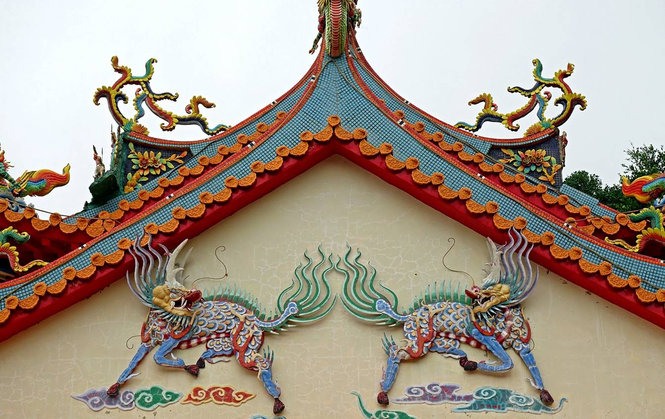
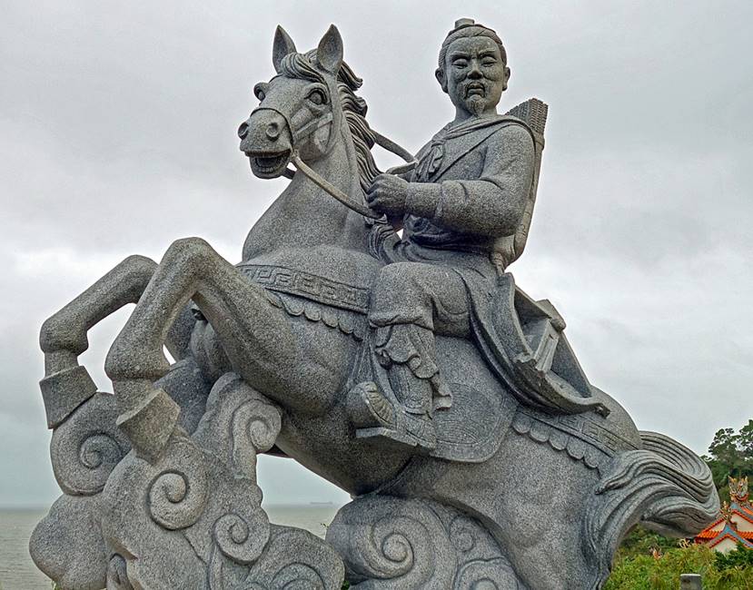
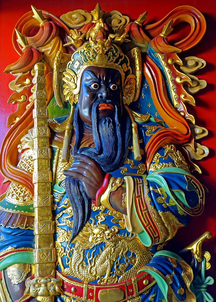
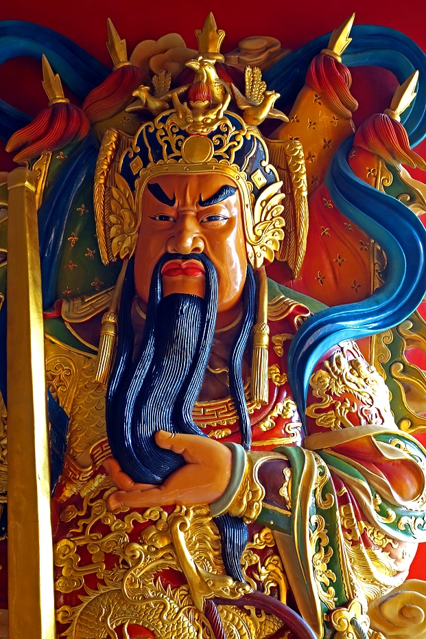
White-Horse
General temple (see Nangan page for another such temple) located on the
west coast of the island, near Banli.
|
|
|
|
[Statue of the
white-horse general next to the temple.] |
[Beautiful ghost money burner.] |
|
|
|
|
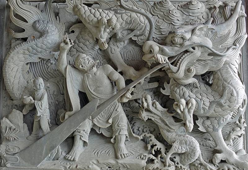
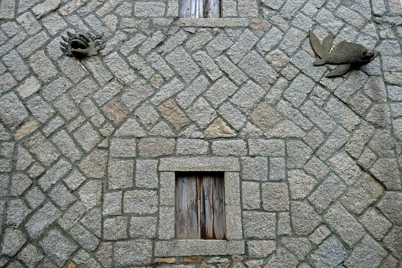
[Stone carving on a
wall of the temple.] |
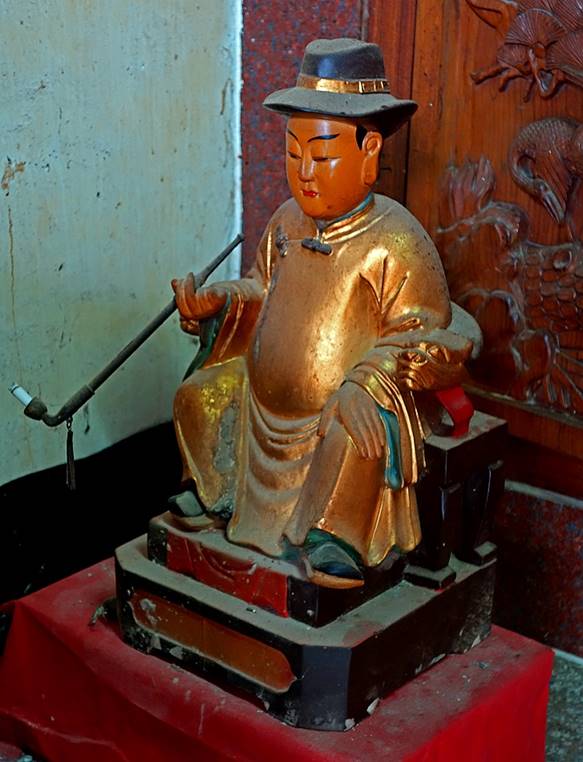
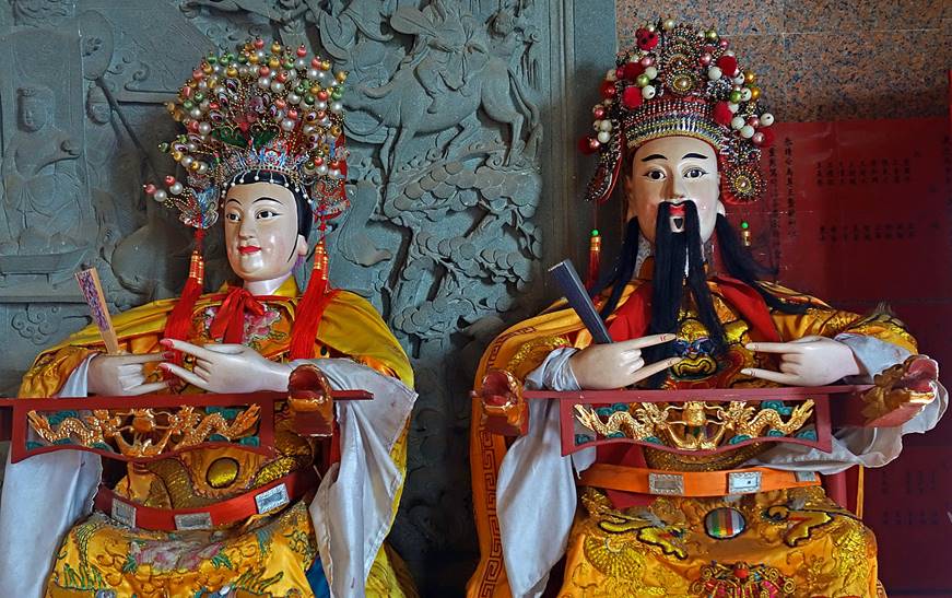
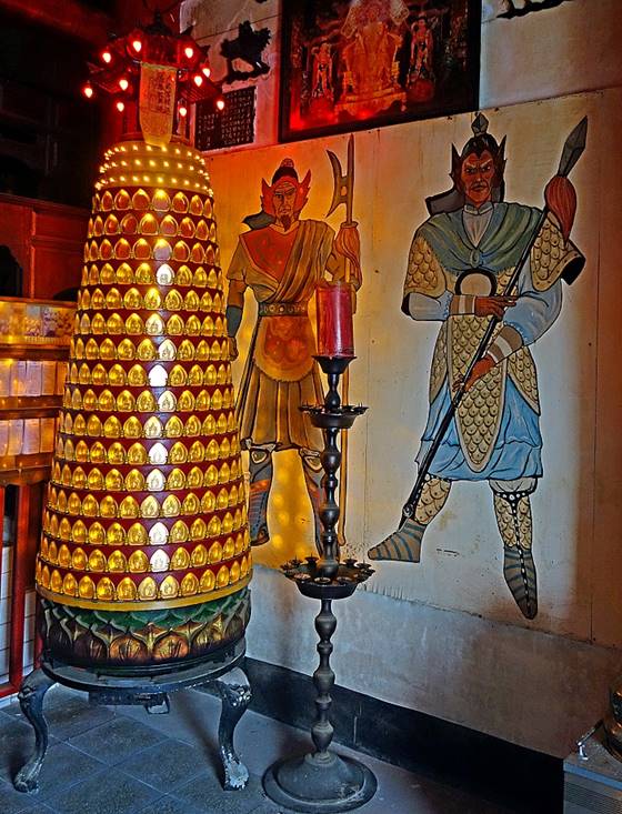
[Inside the temple.] |
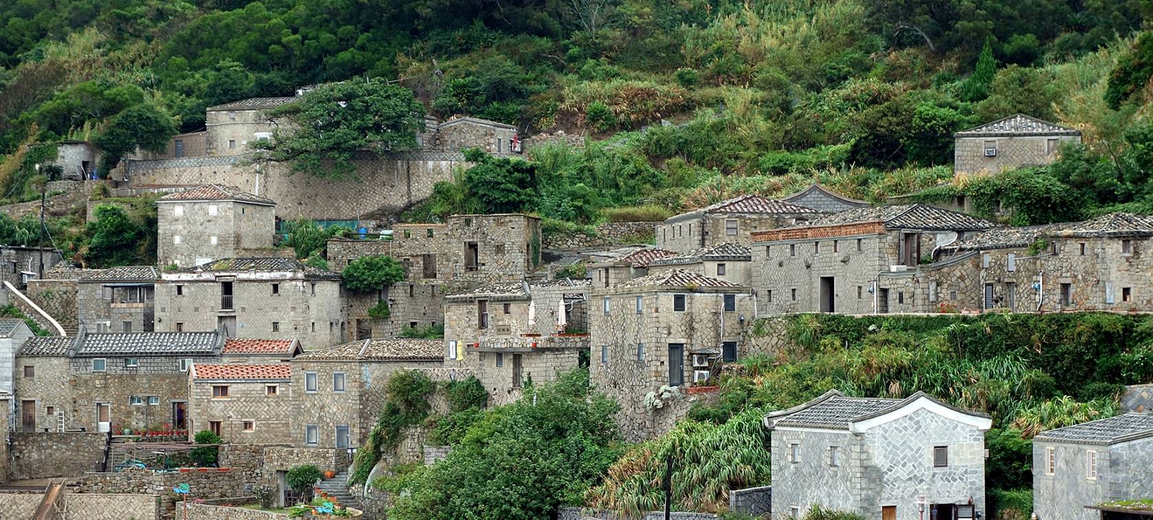
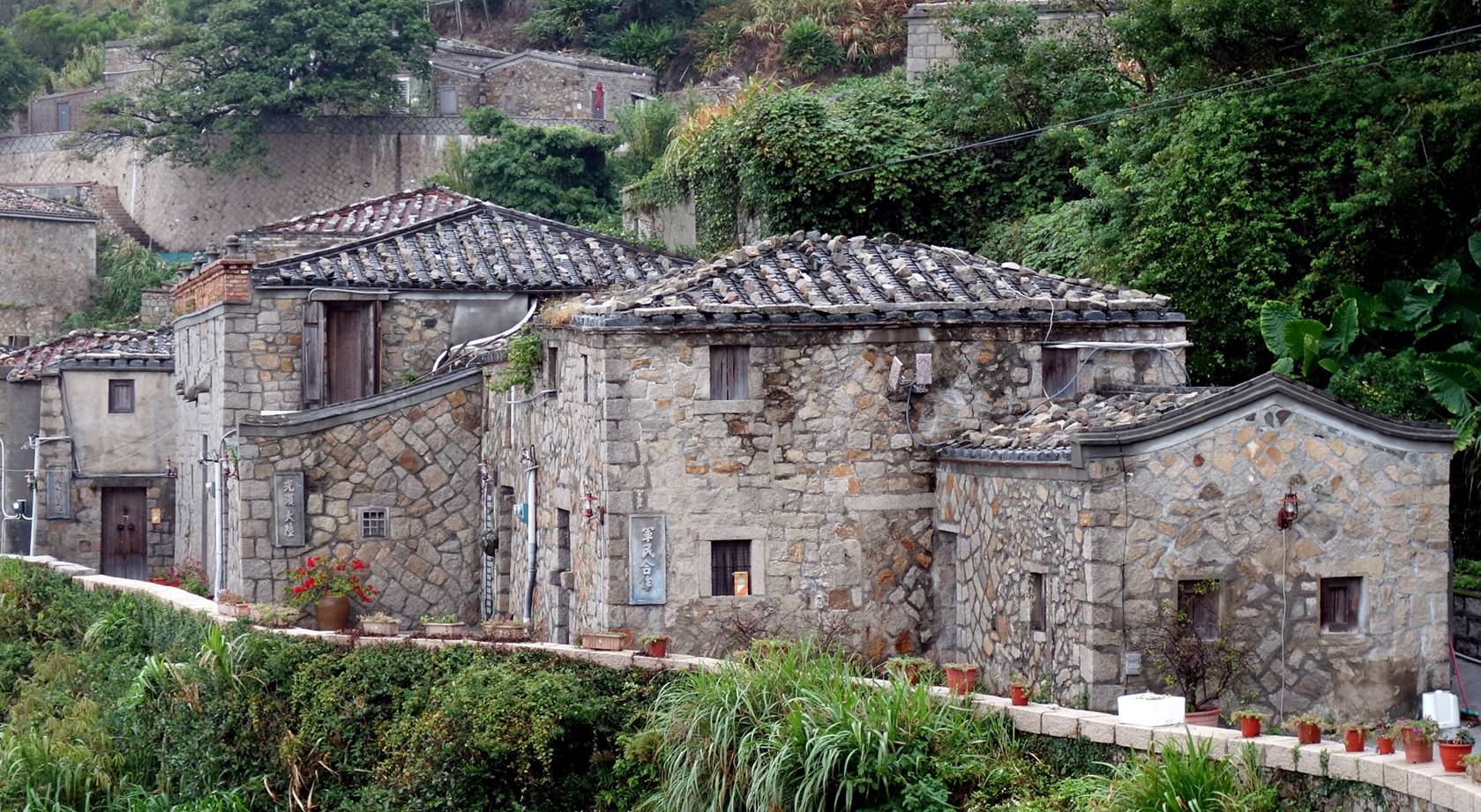
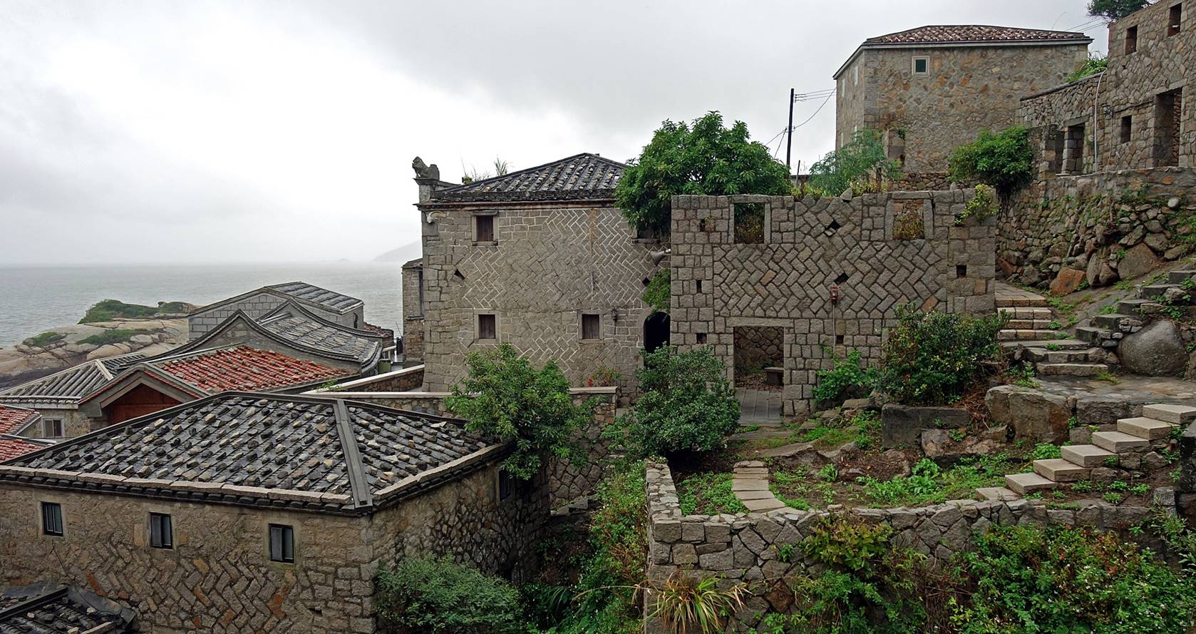
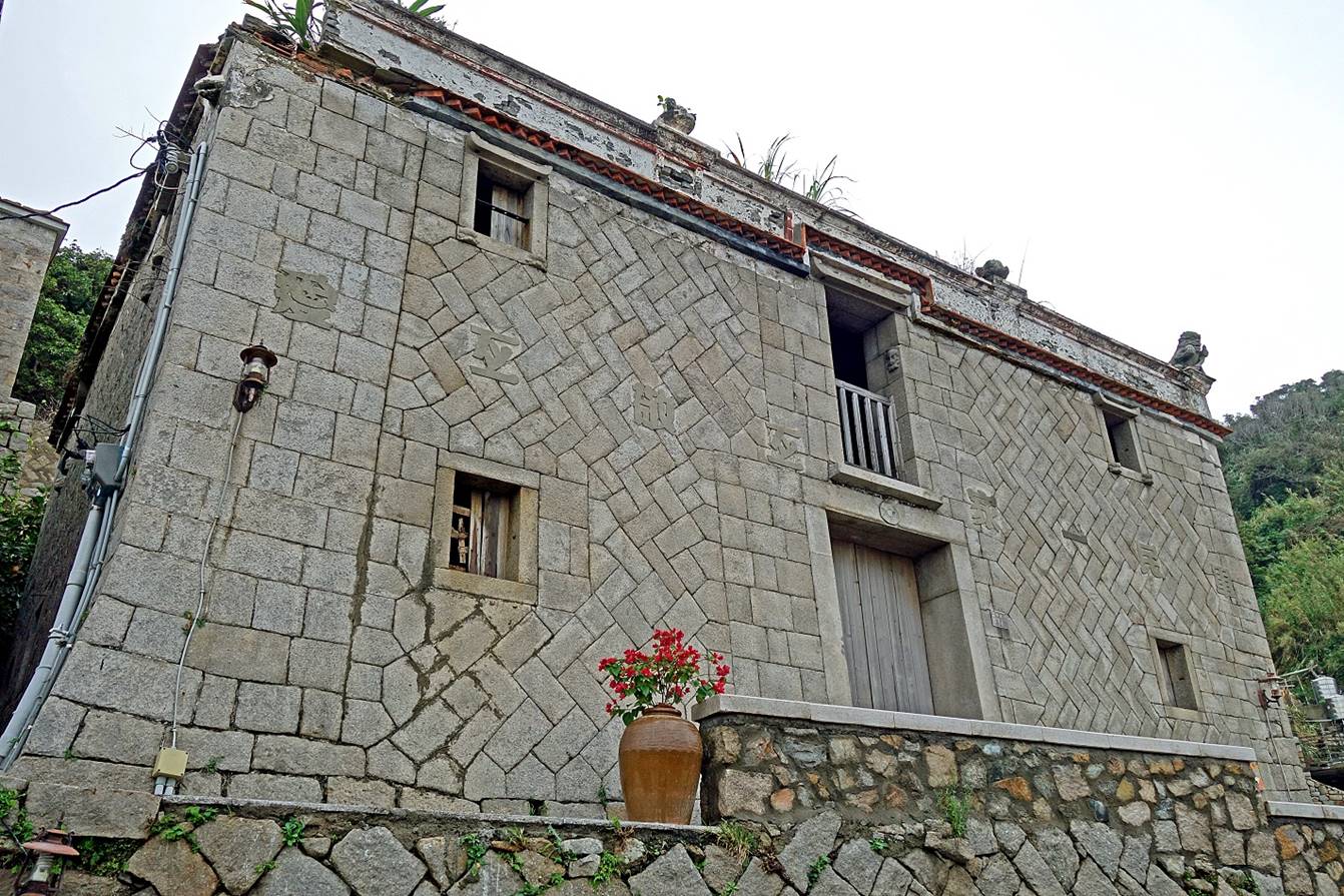
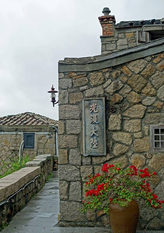
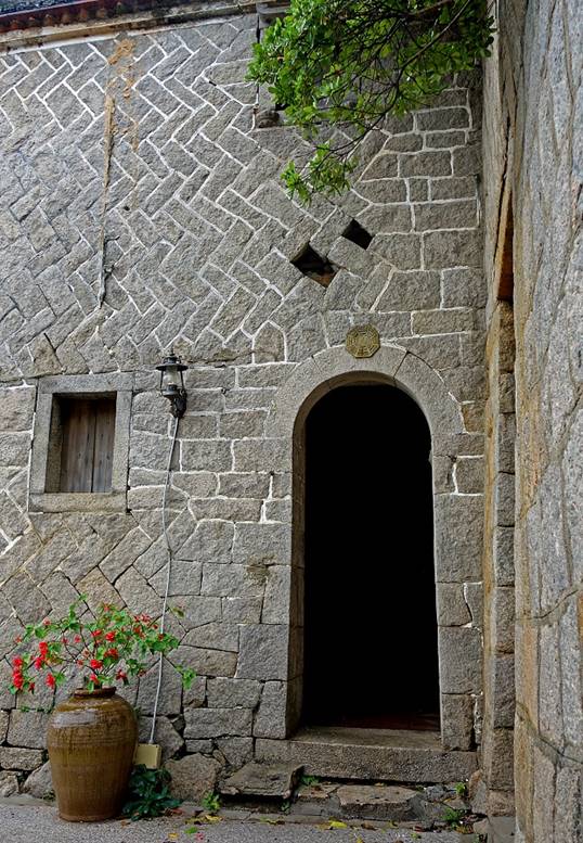
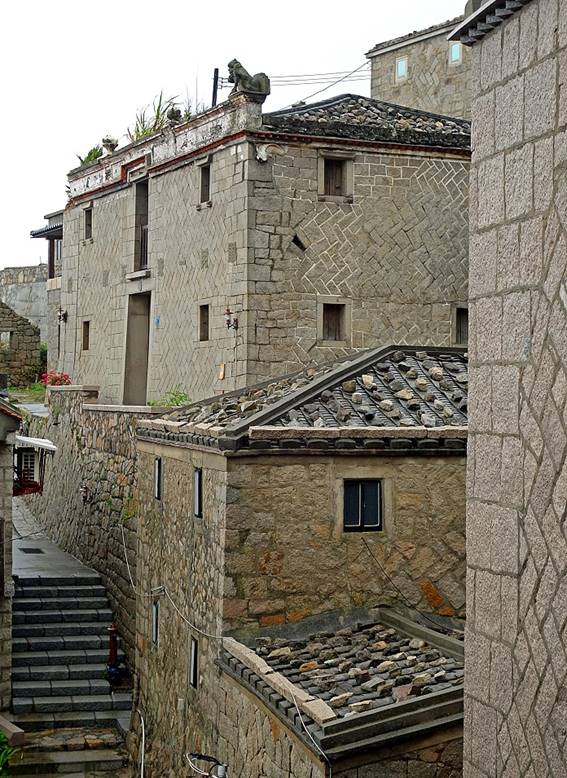
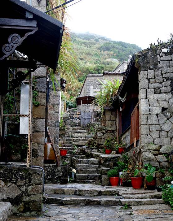
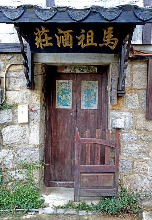
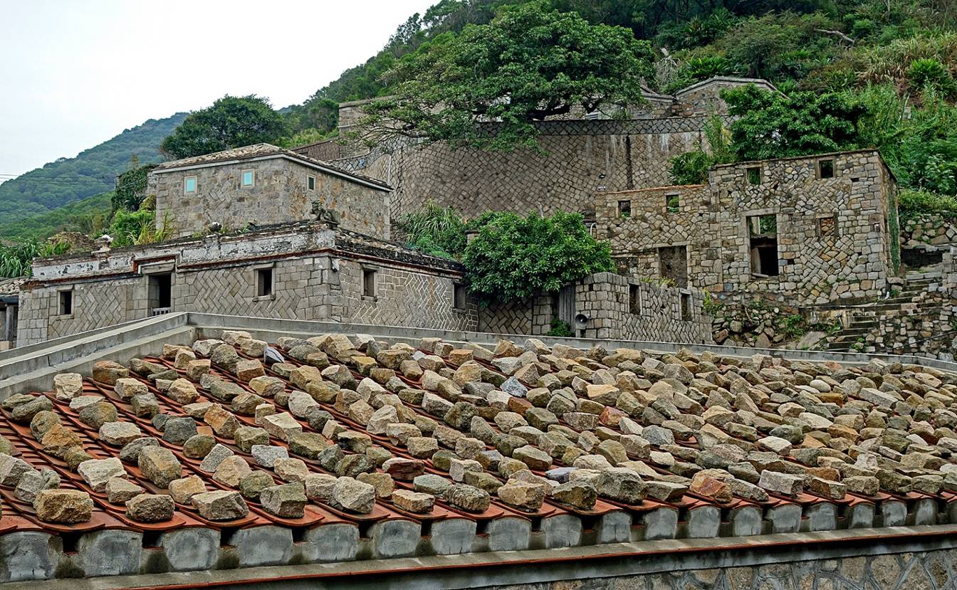
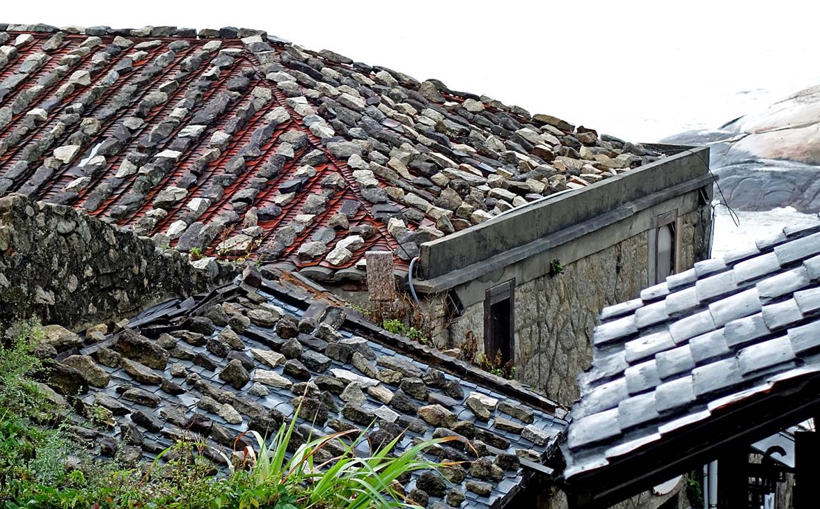
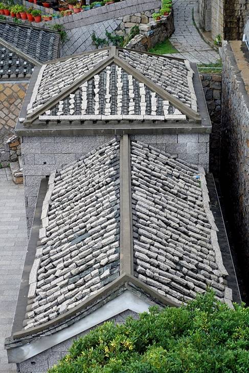
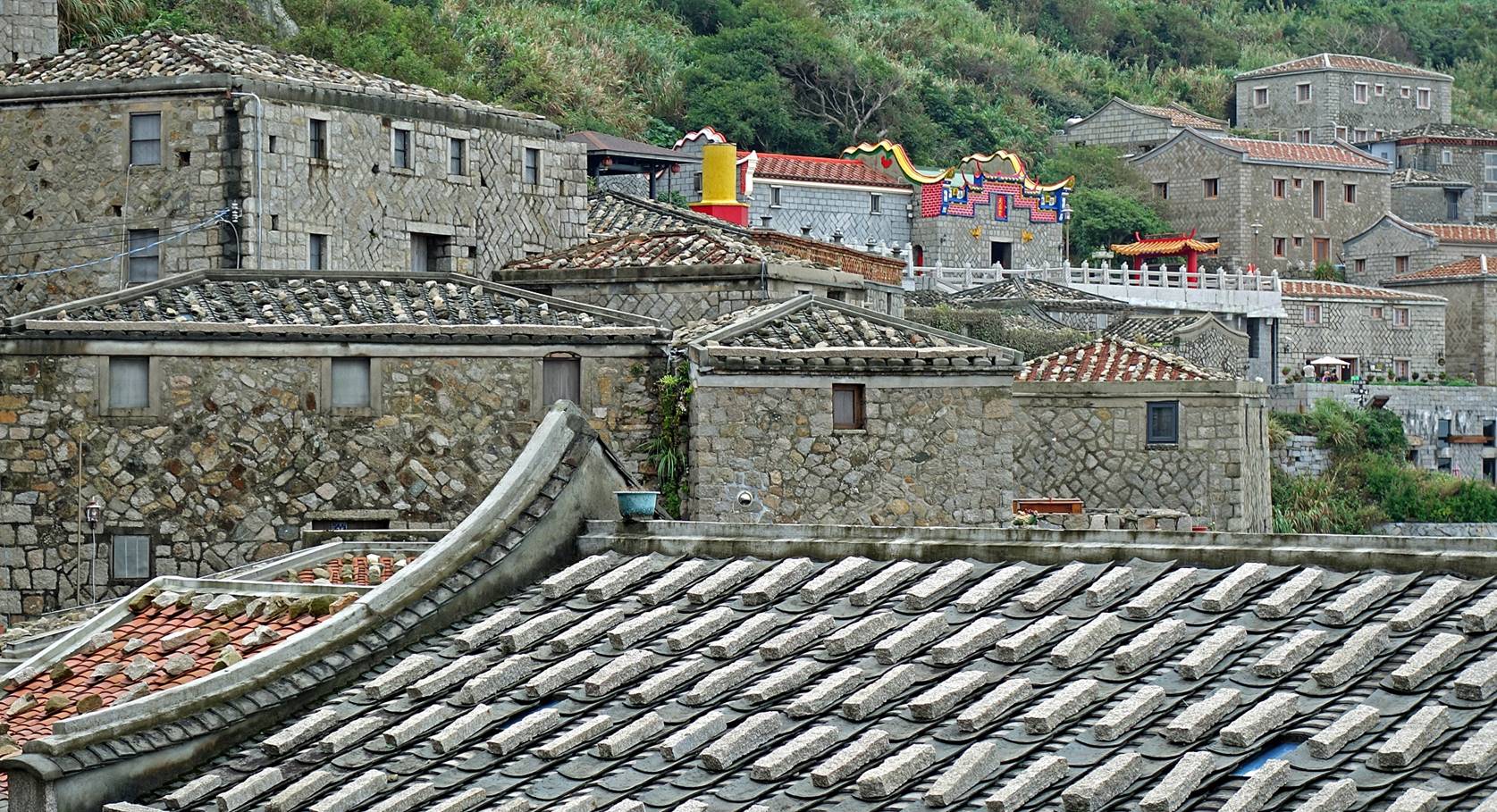
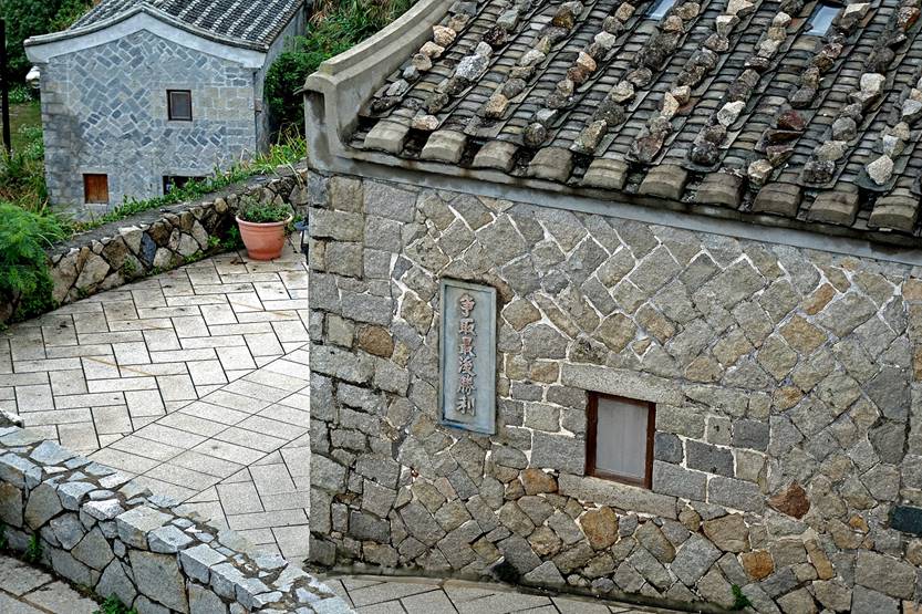
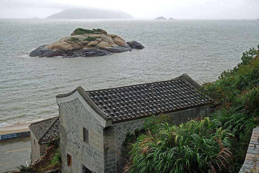
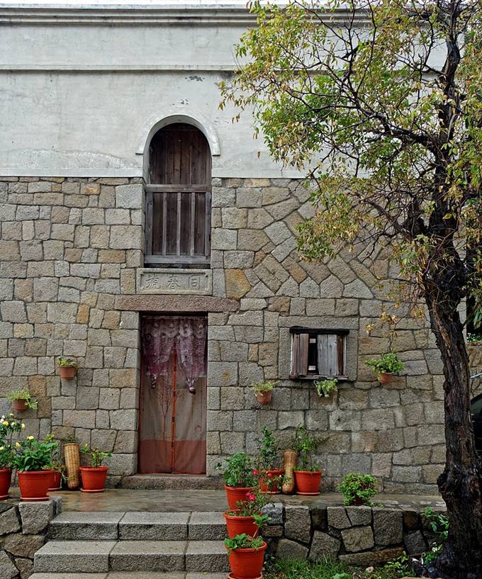
Qinbi village:
It is the best preserved/restored village in the Matsu archpelago. Its
northern-Fujian-style stone (granite) houses were built next to the coastline
on the lower part of the northern flank of Bi Shan. They date from the late
Qing Dynasty and for some from the first half of the 20th century. Such a
village is unique in all of Taiwan and also probably in the entire Fujian
province of China. Many houses have been turned into homestays. Only a few
families still live permanently in the village.

|
|
|
|
|
|
|
|
|
|
|
|
|
|
|
|
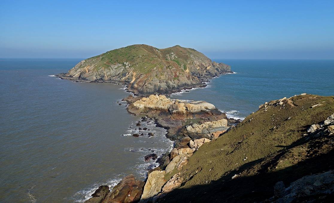
[The small islet in front of the village is called Tutle
Island, due to its turtle-like shape.] |
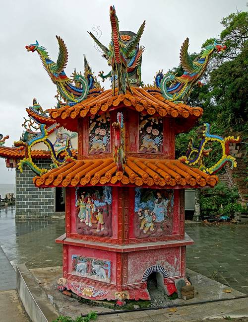
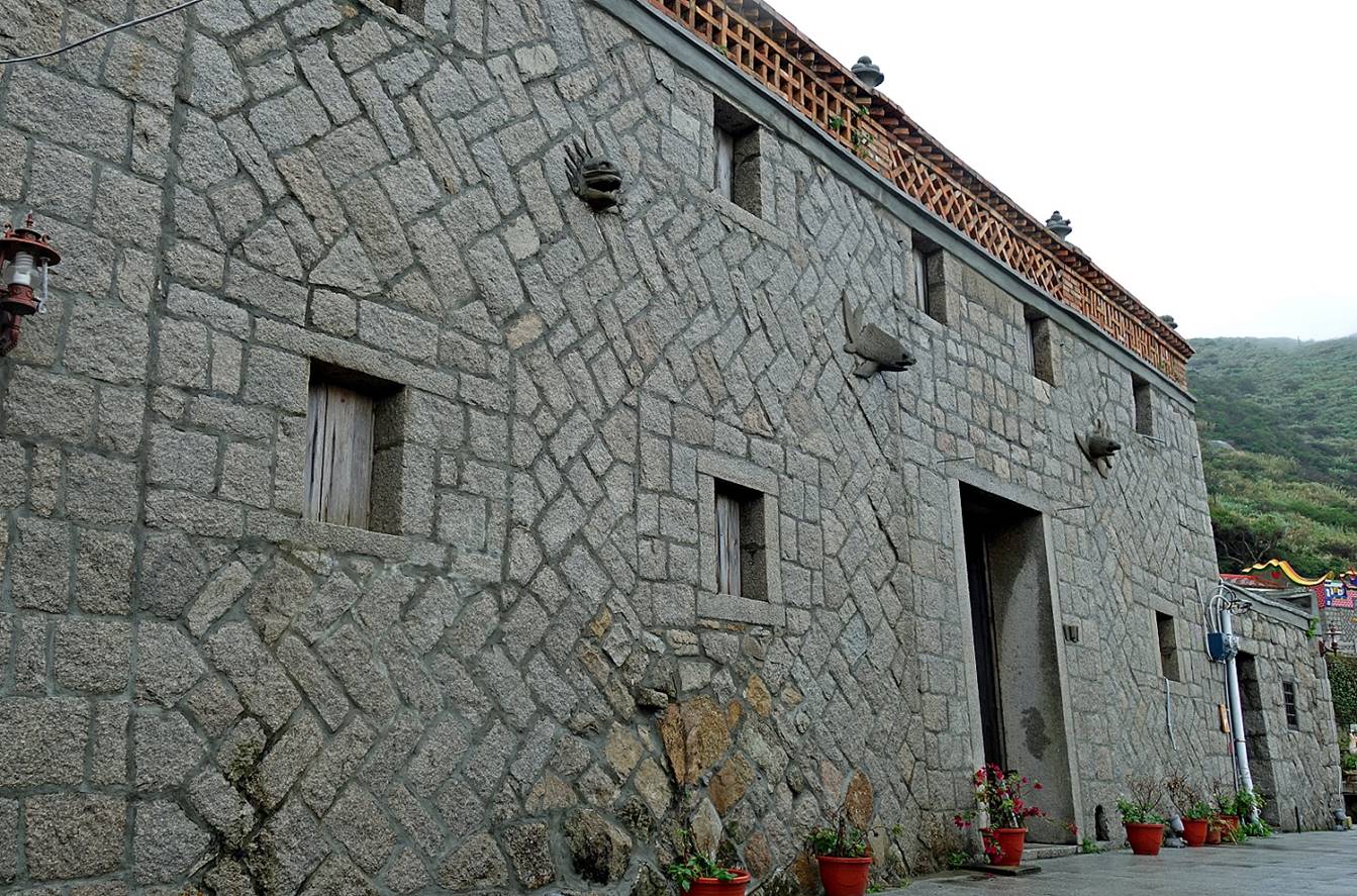
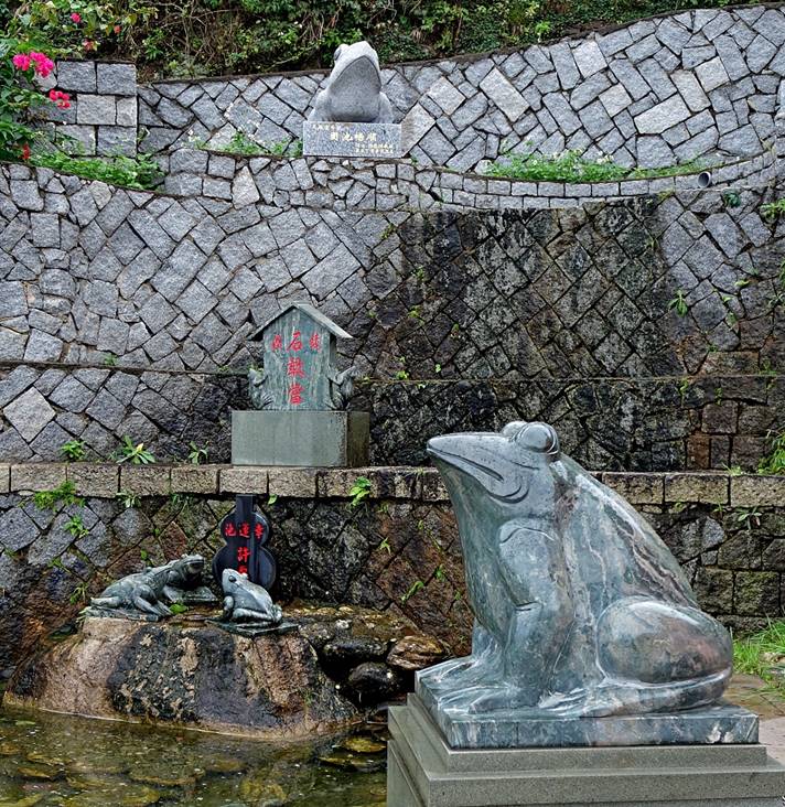
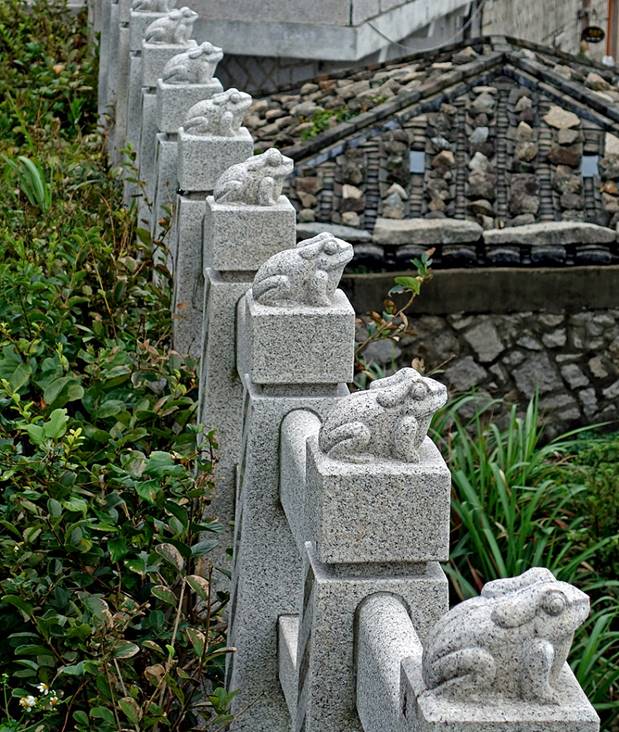
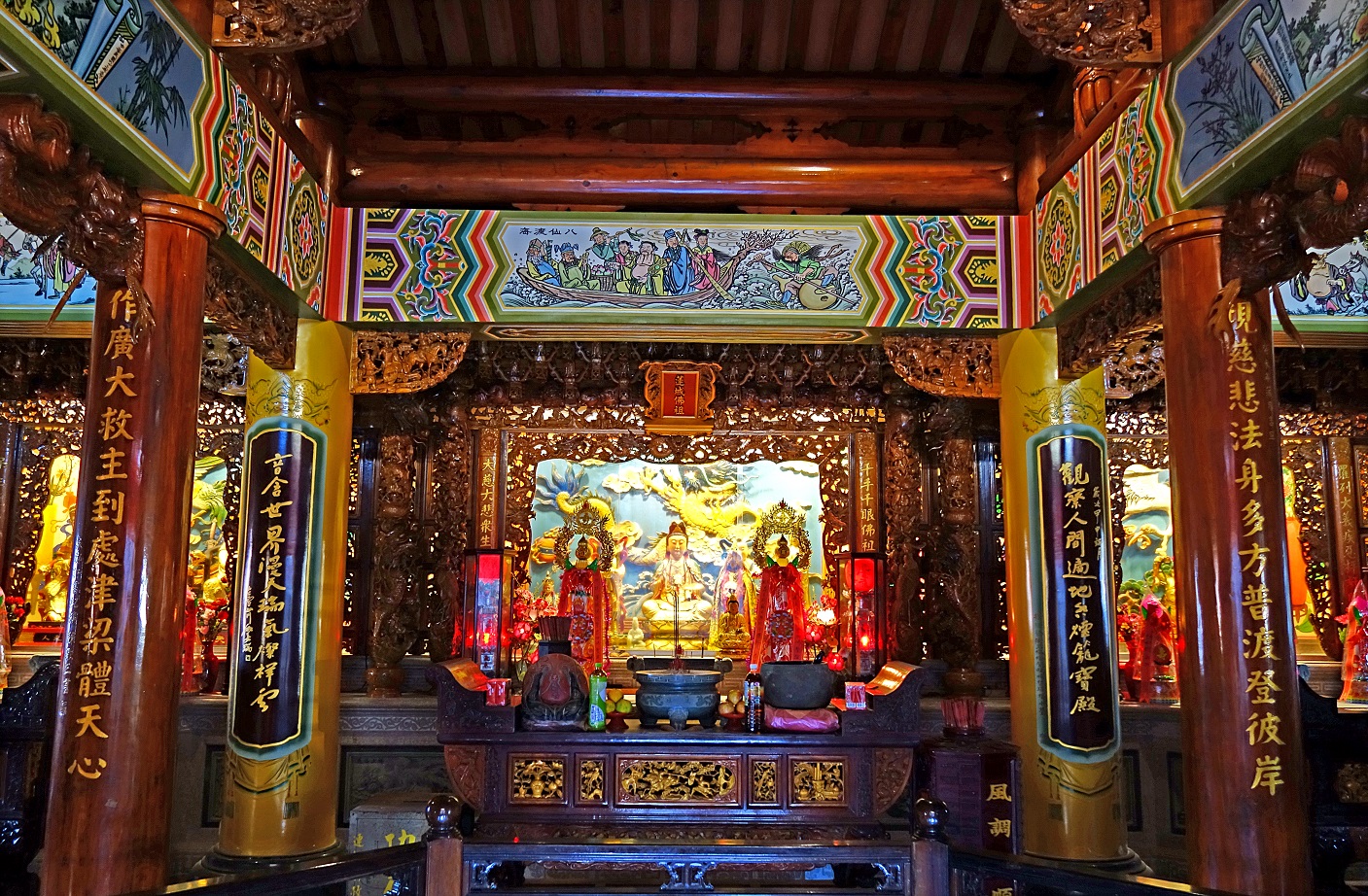
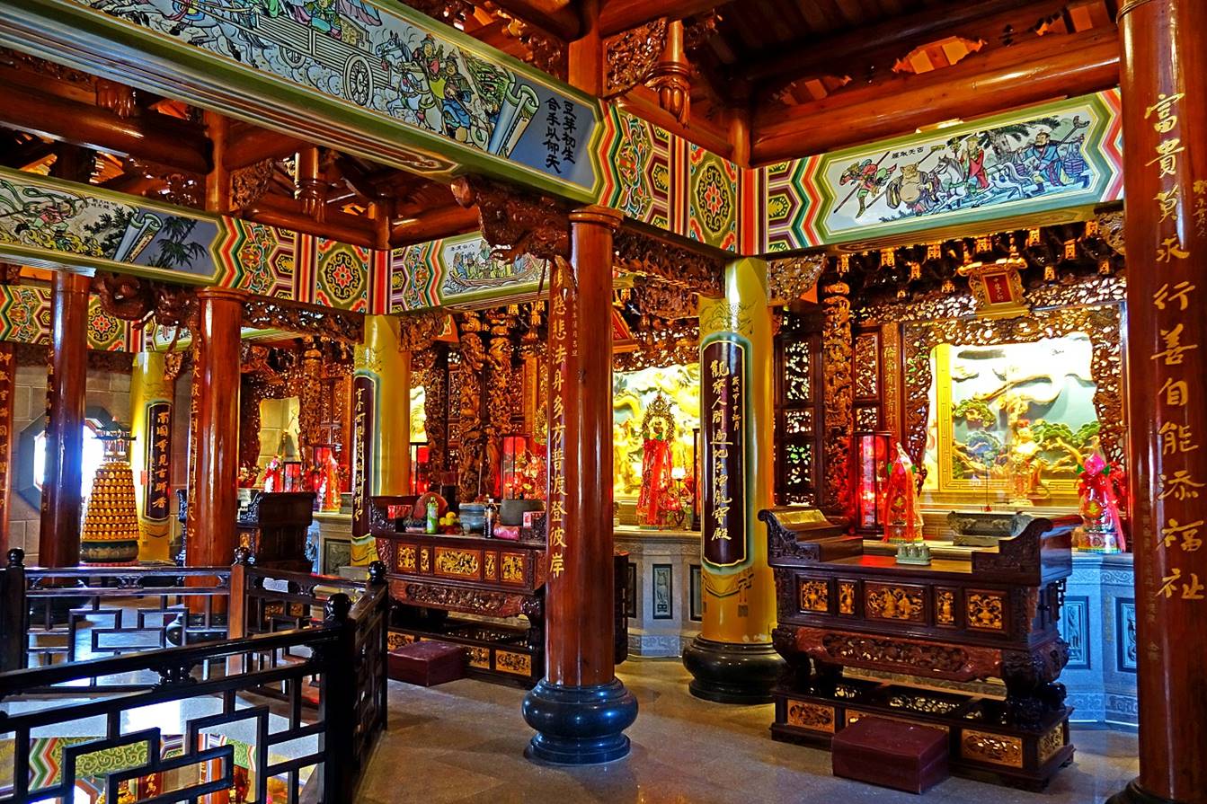
Temple on a high
terrace of the Qinbi village.
|
|
|
Frogs symbolize wealth.
The temple is surrounded by many of them carved in stone.
|
|
|
The coast below the
village, with Turtle Island at the center of the photo.
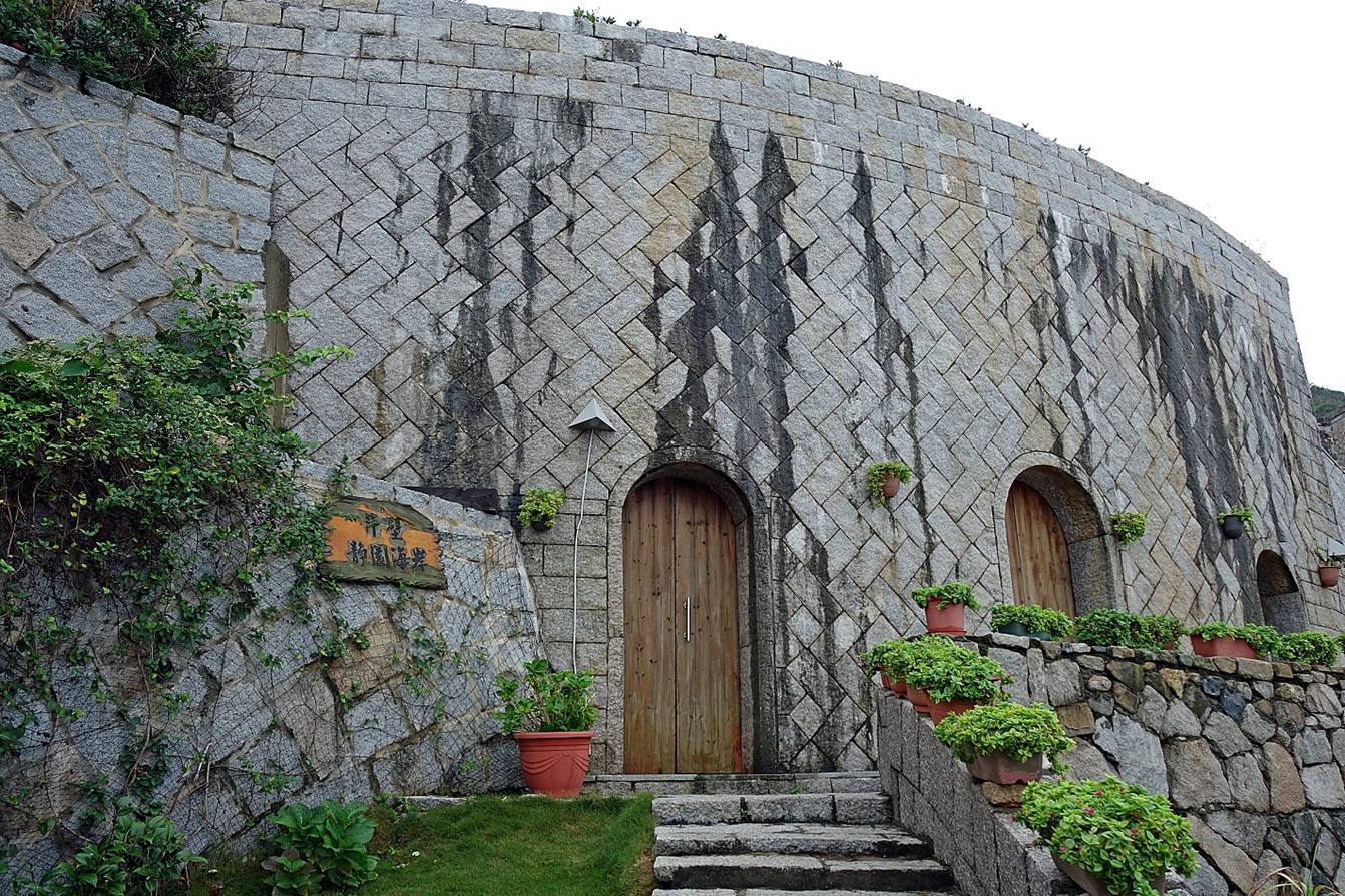
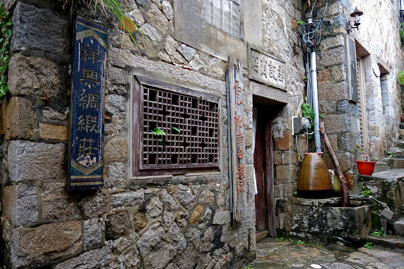
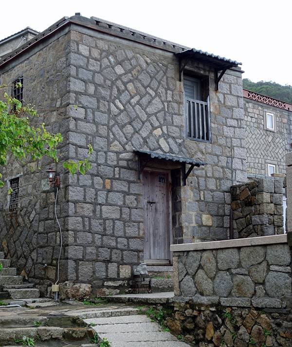
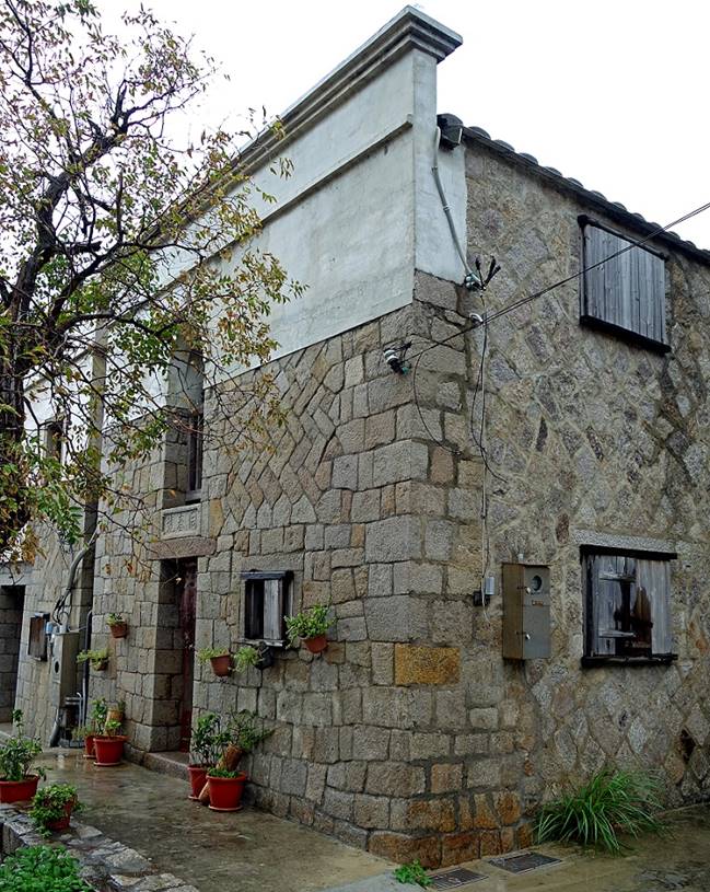
Qiaozi village and harbor:
Another stone house.
|
|
|
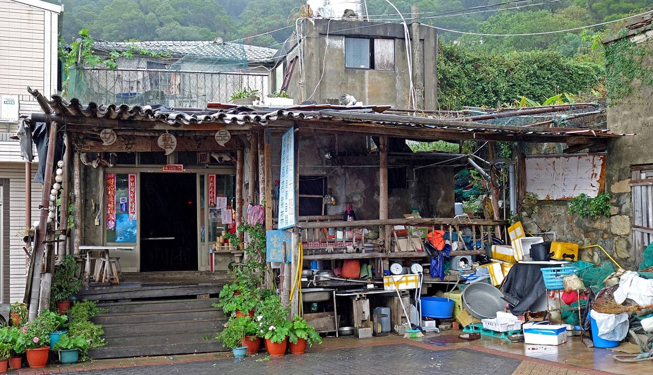
A really messy store. I
believe that it sells products from the sea, like seaweeds.
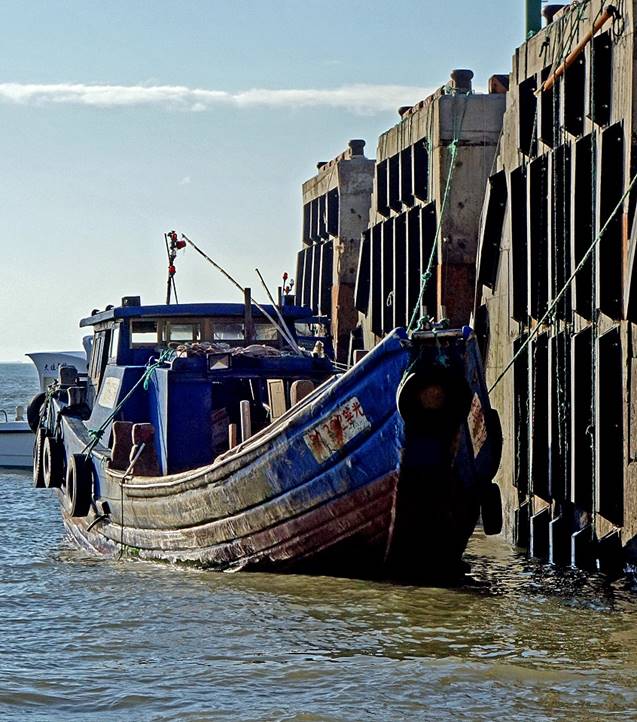
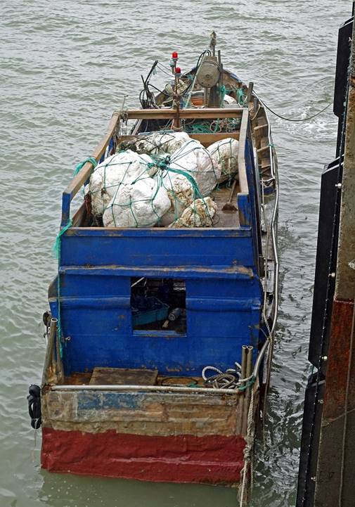
Fishing boats in the
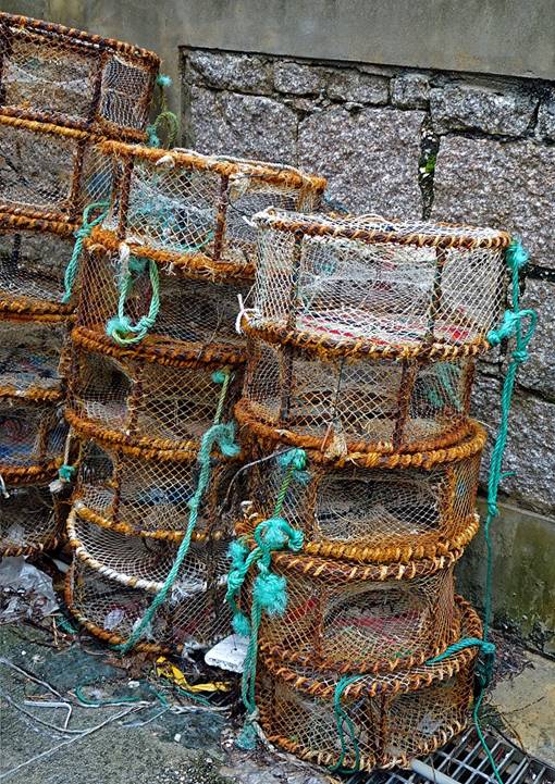
port (and baskets to catch octopuses). It remains only a handful of such boats
on Beigan. Fishing used to be a major part of the economy on the Matsu islands.
Now most sea products are imported from China.
|
|
|
|
|
|
|
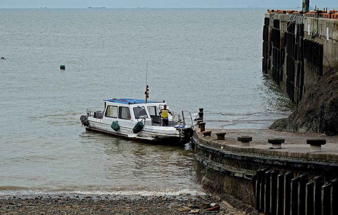
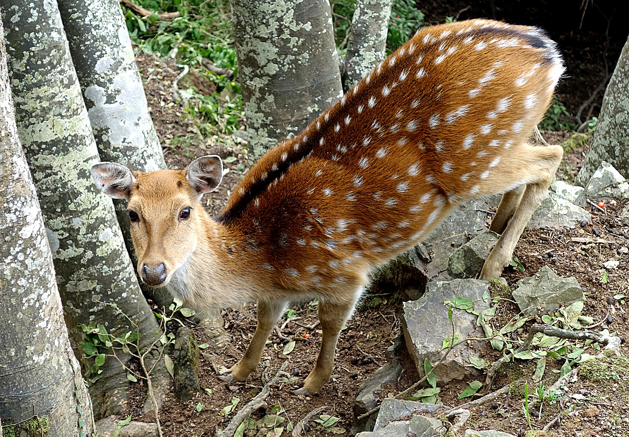
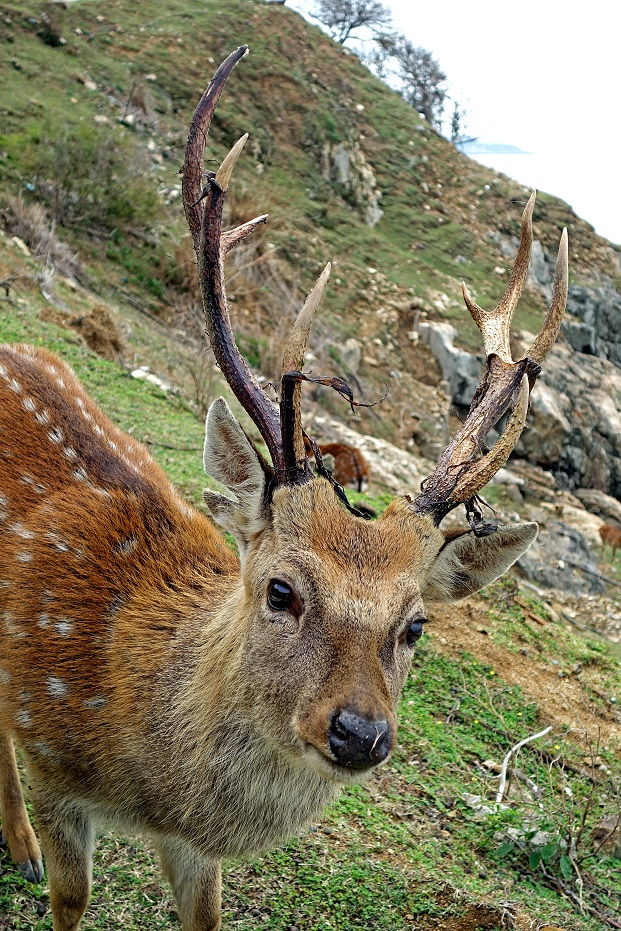
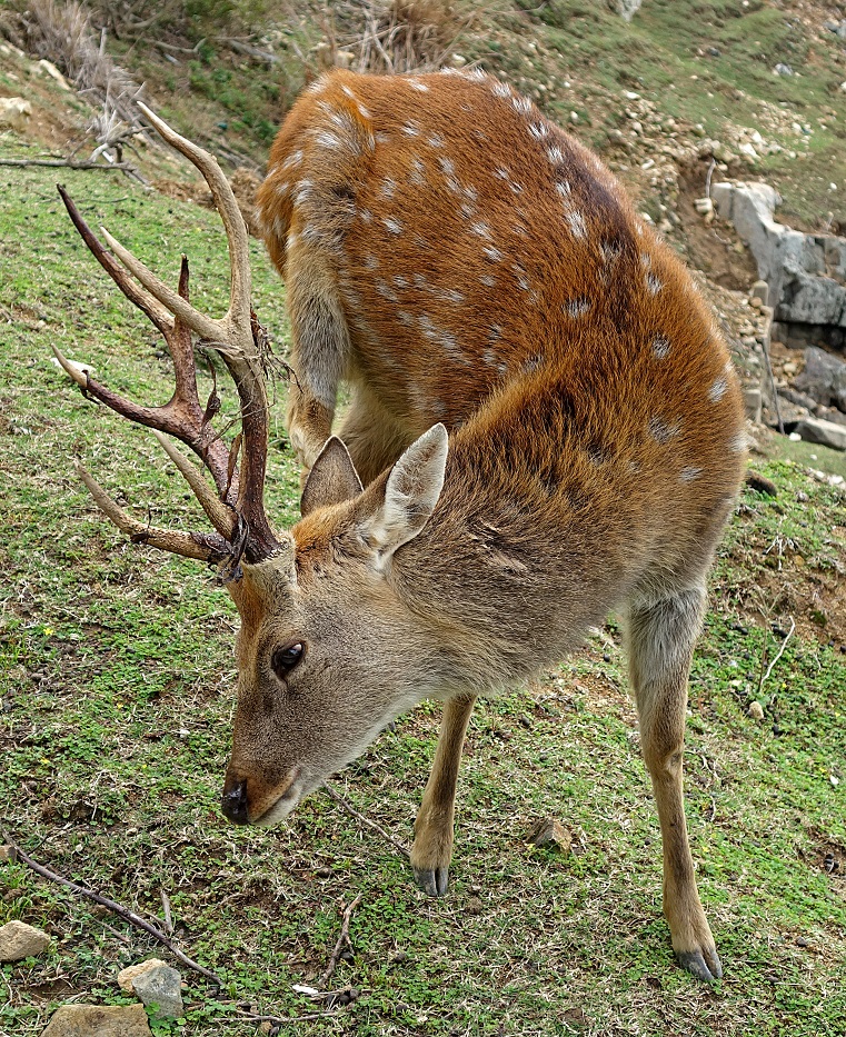
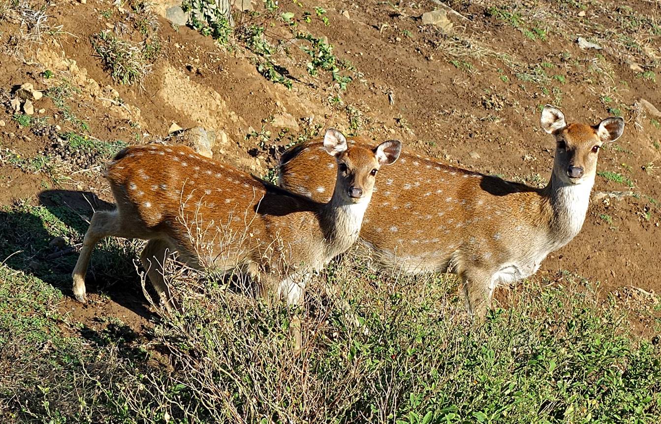
Daqiu island:
Quiaozi port is the
place to find a boat ride to go to the small Daqiu island located just a few
hundred meters away. Daqiu offers a nice hiking loop trail along its coast and
hosts a colony of spotted deers. (I heard that only one person still lives
there.)
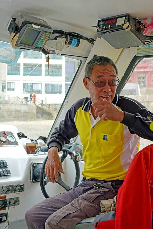
The boat doing the
crossing and its driver.
|
|
|
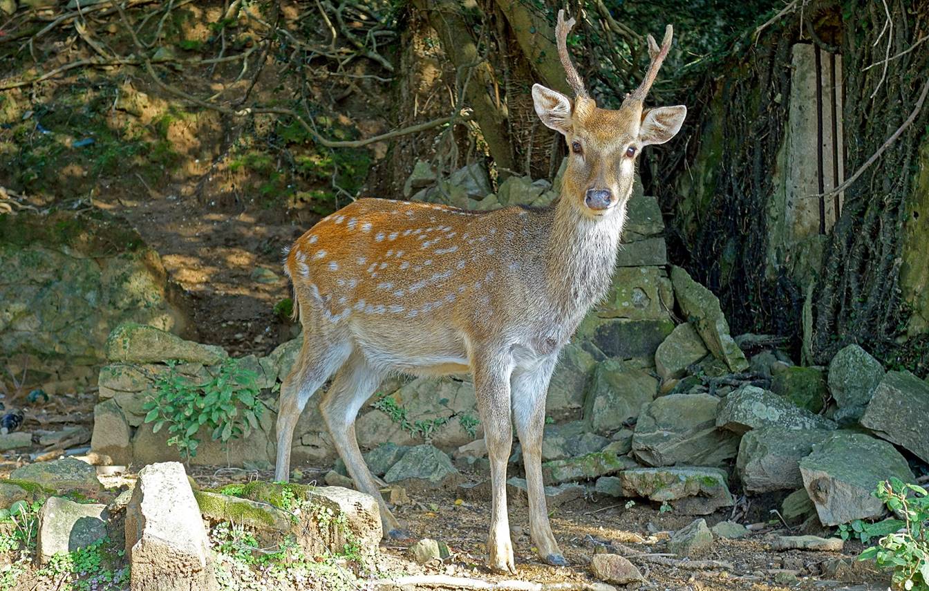
Spotted deers.
|
|
|
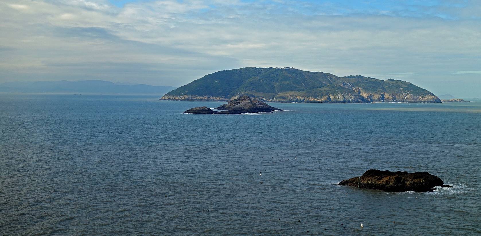
View of Gaodeng island from the trail. Gaodeng is the Matsu island that is
closest to the coast of China (8.5km) visible in the background on the left
side of the photo. It is occupied by Taiwanese military personel and is not
opened to visitors.
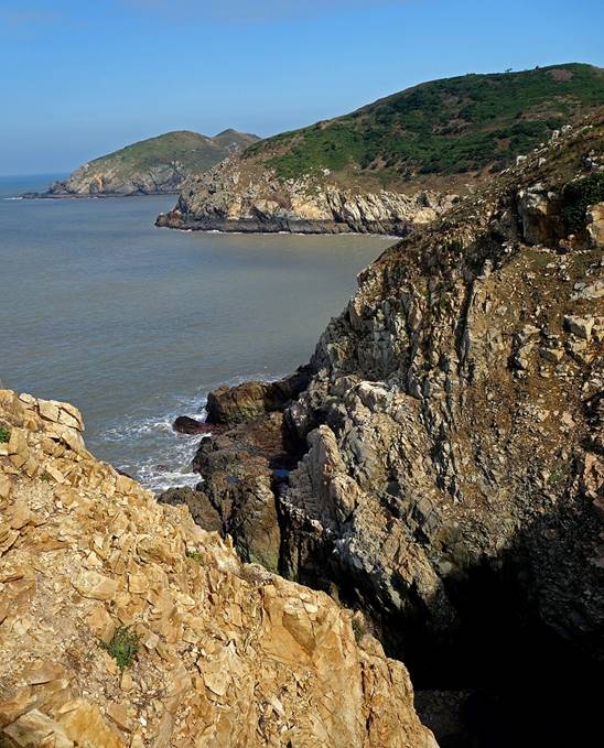
Rocky coastline in
northern Daqiu. The smaller Xiaoqiu island is visible in the middle of the
photo on the right. (Da and Xiao mean large and small, respectively, while in
this context qiu means something like hill or island.)
|
|
|
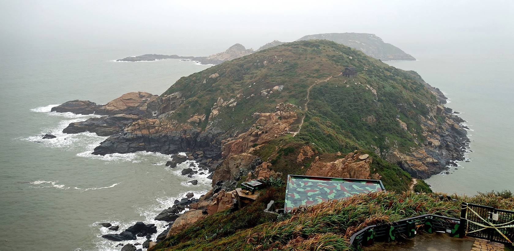
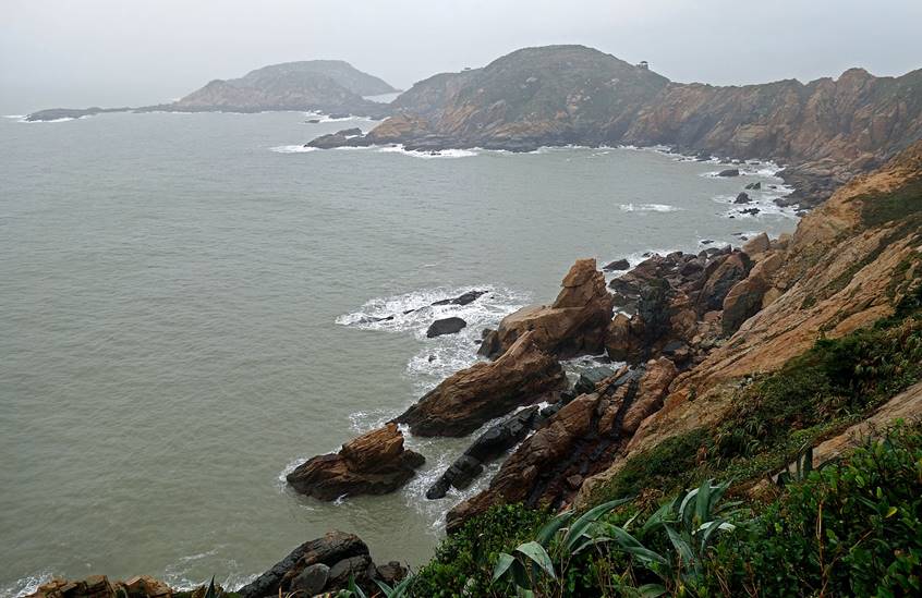
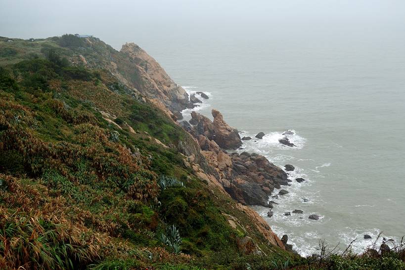
Luoshan peninsula:
Views from the terrace around the War and Peace memorial exhibition hall.
|
|
|
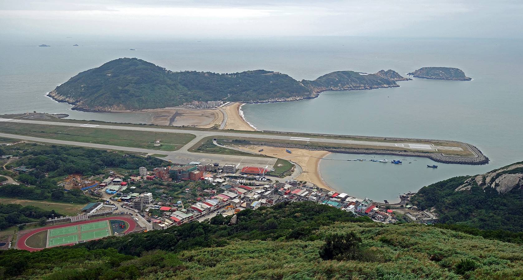
Tangqi village:
View of the village and Beigan airport from the Bi Shan (298m) lookout.
The Luoshan peninsula (see previous 3 photos) lies behind the runway on the
right of the photo.
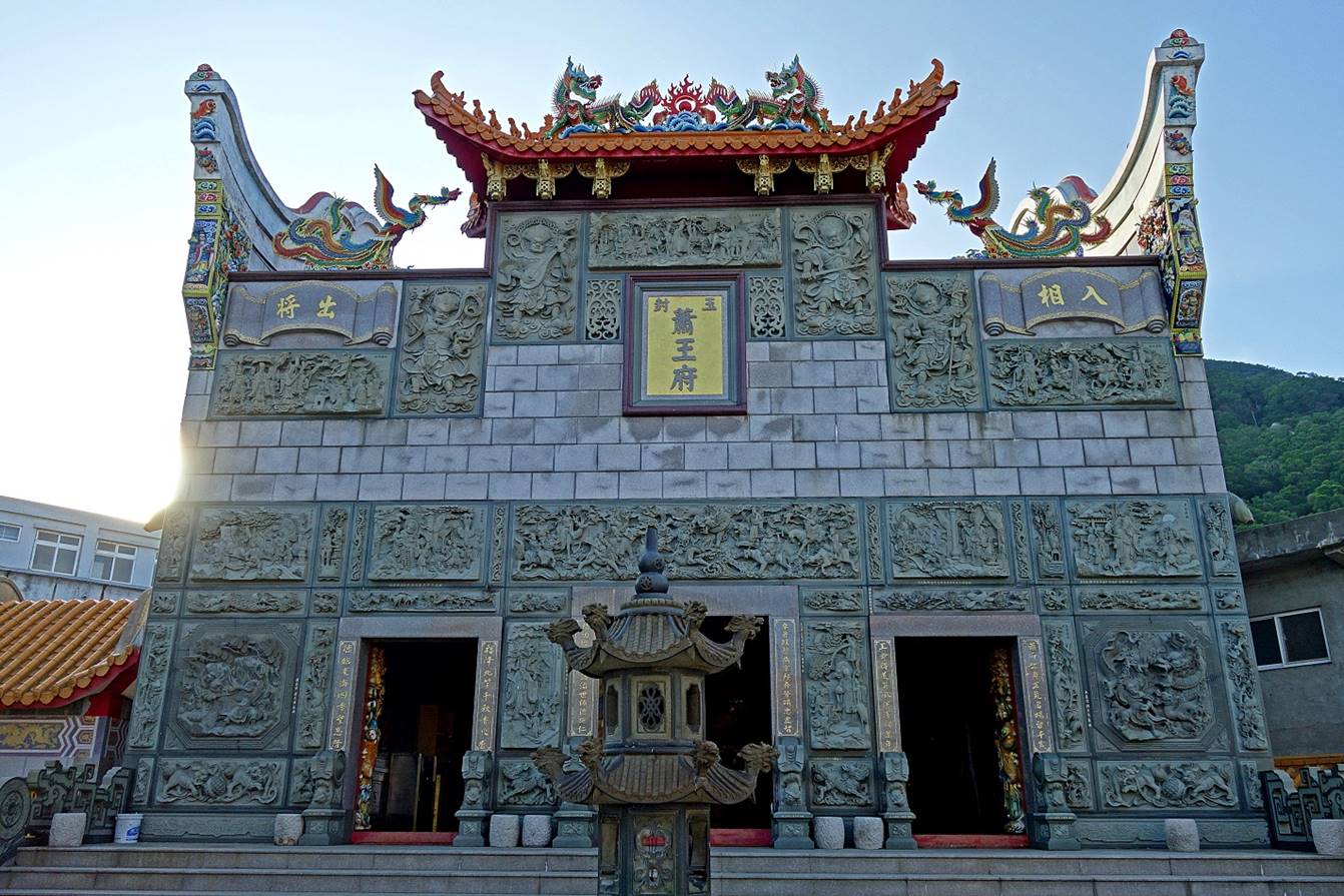
Tangqi temple.
|
|
|
|
|
|
|
|
|
|
|
|
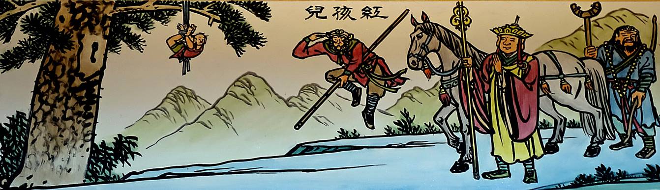
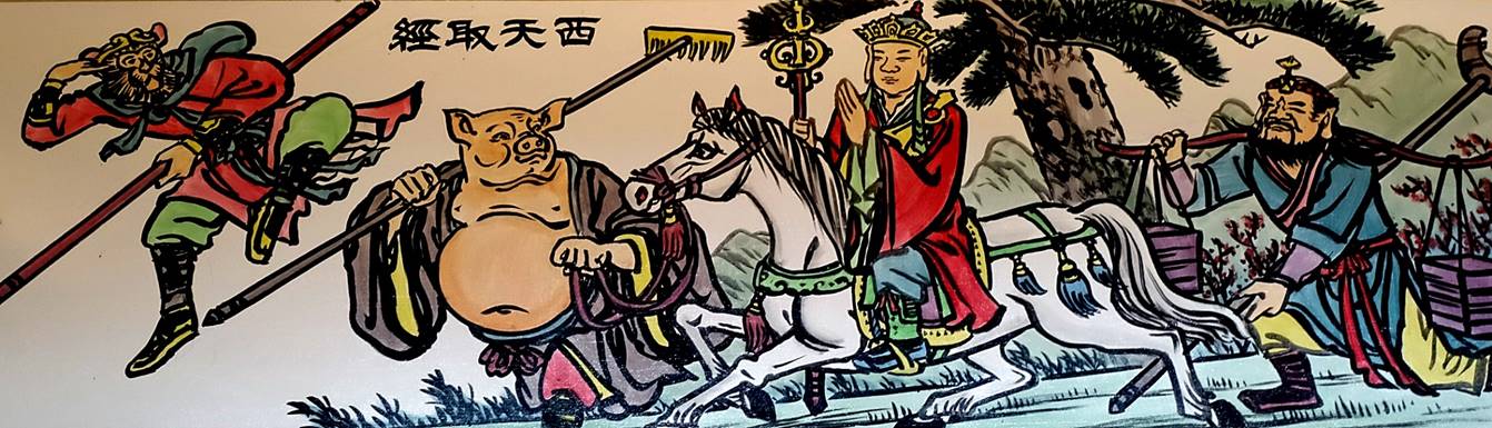
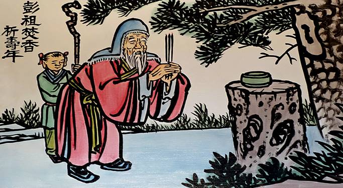
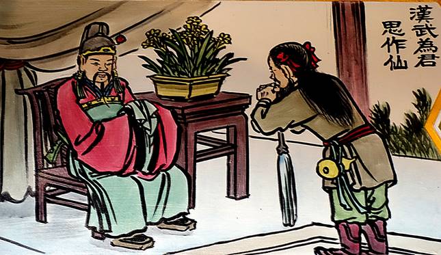
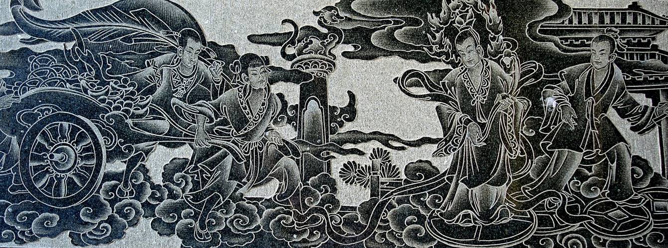
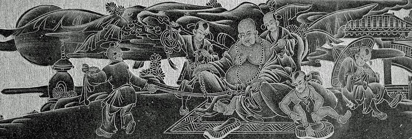
Scenes engraved in
stone.
|
|
|
|
|
|
![]()
Return
to main Matsu Islands page | Return
to main Taiwan page