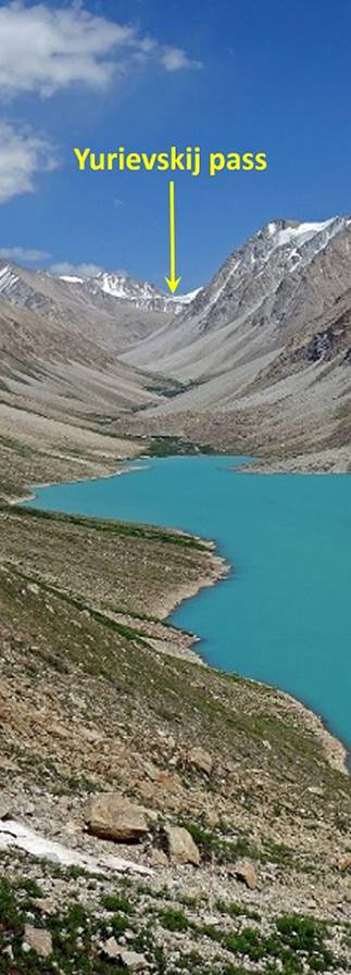
Tajikistan (2017): Trek in the Rivak valley
to Yurievskij pass
![]()
Back
to main Tajikistan 2017 webpage
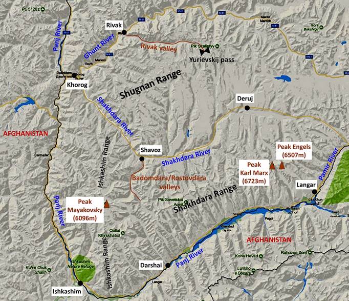
The goal of this trek was to cross the Shugnan
mountain range from the village of Rivak in the Ghunt valley on the northern side of the range (on the road
between Khorog and Murghab)
to the village of Sezhd in the Shakhdara
valley on the southern side of the range, via Yurievskij
pass (~5000m) and the Durumkul lake. See maps below.
However, although we reached the pass, we could not cross it due to a
continuous vertical snow wall on the other side. Instead, we had to retrace our
path backward to Rivak. The actual start (and,
therefore, finish) of this trek was the last point reachable by car along a bad
old track, 3km east of Rivak.
Maps:
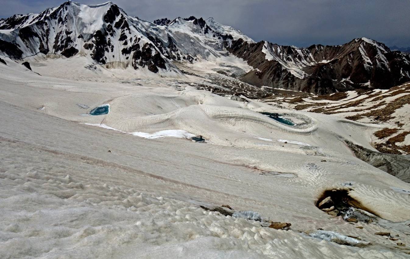
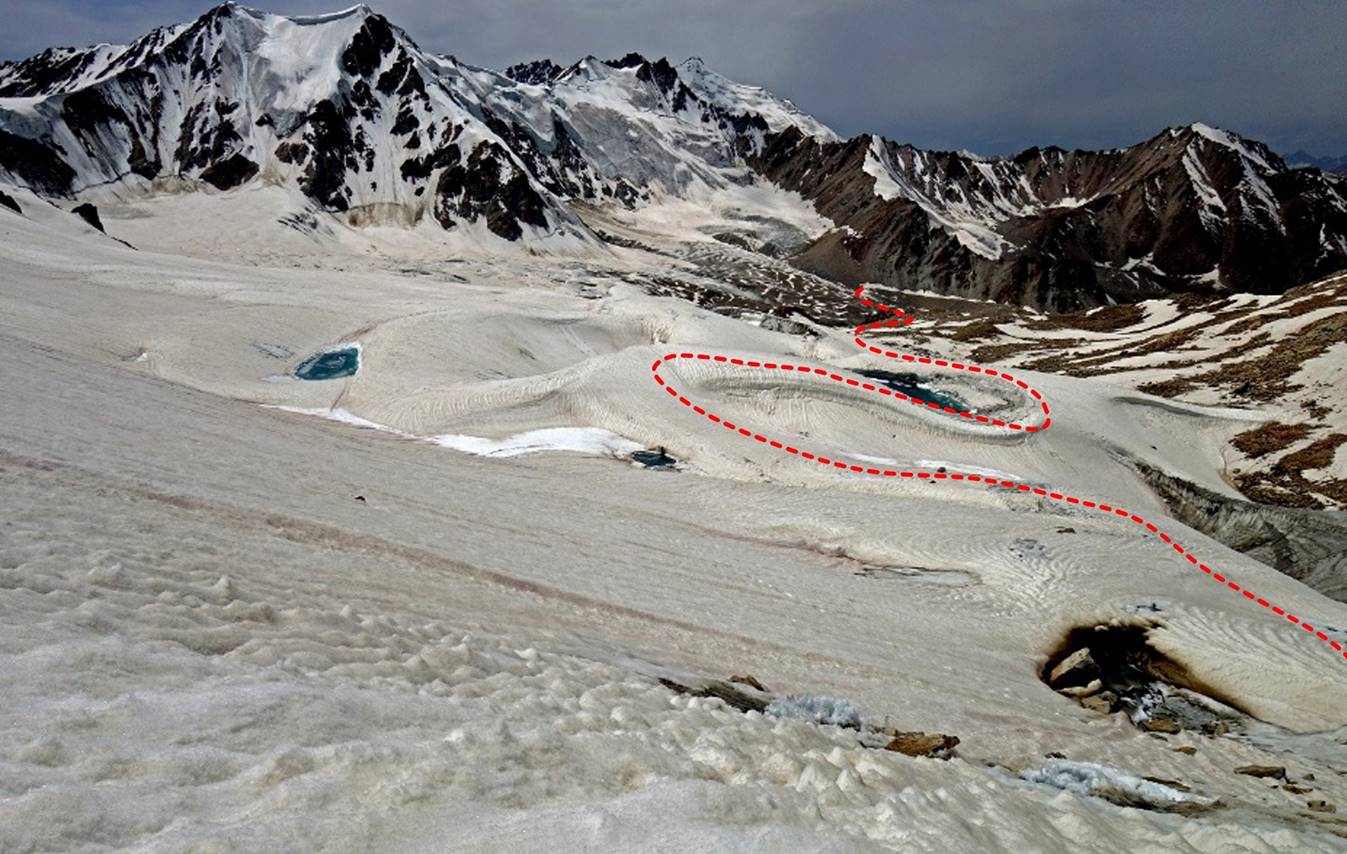
- Left: Map of south Gorno-Badakhshan.
Right: Annotated aerial image in
which the paths in red and blue dotted lines are the planned itinerary, with
the red part being the actual itinerary. The red path follows the Rivak river upstream to Yurievskij pass. (This river, which begins has its source
under the glacier beneath the pass, reaches the Ghunt
river in the village of Rivak.)
|
|
|
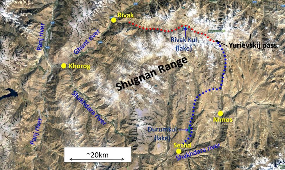
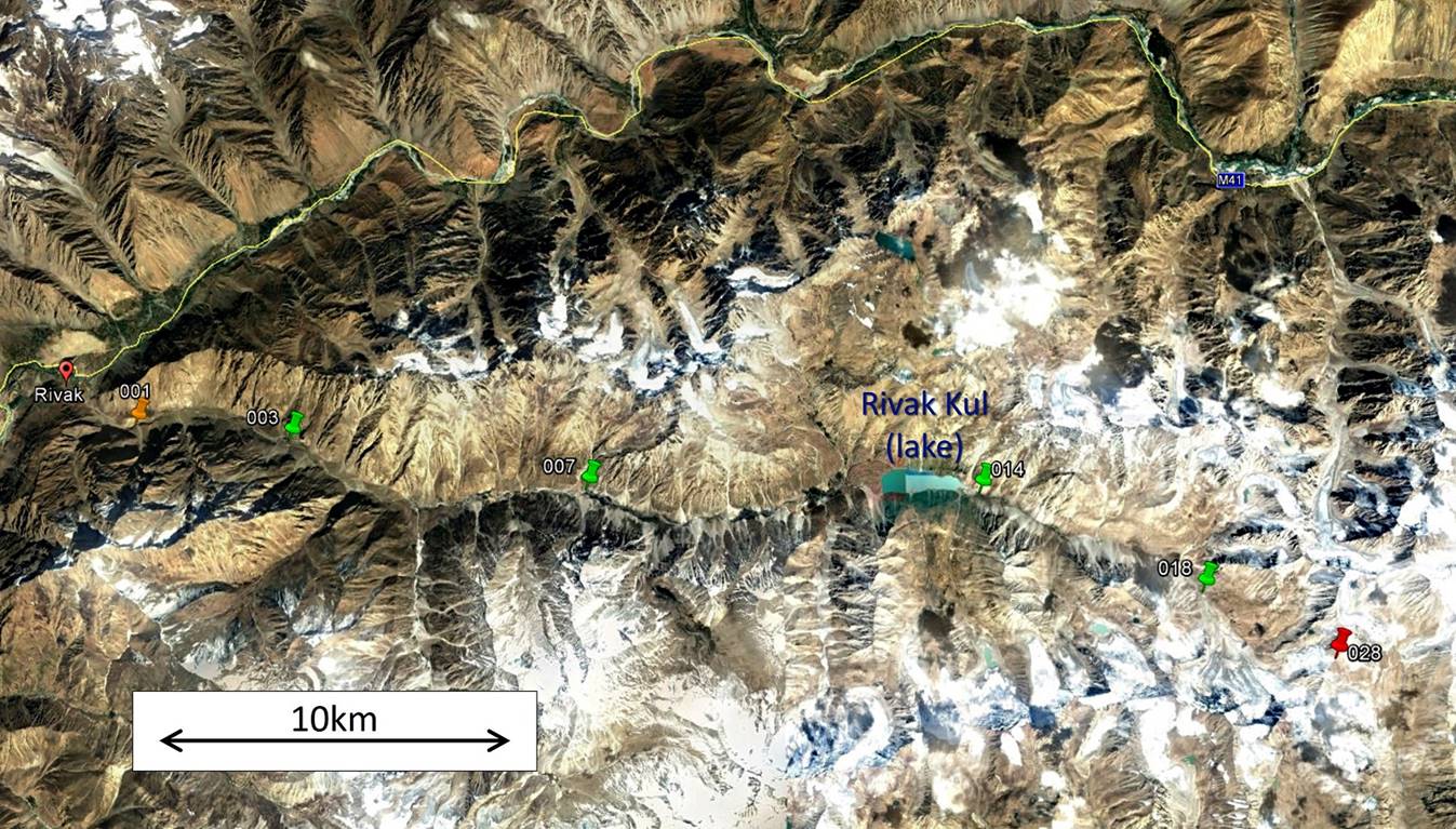
- Google Earth aerial image annotated with some recorded GPS
waypoints. Waypoint 001 (gold pin) is the start of the trek, the waypoints
marked with green pins (003, 007, 014, and 018) are the locations of our four
successive camps on the way up to Yurievskij pass,
and waypoint 028 (red) is the location of the pass. Click here
(.kmz file) to access all the recorded GPS waypoints
(29 in total) in Google Earth.
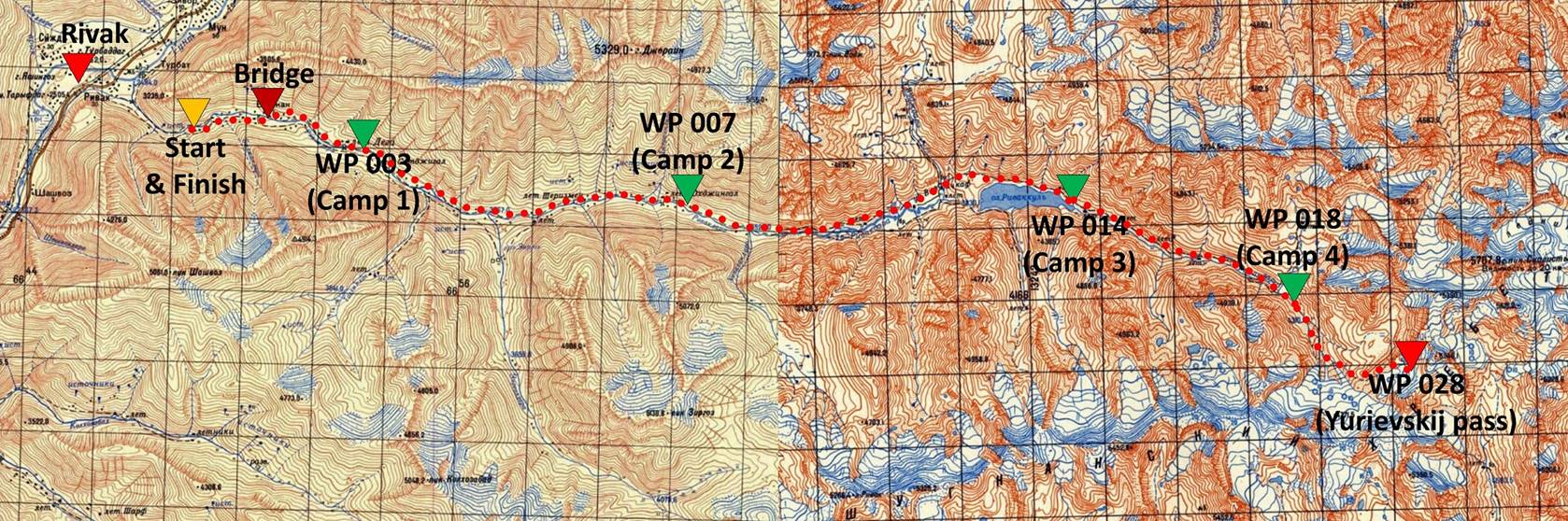
- Approximate itinerary plotted in a collage of two 100K
topographic maps covering the trek. To see these two topographic maps at full
resolution, click these two links: 096 (left part) and 085 (right part). Overlays of these two maps in Google
Earth are also available in the .kmz file containing the GPS waypoints.
Jumach, Almaz, and I reached Khorog early in the morning of August 25th after a long
drive from Dushanbe. Khorog, the main town in Gorno-Badakhshan, is small (~30,000 people)
and not particularly interesting or beautiful. A former Russian military post established
in 1896 at the height of the Great Game between the Russian and British
empires, it now serves as an administrative center and a transportation hub
between Dushanbe, Murghab, the Wakhan
valley, and smaller surrounding valleys. It is one of the few places (the only
one?) in the entire province of Gorno-Badakhshan
that provide hotels, restaurants, and an active bazar. It also hosts offices of
the Aga Khan Development Network, which is the main source of local funding
(schools, university, health care, city park...).
There we met the other two members of the team, Nozimsho
and Muboriz, bought some additional food, and ate
lunch before heading to the start of the trek (an hour-drive from Khorog). We started hiking in the mid-afternoon. This kind
of rush was probably a mistake since, of the past 4 nights, I had spent two in
planes (from San Francisco to Dushanbe via Istanbul) and one in our car
(between Dushanbe and Khorog).
The photos shown below are sorted from Khorog
to the Yurievskij pass. Most were taken while
trekking upward toward the pass, a few others on the way down.
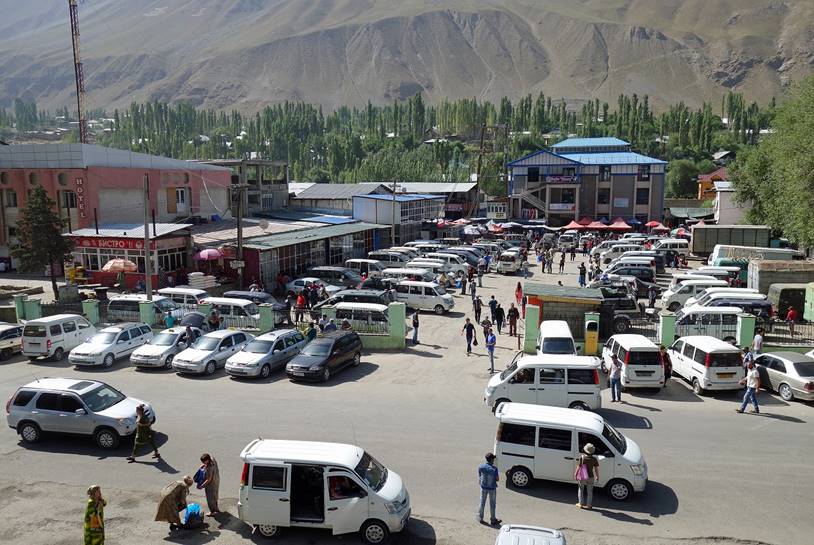
In Khorog, a transporation
hub with a small active bazar and many restaurants.
|
|
|
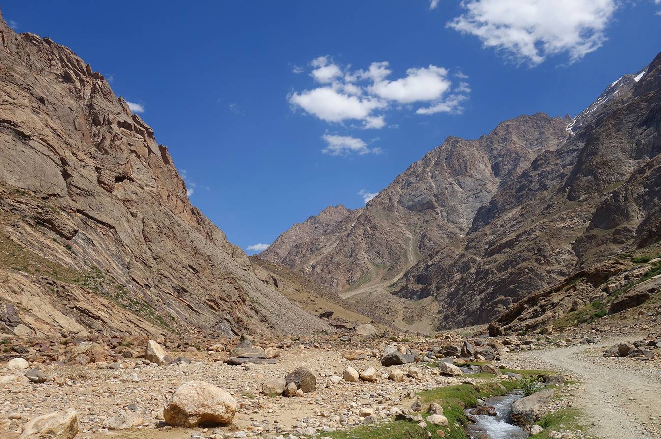
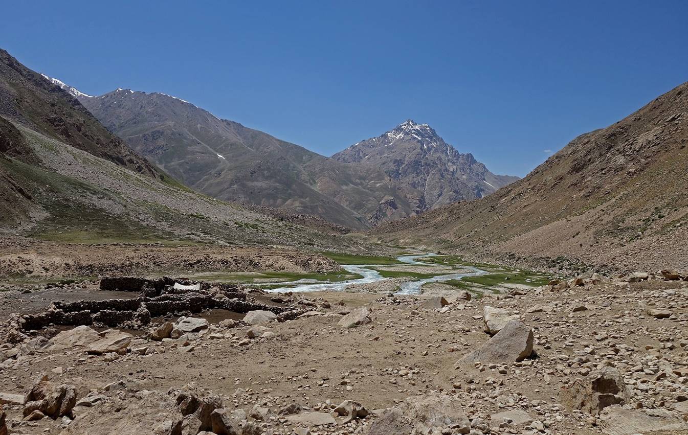
Entrance of the Rivak valley near the
village of Rivak.
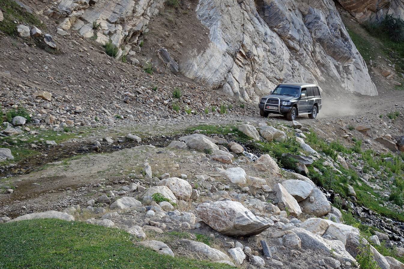
Our car took us as to the start of the
trek along a former track built in Soviet time.
Shepherds with their sheep and goats
near the start of the trek.
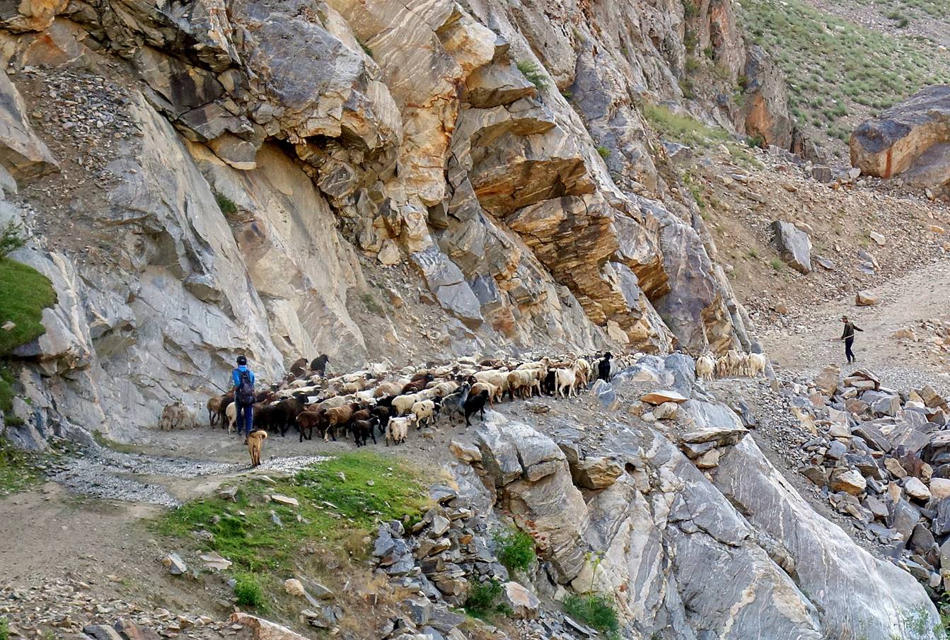
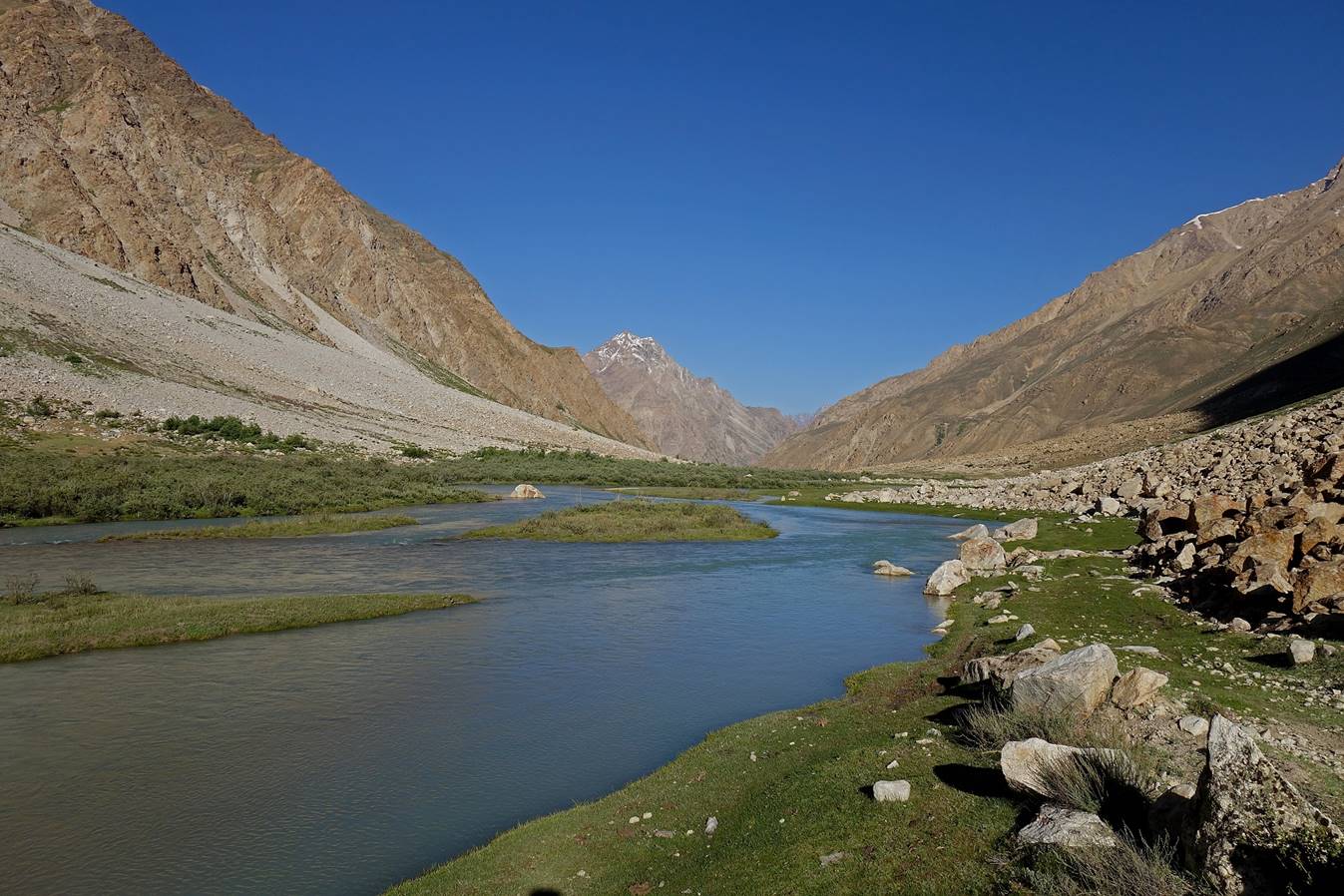
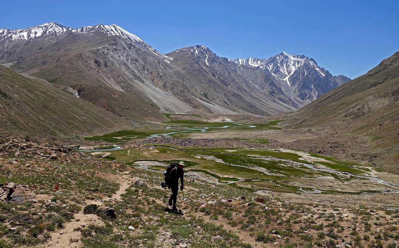
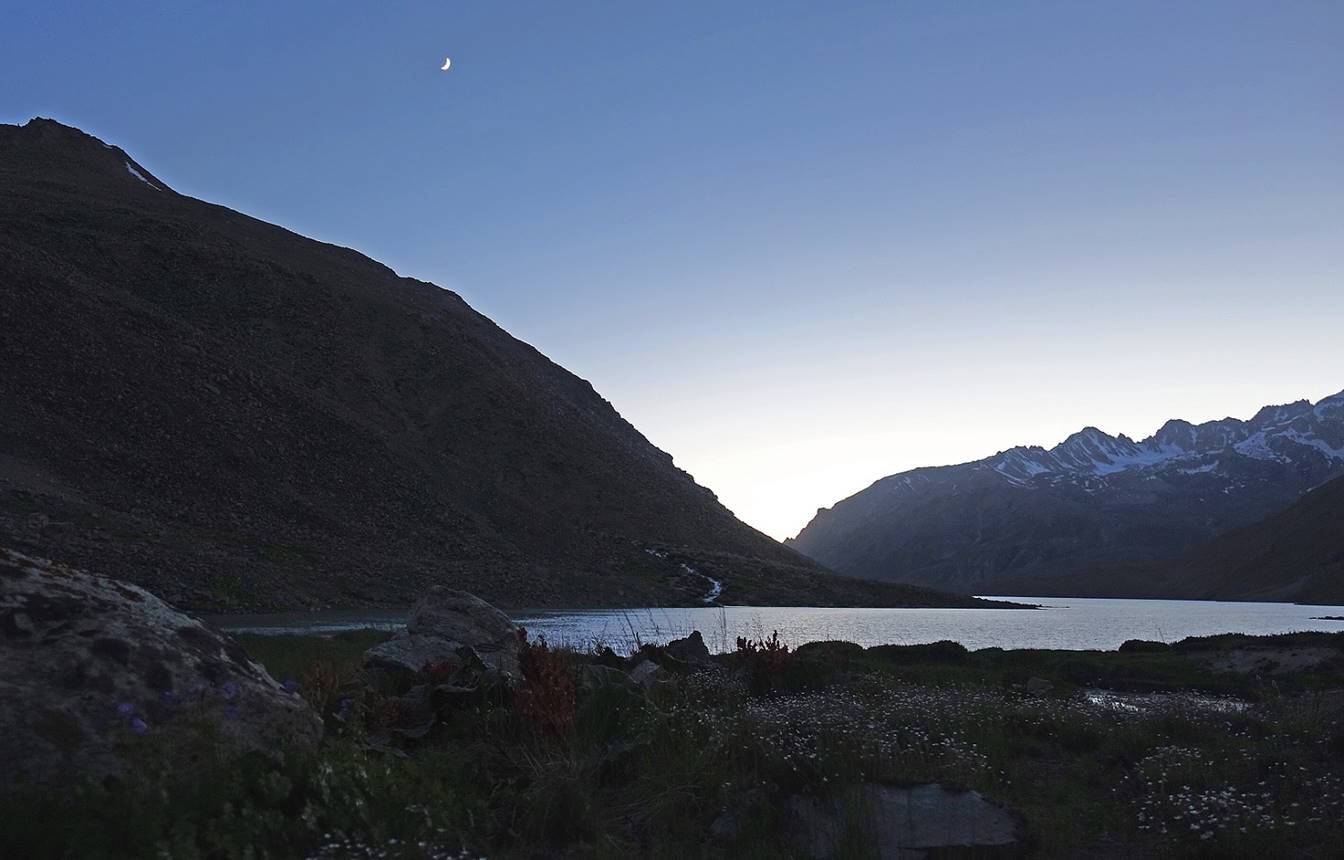
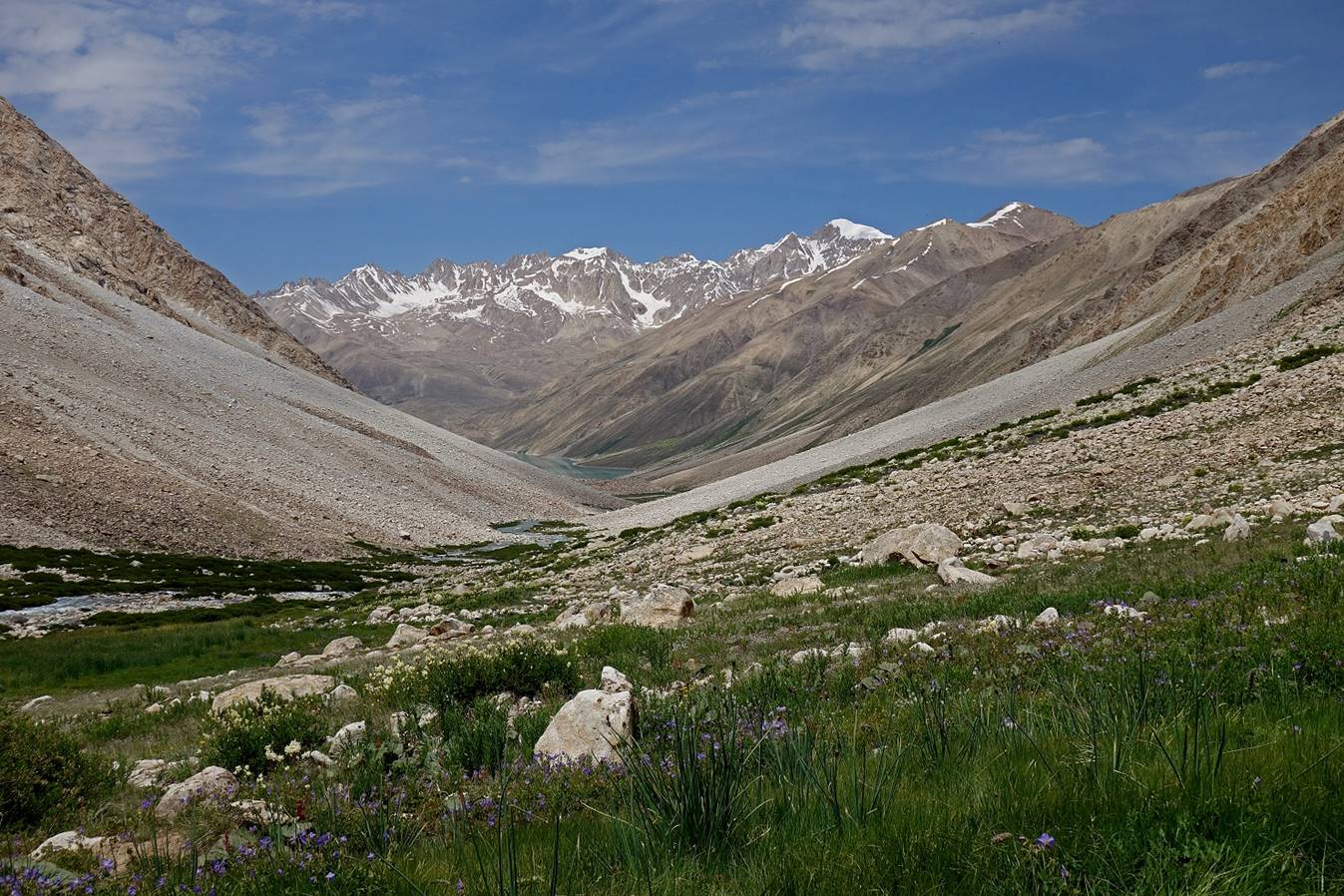
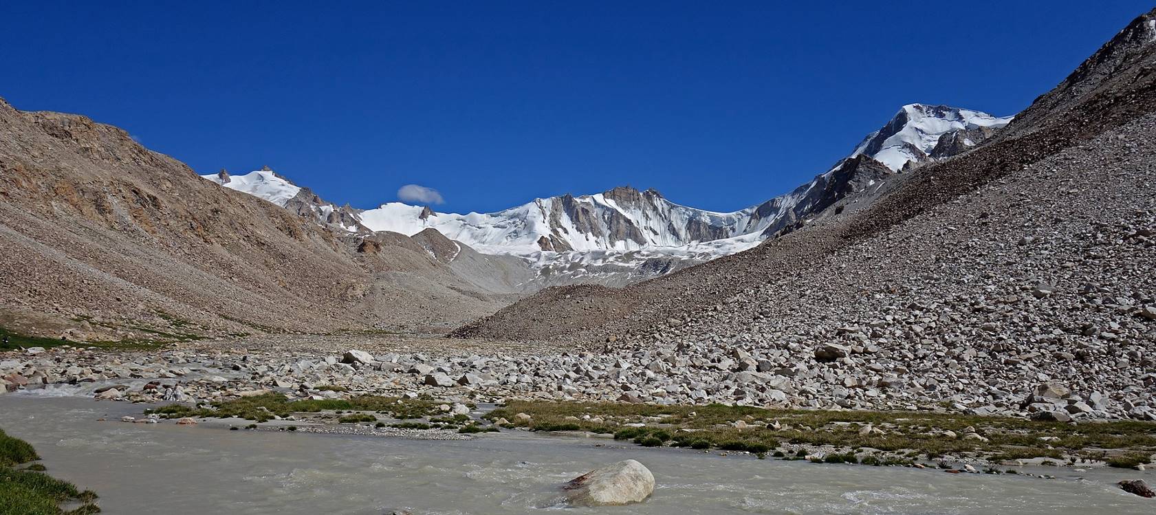
From the start of the trek (2675m) to Camp 1 (3040m).
Crossing the Rivak
river (on a solid bridge marked in the topographic map
at the top of this page). From there on we stayed on the right bank (left side
during the ascent) of the river.
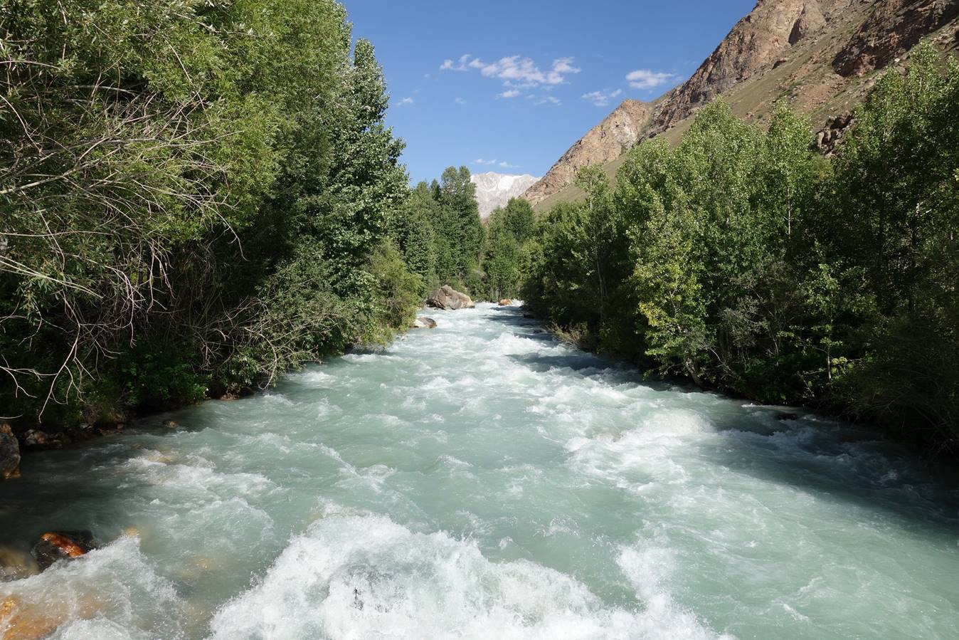
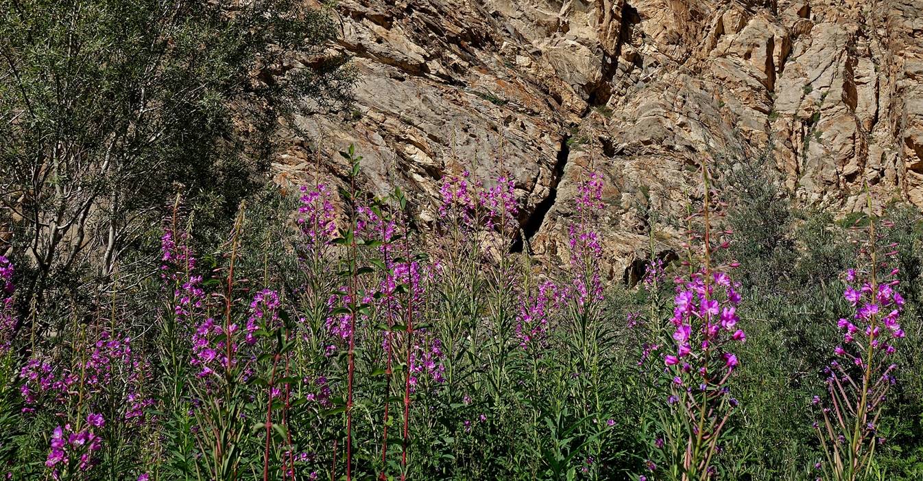
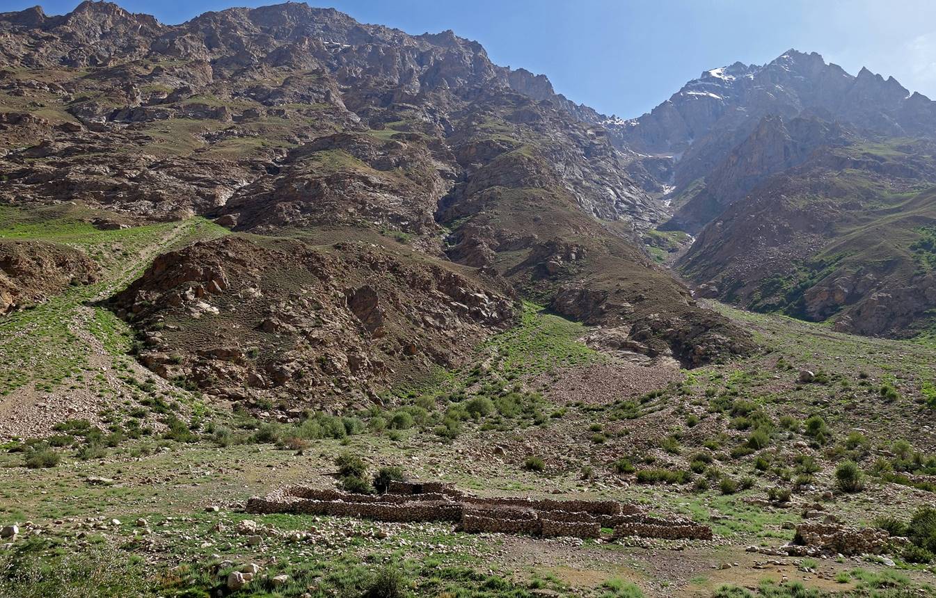
Rocky ridges on the side of the valley.
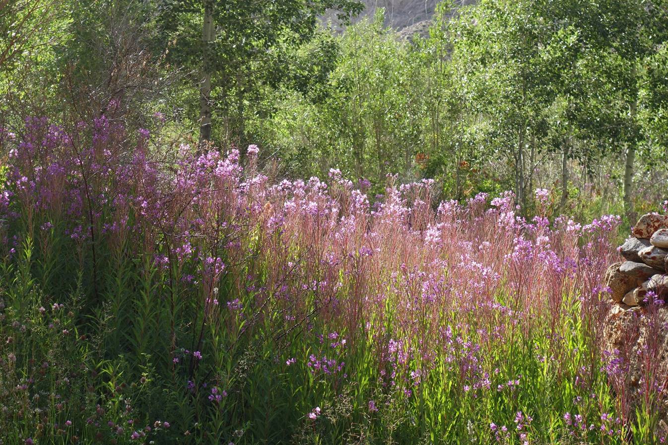
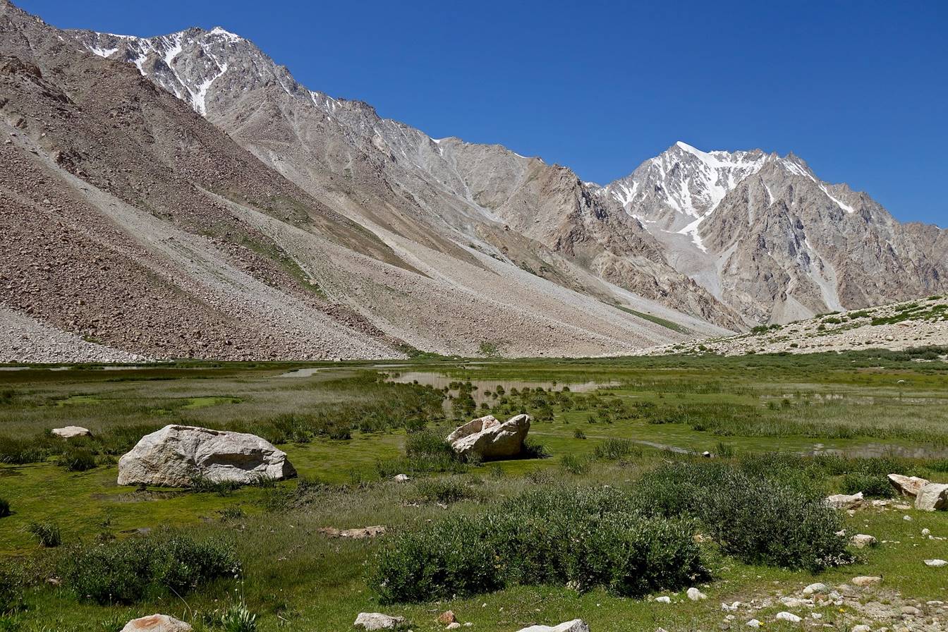
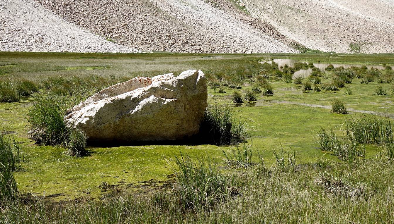
Green floor of the lower Rivak valley.
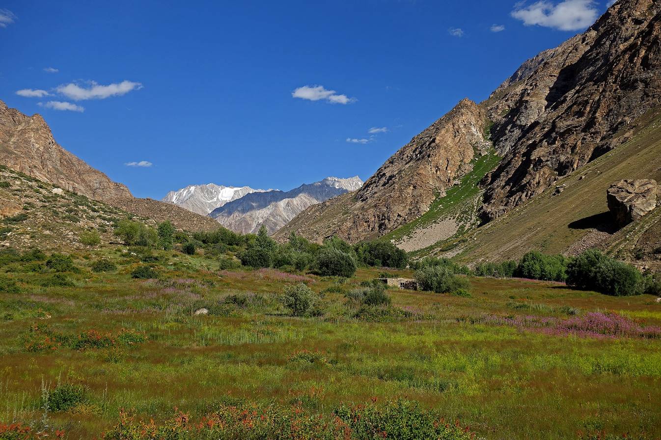
We established our first camp (waypoint
003) in the meadow of the following photo. This would have been a very
comfortable camping place, had aggressive biting flies not also claimed it as
their territory.
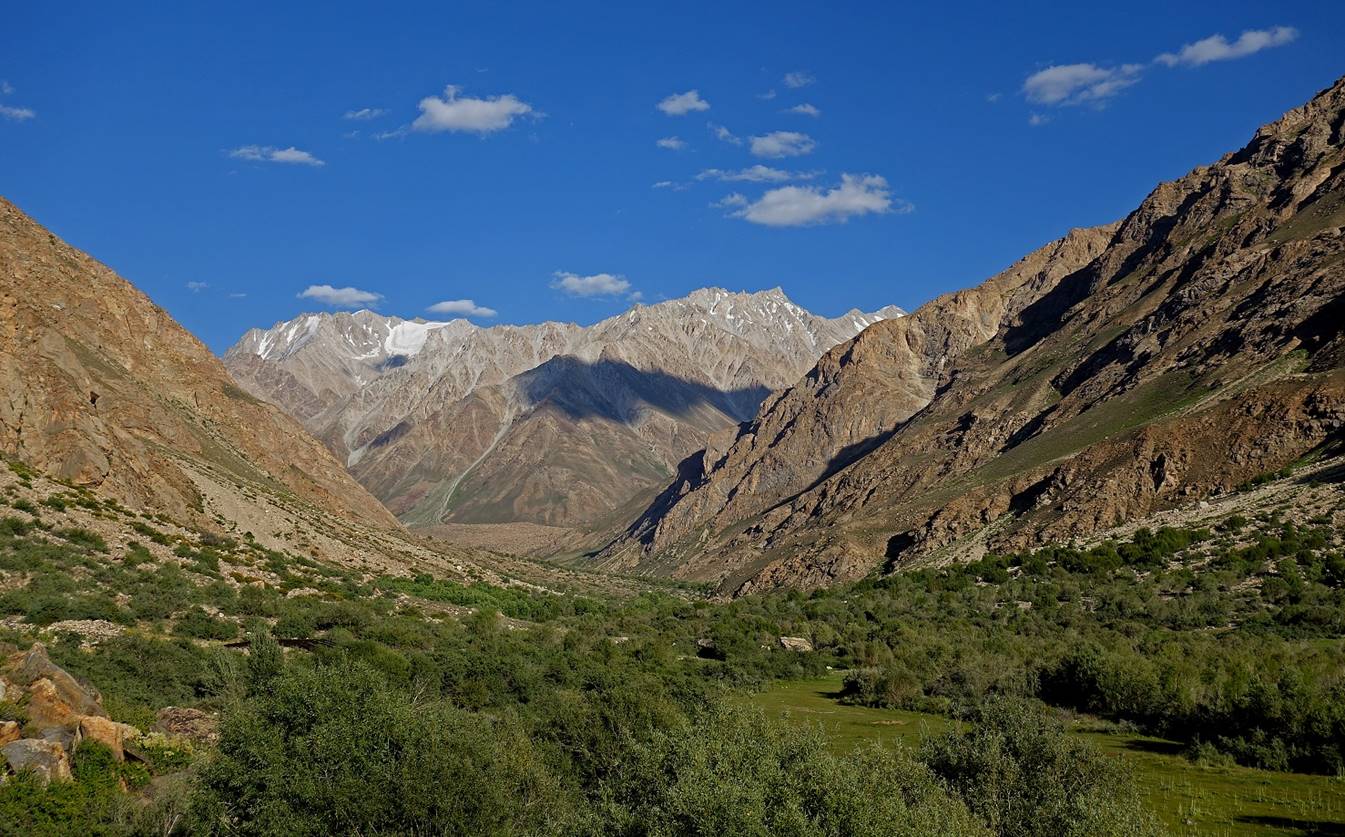
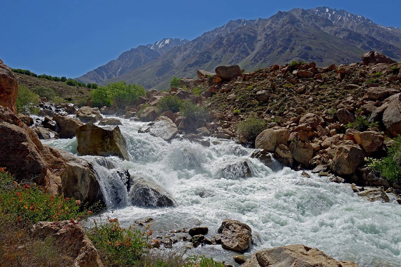
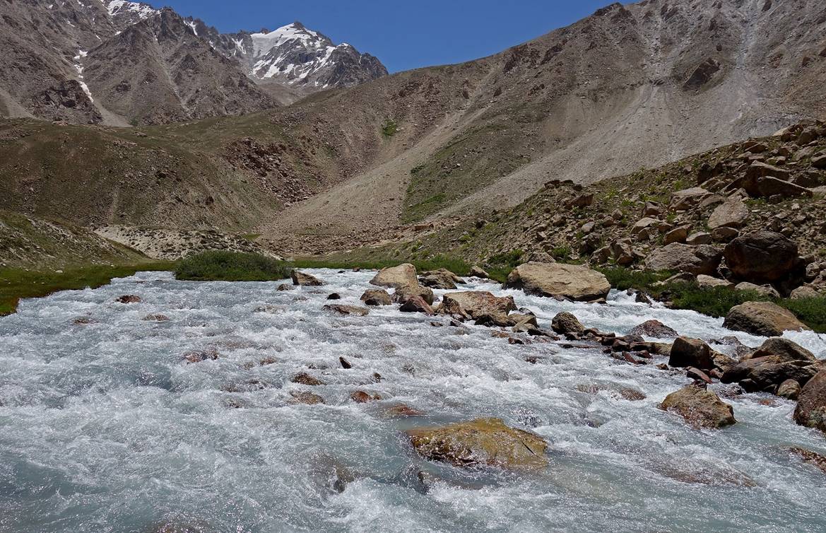
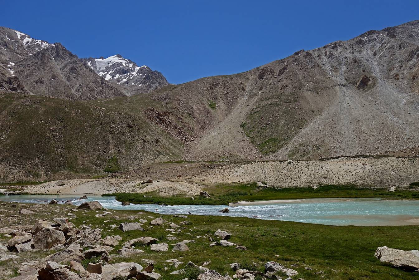
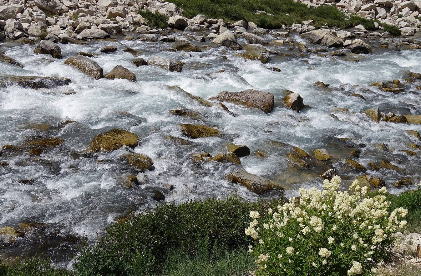
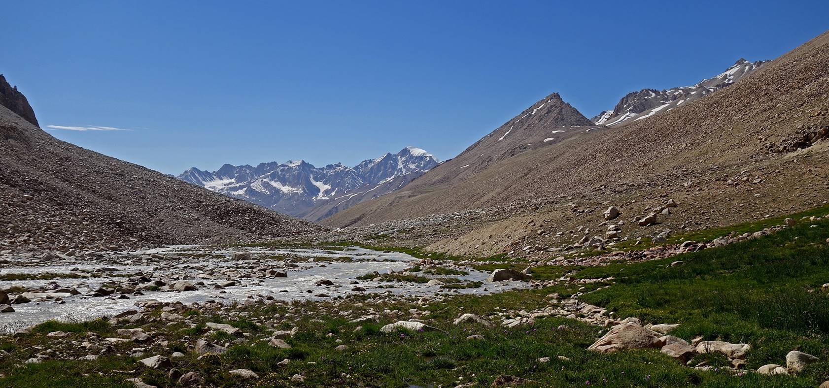
From Camp 1 (3040m) to Camp 2 (3450m).
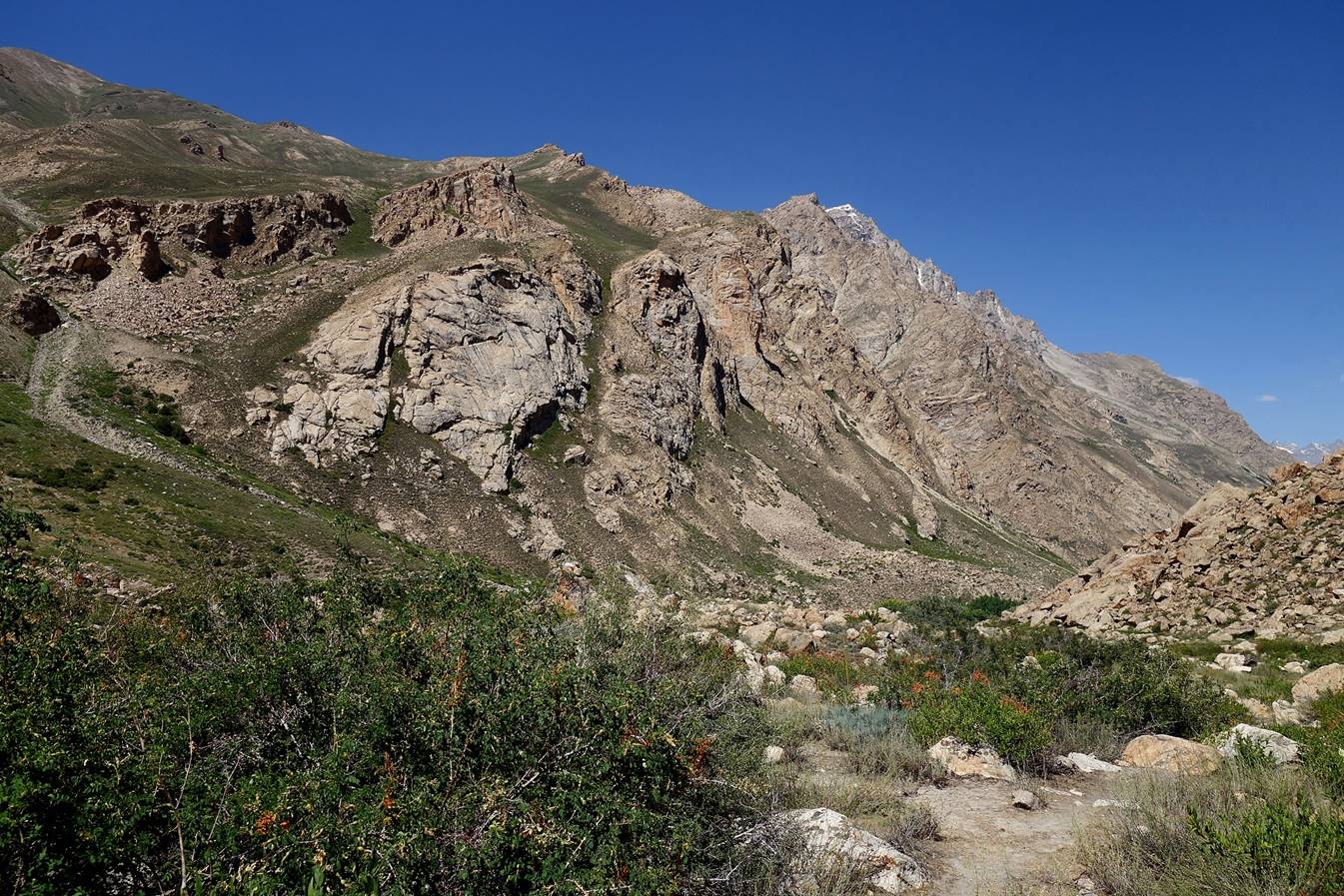
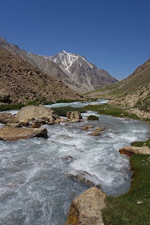
Until the base of the ascent to the Yurievskij pass (Camp 4), the Rivak
river alternates between fast roaring sections and
surprisingly peaceful sections, a contrast illustrated by the two photos below.
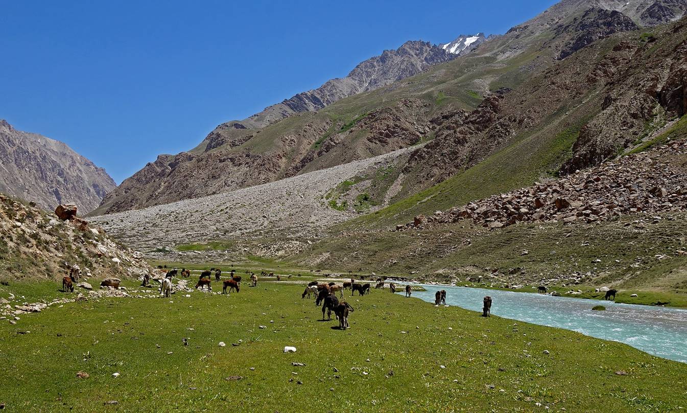
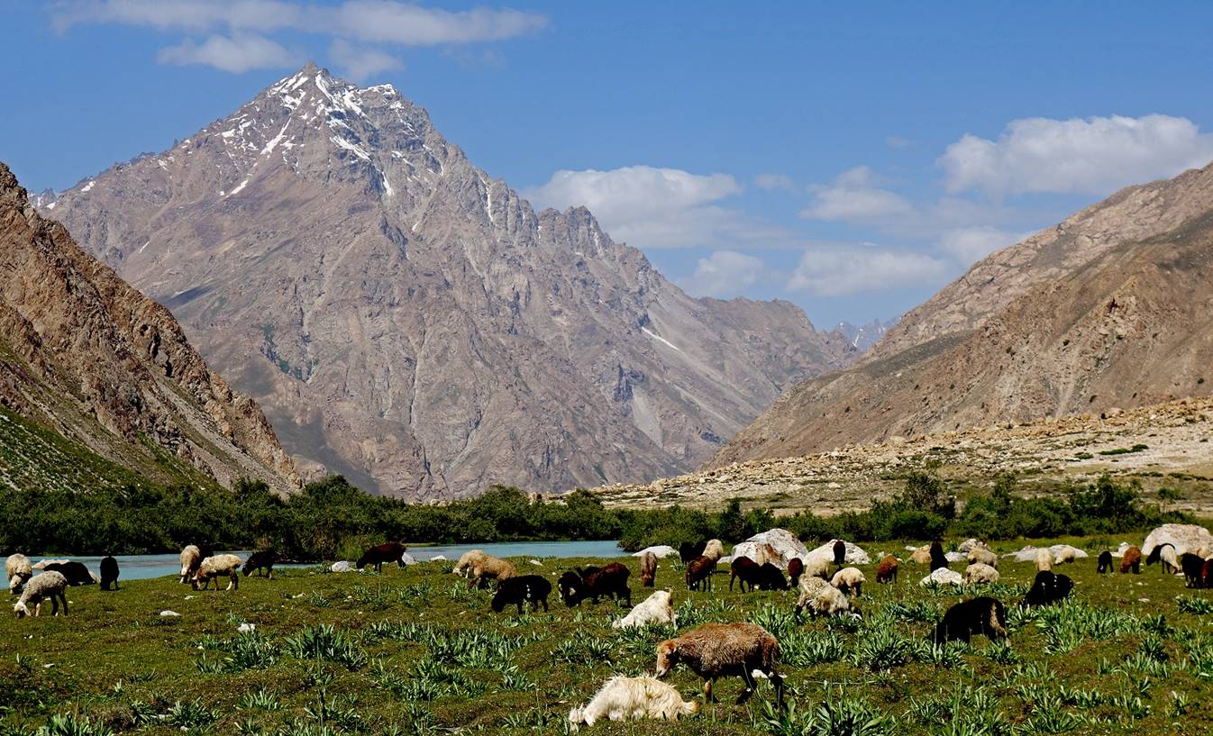
On this second day we
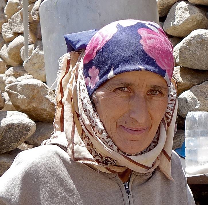
reached the only active shepherd settlement in the entire valley. A family of
five (two parents and their children) from Rivak were taking care of several hundred
sheep, goats and cows, some belonging to them, most to other owners. We were
greeted with bowls of incredibly delicious yoghourt, as well as with freshly
cooked bread and tasty butter and cream.


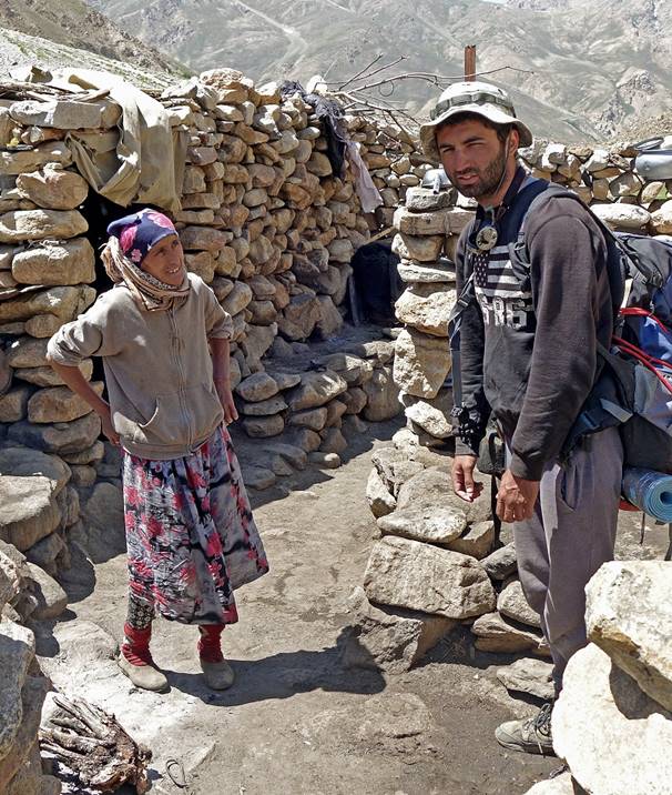
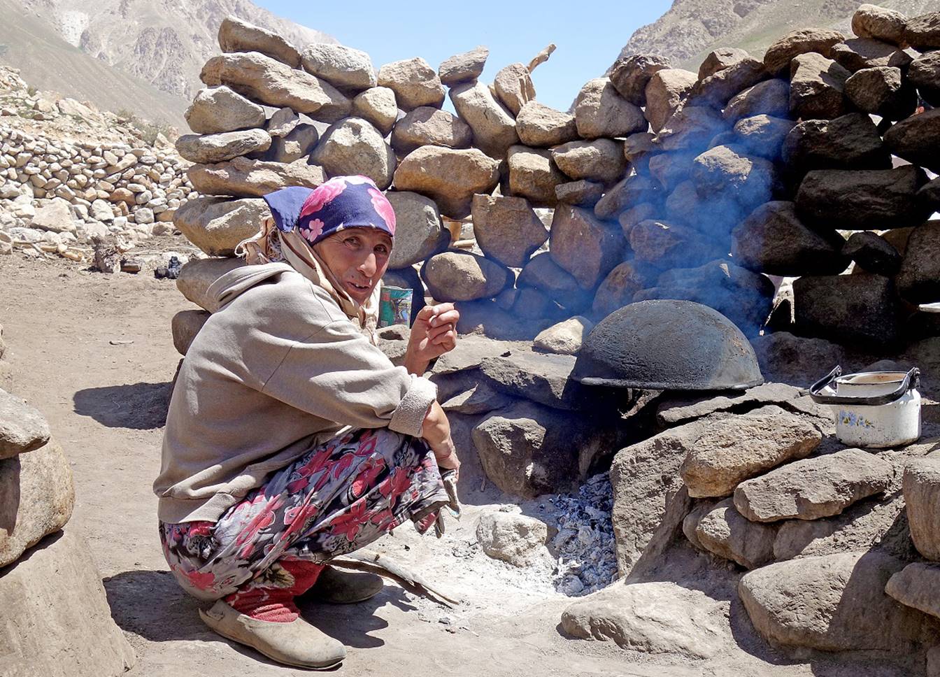
Our ″host″
greeting Muboriz (left) and cooking fresh bread for us (below). She told us
that she had not seen any visitors in the valley for at least 3 years.
|
|
|
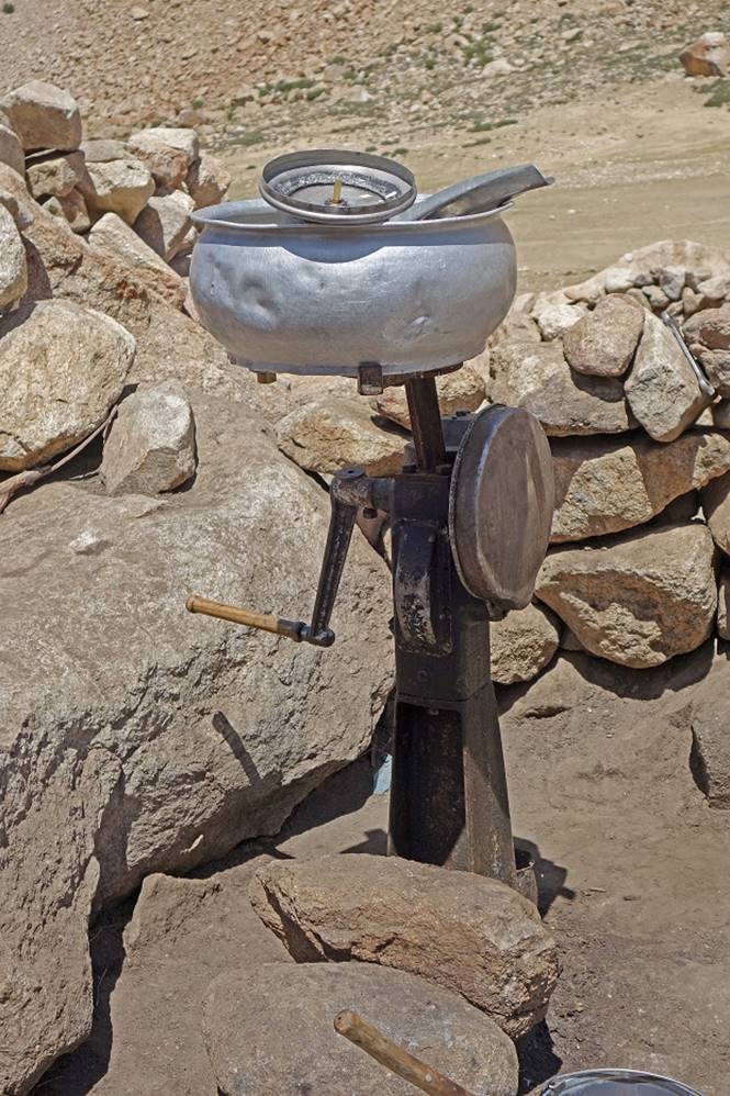
Left: Nozimsho and
Muboriz in the main house of the settlement. Right: the butter making machine.
|
|
|

Leaving the settlement.
Further up we
met the shepherd and his youngest son.
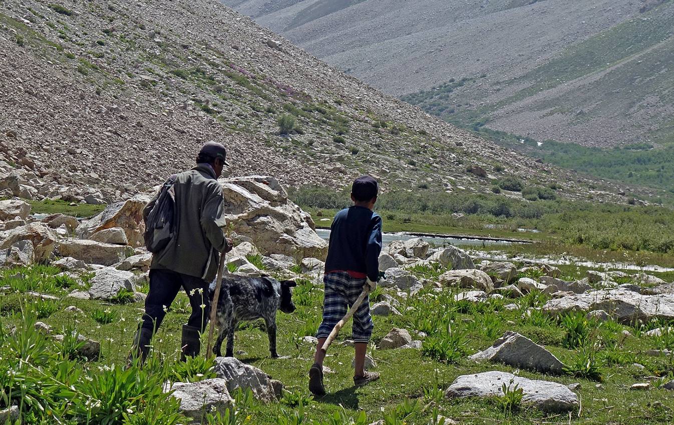

We set our 2nd camp (waypoint 007) on a
flat grassy area.

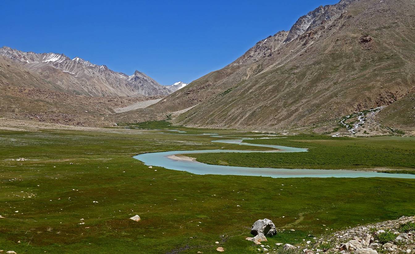
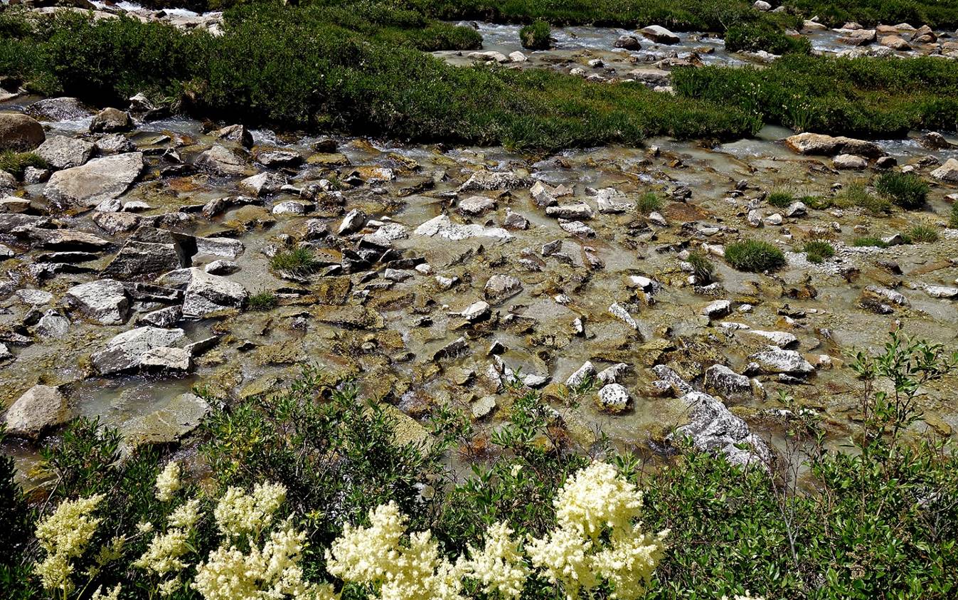
From Camp 2 (3450m) to Camp 3 (3830m).
Leaving Camp 2.
Like on the previous day, the Rivak river alternates between
roaring and leisurely sections.

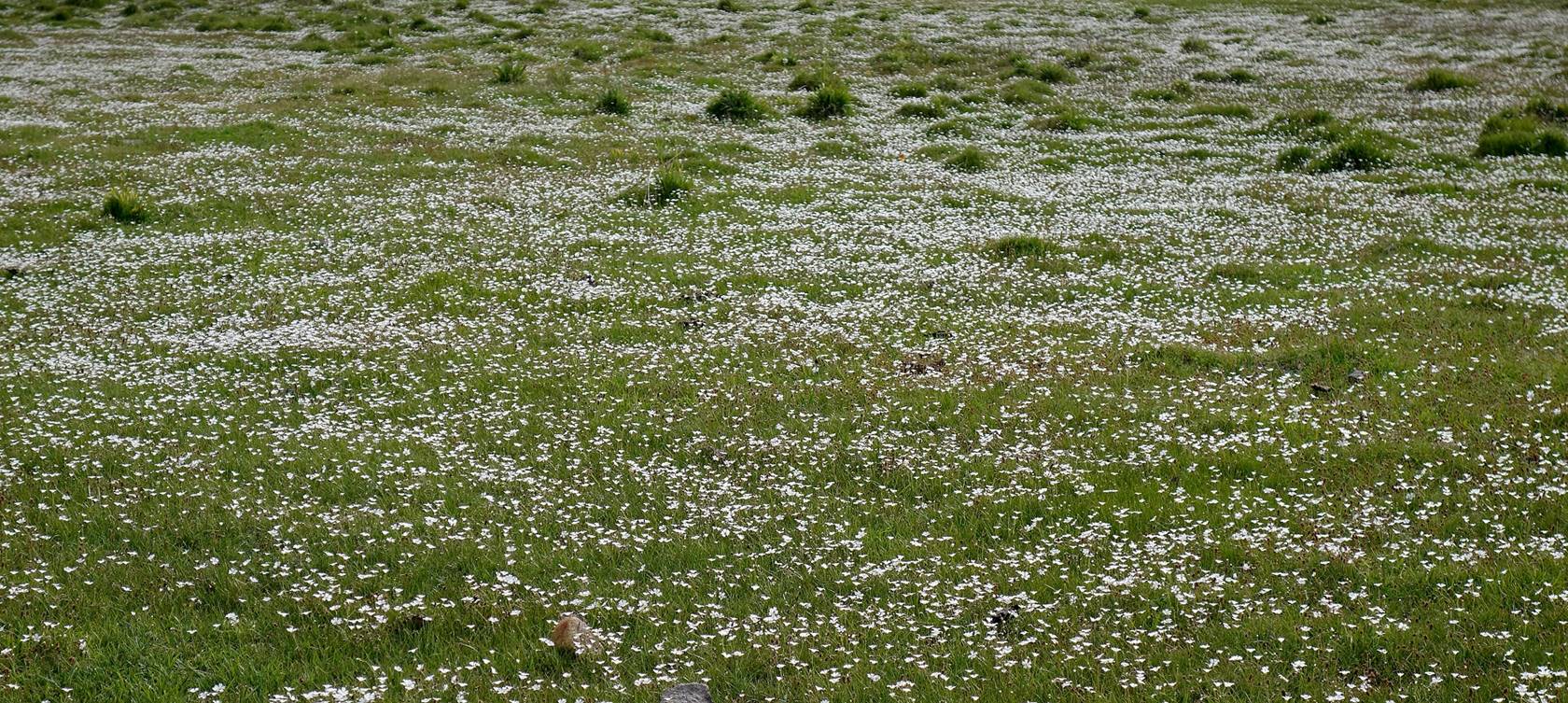
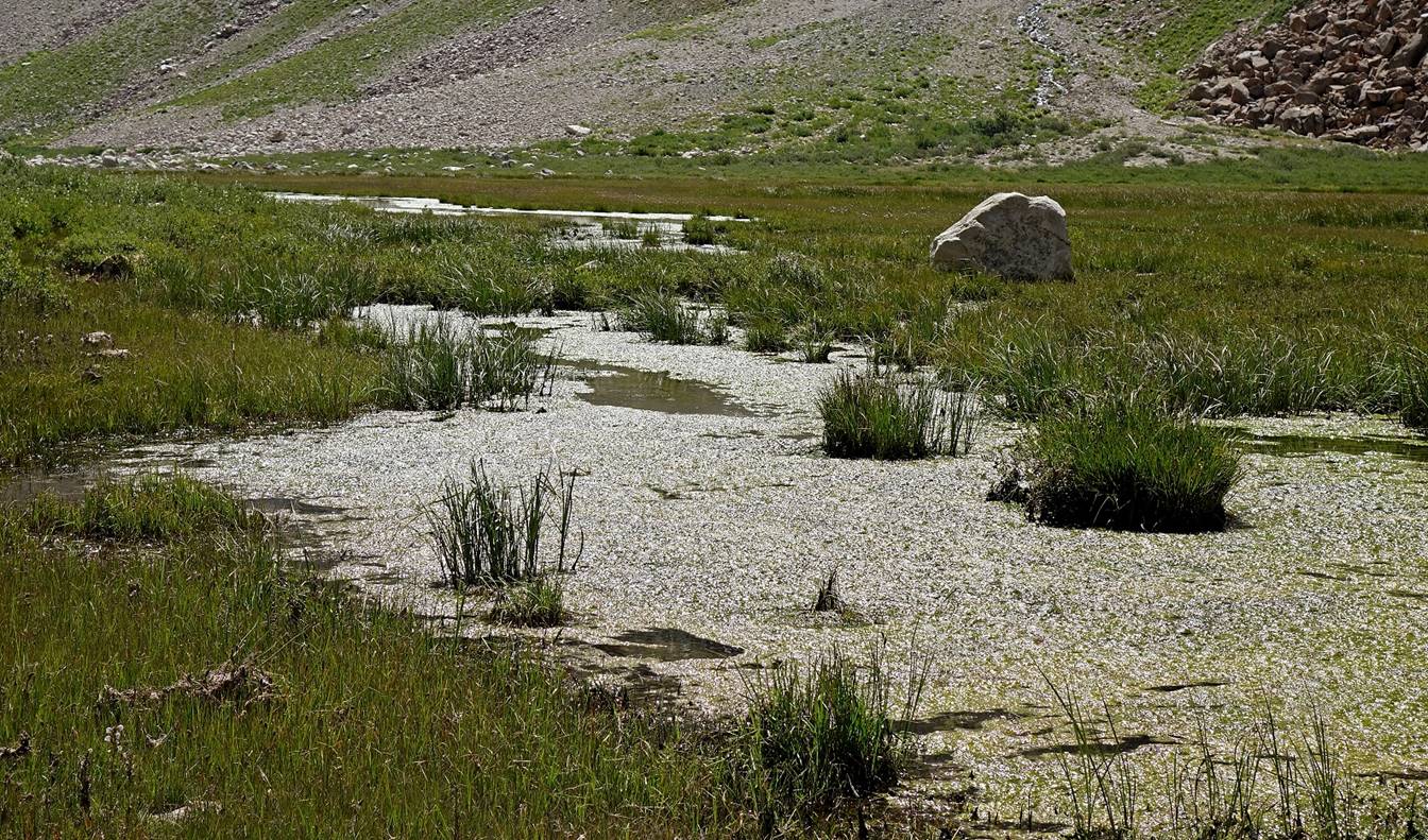
Crossing a marshy area.
|
|
|
We passed by another
shepherd settlement (on the right of the picture below), but this one was empty
and seemed abandoned.
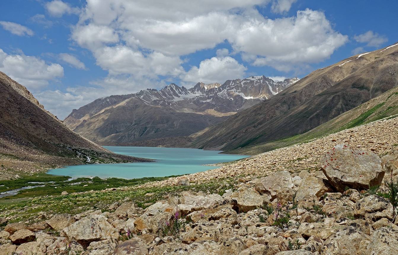
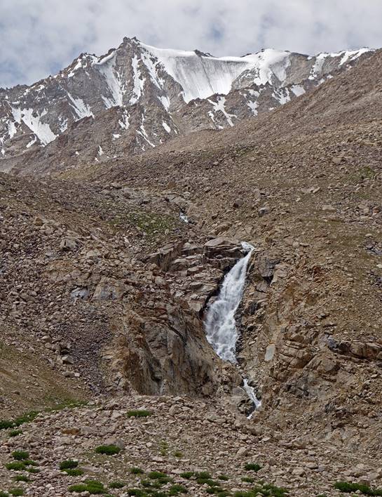
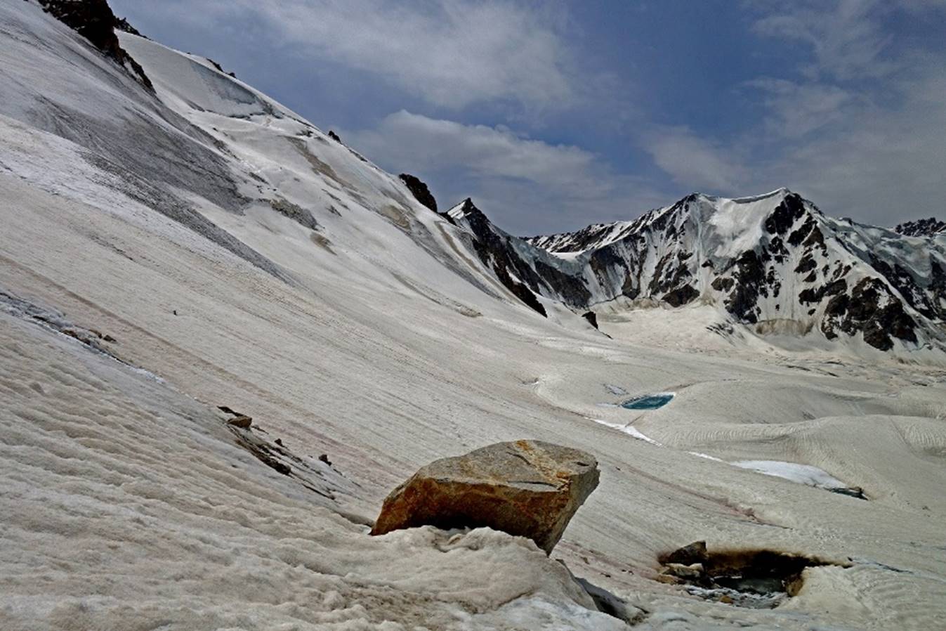
We then reached the natural dam of Rivak Kul (lake). Nozimsho
ascending the dam (first photo below) and view over the many streams below the
dam (second photo).

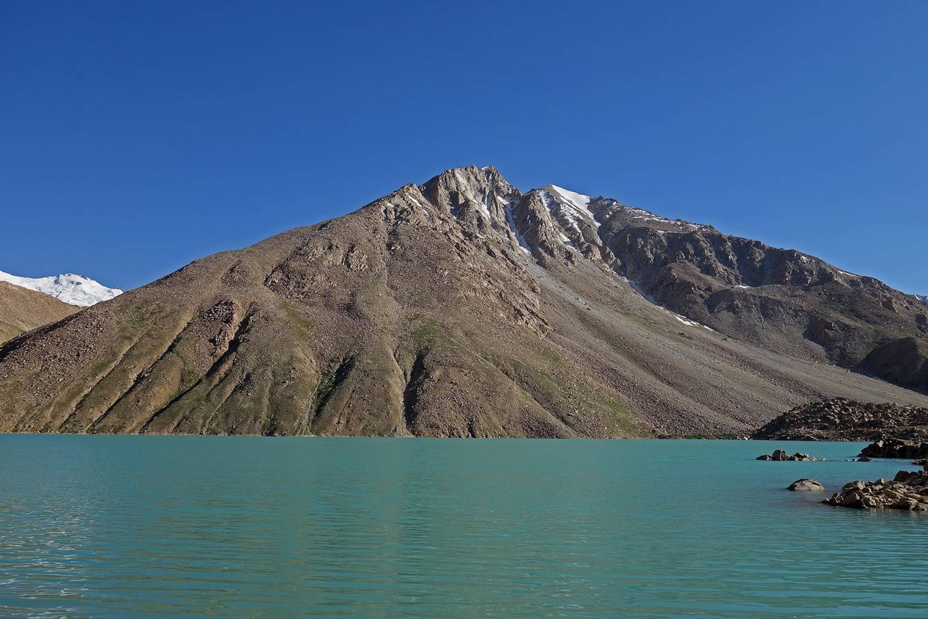
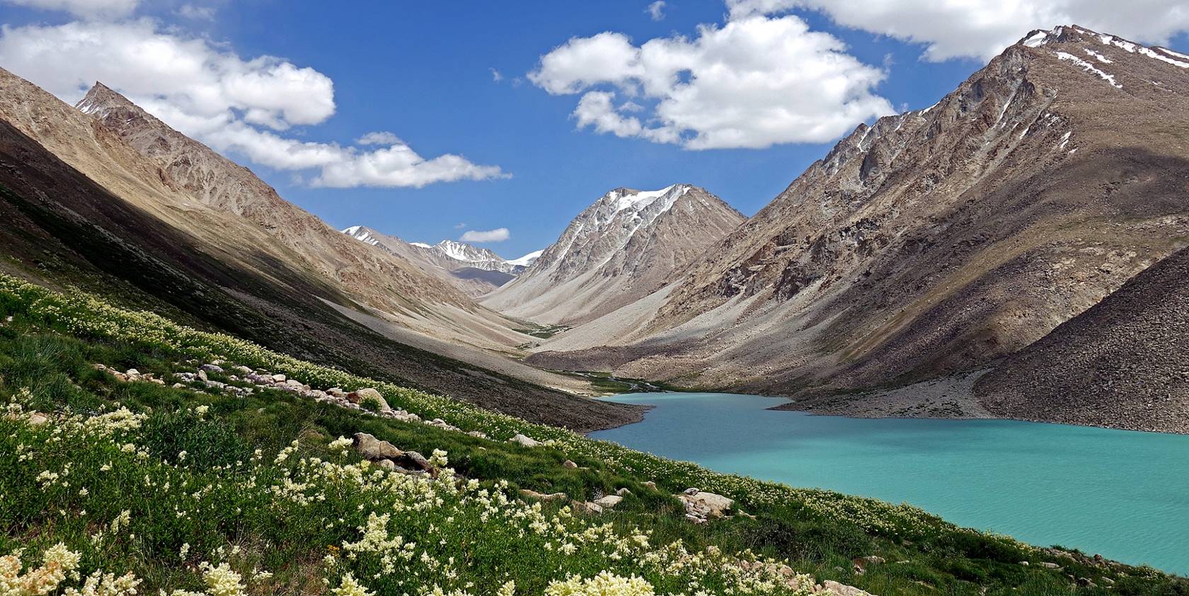
Beautiful Rivak Kul
seen from the top of the dam. To reach our third camp in the green area at the
other (eastern) end of the lake, we followed the left (northern) side of the
lake some 100m above water level. The terrain was often quite steep and covered
with large unstable boulders.

Views of the lake toward its western and
southern shores.

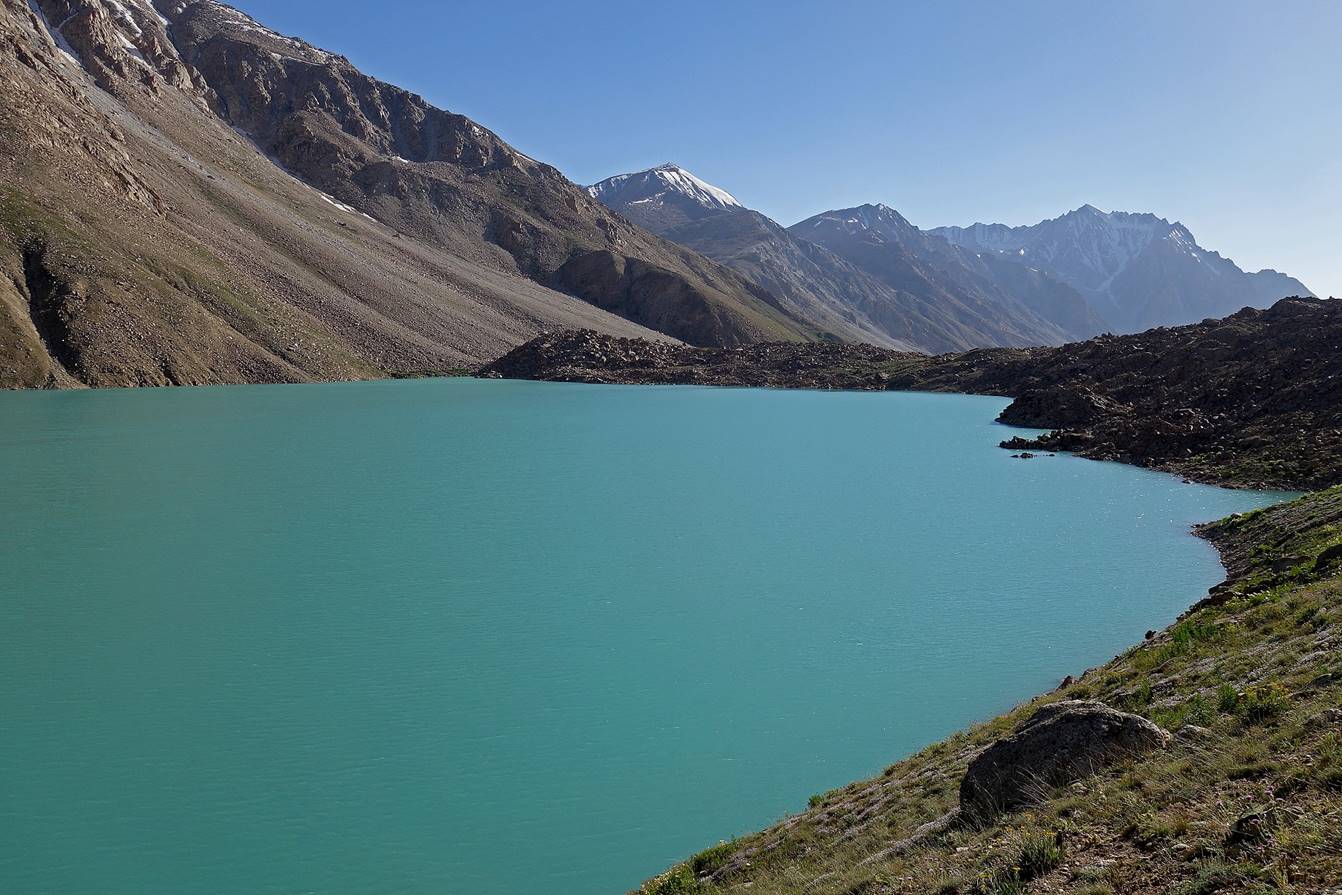
More views of the lake toward its
eastern end. The Yurievskij pass is visible in the two photos
below.
|
|
|
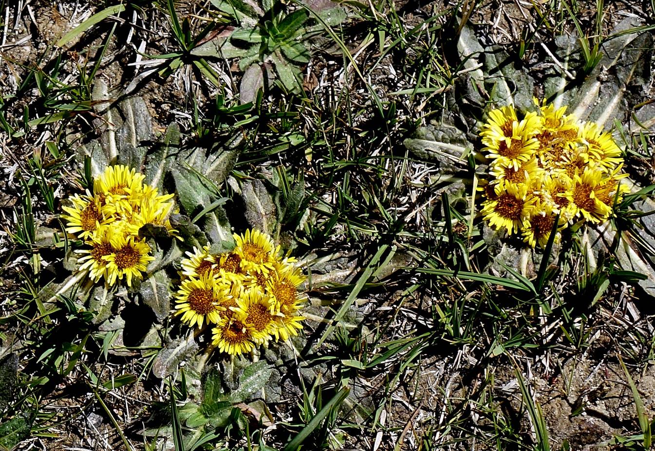
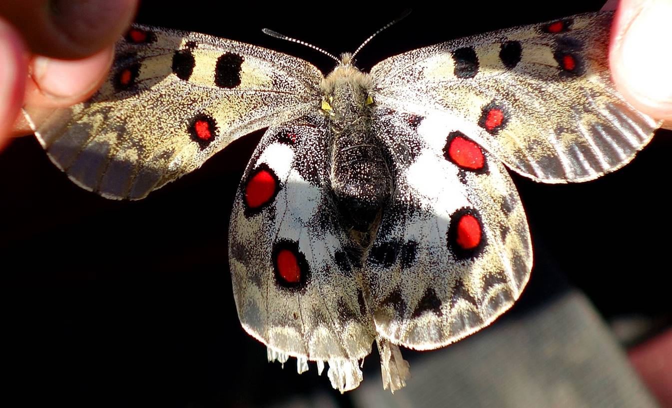
Parnassius butterfly seen along the lake.
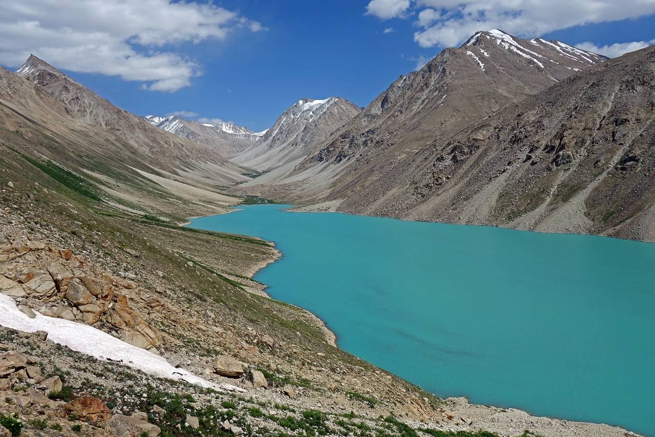
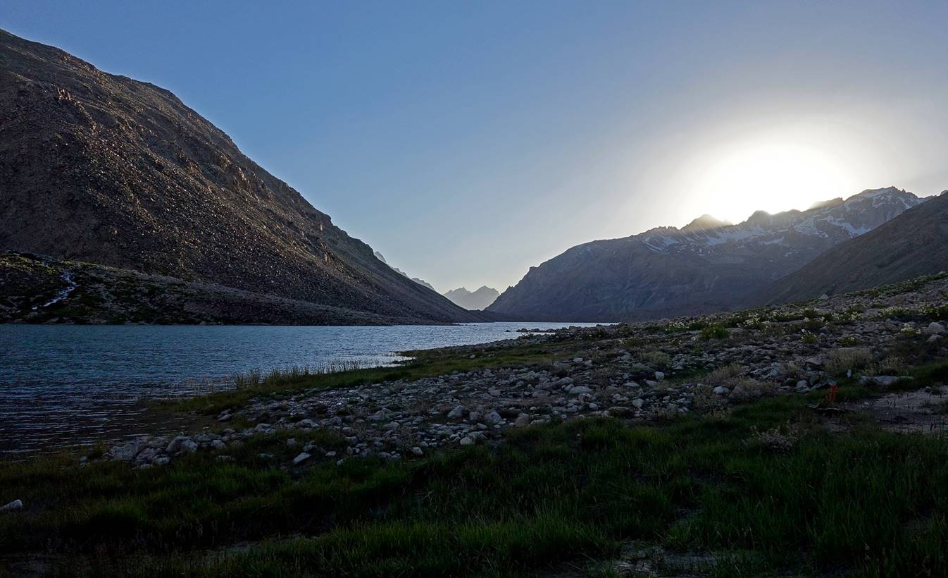
Views of the lake at sunset from our
third camp (waypoint 014).
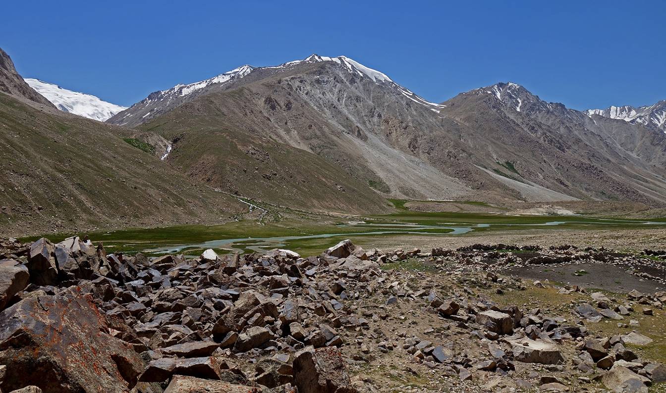
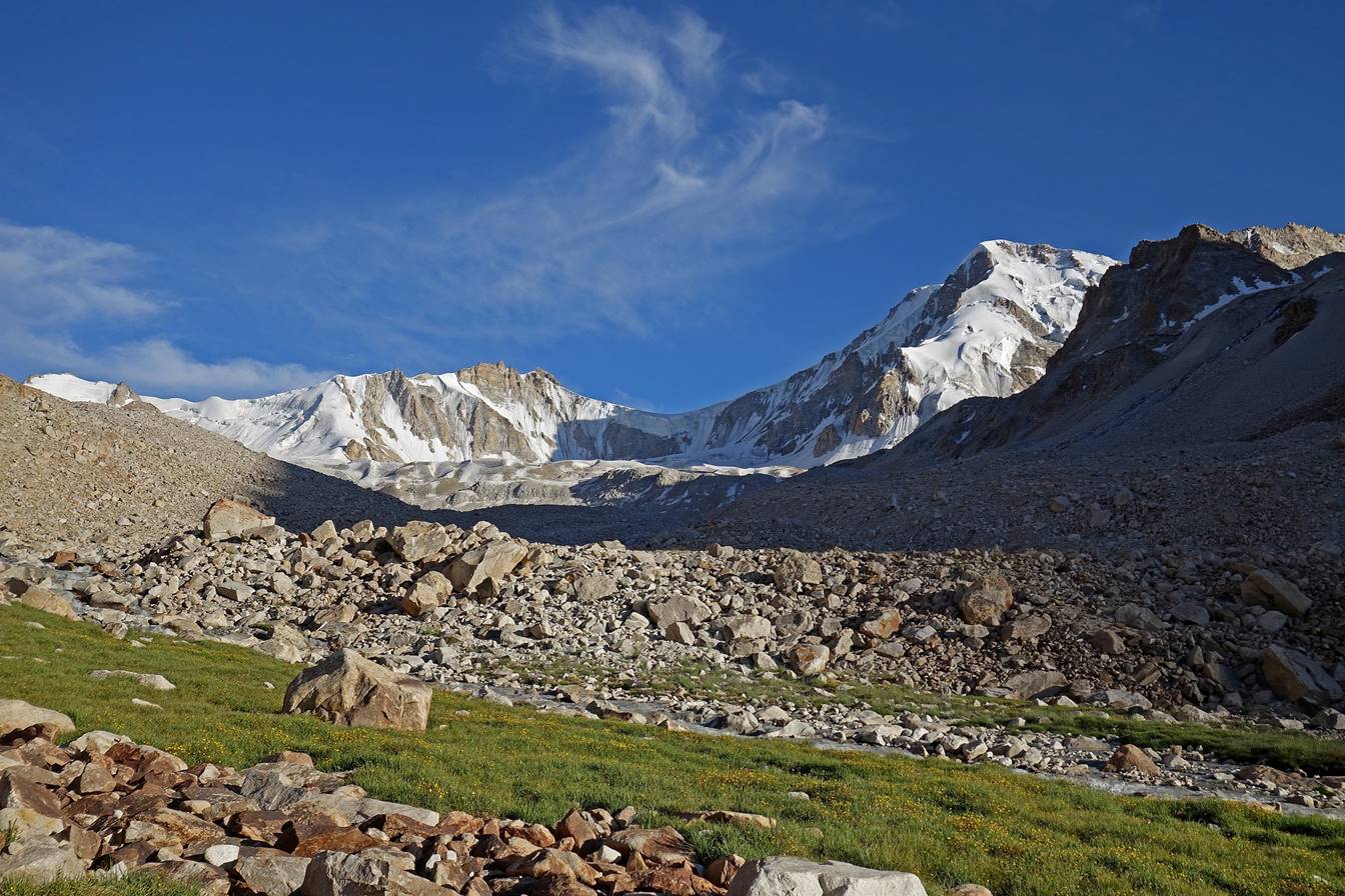
Camp 3 (3830m) to Camp 4 (4300m).
Views of the lake in
the morning from our camp.


On our way to camp 4.


|
|
|
|
|
|
Looking back toward Rivak
lake (visible at the center of the photo).
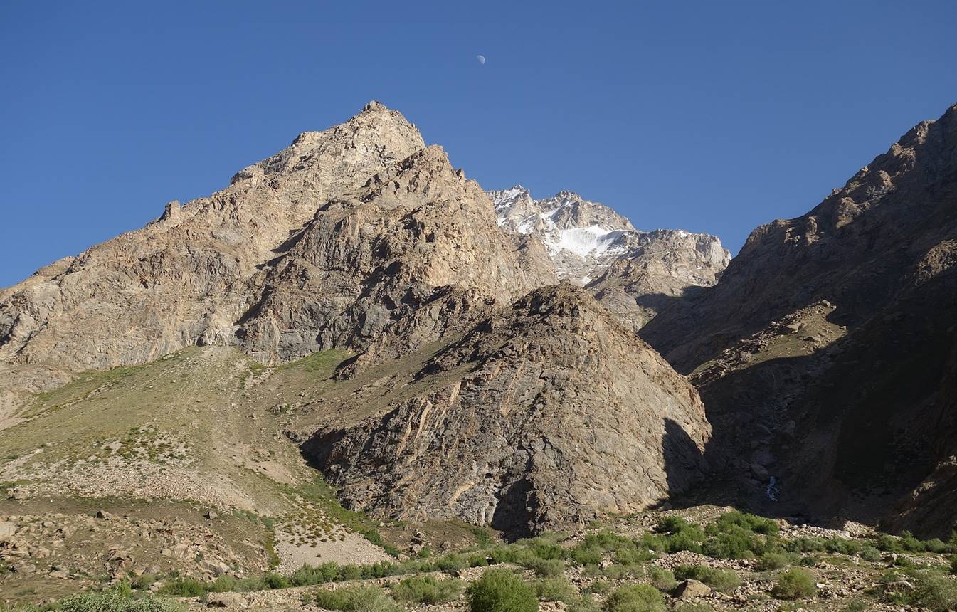
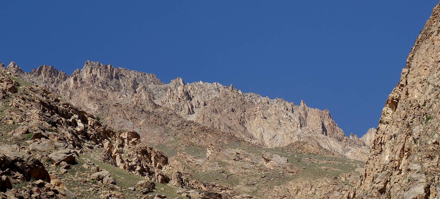
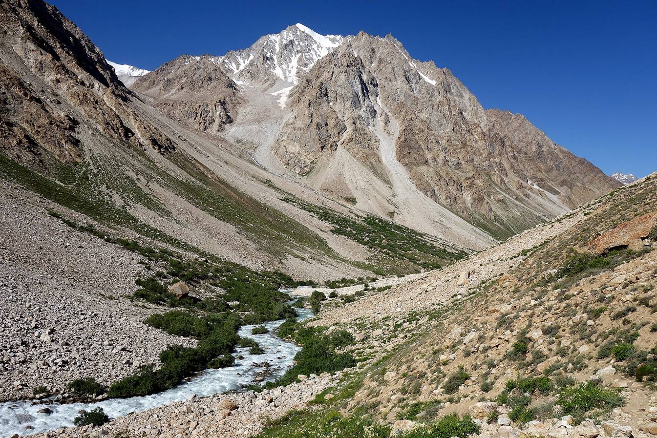
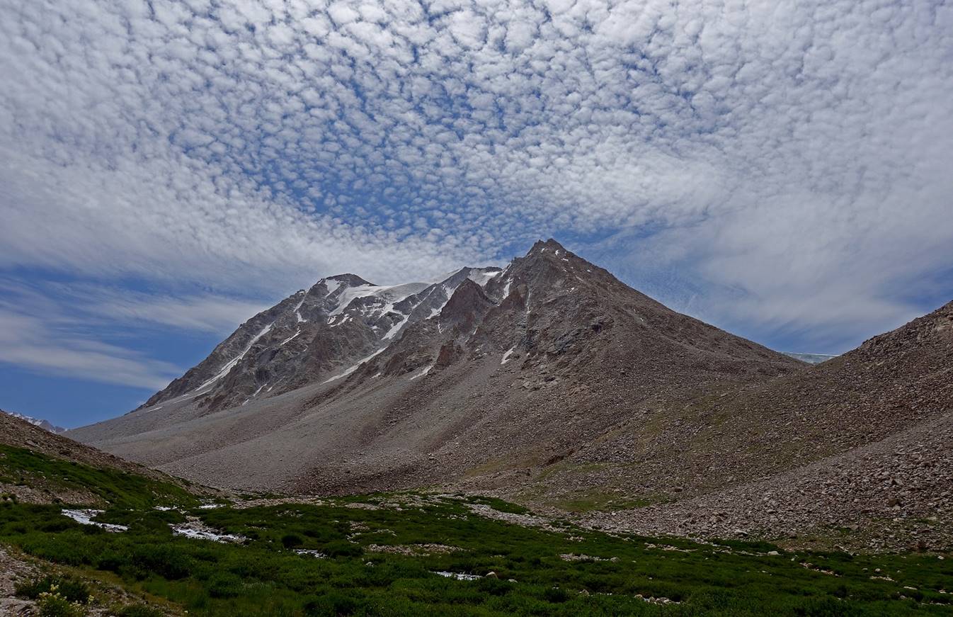
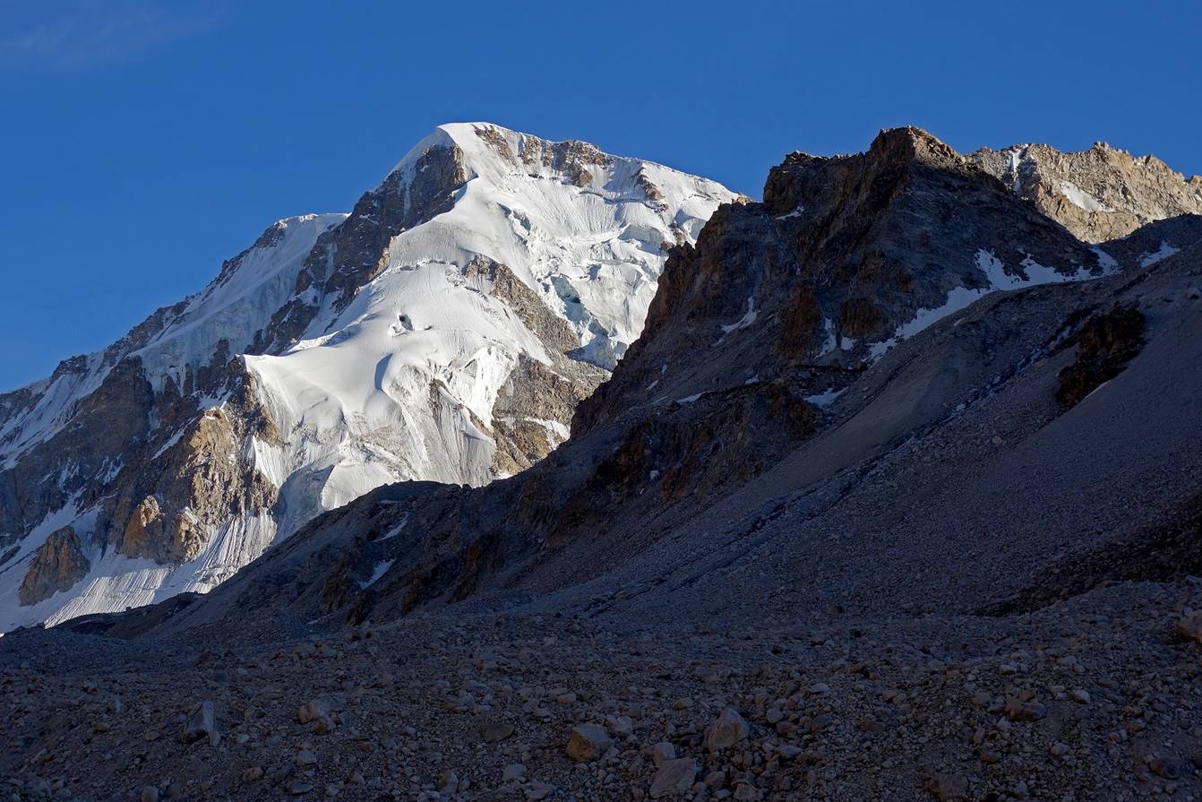
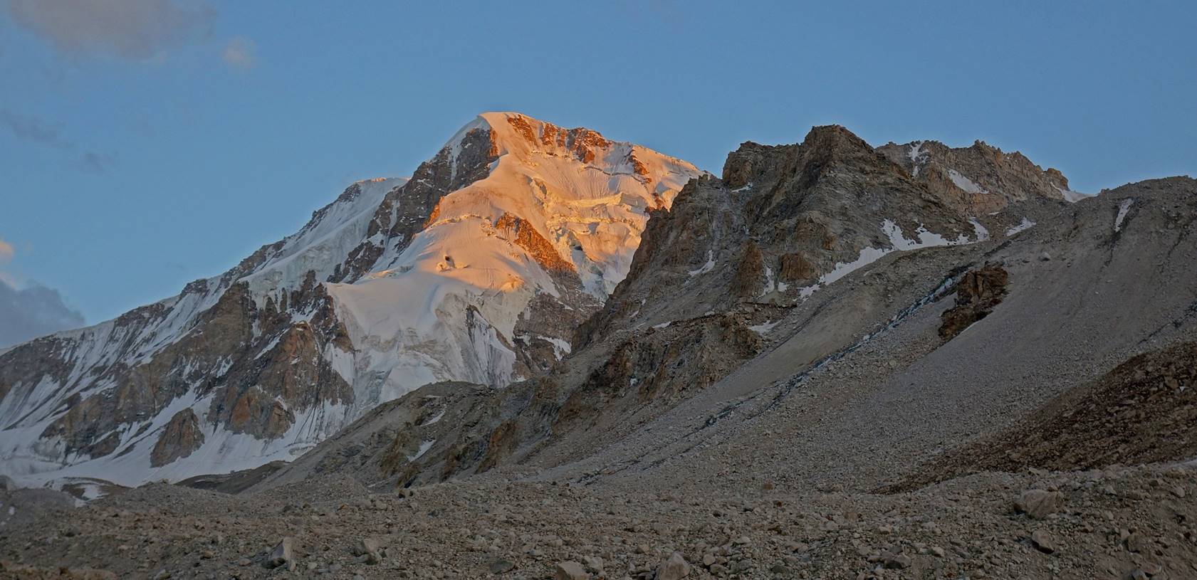
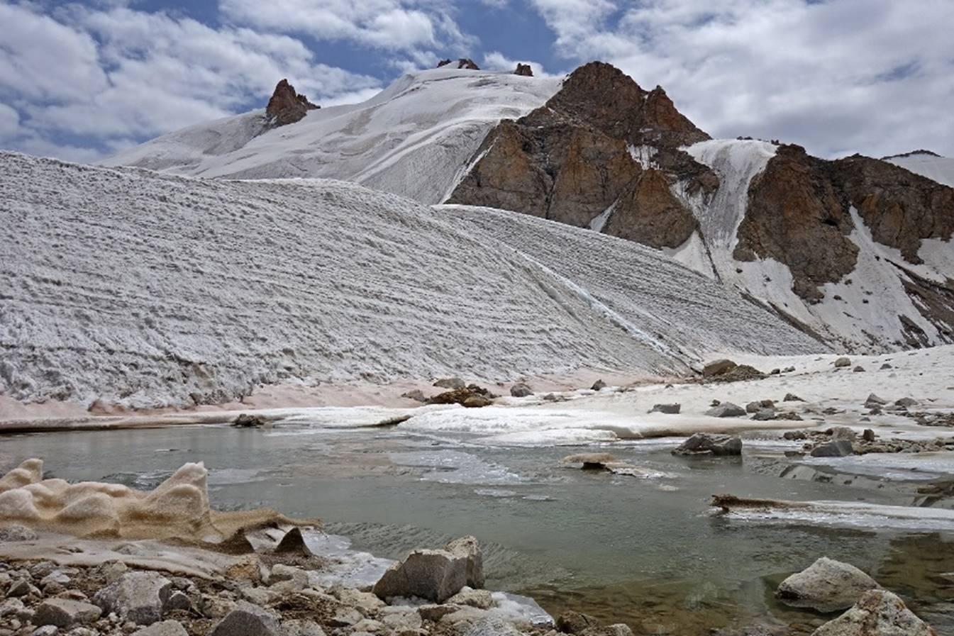
Views forward, with the
summit ridge of the Shugnan range in the background. The Yurievskij pass (located on the
left of the photos) is not visible.

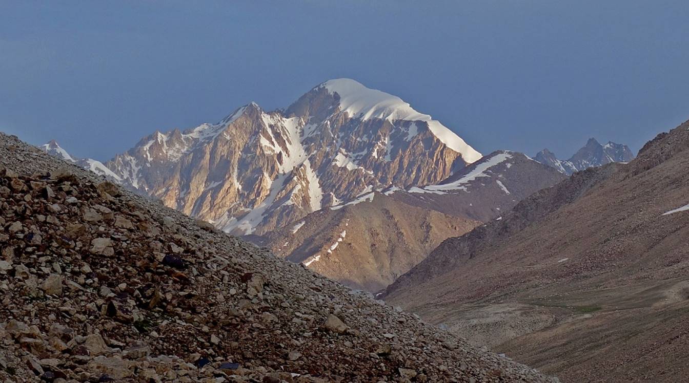
View toward the west
from our Camp 4 (waypoint 018).
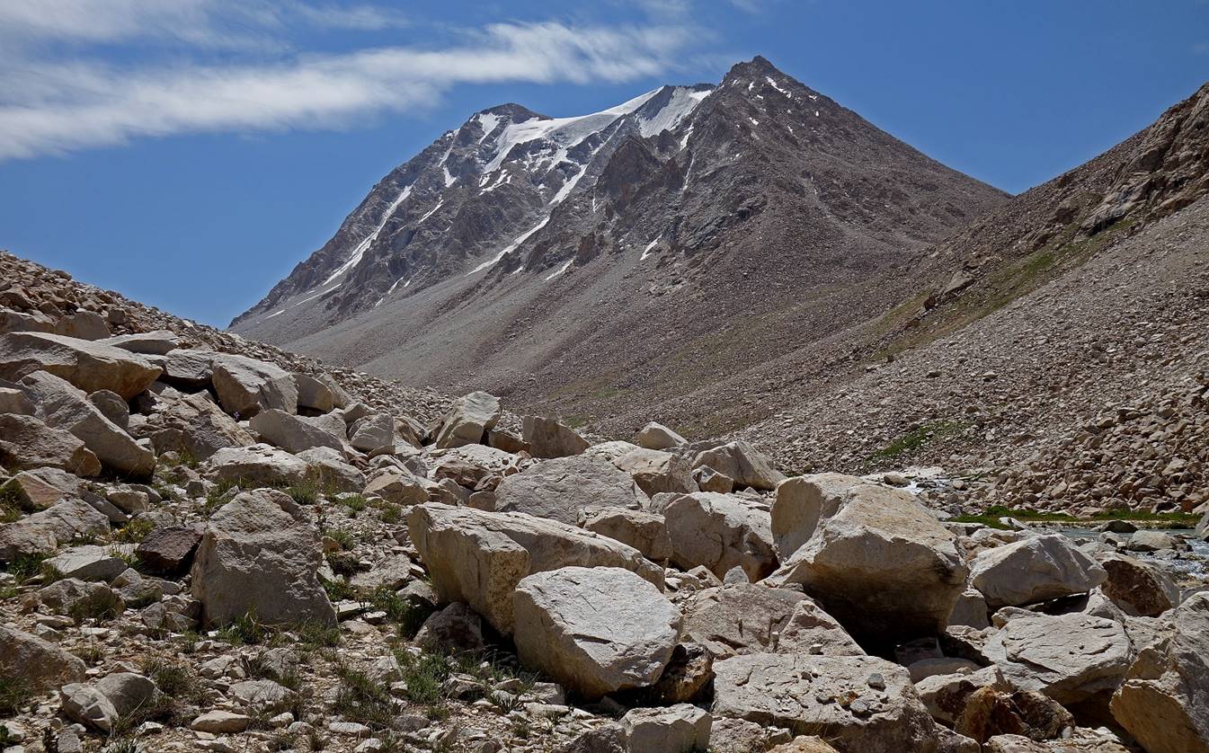
Views from Camp 4 of what I believe is
the peak marked 4771.5m in the topographic map.
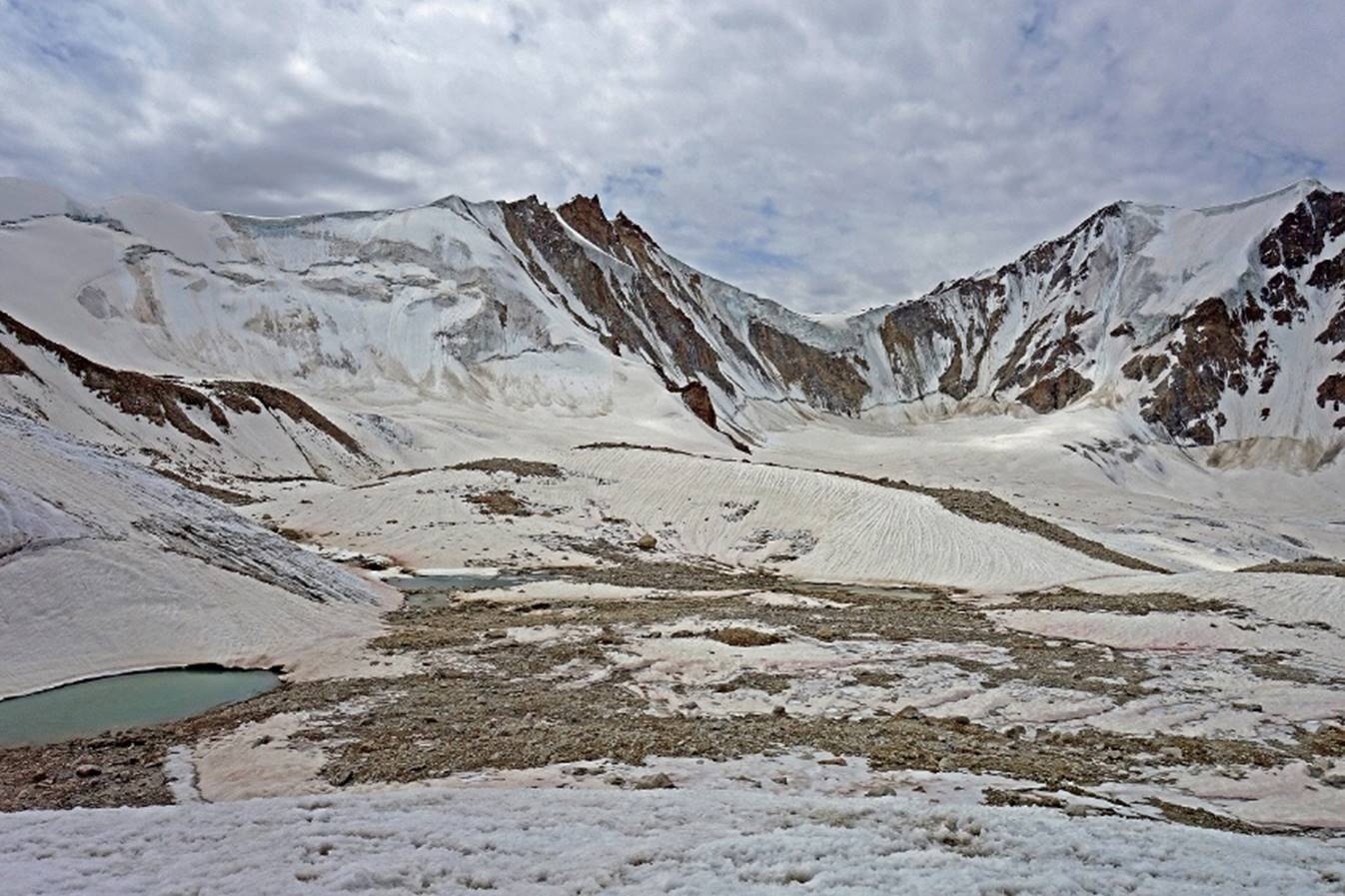
Camp 4 (4300m) to Yurievskij pass (5000m).
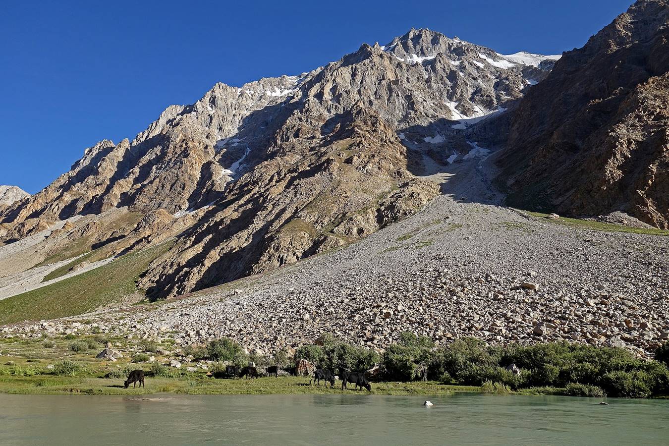
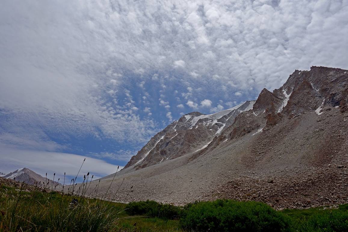
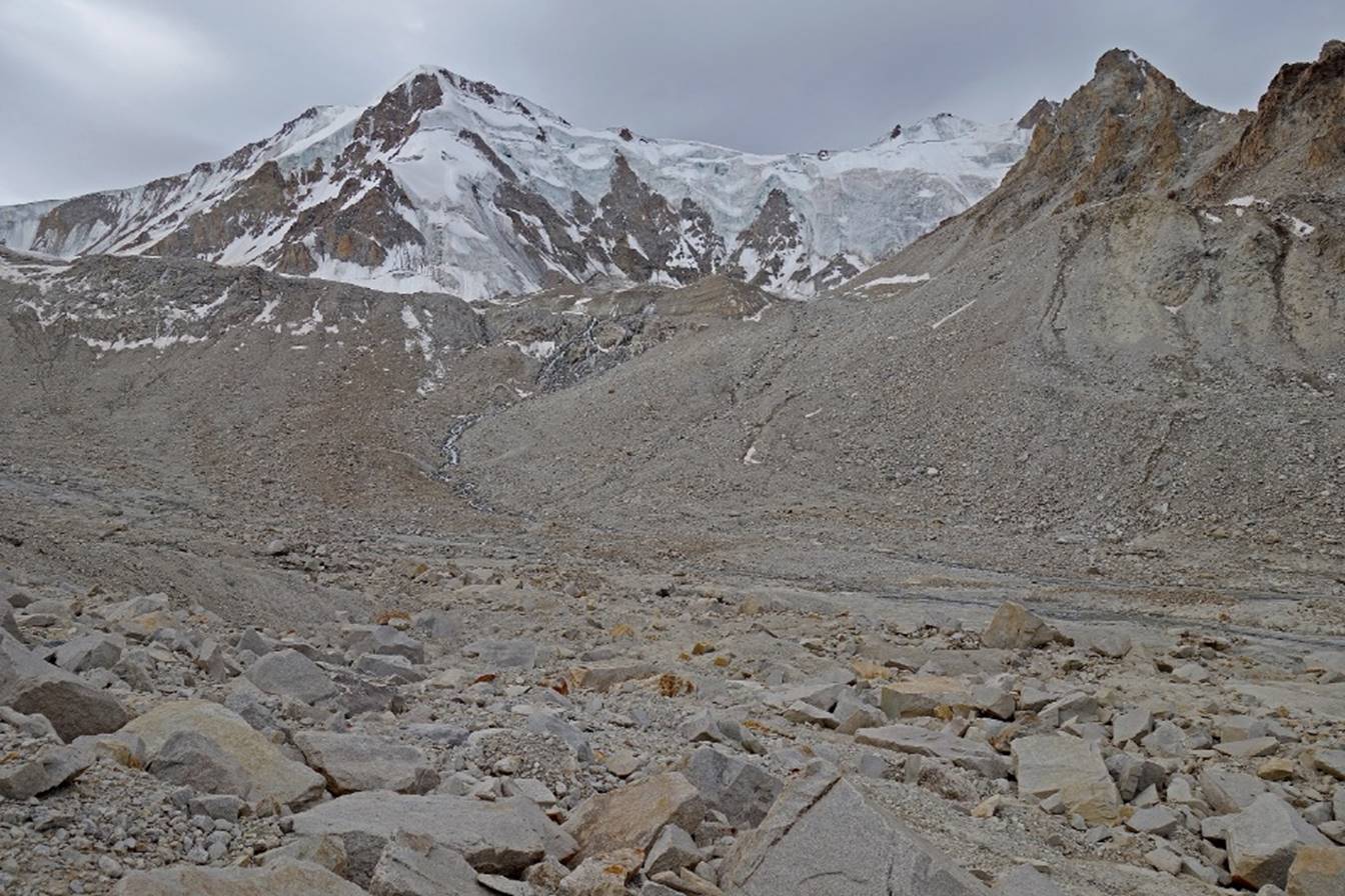
After leaving Camp 4 we
traversed a large field of big, often unstable, stones before reaching the
glacier leading to the pass (the source of the Rivak river).

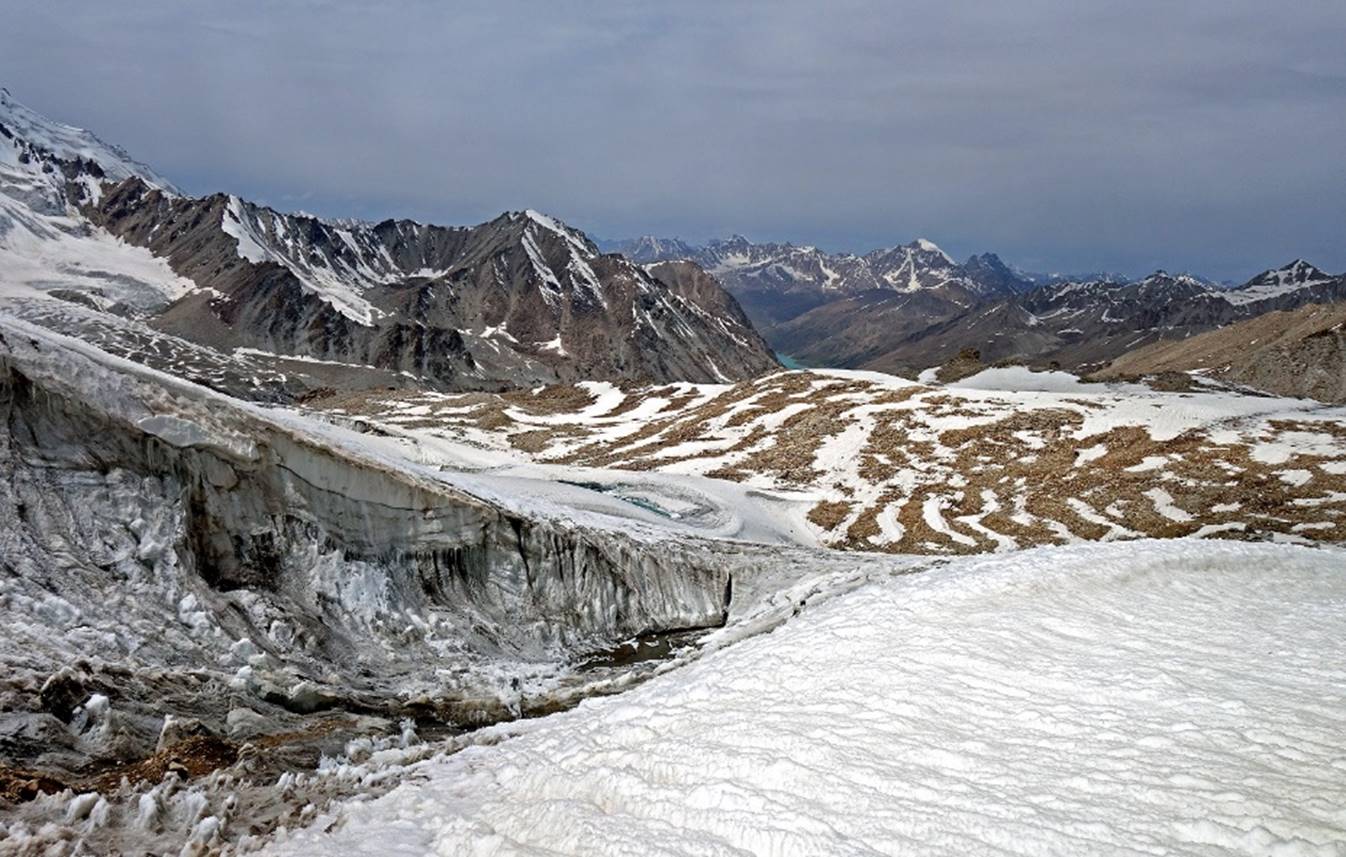
Successive views toward the west below
the glacier.


Field of stones below the glacier.
On the glacier.

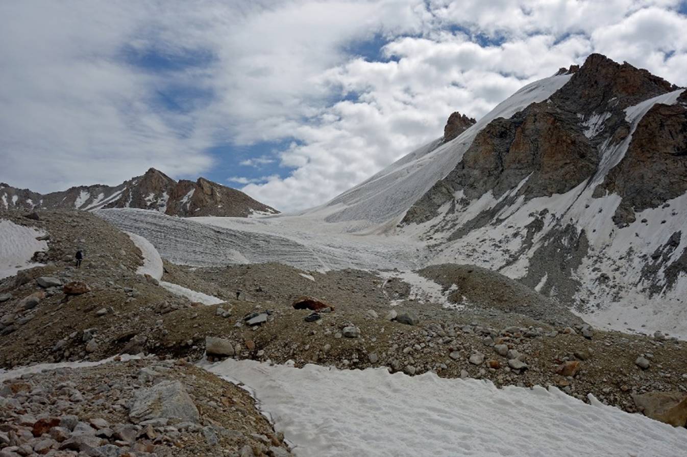
Taking a well-deserved short break.
(From left to right: Nozimsho, Almaz,
Jumach, and Muboriz.)

Further up on the glacier.
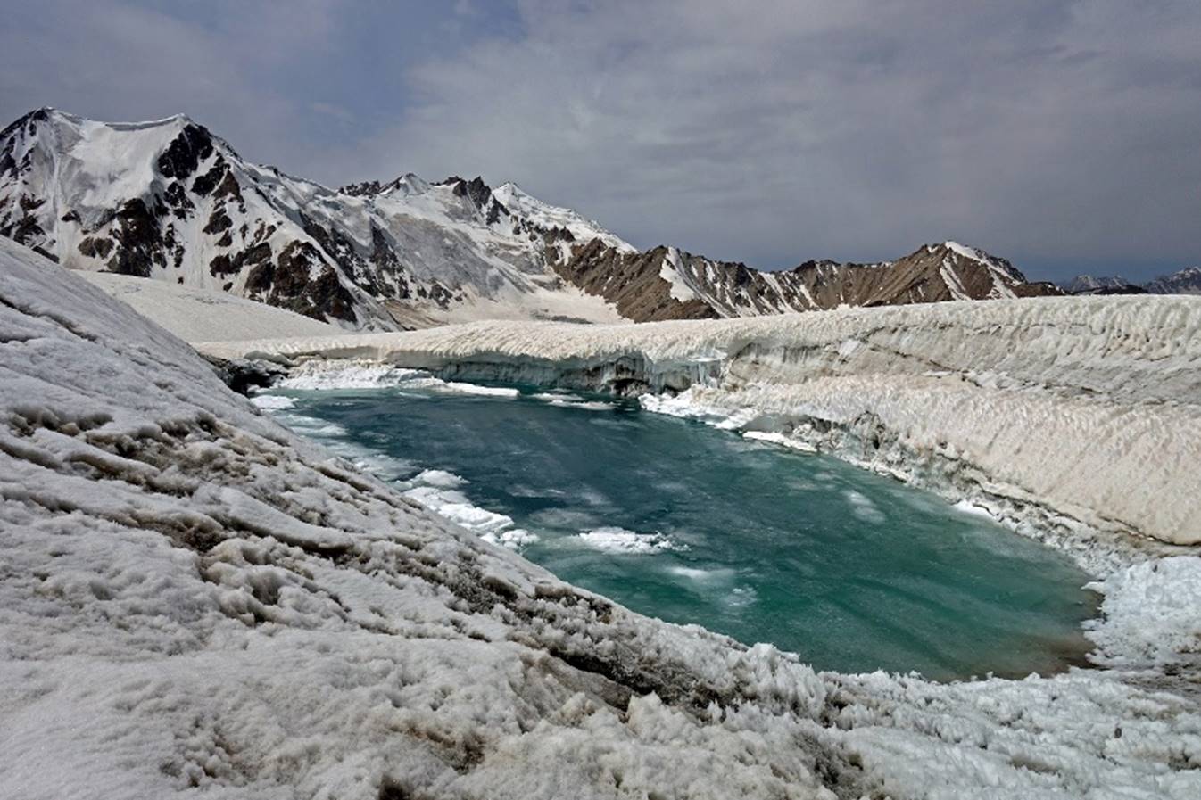
Getting closer to the
pass (here, approximately at WP 027), with Jumash and Almaz ahead.
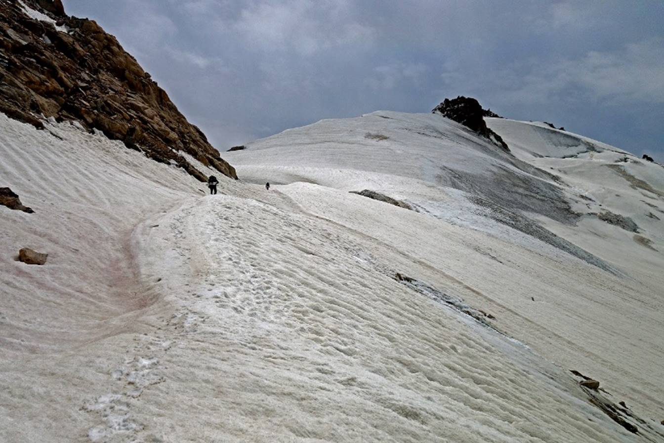
Photos showing most of the ascent path
on the glacier.

View toward Rivak
Kul (visible near the center of the photo) just before reaching the pass.
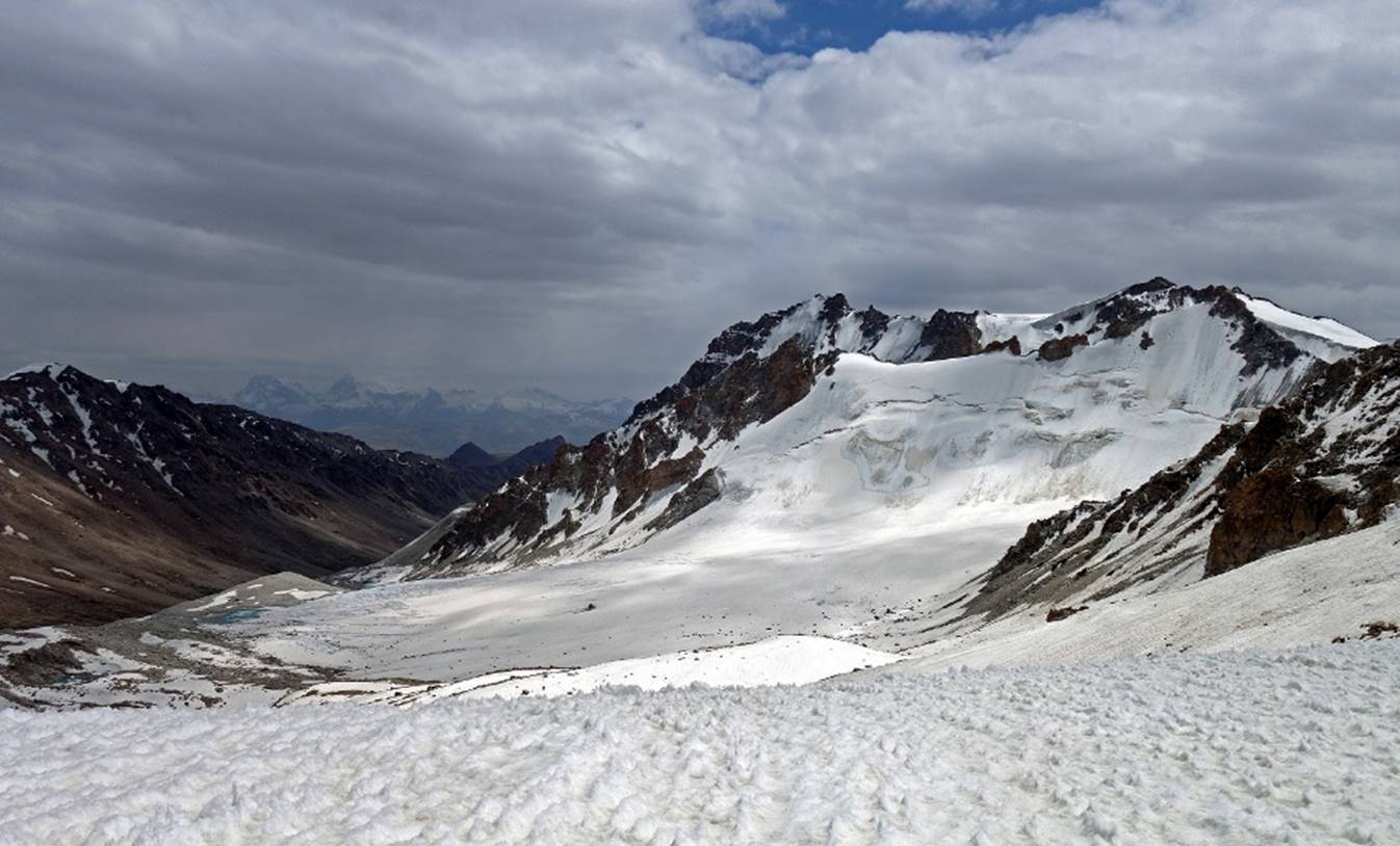
At Yurievskij
pass. View over the valley leading to the village of Numoz
in the Shakhdara valley, with Karl Marx (6723m) and Engels (6507m)
peaks visible in the background. On another trek in 2009 (a traverse of the Shakhdara mountain range south of the Shugnan
range, via Vrang pass), I had passed close to these
two stunning peaks, the highest in south Pamir. See here.

Unfortunately, a vertical wall of snow
and ice on the other side of the pass prevented us from descending into the Numoz valley. We were too minimally equipped (with a single
30m rope) for this kind of obstacle. Perhaps a solution would have been to set
up a camp in a protected spot near the pass and look more extensively for a
feasible path down on the next morning. However, I was the only one in the team
with adequate camping gear to handle a cold night on the snow at this
elevation. My four companions had cheap weak tents, light sleeping bags, and no
insulating sleeping mats. Around 2:30pm we painfully decided to turn back and
return to our Camp 4 and from there to the trailhead near Rivak.
We had not expected so much snow at the pass. But during the previous winter
snow falls had been heavier than usual and late July is still a bit early in
the summer season to cross high passes in the Pamir.
We returned to Rivak
(two additional days) and from there to Khorog, where
we spent a single night before embarking ourselves into another trek along the Badomdara and Rostovdara valleys in the Shakhdara mountain range. See here.
![]()
Back
to main Tajikistan 2017 webpage