Pinnacles
National Park (September 2019)
![]()
Return
to main United States page | Return to my mountaineering/trekking/travel webpage
The Pinnacles National Park is
relatively small US national park that protects an area covering the eroded
remains of multiple volcanoes that erupted over 20 million years ago in what is
now southern California. Positioned on the San Andreas Fault, this volcanic
ensemble broke into two parts. The moving Pacific plate on the west took with
it two-thirds of the ensemble and displaced them almost 200 miles north of
their original location, where they now form the Pinnacles. During all this
time, erosion created a surreal, but incredibly beautiful, world of broken
crags, huge boulders, thin spires, and steep ravines. The area was established
as a national monument in 1908 and upgraded into a national park in 2015.
I visited the Pinnacles several times in
the late 1990s and early 2000s, but back then my focus was on rock climbing.
After a lapse of some 15 years I returned to the Pinnacles in late September
2019, just to hike and take photos. The following is a sequence of photos (in
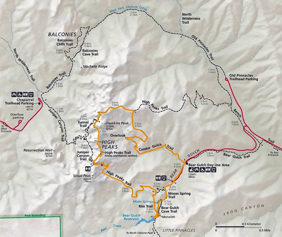
chronological order) that I took along the clockwise loop highlighted in orange
in the map below.
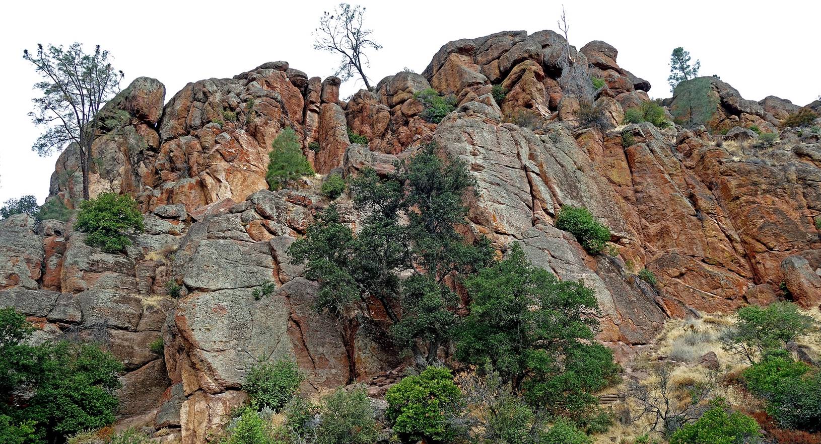
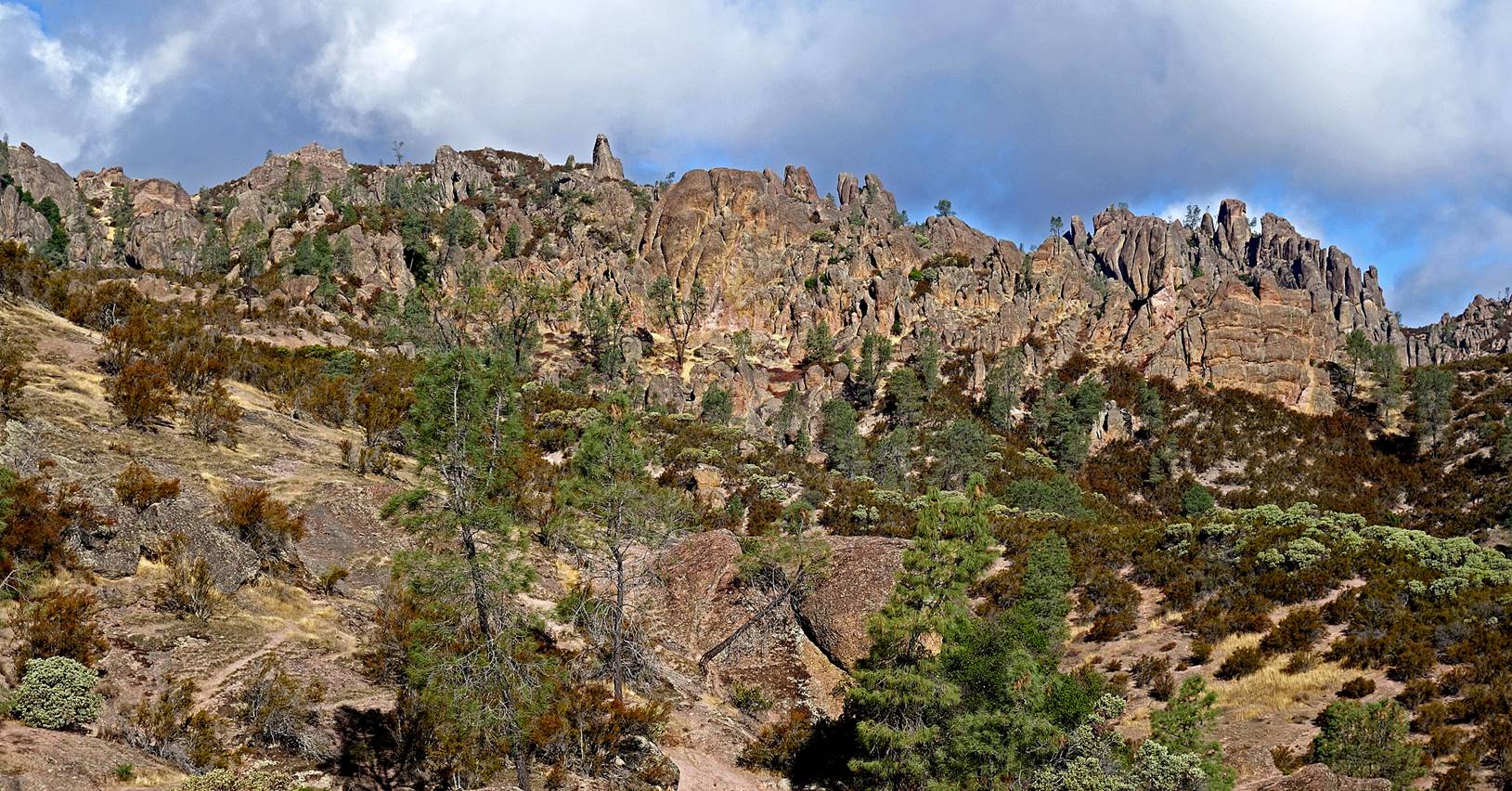
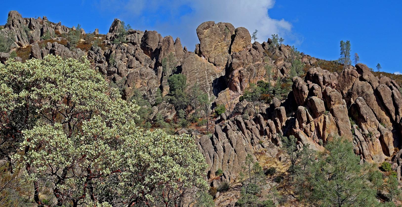
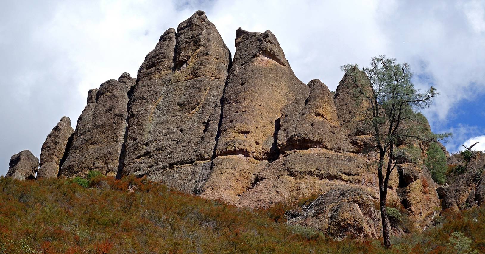
The Tourist
Trap, on the Bear Gulch trail soon after leaving the day use area.
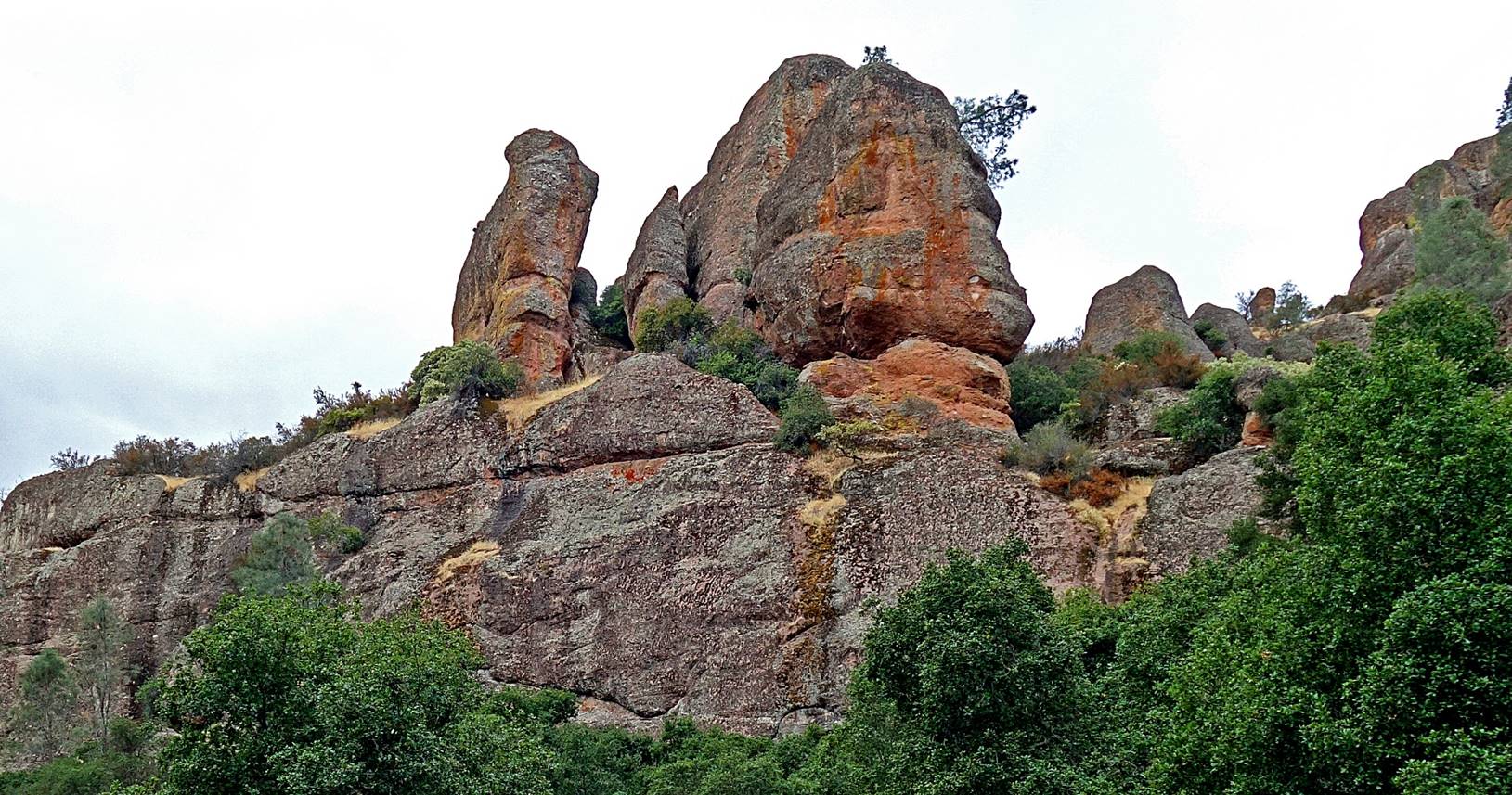
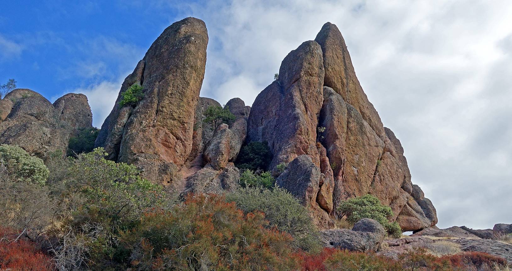
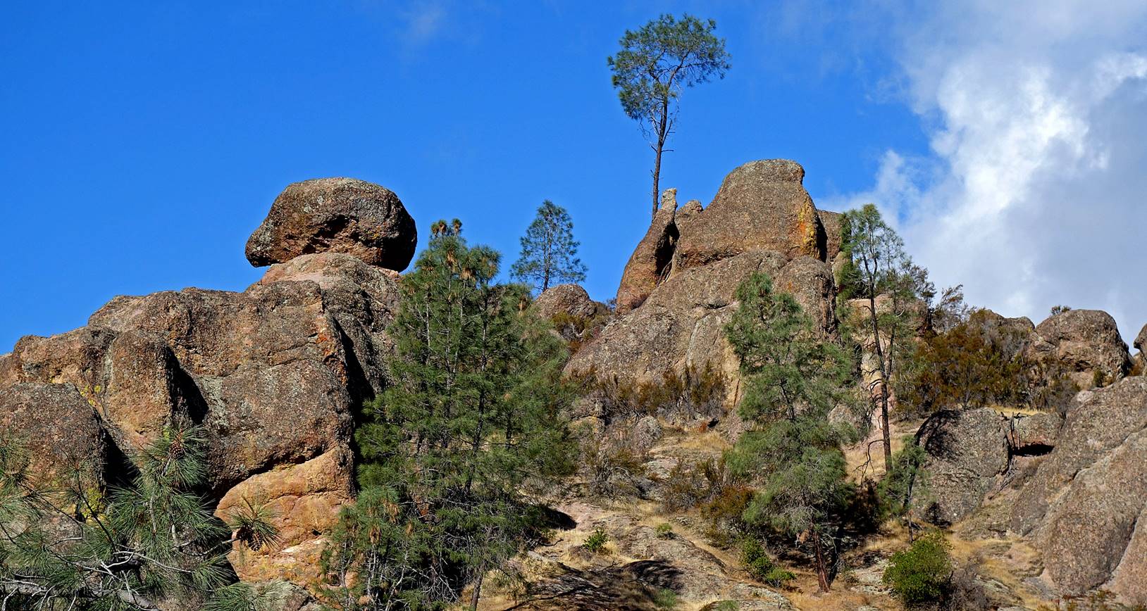
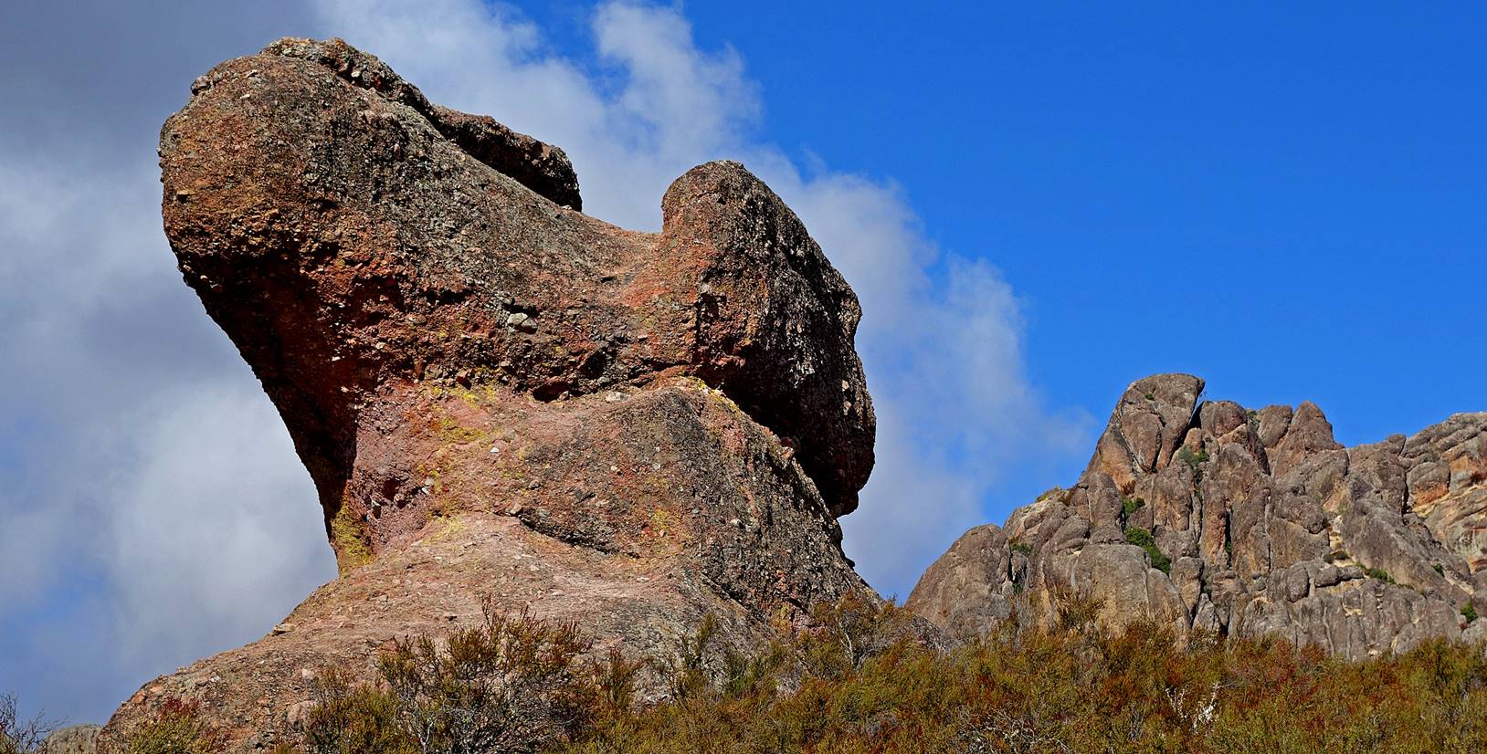
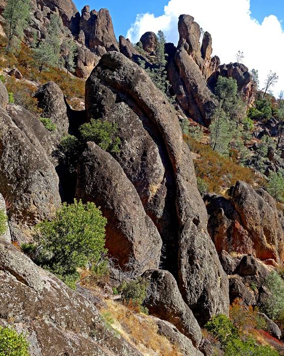
The Camel
rock.
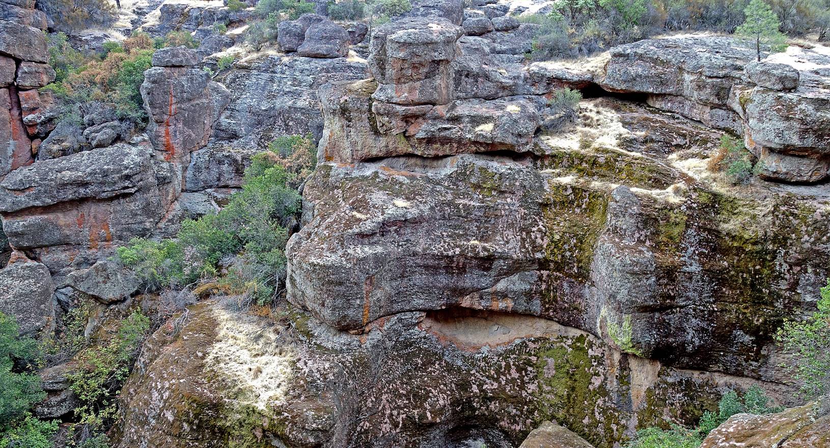
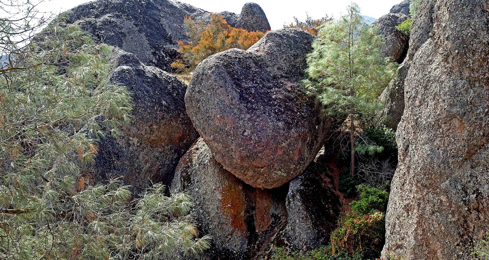
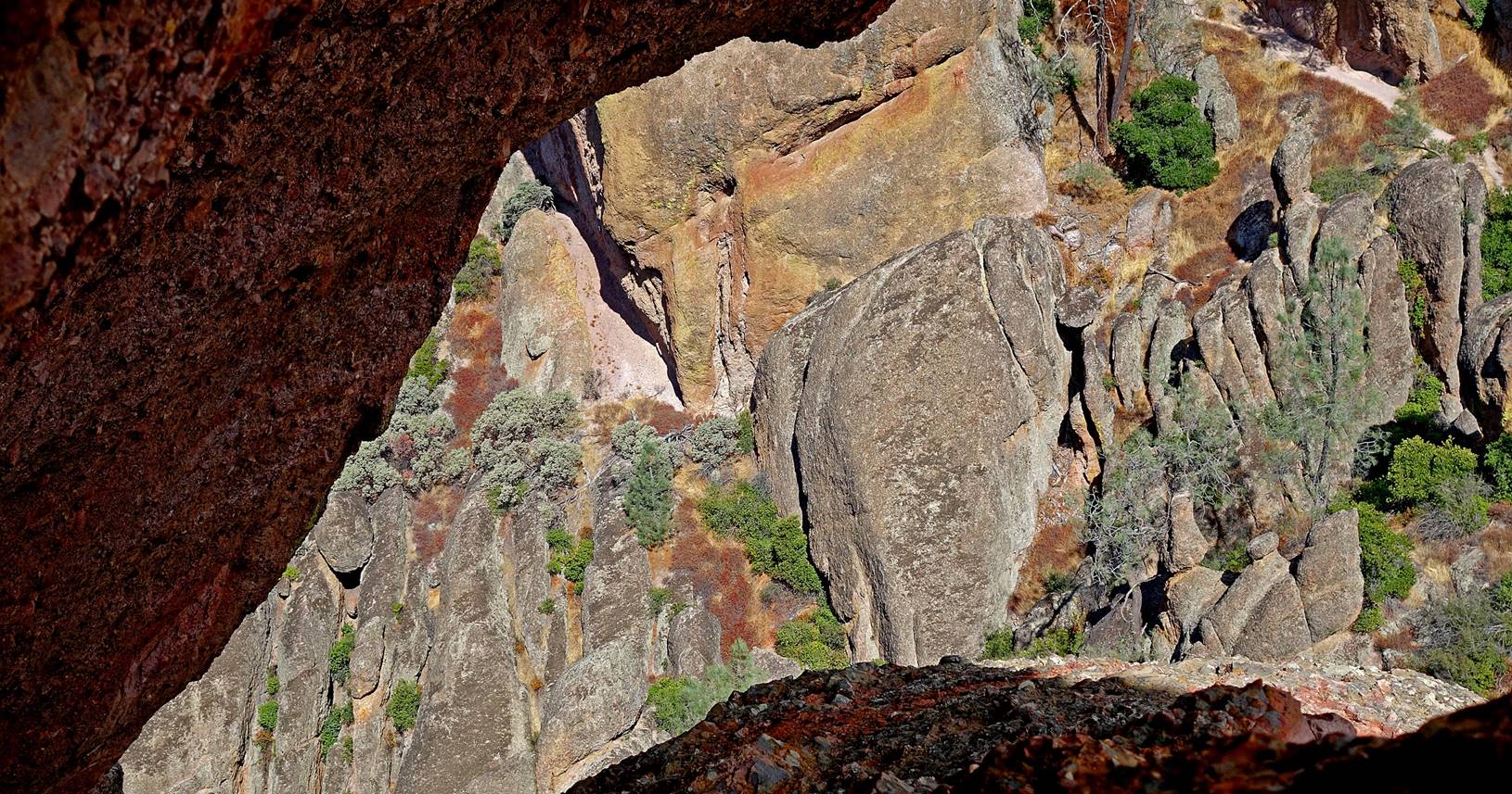
The Monolith,
at the upper-center of the photo, behind the wedged rock.
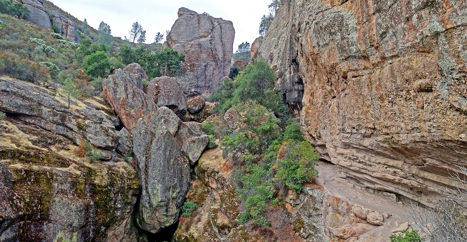
Bear Gulch.
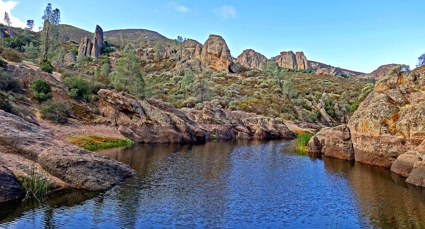
Bear Gulch
reservoir.
Bear Gulch
reservoir.
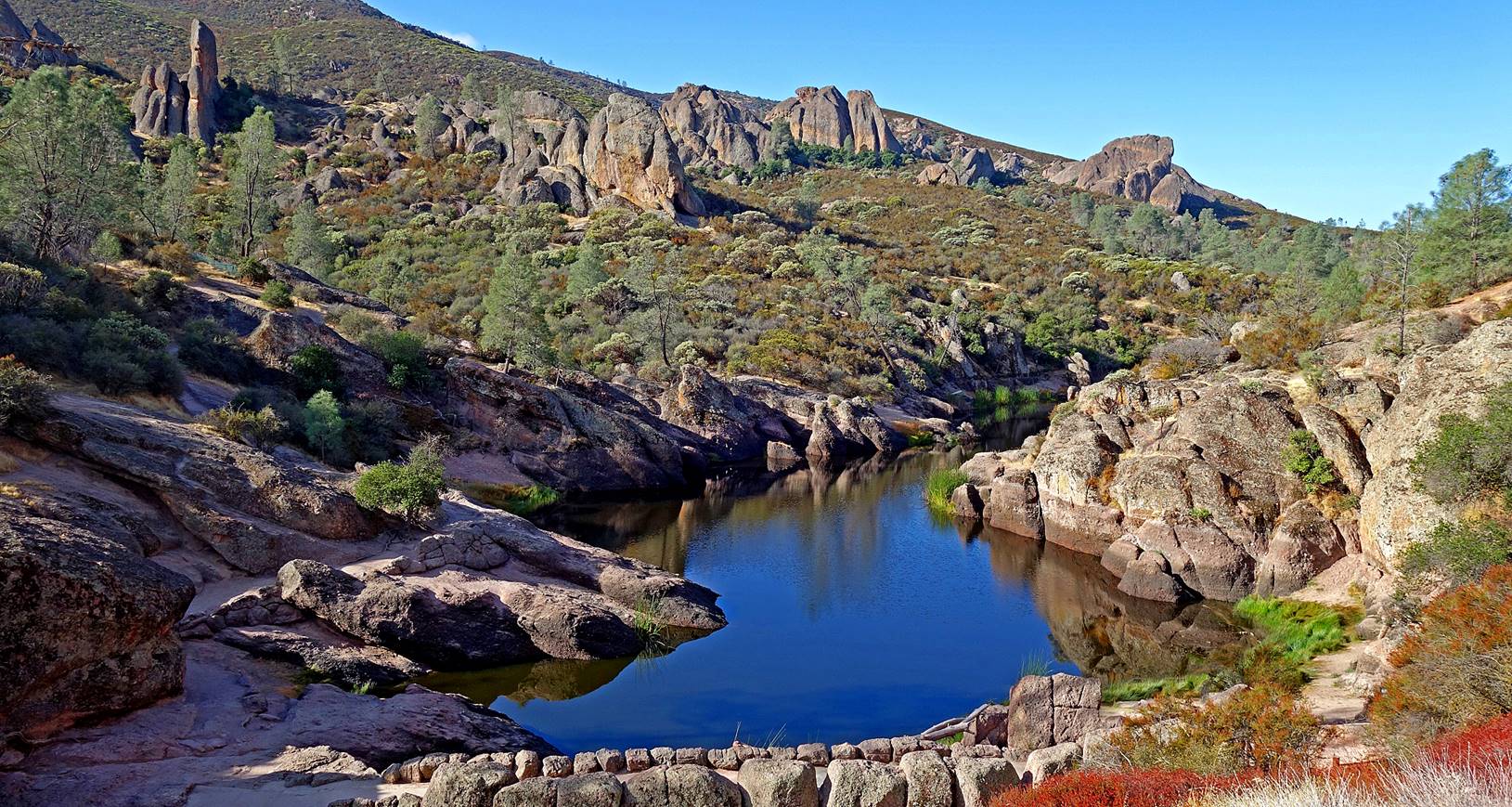
Tiburcio′s X (the spire on the right of the photo).
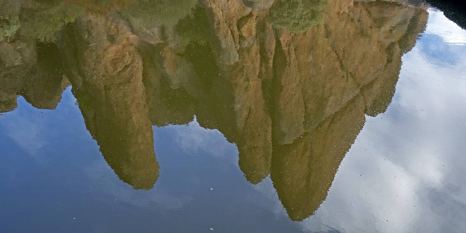
Reflection of
Tiburcio′s X in the water of the reservoir.

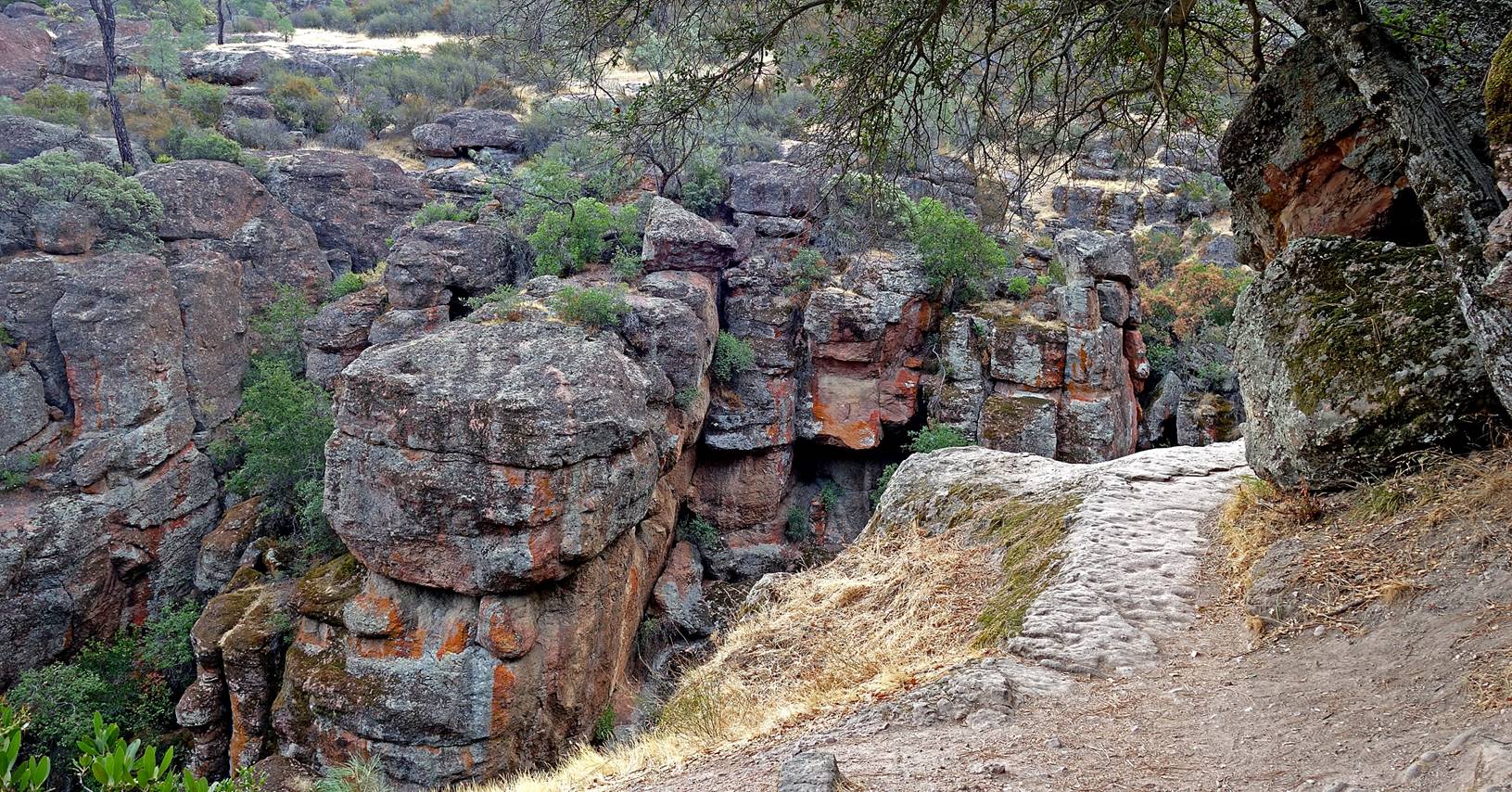
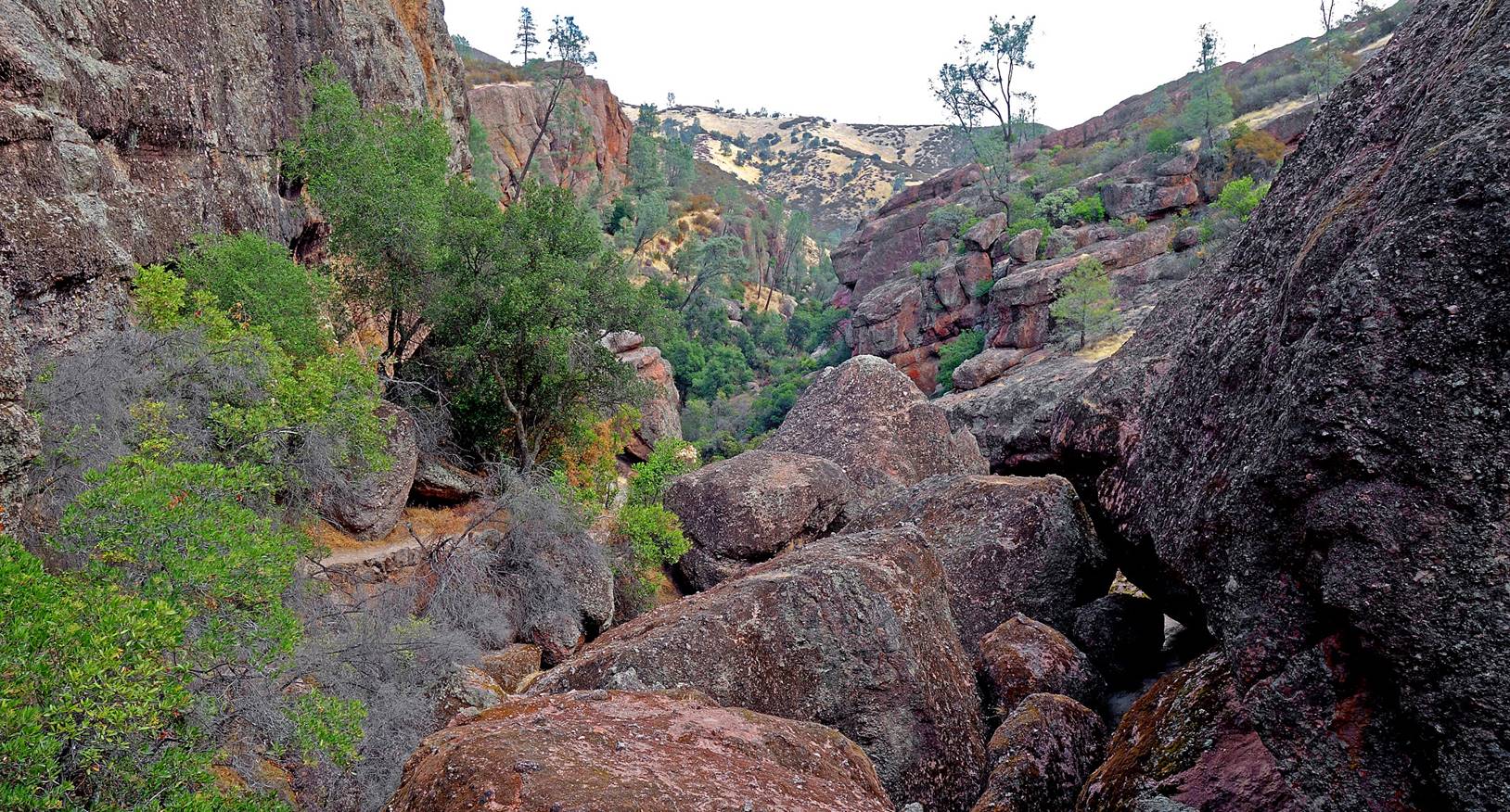
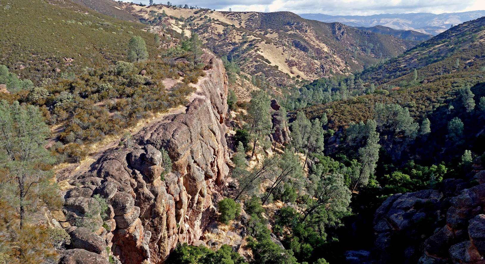
Along the Rim
trail above the Bear Gulch reservoir.
Discovery
Wall.
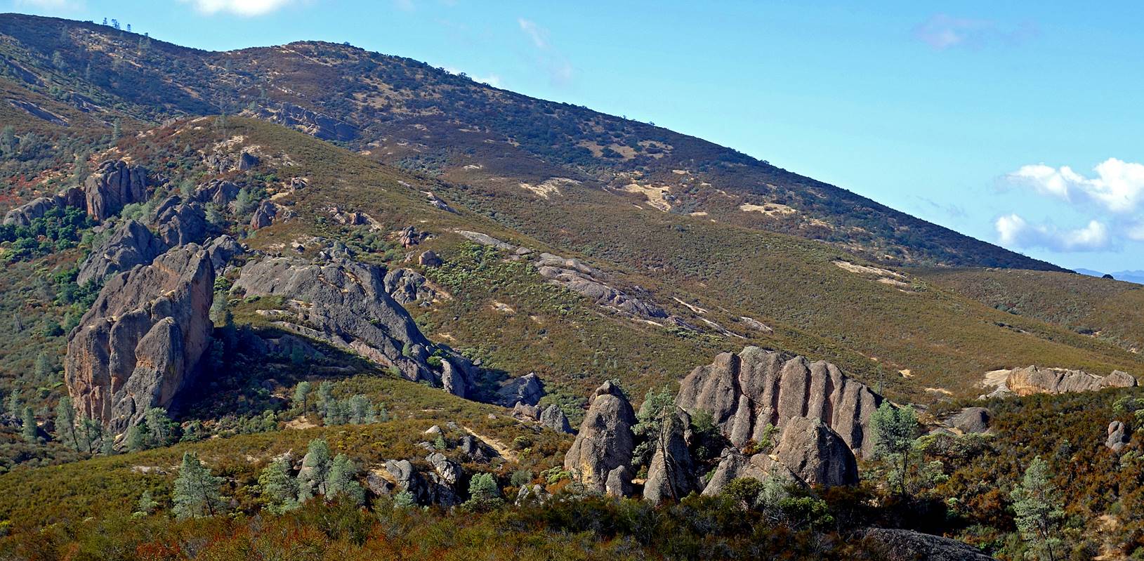
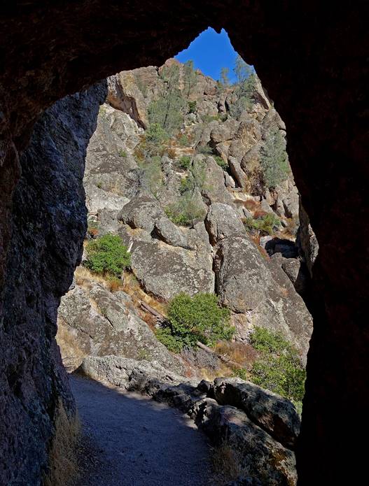
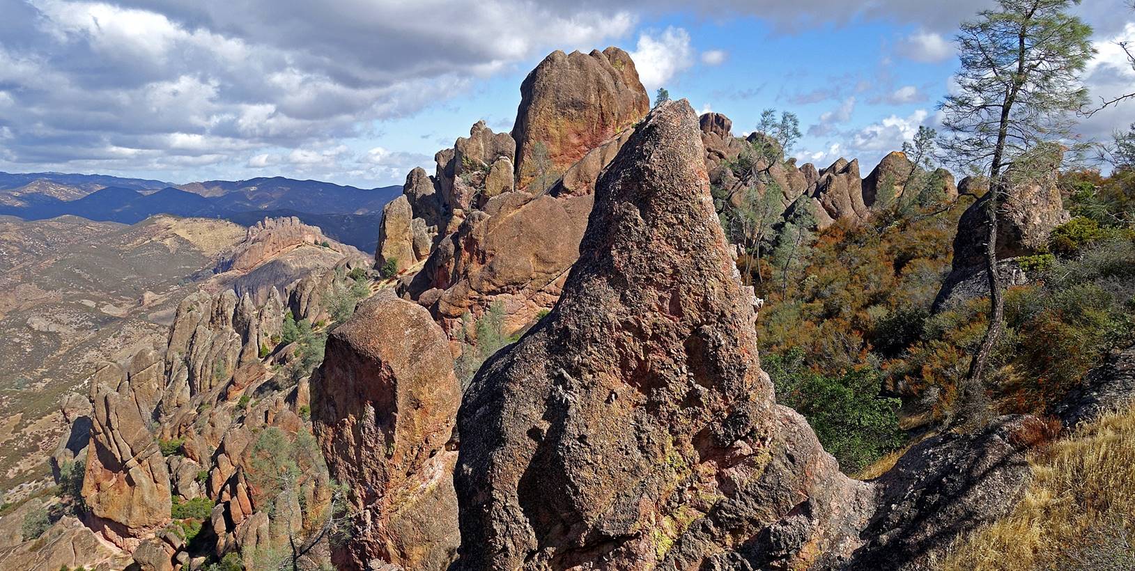
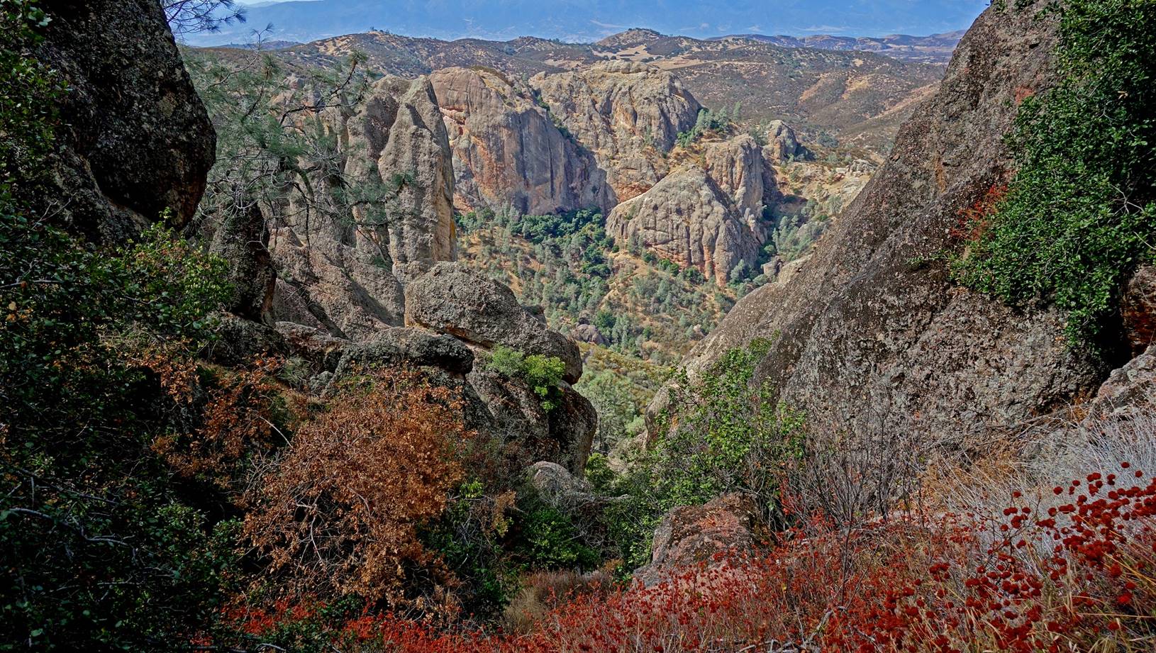
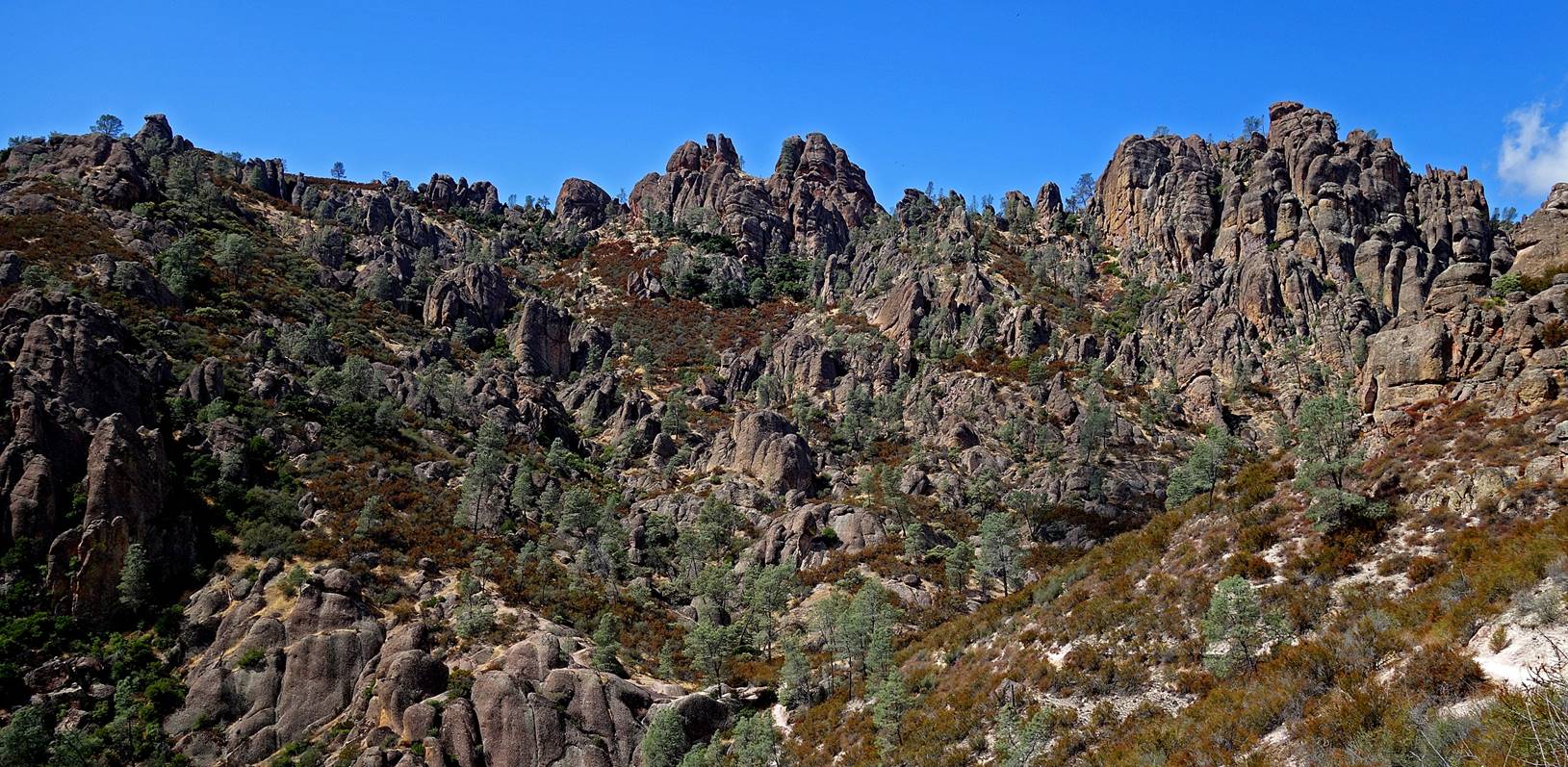
Looking up
toward the High Peaks.
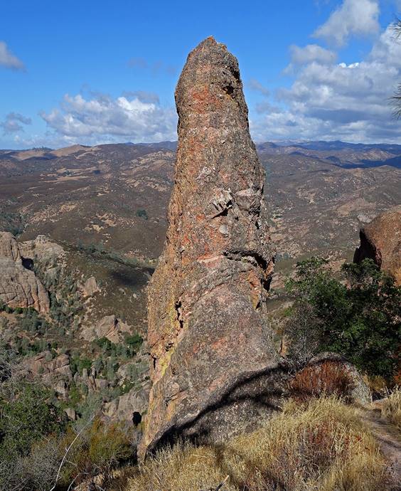
The Pipsqueak
ridge.
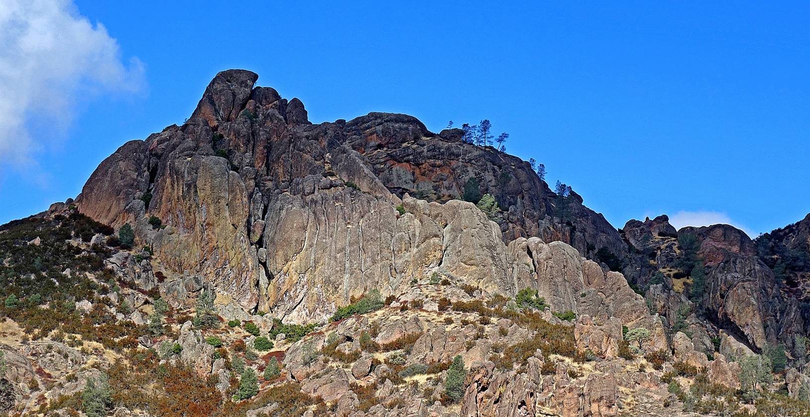
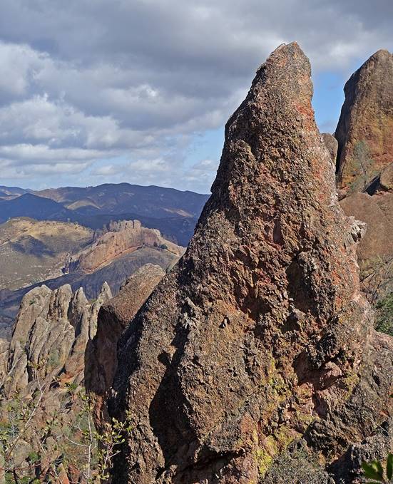
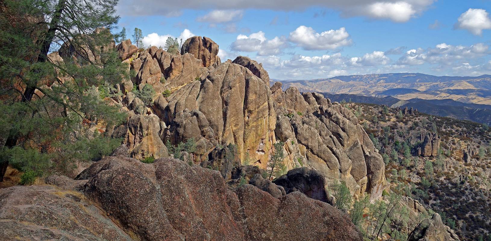
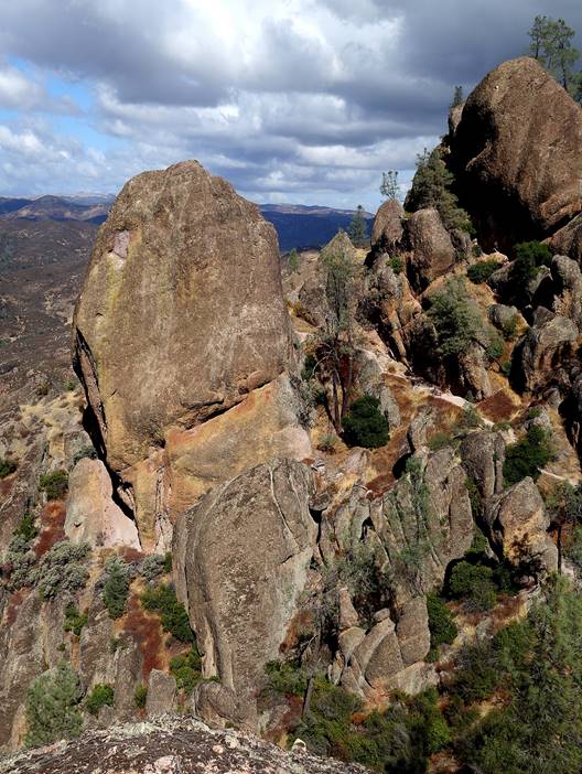
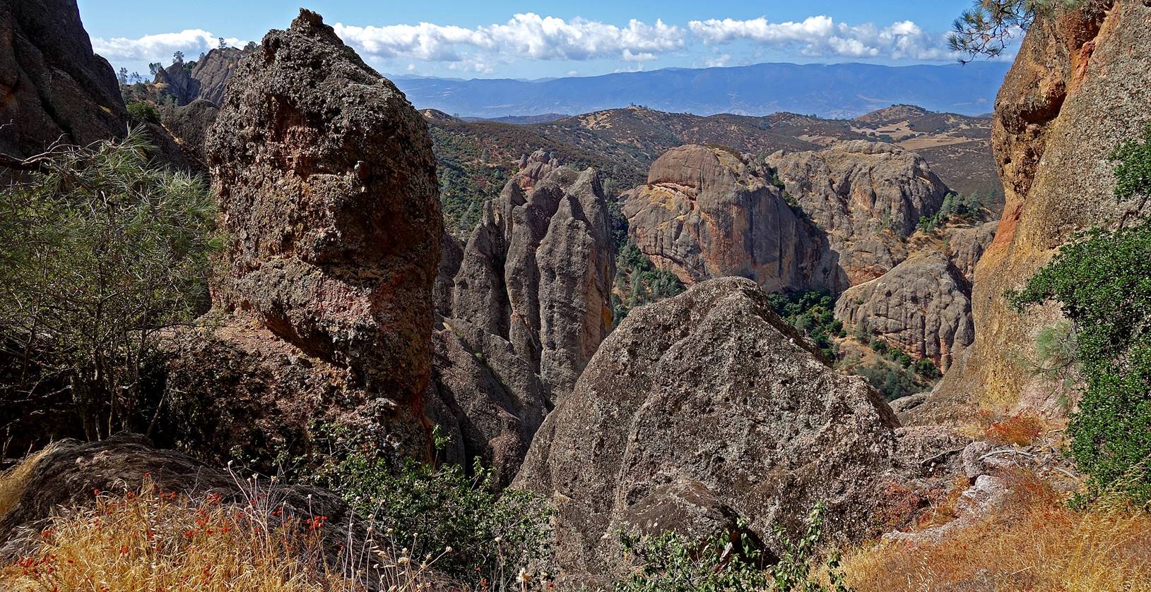
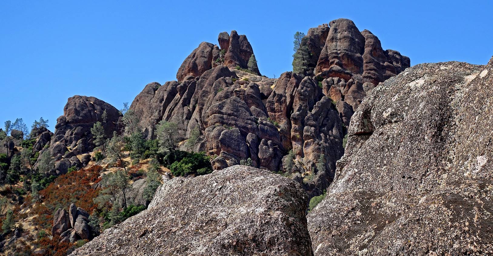
The Carousel.
The Anvil.
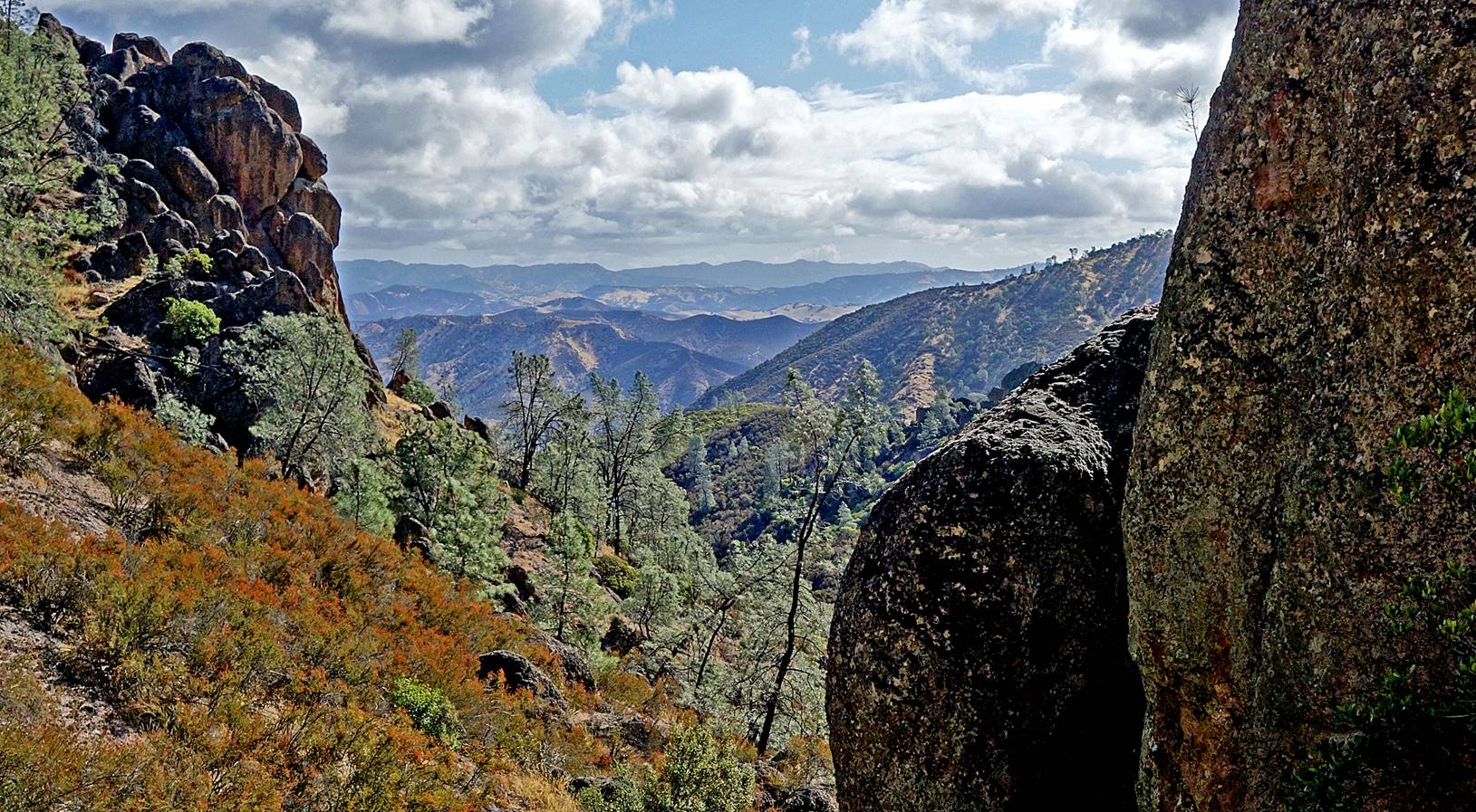
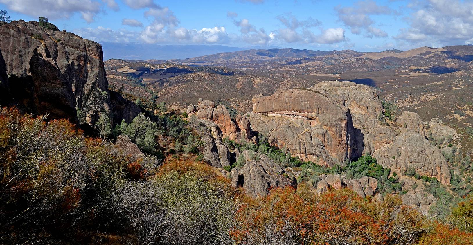
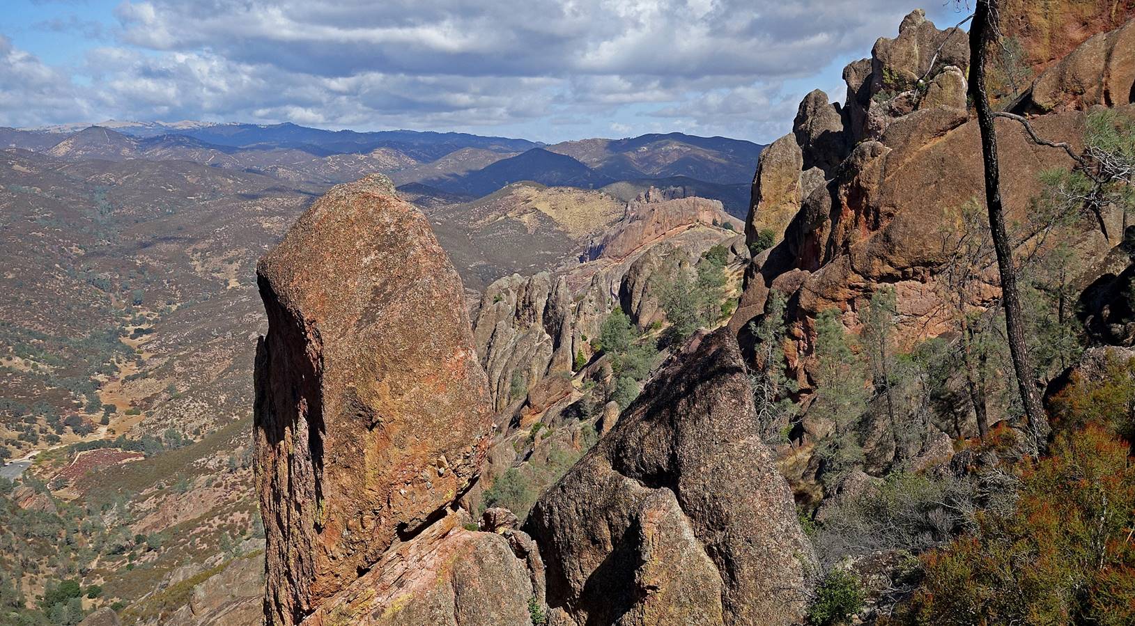
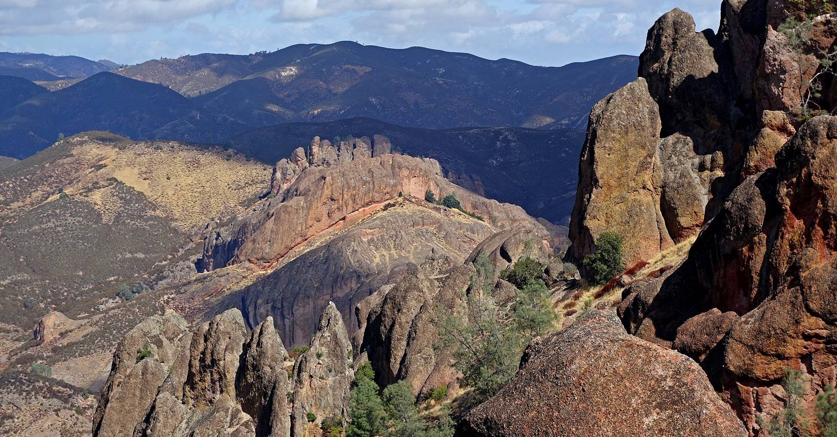
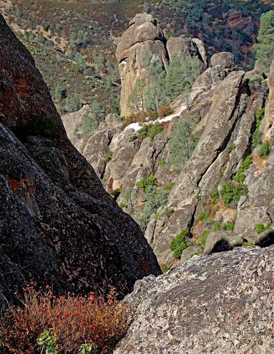
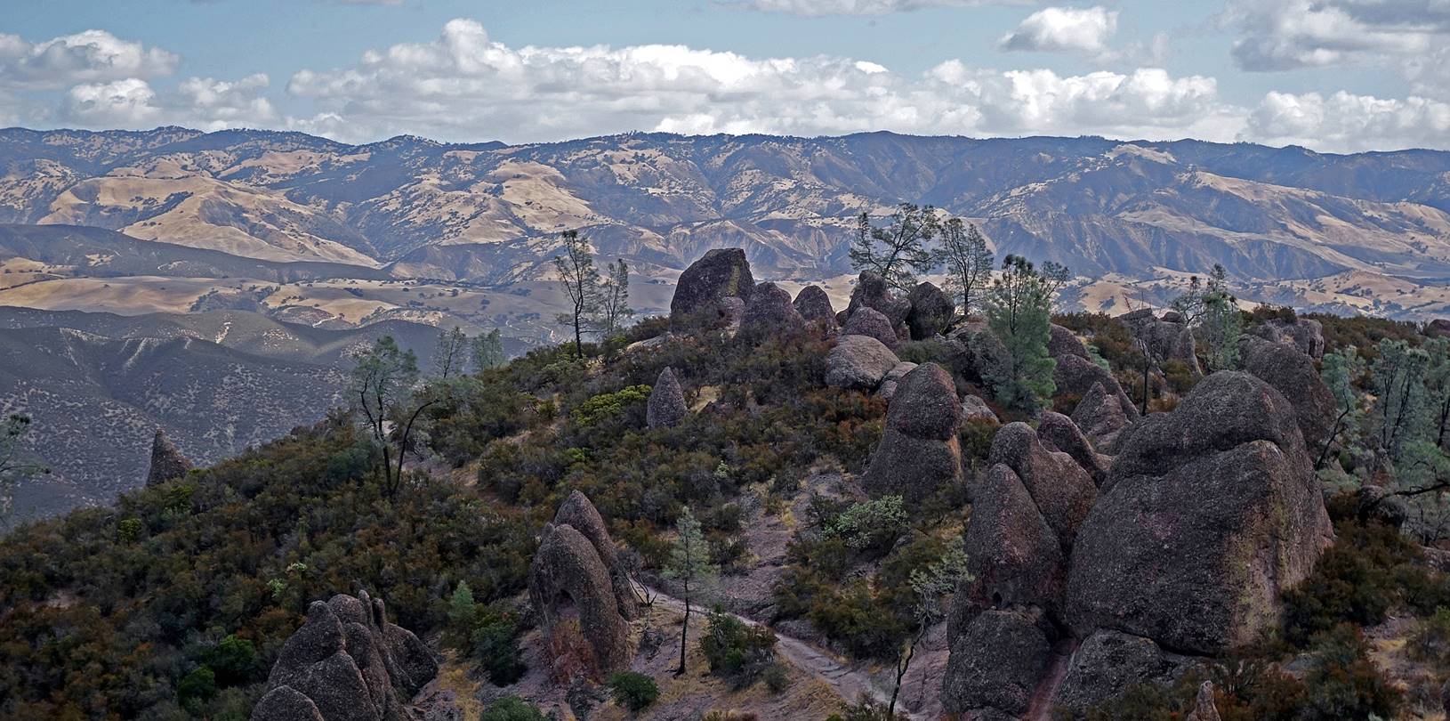
View toward
the south from the High Peaks trail.
Pinch or
Lynch Wall.
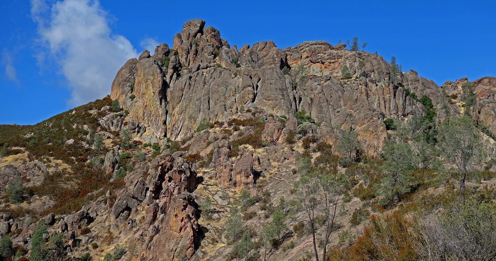
Pinch or
Lynch Wall.
From left to
right, in the right half of the photo: Salathe′s
Silver, Nelson′s Needle, and Generation Gap.
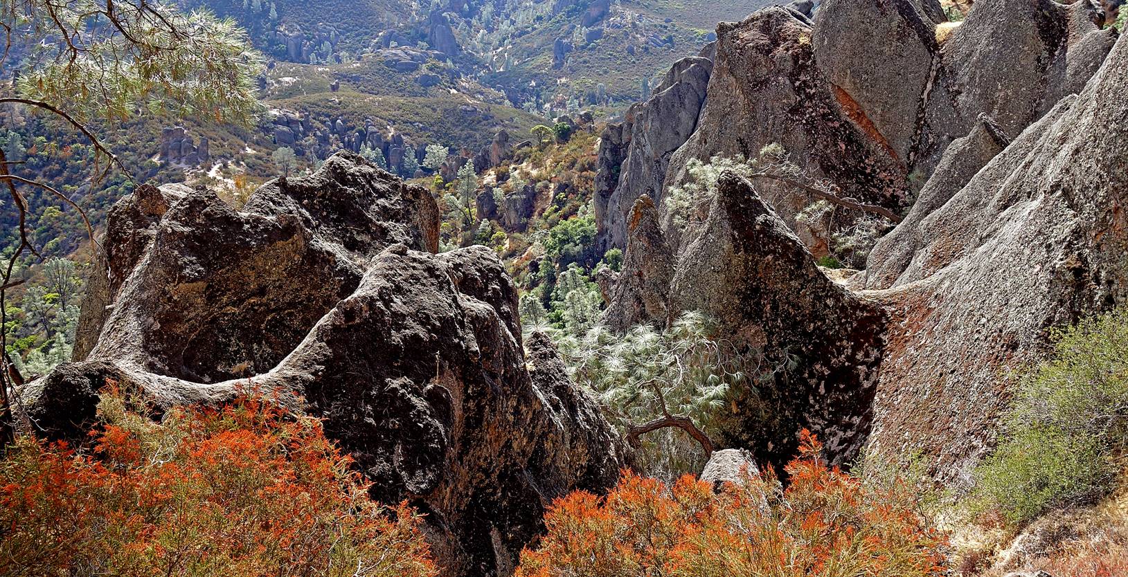
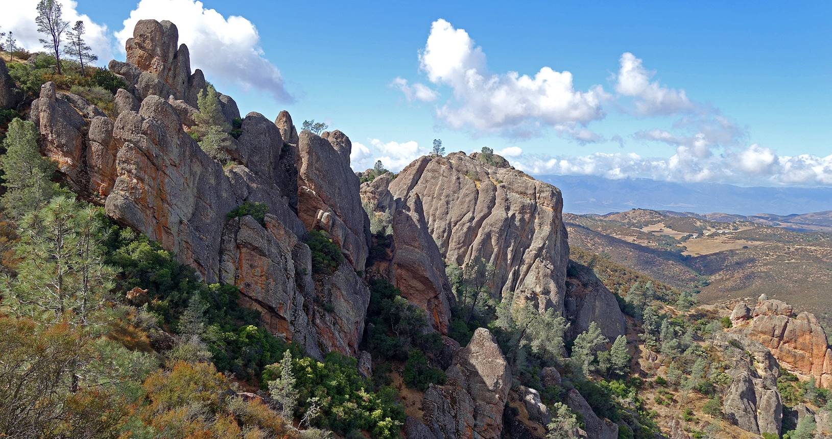
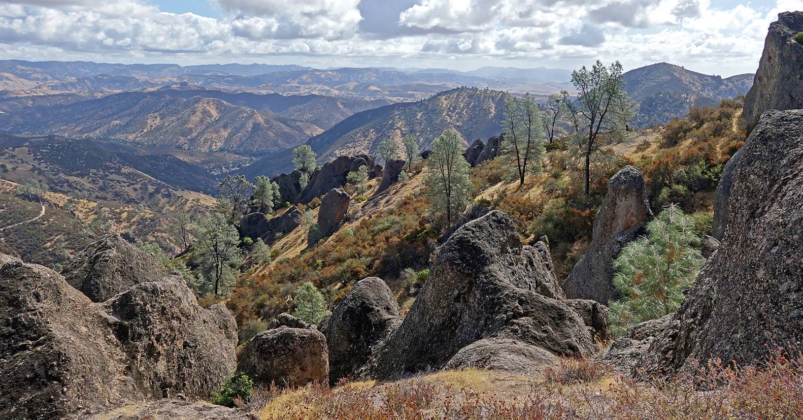
View toward
the east from the High Peaks trail.
|
|
|
|
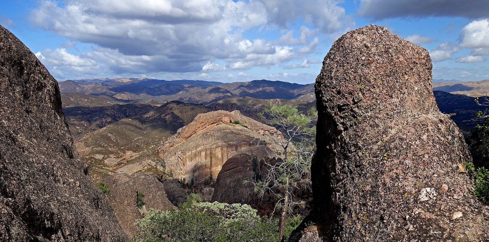
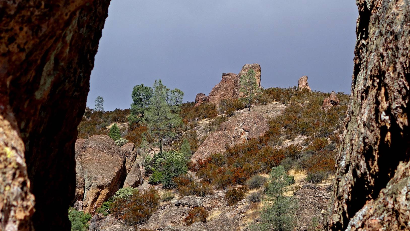
View toward
the west from the junction of the High Peaks and Juniper Canyon trails, with
Goat Rock on the left and Resurrection Wall at the center-right of the photo.
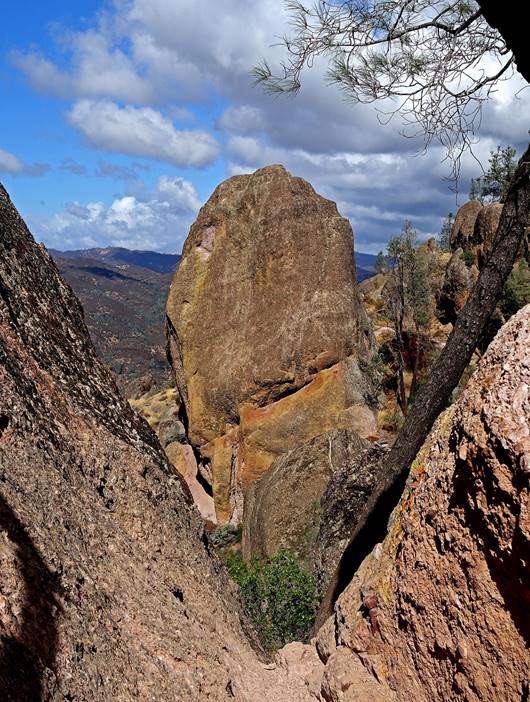
Goat Rock at
the center of the photo.
|
|
|
|
Photographer′s
Delight in the rightmost photo.
Condor Crag
at the upper-center of the photo and Mechanic′s Delight at the
center-left.
Mechanic′s
Delight at the forefront on the left side of the photo.
The Balconies
at the center of the photo.
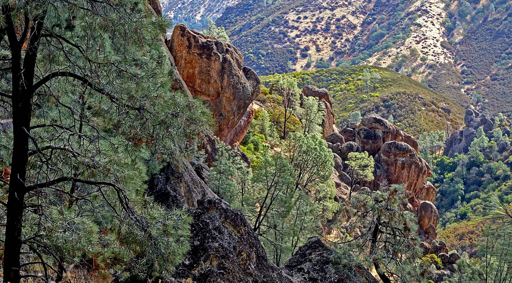
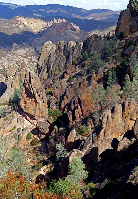
View toward the east from the High Peaks trail. A small portion of the
Condor Gulch trail is visible on the left of the photo.
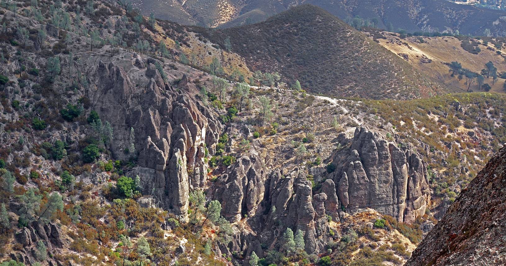
View over the
Condor Gulch trail from the High Peaks trail.
|
|
|
|
View toward
the west from the High Peaks trail, with Resurrection Wall near the center of
the photo.
Another view
toward the west from the High Peaks trail, with Resurrection Wall near the
center of the photo.
The
Balconies, at the center of the photo.
View toward
the east from the upper part of the Condor Gulch trail.
Another view
toward the east from the Condor Gulch trail.
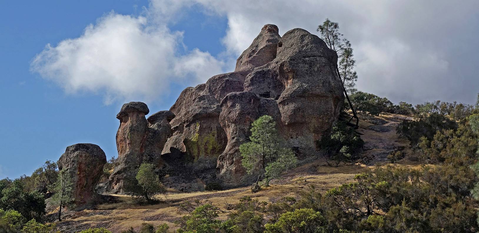
Casino Rock
seen from the Condor Gulch trail.
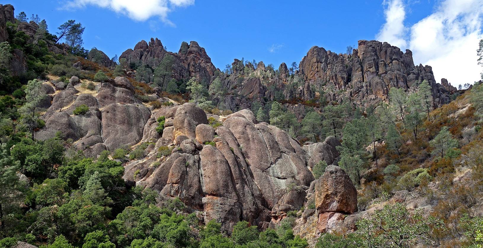
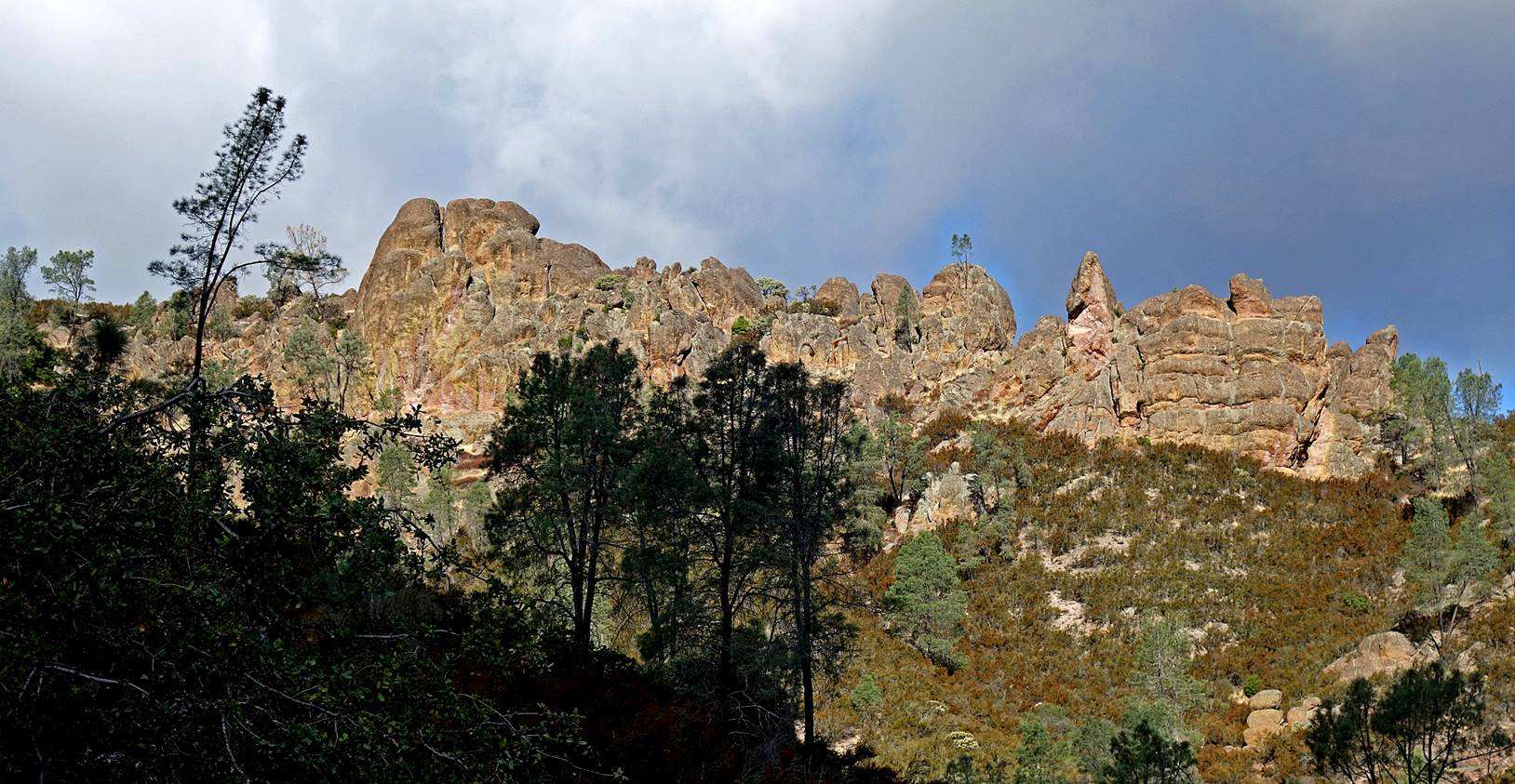
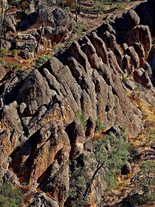
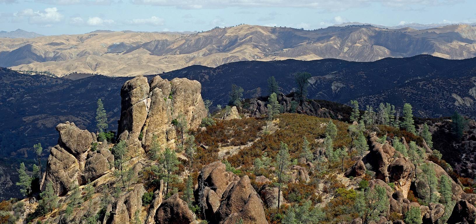
More crags
along the Condor Gulch trail, soon before reaching the Bear Gulch day use area.
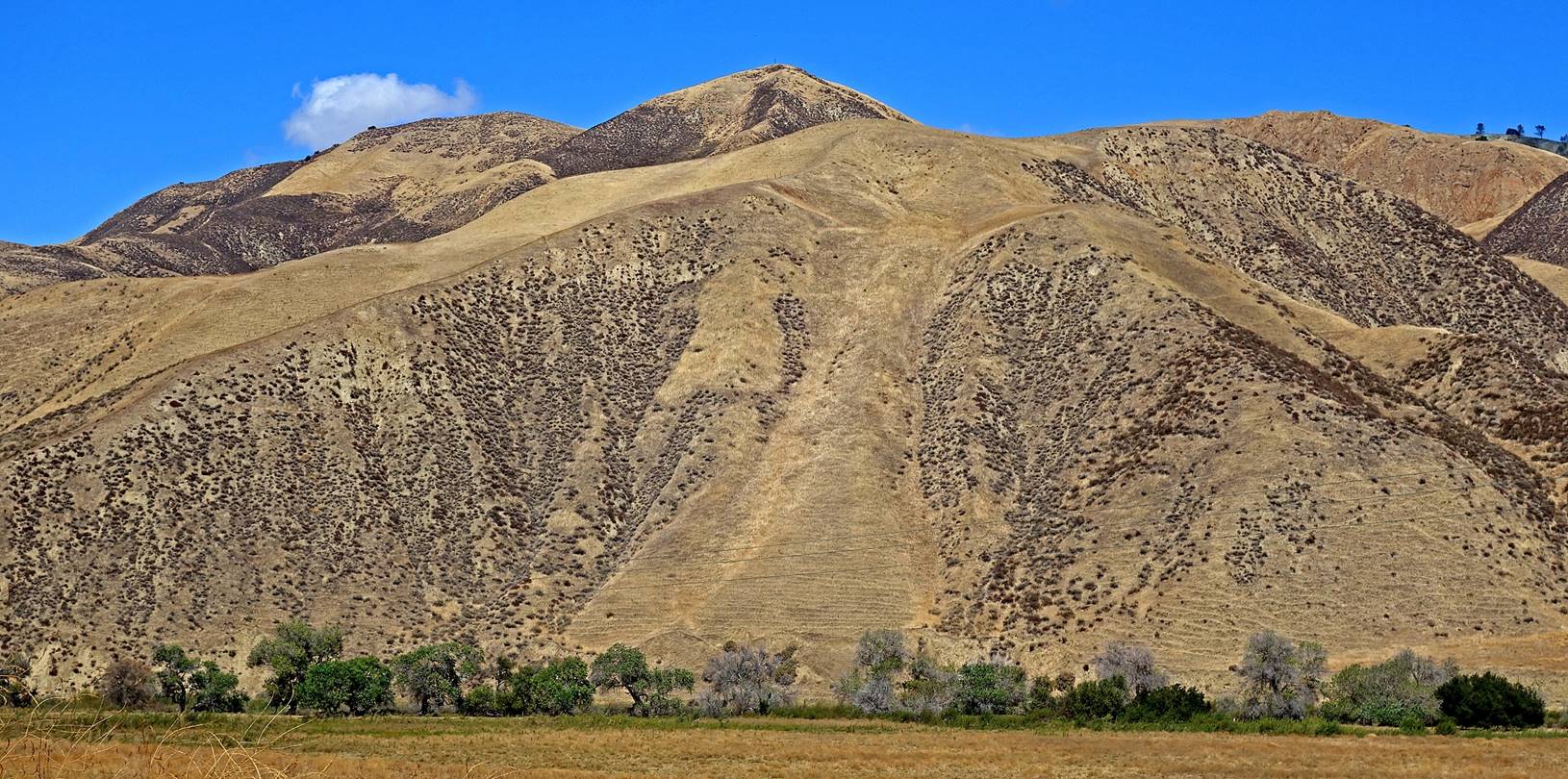
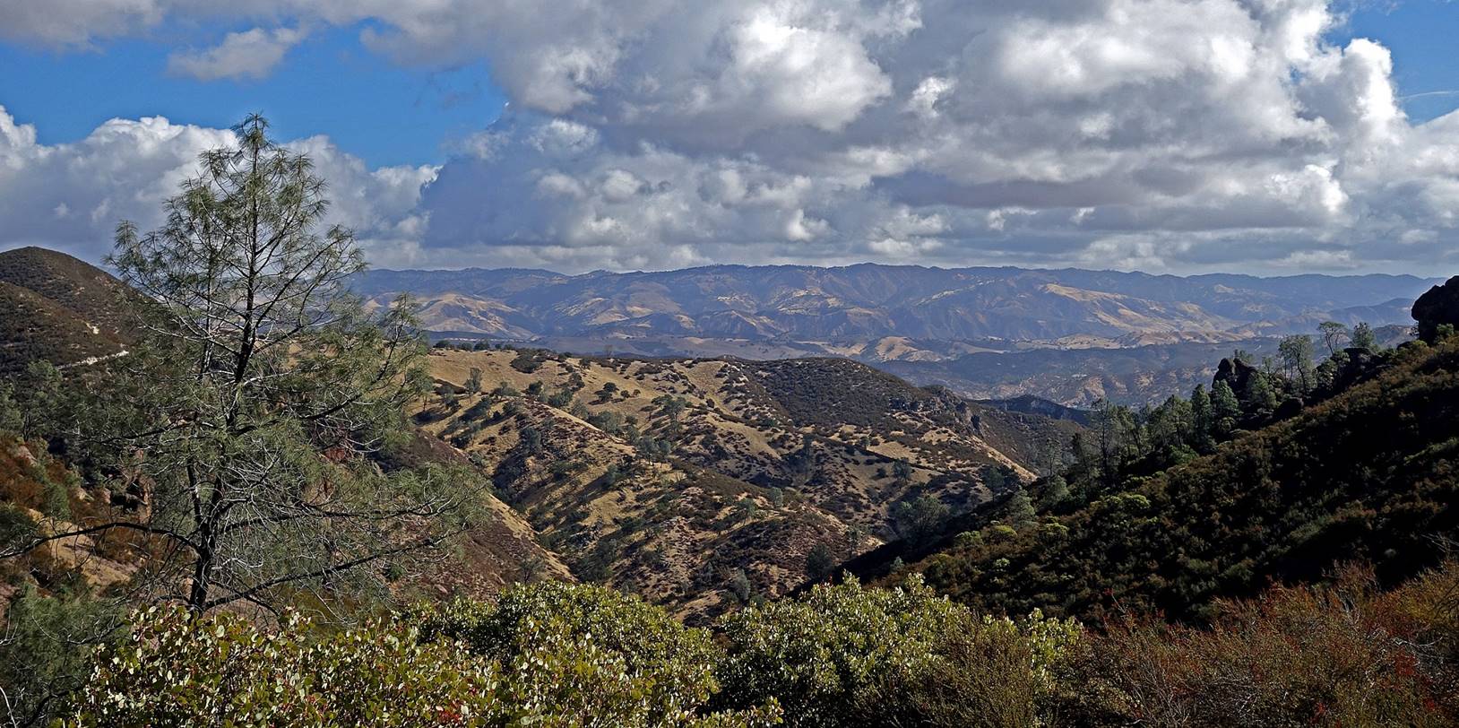
Landscape
just outside the Pinnacles NP, on the park′s eastern side: a completely
different world.
![]()