Trek Around Jebel Waougoulzat
(June 2004)
![]()
Return to my
mountaineering-trekking-travel webpage
My
daughter Laurence and I did a 7-day trek around Jebel Waougoulzat in
the central part of the High Atlas in June 2004. These are photos of this trek.
We started and finished in Tabant in the valley of the Ait
Bouguemez, north of Jebel Waougoulzat.
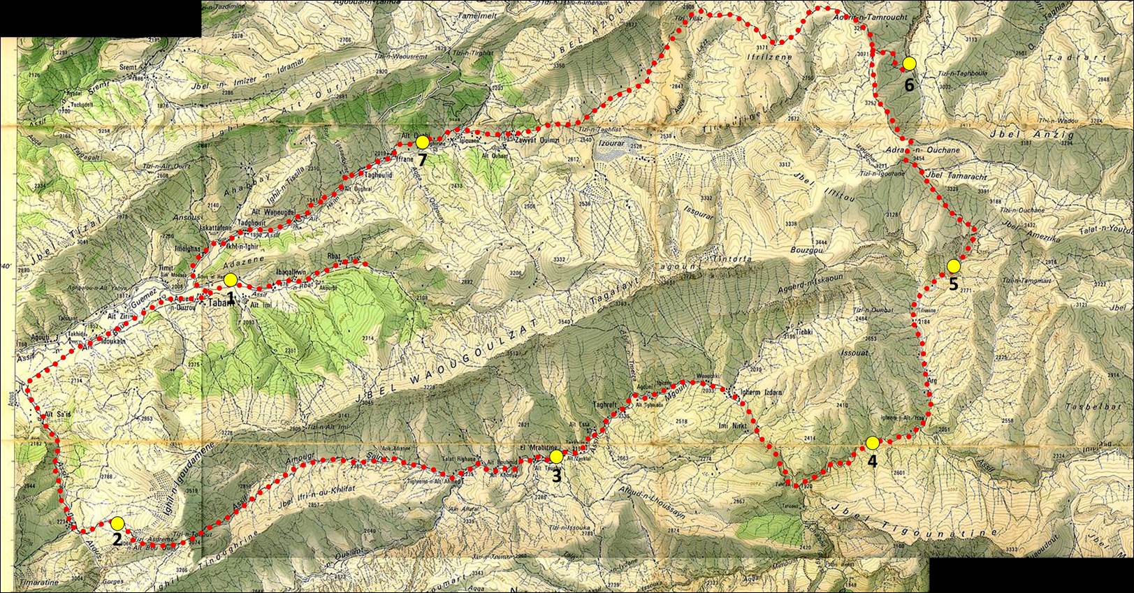
Map
of the trek area. The itinerary is shown in red dotted line. Yellow dots
indicate the locations where we spent the nights. Dots 2, 4, 5, and 6 were
outside camps, whereas 1, 3, and 7 were ″gites″ (kinds of
homestays/guesthouses). To see a larger-scale non-annotated topographic map
click here.
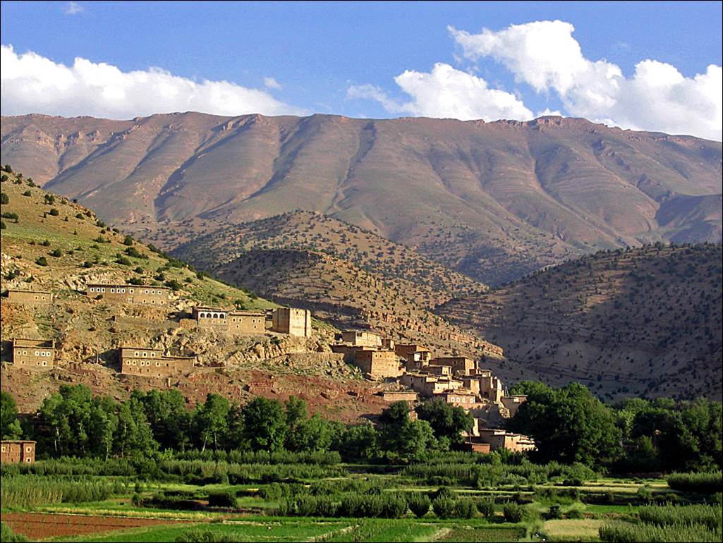
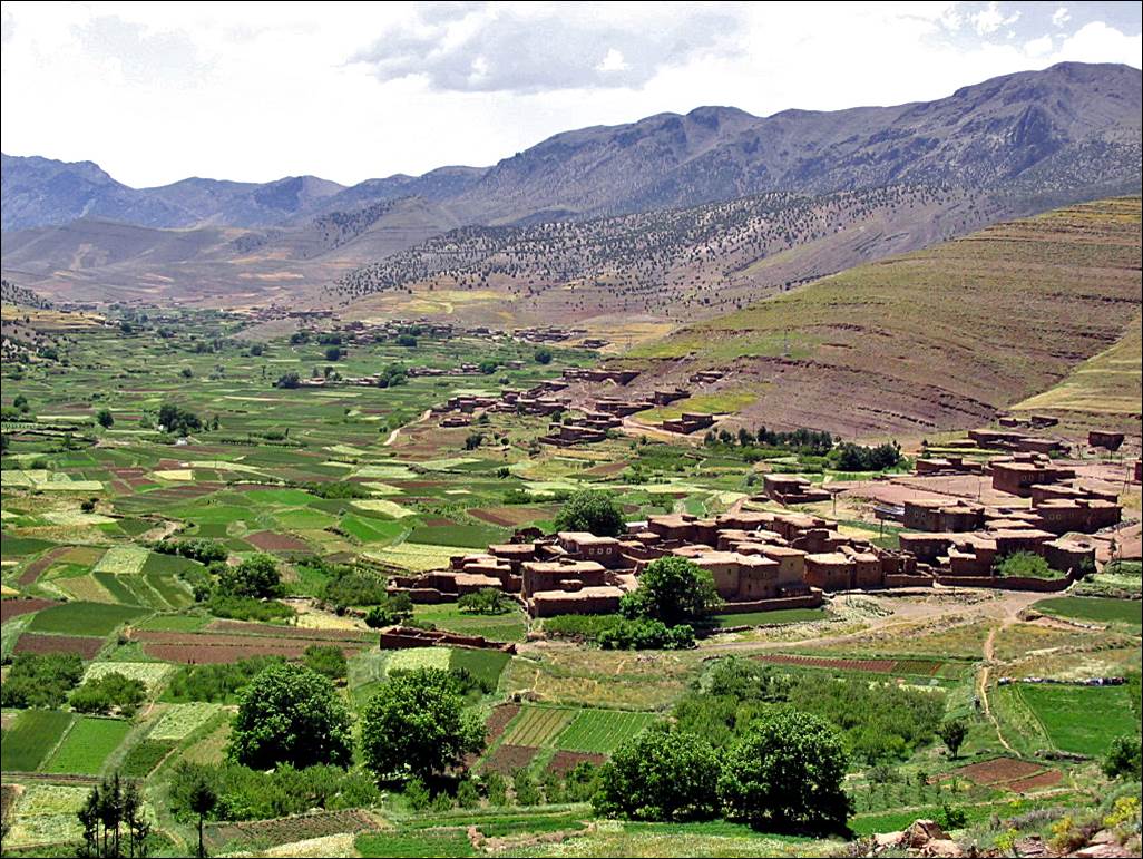
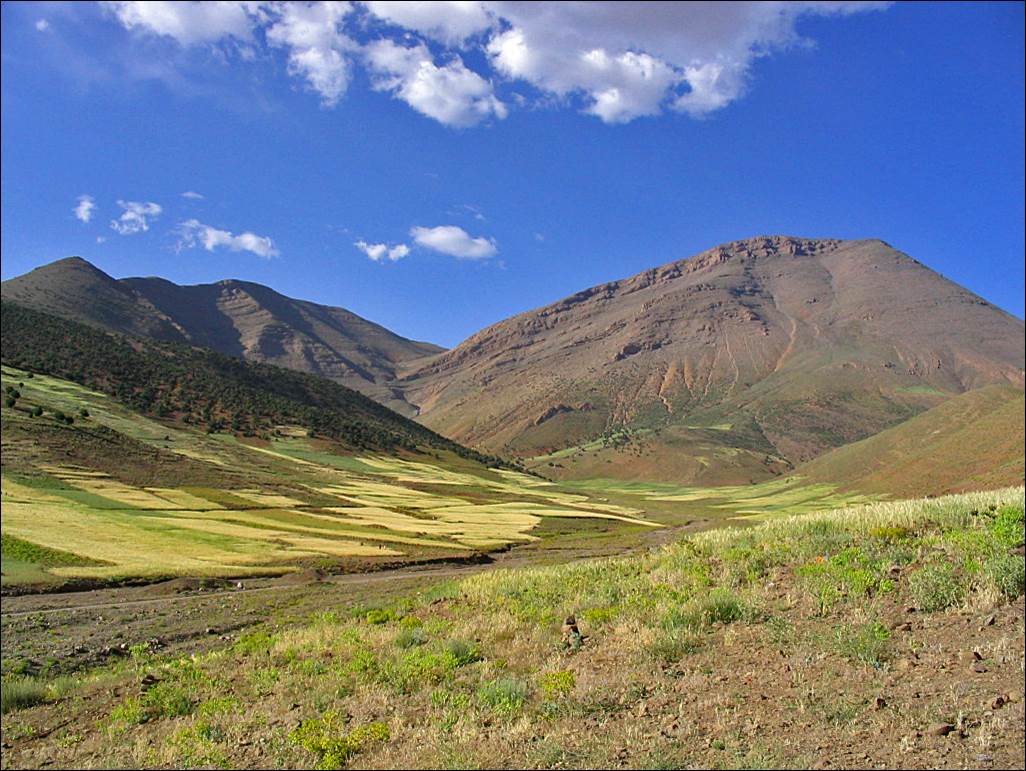
Village
of Ait Imi near Tabant, seen from the gite Oulaidi, with Jebel Waougoulzat
in the background.
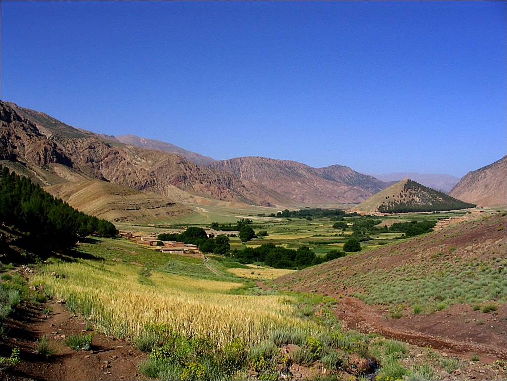
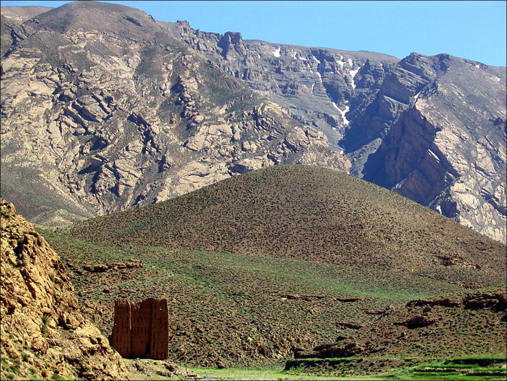
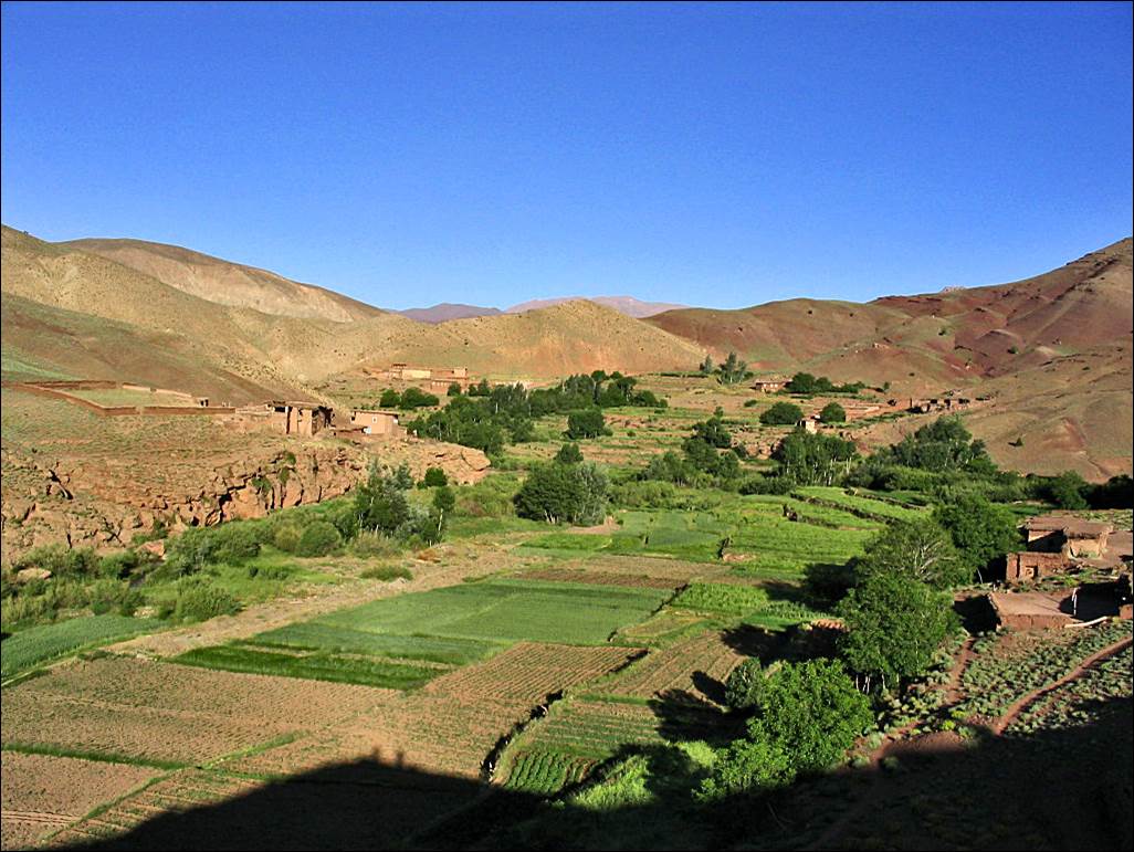
View
of the Ait Bouguemez valley
toward the west, soon after leaving Tabant. An old
communal granary (barely visible) stands on top of the conic hill on the right.
This granary also contains the grave of marabout (Muslim holy man) Sidi Moussa.
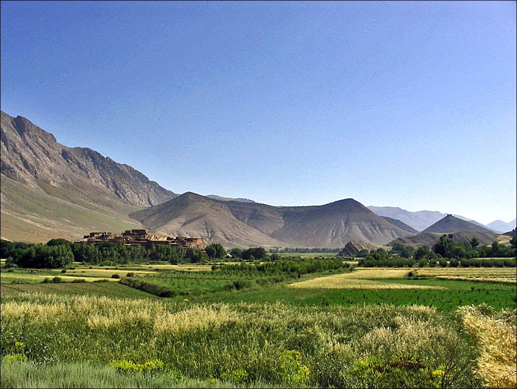
Looking
back (toward the east) at the valley before reaching Assif Arous. The granary
is visible on the right of the picture.
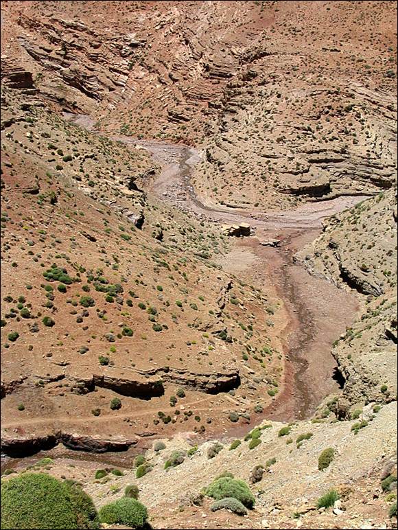
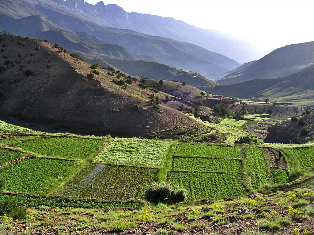
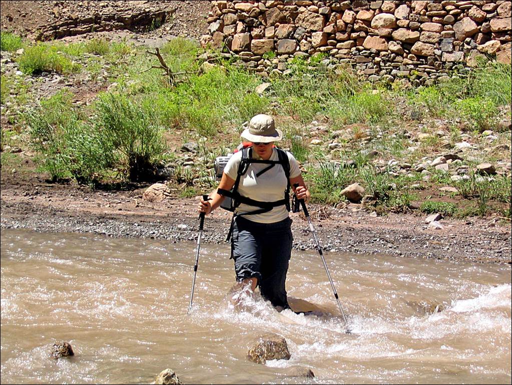
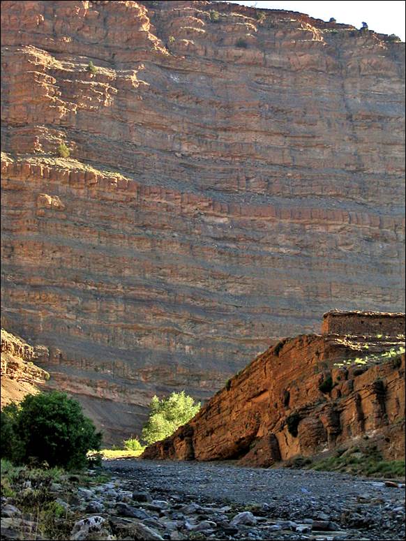
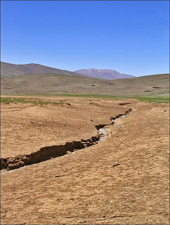
Lower portion of the Assif
Arous valley.
|
|
|
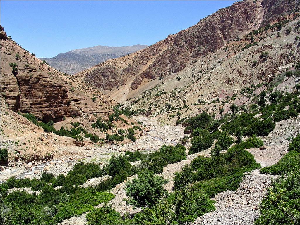
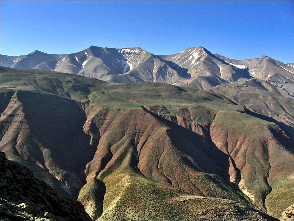
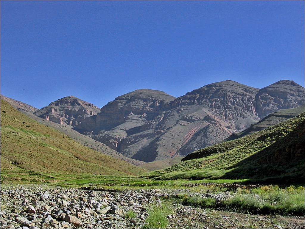
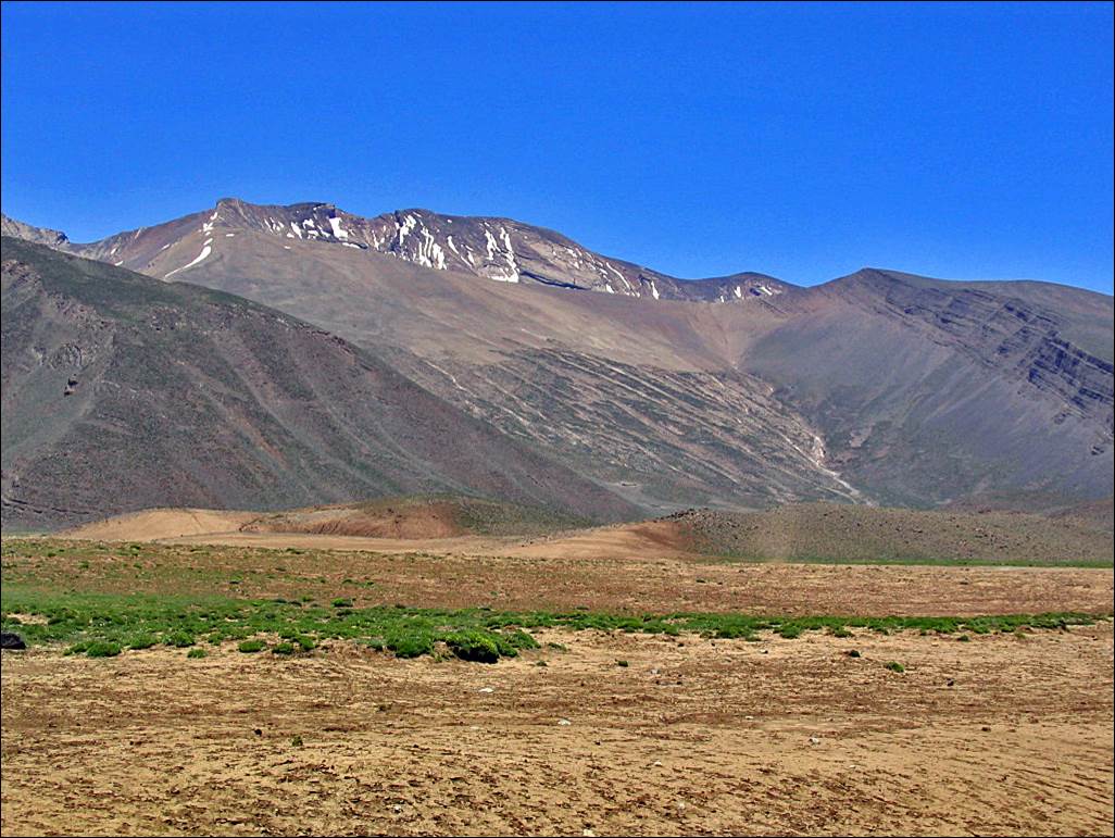
Middle portion of the Assif Arous valley before reaching the
narrow gorges. Jebel Mgoun (with snow patches) is in
the background.
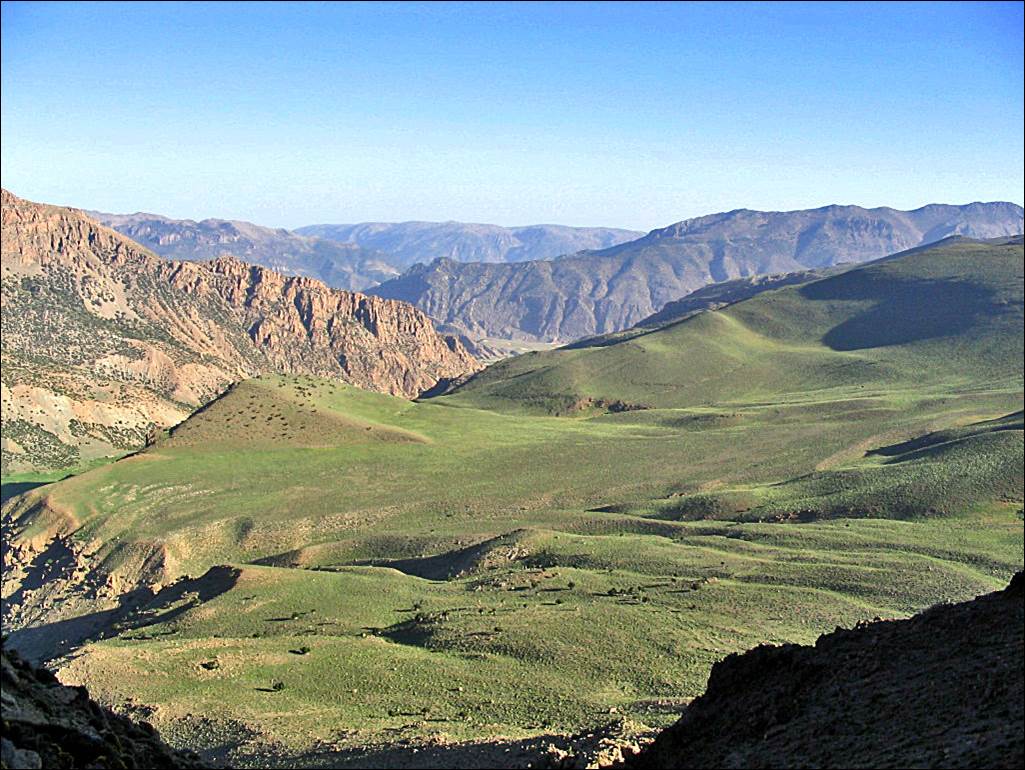
Plateau
above Jebel Arous, the site of our first camp.
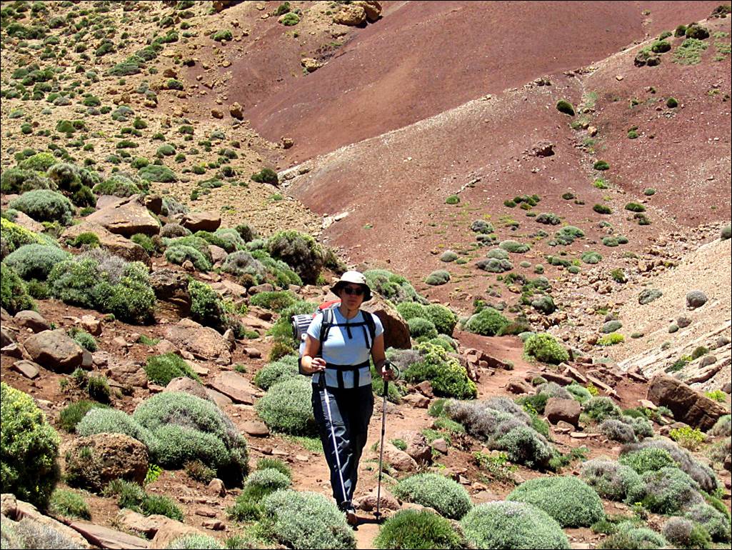
Laurence
looking at the map: where is the trail to Tizi Asdremt-n-Ait Bou Oulli (first pass of this
trek)?
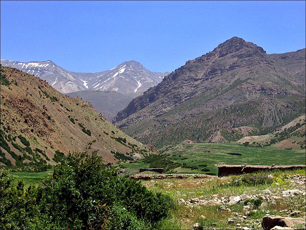
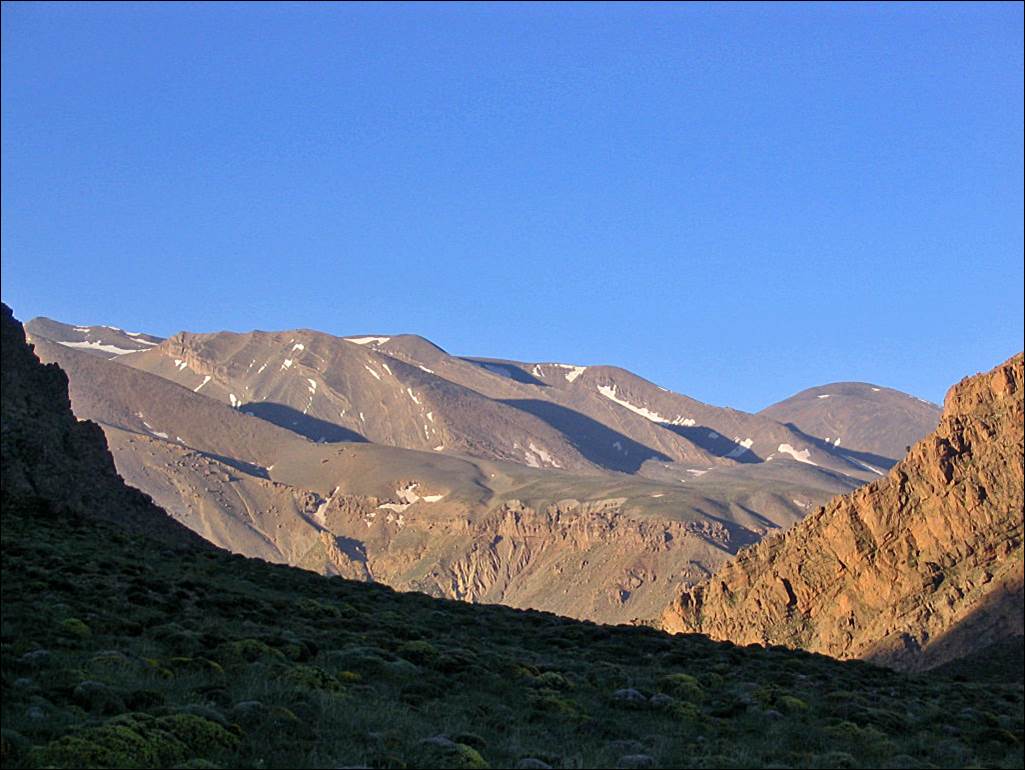
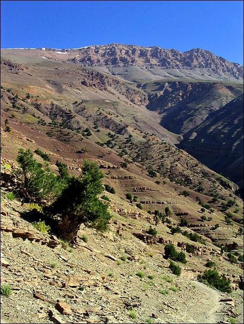
View
of the Jebel Mgoun from our camp in the early morning
of the next day.
Left:
view over the valley of Assif Arous during our ascent to Tizi Asdremt-n-Ait Bou Oulli. Right: Laurence reaching the pass.
|
|
|
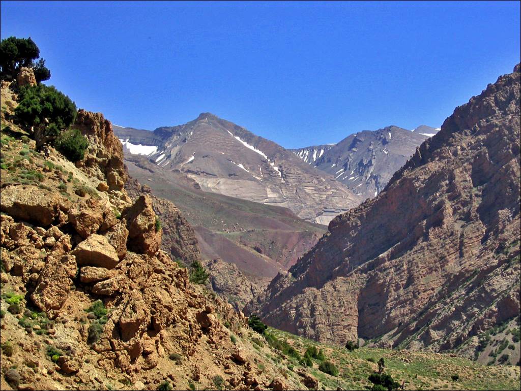
View
of Jebel Mgoun from Tizi Asdremt-n-Ait Bou Oulli.
Azibs (shepherd houses) just
below Tizi-n-Tanout.
Along
Assif Amougr.
|
|
|
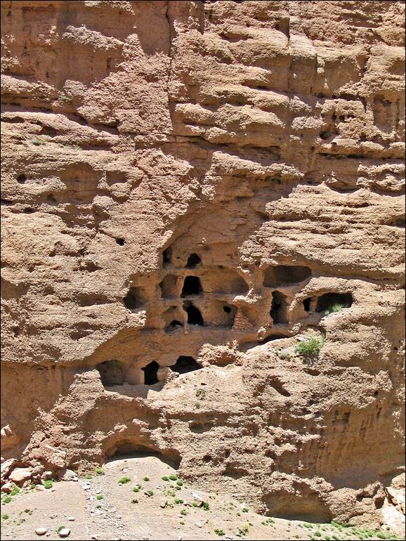
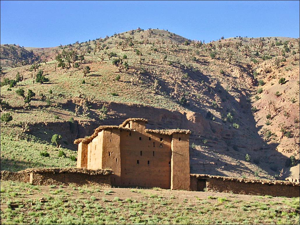
The
isolated granary of Tighremt-n-Ait
Ahmed, where Assif Amougr and Assif Oulilimt merge to form Assif Mgoun.
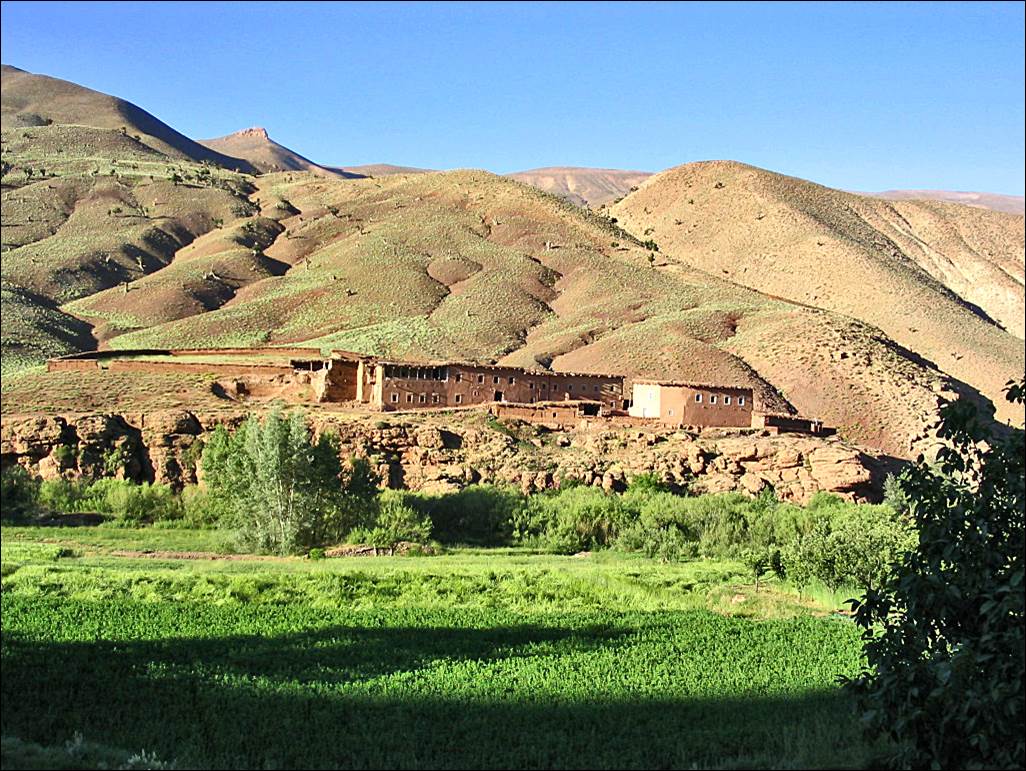
Left:
along Assif Mgoun. Right: our ′′gite′′
(homestay) at El Mrabitine.
|
|
|
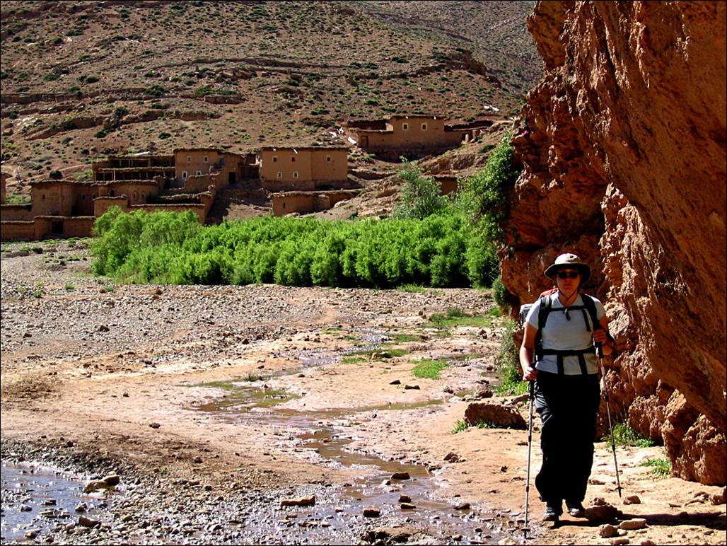
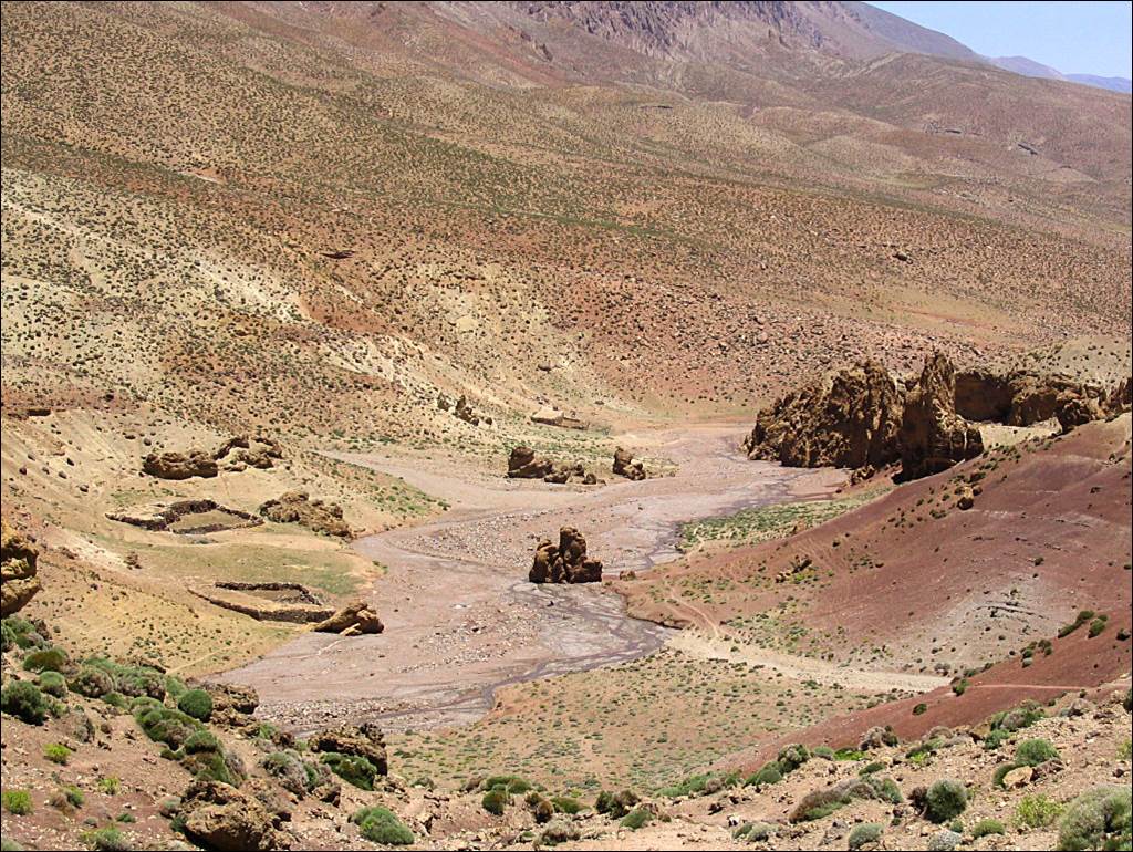
In the valley of Assif Mgoun, below El Mrabitine.
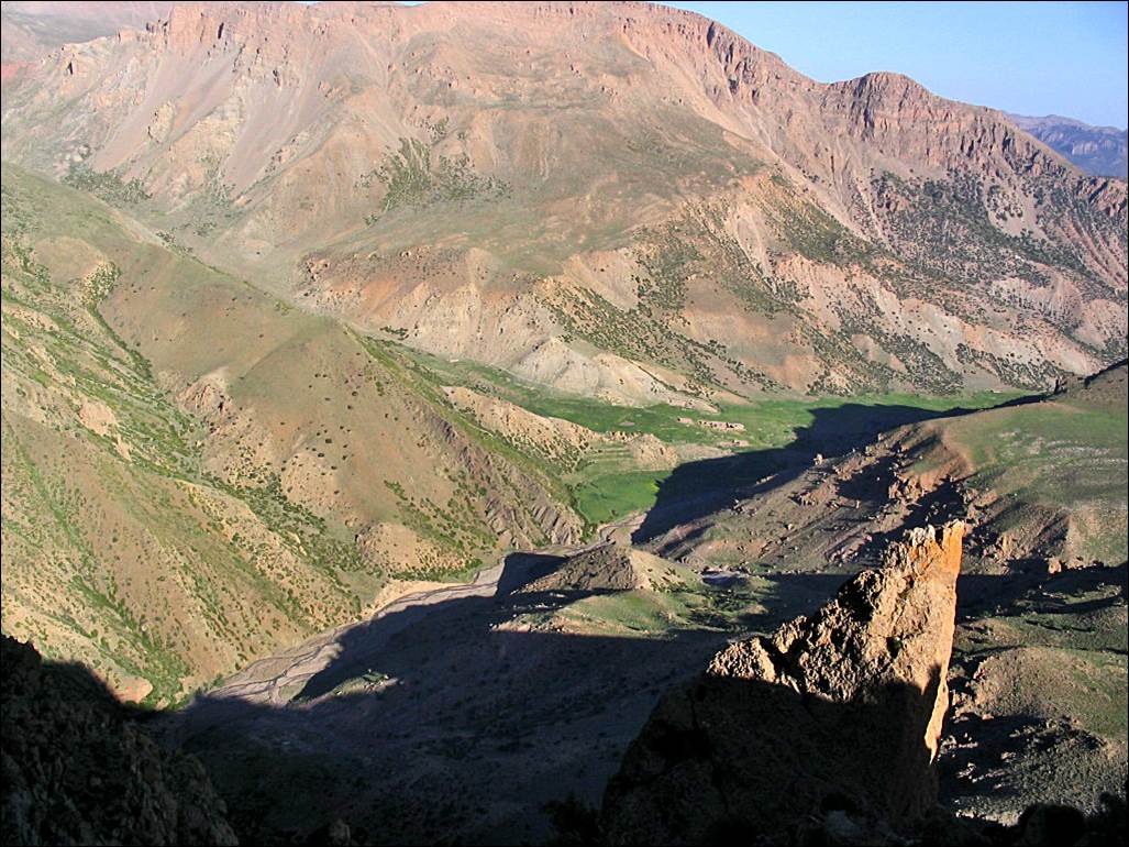
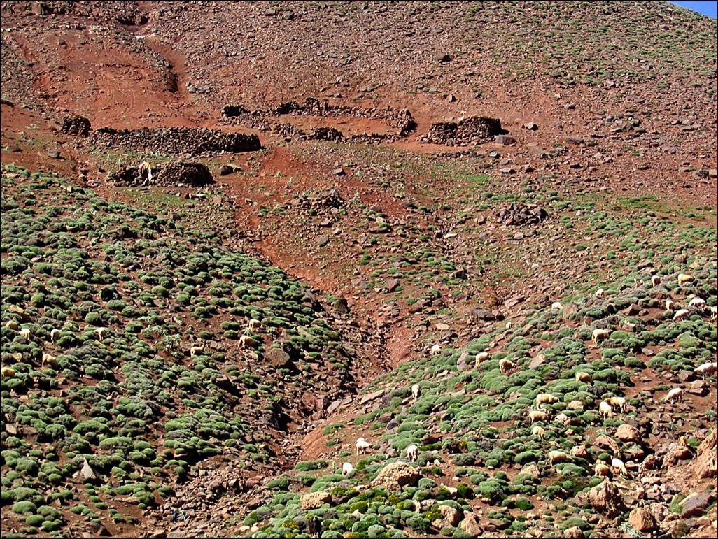
Views
of Jebel Waougoulzat near the village of Igherm Izdarn, where Assif Mgoun bends to head toward the south.
|
|
|
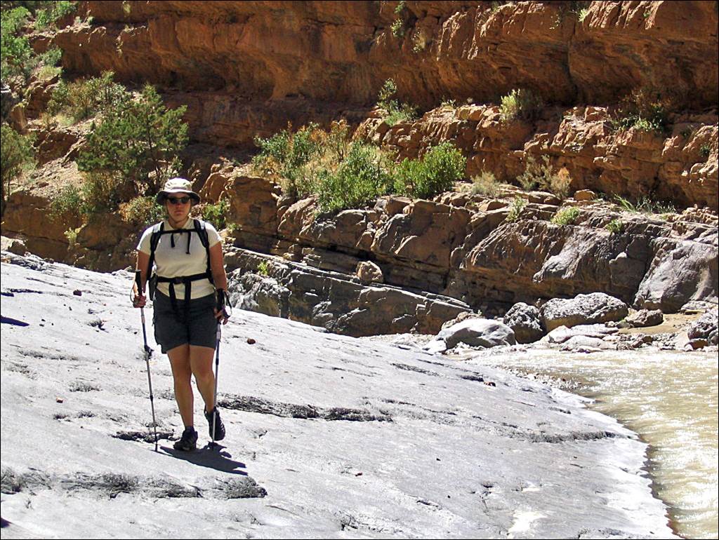
Hiking
in Assif Mgoun below Imi Nirkt.
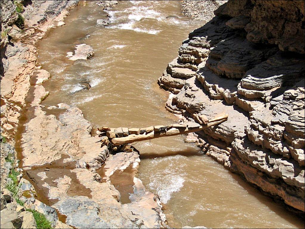
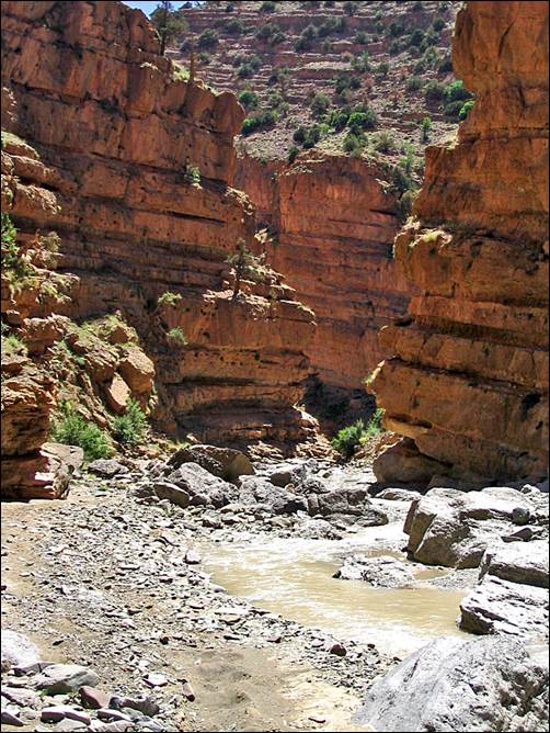
Small bridge over Assif Mgoun, just before reaching Assif Amejdag.
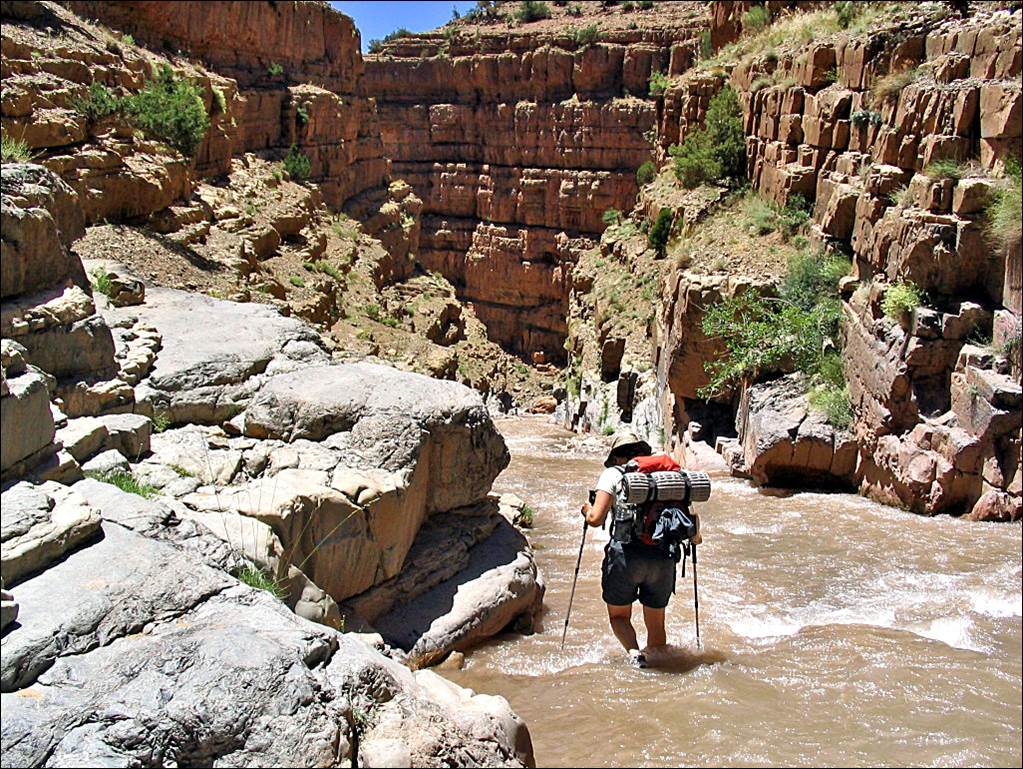
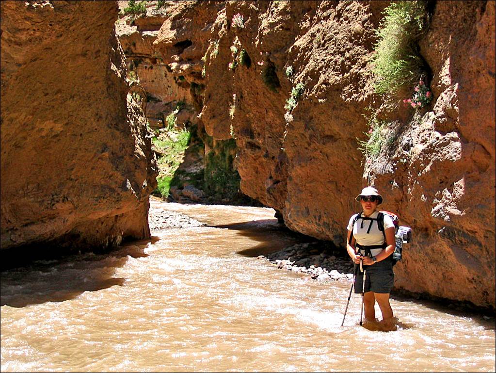
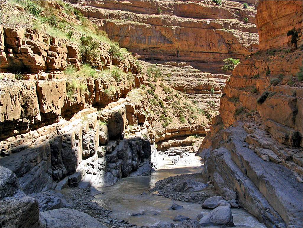
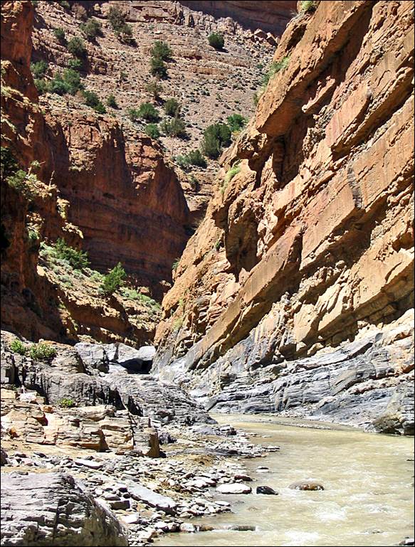
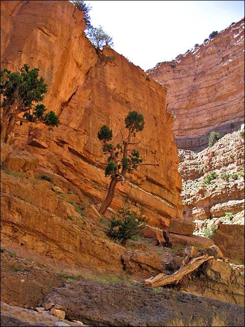
In the gorge of Assif Amejdag, which flows into Assif Mgoun.
|
|
|
|
|
|
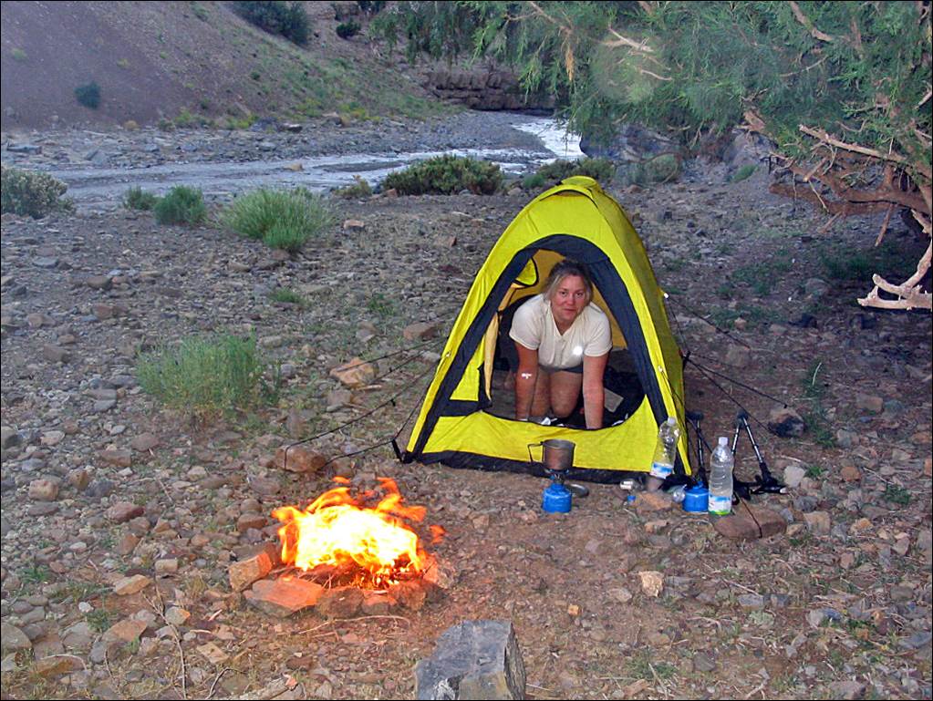
Camp
along Assif Amejdag. Here, there was a scorpion under
every rock! We were glad to have a tent.
Left:
reaching the small village of Ighrem-n-Ait Isso. Right: the village‛s
granary.
|
|
|
Valley
north of Ighrem-n-Ait Isso, looking toward Tiliwine and
Adrar-n-Ouchane in the
background. (The trail to Adrar-n-Ouchane,
starts at the end of the valley, at the last shepherd settlement, on the right.
It follows the stream′s bed to the end. At the beginning the trail is not
well marked.)
Left:
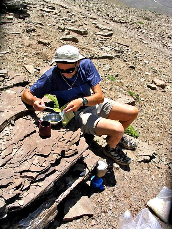
View from the Adrar-n-Ouchane
plateau. Right: Making lunch along the trail (it was fast-food couscous in
Morocco!).
|
|
|
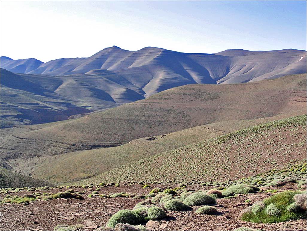
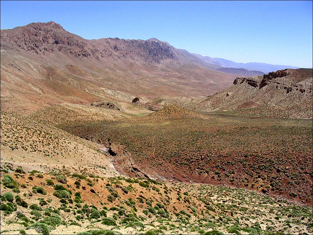
Another
view from the Adrar-n-Ouchane
plateau, down into a canyon leading to lake Izourar.
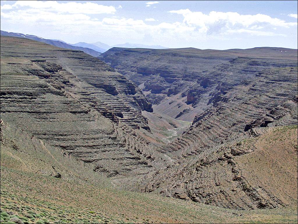
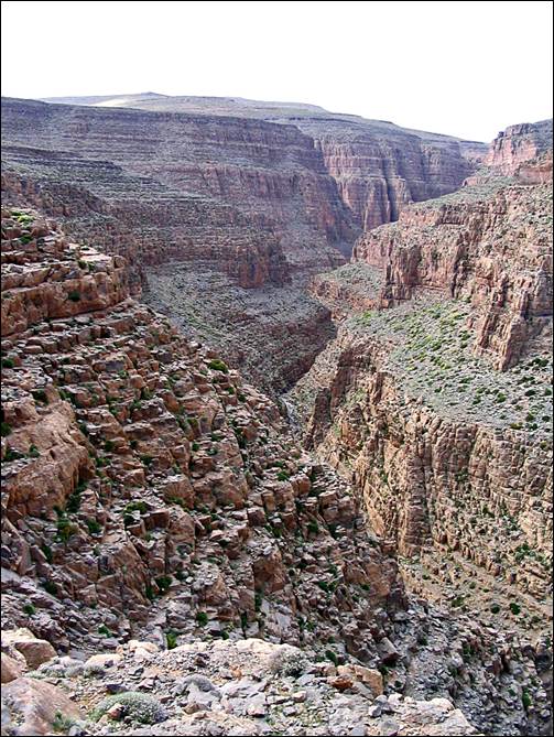
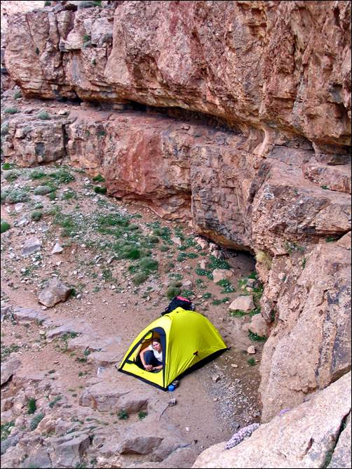
The
Aqqa-n-Tazaght (″aqqa″
means ″canyon″) and our camp on a ledge of this canyon. At some
point the descent into the canyon requires ropes that we did not have. We went
as far as we could and then returned to the top.
|
|
|
Views
of Jebel Aroudane from the south (first photo) and
from the south-west (second photo), as we started our trek back to Tabant.
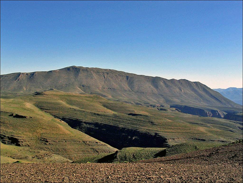
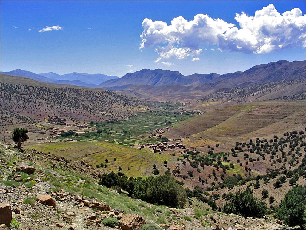
The depression of lake Izourar, without water in June!
|
|
|
Reaching
the western end of the Ait Bouguemez
valley. The river flowing in this part of the valley is Assif Ait Hkim.
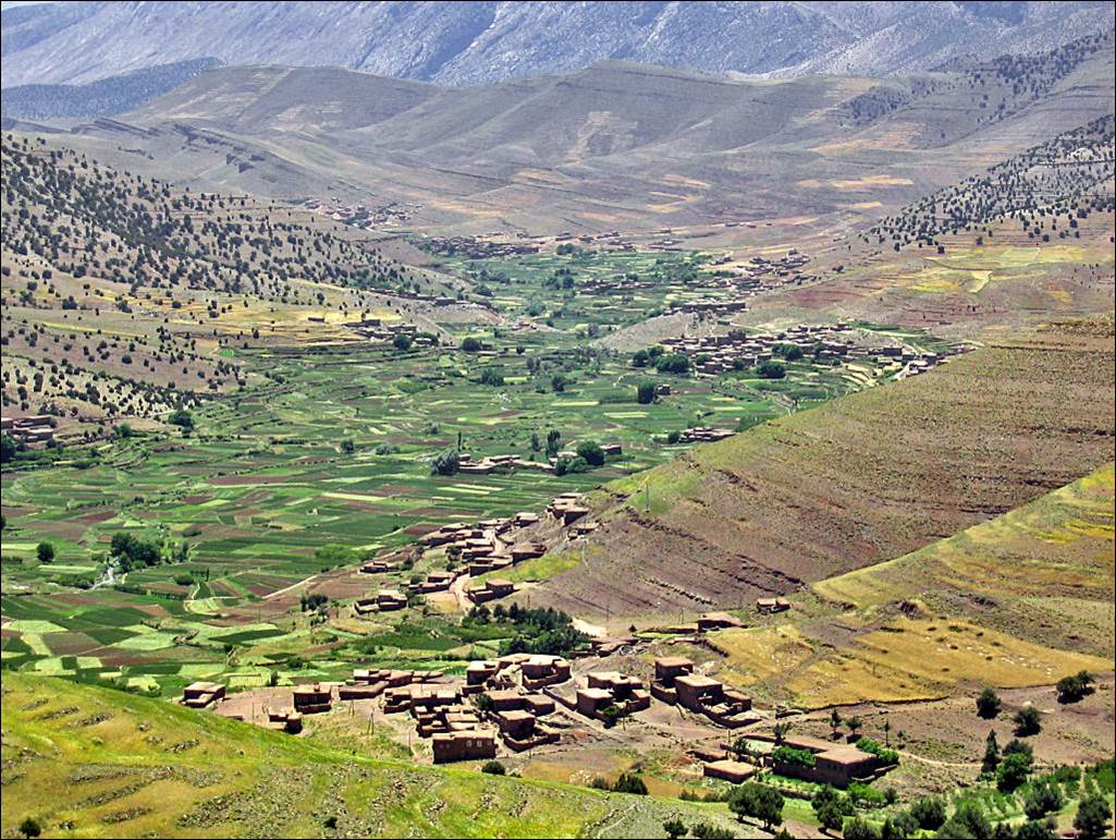
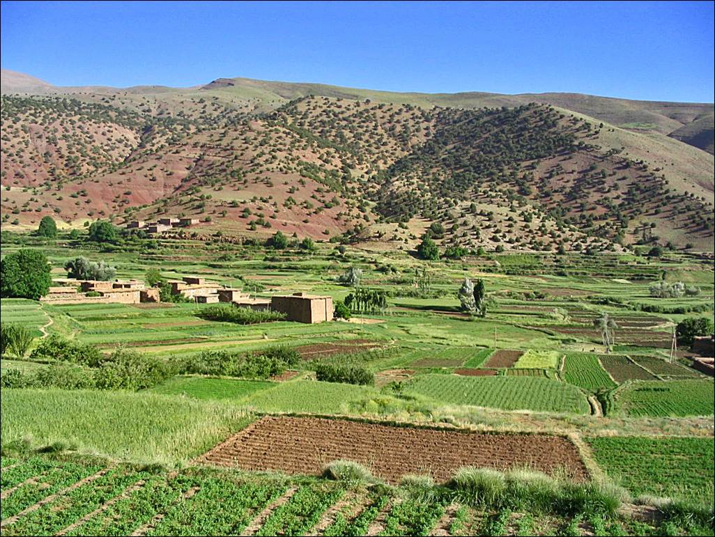
Views
over the villages spread along Assif Ait Hkim. The
first village in the forefront of both photos below is Zawyat
Oulmzi.
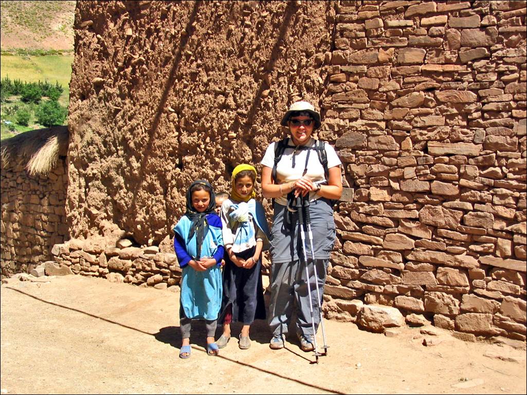
Laurence posing with two
girls in Zawyat Oulmzi.
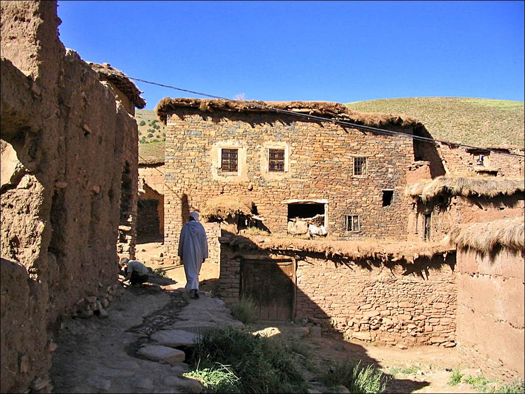
Stone
houses in Zawyat Oulmzi.
Along Assif
Ait Hkim on our way to Tabant.
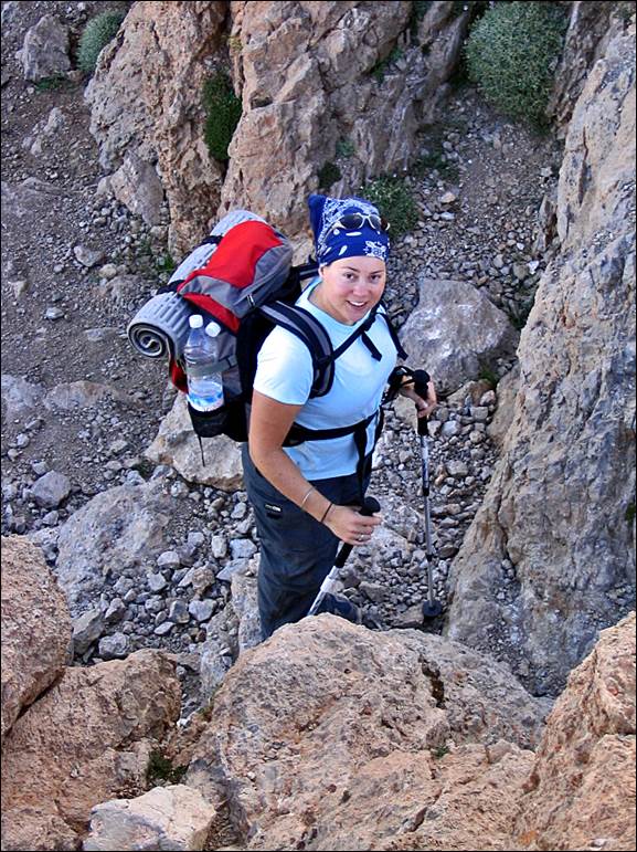
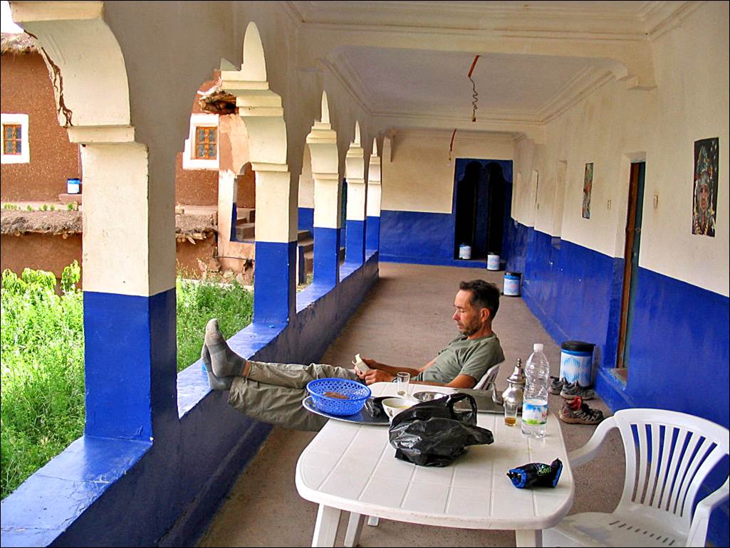
Me resting on the terrace
of the comfortable gite Oulaidi in Tabant at the end
of the trek.
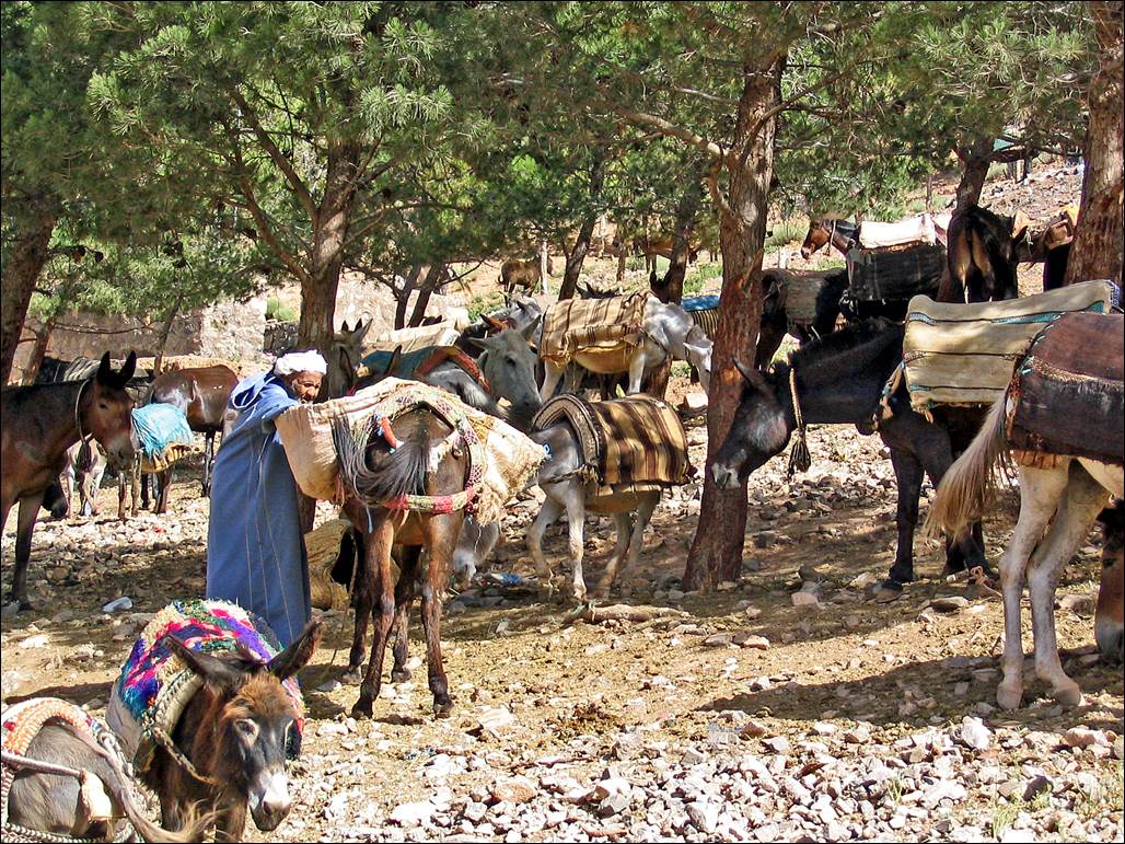
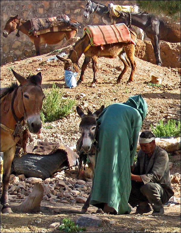
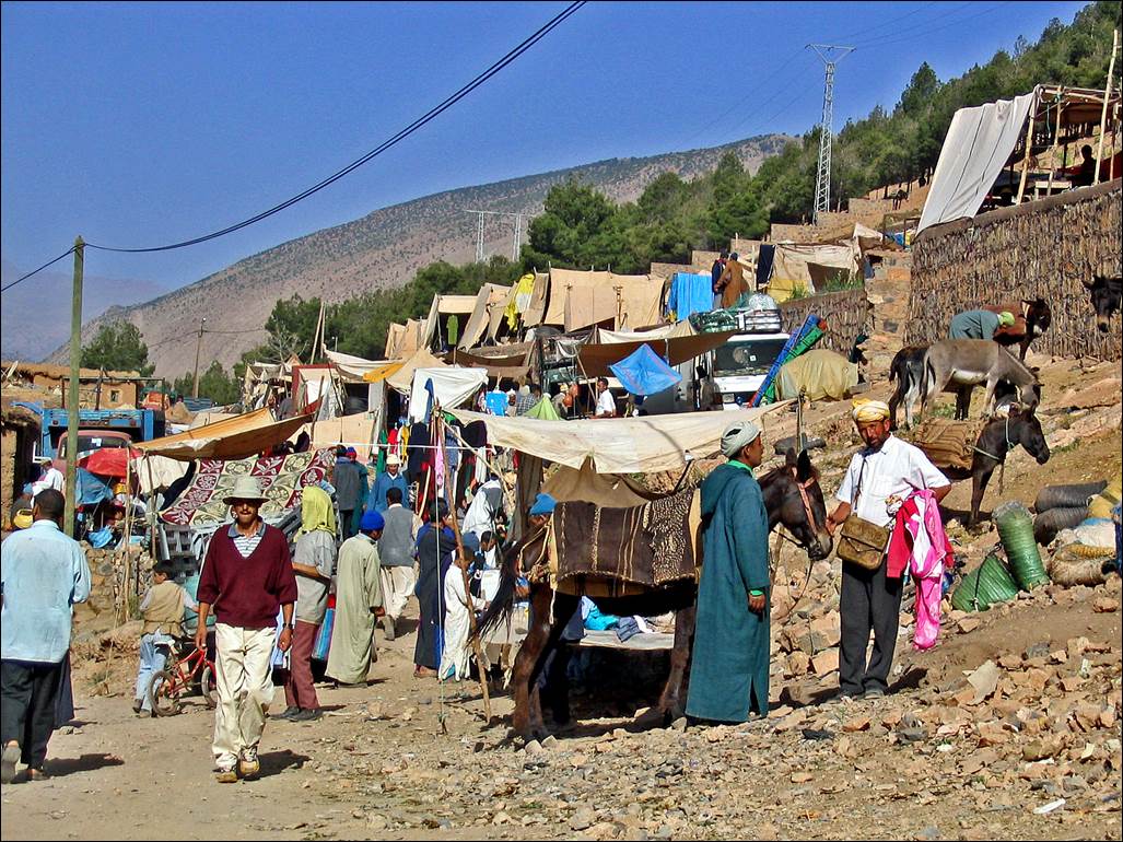
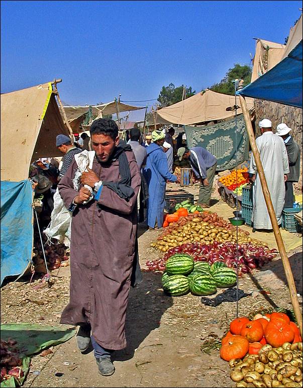
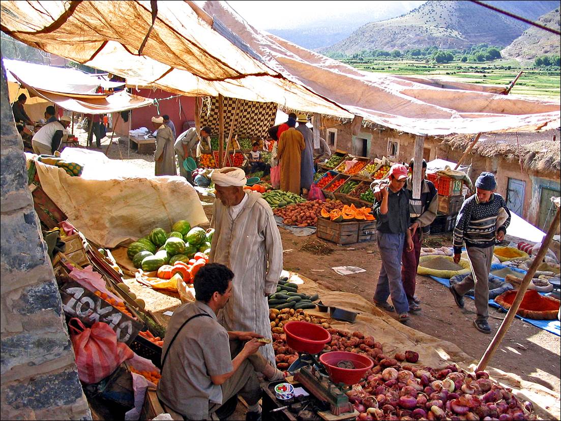
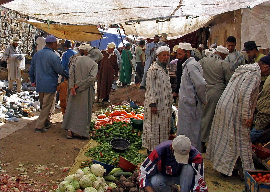
The next day was Sunday,
which is soukh (market) day in Tabant.
|
|
|
|
|
|
![]()