Traverse
of the High Atlas of Marrakech (June 18-24, 2006)
![]()
Return to my
mountaineering-trekking-travel webpage
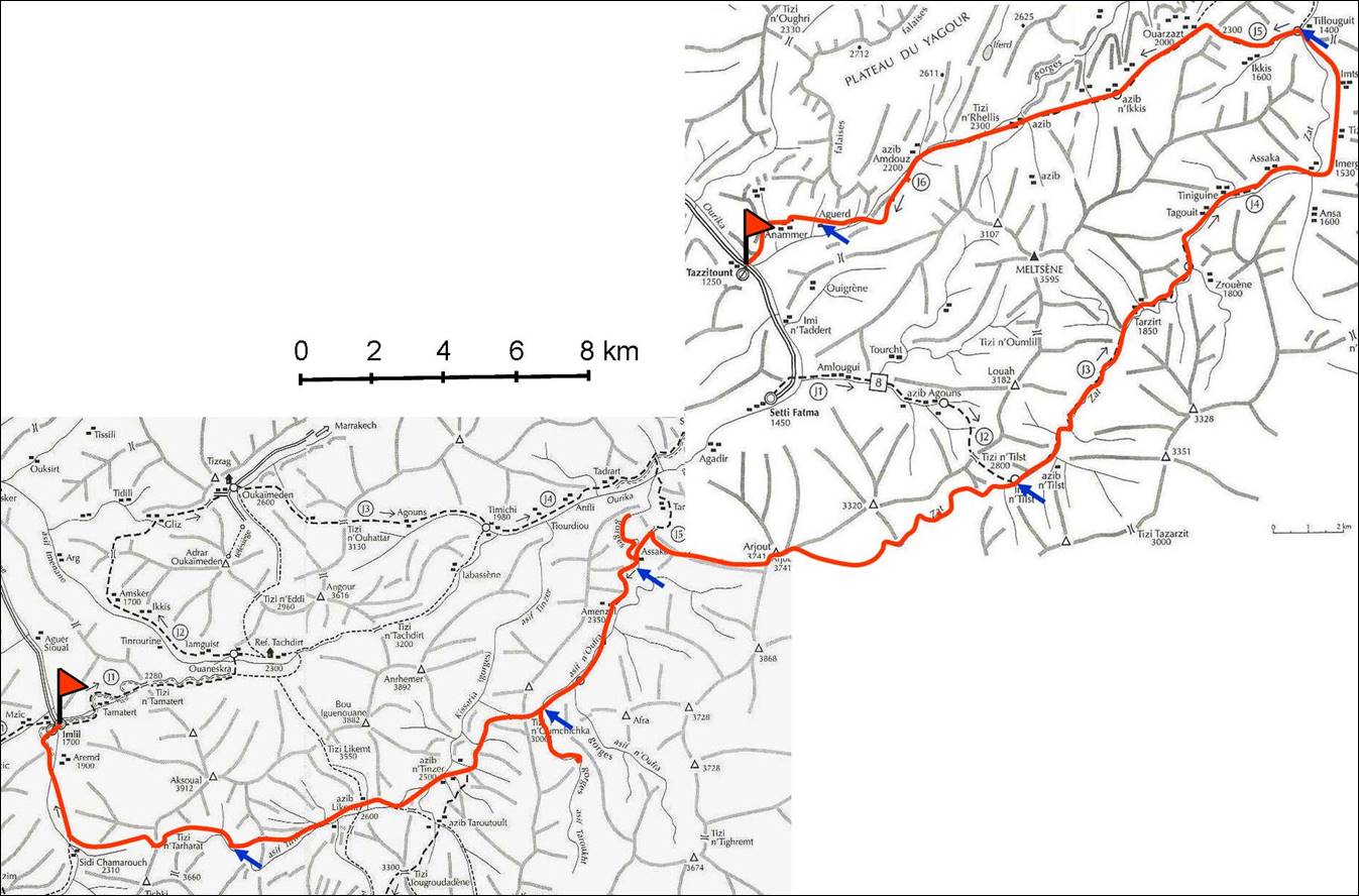
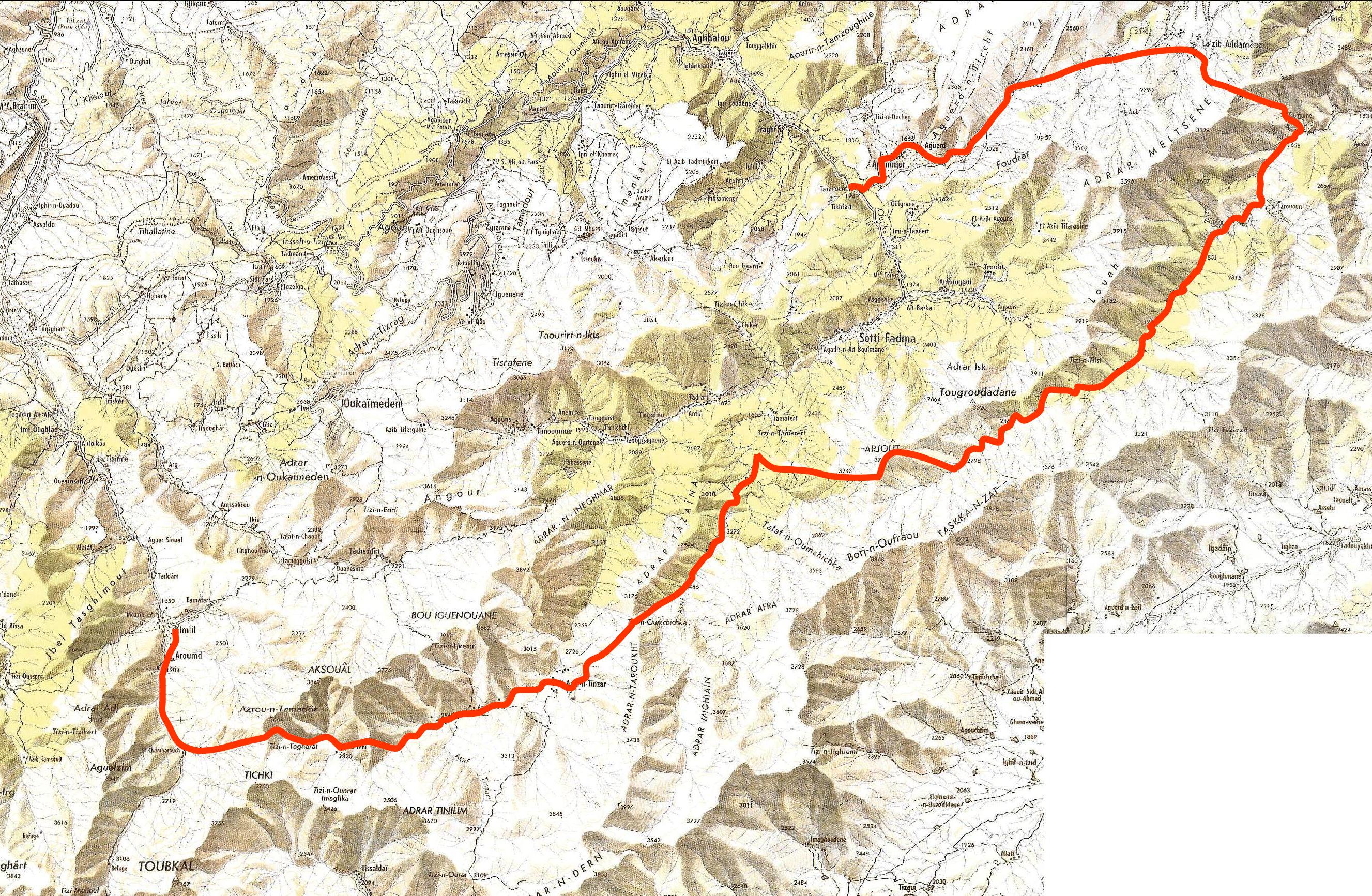
The
itinerary is shown below (red line). Click here
for a high-resolution topographic map of the area.
Notes:
This map is extracted from Montagnes du Maroc,
by Herve Galley, Editions Olizane, Geneve, Suisse,
2004. ISBN 2-88086-302-3 (in French). This excellent book describes several
treks and ski trips in
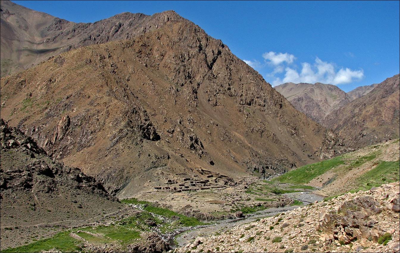
June 18: Imlil (1700m) to Azib Tifni
(2820m), through Tizi n-Tarharat (3460m)
I left Marrakech around 6:30am and start
hiking from Imlil at 9am. It was raining in
Marrakech, and it continued raining most of day in the mountain. The weather
was cool (but not cold), making the ascent of Tizi n-Tarharat
easier than I had expected, despite the 1800m gain in elevation.
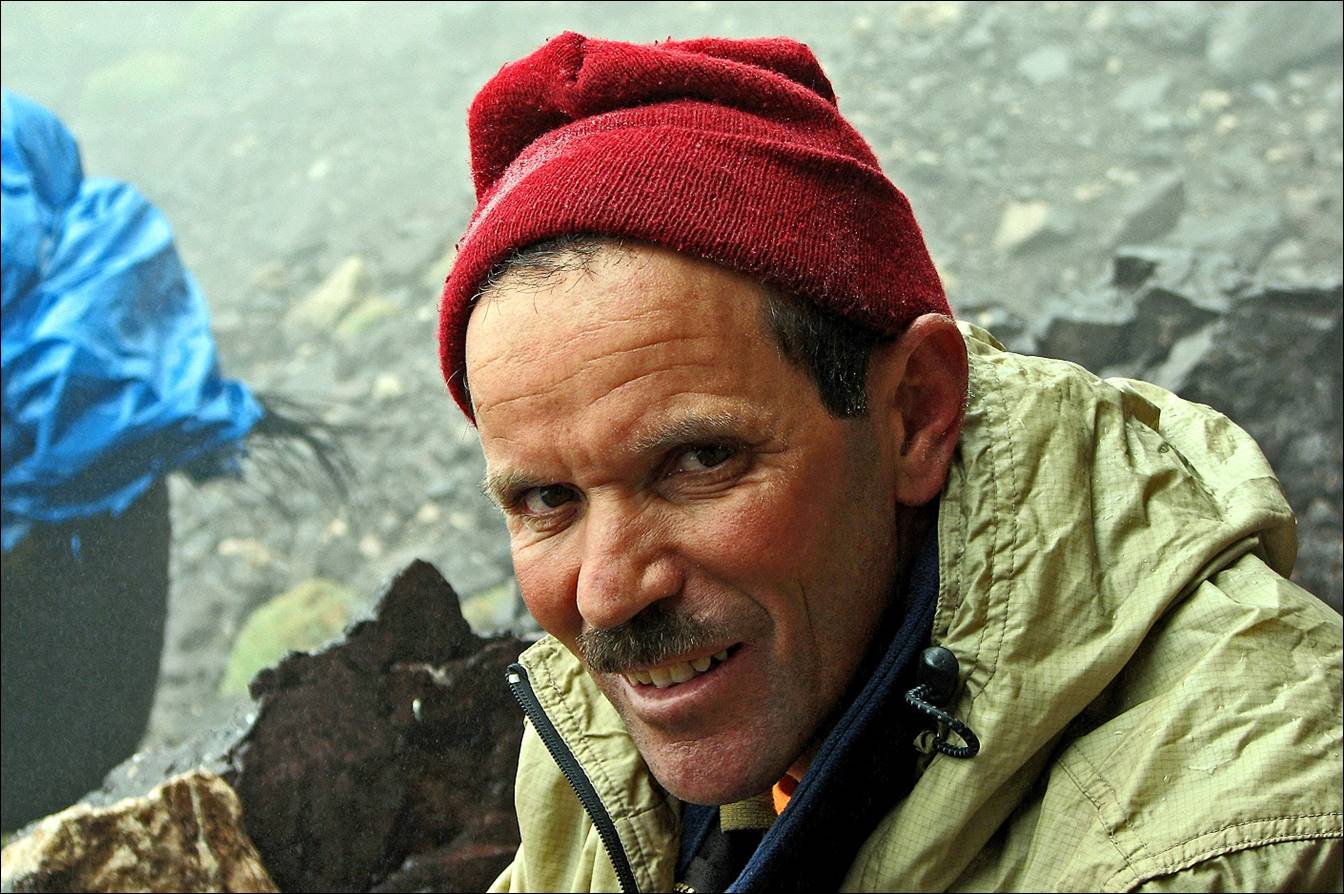
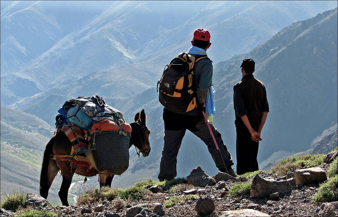
My Berber guide,
Brahim Ait El Kadi...
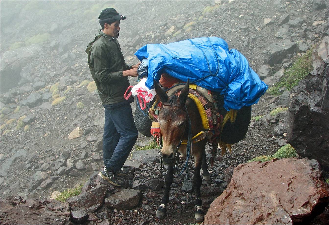
...the muleteer, and his mule.
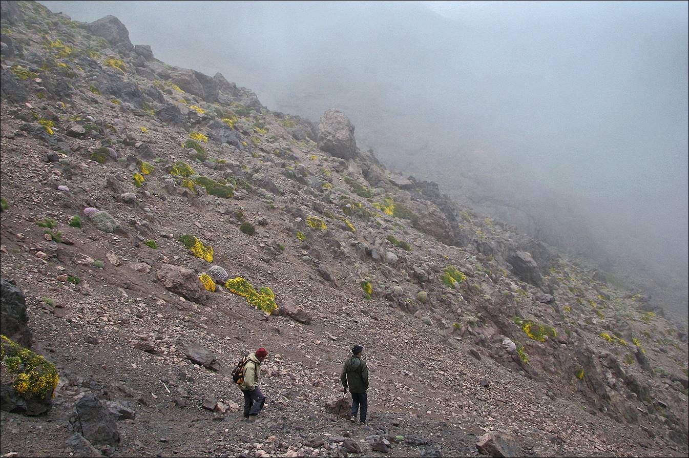
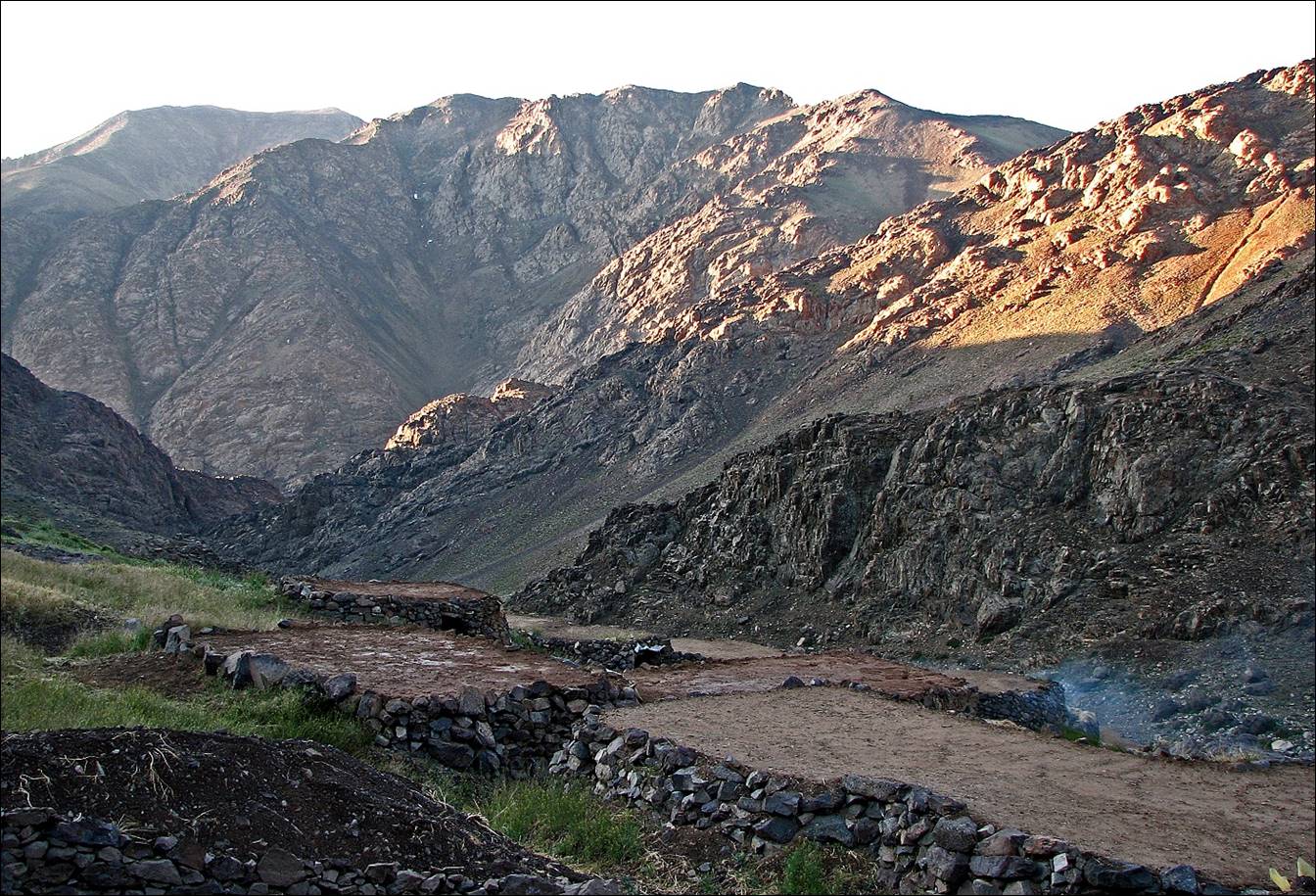
Descent from Tizi n-Tarharat
toward Azib Tifni.
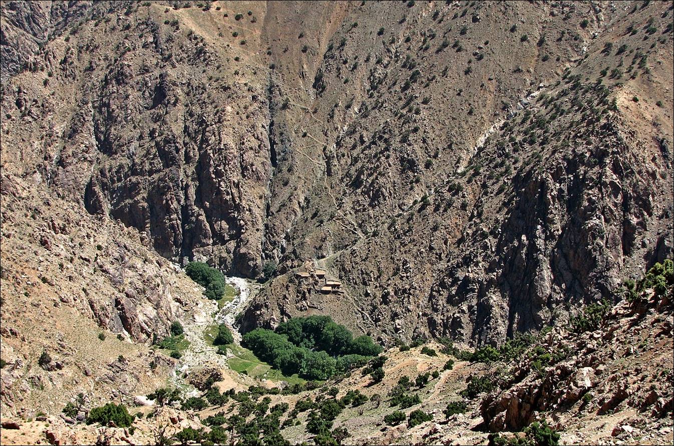
June 19: Azib Tifni (2820) to Asif Taroukht
(2600m), along Asif Tifni and through Tizi n-Oumchichka
(3000m)
This was an easy day, sunny in the morning,
but cloudy again in the afternoon.
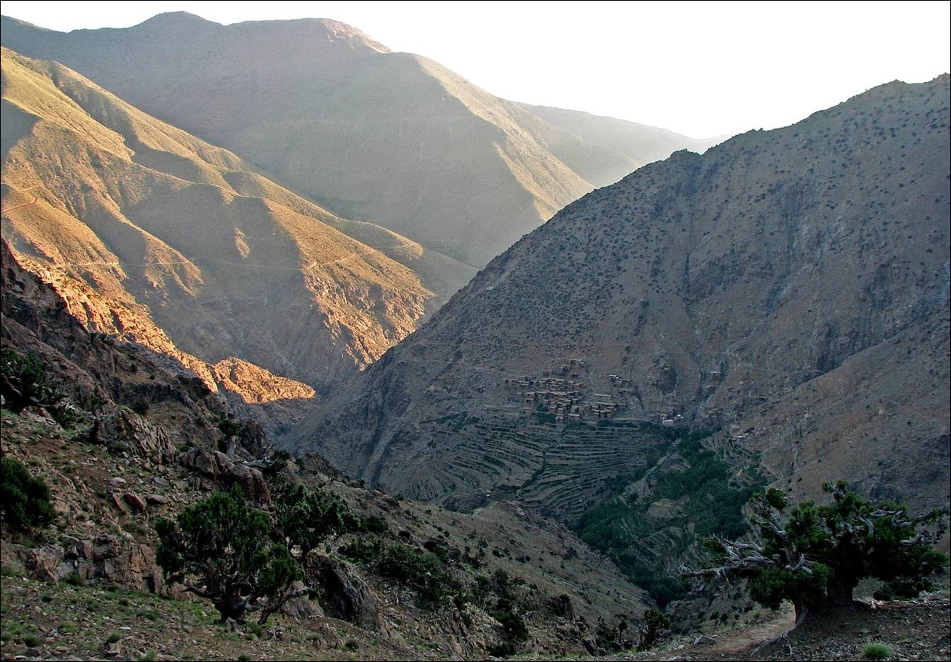
Sunrise over the mountains above Azib
Tifni.
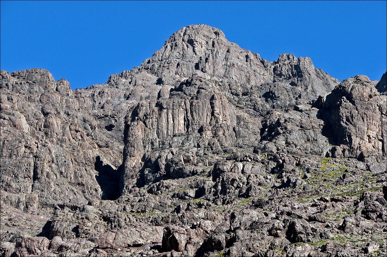
Rock cliffs above Azib Tifni (toward Djebel
Aksoual). This looks like a good rock-climbing area.
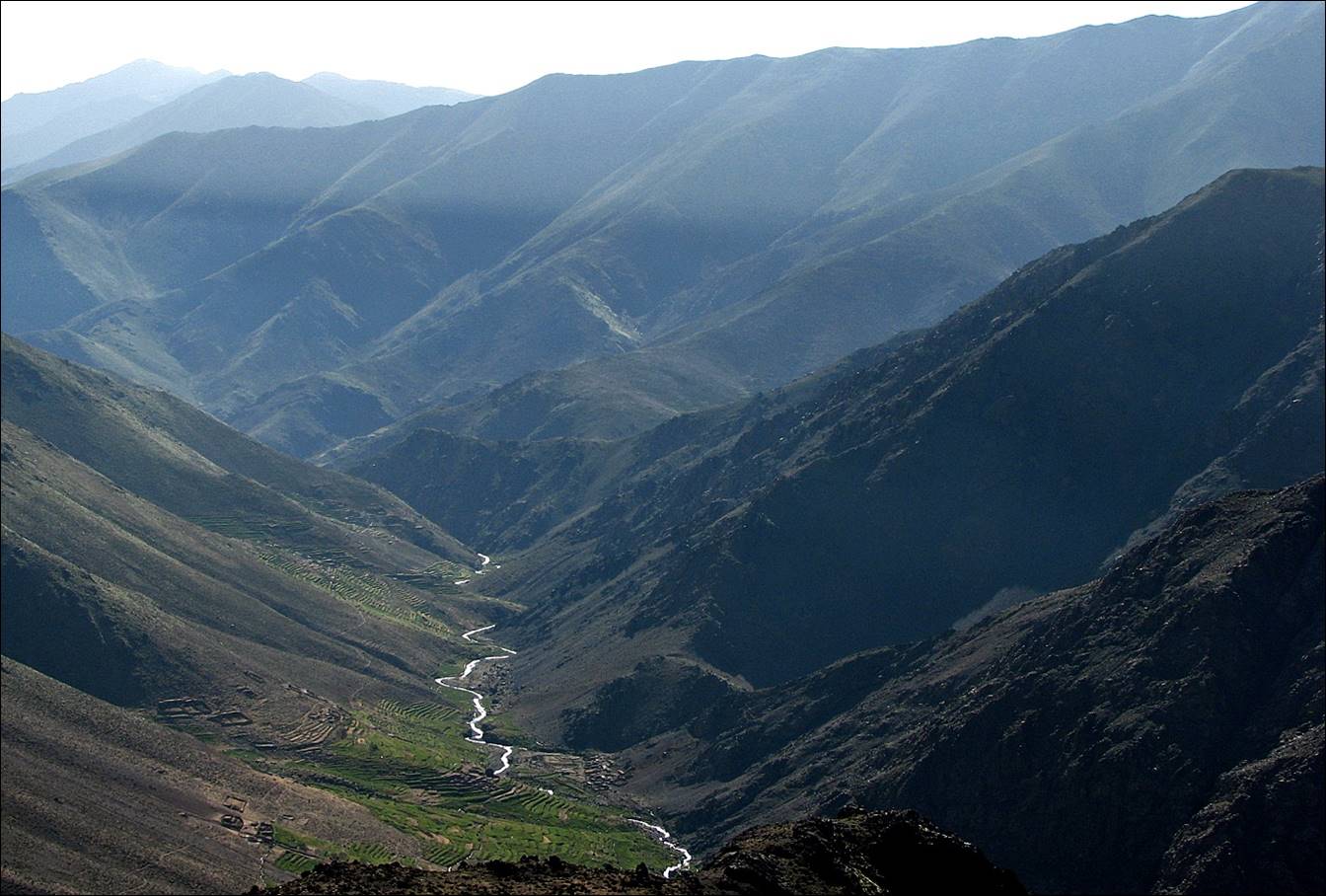
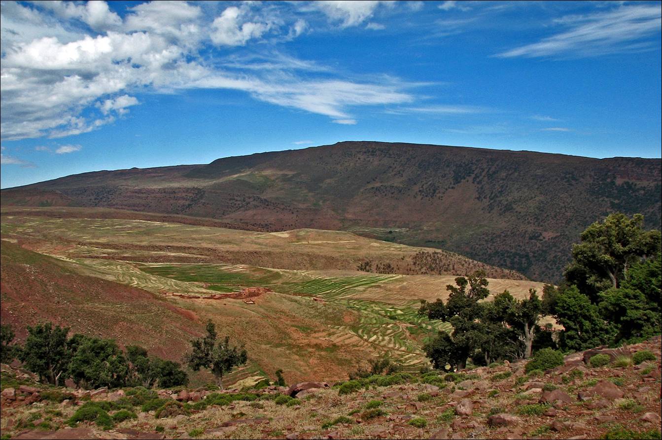
Looking east to the Asif Tifni valley from
the small pass above Azib Tifni.
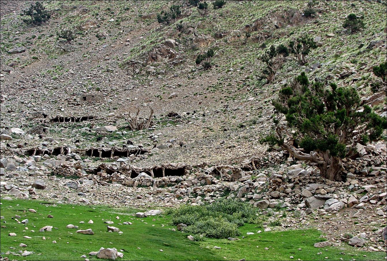
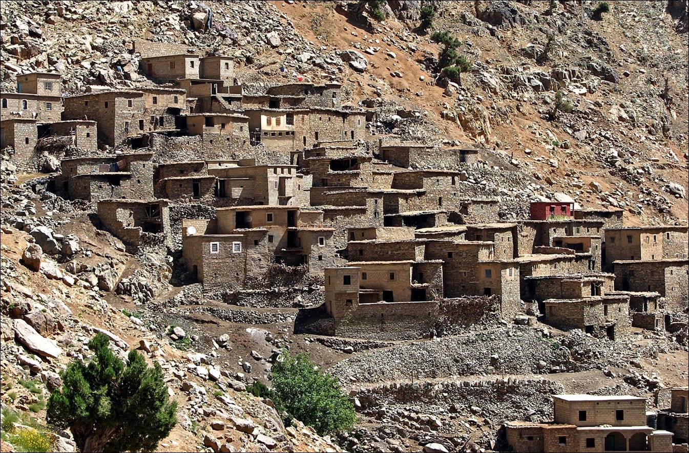
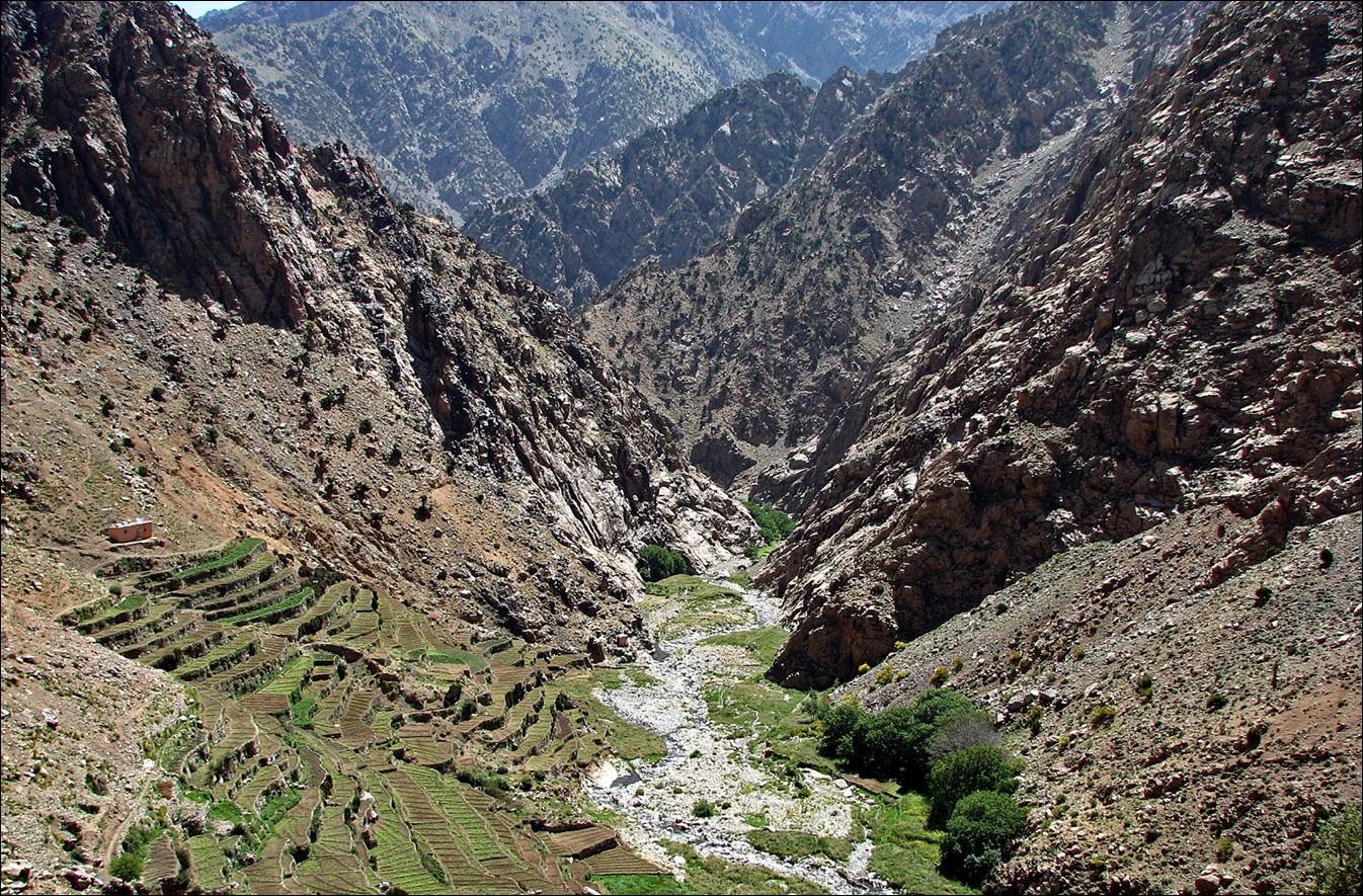
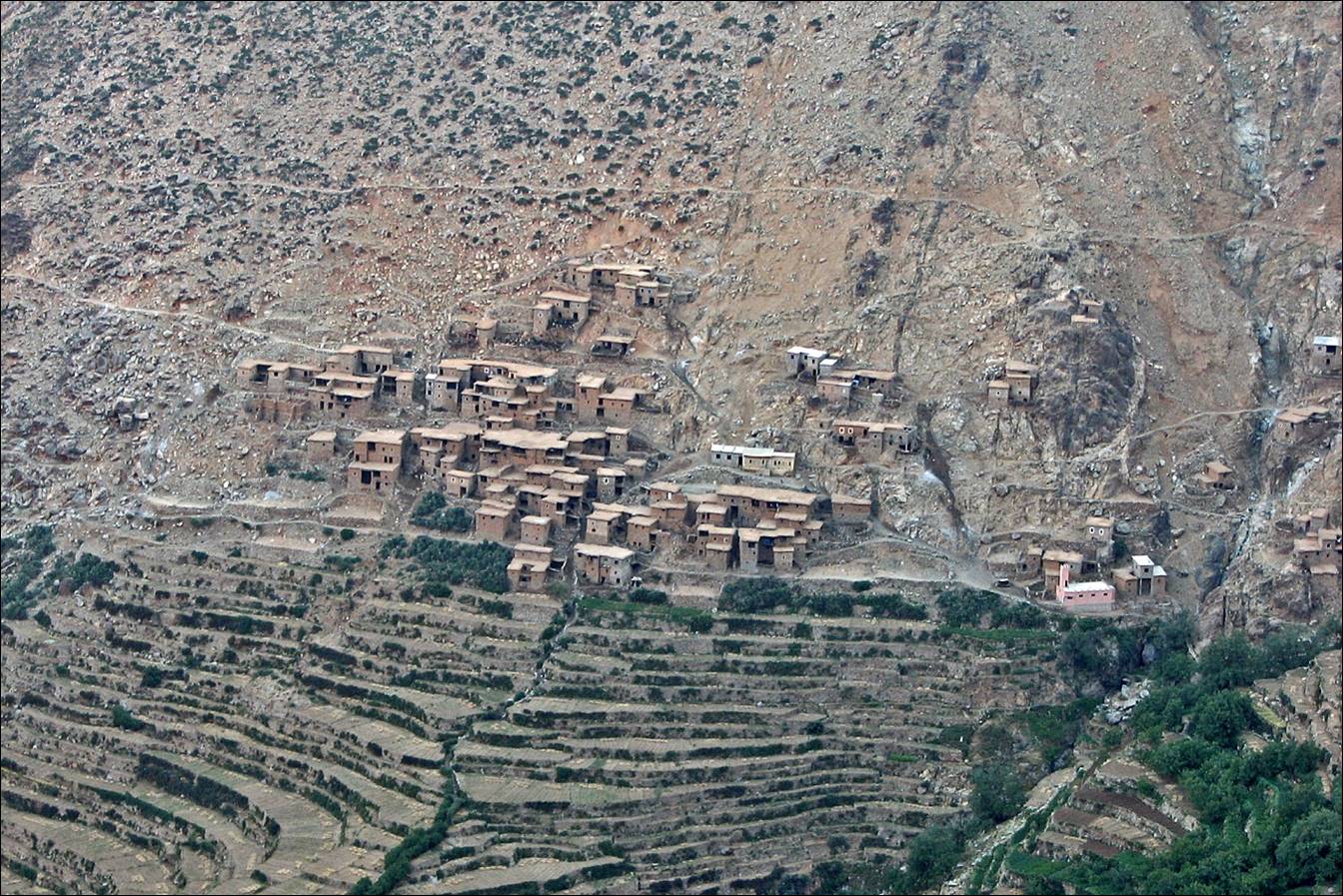
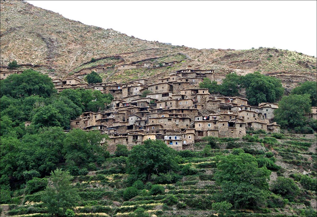
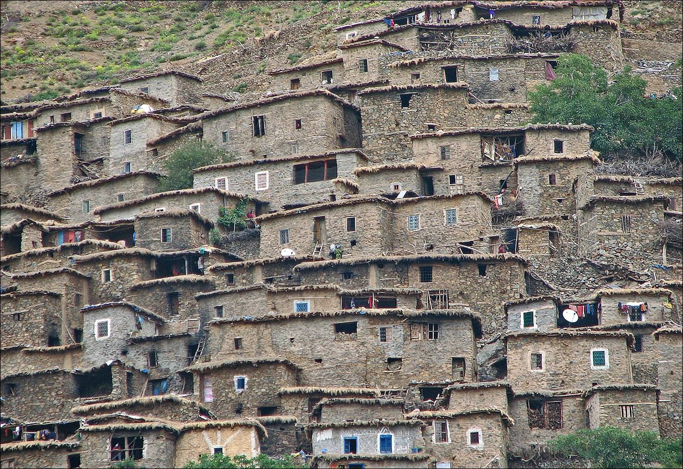
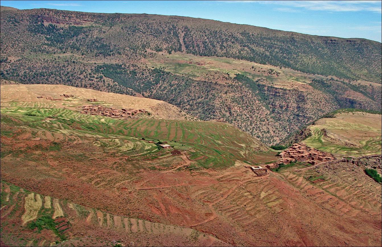
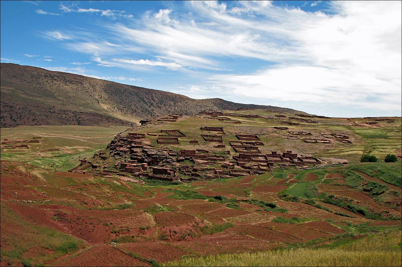
Large azibs
before reaching Azib Likemt.
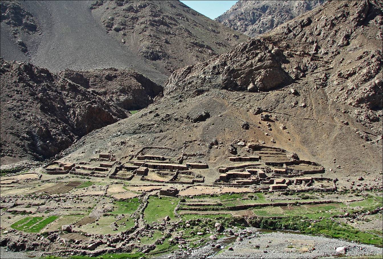
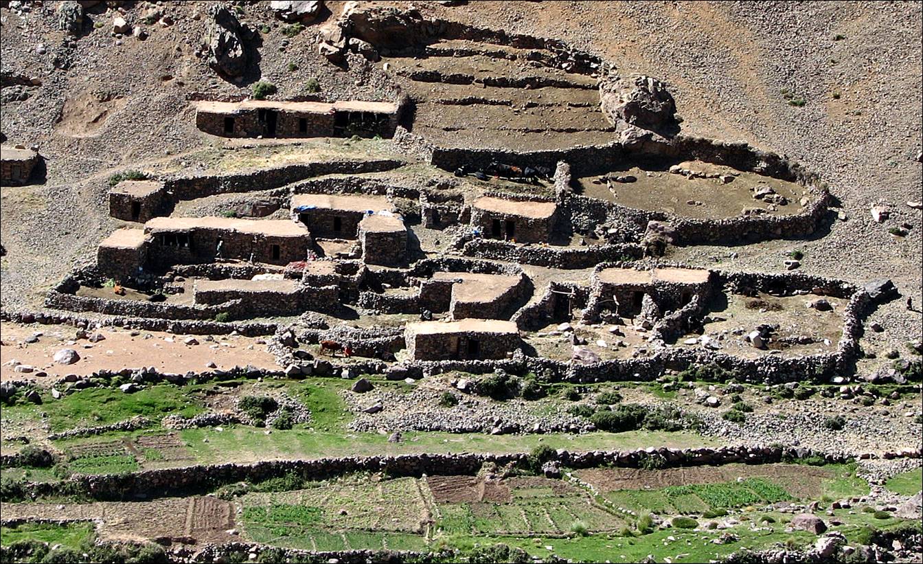
Another view of the same azibs.
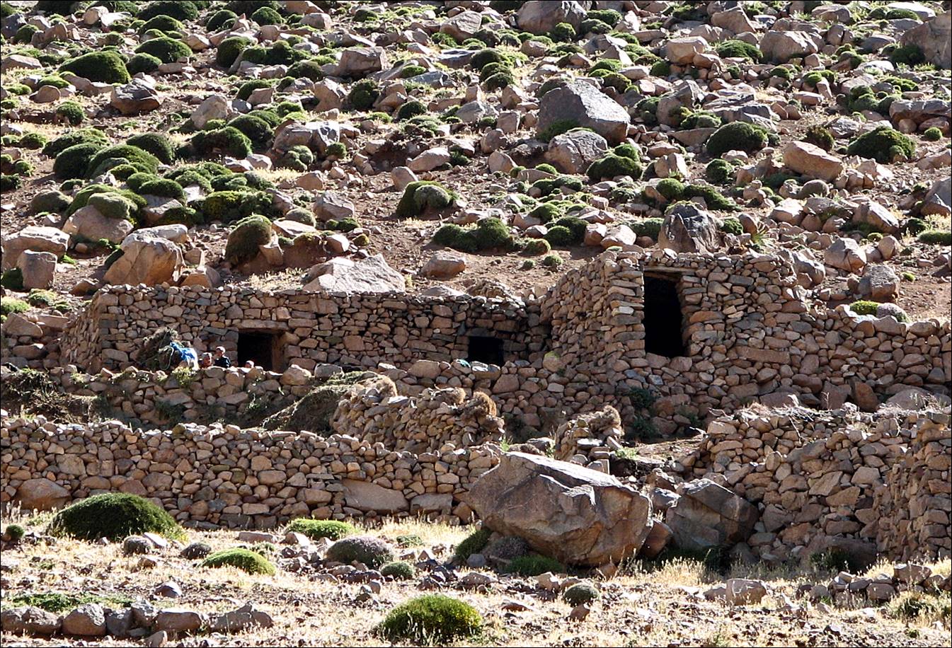
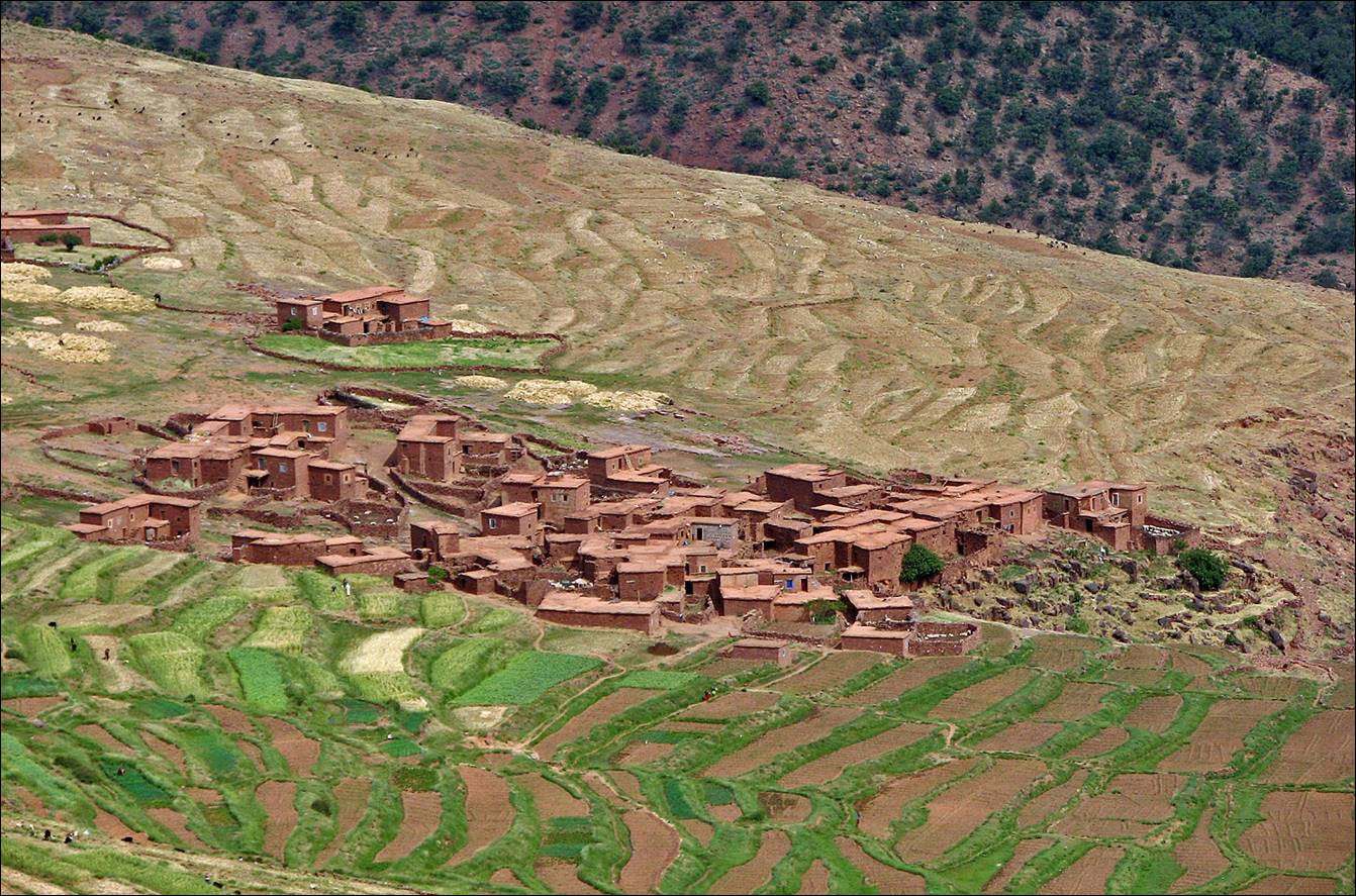
Fields at Azib Likemt.
View toward Jebel Toubkal from the Asif
Tifni valley.
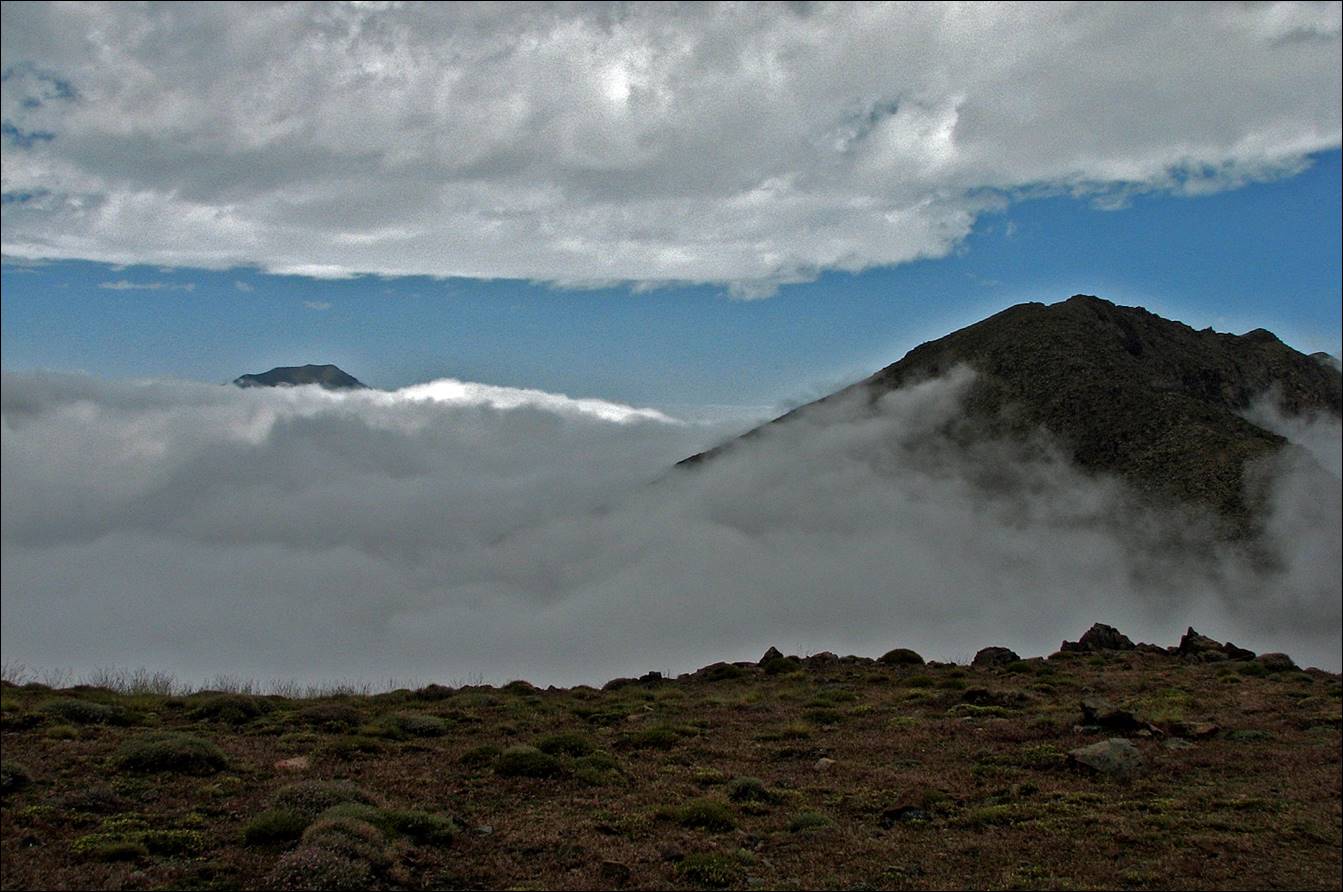
Between two
layers of clouds at Tizi n-Oumchichka.
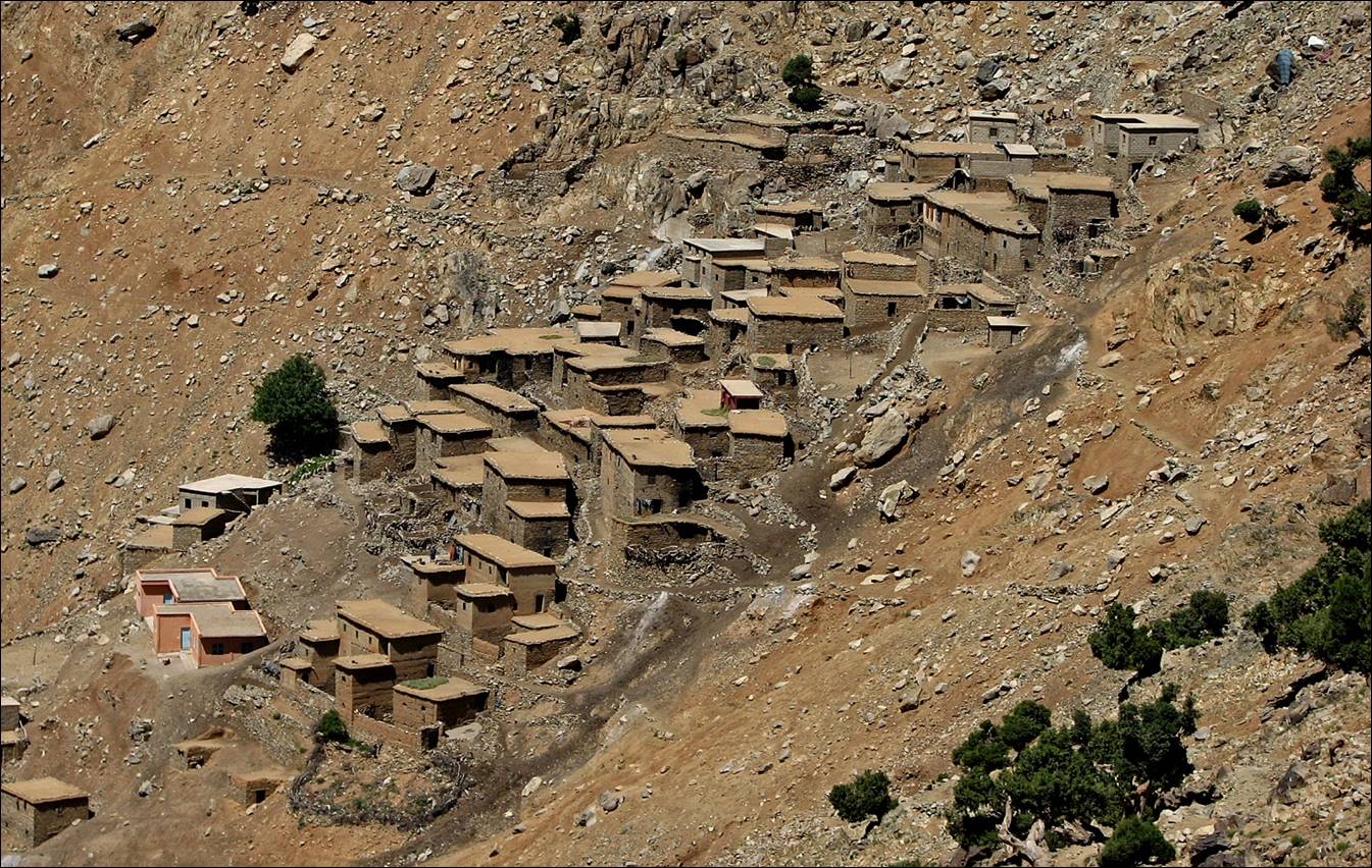
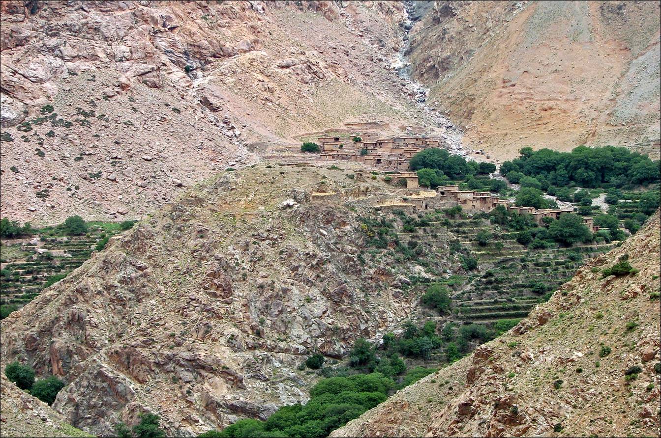
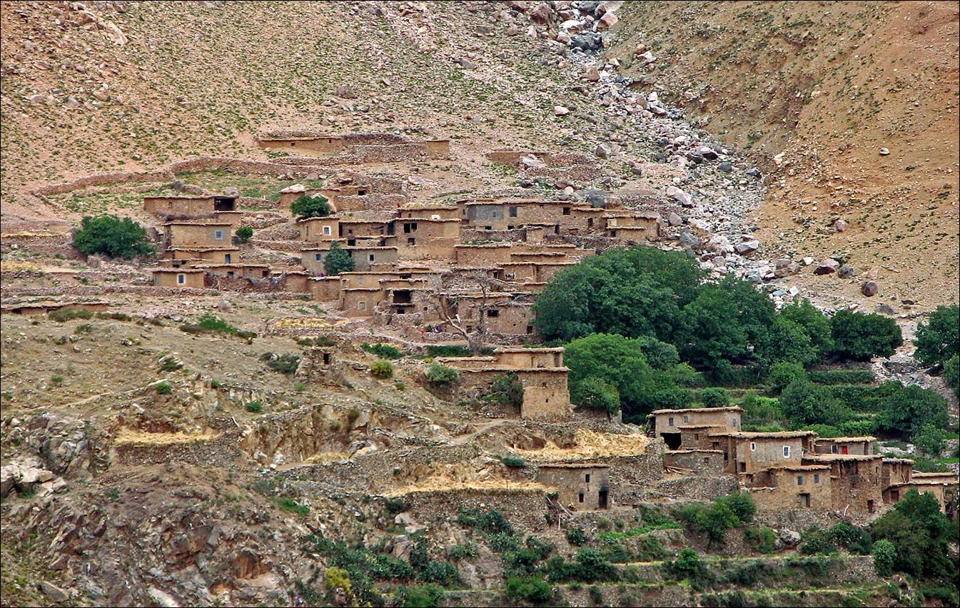
The first azib below Tizi n-Oumchichka near
Asif Taroukht.
June 20: Along Asif Taroukht and
Asif n-Oufra to Azib Assaka
(2000m), through the village of Amenzel (2350m)
This was a sunny day. As it was a
relatively short hike to reach Azib Assaka, I started
the day by hiking upward along Asif Taroukht, before
turning back. Later in the afternoon, from Azib Assaka,
I went down the gorge of Asif n-Oufra toward the
village of Tamatert.
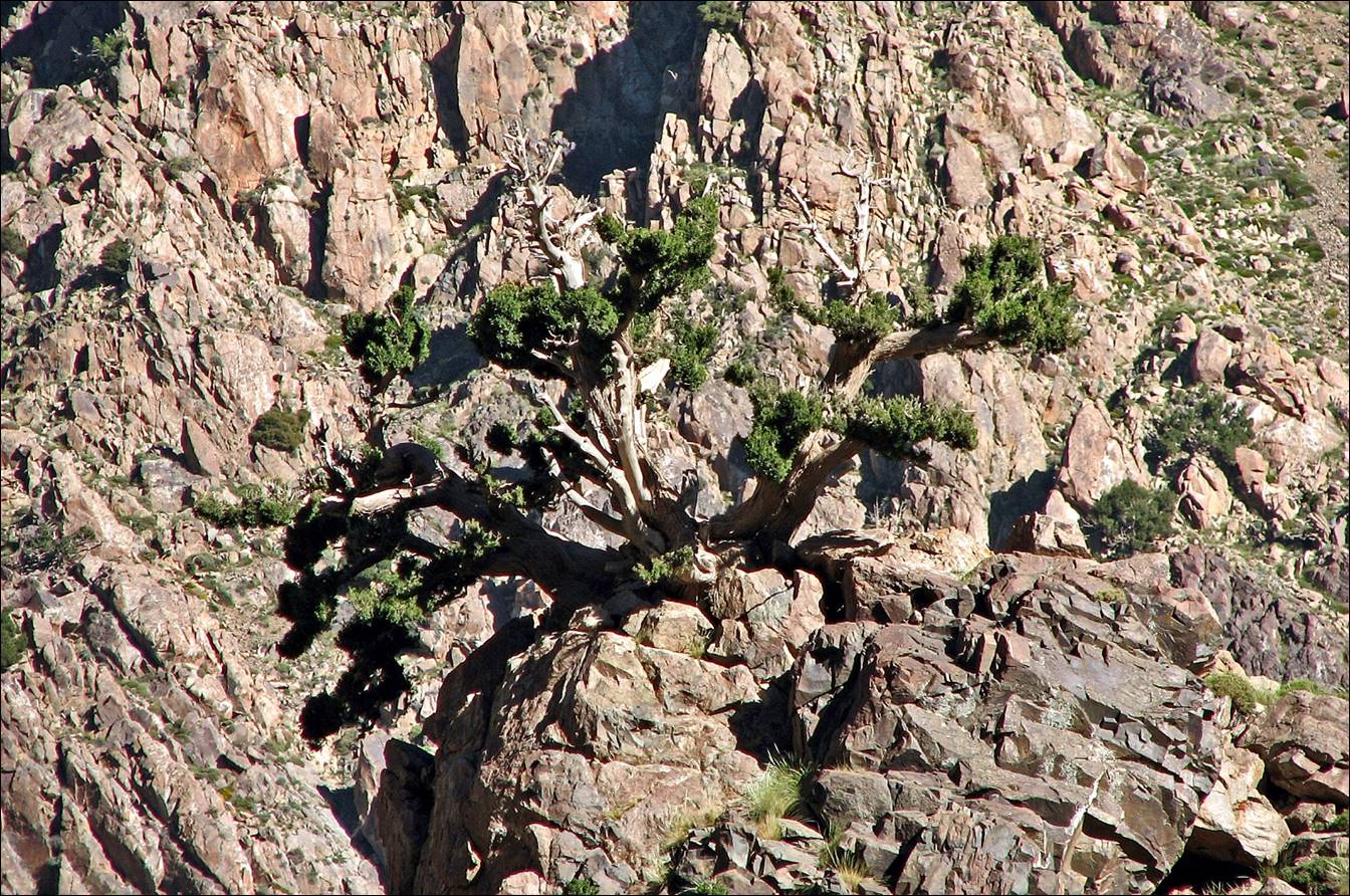
Juniperus on the rocks.
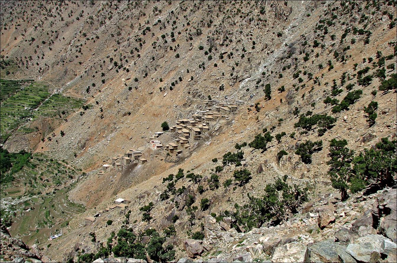
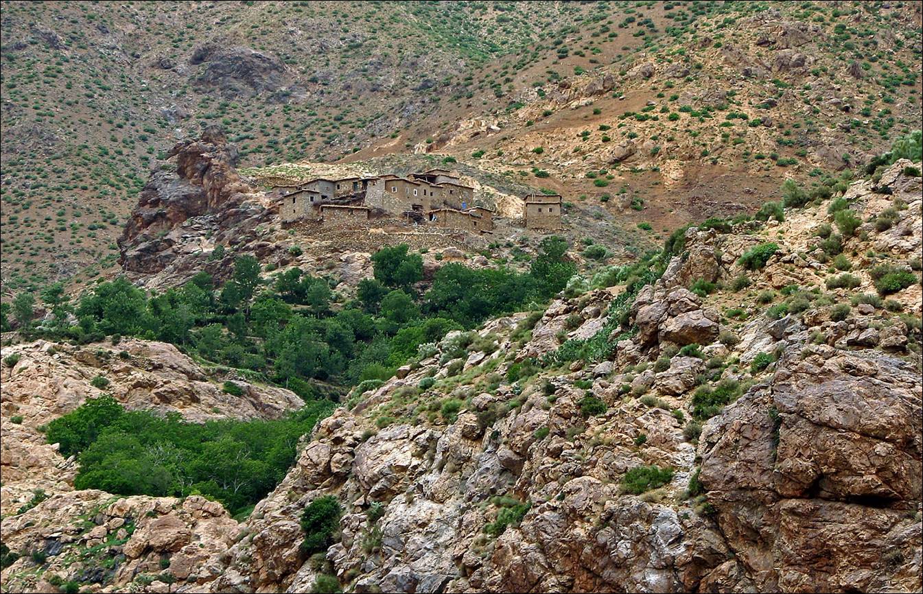
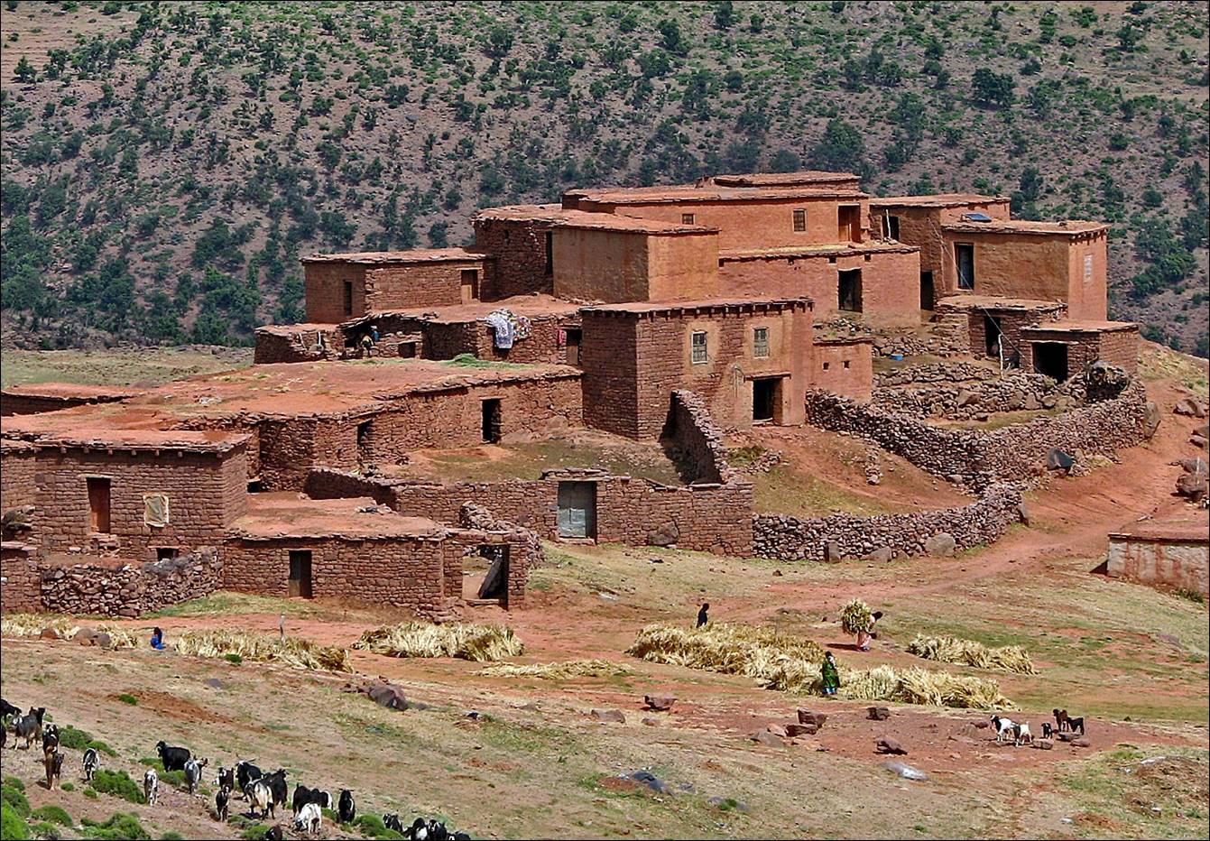
The village of Amenzel
(it does not seem well protected against rock falls).
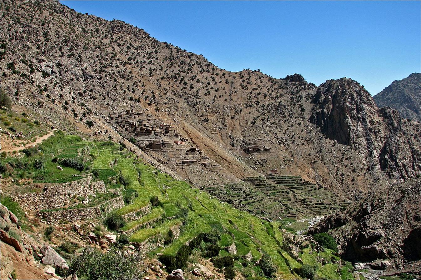
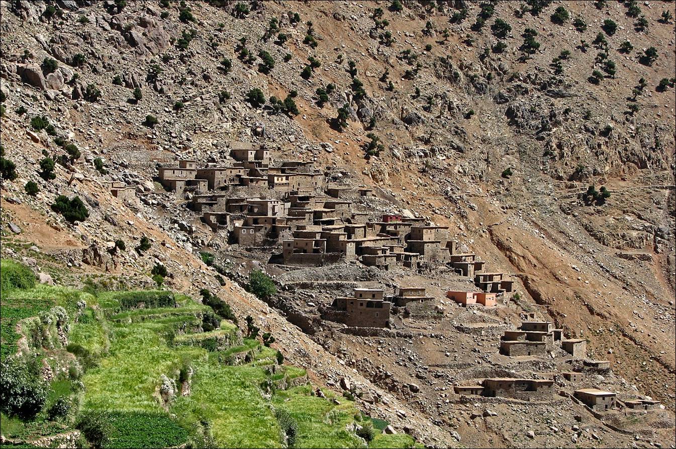
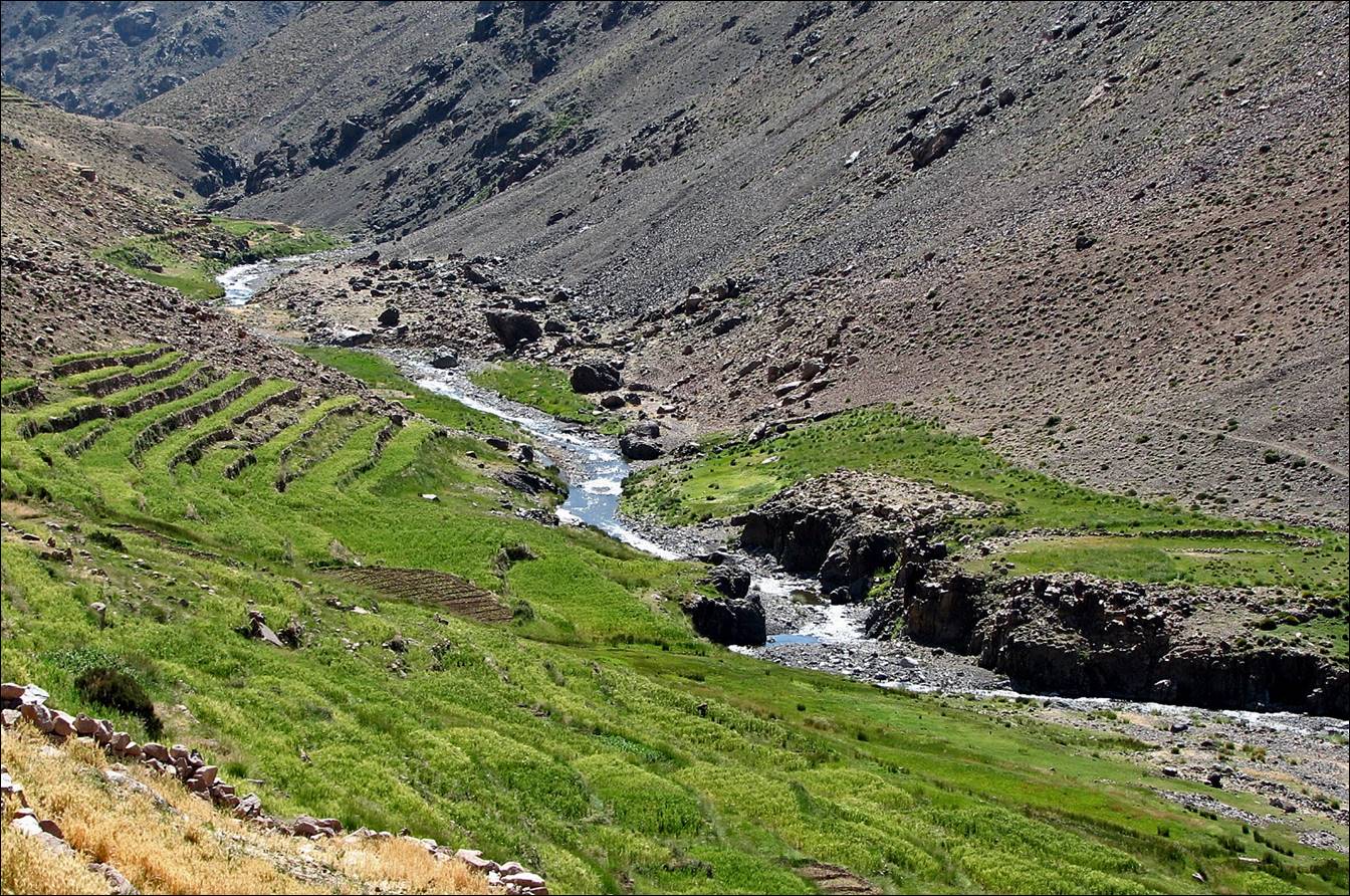
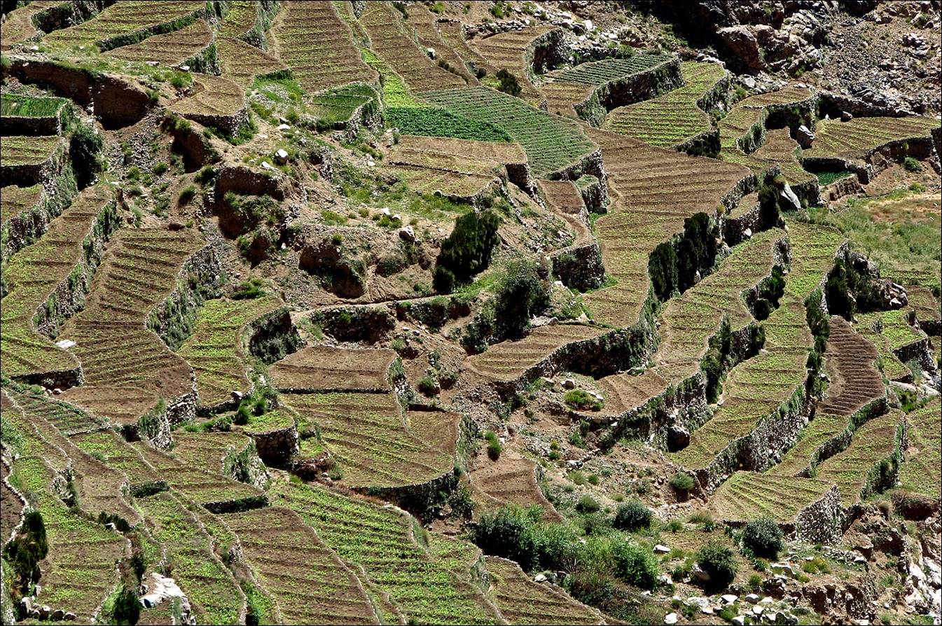
Cultivated terraces below Amenzel.
View over the gorge of Asif n-Oufra below Amenzel.
At the pass between Amenzel
and Azib Assaka, with the Yagour
plateau in the background.
Summit of mount Arjout
(3741m) in the background on the left, which we will climb on the next day,
seen from the pass.
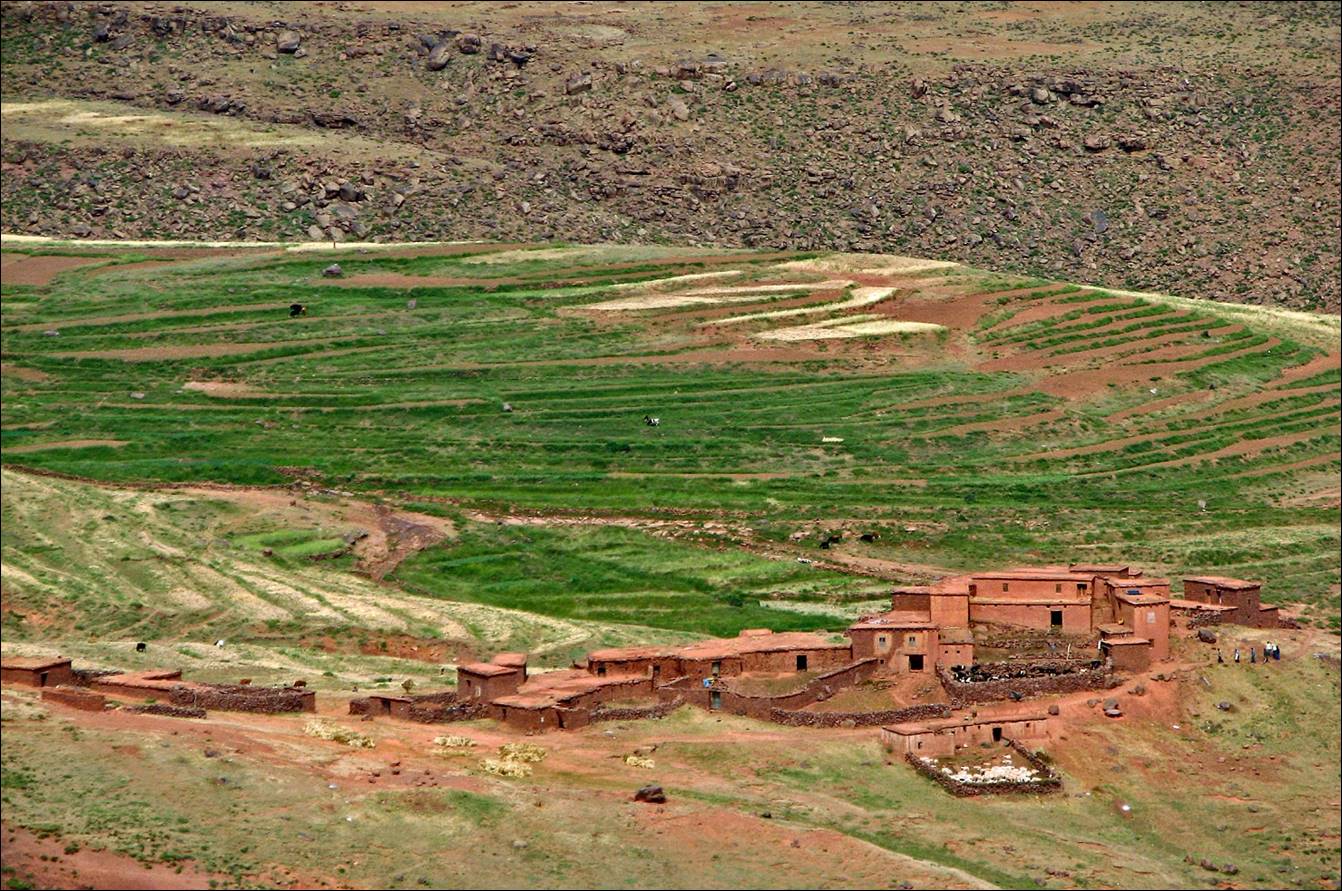
Looking down at Azib Assaka
during the descent from the pass.
Asif n-Oufra near
Azib Assaka.
|
|
|

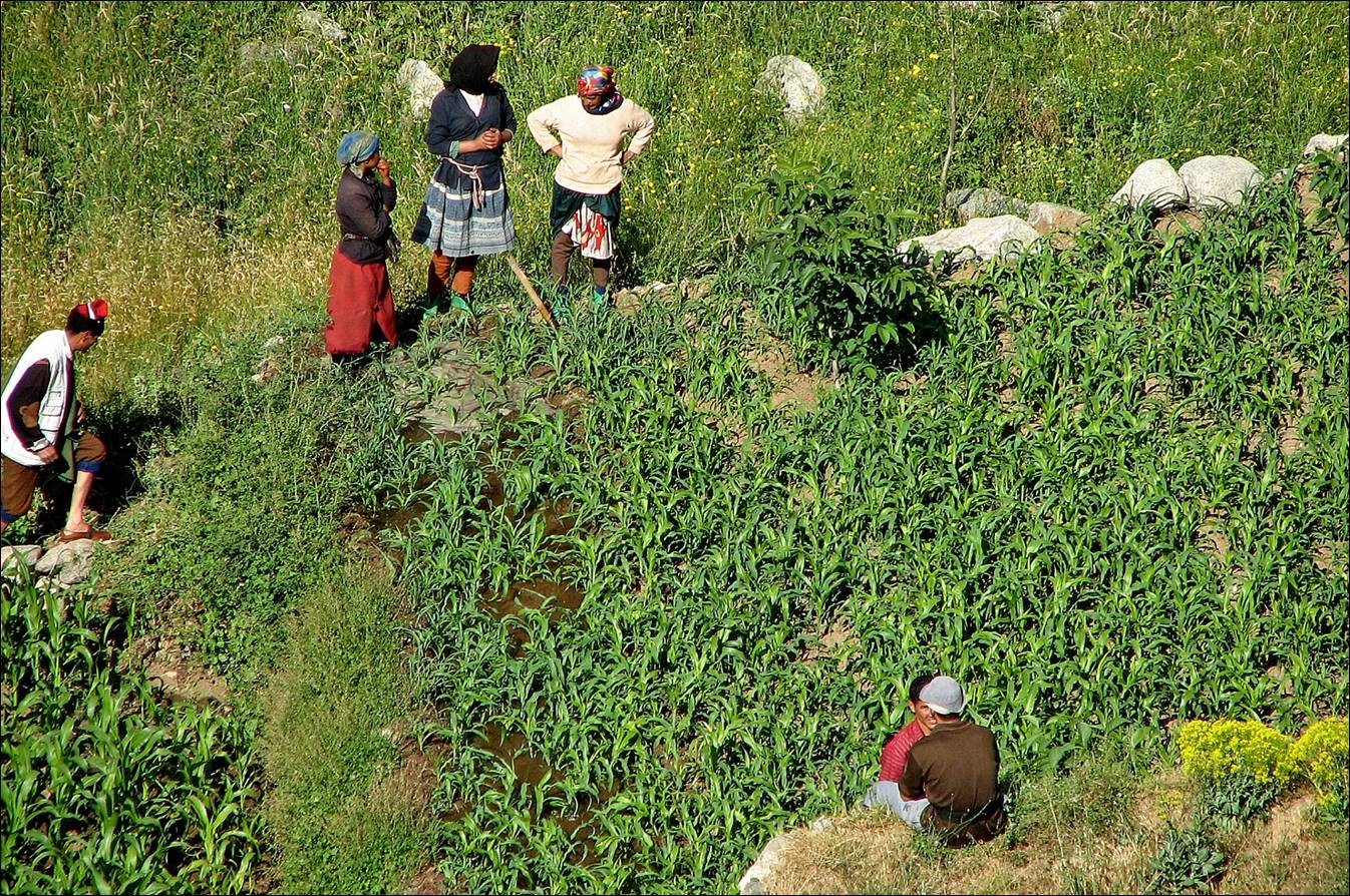
In the fields of Azib Assaka.
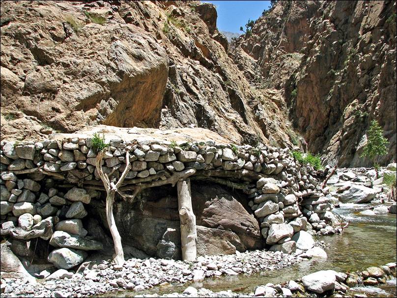
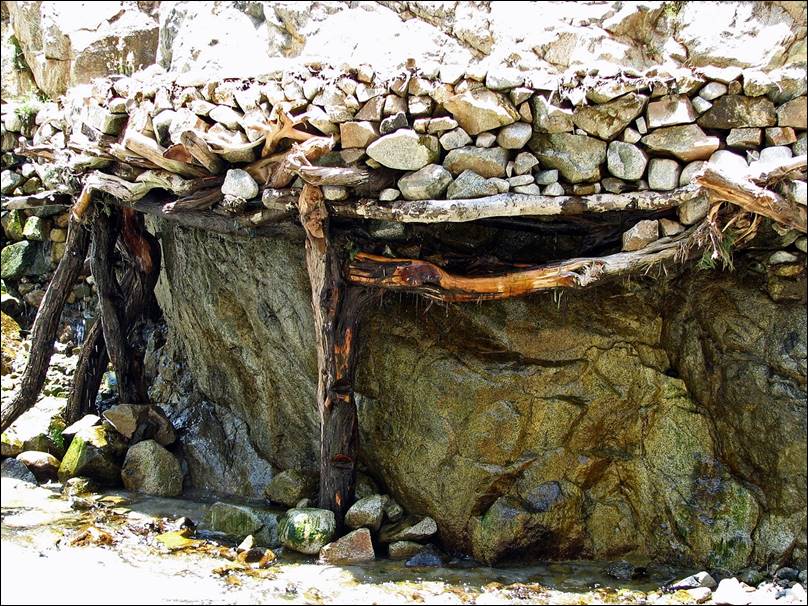
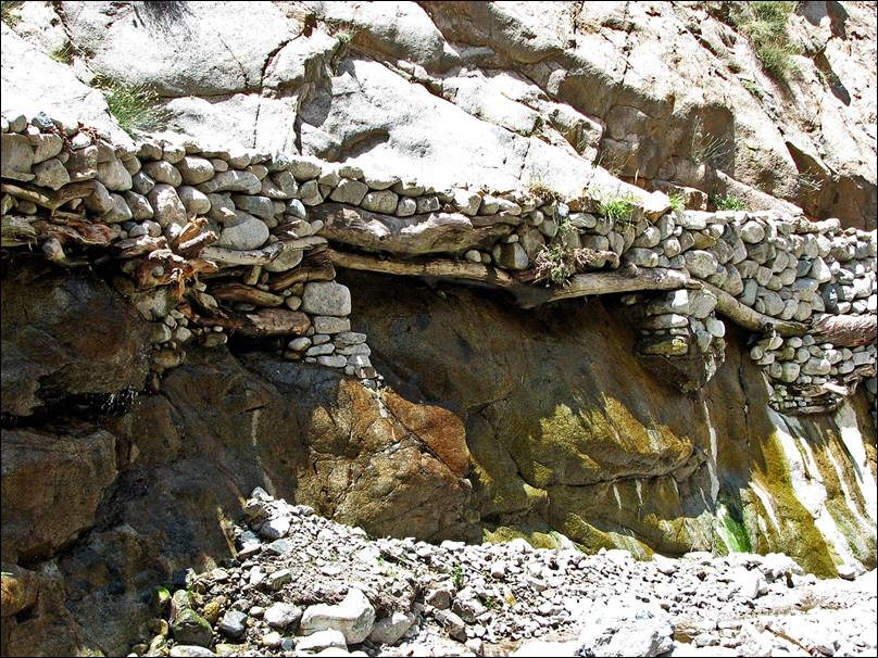
Some amazing water canals along Asif n-Oufra below Azib Assaka.
|
|
|
|
|
|

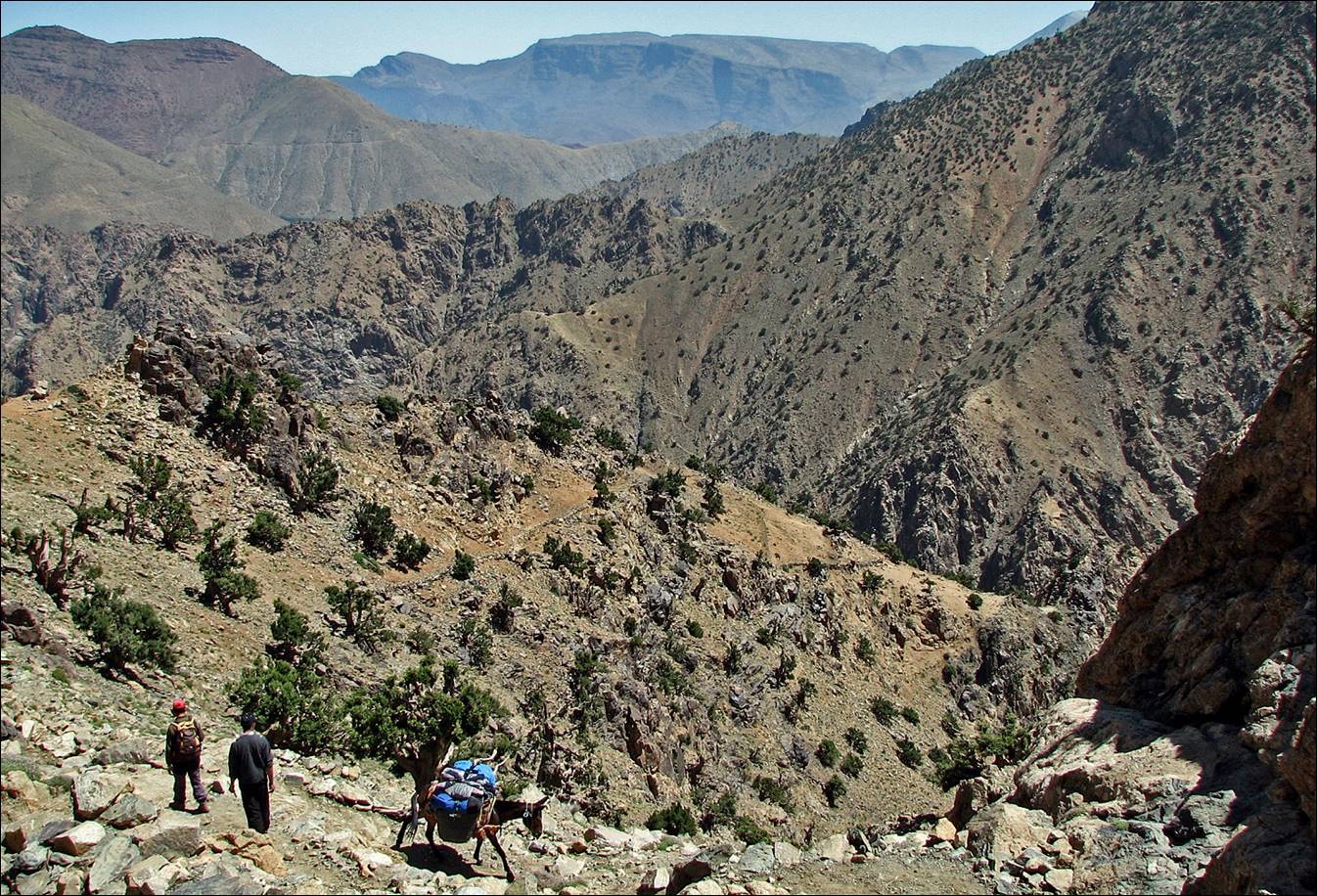
June 21: From Azib Assaka
(2000m) to Imi n-Tilst (2200m),
through the Aguerskaoun ridge, mount Arjout (3741m), and the high gorges of Asif Zat
This
was the hardest day. From Tizi-n-Tamatert, we climbed
along the long (but easy) Agerskaoun ridge to reach
the summit of Arjout. Then we hiked down into the
narrow gorges of Asif Zat. Some short passages in the
gorges were quite steep and somewhat exposed. On that day the muleteer and his
mule took another path via the village of Setti Fatma and Tizi-n-Tilst.
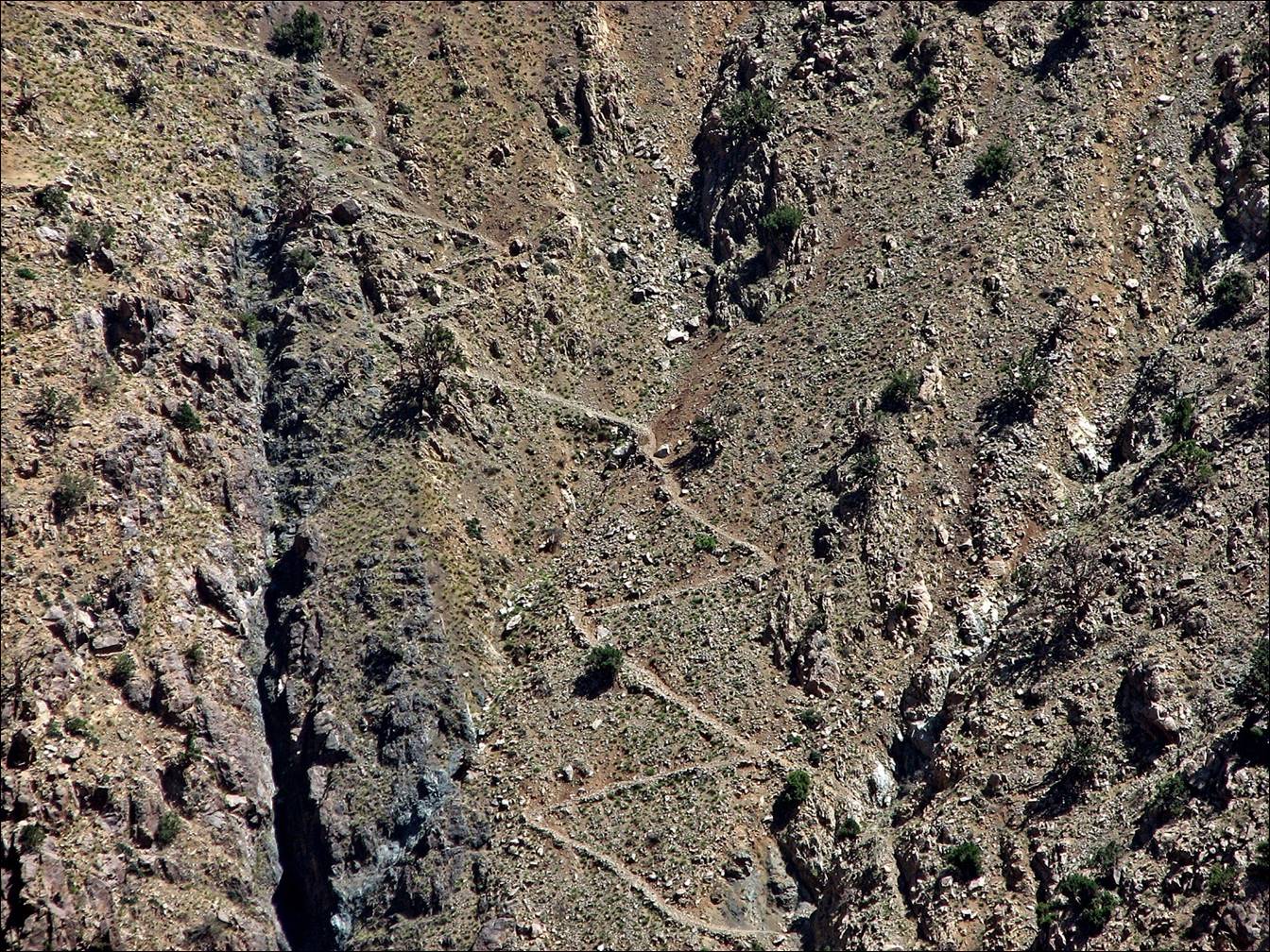
The trail above
Azib Assaka (this picture was actually shot the day
before) from the other side of the canyon.
Morning view of
the village of Tamatert still in the shade, from the Agerskaoun ridge.
Looking north
while climbing along the Agerskaoun ridge.
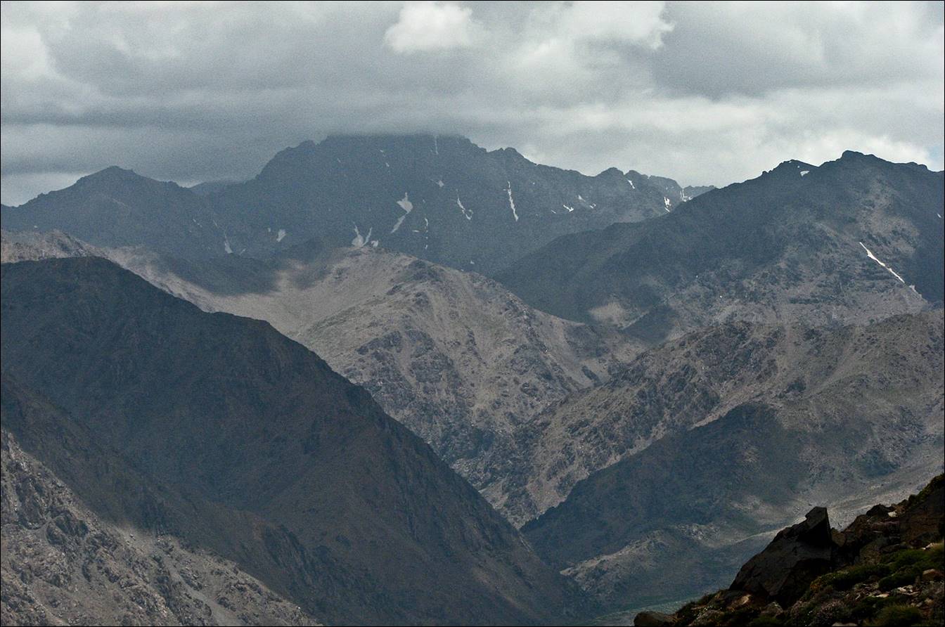
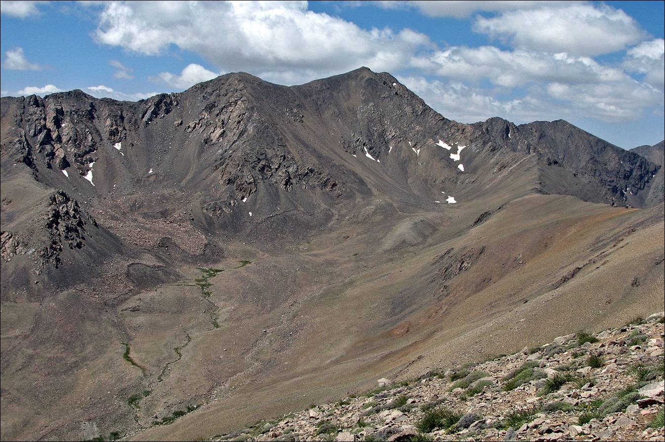
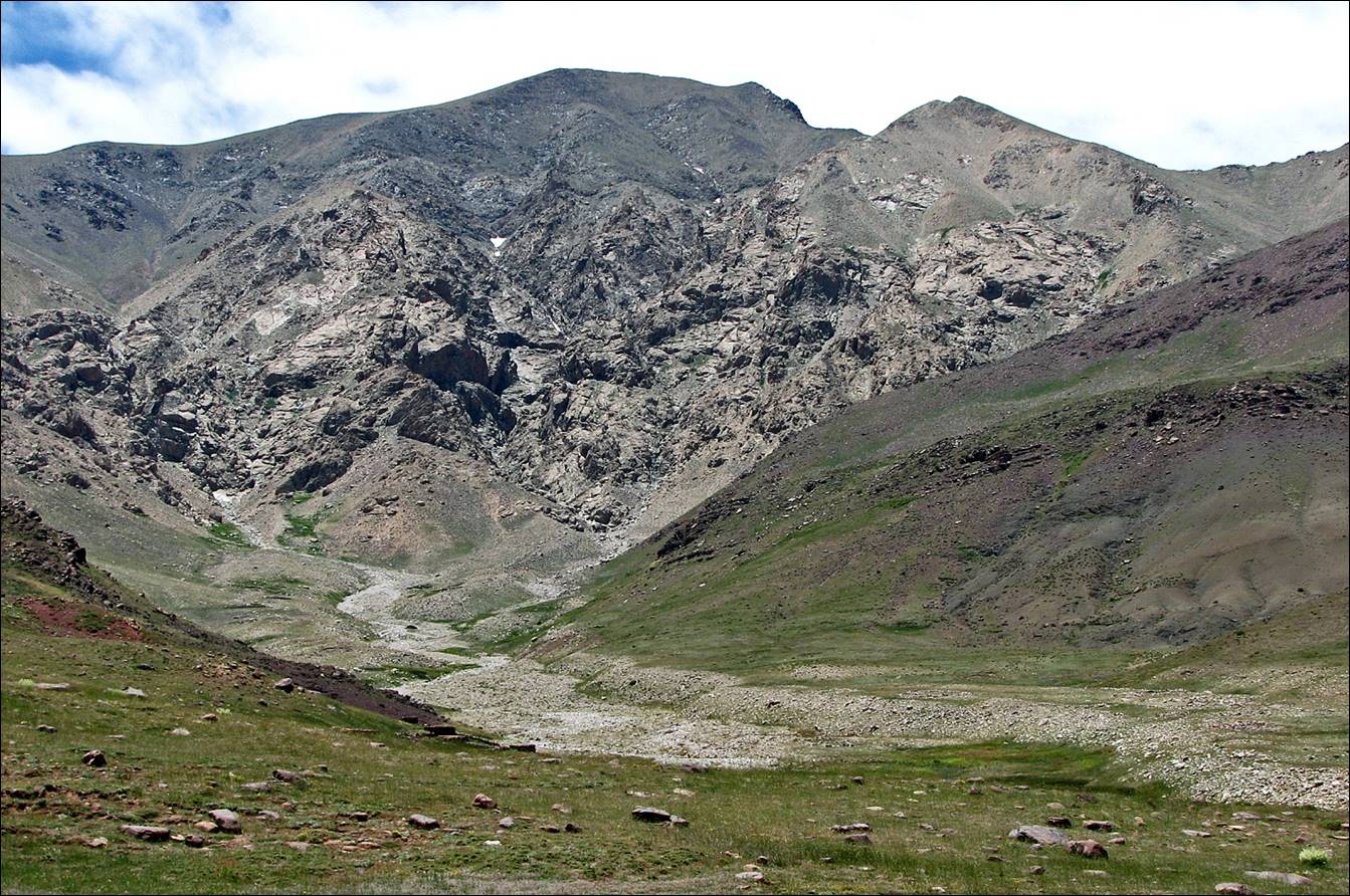
View toward the
east from the summit of mount Arjout (3741m).
The source of
Asif Zat, just slightly north of Arjout.
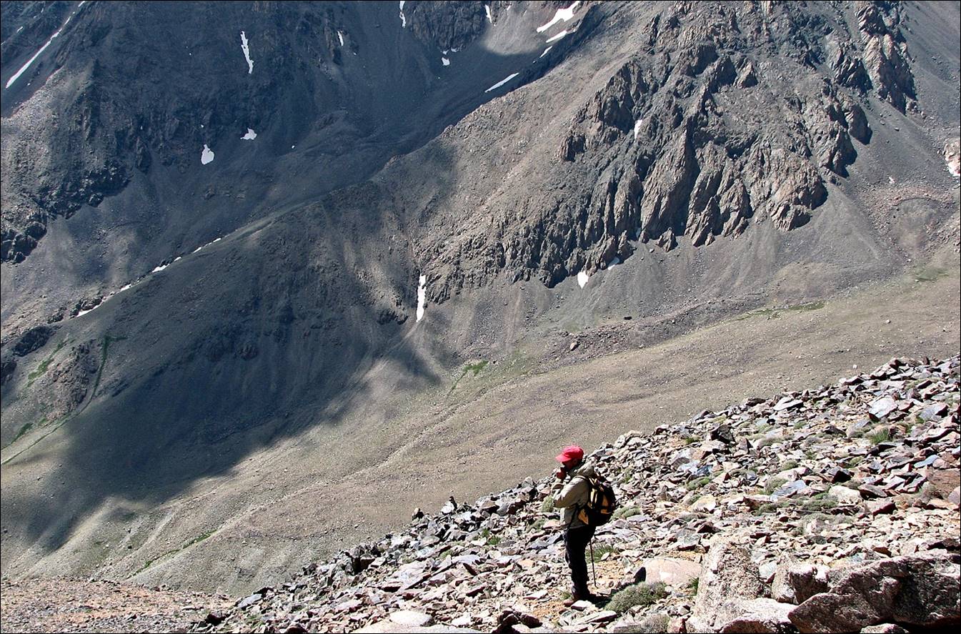
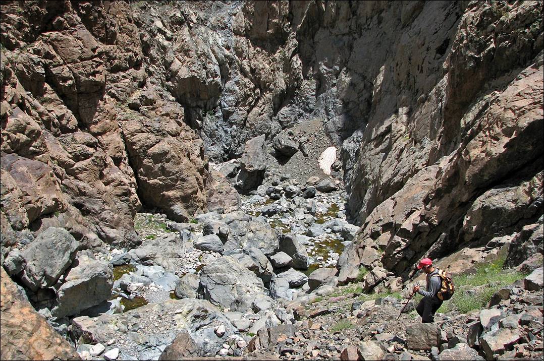
Descending from
mount Arjout into the gorges of Asif Zat.
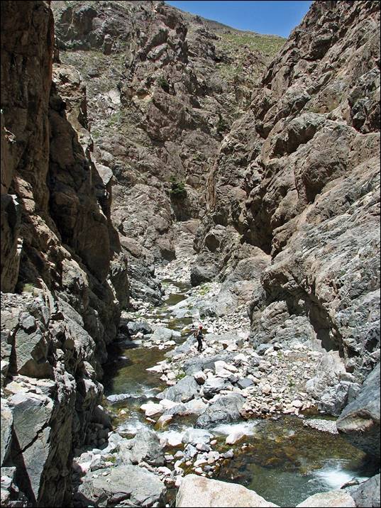
In the high
gorges of Asif Zat.
|
|
|
June 22: From Imi n-Tilst (2200m) to Tillouguit
(1400m) along Asif Zat
This
was another cloudy day. It was a fairly long hike, but an easy one. We passed
by several villages.
Village
of Tarzirt.
Village
of Zrouene.
Another village.
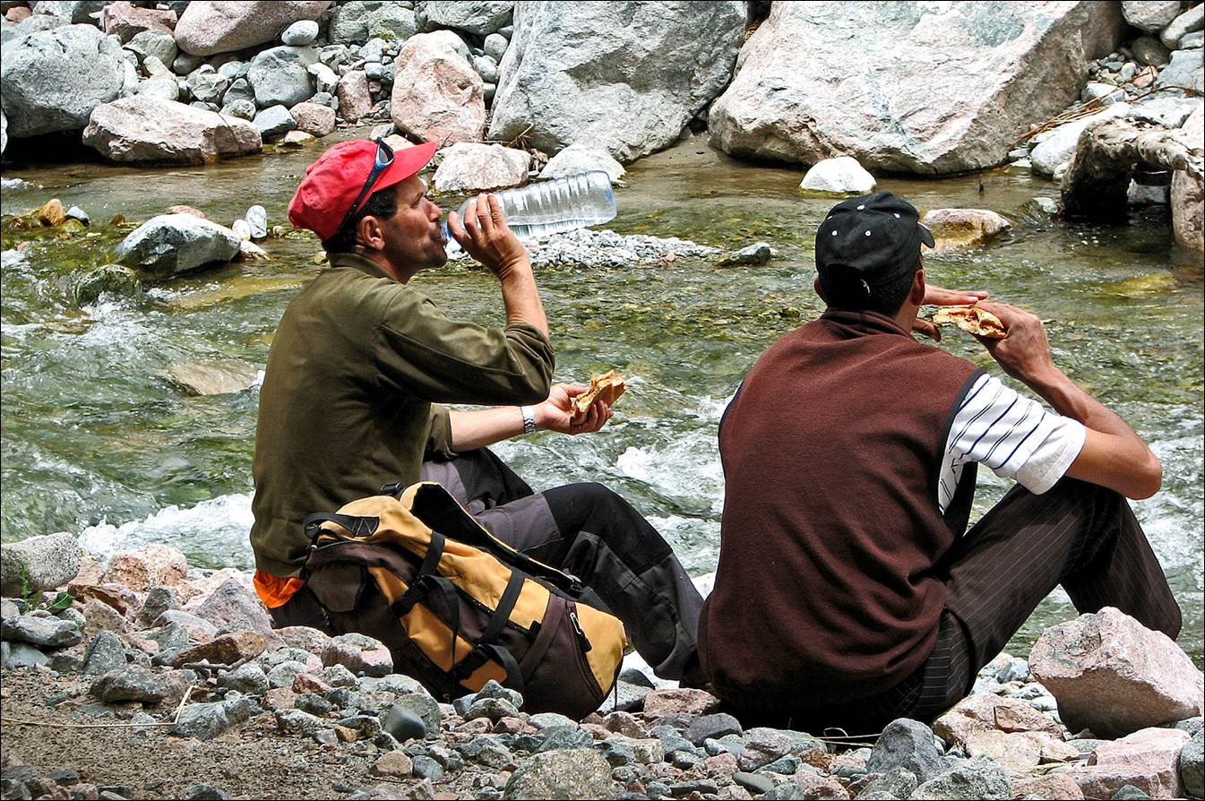
Snack
along Asif Zat.
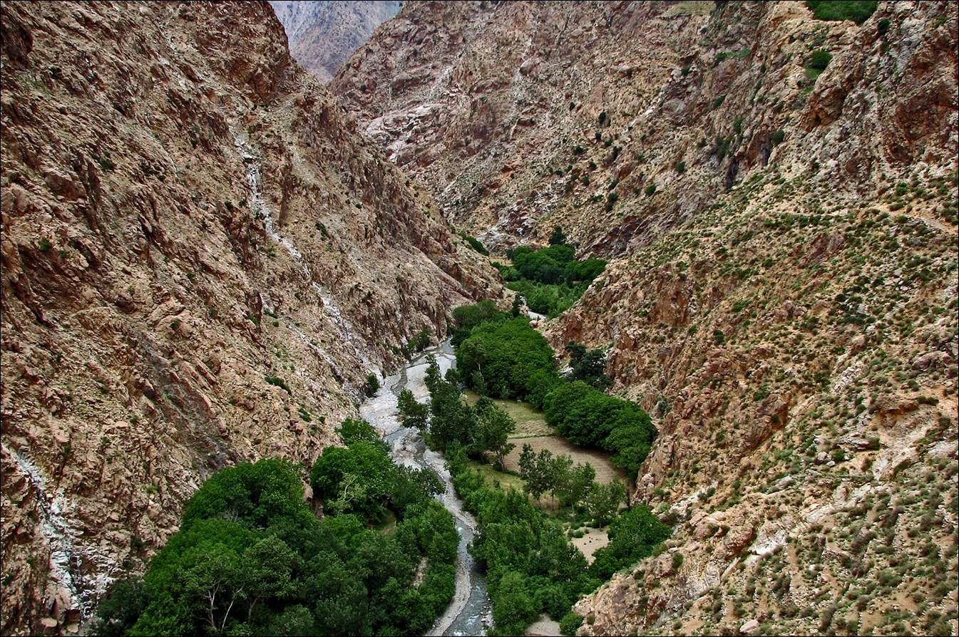
The
end of the gorges of Azib Zat just before reaching
the village of Imerguene.
June 23: From Tillouguit (1400m) to Aguerd (1600m), through Tizi n-Ikkis
(2300m) and the plateau of Yagour
View
from Tizi n-Ikkis.
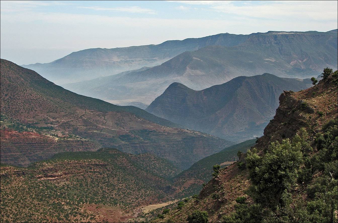
Views
of the Yagour plateau and some of its villages.

Azib
n-Ikkis.
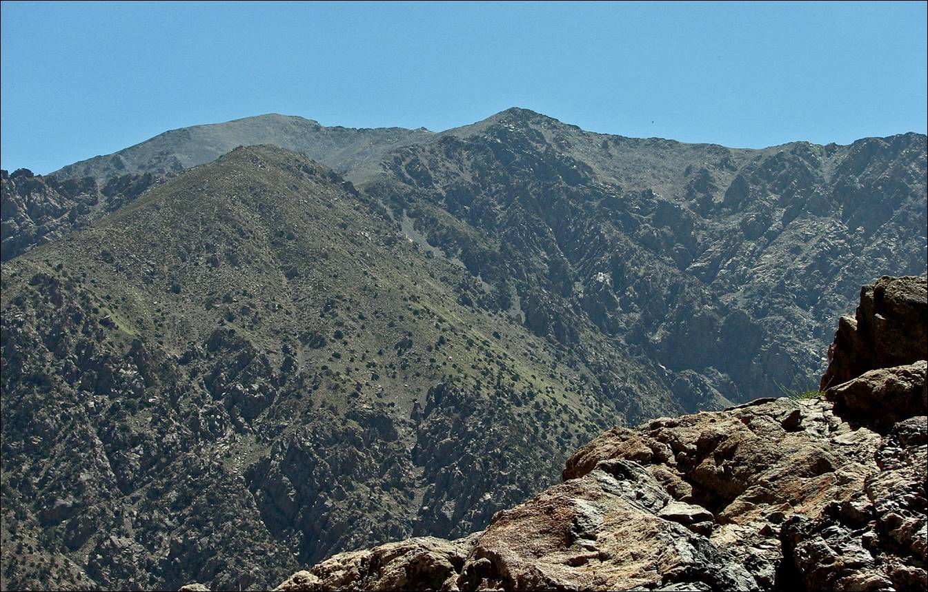
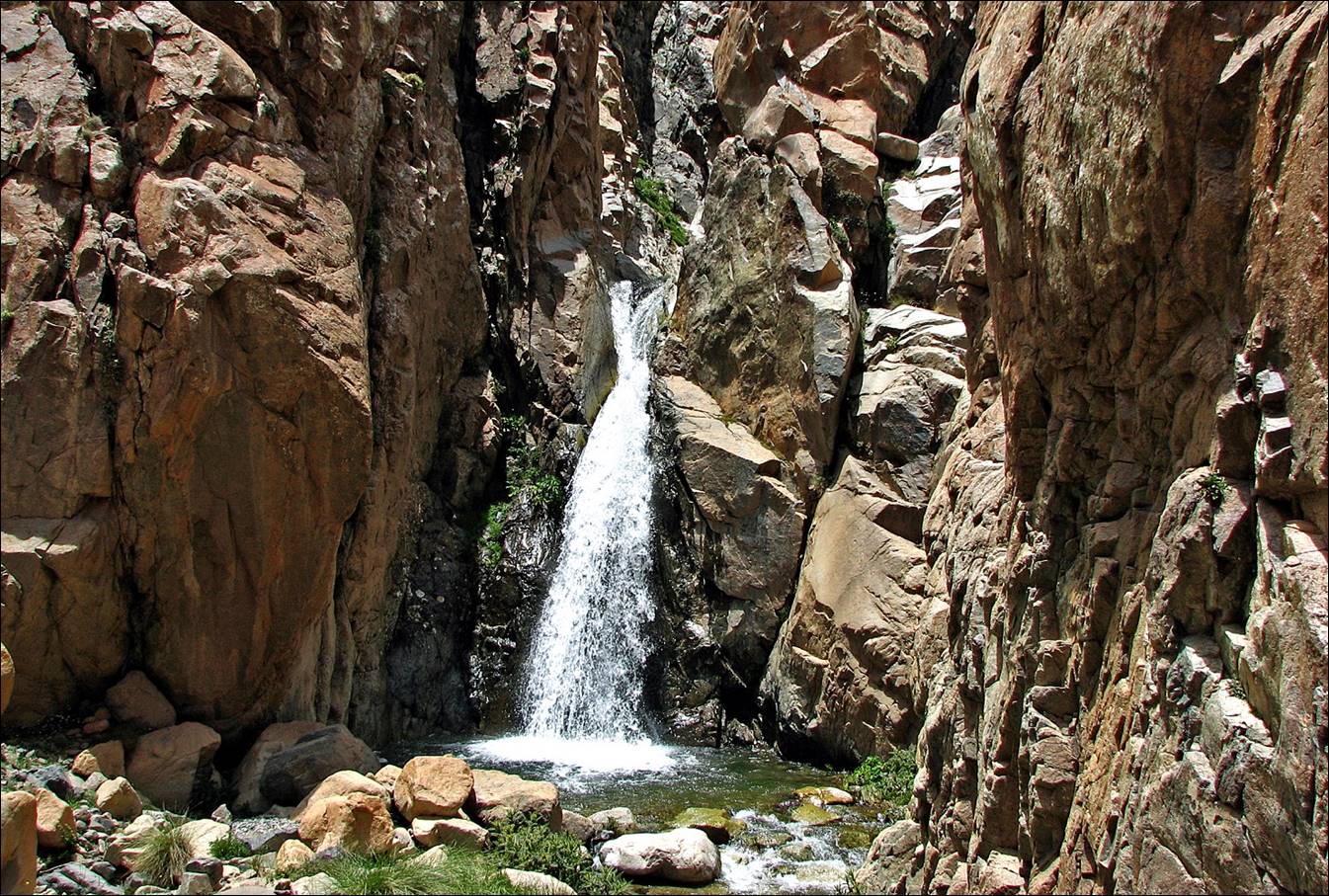
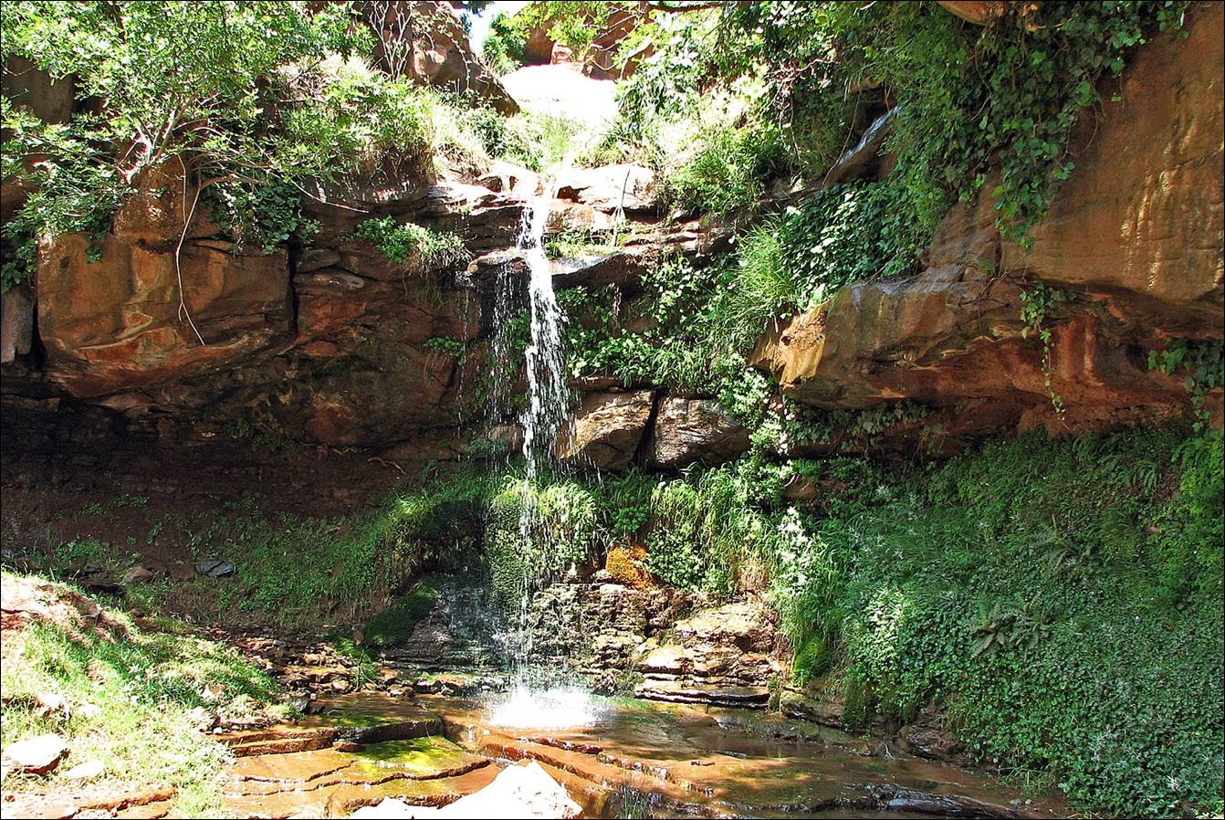
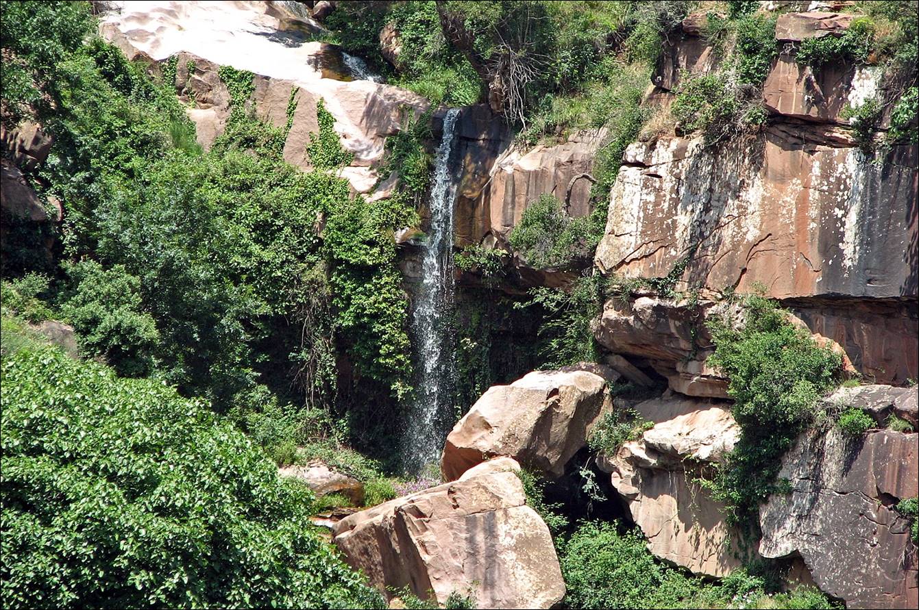
Adrar Meltzene (3595m).
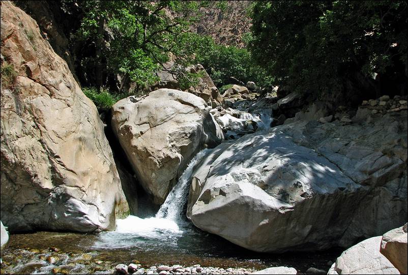
Waterfalls in the small canyon descending
from the Yagour plateau to Aguerd.
June 24: From Aguerd (1600m) to Tazzitount (1250m) in the Ourika
valley
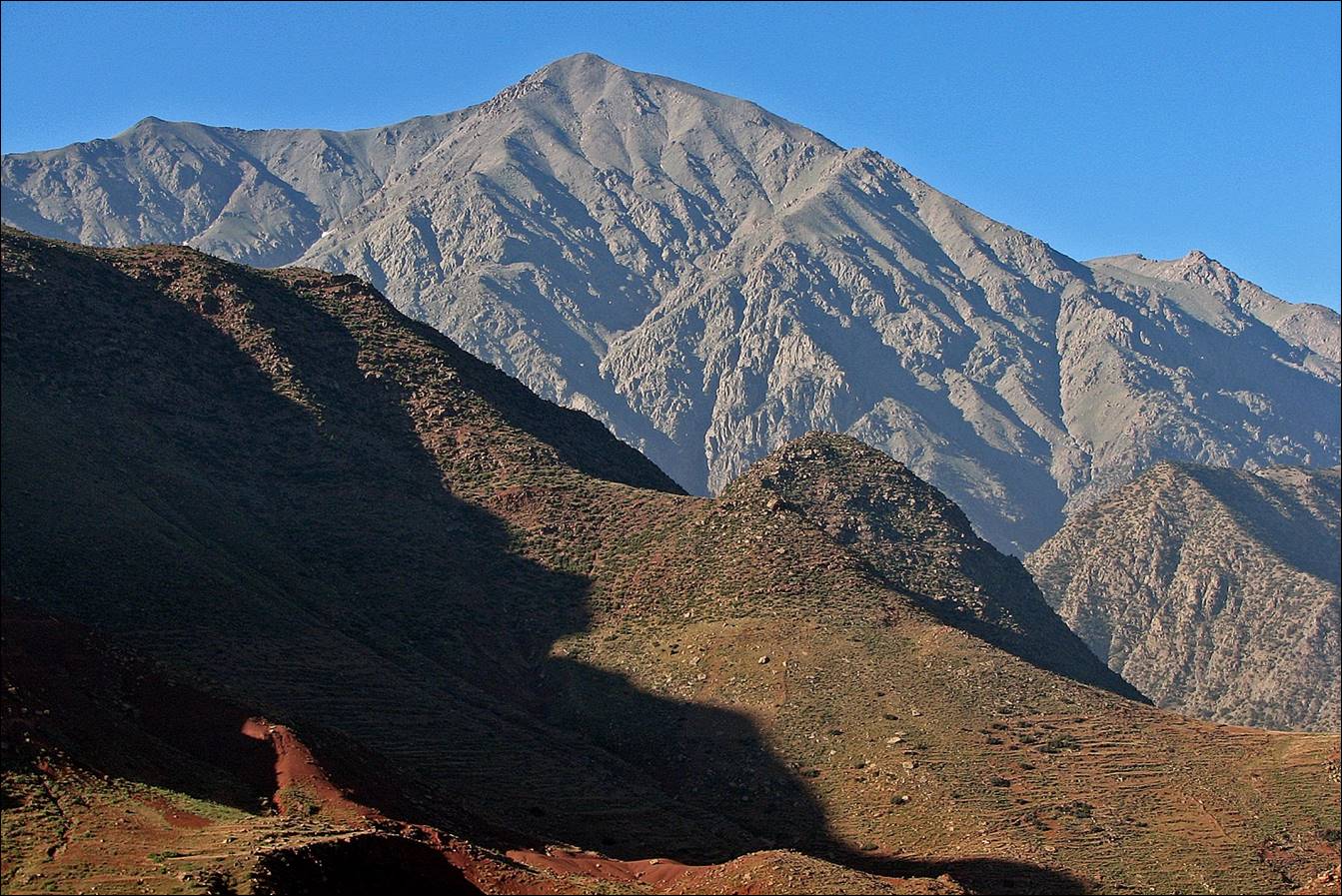
Mount Arjout (again)
viewed from the village of Anammer.
![]()