Traverse of the East Ridge of Jebel Mgoun
(July 2-6, 2010)
![]()
Return to my
mountaineering-trekking-travel webpage
The Mgoun massif is a
30+km-long elongated mountain range in the central portion of the High Atlas.
Most of its long ridge lies above 3000m and culminates at 4068m (Oumsoud) near
its western end. Oumsoud is often climbed by trekkers from either the south or
the north side of the mountain. In 2008, Oumar Oulaїdi, a mountain guide from Tabant in the Ait Bouguemez valley, had suggested to me that we should try to
reach the summit from the east by following the long ridge that spans most of
the massif (see map below). We decided to do this traverse in early July 2010.
Unfortunately, Oumar was slightly injured in a car accident a few days before
the trip. Instead, I went with one of his friends, Chimmi, from the village of
Rbat, also located in the Ait Bouguemez valley. The following map shows our
itinerary (yellow line):
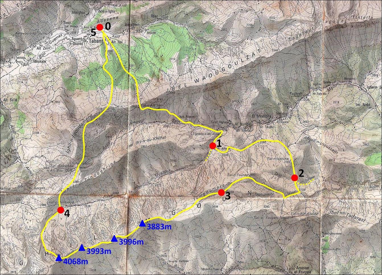
This 5-day trek started
and ended in Tabant. The numbered red dots indicate
our successive camps.
The traverse of the Mgoun ridge is technically easy, although the ridge is
occasionally narrow and steep on both sides. Nevertheless, it raises a few
challenges. There is no water between camps 2 and 4 (except for a couple of
snow patches in early summer). We used a mule to carry water up to camp 3 and
then we did the rather long traverse from camp 3 and to camp 4 in a single day
(6h to reach Oumsoud, plus 2h to reach the start of the Assif Oulilimt valley
where water is available again). During that traverse, we experienced very strong
lateral wind that was often destabilizing and required moving with caution. Due
to the proximity of the Sahara desert, I suspect that such high wind is the
norm (at least during the summer), rather than the exception. Finally, there is
no easy escape from the ridge. The southern slope seems slightly less steep and
less broken than the northern one, but it may still contain rock bands not
visible from the ridge.
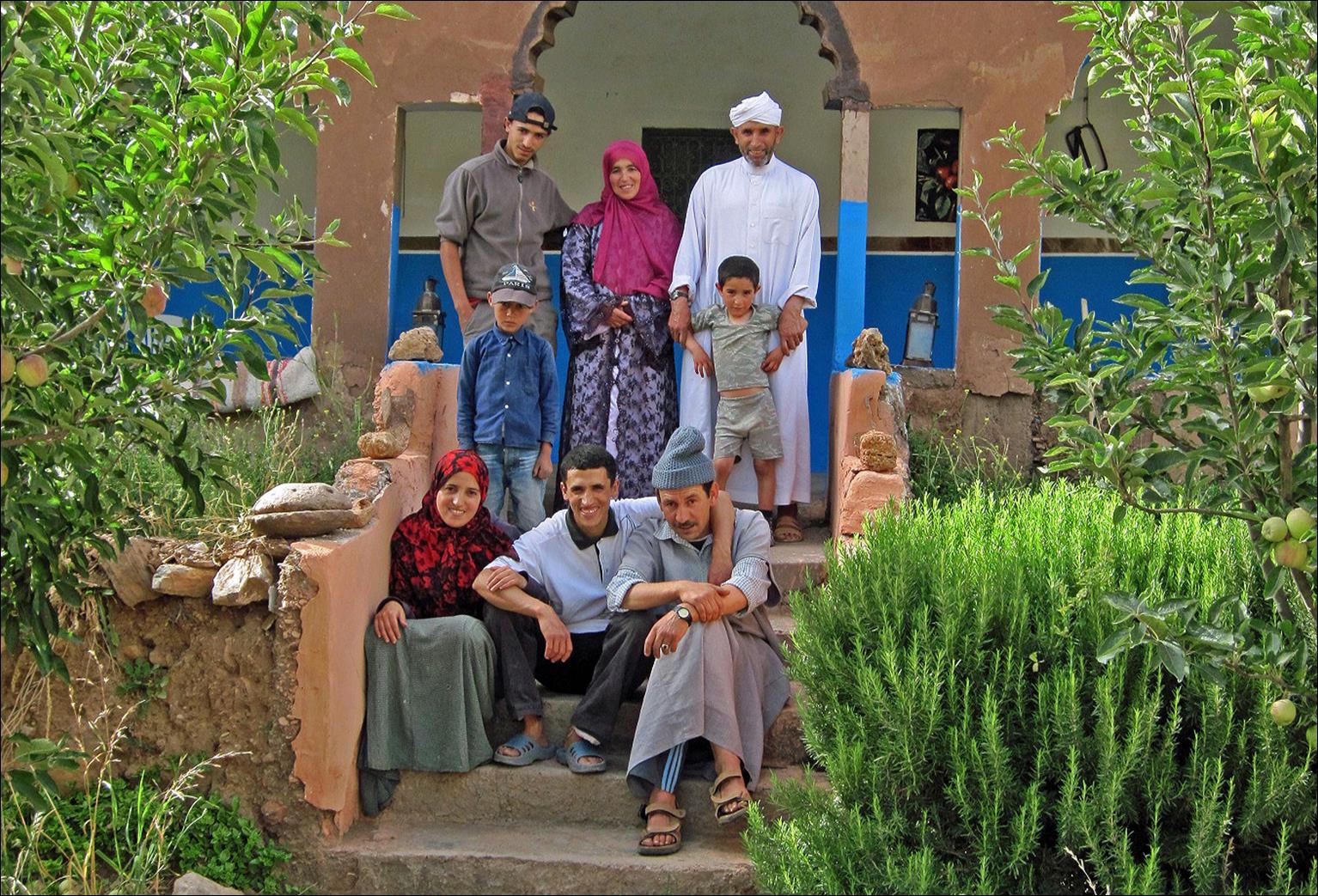
The trip started from the Oulaїdi′s ″gite″ (a kind of
guesthouse) in Tabant, through the small village of Ait Imi, toward Tizi Ait Imi (pass) at almost 3000m.
The Oulaїdi family
at their gite.
The village of Ait Imi below Tizi Ait Imi (center top).
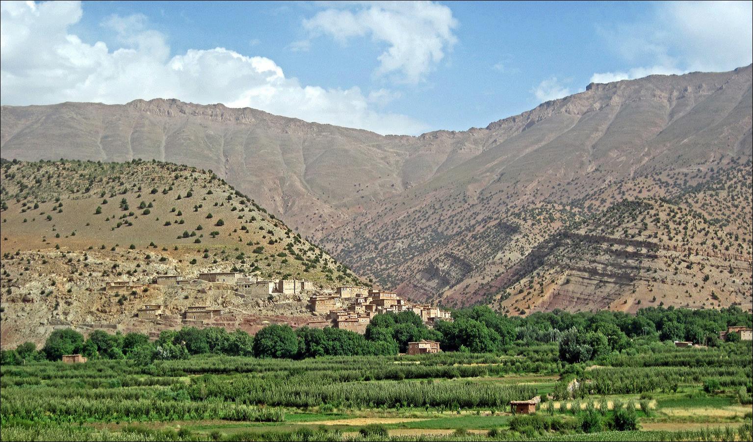
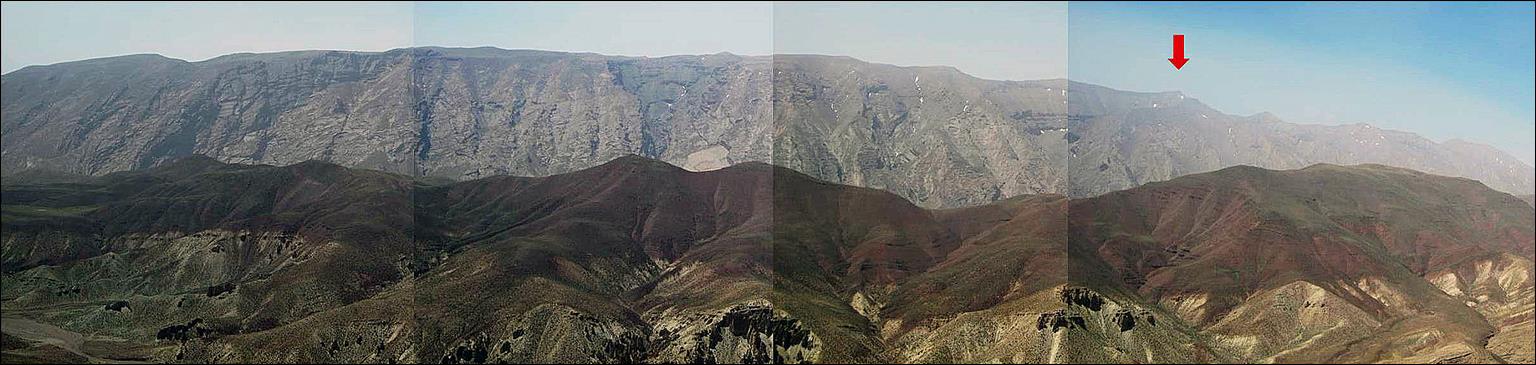
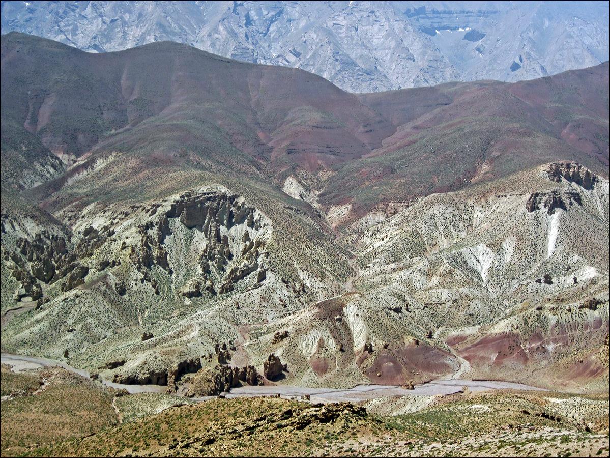
Photo collage showing the Mgoun range as seen from Tizi Ait
Imi. We followed the ridge from the left (east) to
right (west). Oumsoud is marked with the red arrow.
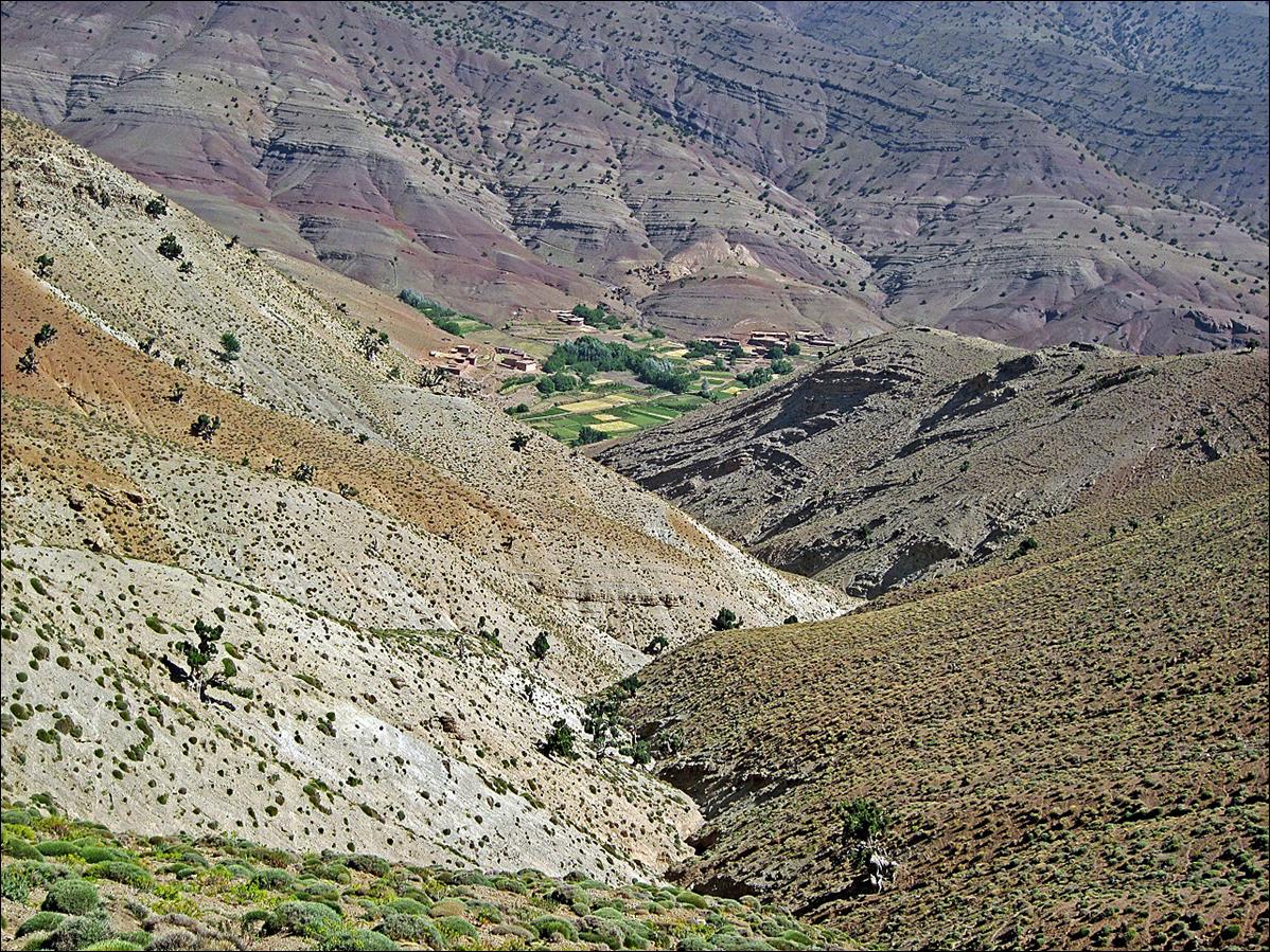
The valley of Assif Amougr Saln below Tizi Ait Imi.
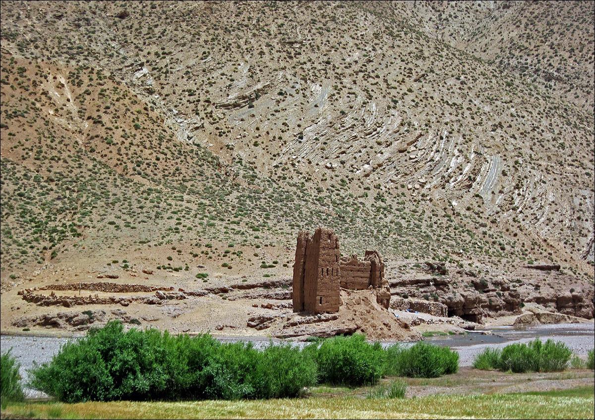
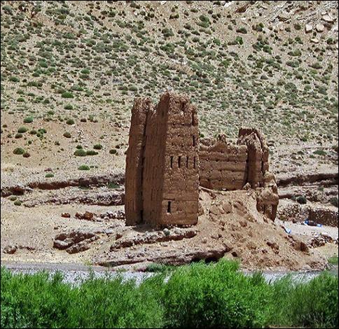
The kasbah of
Tighremt-n-Ait Ahmad at the junction where Assif Amougr Saln and Assif Oulilimt
merge to form Assif Mgoun.
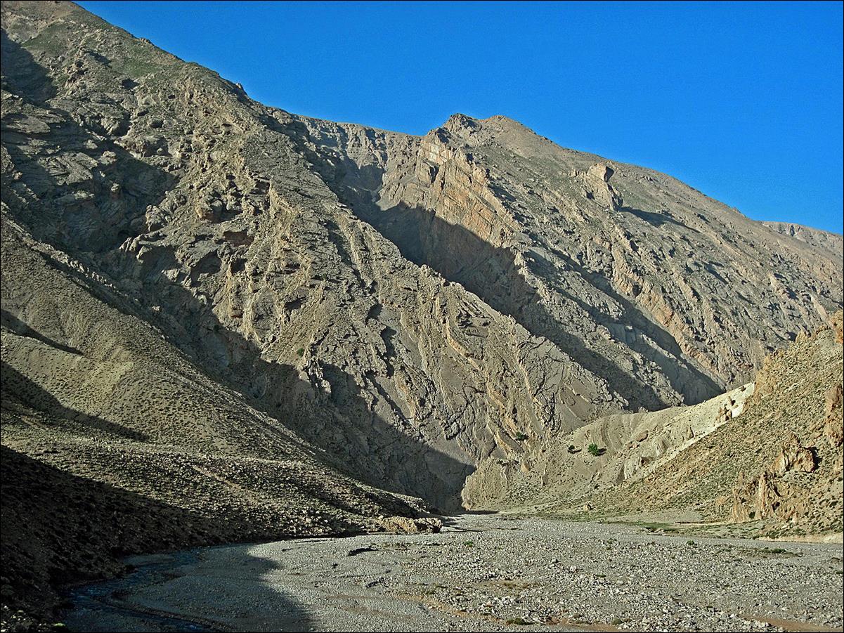
The valley of Assif
Oulilimt slightly above the kasbah of Tighremt-n-Ait Ahmad.
Note the deep canyon in the middle of the photo. Another picture in this page
will show views of this canyon from the Mgoun ridge.
Camels brought by nomads
to drink from Assif Oulilimt. Even camels sometimes need to drink!

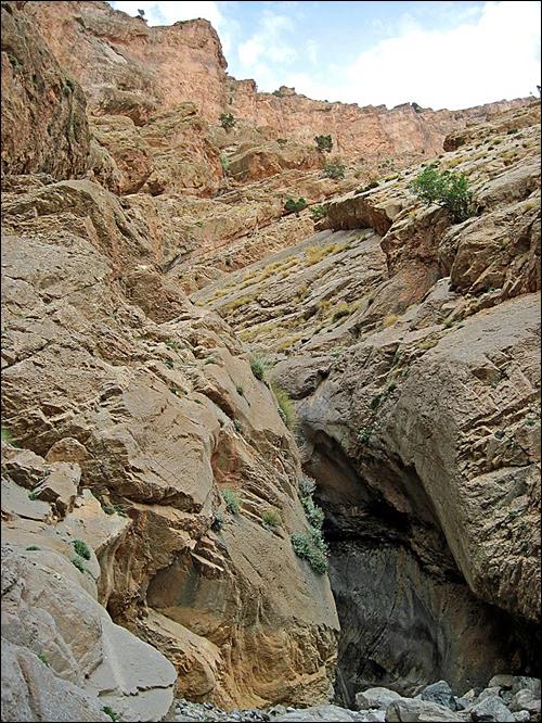
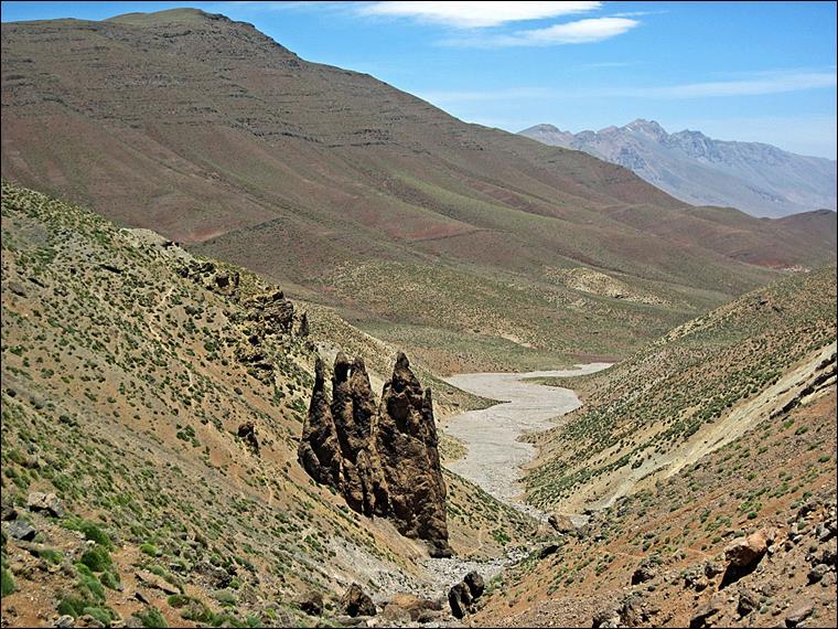
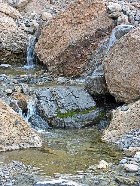
Small narrow canyons in
Assif Oulilimt.
|
|
|
|
Sometimes life is tough.
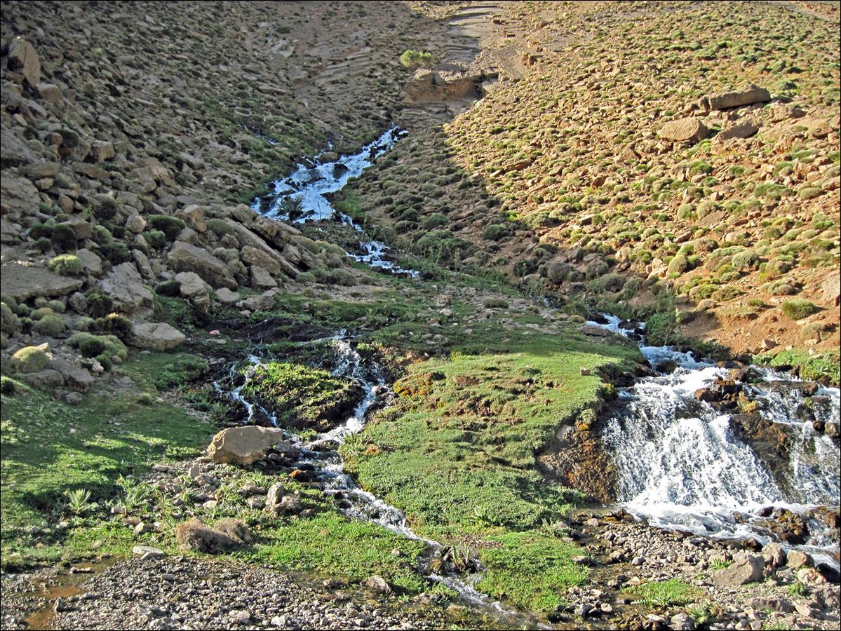
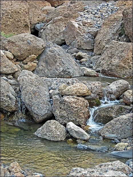
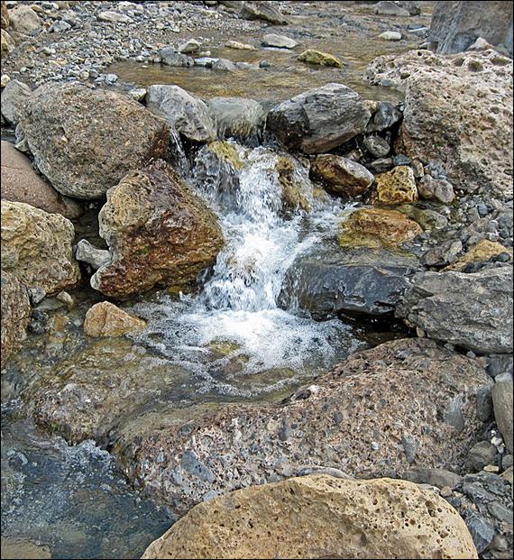
Ain (the Berber term for ″source″)
Aflafal near our first camp, flowing from the bottom
of the Mgoun massif.
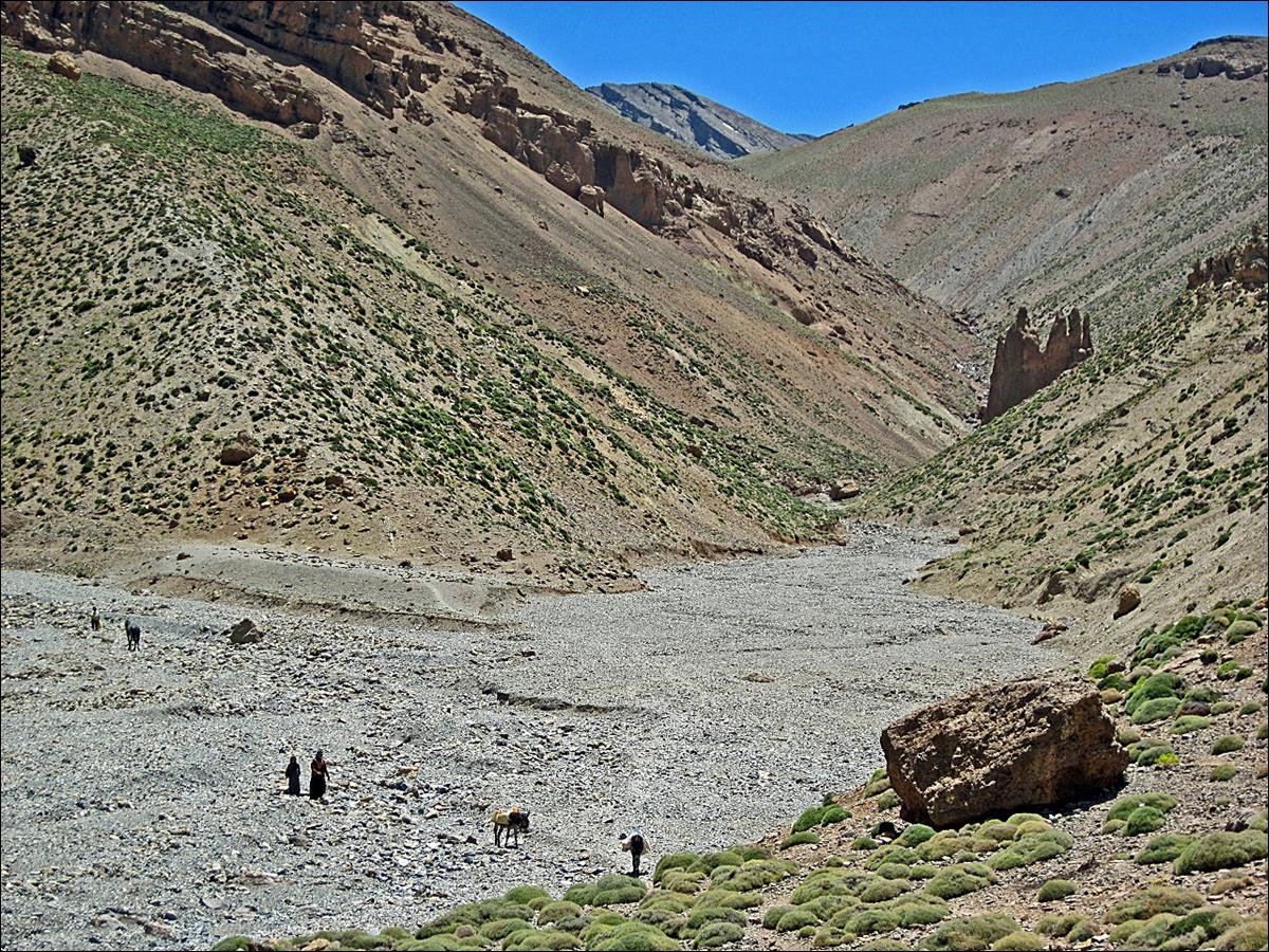
A glimpse at the Assif Mgoun valley.
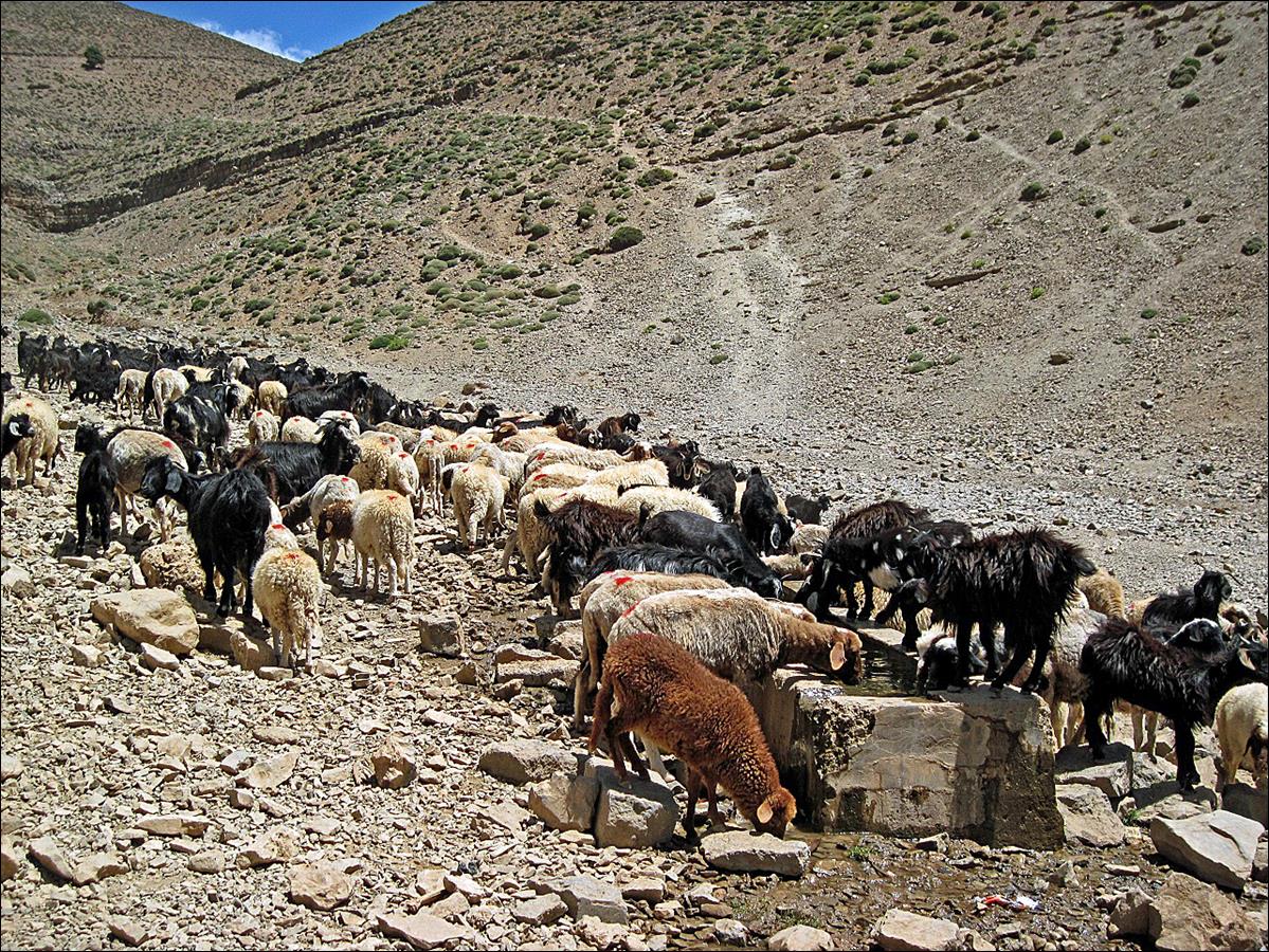
Sheep drinking from the
source where we set our second camp, below Tizi Ait
Ahmed. This was the last place where we could get water before ascending the Mgoun ridge.
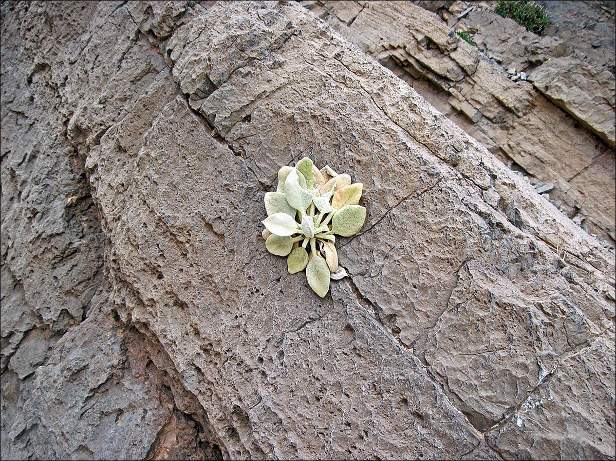
Juniper growing in a rock
crack in Talat n-lydane. Notice its long root to the
ground at the base of the rock.
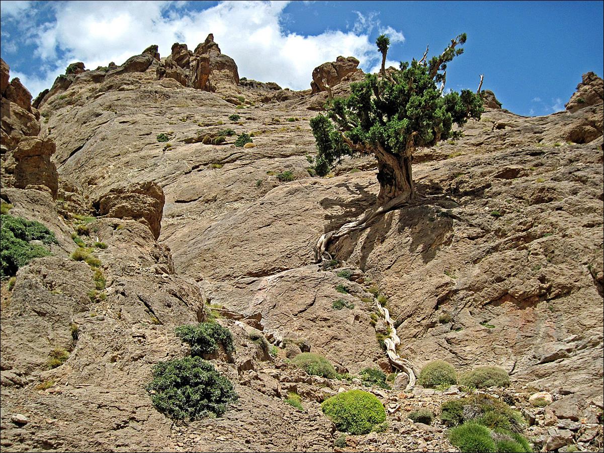
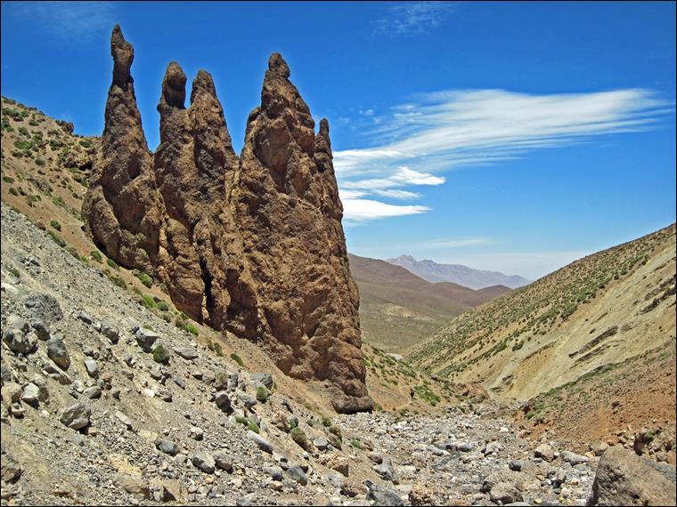
Rock formation in Talat n-lydane.
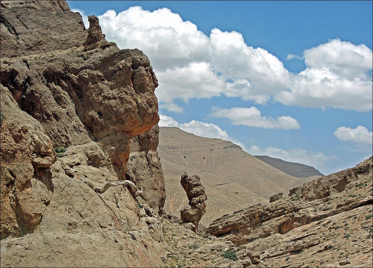
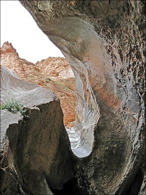
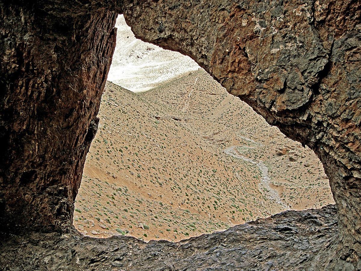
A cave with a window in
Talat n-lydane.
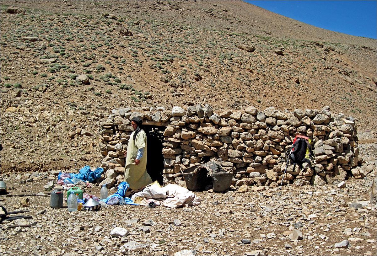
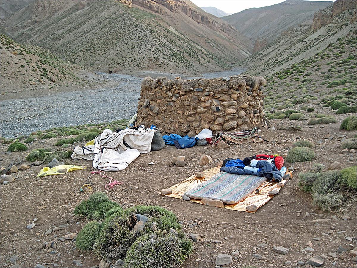
Our third camp, a small
shepherd stone house.
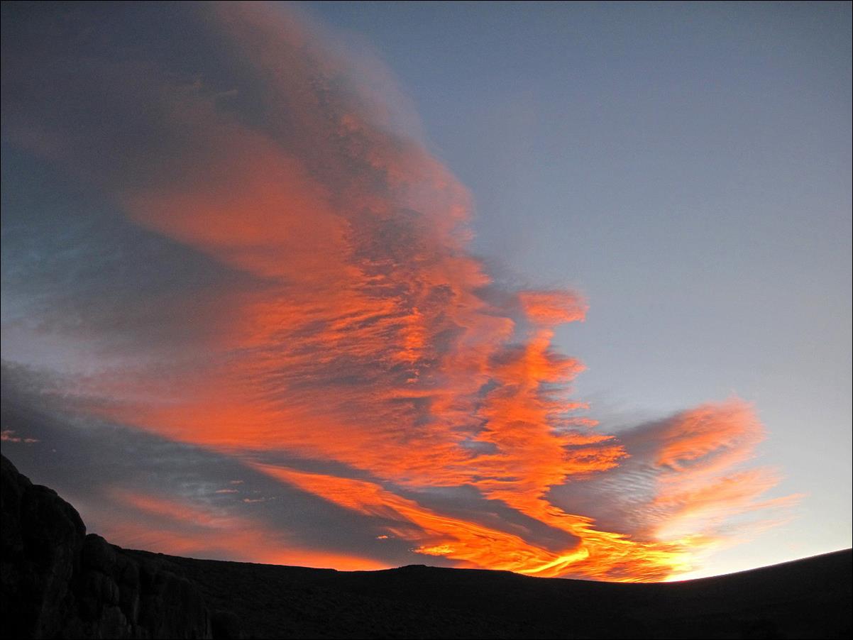
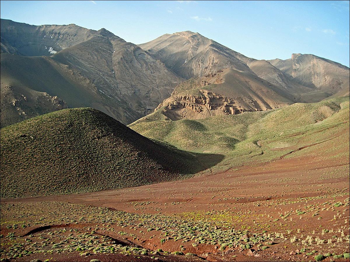
A beautiful sun rise on
July 5, when Chimmi and I started our trek to Oumsoud.
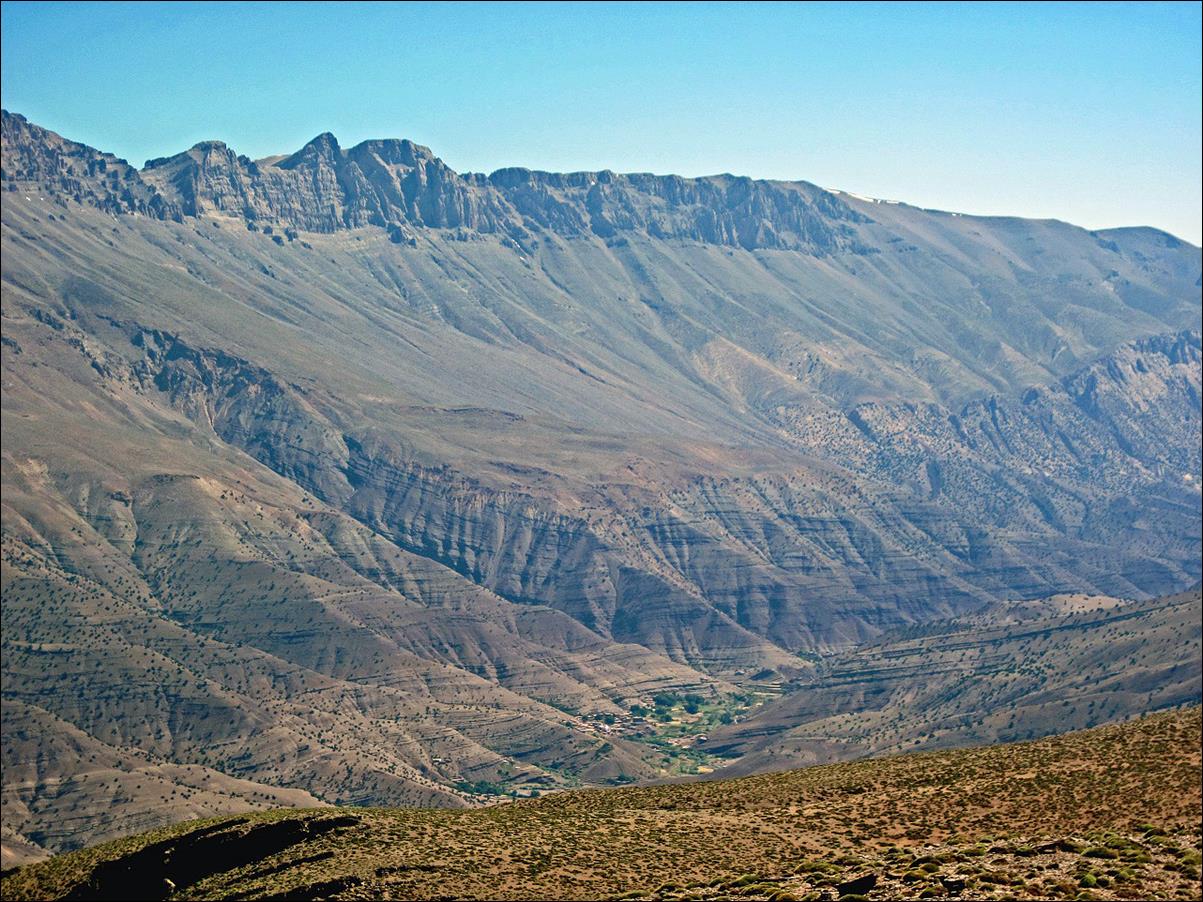
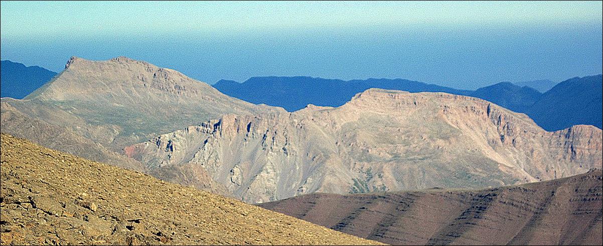
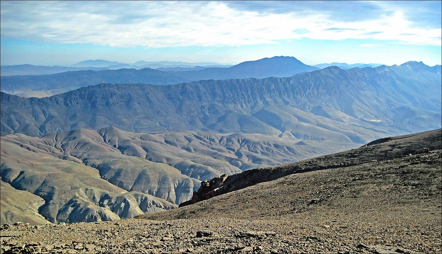
View of Jebel Waougoulzat
from the Mgoun ridge, with the Assif Mgoun valley at the bottom.
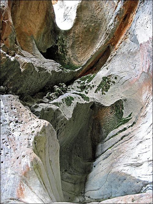
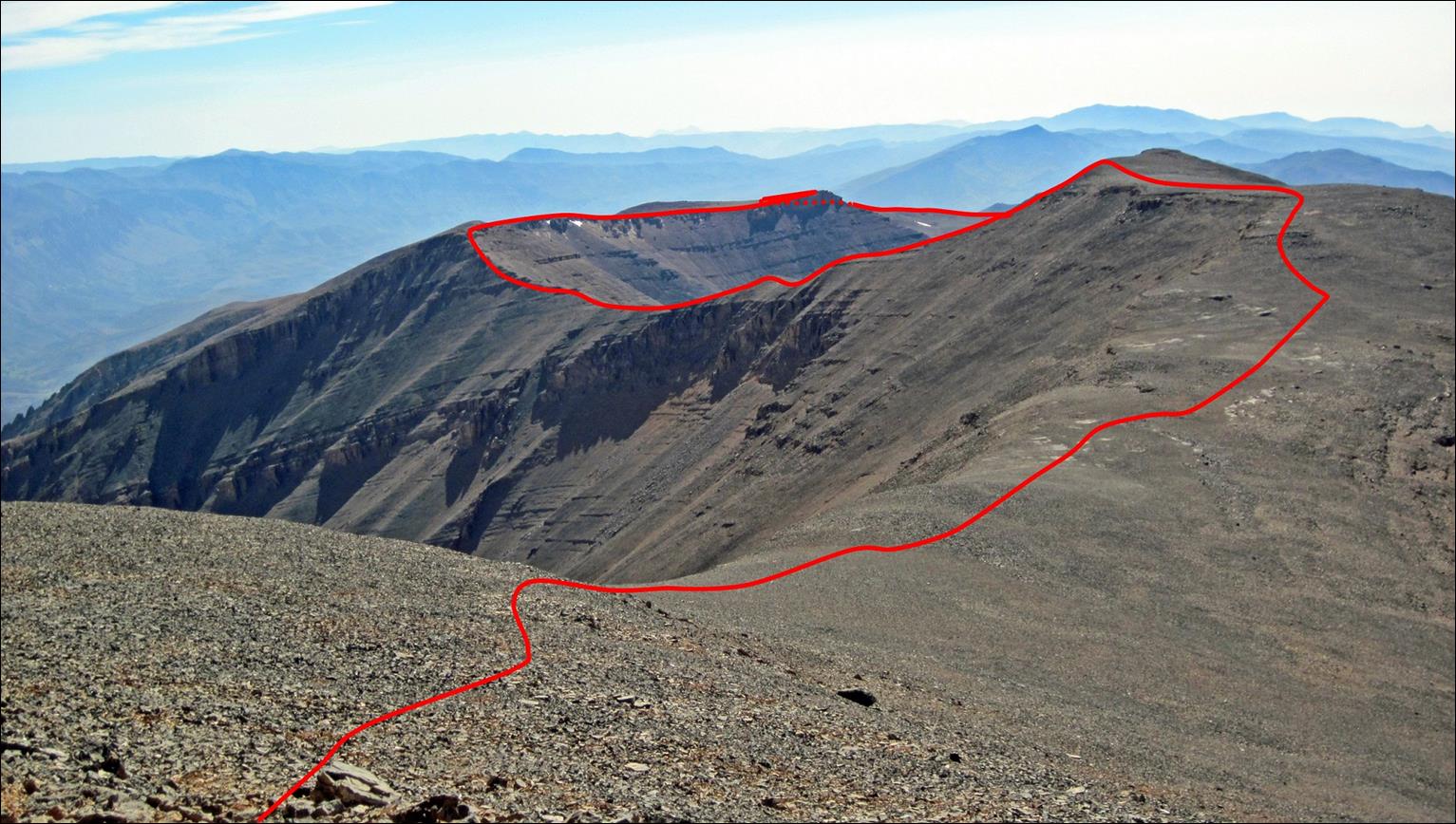
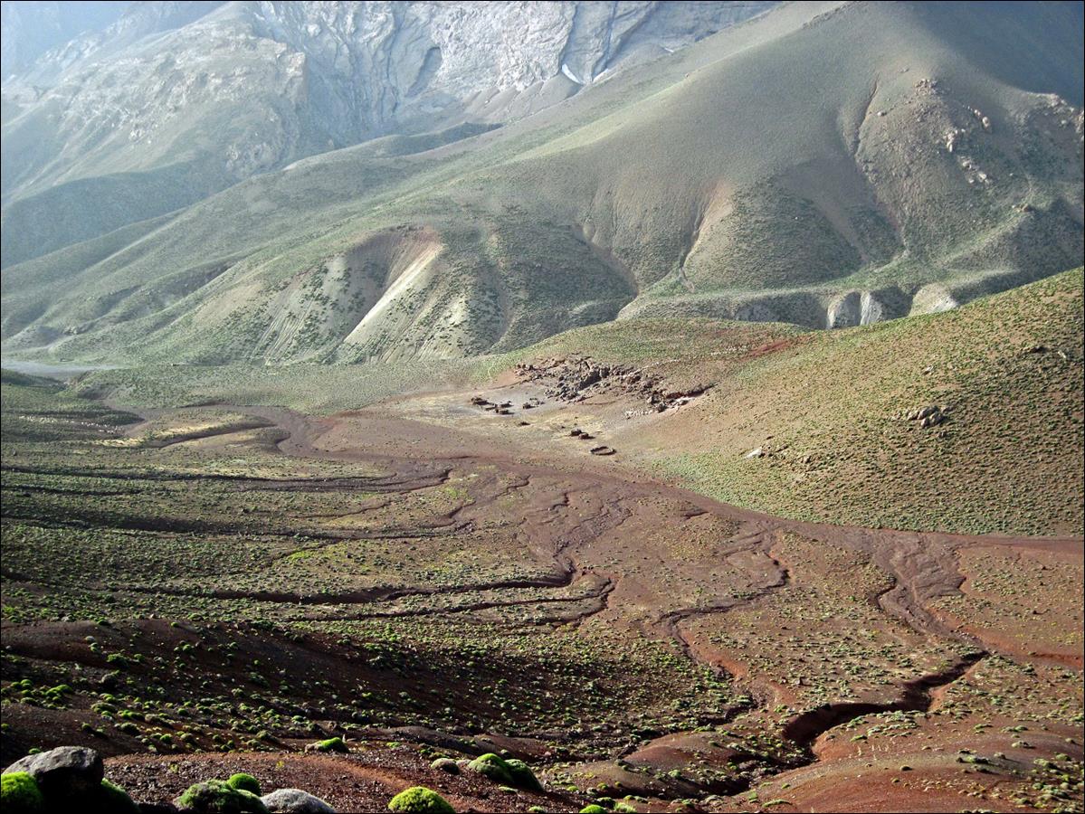
The canyon falling down
from the Mgoun ridge into the Assif Oulilimt valley.
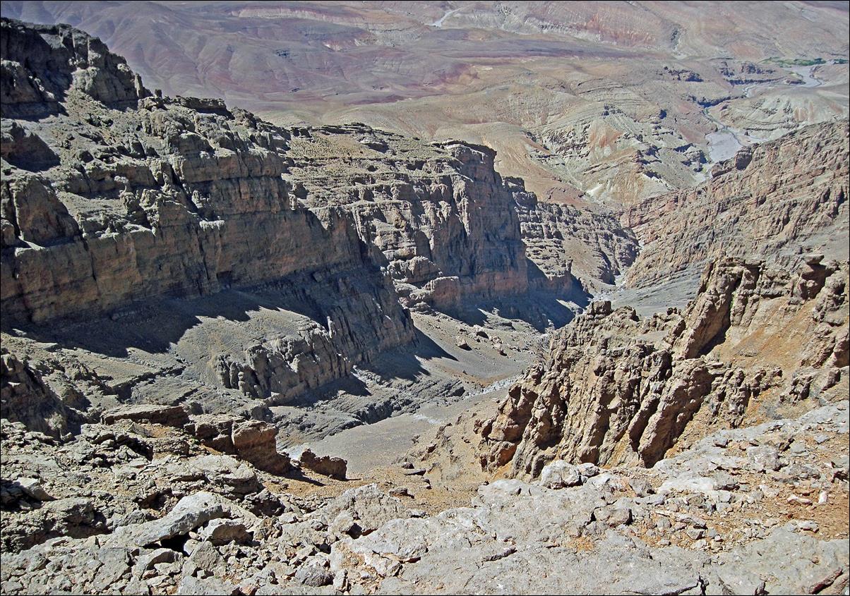
Another view of the
canyon. Here, the red arrow in the top-right picture indicates the location of
the kasbah of Tighremt-n-Ait
Ahmad shown in the bottom-right picture.
|
|
|
|
|

Snow
patch on the Mgoun ridge.
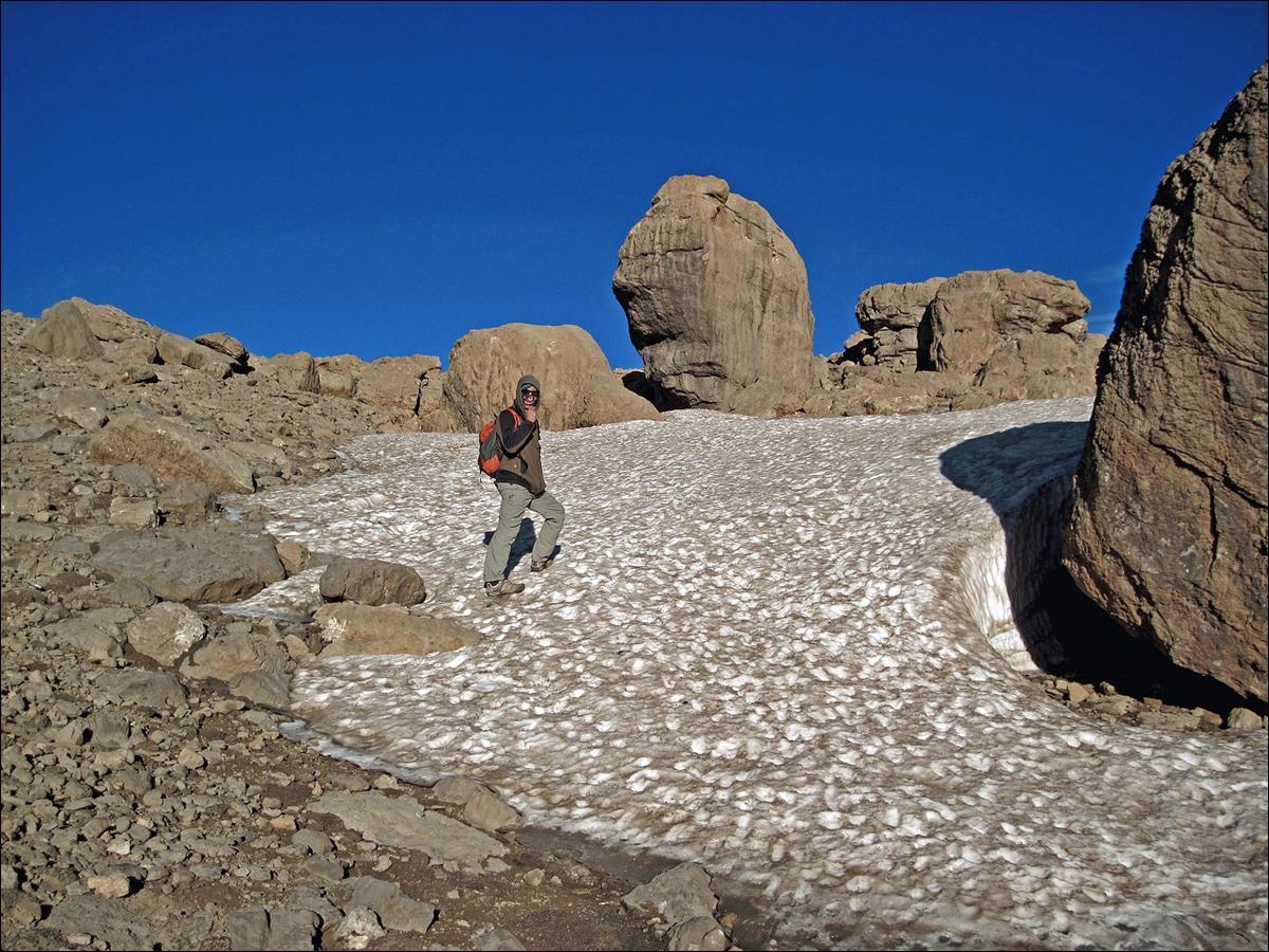
A ″soccer field″
on top of the Mgoun massif.
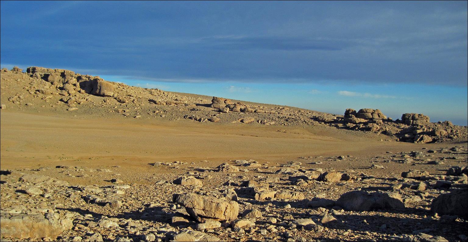
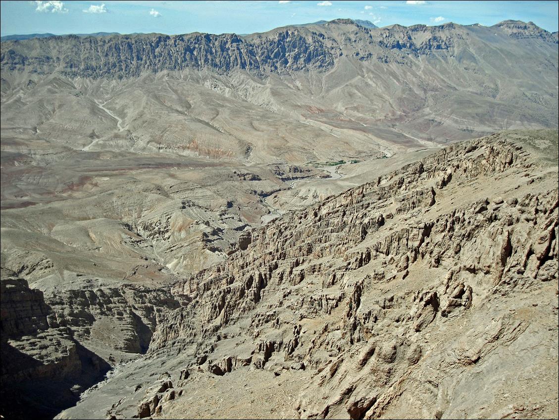
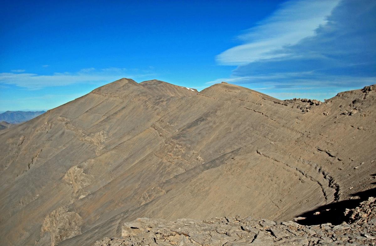
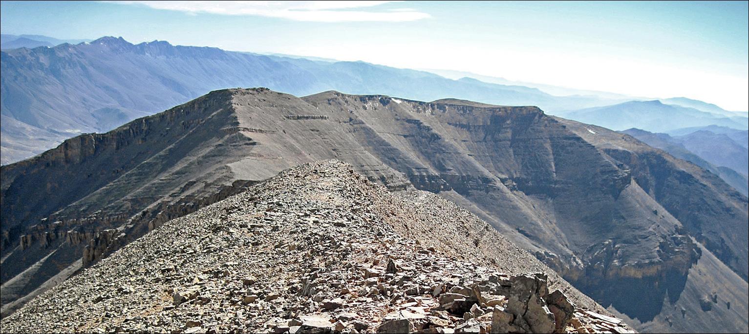
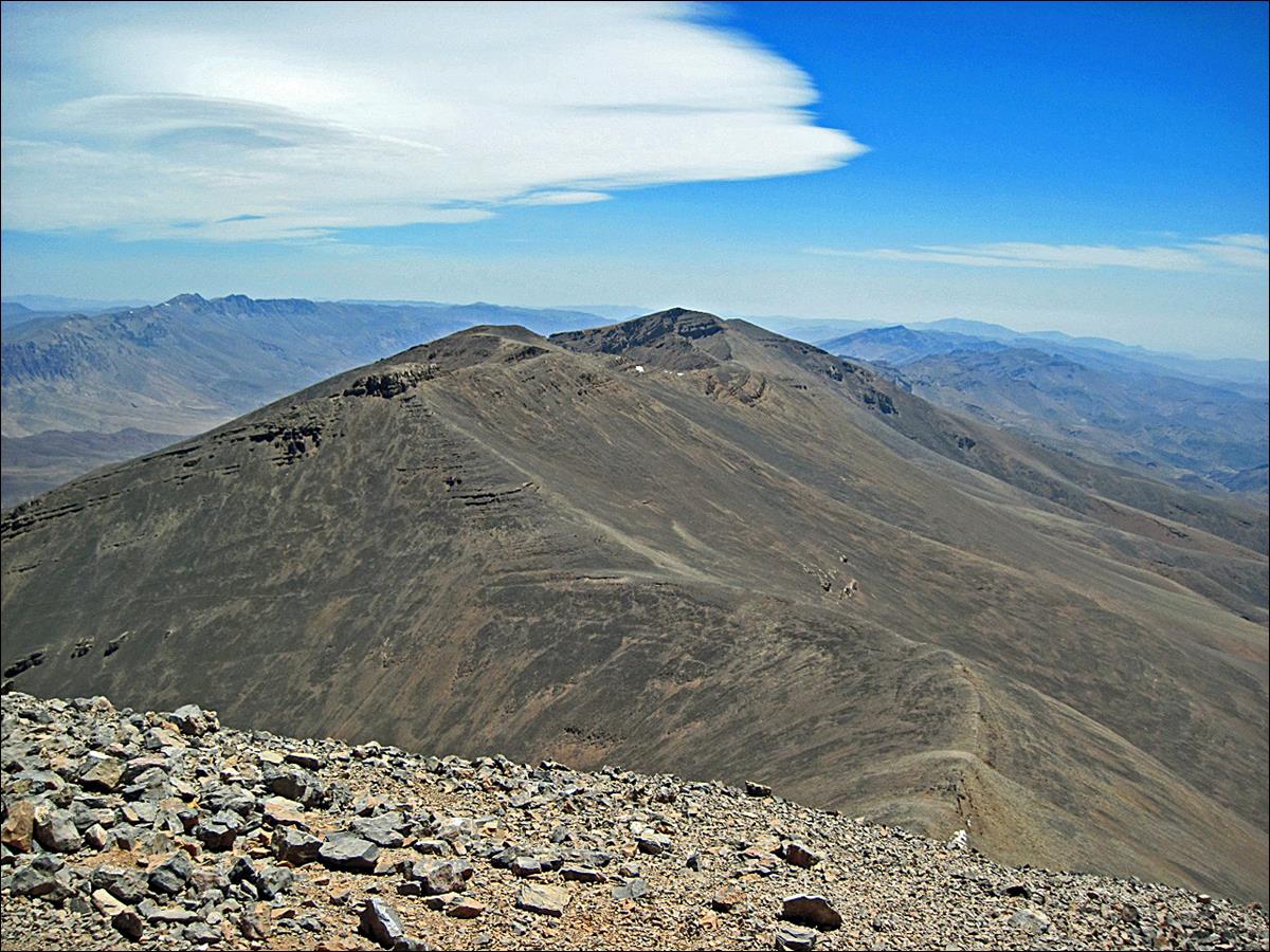
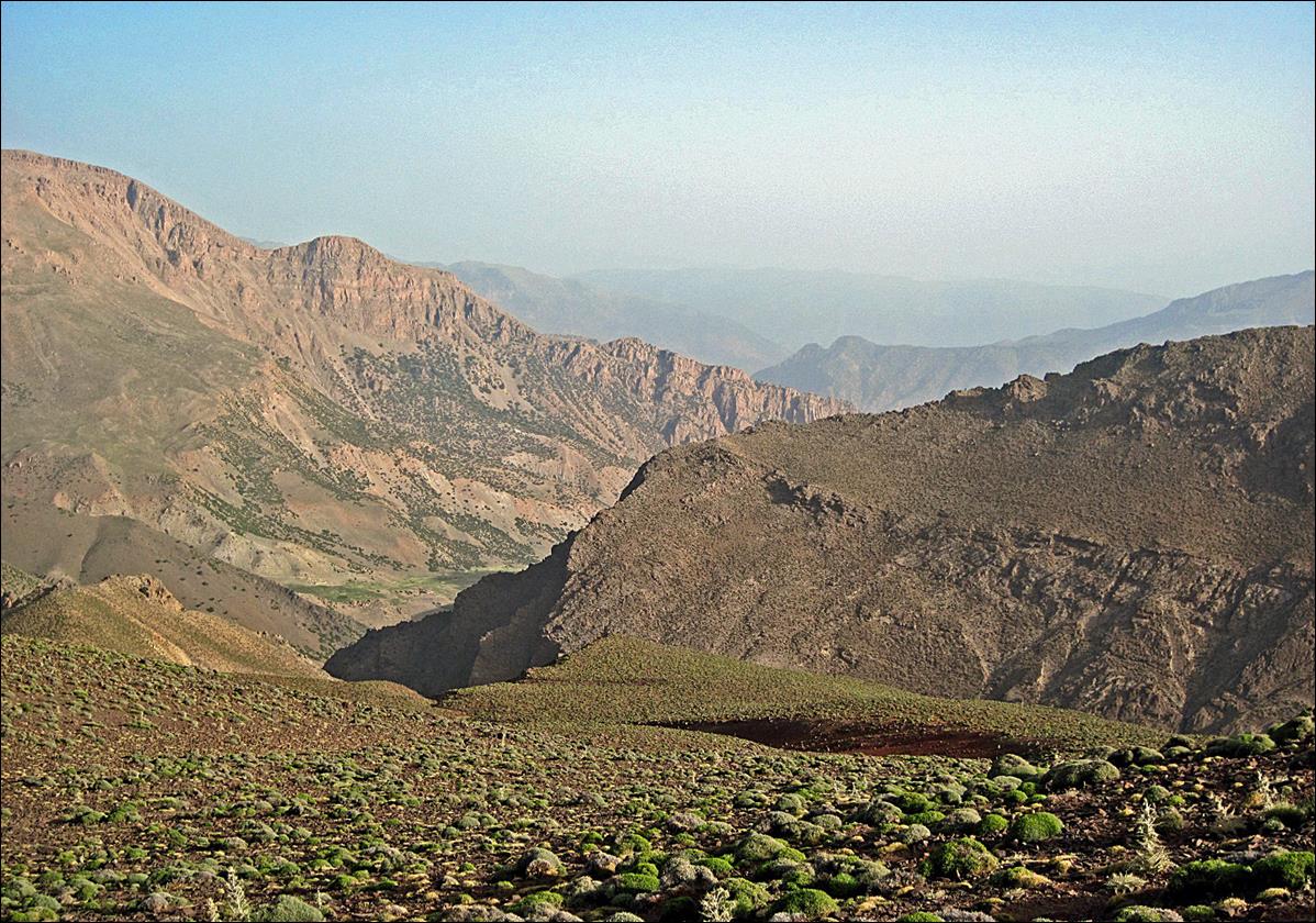
Views of the Mgoun ridge.
Views from the Mgoun
ridge:
- Toward south: the
mountain range in the background is Jebel Sahro.
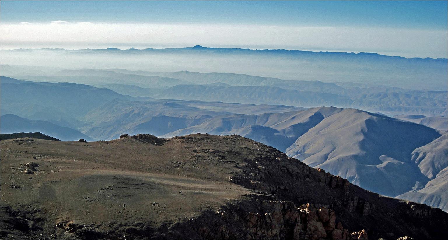
- Toward south-west.
- Toward north-west.
- Toward north: the
mountain range with a few snow patches on the left of the picture is Ighil-n-Igoudamene. We will cross
it on the next day to return to the Ait Bouguemez valley.
- Toward the north-east:
the long mountain range in the middle ground is Jebel Waougoulzat
and the large dark mountain in the background is Jebel Azourki.
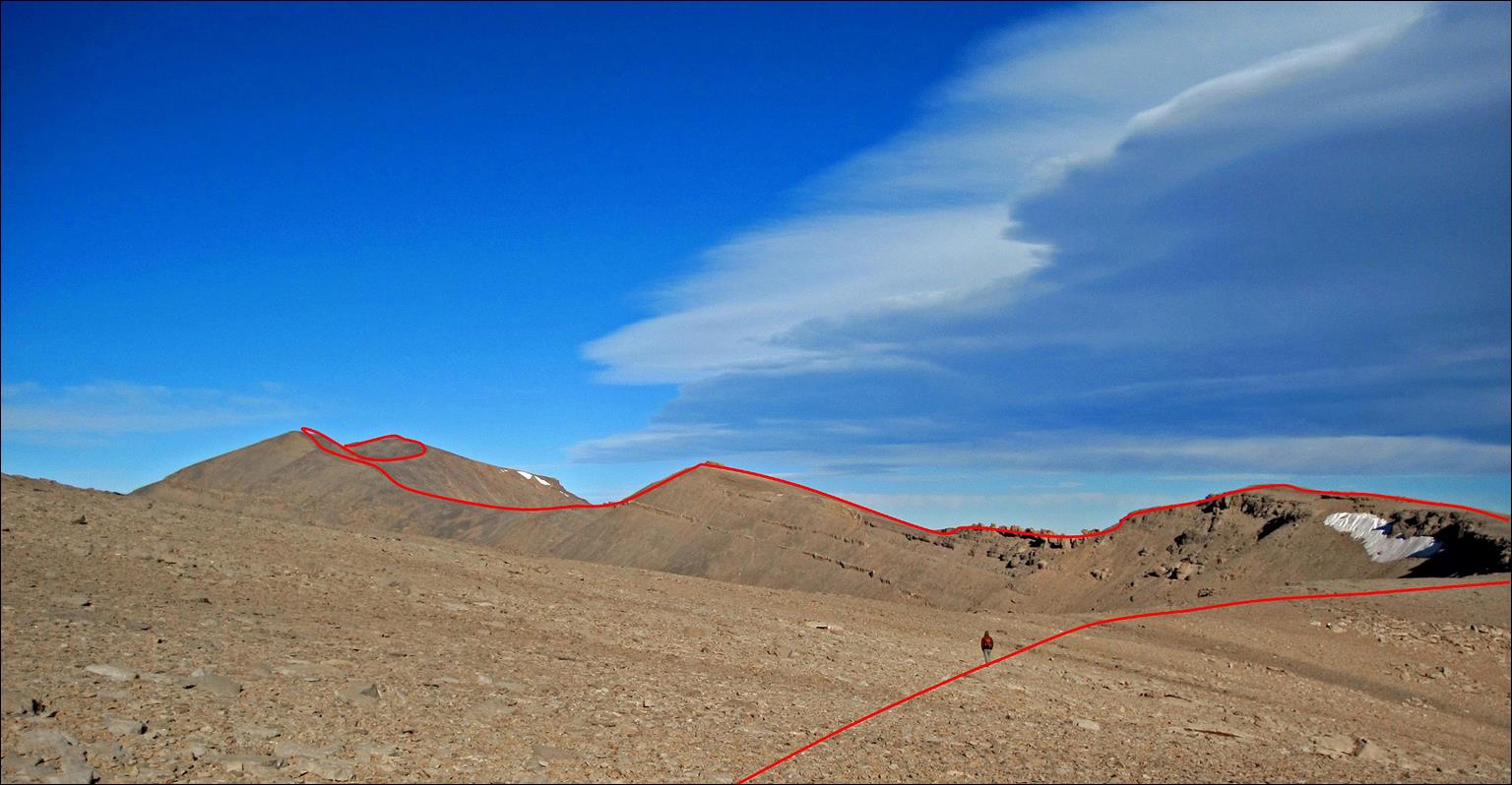
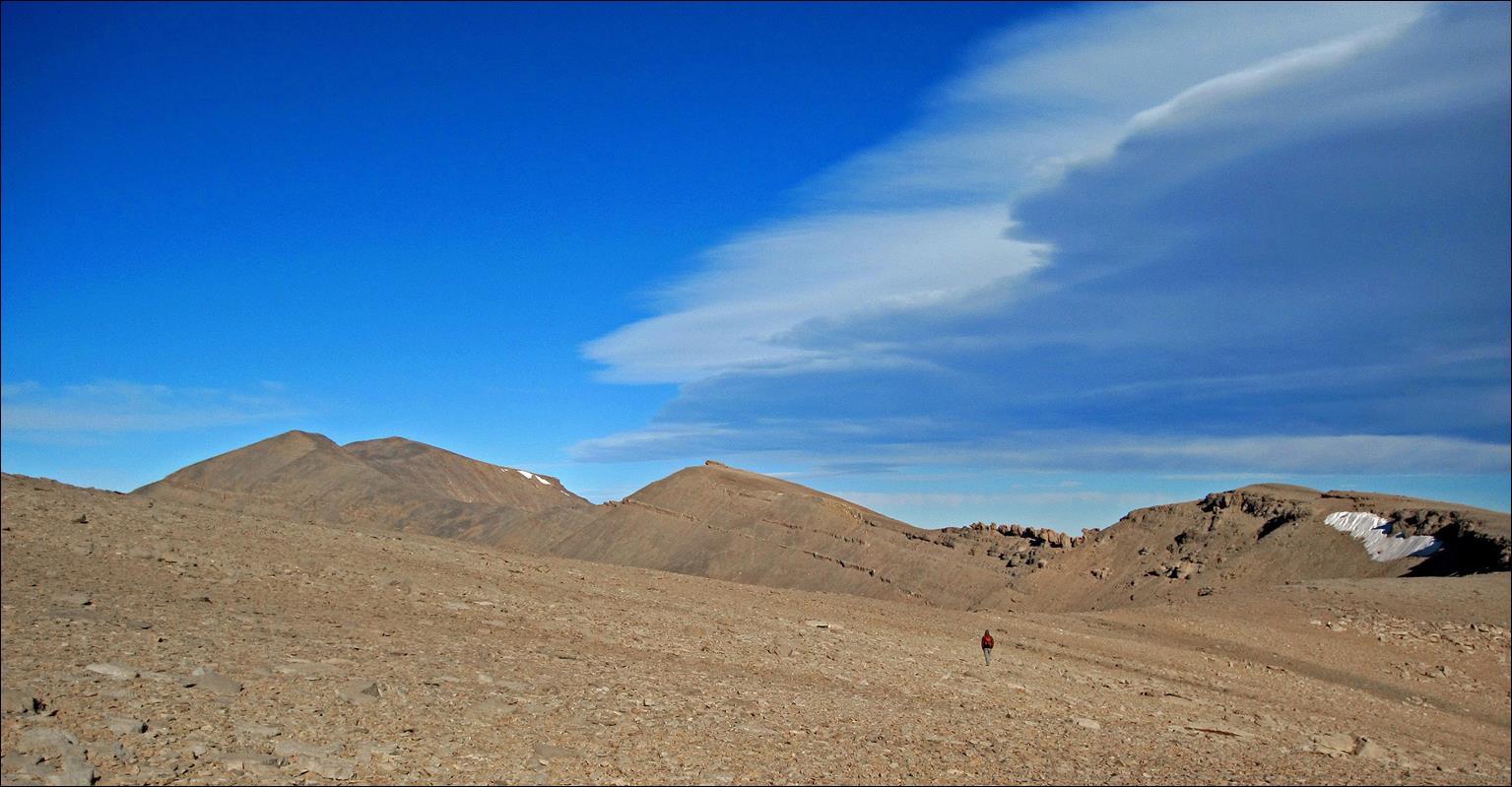
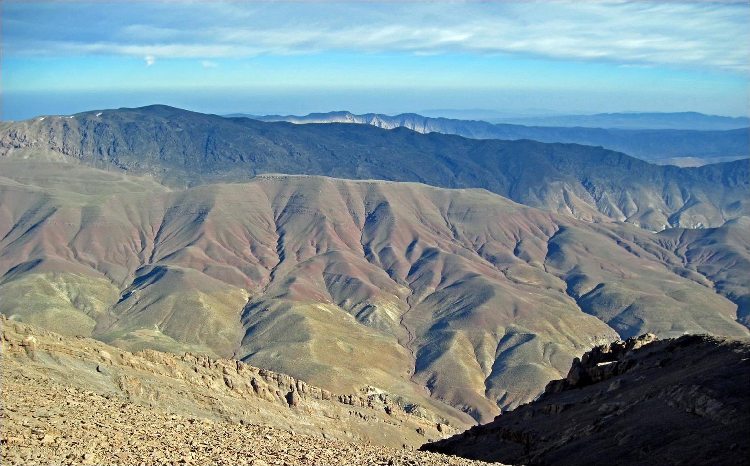
More views of the Mgoun ridge.
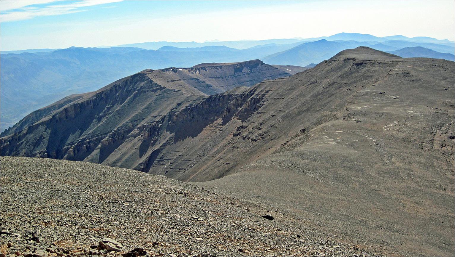
Looking at the Mgoun ridge
toward the east from the Mgoun summit (Oumsoud).
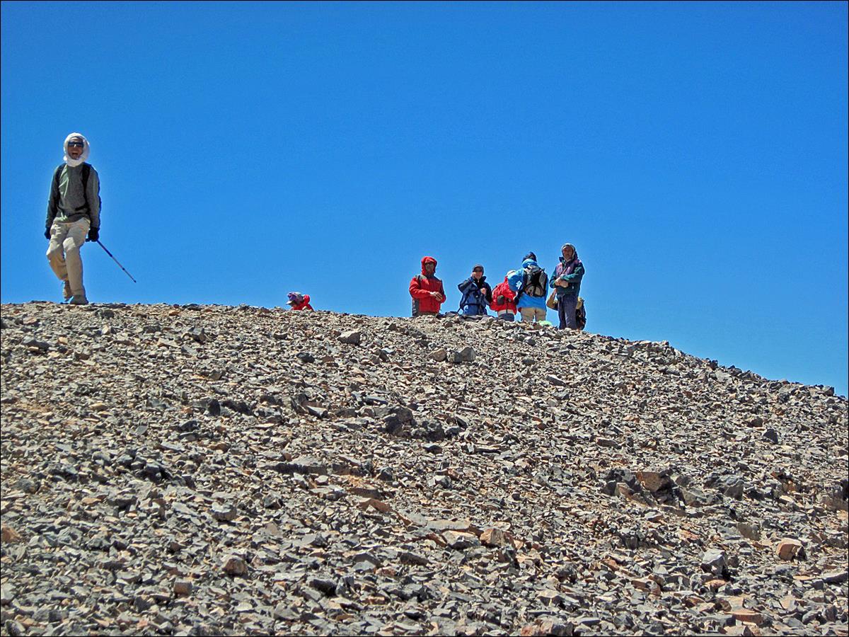
Spanish trekkers on the
summit.
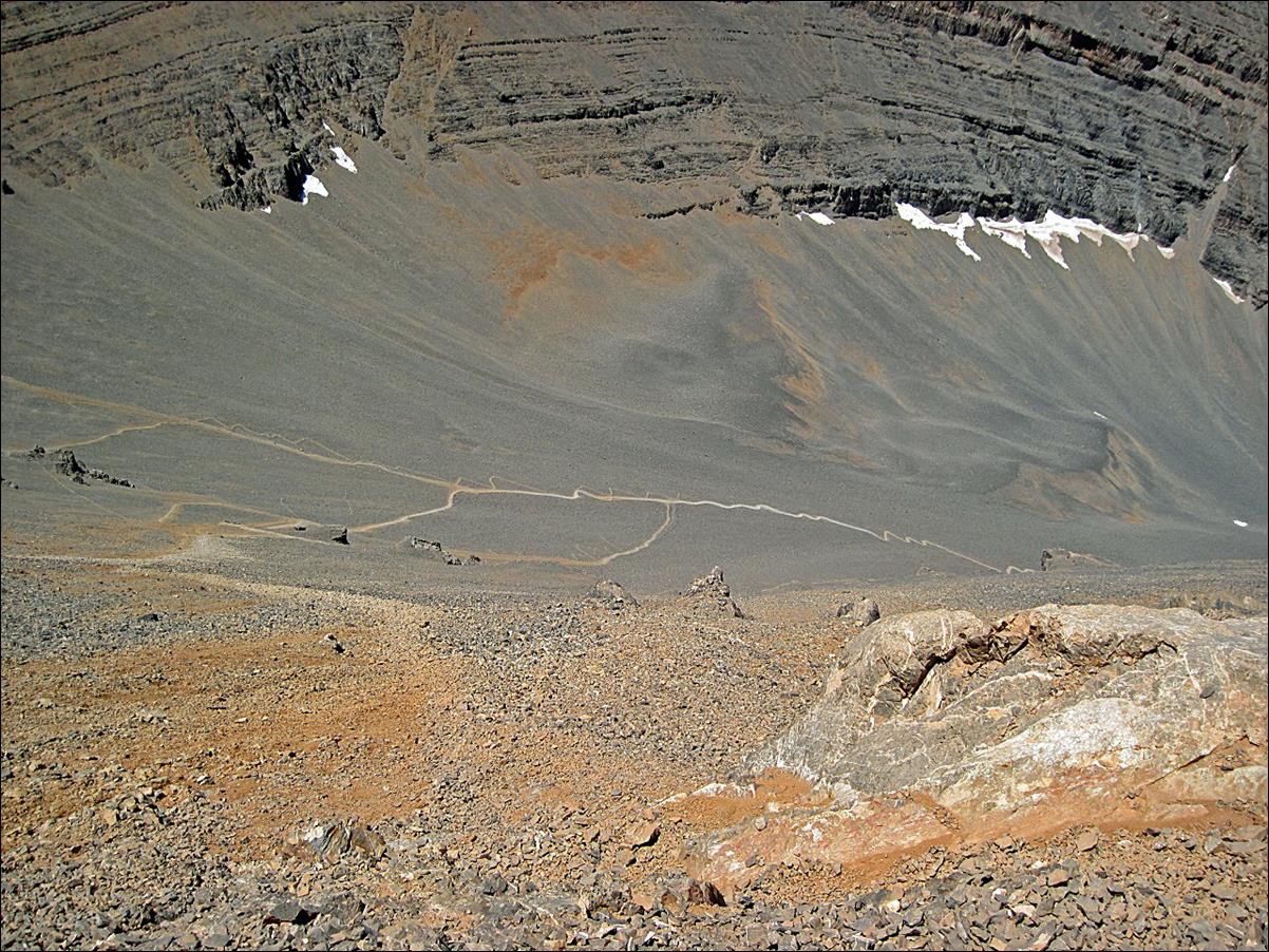
The steep descent from Oumsoud toward Assif Oulilimt.
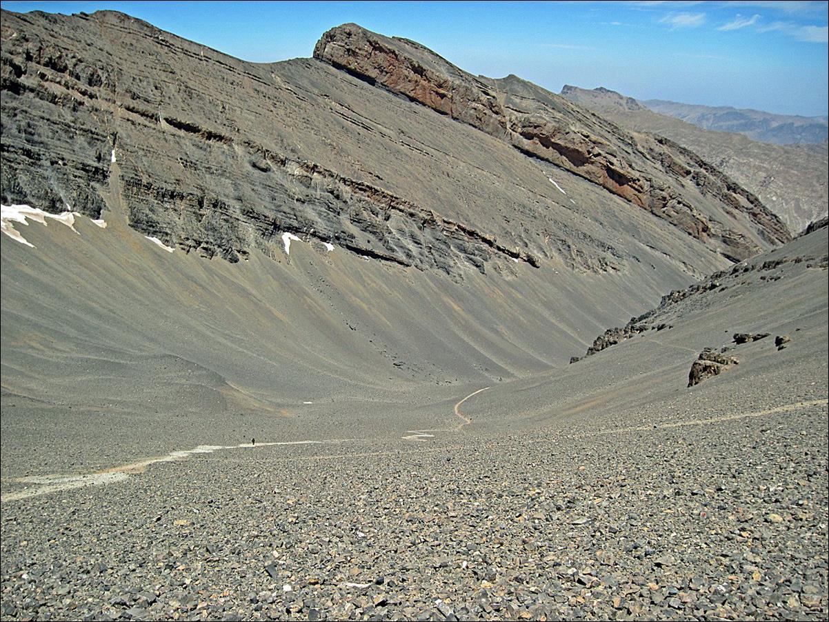
Approaching Assif Oulimlimt.
|
|
|
Reaching Assif Oulimlimt.
Assif Oulilimt.
|
|
|
|
Our fourth camp near Assif
Oulilimt.
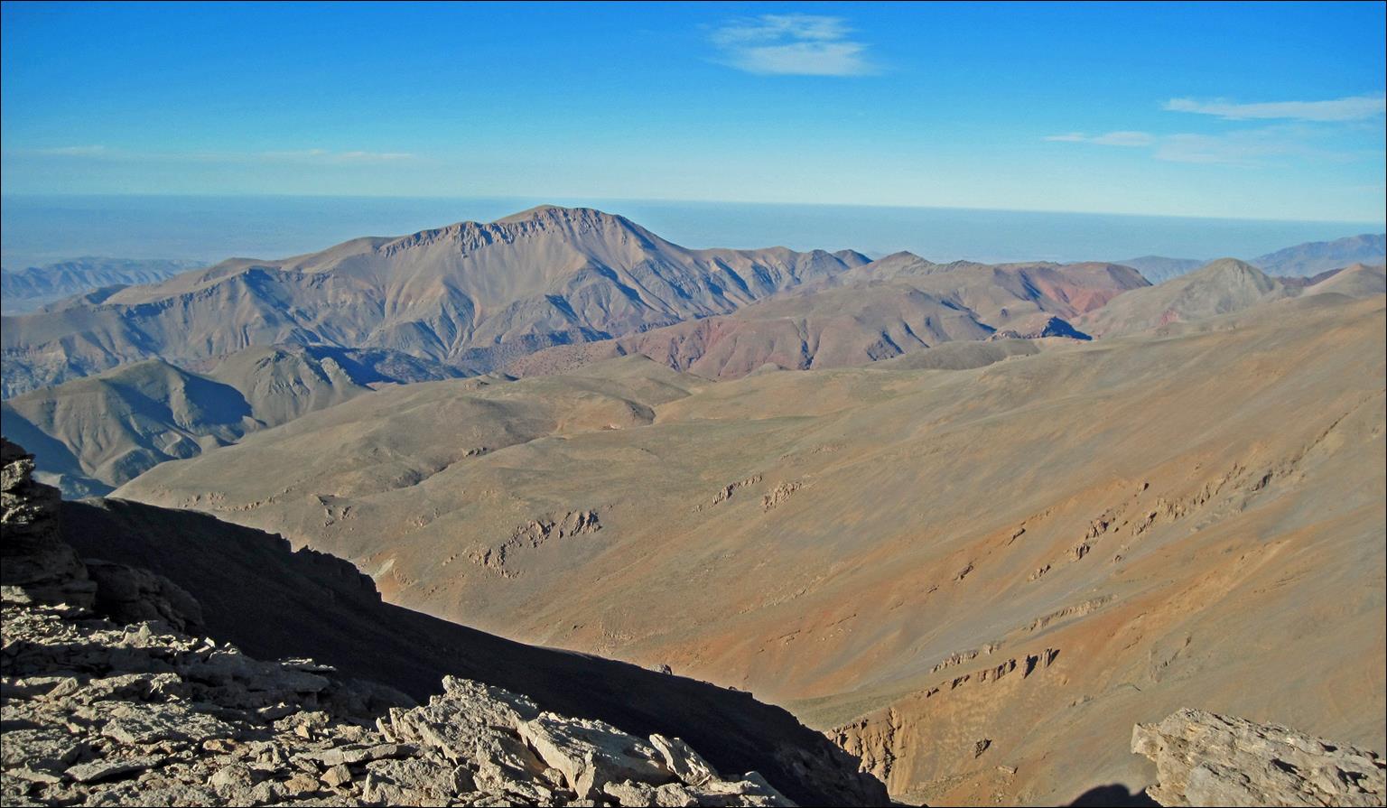
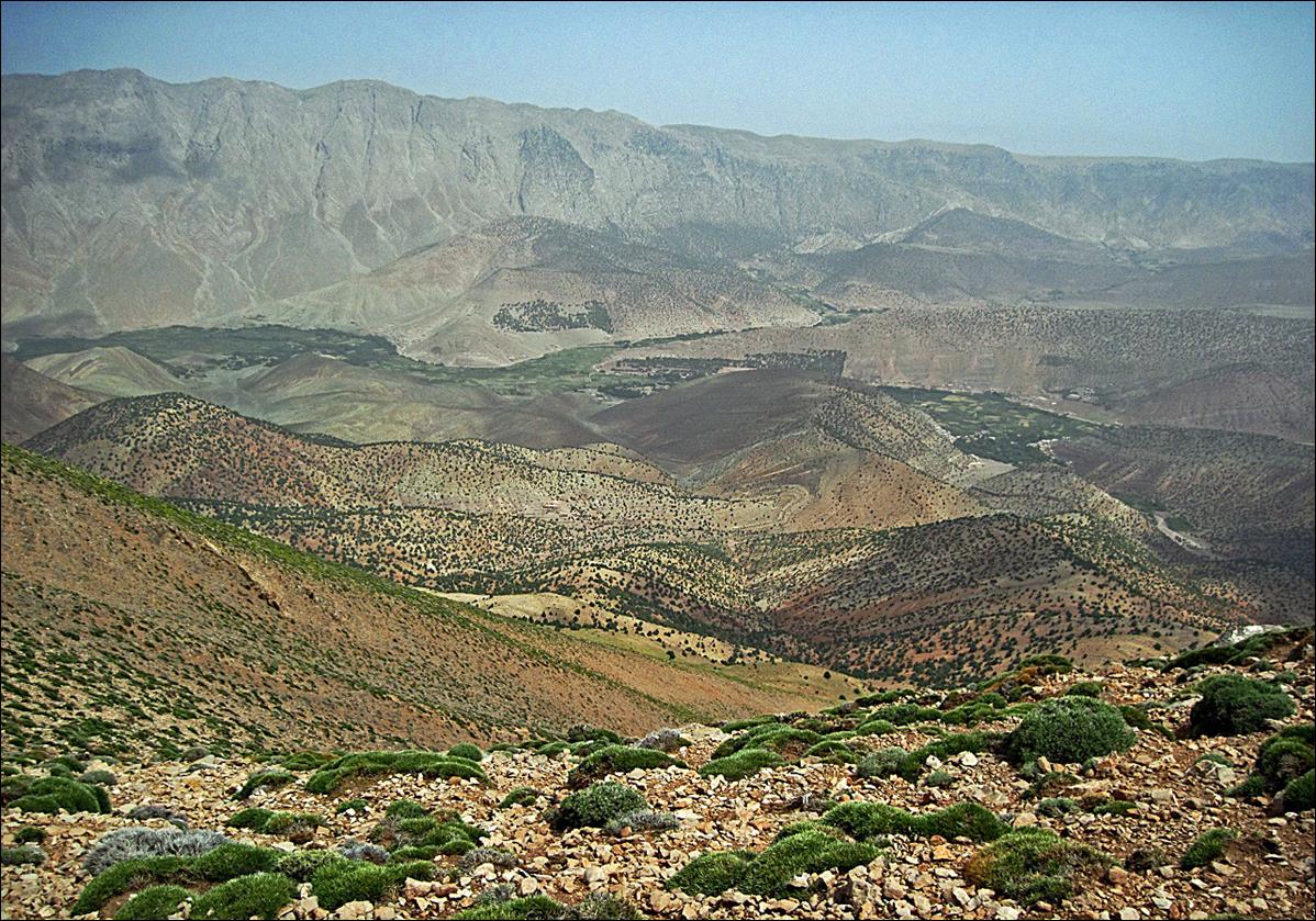
View of Oumsoud (peak on
the left above the snow patches). The descent path from Oumsoud lies in the
hidden canyon in the middle of the picture.
Nomad camp below Ighil-n-Igoudamene.
View of the Assif Arous
valley and Tizi
Asdremt-n-Ait Bou Oulli.
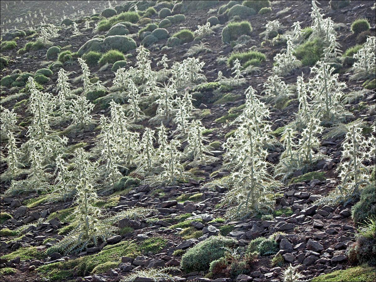
Thistles.
View
over the Ait Bouguemez valley from the ridge of Ighil-n-Igoudamene.
![]()