Chile (July-August 2015): Volcan Colorado and Geysers del Tatio
![]()
Return to main Chile 2015 webpage
|
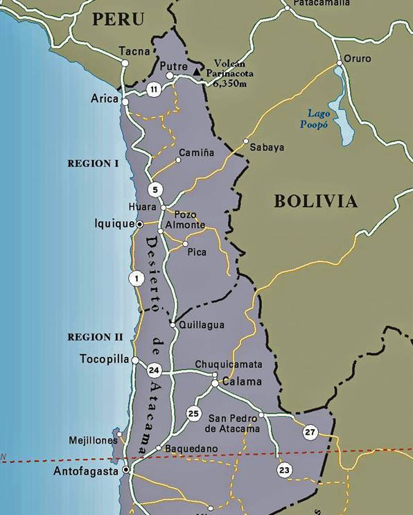
Northern Chile: |
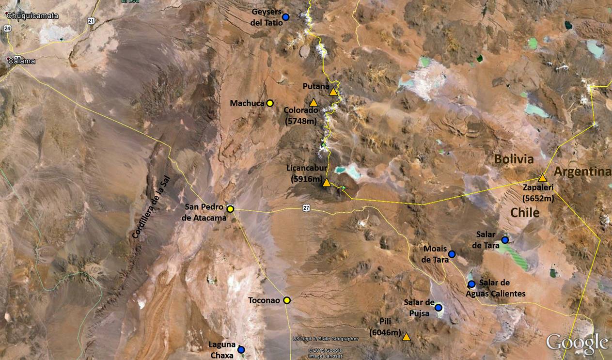
Annotated satellite view of the region around San Pedro de Atacama: |
|
|
|
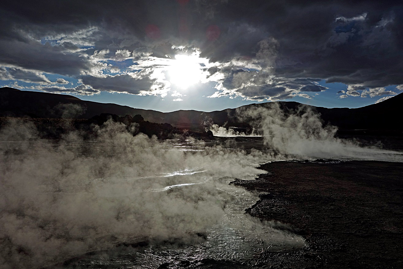
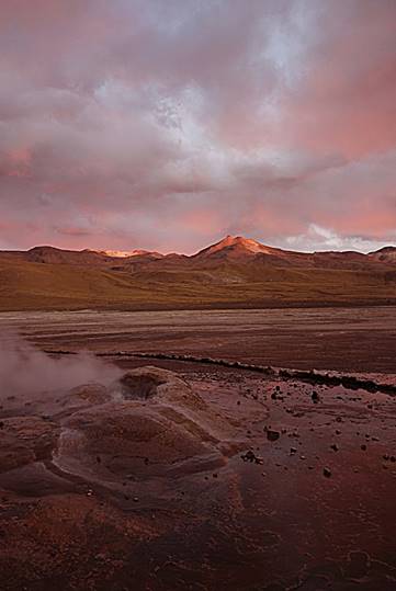
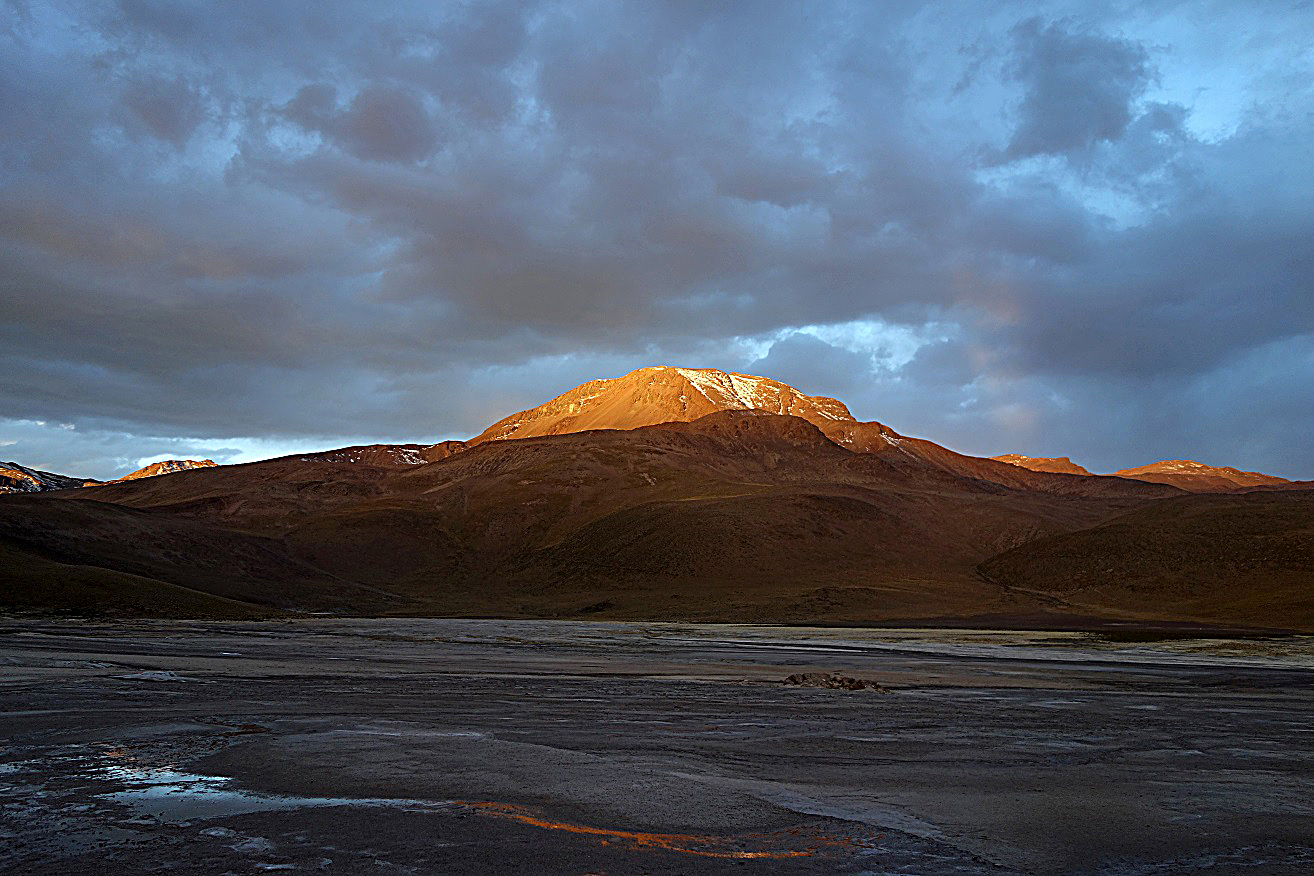
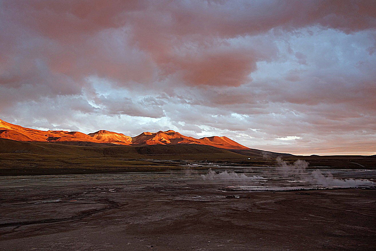
The day after my arrival in San Pedro de Atacama, Pablo and I went climbing Cerro Colorado (5748m), a volcano located about 40 km north-east of San Pedro and 7 km west of the border with Bolivia. We drove to the north side of the volcano and started climbing at 4900m. The climb is technically easy but strenuous, as the rather steep terrain is made of soft sand covered by small and medium-size rocks sliding down at every step. After several of hours of climbing I felt quite tired and I eventually gave up around 5500m. The weather, which had been good so far, though cold, became cloudy during the descent. We then drove to the geyser field of El Tatio located further north that we reached later in the afternoon. The El Tatio field lies at 4300m and has over 80 active geysers that create columns of steam in the early morning and late afternoon when the air is colder. It is a major tourist attraction in the region of San Pedro, but there was not a single tourist (other than me) during our visit. It seems that they all come in the morning. The geysers are rather small and not very impressive. Fortunately, in part because of to the cloudy sky, the evening light was particularly beautiful, with intense orange and red colors at sunset. We spent the night at the refuge of El Tatio and returned to San Pedro the next day.
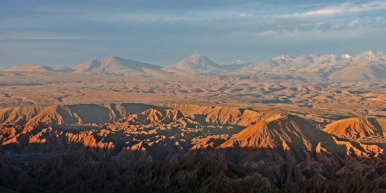
Cerro Colorado seen from Cordillera de la Sal (the cone in the middle of the photo). I took this photo a couple of days later.
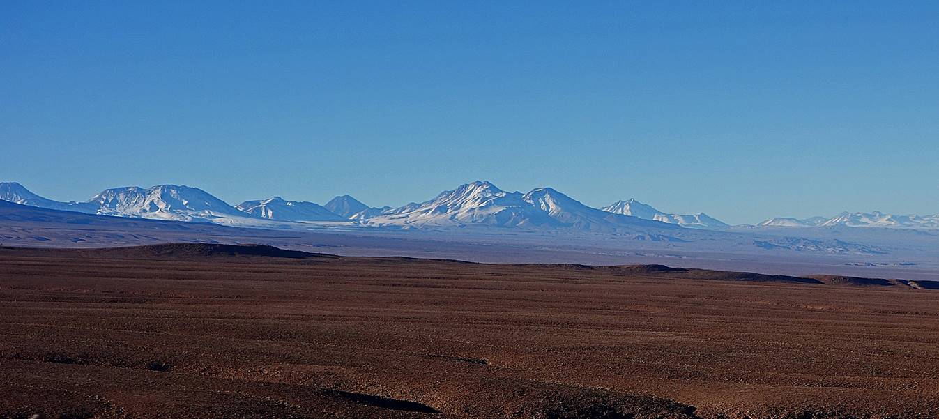
View over the Central Cordillera soon after we left San Pedro.
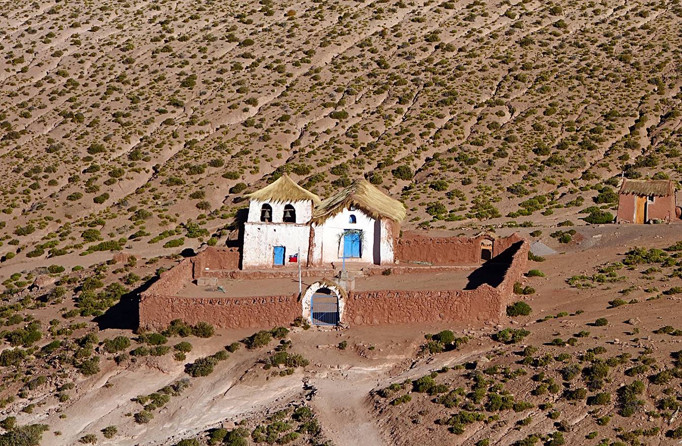
Church in the small village of Machuca, which we passed by on our way to Cerro Colorado
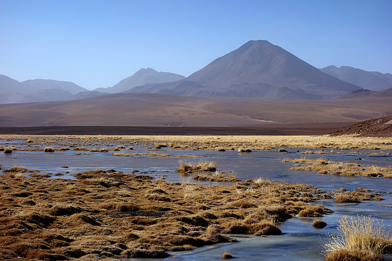
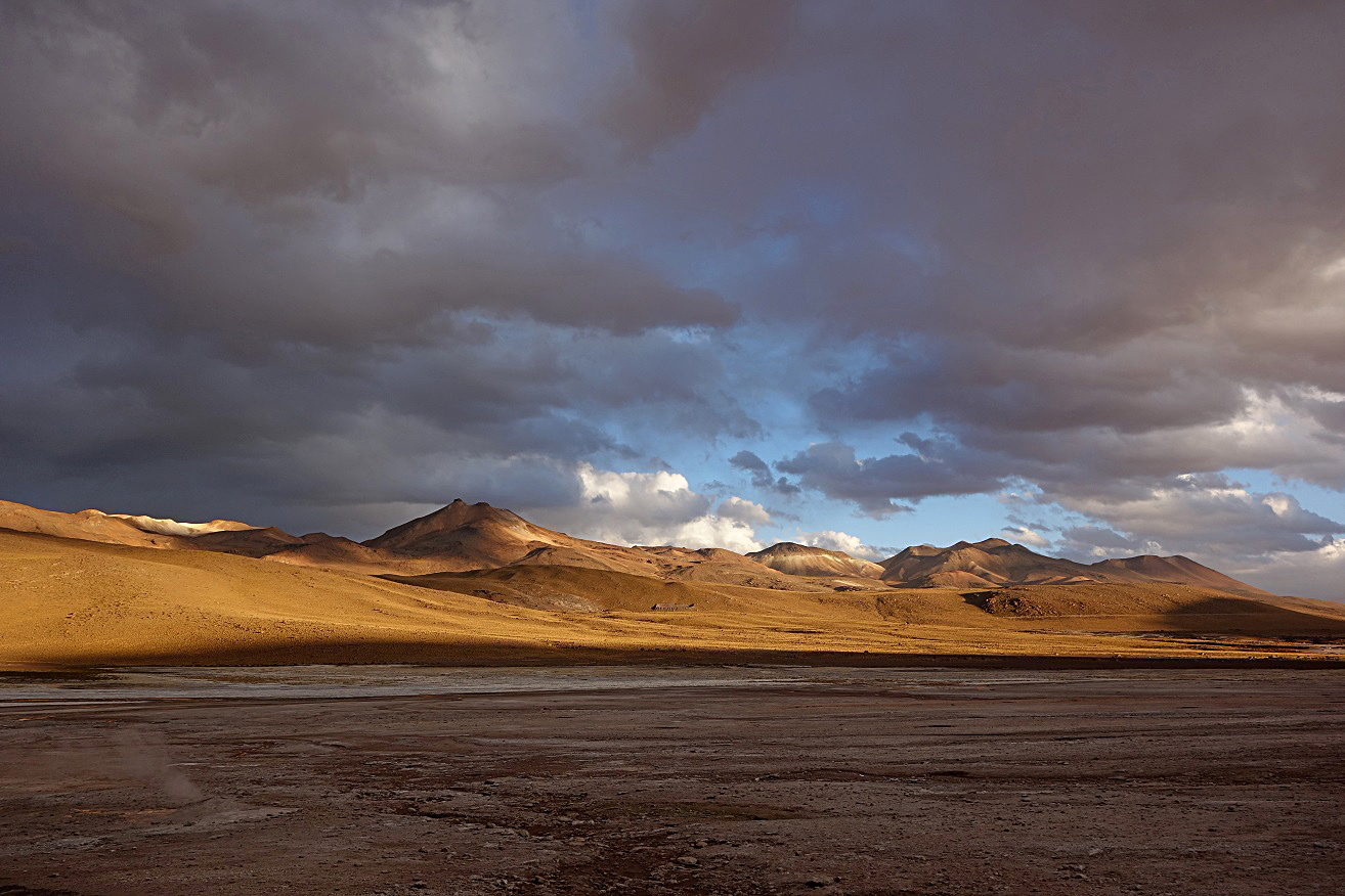
Cerro Colorado seen from the bodefal Vado de la Putana
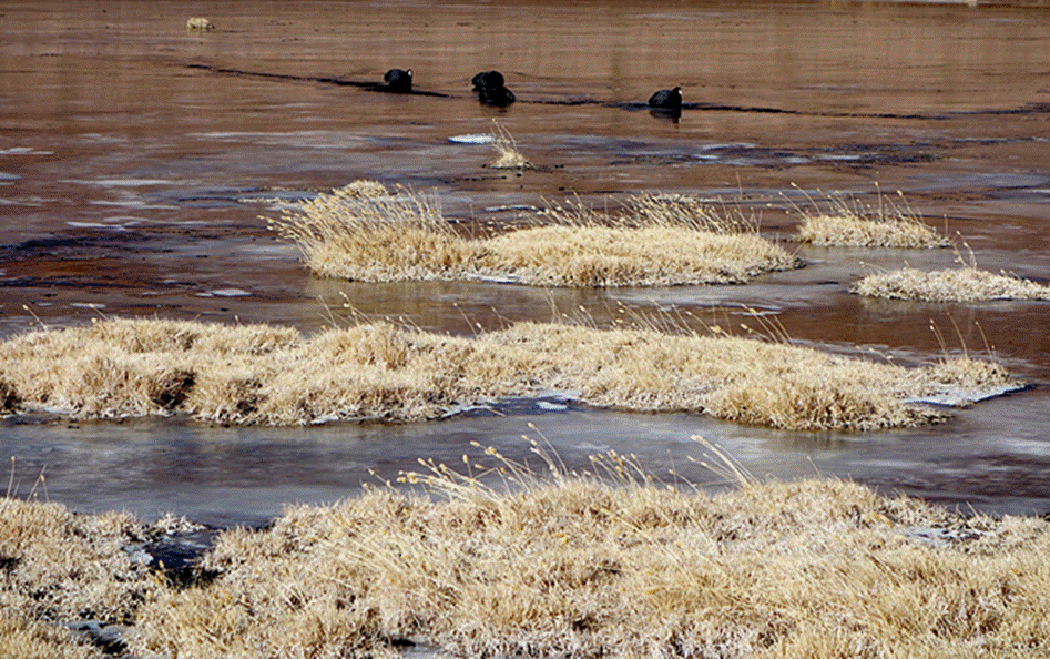
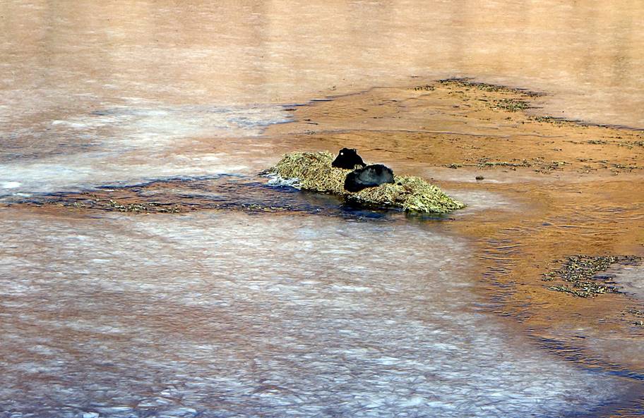
Gigante taguas (coots) on the icy bodefal Vado de la Putana.
|
|
|
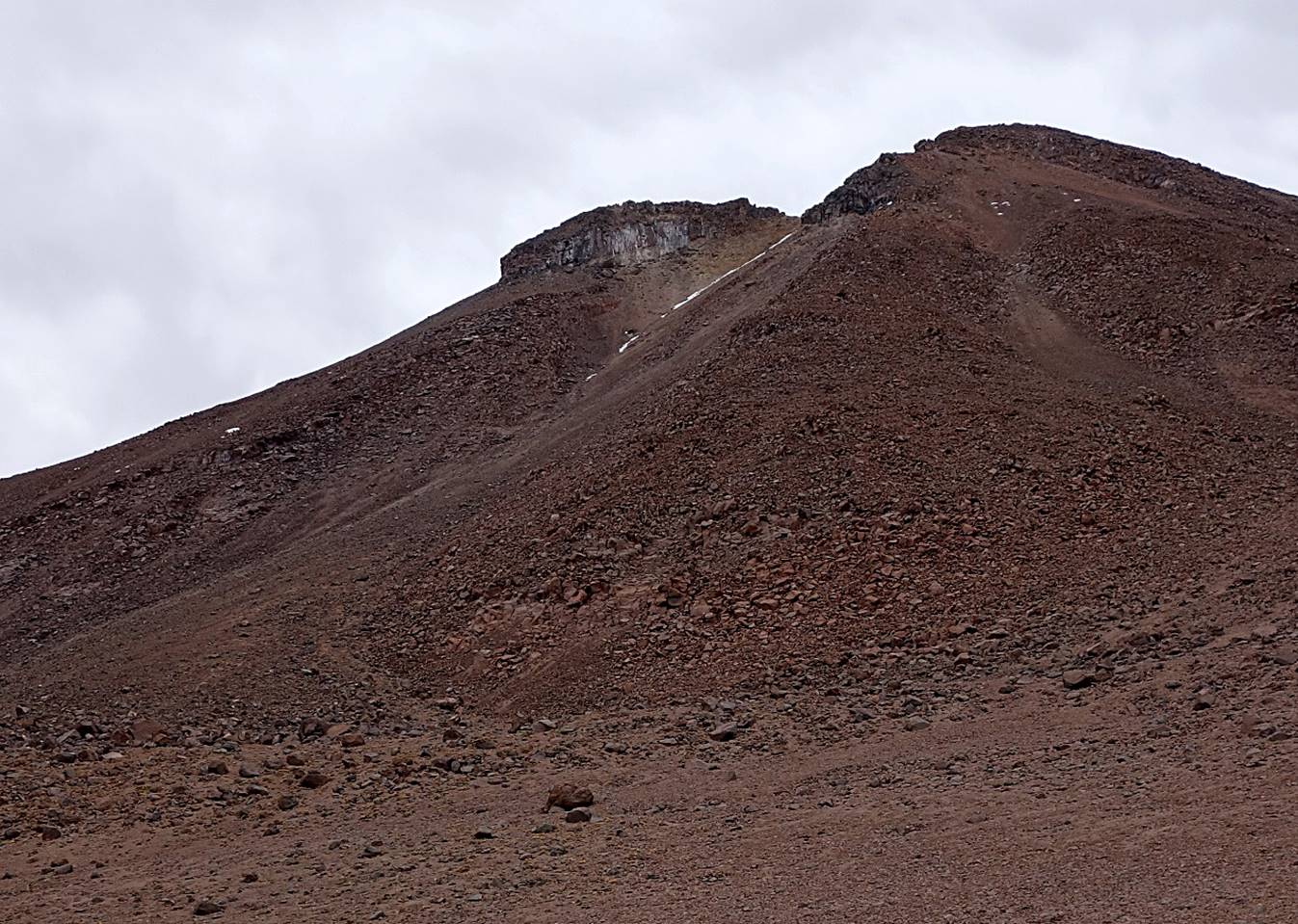
At the start of the ascent of Cerro Colorado.
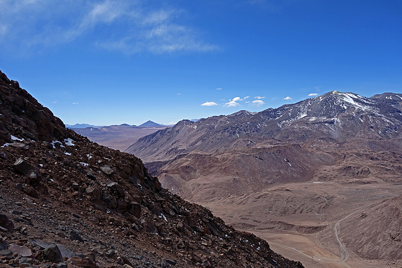
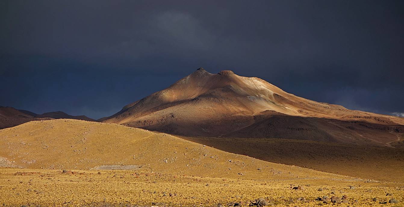
View of Cerro Putana, a volcano on the border between Chile and Bolivia, during the ascent. Its crater emits jets of steam with sulfurous fumes. Our car is the black dot on the roadside on the left of the 90-dg turn.
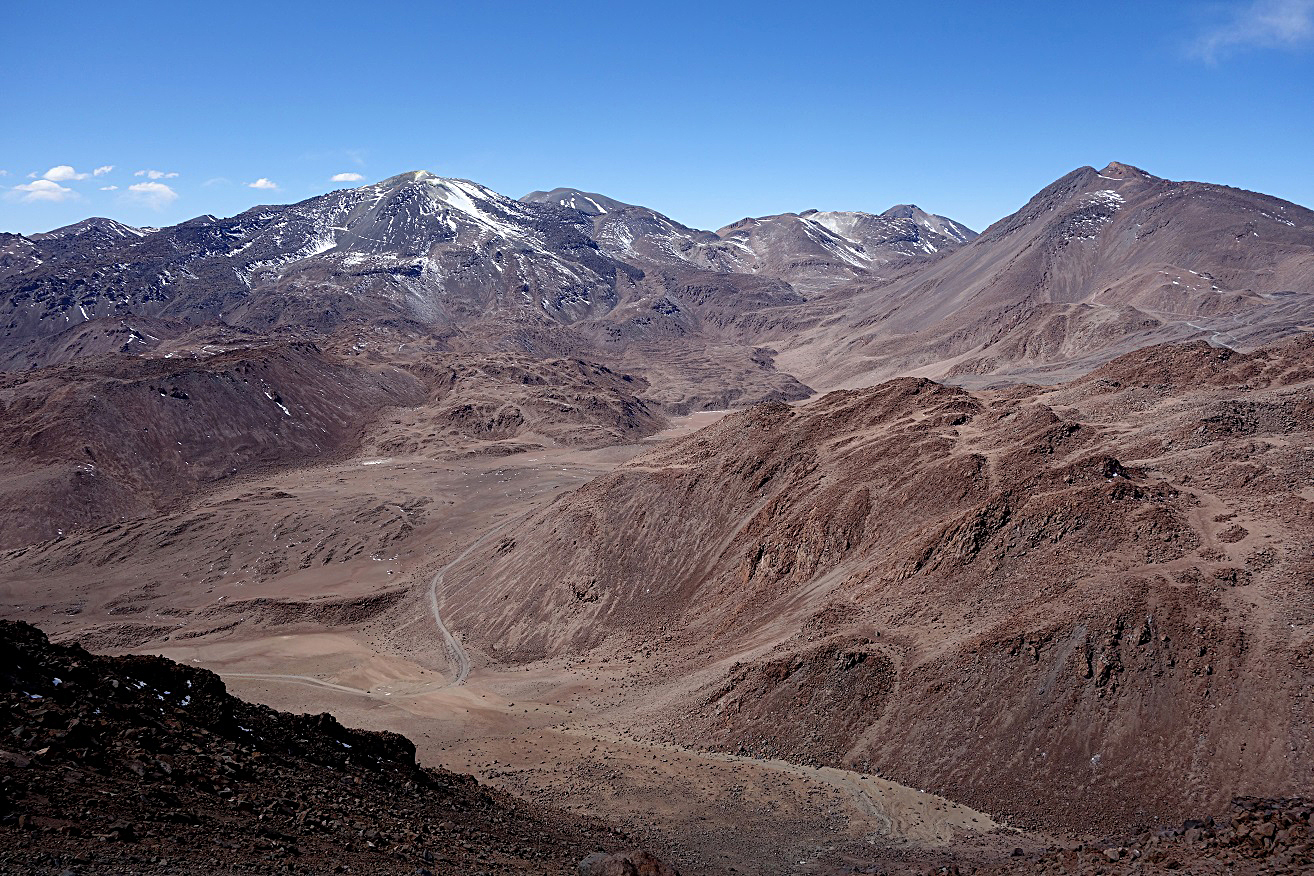
View from the point where I stopped climbing, with Cerro Putana on the right.
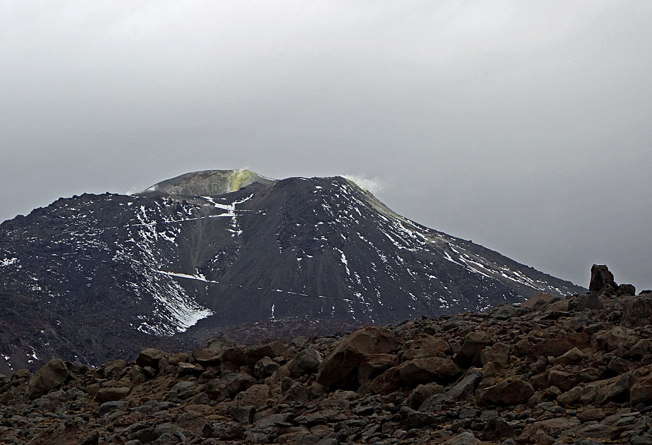
Another view of Cerro Putana, clearly showing the sulfurous fumes. The old zig-zagging road was used to mine rocks from the crater.
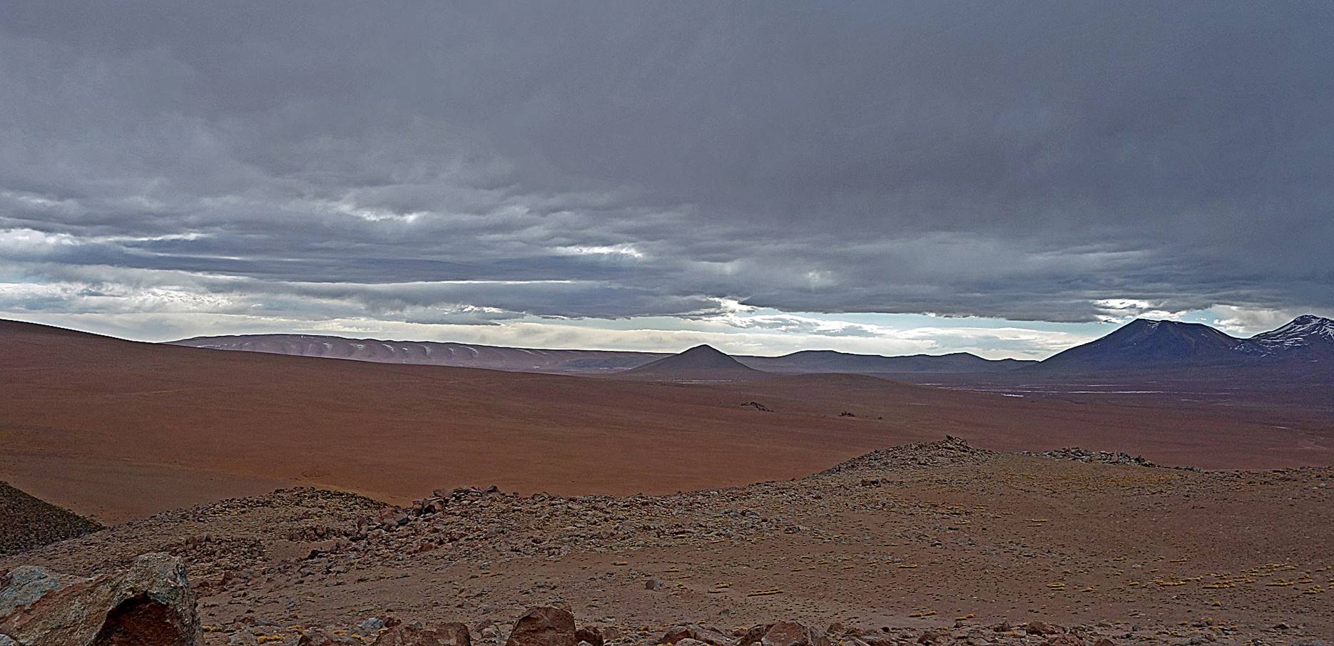
Pictures of the Altiplano on our way to El Tatio geysers.

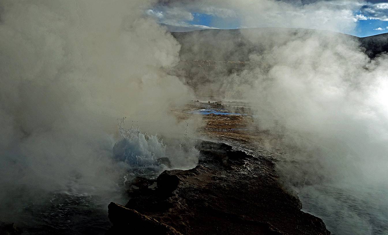
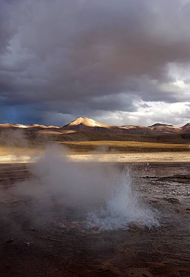
Columns of steam over the geyser field of El Tatio.
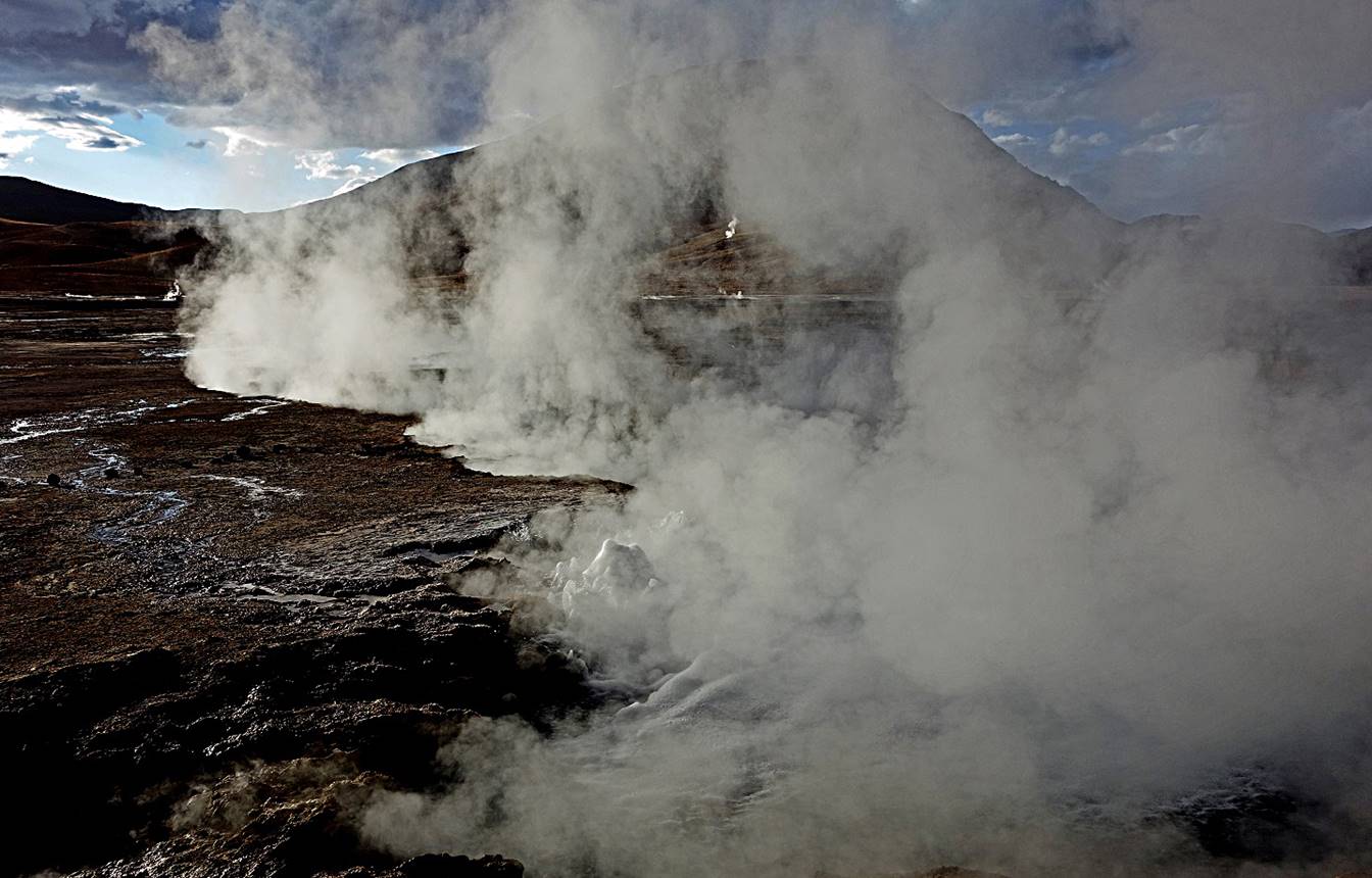
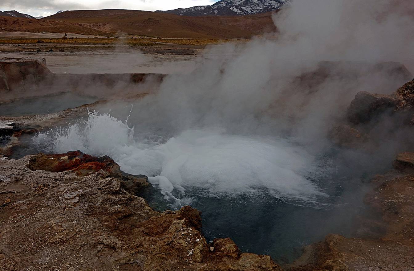
Some of the geysers.
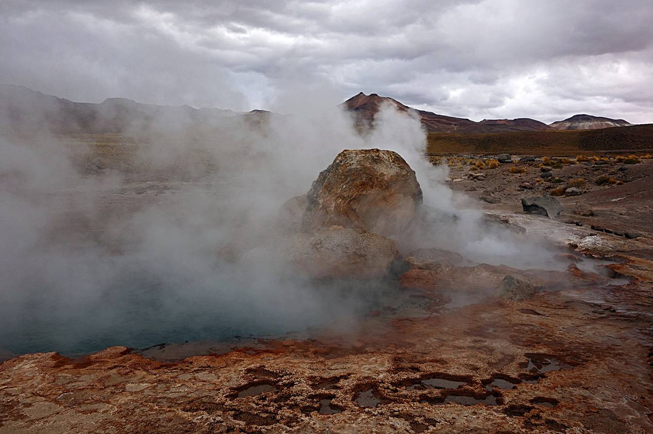
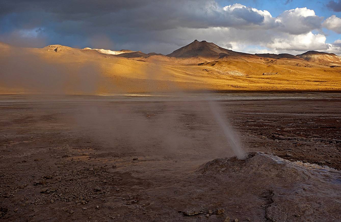
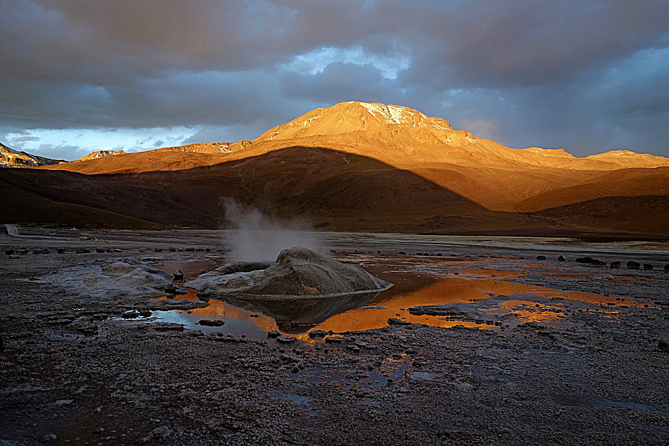
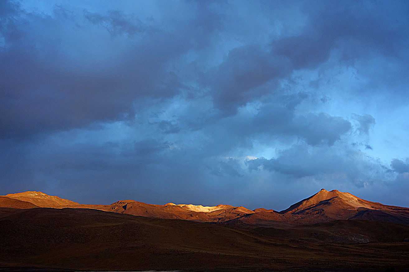
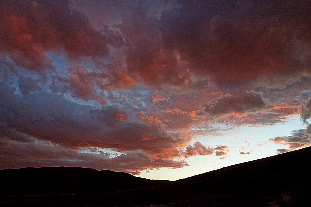
Evening colors over the geysers...
|
|
|
|
|
|
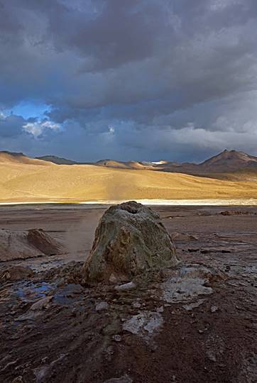
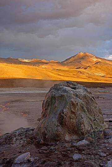
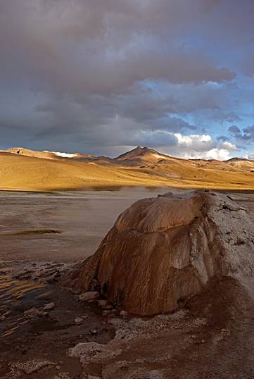
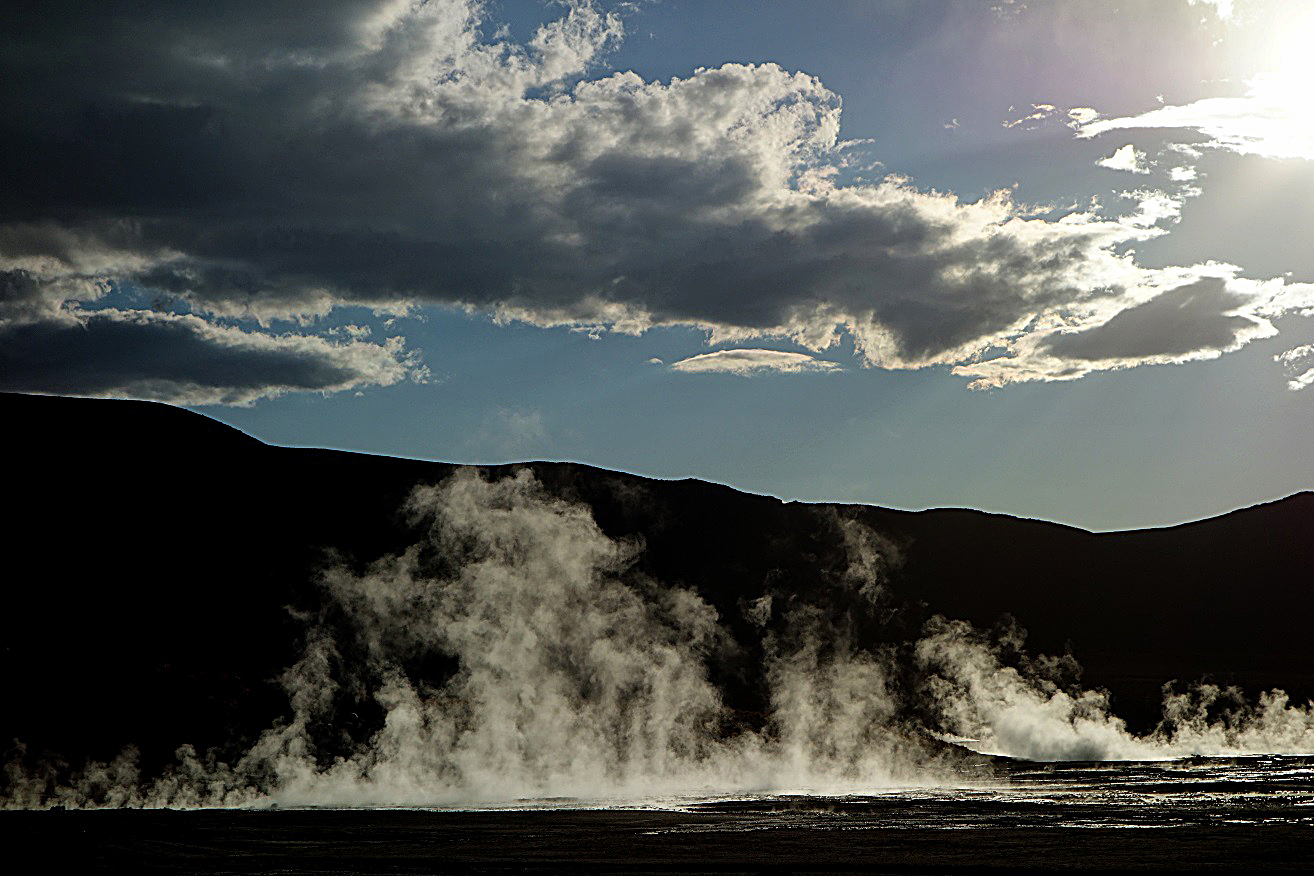
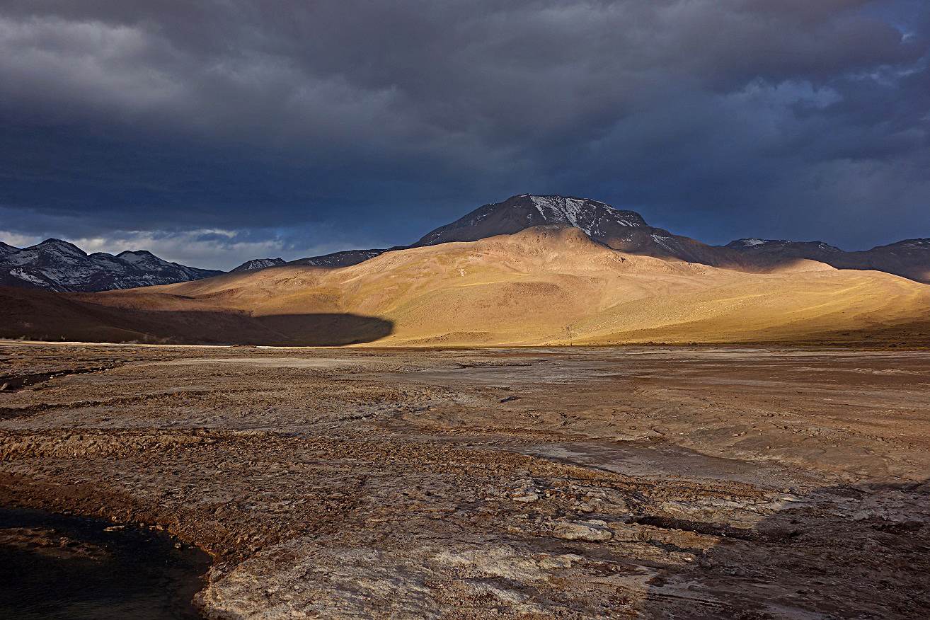
...and over the surrounding mountains.
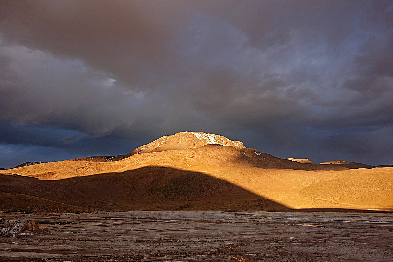
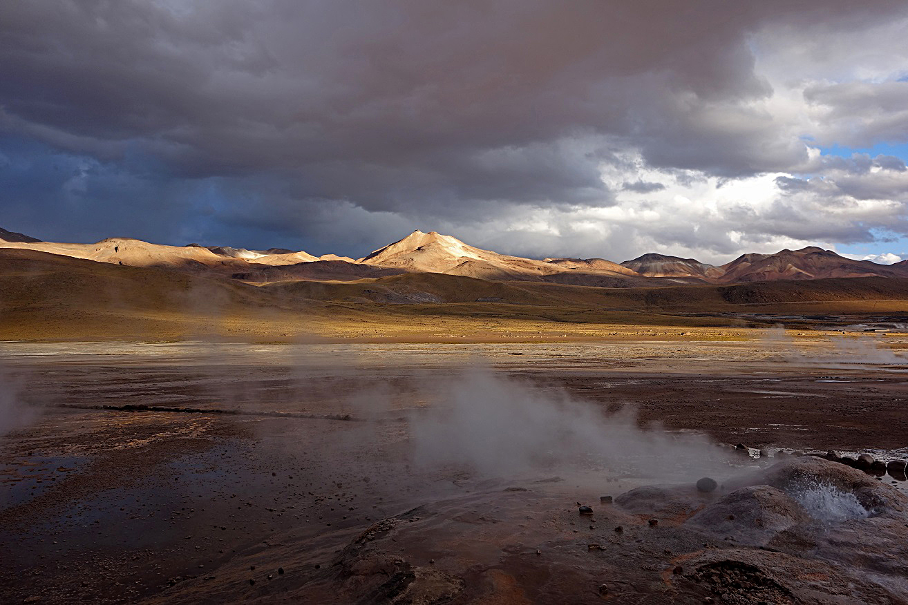
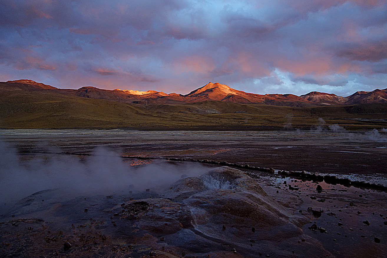
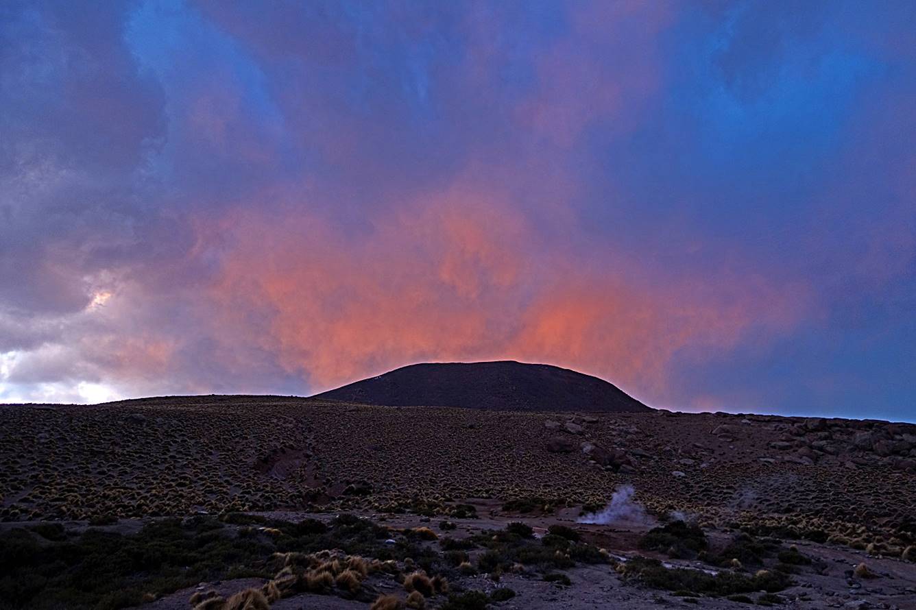
Two more photos before night set in.
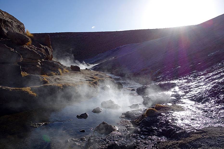
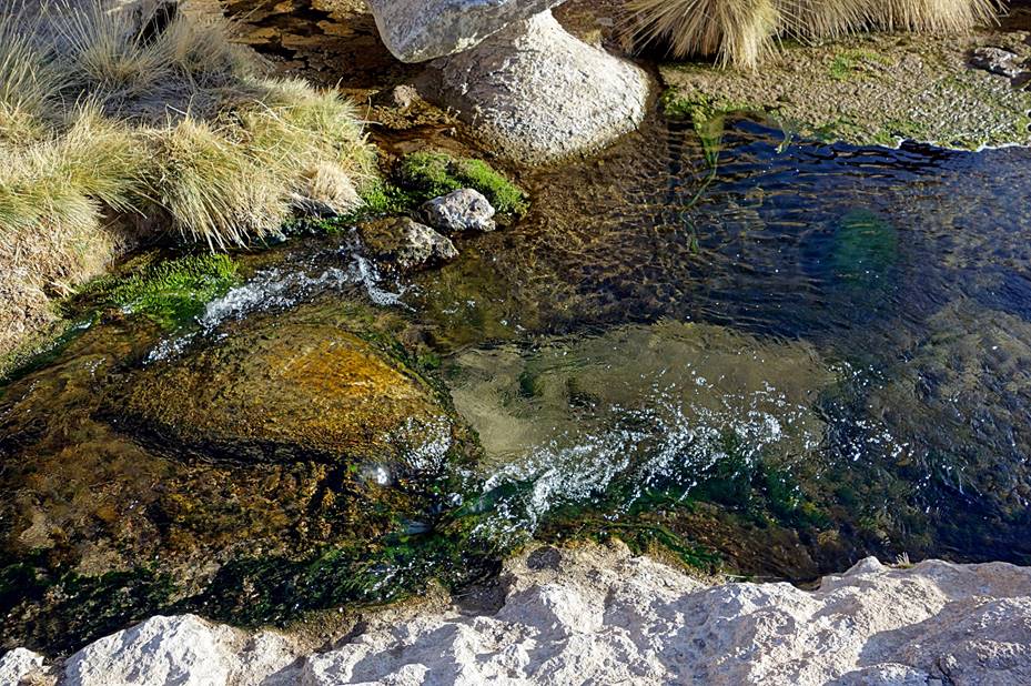
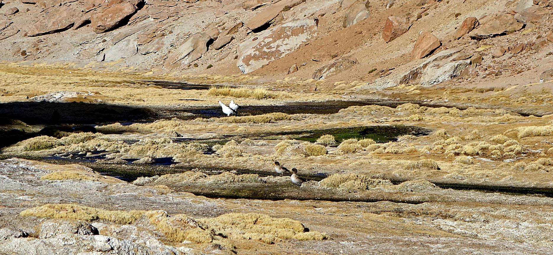
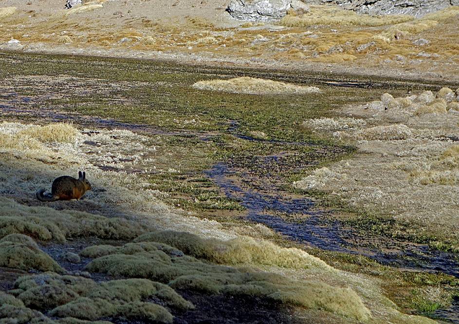
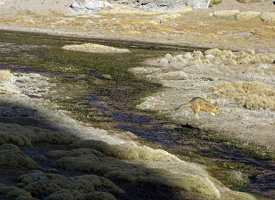
On the next morning, on our way back to San Pedro, we stopped at a small hot spring a few kilometers south of the geysers. The area around it hosts a rather large amount of wildlife.
|
|
|
Vizcacha jumping over a stream.
|
|
|
![]()