Chile (July-August 2015): Cordillera de la Sal
![]()
Return to main Chile 2015 webpage
|
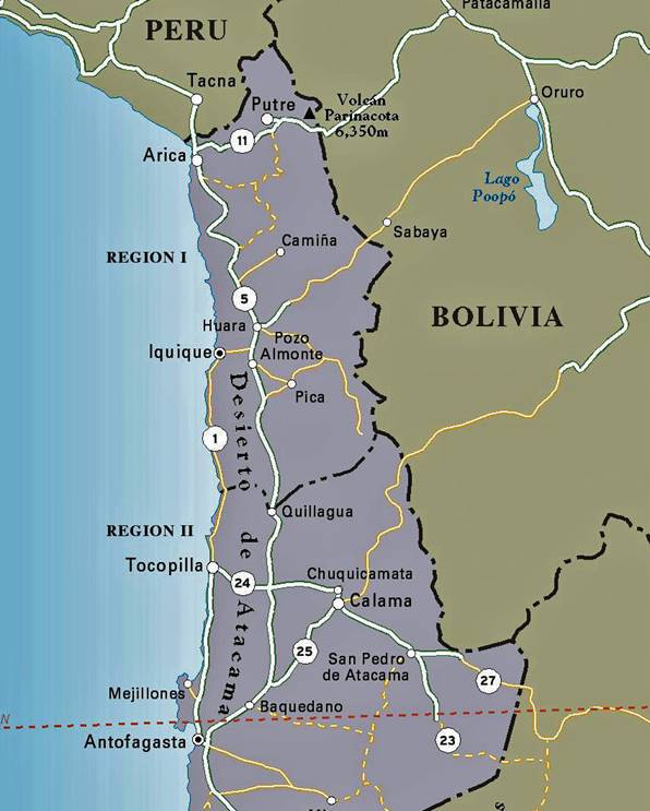
Northern Chile: |
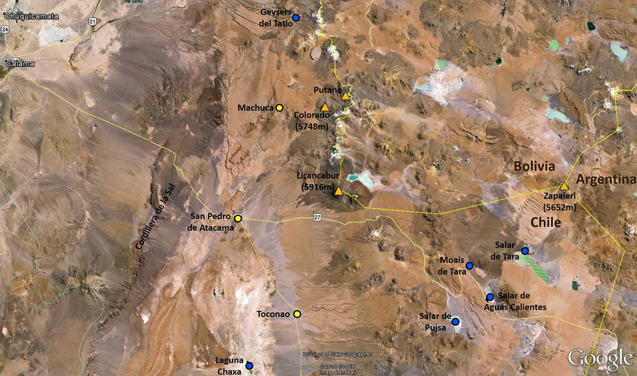
Annotated satellite view of the region around San Pedro de Atacama: |
|
|
|
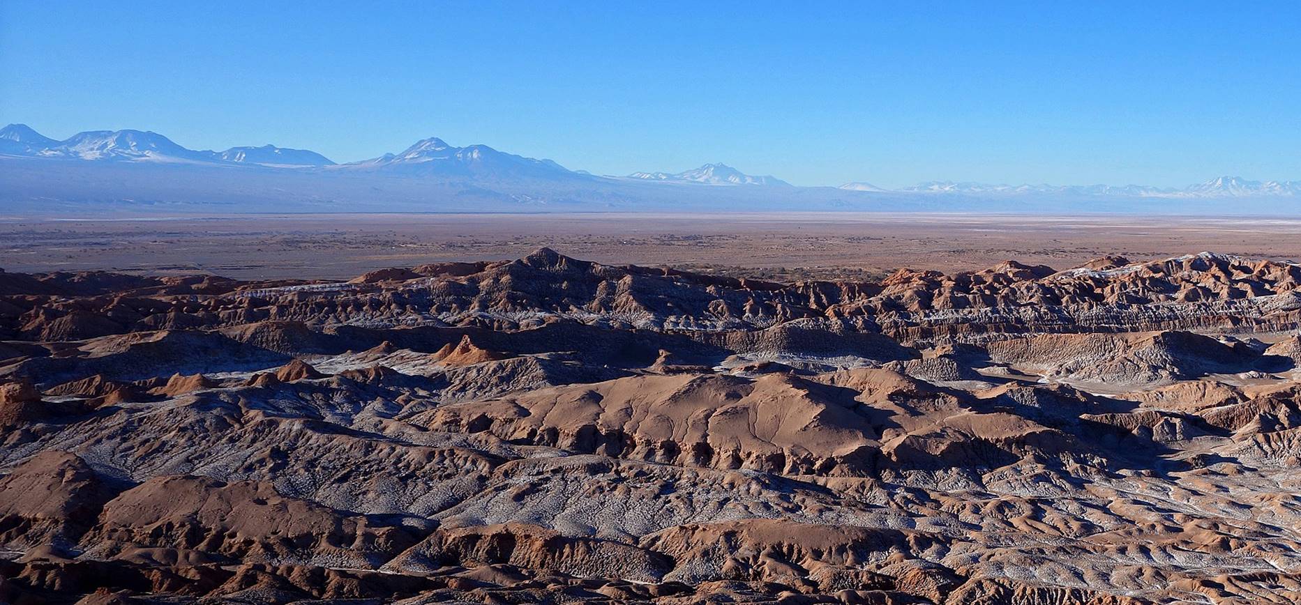
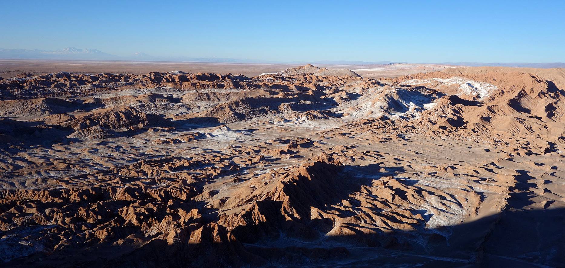
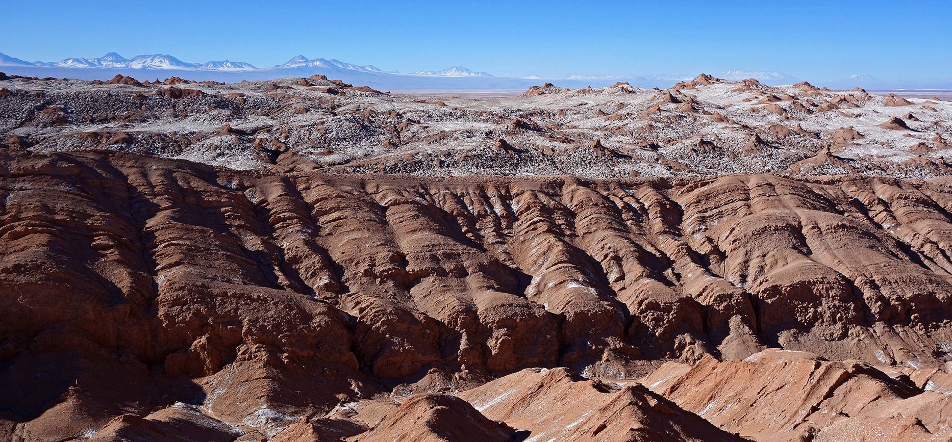
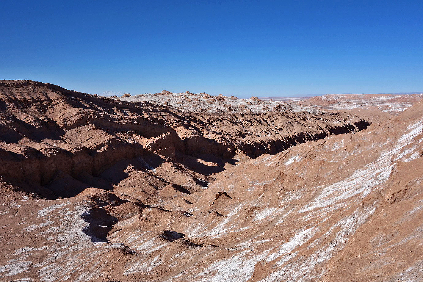
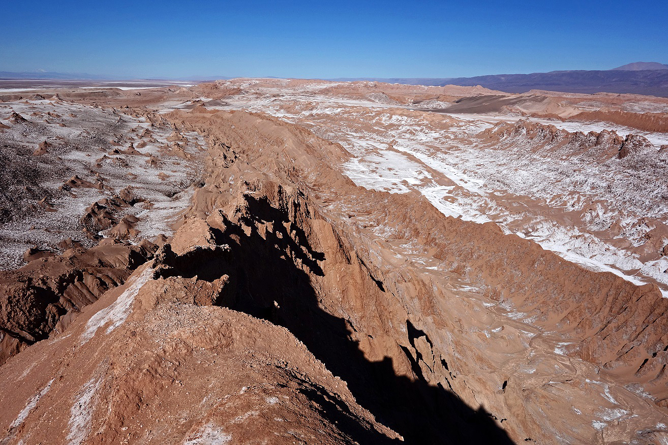
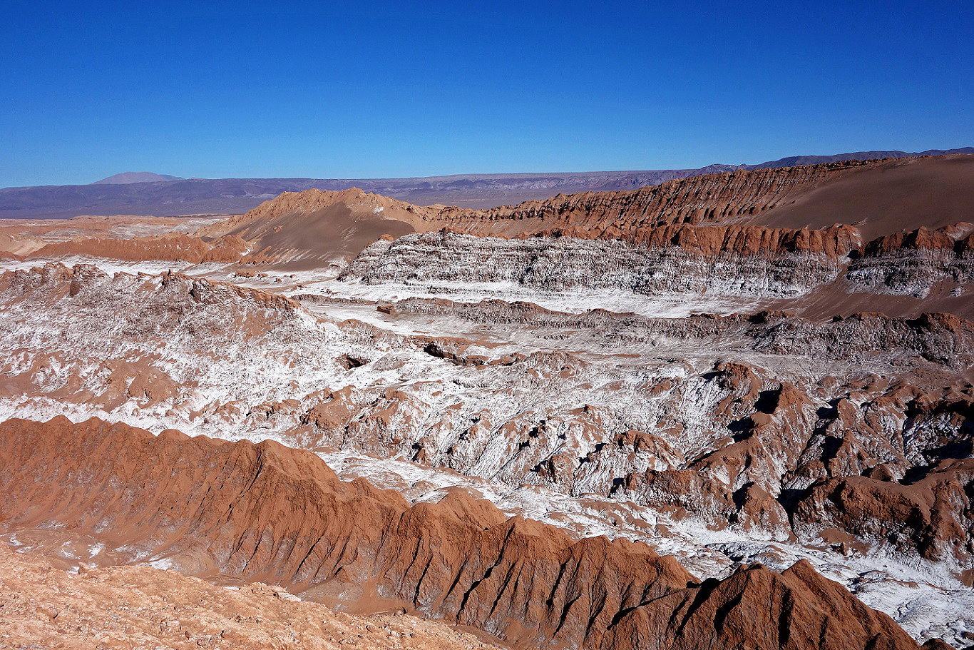
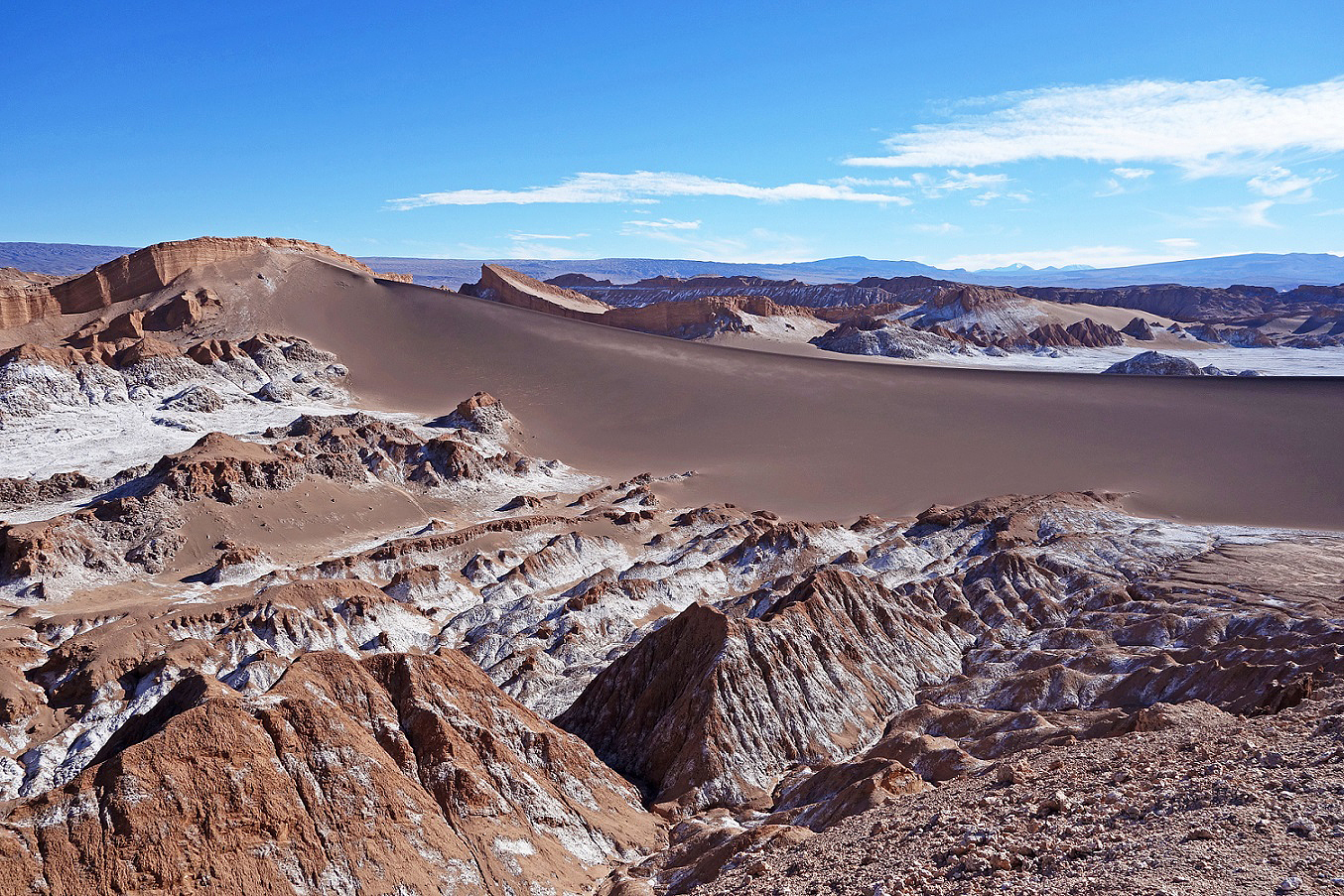
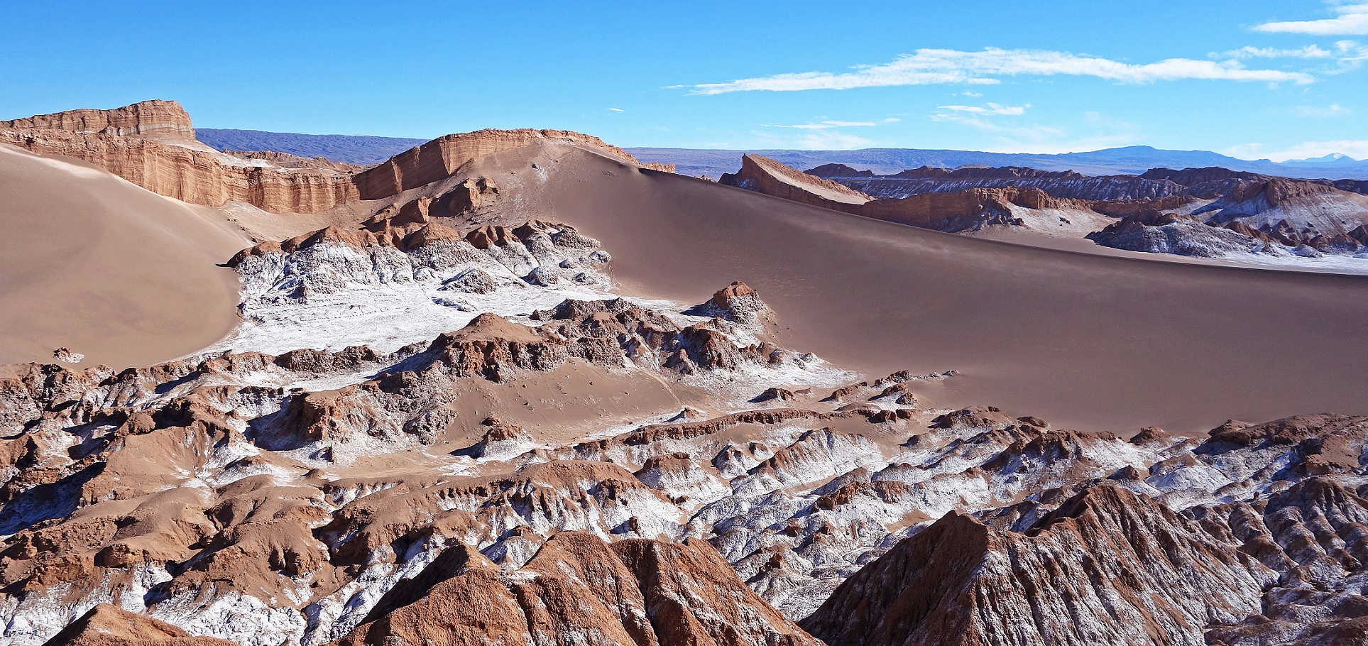
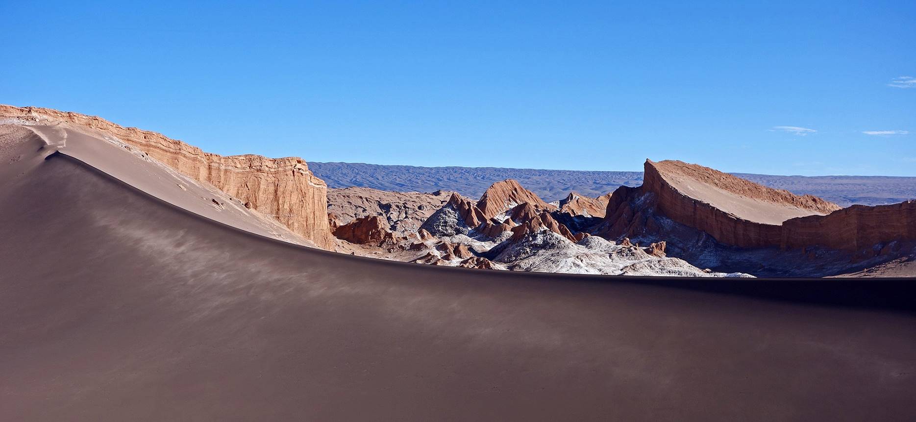
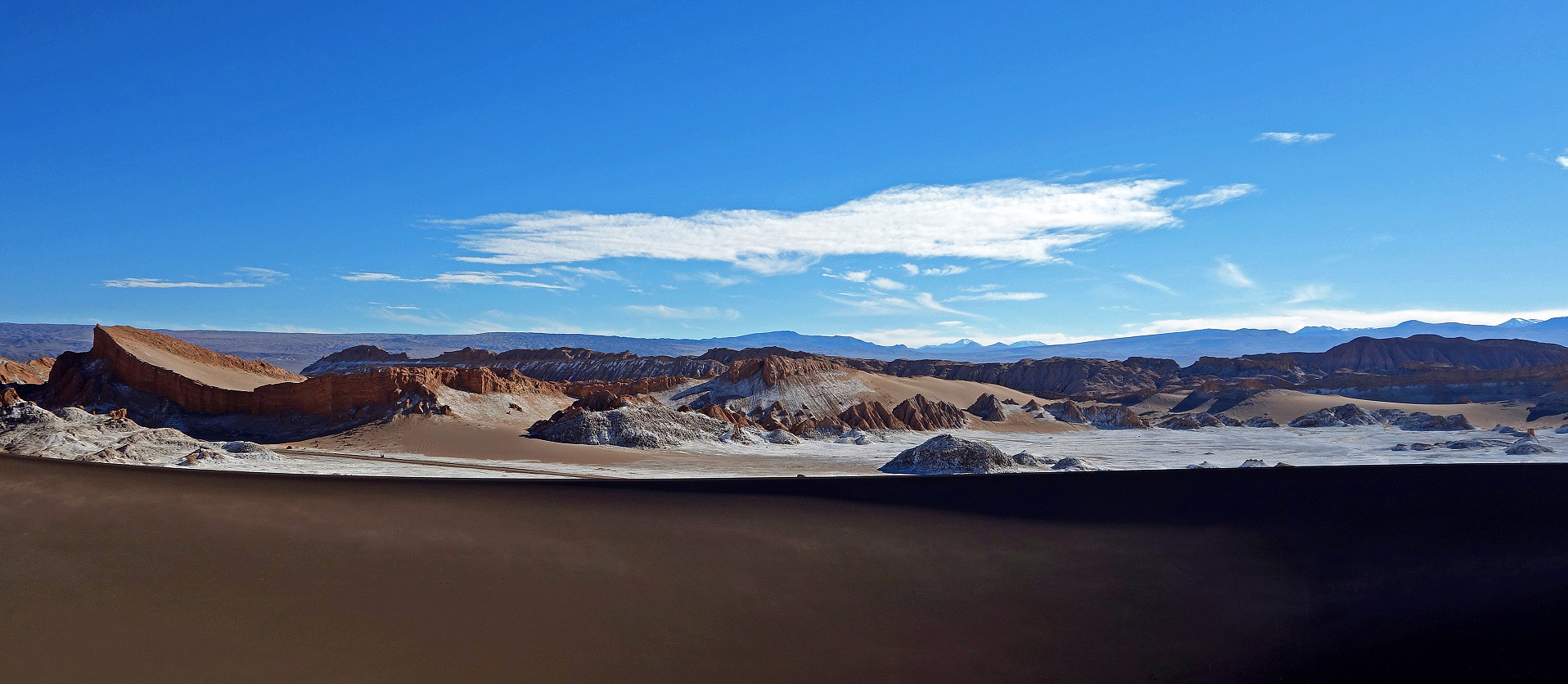
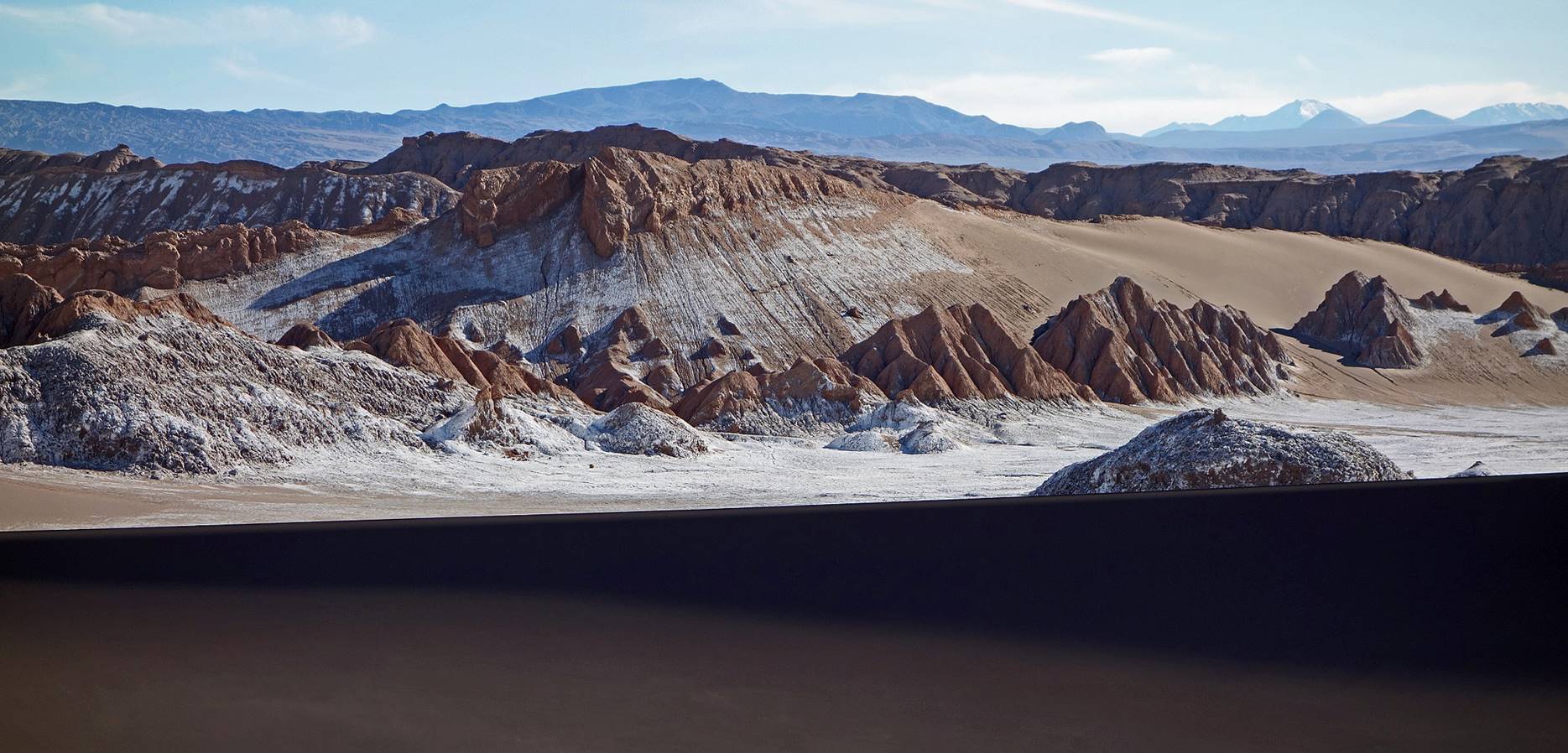
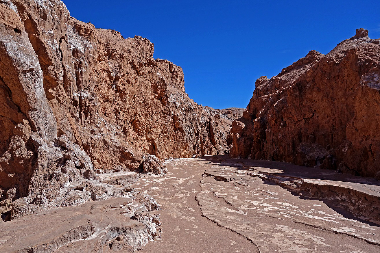
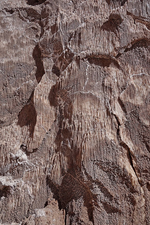
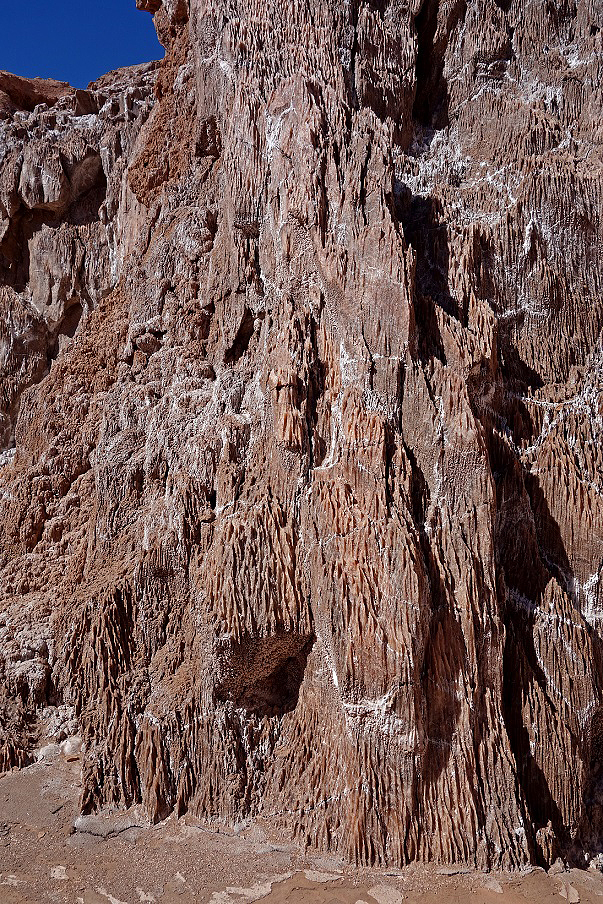
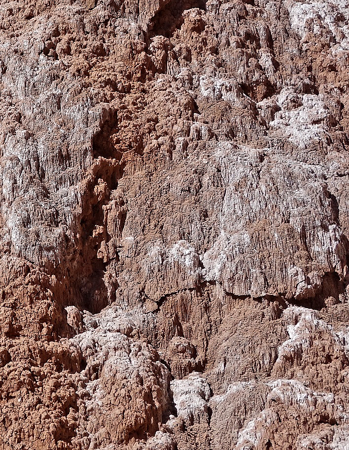
The Cordillera de la Sal is a low ridge oriented NNE on the western side of the Salar de Atacama. It rises 200m above the salar and is approximately 180km-long and 10-to-20km-wide. Millions of years ago it was a salt lake that went raising by being squeezed between the Cordillera Domeyko on the west and the High Cordillera on the east. Folding and successive fractures led to a complex set of stratifications. Because of the high saline content of its soil the cordillera seems permanently dusted by snow.
On the edge of the Cordillera de la Sal near the Salar de Atacama basin, with the High Cordillera in the back on the other side of the basin.
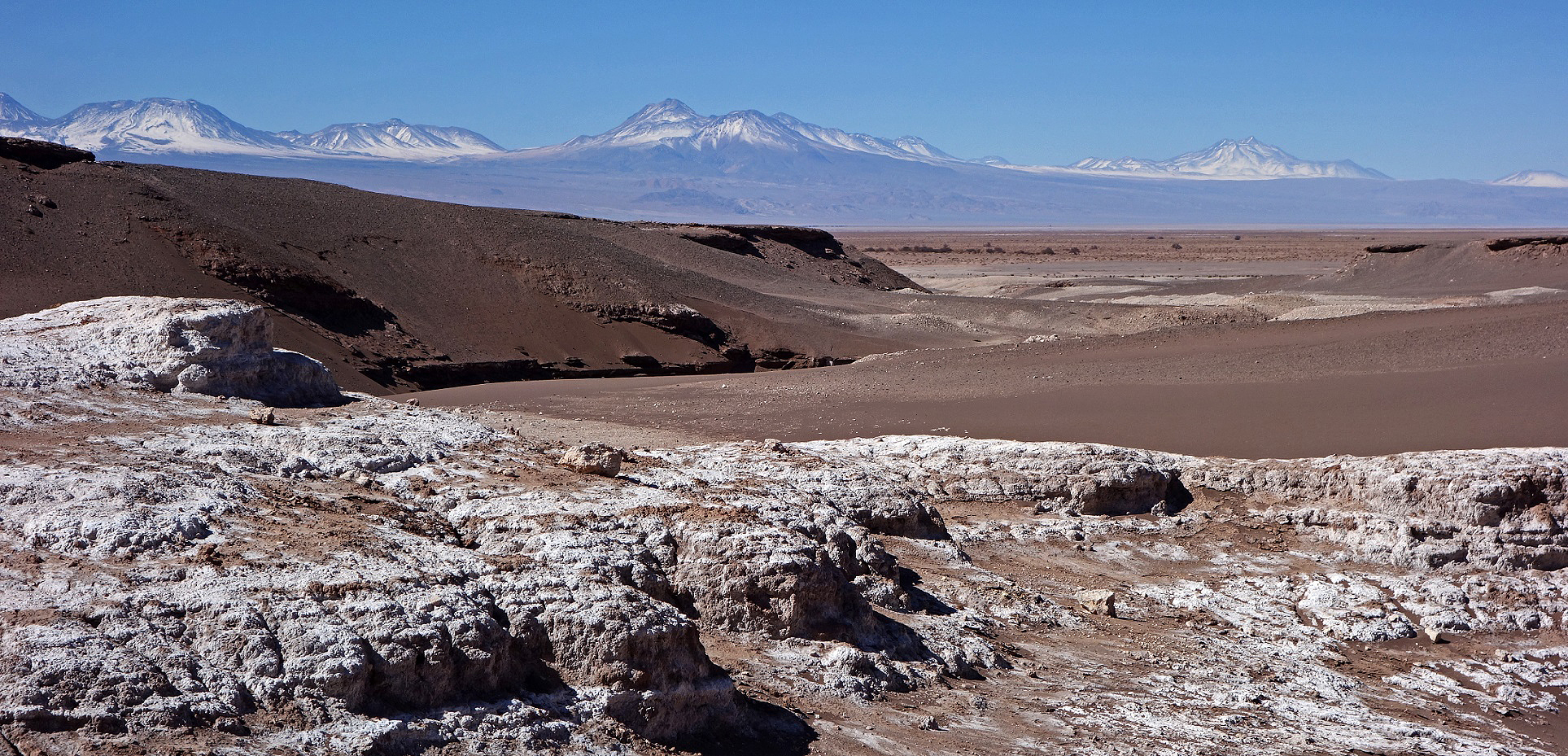
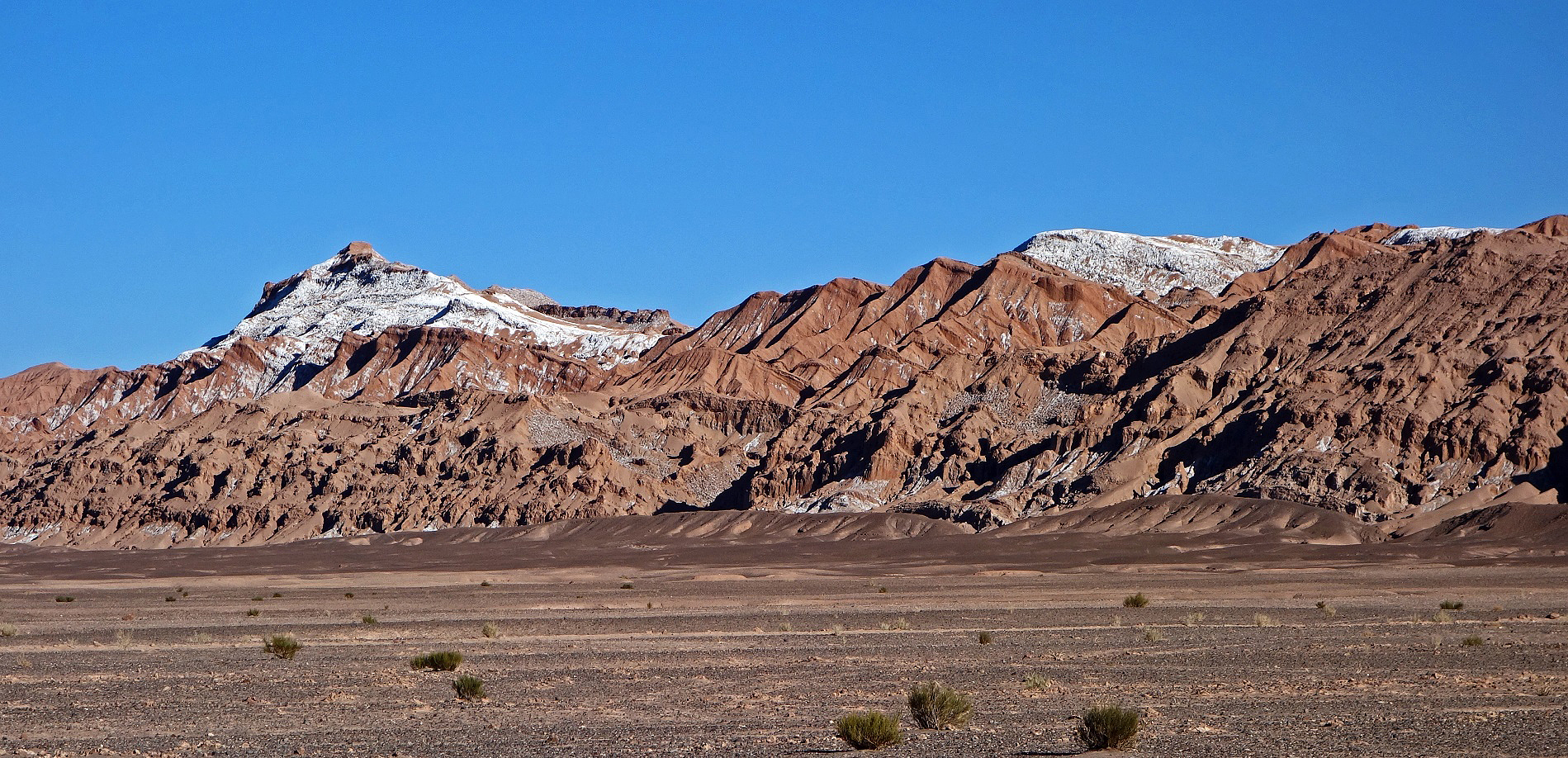
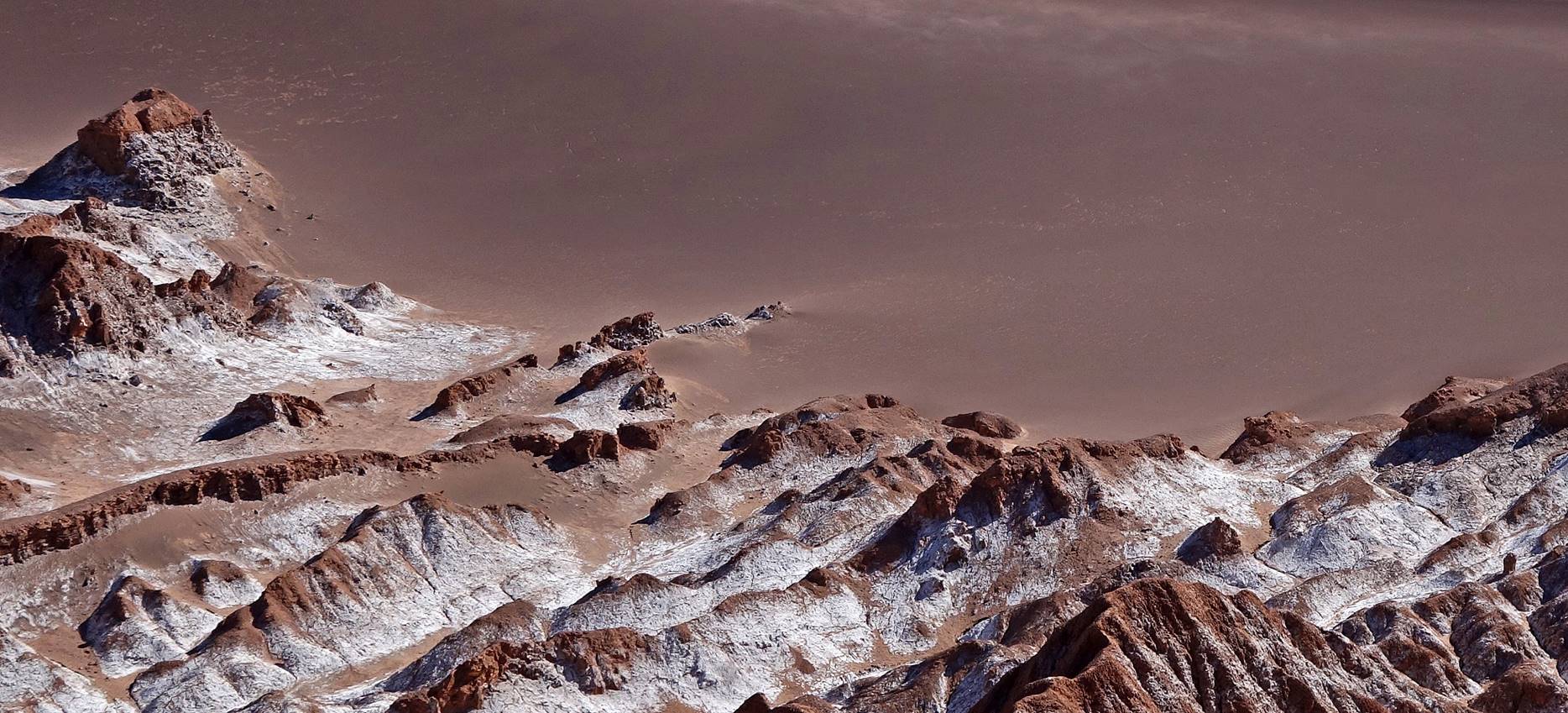
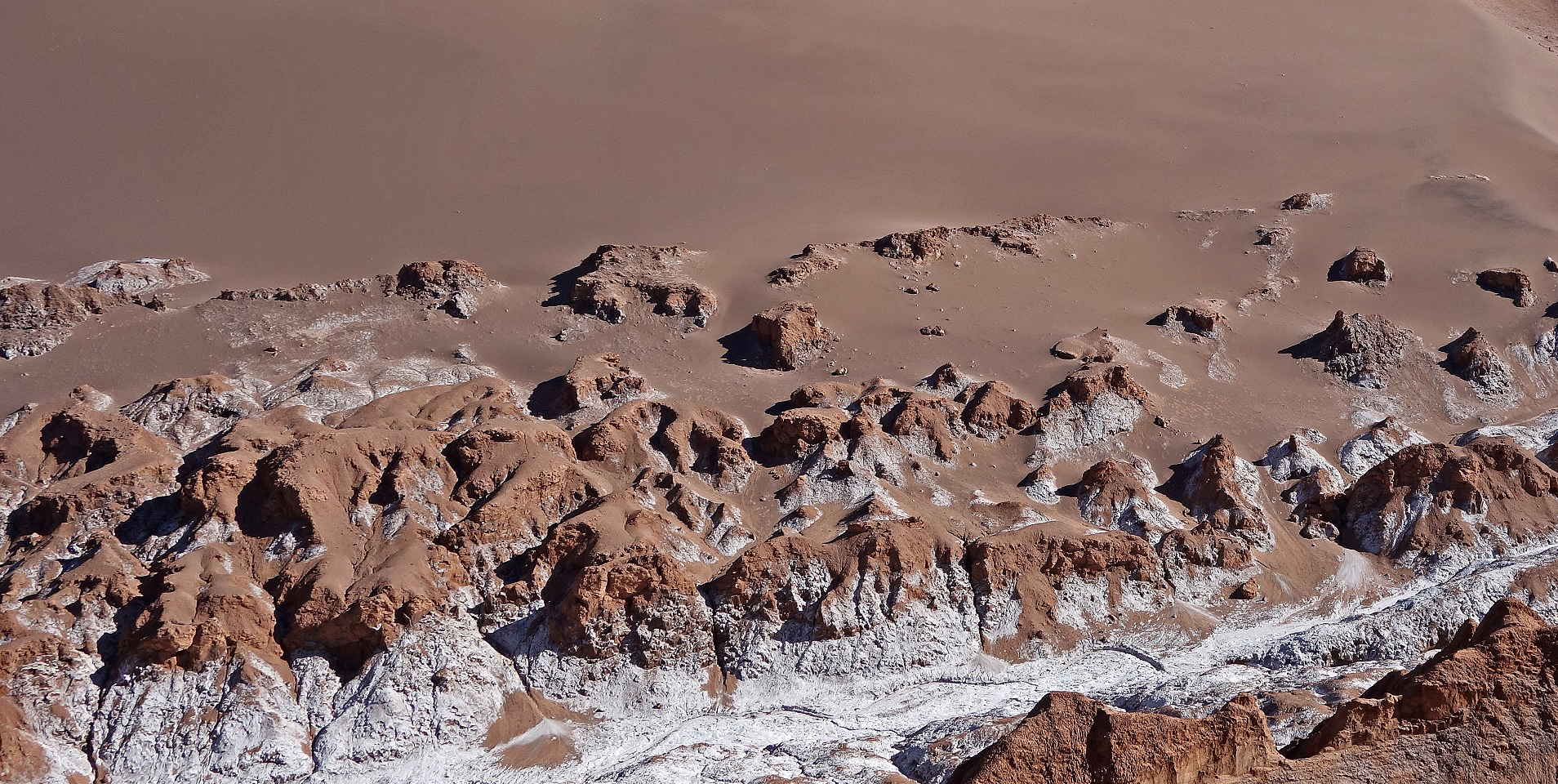
Stratifications of the Cordillera de la Sal.
|
|
The house in this photo was formerly used by salt miners. (It is also visible in the previous photo, where it gives an even better sense of the isolation and living conditions of these miners.) |
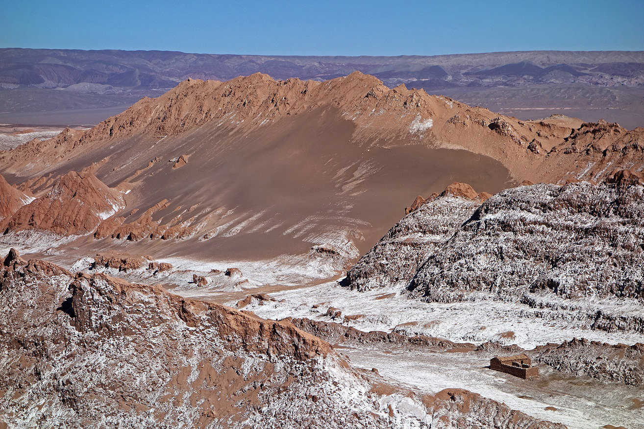
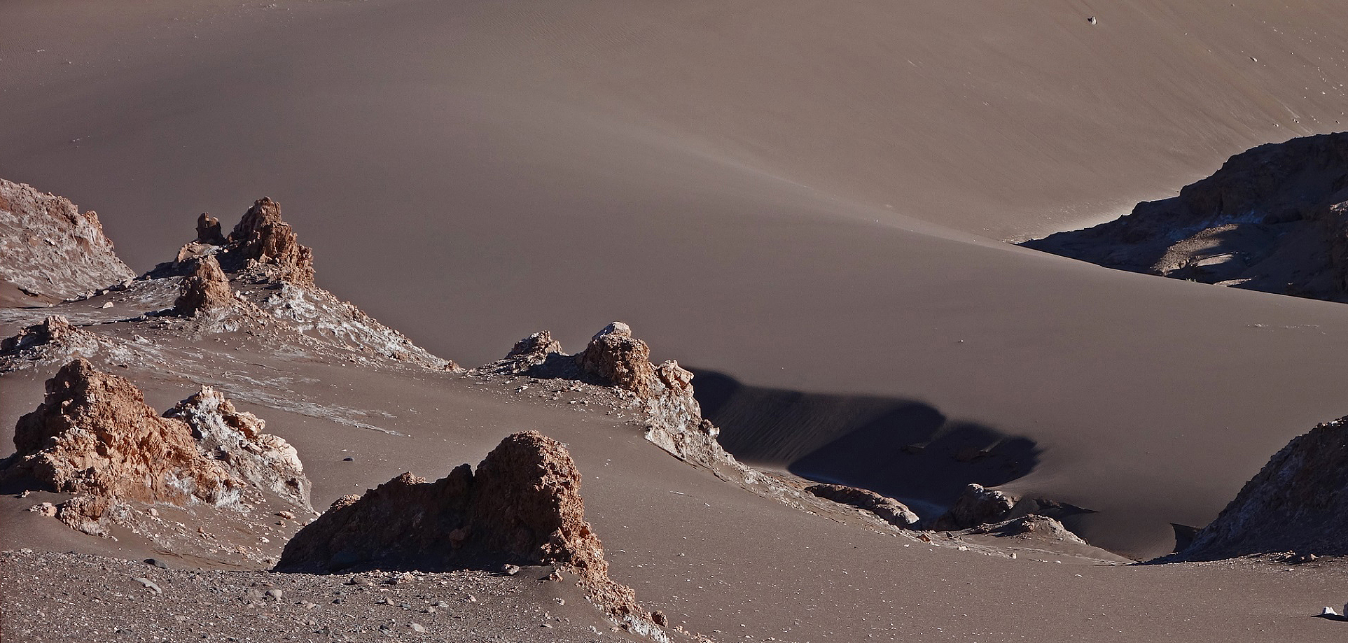
La Gran Duna.
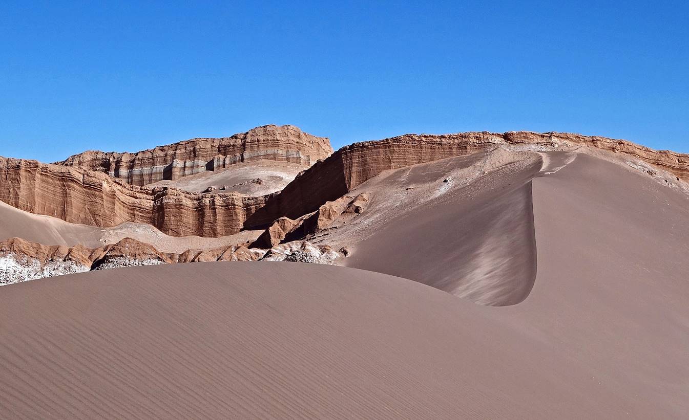
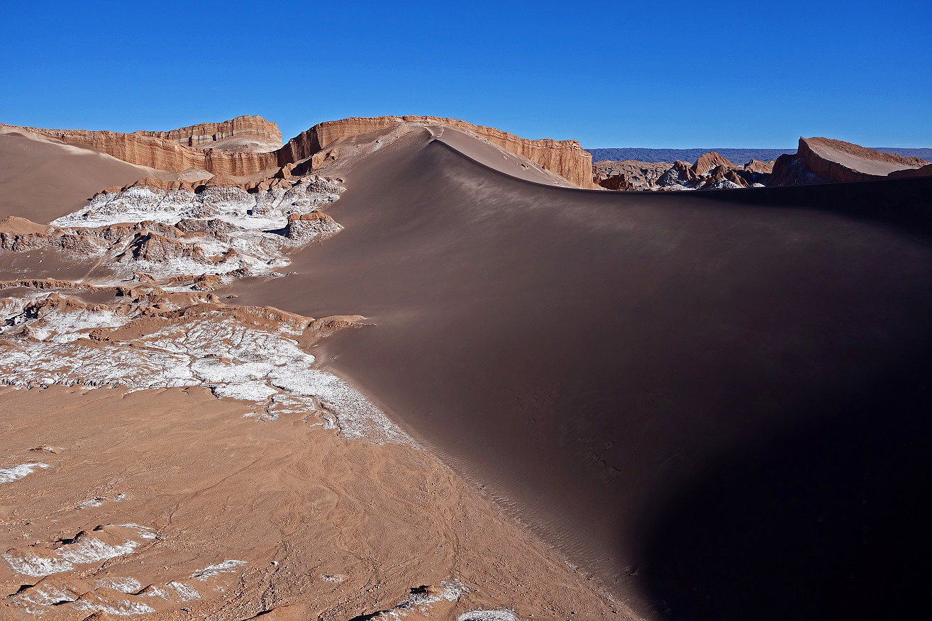
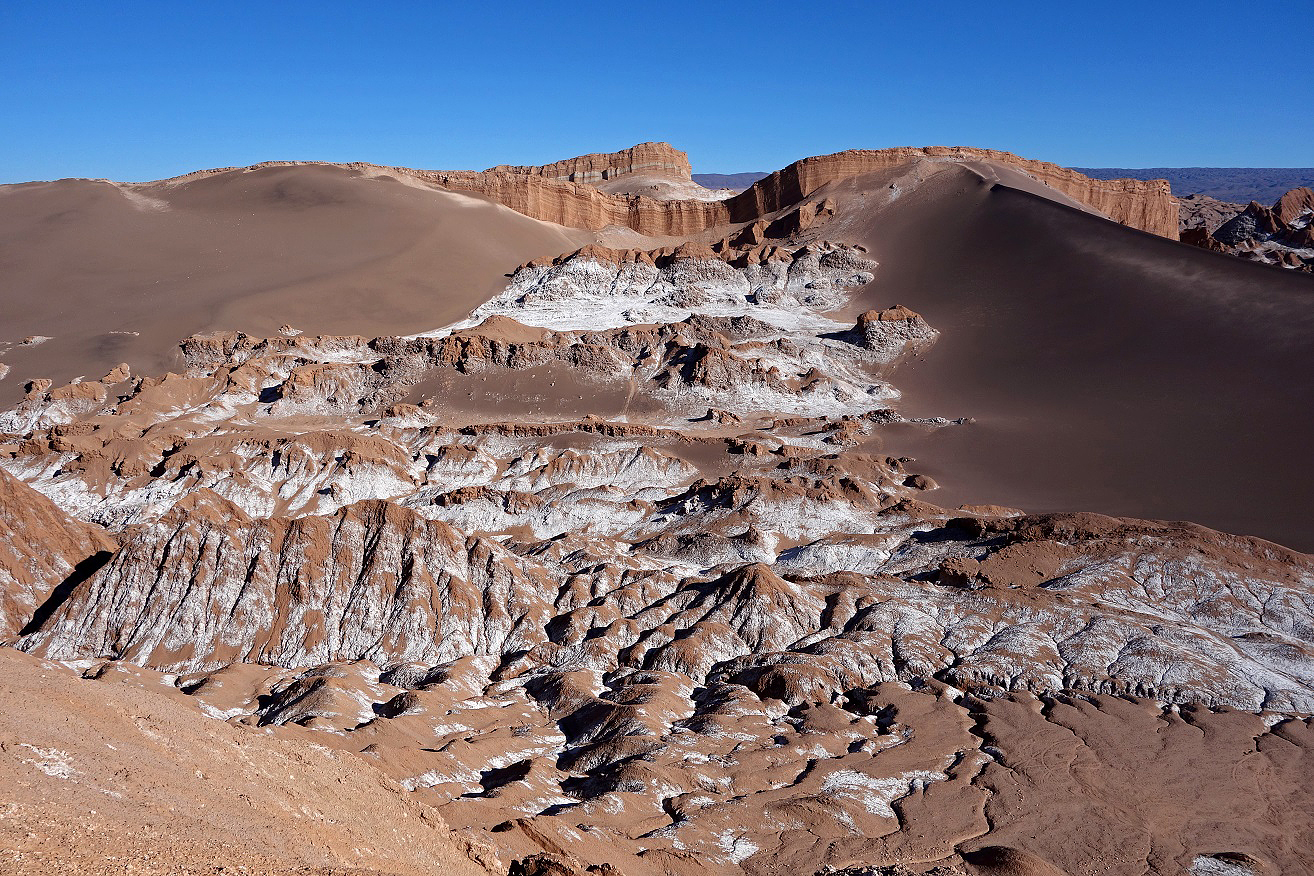
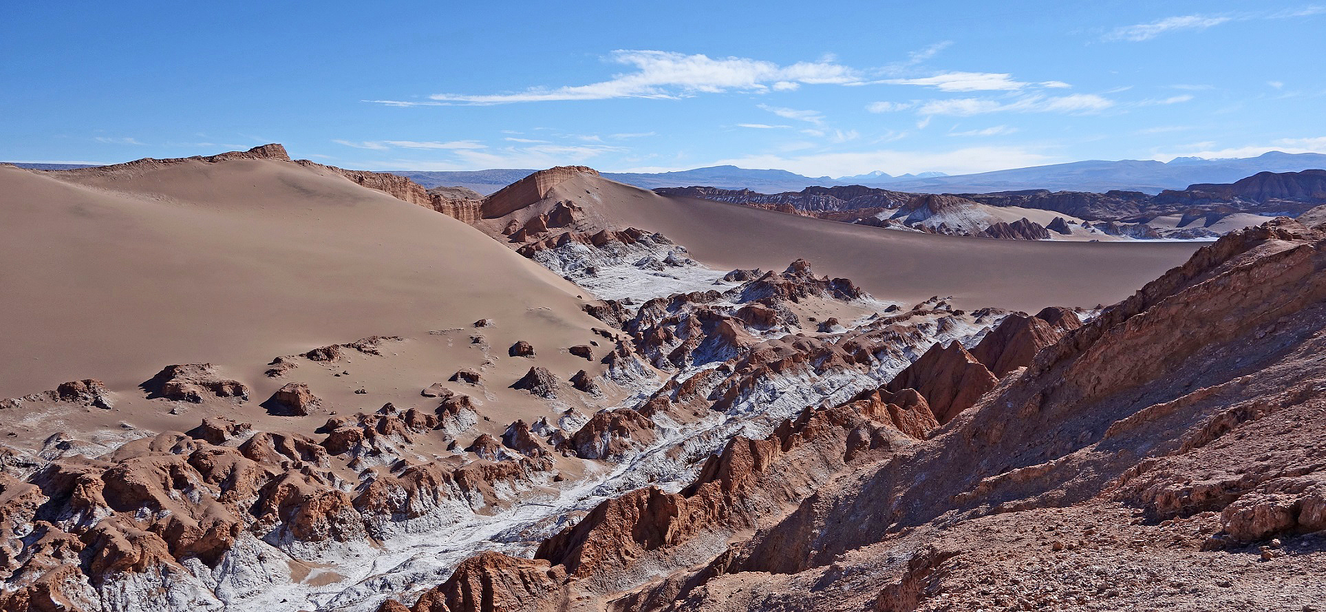
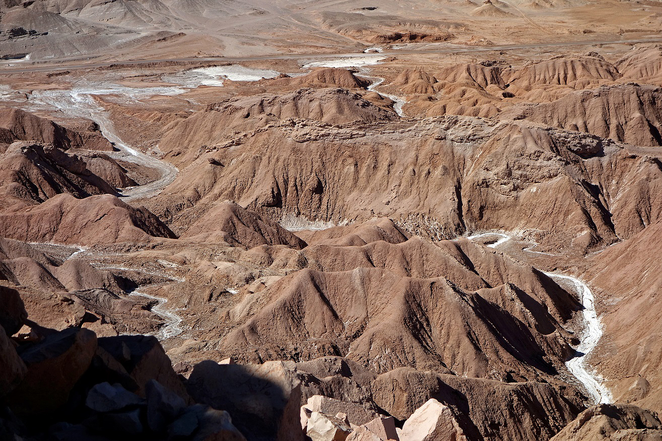
Over time water has carved out canyons, caves, and tunnels whose walls are almost pure rock salt.
|
|
|
|
On one evening, Pablo and I climbed to the top of the eroded cliffs above the so-called Valle de la Muerte, 5 km west of San Pedro. I took the following photos from the ridge and during the descent.
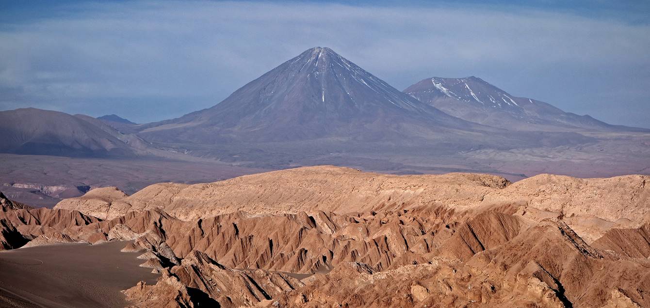
View of Volcan Licancabur (5916m) and Juriques from the ridge above Valle de la Muerte.
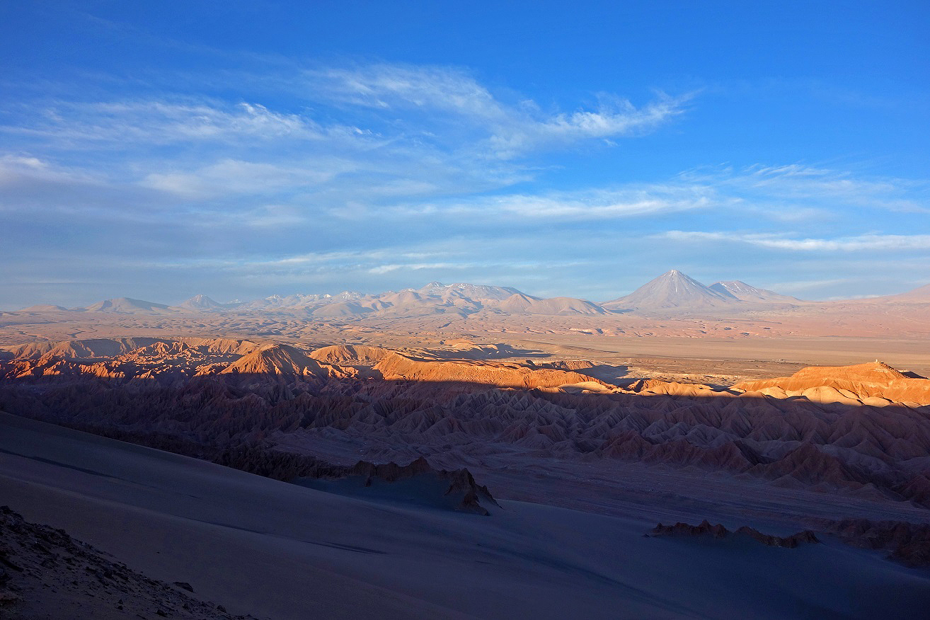
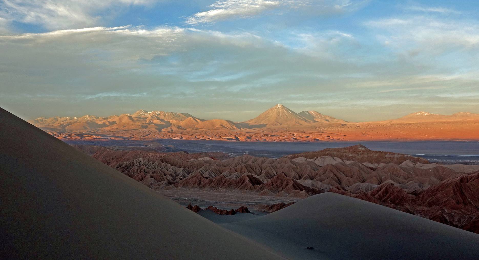
Another view of Volcans Licancabur and Juriques from the top of the large dune below the cliff.
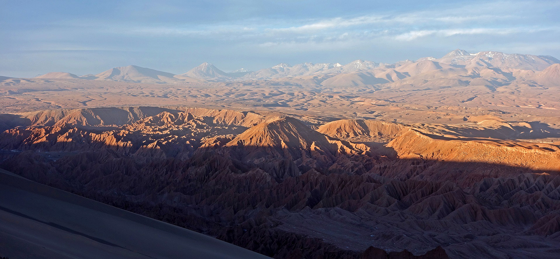
View toward the north. The almost perfect cone visible in the background is Volcan Colorado.
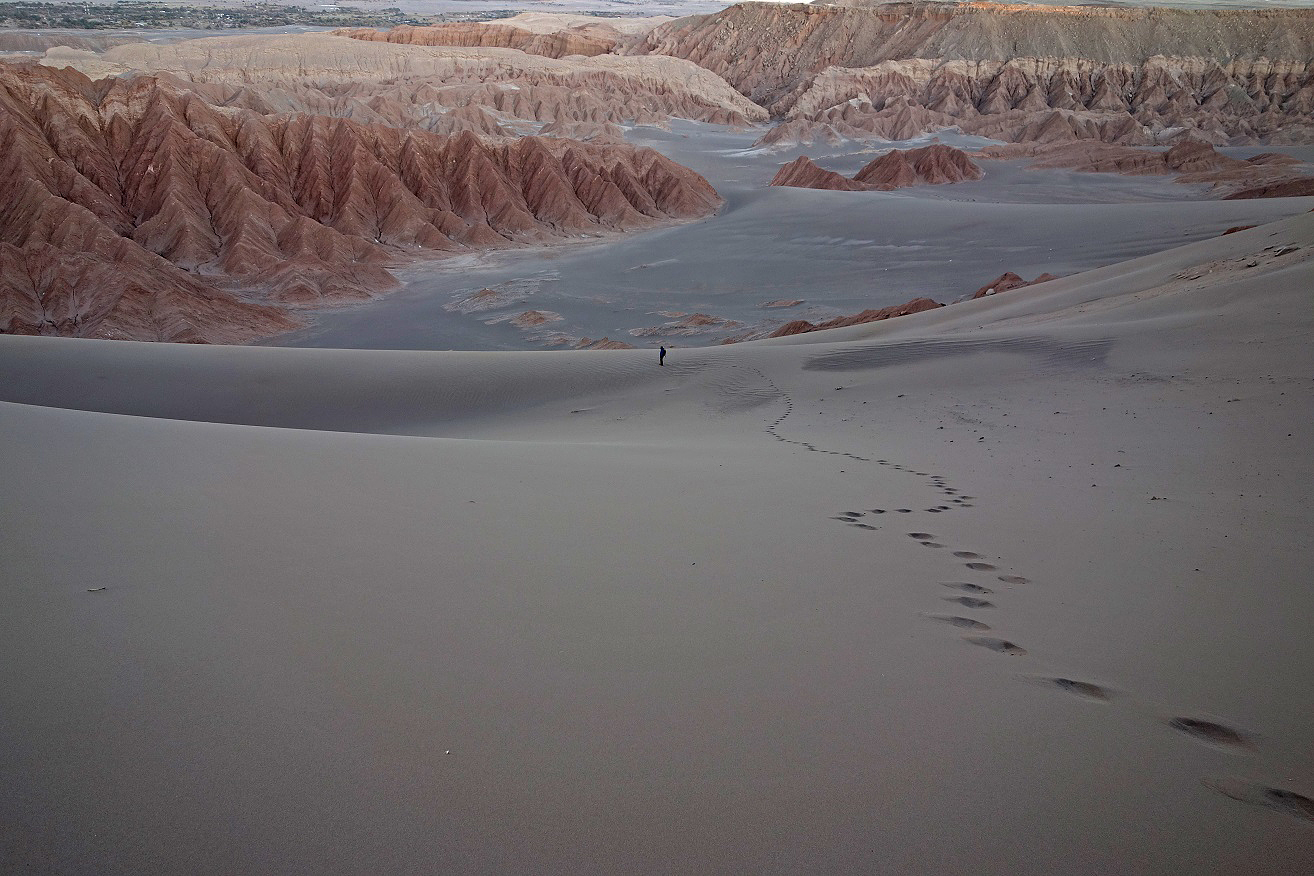
Descent in the sand dune, with Pablo ahead of me. The oasis of San Pedro is visible at the top-left of the photo.
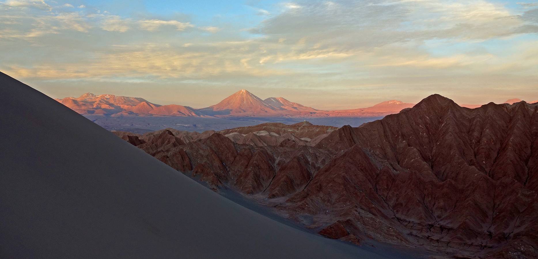
Volcans Licancabur and Juriques again.
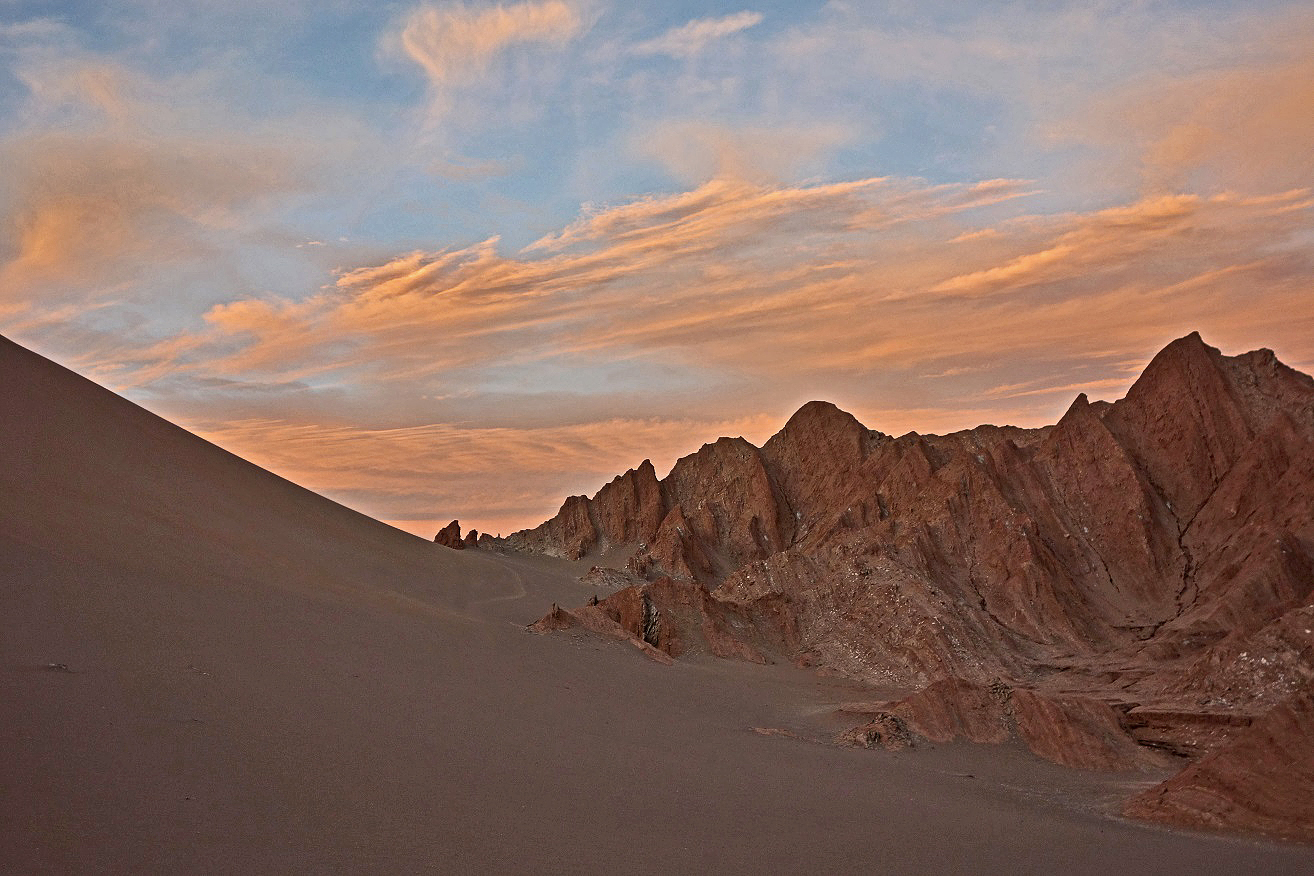
Last picture at the base of the dune.
![]()