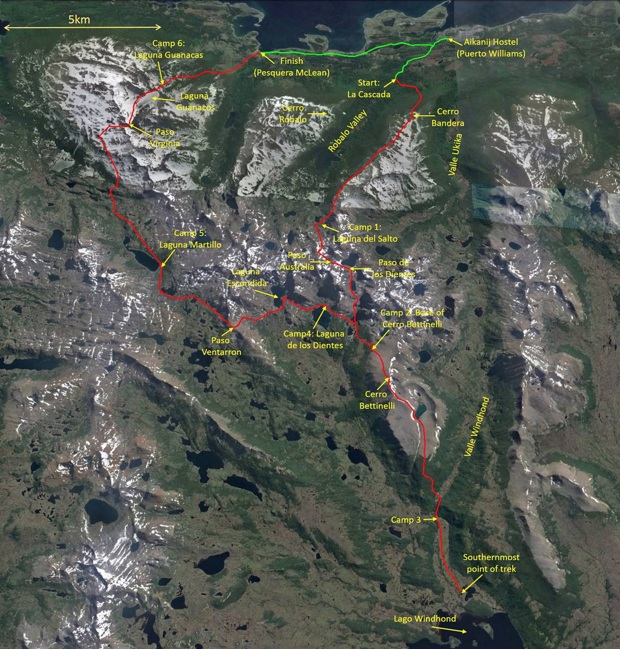
Chile (February-March 2016):
Dientes, Lagunas, and Turbales de Navarino (Days 5, 6, and 7)
![]()
Return to main Navarino trek webpage
Day 5: Laguna de los Dientes to Laguna Martillo
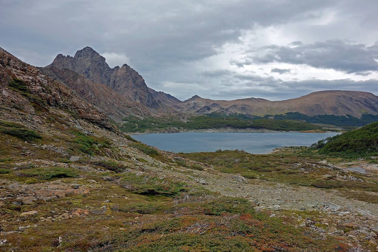
Laguna Escondida, which we reached soon after leaving our fourth camp.
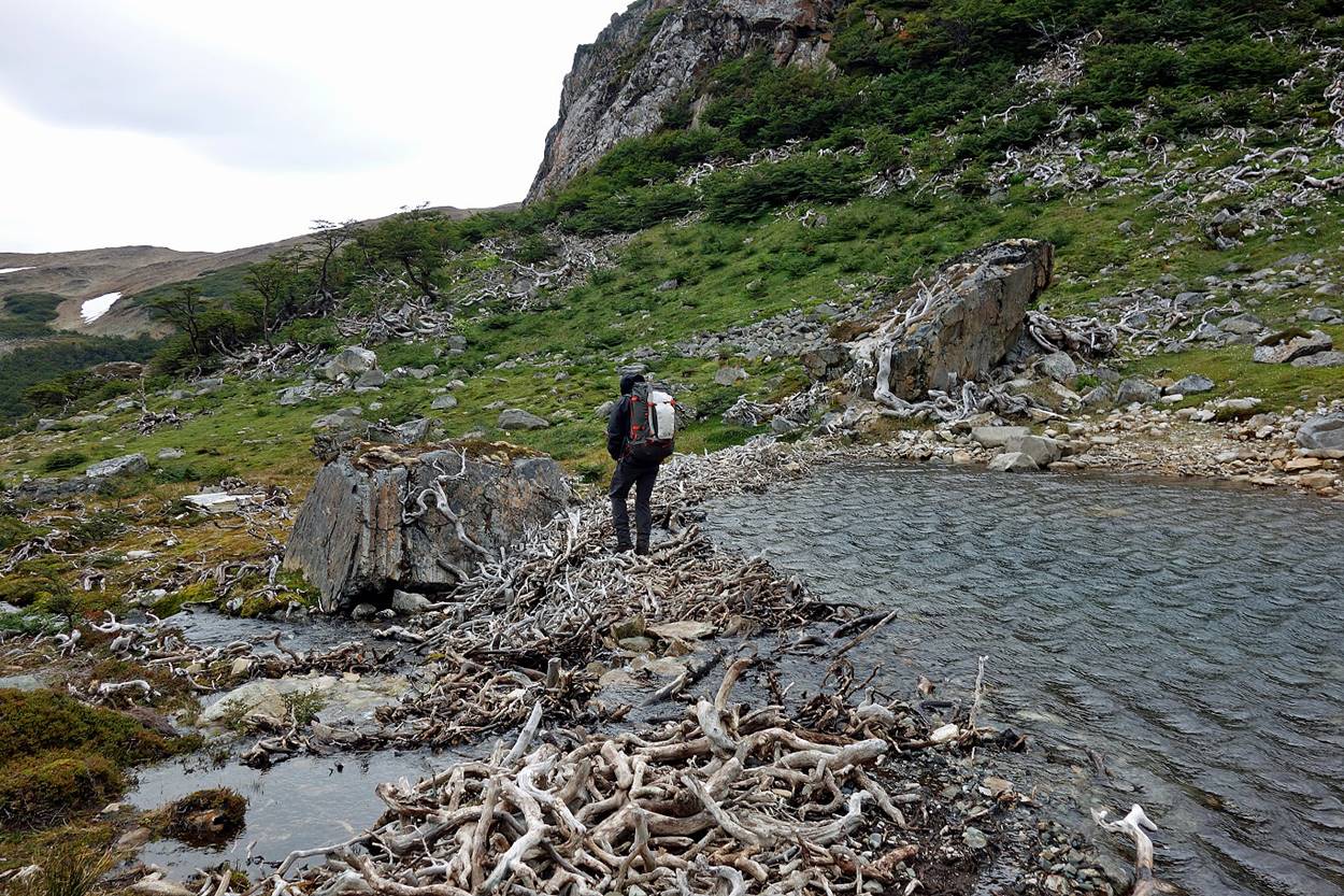
Crossing an old, but still very stable beaver dam.
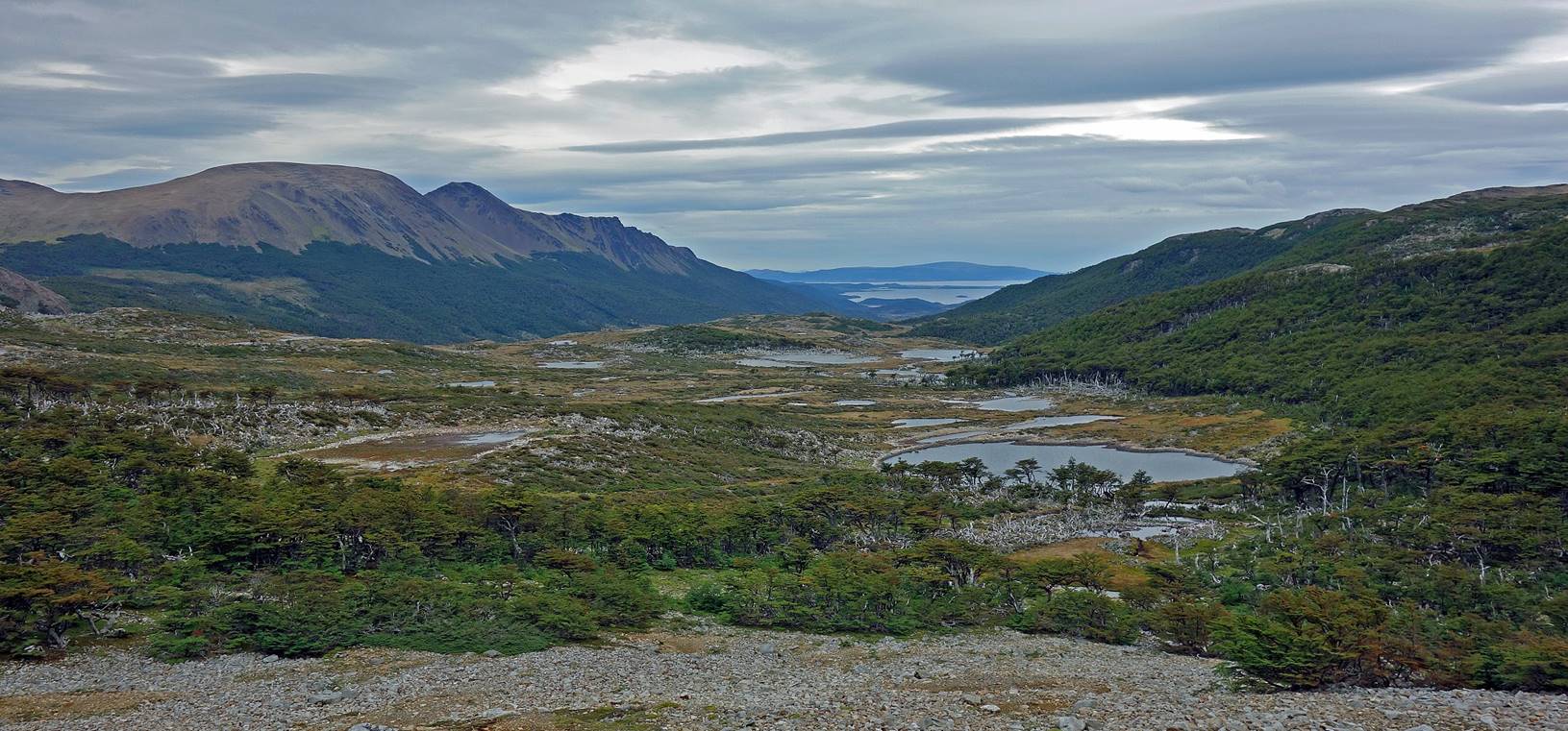
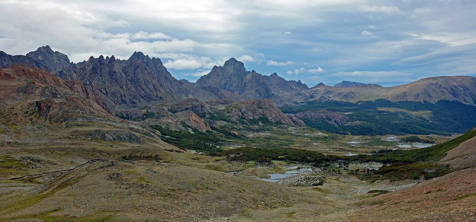
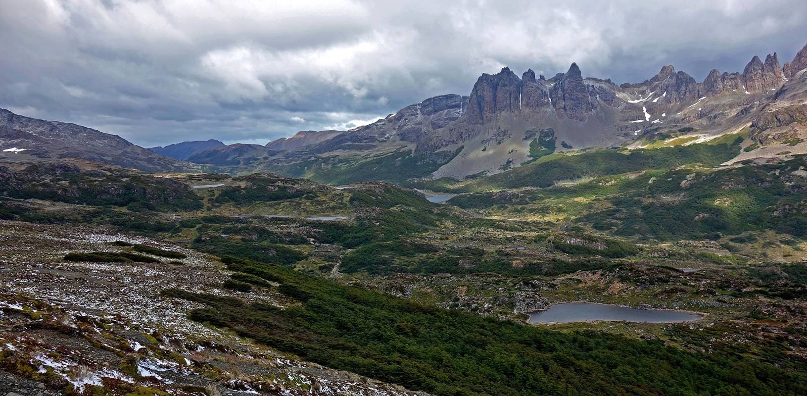
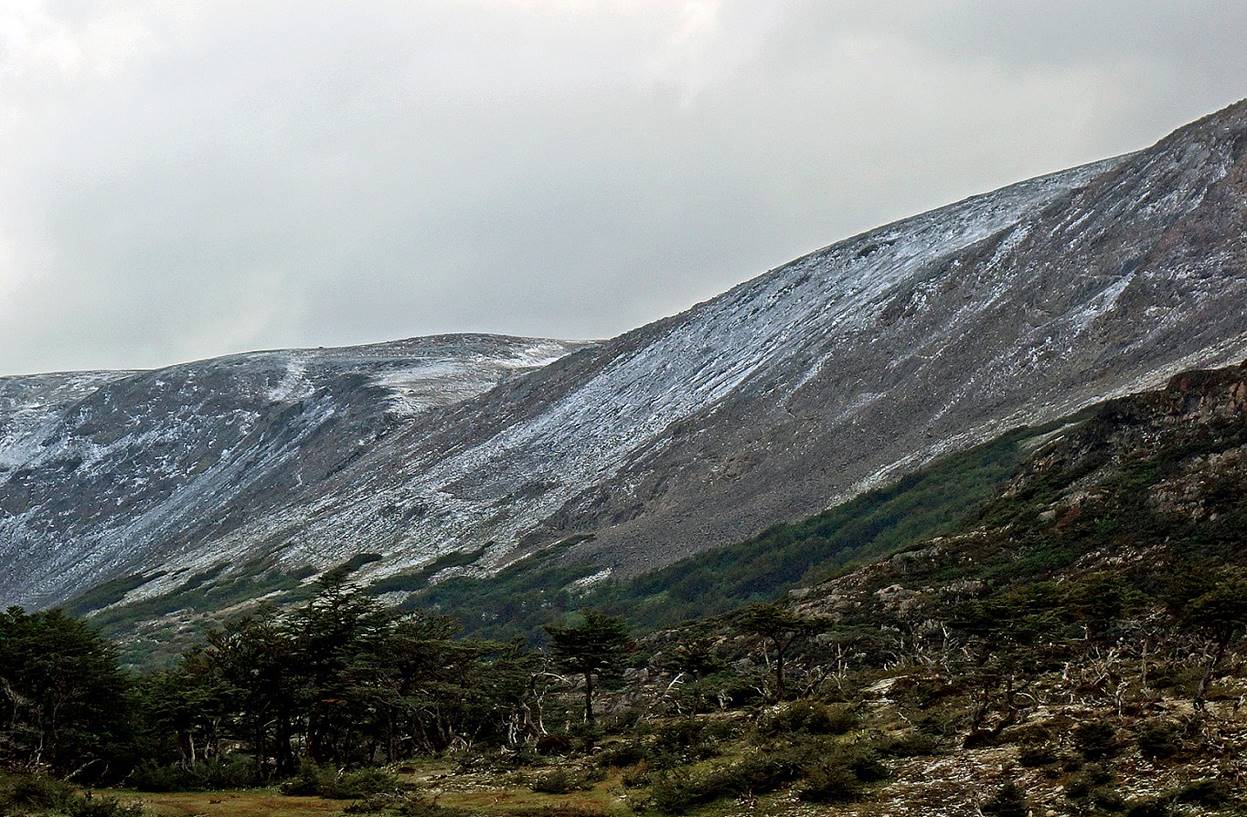
Views over the valley between Cerro Bettinelli (left) and Montes Codrington (right), with Lago Windhond still visible in the background.
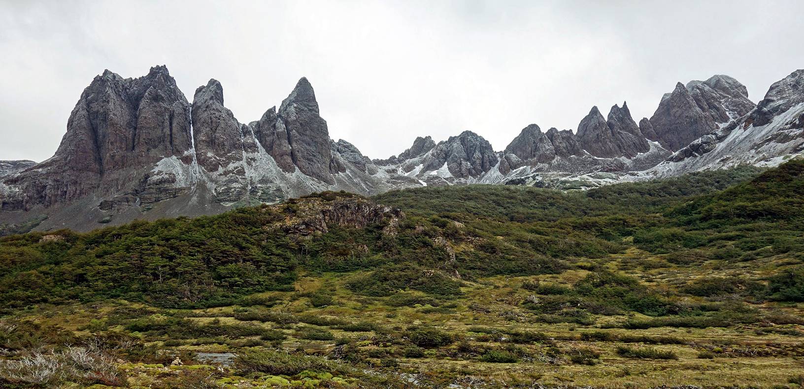
Panorama during the ascent of Paso Ventarron, with Picacho Diente at the center and Cerro Bettinelli on the right.
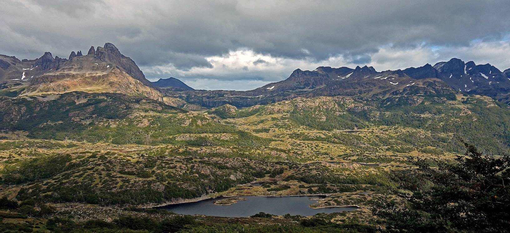
View from Paso Ventarron (696m) toward the west (first photo below) and the northwest (second photo). Although the name of the pass means ″windy″ there was not much wind. We even had some sun!
Passing by Laguna Hermosa.
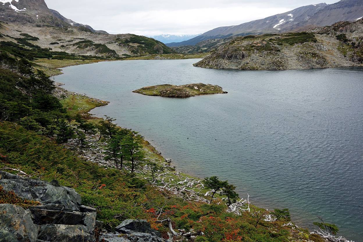
Laguna Martillo (″Hammer Lake″), where we put our fifth camp.
Day 6: Laguna Martillo to Laguna Guanacas
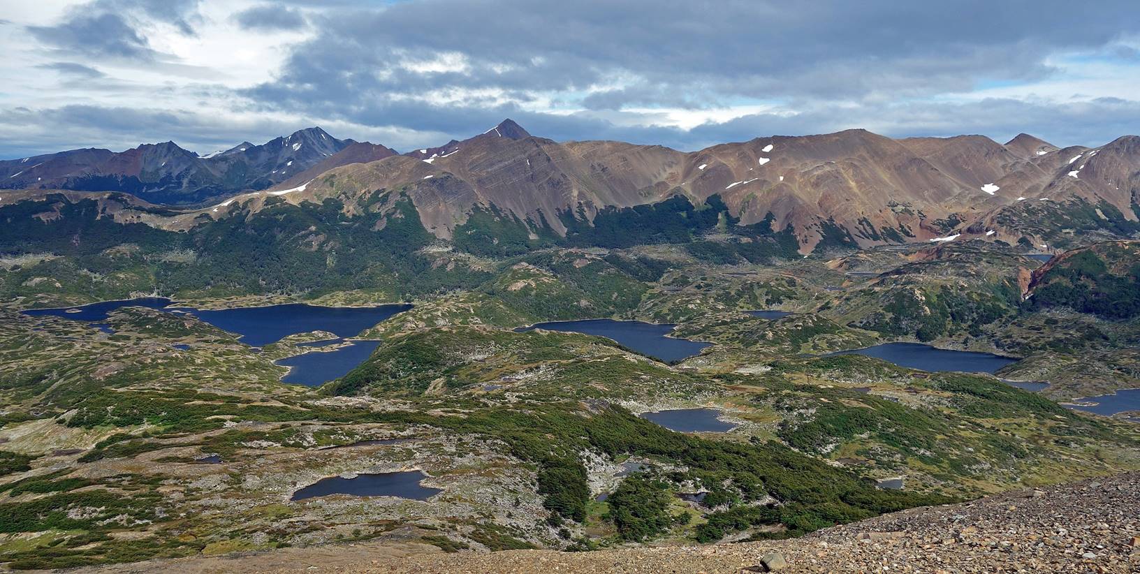
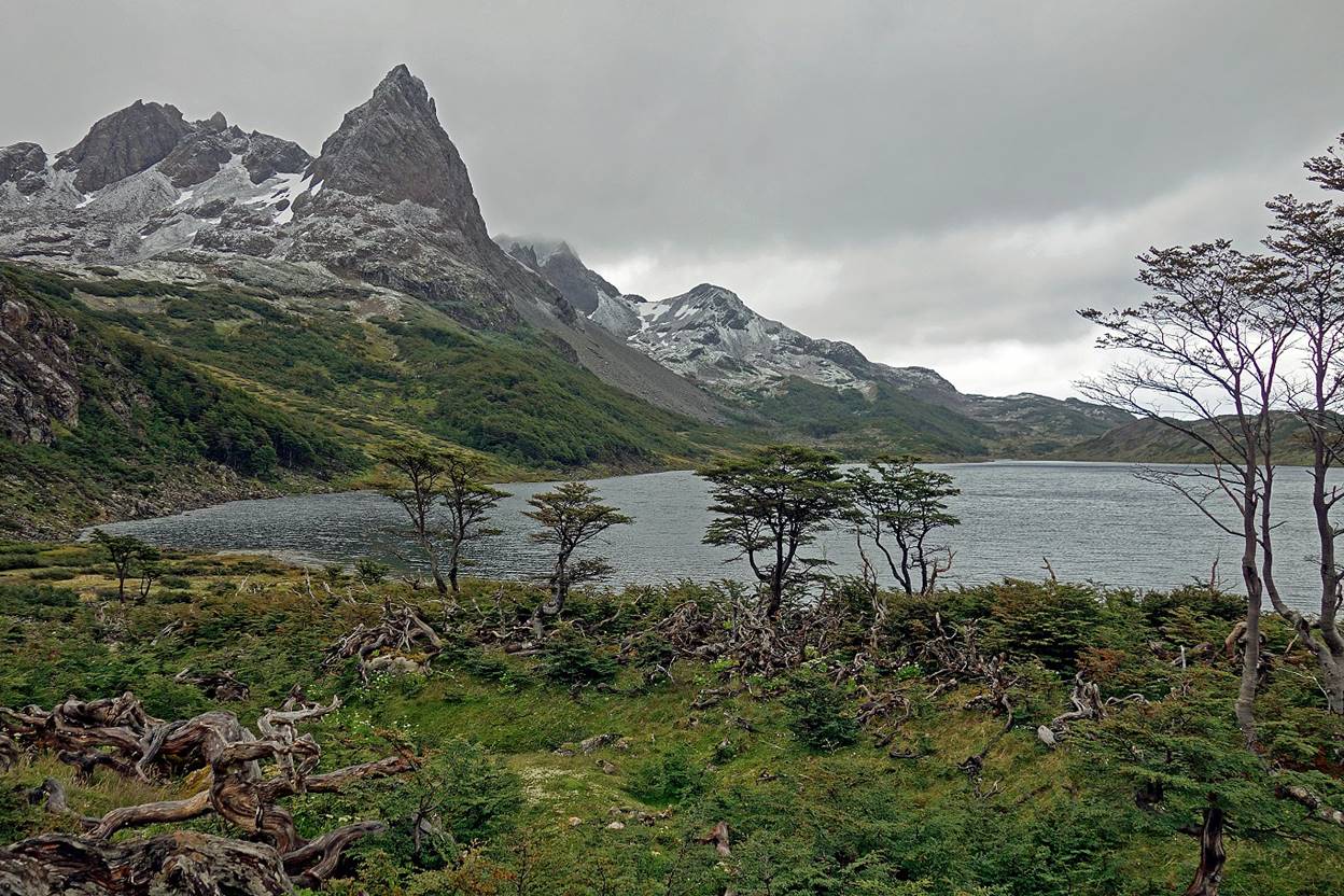
Peak dominating Laguna Martillo seen on the early morning.
Other peaks above a smaller lake at the northern end of Laguna Martillo.
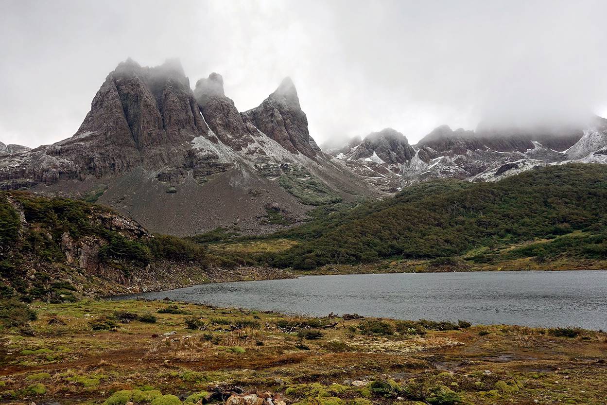
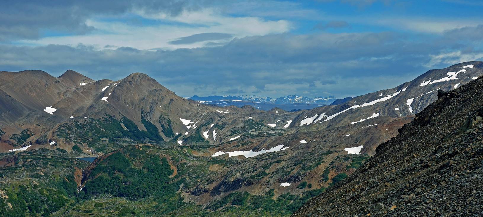
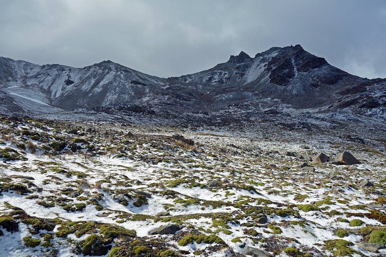
Valley below Laguna Martillo, with the opening toward Paso Virginia visible in the mountain range on the right.
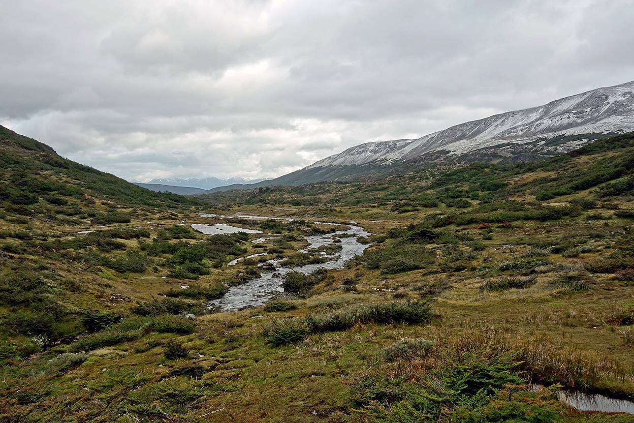
Views of the valley and the mountain range on its western side as we were climbing toward Paso Virginia.
Getting closer to Paso Virginia.
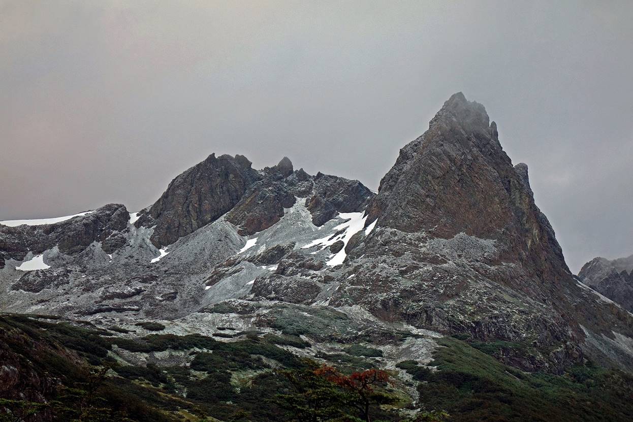
Cerro Virginia (984m).
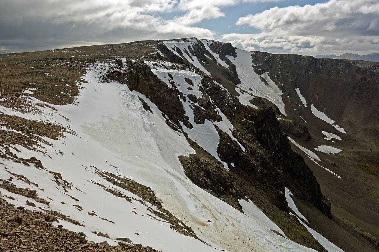
Barren rocky terrain leading to Paso Virginia.
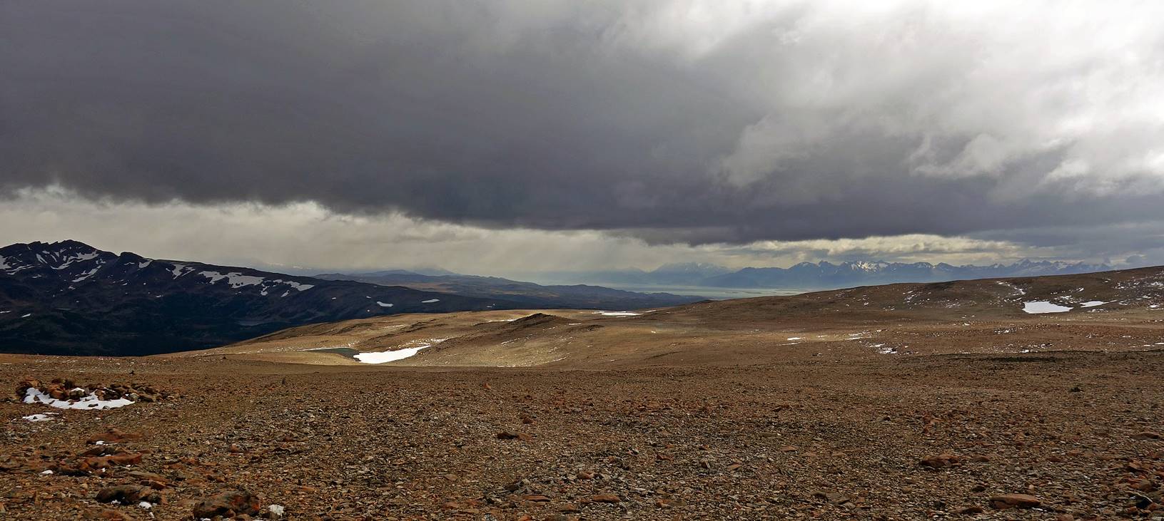
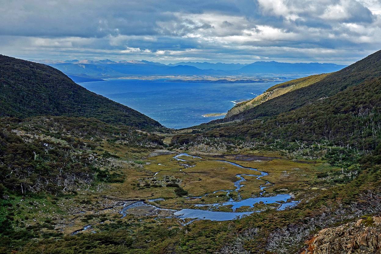
View toward the northwest, with the Beagle Channel and Argentinian mountain ranges near Ushuaia visible in the background.
Steep northern ridge at Paso Virginia (829m).
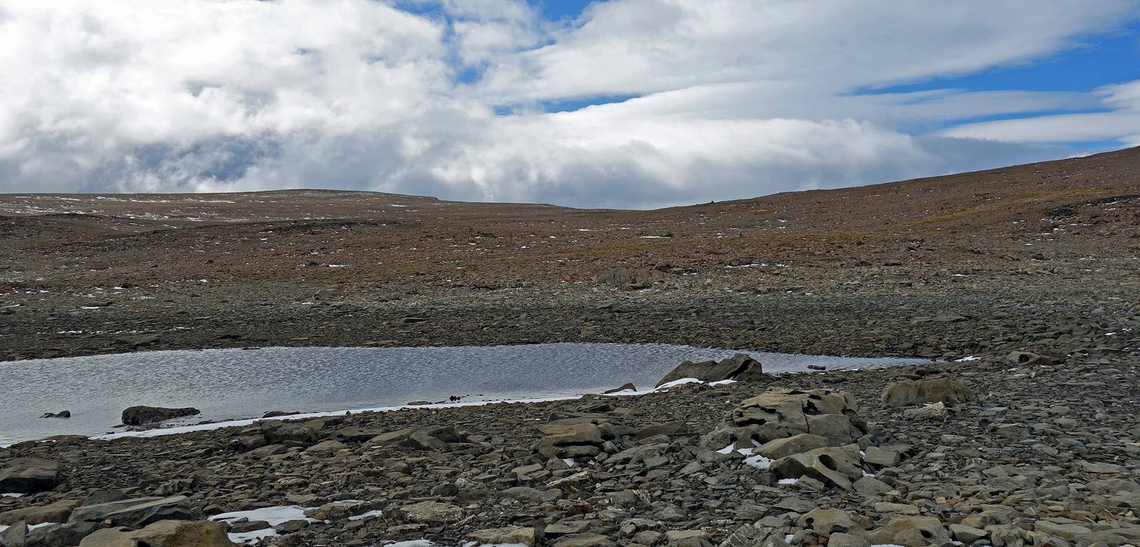
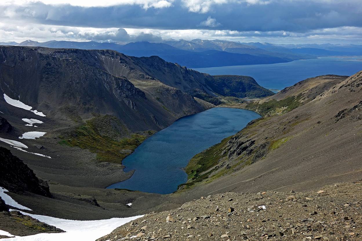
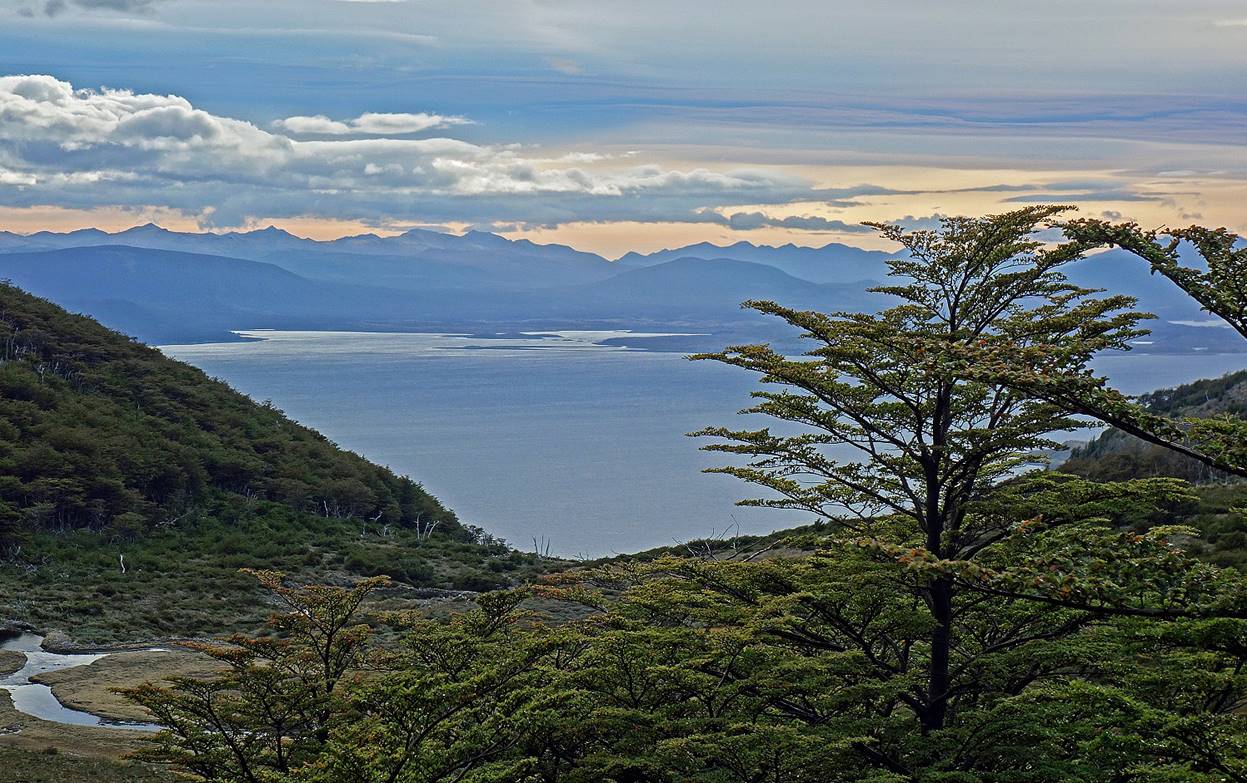
Laguna Guanacos seen from Paso Virginia, with the Beagle Channel in the background.
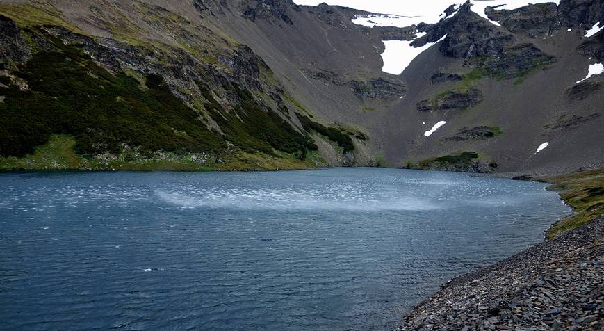
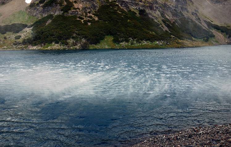
Laguna Guanacos, with strong gusts of wind pulling sprays of water above the surface of the lake. The descent from Paso Virginia is visible in the photo on the left.
|
|
|
View from the northern end of Laguna Guanacos over Laguna Guanacas (which looks to me more like a pond in a turbal) and the Beagle Channel. We set our last camp in a wind-protected area near Laguna Guanacas.
Day 7: Laguna Guanacas to Pesquera McLean
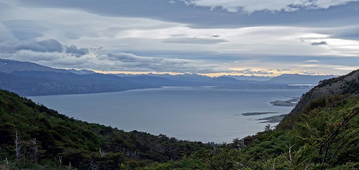
Views over the Beagle Channel in the morning.
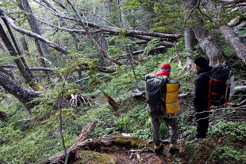
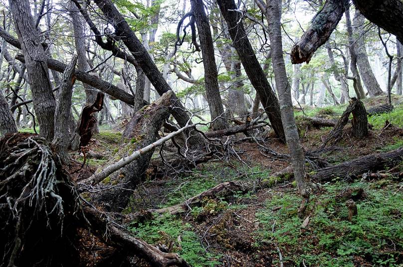
Descent in the forest.
|
|
|
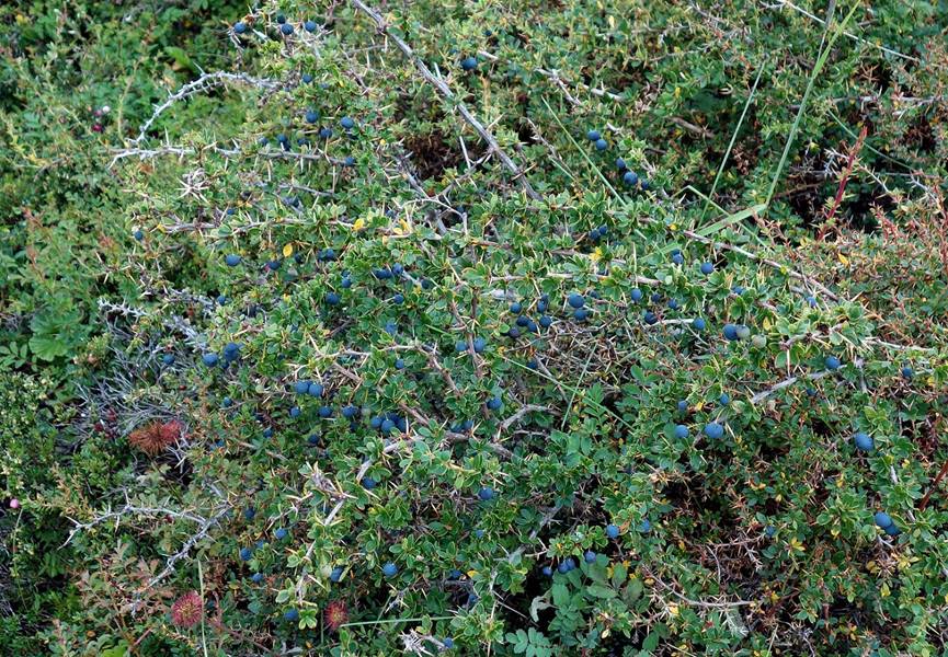
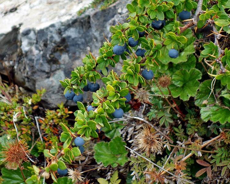
Calafate berries.
|
|
|
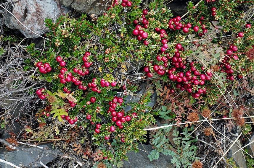
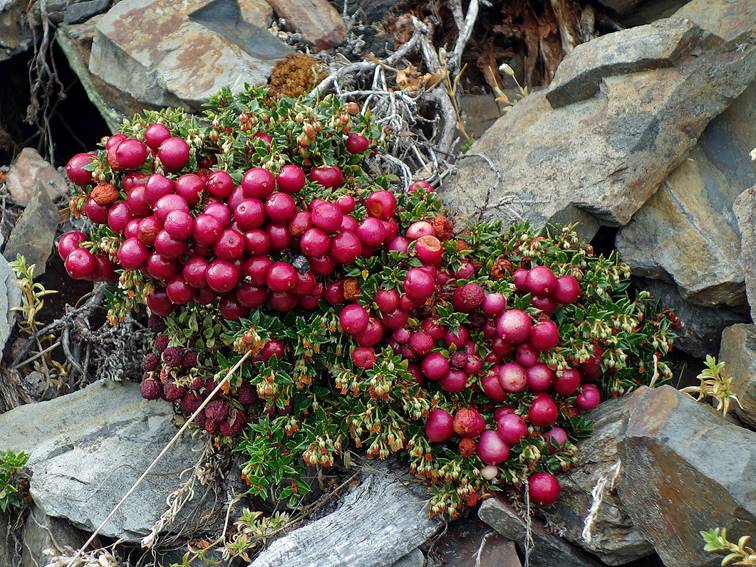
Chaura berries.
|
|
|
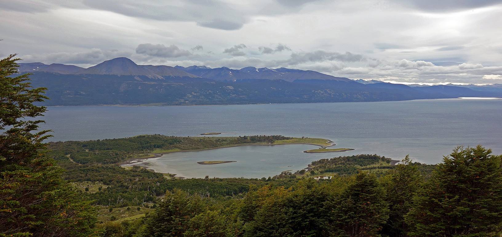
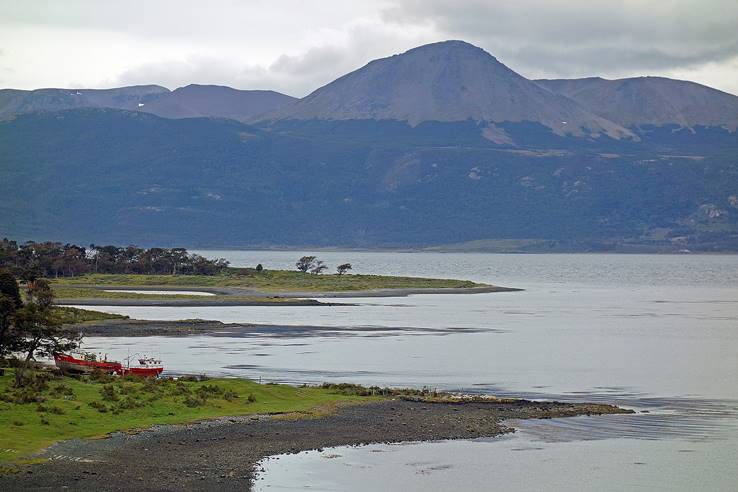
View over circular Caleta Silva.
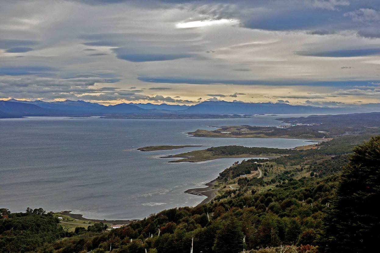
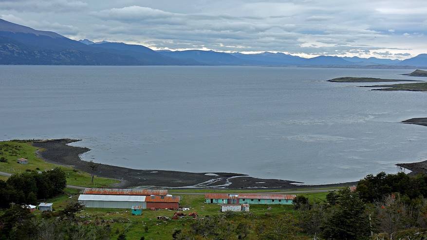
Puerto Williams becomes visible (on the right of the photo).
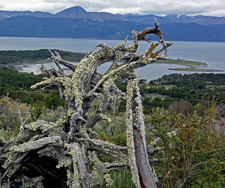
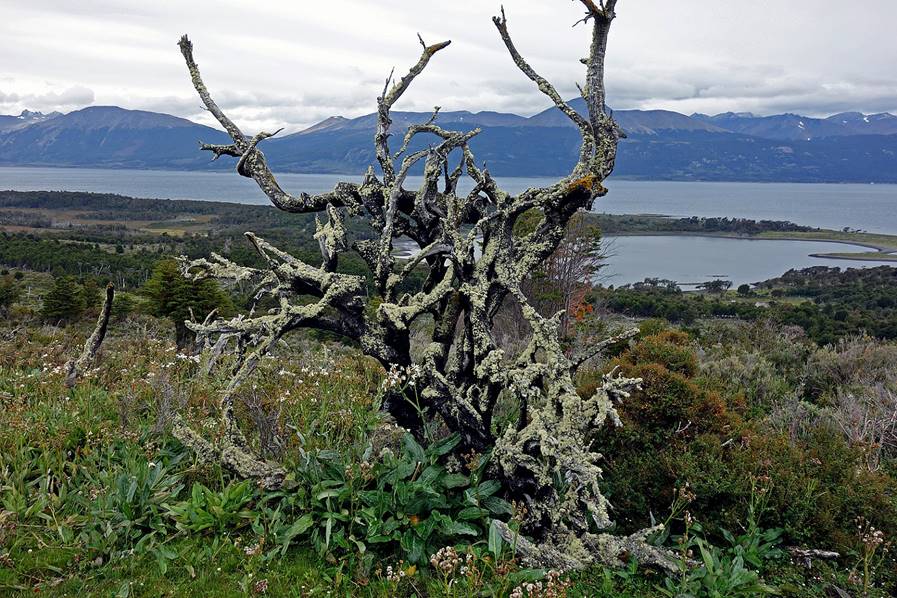
Dead trees covered by lichens.
|
|
|
Reaching abandoned Pesquera McLean (former crab cannery) on Bahia Virginia, the terminus of the trek.
|
|
|
![]()