France:
Villages around Le Ventoux,
Part 2/2
![]()
Back to
main France page | Back to my
mountaineering/trekking/travel webpage
To directly access the first part of ″Villages
around Le Ventoux″, click here.
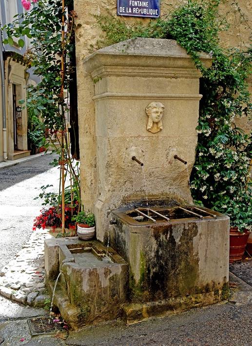
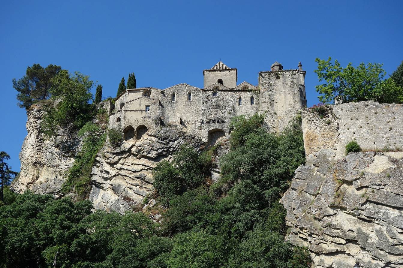
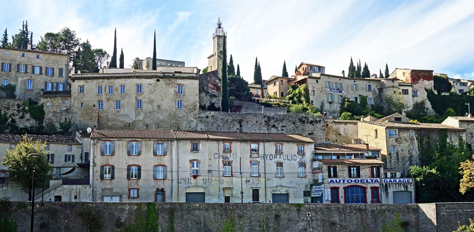
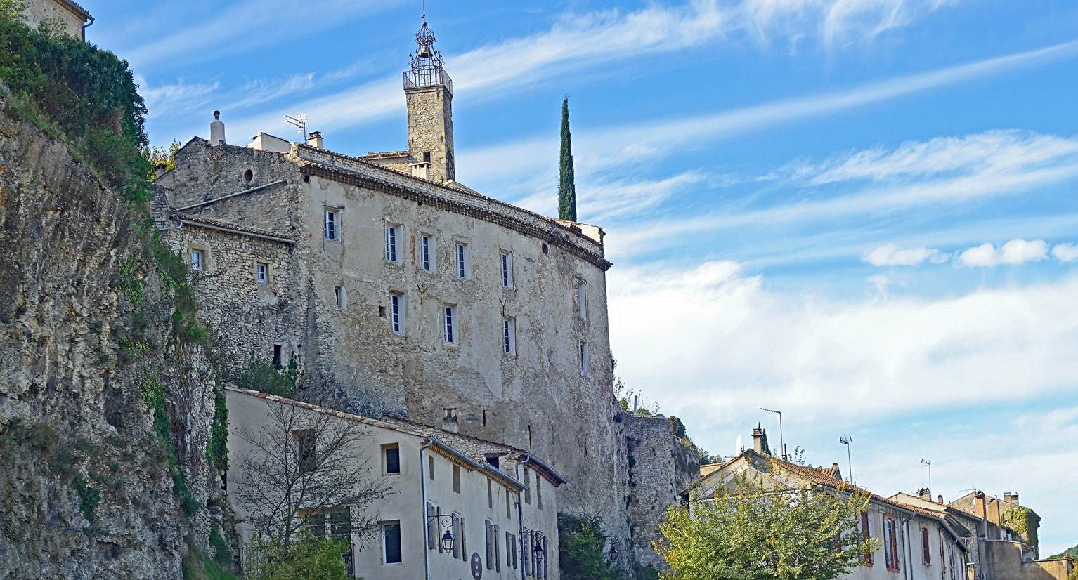
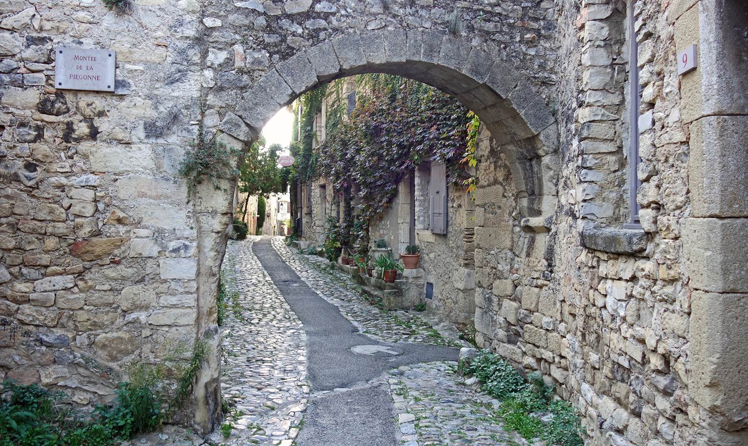
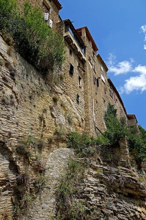
(June 2019) Malaucene:
Malaucene is a small thriving town at the western
extremity of the Mt. Ventoux massif. In medieval
times its old center was a fortified city built around a small hill, today
called Le Calvaire, which was the site of a castle built in the 12th century
and dismantled in the 18th century.
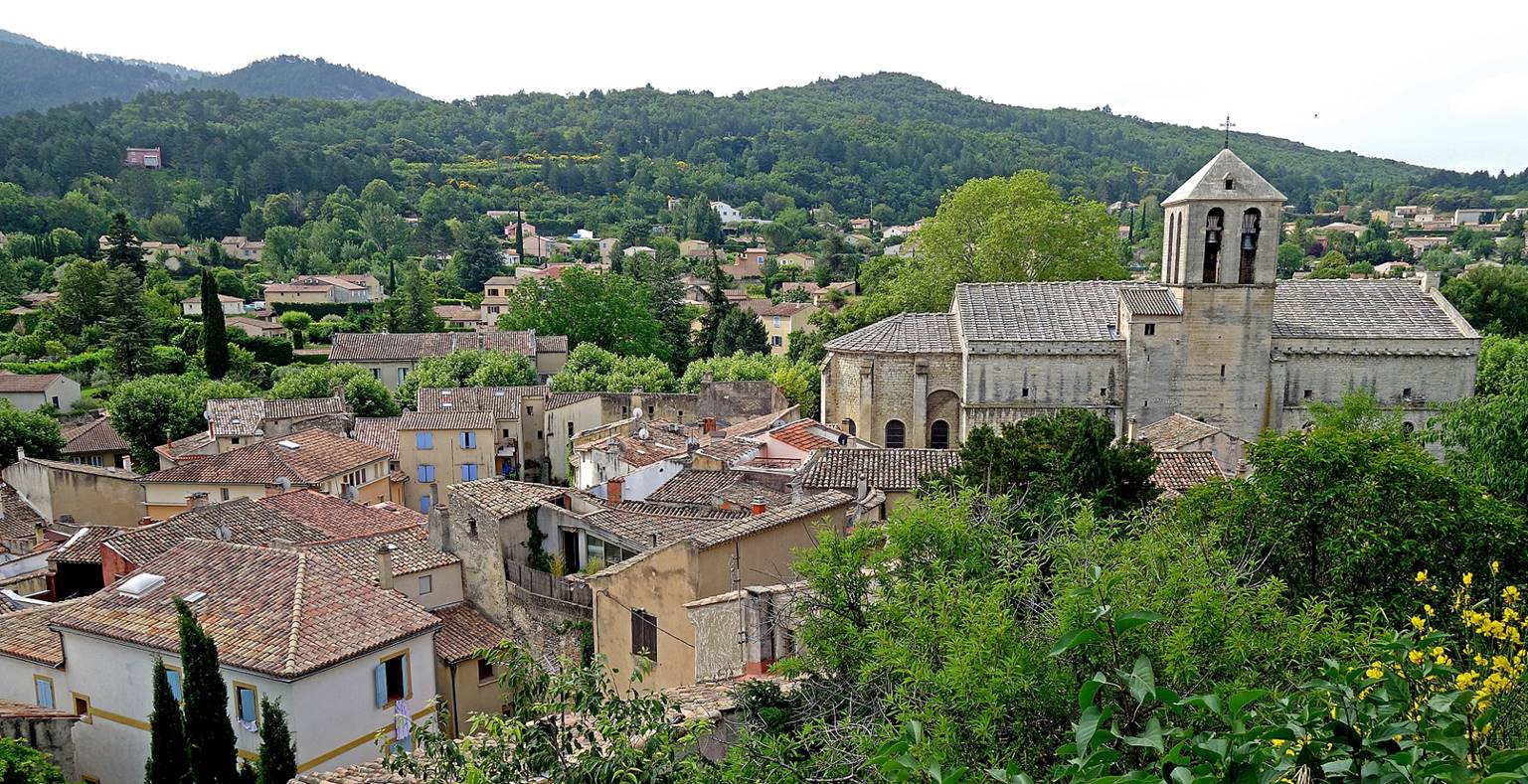
- View of Malaucene
from the top of the hill toward the south. The austere Church Saint-Michel is
visible on the right of the photo. It was built in the 14th century by order of
Pope Clement V, the pope who moved the Papacy from Rome to Avignon in 1309.
Clement V had selected Malaucene for his summer
residence.
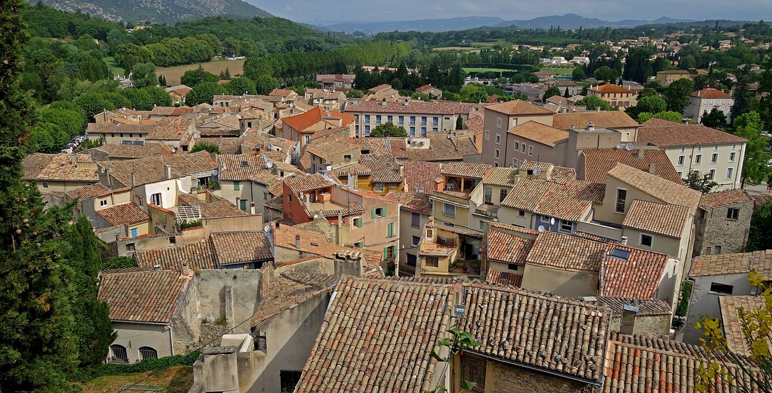
- View of over the town toward the
north.
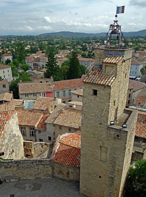
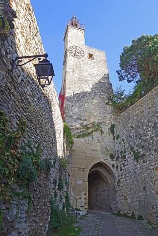
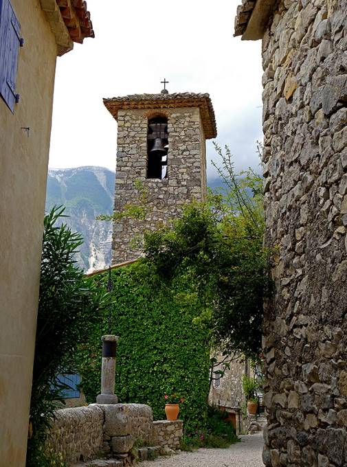
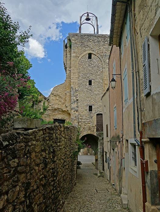
- The belfry surmounted by an iron
campanile. It was built between 1482 and 1532, and extended in 1762. It served
as a watch tower.
|
|
|
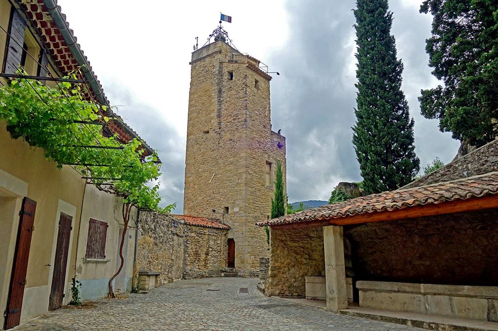
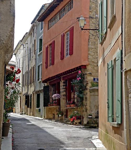
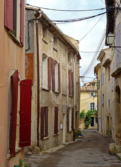
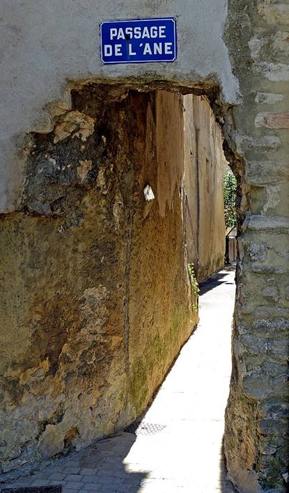
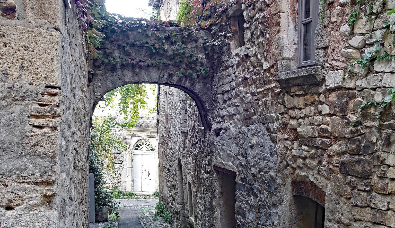
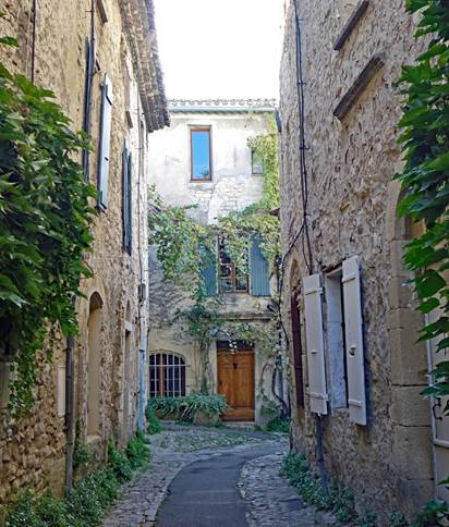
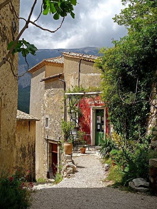
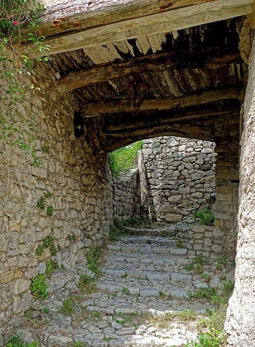
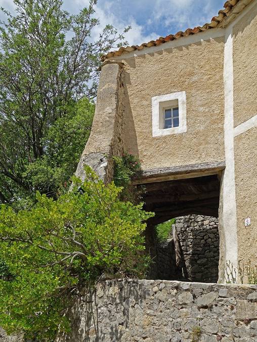
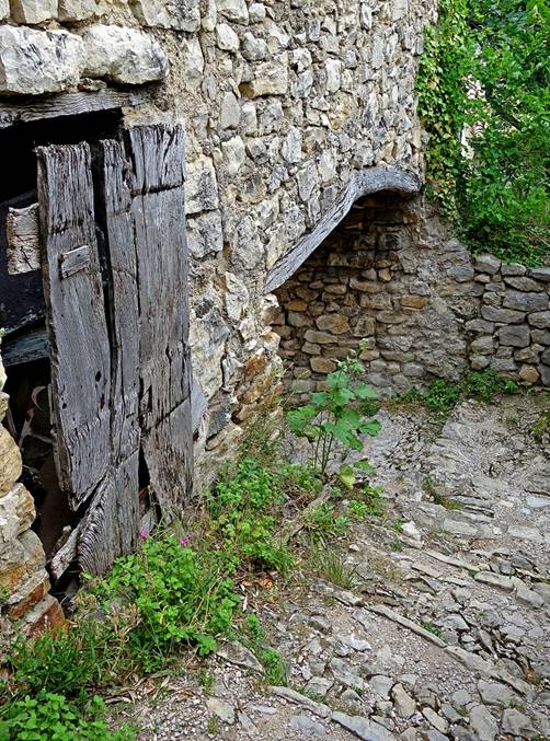
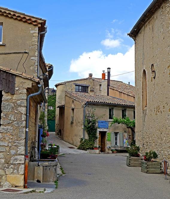
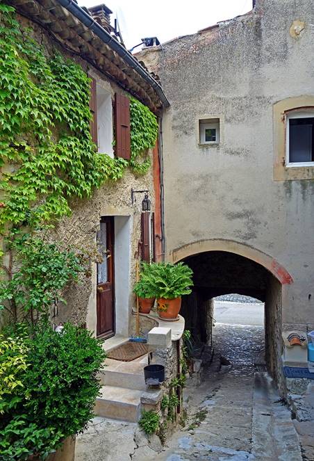
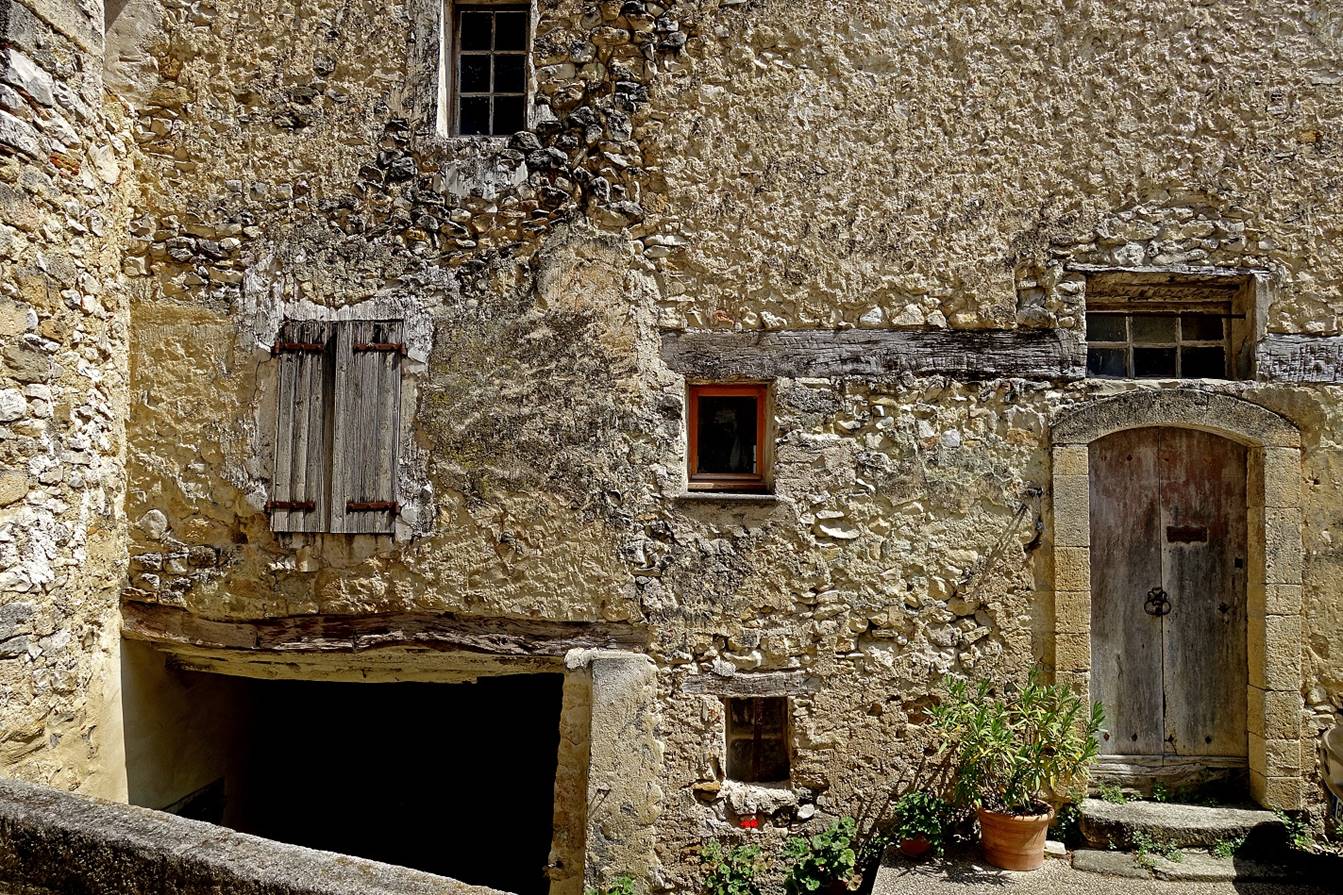
- In the old streets of Malaucene.
|
|
|
|
|
|
|
|
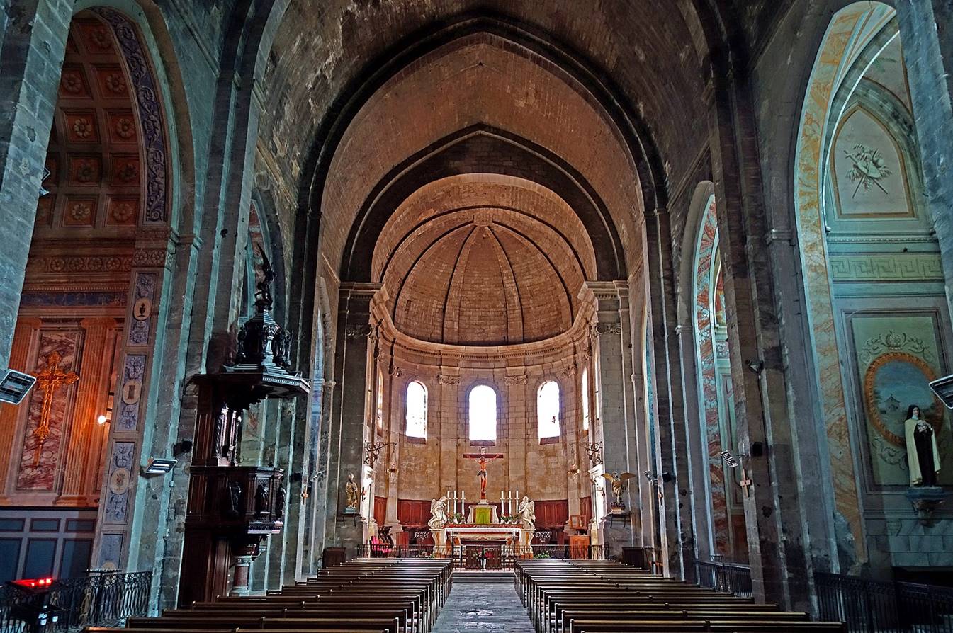
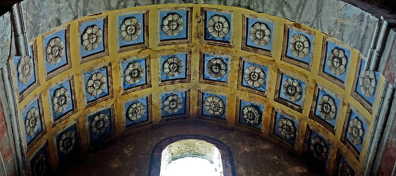
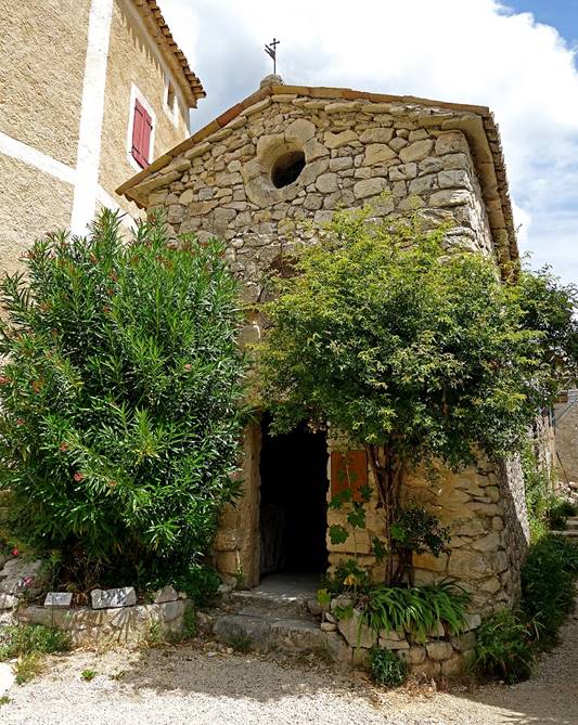
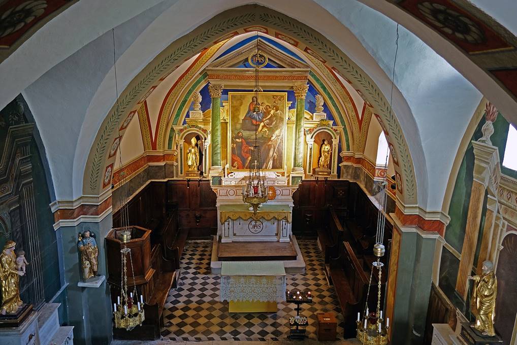
- Inside the Church Saint-Michel.
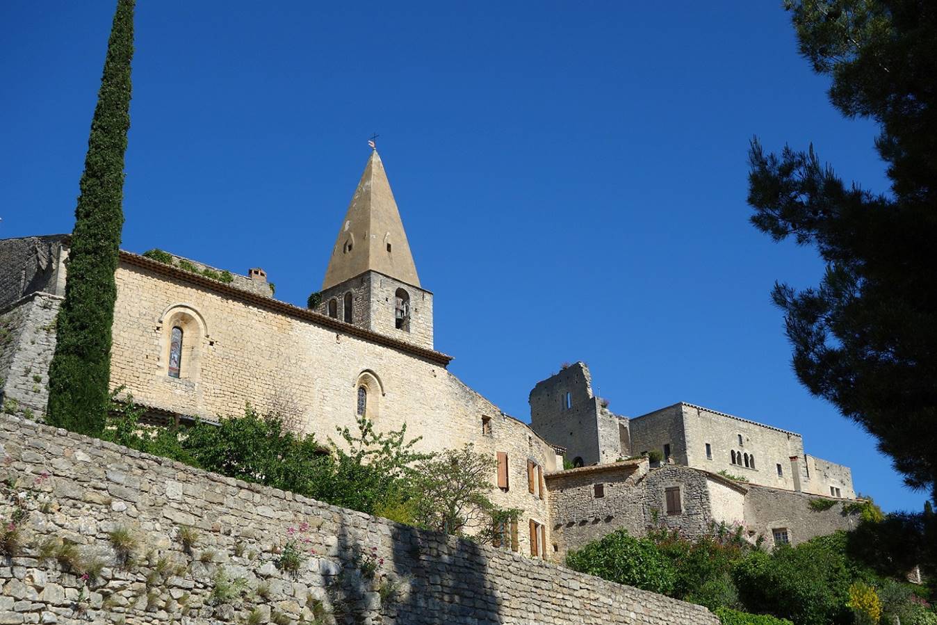
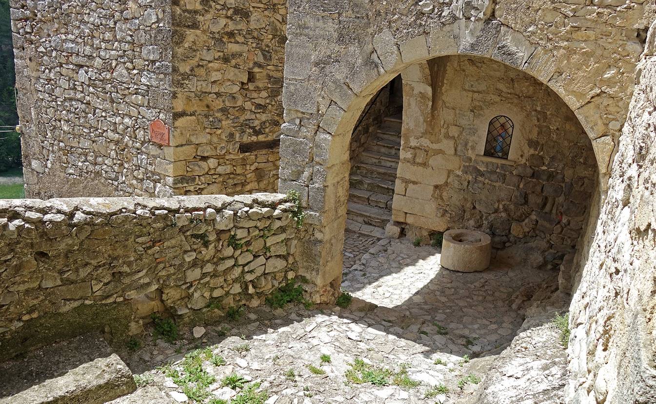
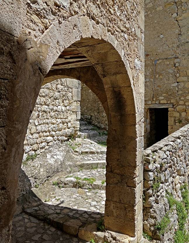
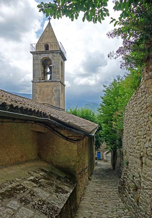
(May 2015 and June 2019) Le Crestet:
This small medieval village is perched
on a ridge at the northern end of the massif of the Dentelles de Montmirail, near Vaison-la-Romaine.
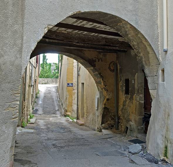
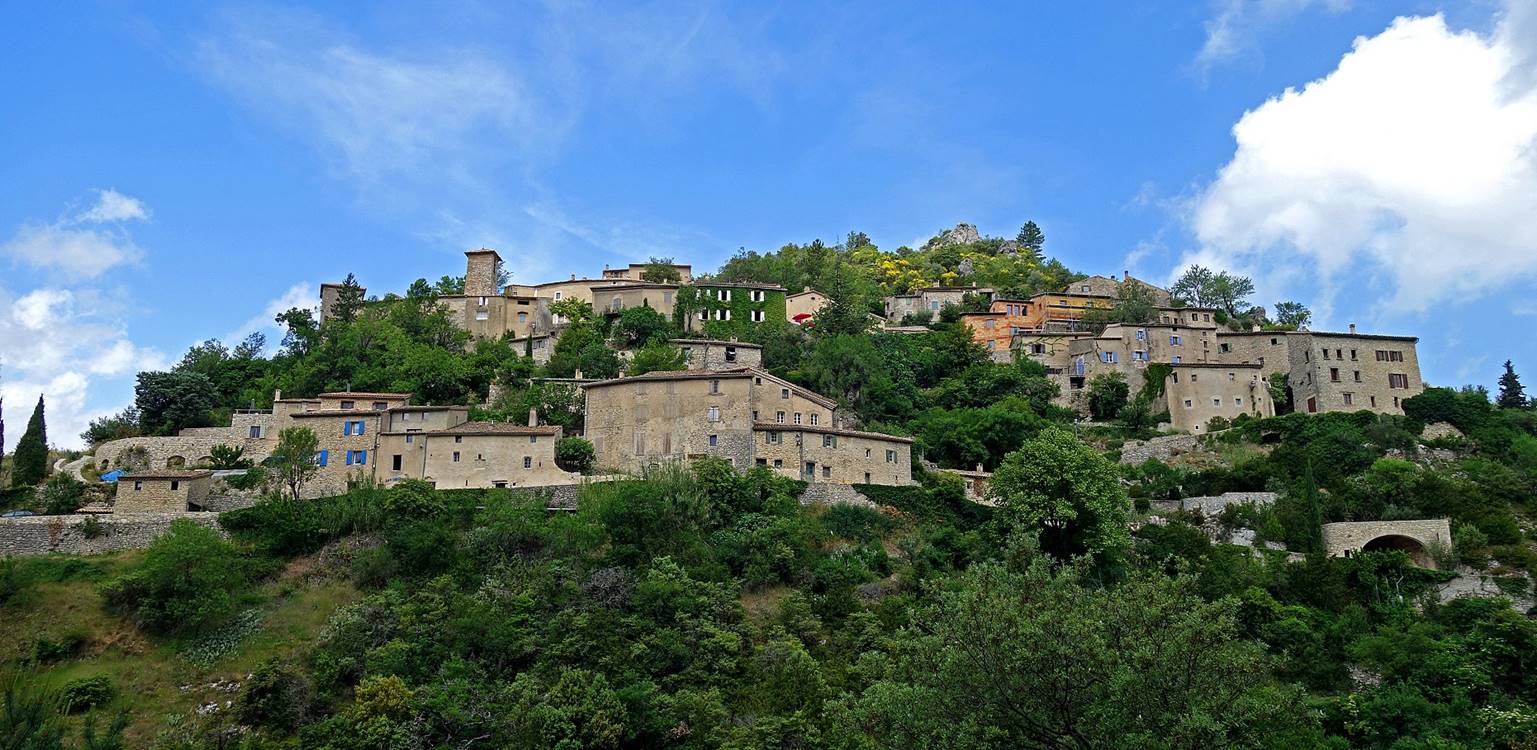
- Views of the village.
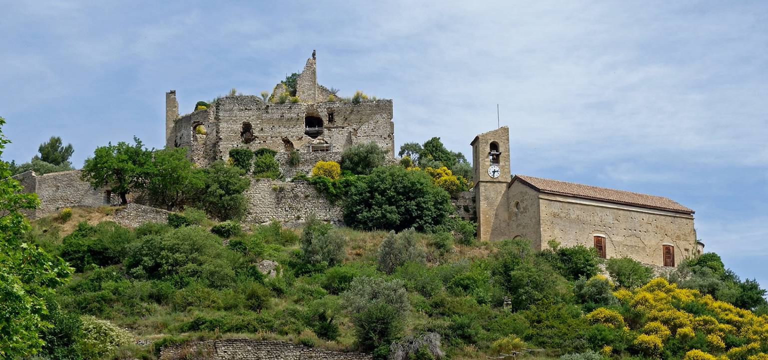
- The Church Saint-Sauveur (11th
century) on the left and the remains of the castle (originally built in the 9th
century) on the right, seen from the entrance of the village. The castle was
once a residence of the bishops of nearby Vaison-la-Romaine.
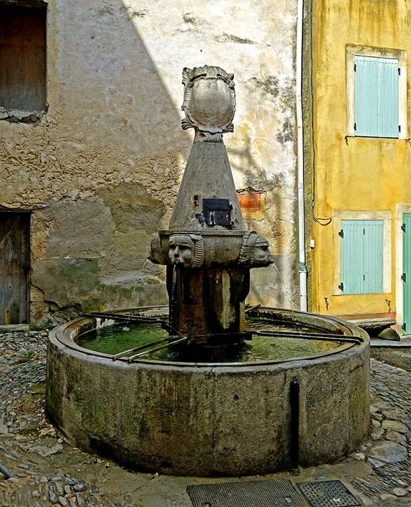
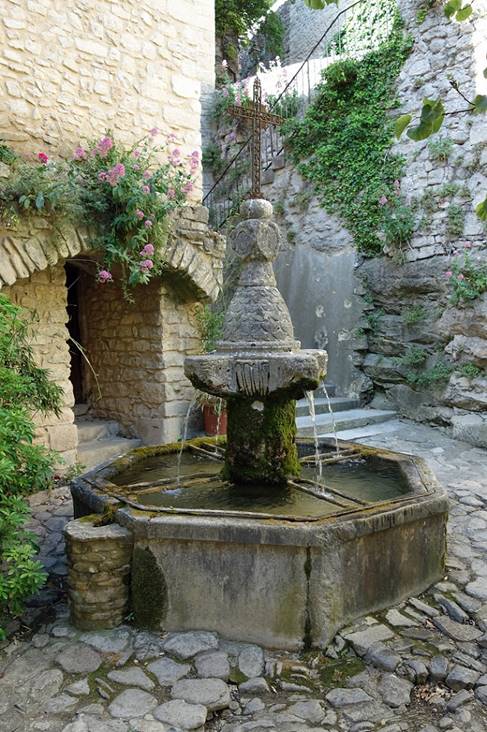
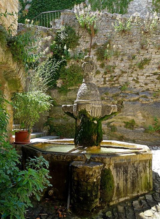
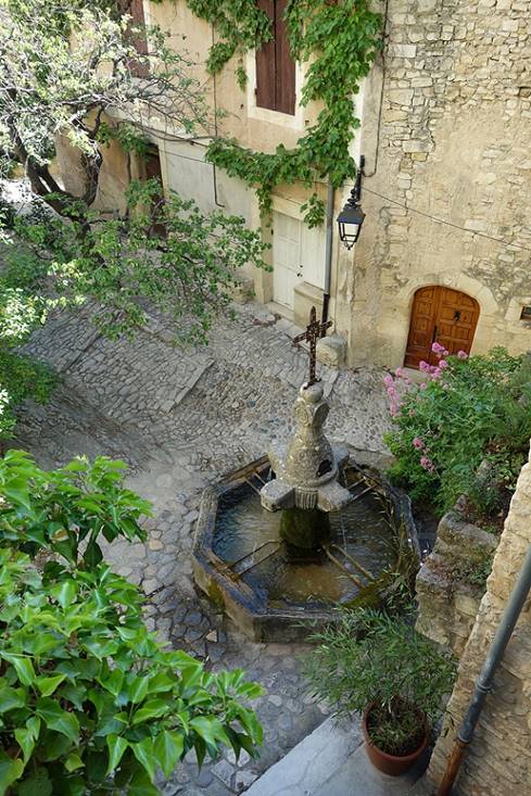
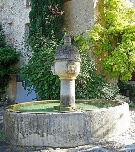
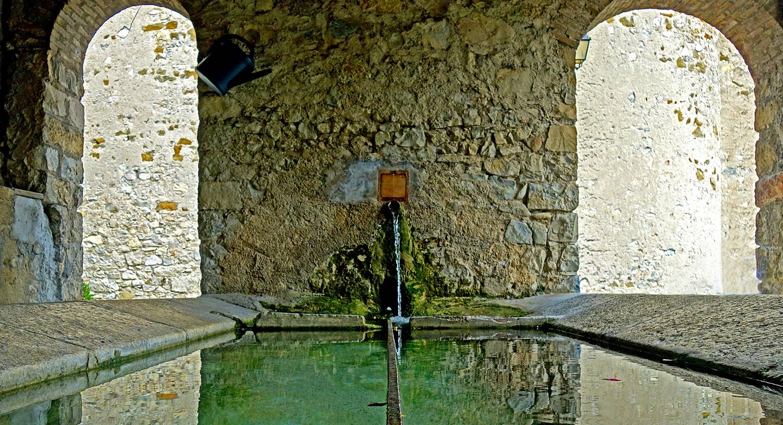
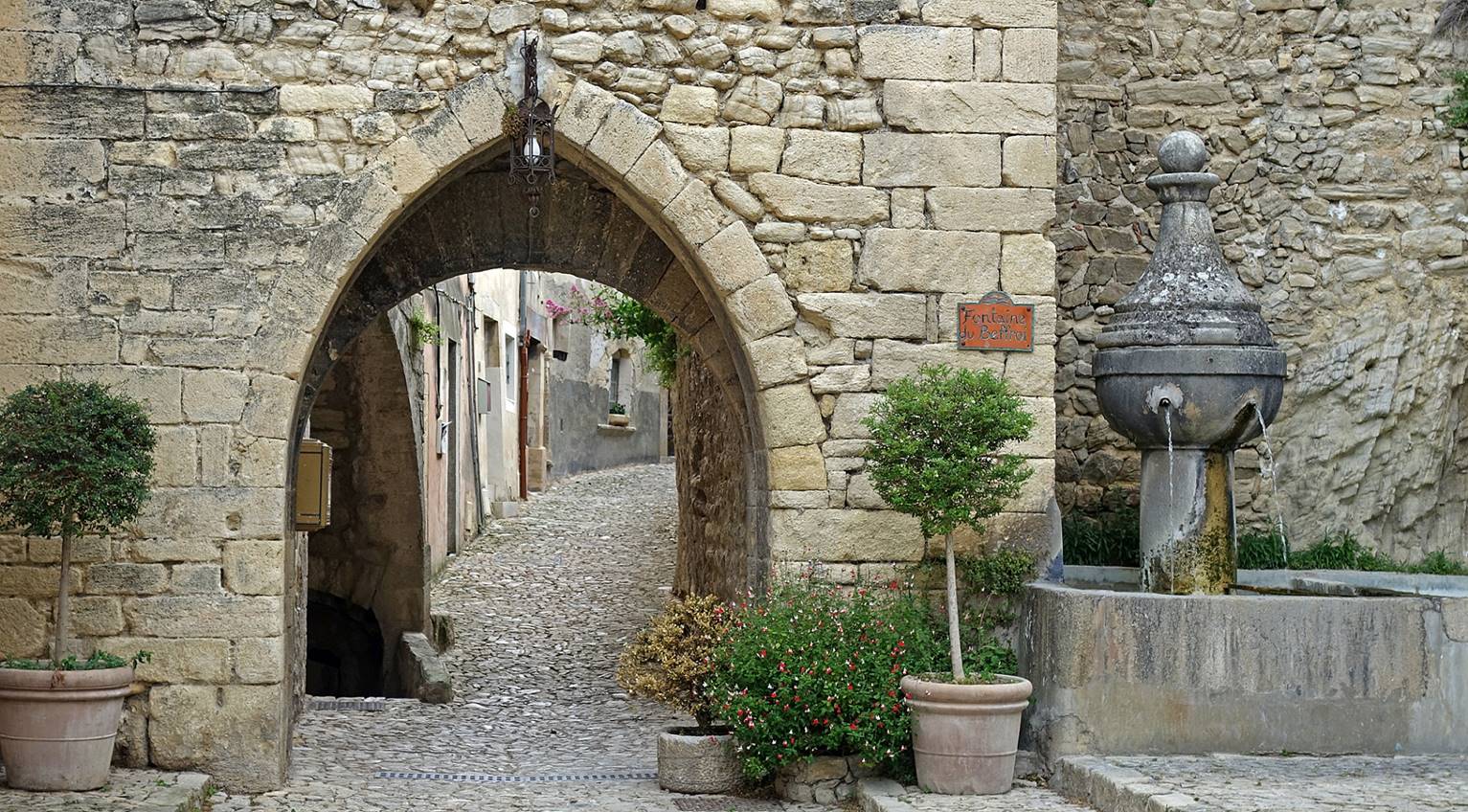
- Pretty fountain on a small square at
the center of the village.
|
|
|
|
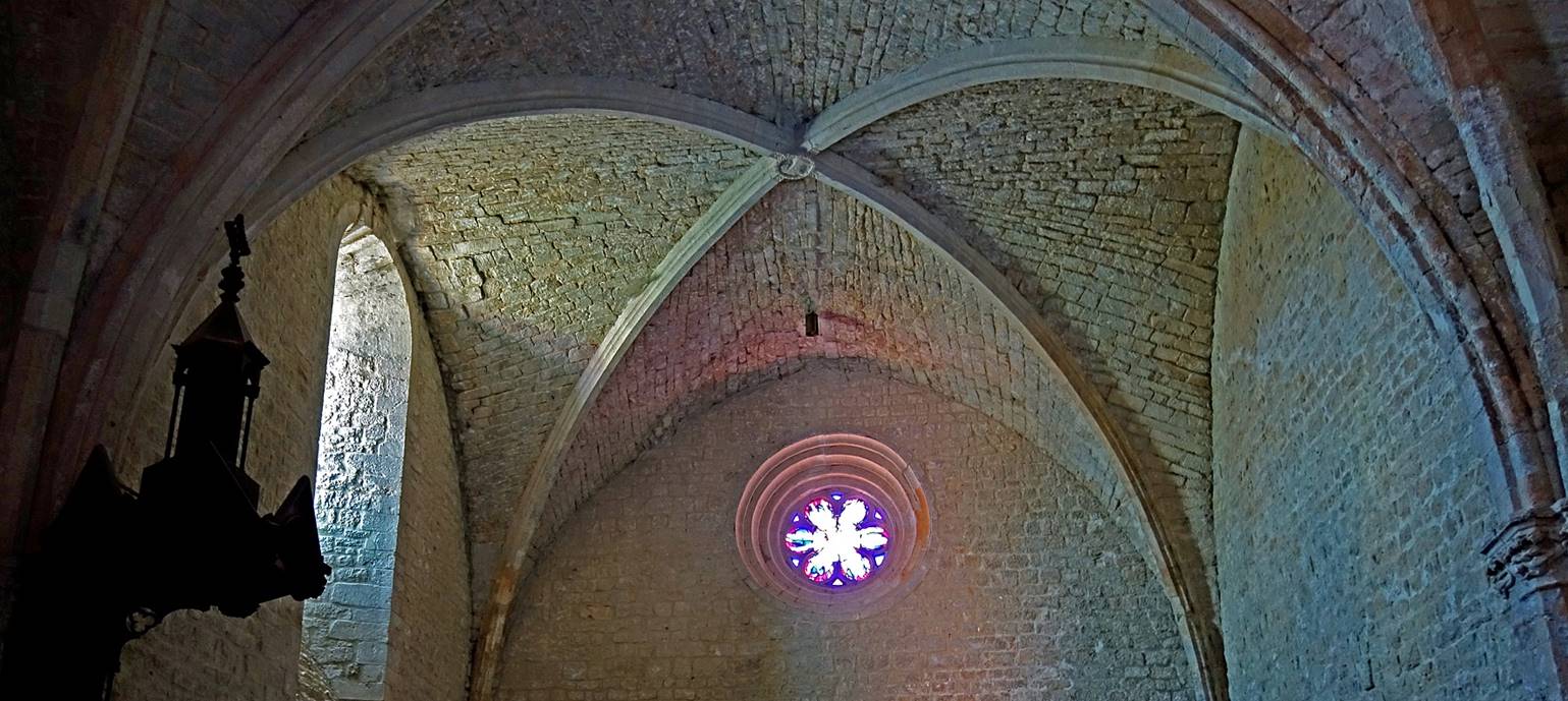
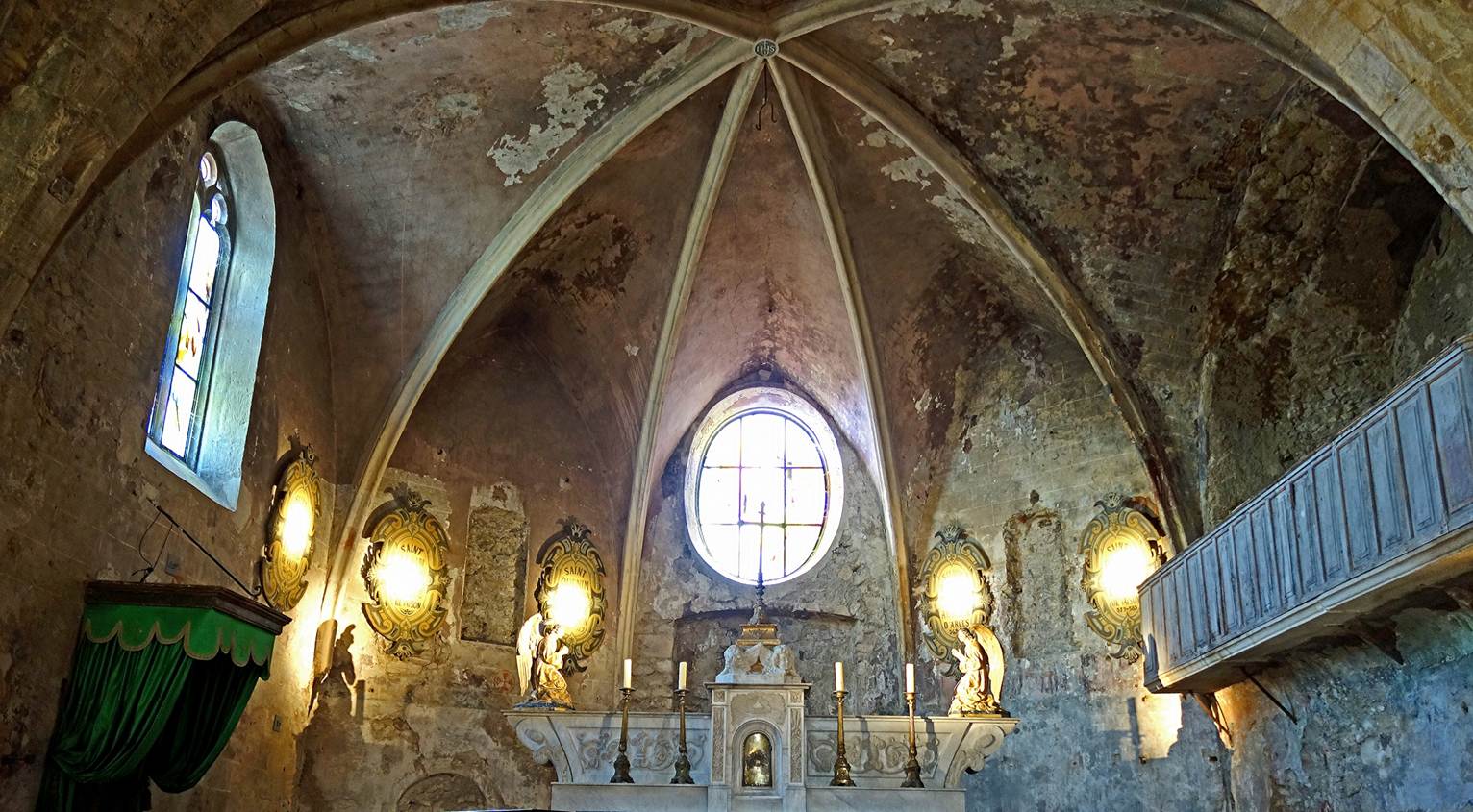
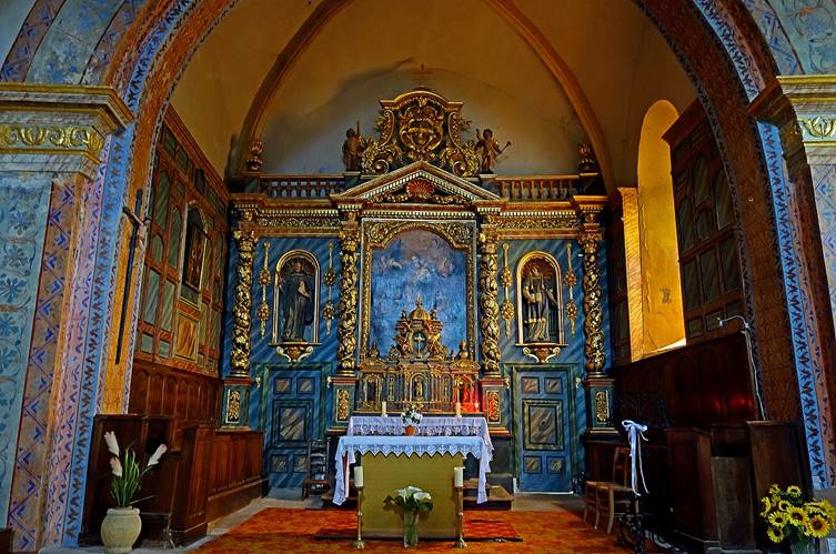
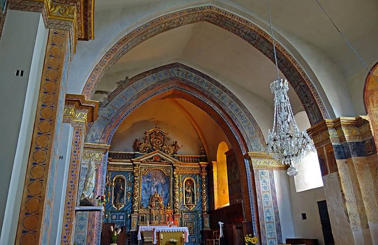
- Inside the Church Saint-Sauveur.
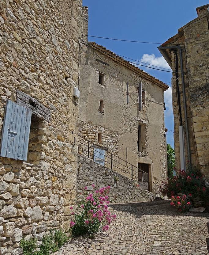
(May 2015, October 2025) Vaison-la-Romaine:
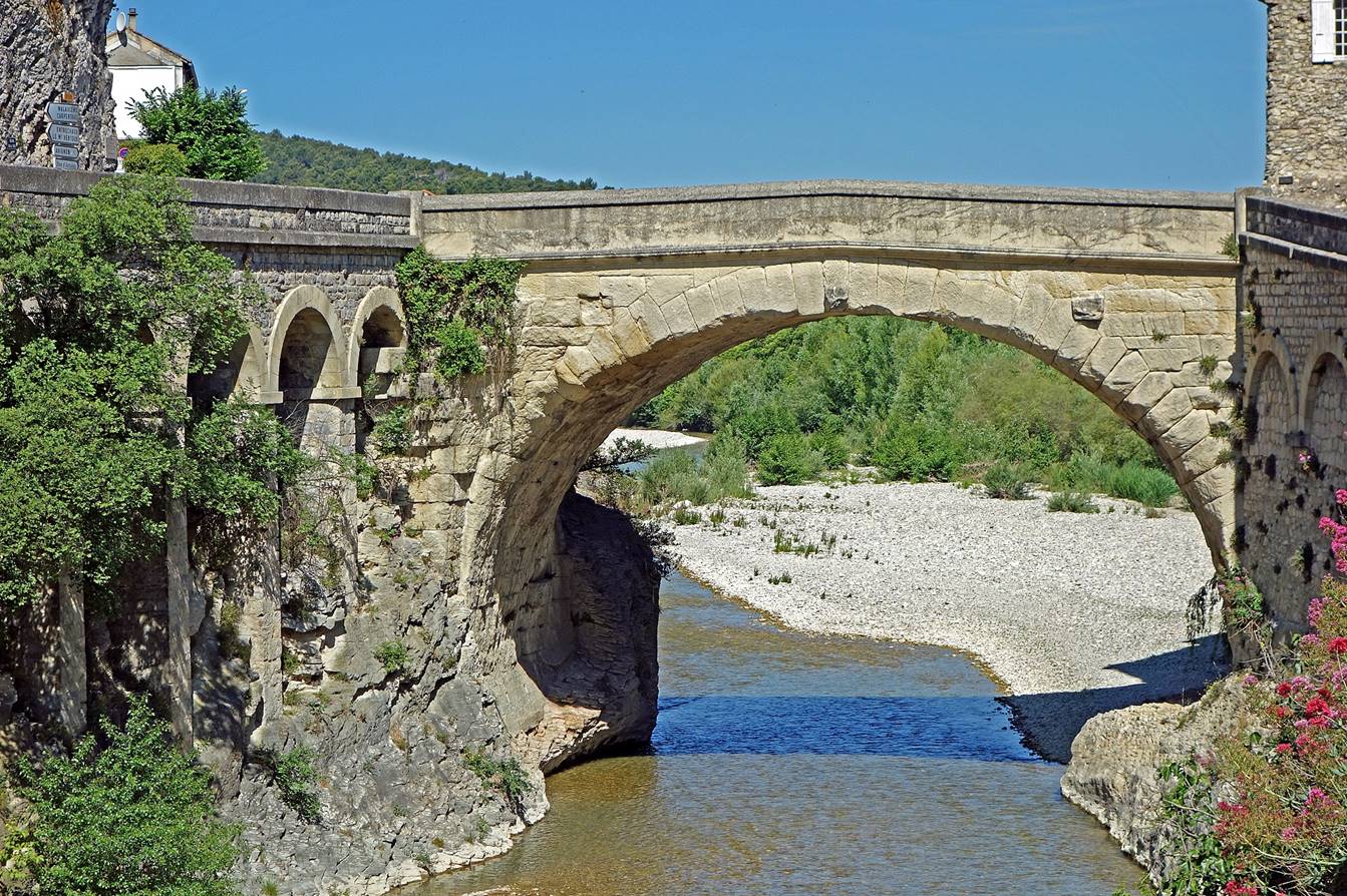
- Roman bridge, perhaps the world′s
oldest bridge still used by cars (2015).
- Medieval city (known as the ″upper
town″ of Vaison-la-Romaine) on a limestone hill above the Ouzeve River (2015). It shows the
cathedral Sainte-Marie-de-l'Assomption standing on
the edge of the cliff and forming part of the rampart of the upper town,
- Two other views of the upper town,
from the lower town of Vaison-La-Romaine and from the Roman bridge (2025),
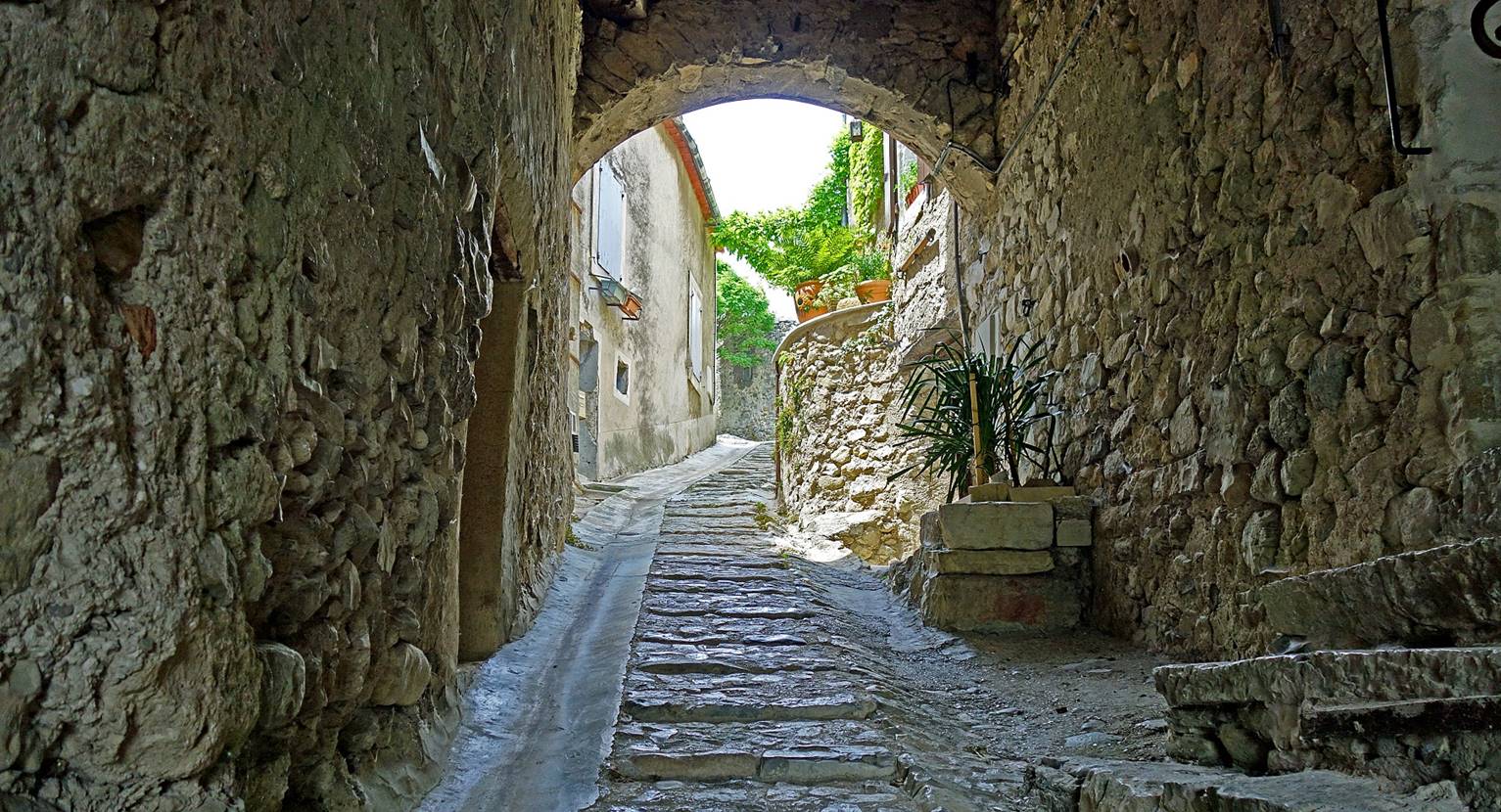
- In the medieval-looking alleys of the upper town (2025).
|
|
|
|
|
- Apse of the cathedral Sainte-Marie-de-l'Assomption
(2025). This cathedral (visible above in the photo taken from the bed of the Ouveze) was erected in the 15th century on the site of an
older church built in the 12th century.
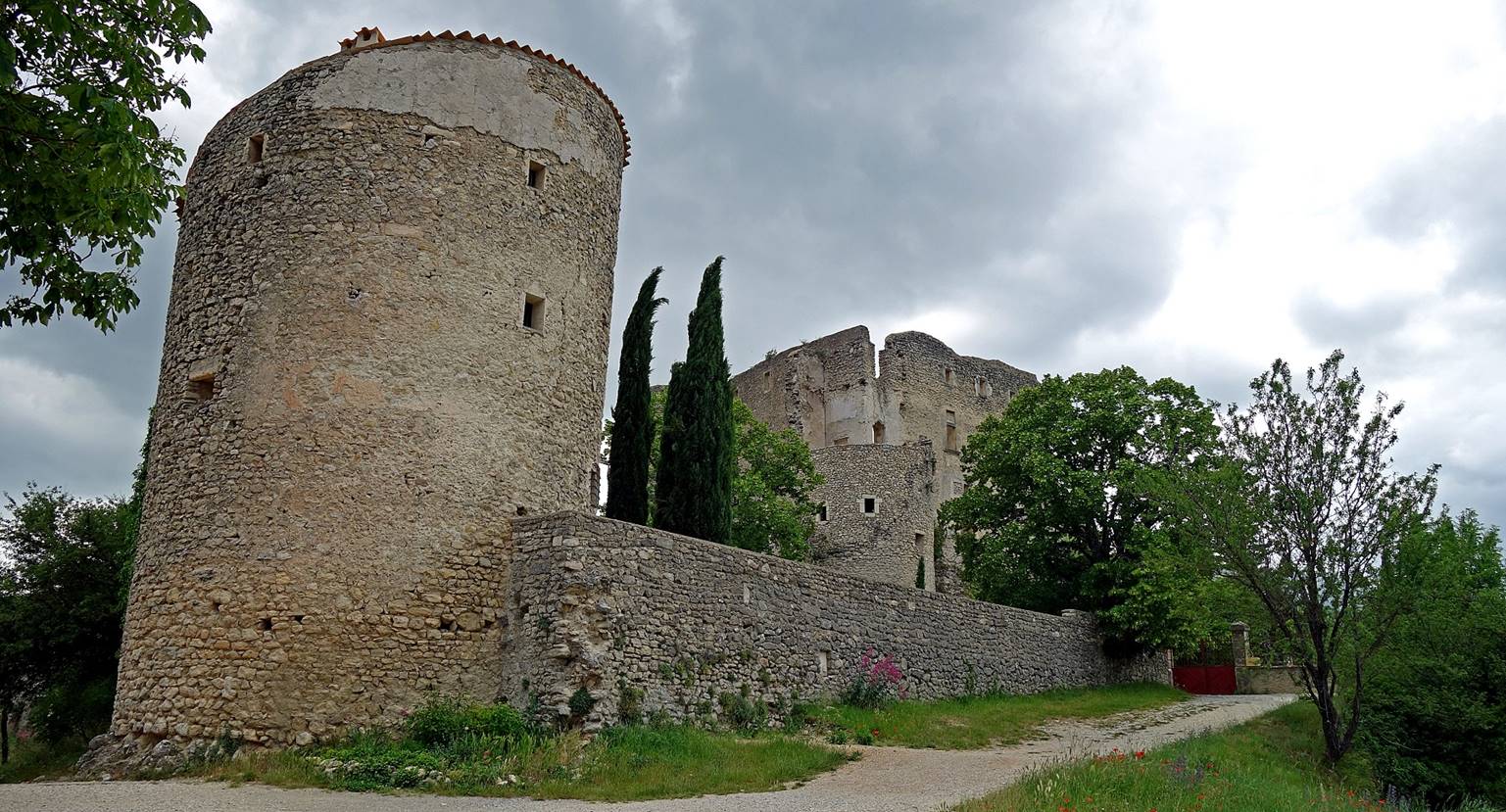
(June 2019) Entrechaux:
- Ruins of the feudal castle (10th and
11th centuries).
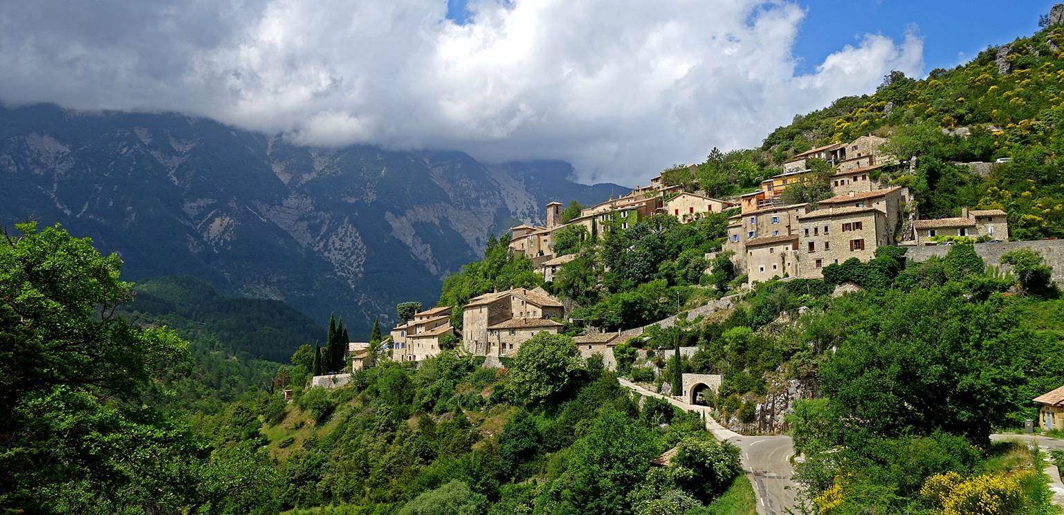
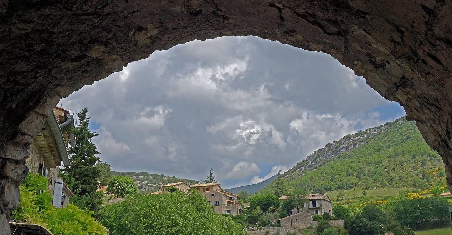
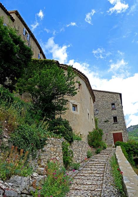
(June 2019) Brantes:
Brantes is a picturesque village built above
the Toulourenc river, below the northern slopes of
Mt. Ventoux. It has been known since the 12th
century, when it was then named Brantule. For most of
its history, except during the French Wars of Religions (1562-1598) when the
Huguenots captured the village, the inhabitants of this isolated village led a
peaceful life. Until the mid-20th century, the region played a pivotal role in
sheep transhumance between Provence to the south and the Alps to the north.
However, in the 1950s and 1960s transhumance was increasingly made with trucks.
By the end of the 20th century, Brantes had lost most
of its population and many houses and buildings had fallen in ruins. Since then
large parts of the village have been restored to their original state, often by
outsiders. Some authenticity has been lost in the process, despite some annual events
related to sheep farming. But, thanks to this effort, the village remains
particularly beautiful.
- Views of Brantes.
Mt. Ventoux is visible in the second photo below,
with its summit hidden in the clouds.
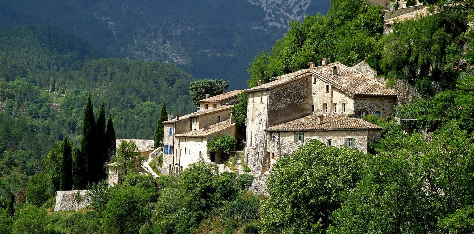
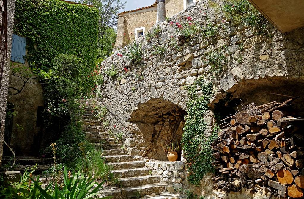
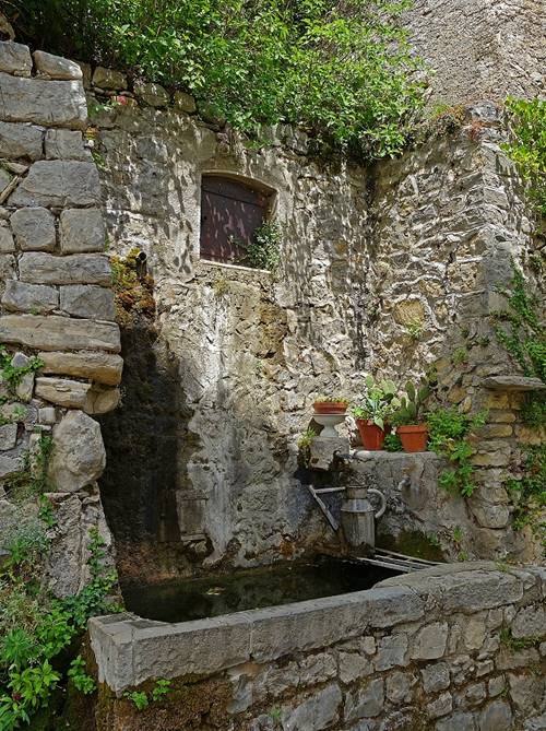
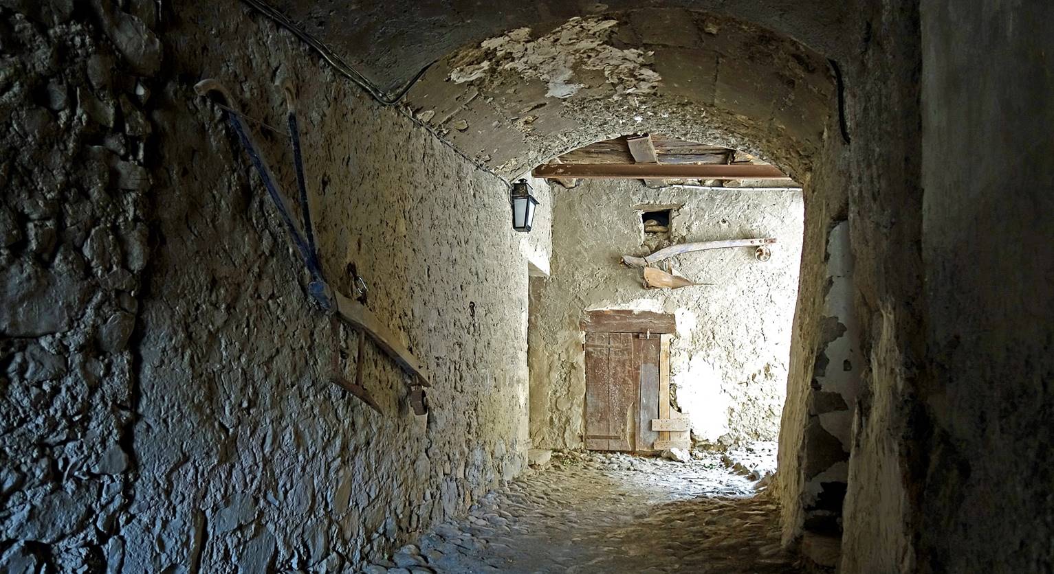
- Inside the village.
|
|
|
|
|
|
|
|
|
|
|
|
|
|
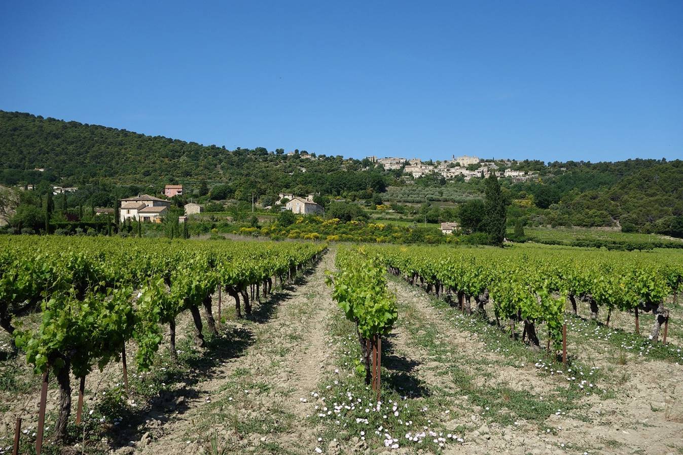
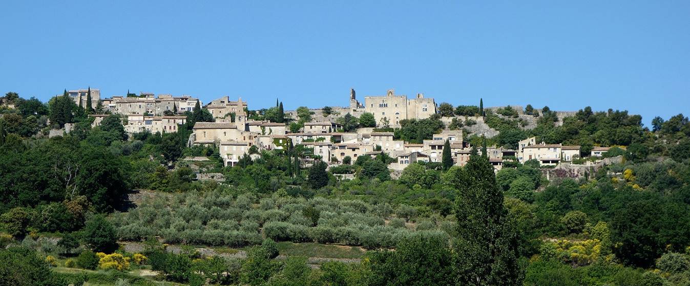
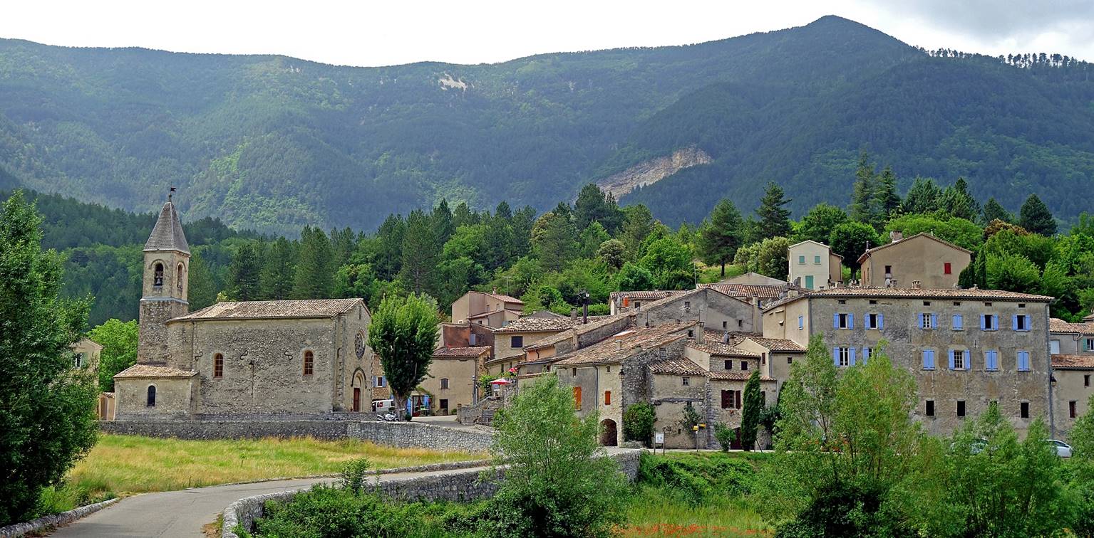
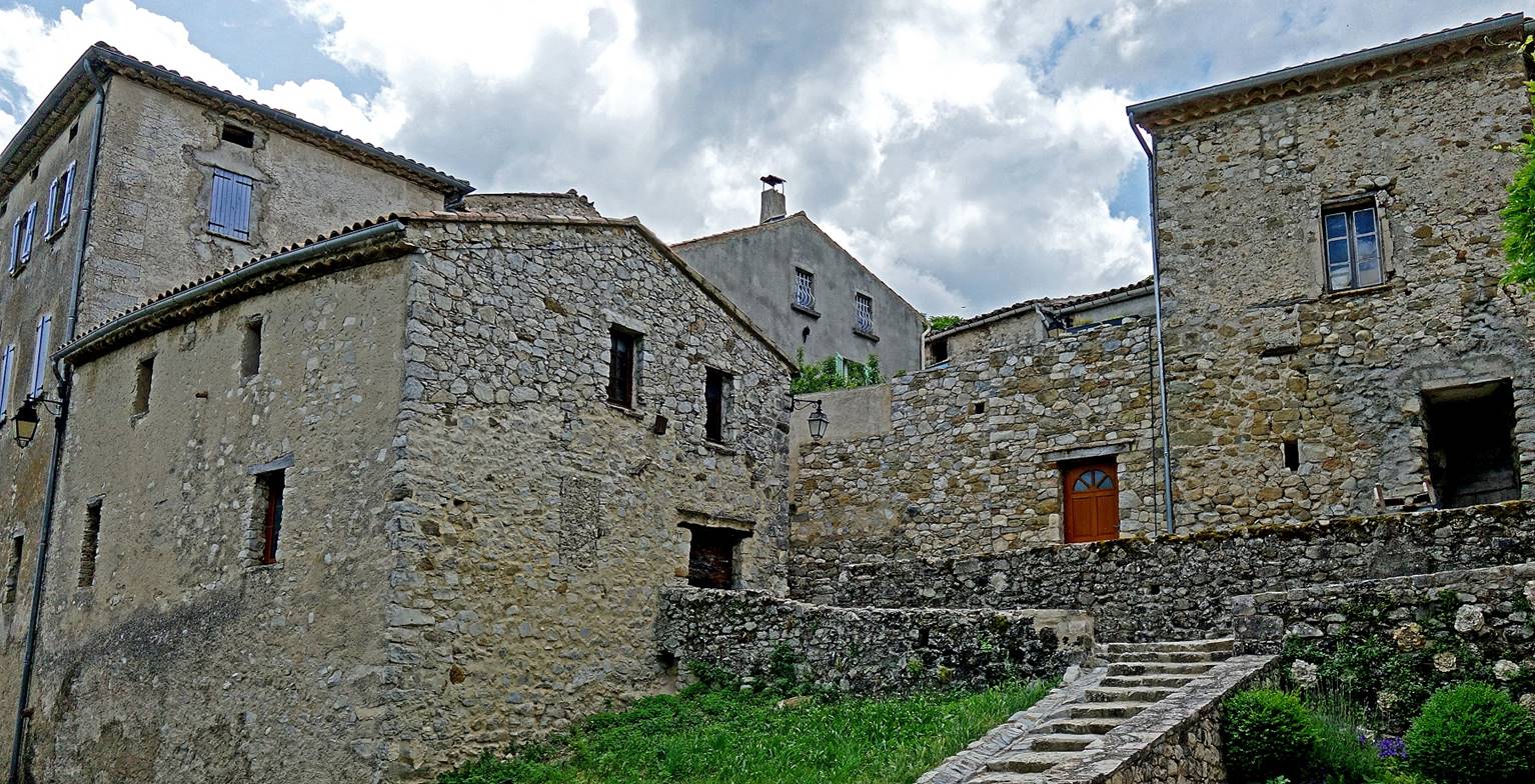
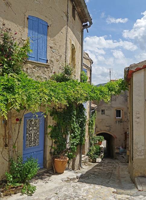
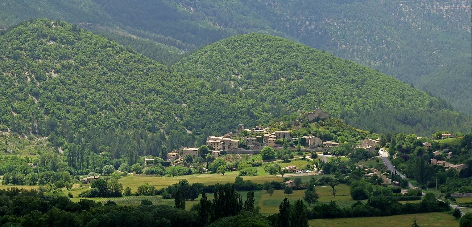
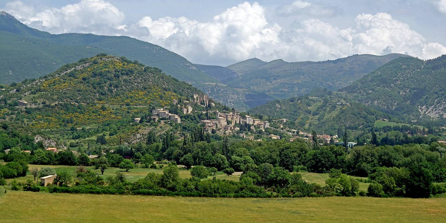
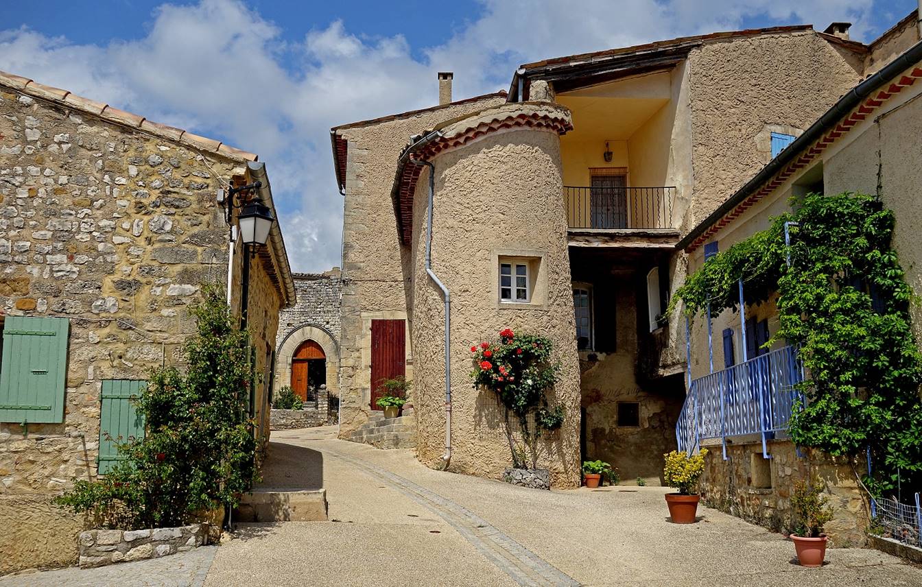
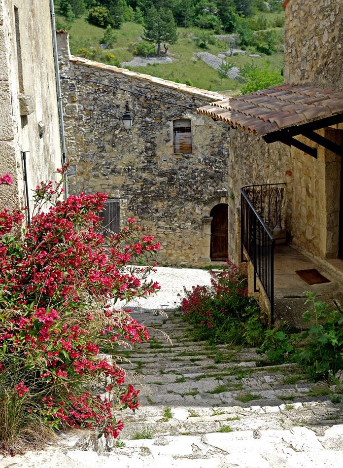
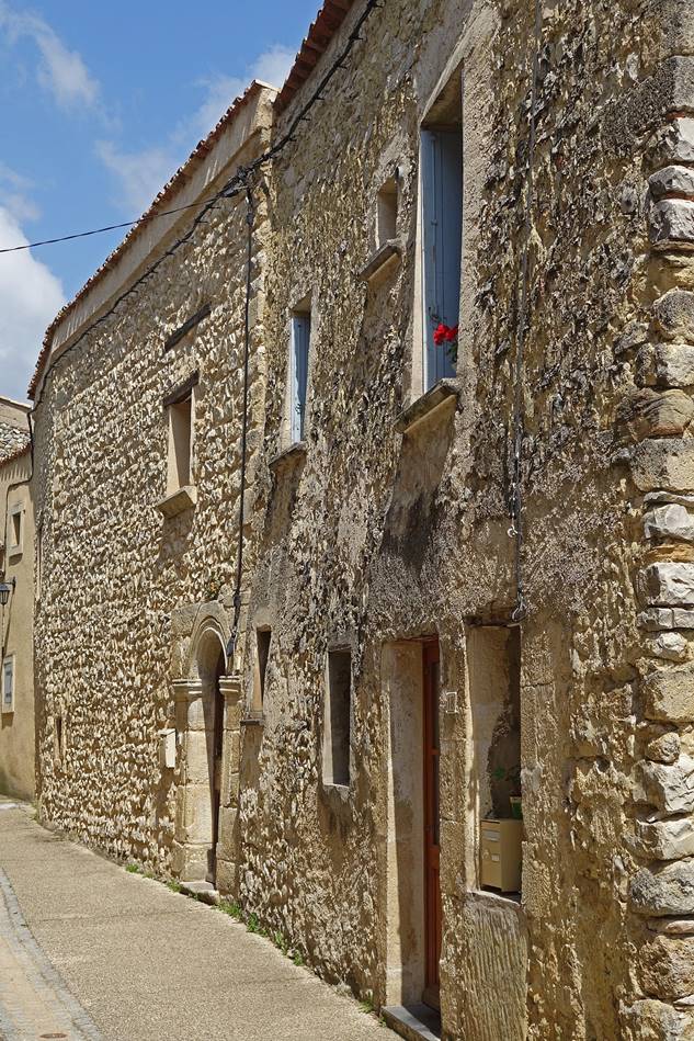
(June 2019) Savoillan:
Another village at the northern foot of
Mt. Ventoux, about 3.5km east of Brantes.
|
|
|
|
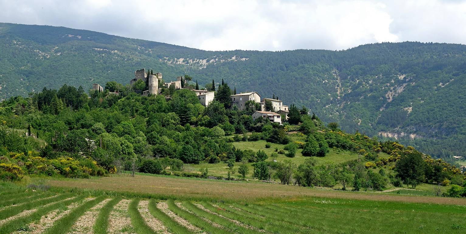
(June 2019) Reilhanette:
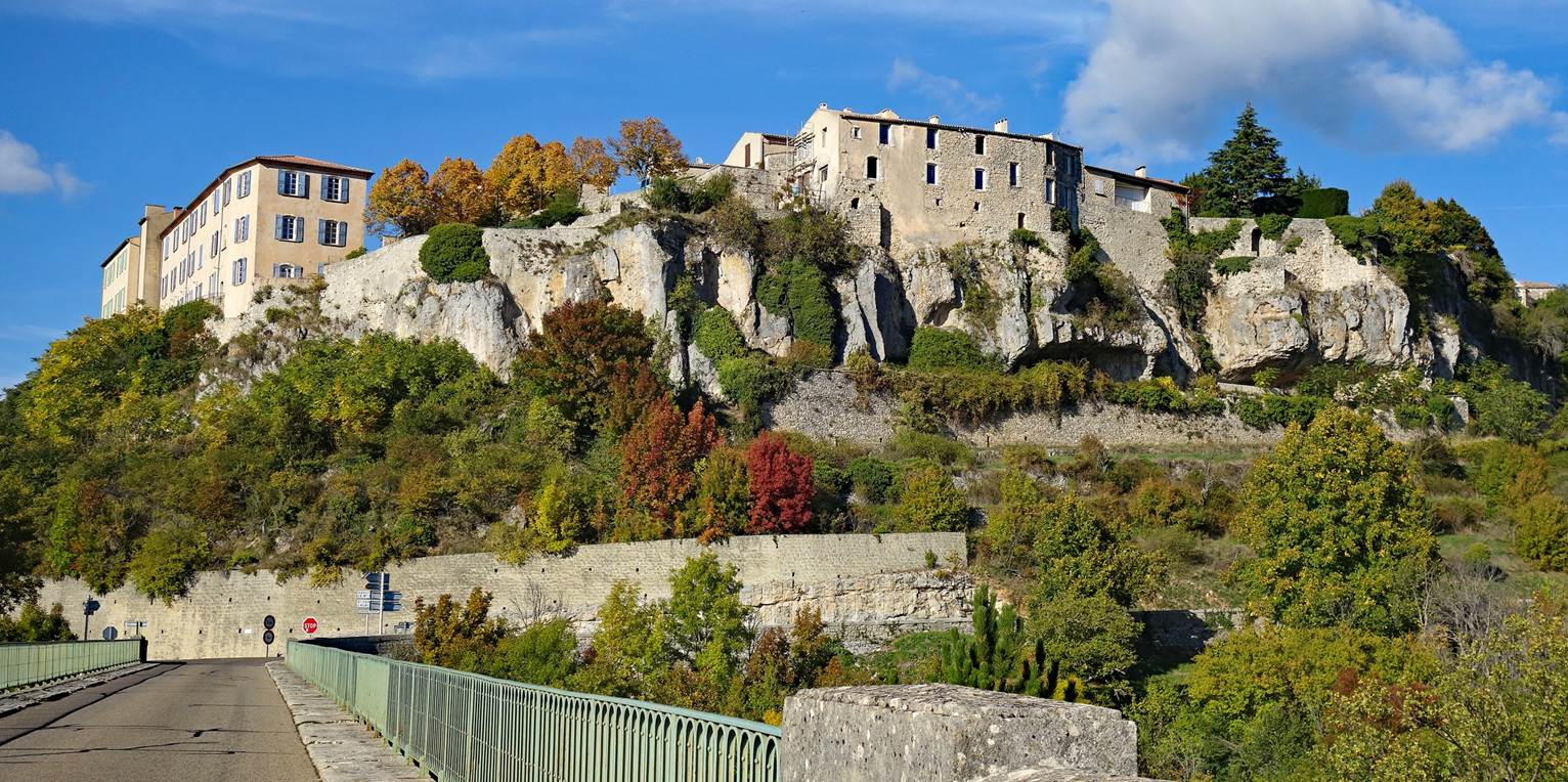
This village, 4km east of Savoillan, stands on a small hill dominated by the ruins of
a 12th-century castle that was destroyed by the French royal troops during the
French Wars of Religions.
-- View of the village from Montbrun-les-Bains
(the next village below).
- Inside the village.
|
|
|
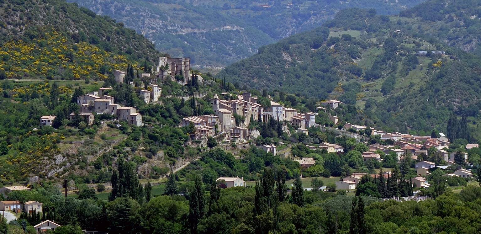
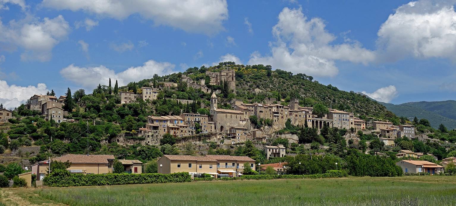
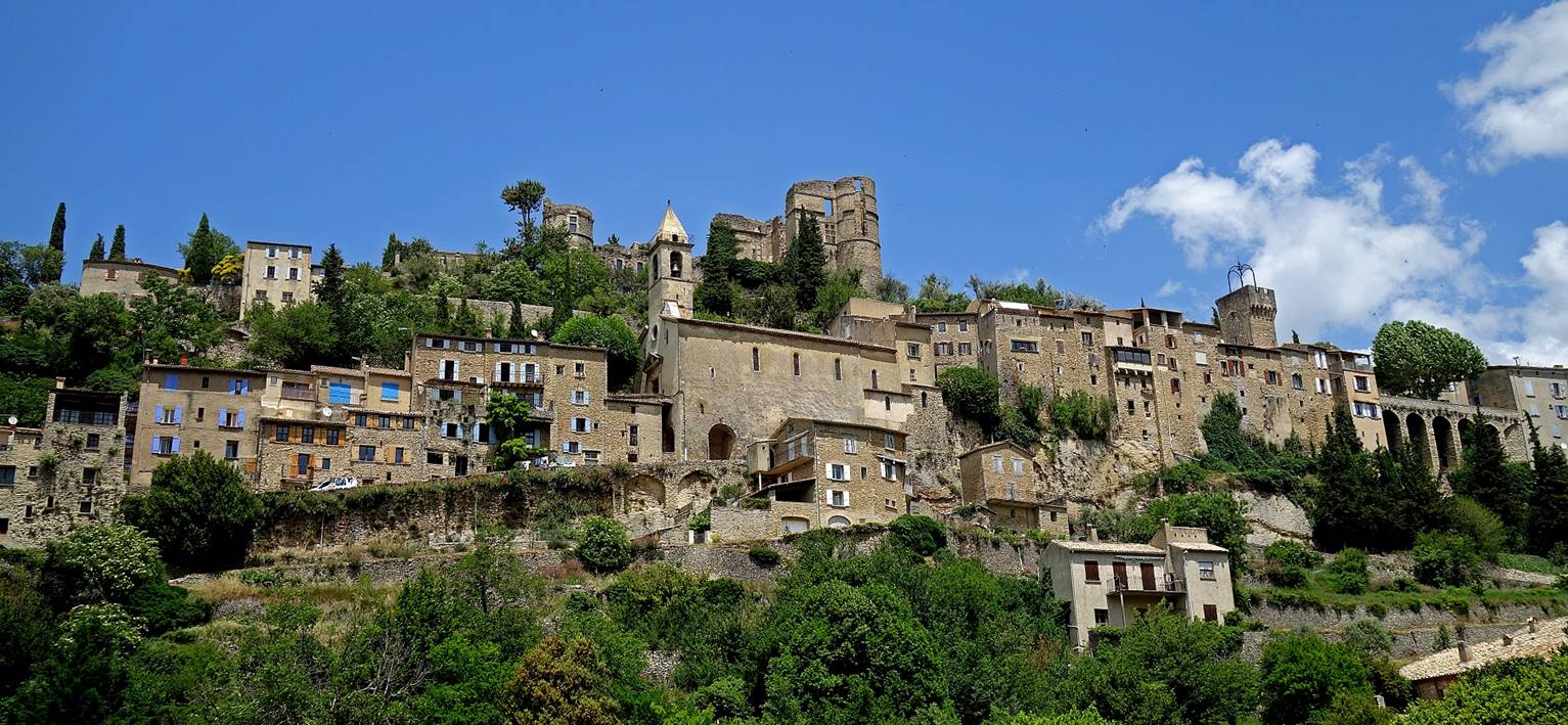
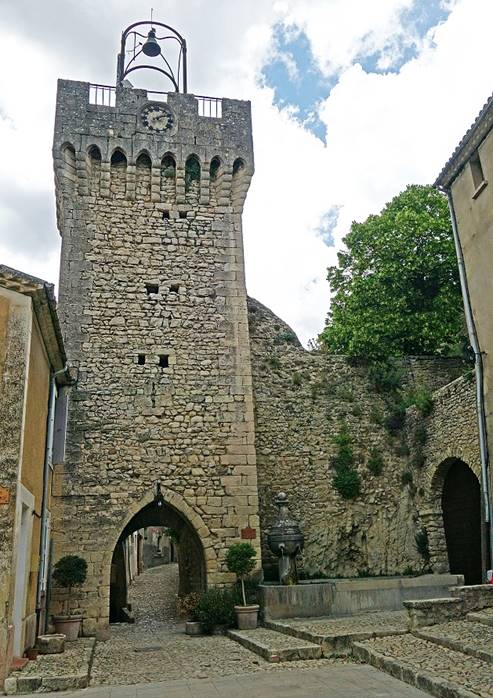
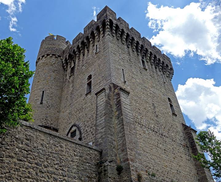
(June 2019) Montbrun-les-Bains:
Montbrun-les-Bains is another superb village (a
relatively large one), 2km east of Reihanette. The
two villages are separated by one of the rare plains in the region, where
aromatic plants and herbs, especially lavender, are cultivated. The thermal
baths of the village have been exploited since the 17th century, but they had
previously been enjoyed by the Romans. During the French Wars of Religions
(1562-1598), the city was the stronghold of the Huguenot troops led by Charles
Dupuy-Montbrun, who was eventually captured by the Royal troops and beheaded in
Grenoble. The castle overlooking the village was then partially destroyed.
- Panoramic view sof
the village and its surroundings.
- Closer views of the village.
|
|
|
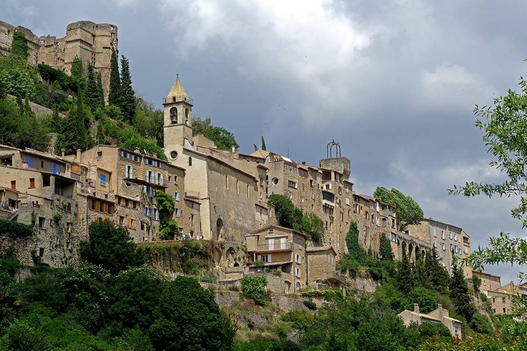
- View from the backside (from the road
toward Aulan) with the remains of the castle at the
top. A lavender field (not blooming yet) is visible at the bottom of the photo.
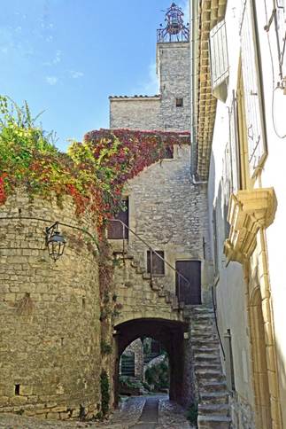
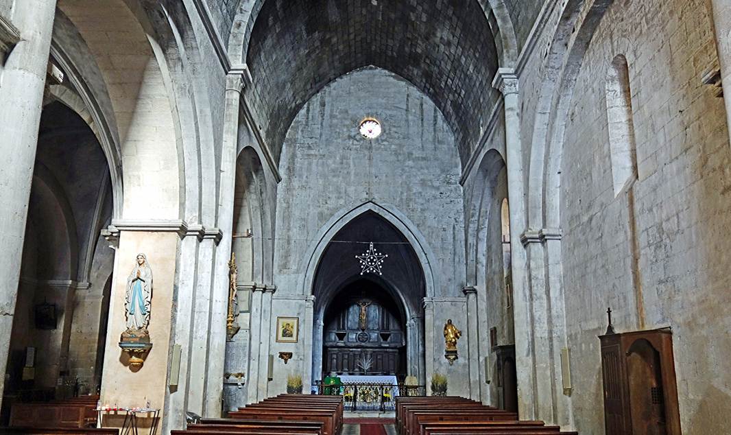
- Inside the village: bell tower, belfry
with iron campanile, old gate below the belfry, and church interior.
|
|
|
|
|
|
|
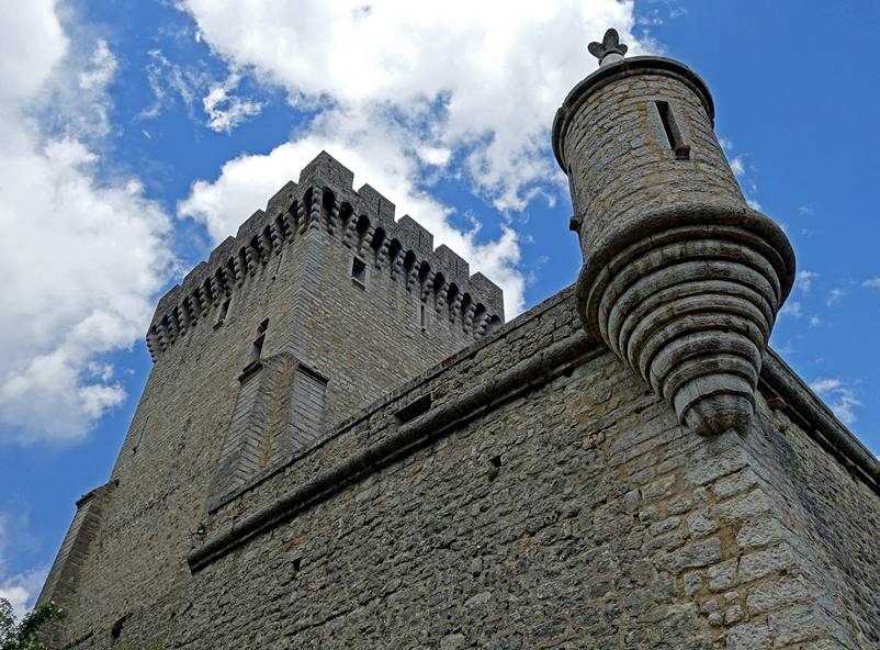
- Some restored towers and walls of the
castle.
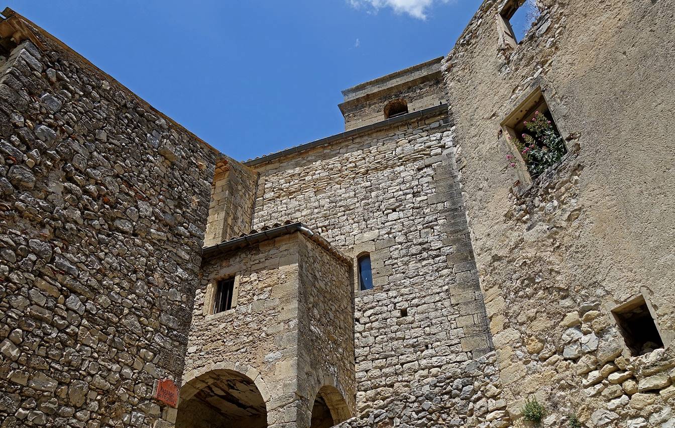
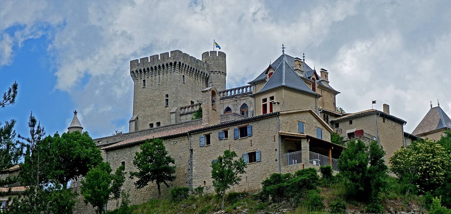
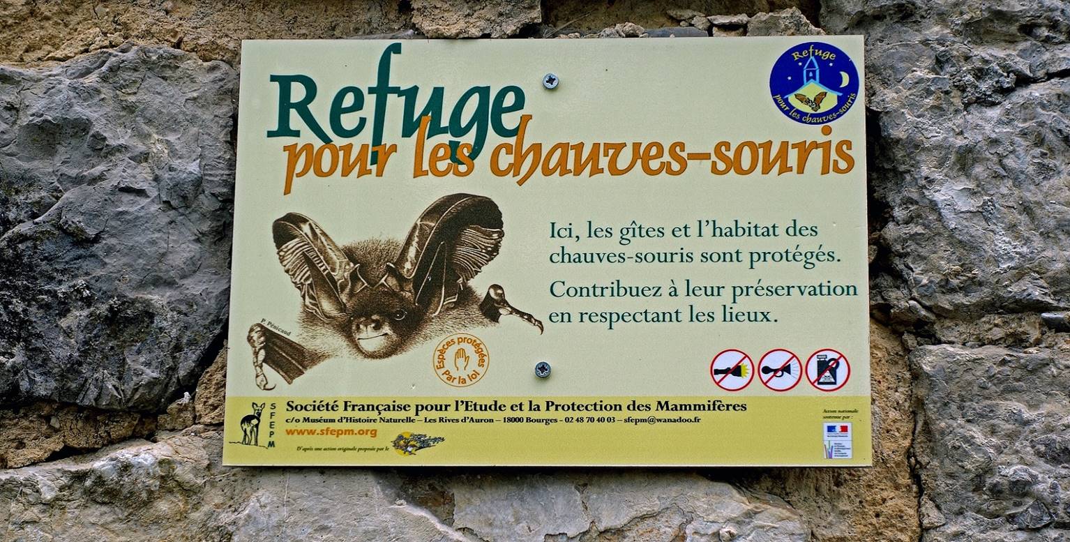
(June 2019) Aulan:
Aulan is a tiny hamlet best known for its
castle. It is located a few kilometers north of Montbrun-les-Bains
at the limit between the former French provinces of Provence and Dauphine. At
an elevation of 740m the castle was originally built in the 12th century (above
a former Roman oppidum) by order of the Baron de Mevouillon
(a local lord) to protect the valley of the Toulourenc
river. A bigger village than today′s hamlet then developed around the
castle, under its protection. The castle was partially restored in the 16th
century, burned by the French revolutionaries in 1792, largely remodeled in a
Viollet-le-Duc style during the second half of the 19th century, and partially
damaged during the First World War. It has been owned by the Suarez d′Aulan family since 1635. Members of this family
still live there. Today the castle is also an officially protected habitat for
bats (see sign below).
|
|
|
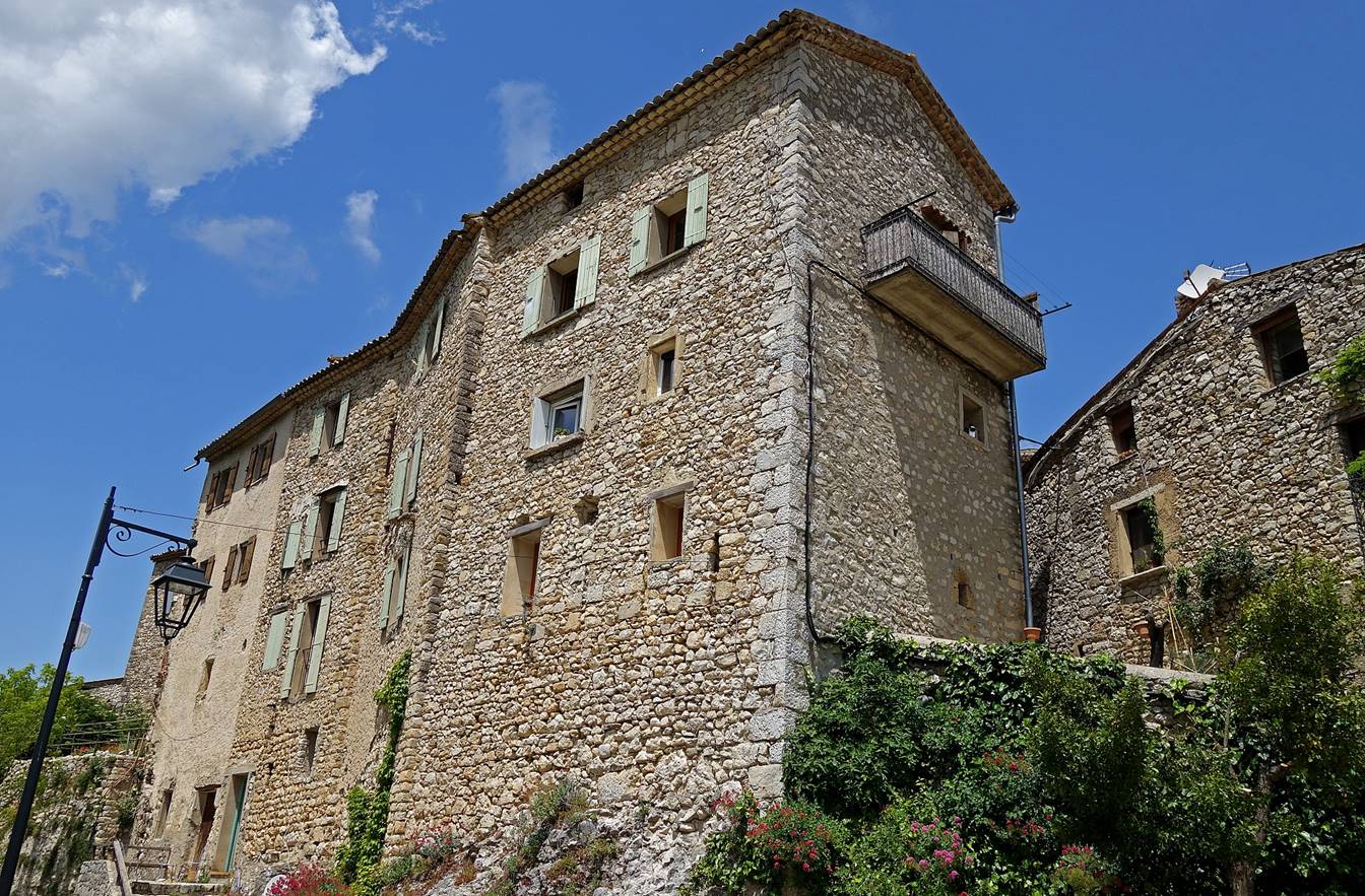
(June 2019) Aurel:
This village sits on a plateau southeast
of the Ventoux massif, surrounded by lavender fields.
|
|
|
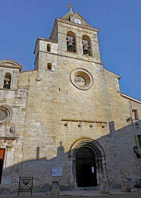
(October 2025) Sault:
Established in the 11th century, this old fortified
village was built on a rocky outcrop offering some protection against the
threat of invasion. It overlooks a large plain now famous for its lavender
fields.
View of the village from the south.
Church called Notre Dame de la Tour. First built in the 12th
century, it was partially rebuilt in the 14th century and again at the end of
the 16th century. It incorporates some elements of the village's old
fortification.
|
|
|
![]()
Back to
main France page | Back to my
mountaineering/trekking/travel webpage