Shei-Pa
National Park, Taiwan:
Wuling Valley to Xiaobajian and back (October 18-21, 2015)
![]()
Return
to main Taiwan 2015 webpage
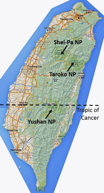
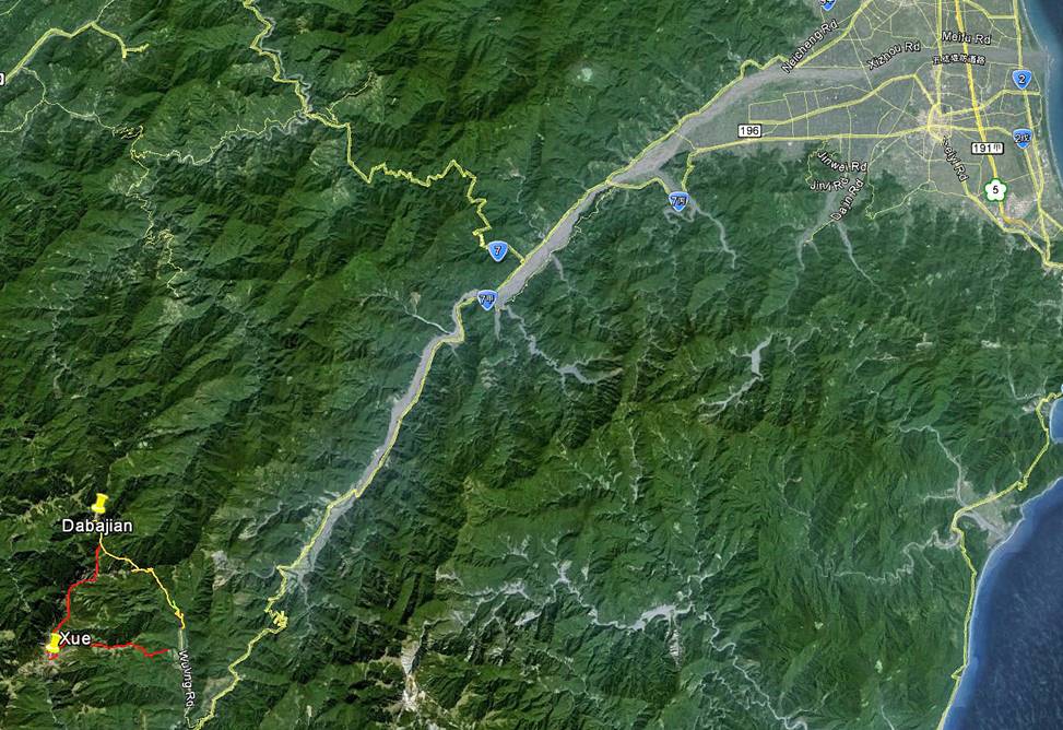
Location of Shei-Pa National Park and
trek.
|
|
|
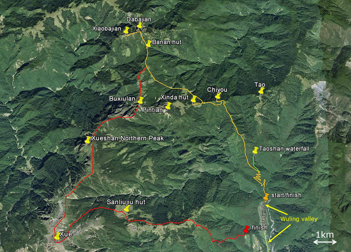
Trek itinerary: trek actually done is in orange, initially
intended trek is in red.
Shei-Pa
National Park is located slightly to the north of central Taiwan. It
contains 51 peaks above 3000m, including Taiwan‛s second highest peak,
Xue Shan or Snow Mountain (3880m). The main entry point is Wuling
valley.
I
had initially planned a 6-day trek in Shei-Pa NP. My goal had been to follow
the itinerary drawn in orange and red lines in the above map, through Xiaobajian Shan (3418m), Xue Shan
(3880m), and a few other peaks. However, a coming typhoon forced me to shorten
this trek to 4 days. Instead, after reaching Xiaobajian Shan (2 days) I
retraced the path drawn in orange back to Wuling
valley (2 more days). So, the trek started and finished at the end of the road
in Wuling valley, with the first and third nights spent in Xinda hut and the
second night in Banan hut. The forecasted typhoon eventually lost intensity
upon reaching Taiwan and morphed into a conventional rain storm. Nevertheless,
it would not have been much fun being in the mountain at that time, as the
ridge between Xiaobajian Shan and Xue
Shan include exposed sections. Unfortunately, Taiwanese National Parks deliver
trekking permits in advance for specific days and these dates cannot be
adjusted to weather conditions.
This
trek is 28km-long and took me 22h of effective hiking spread over 4 days. I was
helped by an excellent English-speaking guide/porter named T.J., who had been
provided by Mr. Chiang-ching Chuan
(全蔣清):
+886-0921-486-289
diandian0583@gmail.com, https://www.facebook.com/people/%E5%85%A8%E8%94%A3%E6%B8%85/100003768951071
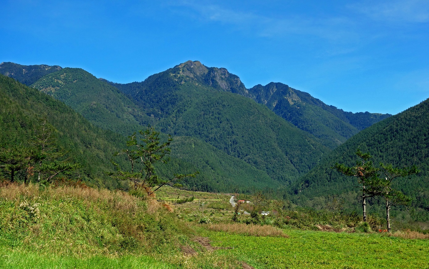
Wuling valley:
Northern end of Wuling valley
(elevation: about 2000m) with three visible peaks: Chiyou
Shan (at the far left of the photo, 3303m), Tao Shan (center, 3325m), and
Kalahei Shan (right, 3133m).
The Chichiawan
River in Wuling valley is home to a unique species of
salmon, the Formosan landlocked salmon, a survivor of
the glacial age.
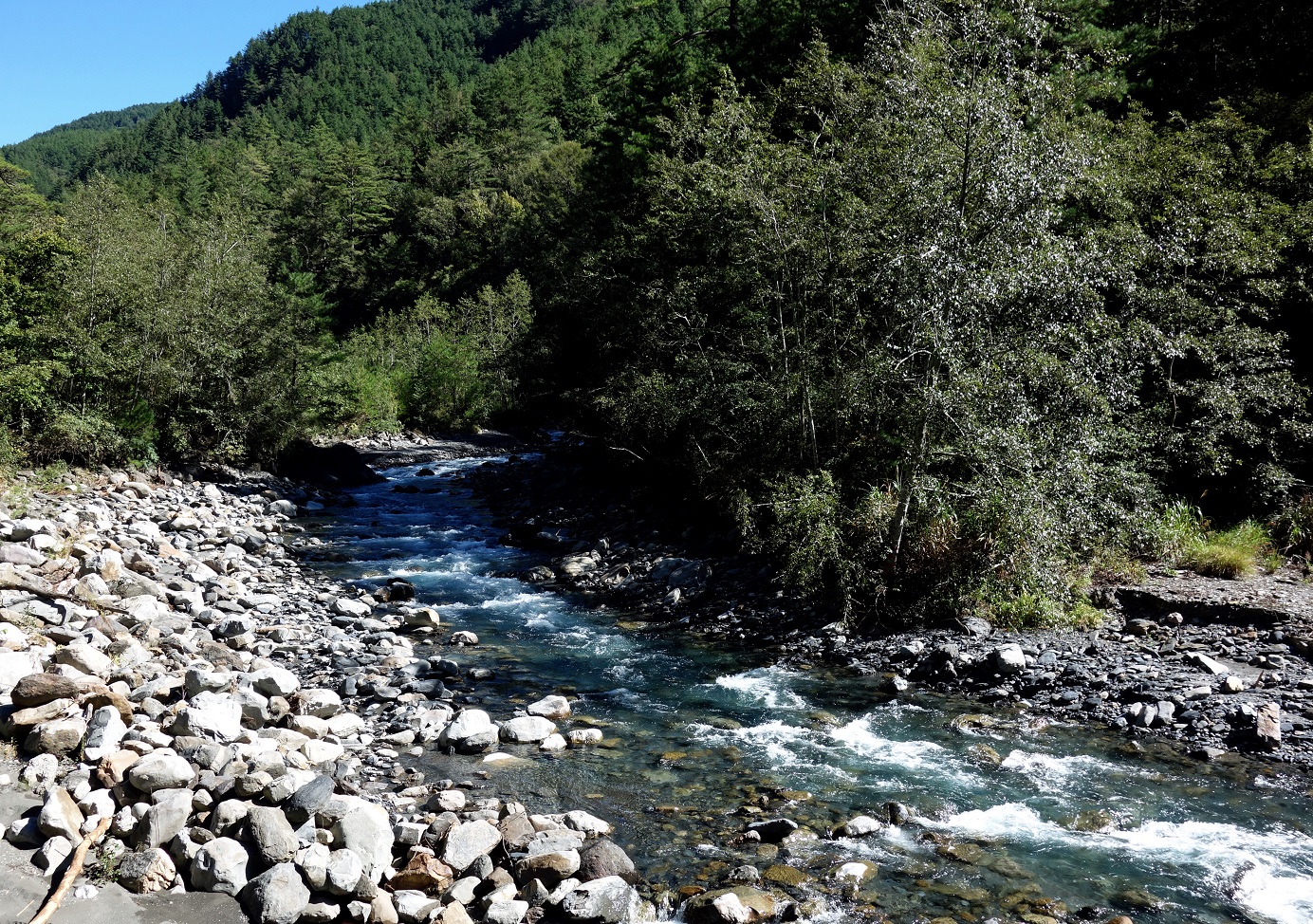
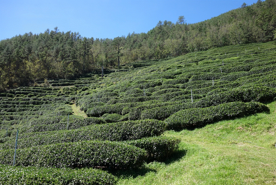
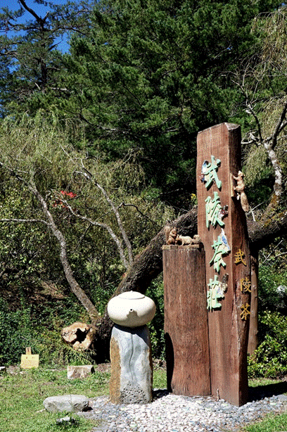
Wuling valley is also renown for its high-altitude
tea, which grows at around 2200m on the east-facing slopes of Xue Shan.
|
|
|
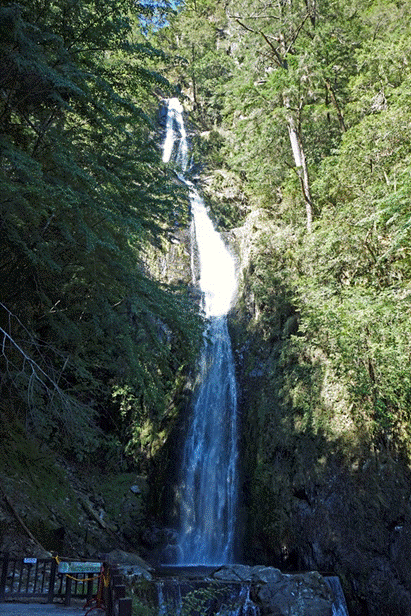
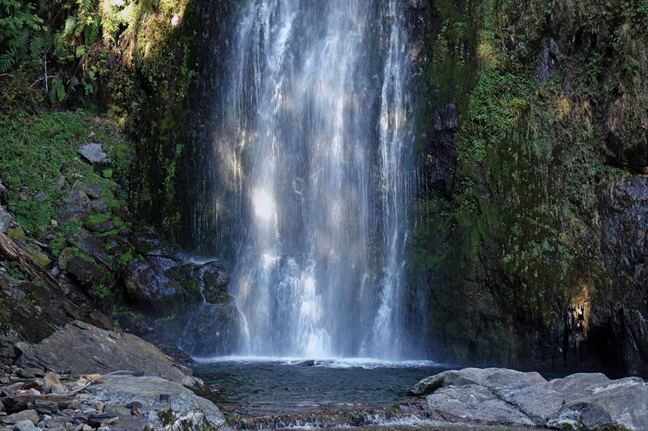
Located below Tao Shan, the Taoshan
waterfall is easily accessible by a gently sloped and cemented trail. It is a
major attraction for weekend tourists.
|
|
|
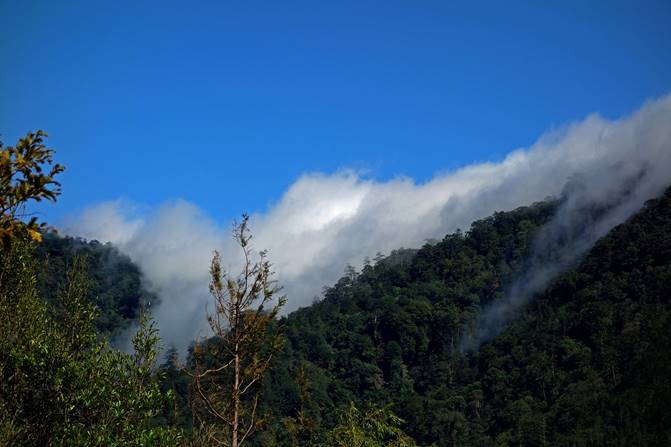
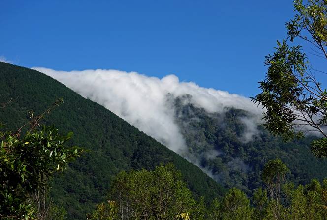
Low clouds coming from the east, on the
eve of the first trekking day. Not a good sign.
|
|
|
Day 1: Wuling Valley to Xinda
hut
On the first day of trekking we climbed from the northern end of Wuling
valley to Xinda hut, with a short side walk to Chiyou Shan. The steep trail
allowed us to reach the ridge between Tao Shan and Pintian
Shan, some 1300m above Wuling valley, in a little more than 4 hours. We then
followed the Sixiu trail along this ridge to Xinda hut. This trail connects
four mountains, Kelaye Shan, Tao Shan, Chiyou Shan, and Pintian Shan, hence its
name ″Sixiu″ which means ″four shows″.
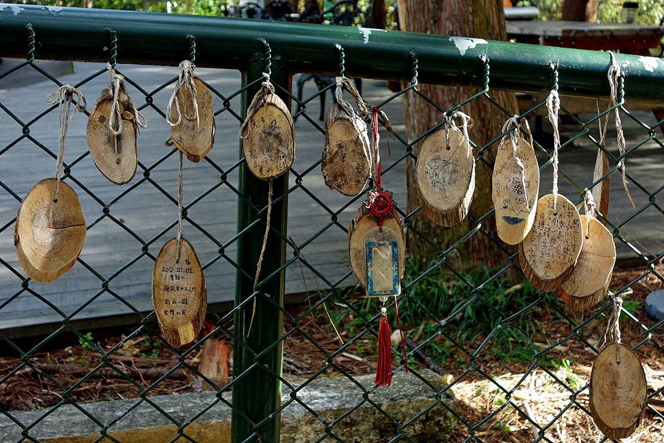
Wishes expressed by hikers at the start of the trek.
Tao Shan seen
during the ascent to the ridge.
View of Nanhu Shan (3536m) in Taroko NP,
which lies to the east and south-east of Shei-Pa NP.
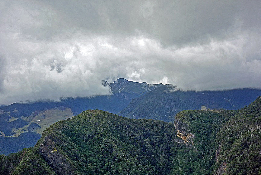
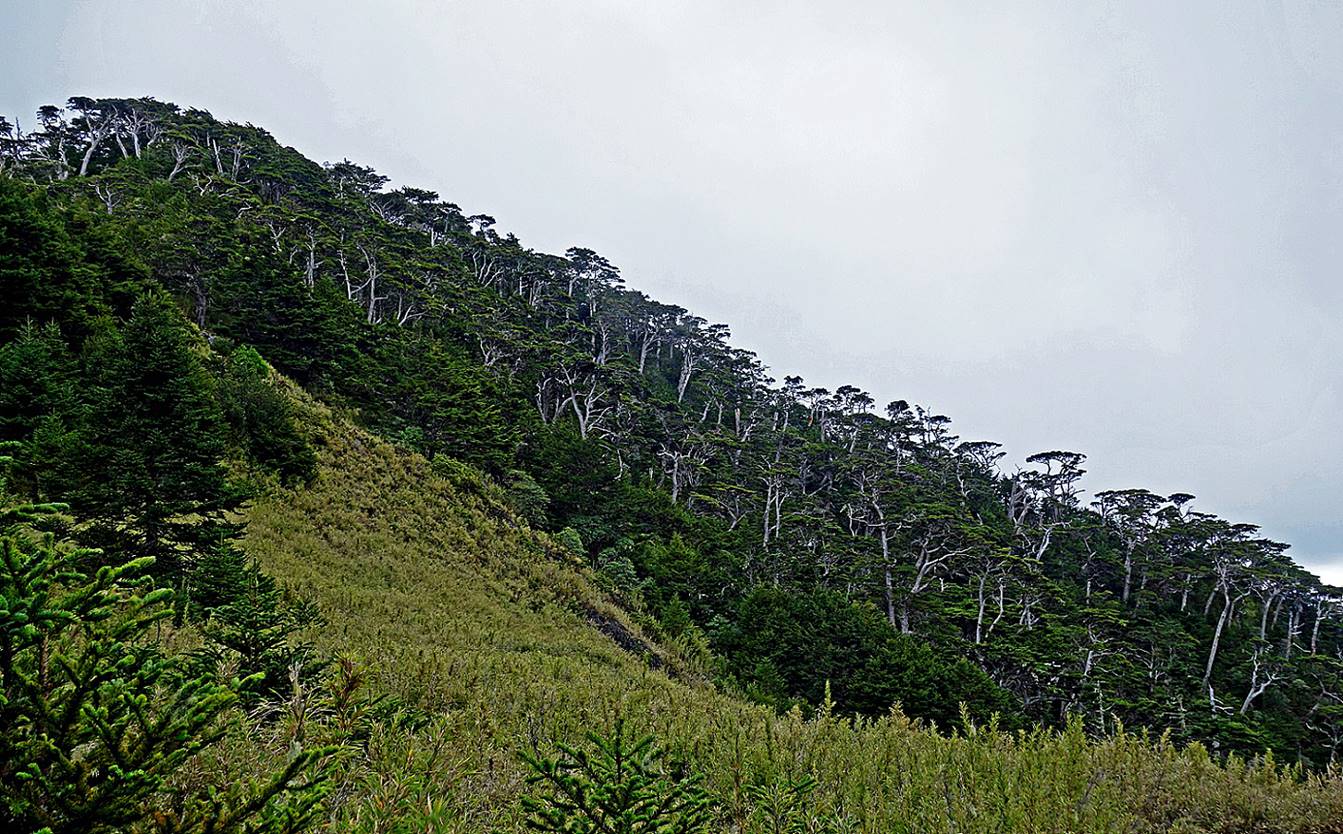
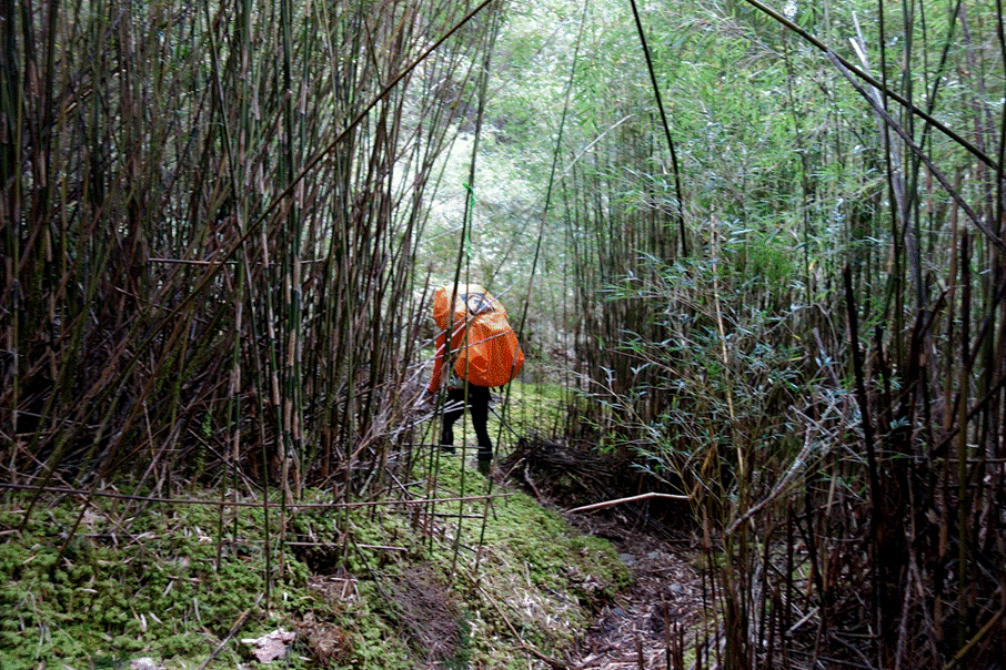
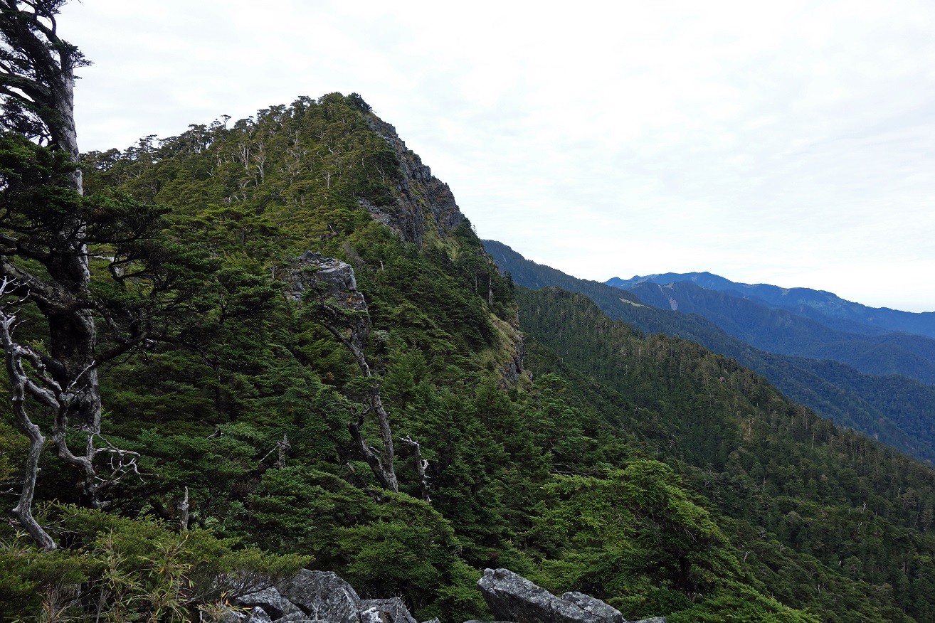
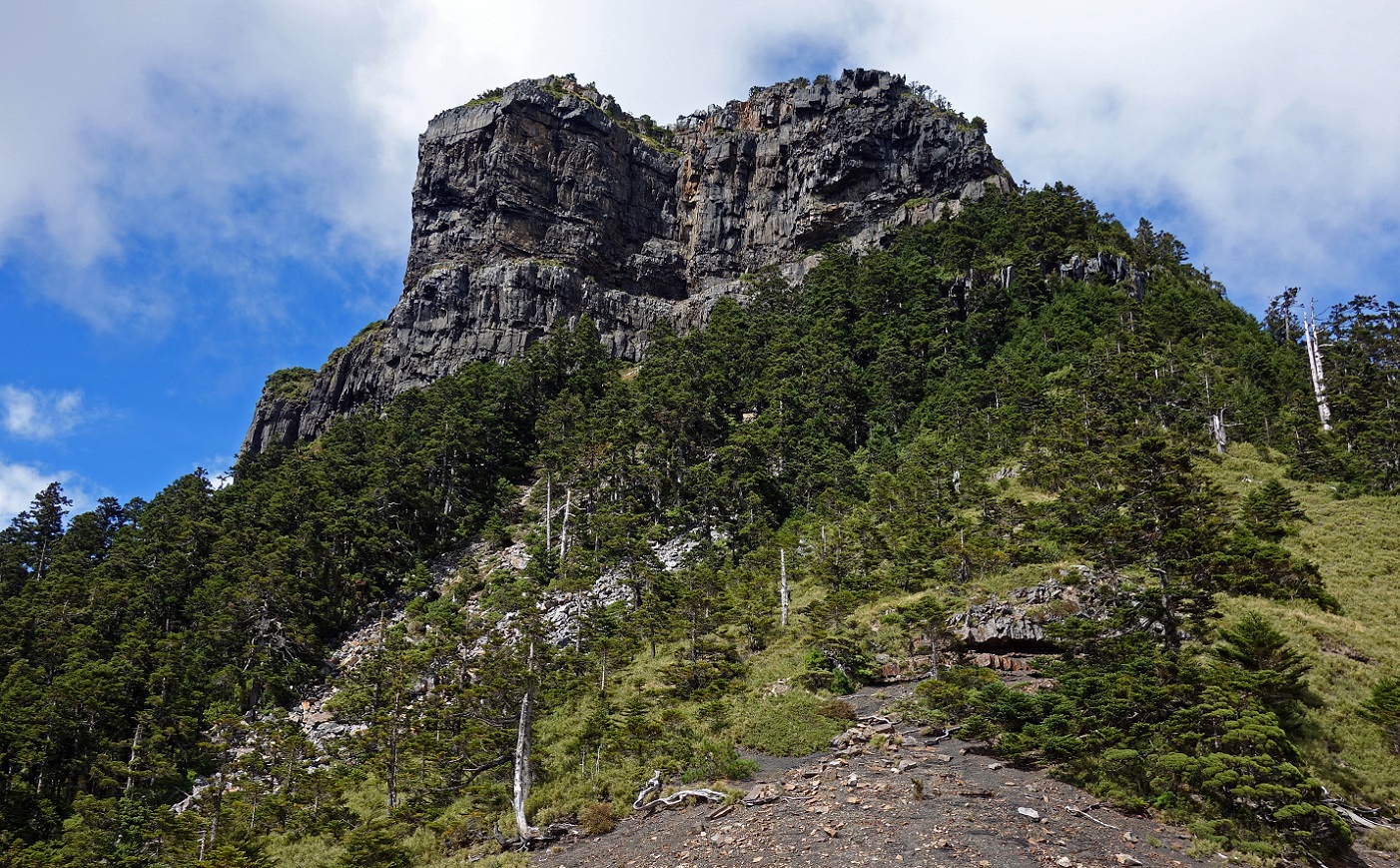
First
encounter with terrain covered by thickly packed mini-bamboos (one to three
feet high), which often conceal the narrow, underlying trail. The white dot in
the middle of the opposite slope is Sanliujiu hut. Xue Shan (3880m) is hidden
by the thick clouds.
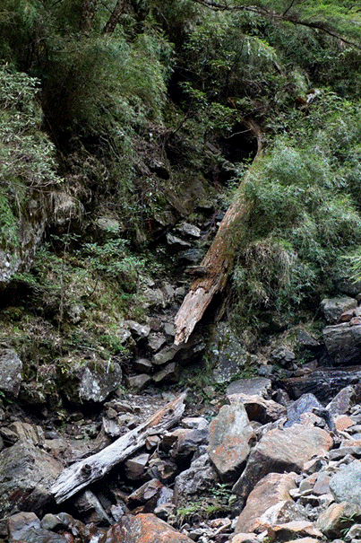
These two photos illustrate the ruggedness
of the mountains in Shei-Pa NP.
|
|
|
Further up: again
dense small bamboos on the ground and Tao Shan and mountains of Taroko NP visible in the background.
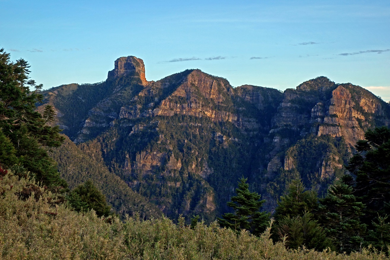
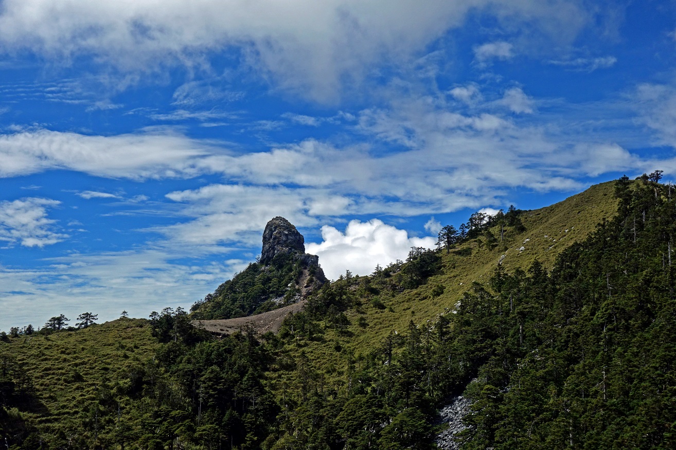
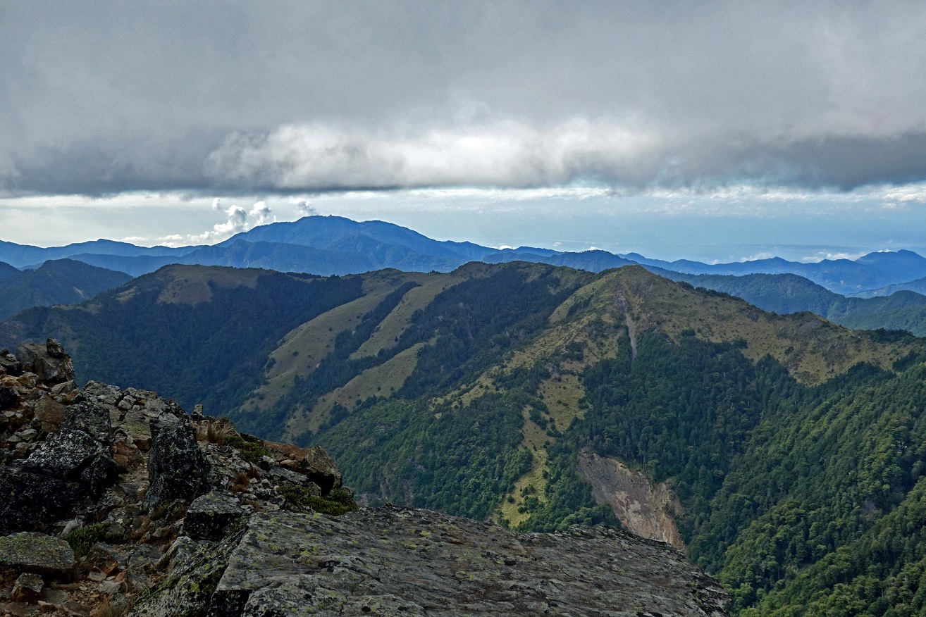
First views
of Xiaobajian (left, 3418m) and Dabajian peaks
(center, 3492m) in the background, from the ridge near Chiyou Shan (3303m).
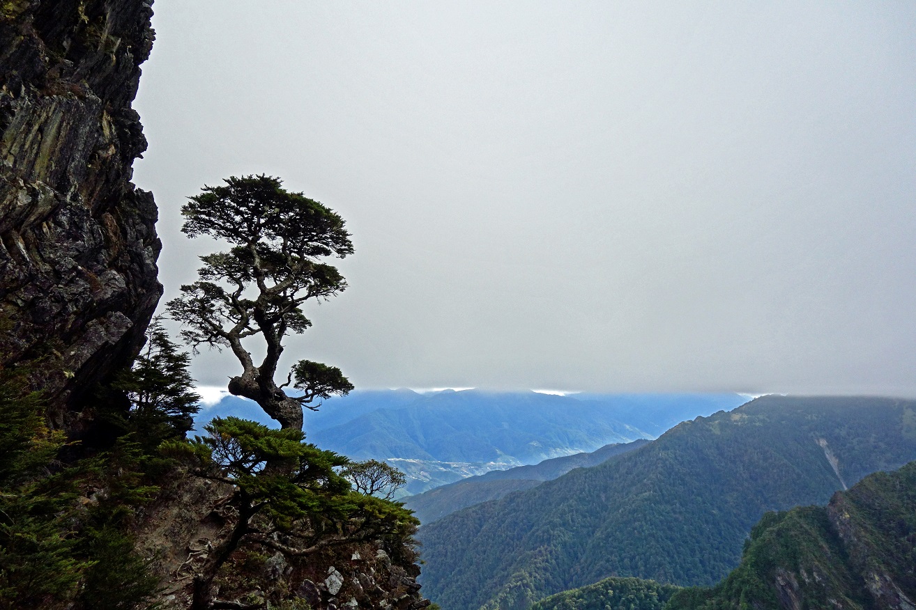
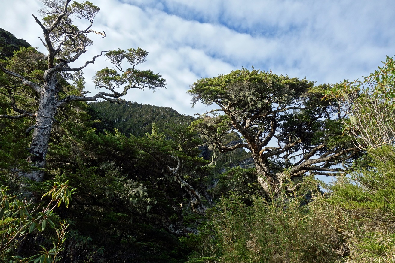
The Chinese
hemlock tree, a beautifully shaped conifer, grows above 3000m.
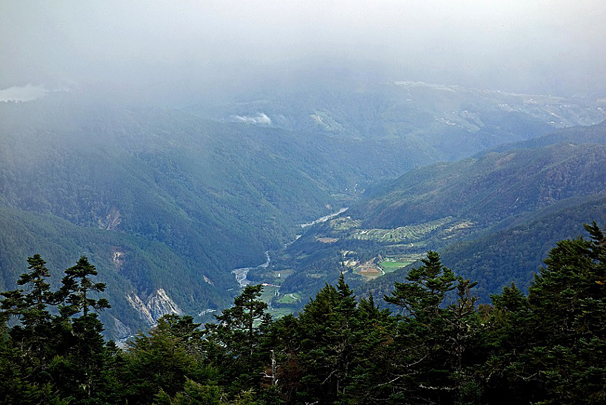
Successive
views of Wuling valley, now far below us. The photo
on the right was taken from the Sixiu trail between
Tao Shan and Xinda hut. The photo on the left was
taken earlier before reaching the ridge.
|
|
|
More Chinese hemlock trees.
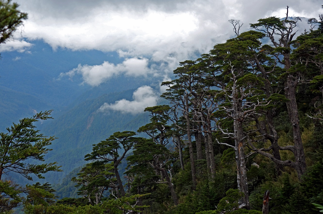
Solitary Chinese hemlock tree on the
trail.
Mini-bamboos in the forefront and
Chinese hemlock trees behind.
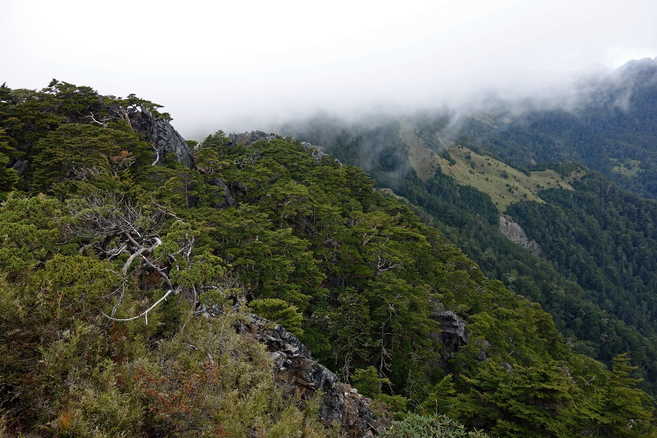
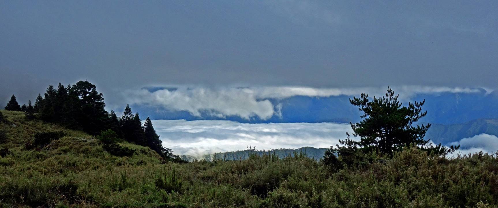
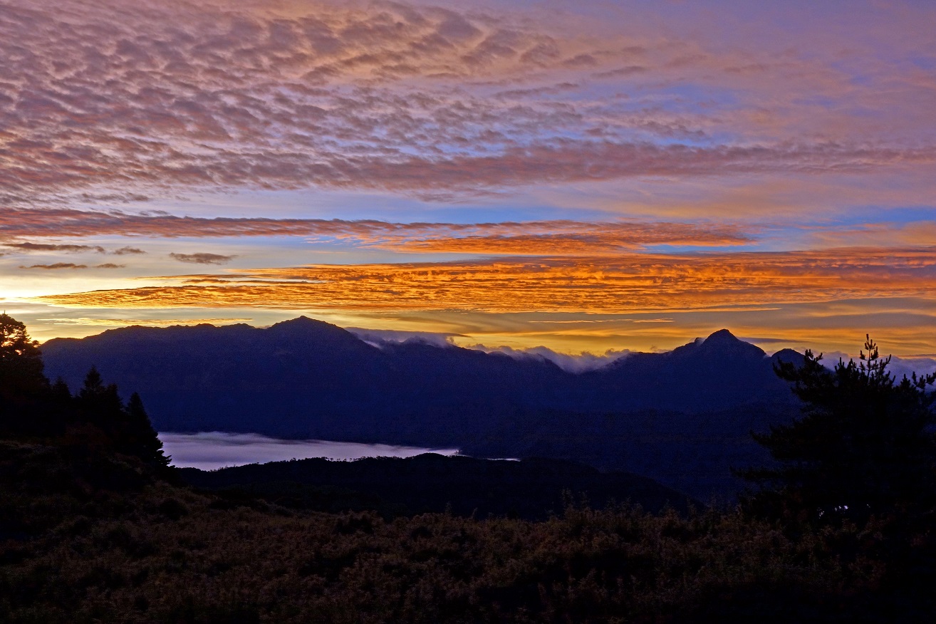
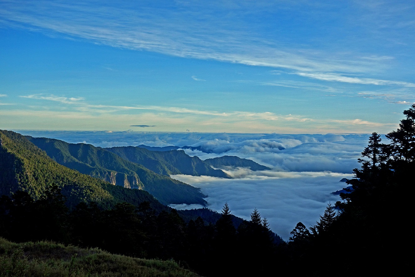
View from the Xinda hut. Wuling valley
lies below the thick layer of white clouds.
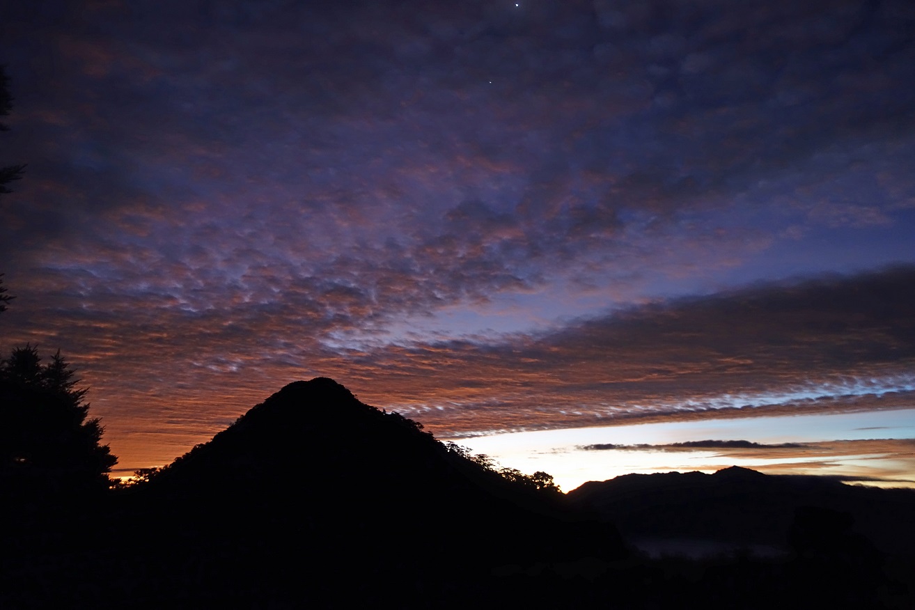
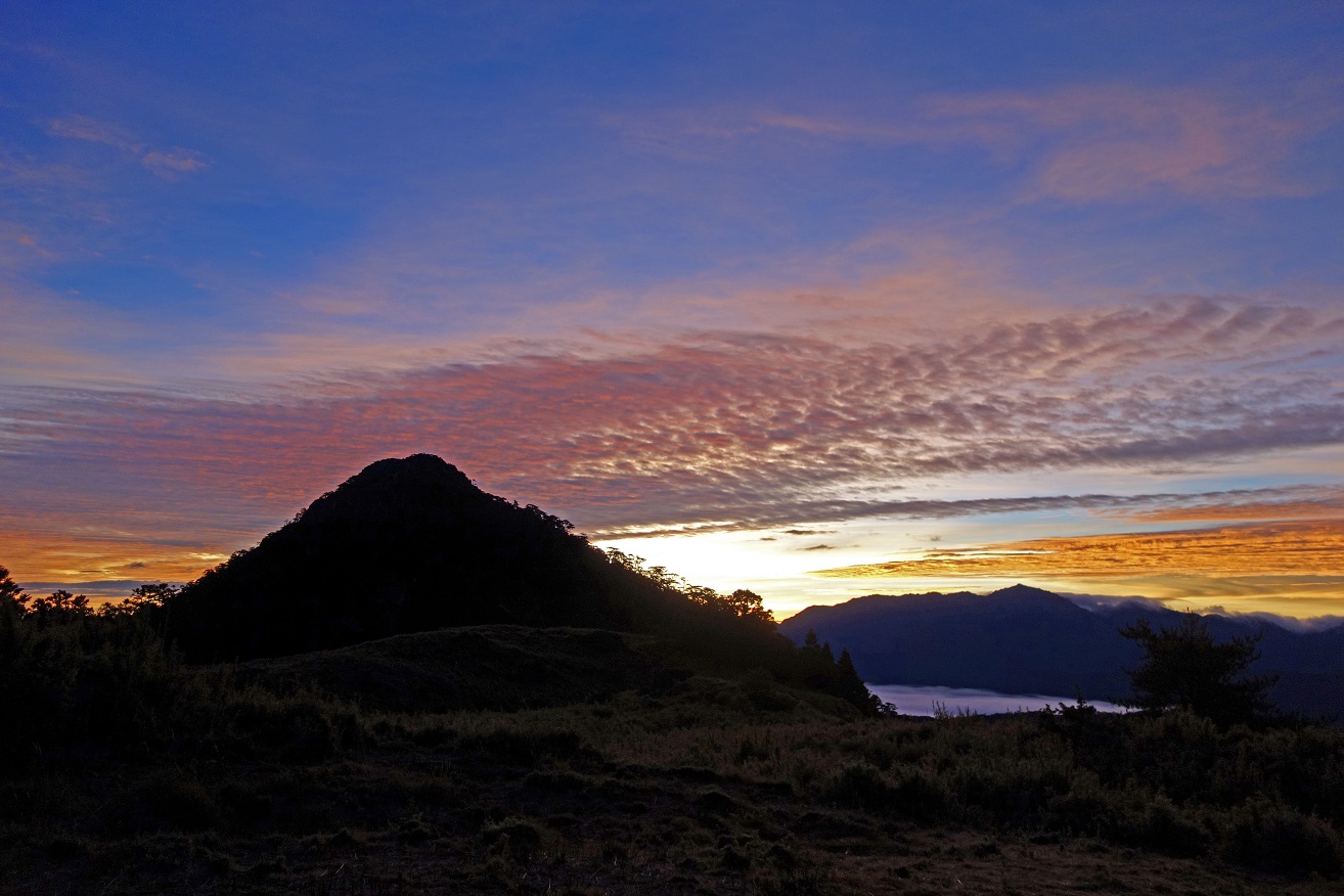
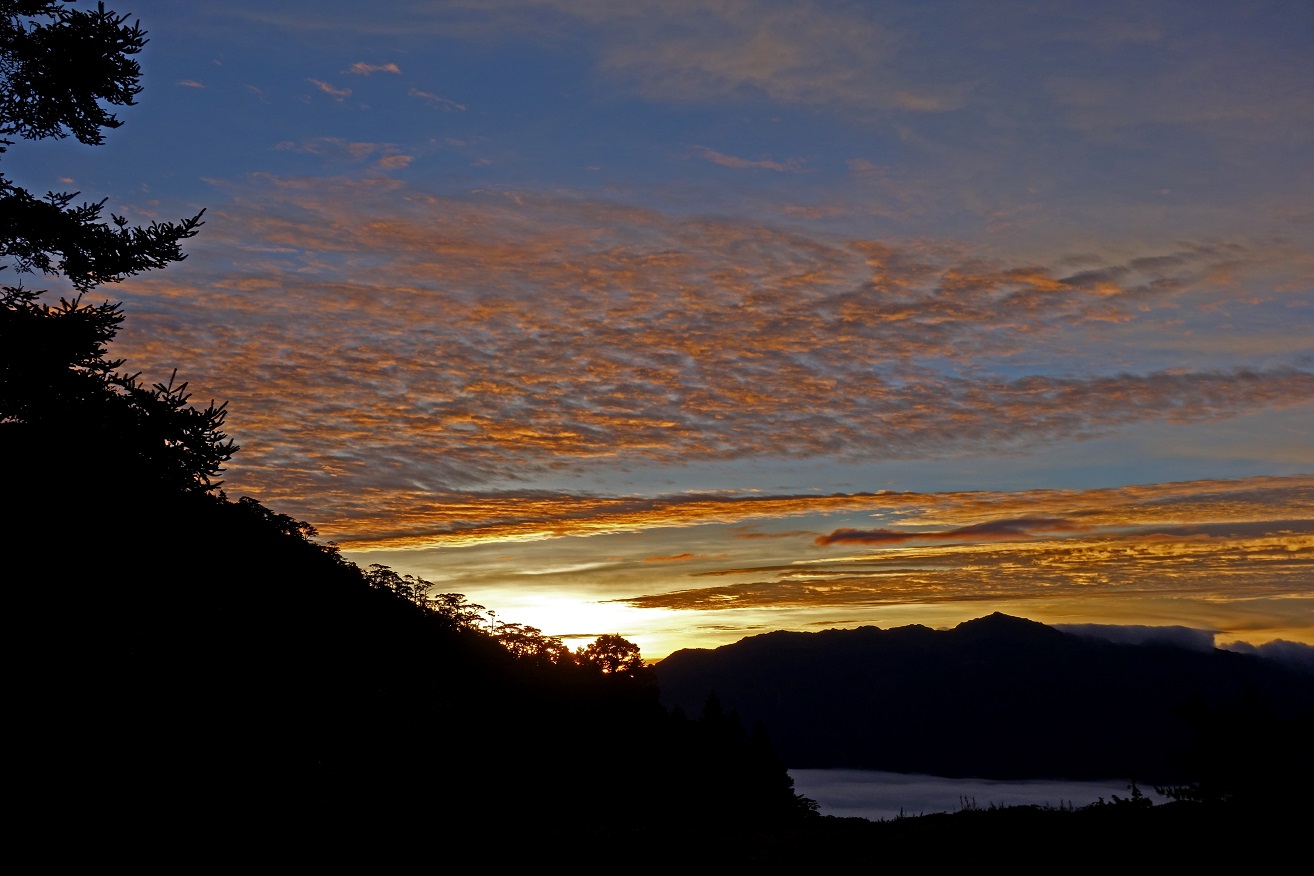
Spectacular sunrise seen from Xinda hut
on the morning of the second day. I was told that this type of clouds are
typical when a typhoon is approaching.
Day 2: Xinda hut to Banan hut, plus roundtrip to Xiaobajian Shan
During the second day of trek we first hiked from Xinda hut to Banan hut.
We then did a roundtrip to Xiaobajian Shan. To reach Banan hut we followed a
faint trail from the ridge connecting Tao Shan and Pintian Shan (where Xinda
hut is located) to the perpendicular ridge between Buxiulan Shan and Dabajian
Shan (where Banan hut is located). The terrain along this trail was steep and
rough, with many ups and downs. The terrain from Banan hut to Xiaobajian Shan
was much easier, first along the ridge leading to Dabajian Shan, then along a
short side-ridge to Xiaobajian Shan.
Two views of Dabajian Shan just before
starting the initial descent near Xinda hut.
View toward the north-east (in the
direction of the town of Ilan).
During the initial descent.
Warning sign at the beginning of the
descent and photos along the trail further down.
|
|
|
|
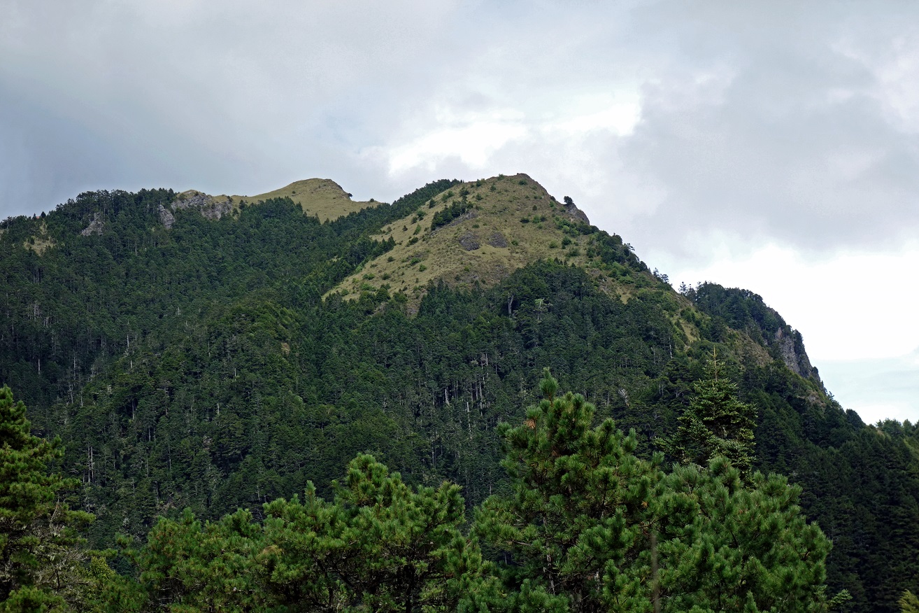
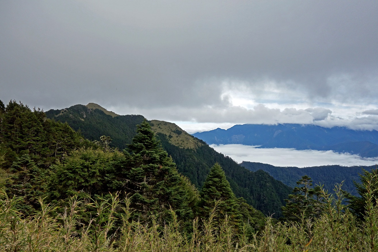
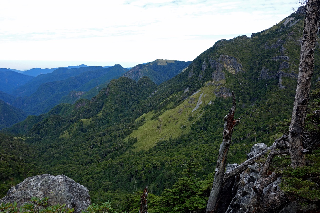
View of Pintian Shan (center, 3524m)
from its northern side.

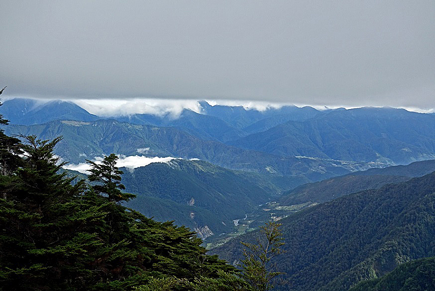
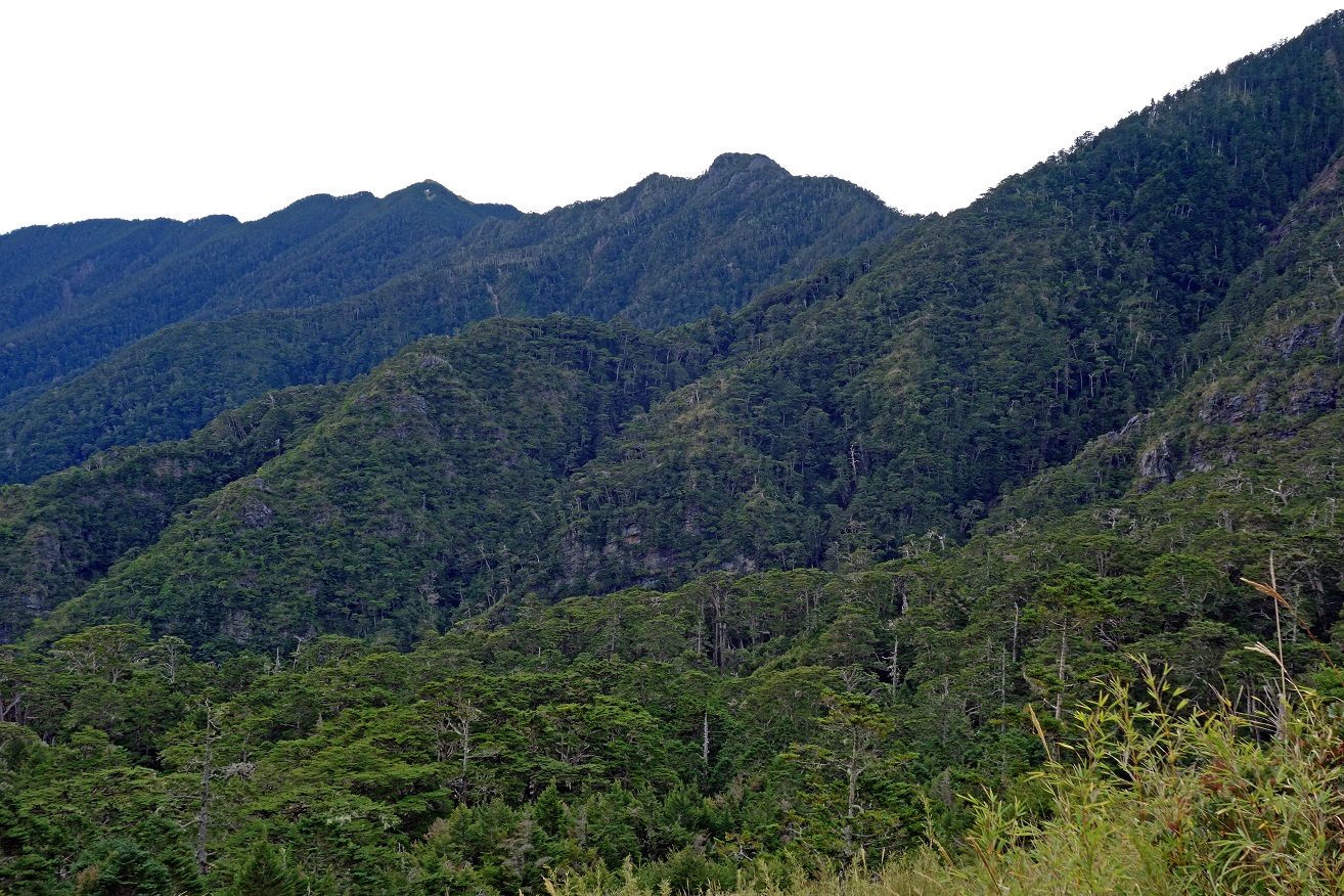
View over the
terrain traversed after a few hours of hiking. The summit at the center of the
photo is Chiyou Shan. The one on its left is Tao Shan (the white dot near the
top is Taoshan hut). The Xinda hut is located near the saddle on the right of
Chiyou Shan, on the other (south) side of the ridge. The trail from the Xinda
hut to Banan hut begins with a steep descent below the saddle and then
traverses the rugged terrain visible in this photo. Distances are not big, but
on some parts of the trail it took us more than one hour to hike a single
kilometer.
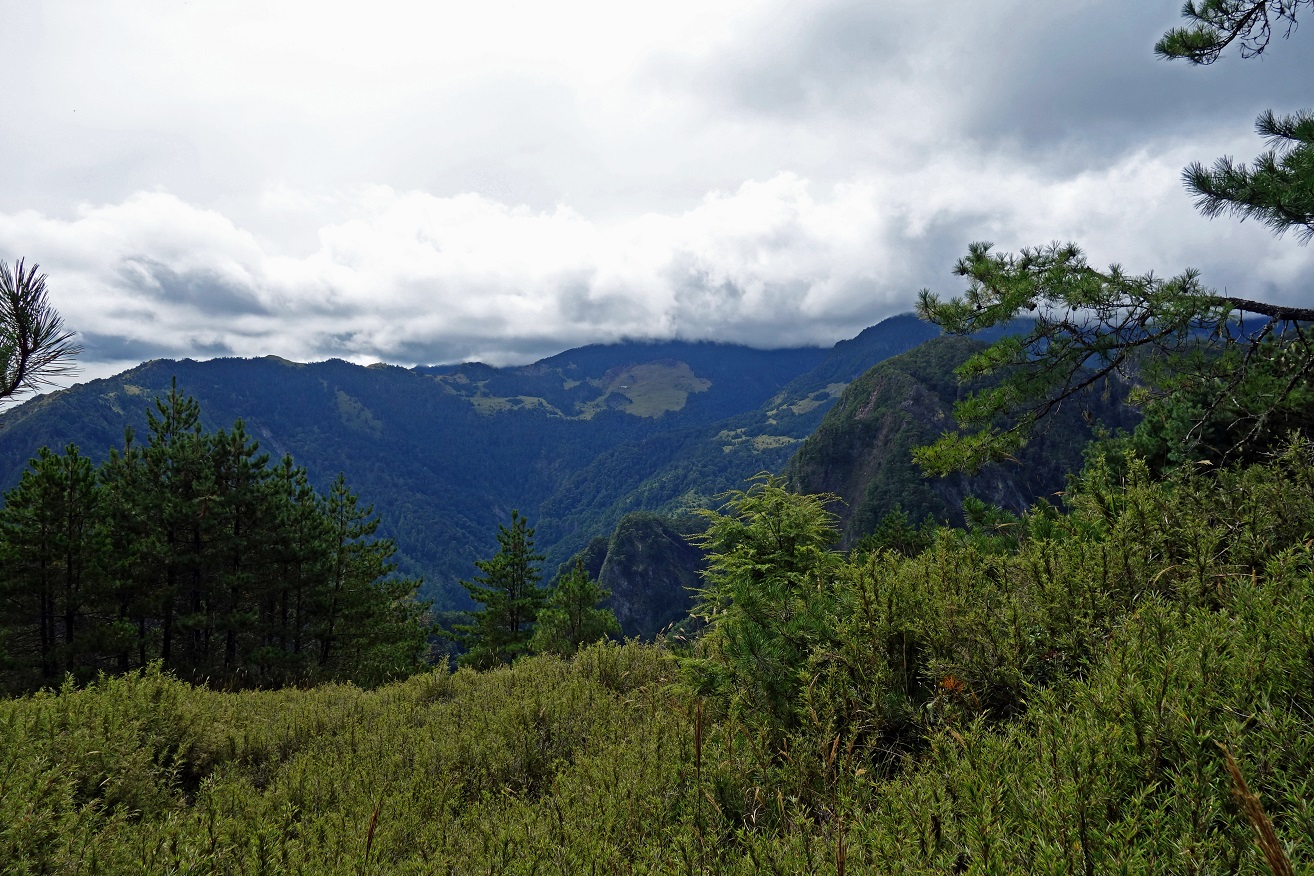
We eventually
reached the ridge between Buxiulan Shan and Dabajian Shan, which leads to Banan
hut.
View toward
the west from this ridge.
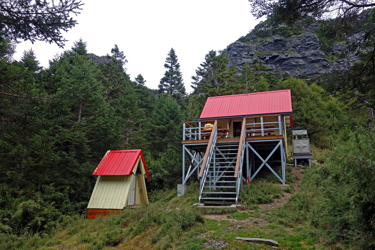
Banan hut. We were the only occupants of
the hut during the night. In fact, after leaving Xinda
hut we did not encounter anyone during the rest of the trek.
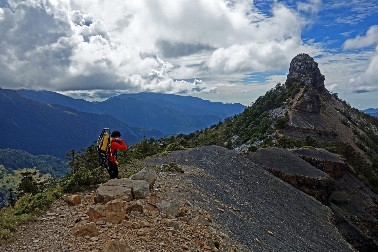
In the afternoon, we hiked to Xiaobajian
Shan. We first headed toward Dabajian Shan.
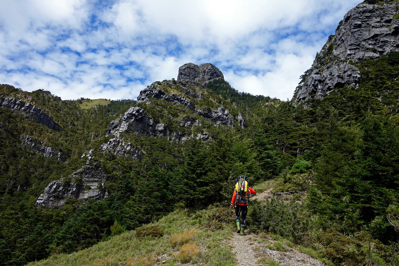

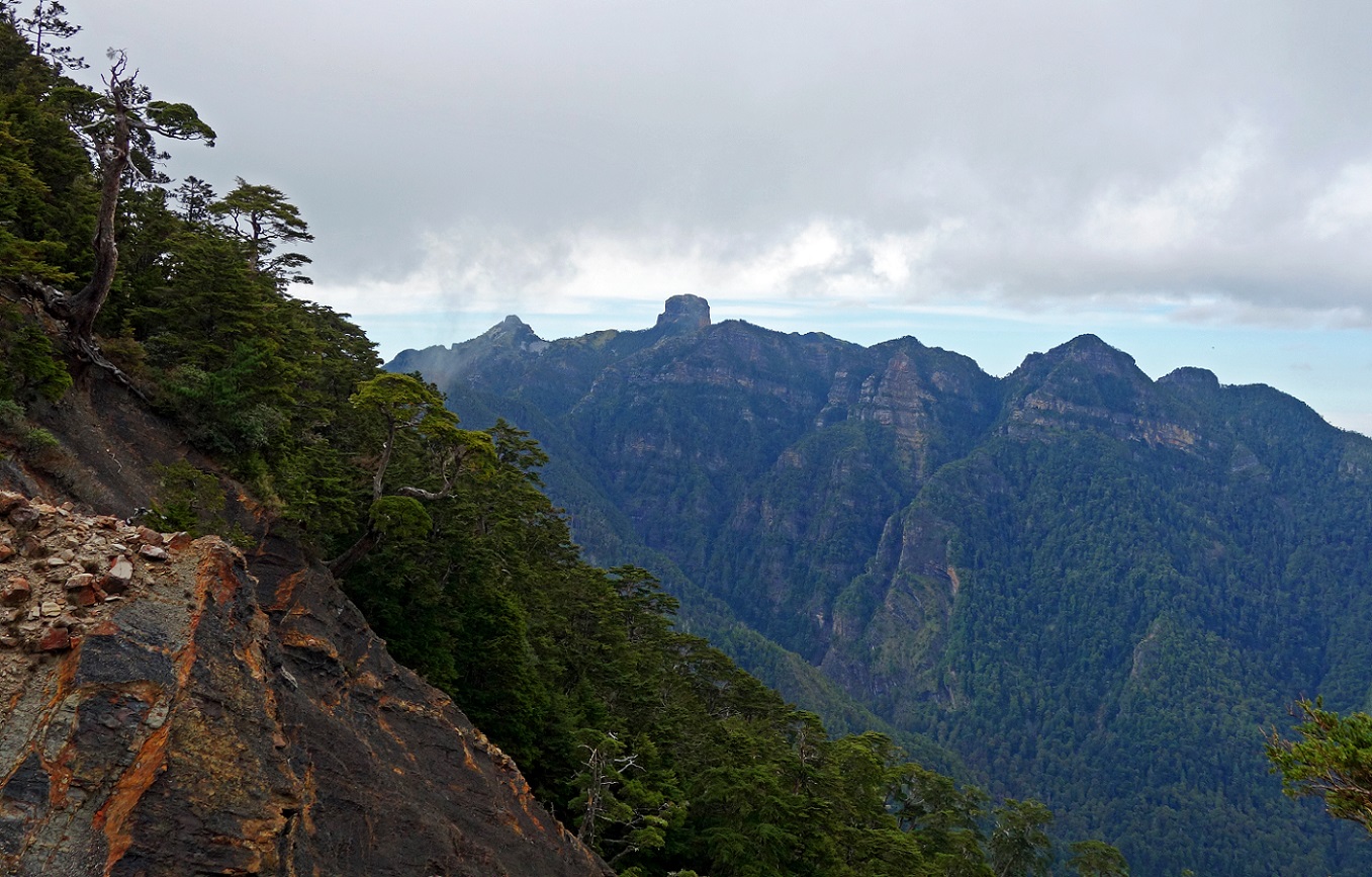
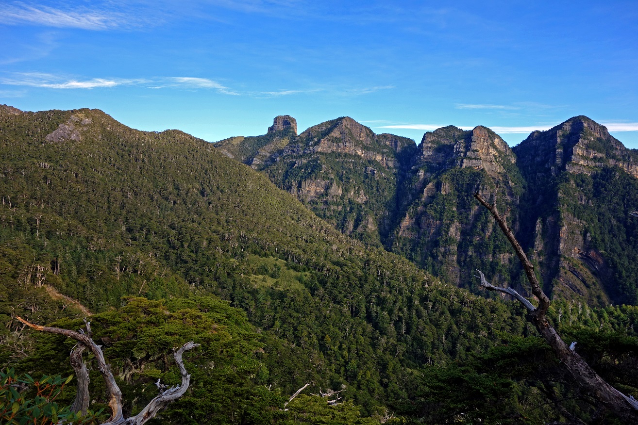
Xiaobajian Shan
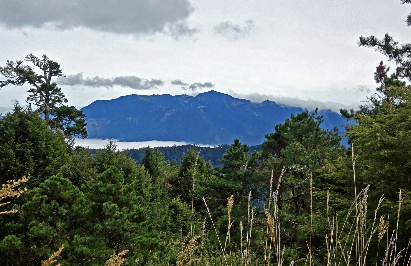
seen while heading toward Dabajian Shan.
Looking
toward the south. I believe that the peak in the middle of the photo is
Buxiulan Shan (3438m) and the one on its right further behind is Xue Shan Northern Peak (雪山北峰, 3703m)
located some 3.5km north of the main peak Xue Shan
(3886m).
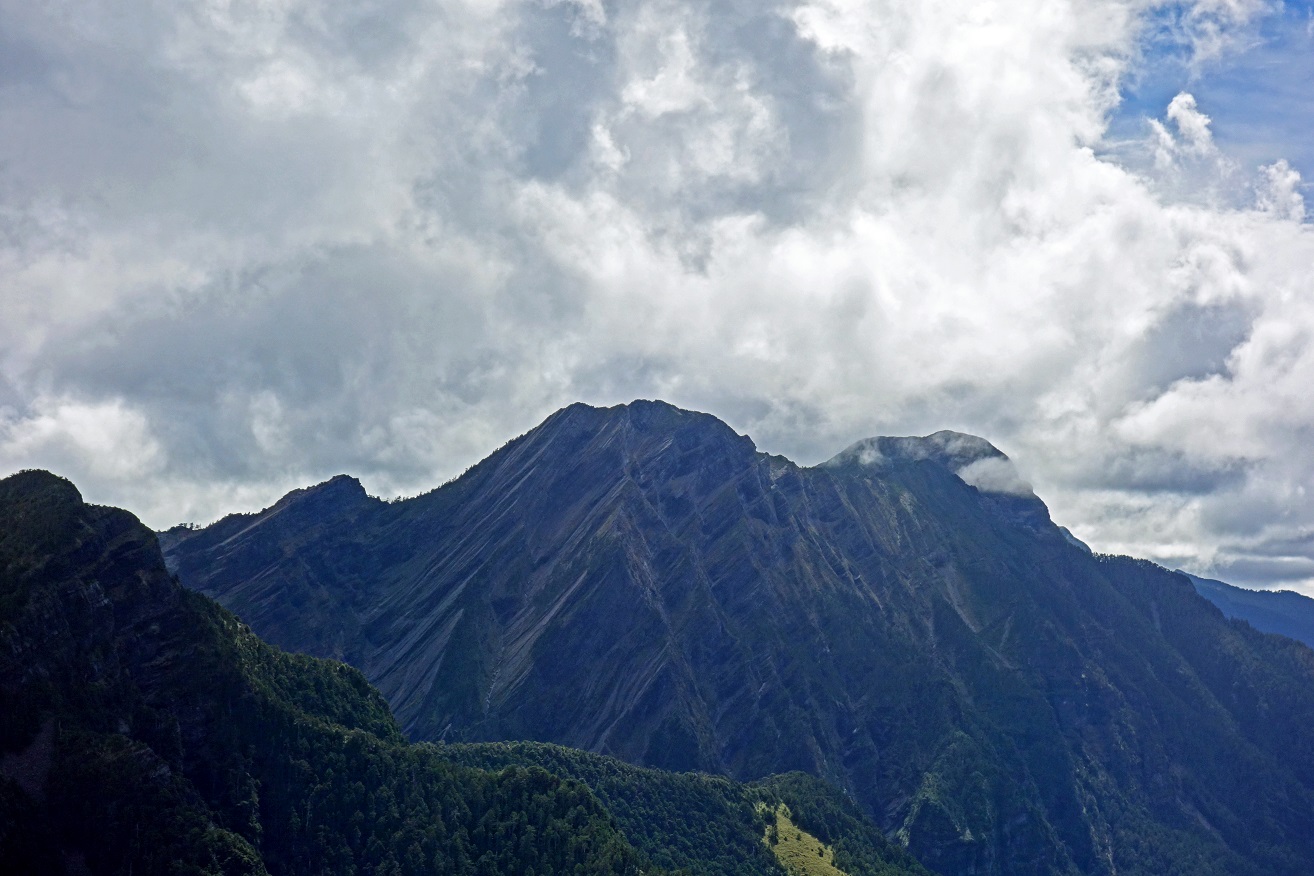
At the base
of Dabajian Shan. Climbing Dabajian Shan is not allowed both for environmental
reasons and to ″maintain the integrity of the holy mountain that
indigenous people worship″.
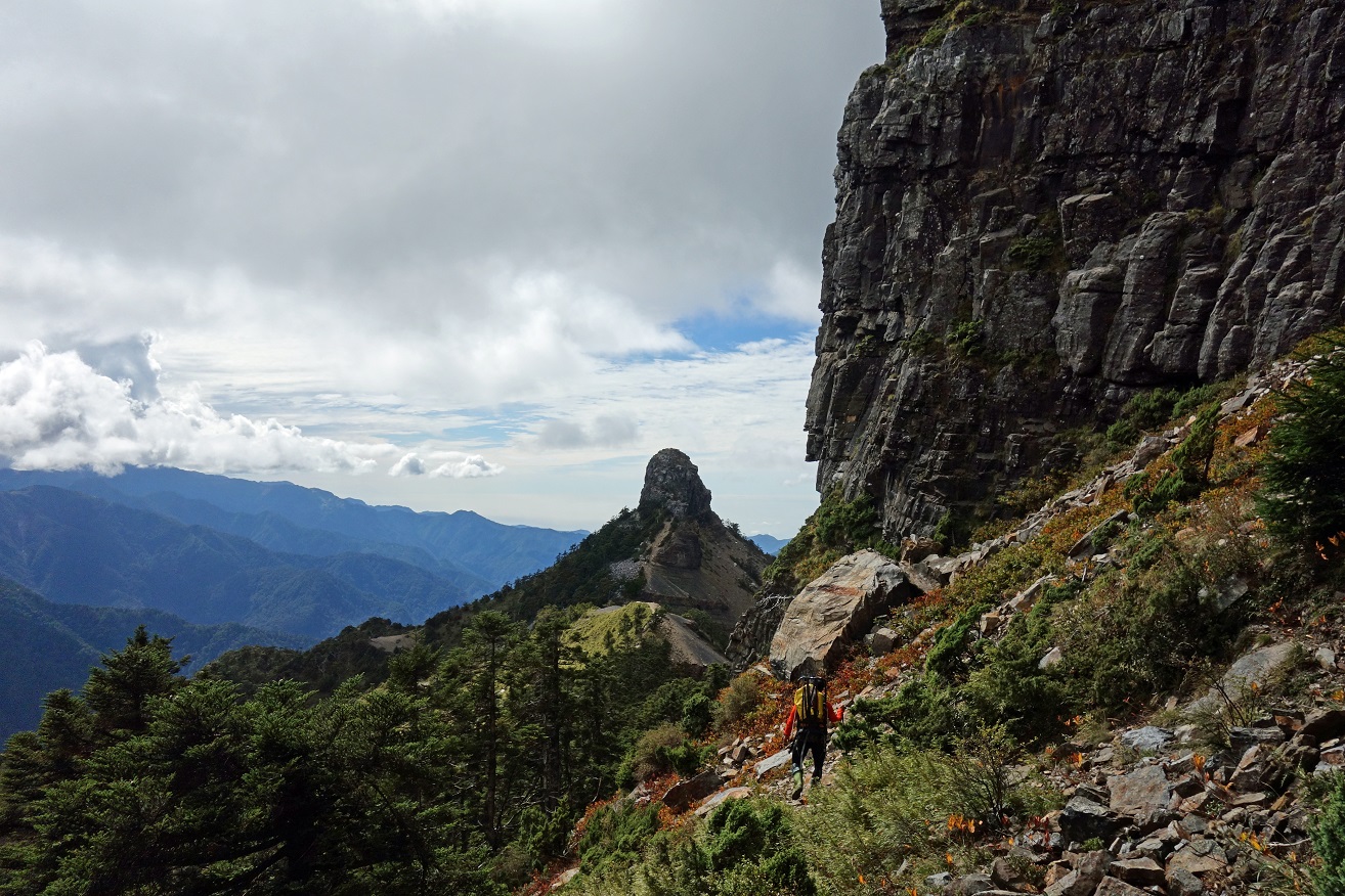
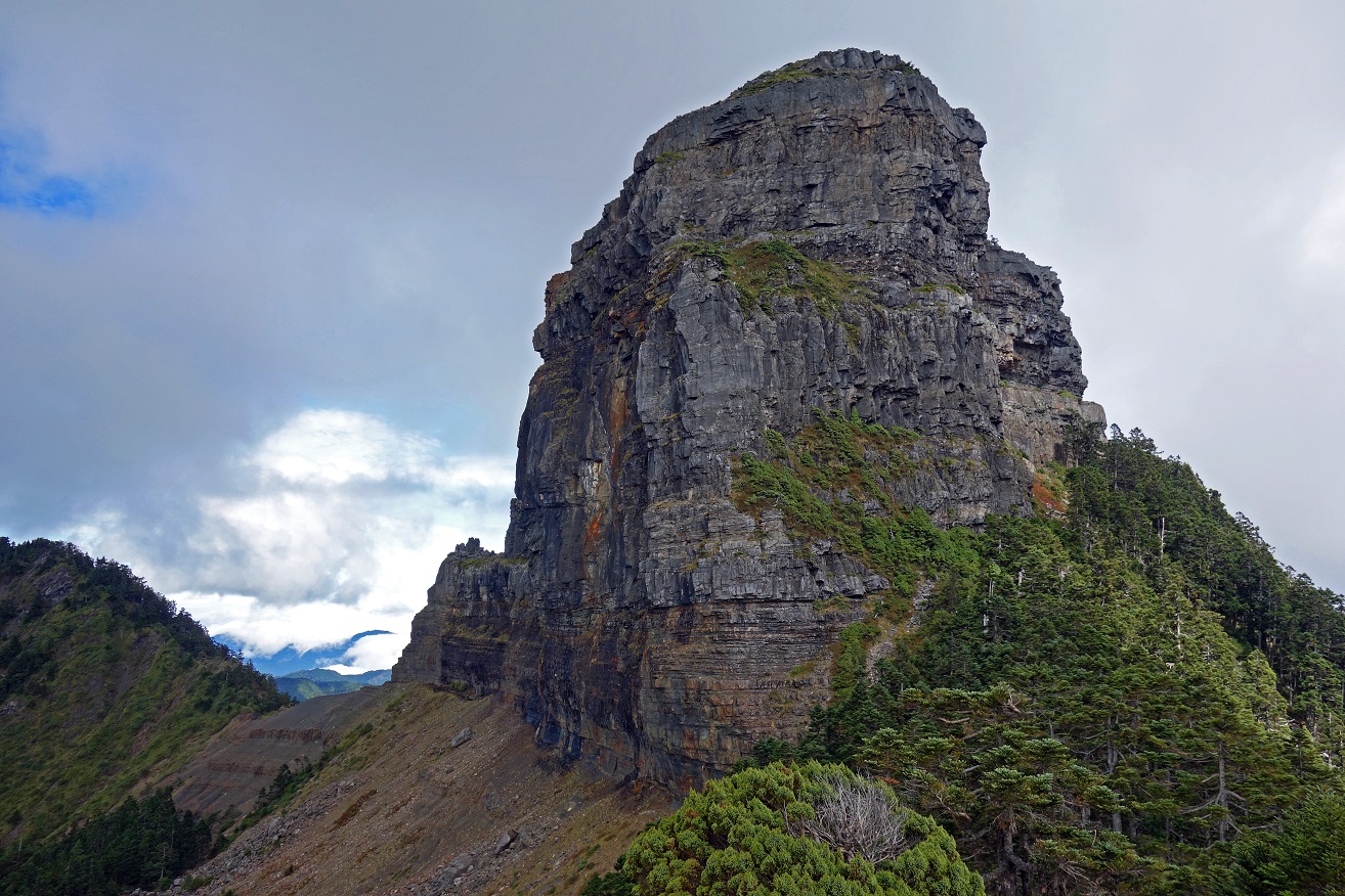
On the short side-ridge leading to Xiaobajian
Shan, which requires some easy rock climbing at the end to reach the top.
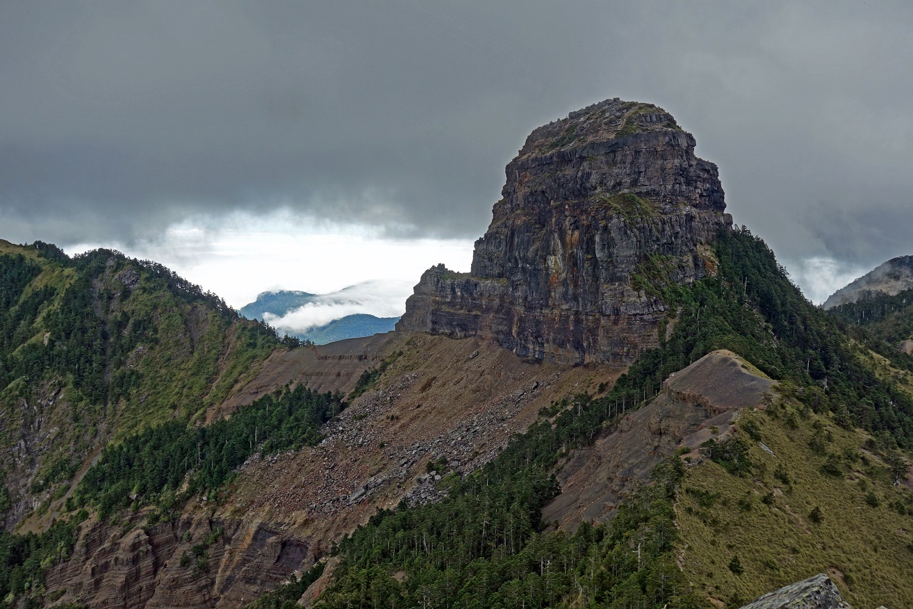
Views of Dabajian Shan from the
side-ridge and from the top of Xiaobajian Shan. The name ″Dabajian Shan″
means ″Dominating Sharp Mountain″.
Me at the top of Xiaobajian Shan
(3418m).
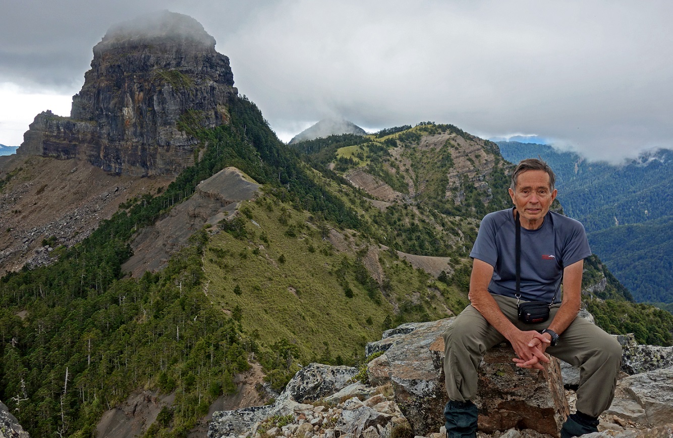
View from the summit toward the west.
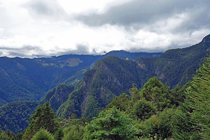
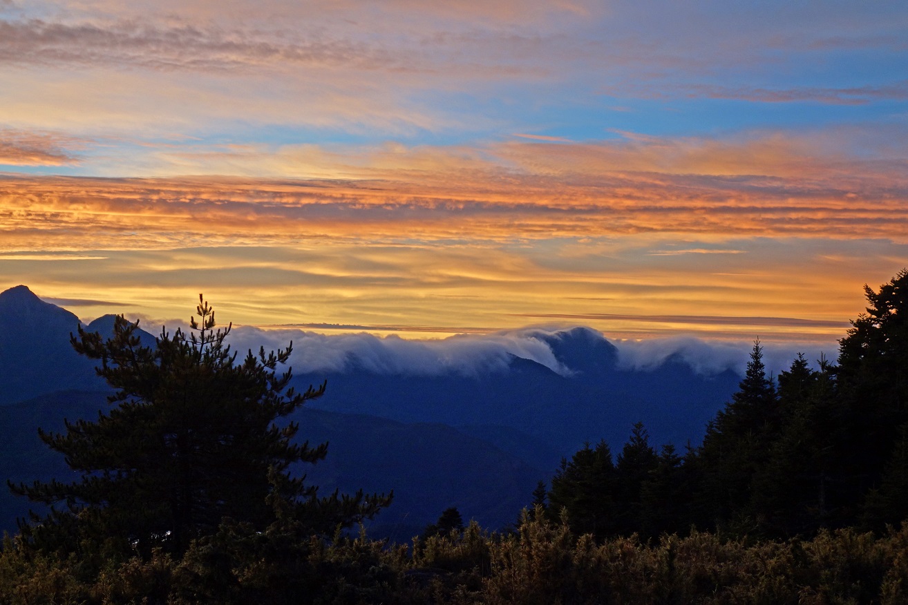
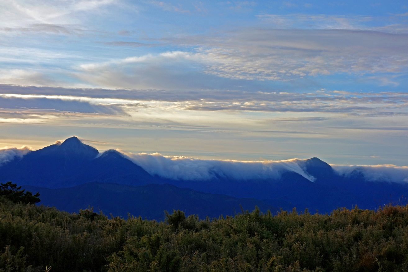
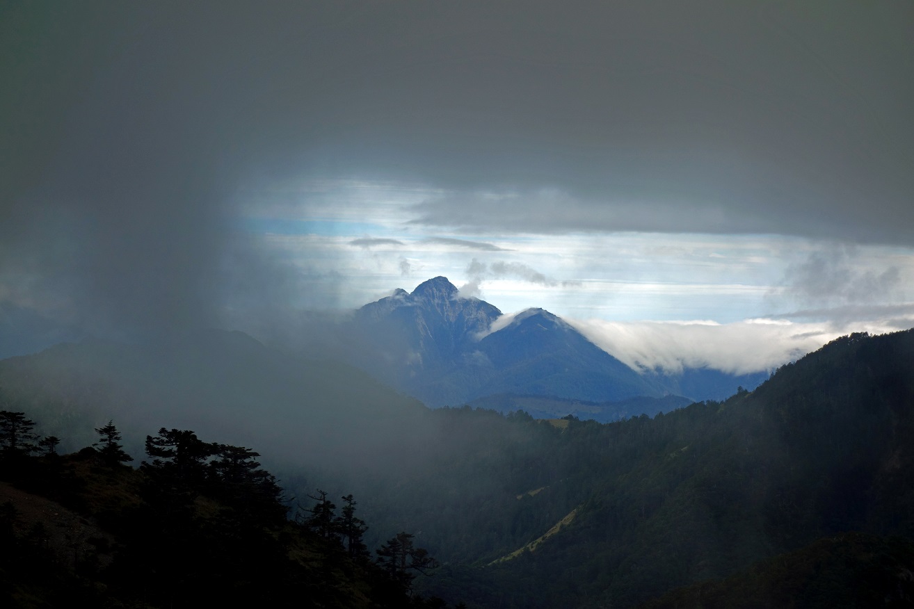
During our
walk back to Banan hut, dark clouds accumulated above and around us. This was
one of our last views through clouds, with Nanhu Shan in Taroko NP in the
background.
Days 3 and 4: Banan hut to Wuling Valley
During the next two days
we retraced our path back from Banan hut to Wuling valley. It was raining most
of the time and there was null visibility. I kept my camera safely stored in my
backpack.
![]()
Return to main Taiwan 2015 webpage