Hikes in
Acadia National Park, Great Wass Island,
and Baxter
State Park (Maine) - June 2017
& June 2021
![]()
Return
to main United States page | Return to my mountaineering/trekking/travel webpage
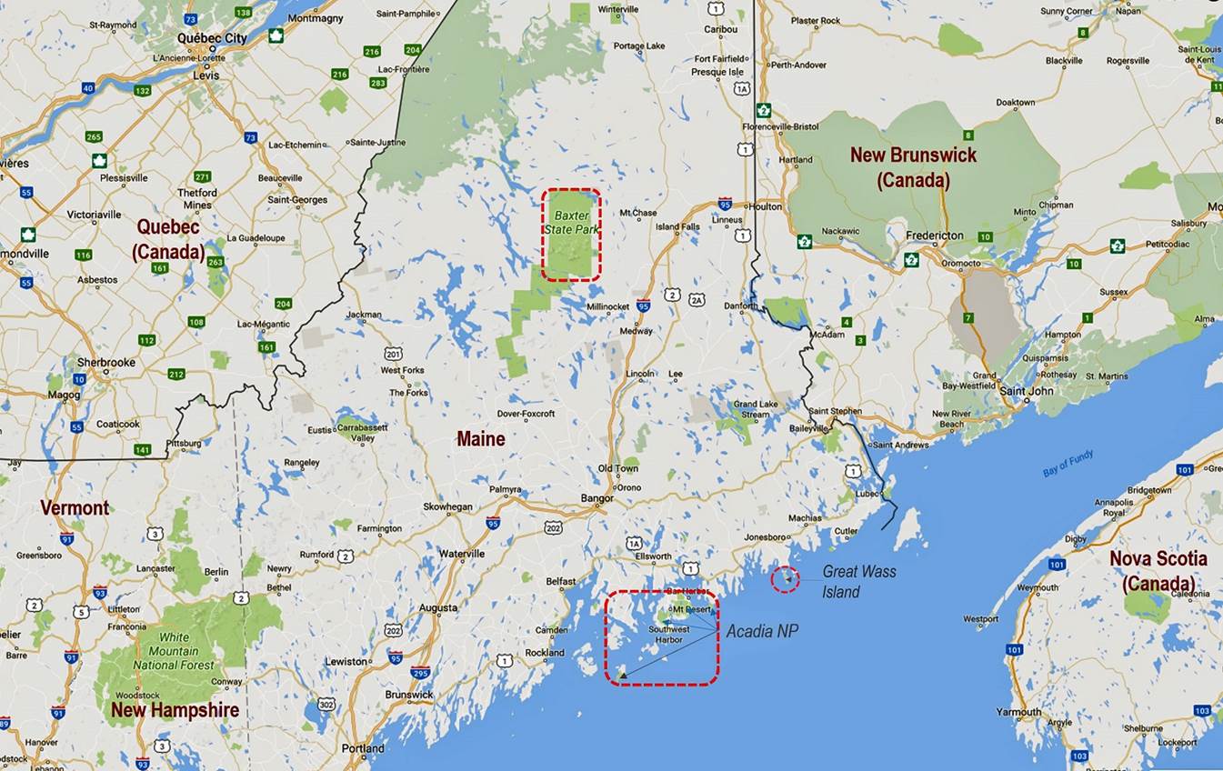
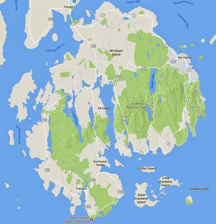
Acadia National Park (June 2017 and June 2021).
|
|
|
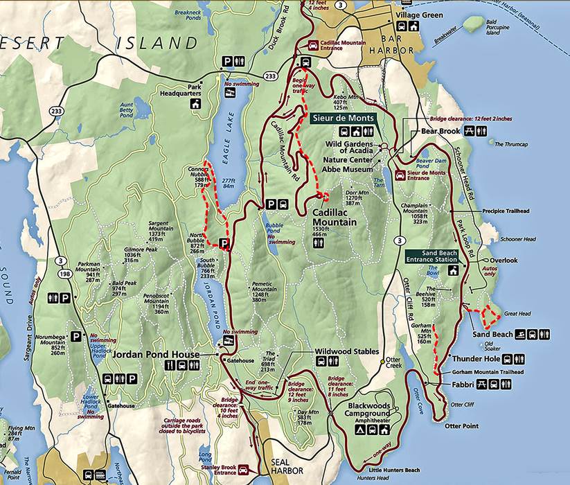
[The hikes are indicated in dotted red
lines in the two maps above: 2017 on the left, 2021 on the right.]
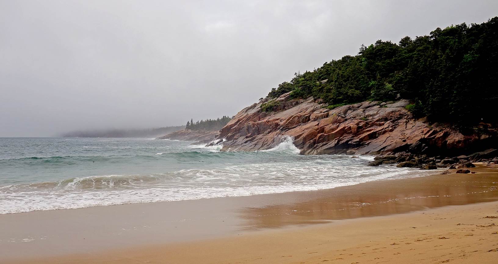
Sand Beach
(June 2017):
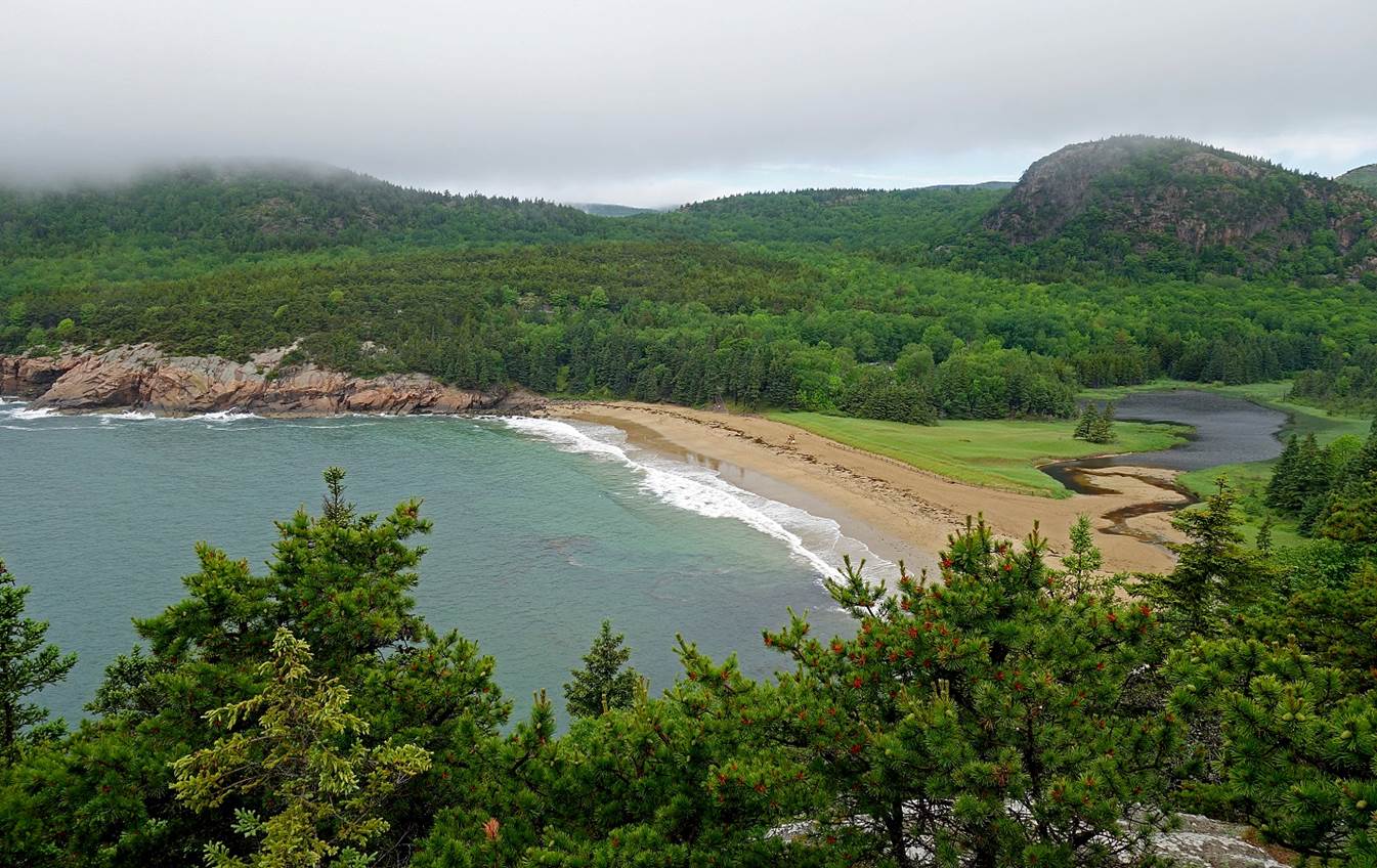
Great Head
Loop, starting/ending at Sand Beach (June 2017):
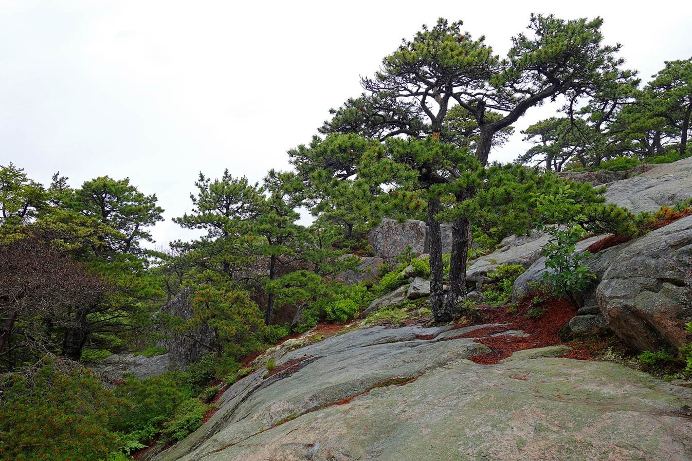
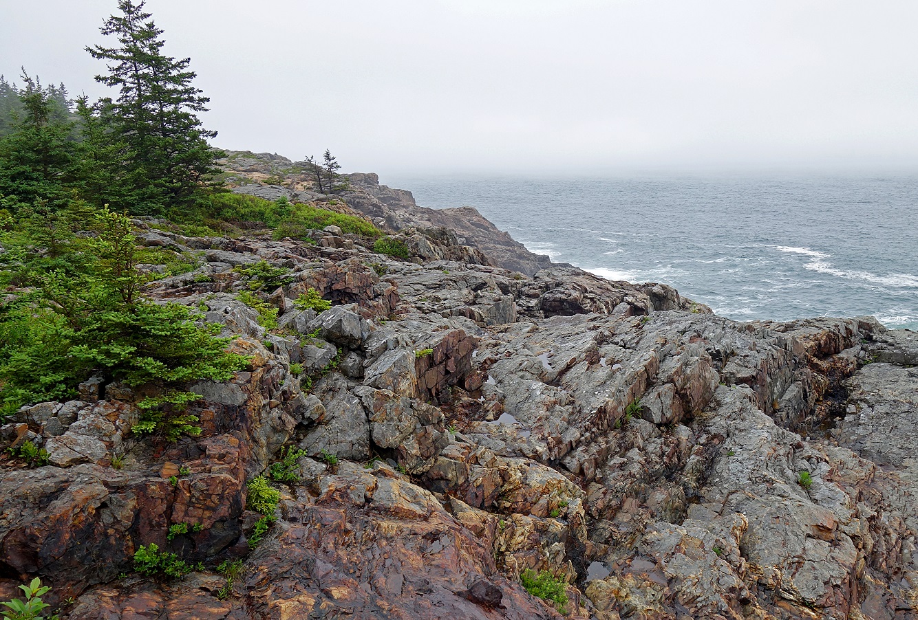
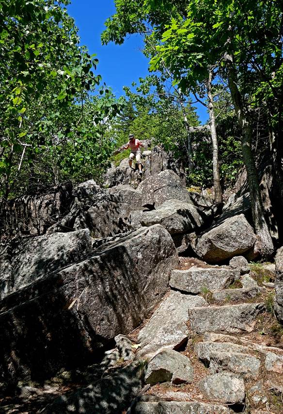
Gorham
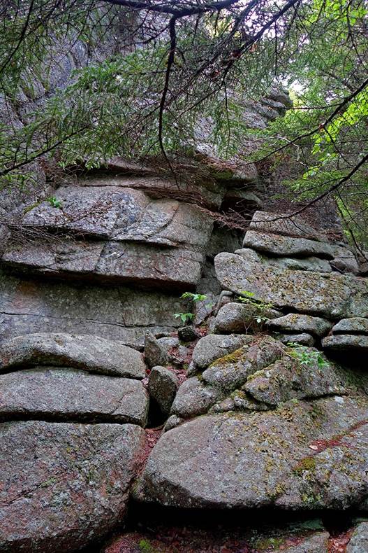
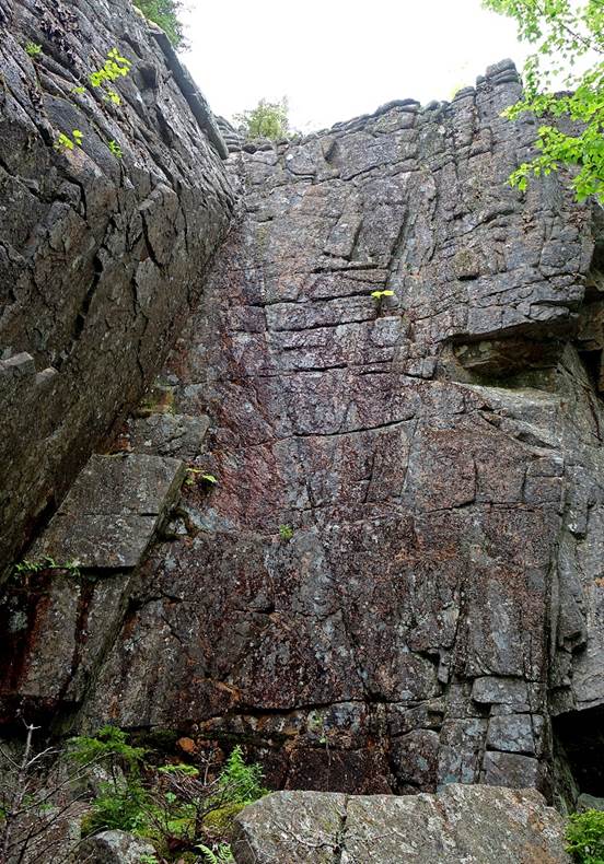
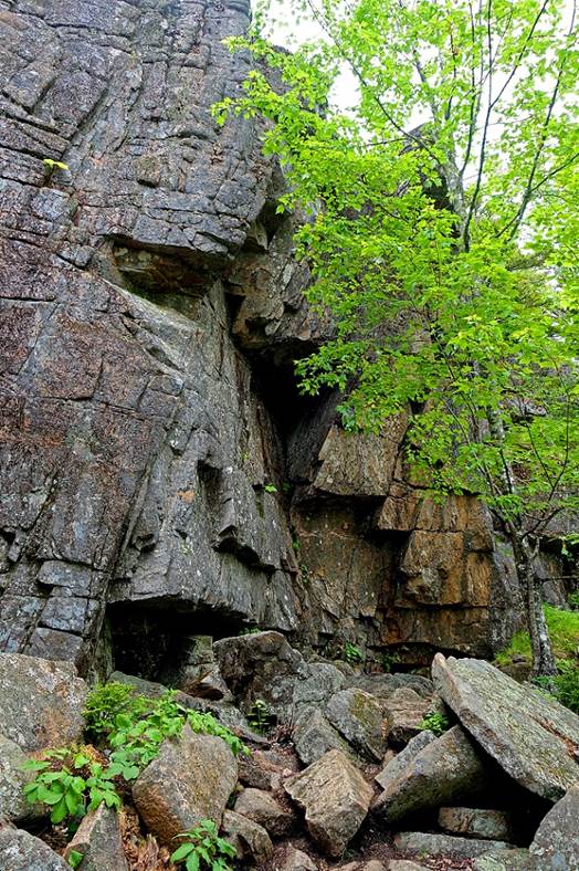
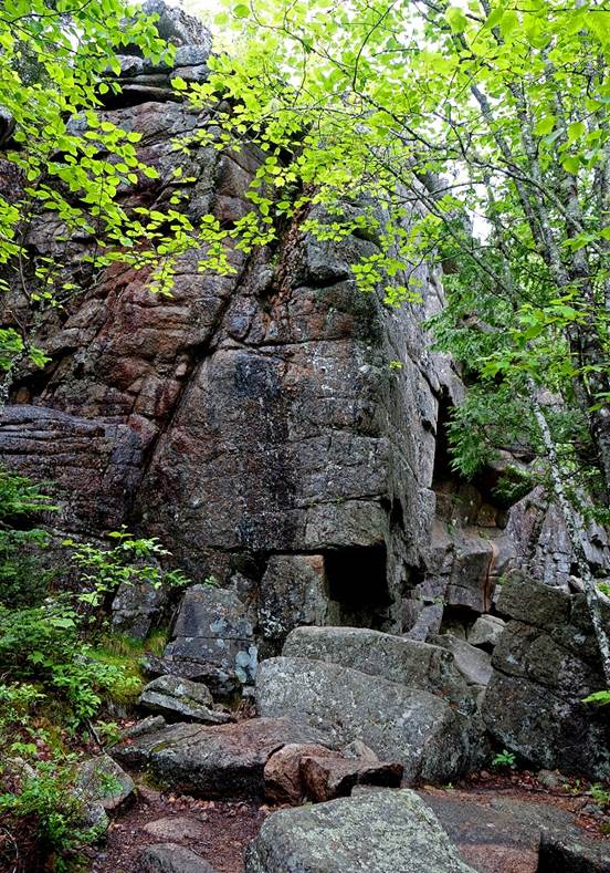
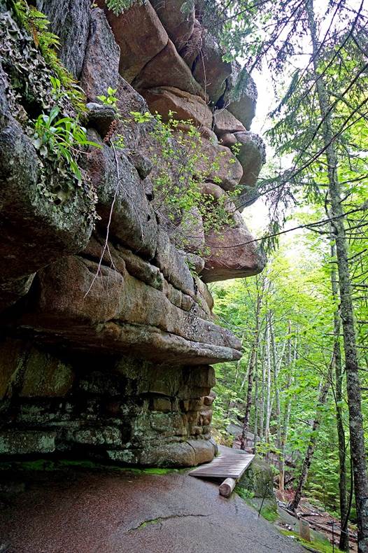
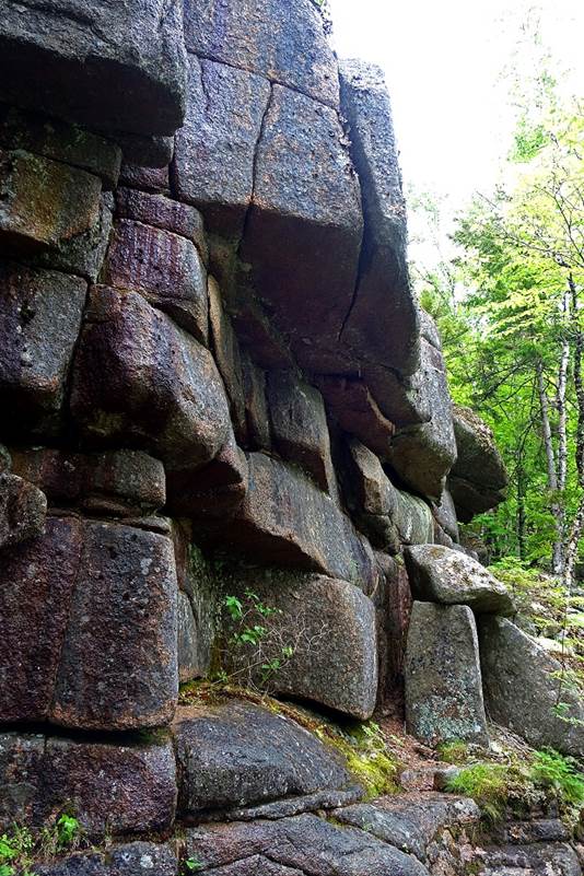
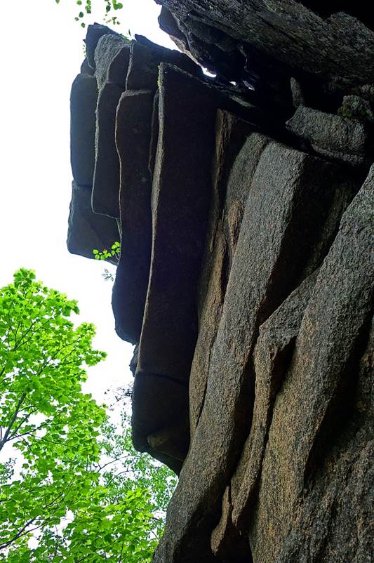
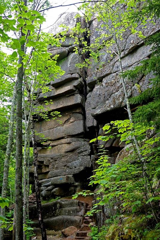
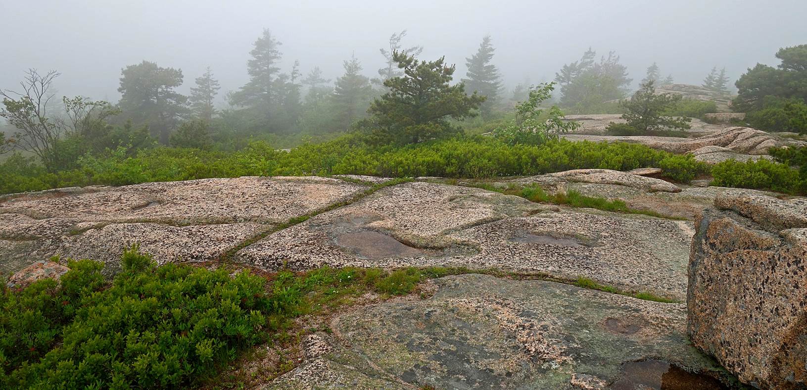
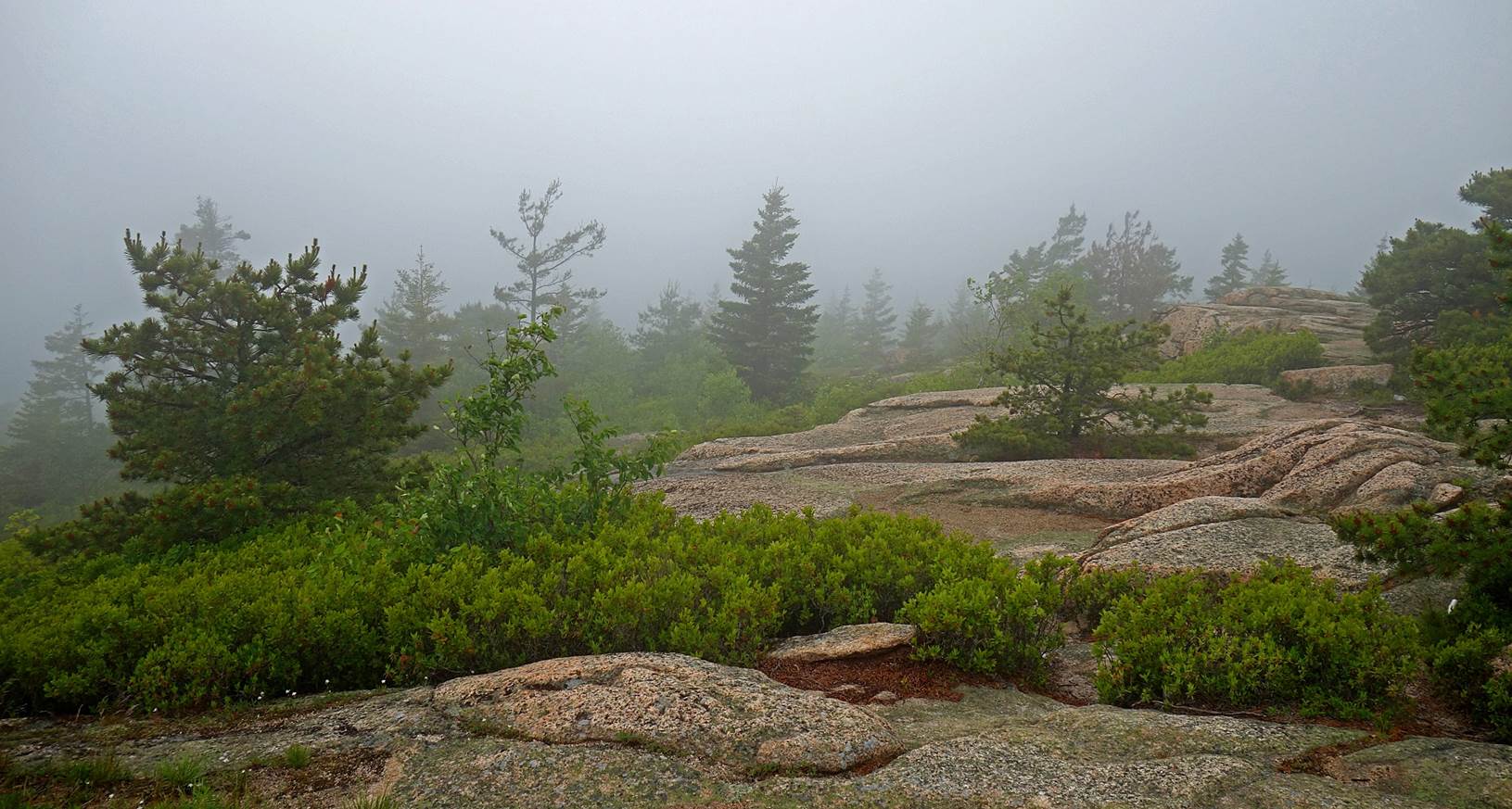
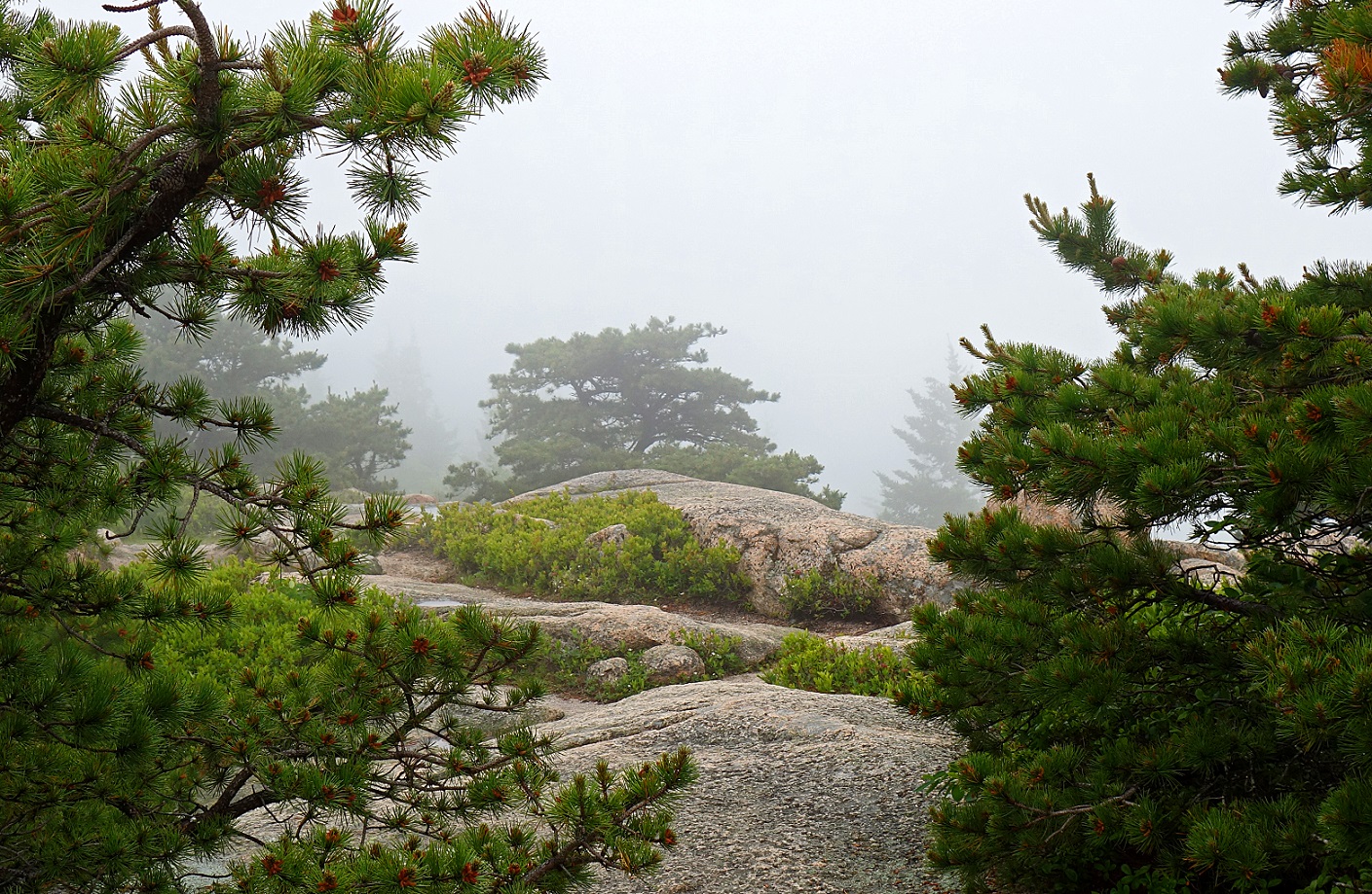
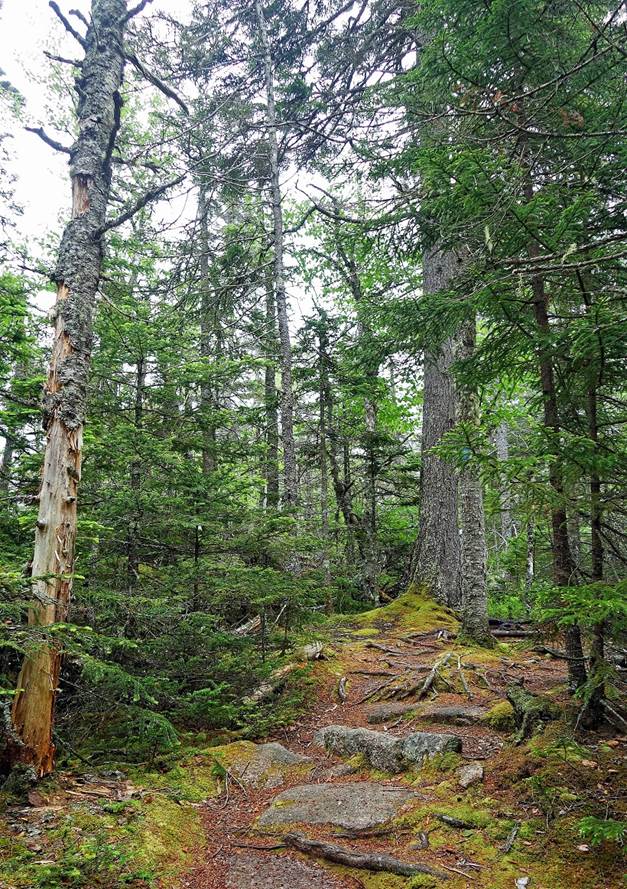
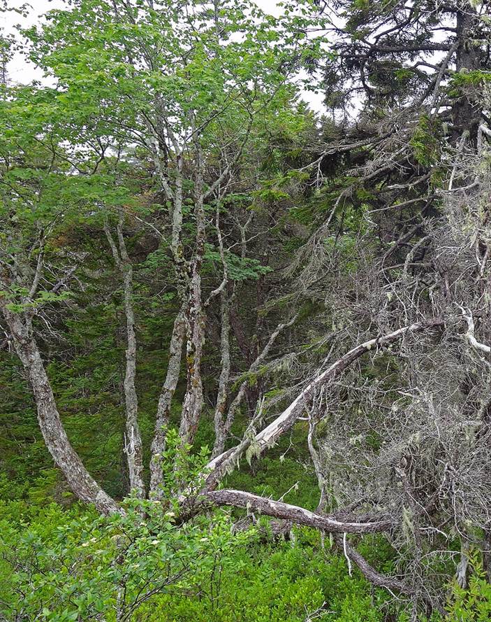
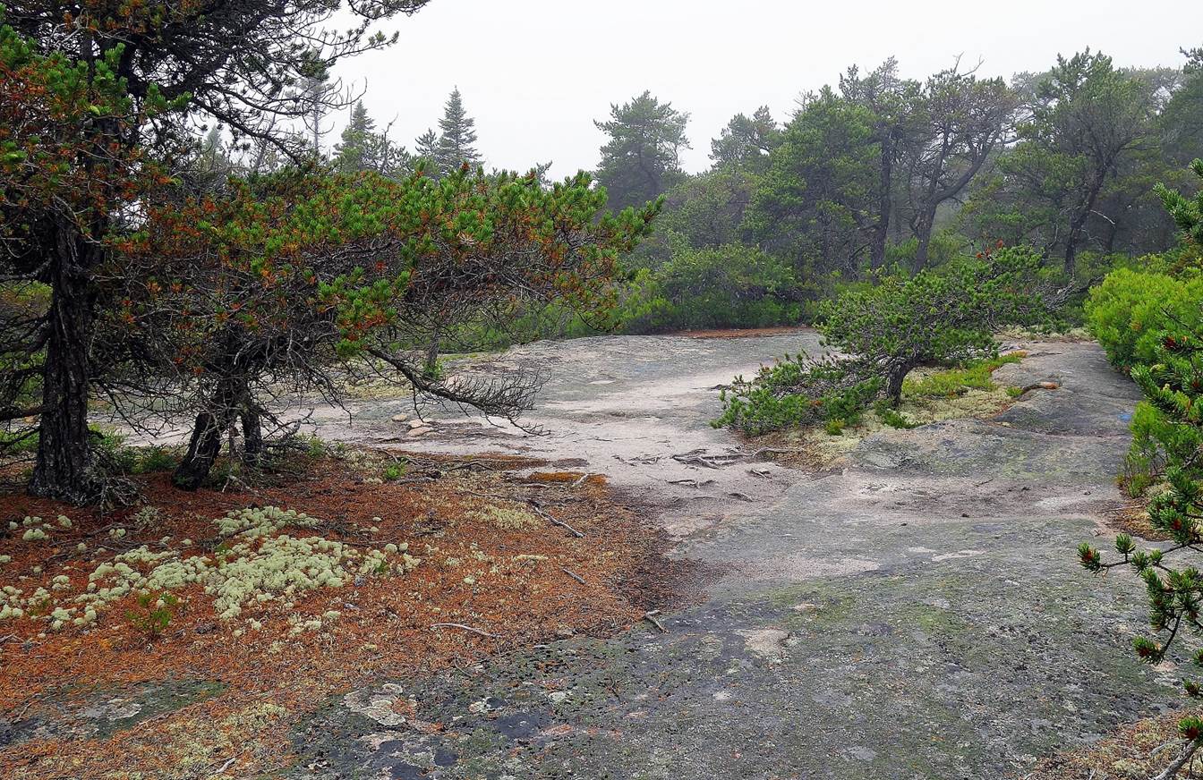
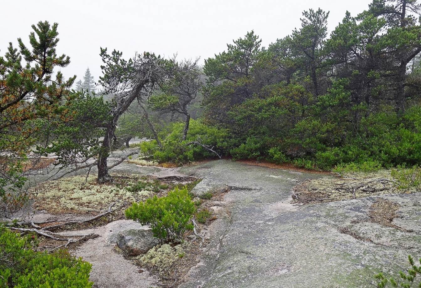
Mountain and Cadillac Cliff Trails (June 2017):
|
|
|
|
|
|
|
|
|
|
|
|
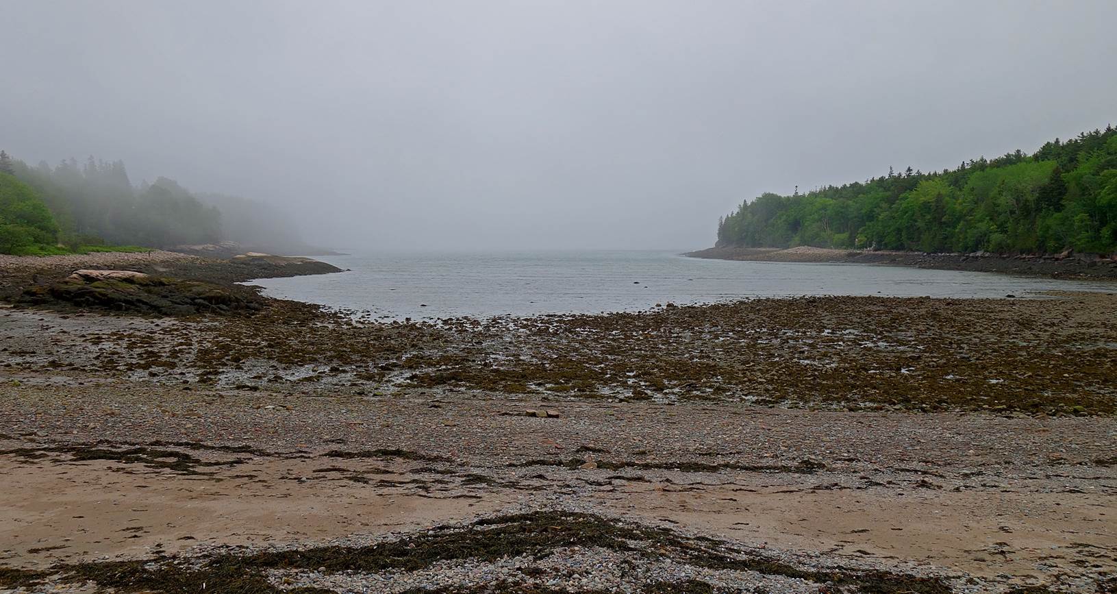
Otter Cove
at low tide (June 2017):
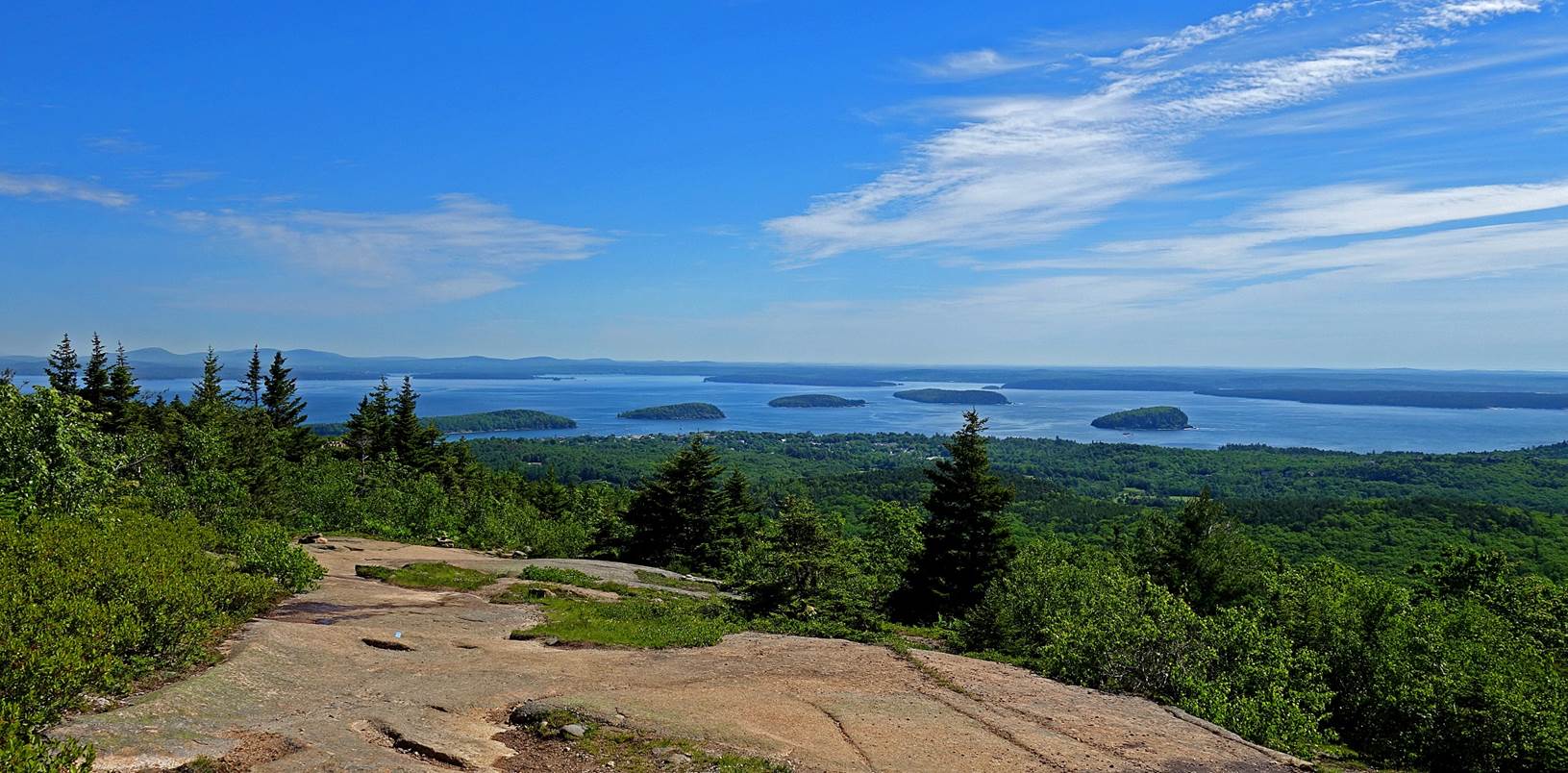
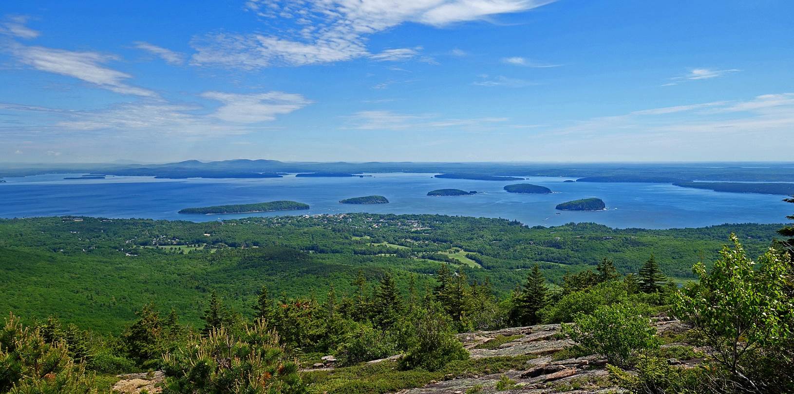
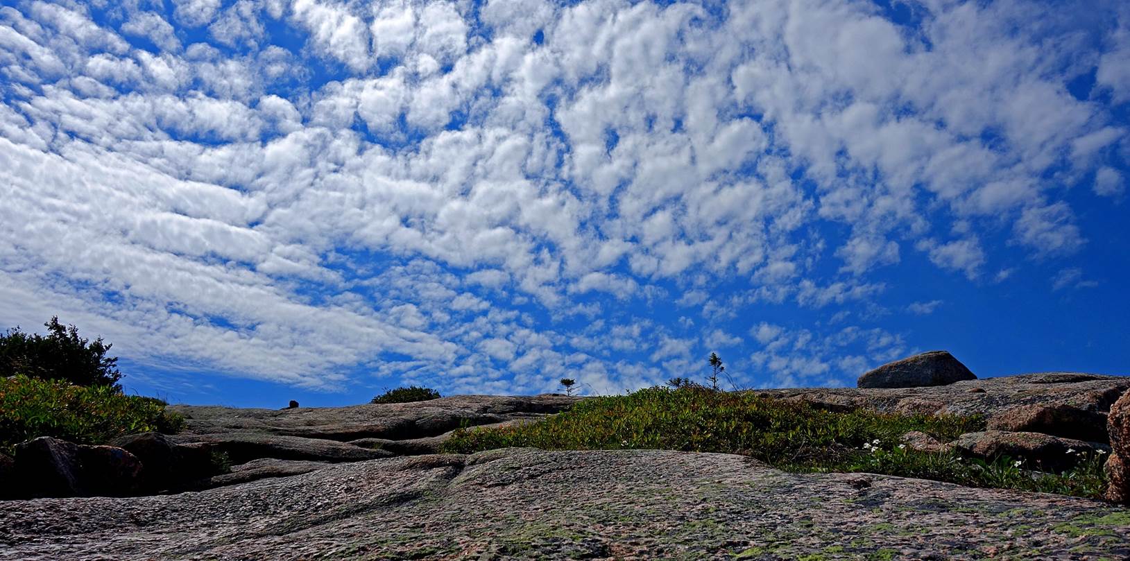
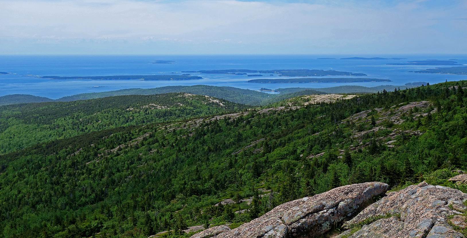
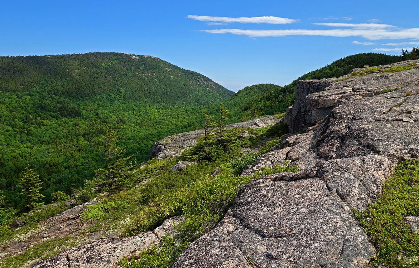
Cadillac
North Ridge Trail (June 2017):
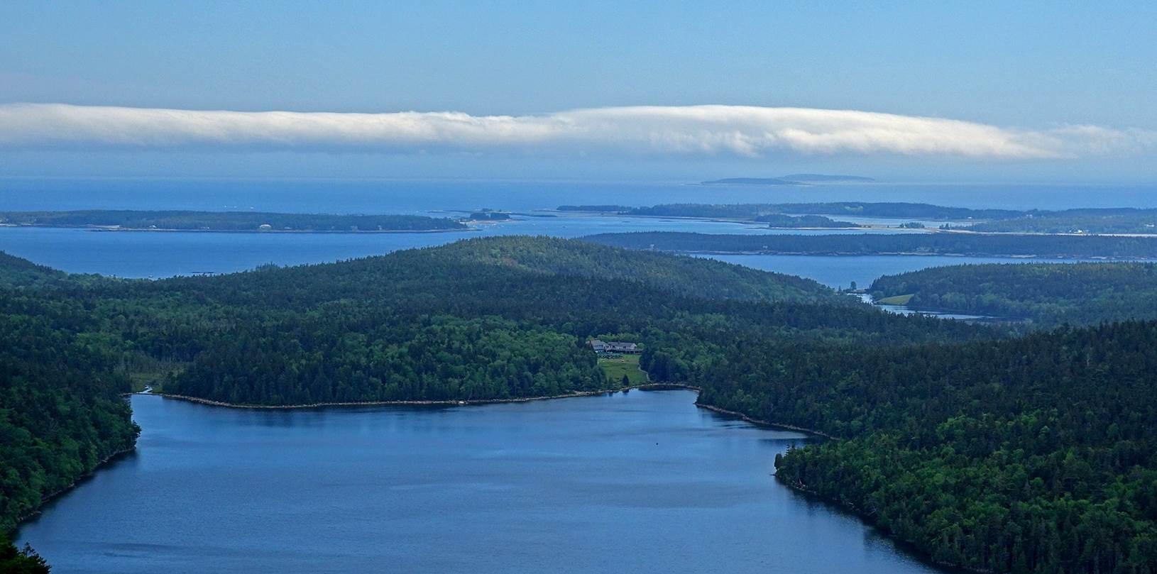
- Views from the ridge toward the north-east, over the town of Bar Harbor
and the Porcupines Islands.
- Patches of altocumulus perlucidus above the
pink granite ridge.
- View toward the south from the summit of Cadillac Mountain.
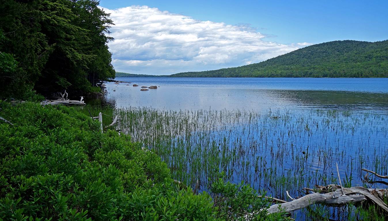
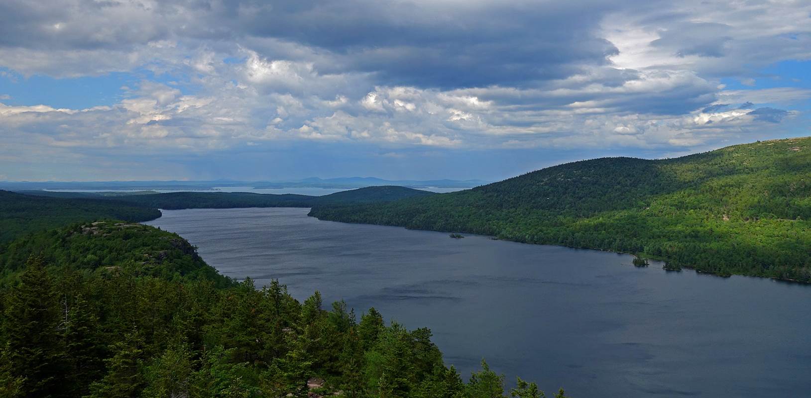
Jordan Pond
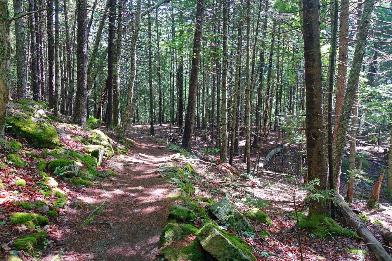
Carry, Eagle Lake Trail, Bubbles Trail, and Bubbles Divide (loop) (June 2017):
- Along Jordan Pond Carry.
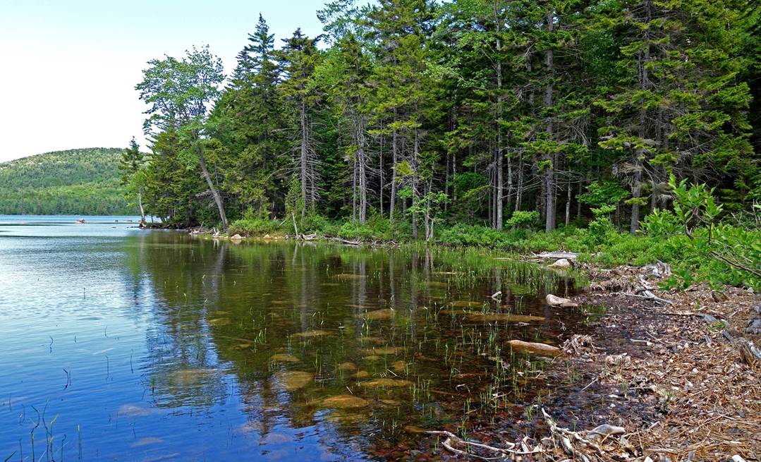
- Southern shore of Eagle Lake and Eagle Lake Trail.
|
|
|
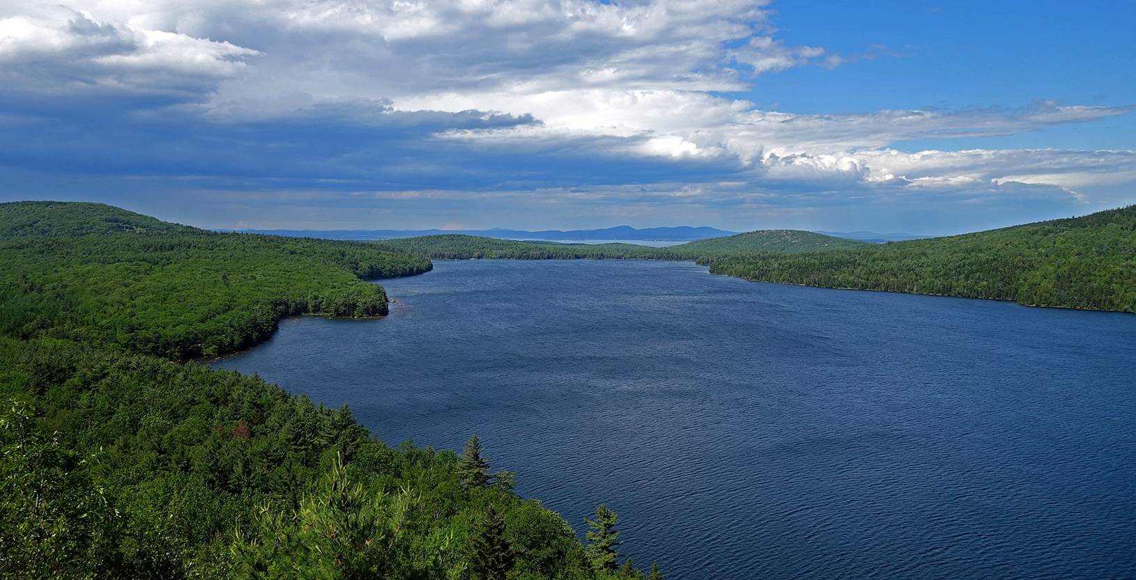
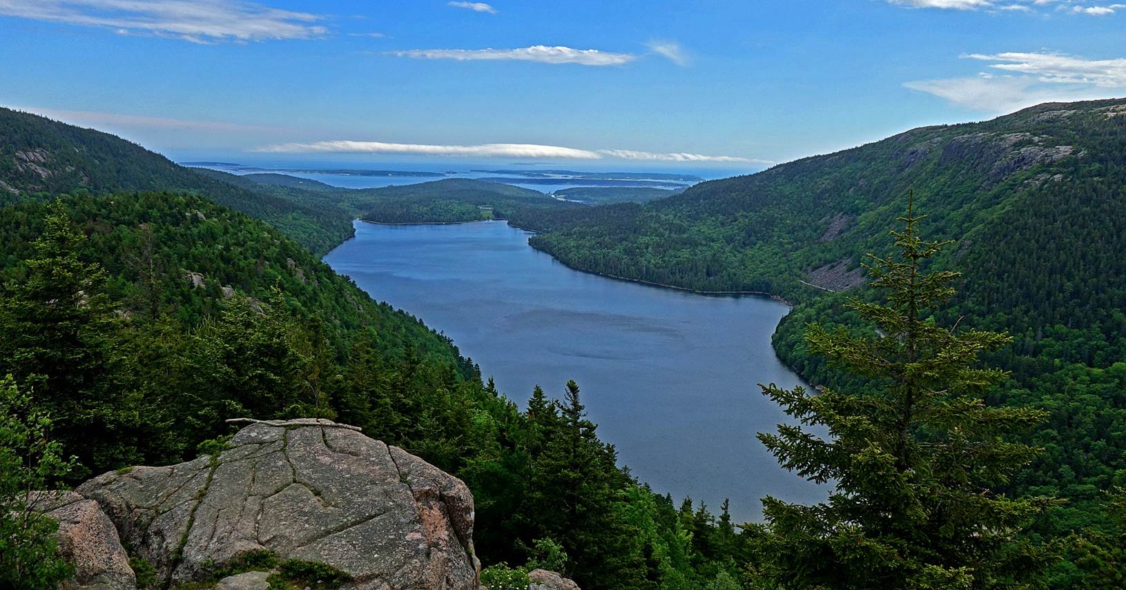
- Other views of Eagle Lake.
- Eagle Lake seen from Connors Nubble.
- Left: During the descent from Connors Nubble. Right: Southern tip of
Eagle Lake seen from the ridge between Connors Nubble and North Bubble.
|
|
|
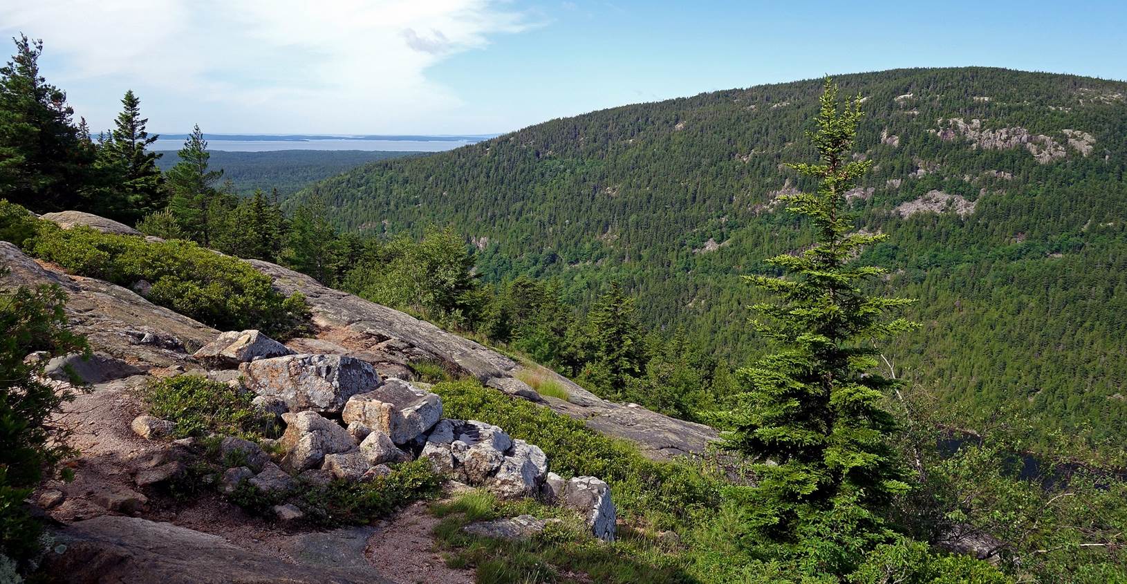
- Ridge between Connors Nubble and North Bubble (on the left of the
photo) and Pemetic Mountain (on the left, in the
background).
- Another view of Eagle Lake from the ridge.
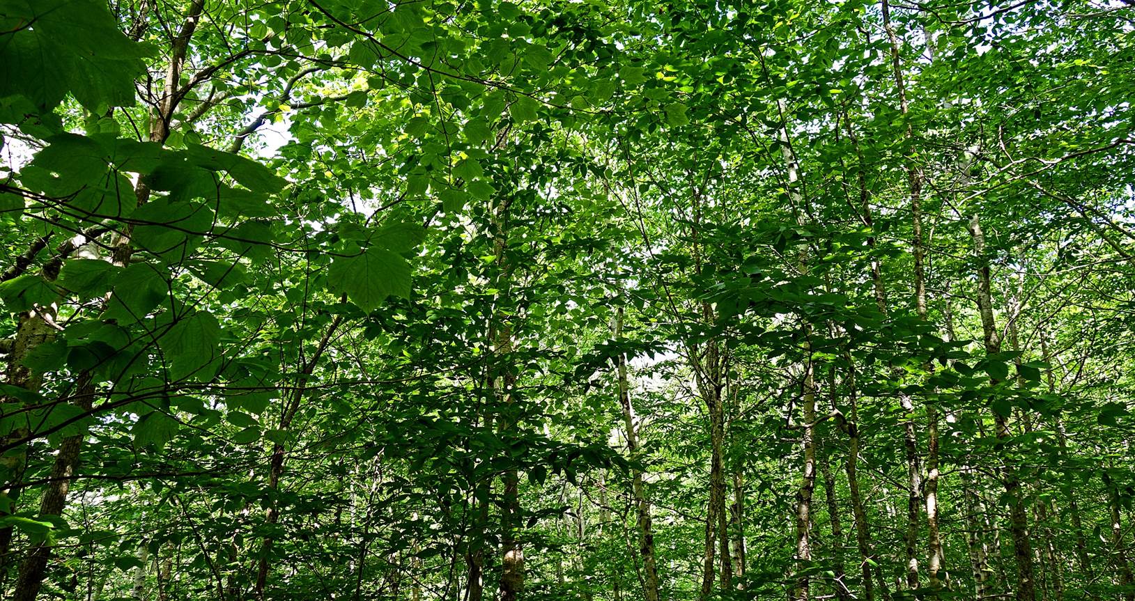
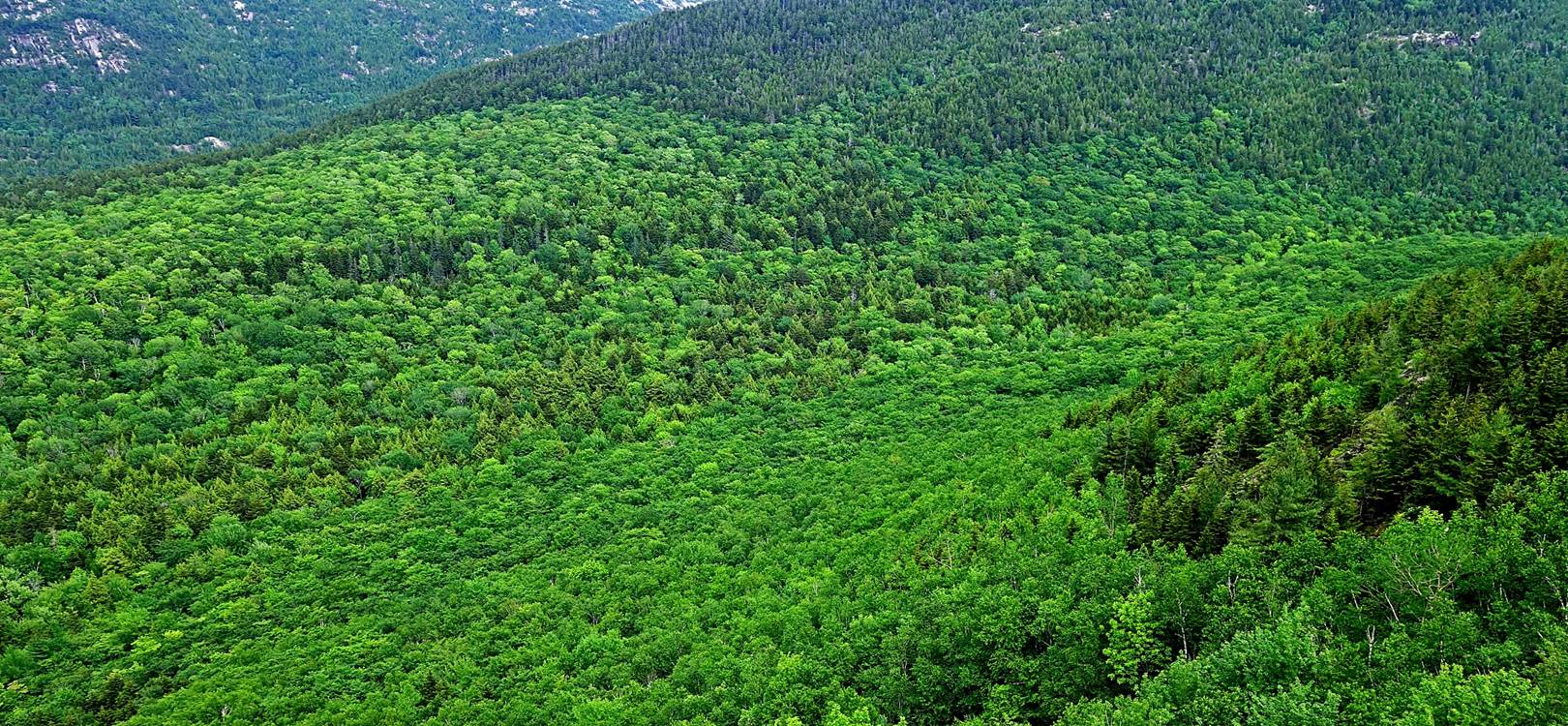
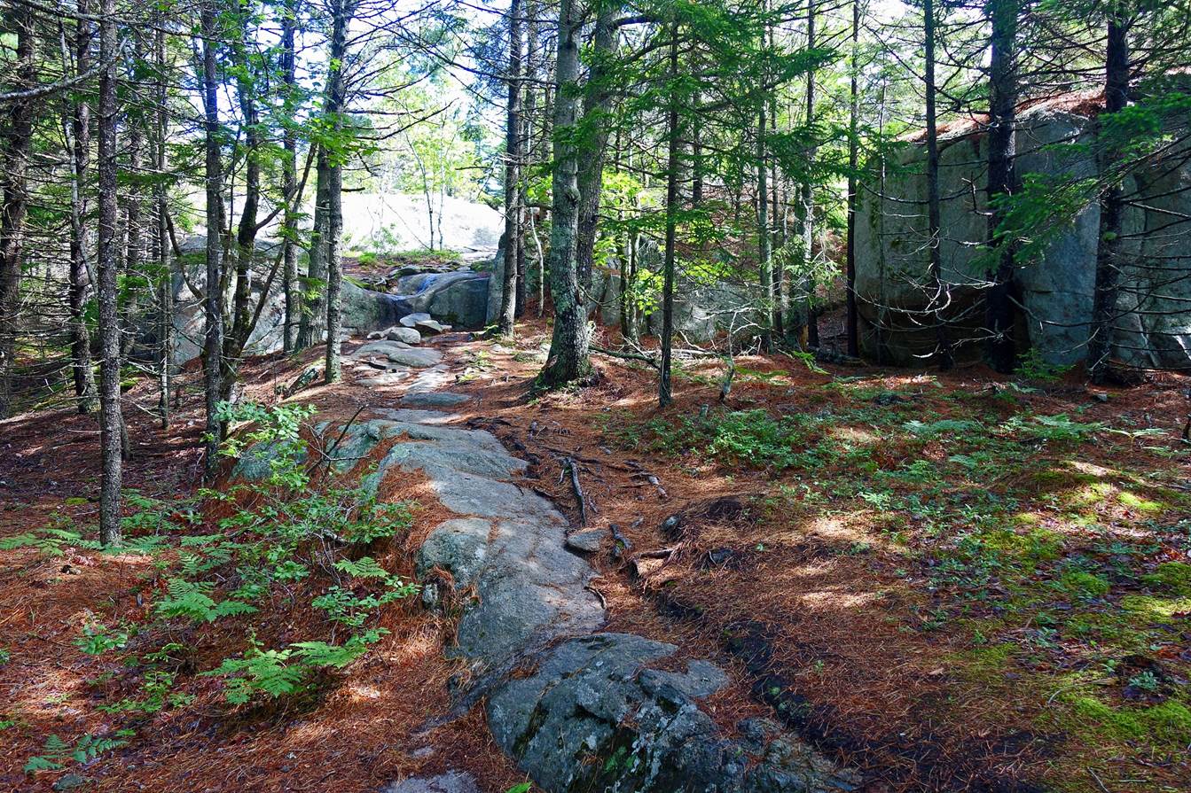
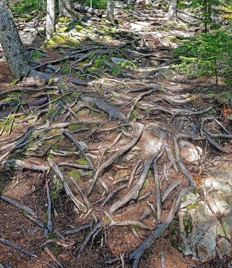
- Forest on the eastern side of the ridge before reaching North Bubble.
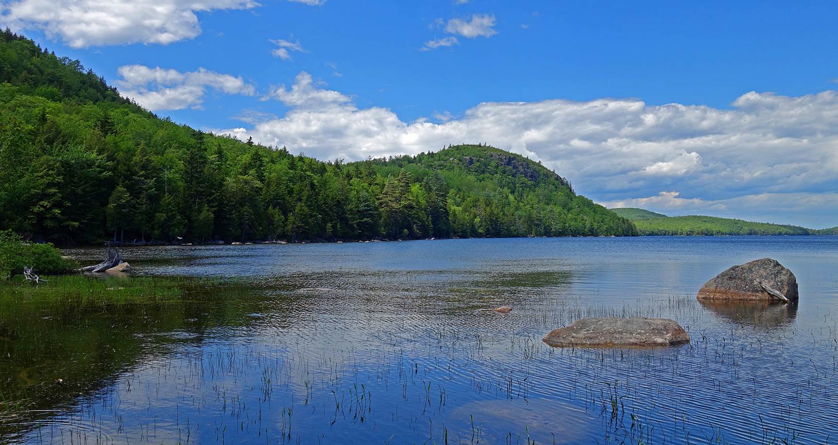
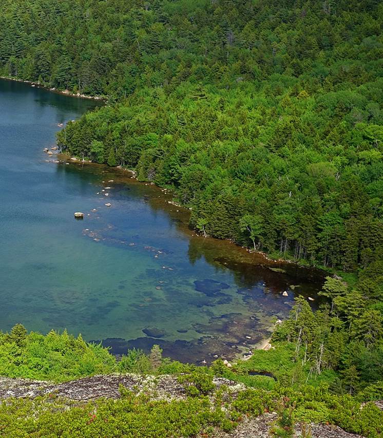
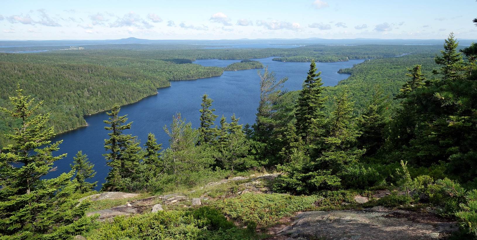
- Jordan Pond seen from North Bubble.
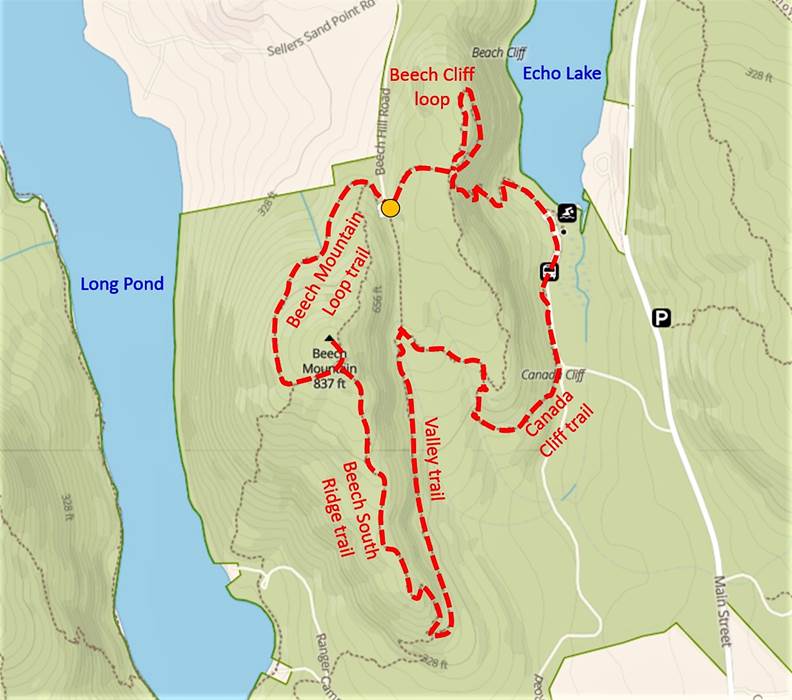
Beach
Mountain and Canada Cliff (June 2021):
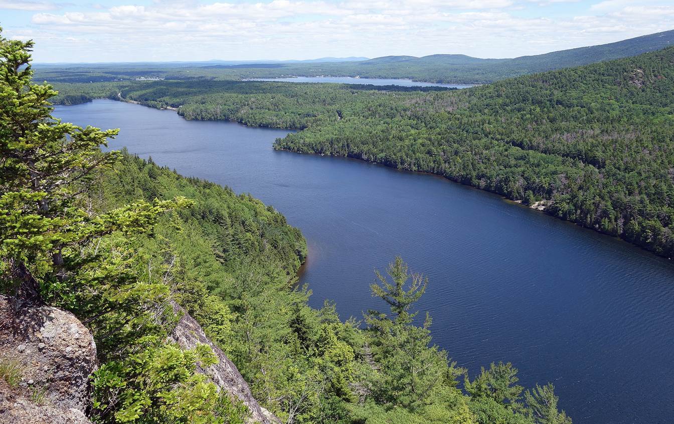
- View over
Long pond from Beach Mountain Loop trail.
- Another view
from Beach Mountain Loop trail.
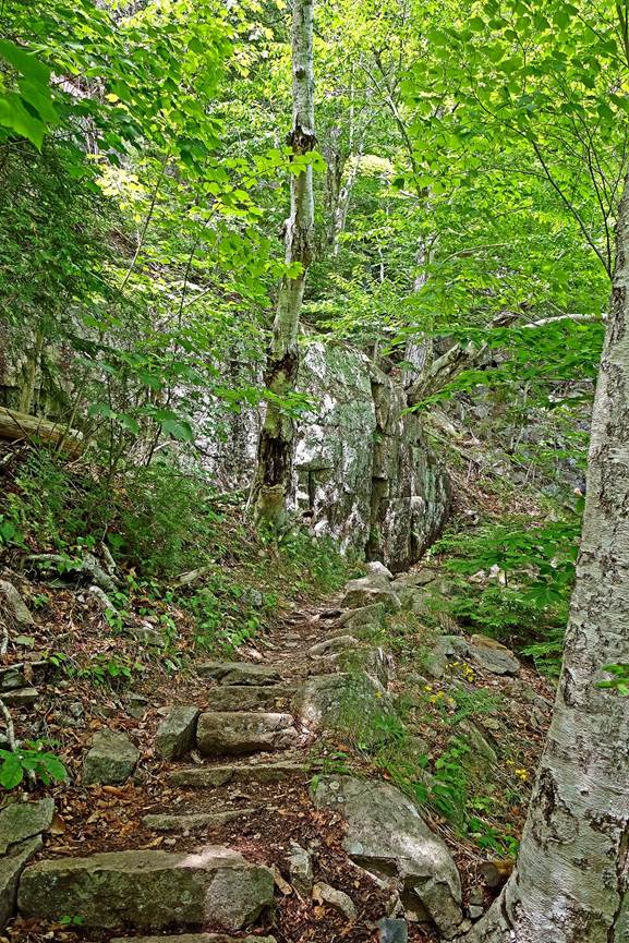
- Along
Beech South Ridge trail.
- Along Valley
trail.
- Along
Canada Cliff trail.
|
|
|
- View over
Echo lake from Beech cliff.
- Fisherman
house on stilts in Tremont, on Mt. Desert island, south
of Long pond and Echo lake.
- View of
the stilts below the house.
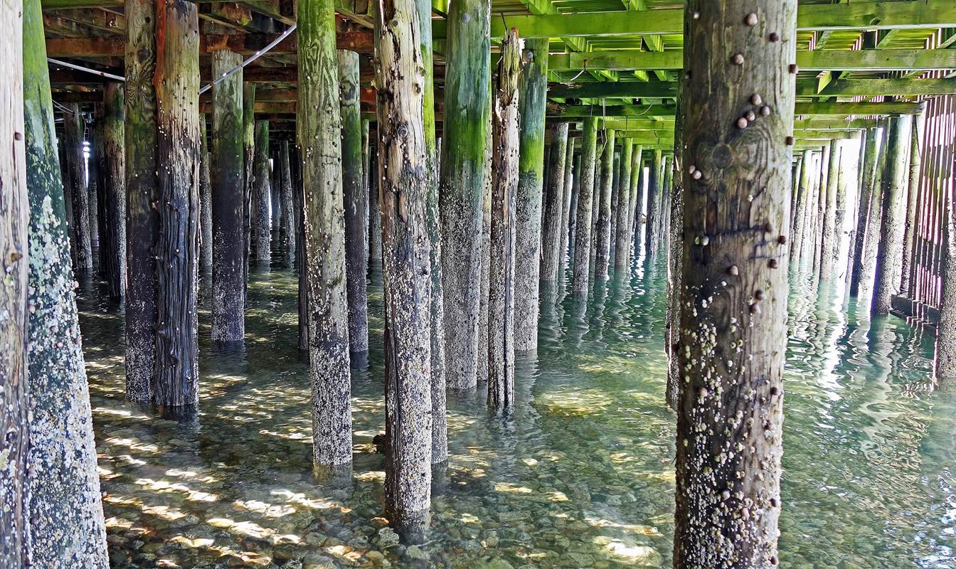
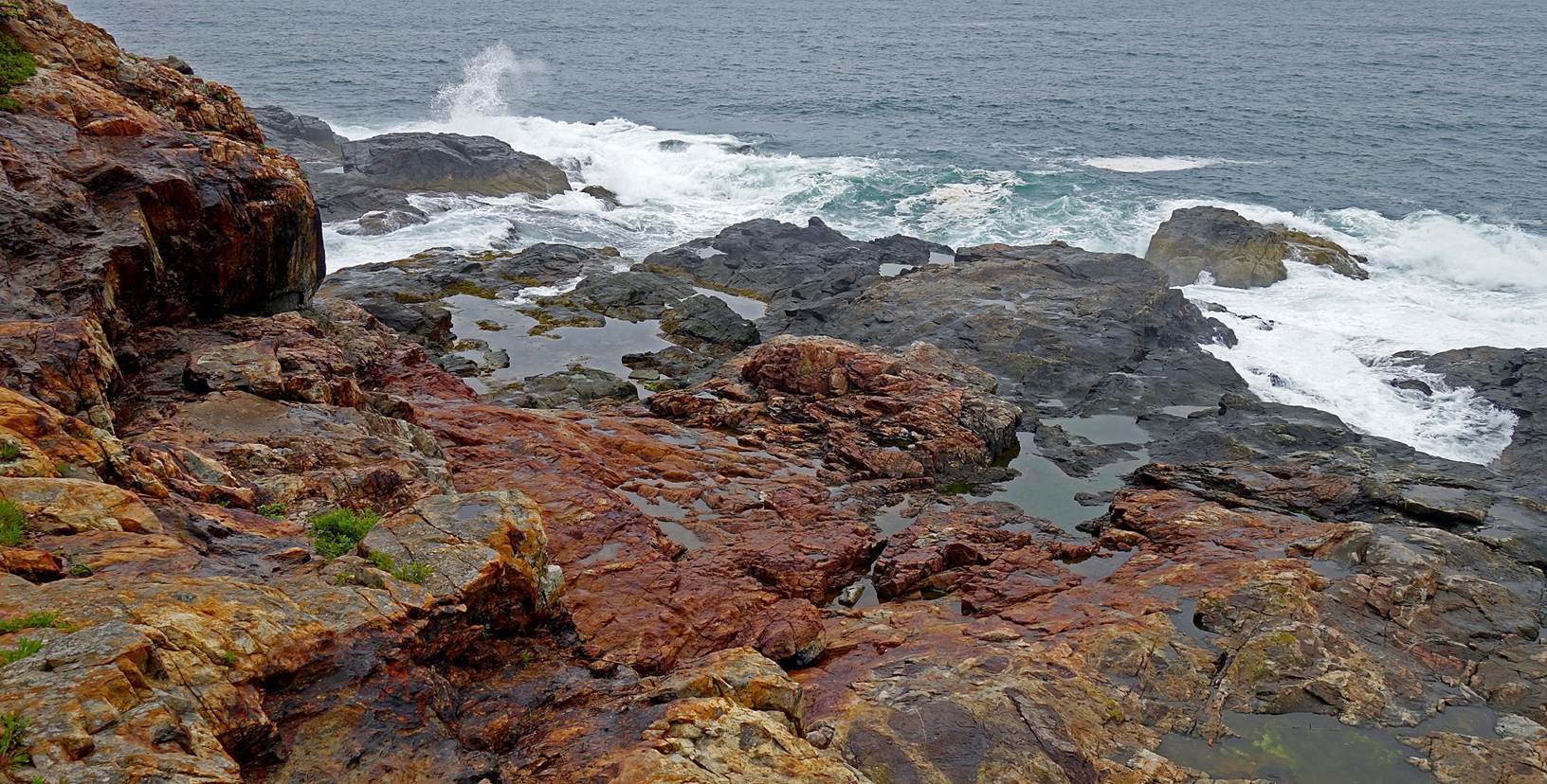
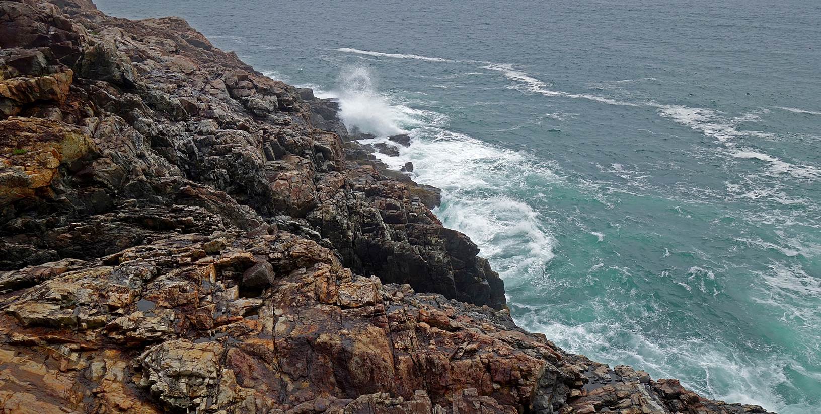
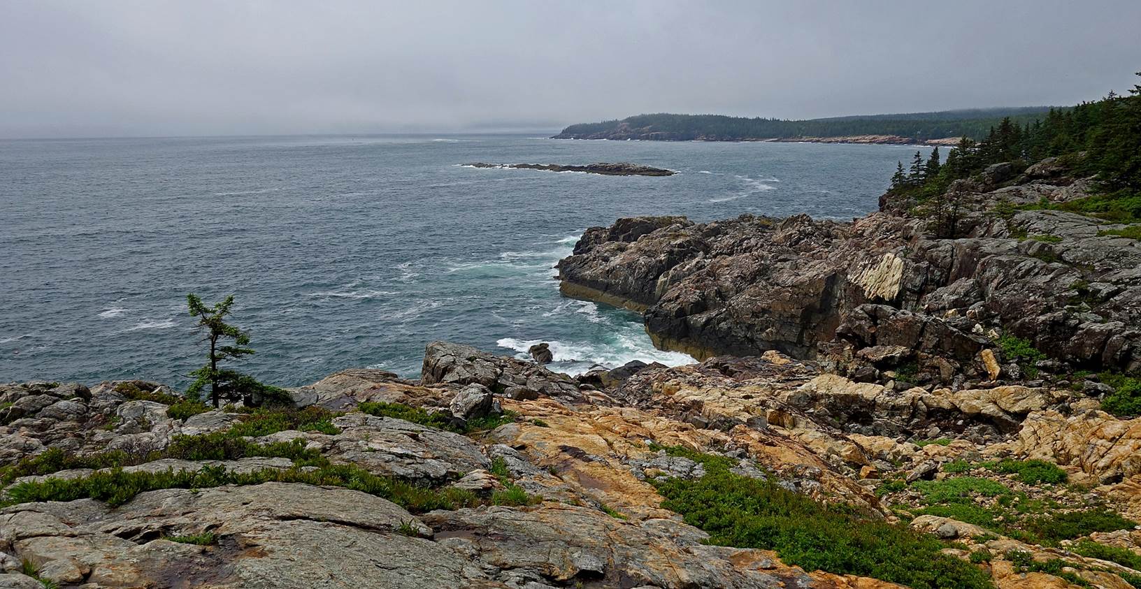
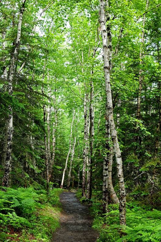
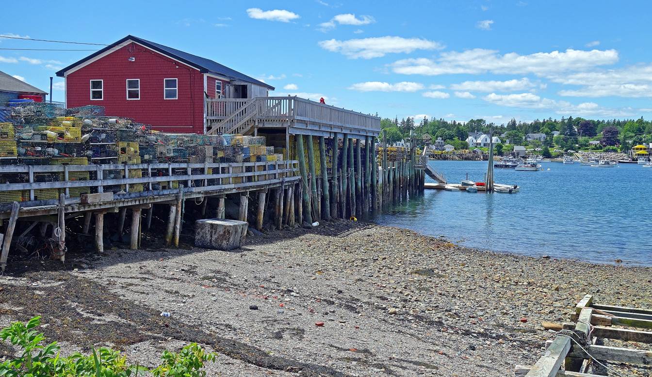
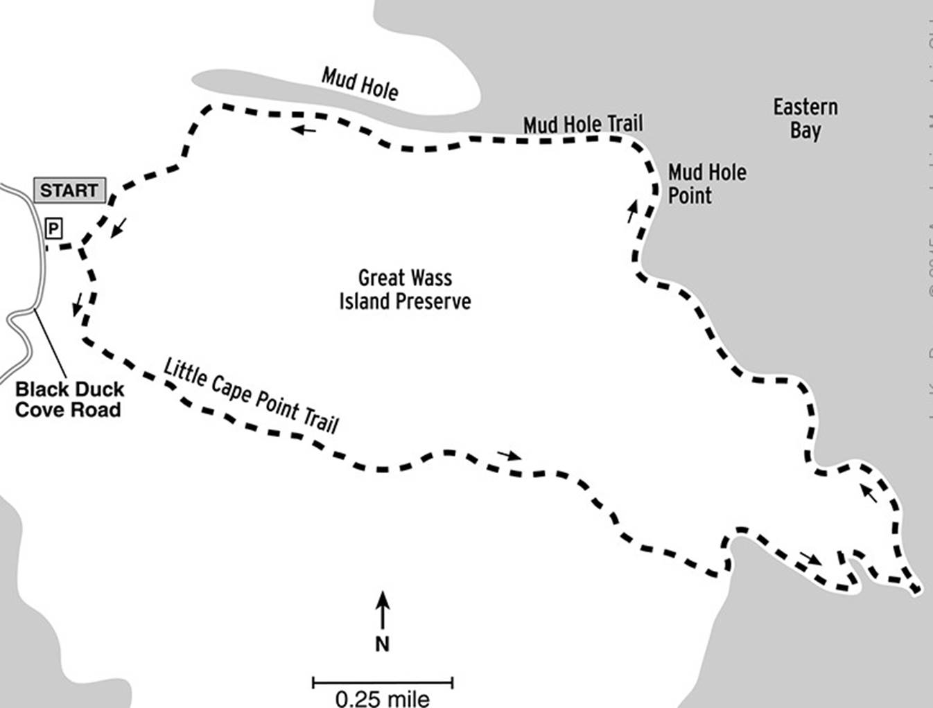
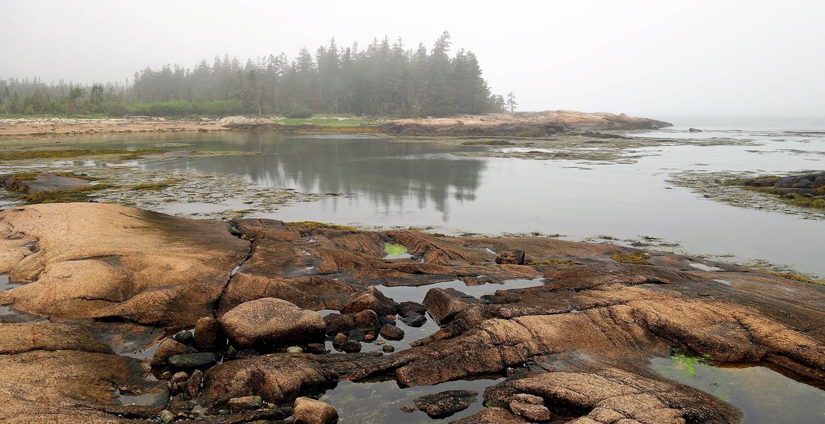
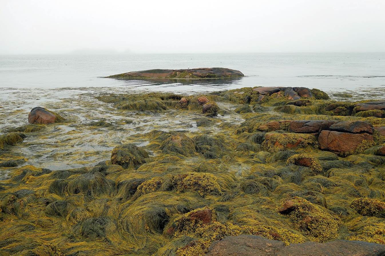
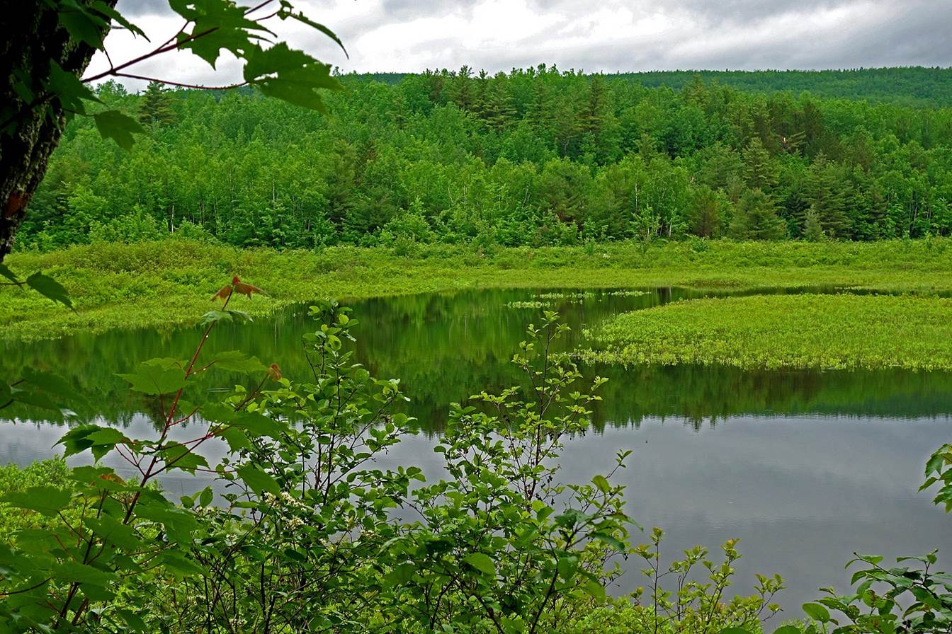
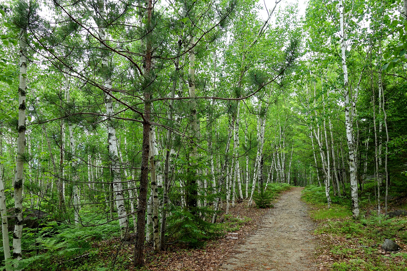
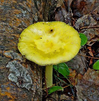
Great Wass island (June 2021).
[Source: https://www.outdoors.org/resources/amc-outdoors/adventures/best-day-hikes-along-the-maine-coast/]
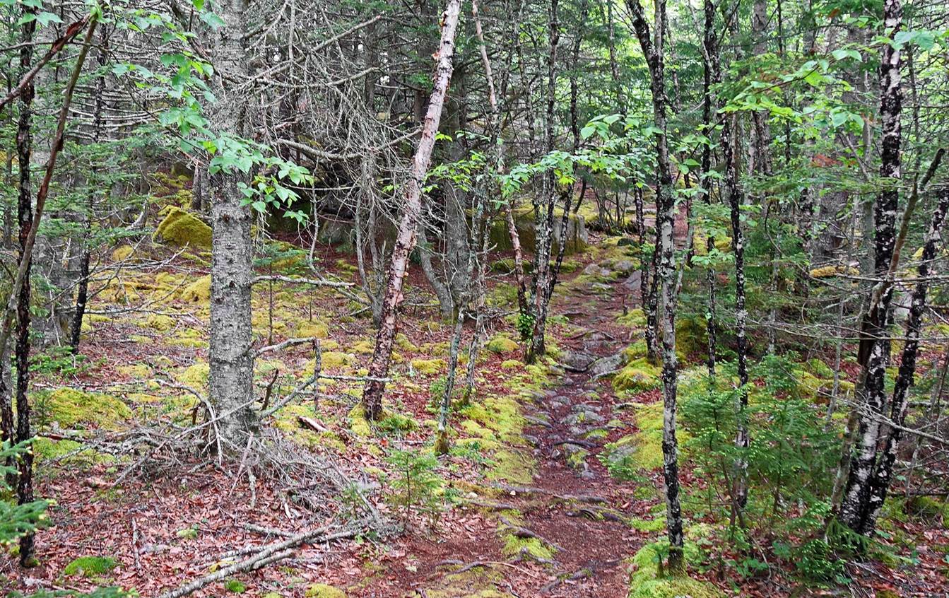
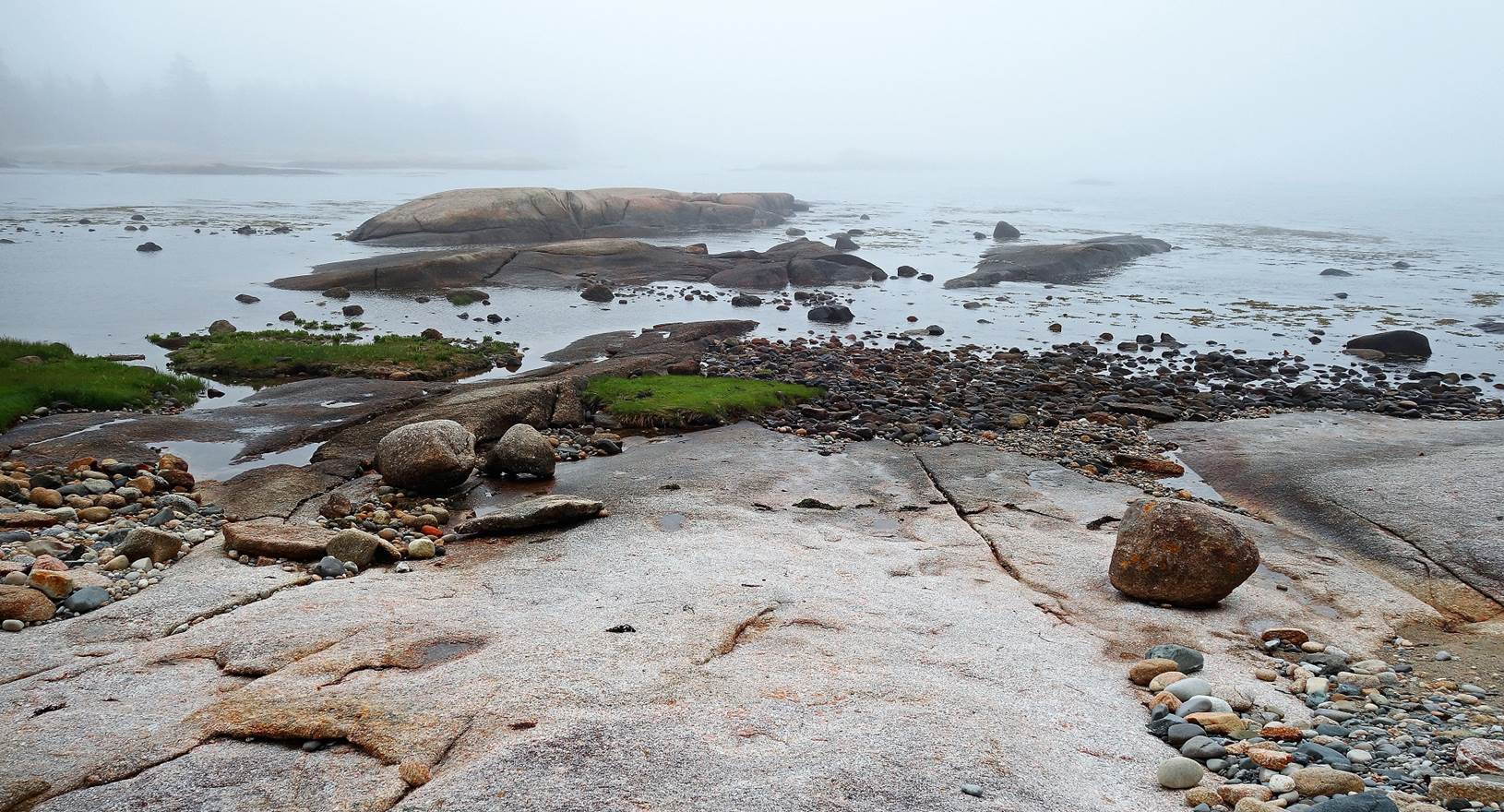
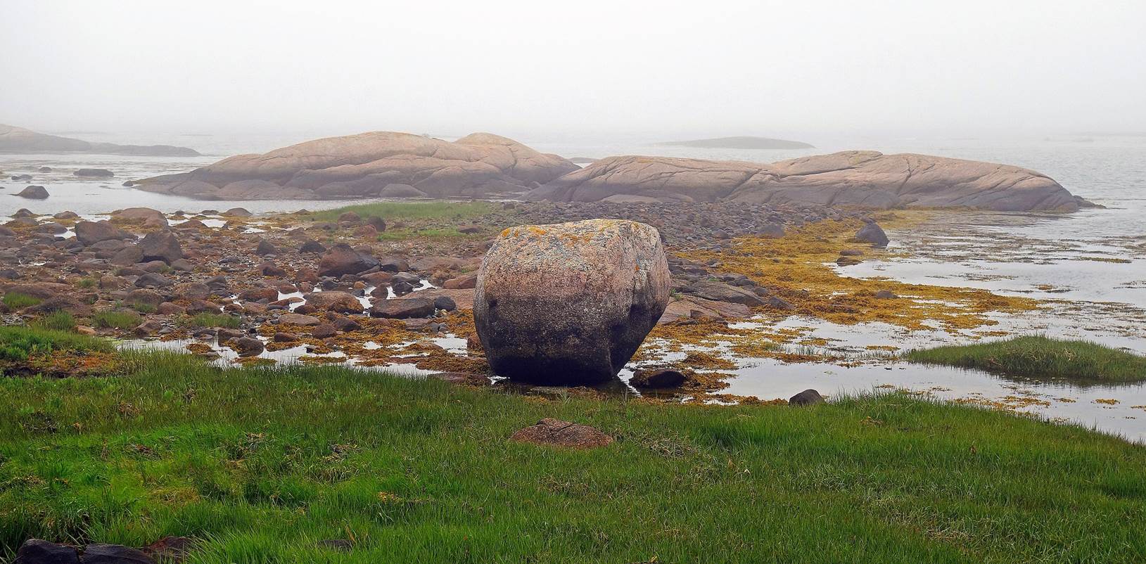
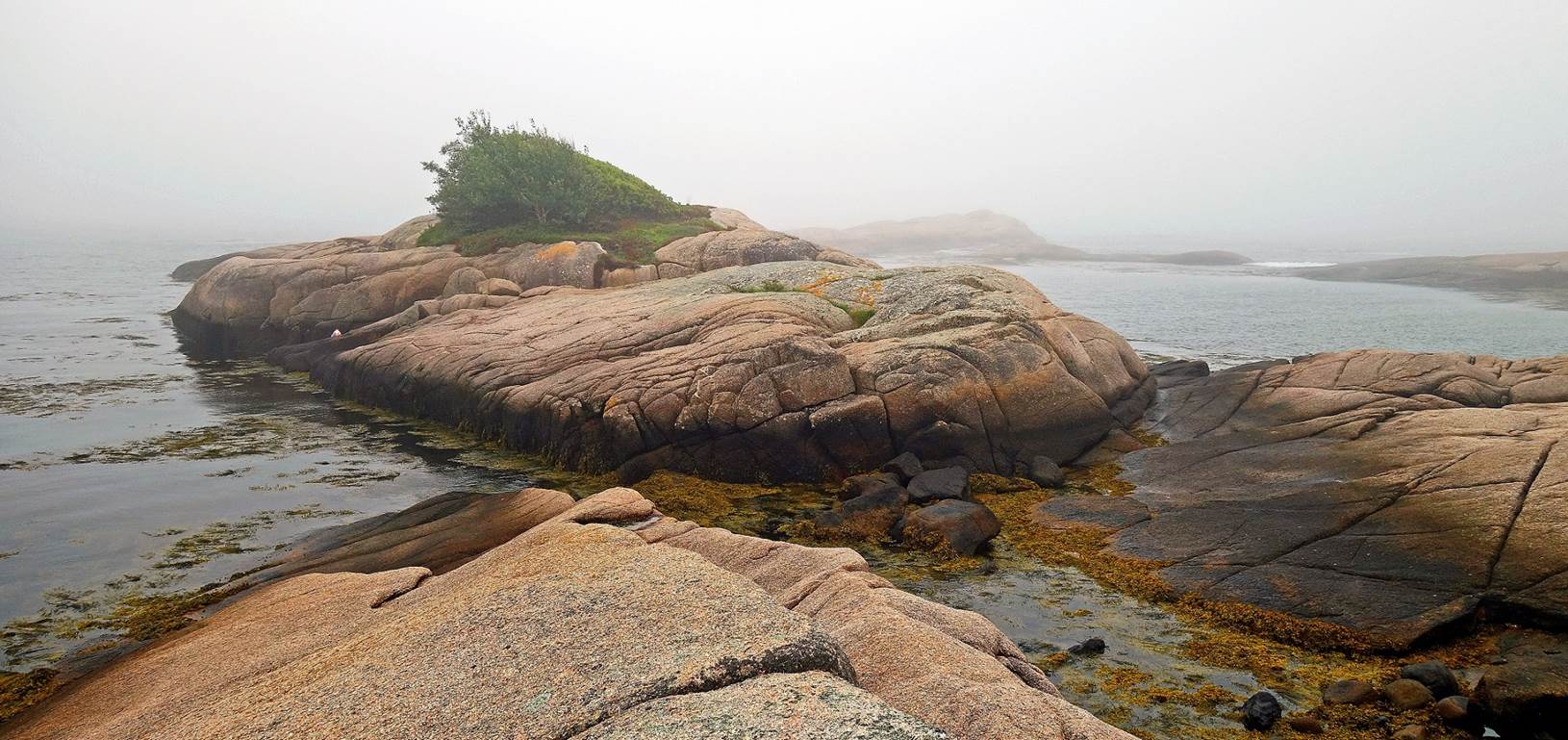
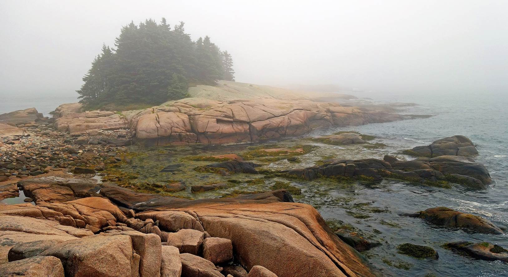
Along the Little Cape Point trail.
|
|
|
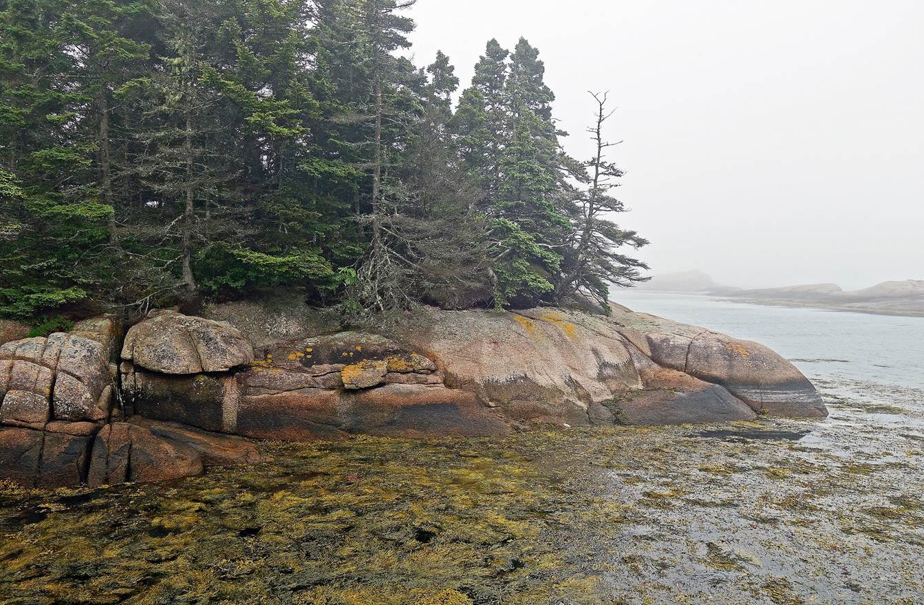
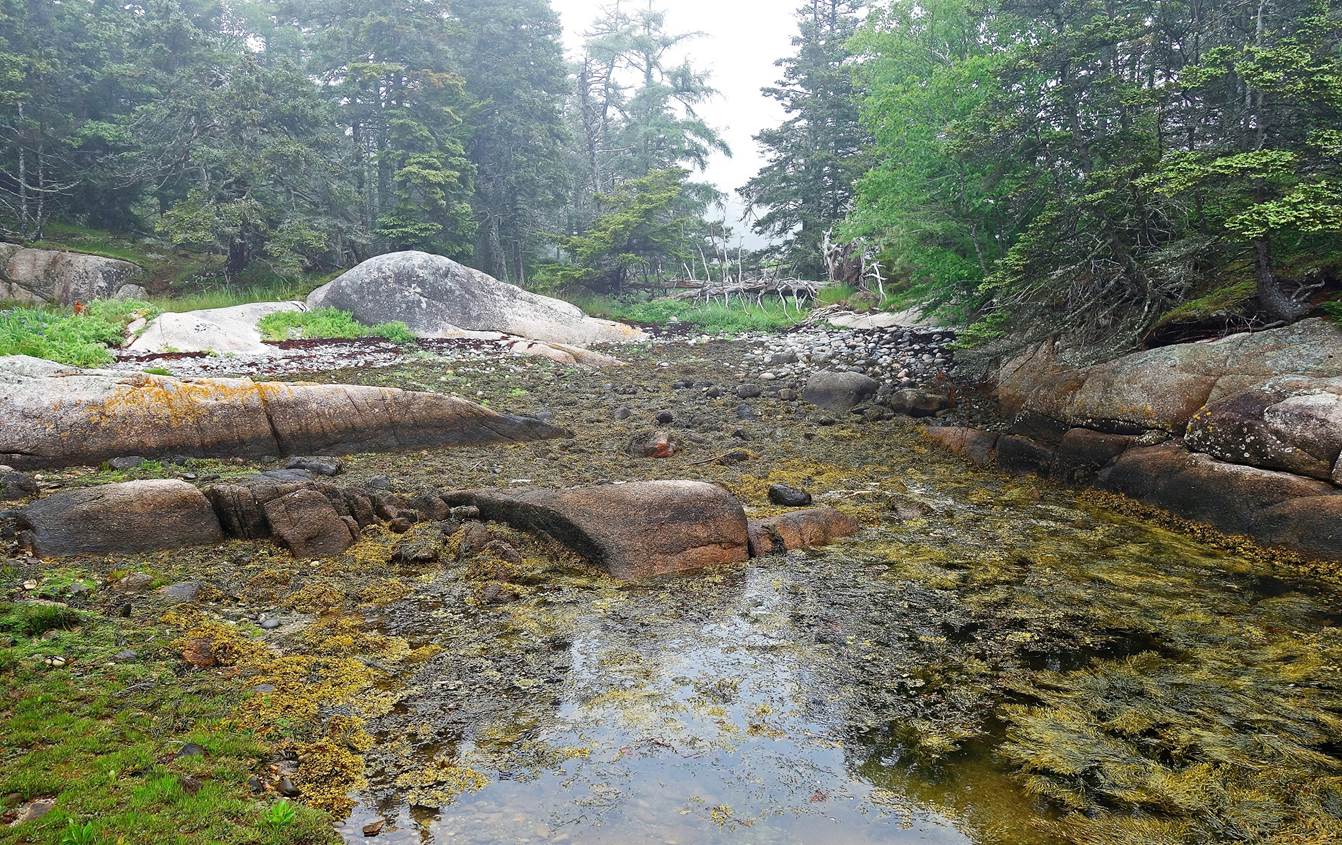
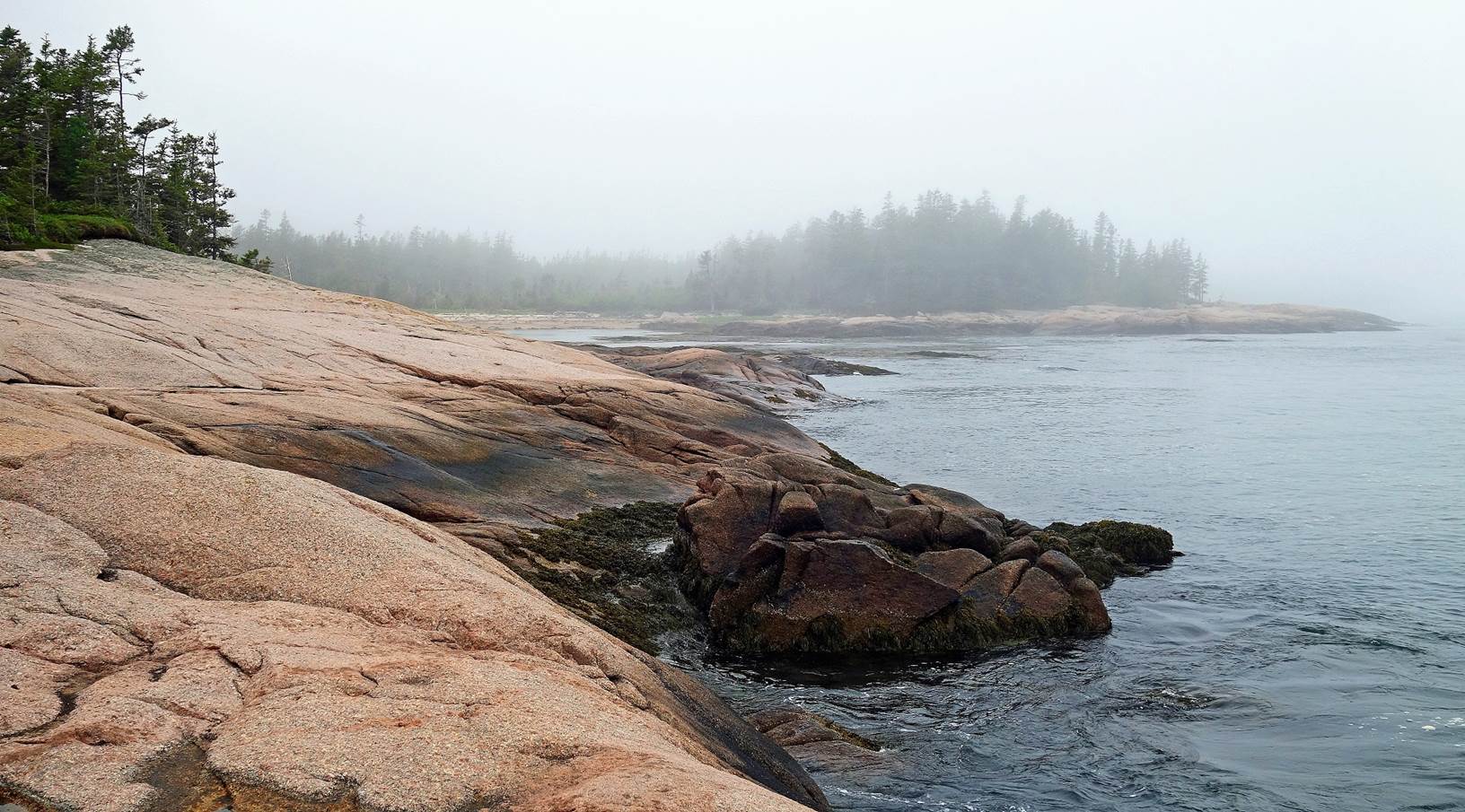
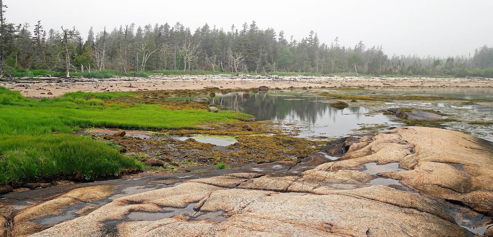
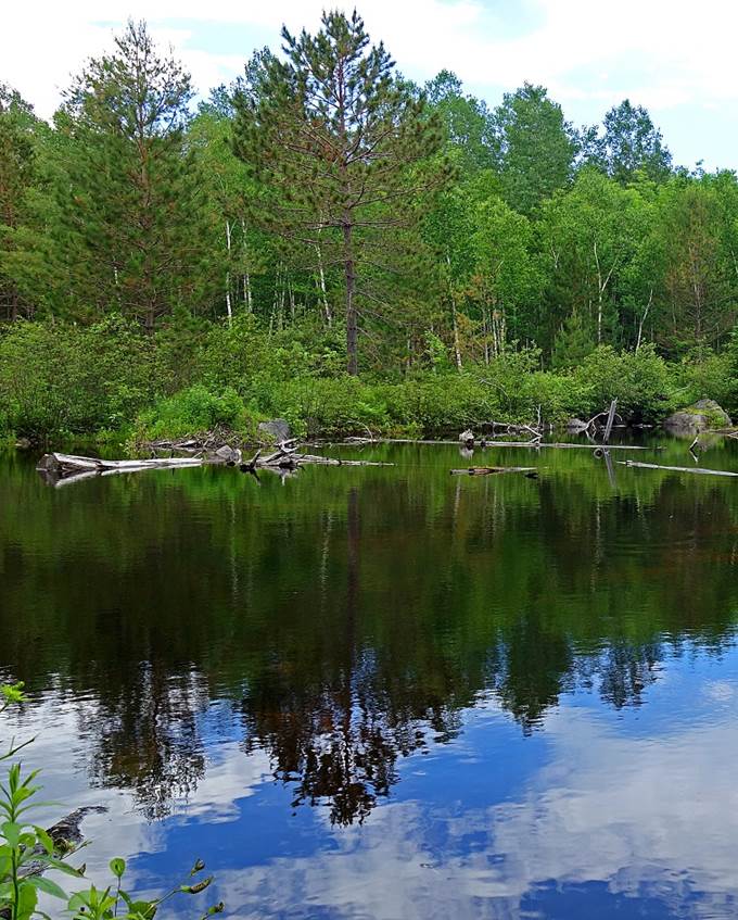
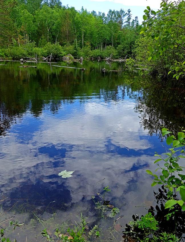
Along the Mud Hole trail.


Baxter State Park (June 2017).
|
|
|
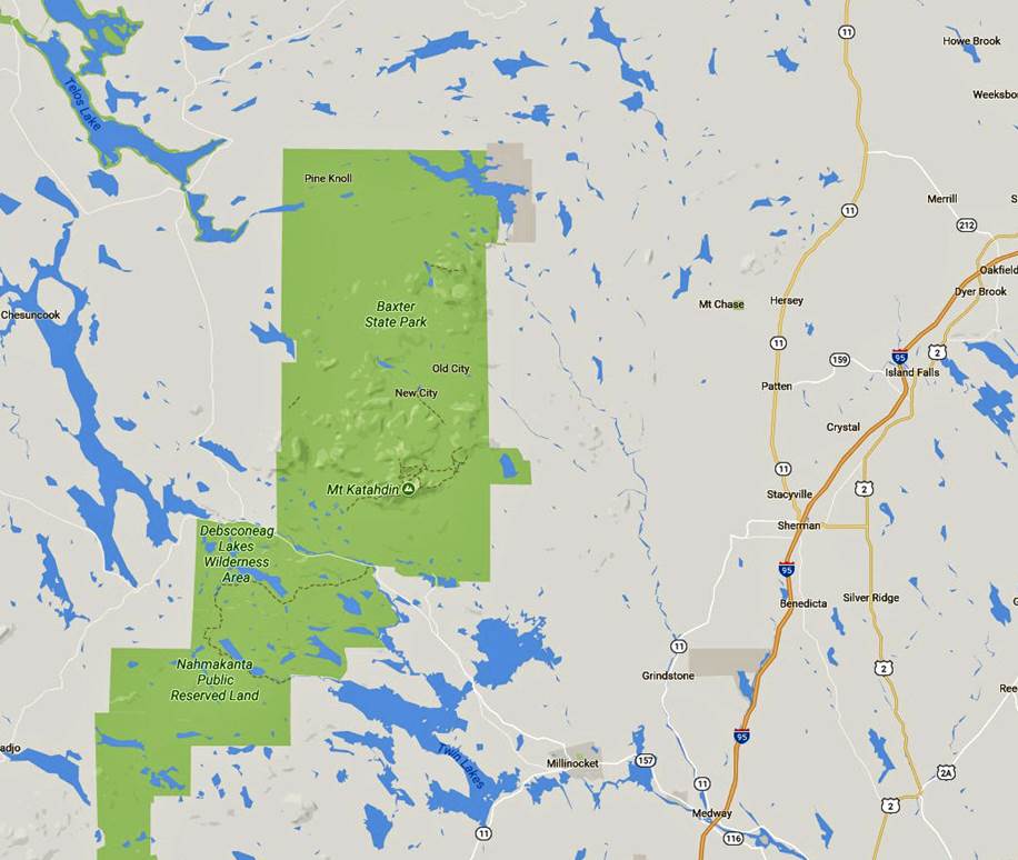
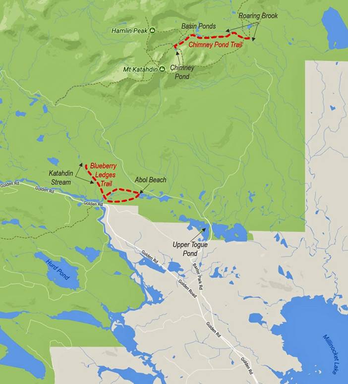
[The hikes are indicated in dotted red
lines in the map on the right.]
Mount Katahdin is the highest summit (5267ft, 1605m) in the state of
Maine and the northern terminus of the Appalachian Trail. The Appalachian Trail′s
southern terminus is Springer Mountain in the state of Georgia. The trail is
approximatively 2200 miles (3500 km) long.
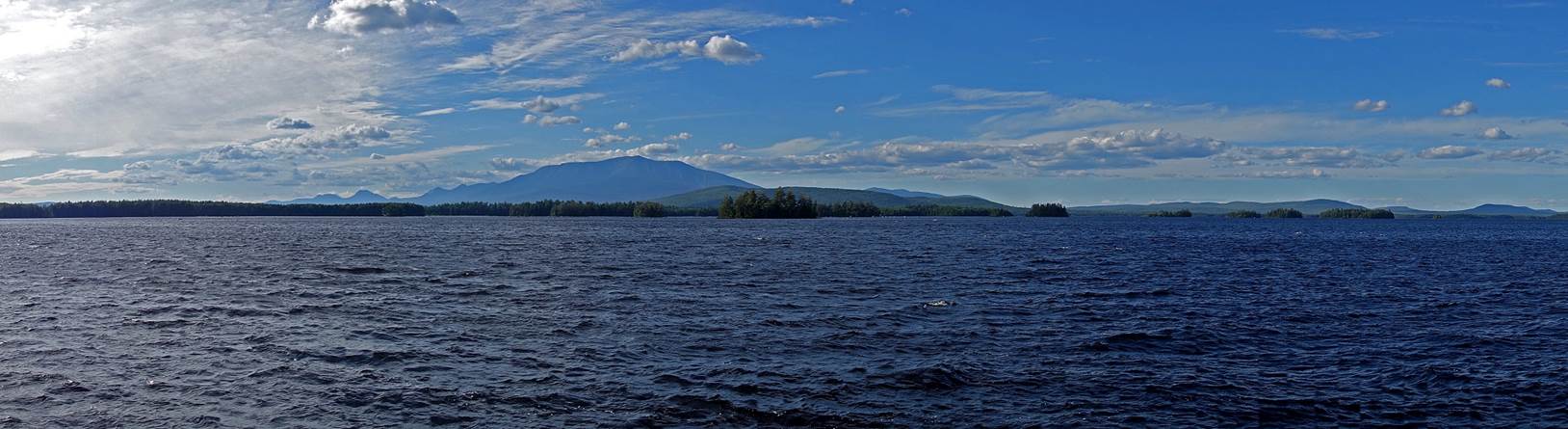
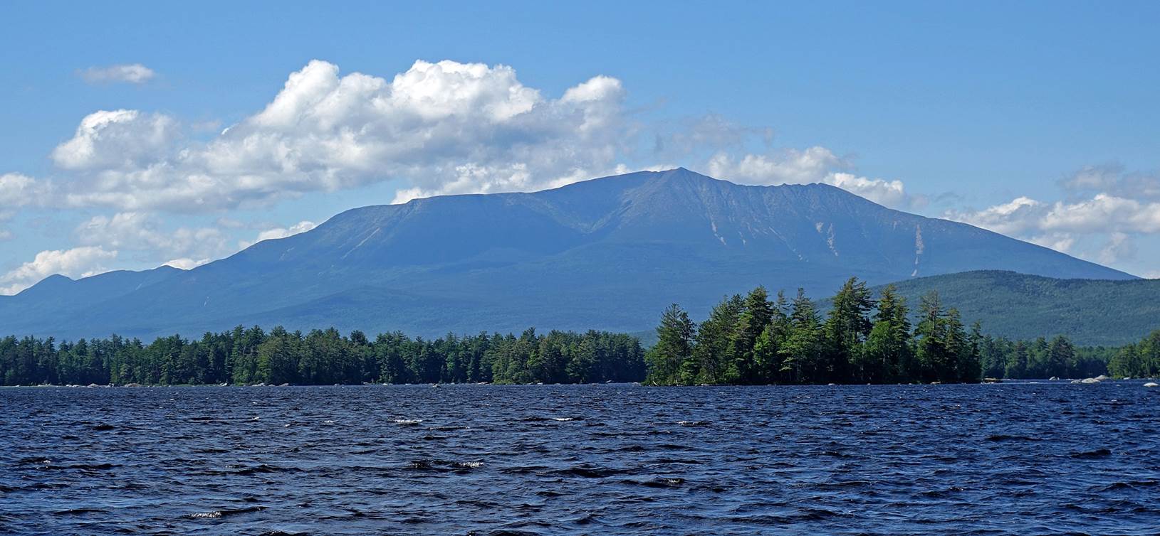
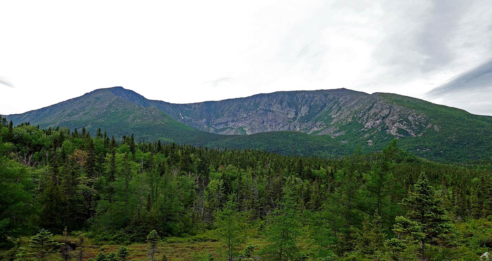
Mount Katahdin seen from Millinocket Lake:
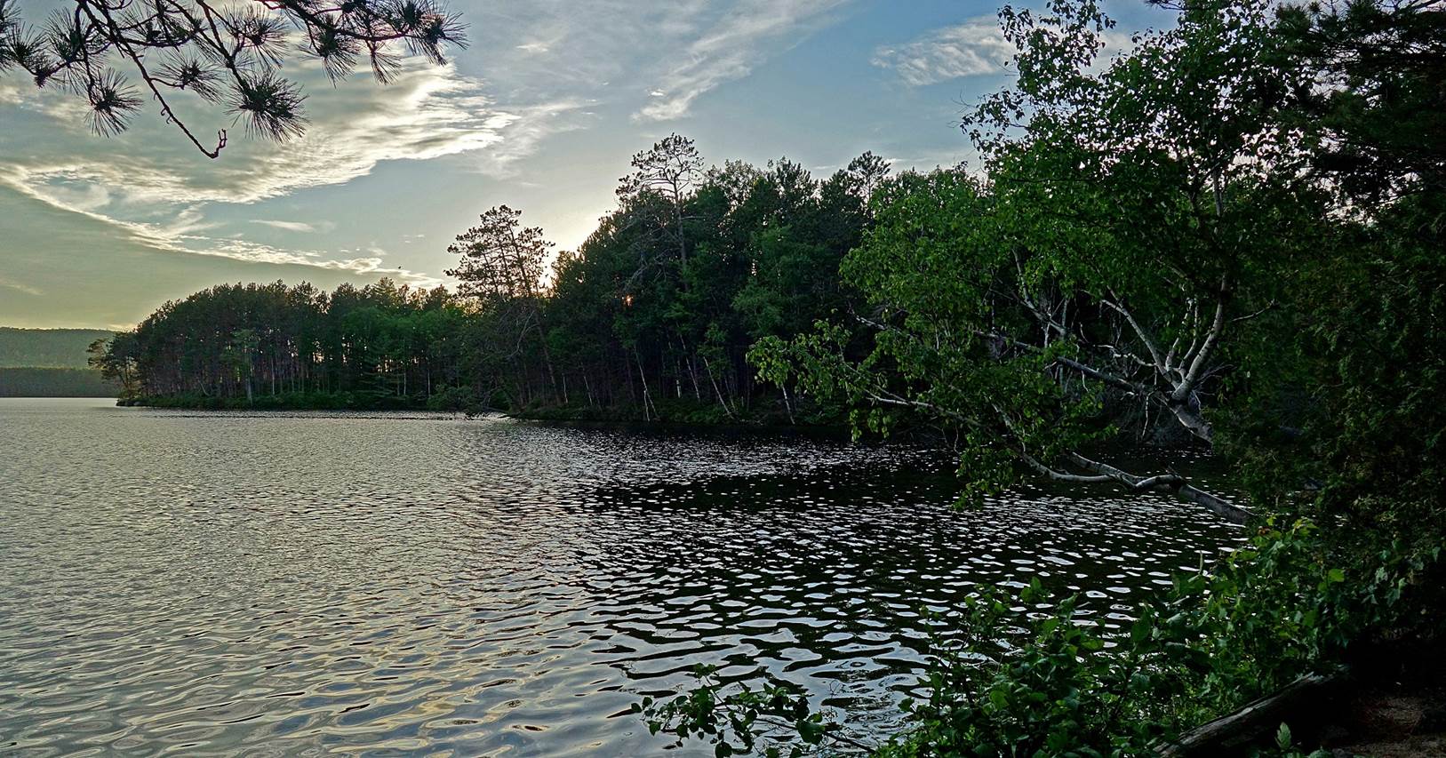
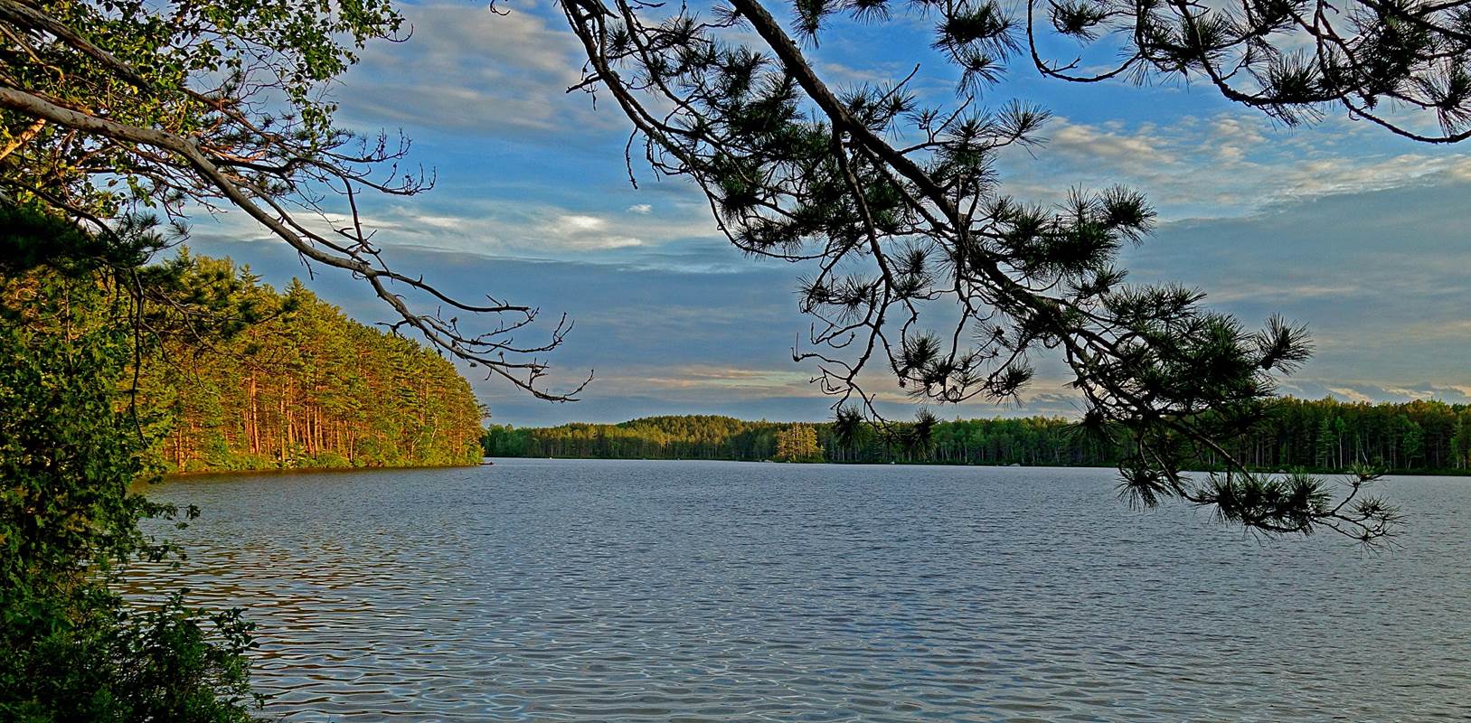
Upper Togue
Pond:
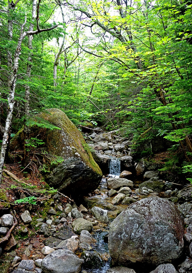
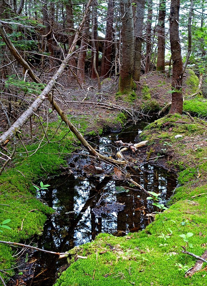
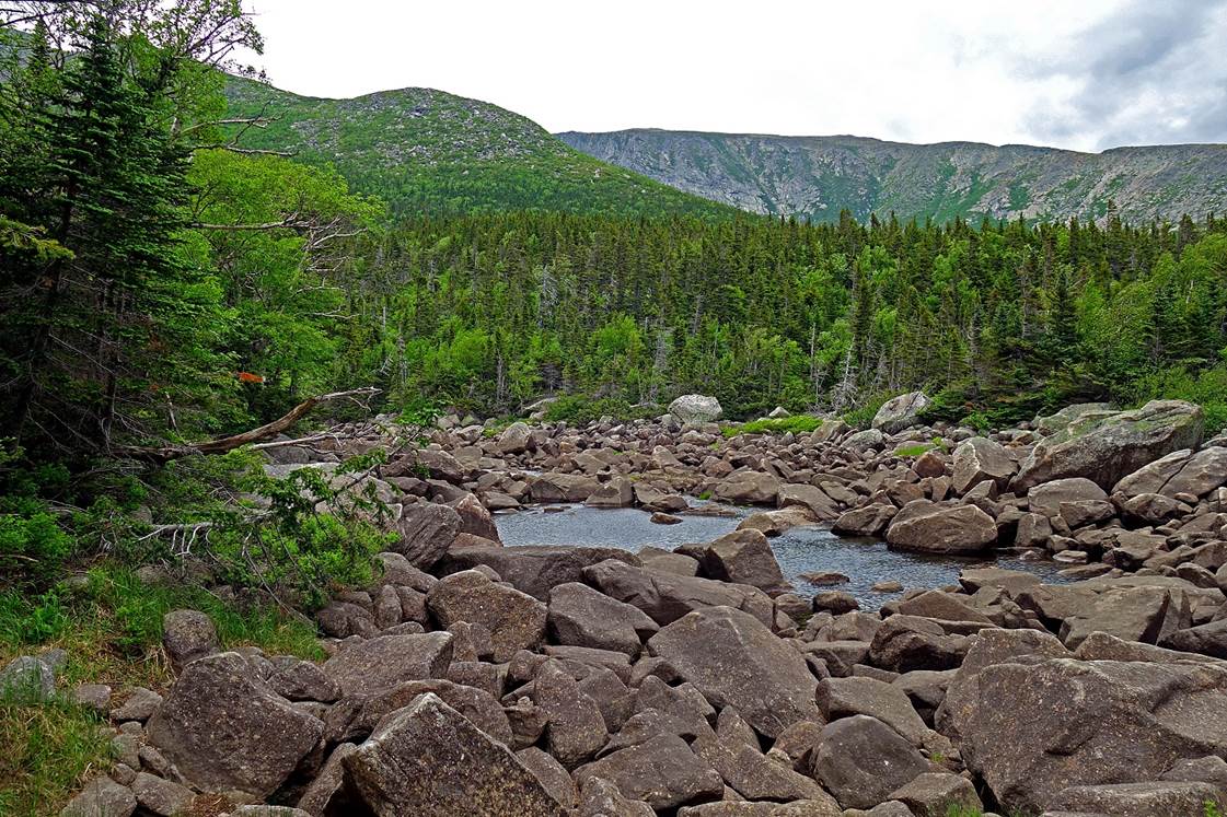
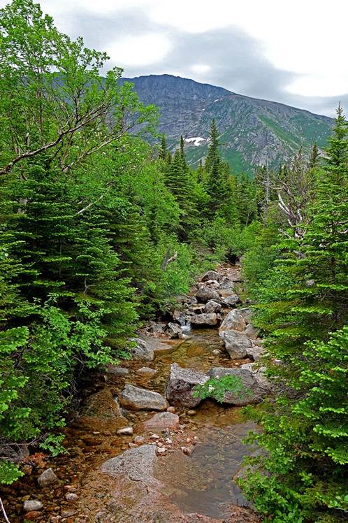
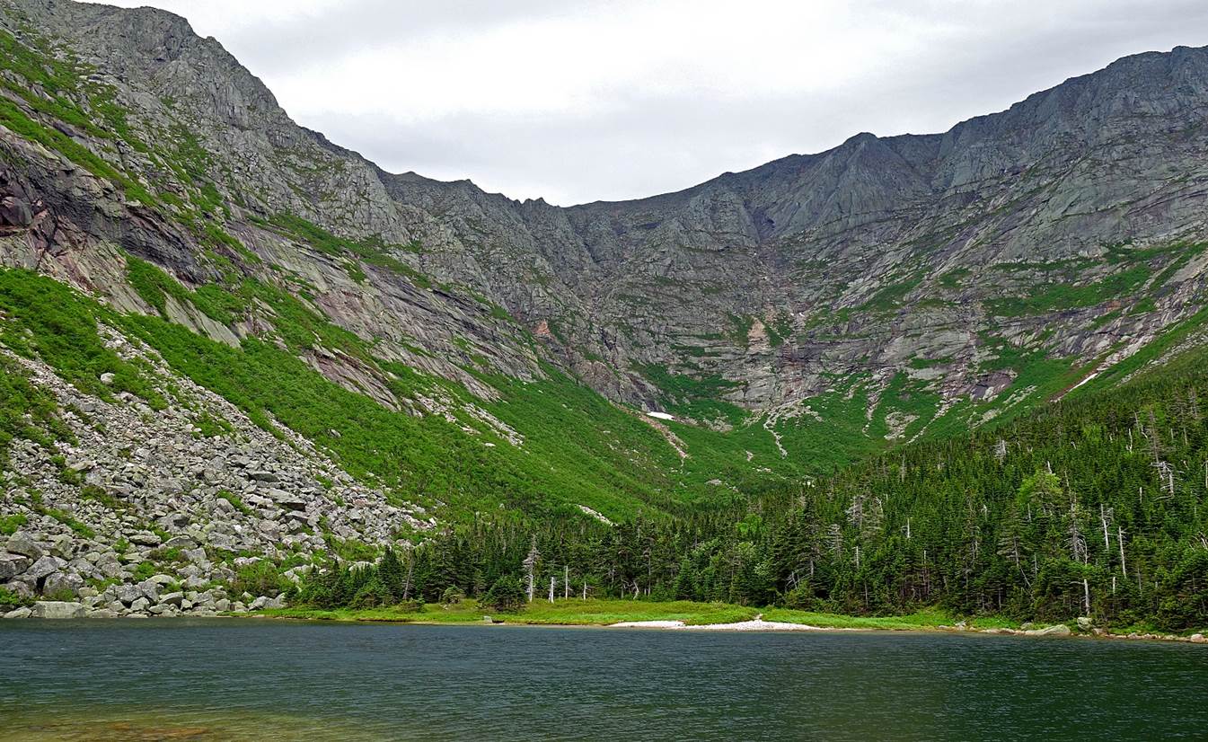
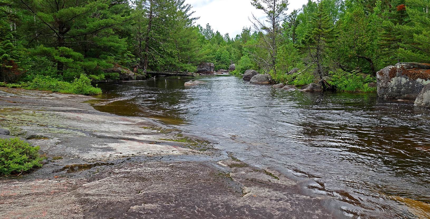
Chimney
Pond Trail:
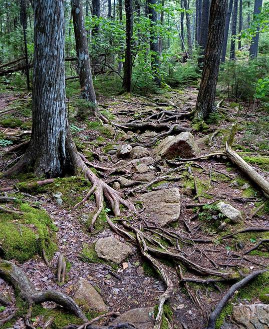
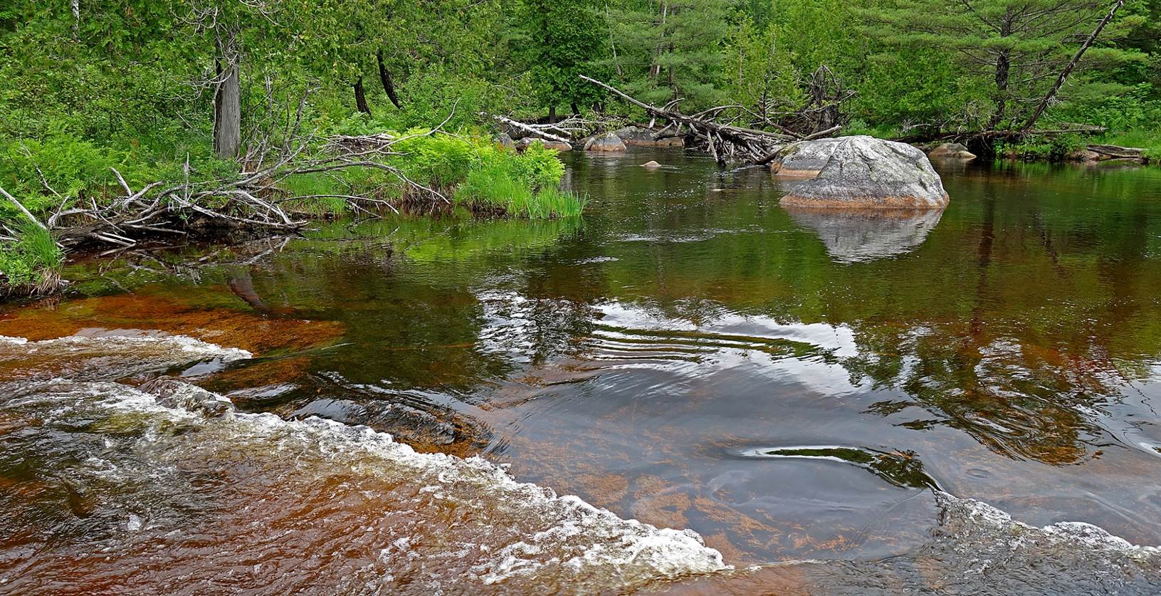
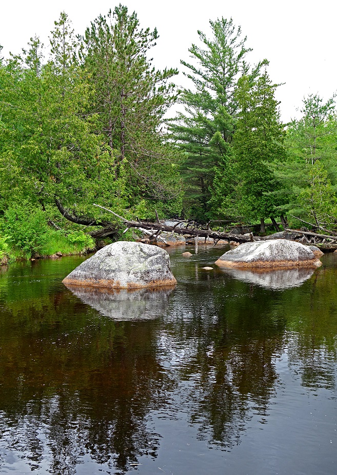
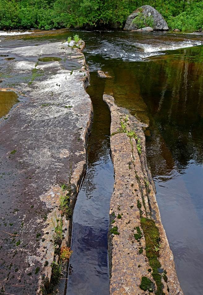
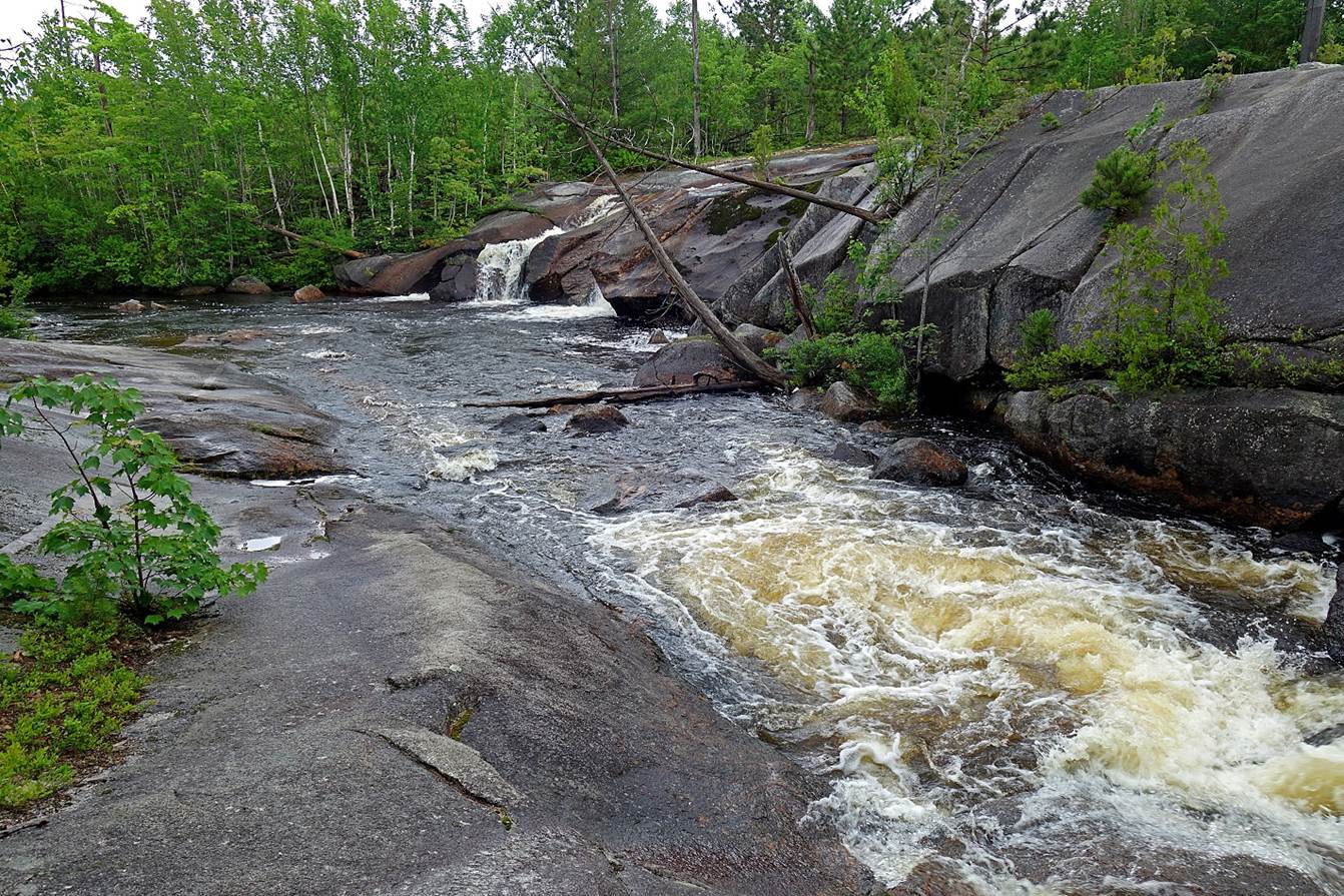
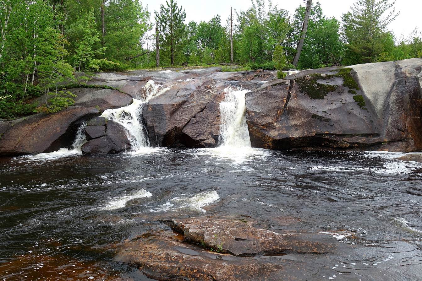
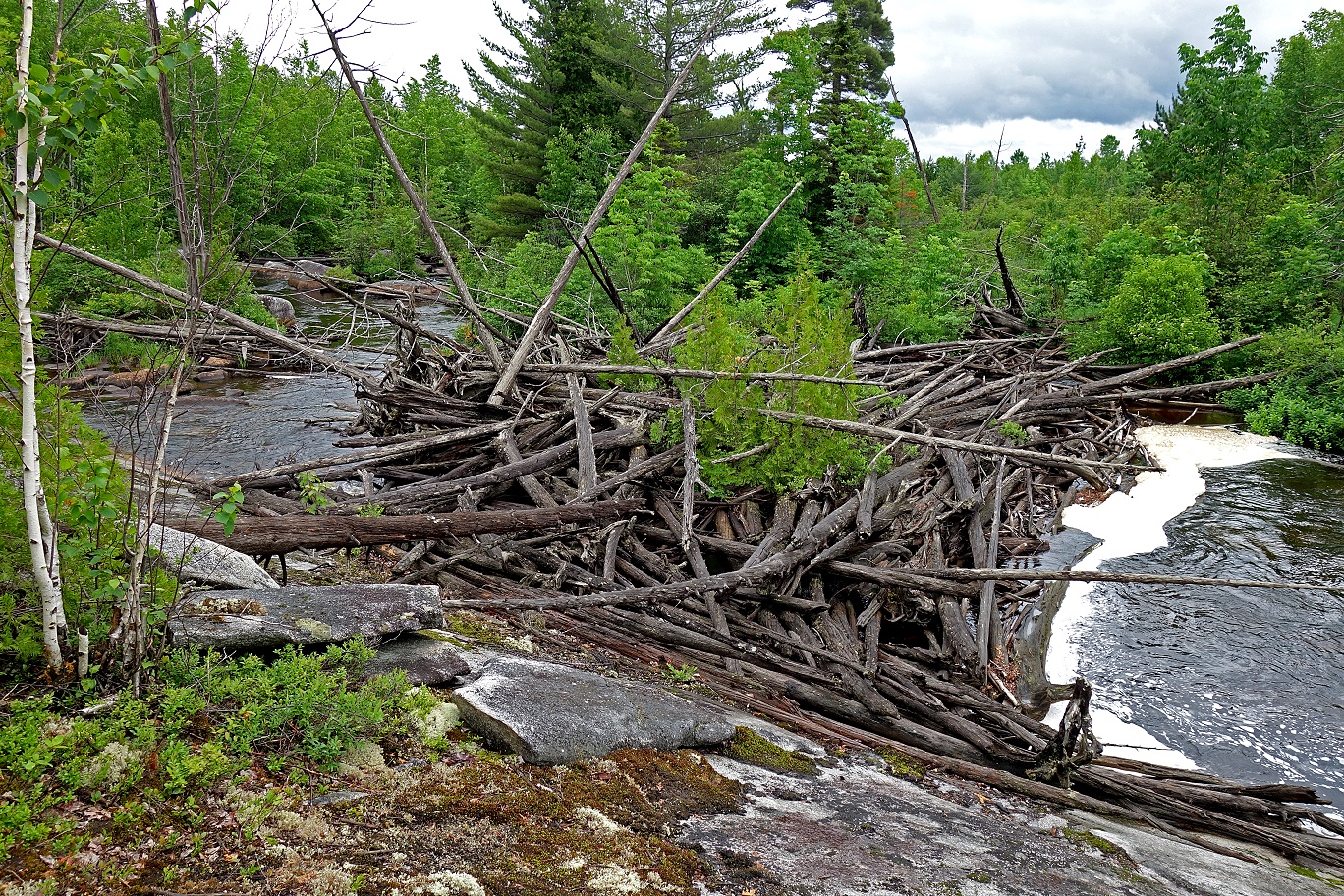
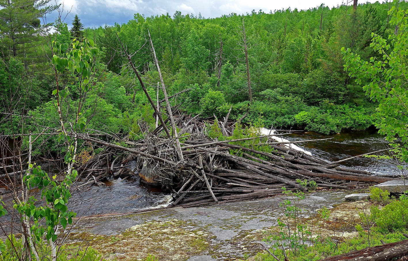
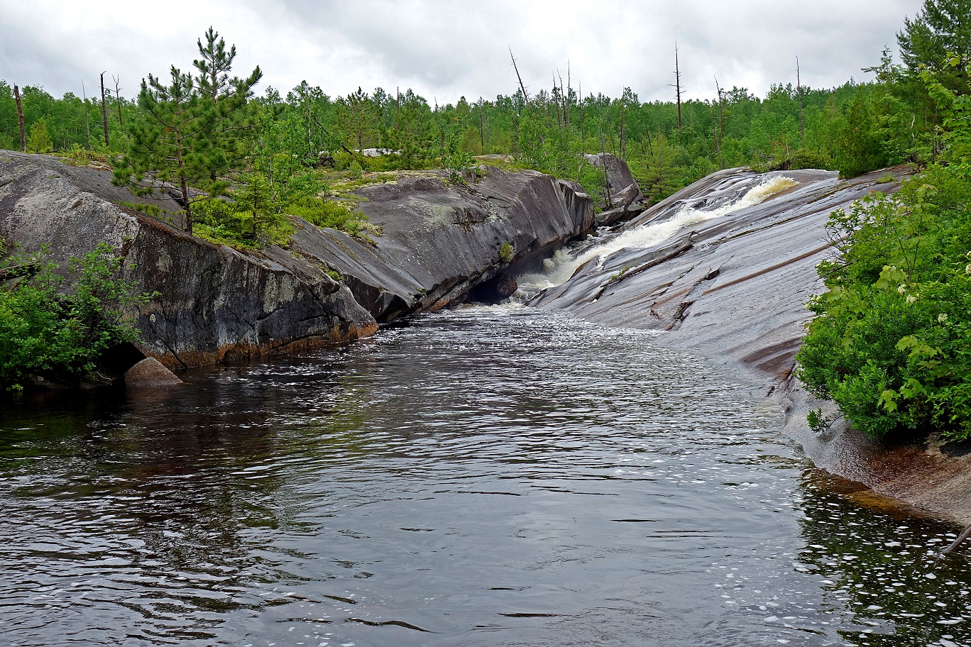
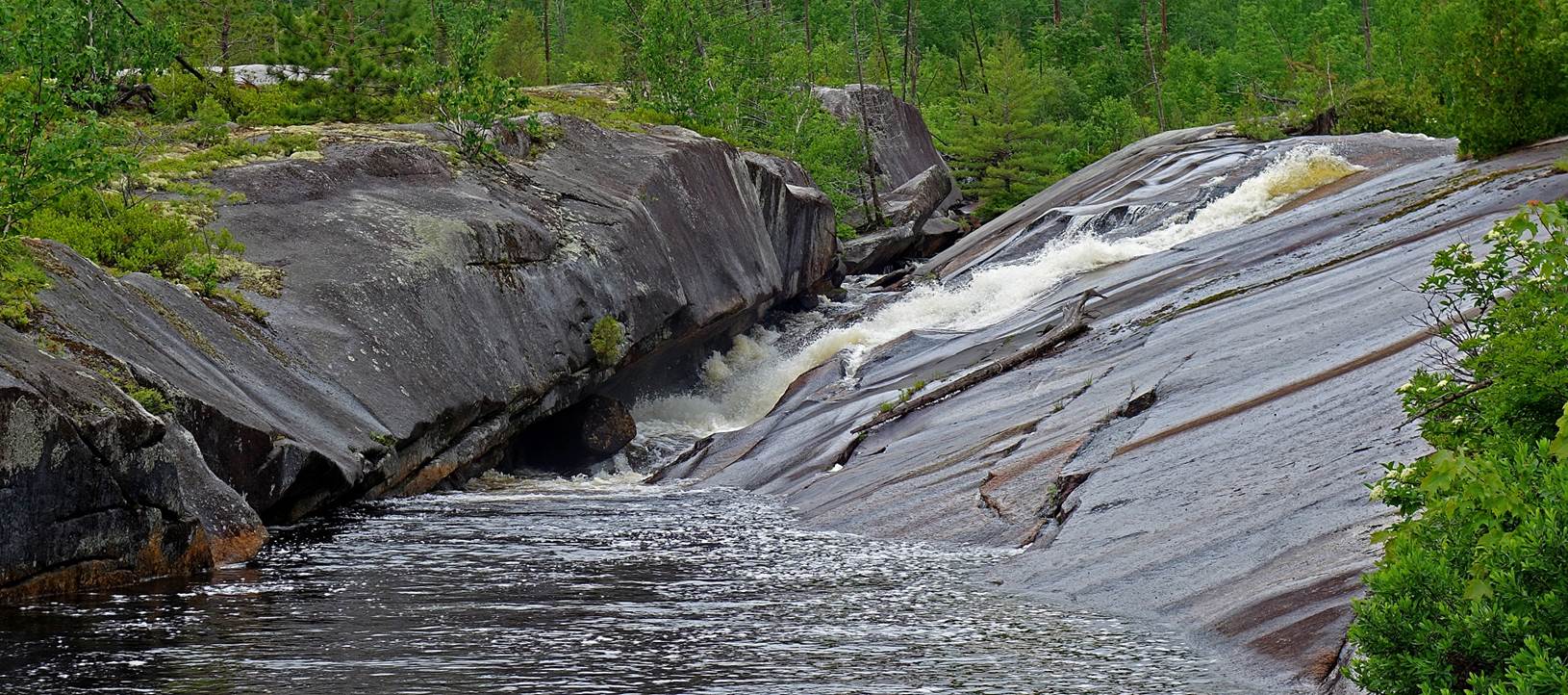
- Roaring Brook.
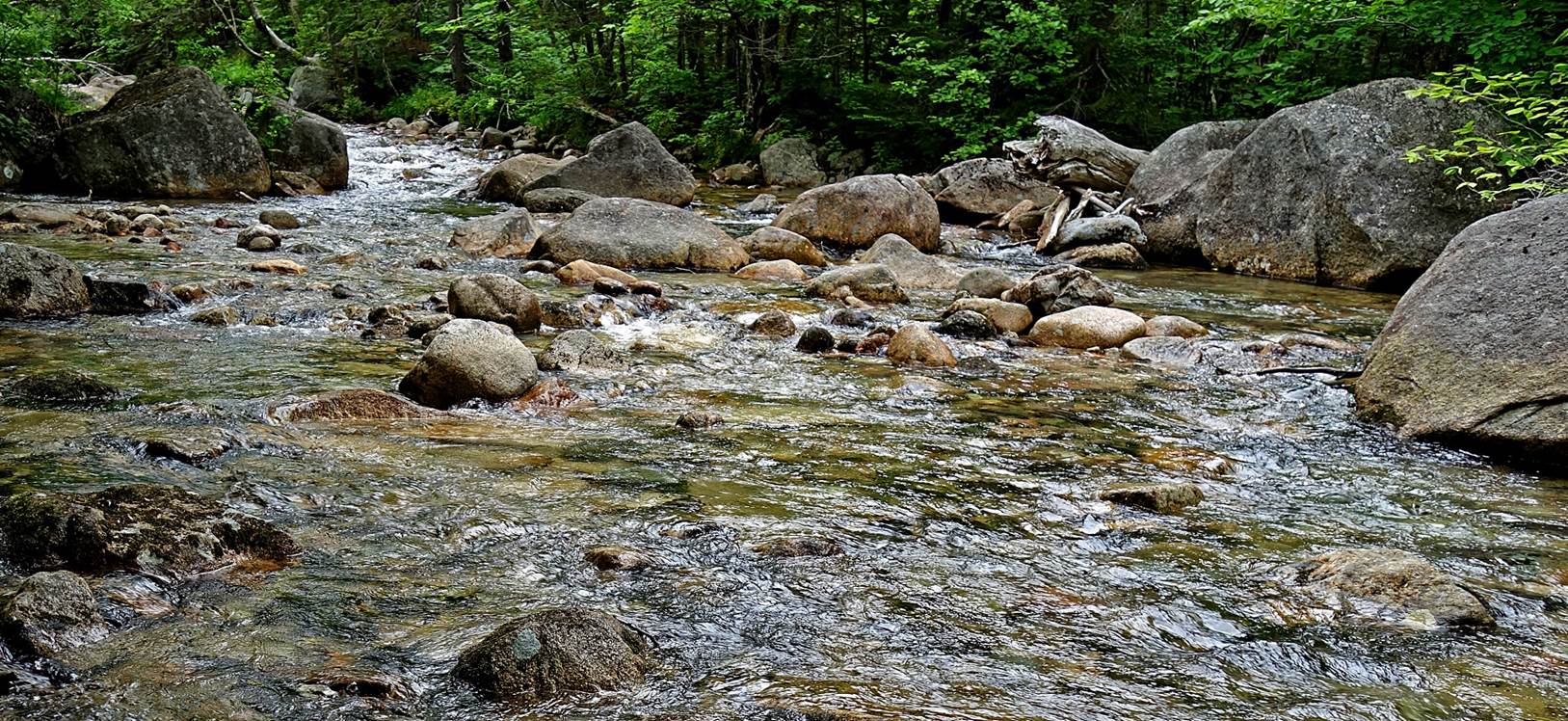
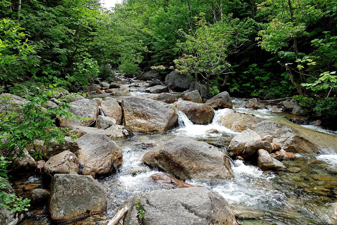
- Small side streams.
|
|
|
- Hamlin (left) and Howe (right) Peaks.
- Same peaks seen from (South) Basin Pond.

- Between Basin Ponds and Chimney Pond.
|
|
|
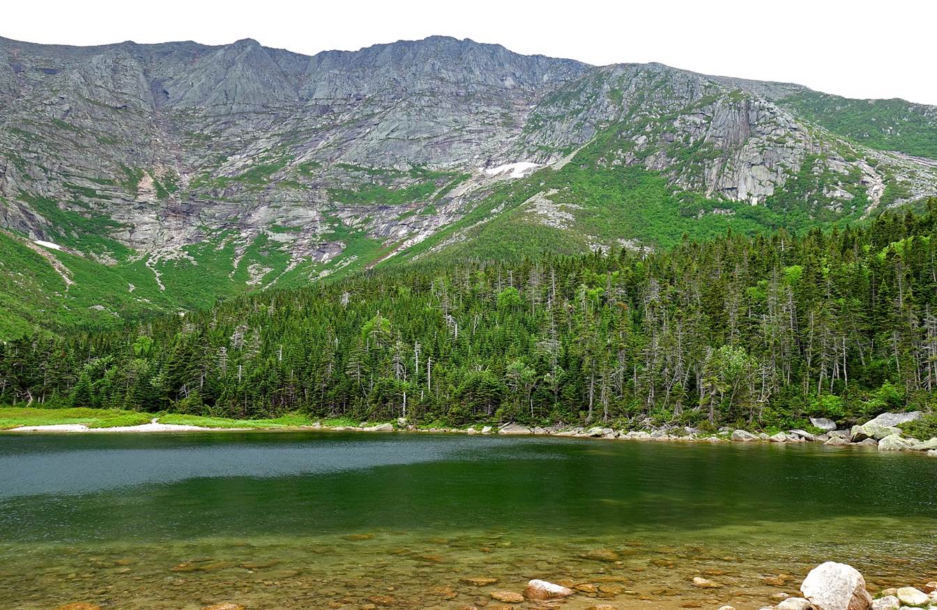
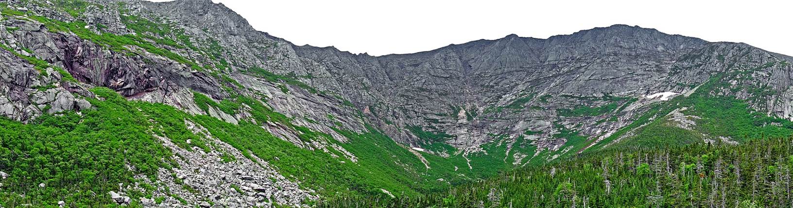
- Views of the Katahdin range and the Knife Edge from Chimney Pond.
Abol Beach to Blueberry
Ledges:
|
|
|
|
|
|
|
|


|
|
|
![]()
Return
to main United States page | Return to my mountaineering/trekking/travel webpage