Hikes
in Almaden Quicksilver County Park (July 2020)
![]()
Return
to main United States page | Return to my mountaineering/trekking/travel webpage
Located at the southwestern end of the
San Francisco Bay Area, the Almaden Quicksilver
County Park is the site of former mercury mining activities (quicksilver is
another name for mercury) from 1847 until 1976. At their peak these mines were
the second most productive mercury mines in the world. Various structures left
over from the 129 years of mining activities dot the present-day park. In
addition, the park boasts a good variety of landscapes, including spectacular
views of the southern portion of the San Francisco Bay, the eastern slopes of
the Santa Cruz Mountains, and the western slopes of the Diablo Range.
Bits of history: Long before the ″discovery″
of this mining potential by outsiders, local Indians (Ohlones)
used to get paint pigment by crushing red blocks extracted from the ground. In
1845, a Mexican soldier, Andreas Castillero (after
whom a trail of the park is named), noticed this activity and identified the
red blocks as cinnabar (mercury ore). As mercury was in high demand in Mexico
to process silver and gold, he claimed the site and mining began in 1847, a
couple of years before the California Gold Rush, which in turn became a large
consumer of mercury. In 1850 California joined the United States as a new
state. In 1863 the Supreme Court of the US declared that the Castillero claim was fraudulent, which led President
Lincoln to order the local US Marshal to take possession of the mine for the
United States. However, he soon retracted this order after recognizing that it
could scare other mine owners and encourage California to secede from the
Union.
Map, with hiked trails marked with red
dotted lines.
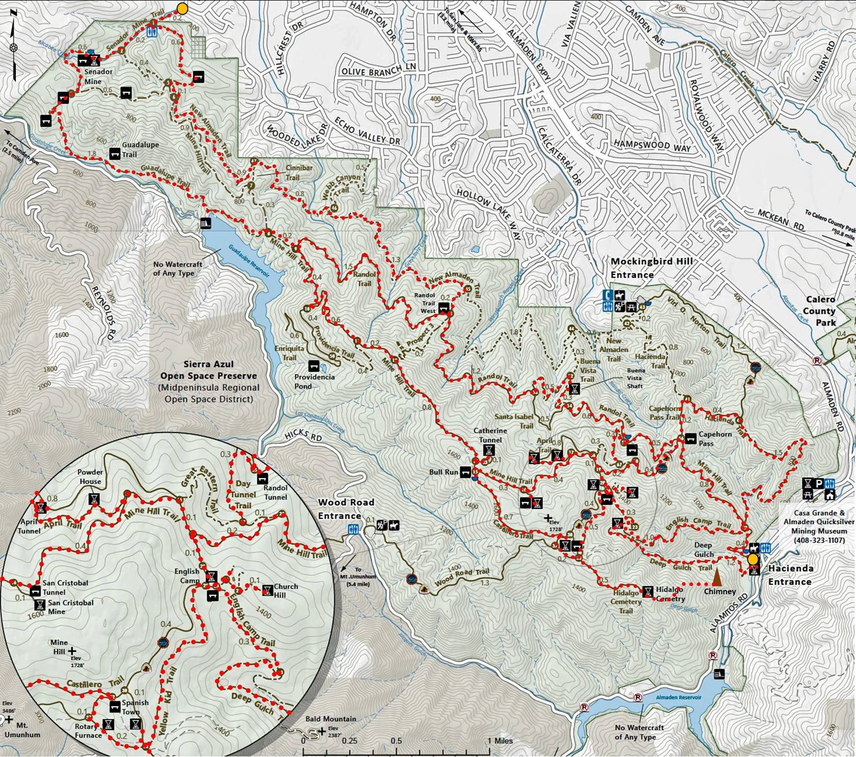
[Source: https://www.sccgov.org/sites/parks/parkfinder/Documents/Almaden%20Quicksilver%20Guide%20Map.pdf.]
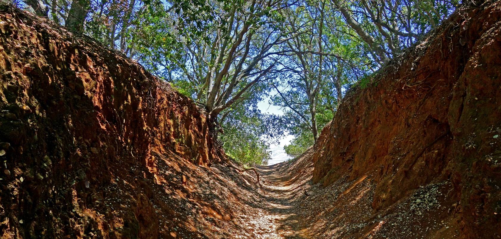
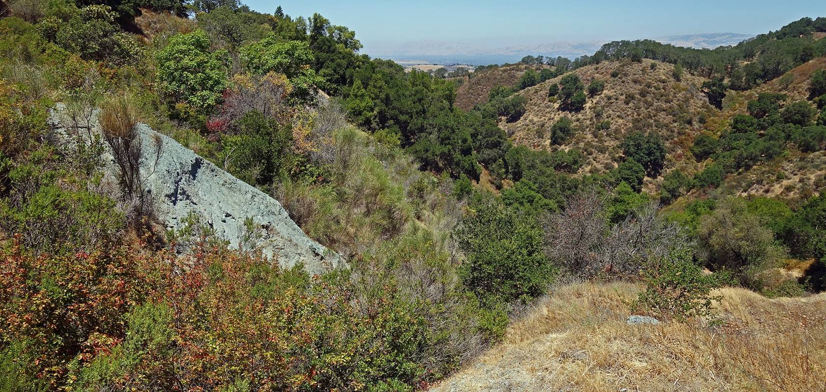
Left: start of Deep Gulch Trail near the park′s
Hacienda Entrance. Right: along Deep Gulch Trail.
|
|
|
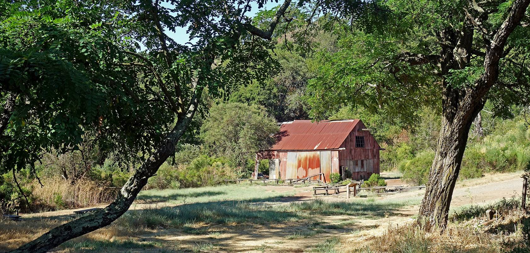
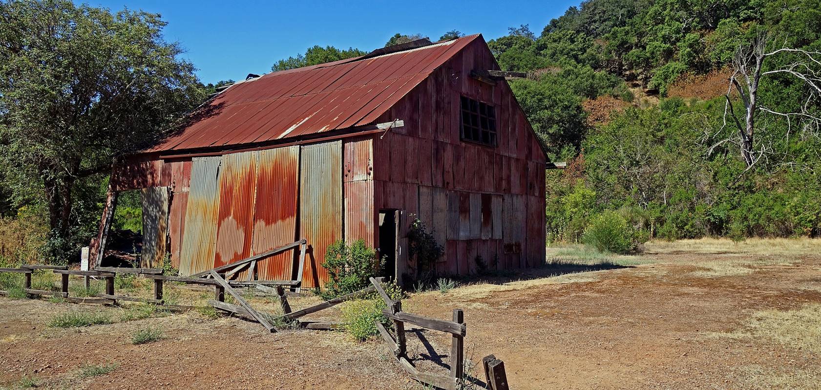
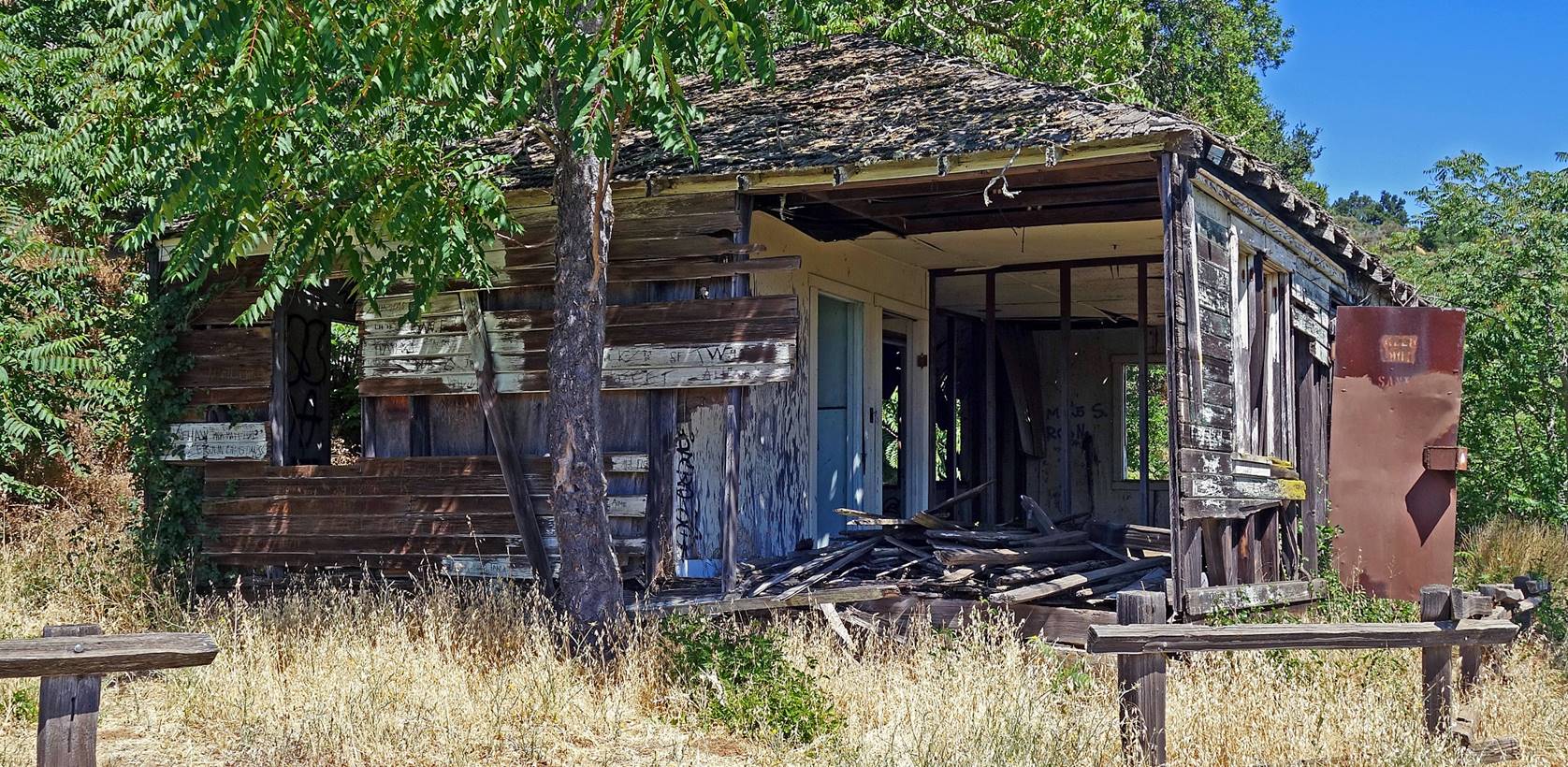
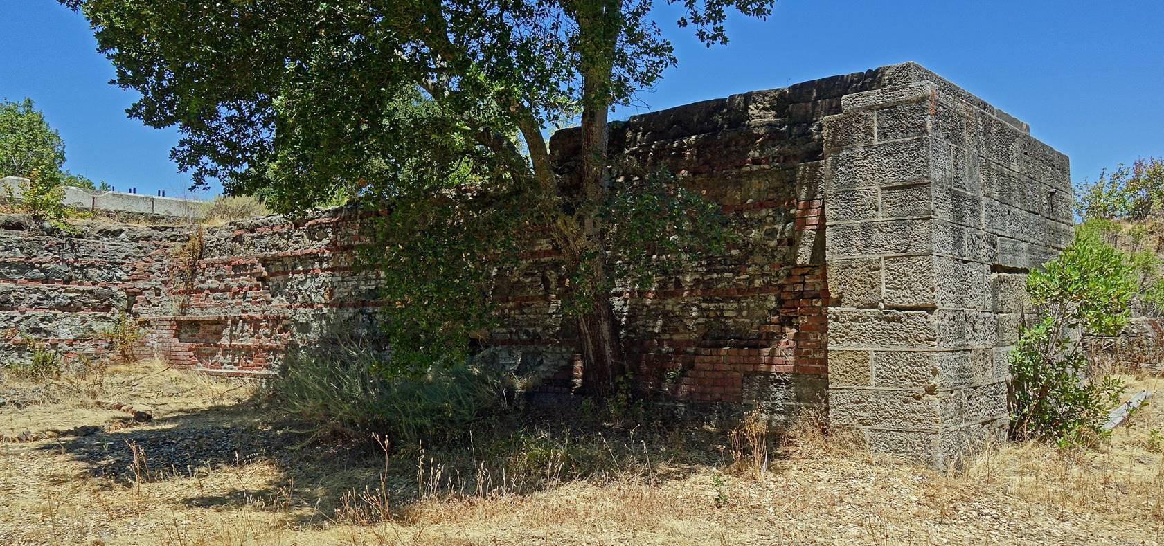
Left-over structures at English Camp.
Established in 1860 by immigrant Cornish miners, this camp was the largest
settlement of miners and their families. [See here
for another place in North America (in the State of Hidalgo, Mexico) where
Cornish miners made an even bigger impact.]
|
|
|
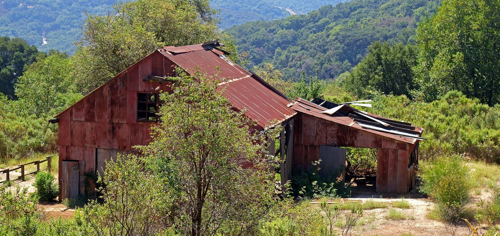
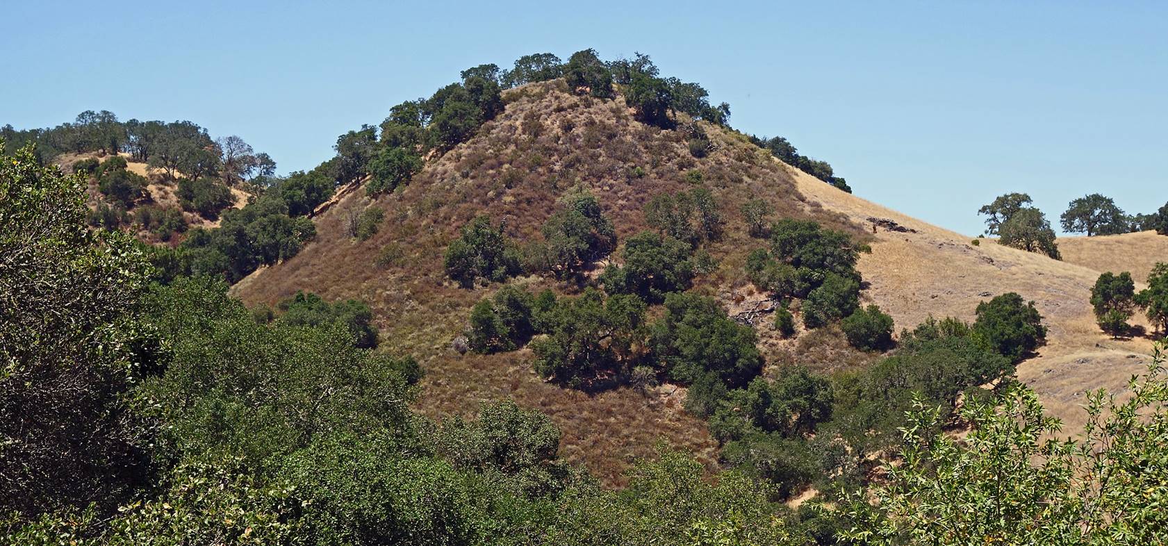
On Church Hill above English Camp.
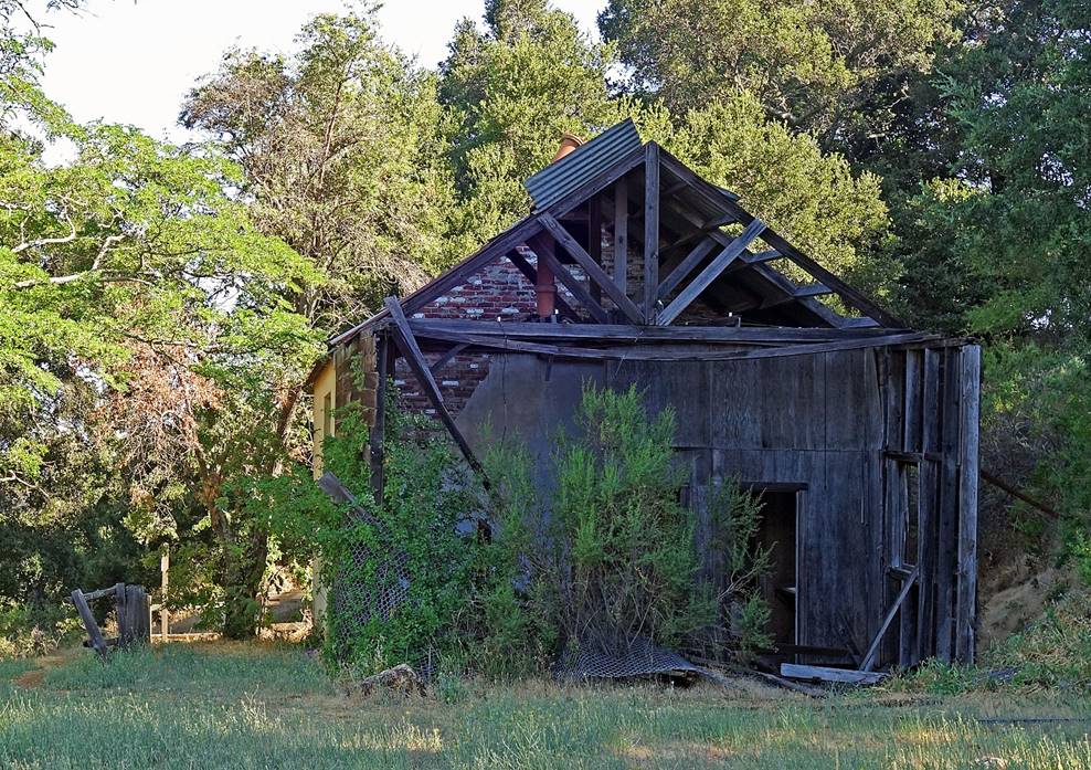
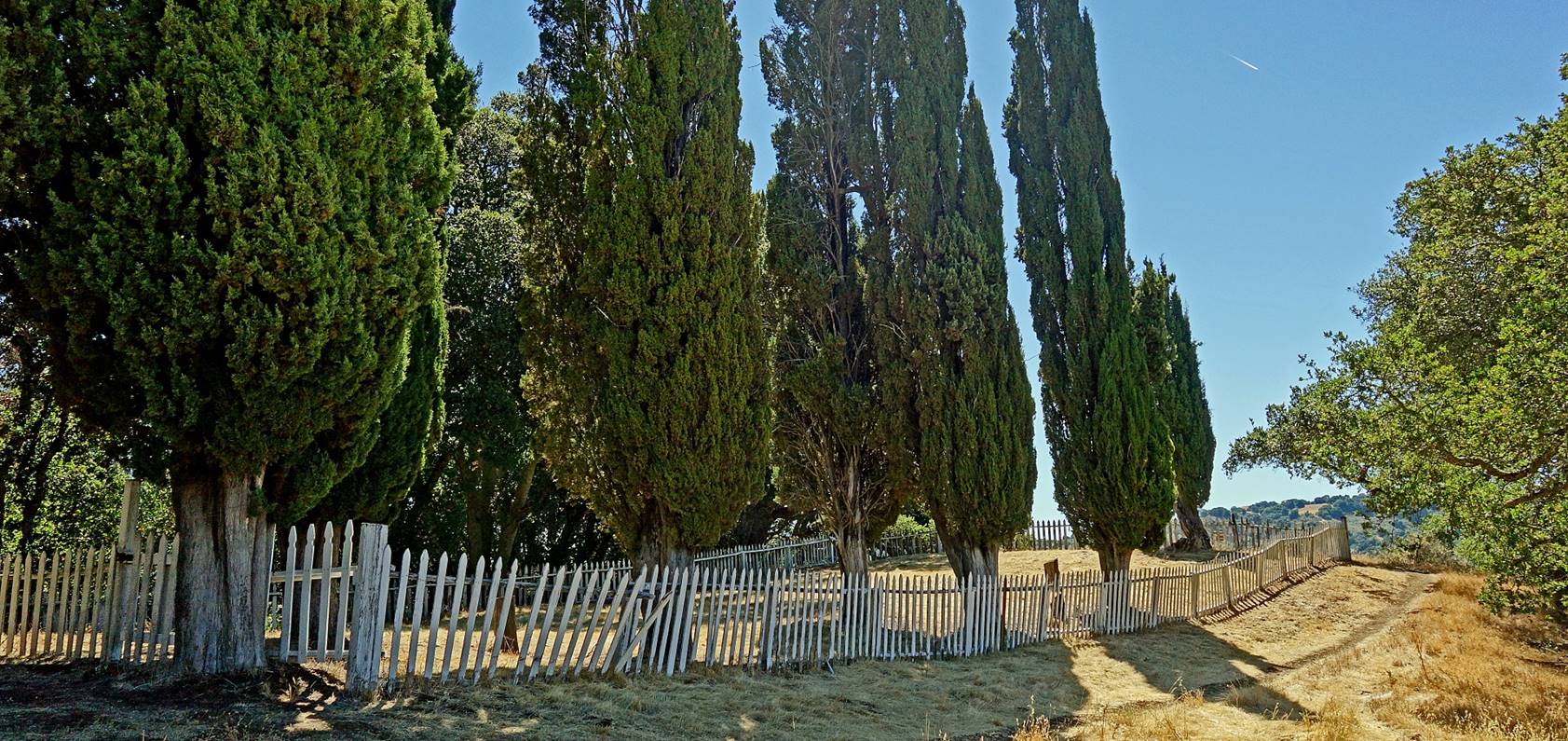
Structure at Spanish Town next to
Hidalgo Cemetery Trail.
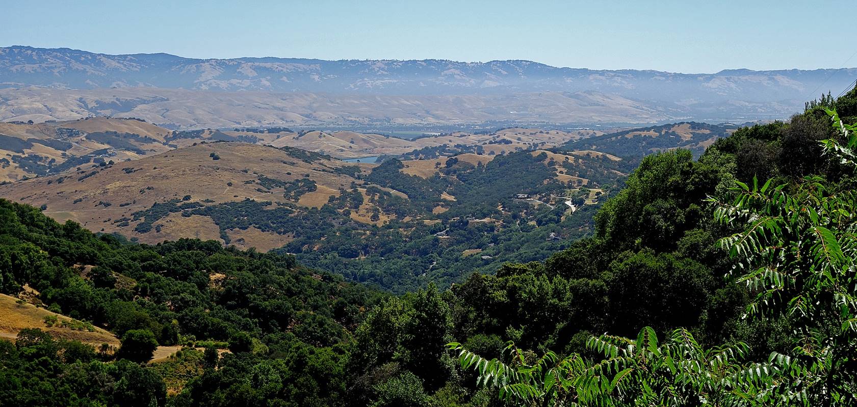
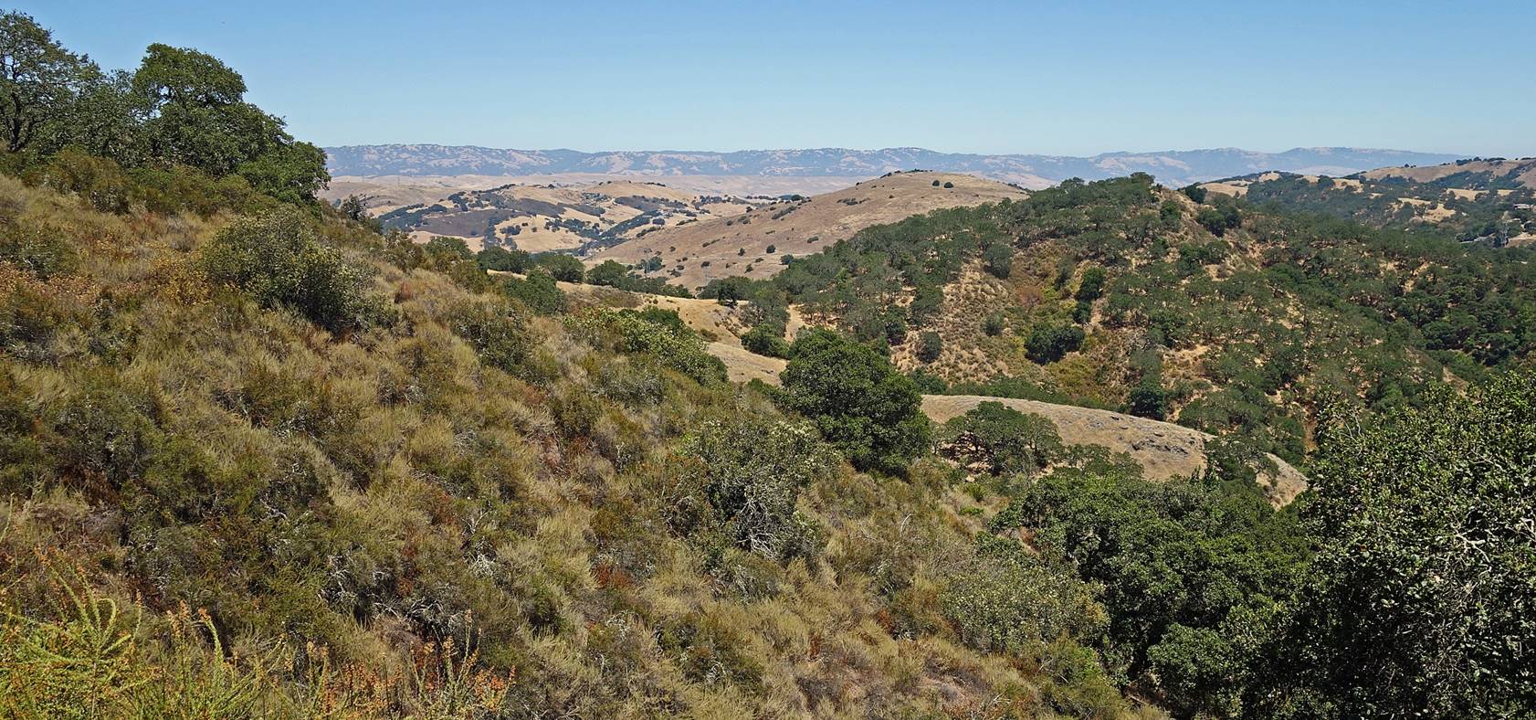
View toward the southeast from Spanish
Town with the Diablo mountain range in the background.
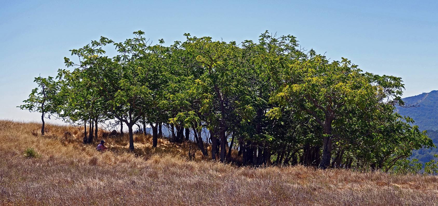
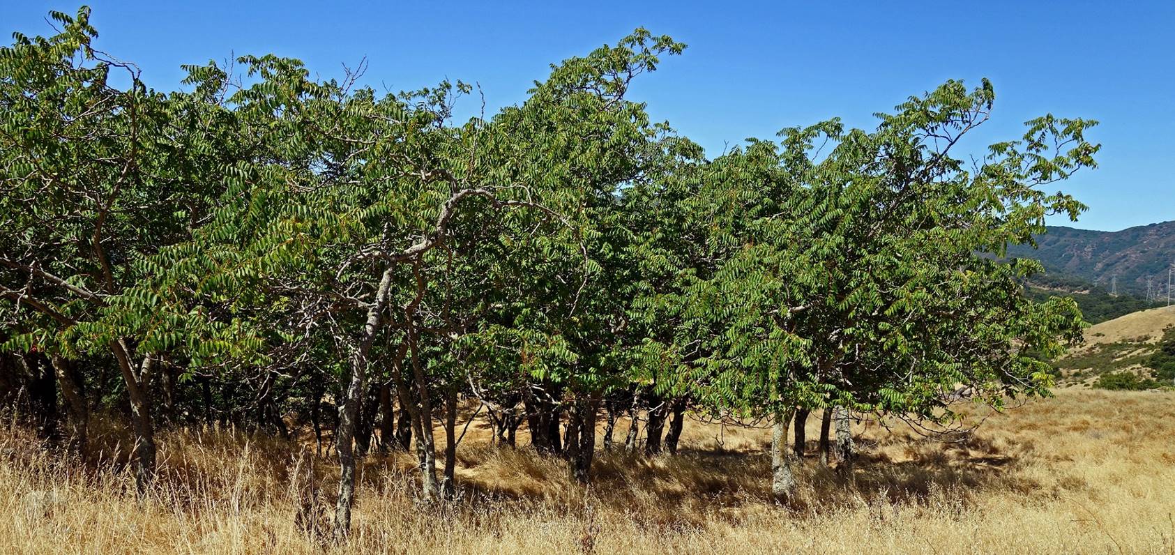
Grove of black walnut trees alongside
Hidalgo Cemetery Trail toward Hidalgo Cemetery, below Spanish Town.
Hidalgo Cemetery Trail.
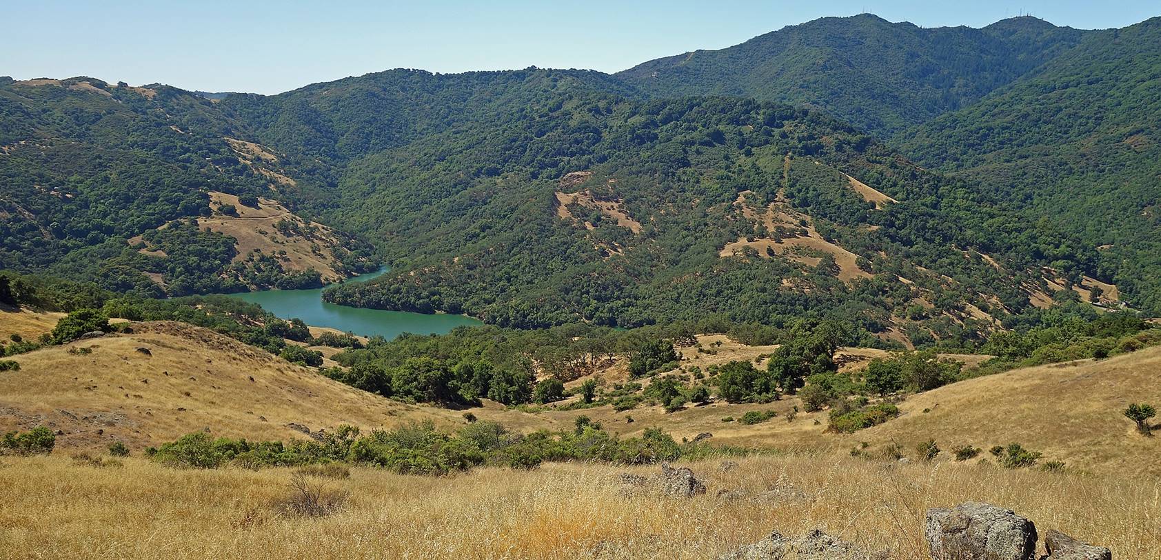
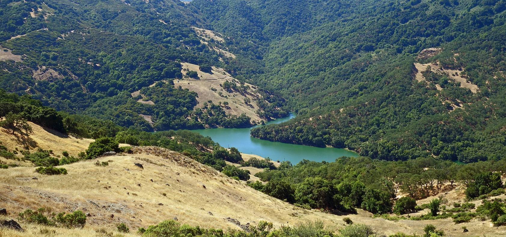
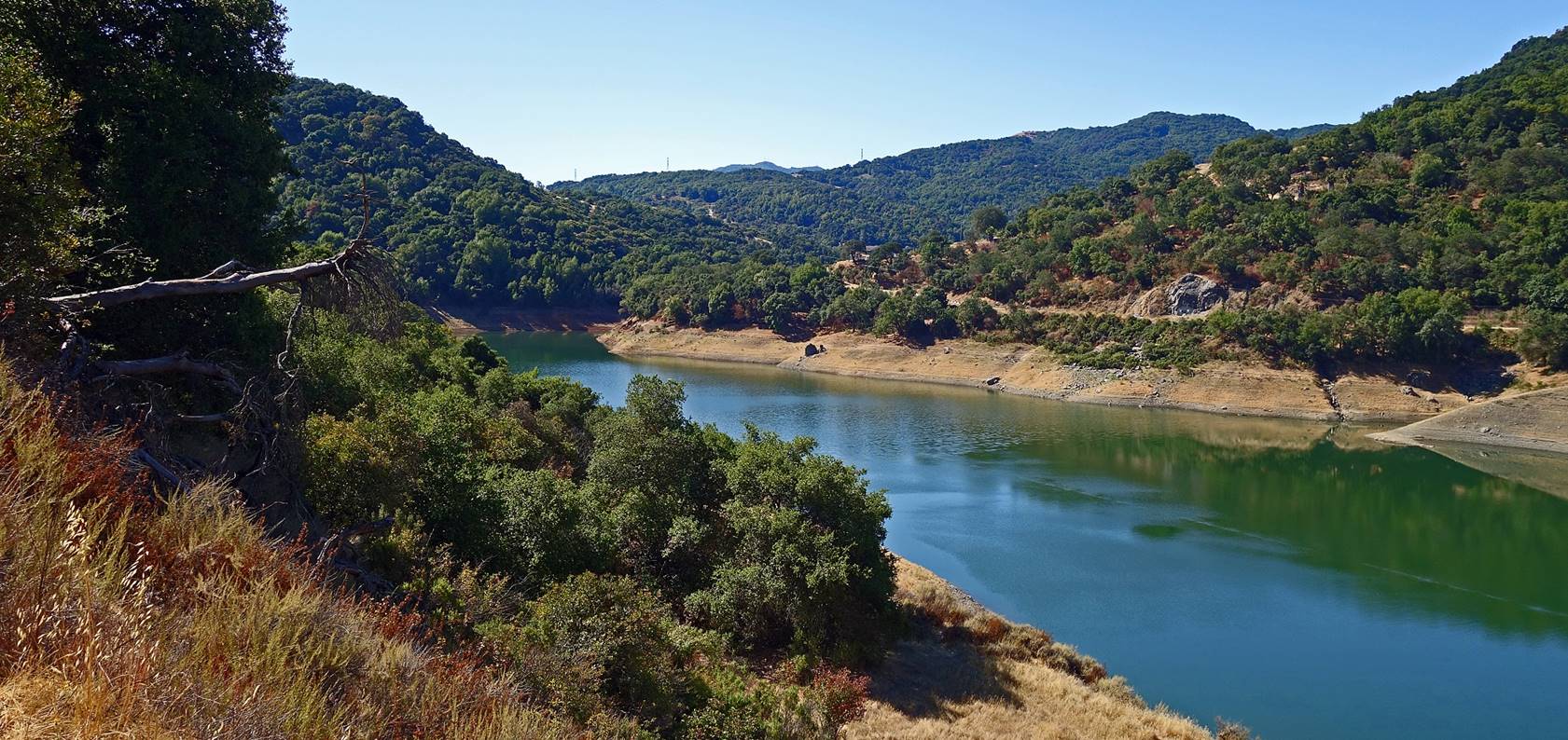
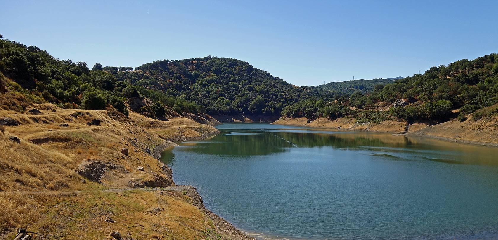
Views over Almaden
Reservoir from Hidalgo Cemetery Trail.
Site of Hidalgo Cemetery.

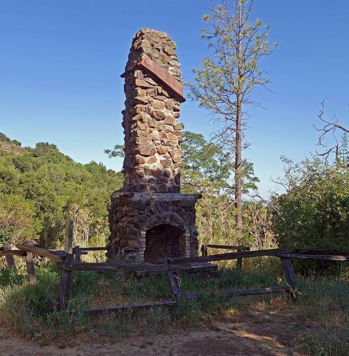
Trail below Hidalgo Cemetery leading to
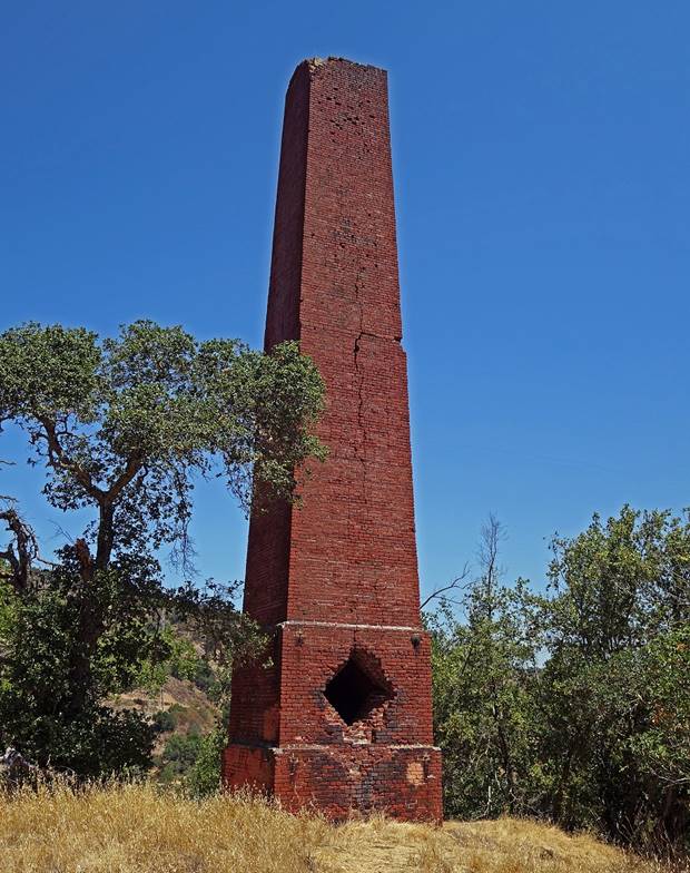
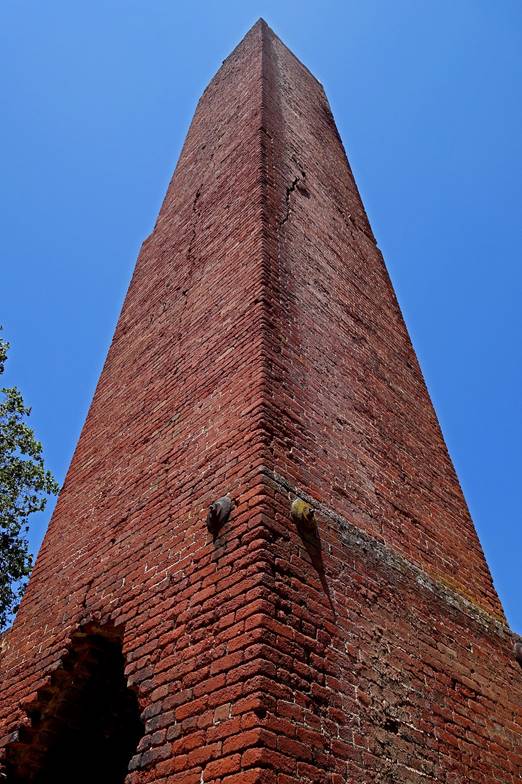
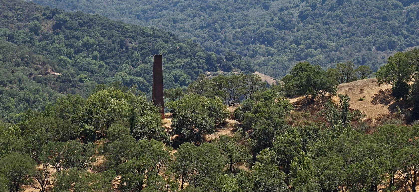
a tall chimney (following photos).
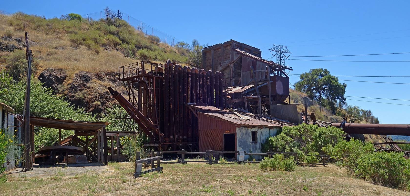
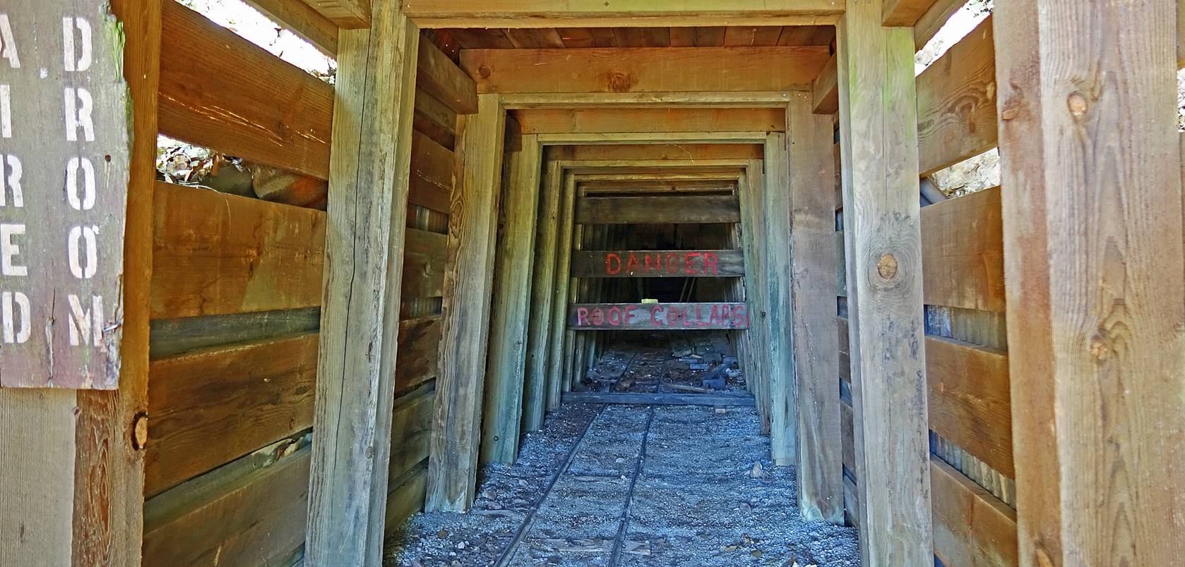
Tall chimney below Hidalgo Cemetery. The
chimney released dangerous sulfuric gases high in the air, which were generated
by the cinnabar reduction furnaces operating below next to the present-day
Hacienda Entrance of the park.
|
|
|
|
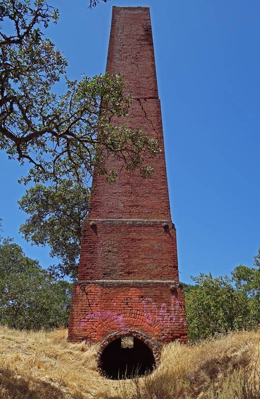
The tall chimney seen from English Camp
Trail.
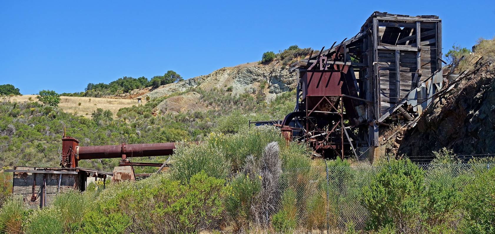
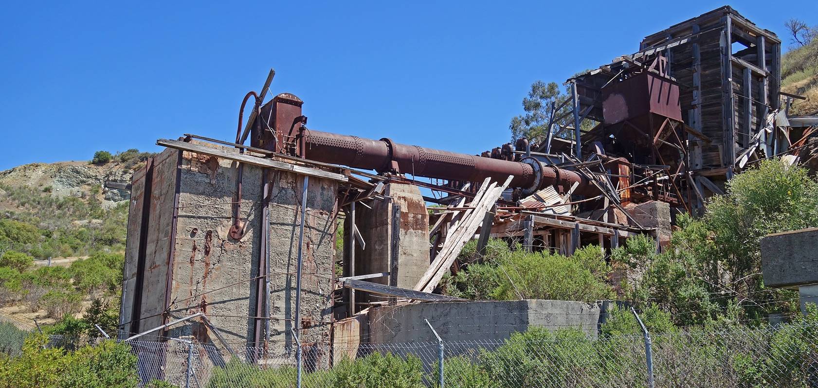
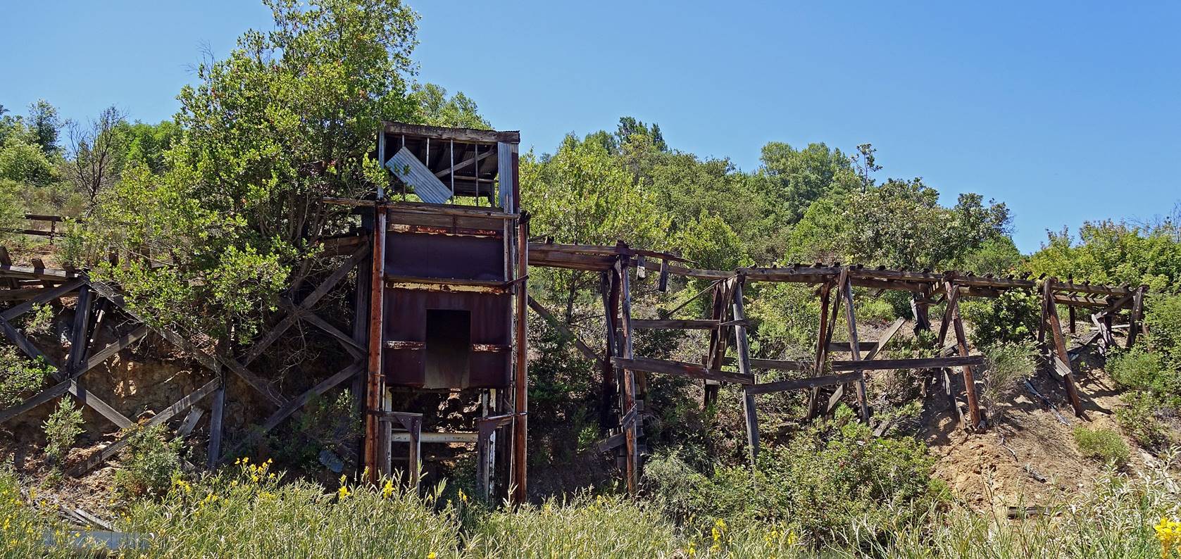
Remains of a rotary furnace installed in
1940 and used until 1976 at the junction of Yellow Kid and Wood Road Trails.
The third picture below shows the large condenser pipes that cooled into liquid
mercury the vapors generated by heating the crushed ore (cinnabars). The late
construction of this ″modern″ furnace was motivated by the need for
mercury in munitions to be used in WW II.
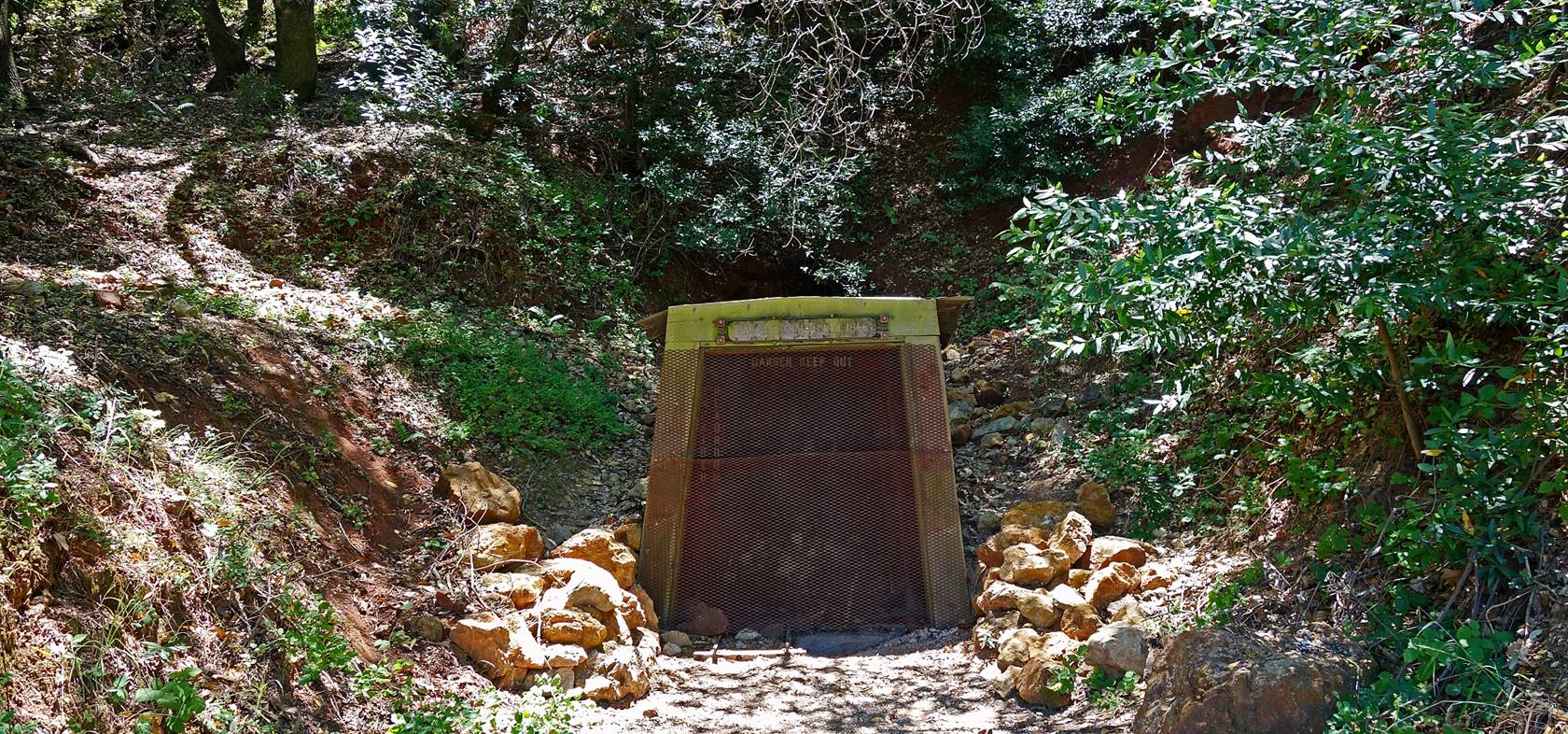
San Cristobal Tunnel, near the
intersection of Mine Hill and Castillero Trails.
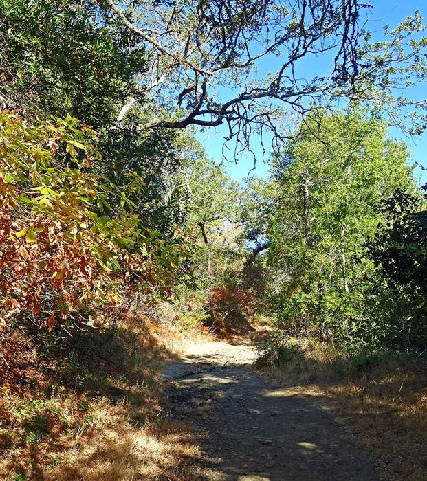
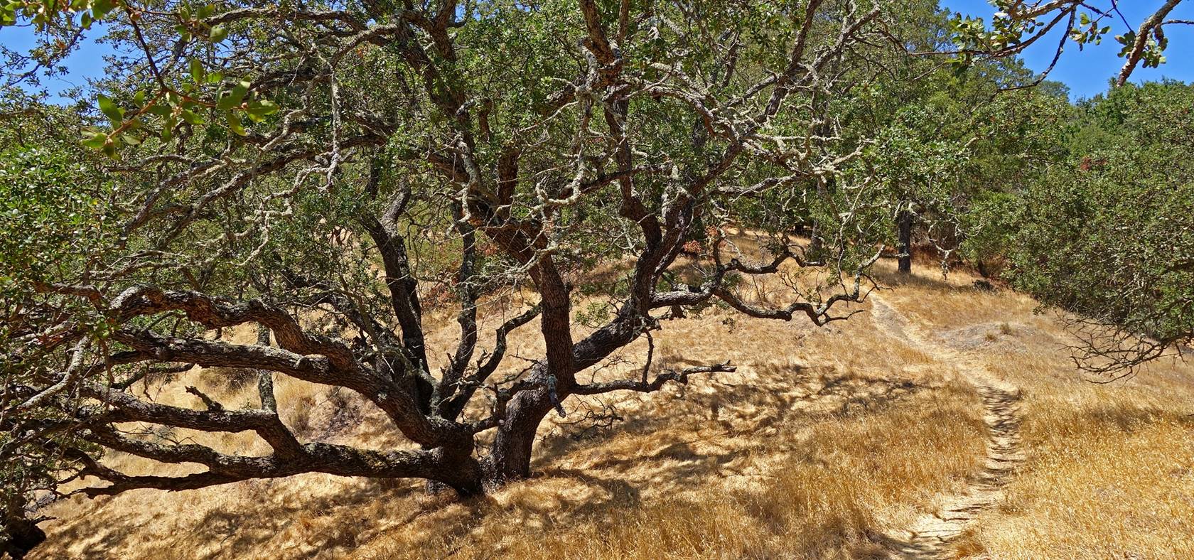
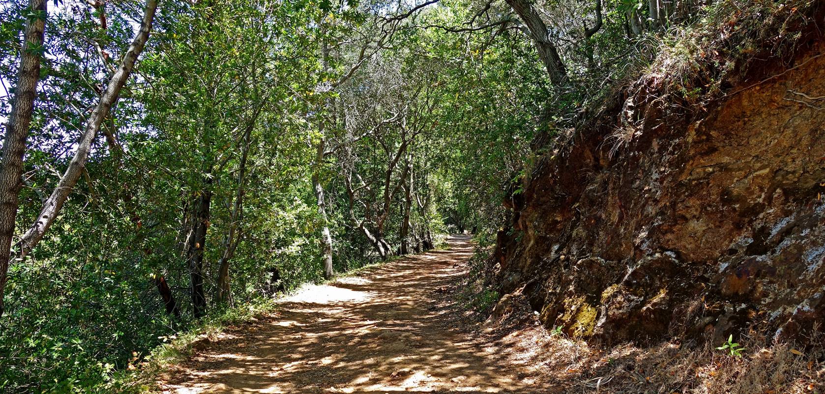
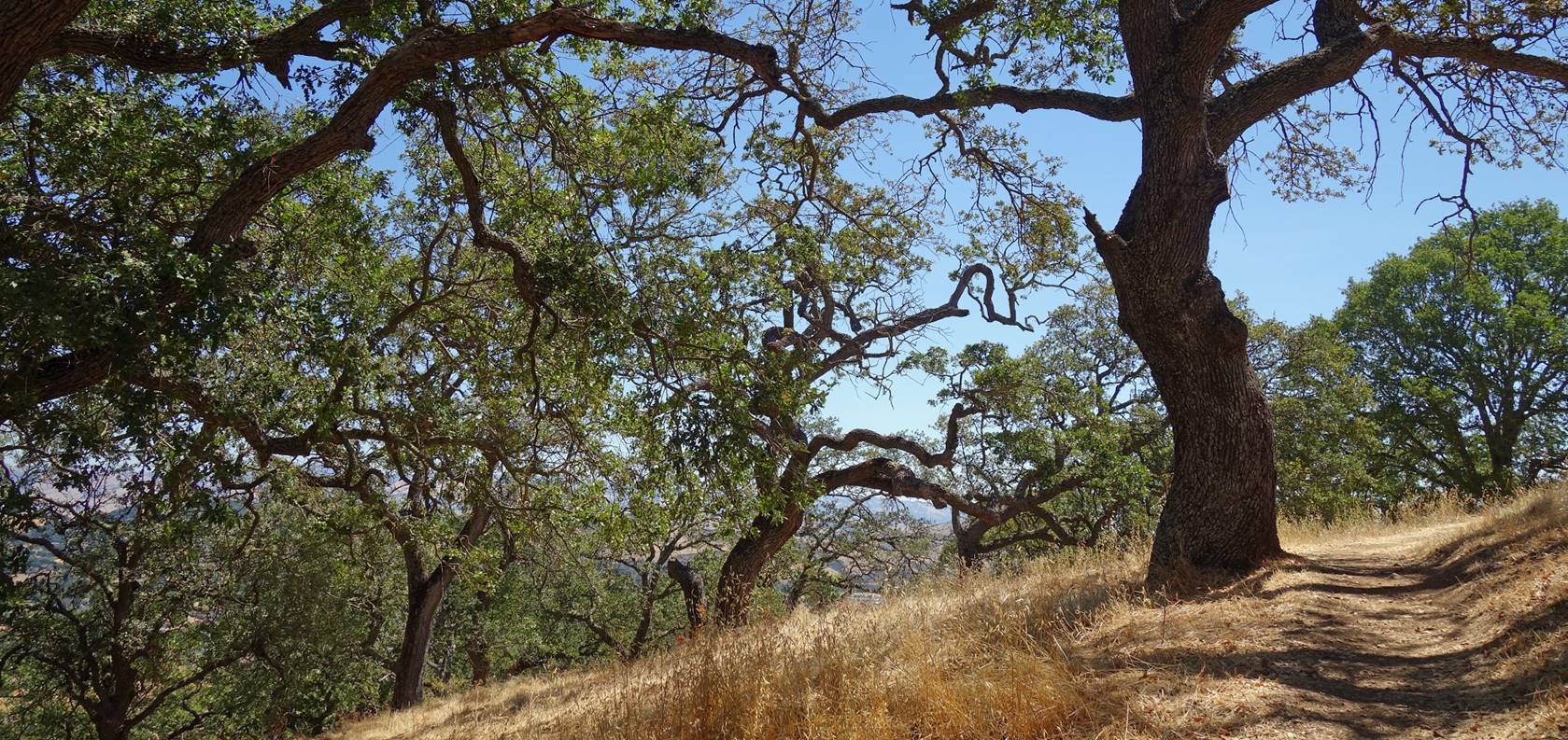
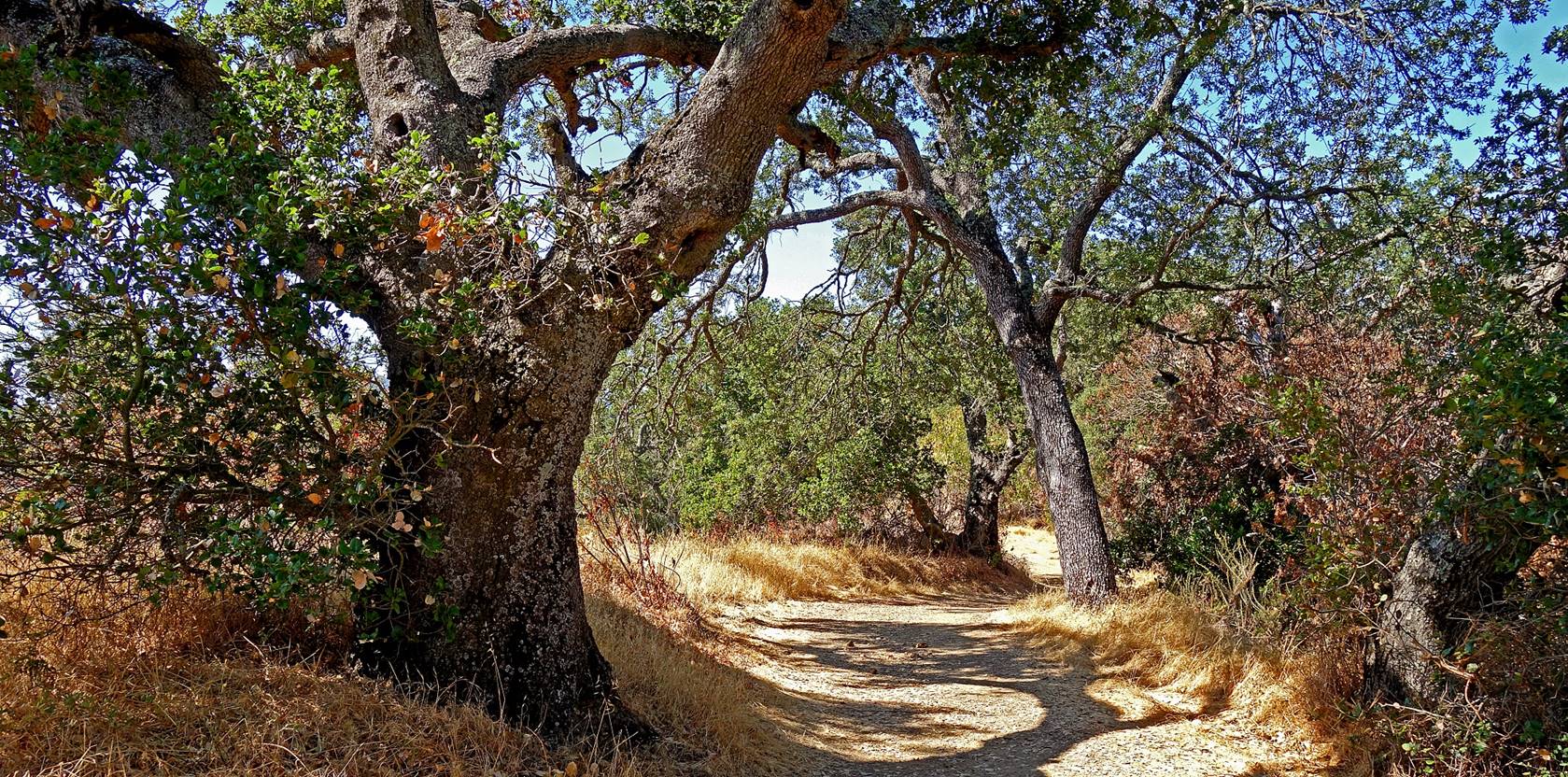
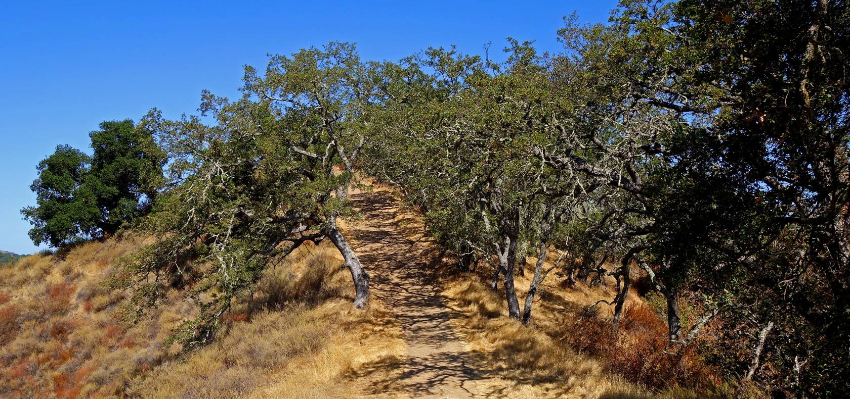
Shady section of Mine Hill Trail between
its junctions with Castillero and April Trails.
Chute and railroad trestle outside April
Tunnel.

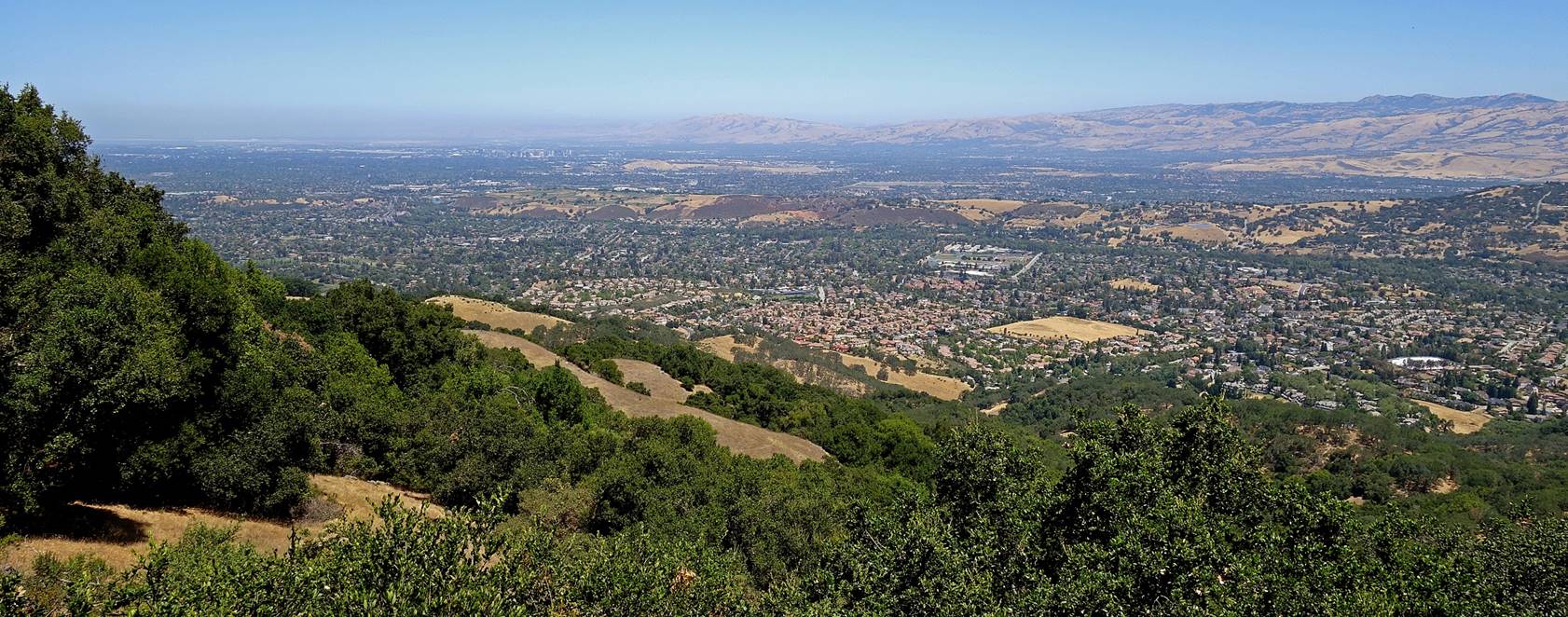
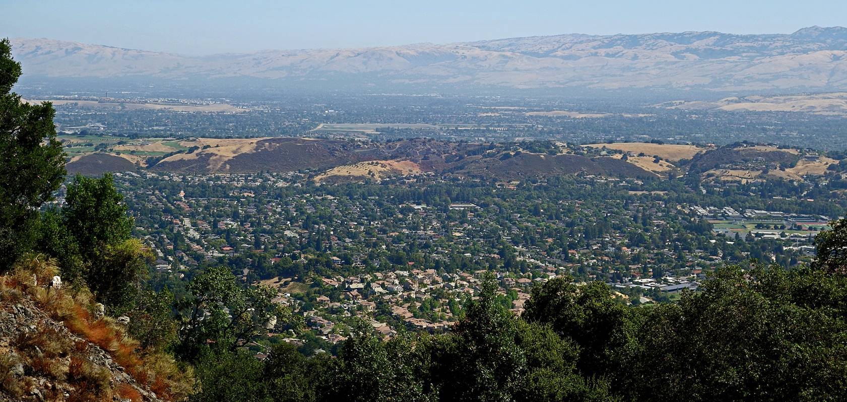
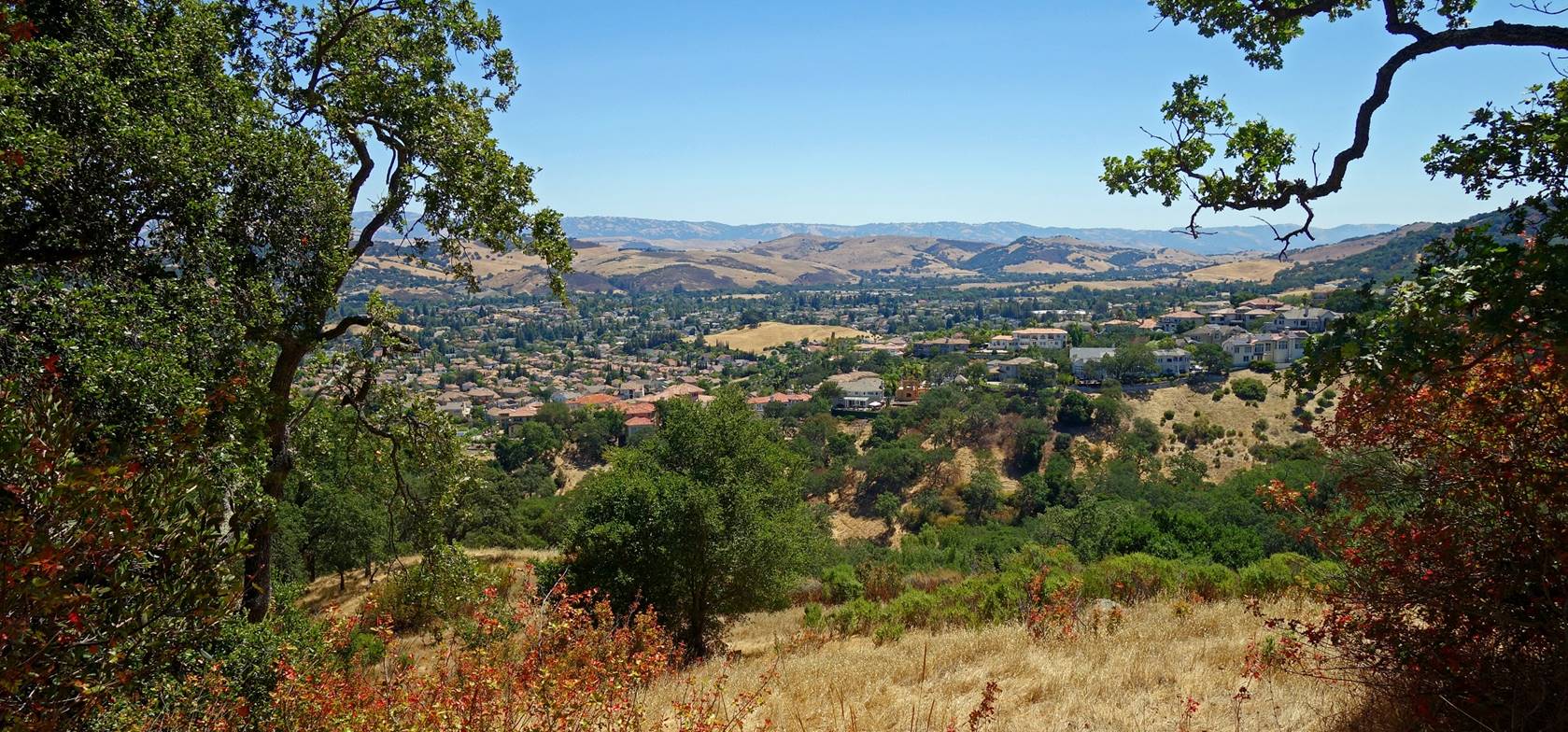
View over South San Jose from April
Trail.
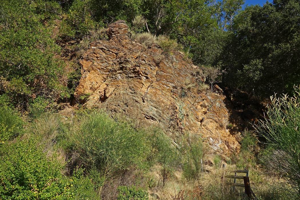
Collapsed Catherine Tunnel, near the
junction of Castillero and Mine Hill Trails.
View over the southern part of the San
Francisco Bay Area from Catherine Tunnel.
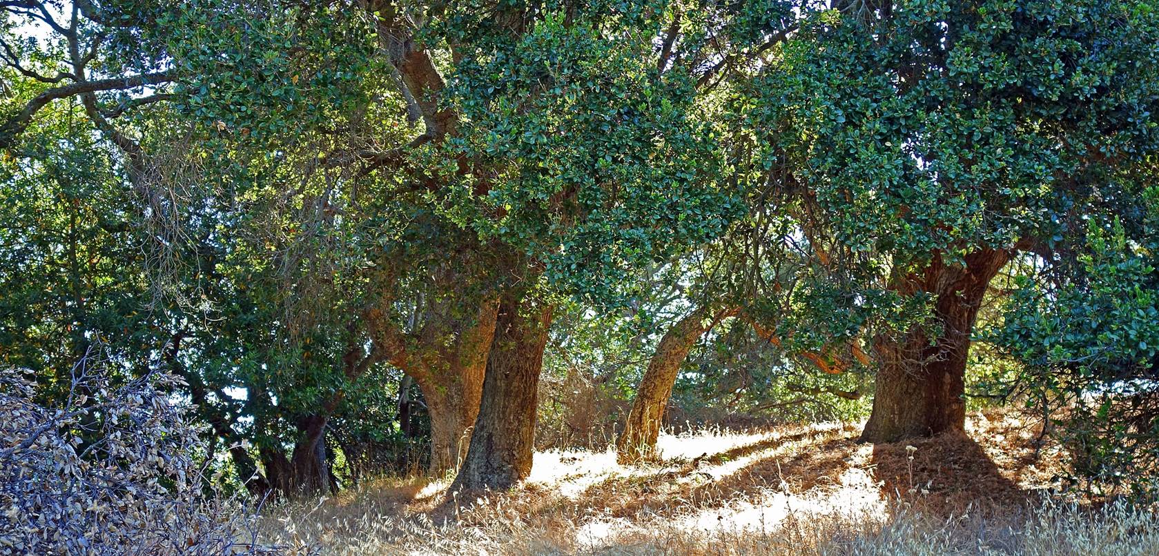
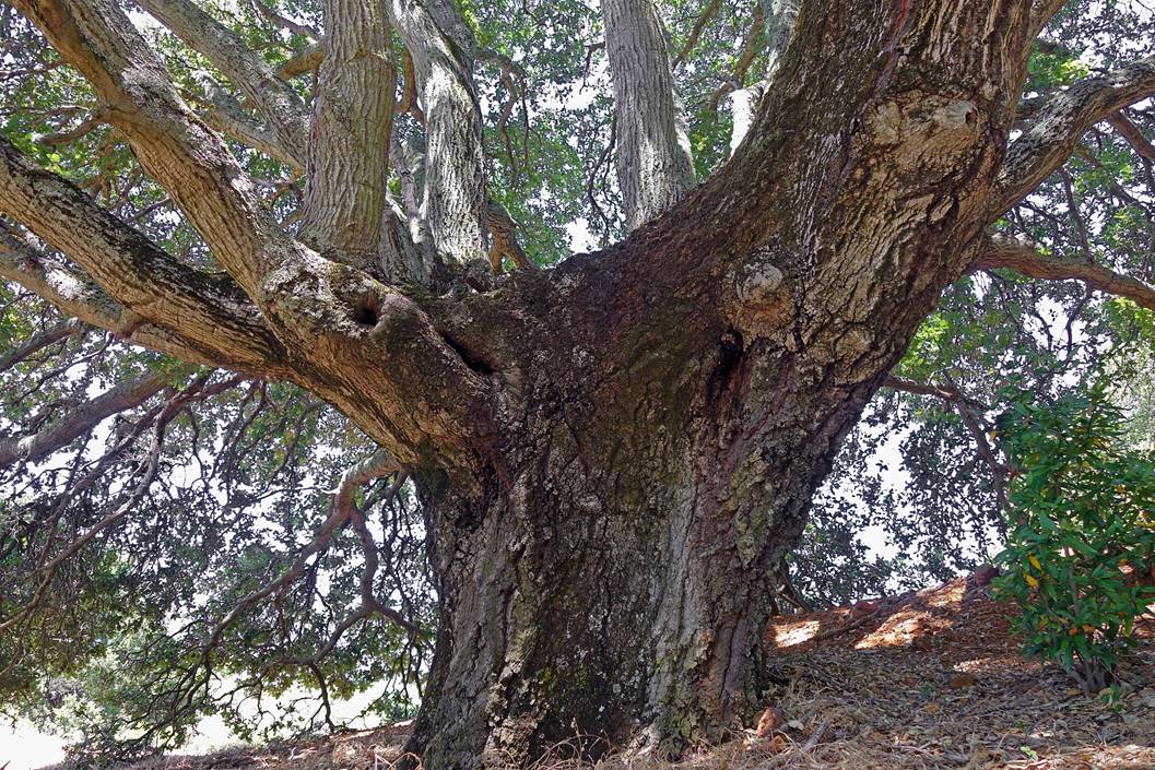
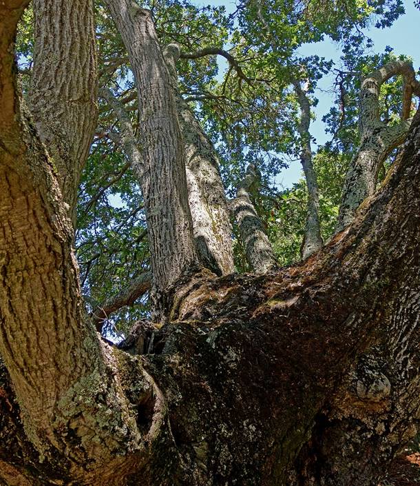
Trees next to Catherine Tunnel.
|
|
|
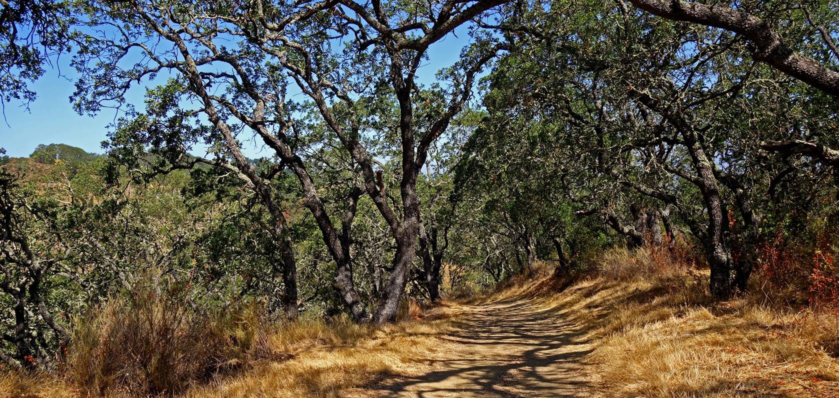
Along Mine Hill Trail northwest of
Catherine Tunnel.
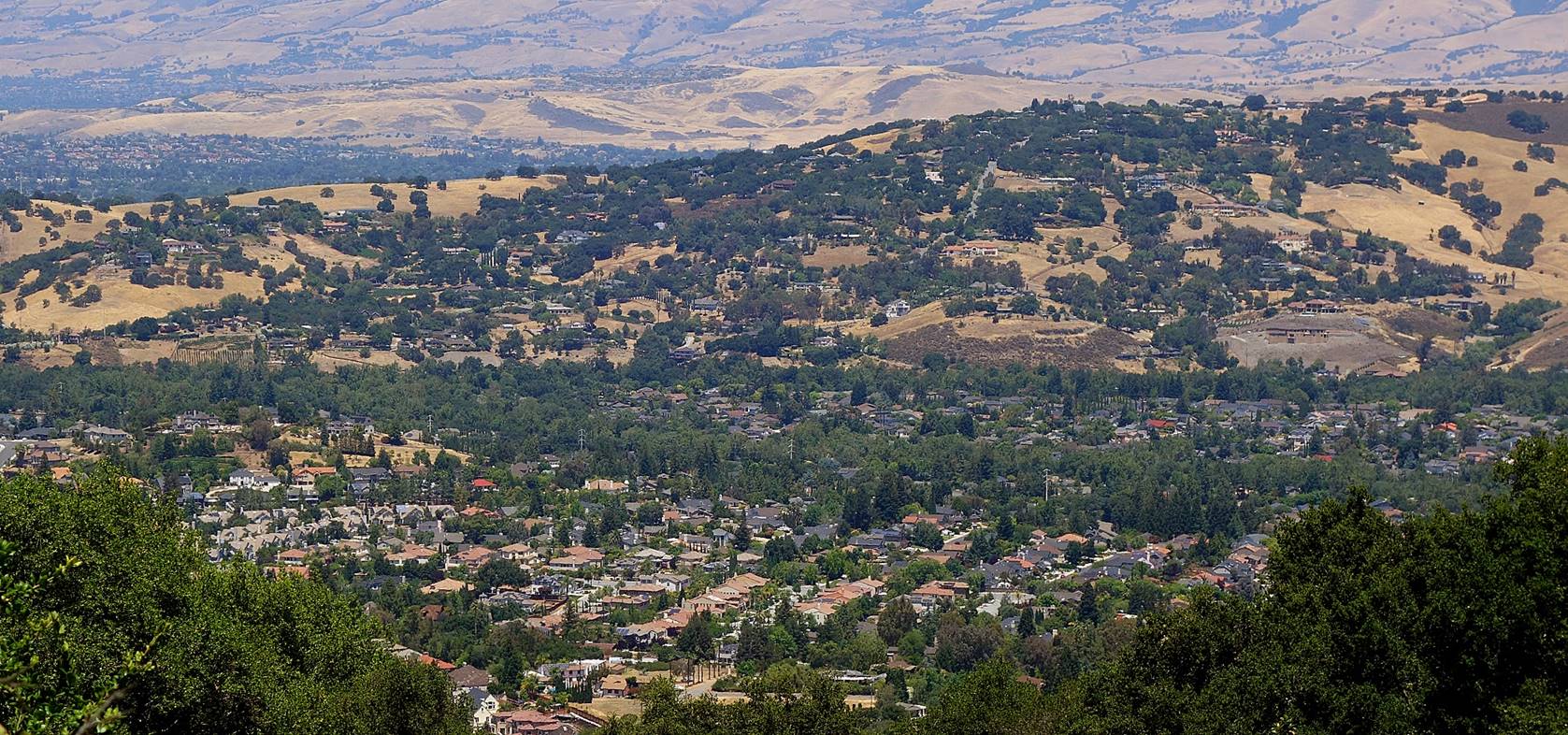
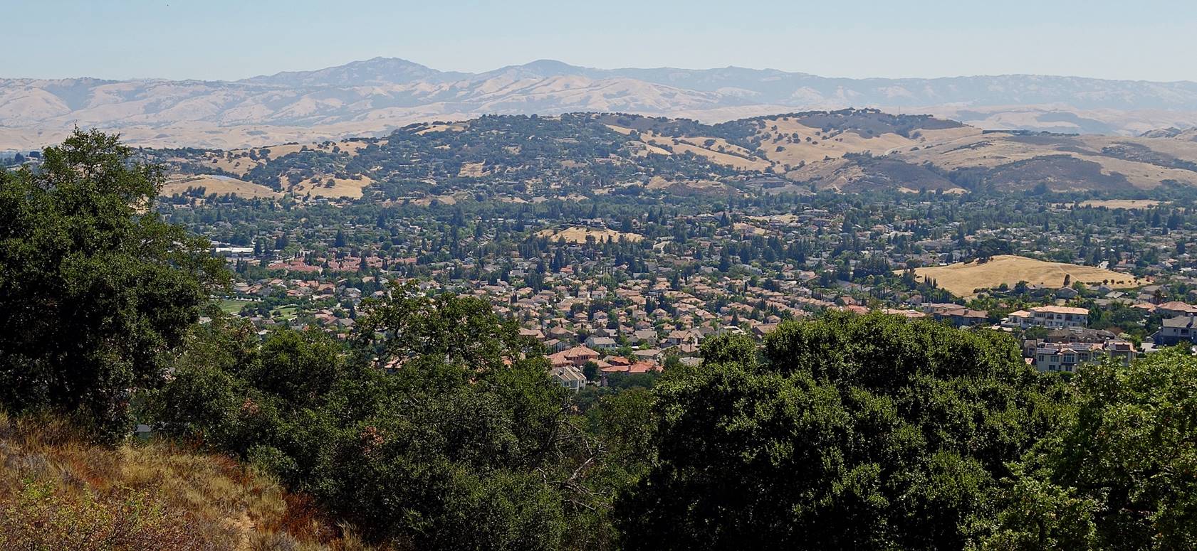
View over southern San Jose from Mine
Hill Trail.
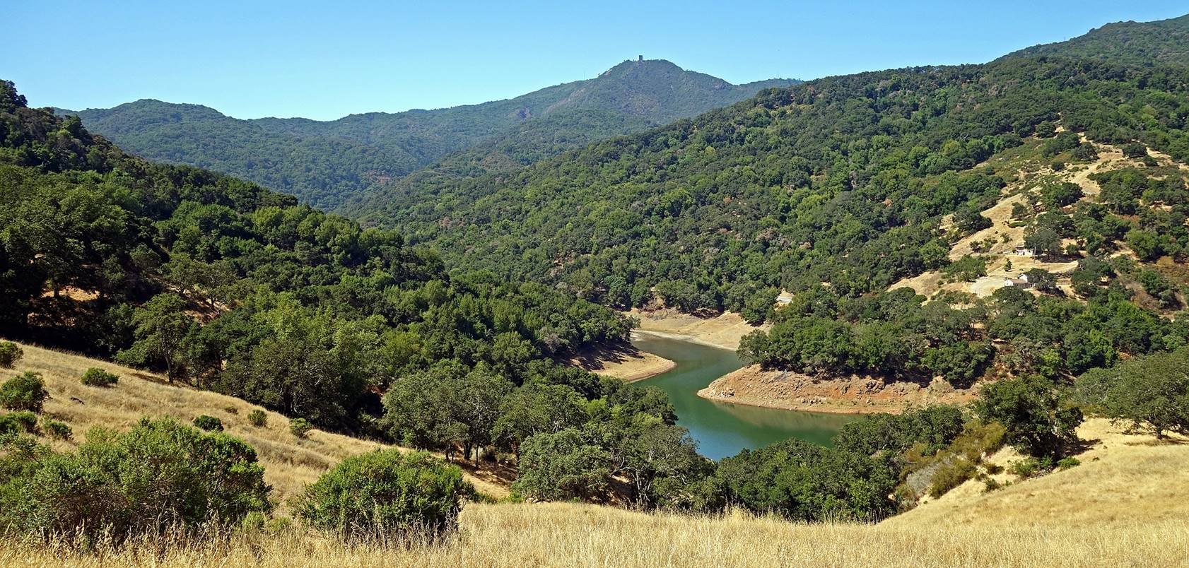
Mount Umunhum (1063m)
capped with a former military radar tower and upper portion of Guadalupe
Reservoir seen from Mine Hill Trail.
Guadalupe Reservoir and its dam seen
from Mine Hill Trail.
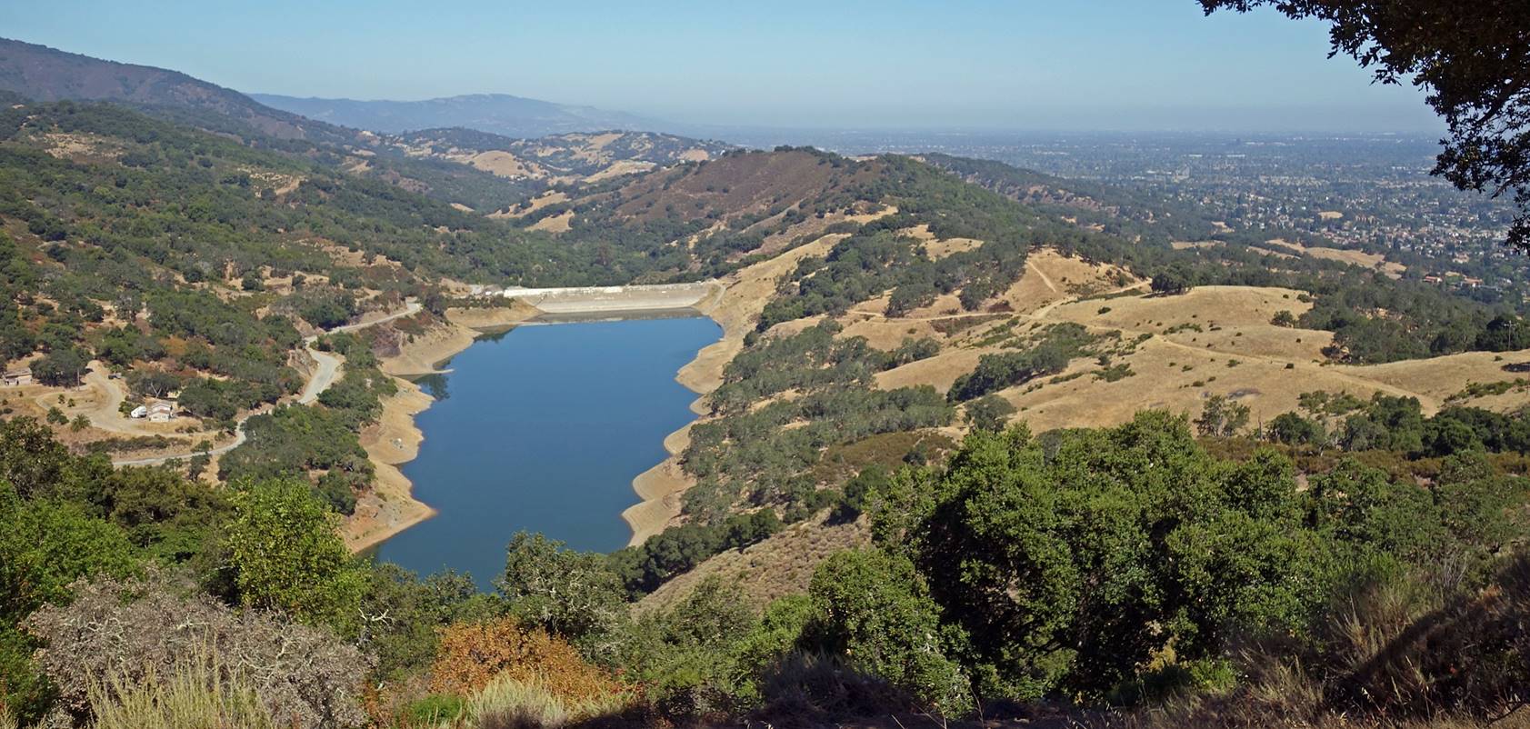
View of Guadalupe Reservoir from further
down along Mine Hill Trail.
Another view of the reservoir from the dam.
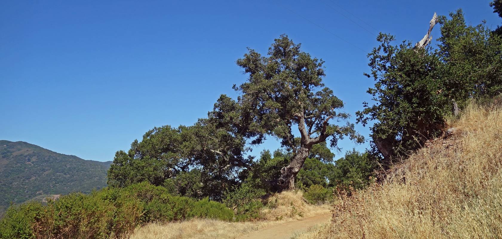
Views along New Almaden
Trail.
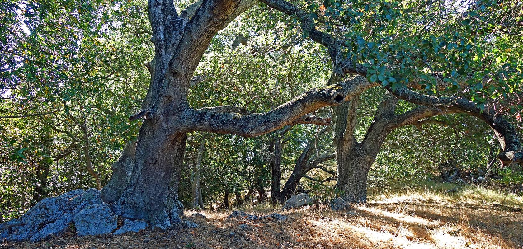
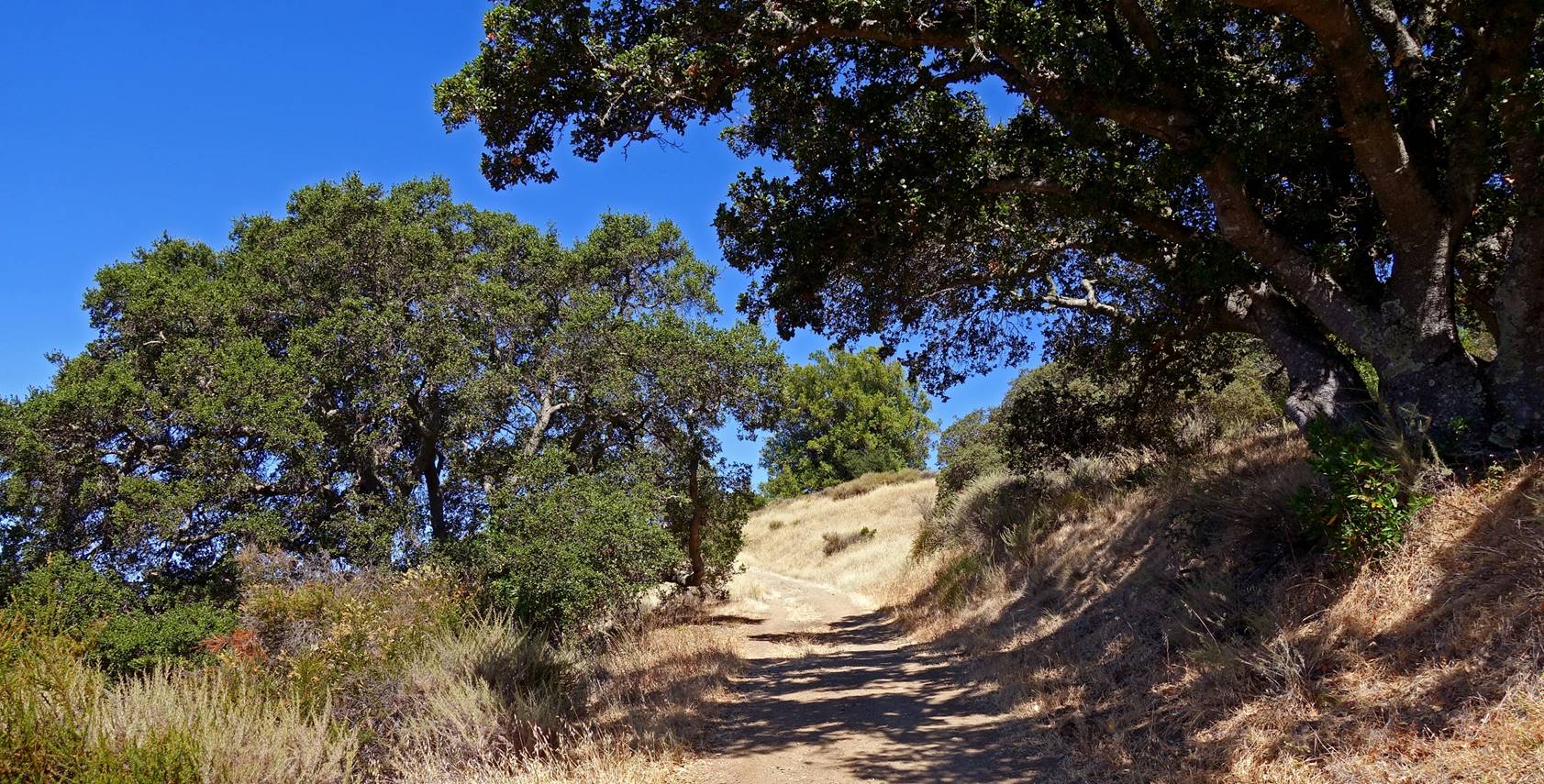
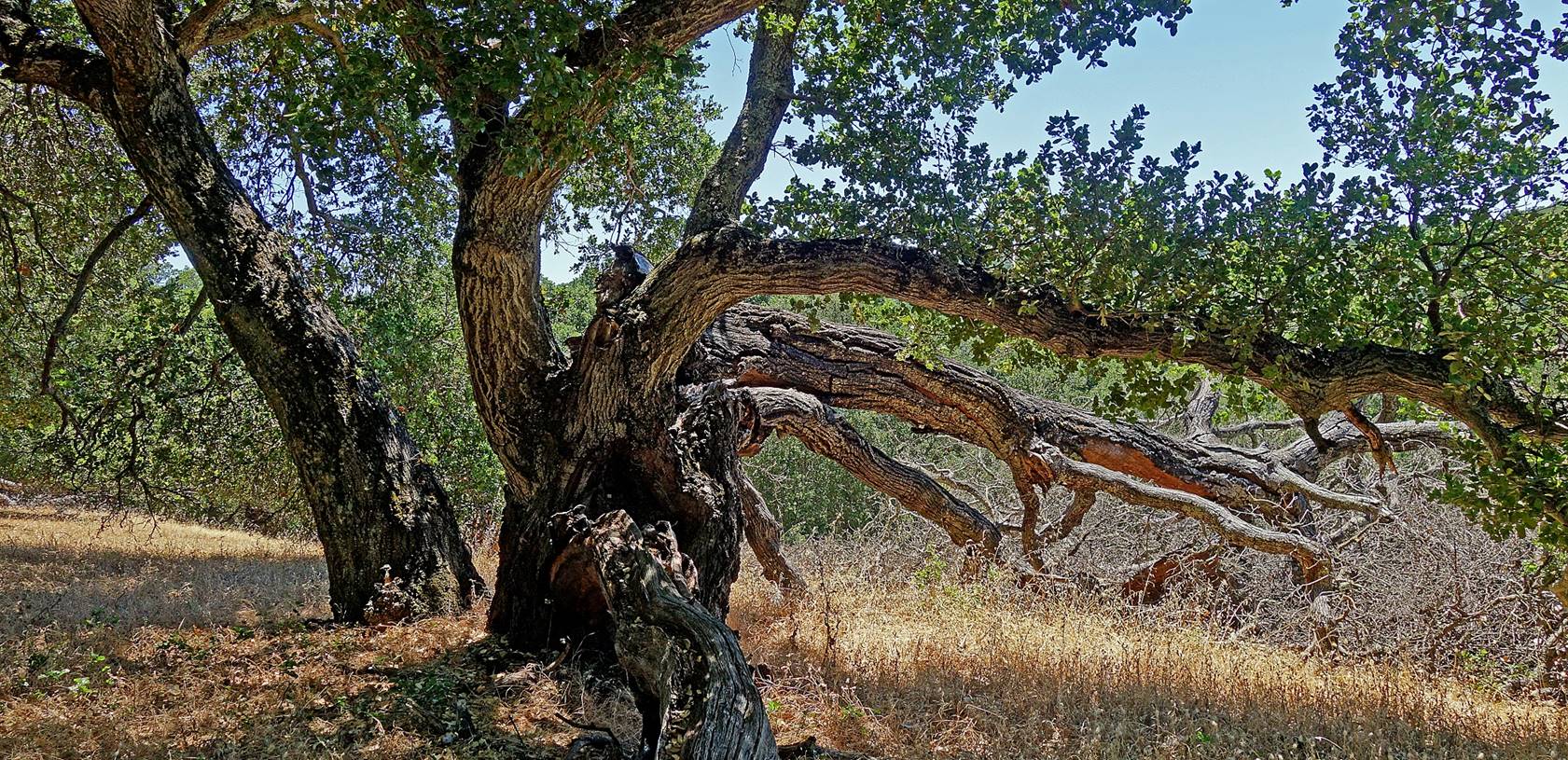
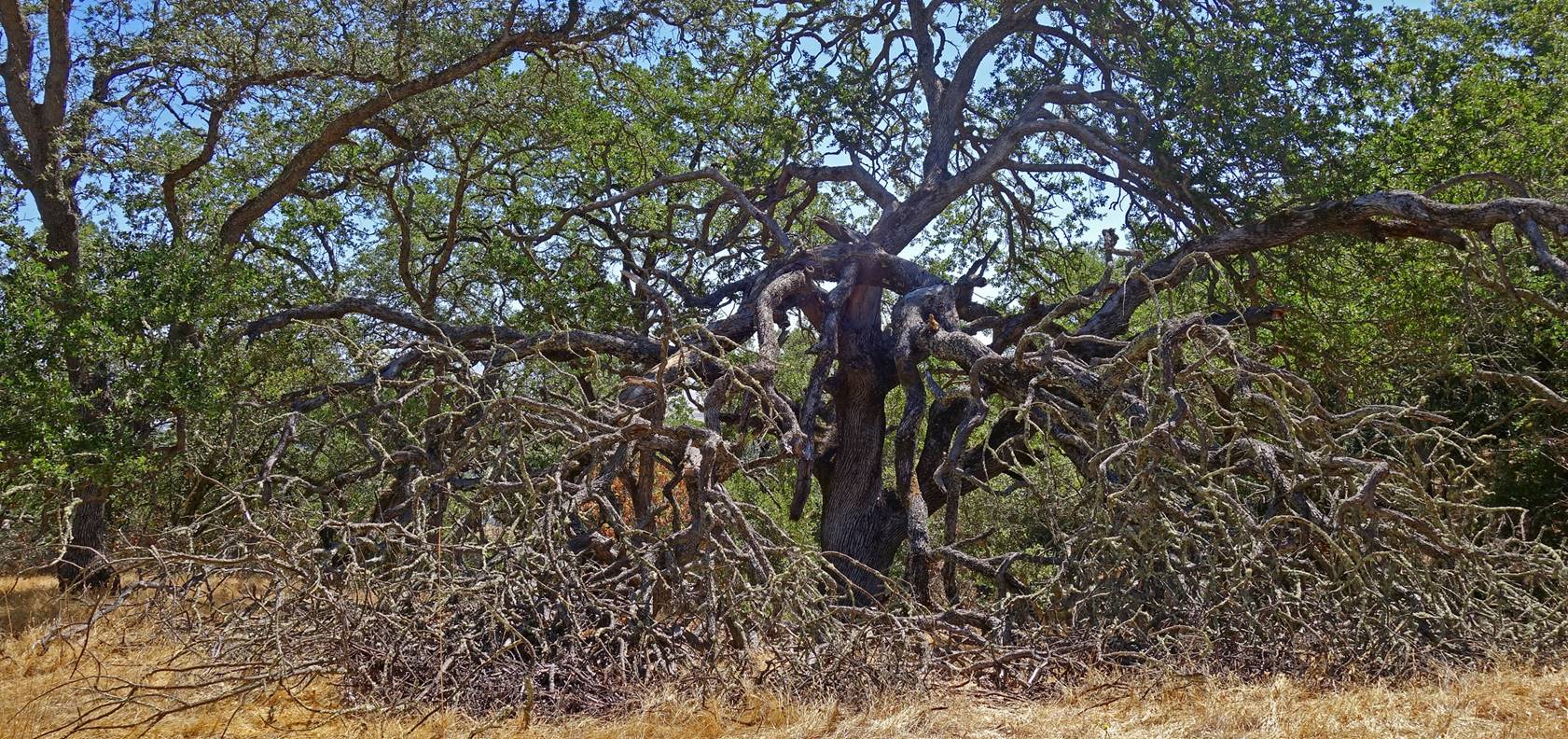
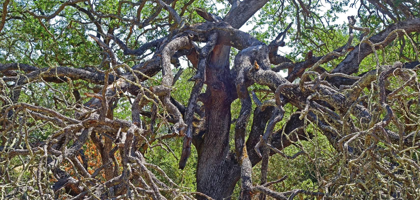
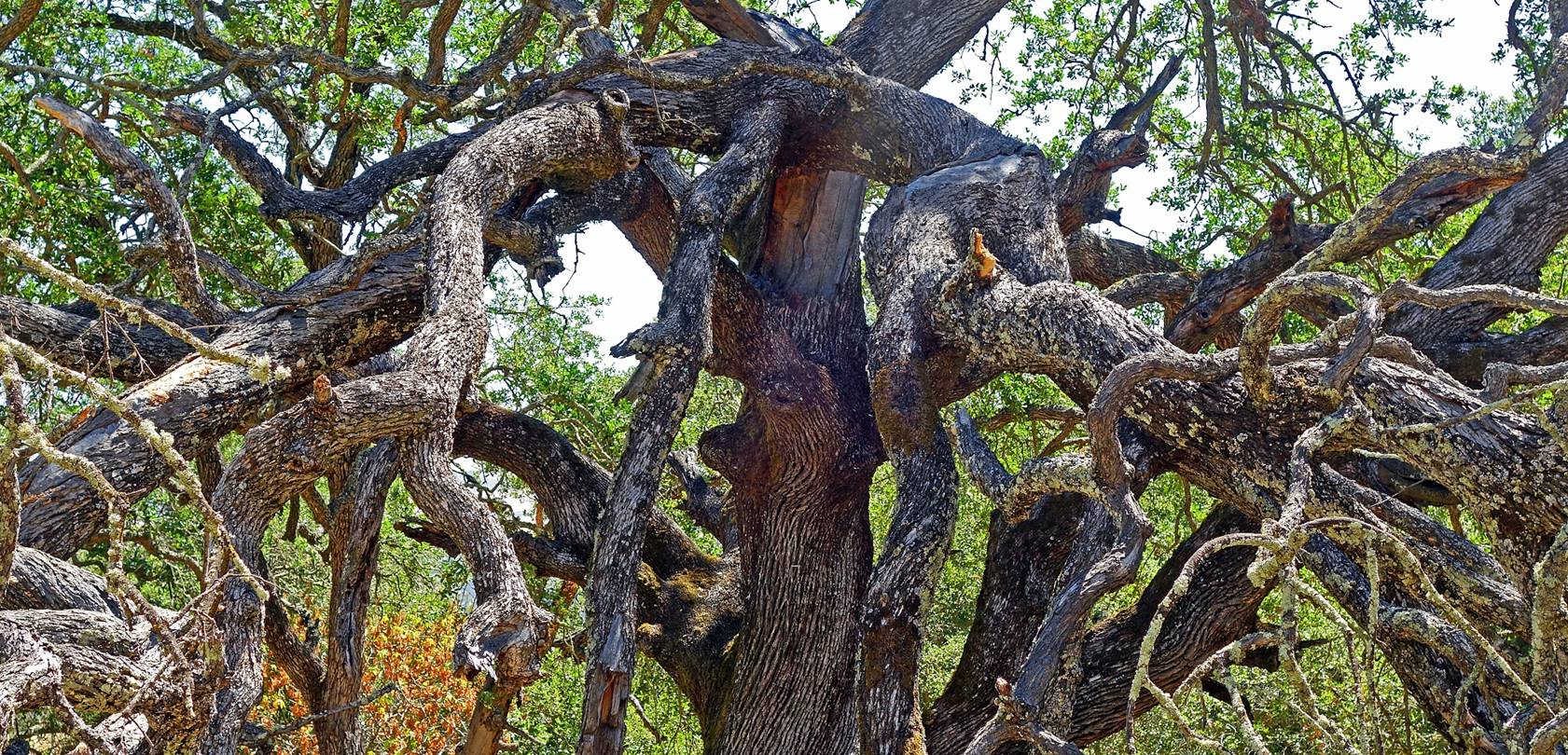
Dead sprawling tree along Randol Trail.
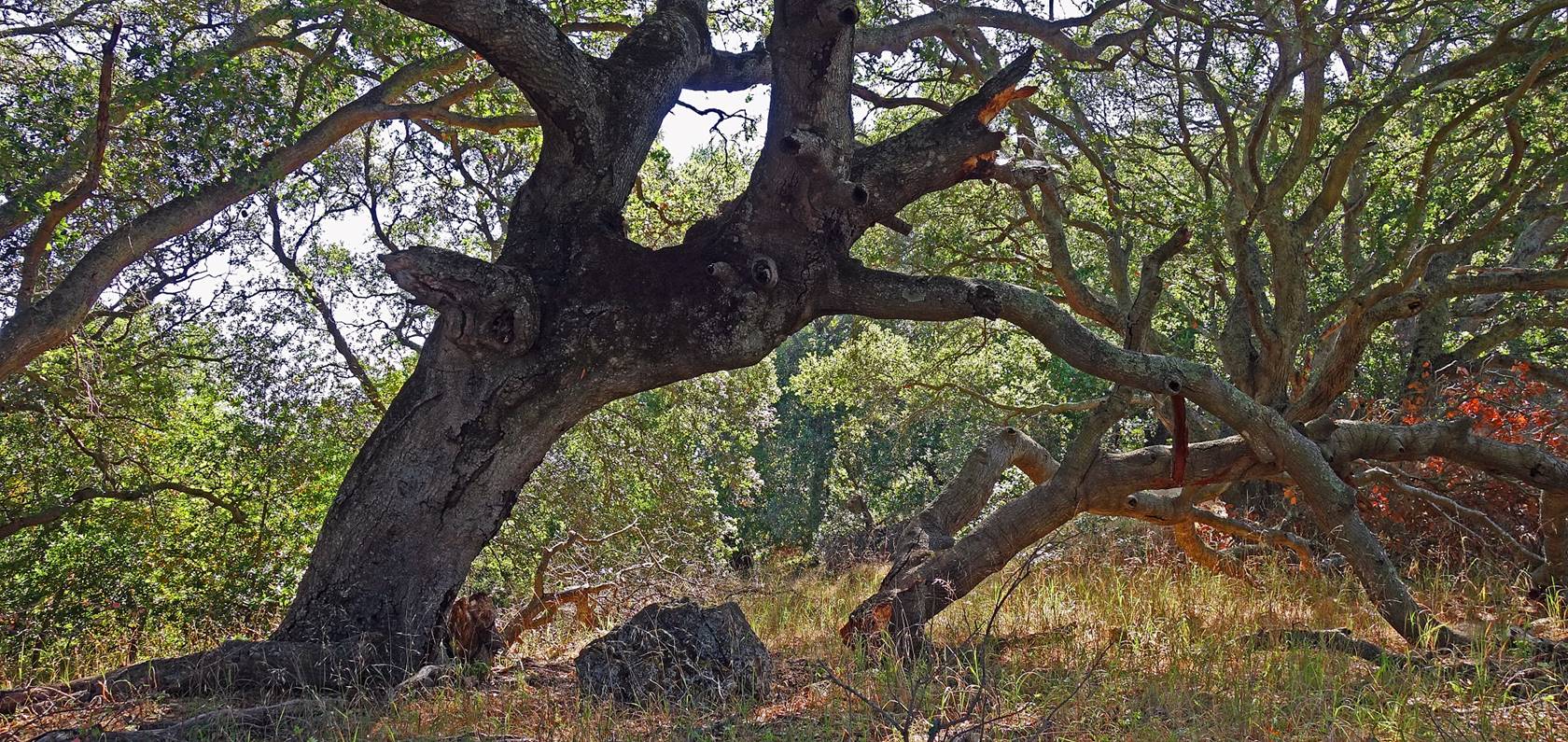
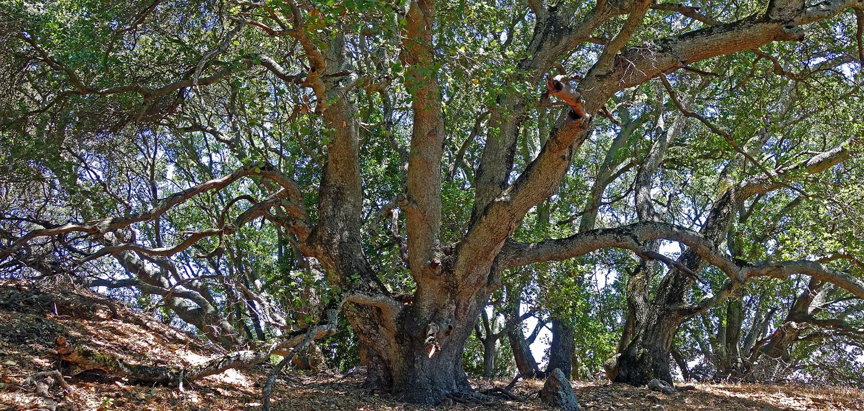
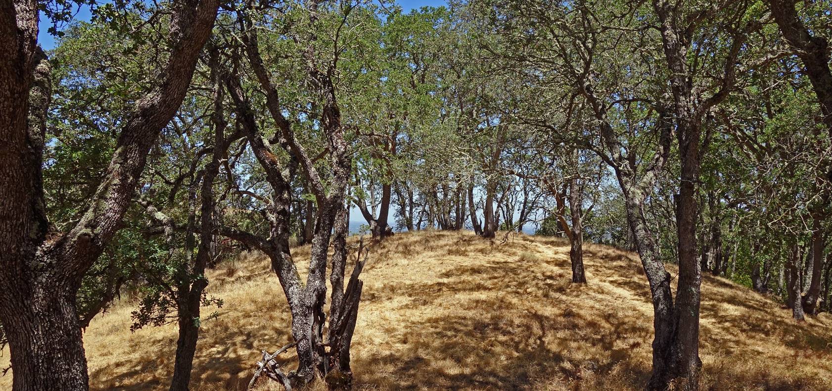
Grove along Randol
Trail.
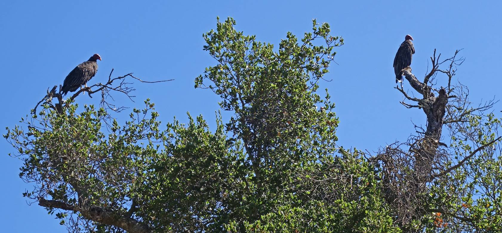
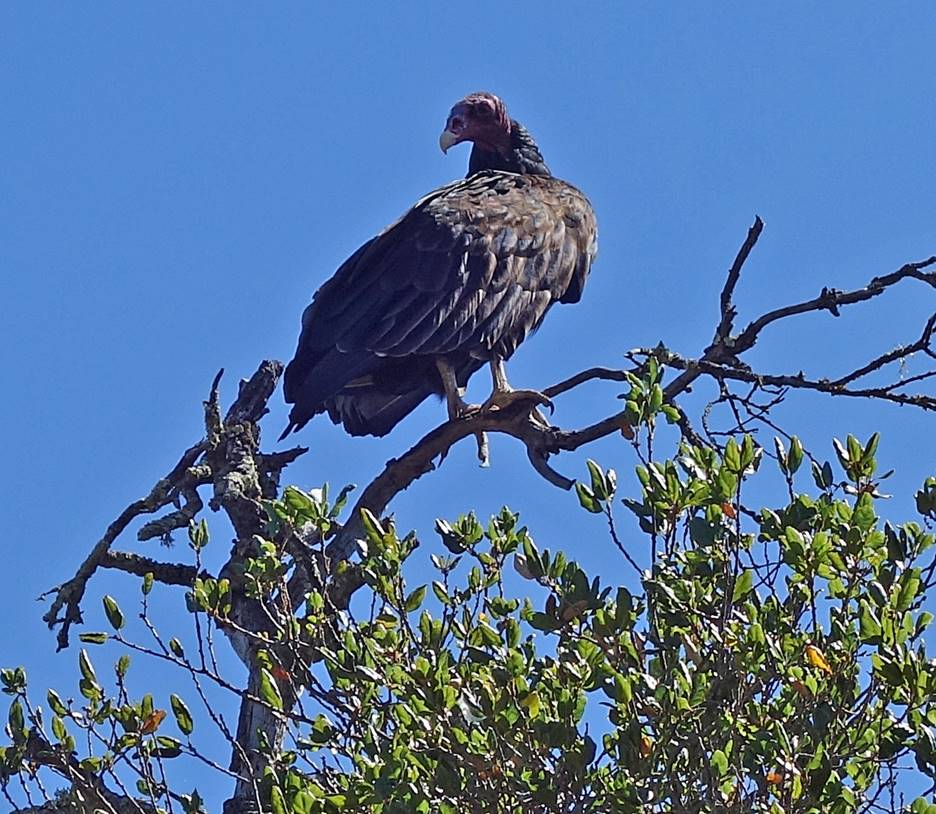
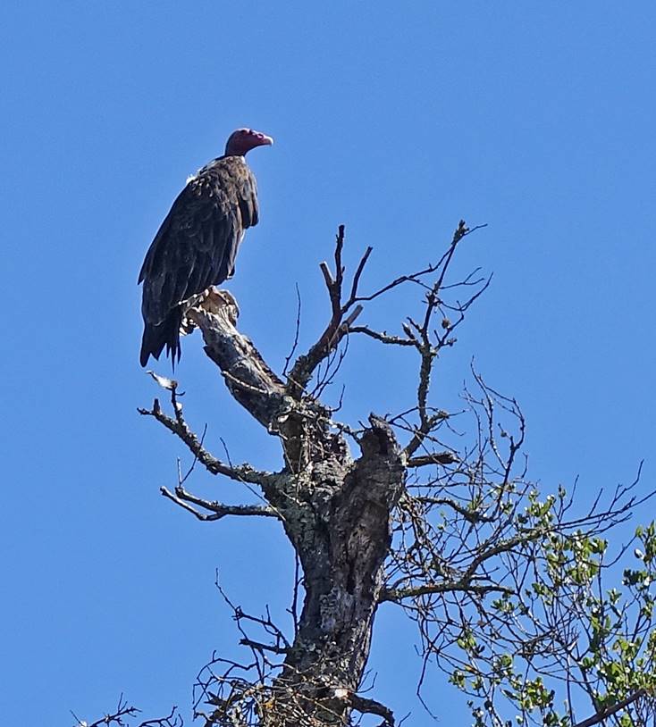
Pair of turkey vultures along Randol Trail.
|
|
|
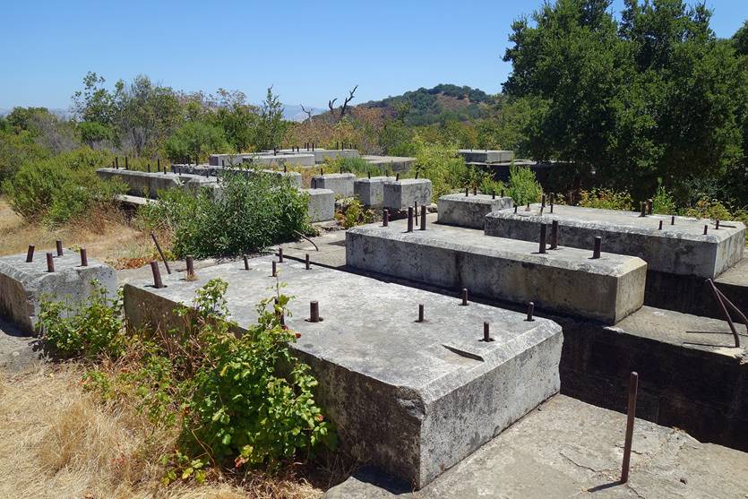
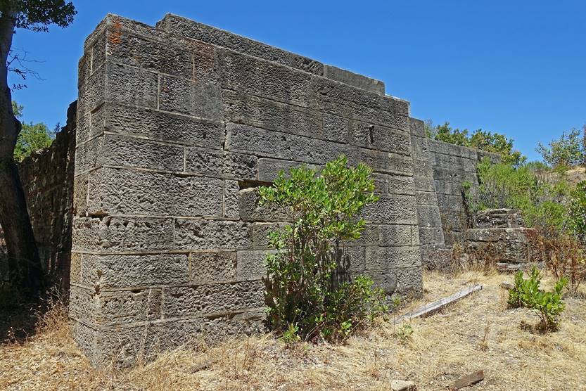
Remains of a structure
that supported a pumphouse above a deep shaft at Buena Vista, next to the
Randol Trail. The shaft, the construction of which began in 1882, reached a
depth of 700m, 183m below sea level. It was mainly used to pump water from
neighborhing mine tunnels. The large granite blocks in the first photo on the
left were brought from the Sierra Nevada.
|
|
|
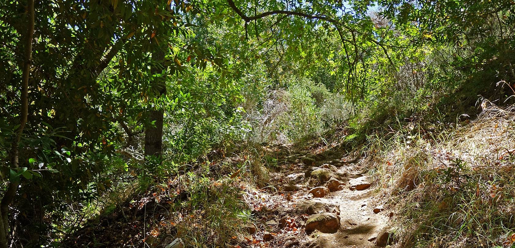
Section of Day Tunnel Trail that
connects Randol and Mine Hill Trails.
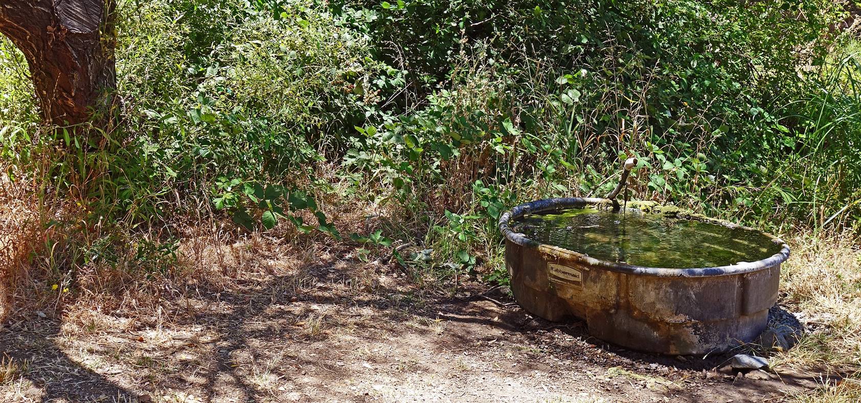
Horse water trough (first photo below)
and mine waste (second photo) at the junction of Day and Randol
Trails.
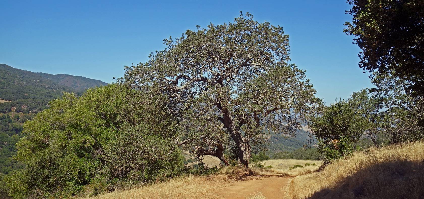
Views from the lower section of Mine
Hill Trail near the park′s Hacienda Entrance.
Along Hacienda Trail, north of Mine Hill
Trail.
![]()