Aconcagua (January-February
2001)
|
|
Return to my
mountaineering/trekking/travel webpage
|
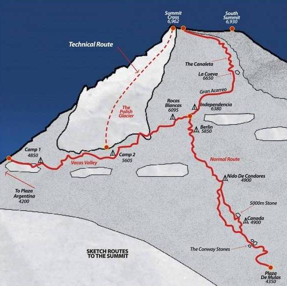
I climbed Aconcagua in January-February 2001. At
6962m it is the highest peak in America (north and south). For that reason
alone it attracts many climbers. Most of them follow the Normal Route
starting at Plaza de Mulas. To avoid the crowd, I
took the False Polish Route that starts at Plaza de Argentina and merges with
the Normal Route at about 6200m, below the Independencia
hut (6300m). In total I spent 17 days on the mountain and
summitted on the 14th day (February 2nd) at 11:15am on a perfect
sunny windless day. I did the climb alone without any support, though I met
several other climbers along the way. My climbing schedule was as follows:
|
|
While at Base Camp, I did two carries to Camp 1.
From Camp 1, I did one carry to Camp 2. On the 11th day I had
planned to move up to Camp 2, but very strong winds forced me to set an
intermediate camp (1+) at the saddle between Aconcagua and Ameghino (a 5883m
peak). To divide the push from Camp 2 to the summit (a 1100m ascent), I decided
to bivouac at Independencia (where there was a small,
partially destroyed hut). Despite the elevation and the cold (6300m), I slept
well. On the 14th day, I left Independencia
at 7am and reached the summit (6962m) a little over 4 hours later. For 45 min I
was alone at the top.
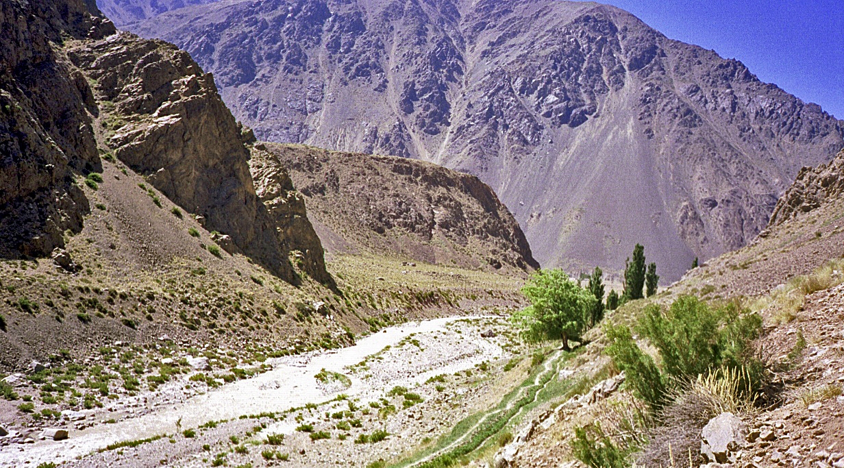
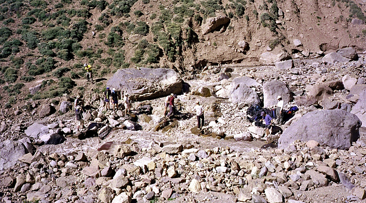
Beginning of the hike
from Los Penitentes toward Casa de Piedra along the Rio de las Vacas.
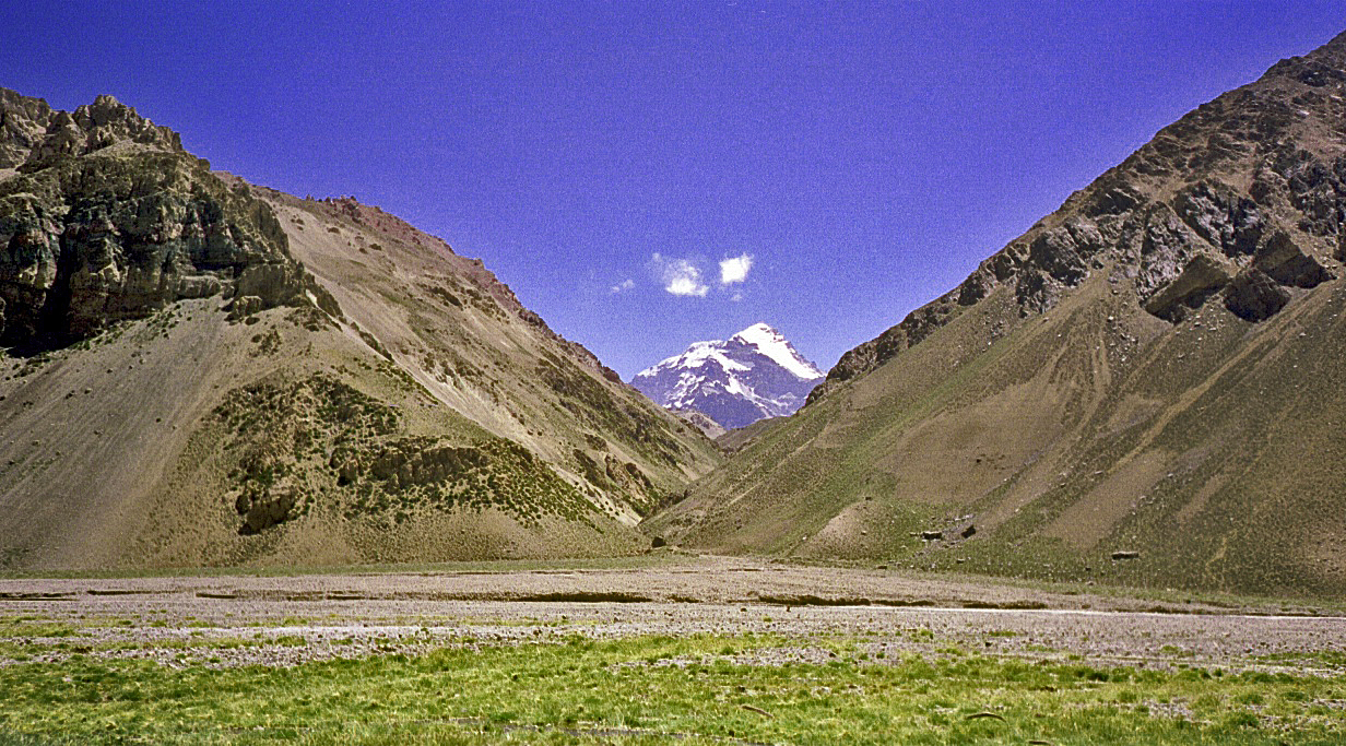
First view of Aconcagua
from Casa de Piedra, at the junction with Relinchos
Valley.
My camp at Casa de
Piedra.
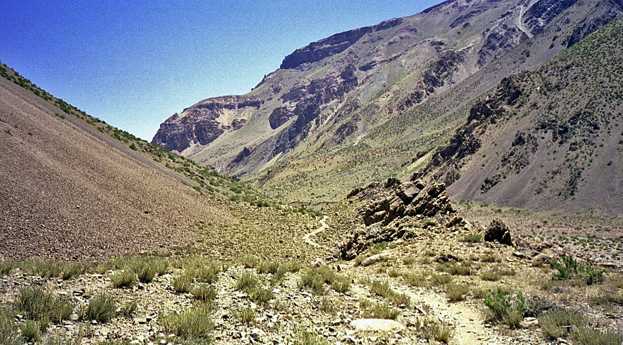
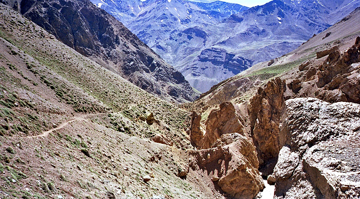
Between Casa de Piedra and Plaza de Argentina along
Relinchos Valley.
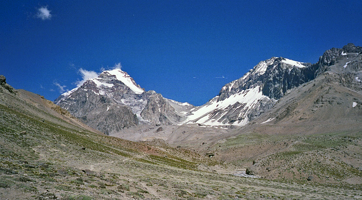
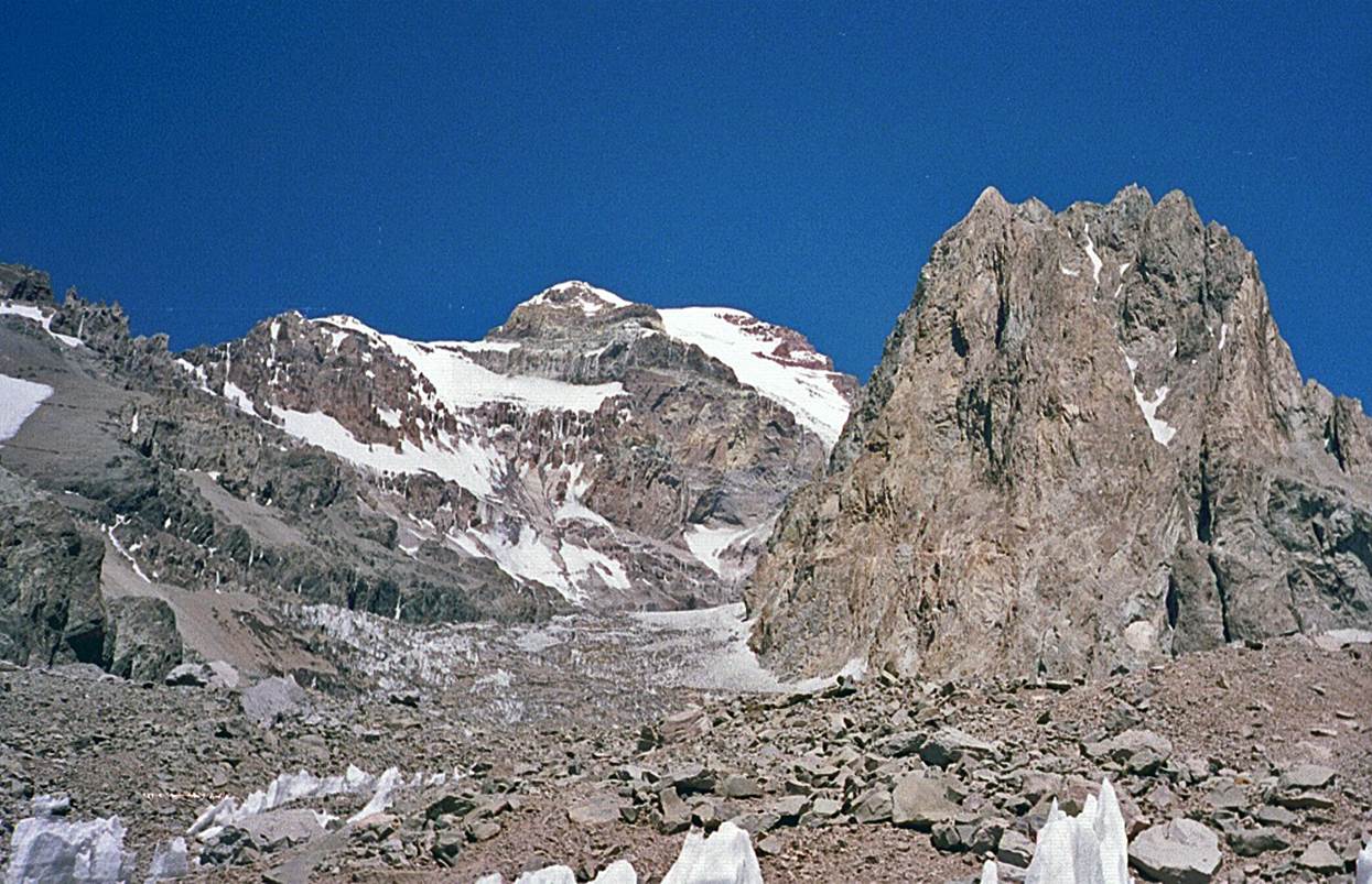
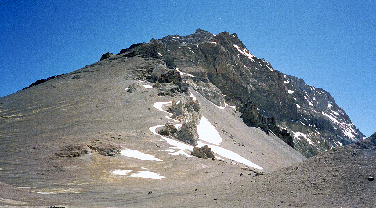
Approaching Plaza de
Argentina with Aconcagua on the left and Ameghino on the
right.
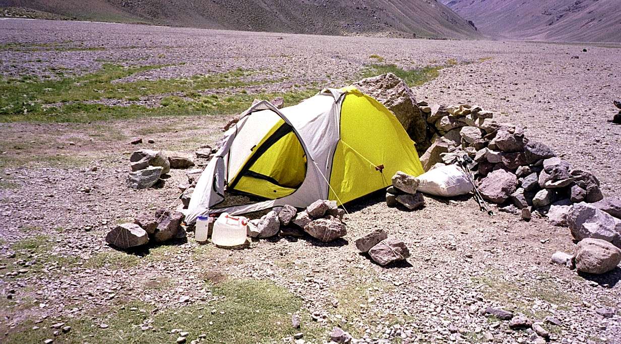
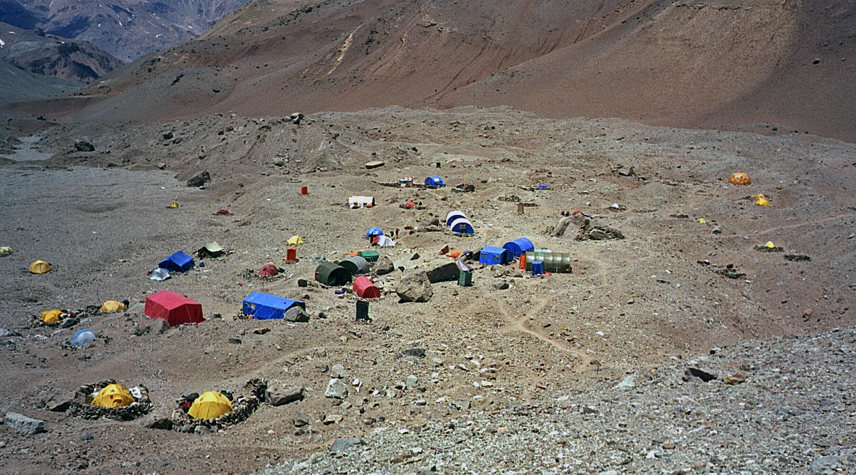
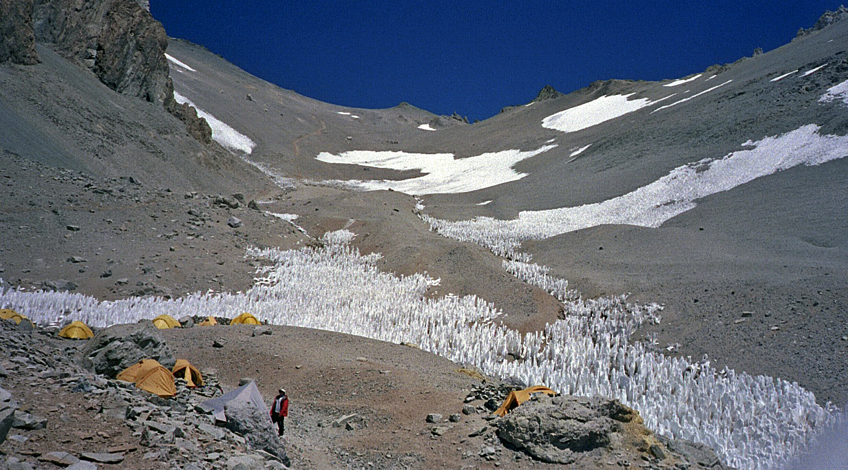
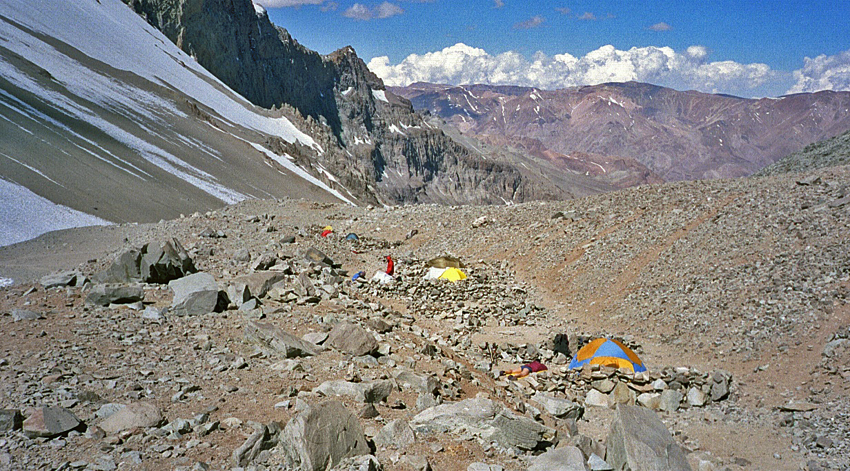
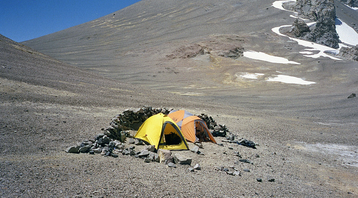
Views of Base Camp at Plaza de Argentina (4200m).
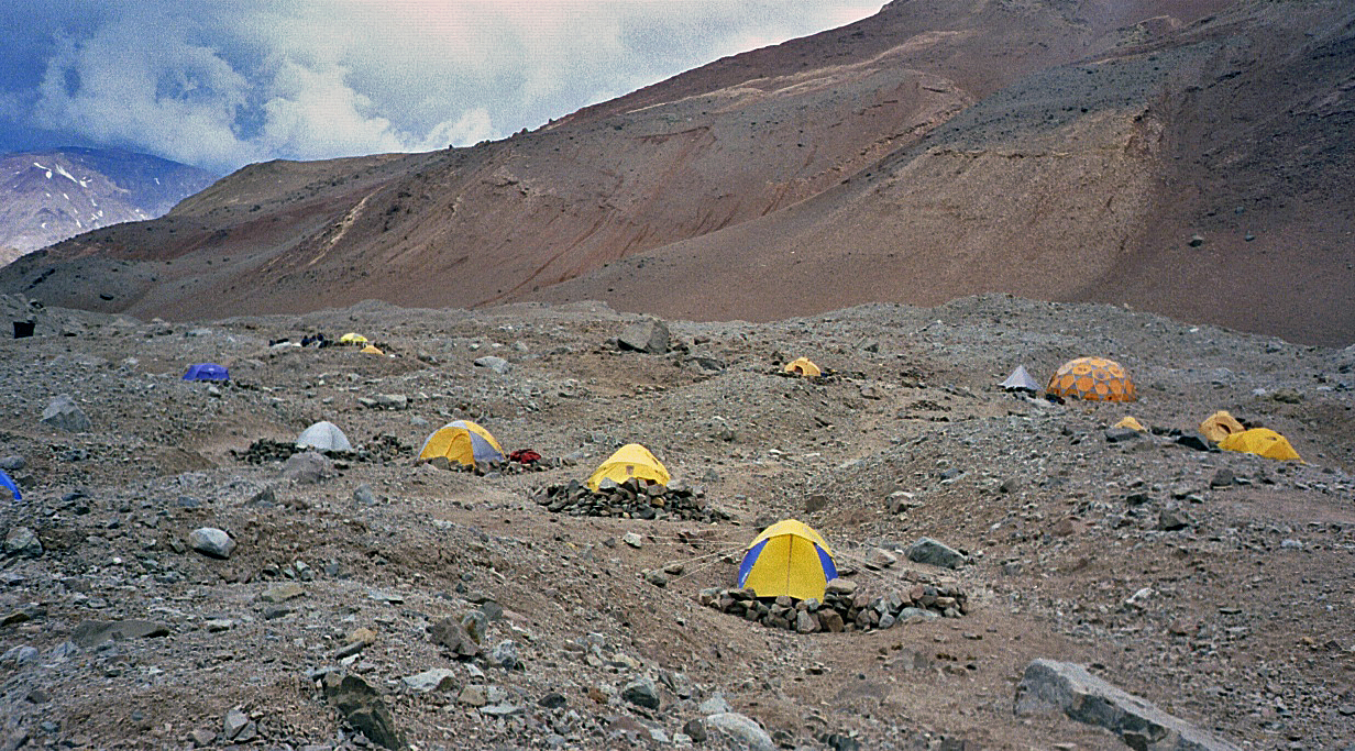
(In this photo, my tent is the
rightmost tent set behind a rock wall.)
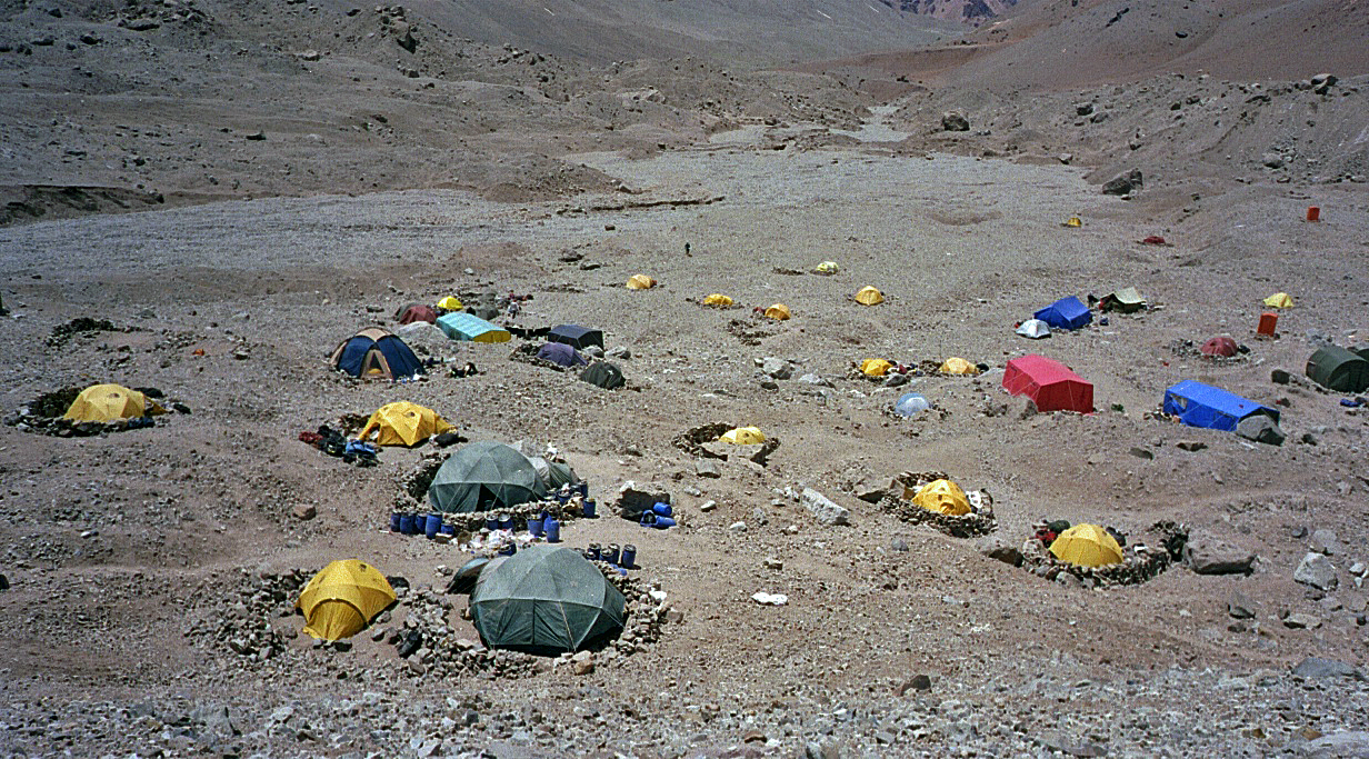
My own camp. On one morning a helicopter landed
just above my tent to rescue a climber with a pulmonary edema (right photo).
|
|
|


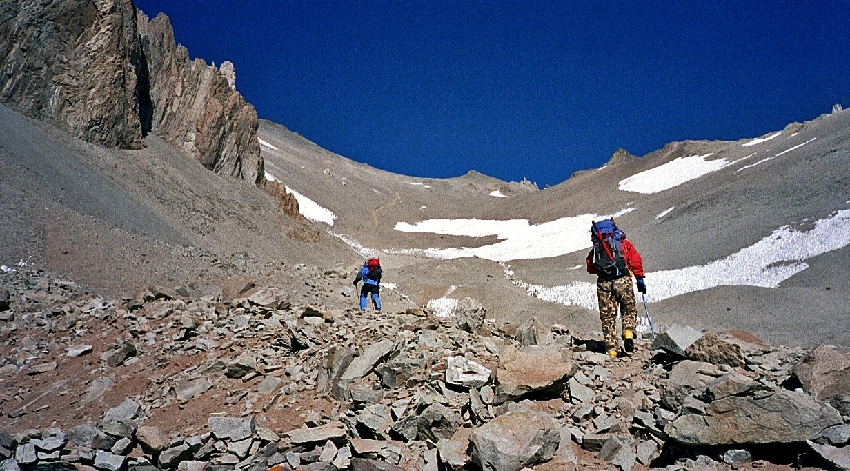
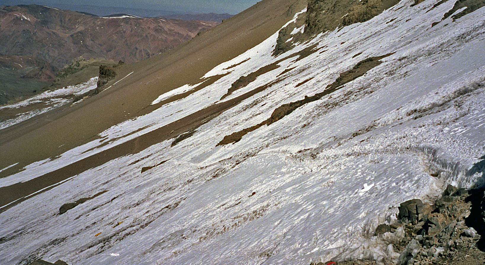
Between B.C. and Camp 1.
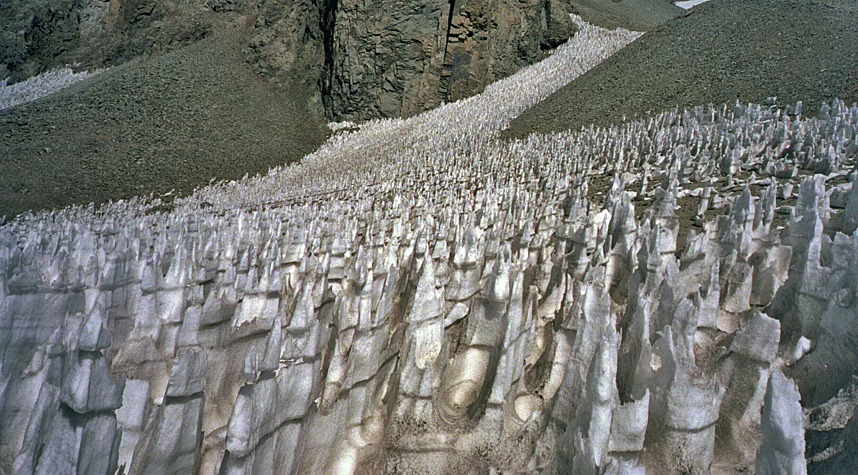
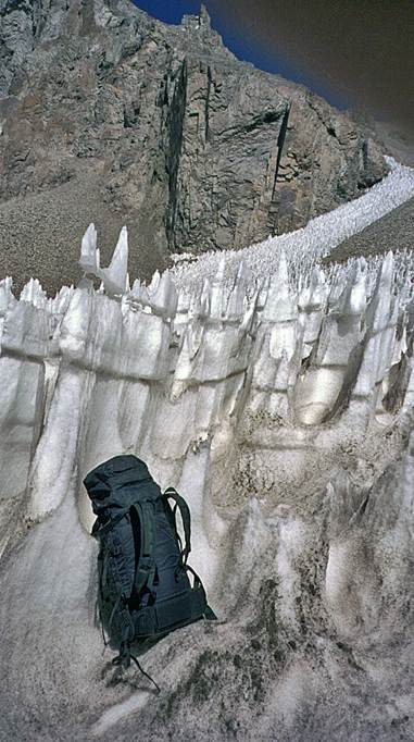
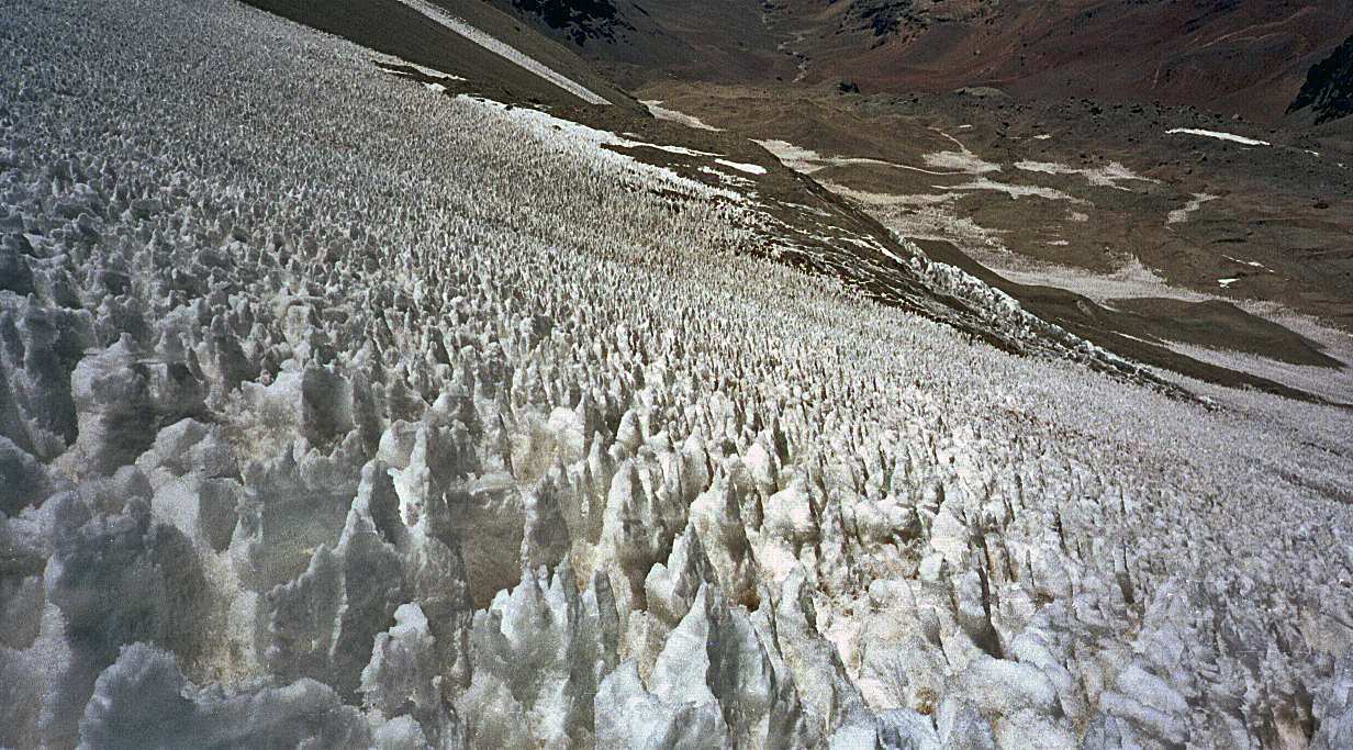
Between B.C. and Camp
1 there was a choice between two routes. One required strenuous climbing on
loose rock screes, the other difficult navigation across penitentes
fields (shown below). Penitentes are tall, closely spaced blades of hardened
snow and ice created by sun, cold, and wind. Many were taller than me. I
eventually tried both routes, one for each of the two carries I did to Camp 1.
|
|
|
Views of Camp 1
(5000m).
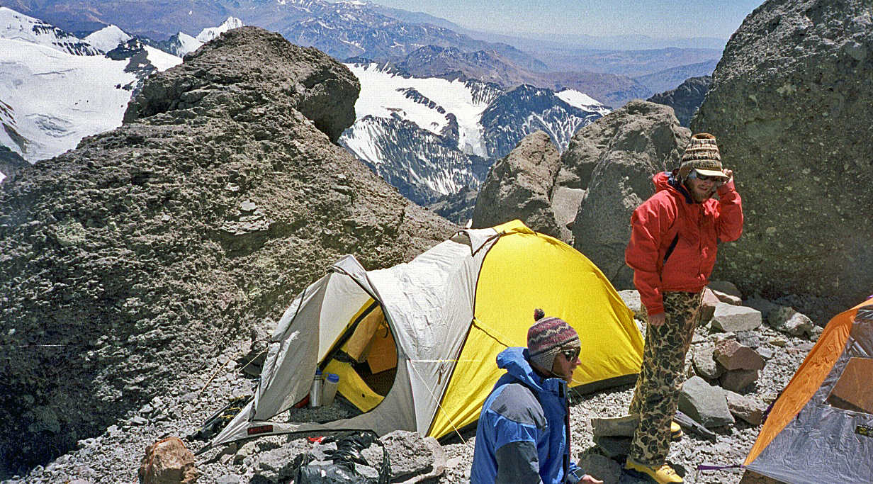
Above Camp 1.
The saddle between Aconcagua and Ameghino (first
photo) and my camp 1+ on the saddle (5400m) near another tent set up by two
Americans, Brandon and Chris, whom I had met along the way (second photo). All
three of us stopped there due extremely strong wind. During the night my Bibler
tent twisted and bent, but hold up nicely to the wind.
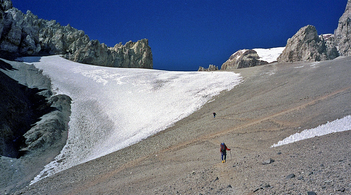
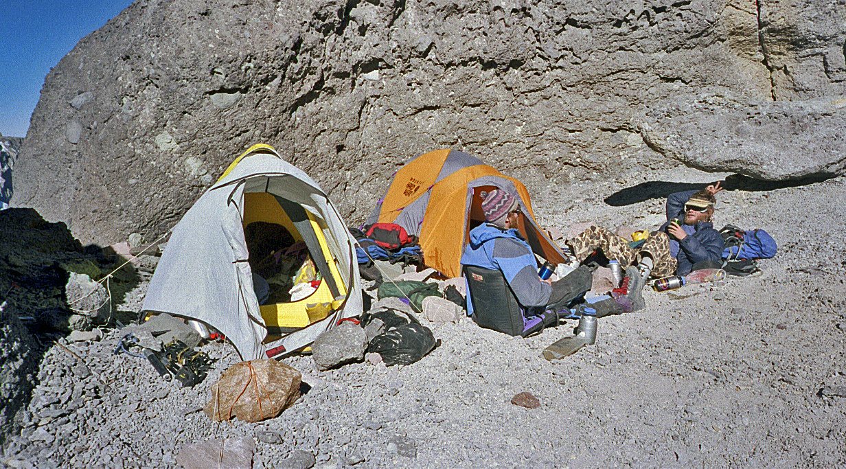
At Camp 2 (5900m),
again with Brandon and Chris.
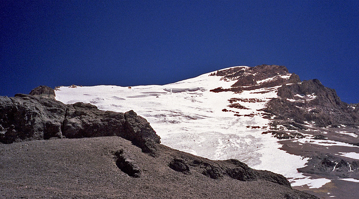
Polish Glacier above
Camp 2.
Views from Camp 2.
|
|
|
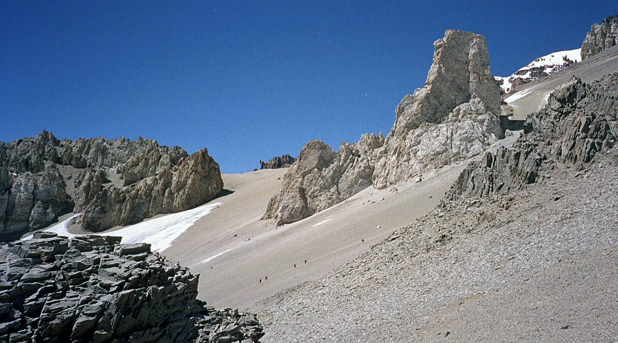
Above Camp 2 on the
traverse from the Polish Glacier to the
Normal Route toward Independencia.
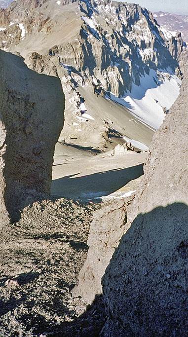
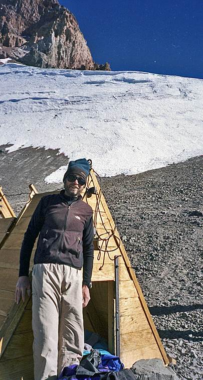
Me at the Independencia hut (6300m). I spent the night there alone,
as most climbers prefer to sleep at lower elevations. In retrospect, I think I
made the right decision. It gave me a good head start on summit day and allowed
me to reach the infamous Canaleta (a steep and long
scree below the summit) with much remaining energy.
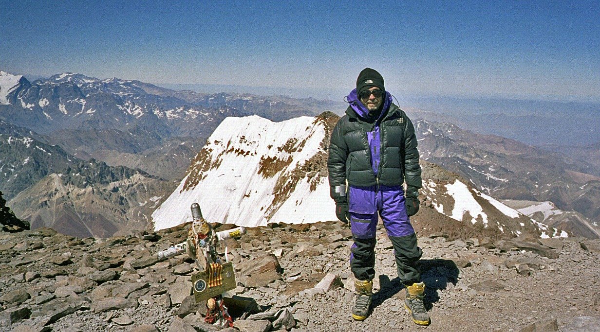
Me at the North
Summit (6962m).
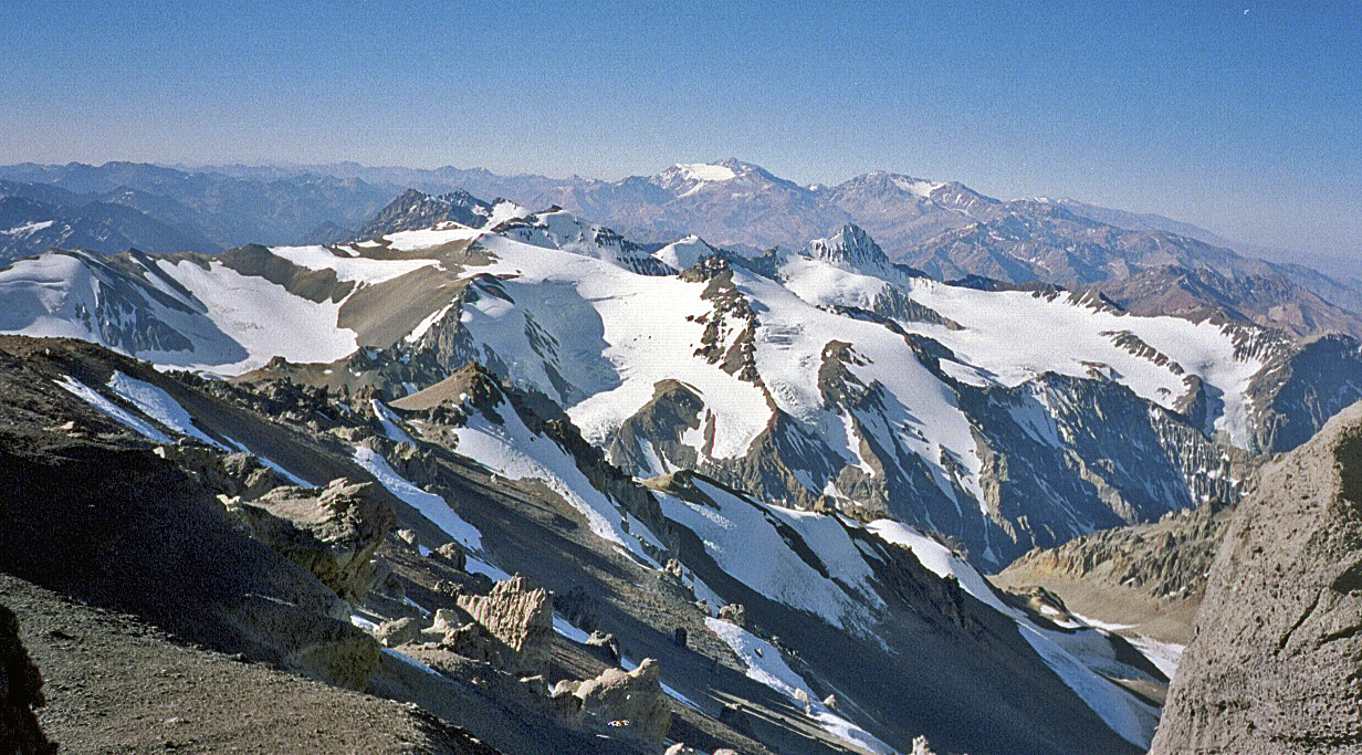
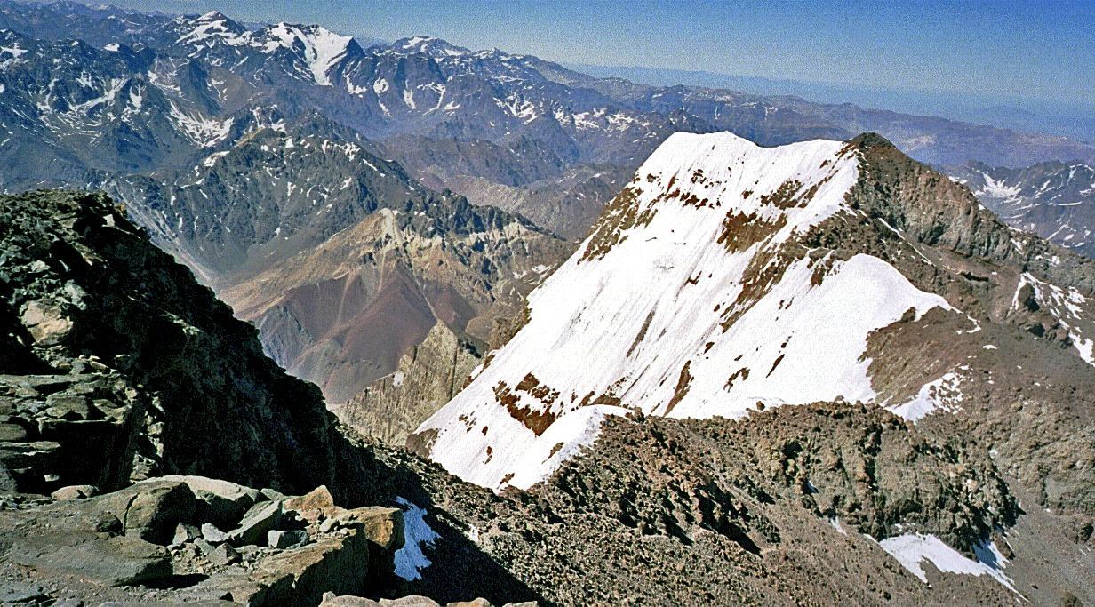
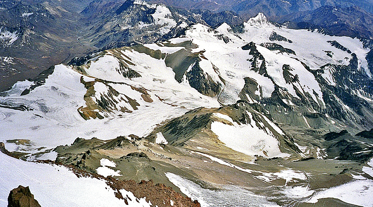
Views of the South
Summit from the North Summit
View of the Normal
Route toward Nido de Condores
and Plaza de Mulas.
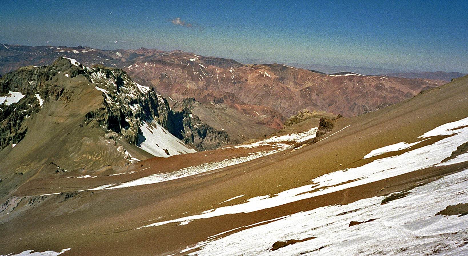
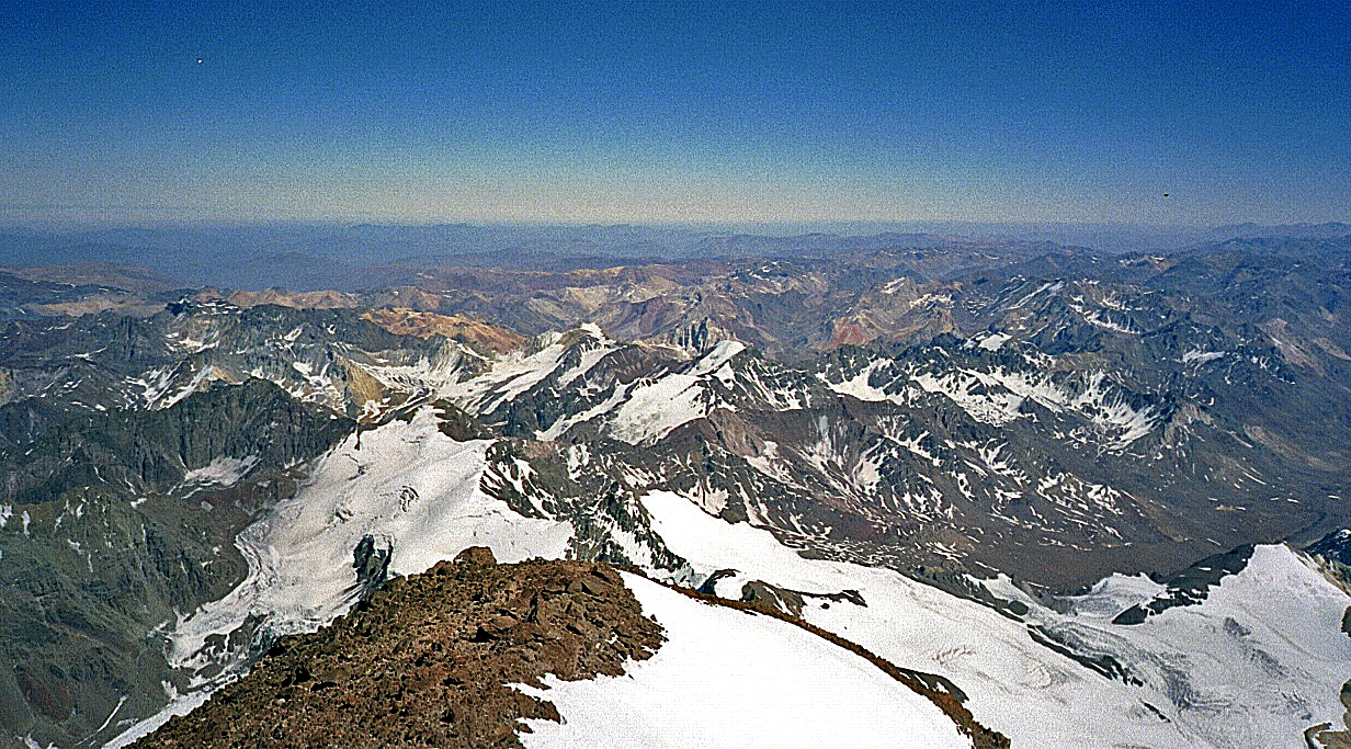
Another view from the
summit.
|
|