Matcha 2005: From Kshemysh river to Shurovski glacier
![]()
Return to Central
Asia 2005 main page
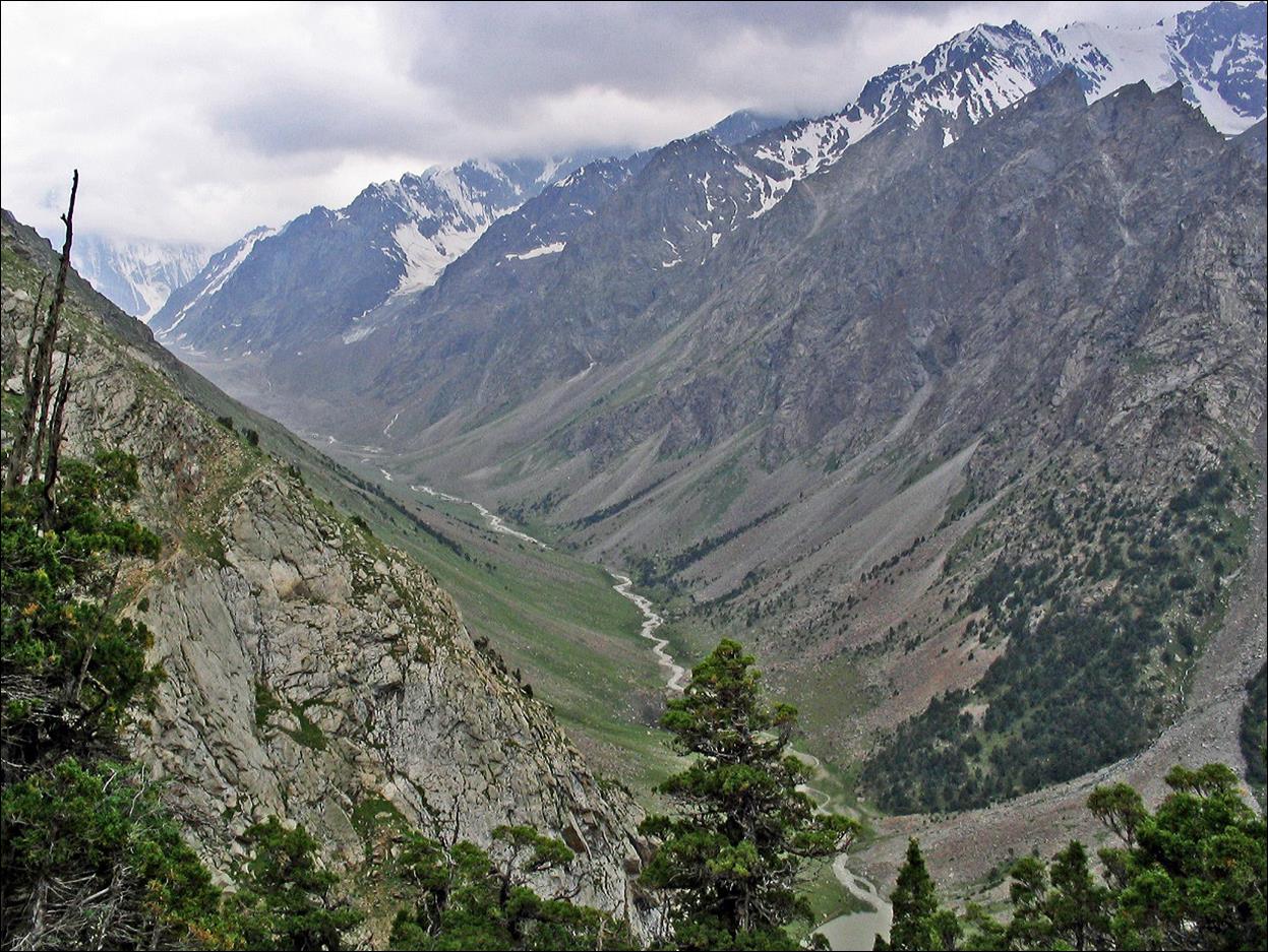
View
of Kshemysh valley, while descending from Dvoynoy pass.
Peaks
separating Kshemysh valley from Djiptyk
valley (located further west).
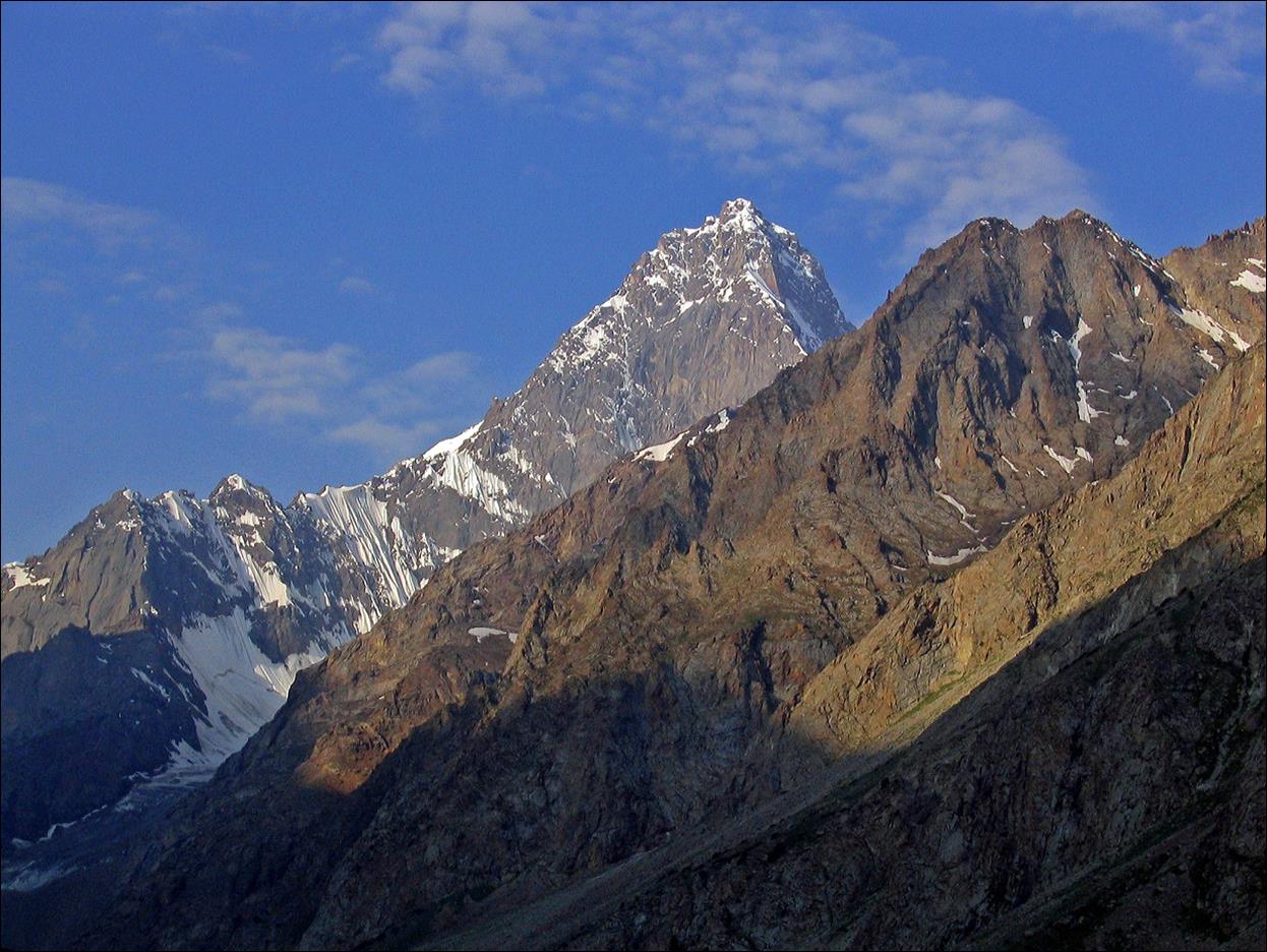
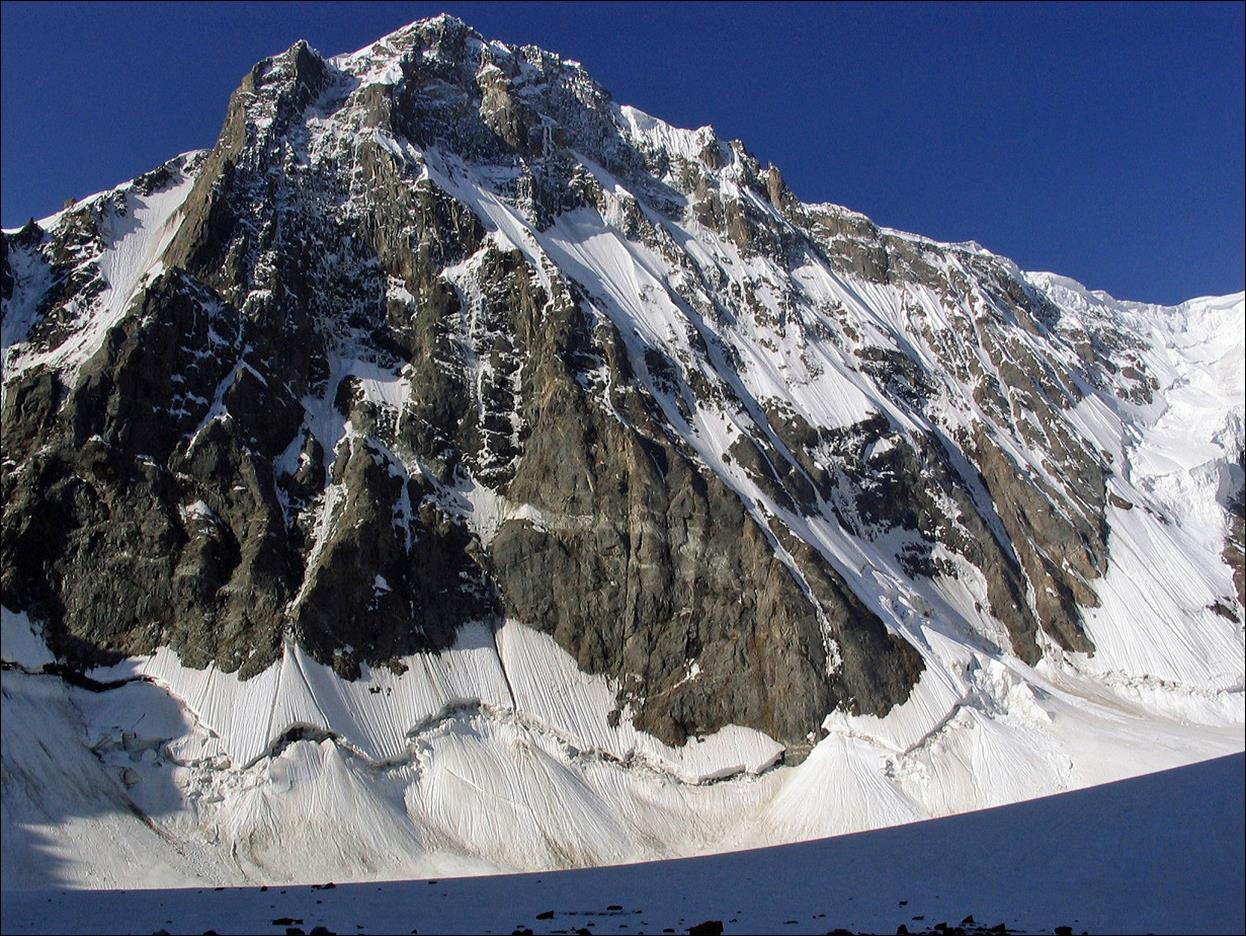
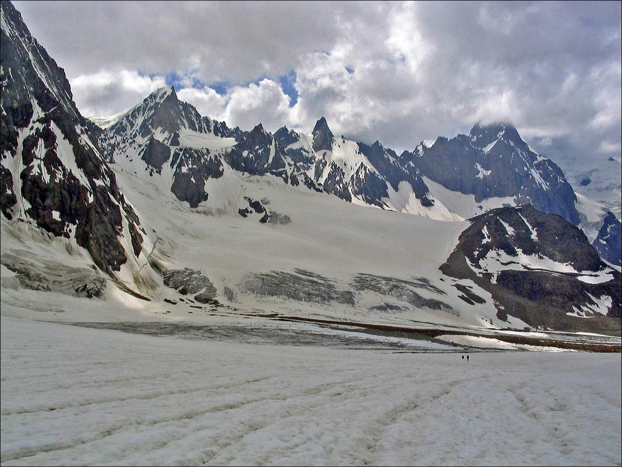
The
beginning of Kshemysh glacier with peak Kshemysh Bashi (5290m) in the background (this peak lies on
the border with Tajikistan).

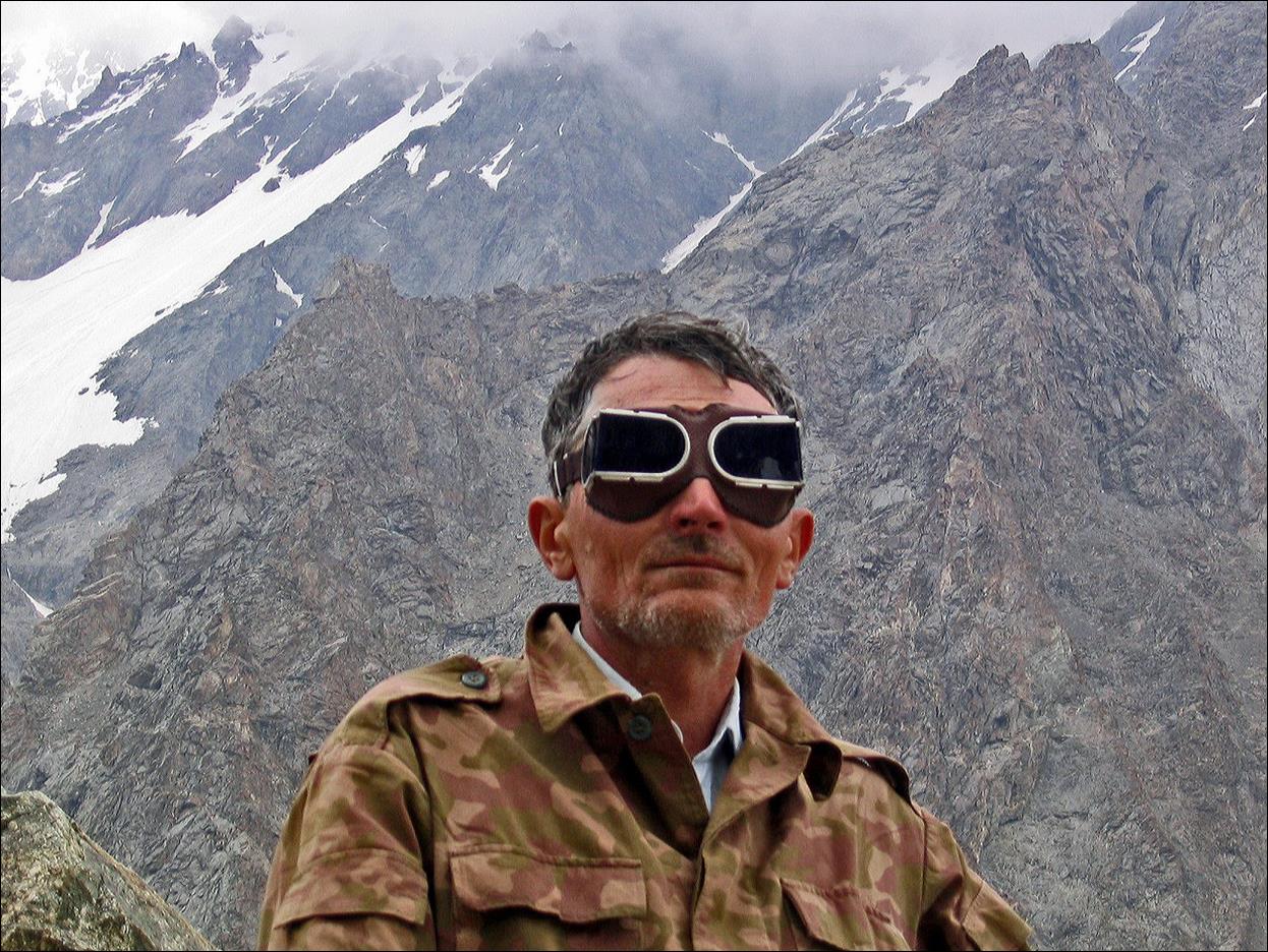
Slava‛s
trendy glacier goggles!
Kshemysh glacier (with peak Kshemysh
Bashi in the clouds).
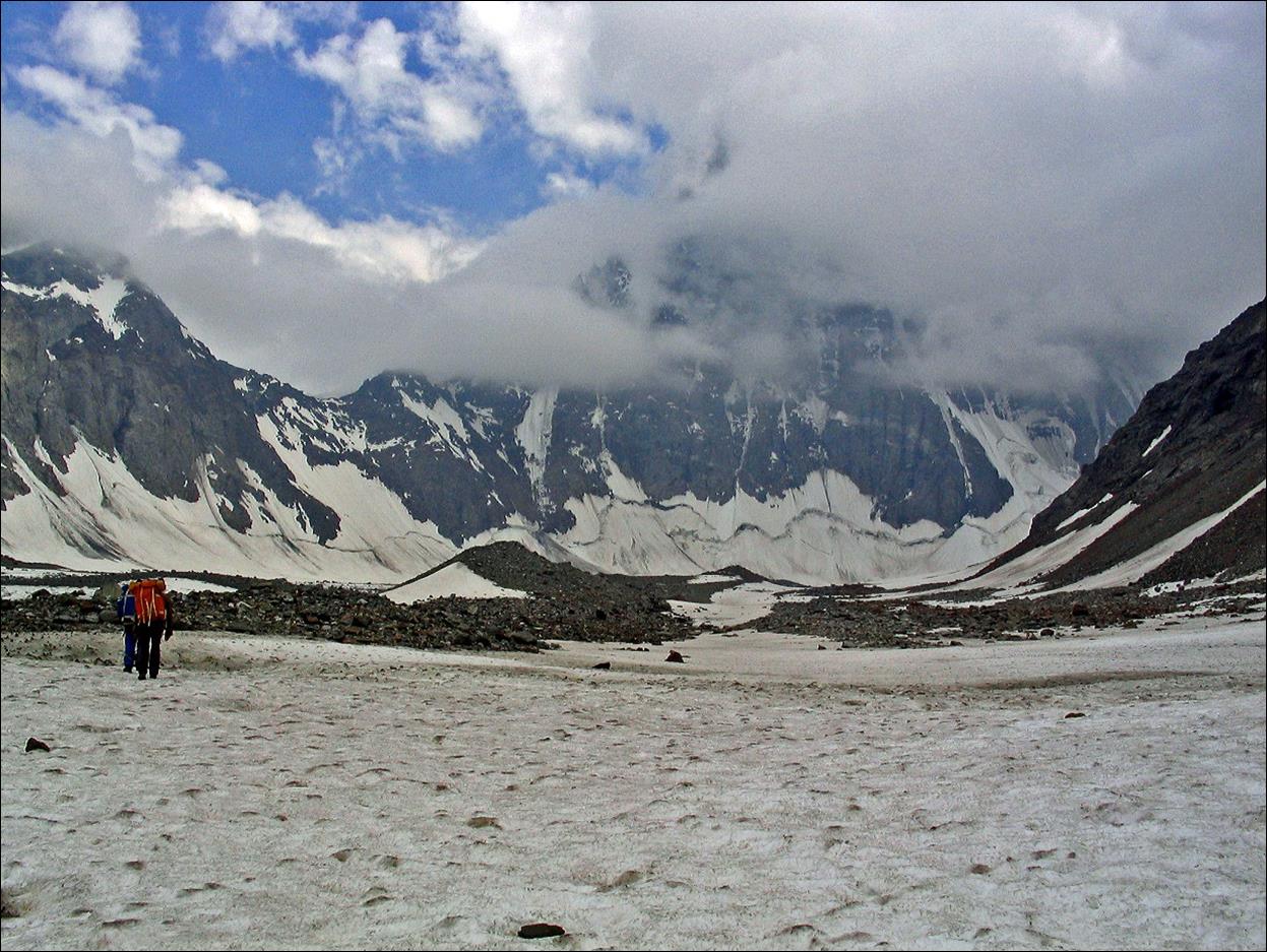
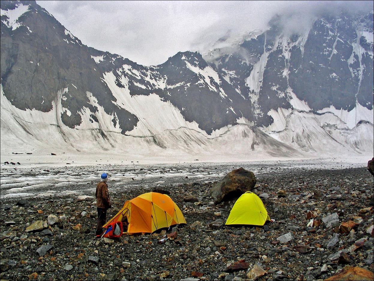
Our
campsite on Kshemysh glacier (photos taken in the
evening and the morning, respectively).
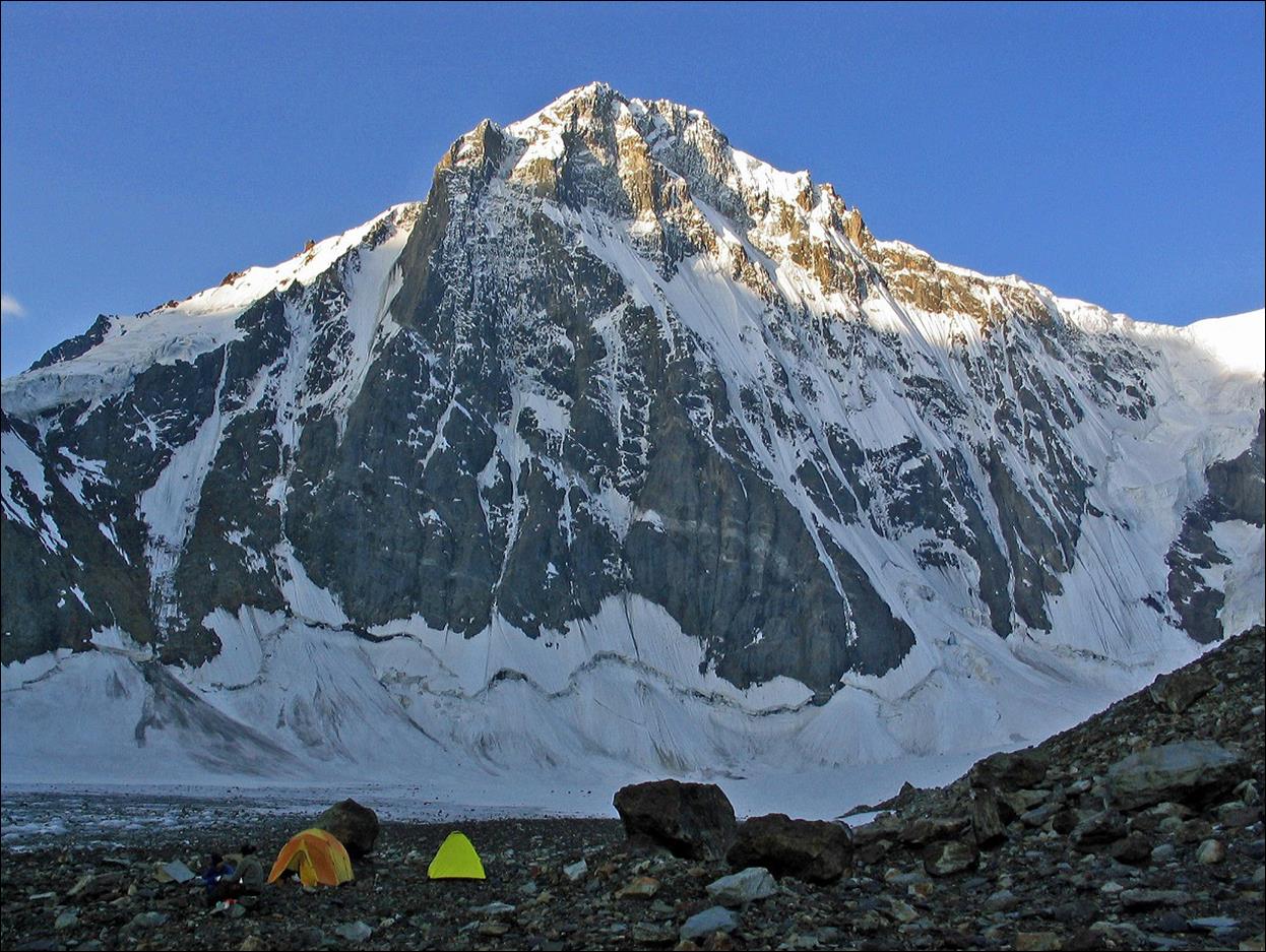
Closer
view of peak Kshemysh Bashi in the morning sun.
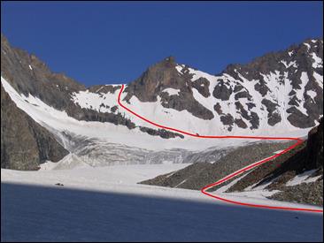
Shurovskogo pass (1.4.1) at 4300m and the route we took on
the right.
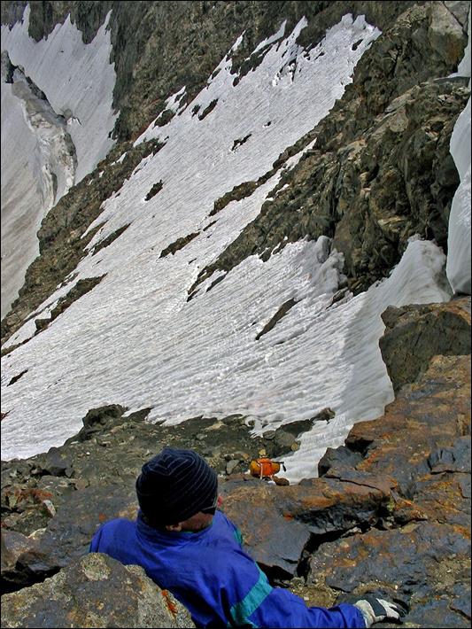
[This pass
is only rated 1B* in the Russian classification system, but turned out a bit
more difficult than expected, mostly due to the poor condition of the snow. We
ended up climbing the rocky part on the right of the pass (4th
grade, with short low-5th-grade sections). We had only 2 ice axes
and one ski pole for the three of us, plus a 30m rope. The rope was not really
needed and we barely used it. The ice axes were very useful on the steepest
snow sections. Crampons would have been useless.]
|
|
|
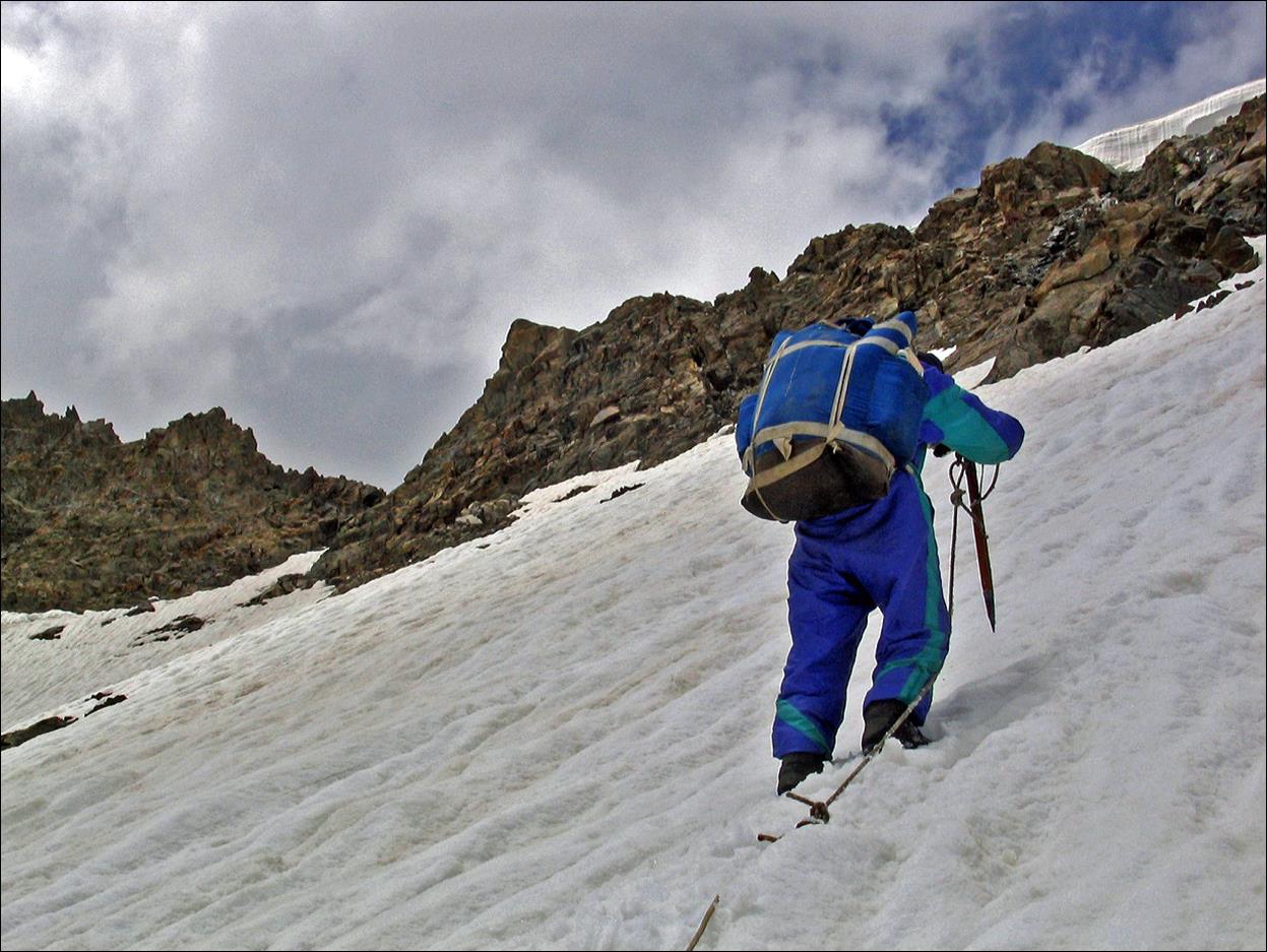
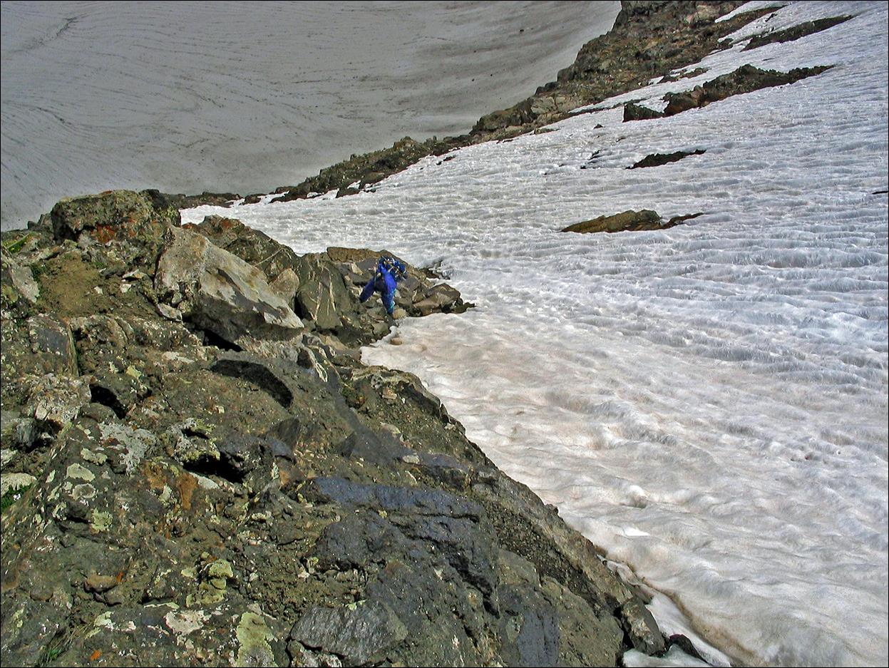
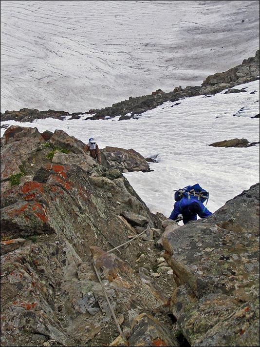
View
of Kshemysh glacier during the ascent of Shurovskogo pass.
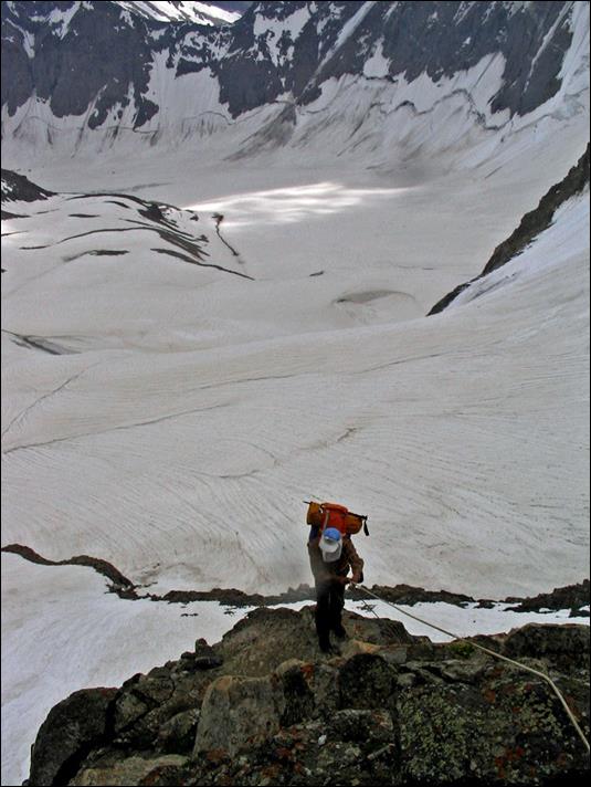
Last
section of the climb of Shurovskogo pass.
|
|
|
|
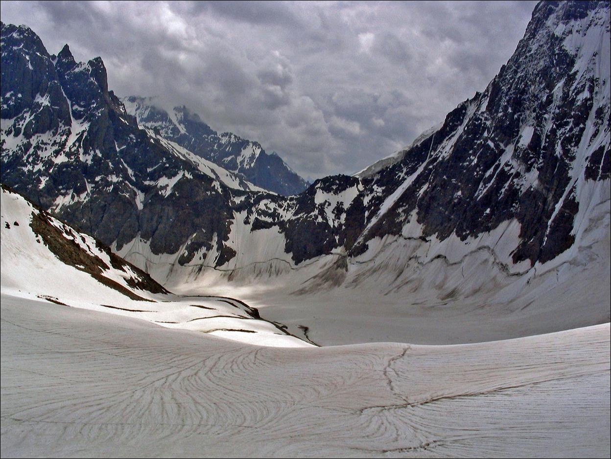
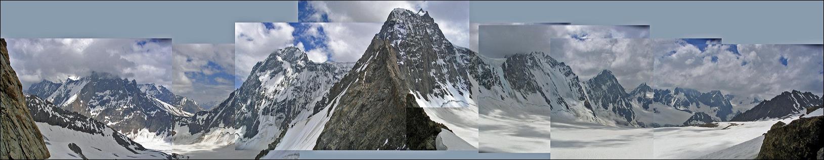
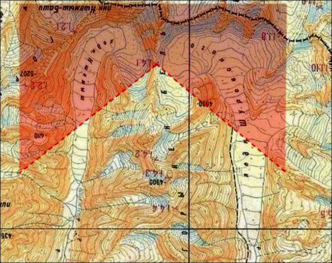
Shurovskogo pass is a truly unique
place. The panoramic view (toward the south) below is a very imperfect attempt
to capture the spectacular scenery from the pass by a collage of photos taken
from the pass and covering approximately a 250dg range, as shown in red on the
following topographic map (in which south points upward, to better match the
photo). The left side of the panoramic view shows the Kshemysh
glacier (located on the east side of the pass) and its right side shows the Shurovski glacier (located on the west side of the pass).
The two glaciers almost touch one another at the pass (1.4.1), which forms a
thin ridge between them. The glaciers originate from two distinct cirques
bounded on their south side by a series of peaks that culminate at 5290m (along
the border with Tajikistan). The glaciers run south to north, and are separated
further north by a series of peaks that culminate at 4900m.
|
|
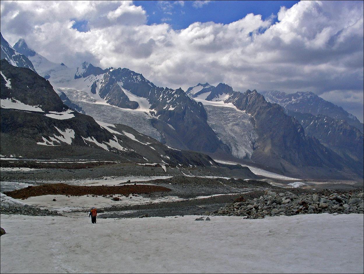
Descending
the Shurovski glacier on the west side of Shurovskogo pass.
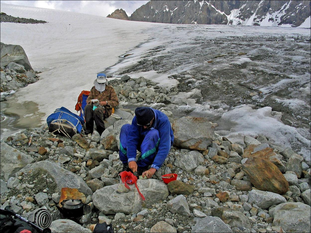
Quick
lunch along the way.
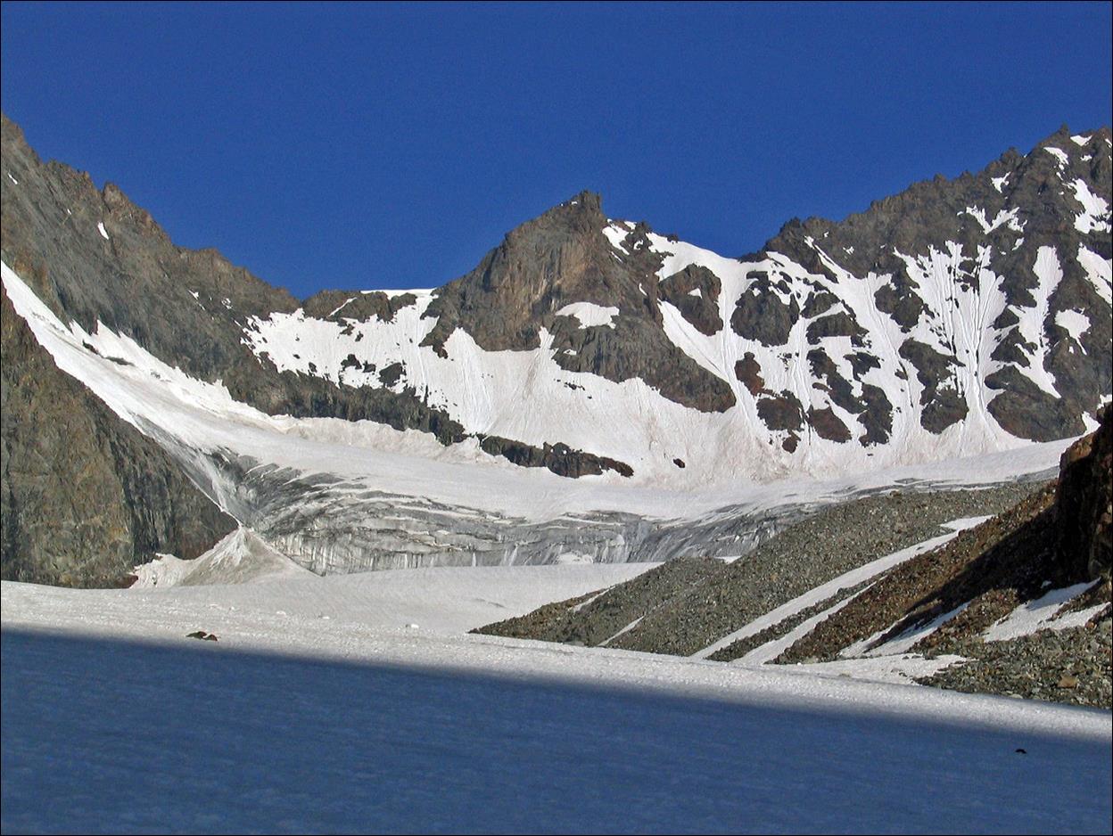
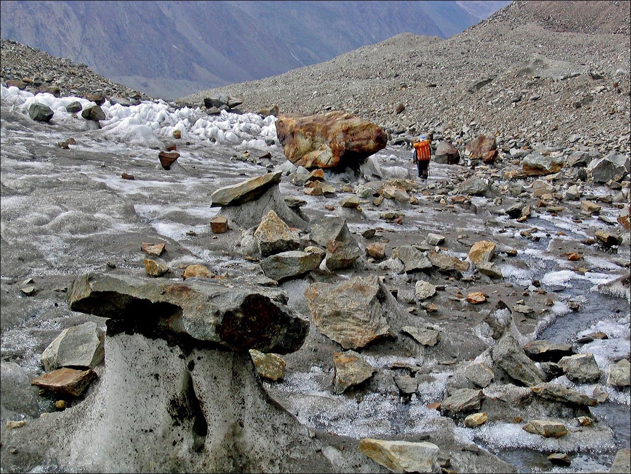
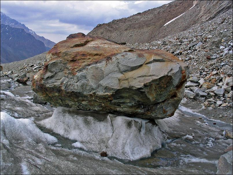
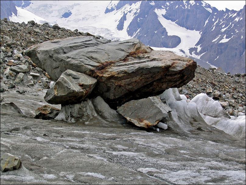
″Mushrooms″
on the lower part of the Shurovski glacier.
|
|
|
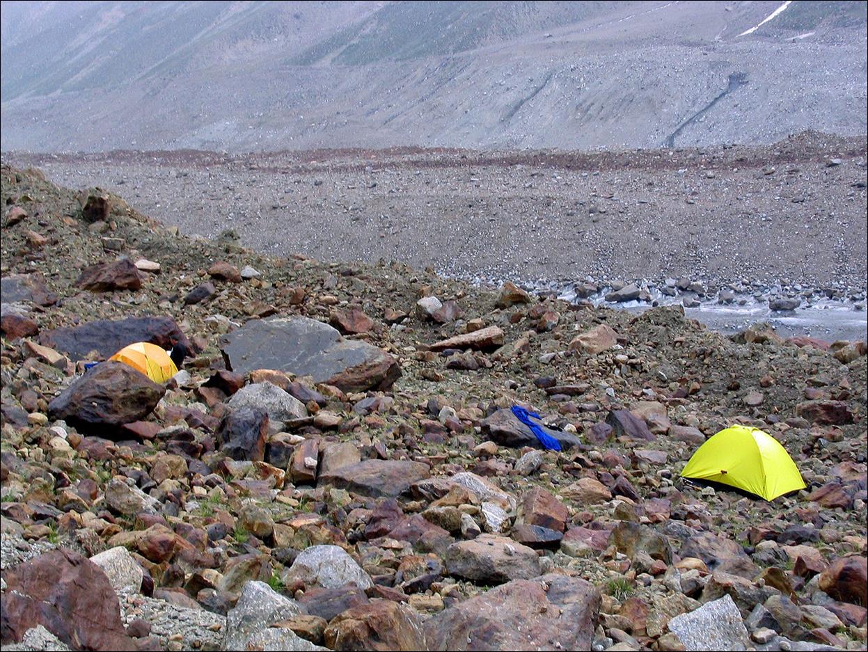
Our
rough campsite at the end of the Shurovski glacier,
prior to ascending Mingteke pass.
Click on the links below to see photos of the
other three sections of the trek:
1.
From Daugman
village to Dvoynoy pass
3.
From
Mingteke pass to Kara-Tur valley
4. From Djiptyk valley to Vorukh enclave
![]()
Return to Central
Asia 2005 main page