Matcha (Kyrgyzstan) ― 2005
![]()
Return to my
mountaineering/trekking/travel webpage
In
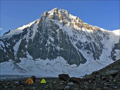
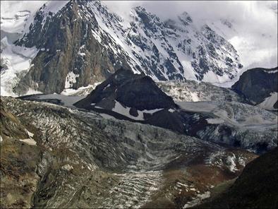
July 2005 I returned to Kyrgyzstan for the third time in a few years. I went to
the Turkestan range, a mountain chain also called Pamir-Alay located at the
very south of
|
|
|
|
|
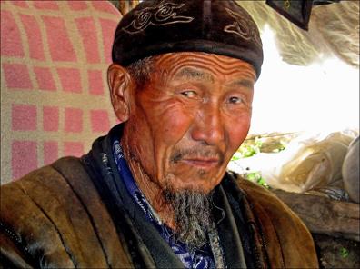
Slava |
Fiodor |
Boris |


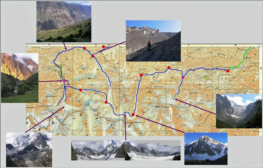
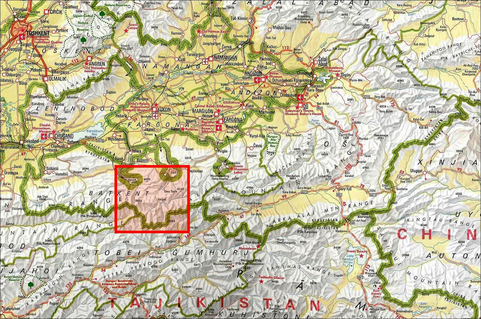
Maps and Itinerary
The first map below
outlines in red the area of our trek. This area is a relatively narrow band
between
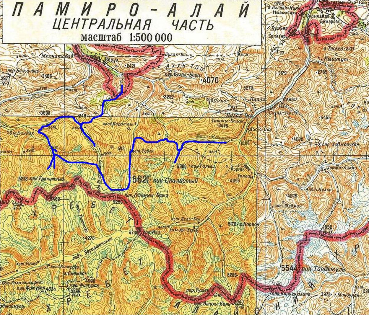
This more detailed map
shows our foot itinerary in blue, as well as the two enclaves.
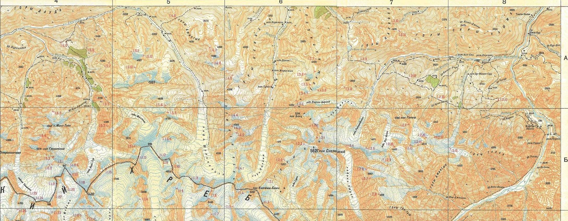
The third map below is a compressed
scan of a 1:100,000 topographic map (click here
for a full-resolution scan, where all passes are conveniently numbered in red).
The blue line shows the itinerary on foot. The green line is the road access to
the start of the trek. The dots indicate the camp sites (red: 1 night; pink: 2
nights).
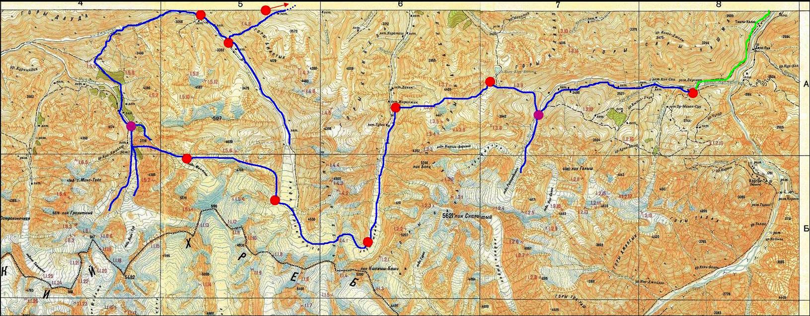
The itinerary starts at
the Daugman village, goes along the Kalai-Mahmud
river, does a side-trip to the impressive Raigorodsky
glacier, traverses Kurdaktyr pass (numbered 1.3.9 on
the full-resolution scan) at 3280m to reach Kara-Kul-Katta lake, reaches Kshemysh river through the double pass Dvoynoy
(1.3.6) at 4090m, follows the Kshemysh glacier to the
reach the spectacular Shurovskogo pass (1.4.1) at
4300m, descends the Shurovski glacier on the other
side of the pass (the Shurovski glacier is at the
high end of the Djiptyk valley that we will reach a
few days later), ascends and crosses Mingteke pass
(1.5.5) at 4180m to reach the Mingteke glacier,
crosses the easy Taksatorov pass (1.5.3) at 3500m to
reach the Kara-Tur valley, does a side-trip to the interesting Kara-Tur
glacier, crosses the gentle Kingdyk pass (1.5.9) at
2740m to reach the lower part of the Djiptyk river,
goes up along this river, ascends the long but easy trail to Djiptyk pass (1.4.8) at 3810m, and finally descends into
the Tajik Vorukh enclave.
Virtual
trek with Google Earth
![]()
Click on the links below
to see photos of the four sections of this trek:
|
1.
Daugman village to Dvoynoy
pass |
|||
|
|
|
|
|
During that trip I also
visited Bukhara. Here
are some photos
![]()