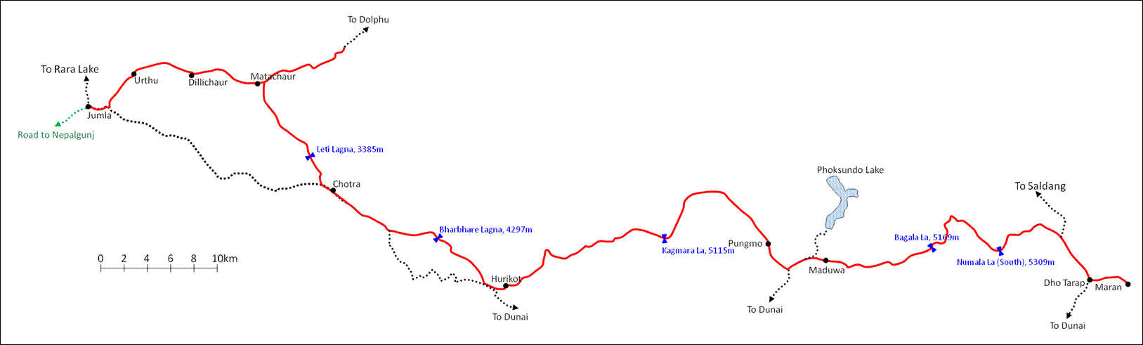
Traverse of Dolpo (July 2012): 1.
Nepalgunj to Matachaur
![]()
Nepalgunj is
the ″hub″ for flying to many remote towns and villages in western
Nepal. It is located in southern Nepal, on its border with India. Like most
towns in the lowlands of Nepal, it is not especially attractive: it is hot,
humid, and infected with mosquitoes. The early flight from Kathmandu to
Nepalgunj on July 6 was on time. However, the weather turned bad in late
morning and stayed bad for several days. All local flights were canceled. After
waiting for several days in a guesthouse besides Nepalgunj′s airport,
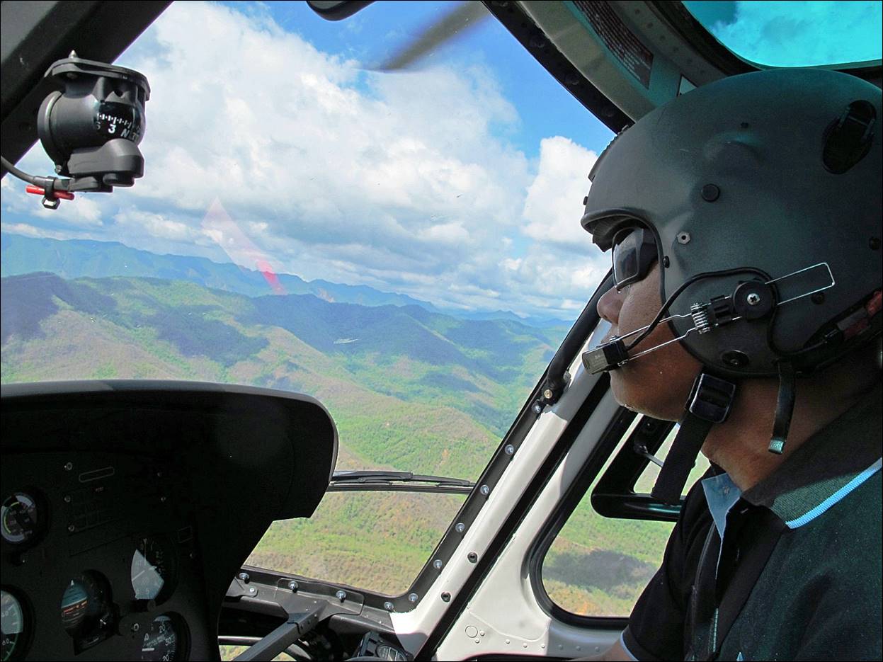
Dawa and I decided to charter a locally available helicopter with local
travelers. We flew to Jumla on July 9 in the
afternoon.
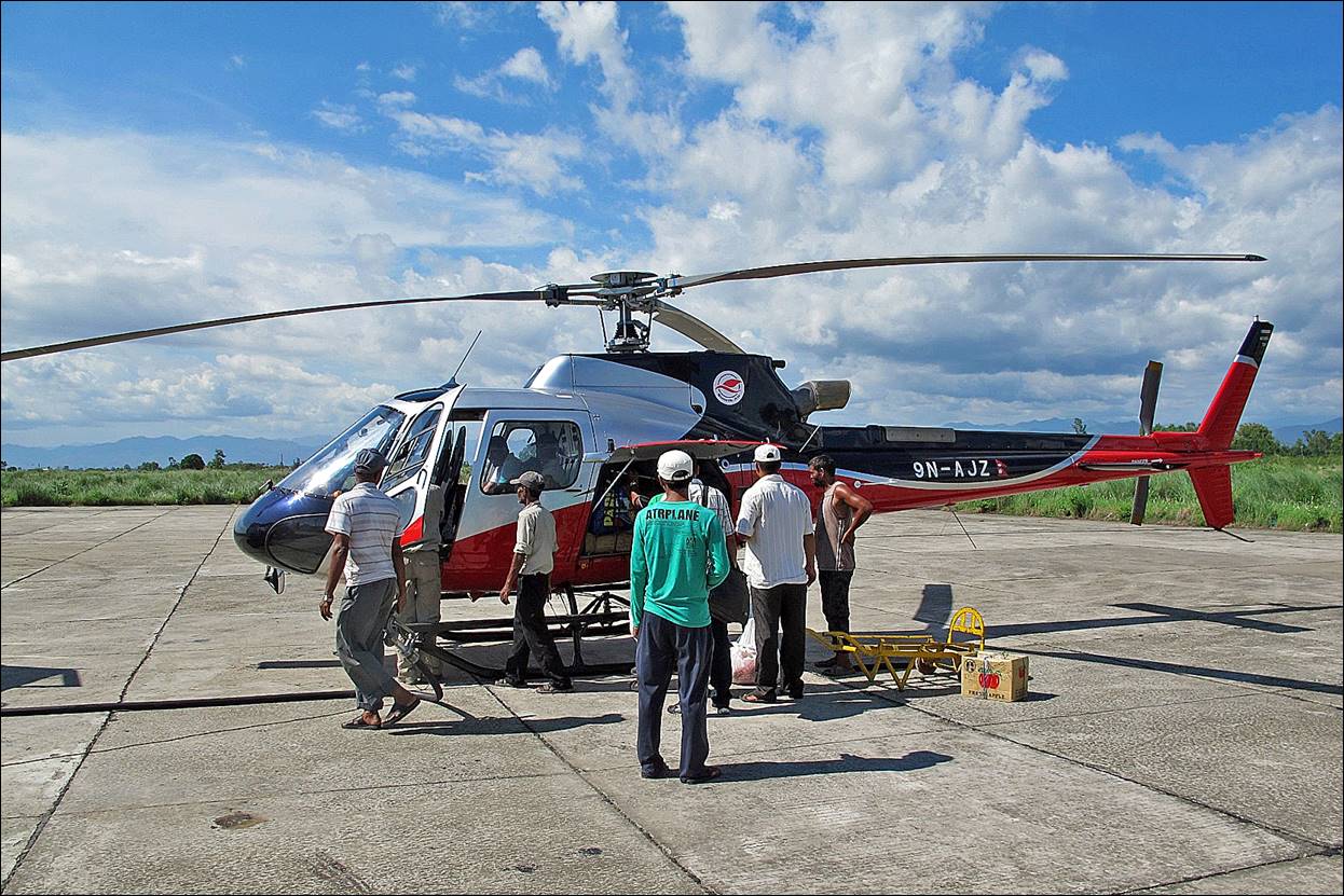
The helicopter
(an Alouette) on the tarmac of Nepalgunj′s airport.
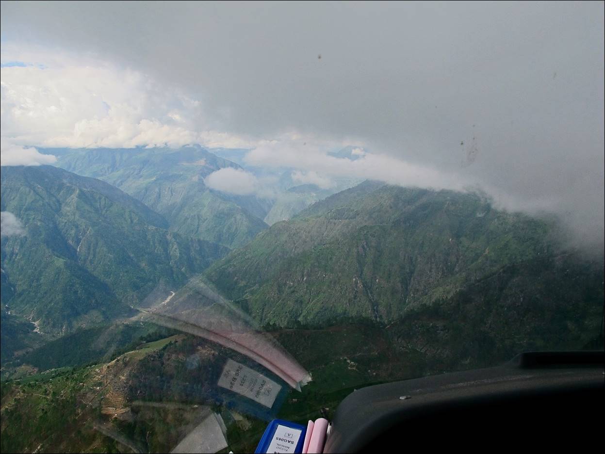
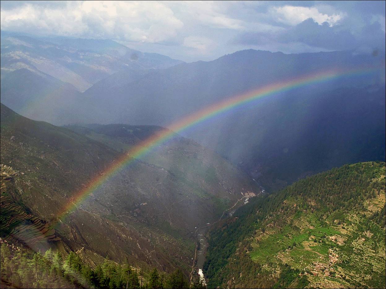
As we took off
from Nepalgunj we got nice views of the Terai plain of southern Nepal.
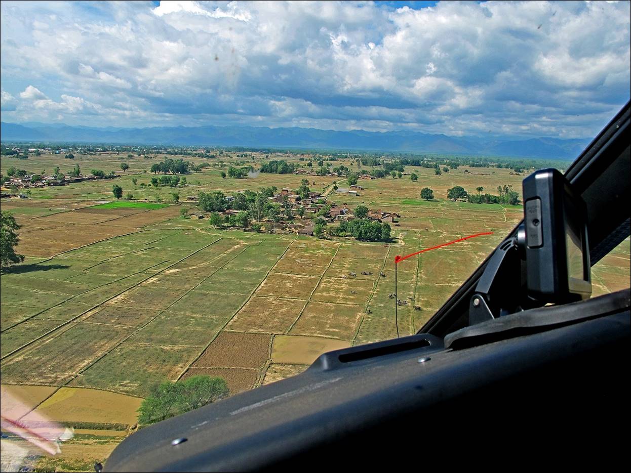
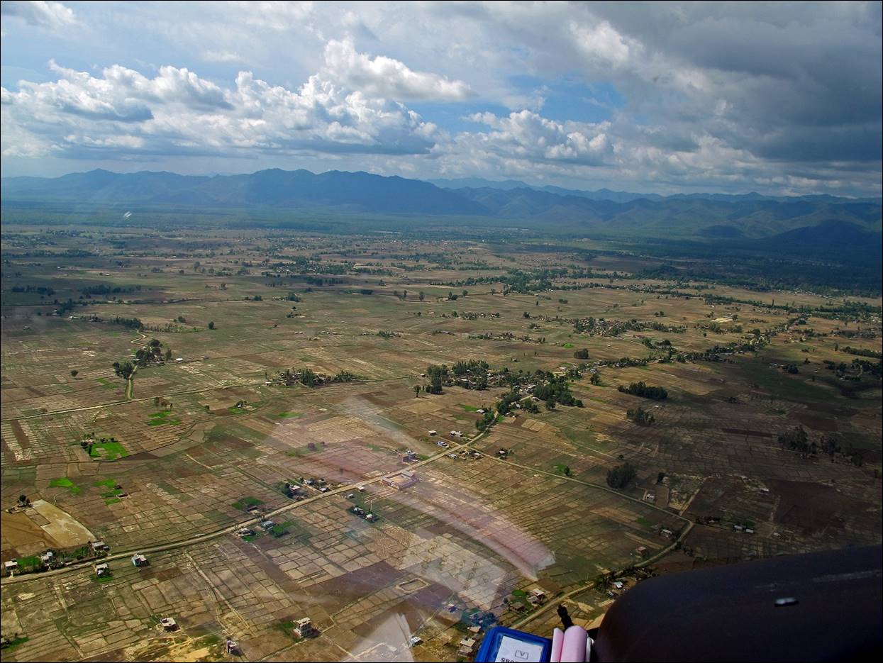
Views during the flight.
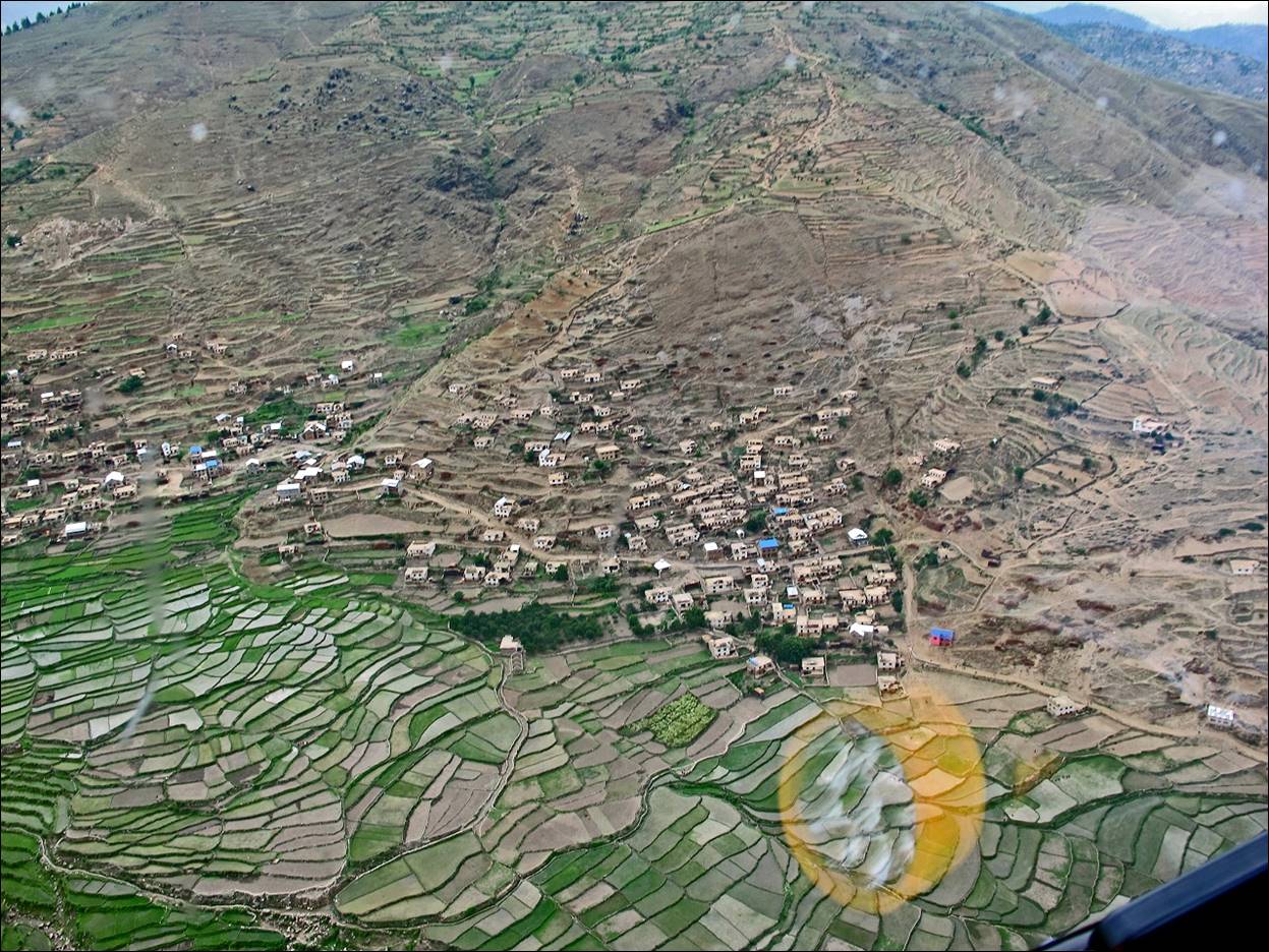
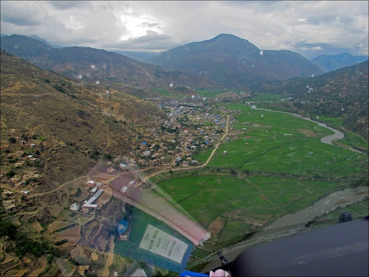
Approaching Jumla: the airstrip is visible at the center of the photo
beyond the town.
We started
hiking immediately after landing in Jumla and sorting
gear and food.
Urthu, the first village encountered after leaving Jumla.
During that first day of trek, the weather had been quite sunny.
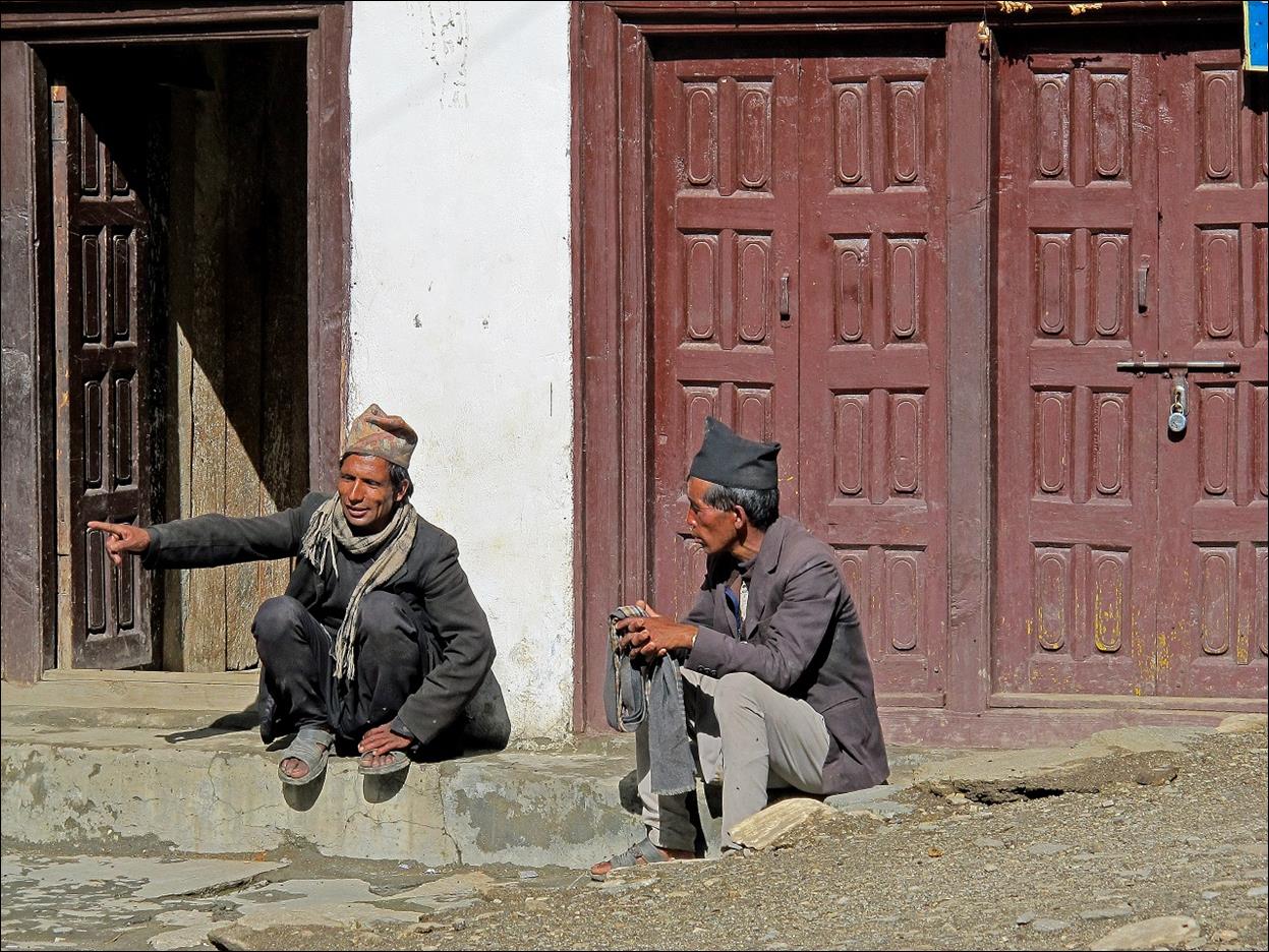
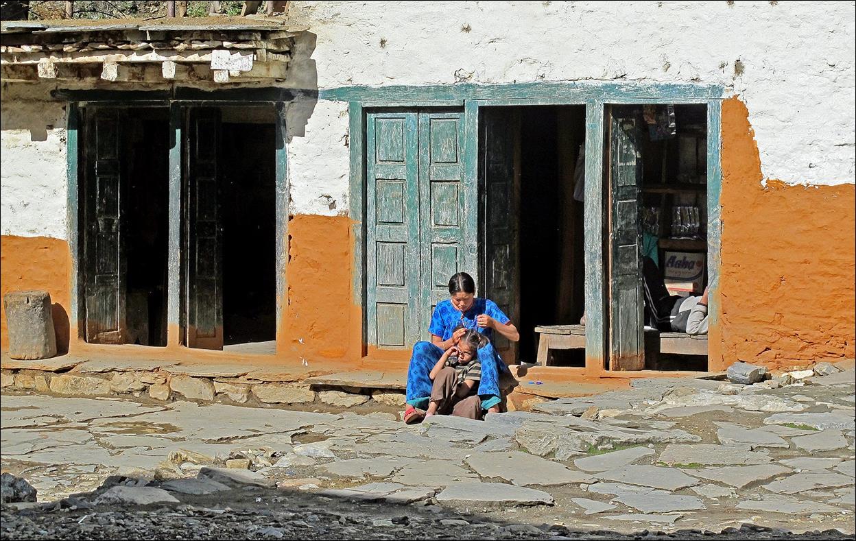
Street scenes
in Urthu.
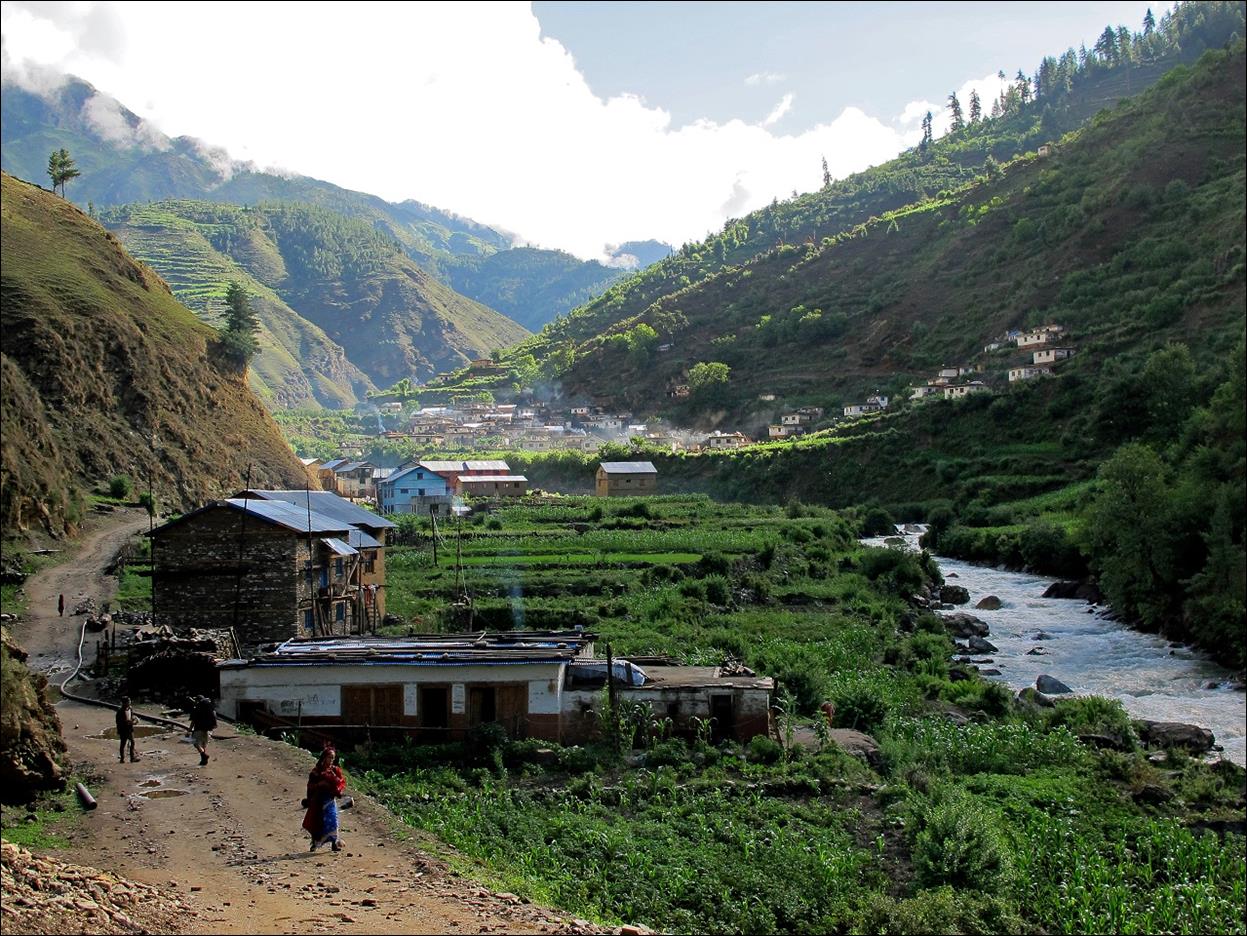
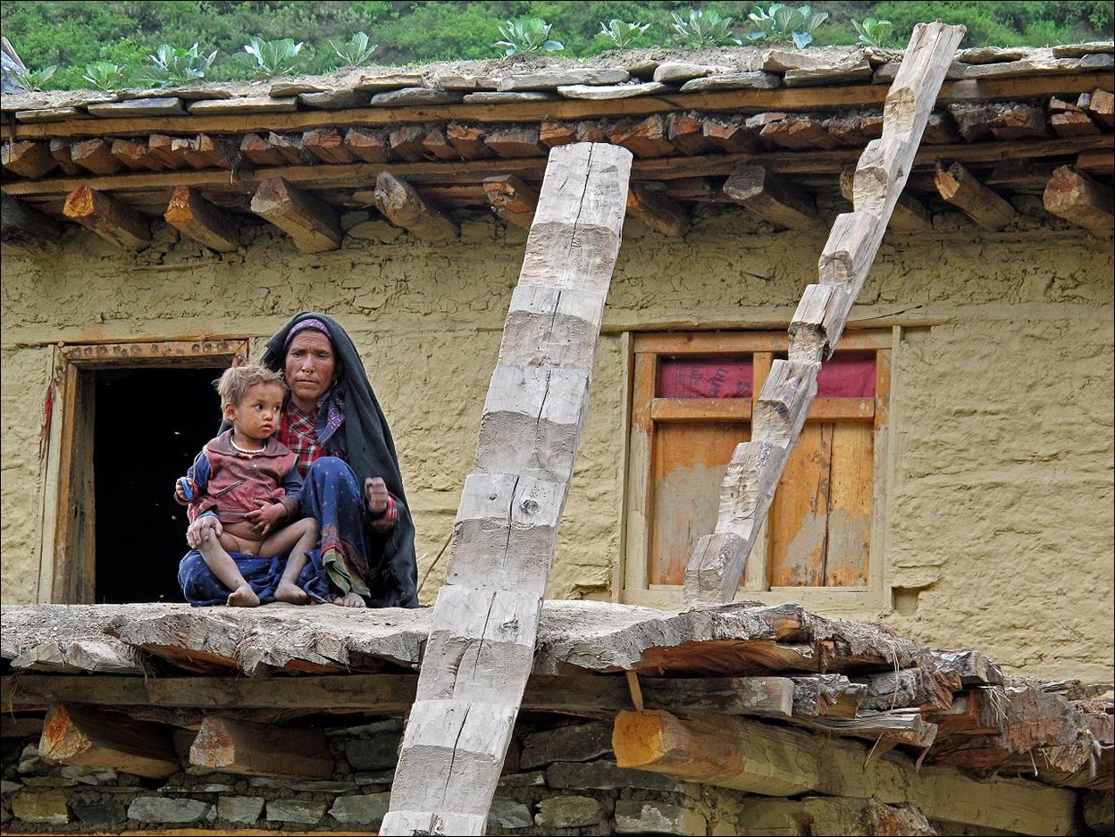
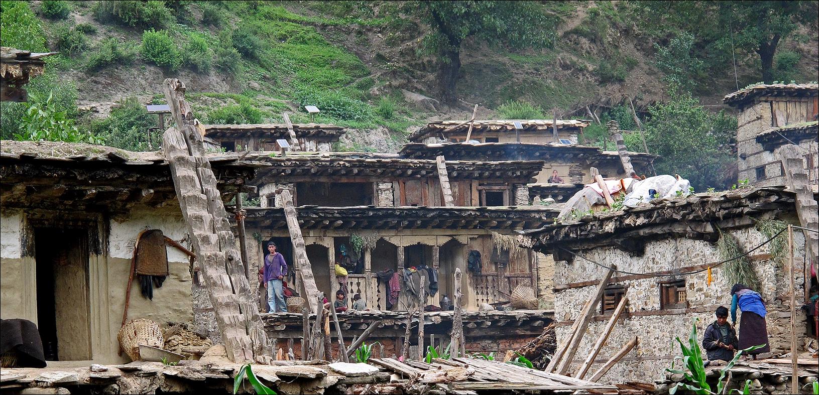
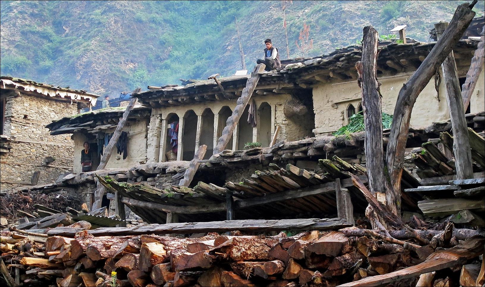
A village
further along the way, with its numerous ladders to move among houses.

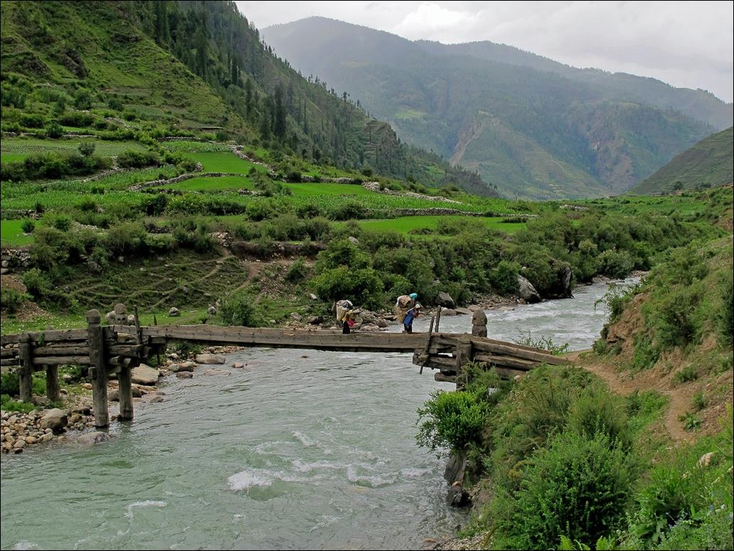
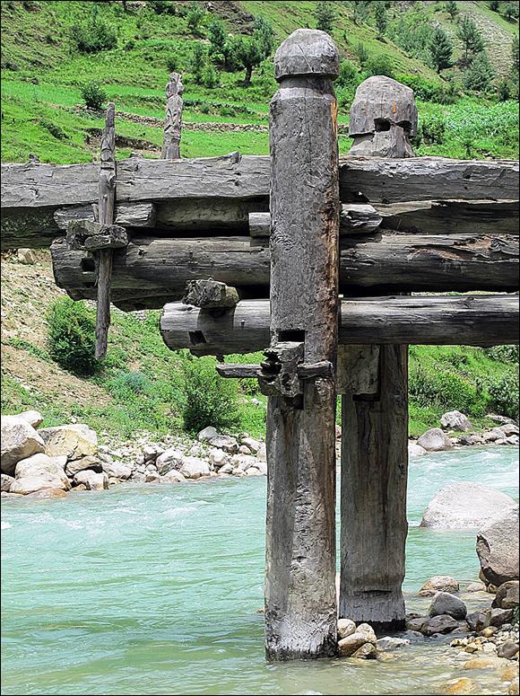
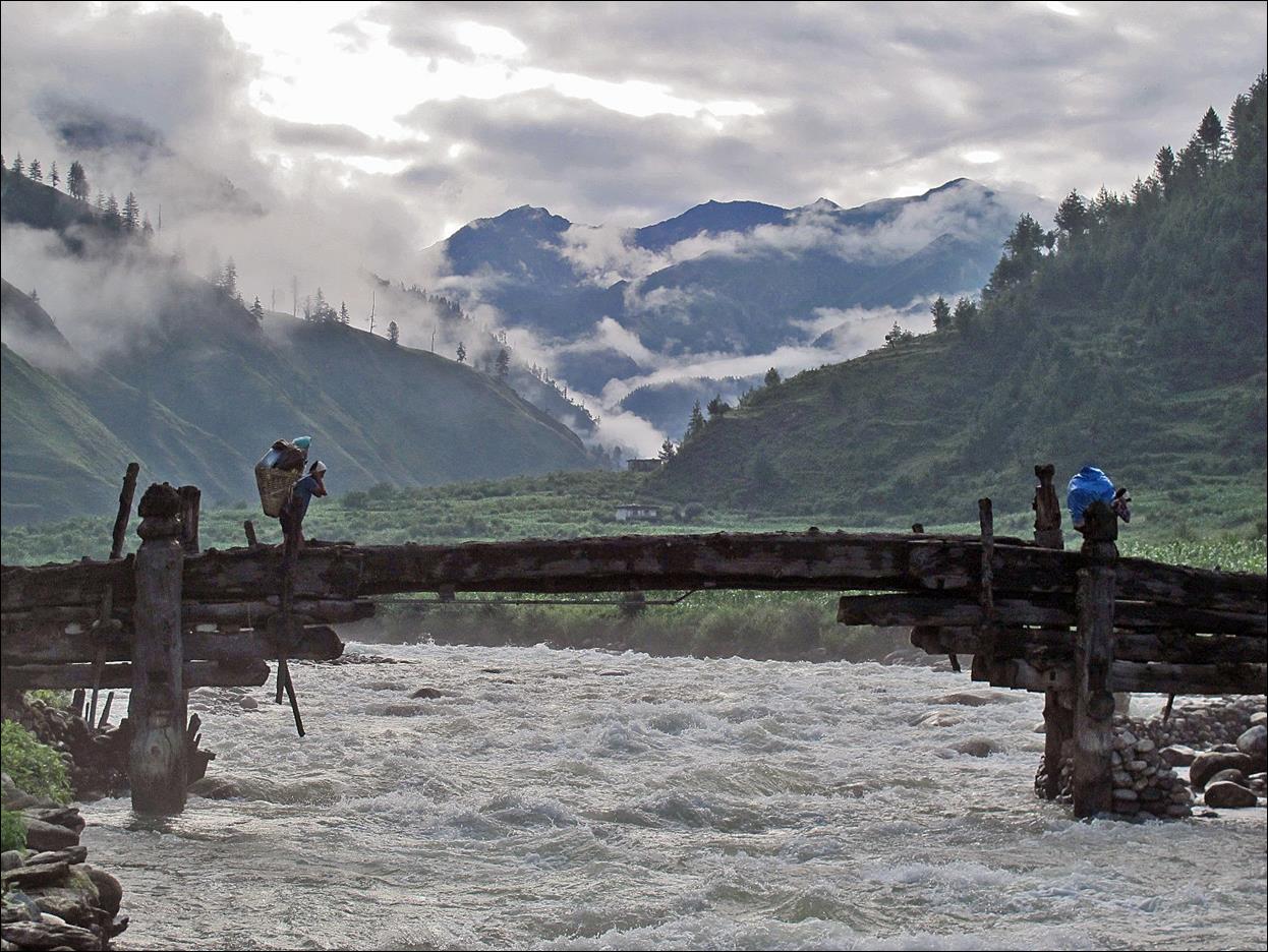
Bridges in
this part of Nepal are built with unusually large logs.
|
|
|
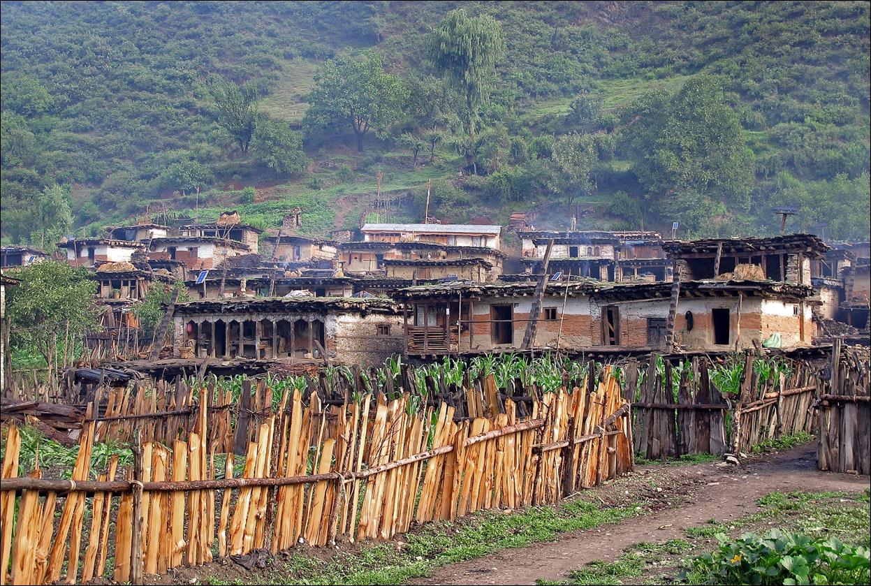
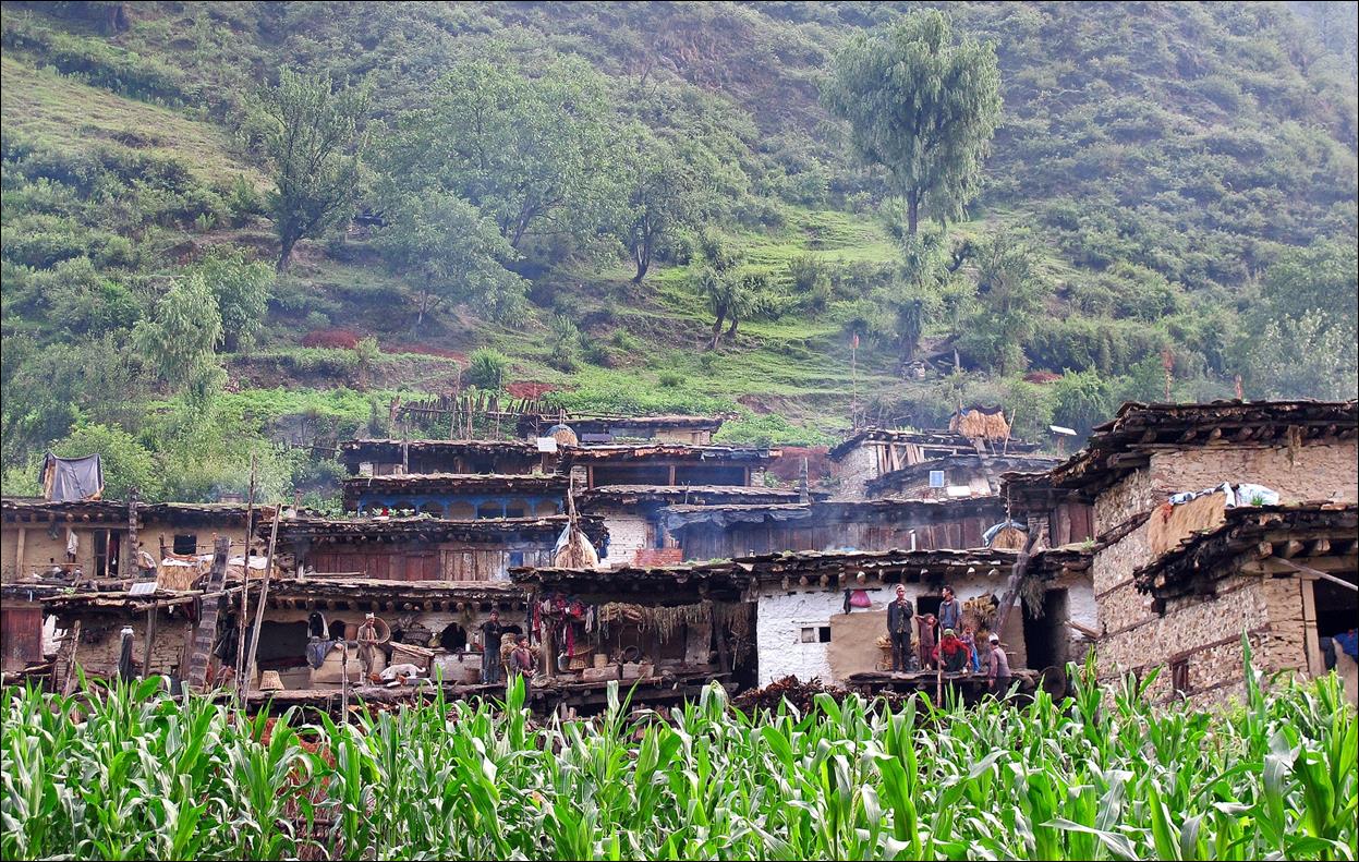
Matachaur, where we spent our first night, is the last
village in its valley. It is a densely built village surrounded by corn fields.
It is mostly populated by Hindu people.
On the next day, we followed the Chaudhabis Khola (picture below) with the goal to reach the village of
Dolphu several days further to the North. However,
the weather turned very bad again, with heavy rains. Our progress along the
river was quite slow. In the afternoon it became clear that, by following this
path, we would not have enough time to reach Jomson
within the time I had allocated for this trip. So, I decided to turn back,
return to Matachaur, and, instead, follow the shorter
itinerary shown on the maps of the Dolpo 2012 homepage. For the next 4 days, I took very
few photos due to frequent rains and poor visibility (and also disappointment).
It is only when we got close to Phoksundo Lake that
we encountered some good weather again.
![]()
Links to other
sections:
―
Section 2: Matachaur to Tibetan camp above Maduwa
―
Section 3: Crossing
Bagala La and Numala La
―
Section 4: Dho Tarap Valley
―
Section 5: Maran
to Charkkha Bhot
―
Section 6: Chharka Bhot to Jomson
![]()