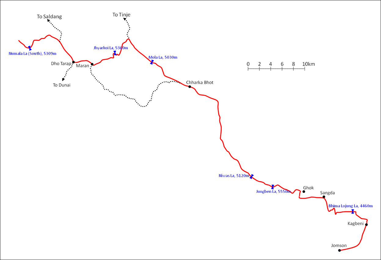
Traverse of Dolpo (July 2012): 6. Chharka Bhot to Jomson
![]()
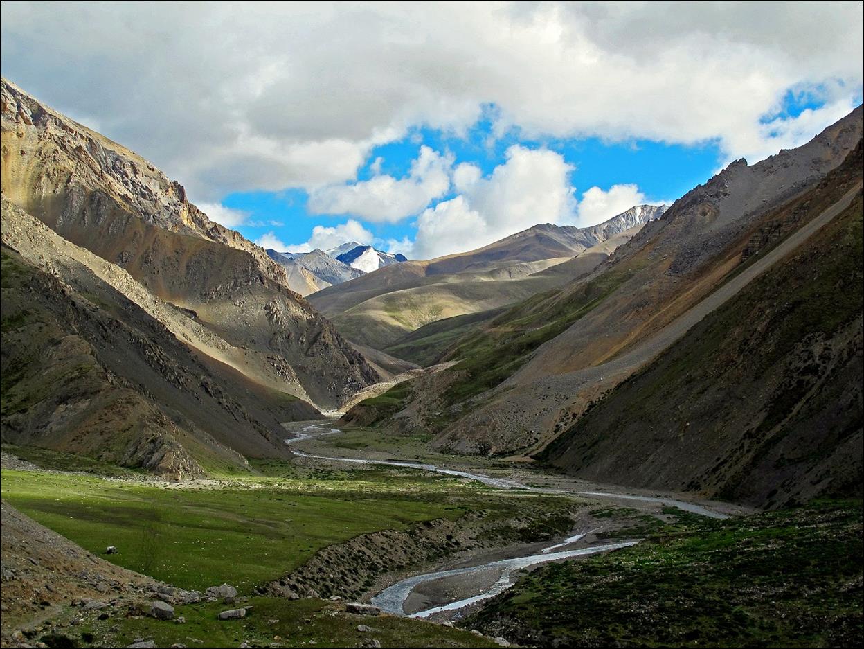
Valley of Thasan Khola above Chharka Bhot.
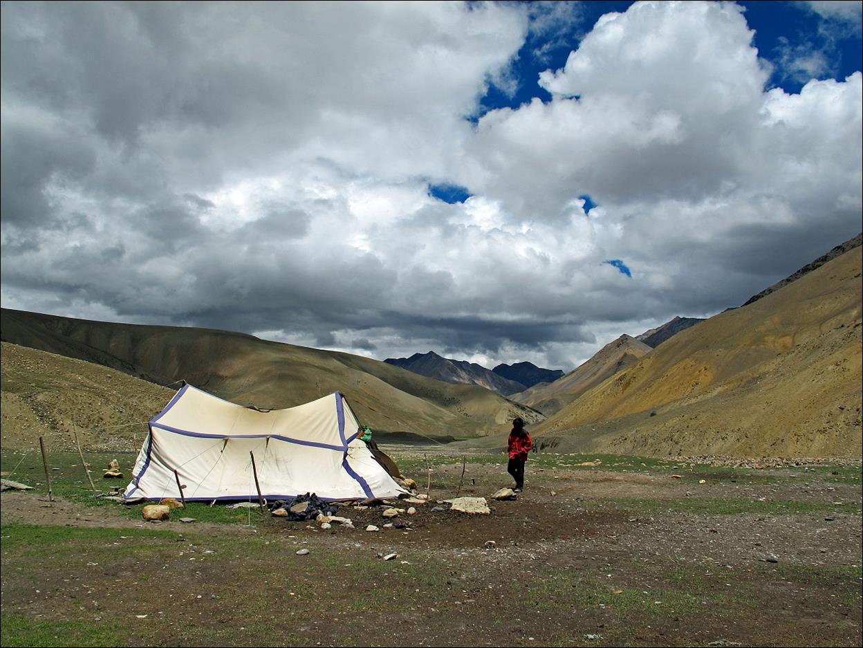
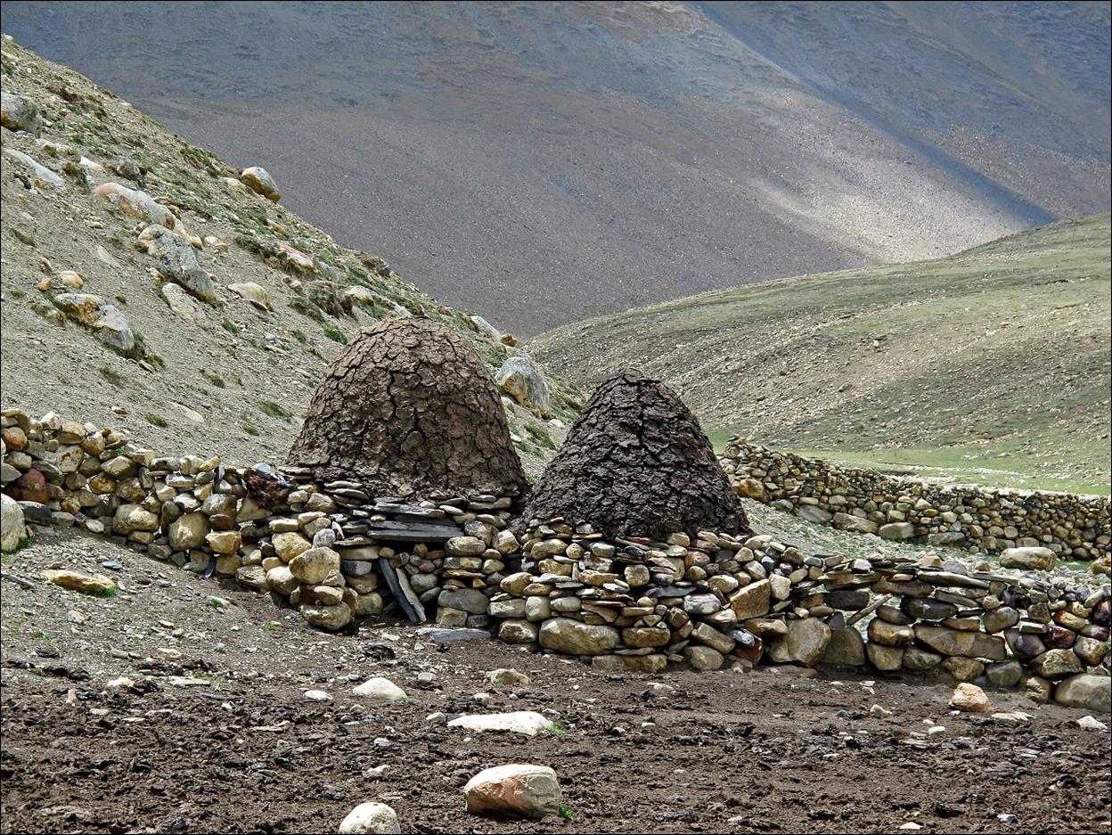
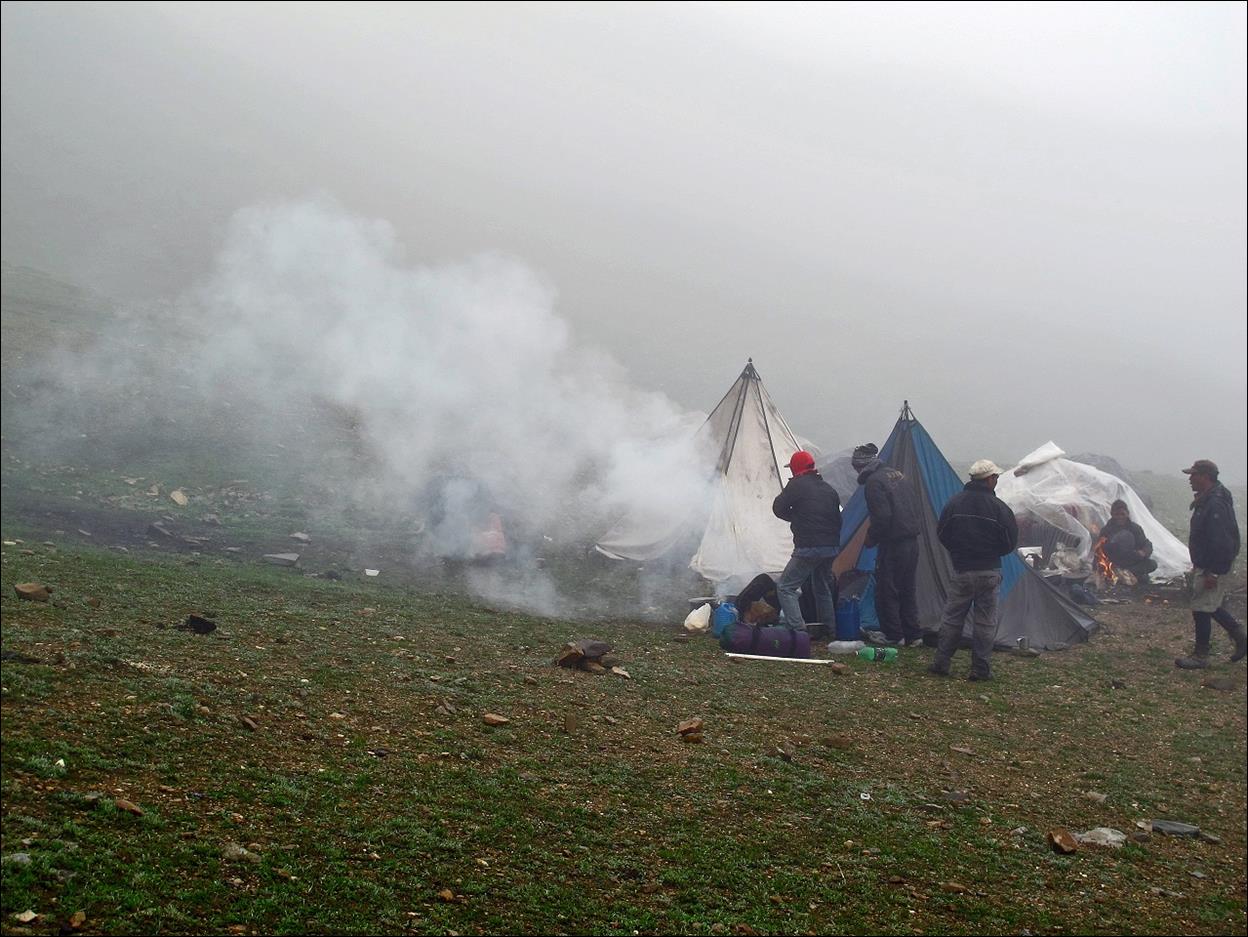
At a herder
camp below Niwas La.
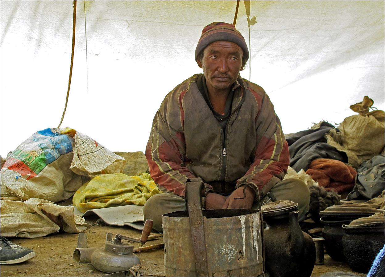
″Bells″
of mud used to dry yak dung inside.
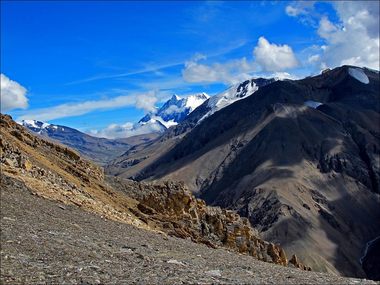
Niwas La, a very gentle pass.
View during the
ascent of Jungben La.
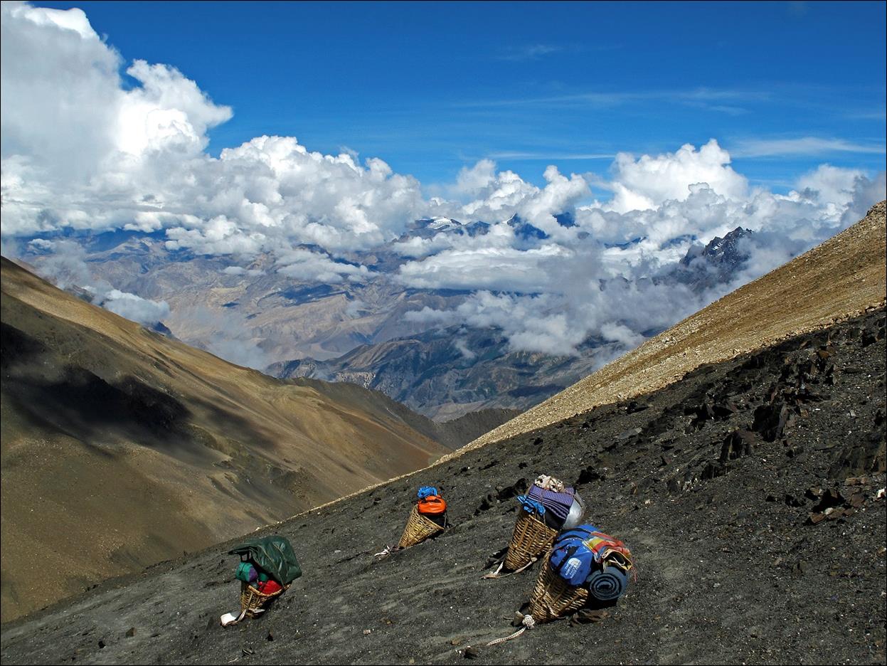
Final push
toward Jungben La.
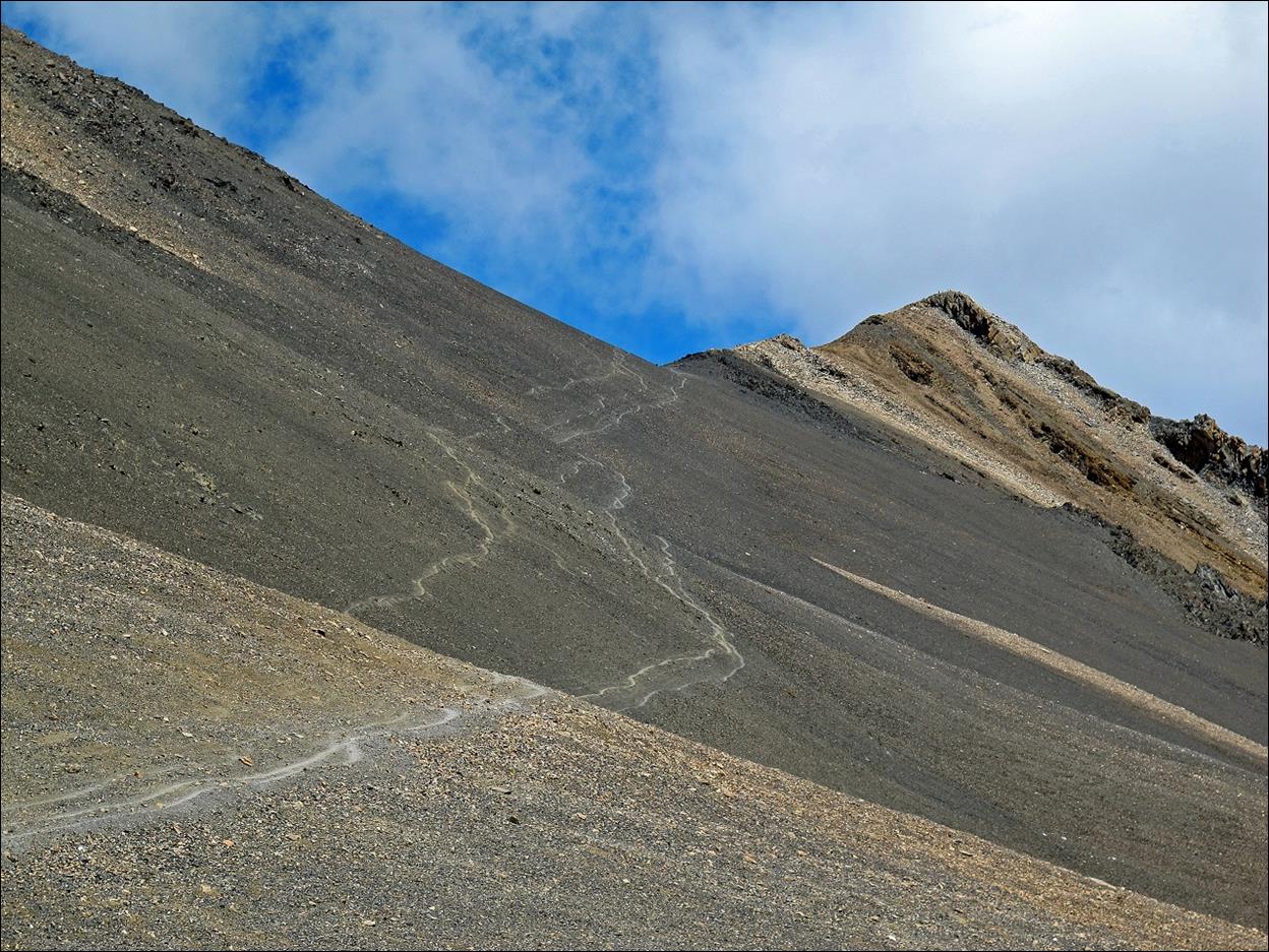
Looking back
to our path just before reaching Jungben La.
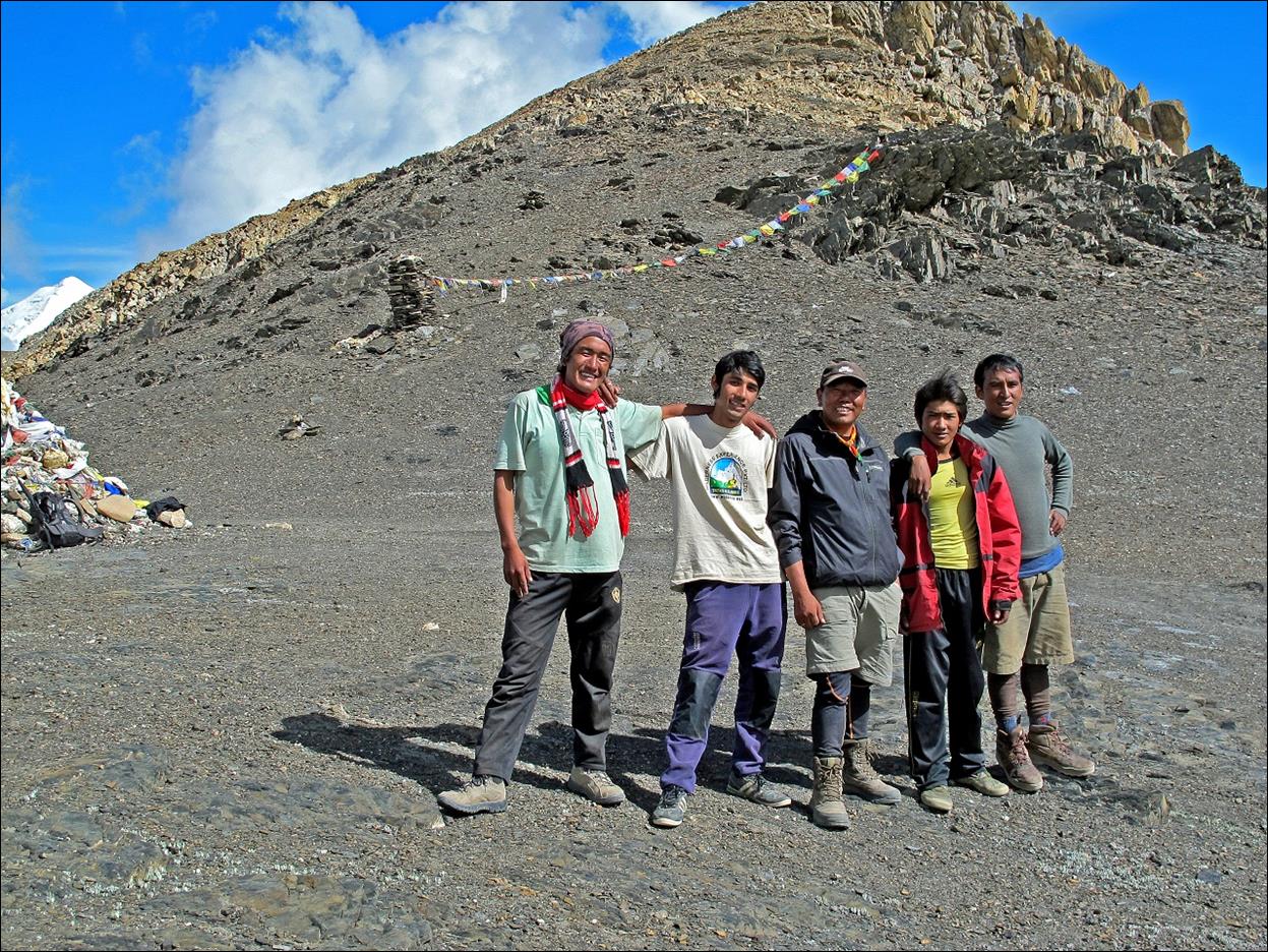
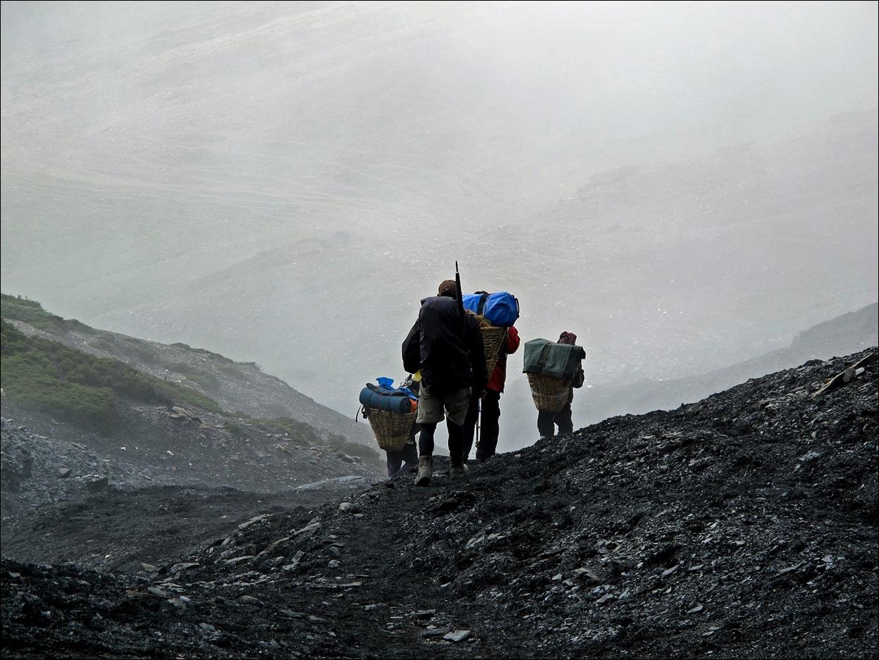
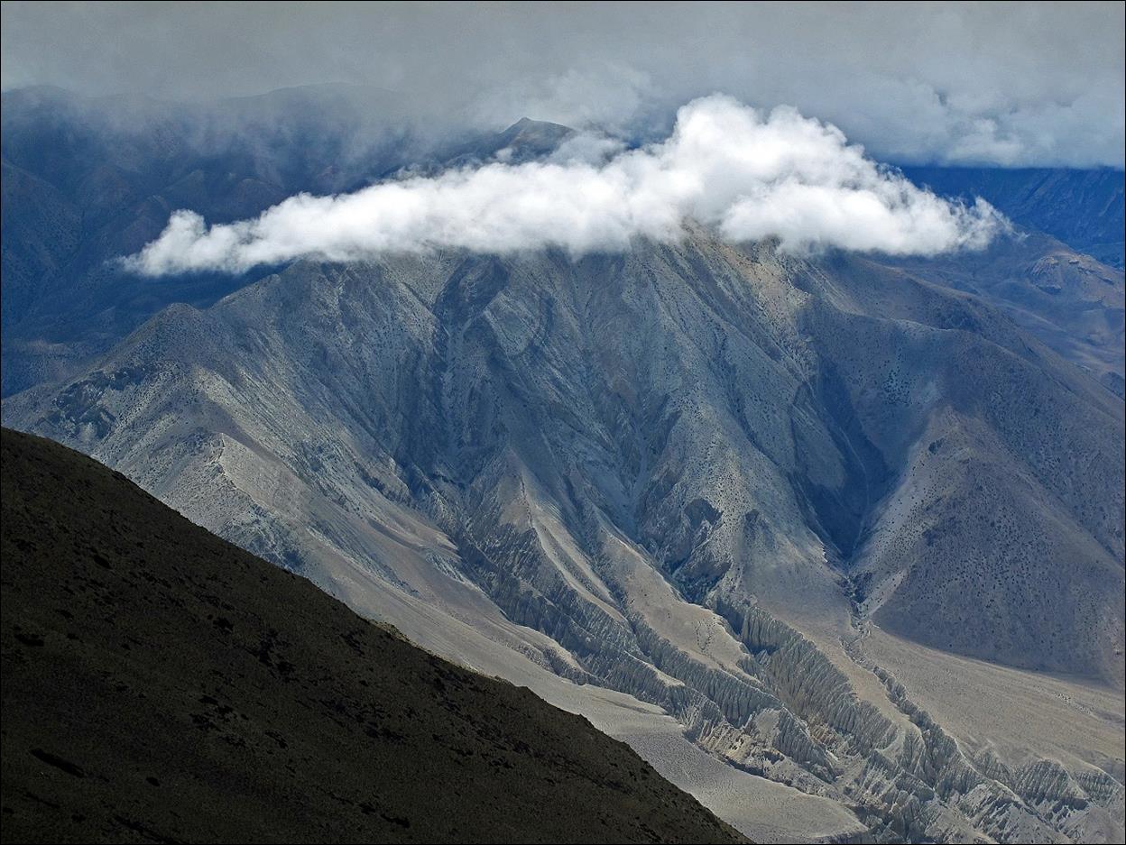
Dawa and the
four porters at Jungben La. At 5550m it was still
quite warm.
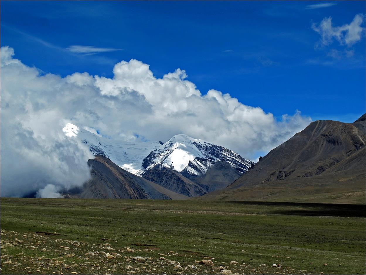
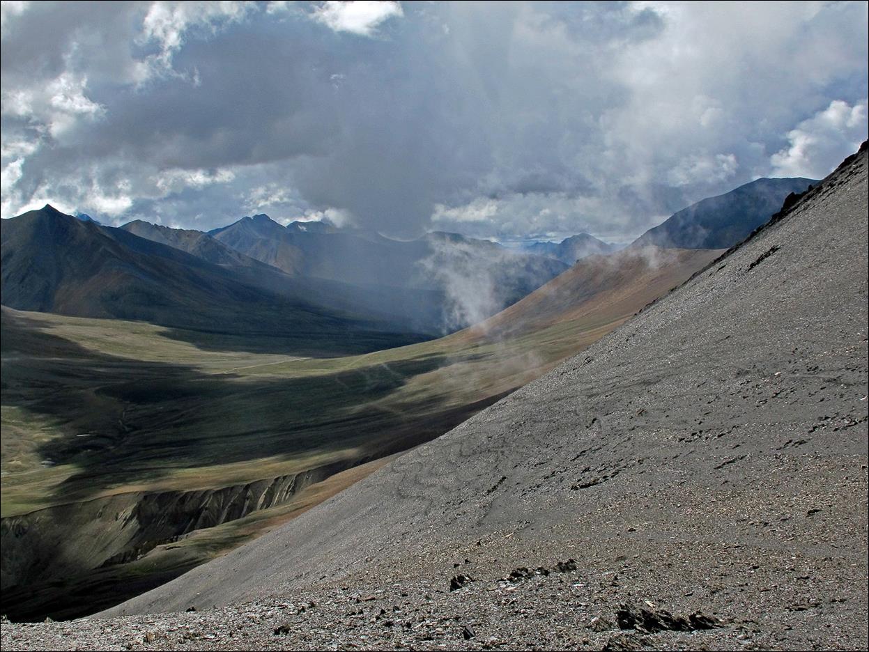
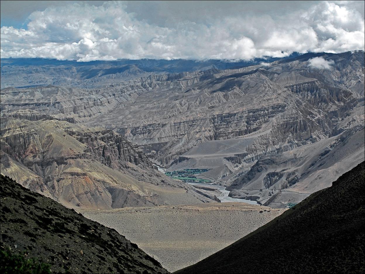
Looking down
from the pass, toward Mustang.
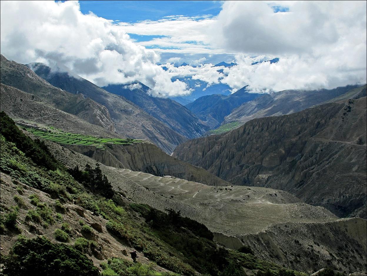
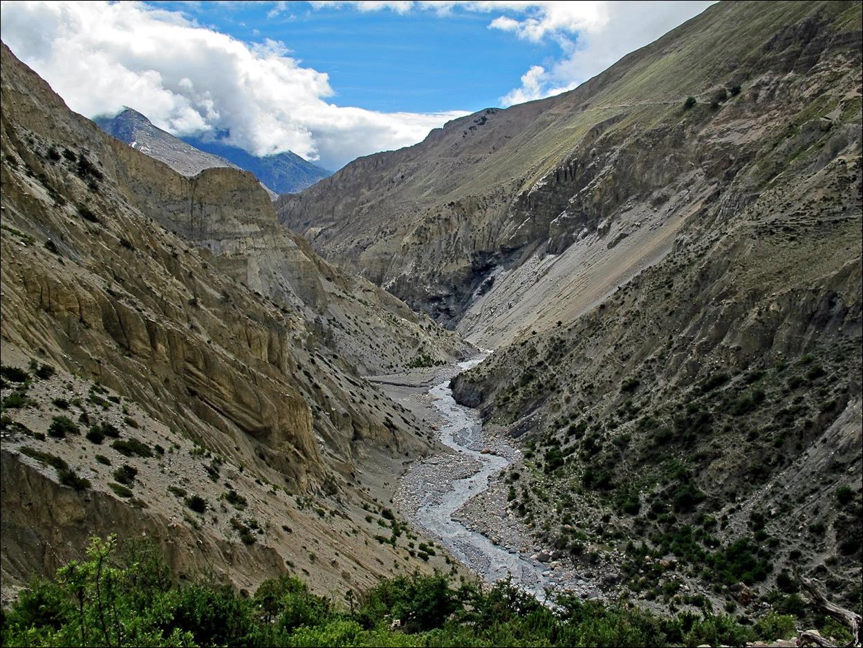
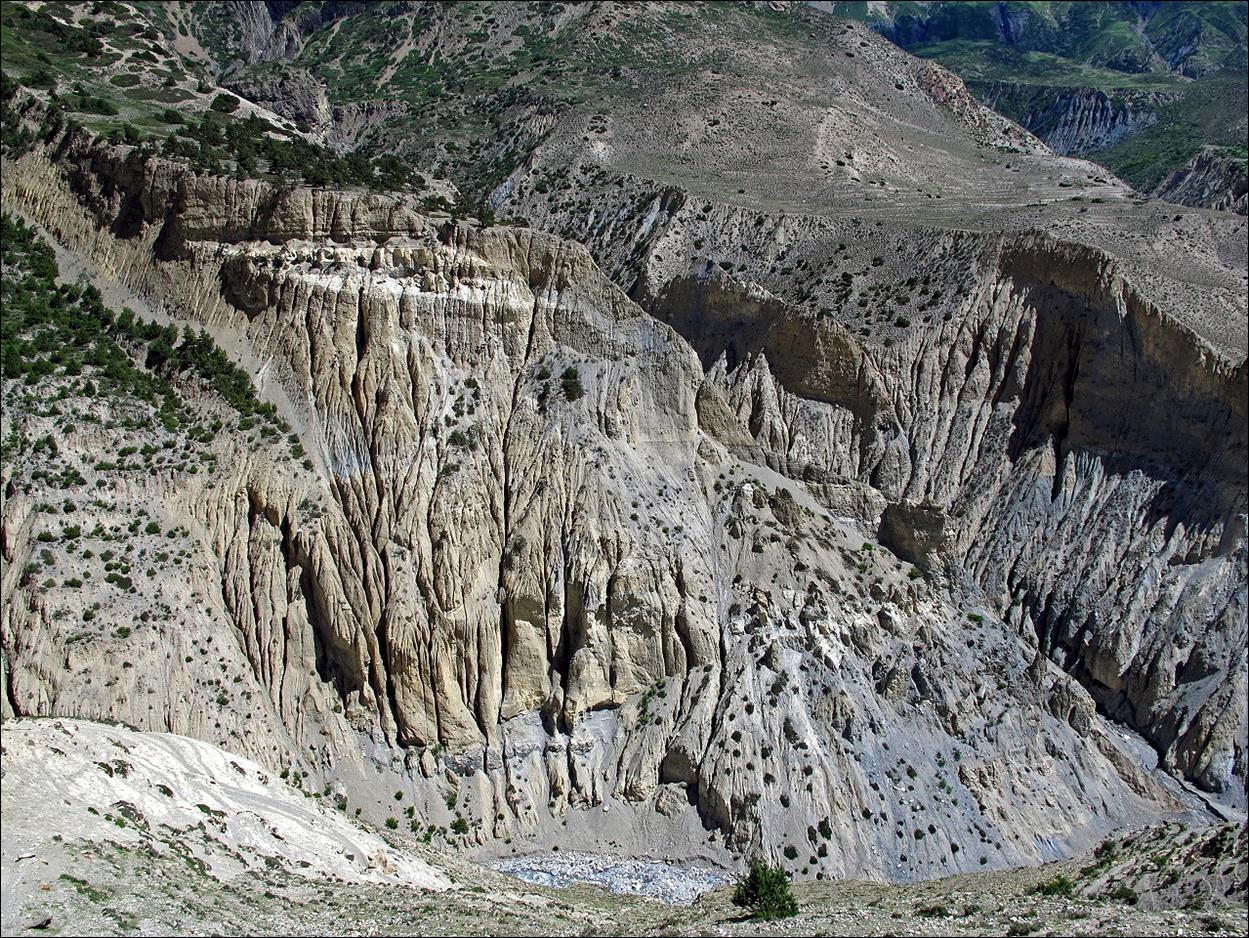
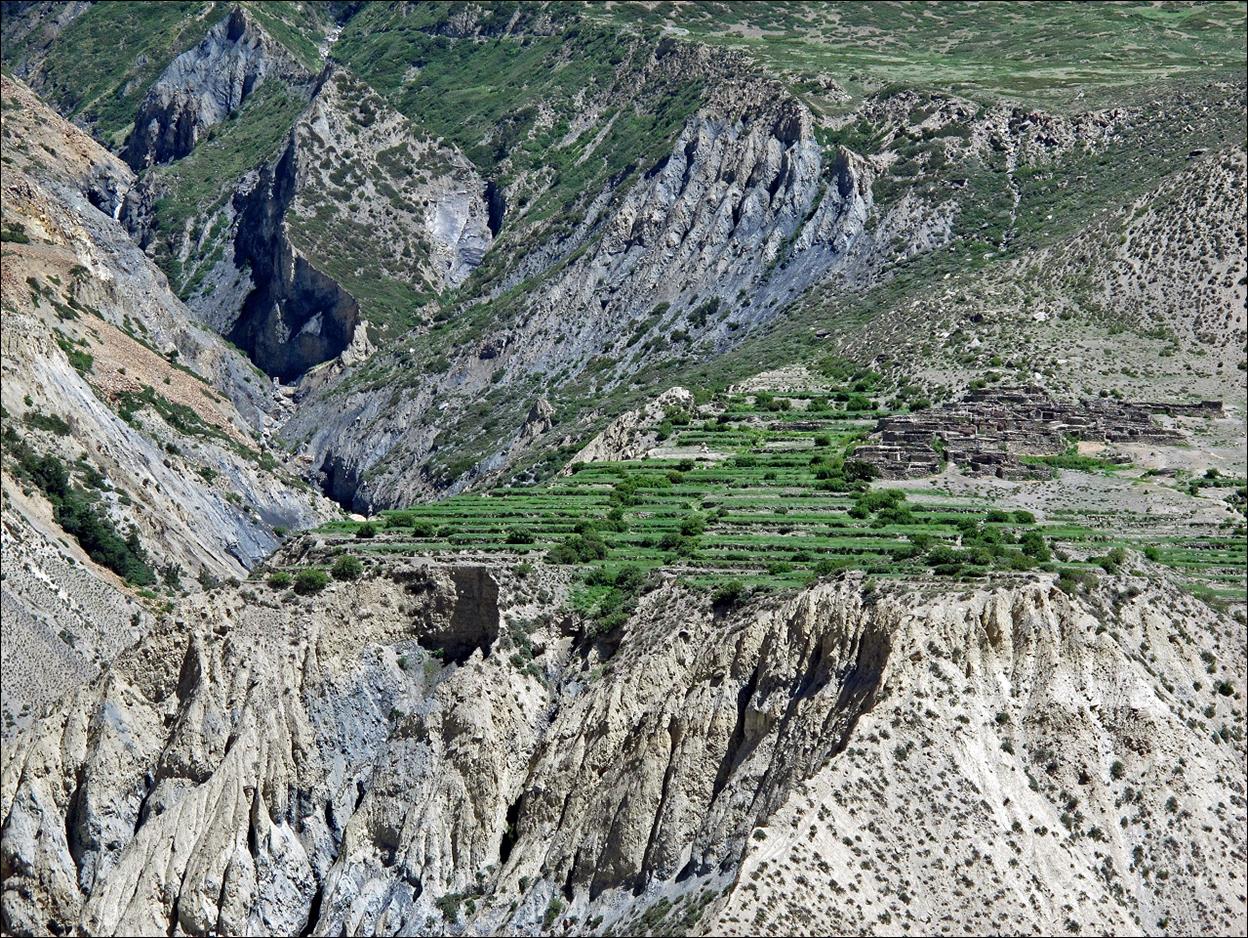
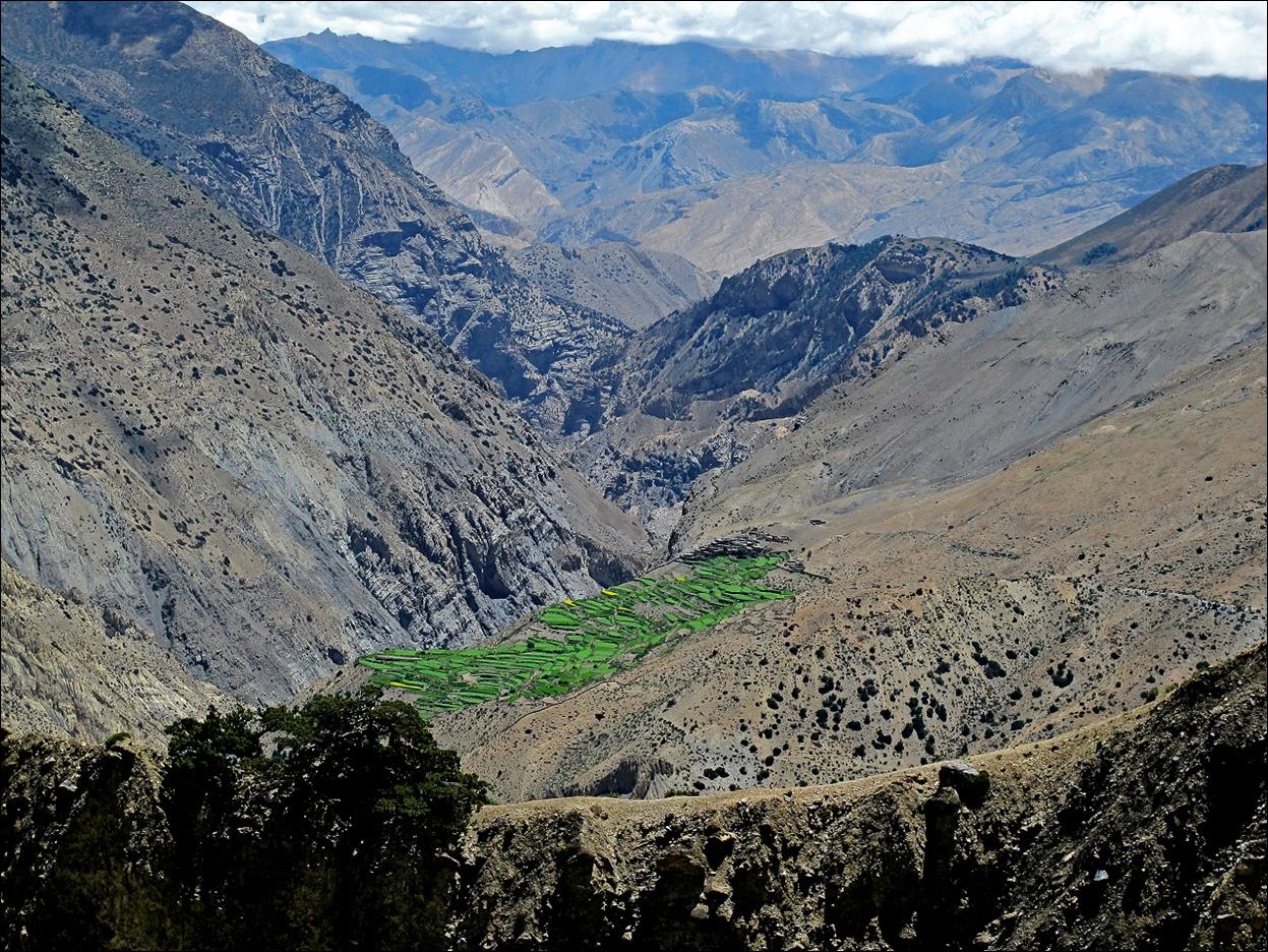
Canyon of Kyalunpe Khola. The green fields on the left and right sides of
the canyon are those of the small villages of Ghok and Sangda, respectively.
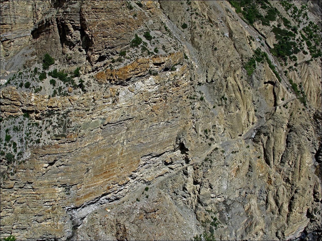
Further down in
the canyon. The ascent path on the other side of the canyon is visible on the
right of the photo.
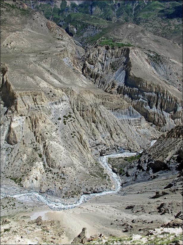
At the bottom
of the canyon just before crossing Kyalunpe
Khola.
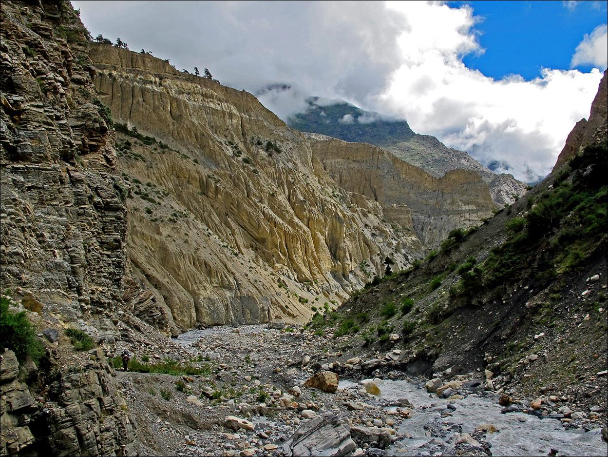
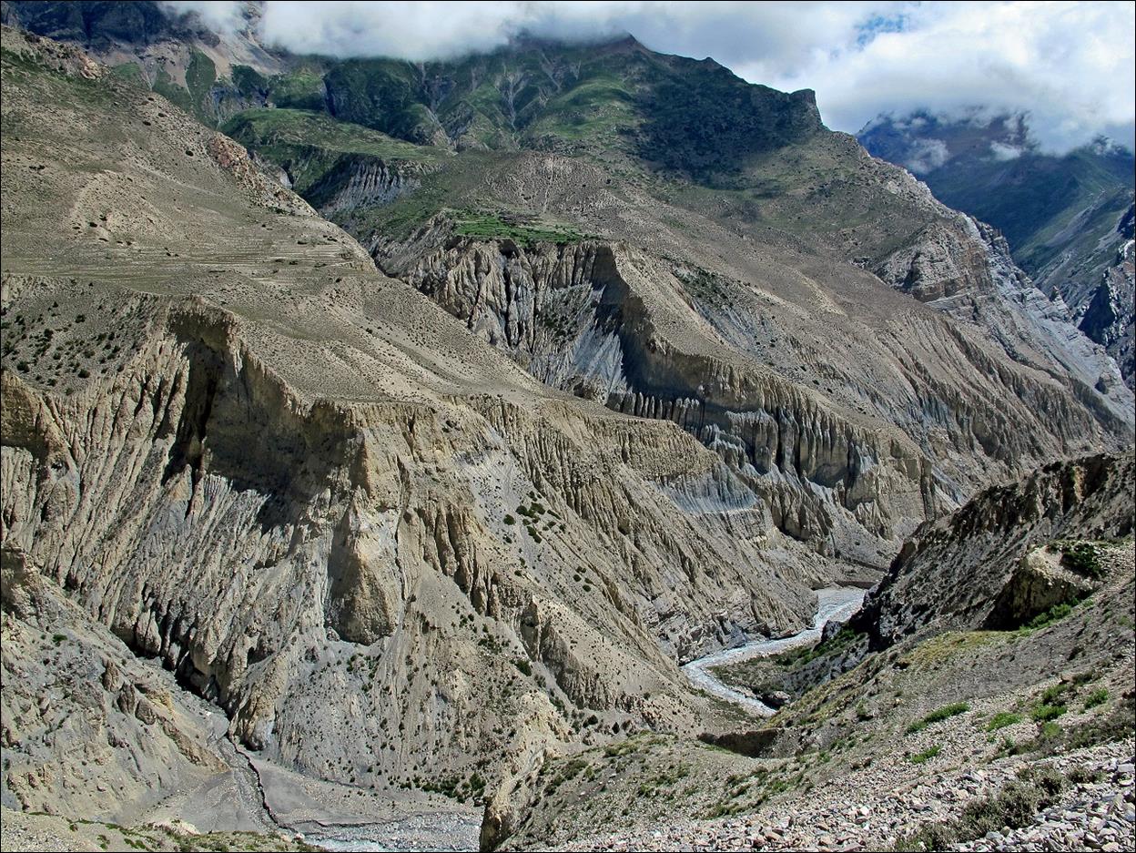
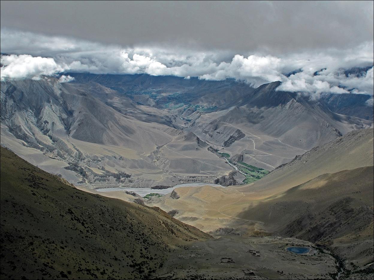
View of the
lower part of the descent trail from the other side of the canyon.
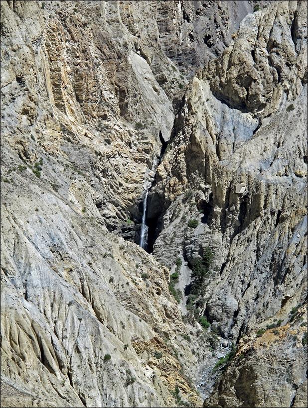
Views of the Kyalunpe Khola canyon while descending toward Sangda.
|
|
|
View over the village of Ghok located on the left side of the canyon.
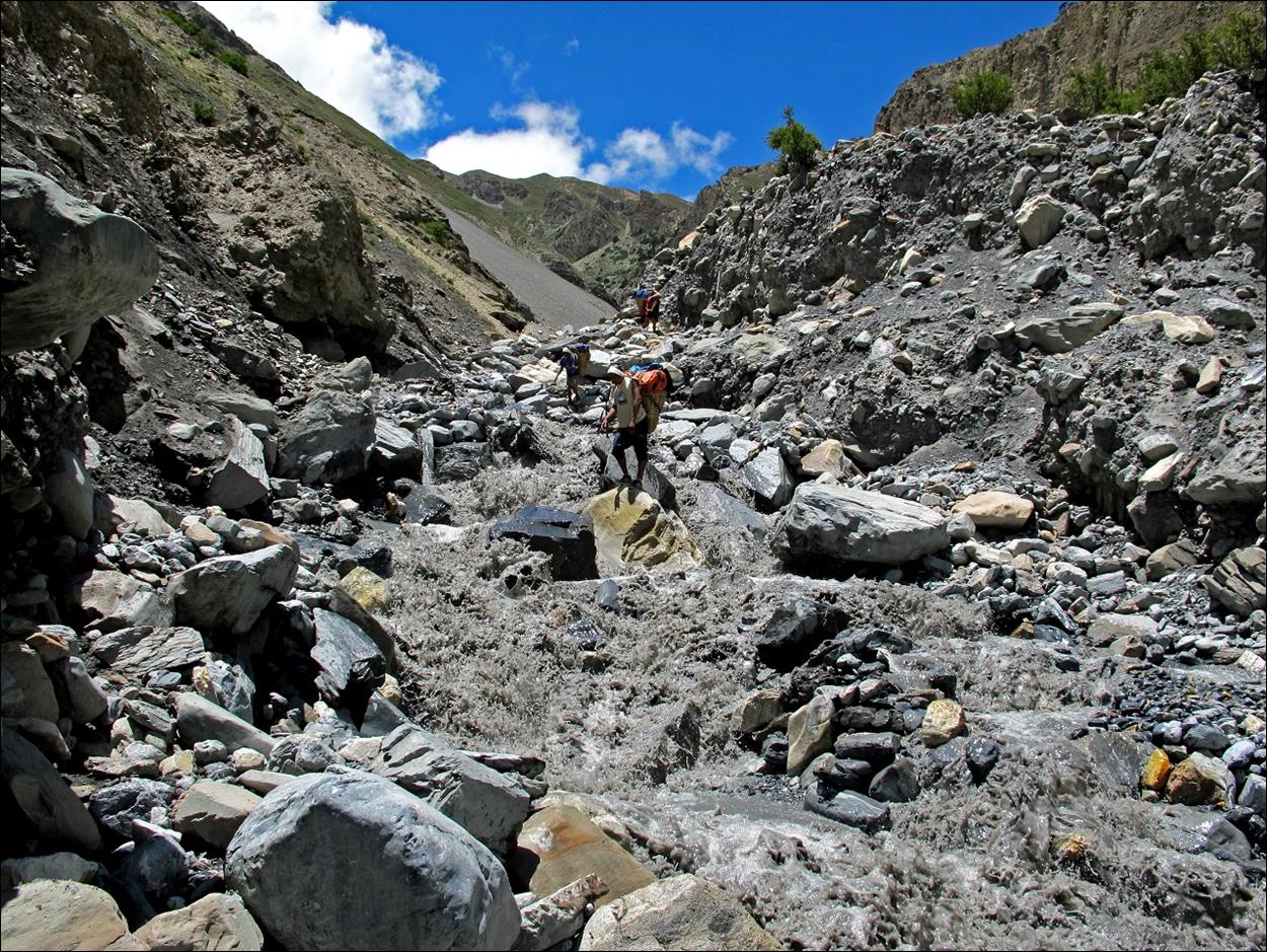
Treacherous crossing
in the afternoon, especially with heavy bags, of a tributary of Kyalunpe Khola.
|
|
|


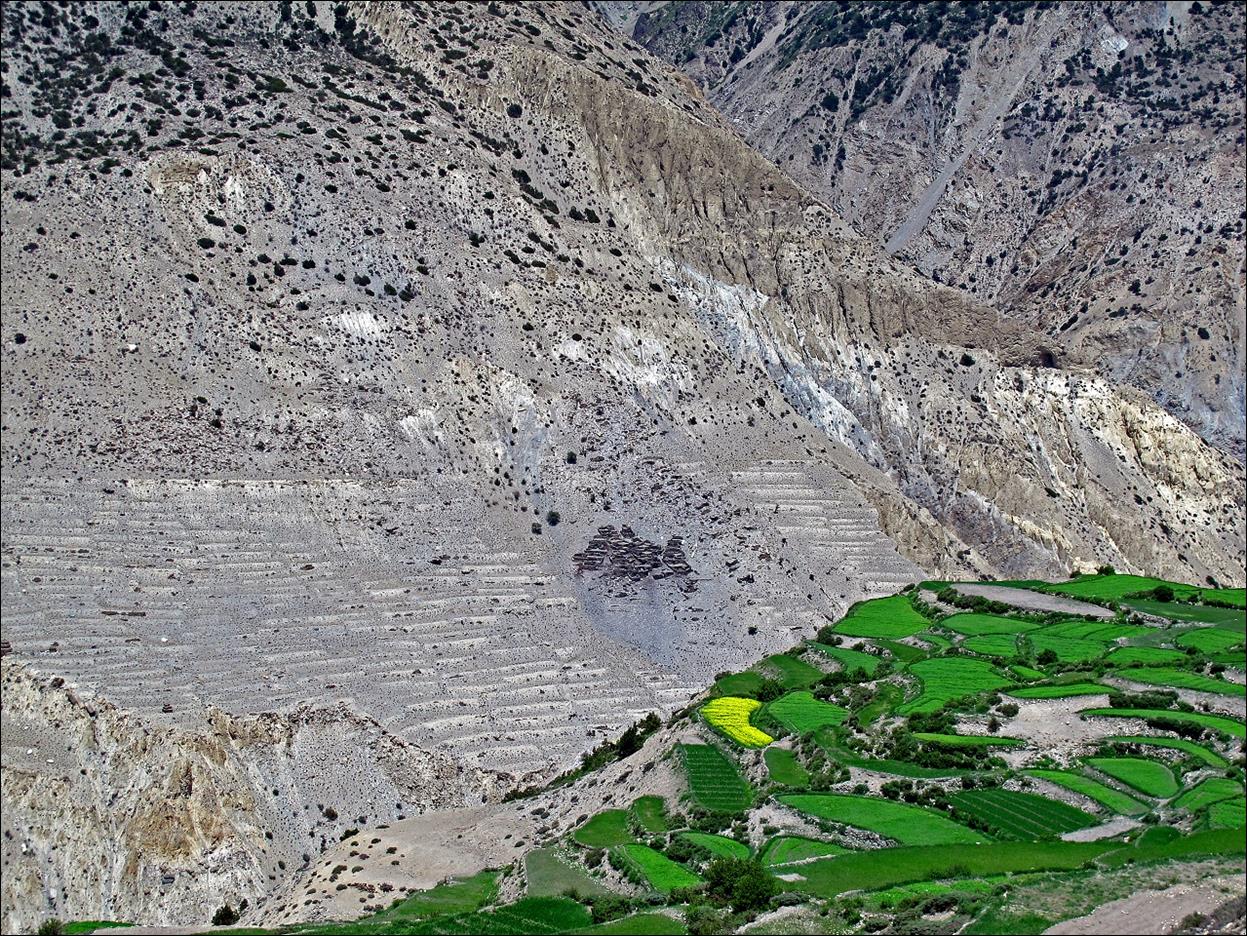
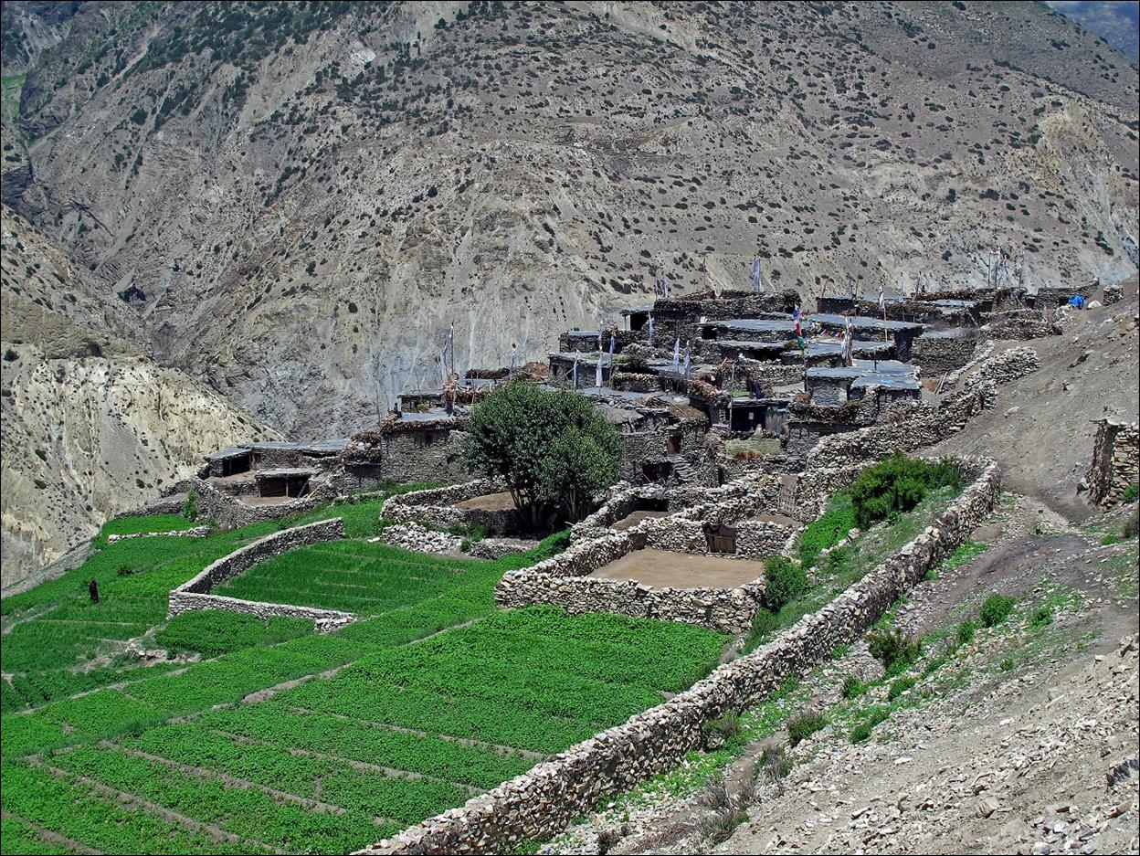
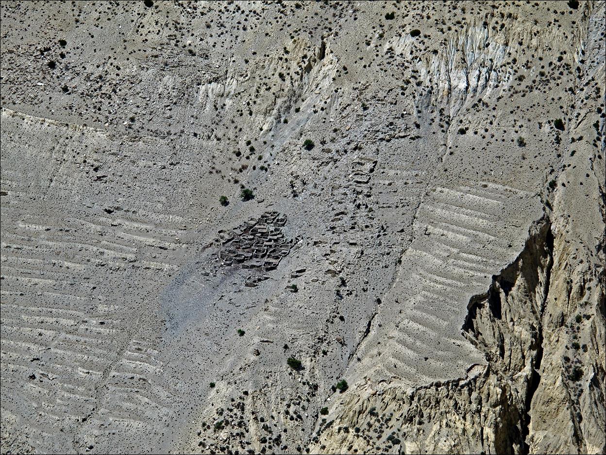
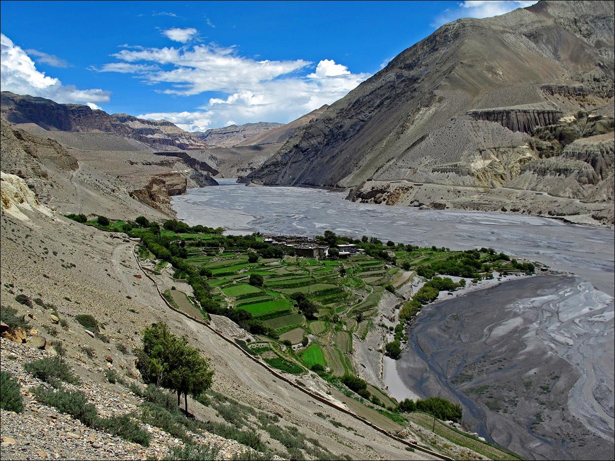
Sangda village and a small abandoned village (surrounded
by old terraces) facing it across the canyon.
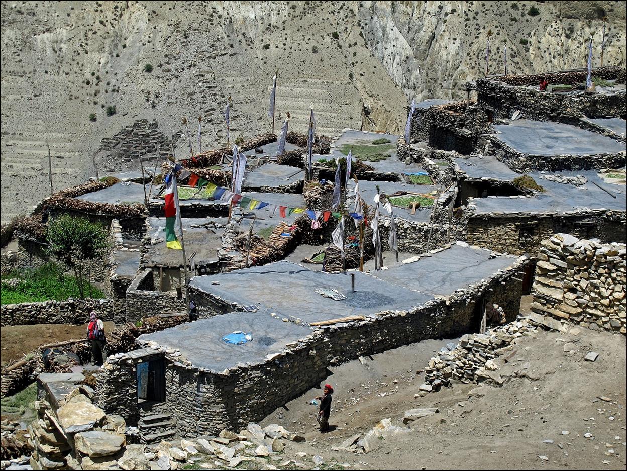
At Sangda village.
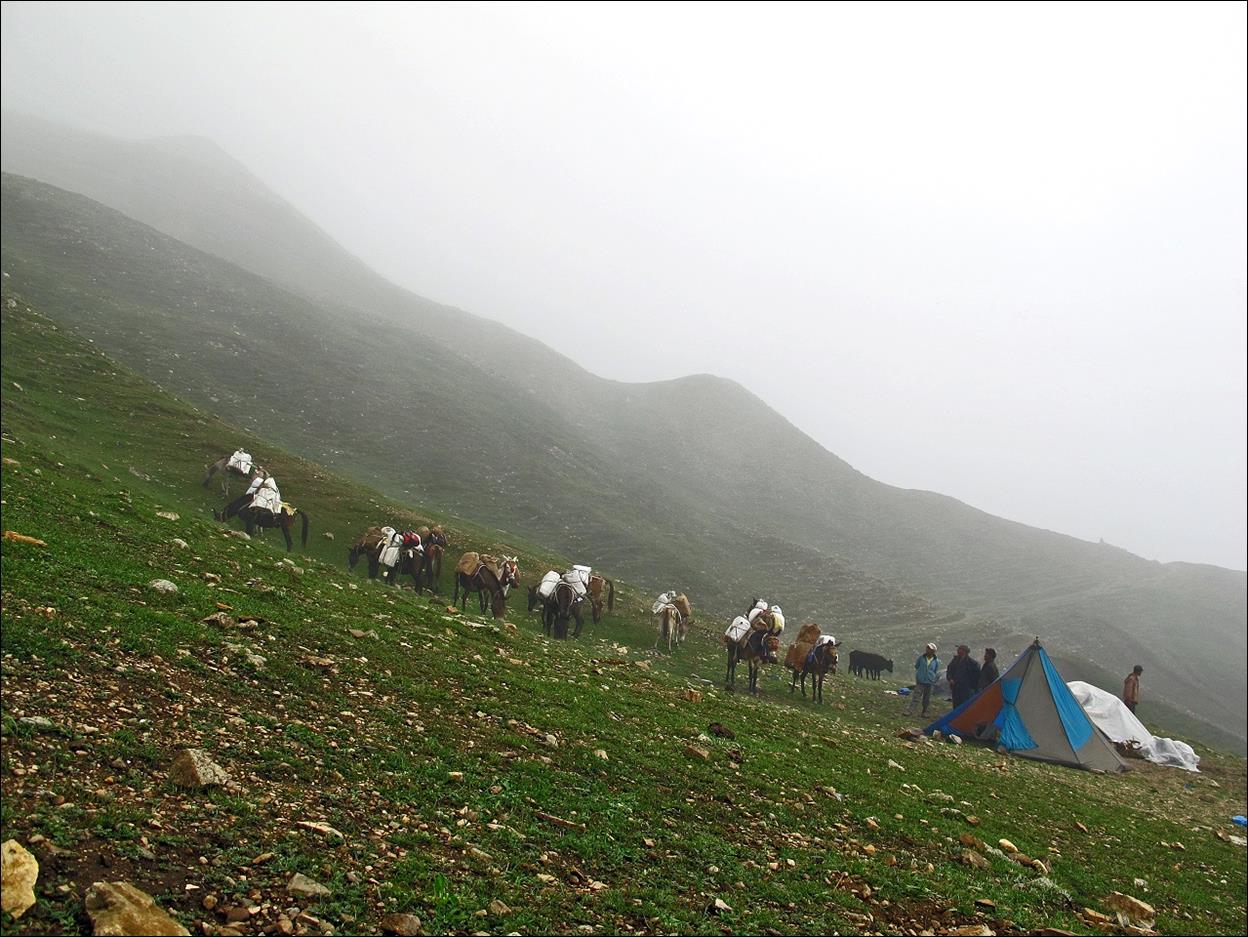
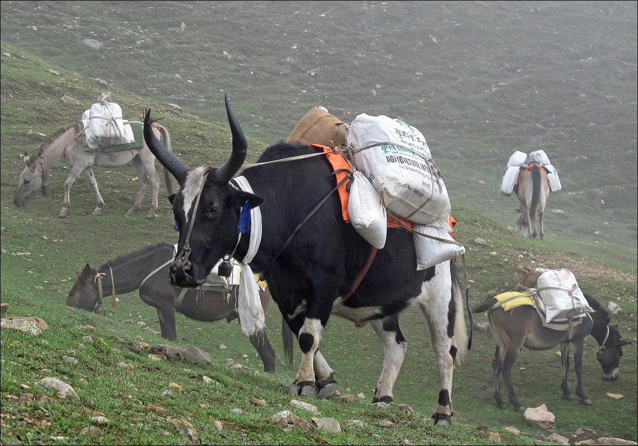
After passing Sangda, we shared our night camp with a group of traders
coming from Jomson.
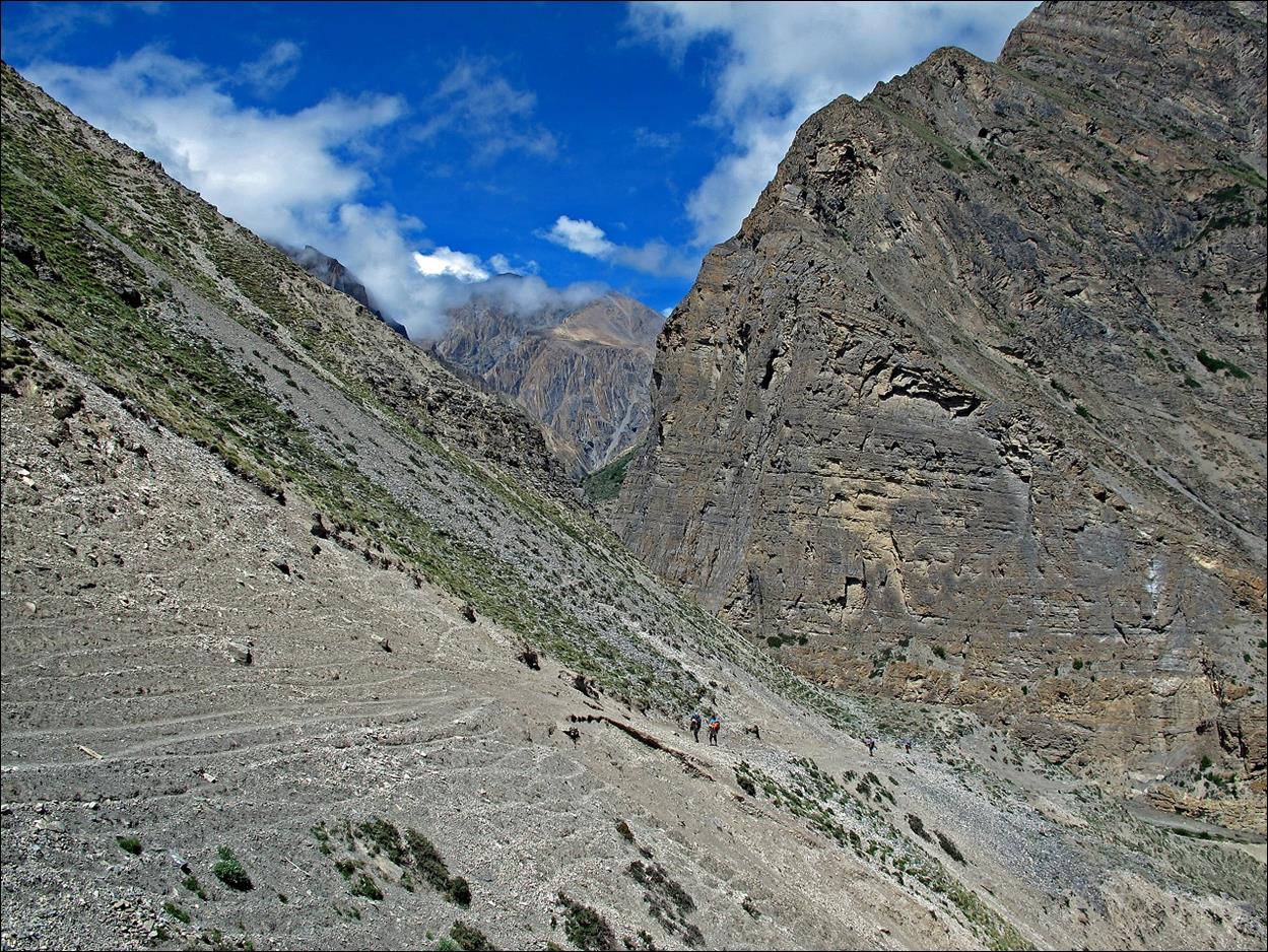
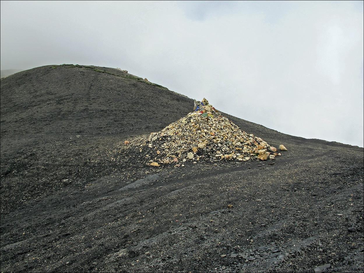
Bhima Lojung La, the last pass of this trek.
Starting our
descent from Bhima Lojung La in the fog.
Fortunately,
soon after crossing Bhima Lojung La, fog evaporated
opening beautiful views over Mustang.
Small village
of Tirigaon, just before reaching Kagbeni.
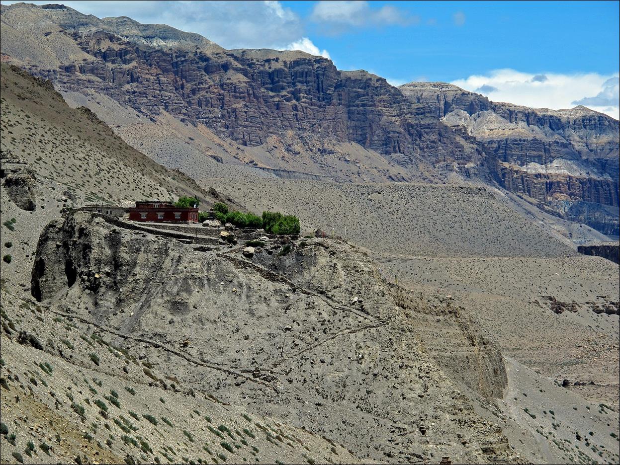
Gompa above Tirigaon.
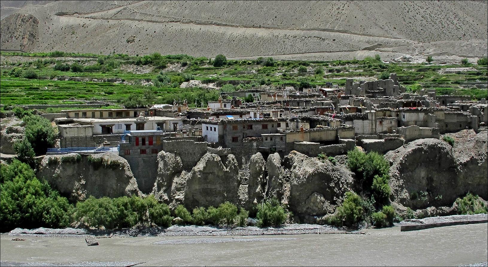
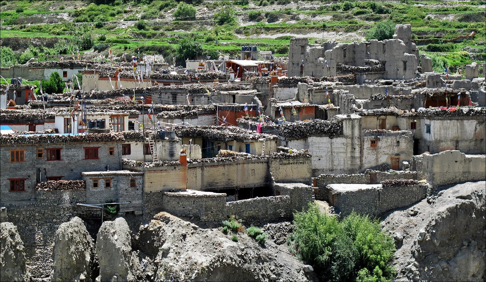
Village of Kagbeni.
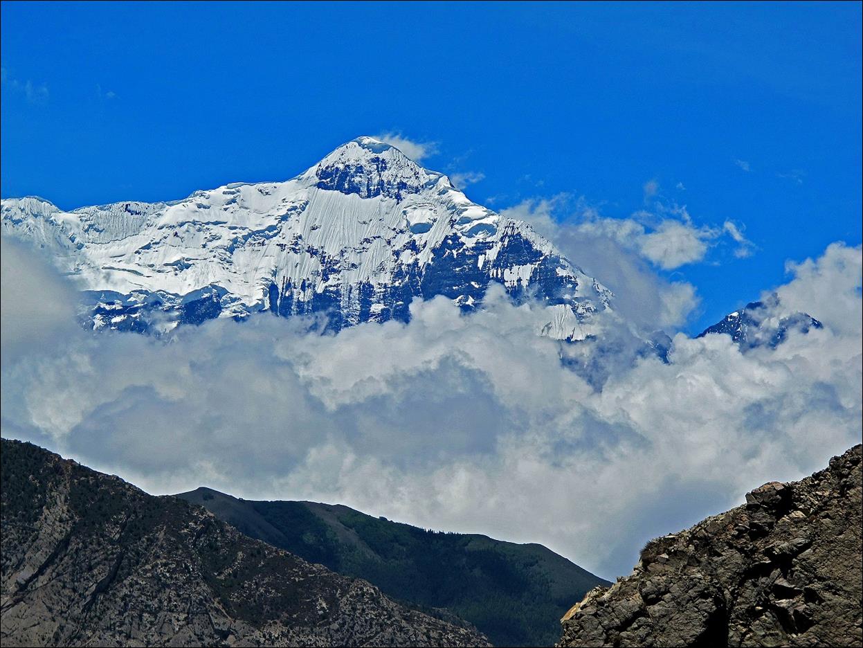
Nilgiri peak seen from Kagbeni.
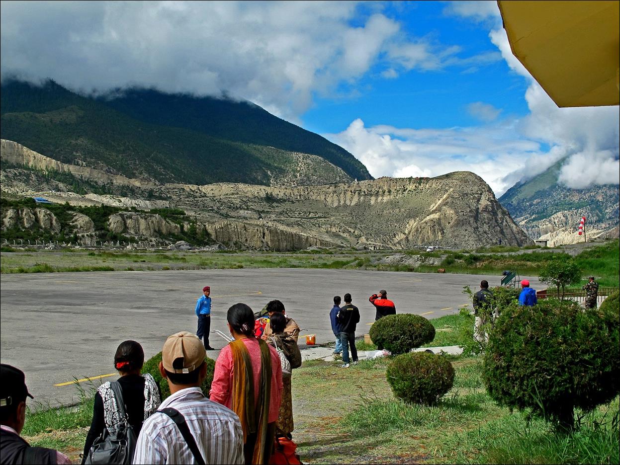
Jomson airport. Landing of a small aircraft connecting
Jomson to Pokhara.
![]()
Links to other
sections:
―
Section 1: Nepalgunj
to Matachaur
―
Section 2: Matachaur to Tibetan camp above Maduwa
―
Section 3: Crossing
Bagala La and Numala La
―
Section 4: Dho Tarap Valley
―
Section 5: Maran
to Charkkha Bhot
![]()