Ethiopia (April-May 2015)
1. Mekele
to Maryam Hibeti
|
|
Return to main Ethiopia April-May 2015 webpage
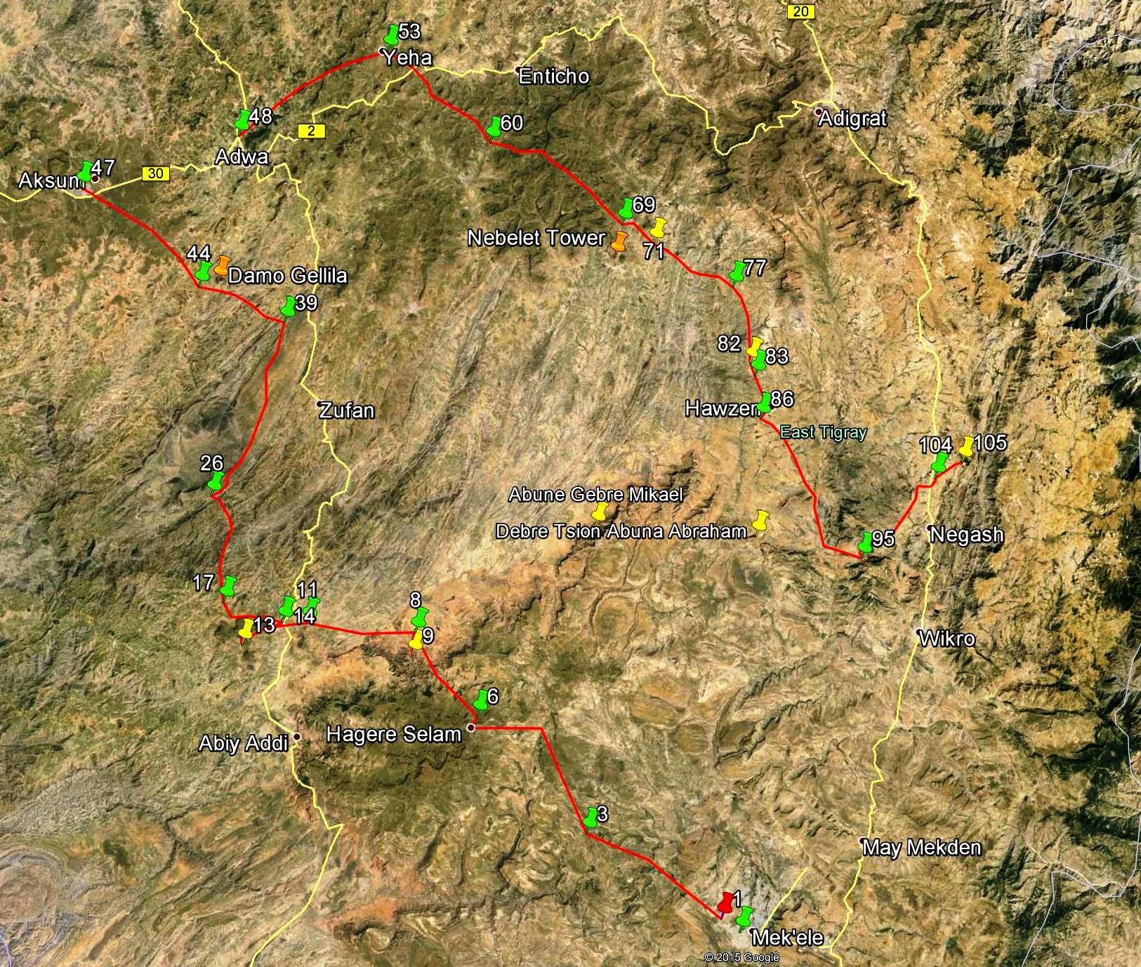
To see the map below
with a better resolution in another tab, click here.
To see all the waypoints in Google Earth, click here (.kmz file).
This page covers the section of the red path between waypoints 1 and 9.

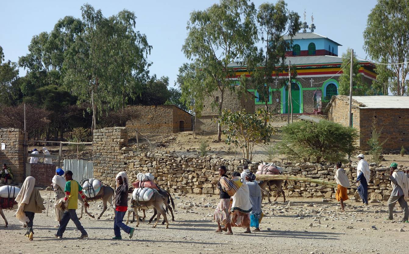
We started trekking
on the morning of April 27 from a small village located 3km west from Abreha Castle in Mekele (waypoint
1). Many local villagers were on their way to Mekele′s
market.
Loading
the mules.
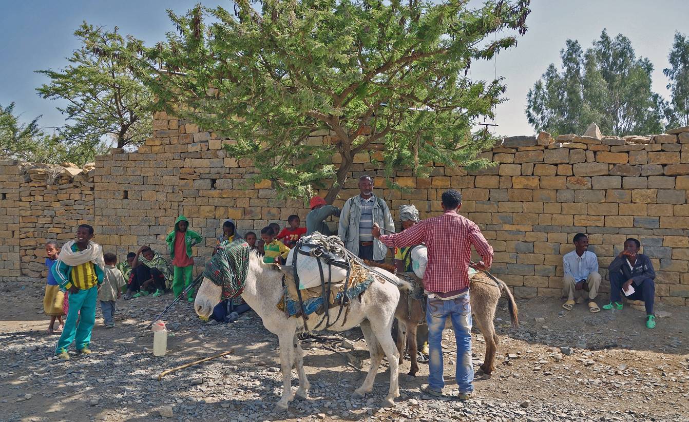
Start
of the trek.
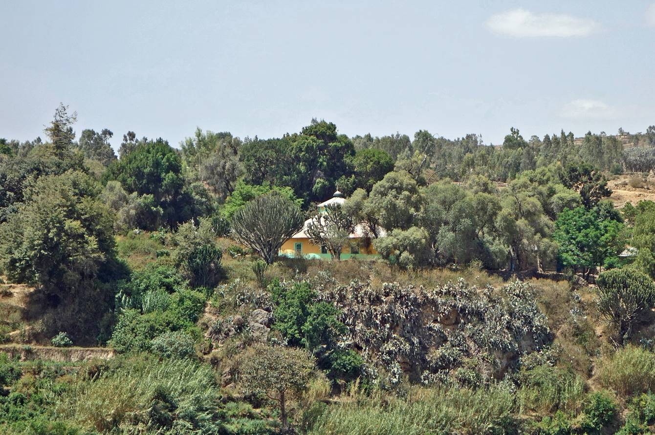
Church along the way.
Many churches have green surroundings with large trees.
First river crossing,
where we stopped for lunch (waypoint 2).
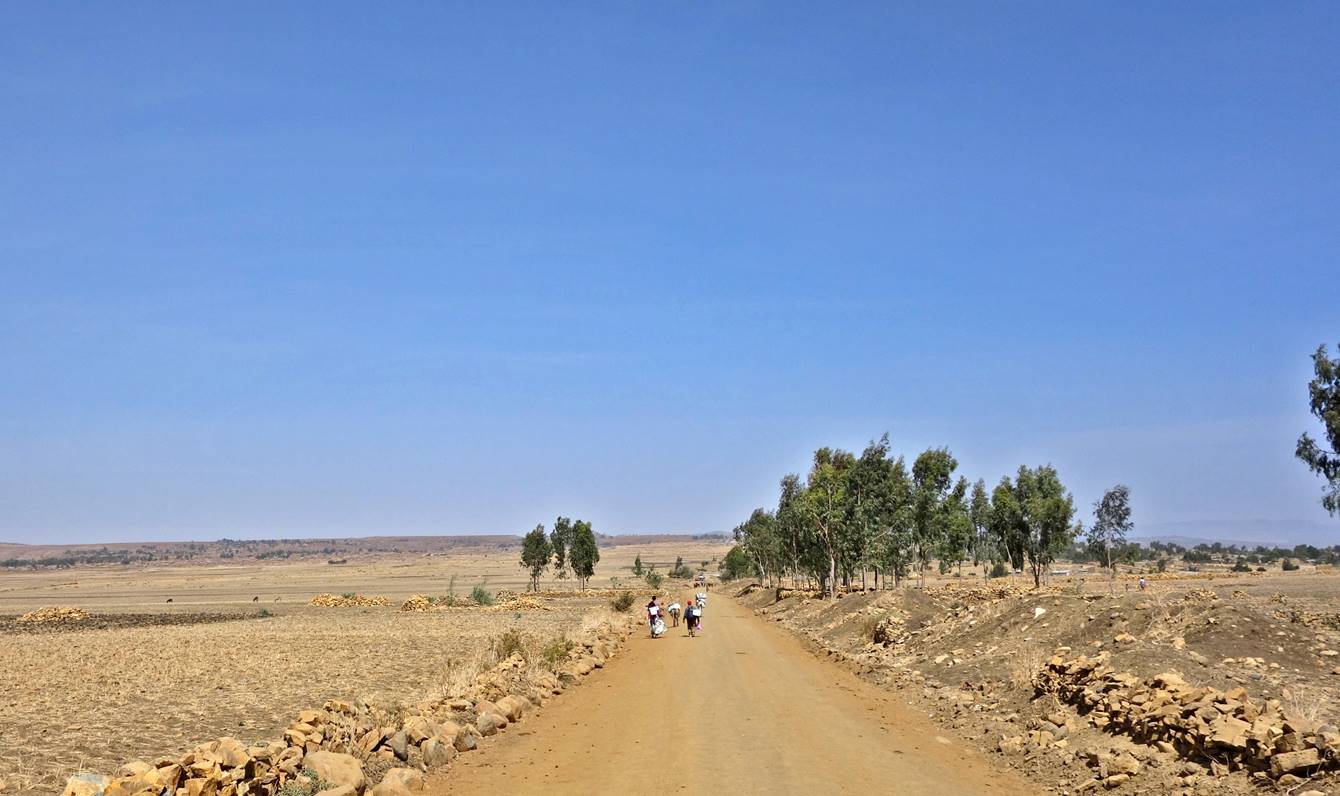
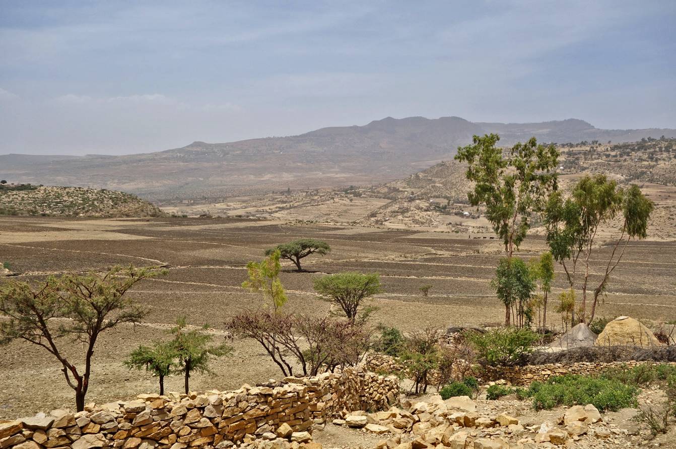
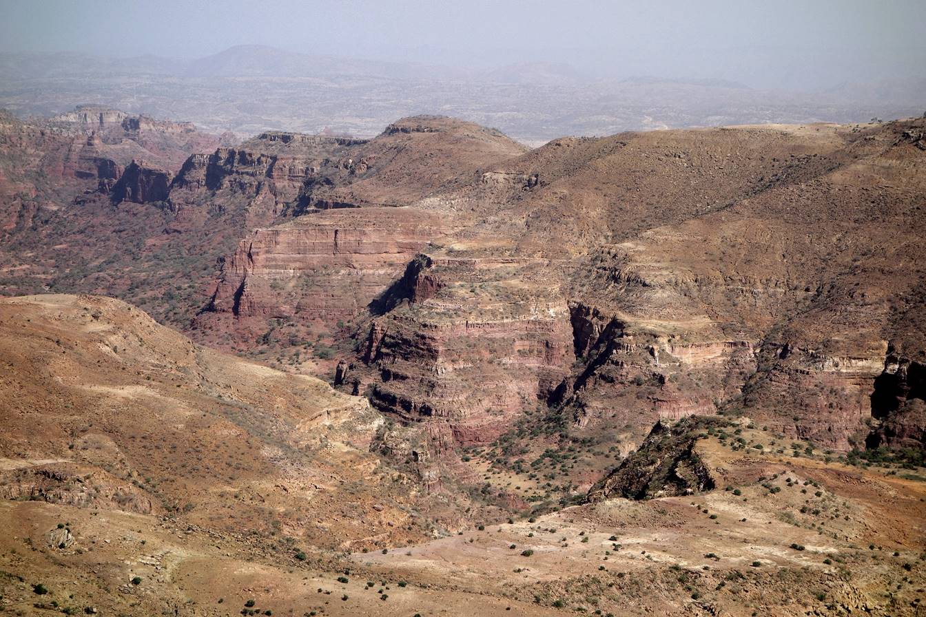
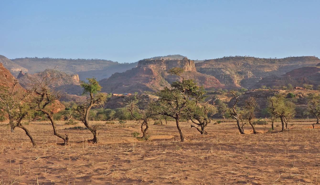
A typical Tigraian landscape.
We set our first camp
under this fig tree near Togoga village (waypoint 3).

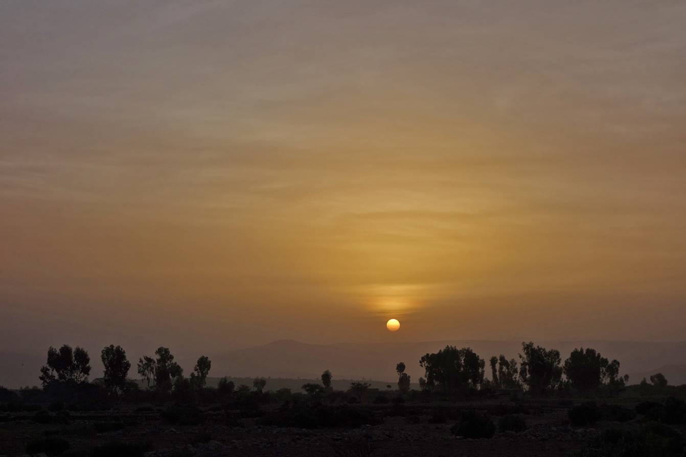
Sunset seen from the
camp.
″Modern″
houses with walls made of crude wood posts (sometimes covered by mud) and roofs
made with corrugated iron sheets ...
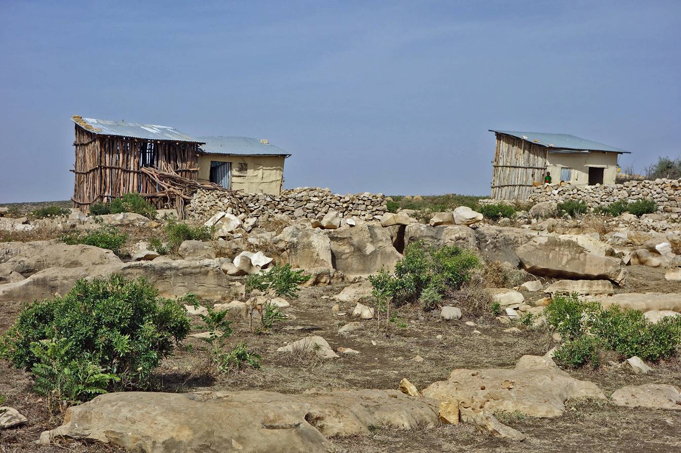
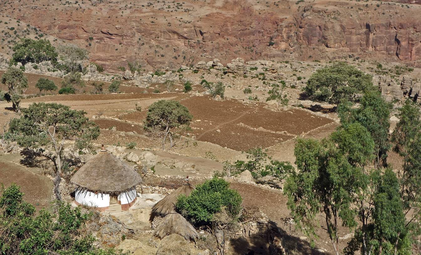
... and, in striking contrast, a traditional farm with stone
walls and a straw-thatched roof.
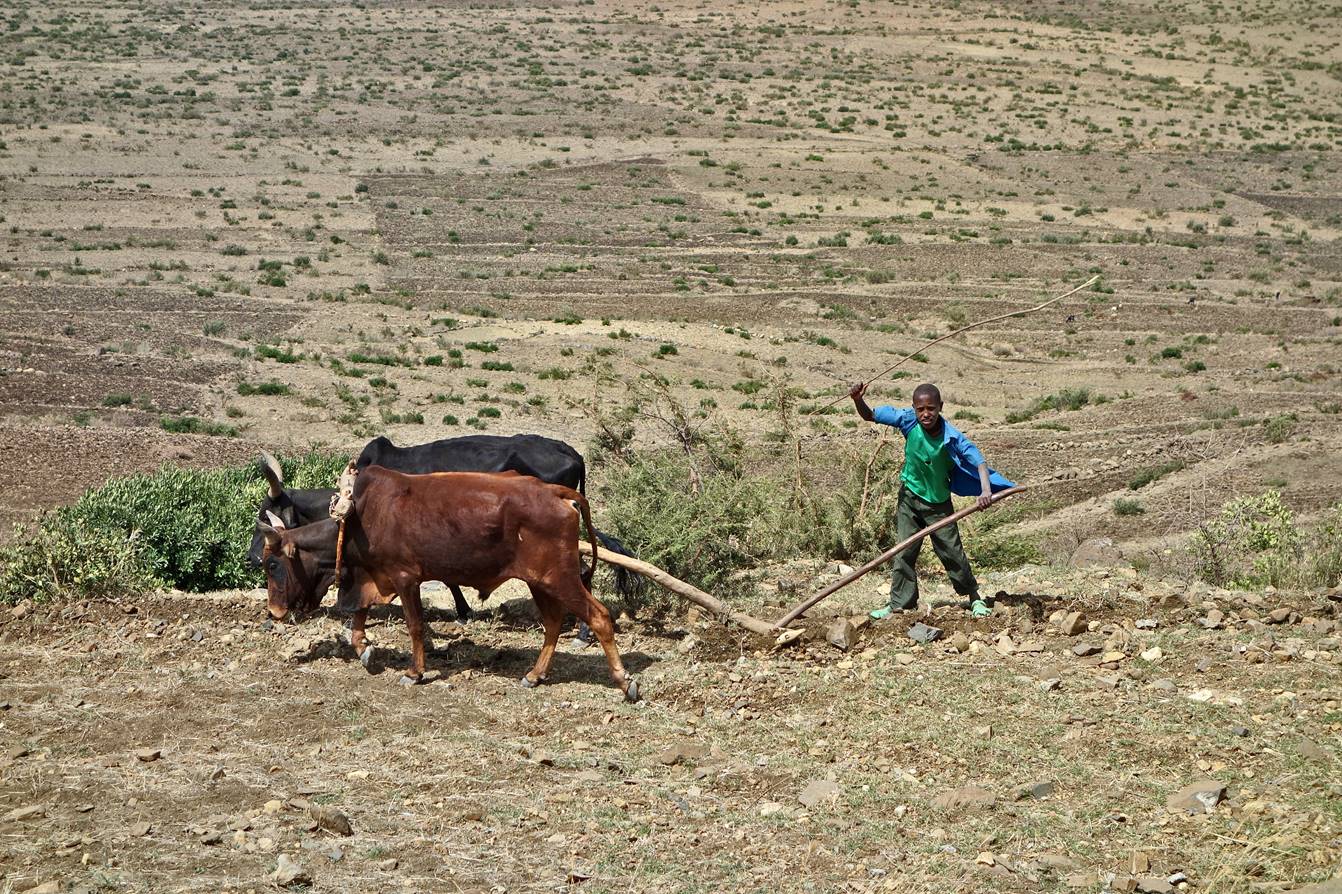
Field plowing. It was
the end of the dry season and fields were being prepared for a new seeding.
Already plowed
fields.
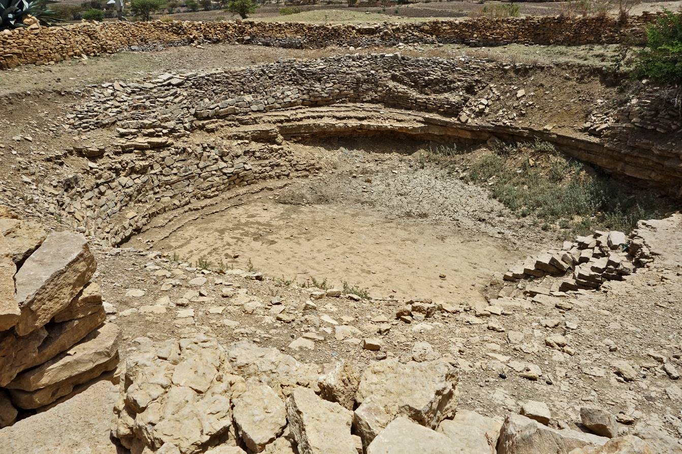
Empty reservoir used
to collect rain water. I saw many such reservoirs along the way.
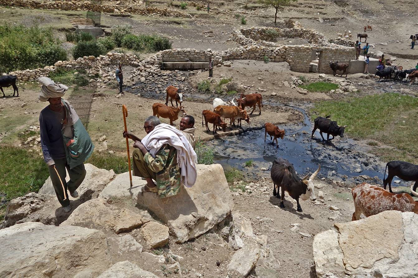
At a water source
(waypoint 4).
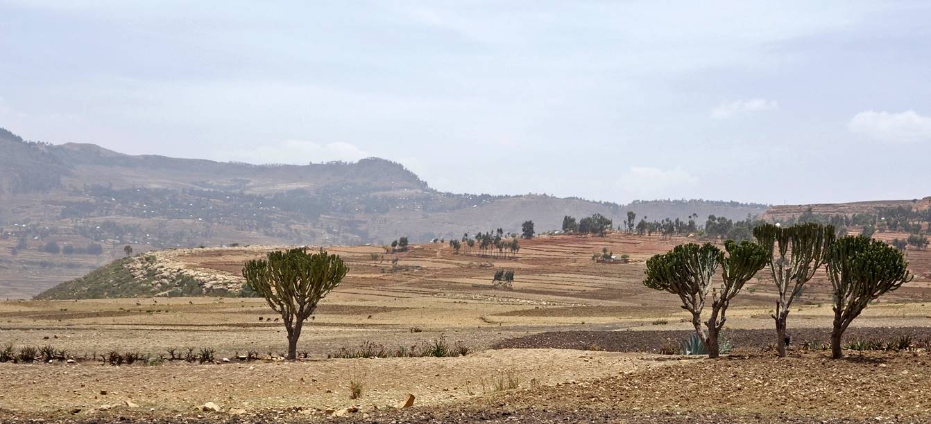
More plowed fields
near the small town of Hagere Selam.
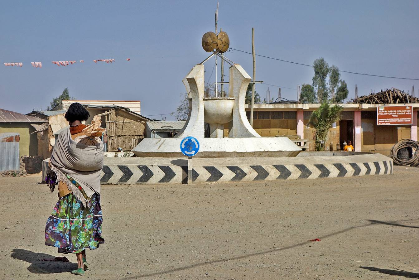
Dry fountain with
three levels of basins in Hagere Selam
(waypoint 5). What was in the mind of the person who decided to build this
fountain in a place where water is so scarce?
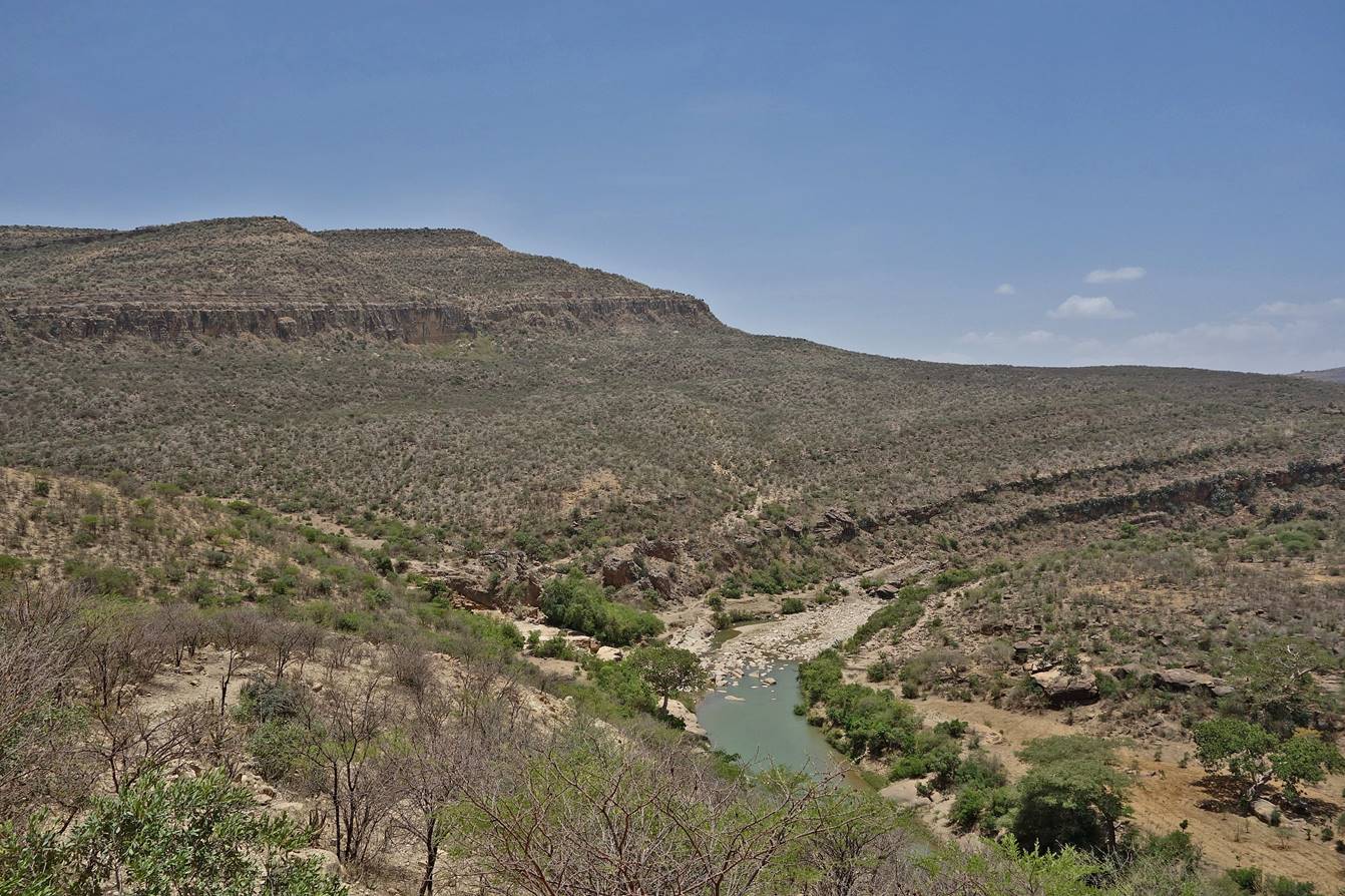
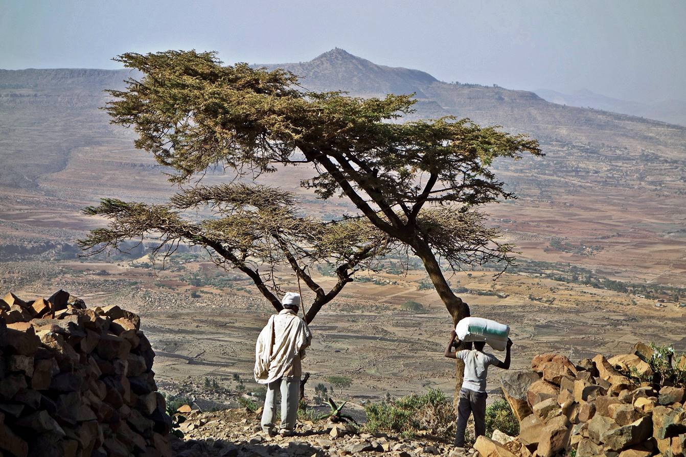
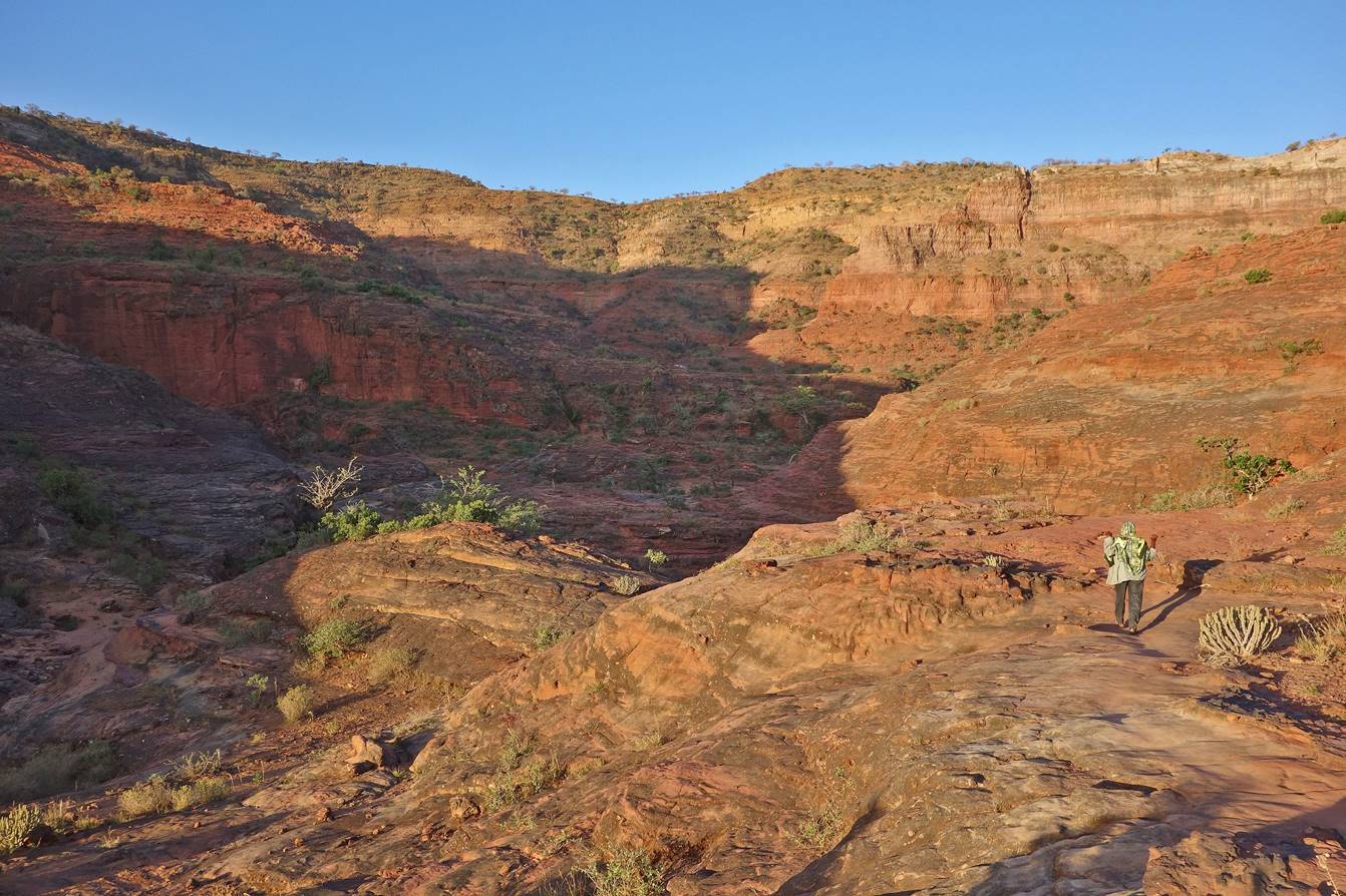
Hagere Selam
lies on a mountain ridge. Beyond that ridge our path descended quite abruptly
and the scenery changed radically. Here, a priest and a porter at the beginning
of the descent.
The path further
down.
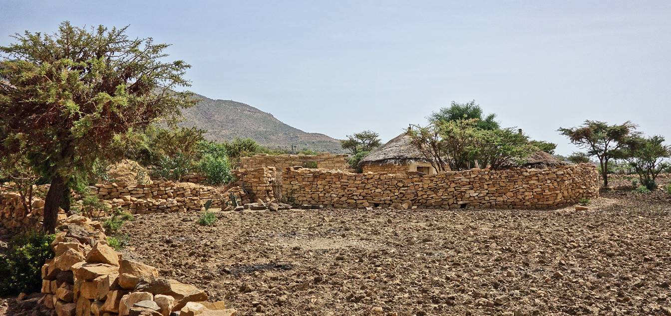
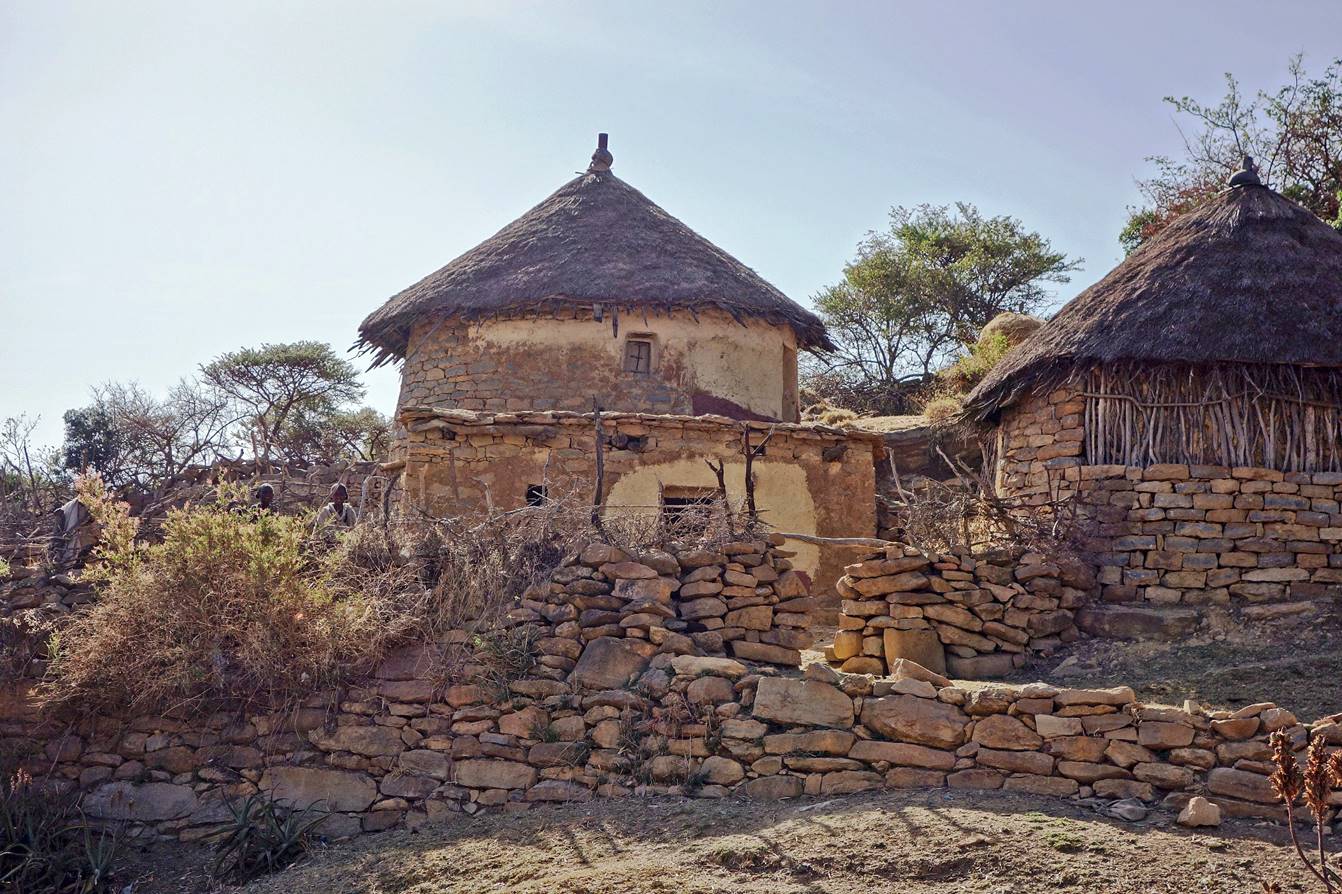
Traditional farms
along the way.
Church under an
escarpment.
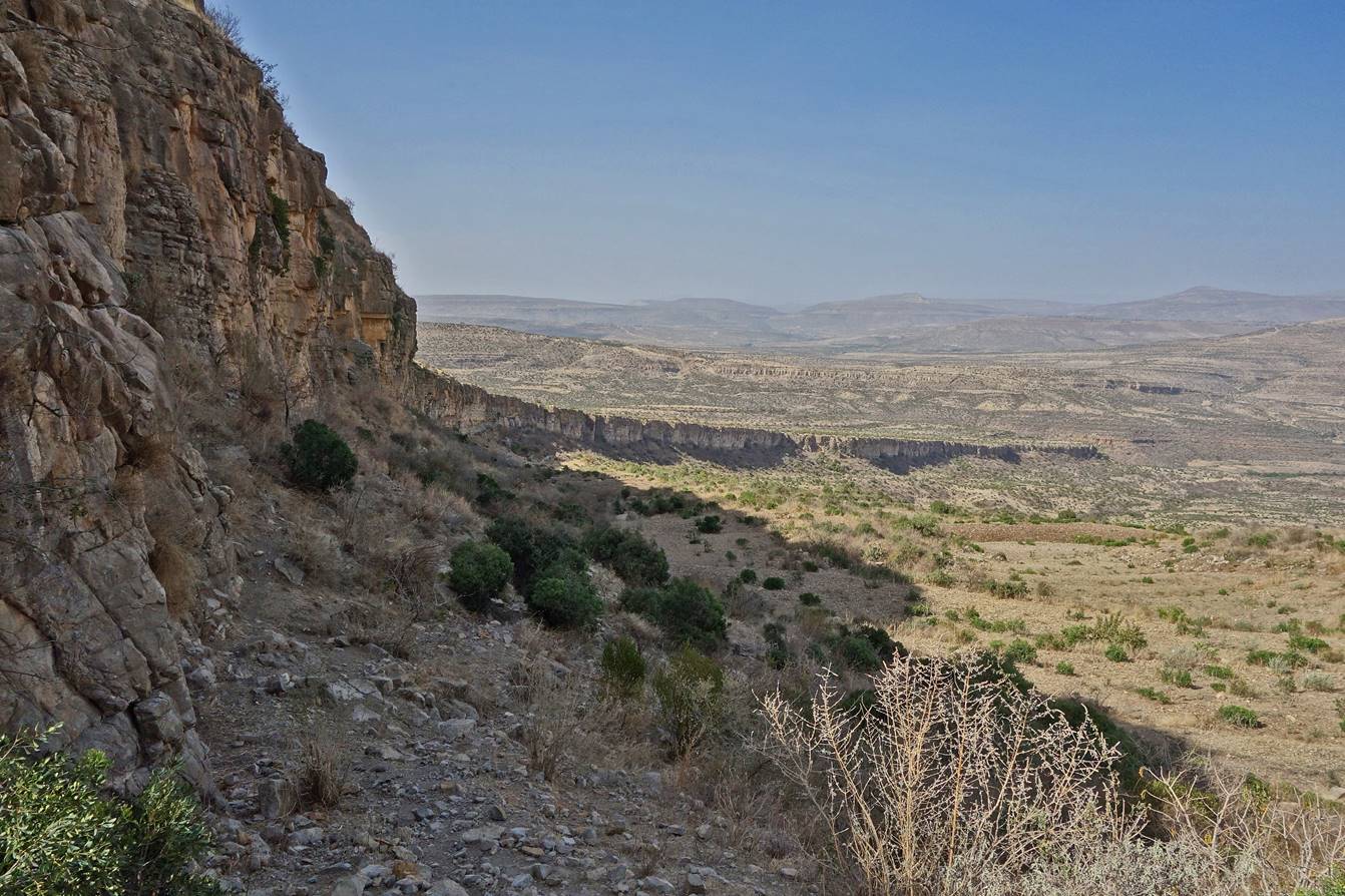
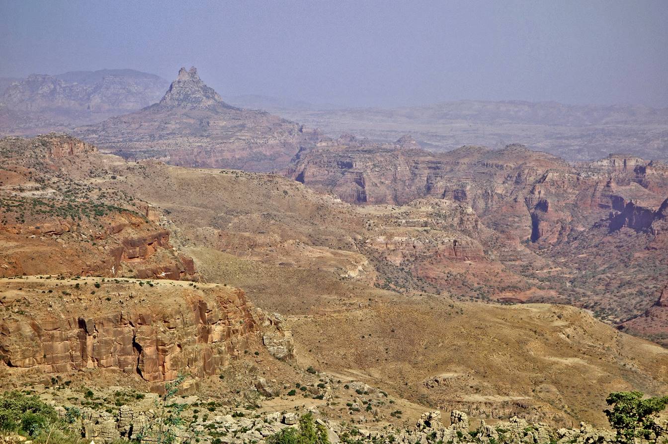
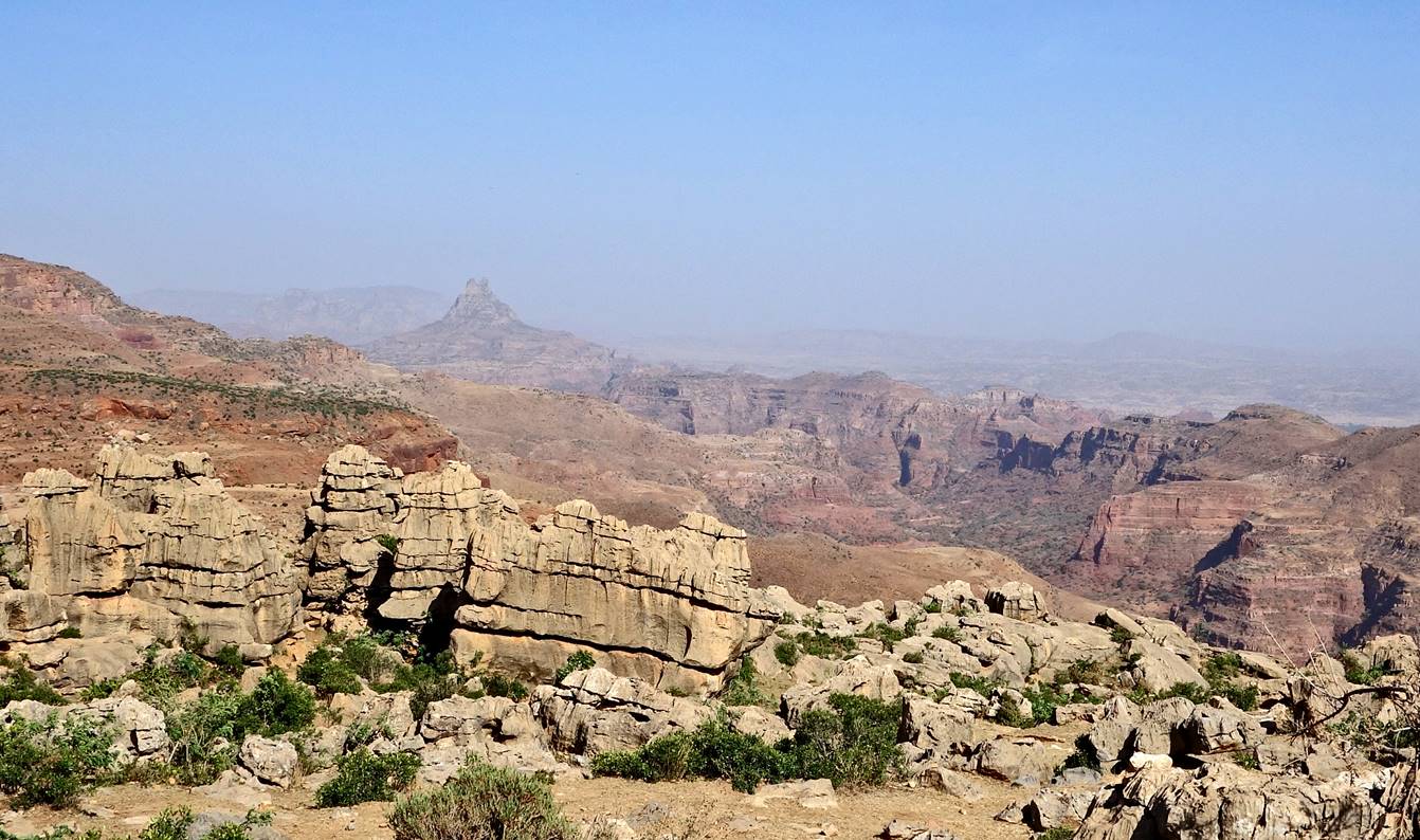
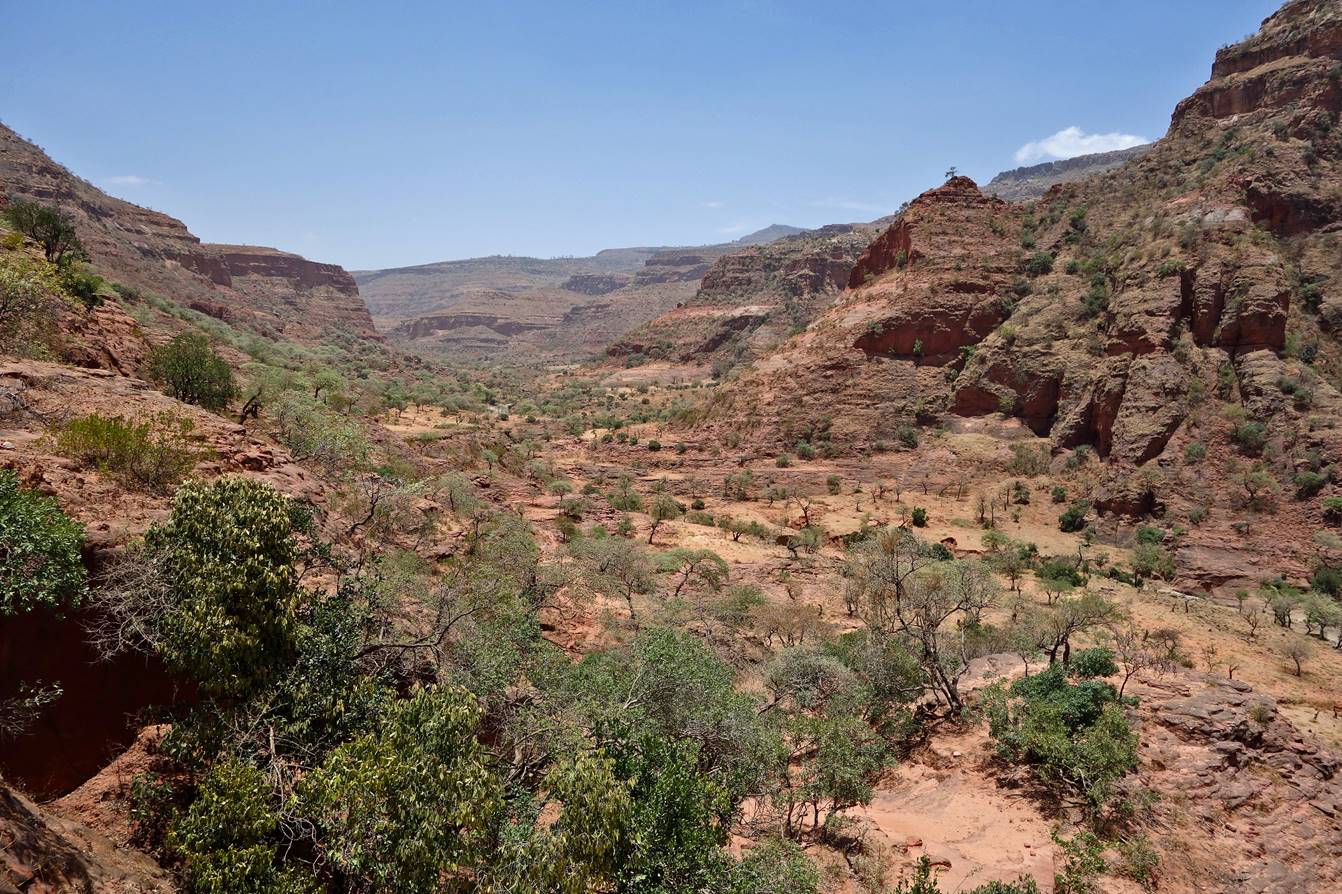
Views over the
neighboring mountains during the descent.
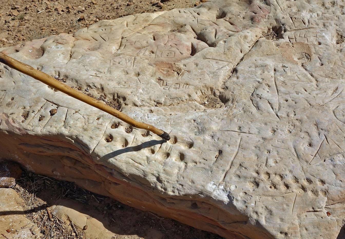
Sandstone carved by
children to create games.
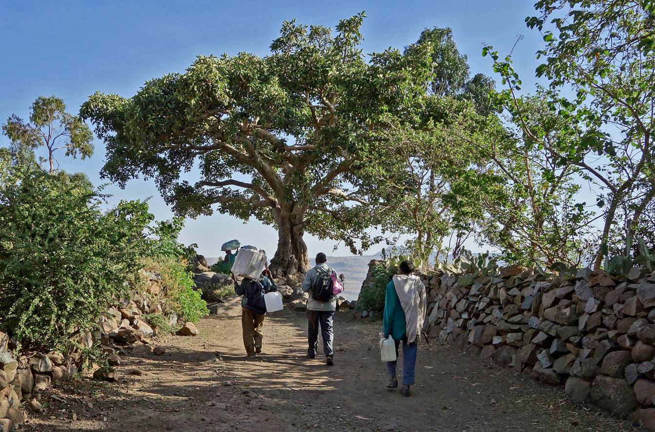
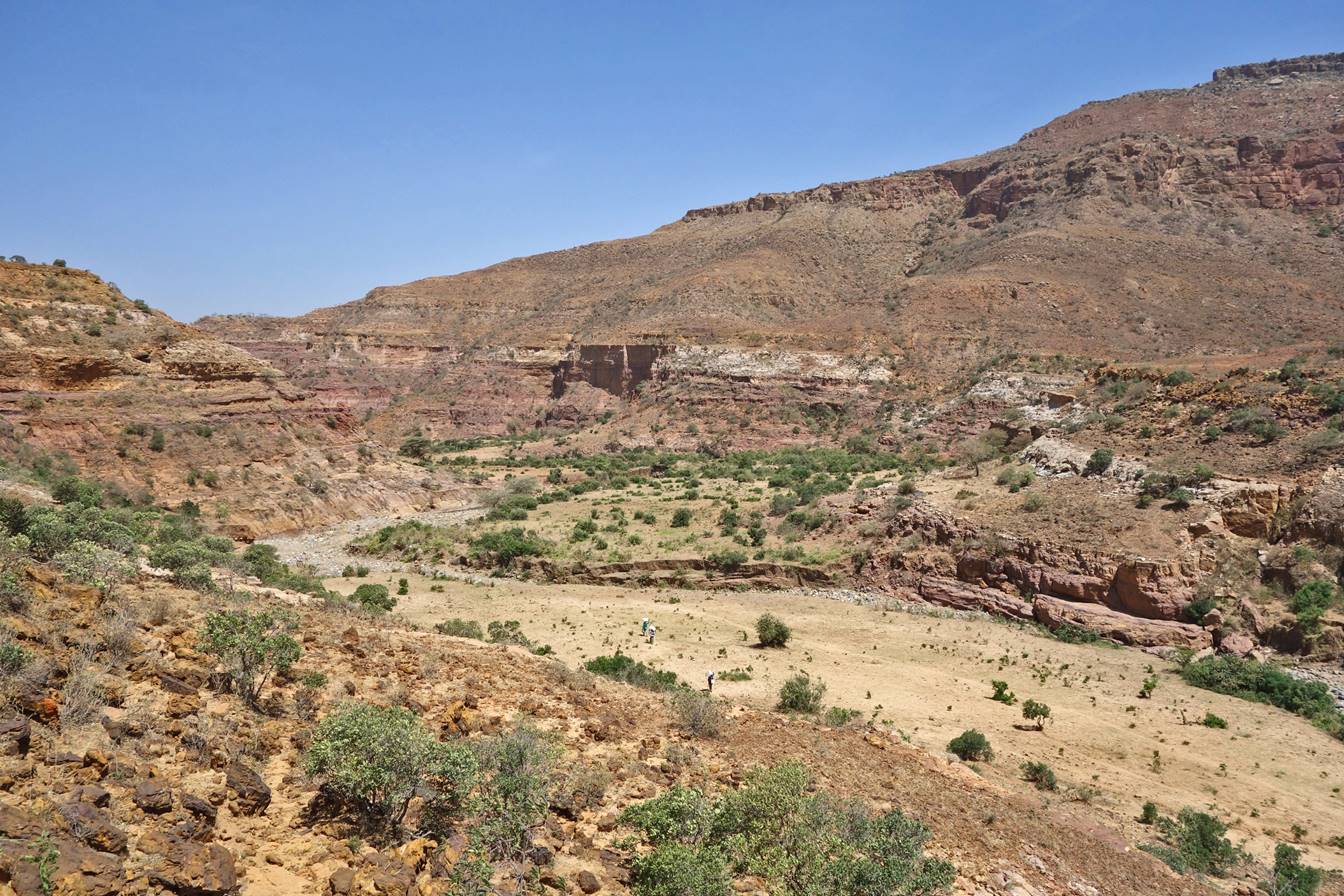
We eventually reached
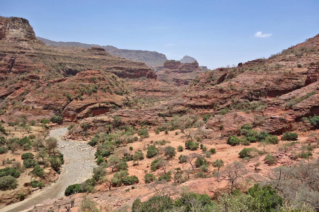
the riverbed in an un-inhabited area. Two porters followed by Gebrehiwet can be seen in the middle of the picture.
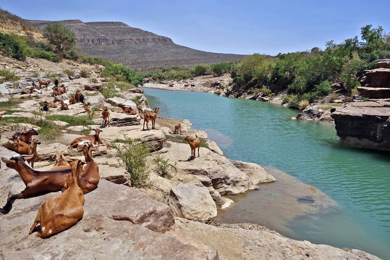
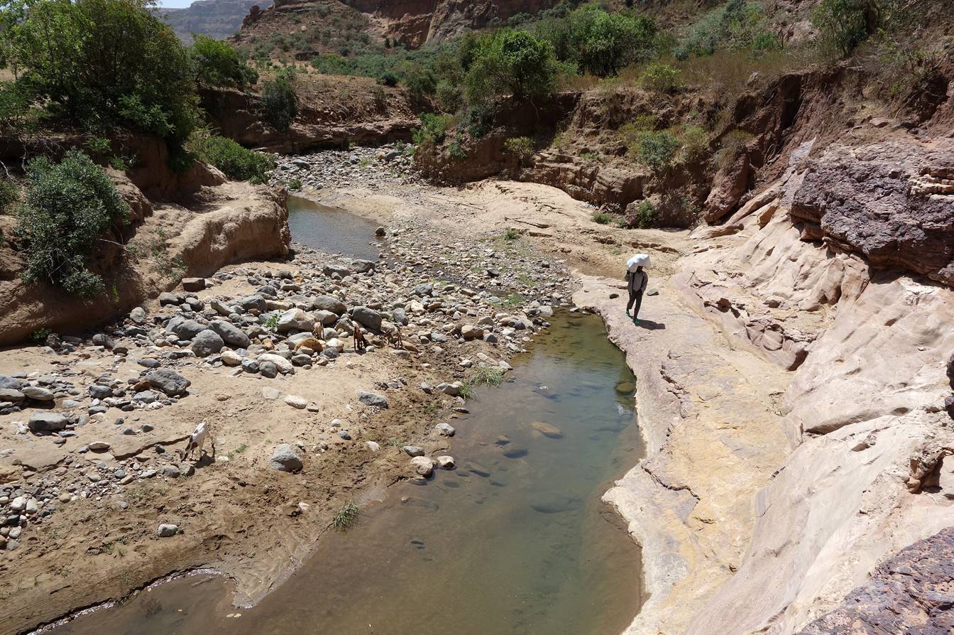
The riverbed was
mostly dry, with some isolated pockets of water.
Termite mound.

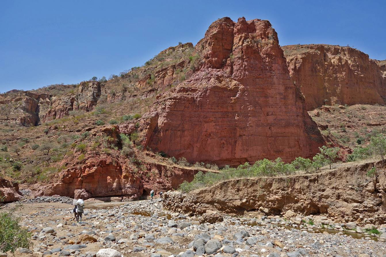
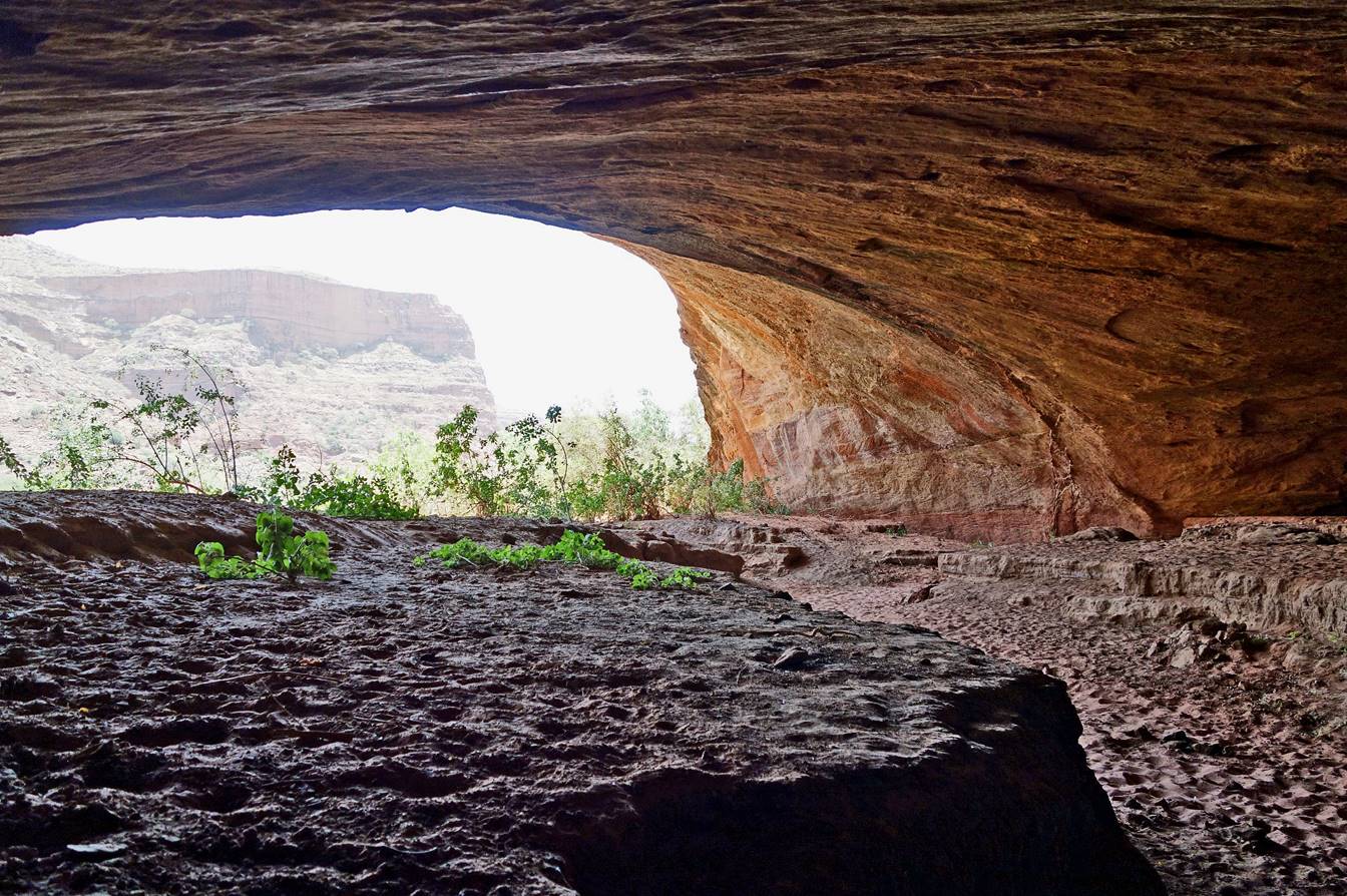
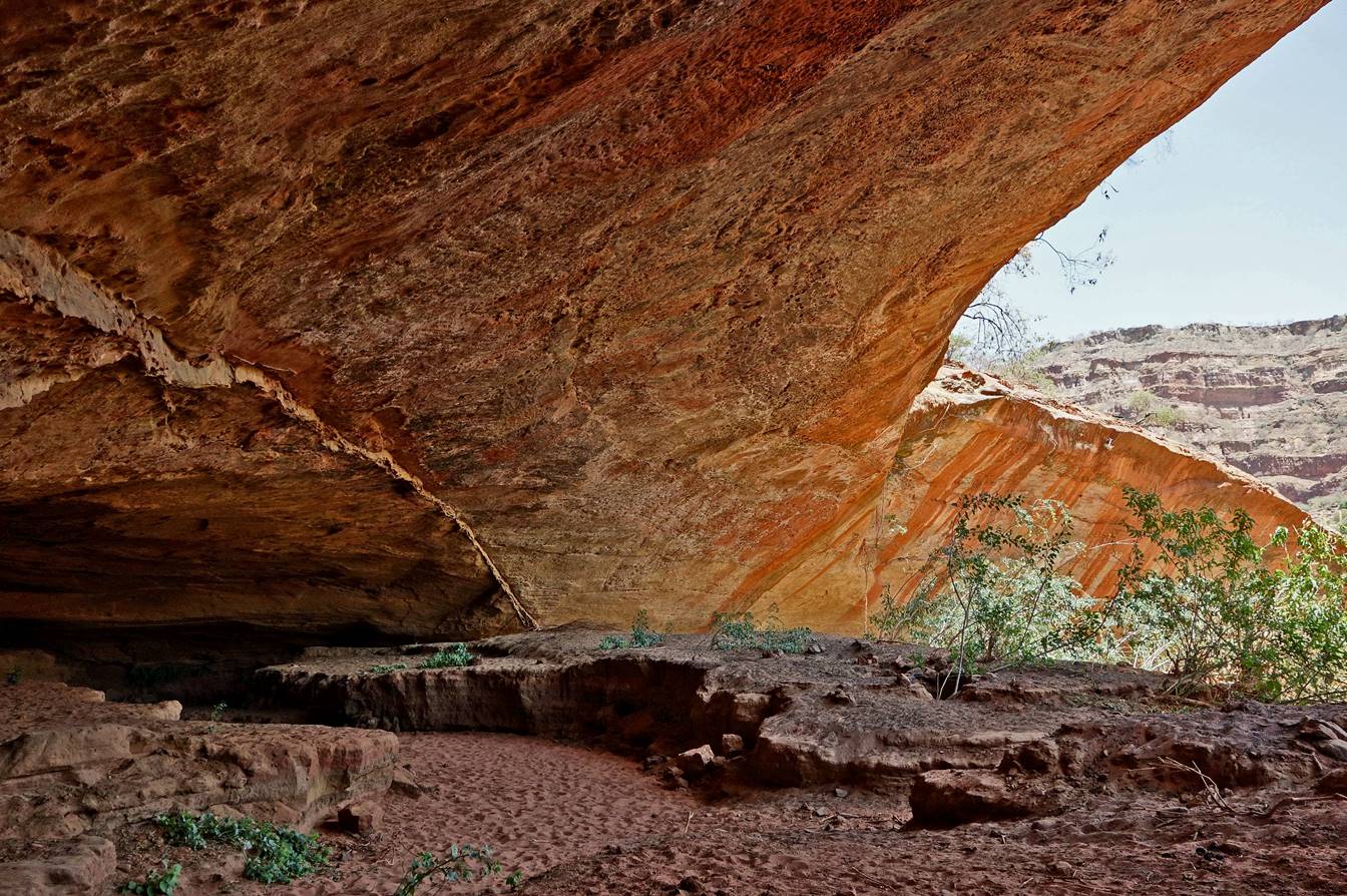
Large
lateral cave cut by the river (waypoint 7).
Further down along
the riverbed.
Reaching the large
plain between the towns of Werkamba (waypoint 11) and
Hawzen (waypoint 86).
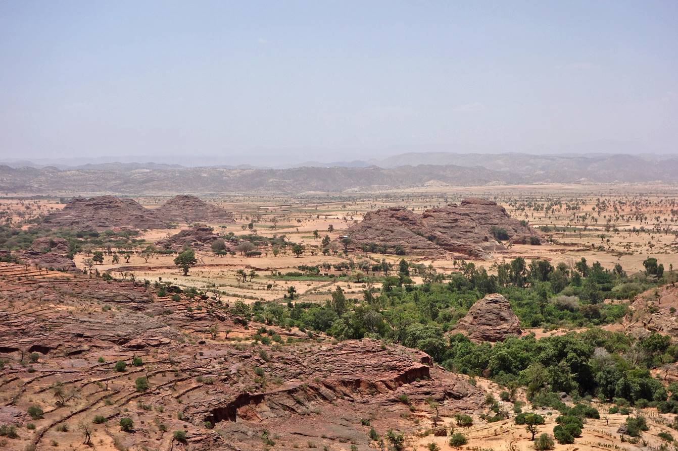
Farm.

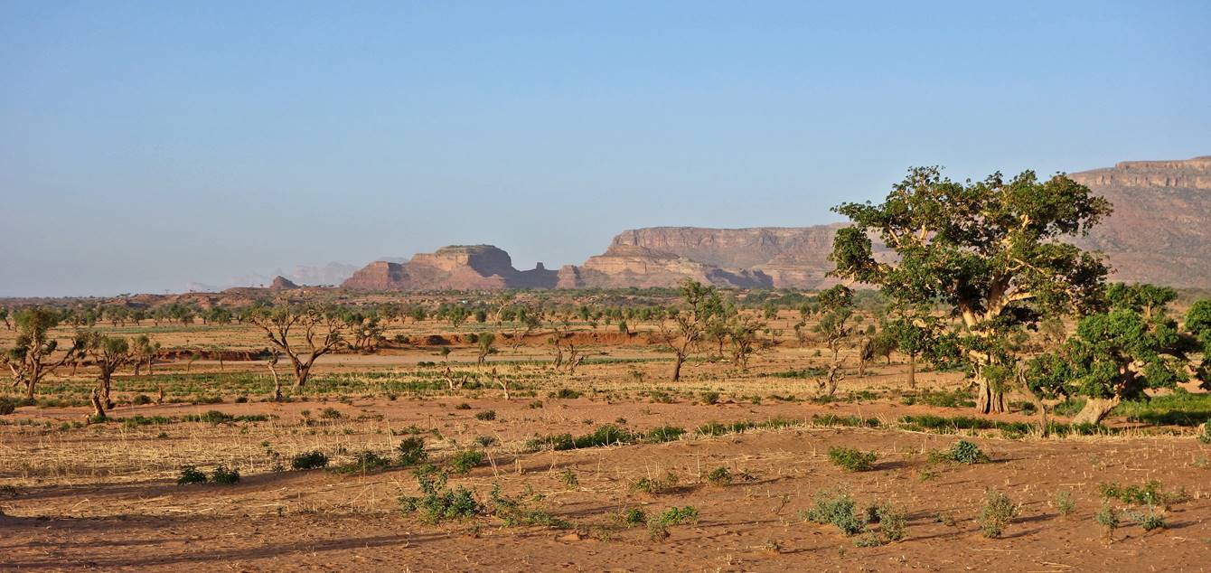
We reached the plain
in an area entirely covered by sand with sparse vegetation.
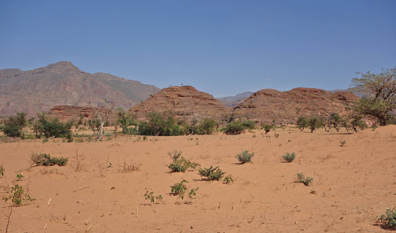
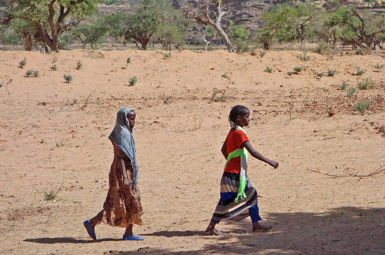
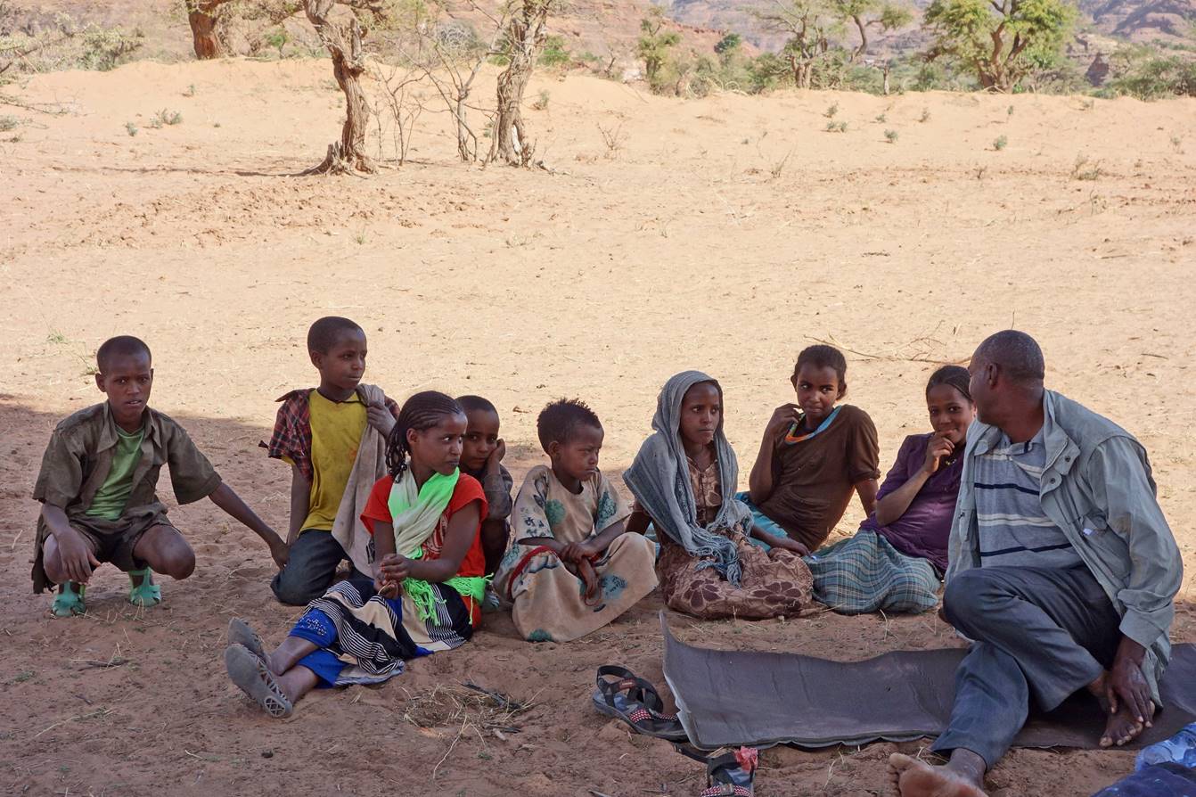
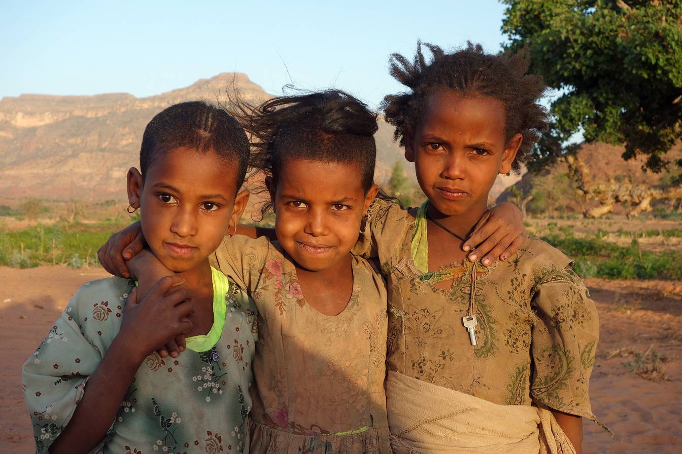
We set up our 3rd
camp in this area, and friendly children soon came to see us.

Our camp (waypoint
8).
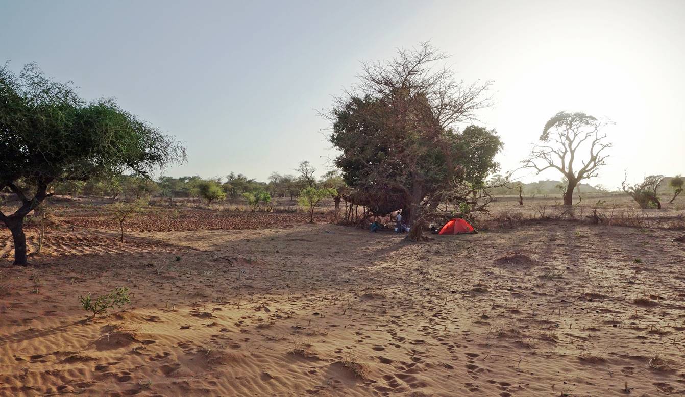
Gebrehiwet cooking under a large tree to get
protection from the wind (and the sand).

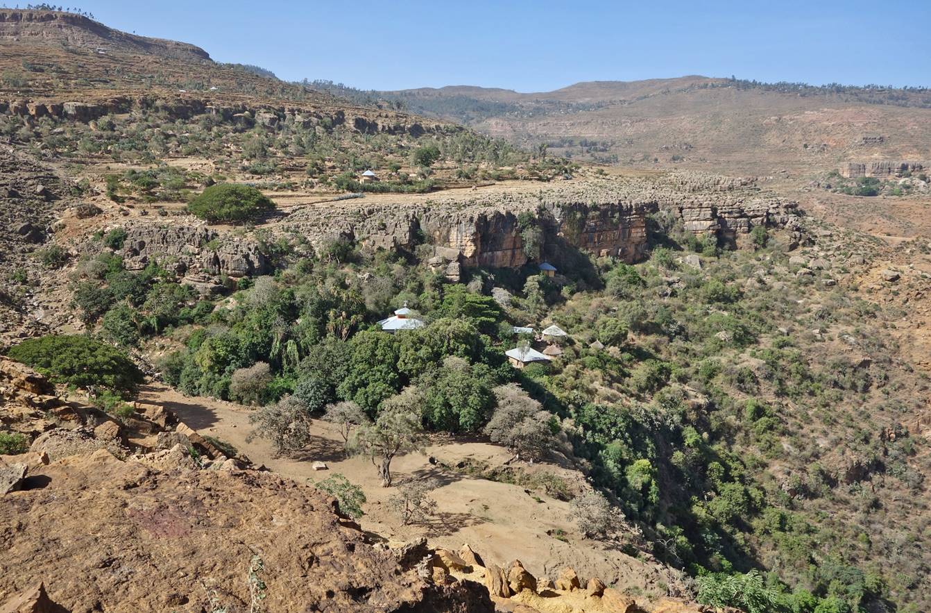
On the next morning Gebru and I retraced back some of our path of the previous
day to enter the side-valley in which the church of Maryam Hibeti
is located. The church remained invisible until we were very close to it.
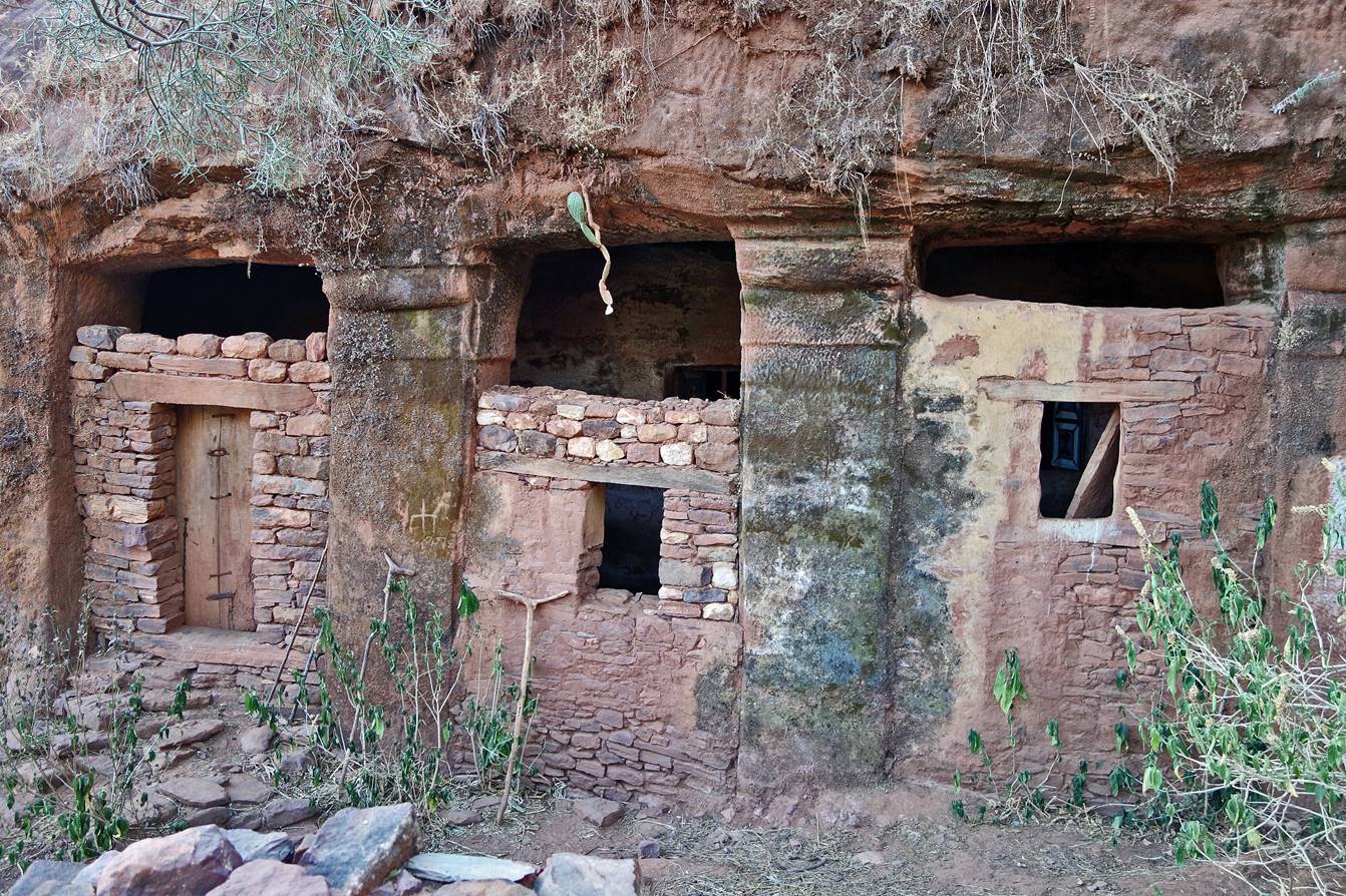
The external facade
of Maryam Hibeti with rock-hewn pillars.
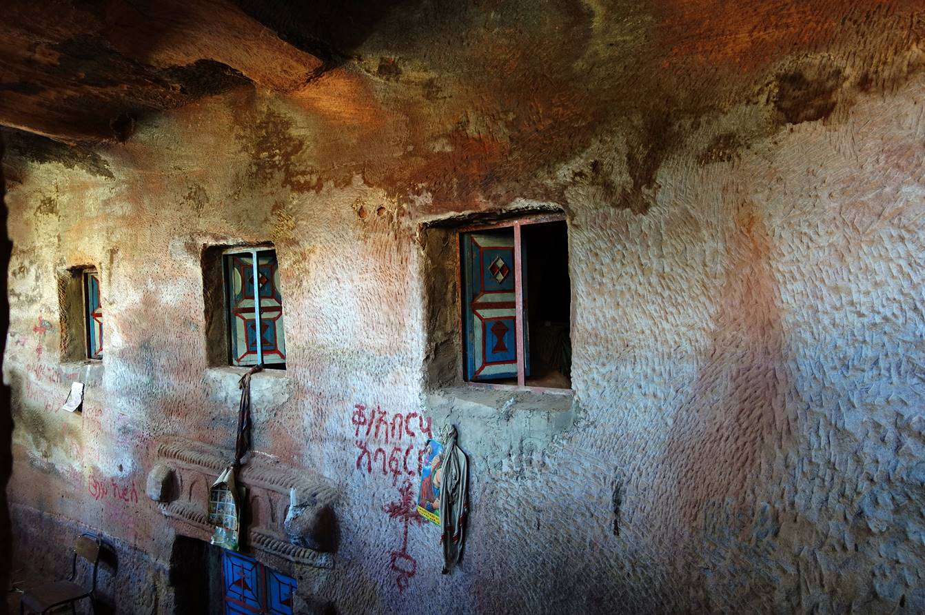
Unfortunately, we
could not find the priest and we only saw the church from outside. I took the
following photo through one of the openings. It shows the rock-hewn internal
facade of Maryam Hibeti. The church is partially
underground.
Sections of the
trip (click on the links
below to access the corresponding webpages):
-
2.
Maryam Hibeti to Abba Yohanni
and Gabriel Wukien
-
3. Gabriel Wukien
to Axum via Damo Gellila
-
6. Abuna Gebre
Mikael and Debre Tsion Abuna Abraham
-
7.
Hawzen to Medhane Alem Adi Kasho via Abreha we Atsbeha
|
|