India
(July-August
2018): Zanskar to Paddar
across Umasi La (5300m) - 1/3
|
|
Return
to main India 2018 webpage
This second leg of the trek starts at the Zongkhul gompa (3700m)
located 22km northwest of Padum in the valley
of the Malung Togpo
(river). It first follows this valley in the southwest direction, then turns to
the south to ascend the glacier north-east of Umasi
La. After crossing the steep pass it follows a long glacier to reach the valley
of the Bujwas river, then
the valley of the Bhuma river. The Bhuma valley leads to the small town of Gulabgarh. Located at the confluence of
the Bhuma river with the larger Chenab river, Gulabgarh is connected by
road to Kishtwar and Jammu on the west and to Keylong and Manali on the east.
The trek ends at the start of a road a few kilometers before reaching Gulabgarh. The last two days of the trek share the path
with an important pilgrimage, the Machel Mata, to a shrine dedicated to the Goddess Durga. This shrine is located in the village of Machel on the Bhuma river, next to WP #72 in the Google Earth views below. This month-long
annual pilgrimage, which started on June 25, 2018, was still ongoing during my
trek. It attracted over 100,000 pilgrims in the month-long period.
Location map:
Google Earth views:
|
|
|
|
Entire leg. |
Part 1/3 of leg. |

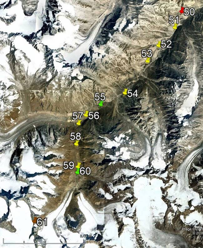
[Reminder: Click here (kmz file) and open the
downloaded file in Google Earth to access the GPS waypoints (numbered 1 to 49 for
the first leg and 50 to 78 for the second leg) that I recorded during the trek:
red pins for starts, orange for finishes, green for camps, brown for passes,
and yellow for other waypoints. Only WP #61 (Umasi
La) was not GPS-recorded, but entered manually.]
Day 1 of
second leg of trek:
Looking back at the Zongkhul gompa (visible below the center of the photo), where
we had spent the night, soon after leaving.

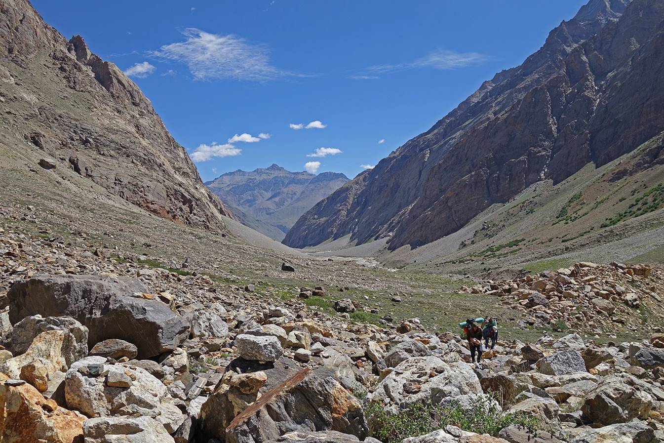
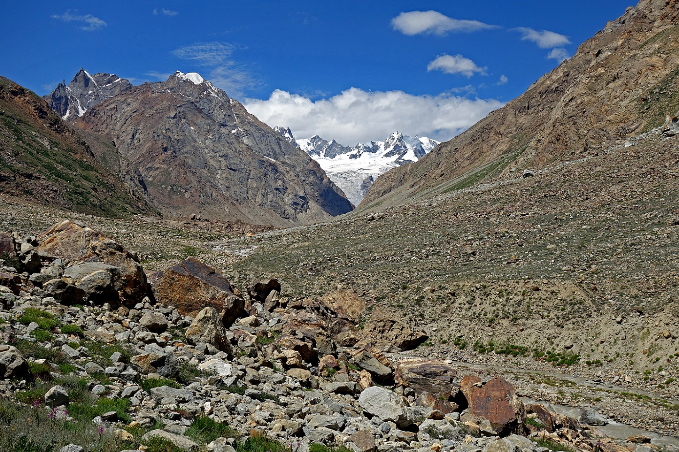
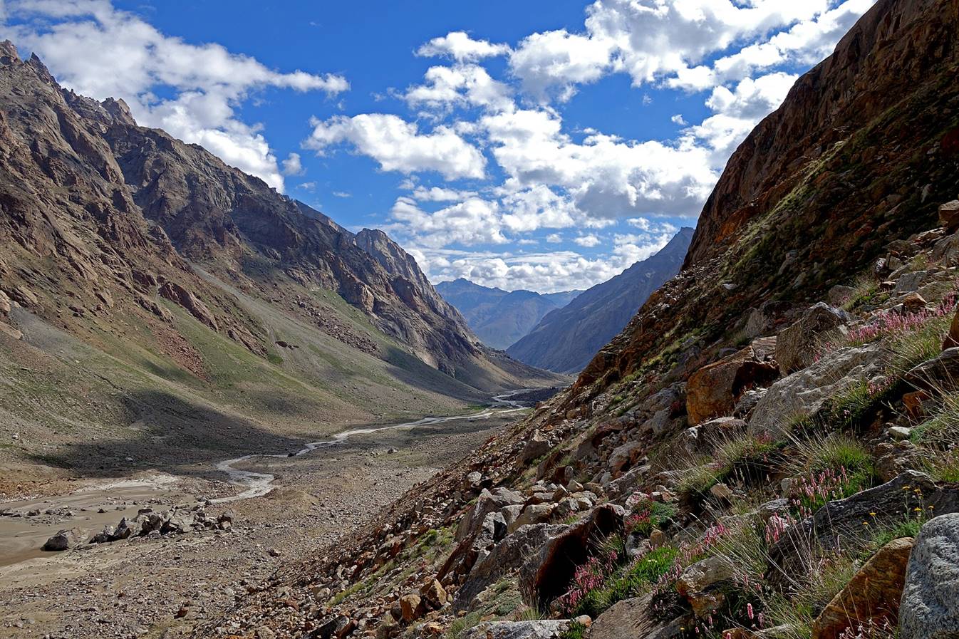
The valley of the Malung Togpo ahead of us.
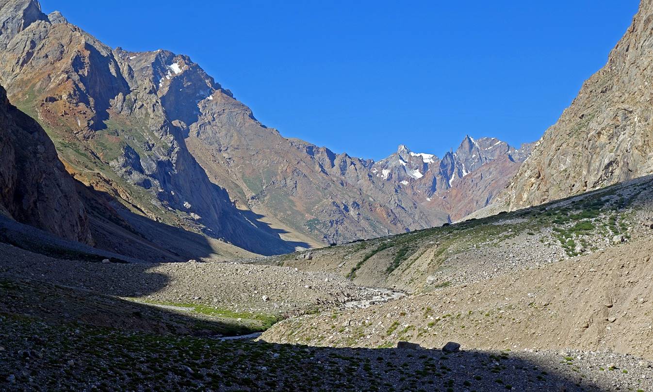
Further up.
A look down toward the gompa (no longer
visible).
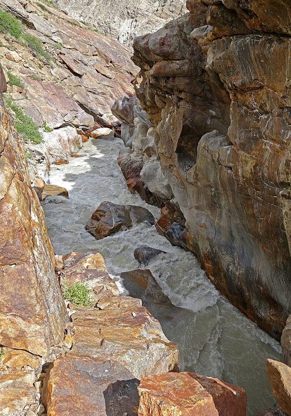
A natural ″bridge″ (actually, a stack of large fallen boulders)
across the Malung Togpo,
which allowed us to switch from the river′s left side to its right side.
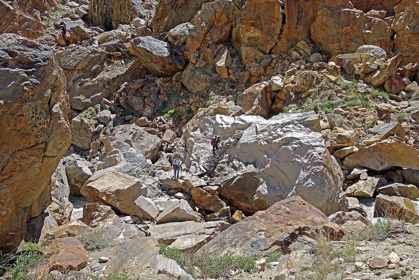
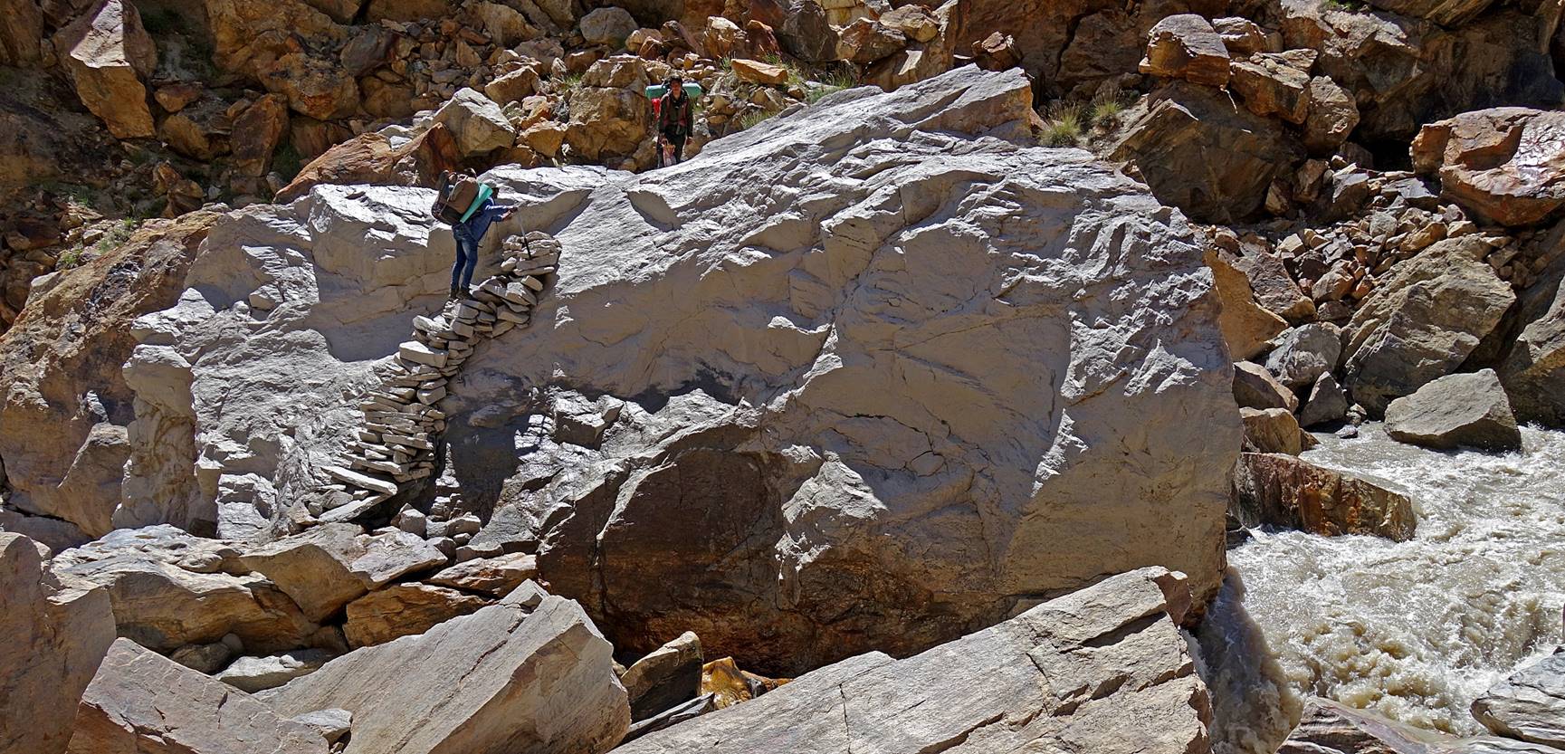
The ″bridge″ seen from the other side.
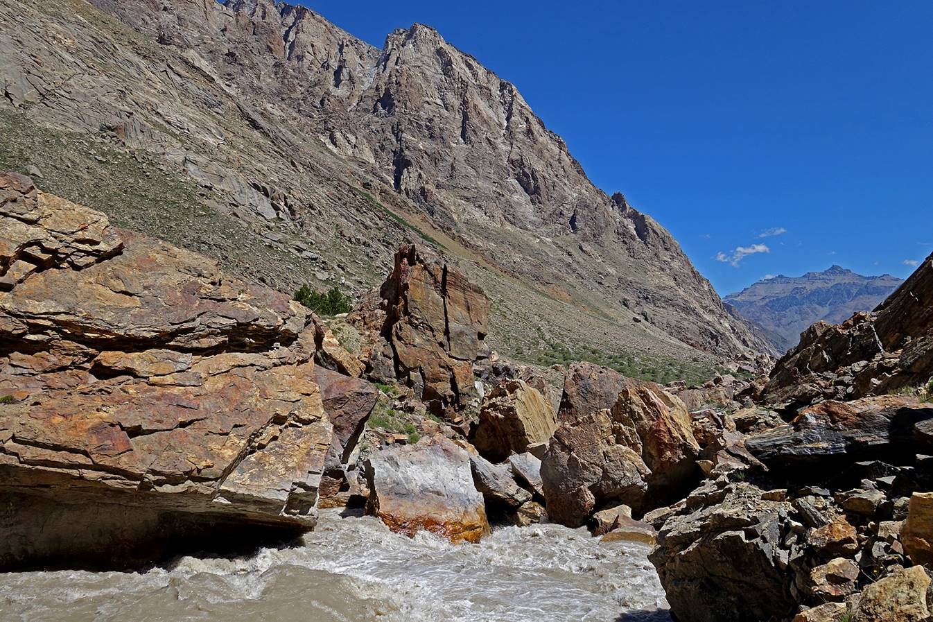
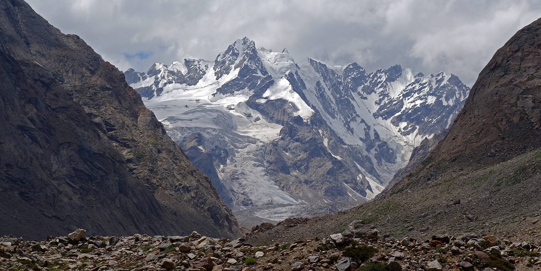
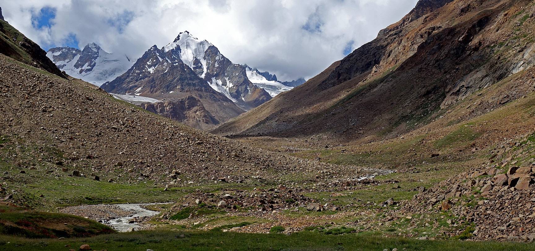
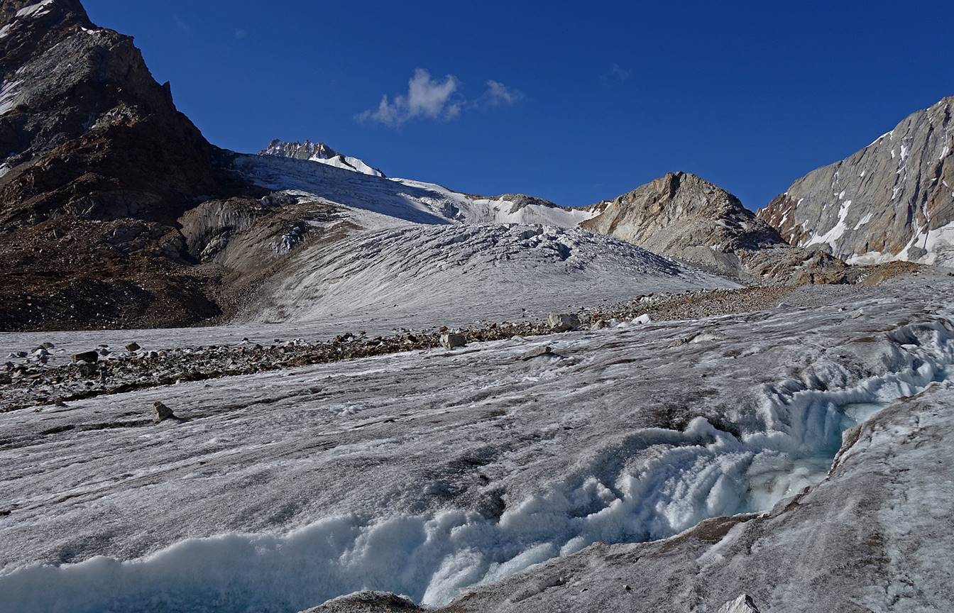
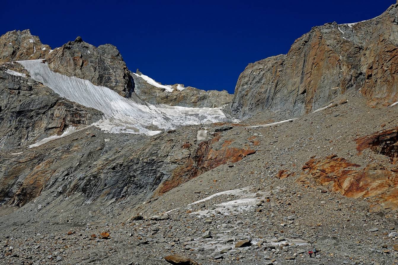
View upward with the Malung glacier in the
background.
Three members of the team had walked much faster and had already set up
our large yellow tent at the first camp of the leg (WP #55).
Zooms on the Malung glacier from the camp at
two different times of the afternoon.

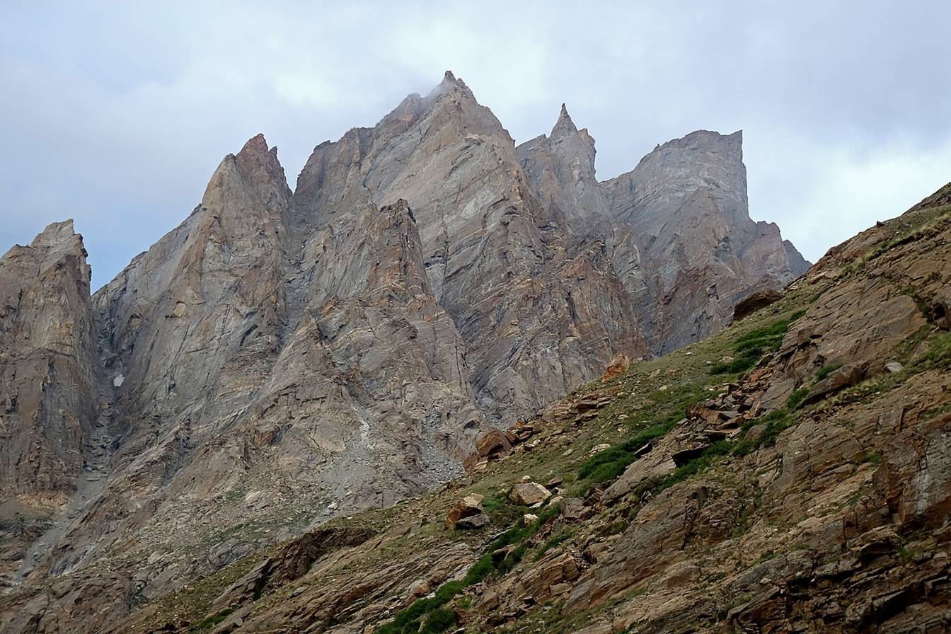
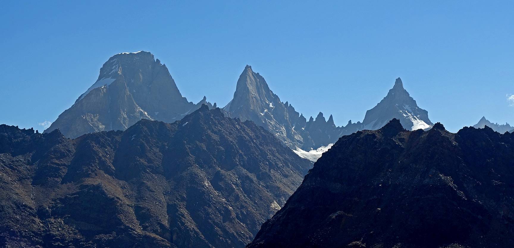
Spiky peaks above the camp.

Day 2:
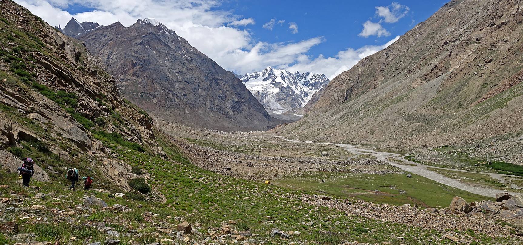
Soon after leaving the camp we started ascending the southern slope of
the Malung Togpo valley to reach
a smaller side valley leading to the glacier below Umasi
La.
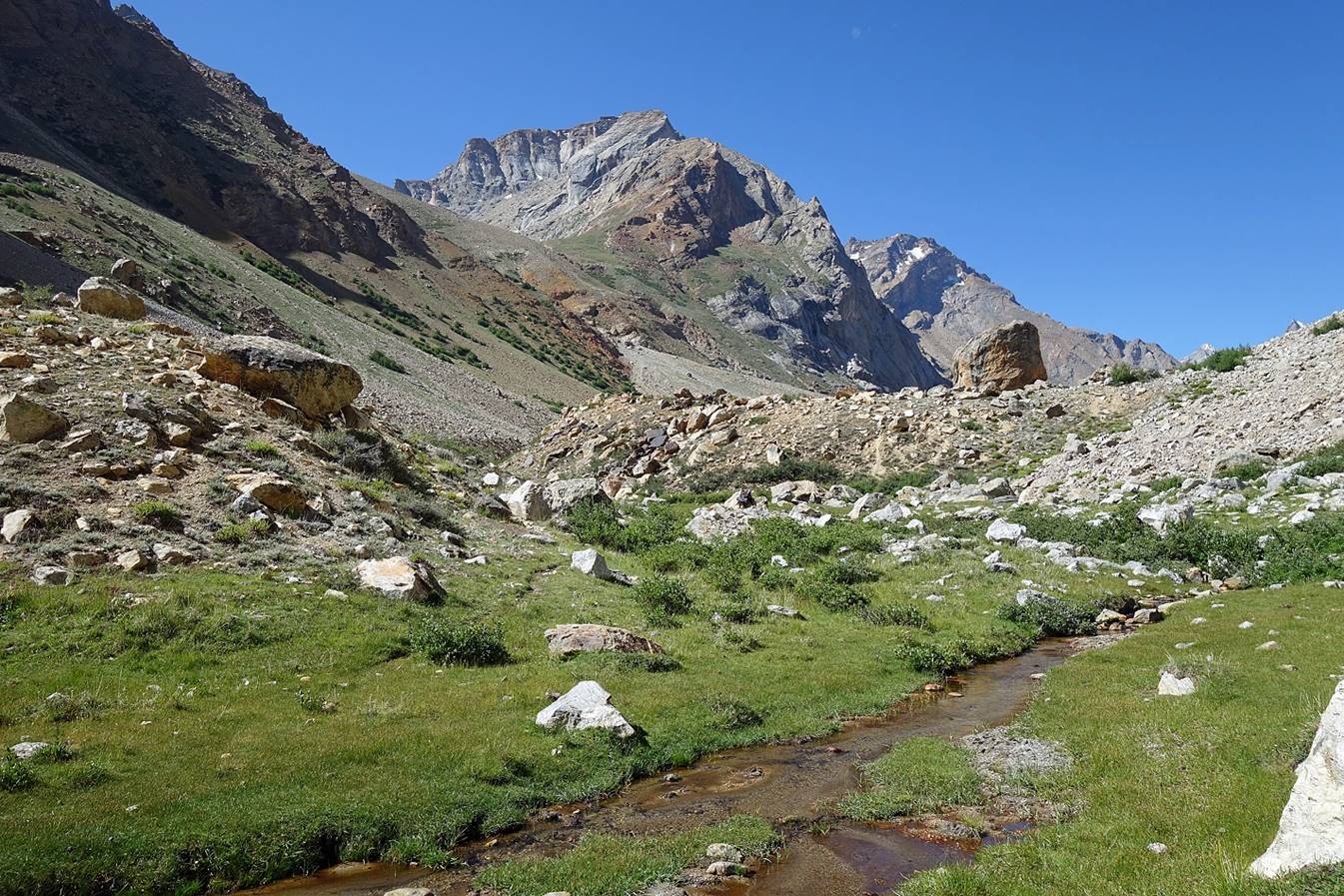
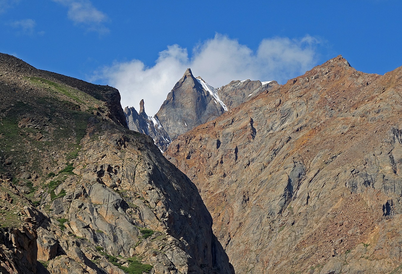
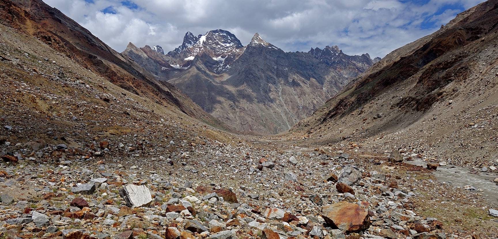
Views of the Malung Togpo valley during the ascent.
Entering the side valley.
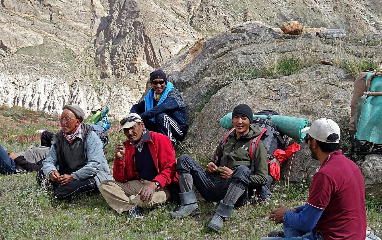
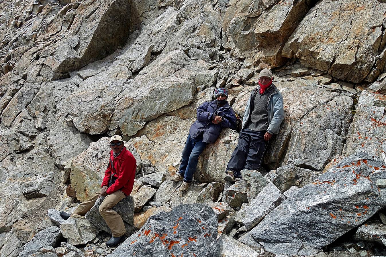
Good rest along the way. From left to right: Falkays
(hidden), Angchuk, Rinchen,
Tundup (sitting in the back), Stenzing
and Laskhap.
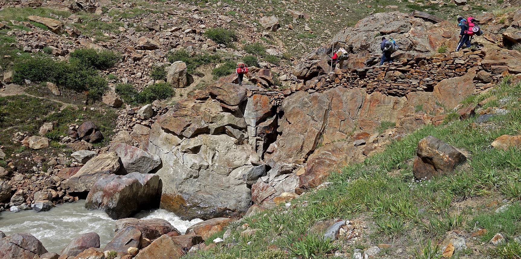
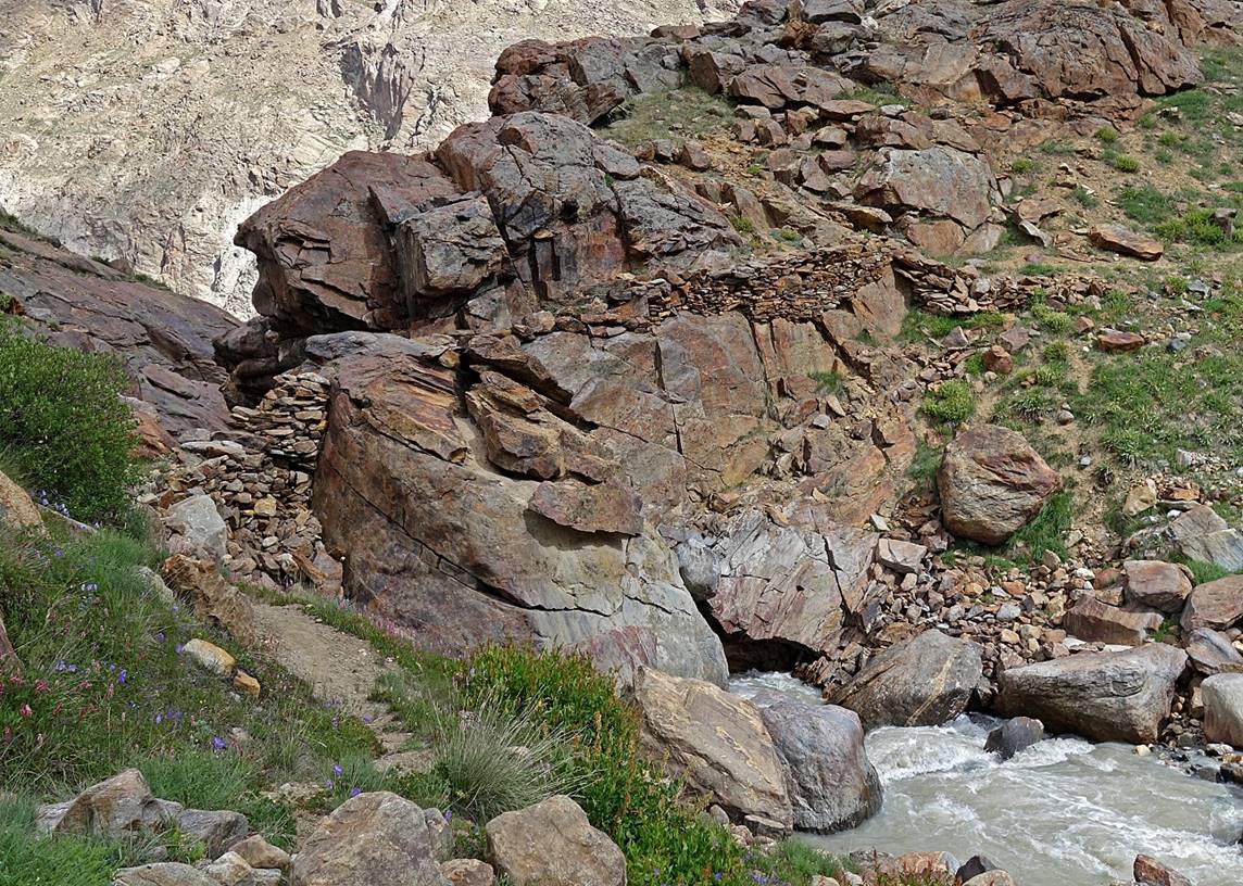
Path and narrow bridge made of stacked rocks across the valley′s river.
|
|
|
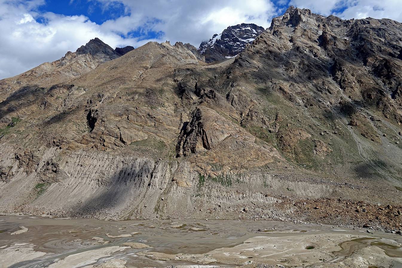
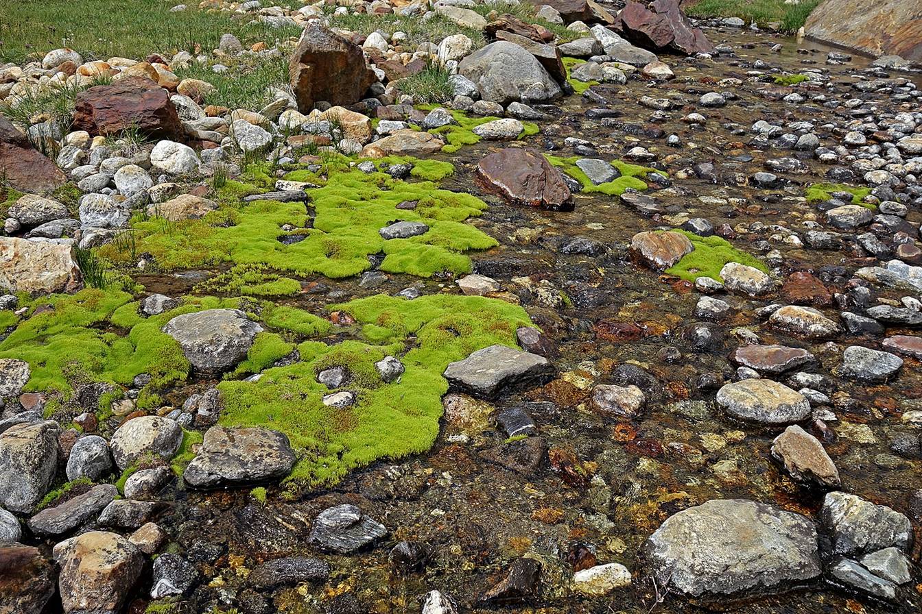
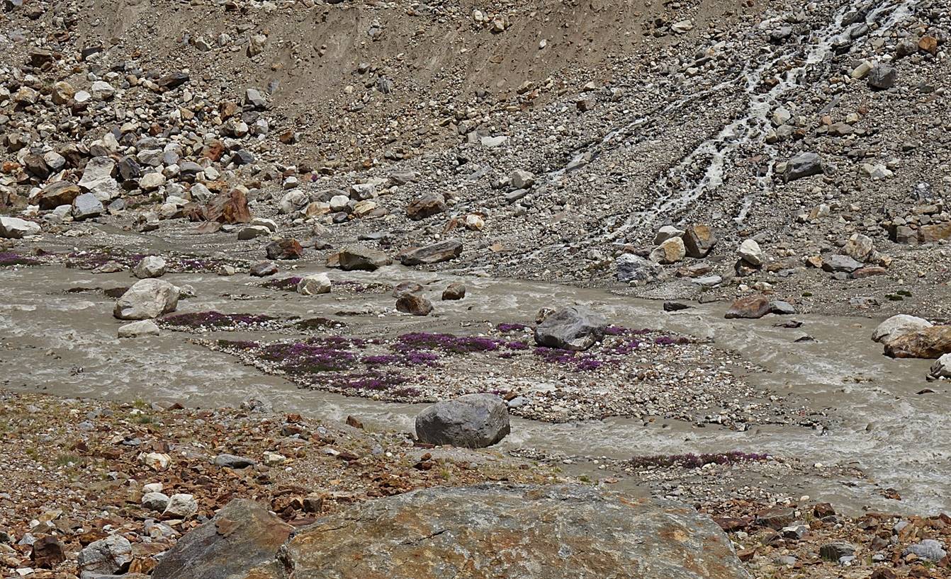
Unusually clear stream.
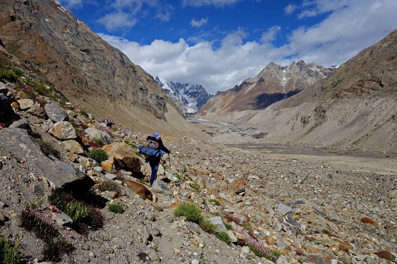
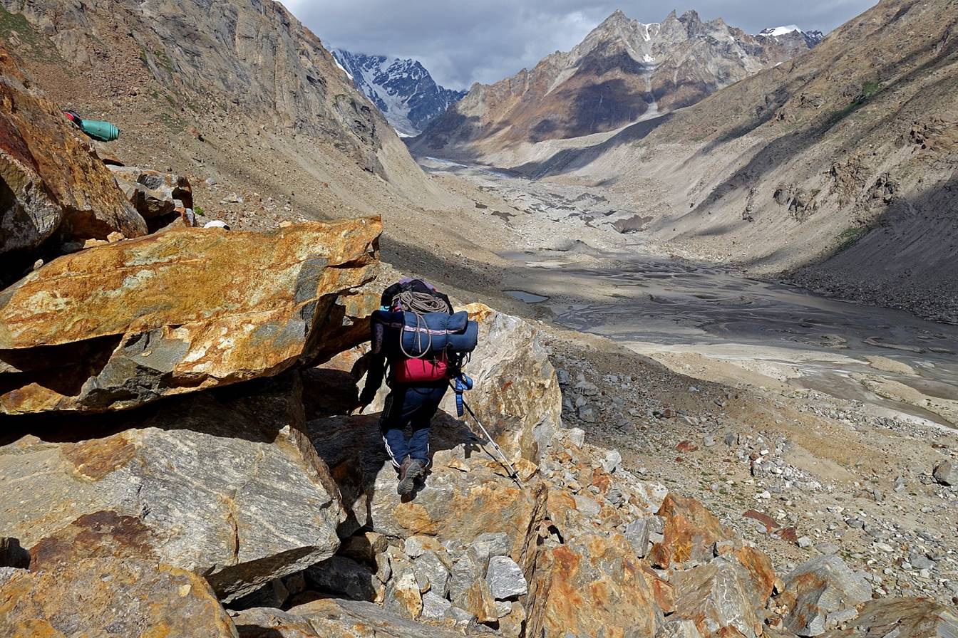
View down toward the Malung Togpo
valley soon before reaching our second camp.
We set our second camp (WP #60) on a last piece of flat sandy terrain
below the moraine of the glacier.
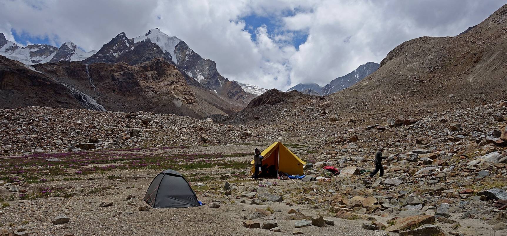
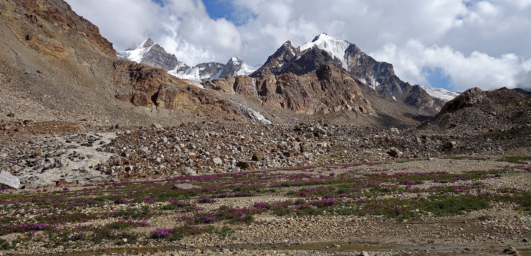
Flowers near our camp.

Another view of the camp.
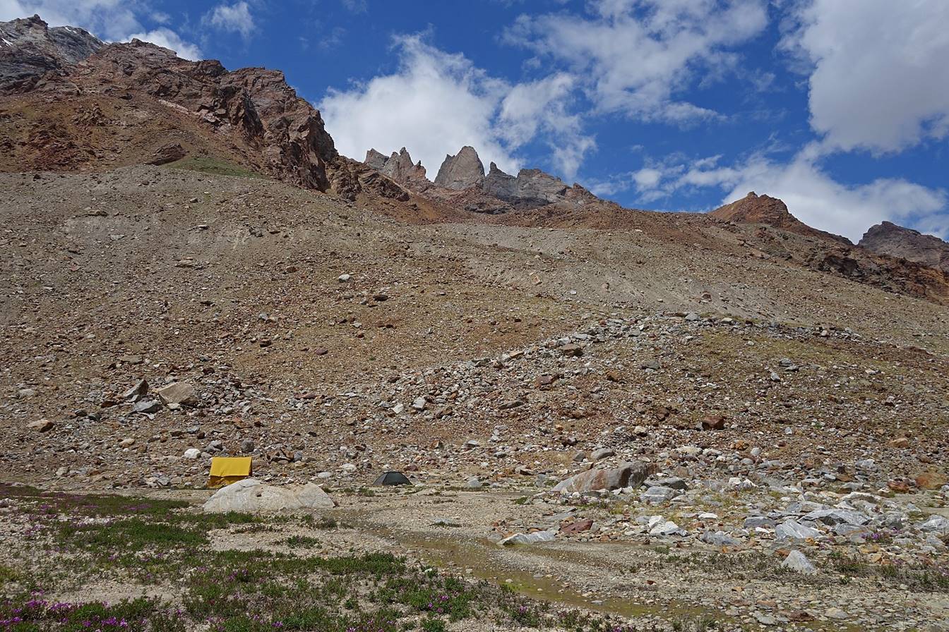
Other photos of the camp′s surroundings.


Day 3
(until reaching Umasi La):
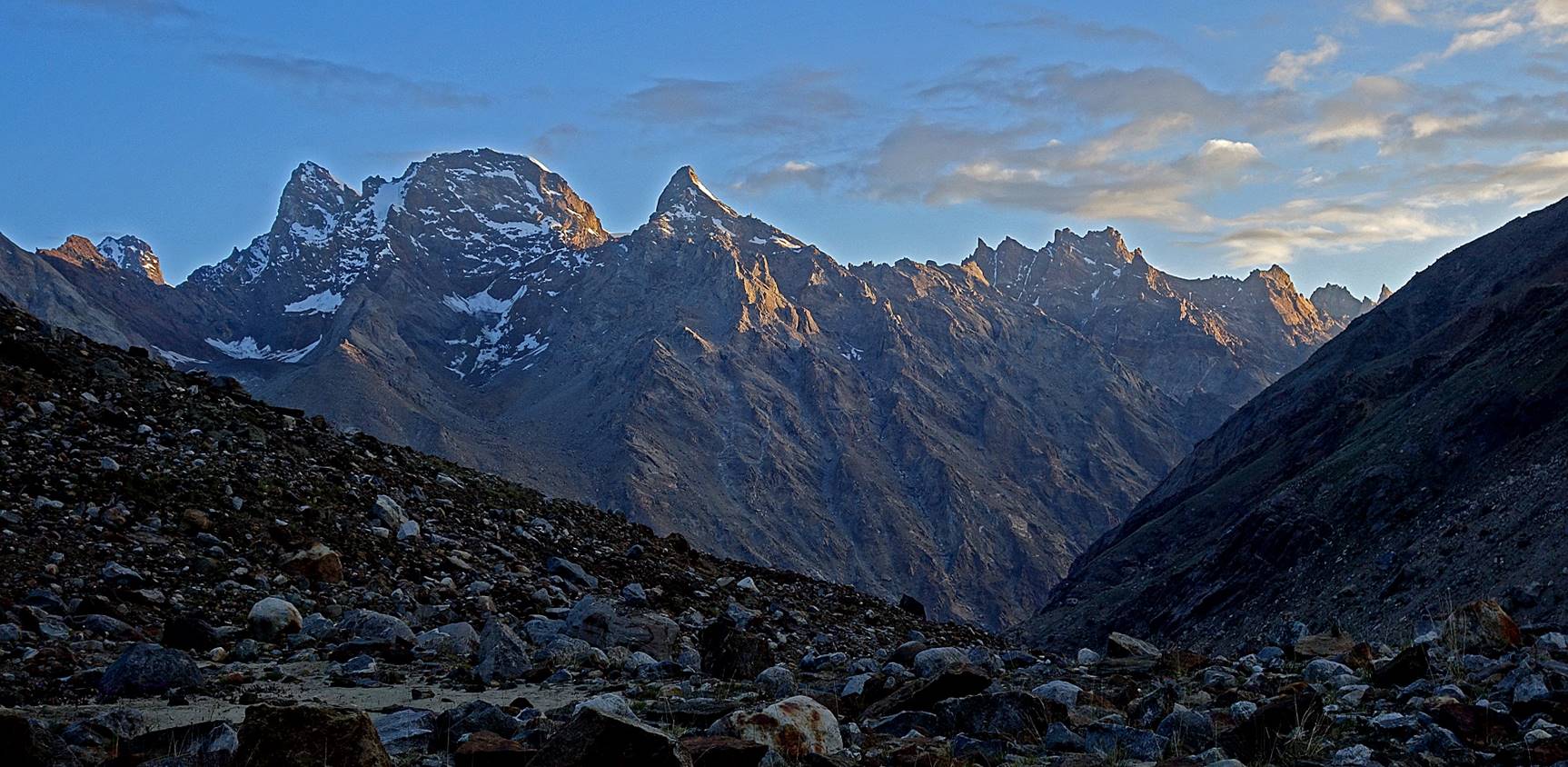
Beautiful sunrise over the mountain range located on the northern side of
the Malung Togpo valley
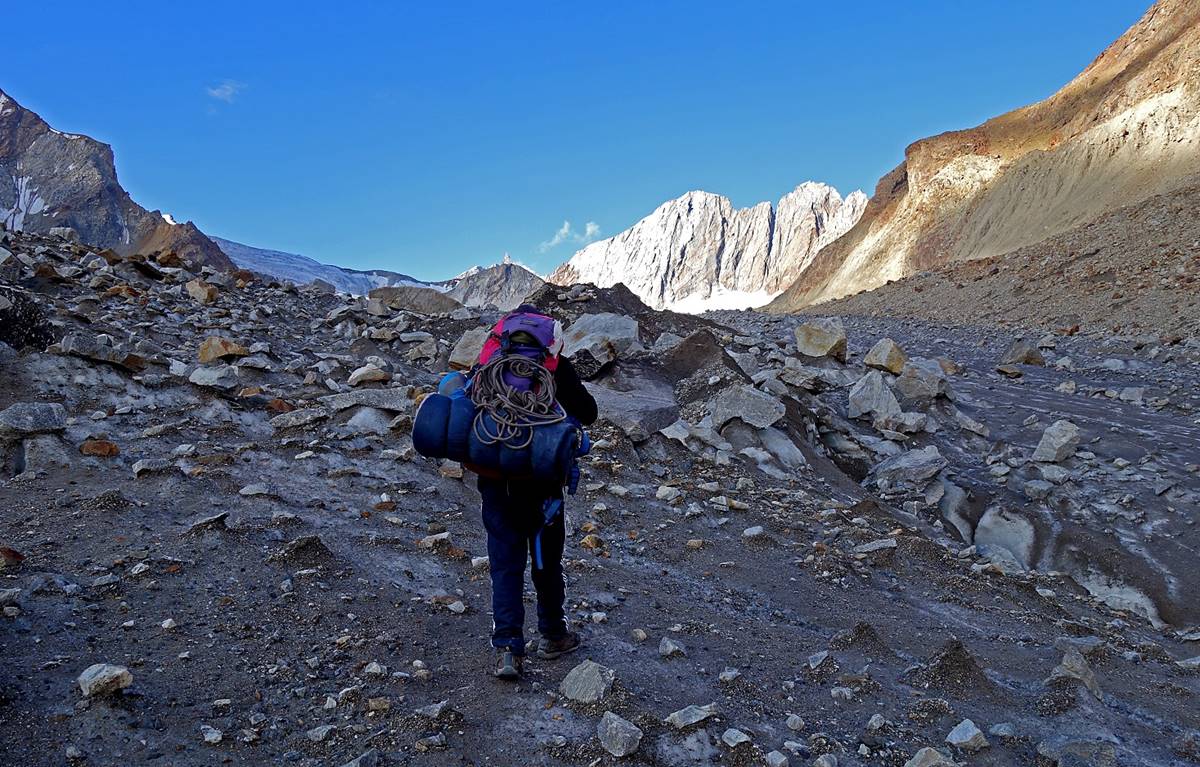
We had planned to cross Umasi La on that day. Here, Rinchen
leads the way. He had brought from his village a long wood stick to string
prayer flags at the pass.

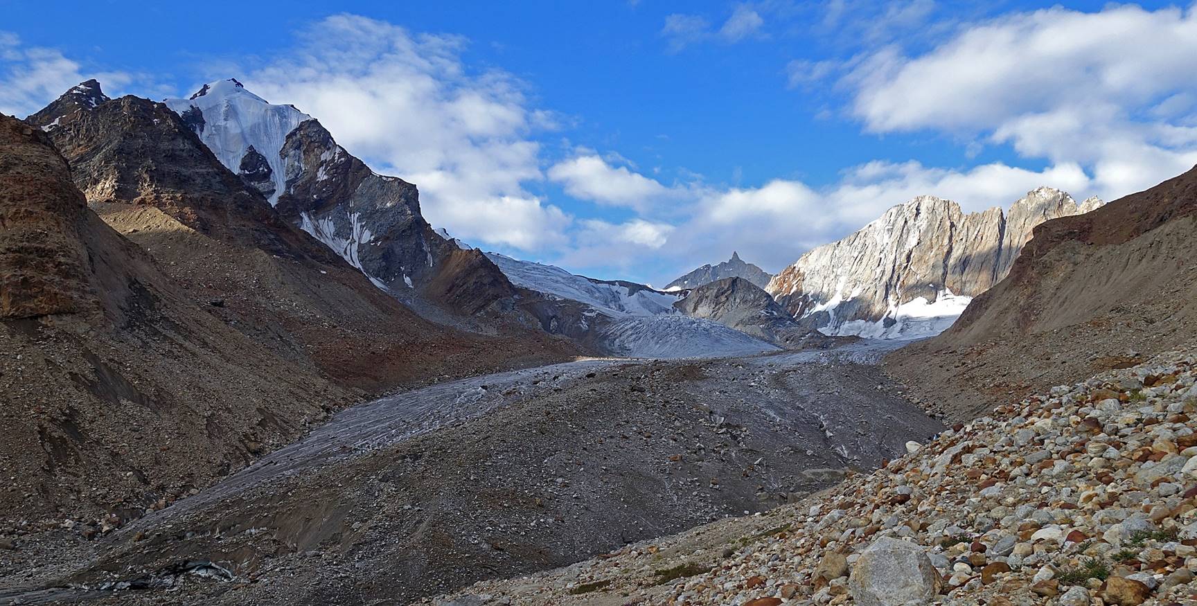
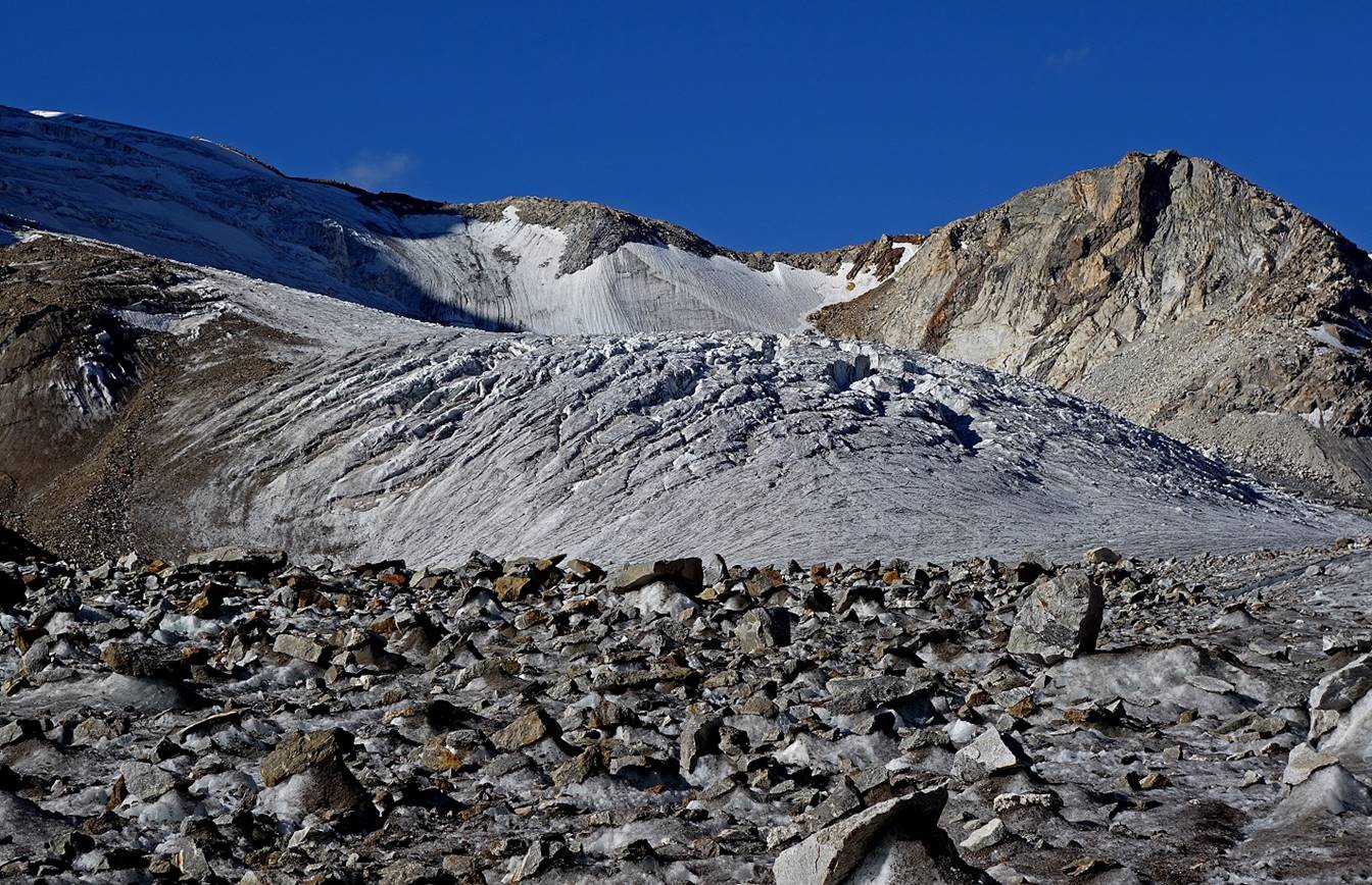
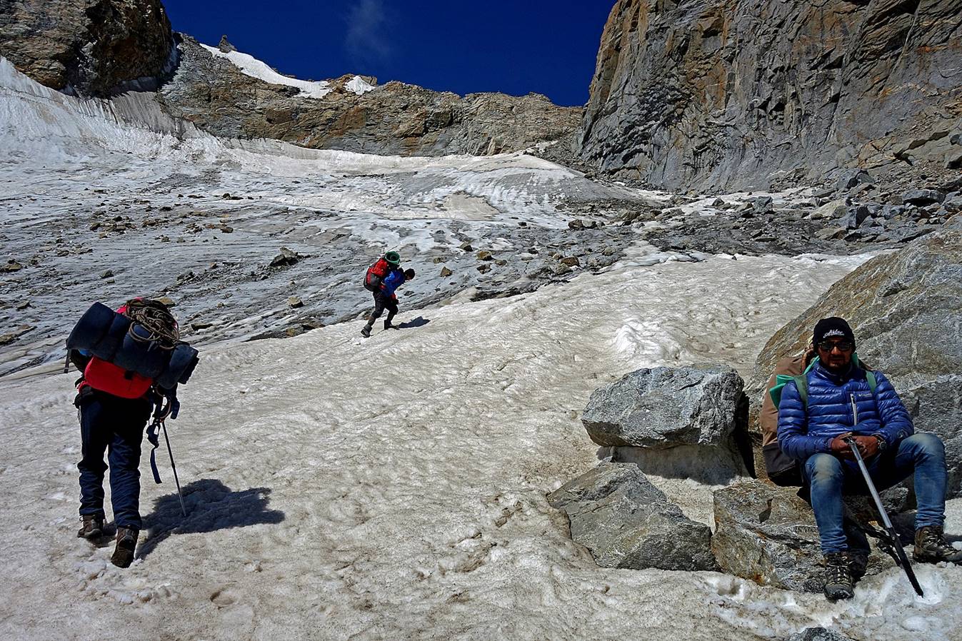
Soon the glacier came into view and we started hiking on ice (until the
base of Umasi La).
|
|
|


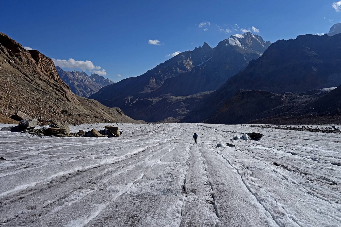
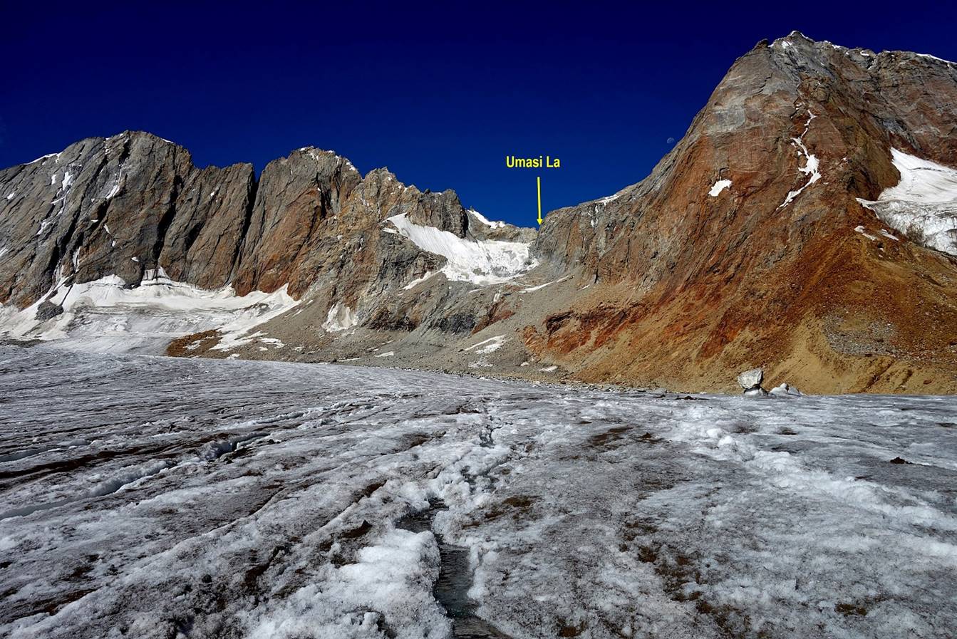
The pass is a narrow breach between rock cliffs. Its ascent from the
glacier is not very long but quite steep, especially near the top.
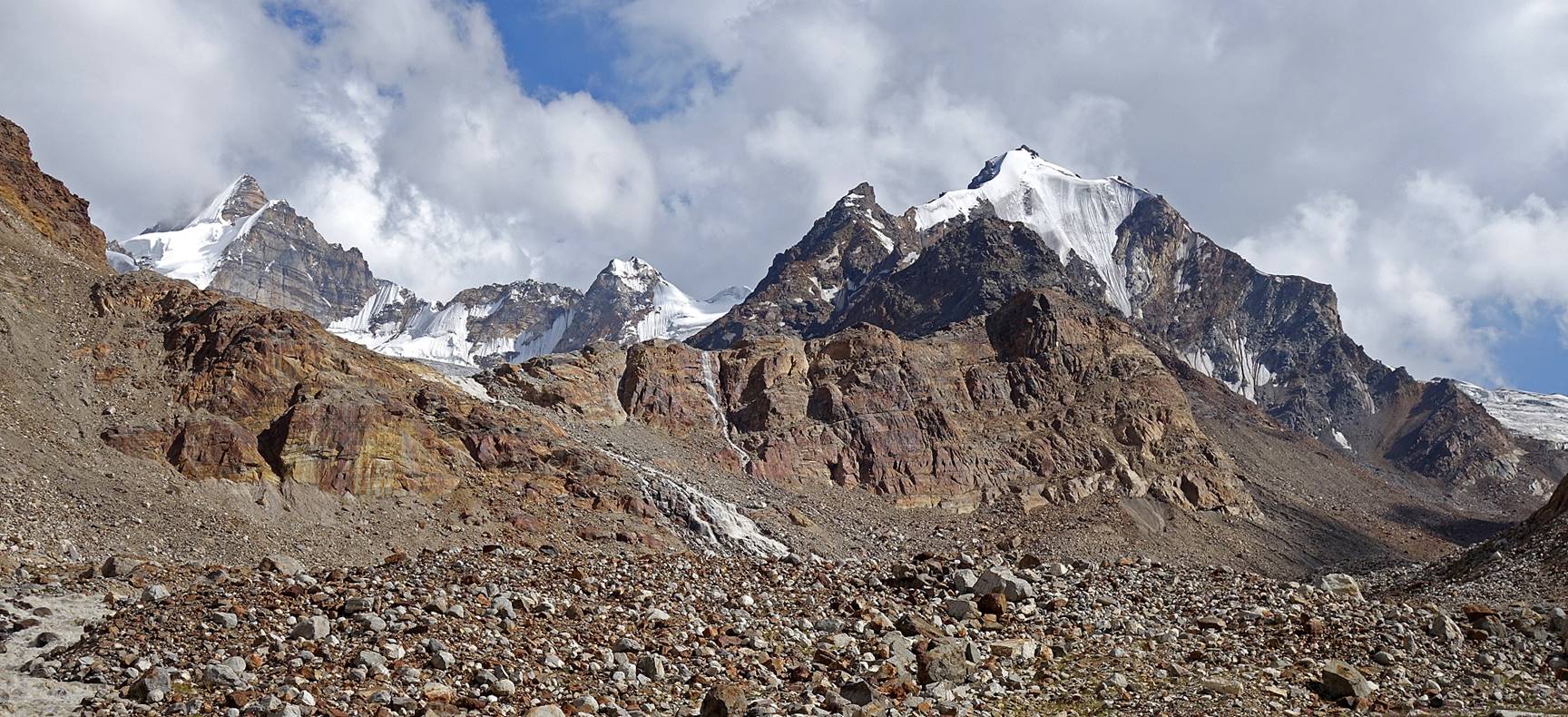
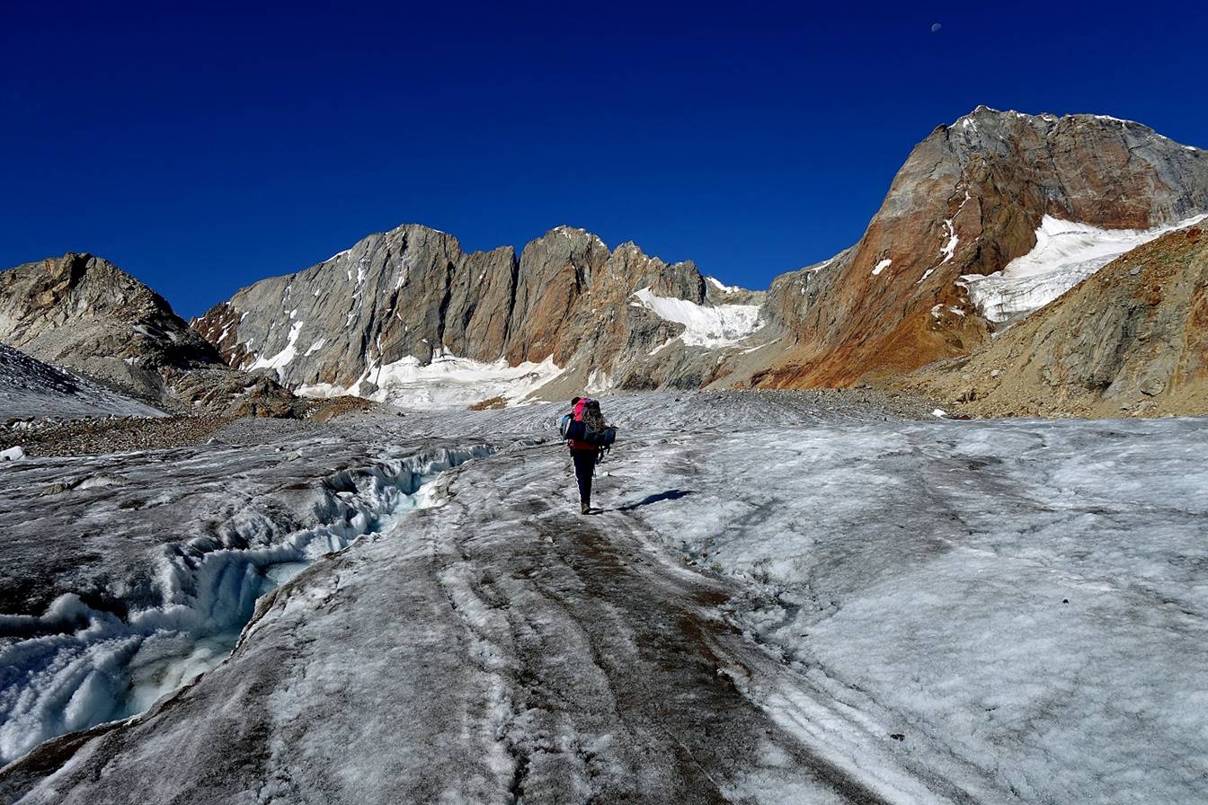
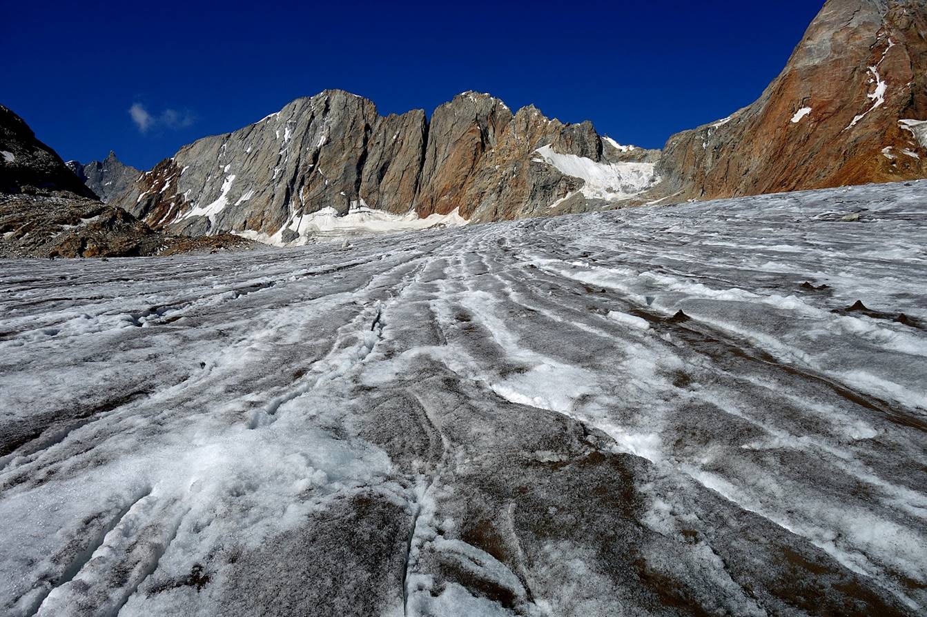
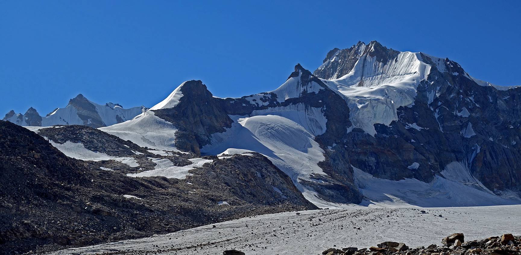
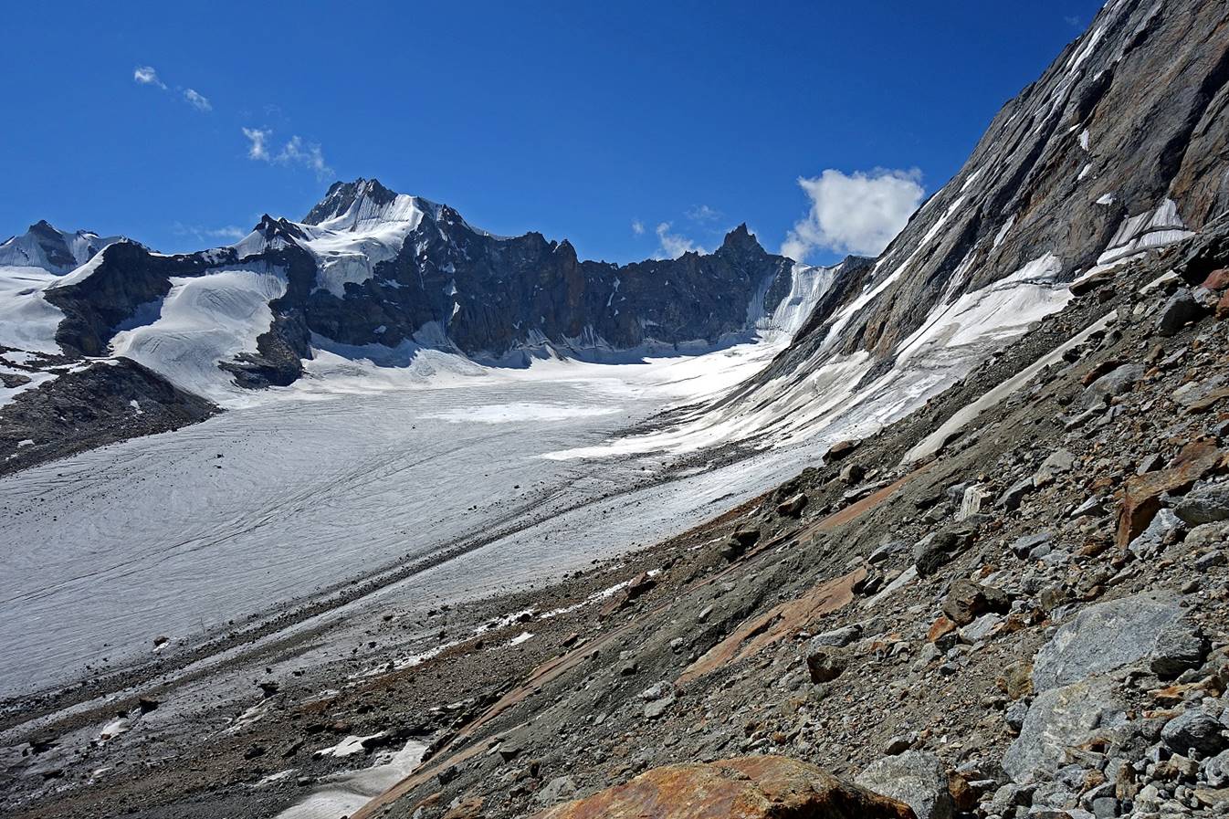
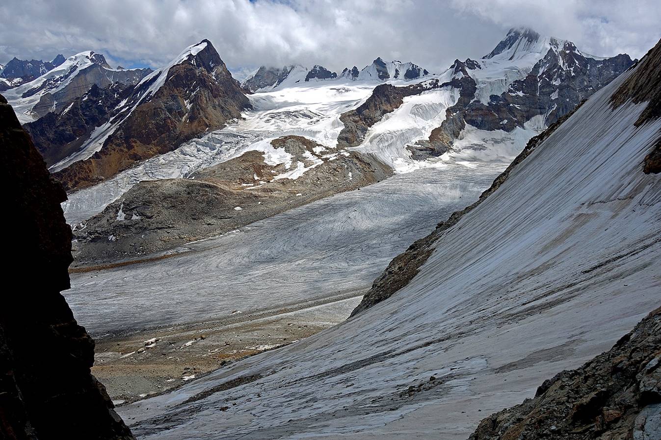
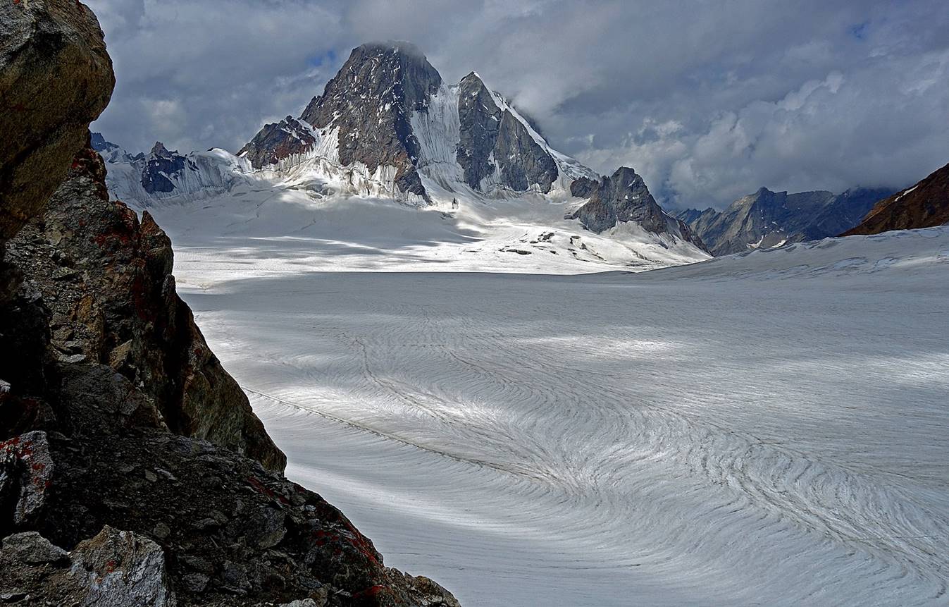
Views of surrounding peaks from the glacier before reaching the base of
the ascent.
A view toward the pass from the base of the ascent.
Views during the ascent.
From left to right: Tundup, Stenzing,
and Laskhap (resting).
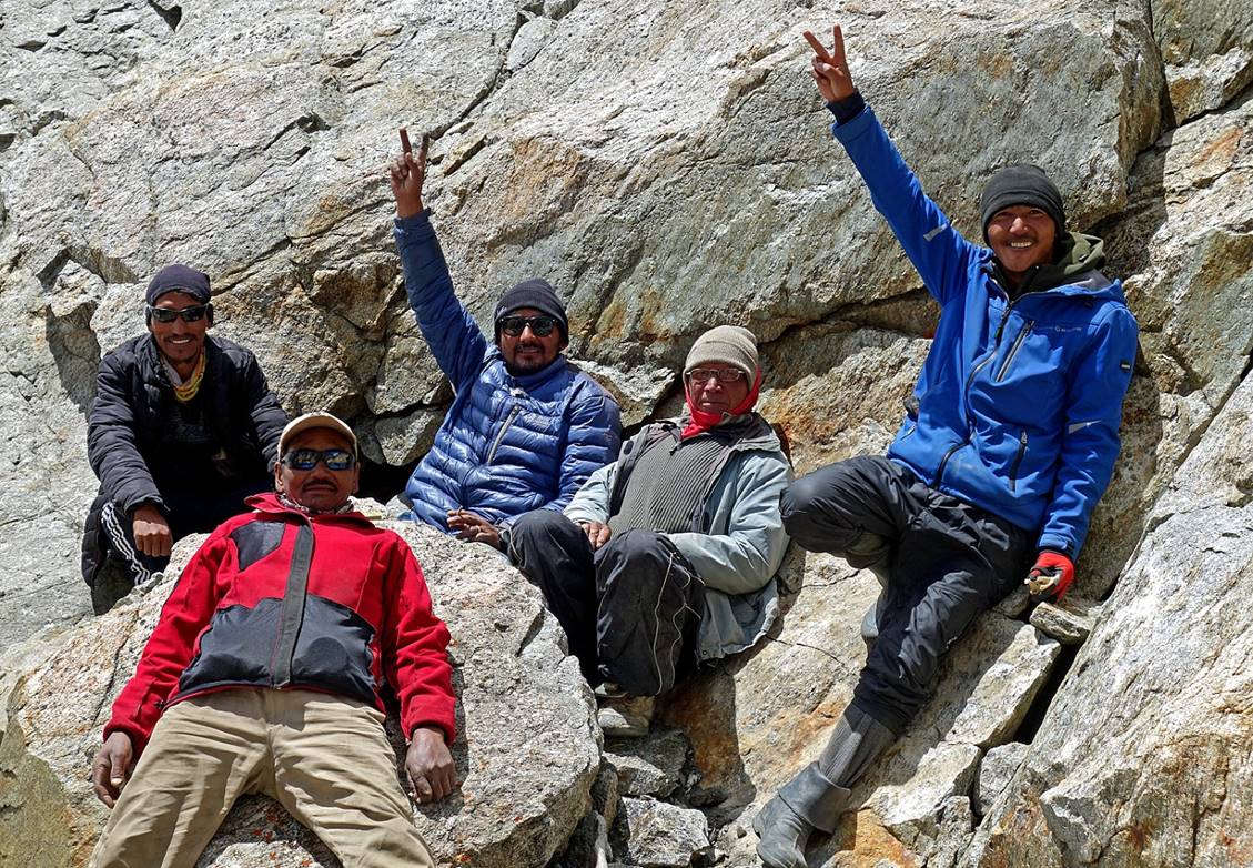
Rinchen, Falkays and Angchuk watching me reaching the pass.
The ascent slope seen from the pass.
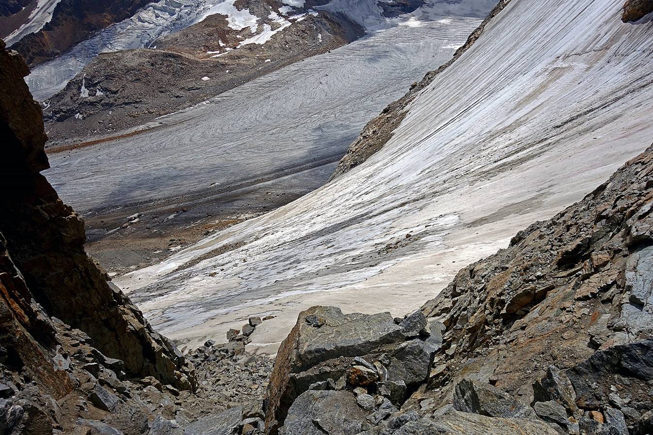
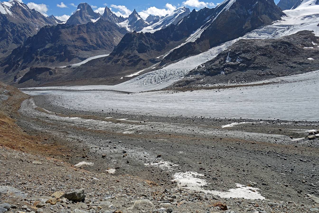
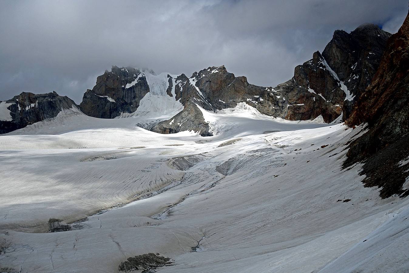
Views on the other side of the pass. Soon we will travel on the large
glacier in the first photo below to reach the valley on the right-hand side.
Stringing prayer flags using the long wood stick that Rinchen
had carried up to the pass.
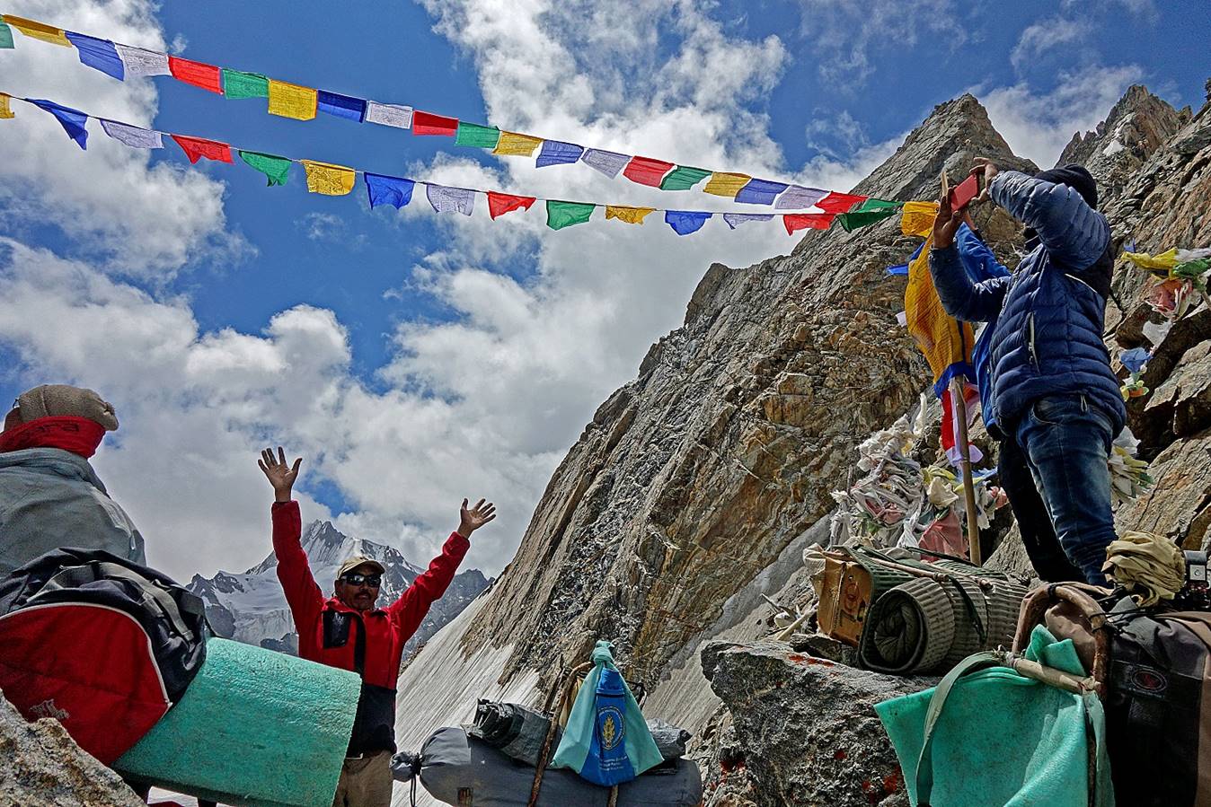
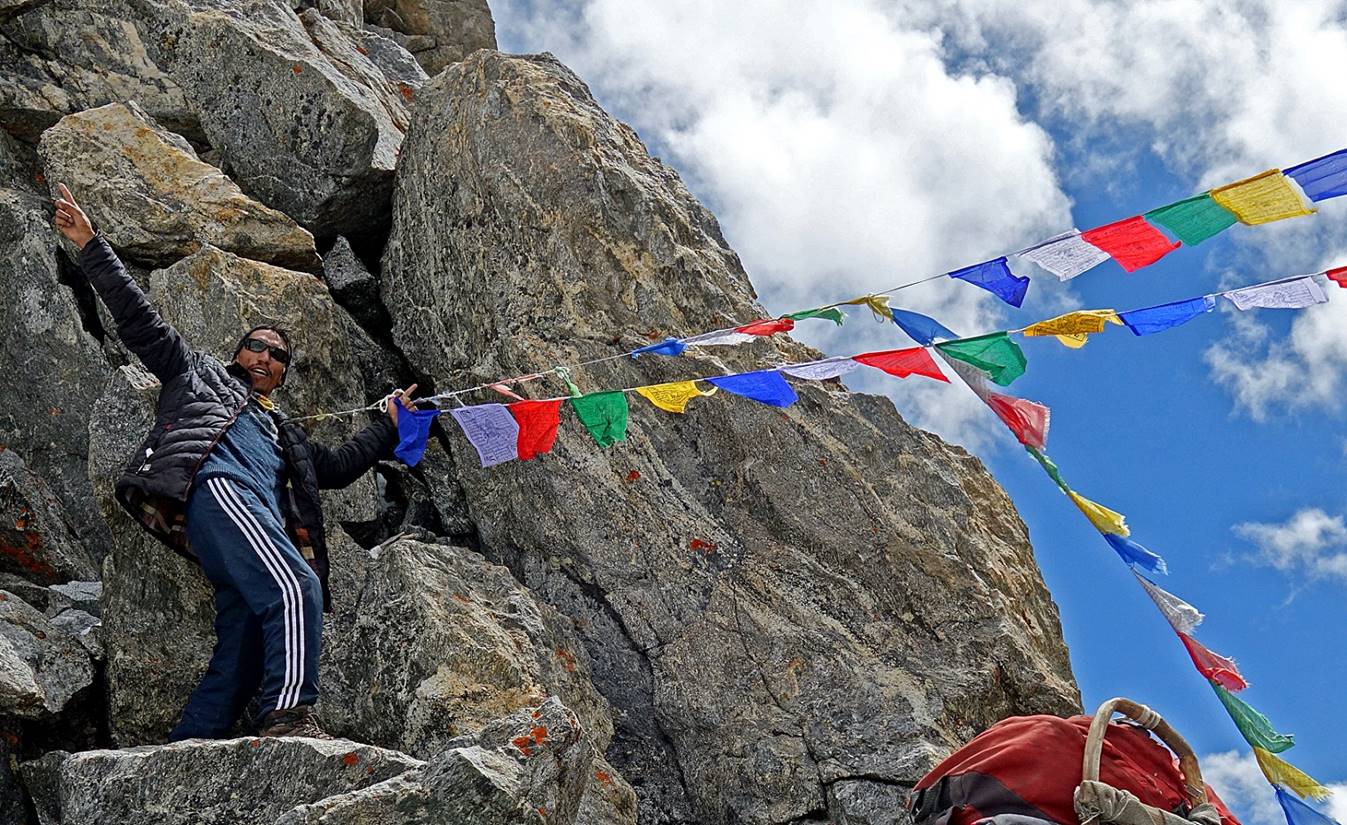
Celebrating the achievement.
|
|
|

To directly access
part 2/3 of the Umasi La crossing, click here.
![]()