India
(July-August
2018): Zanskar to Paddar
across Umasi La (5300m) - 2/3
|
|
Return
to main India 2018 webpage
Google Earth views:
|
|
|
|
Entire leg. |
Part 2/3 of leg. |
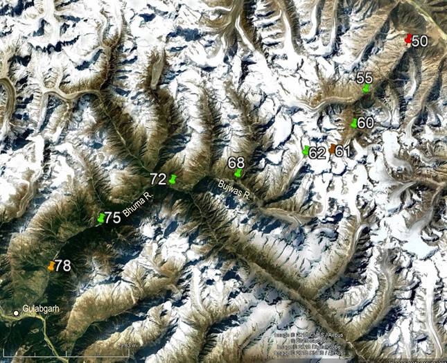

[Reminder: Click here (kmz file) and open the
downloaded file in Google Earth to access the GPS waypoints (numbered 1 to 49
for the first leg and 50 to 78 for the second leg) that I recorded during the
trek: red pins for starts, orange for finishes, green for camps, brown for
passes, and yellow for other waypoints. Only WP #61 (Umasi
La) was not GPS-recorded, but entered manually.]
Day 3 of
second leg of trek (after crossing Umasi La):
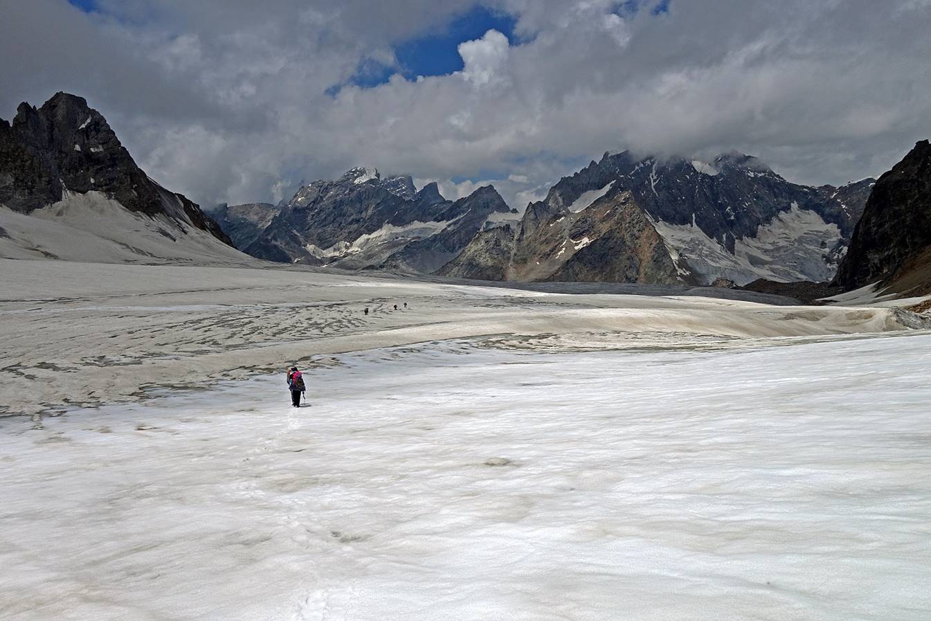
View over the glacier on the other side
of the pass. The goal is to reach the valley on the right-hand side of the
photo.
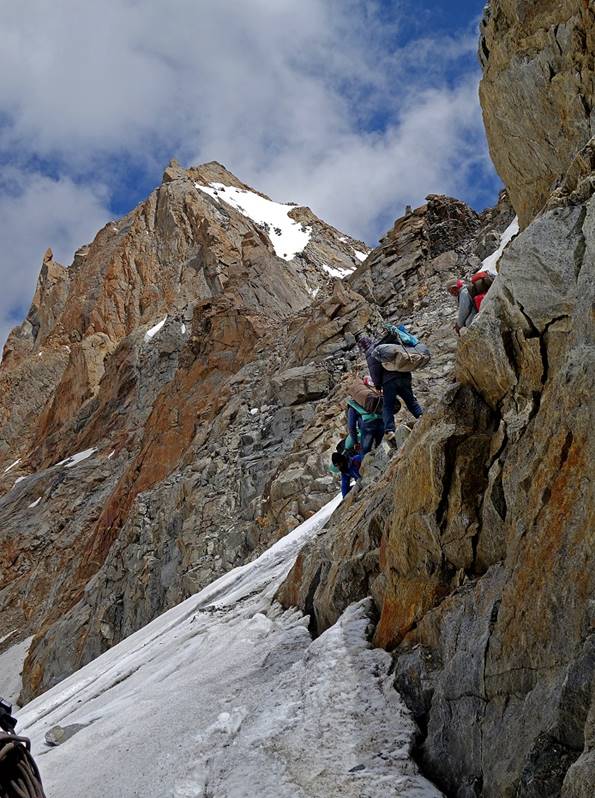
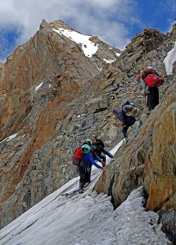
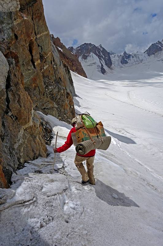
But first we must climb down a short steep icy slope.
|
|
|
|
Looking back at the pass (on the right of the photo). It no longer looks
that steep!
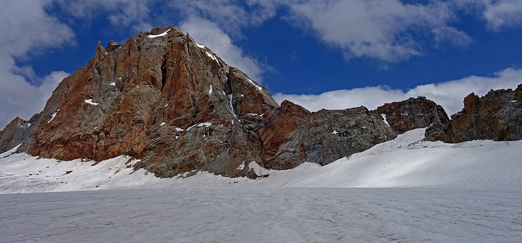
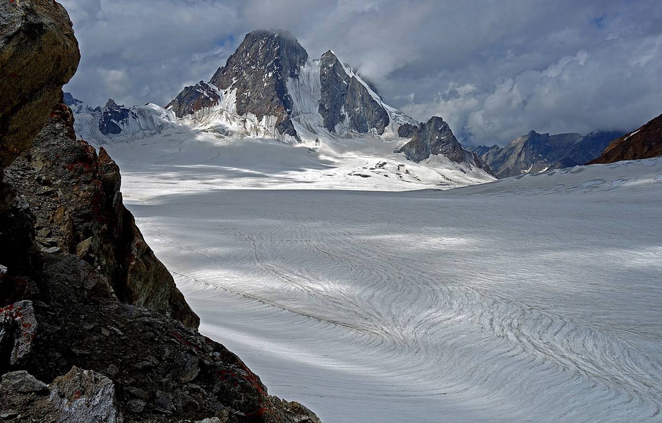
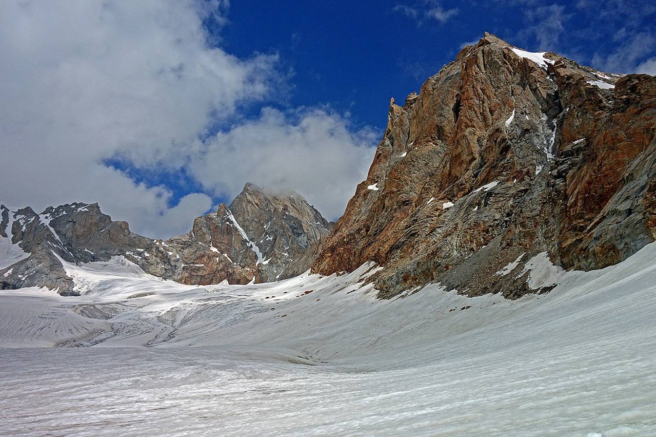
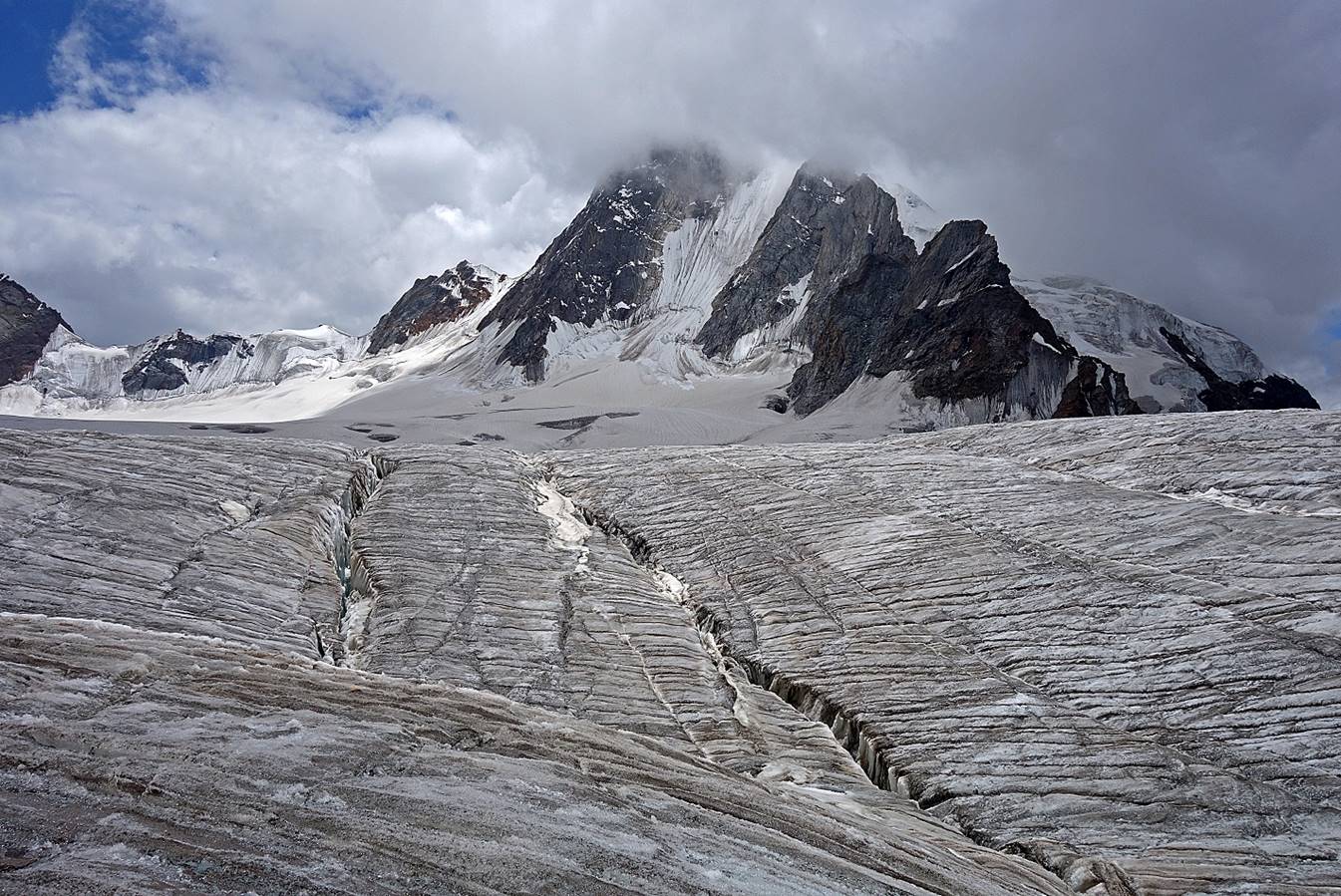
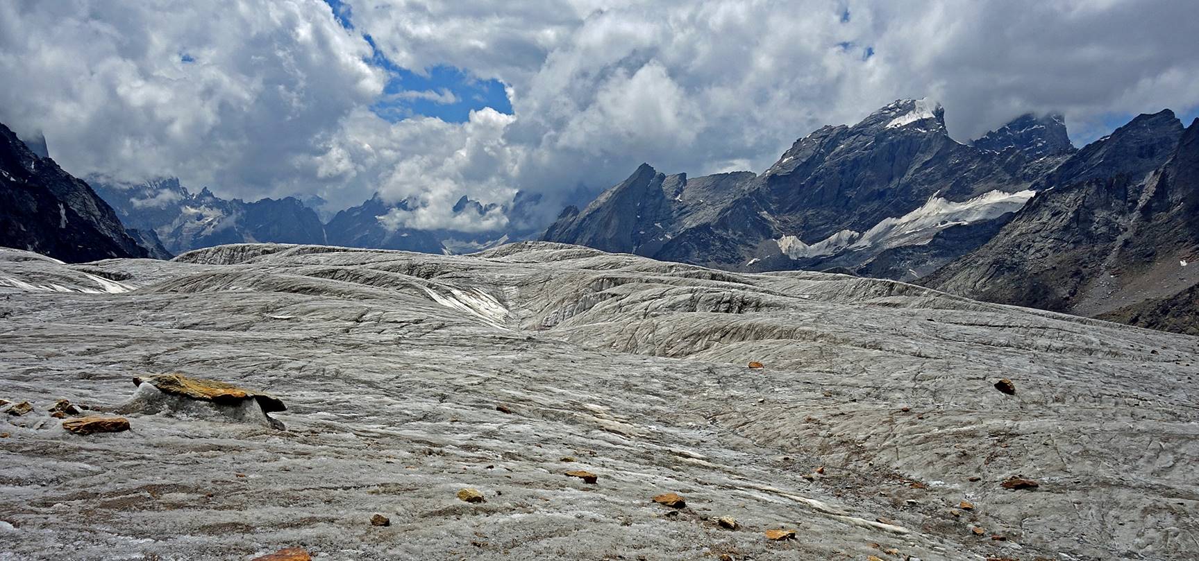
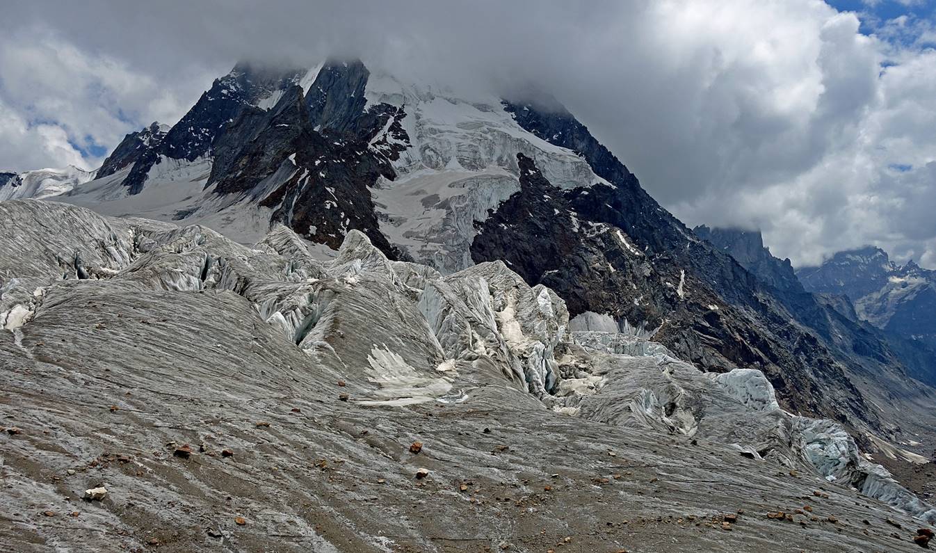
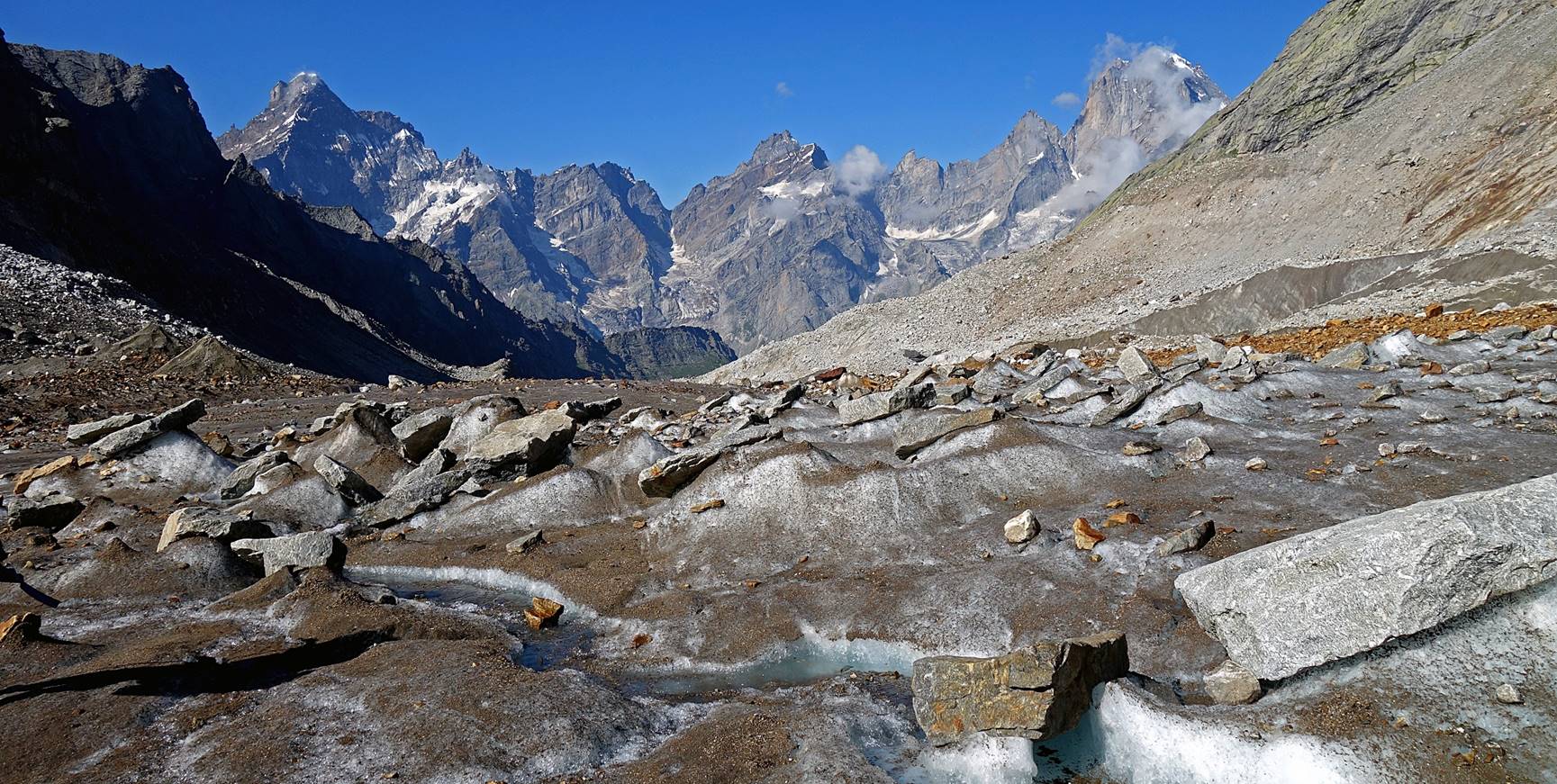
Views from the upper part of the glacier.
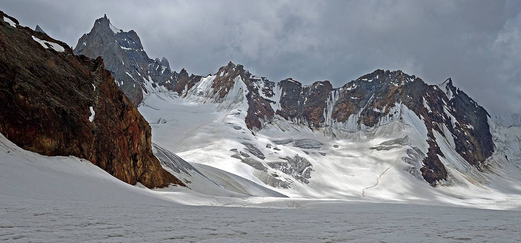
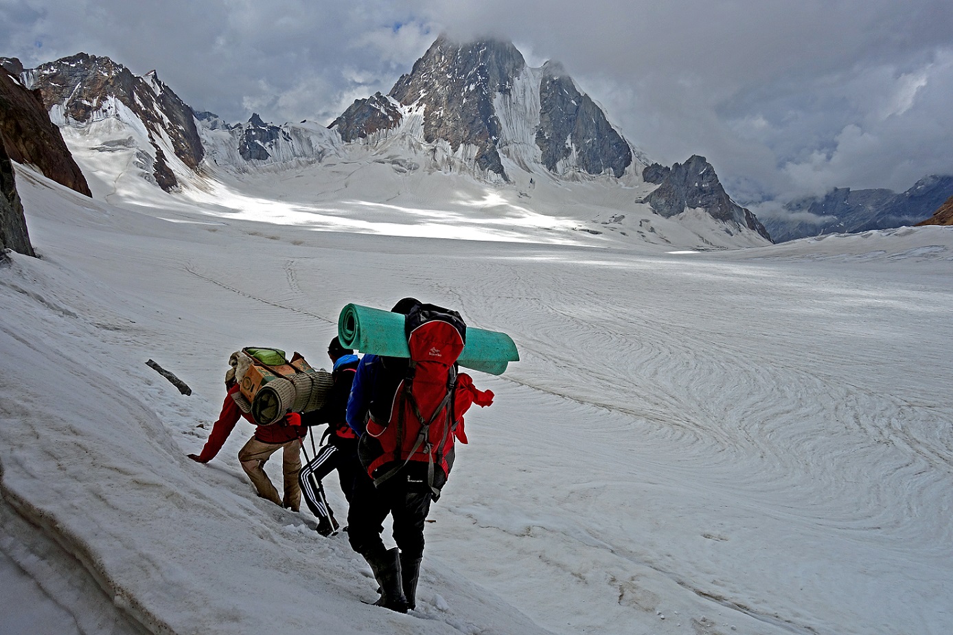
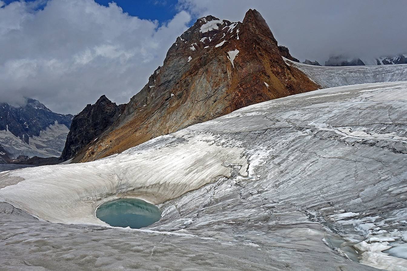
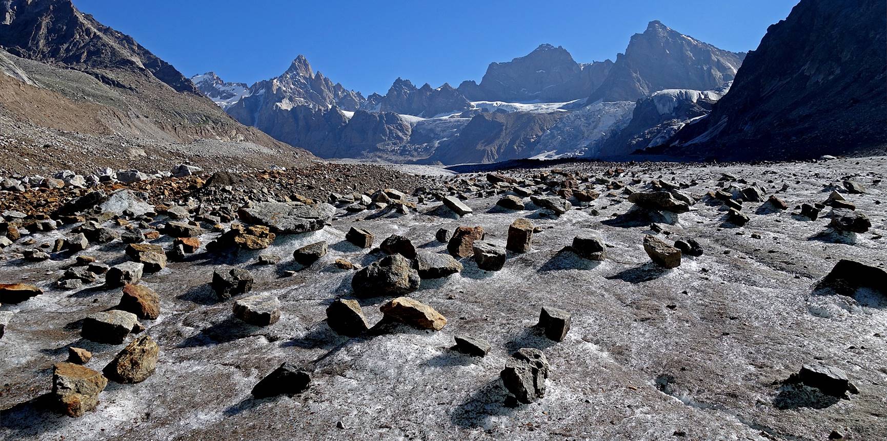
Further down, being careful with hidden crevasses. Fortunately, most
crevasses were easy to spot or too narrow to fall into.
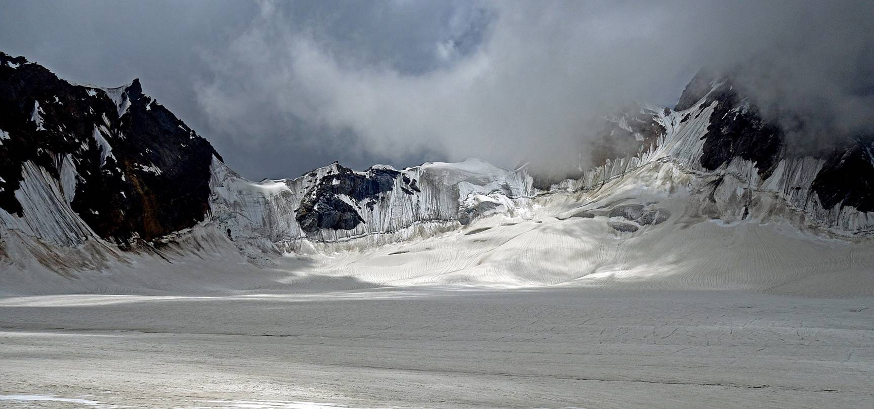

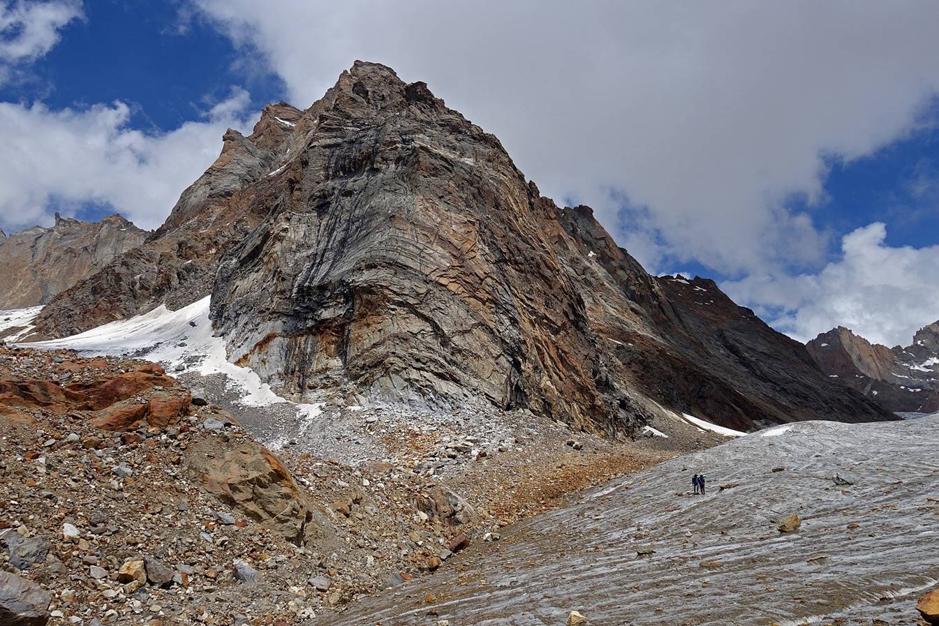
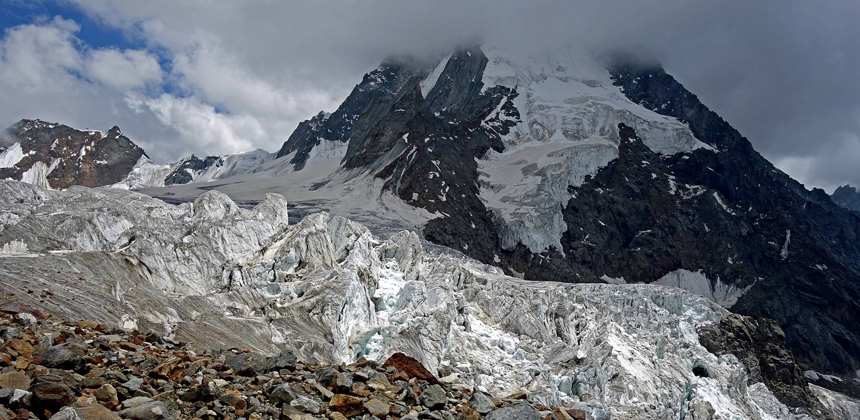
We made a short lunch break below this huge rounded cliff, just above the
location where the glacier starts steepening down dramatically.
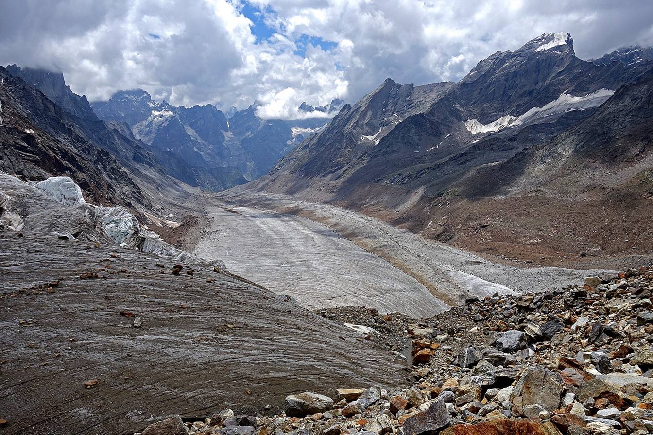
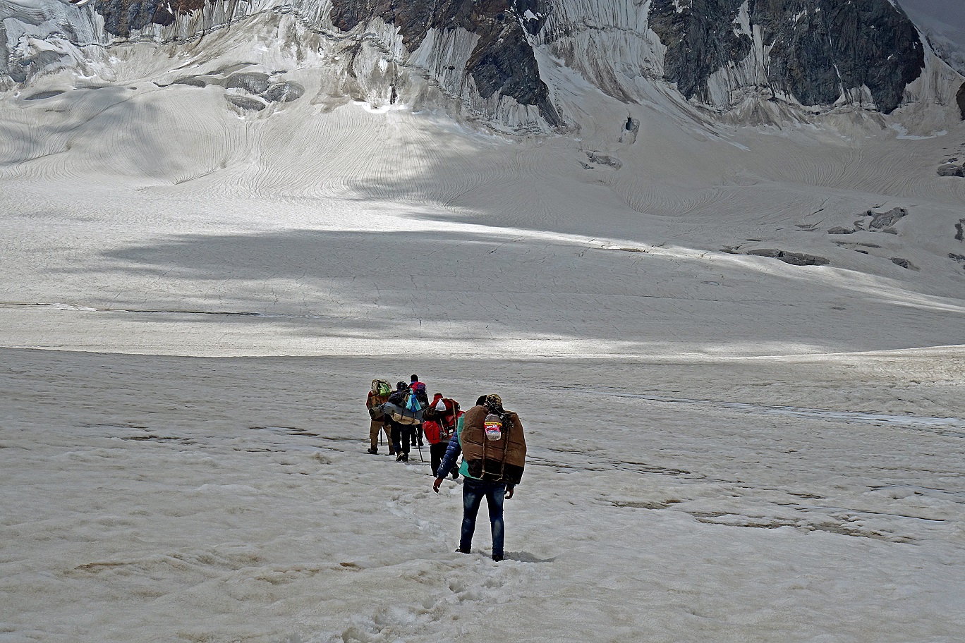
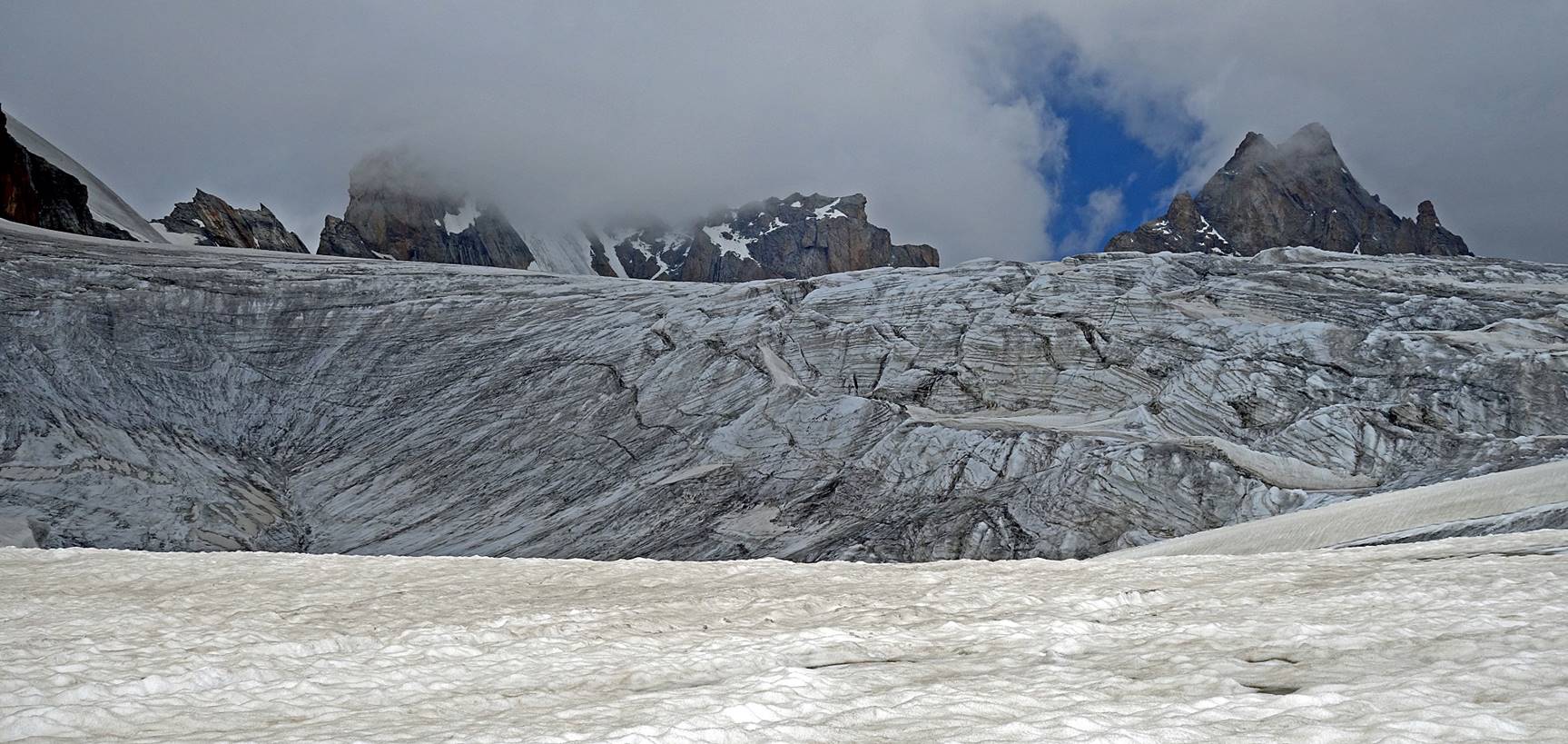
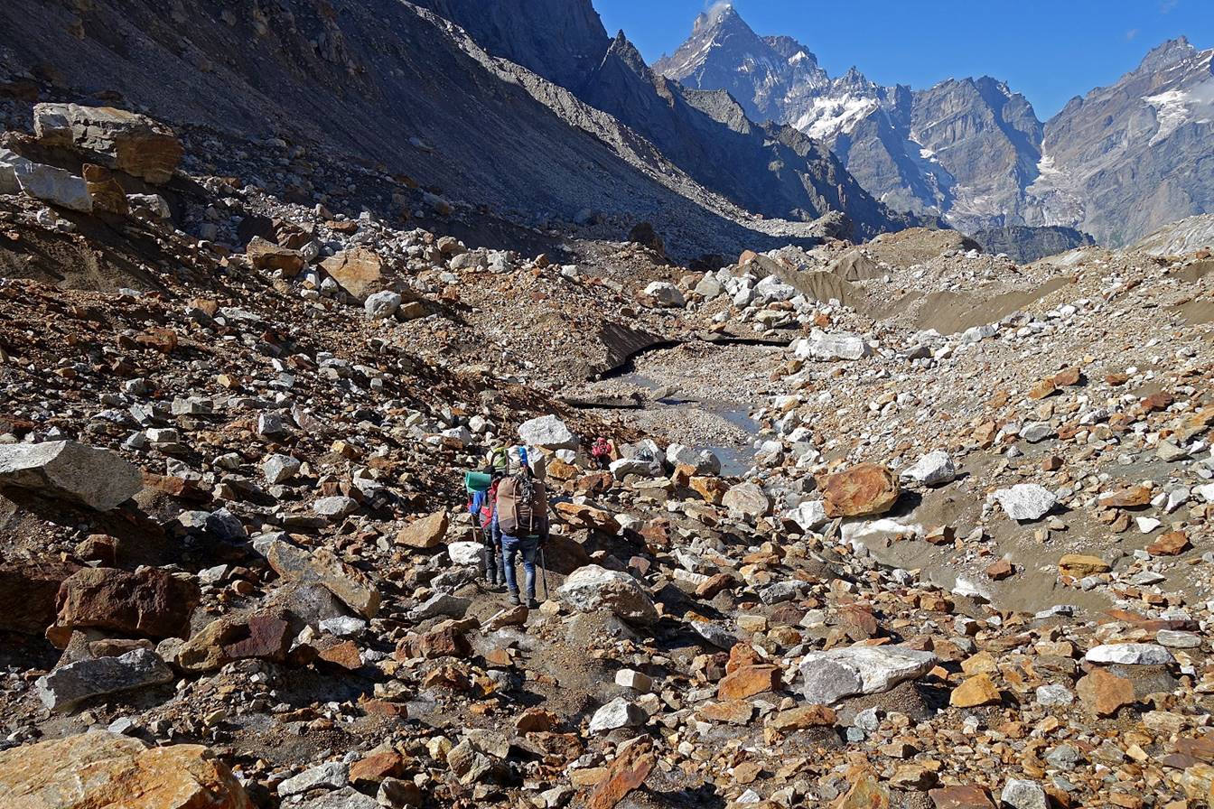
Views of the broken glacier as it steepens down several hundred meters.
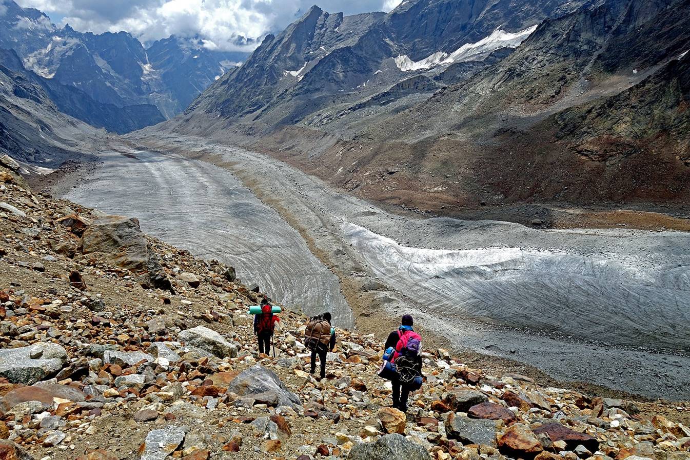
We hiked down an equally steep moraine
on the right side of the glacier to reach a flatter section where ″our″
glacier merges with another glacier flowing from the right.

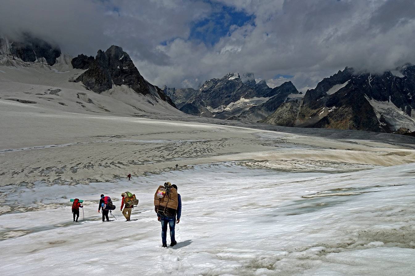
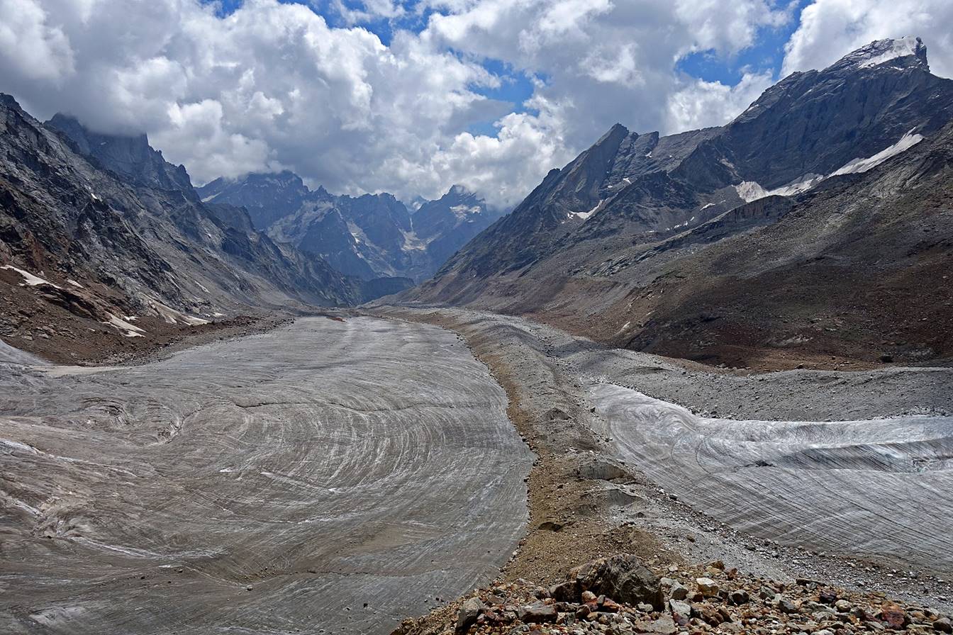
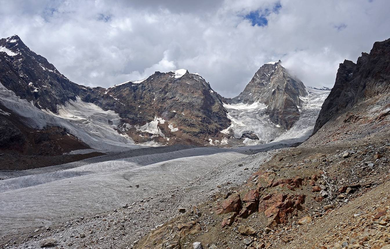
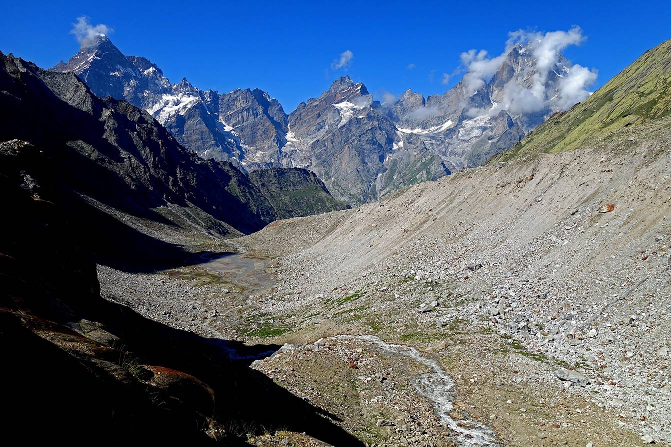
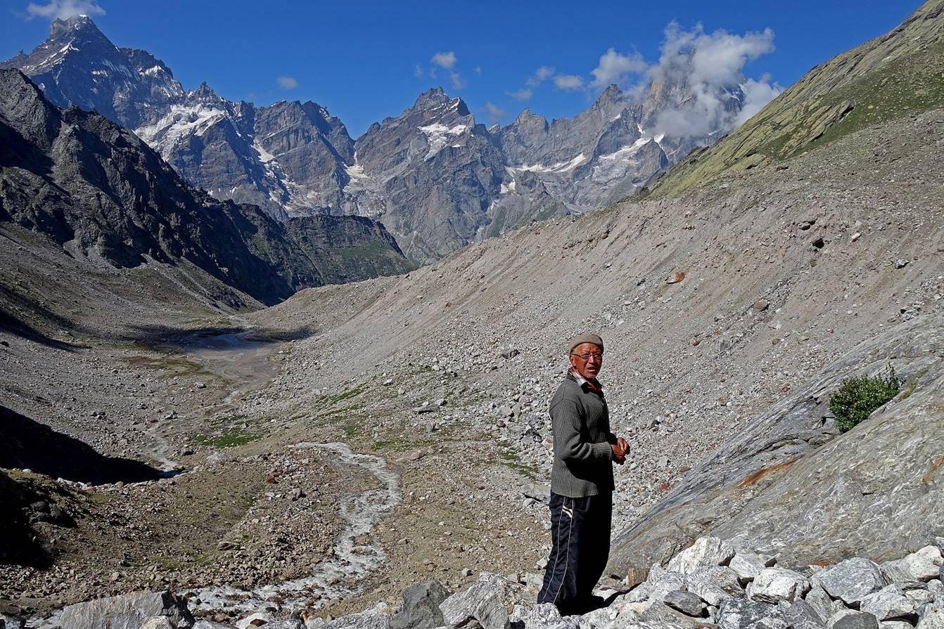
Confluence of the two glaciers (looking toward the south). We will soon
set our third camp on the rock band between the two glaciers.
View of the upper part of the glacier flowing from the right.
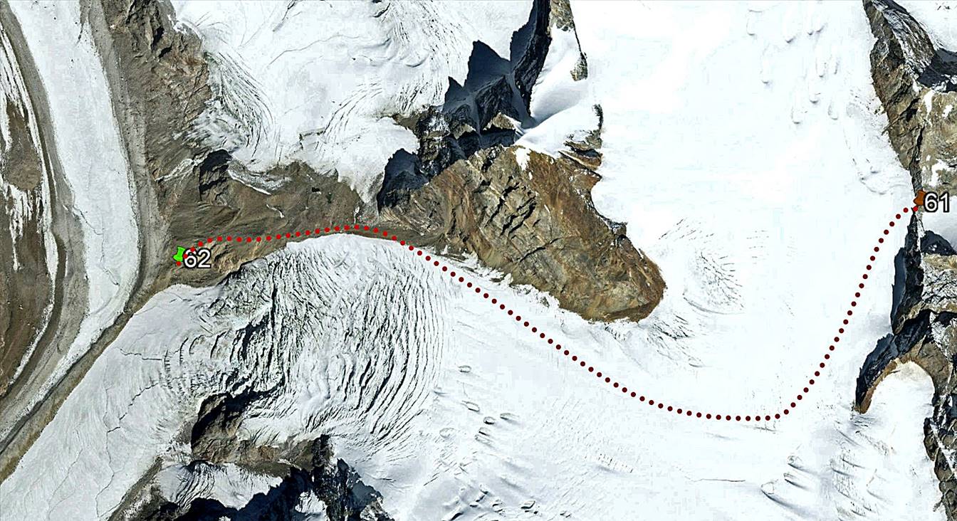
Our camp on the rock band (WP #62).

Our approximate path between Umasi La and the
camp (aerial Google Earth view).
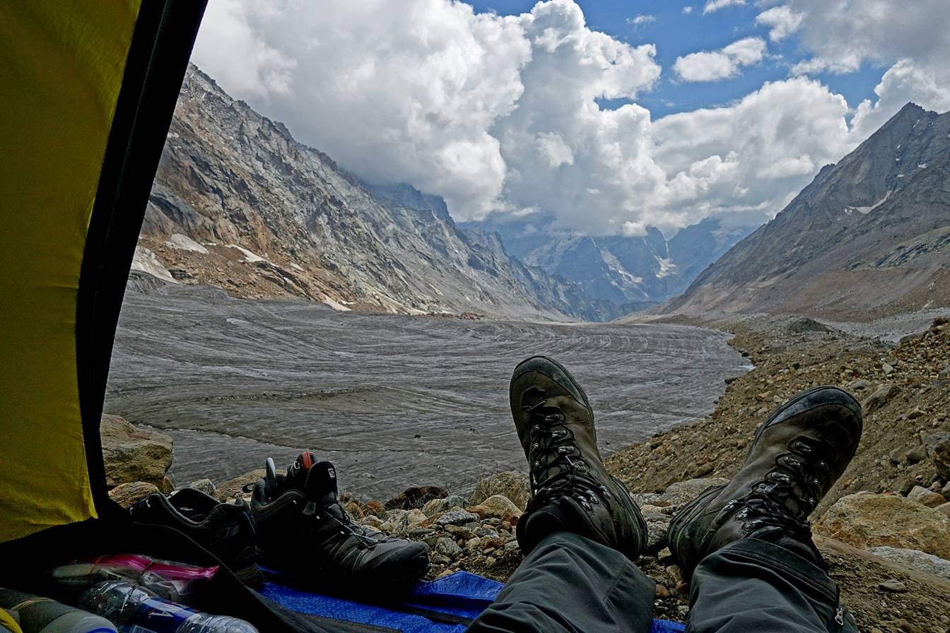
Views from my tent of the lower part of the glacier (first photo) and the
steep section above it (second photo).

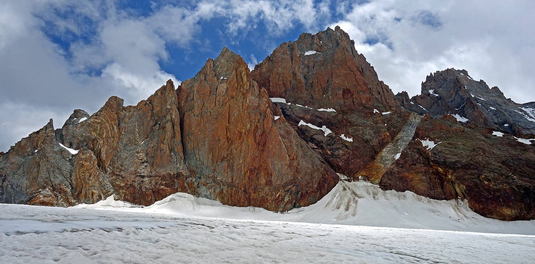
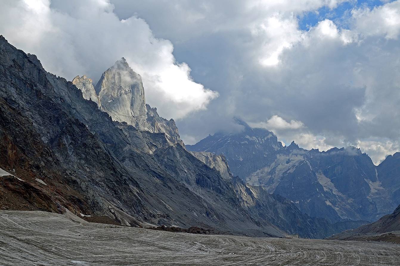
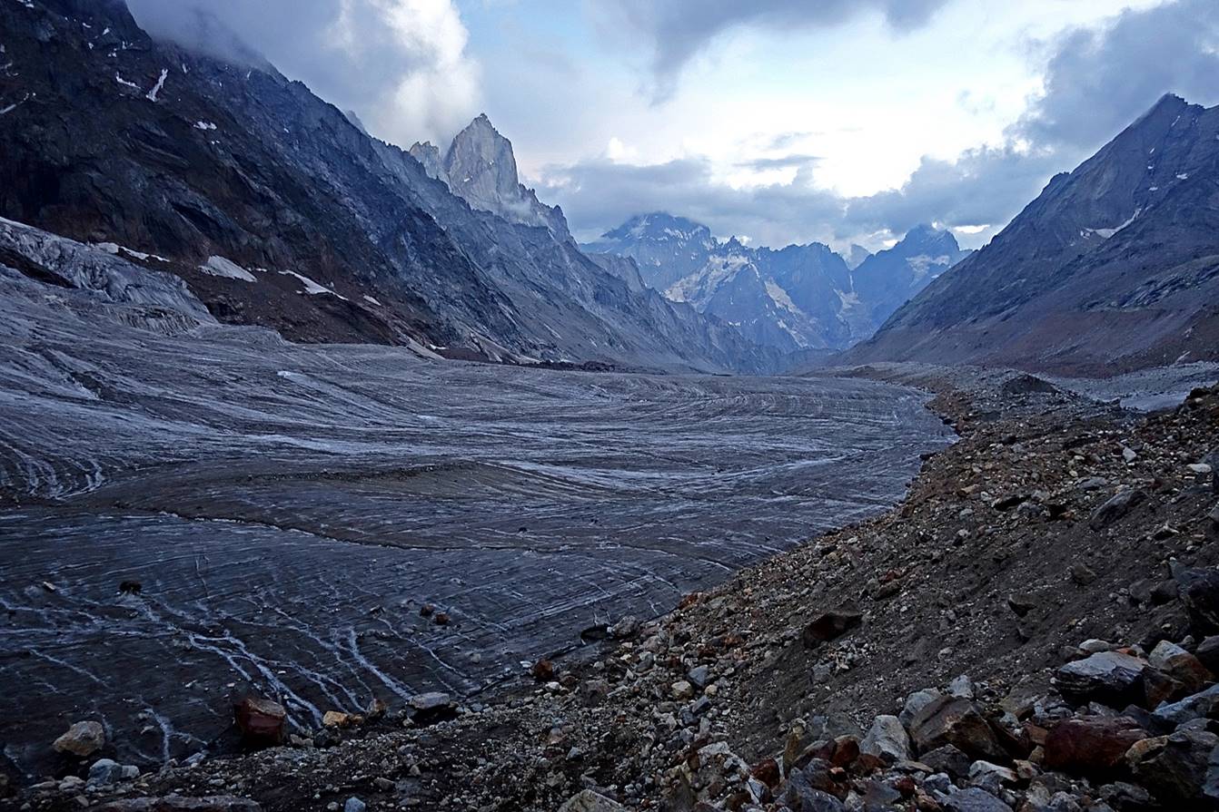
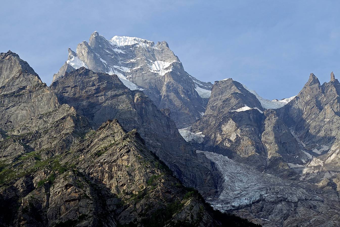
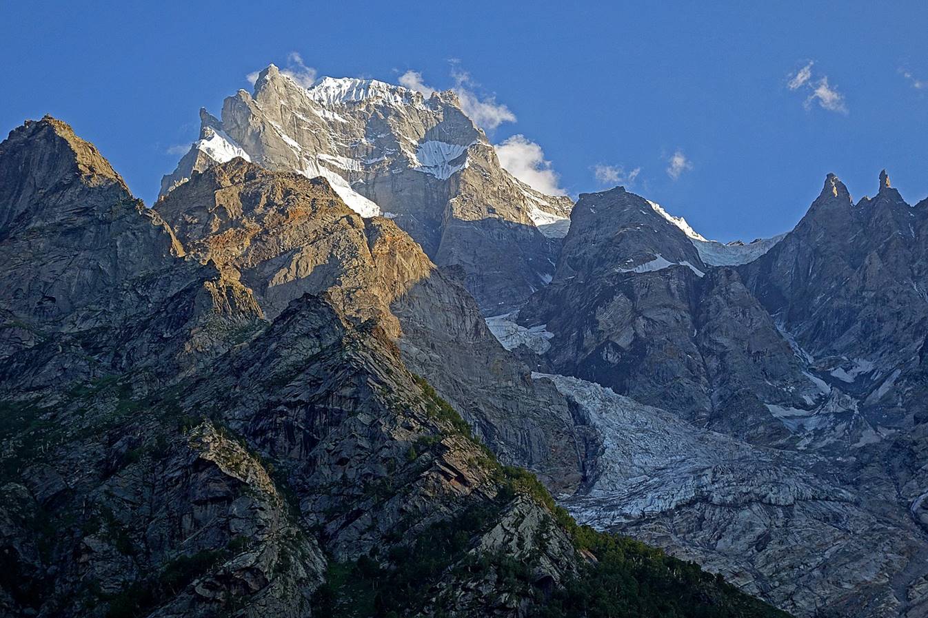
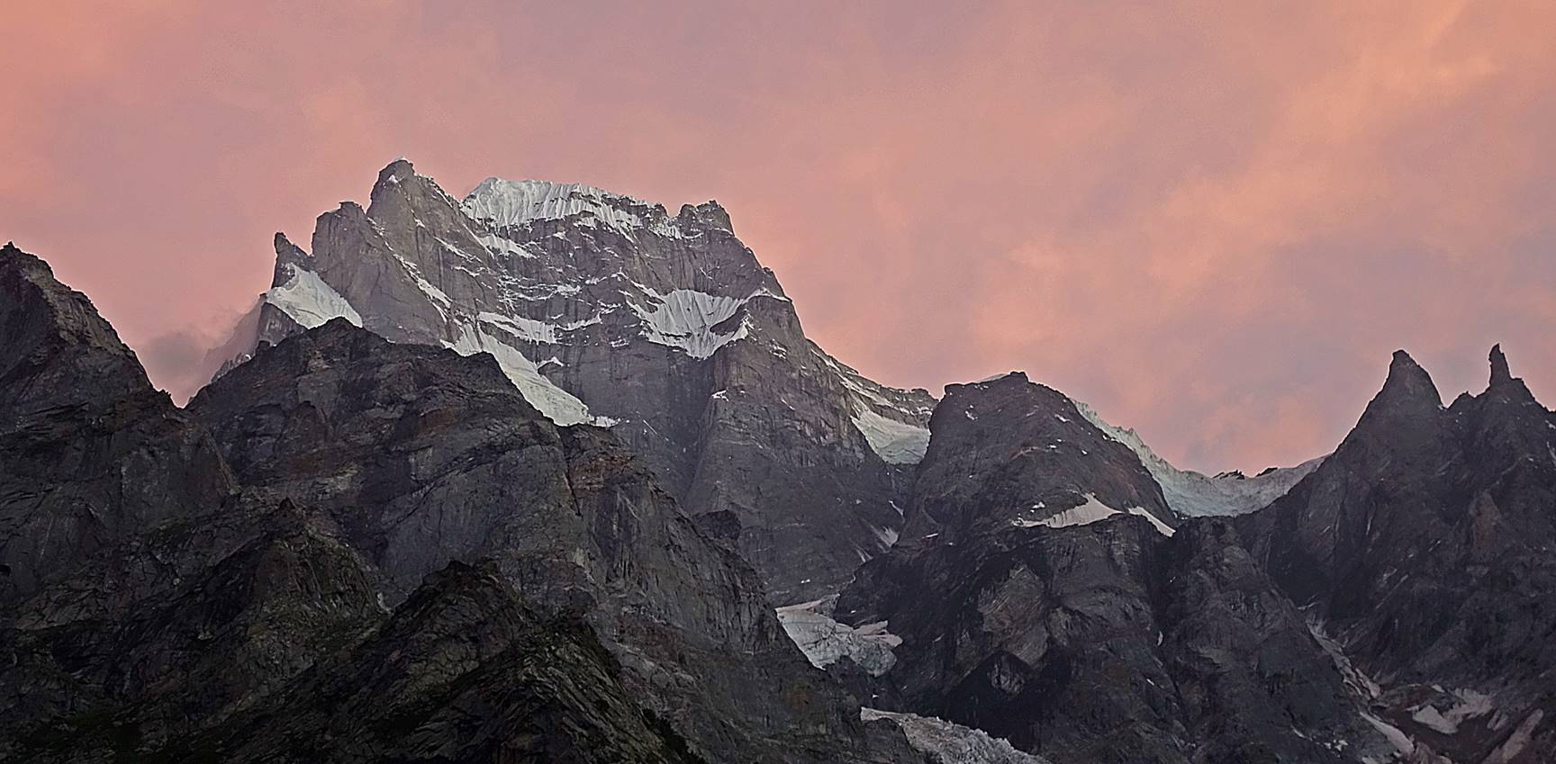
Later in the afternoon a tall rock tower, which had so far been hidden in
the clouds, became visible.
Similar view at dusk.
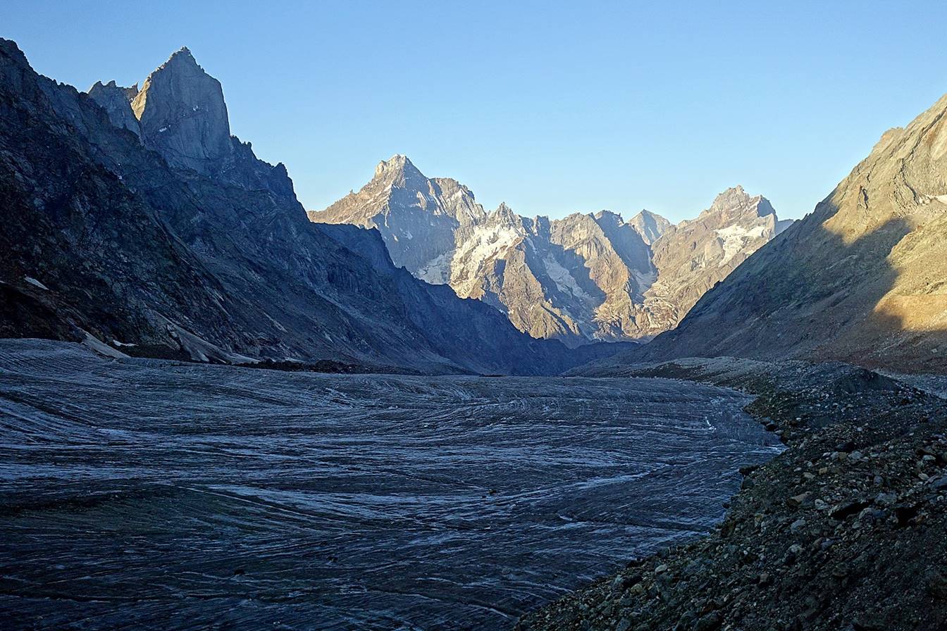
Day 4:
Early morning sunshine.
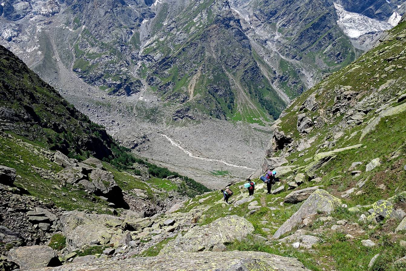
On our way down.
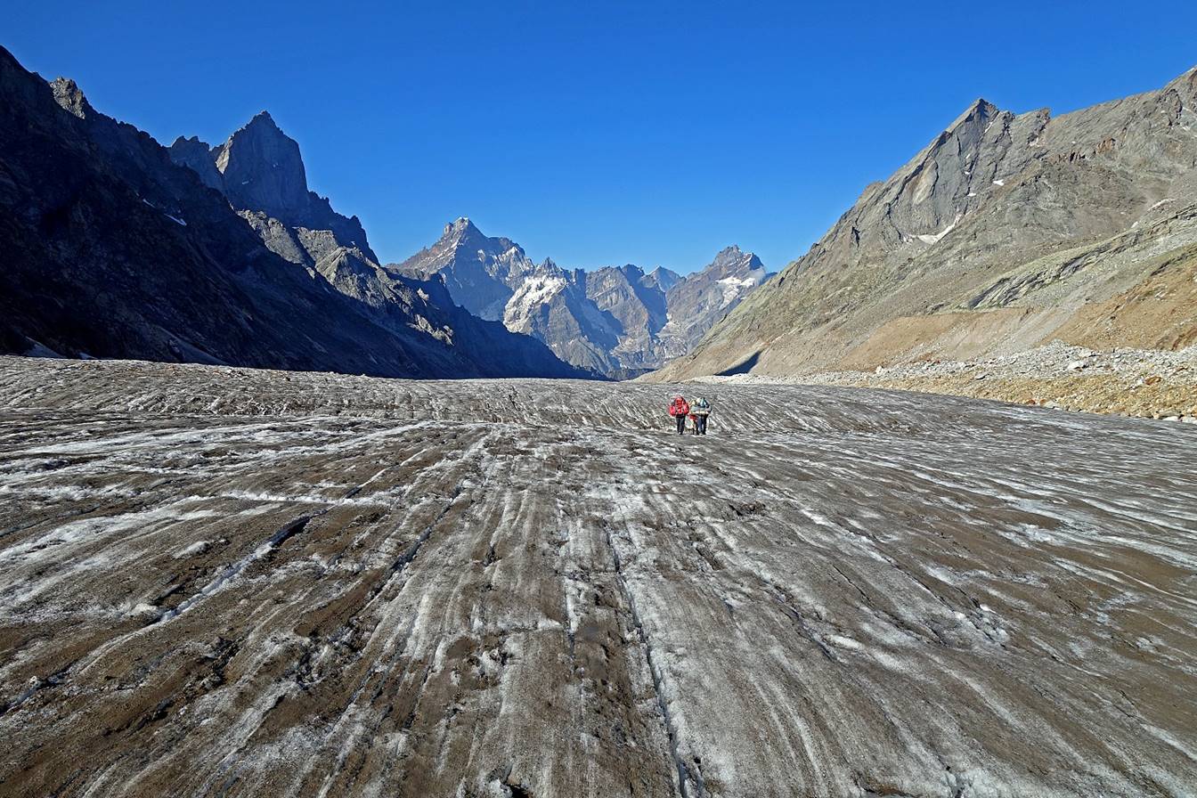
Looking back toward the north.
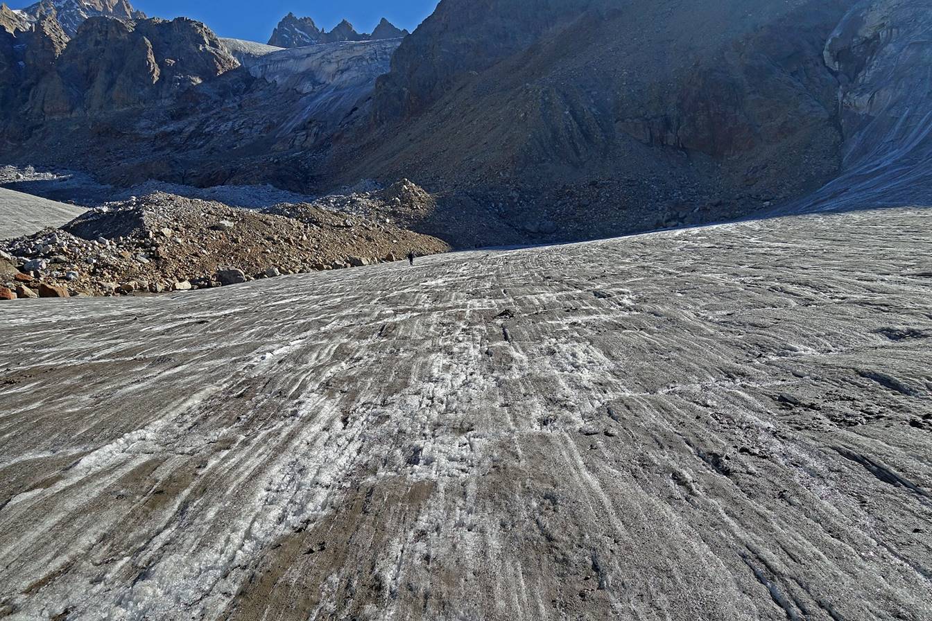
Further down.
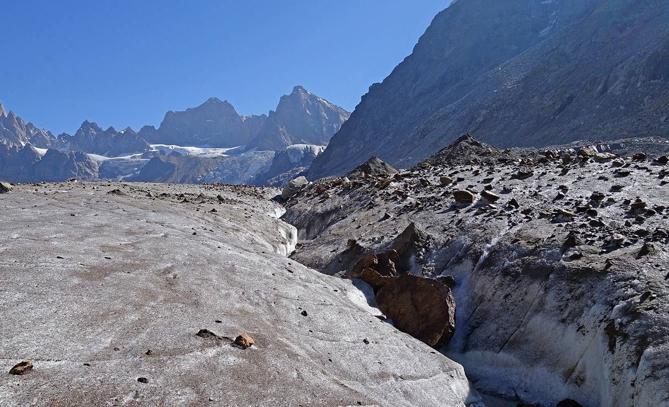
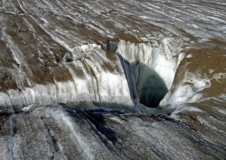
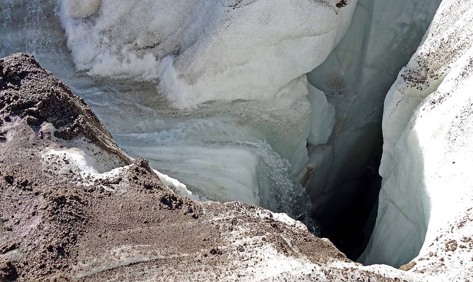
Water stream flowing into a deep hole in the glacier.
|
|
|
Near the end of the glacier.
On the edge of a steep headwall reached soon after the end of the
glacier.
Waterfall flowing down the headwall.
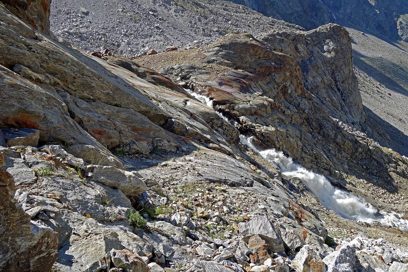
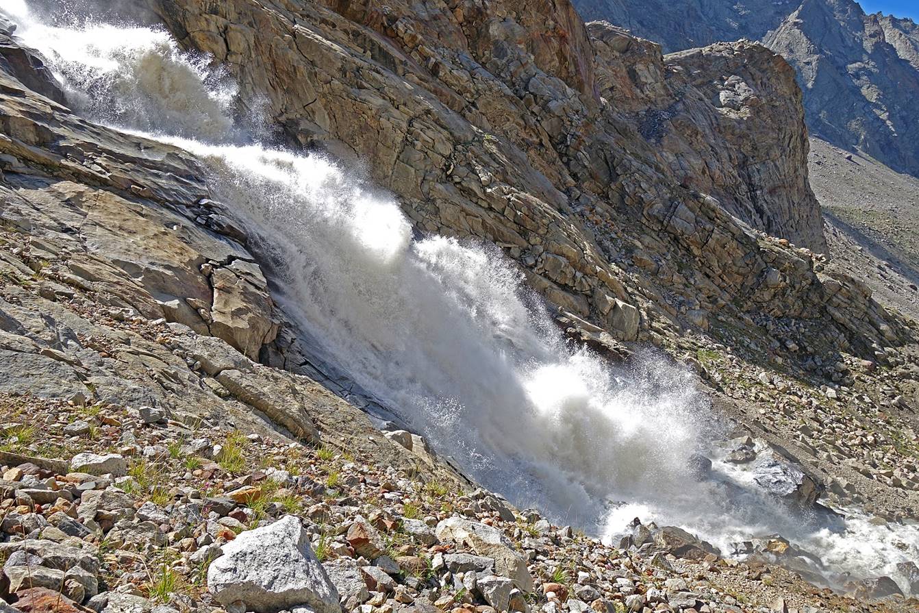
The headwall seen from beneath. The steeper part is near the top.
Further down.
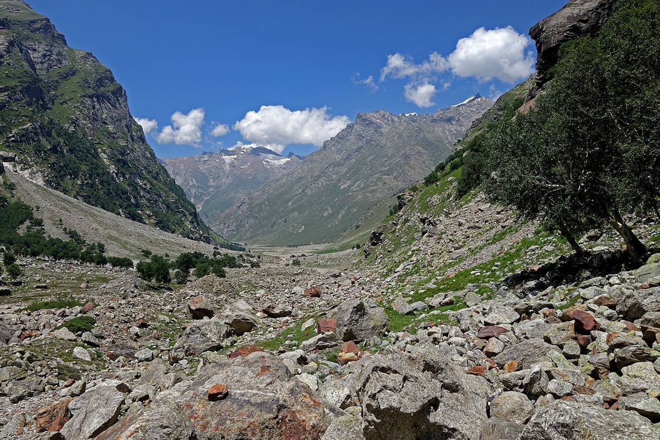
Last steep section of the descent before reaching the valley of the Bujwas river.

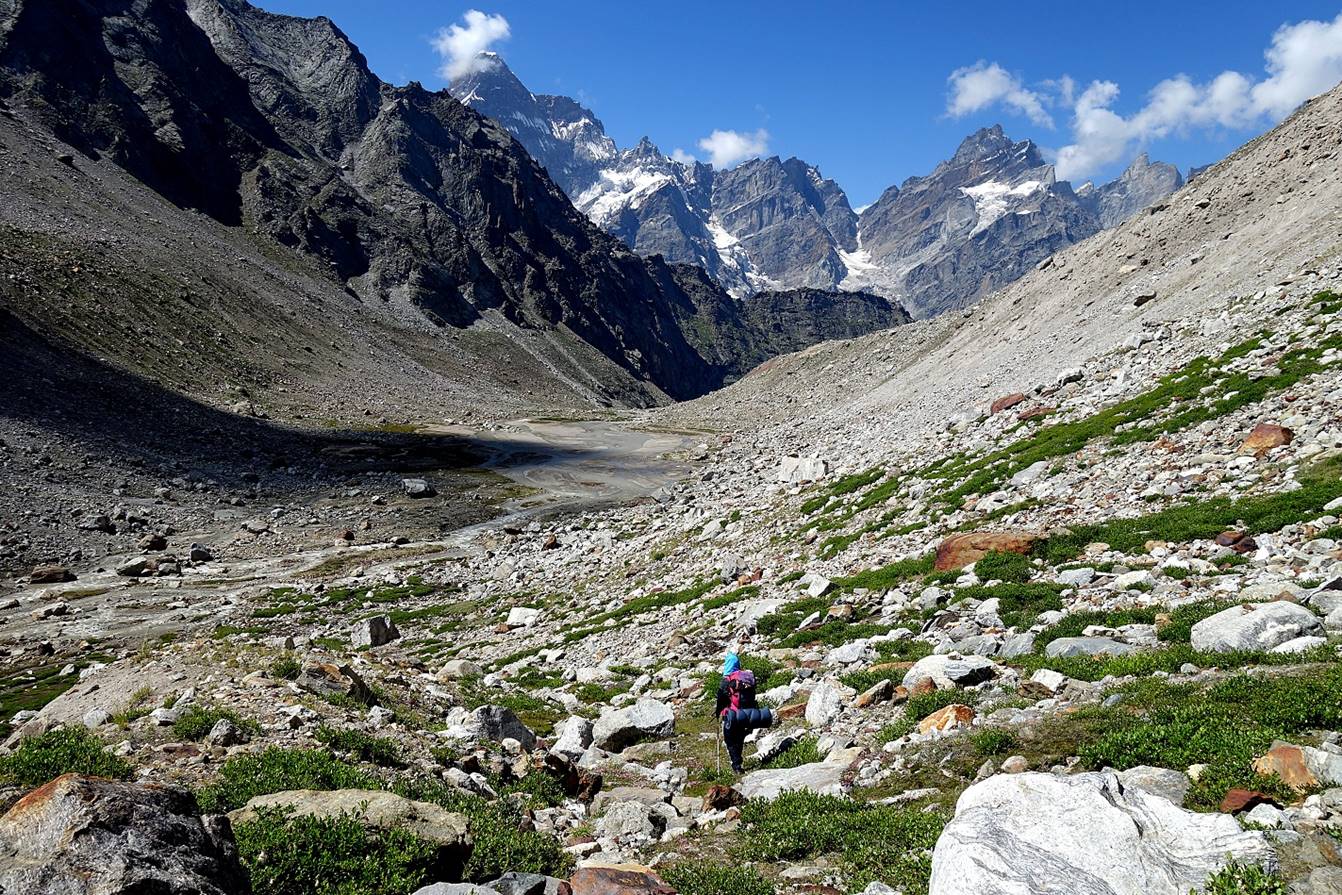
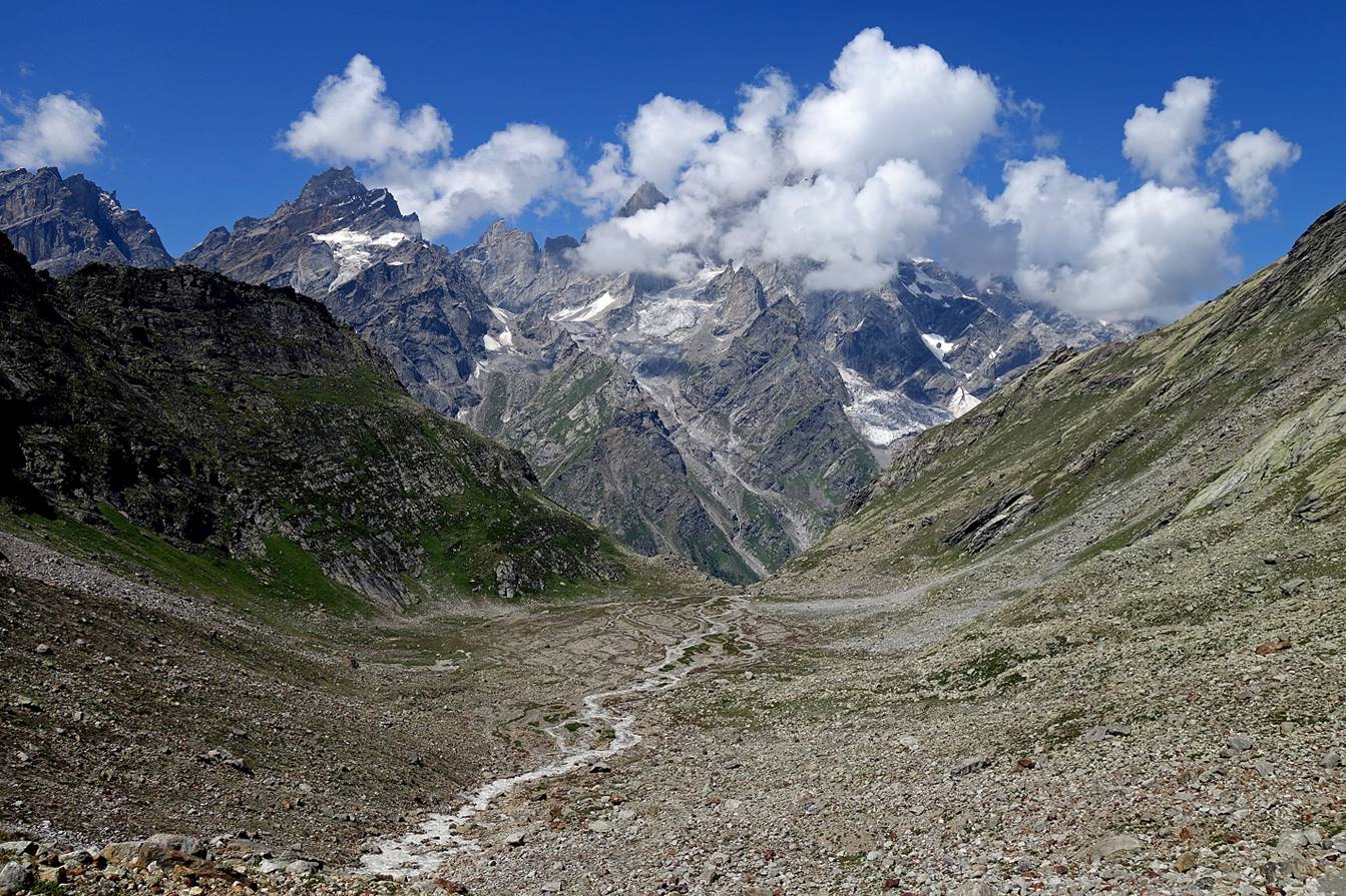
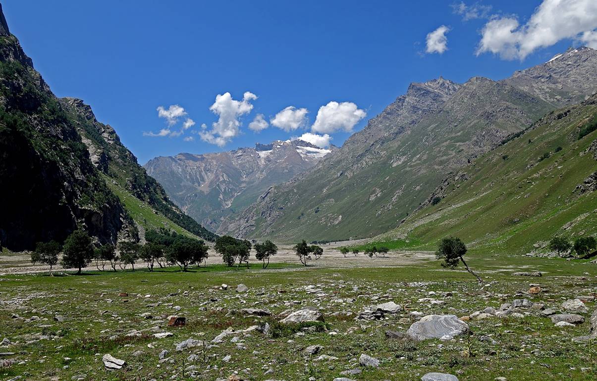
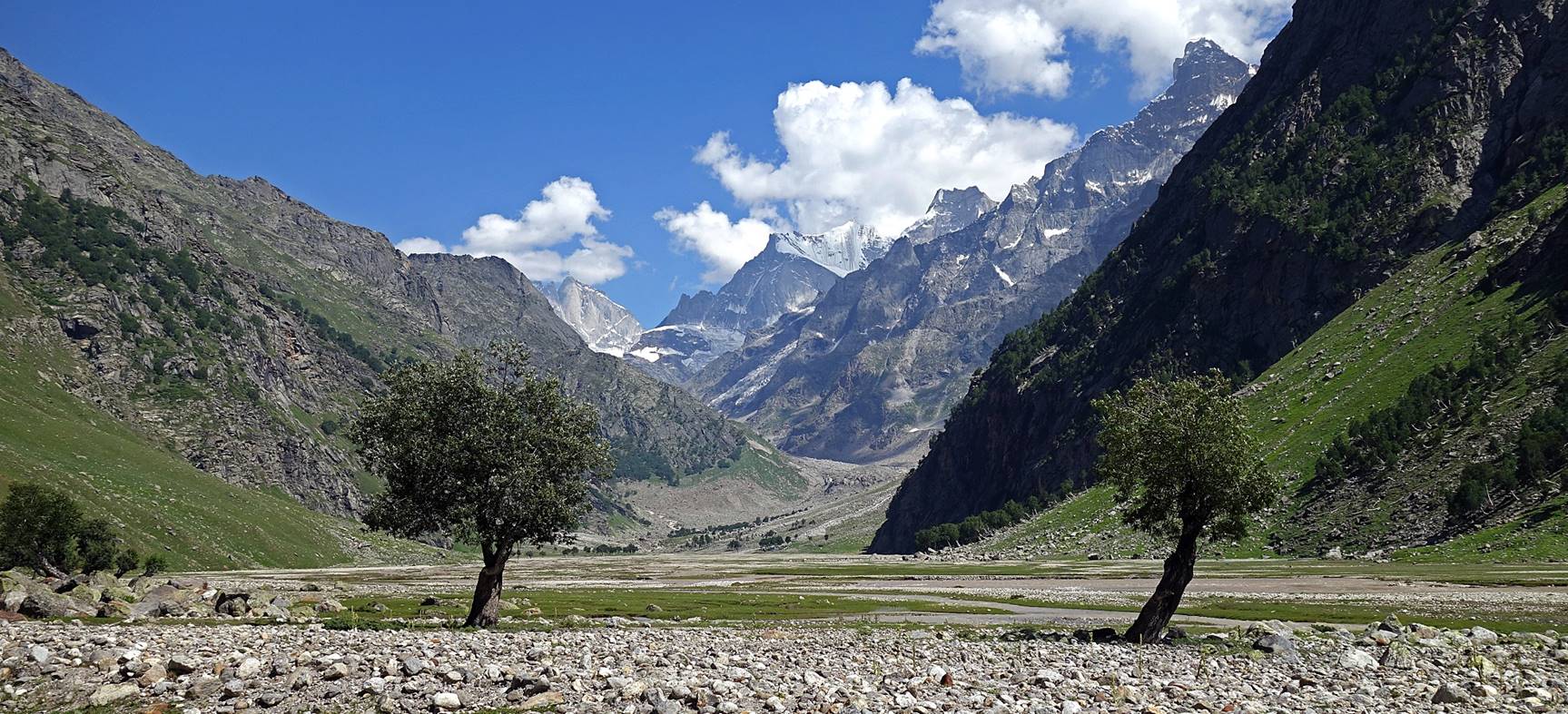
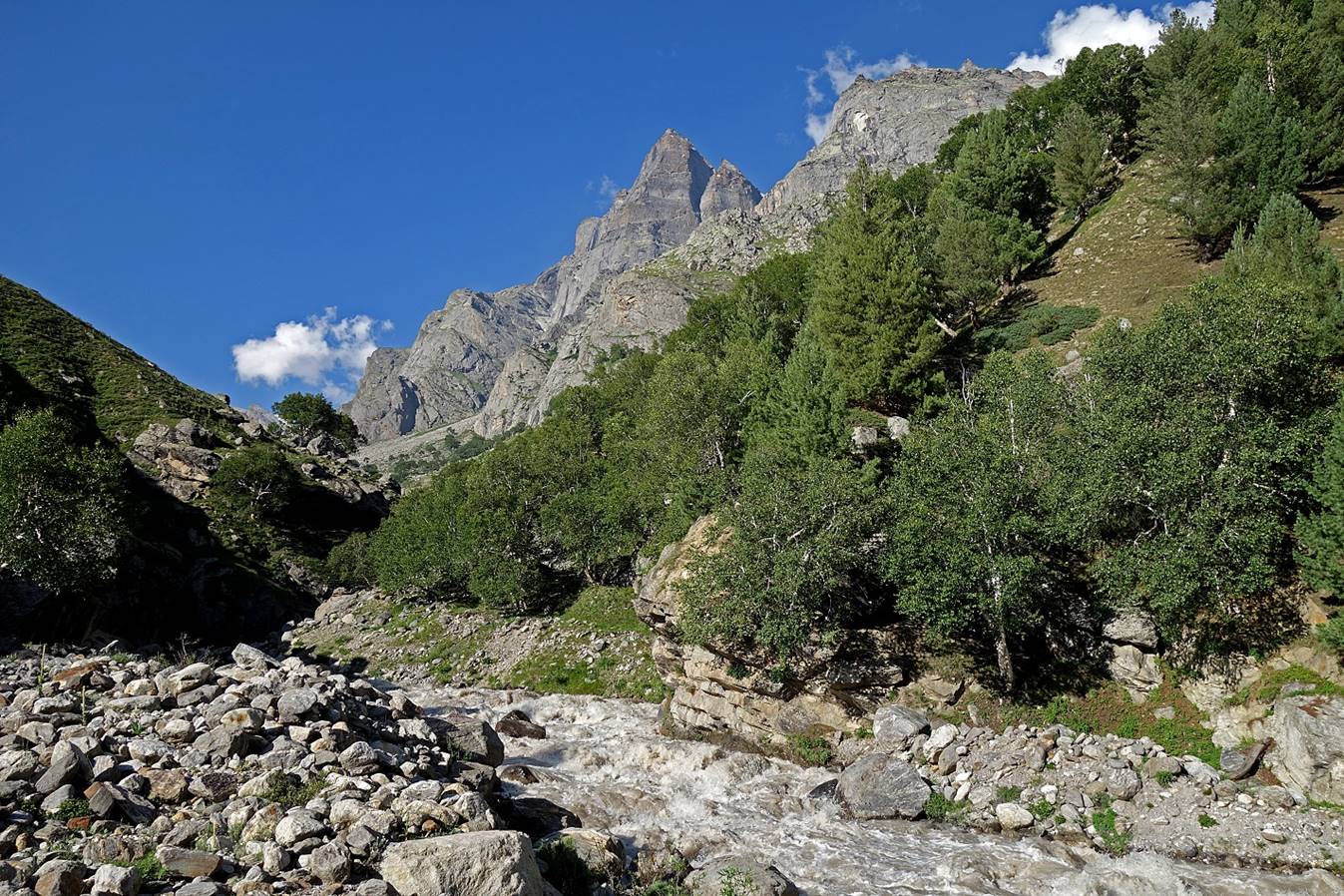
In the valley of the Bujwas river now heading
toward the west.
Views in the opposite direction toward the east.
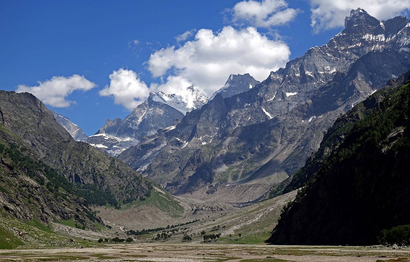

Further down in the valley.
|
|
|
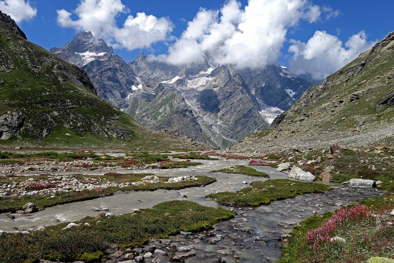
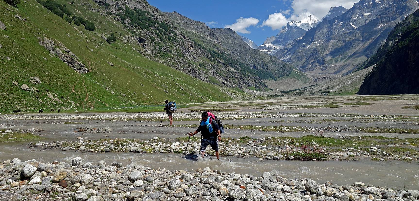
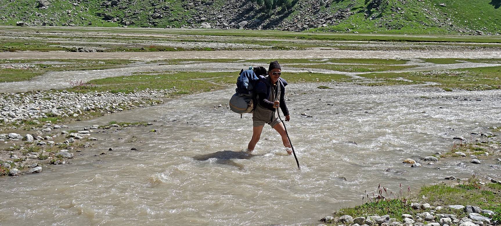
Fording a wide side-river.
Another look toward the east.
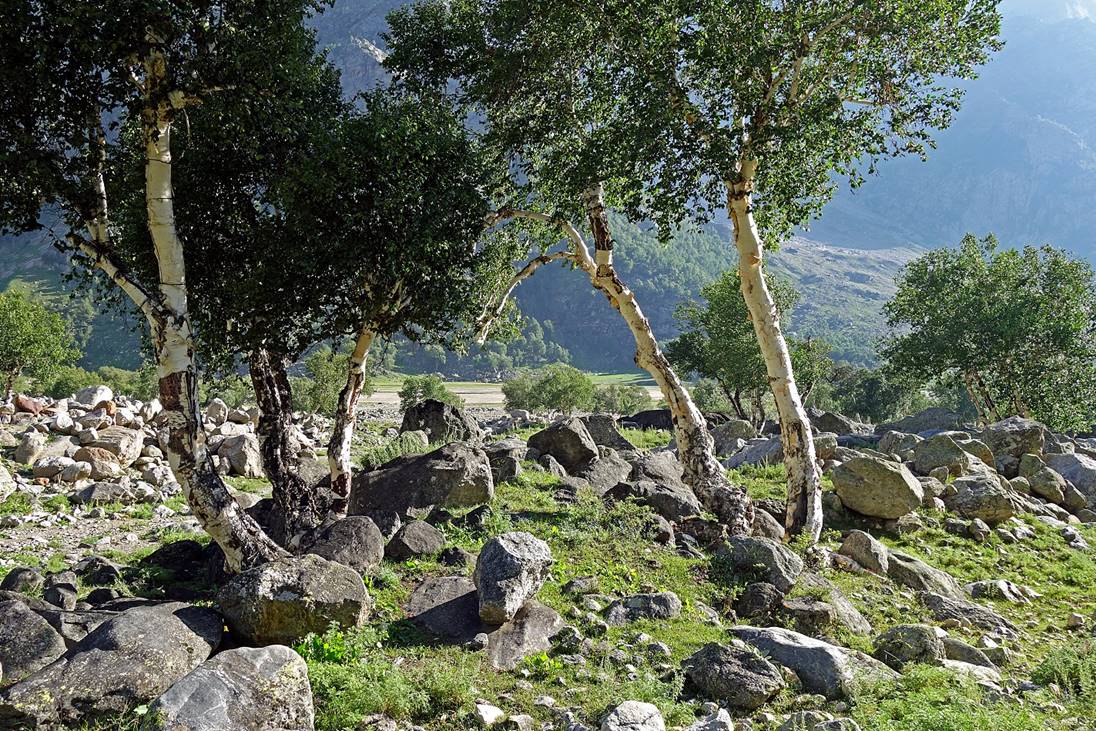
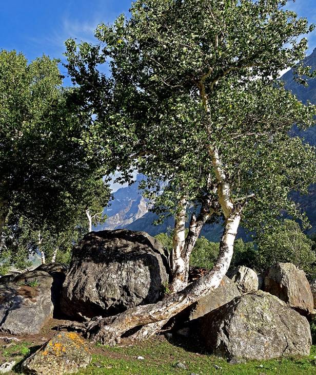
Twisted birch trees.
|
|
|
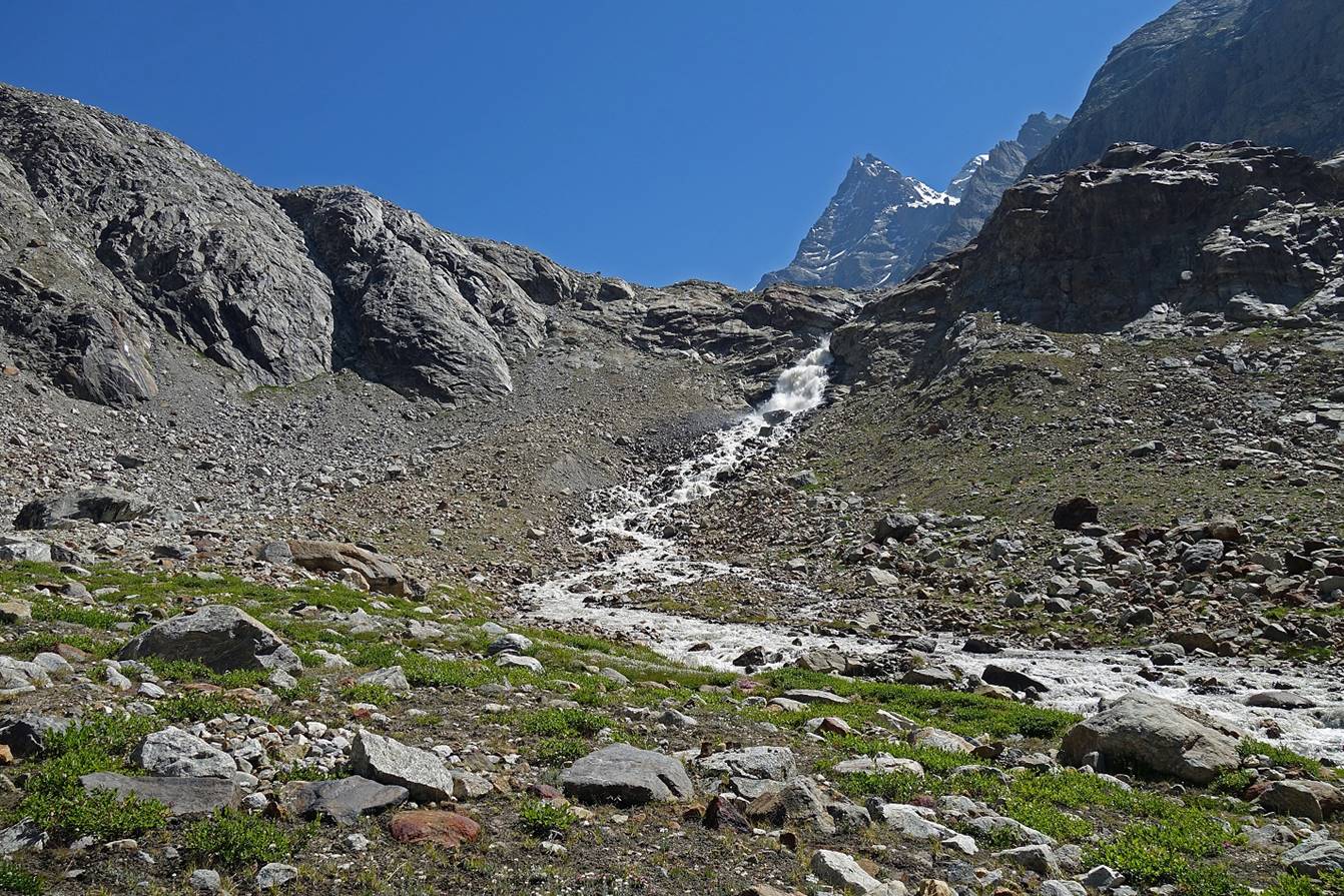
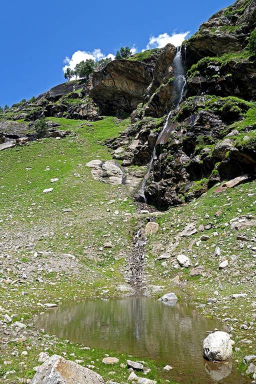
Side valley.
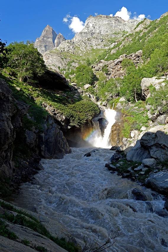
Waterfall in the side valley.
|
|
|

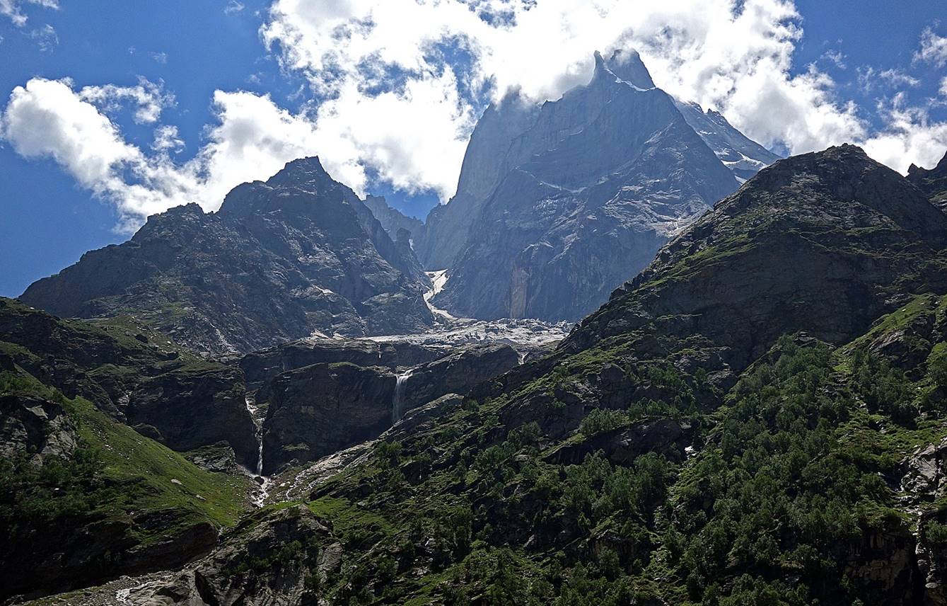
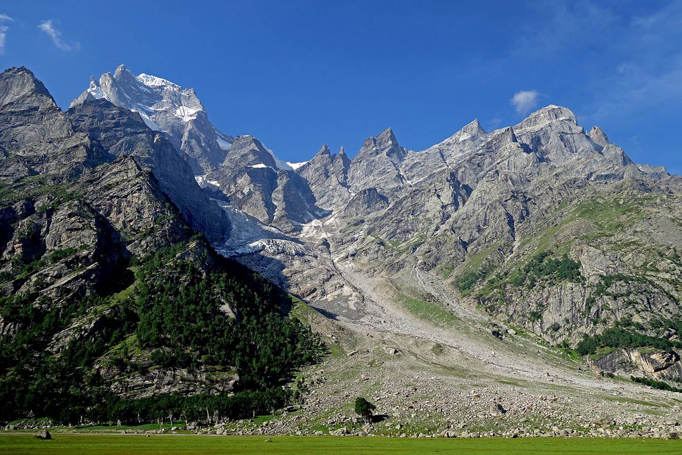
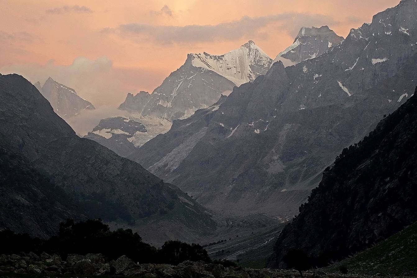
We set our fourth camp at WP #68 in a
meadow on the shore of the Bujwas river,
below a magnificent peak (6000m) called Mahadeva peak
(meaning ″Great God″) by the local people, and perhaps better known
as Kishtwar Shivling.
Other views of the Mahadeva peak at different
times.
View of the valley toward the east at dusk.
To directly access part 3/3 of the Umasi La
crossing, click here.
![]()